


WW 12: Rundweg St. Oswald
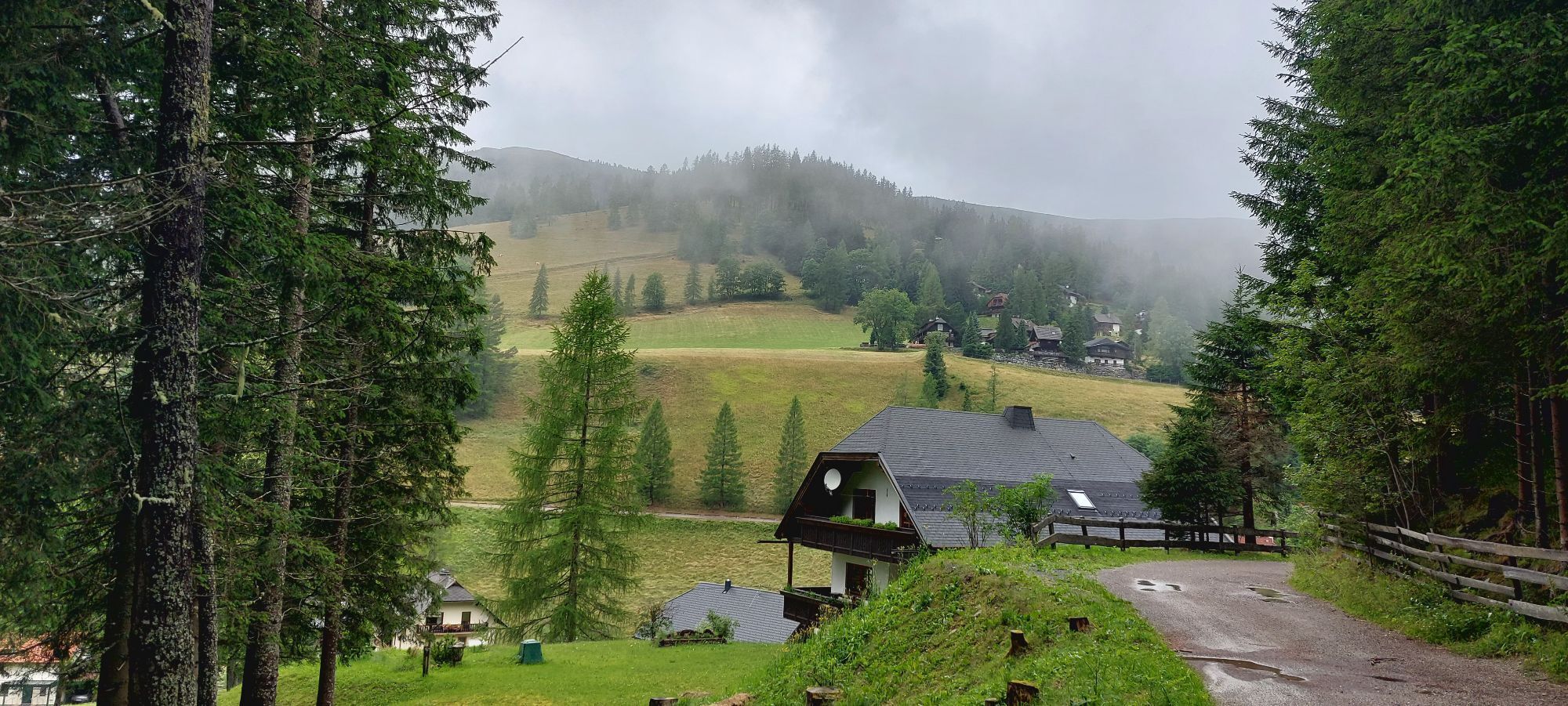
From the parking lot of the valley station of the Biosphärenparkbahn Brunnach mountain station, walk right along an asphalt road, the Angerbichlweg, to a bridge where the signpost leads left towards Falkerthaus...
From the parking lot of the valley station of the Biosphärenparkbahn Brunnach mountain station, walk right along an asphalt road, the Angerbichlweg, to a bridge where the signpost leads left towards Falkerthaus and Lärchenhütte. After just 150m, turn left again onto Oswin Moro Weg, where you reach the over 850 years old Wegerstadl. Continue along Oswin Moro Weg and then Mallnockweg, which passes Gattererhof and the village Großwild, until you reach the valley station of the Biosphärenparkbahn Brunnach.
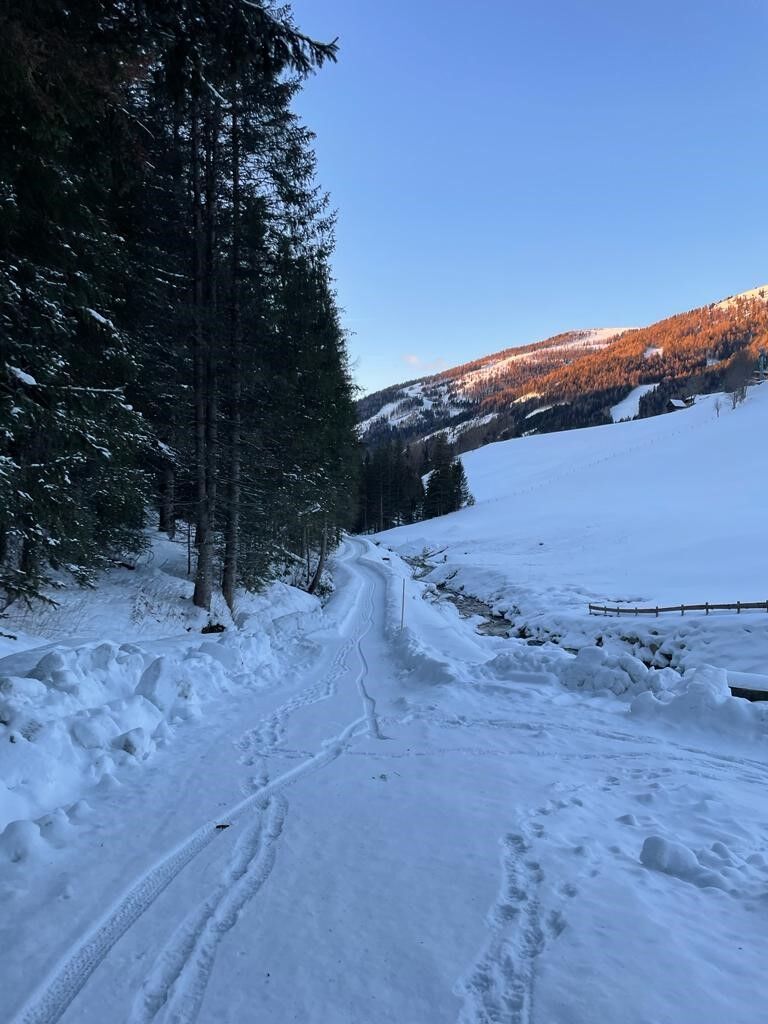
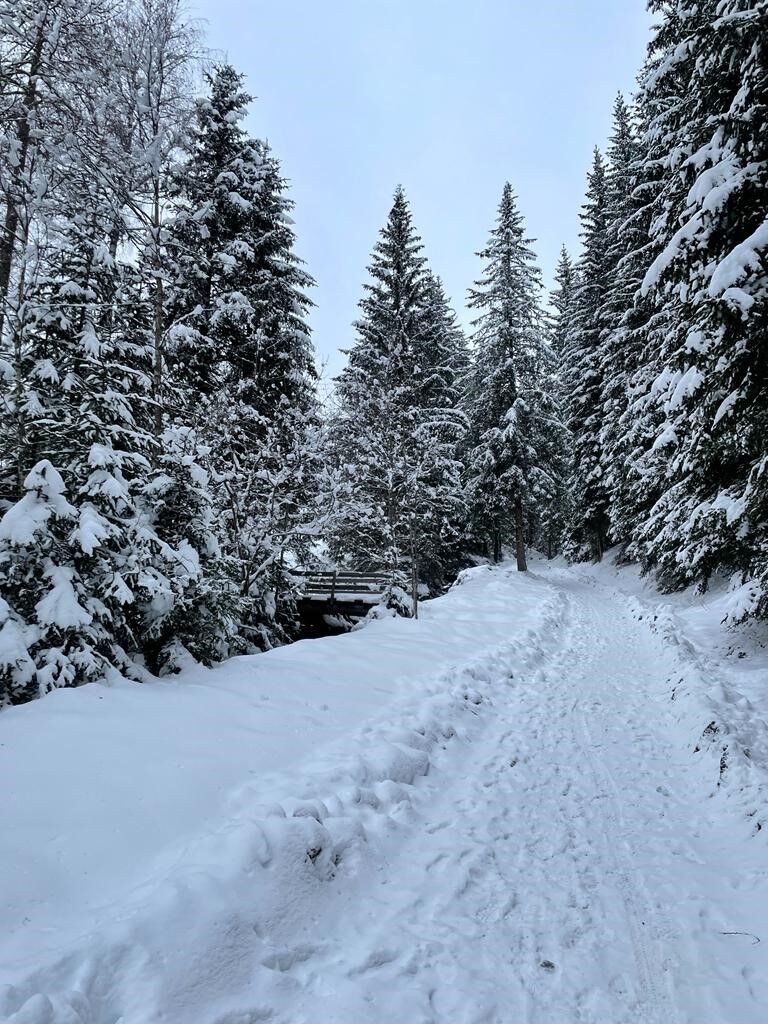
There, turn right onto the hiking trail, which leads into Rosennockstraße. Walk 200m downhill along this before turning onto a forest road that climbs uphill. At the first hairpin bend, the signpost “Rundweg St. Oswald” leads you along a forest road to a timber storage yard. There, turn left and walk downhill in serpentine bends on a beautiful forest path until you reach St. Oswald church. The little church with its beautifully maintained parsonage is worth a visit! At the end of the church path, turn left onto the main road, Rosennockstraße, which brings you back to your starting point, the parking lot.
From the parking lot of the valley station of the Biosphärenparkbahn Brunnach mountain station, walk right along an asphalt road, the Angerbichlweg, up to a bridge where the signpost leads left towards Falkerthaus and Lärchenhütte. After just 150 m, turn left again onto Oswin Moro Weg, continue along Oswin Moro Weg and then Mallnockweg until you reach the valley station of the Biosphärenparkbahn Brunnach.
There, turn right onto the hiking trail, which invites you to rest on cozy benches. This hiking trail leads into Rosennockstraße, which you follow downhill before turning right at the Gasthof-Restaurant Sportalm and hiking about 200 m uphill on a forest road. At the first hairpin bend, the signpost “Rundweg St. Oswald” leads you further along a forest road to a timber storage yard. There, turn left and walk downhill in serpentine bends on a beautiful forest path until you reach the St. Oswald church. The little church with its beautifully maintained parsonage is worth a visit! At the end of the church path, turn left onto the main road, Rosennockstraße, which leads you back to your starting point, the parking lot.
Tip: If you feel like walking a while longer, cross the main road at the Kirchweg – Schulweg intersection at this point. Follow the “Rundweg St. Oswald” signpost along a field path downhill to the next fork. Here, turn left and first cross a bridge and then follow the St. Oswalder Bach until you reach Alte Schmiede. After about 150 m, the road leads into Angerbichlweg, which brings you to the parking lot of the cable car.
Da
Important prerequisites for a successful mountain hike are, in addition to careful study of guides and maps, optimal equipment. The basic equipment includes:
solid, well-fitting mountain or hiking boots with grippy soles water- and windproof mountain clothing in layers, hiking poles sunglasses, sun protection mobile phone and hiking map a first aid kit as well as enough to drink and a snack
Emergency numbers:
140 Alpine emergency call
144 Rescue emergency call
112 European emergency call (possible from all networks. Turn off the mobile phone and after turning it on, dial "112" instead of the PIN)
The route partly runs along public roads and paths. Be aware of vehicular traffic and observe the road traffic regulations.
until Feldkirchen; take B95 to Patergassen, turn left onto B88 and follow the road to Bad Kleinkirchheim
Access via A10 Tauern Motorway, Spittal-Millstätter See junction exittake B98 to Radenthein, then switch to B88 and follow the road to Bad Kleinkirchheim
Access via A10 Tauern Motorway, Villach-Ossiacher See exittake B98 to Radenthein, then switch to B88 and follow the road to Bad Kleinkirchheim
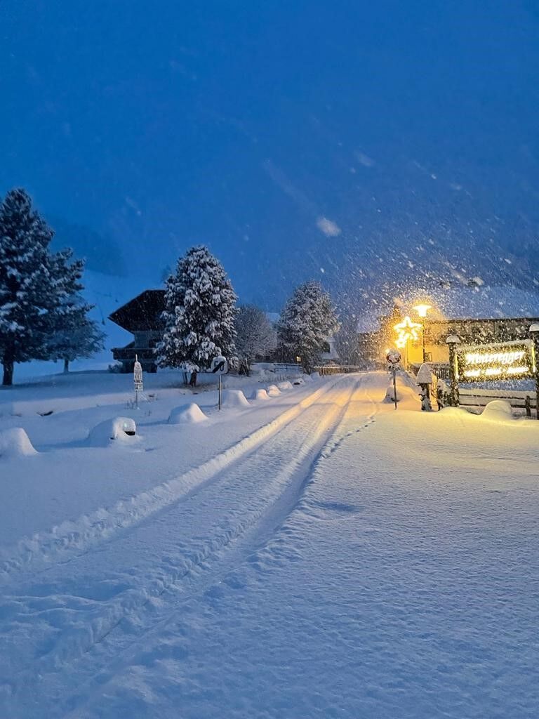
The free ski and thermal bus takes you from A to B in Bad Kleinkirchheim / St. Oswald.
Operating period: mid-December to early April
As a feeder to public transport, the Nockmobil is an on-demand shared taxi, a green alternative to the car, bringing you flexibly from stop to stop.
To book a trip with the Nockmobil, we recommend a lead time of about one hour. You can book your shared taxi by phone at +43 123 500 444 24, via the app or the ISTmobil website.
ÖBB timetable-postbus
free parking lots:
Parking lot Nationalparkbahn Brunnach
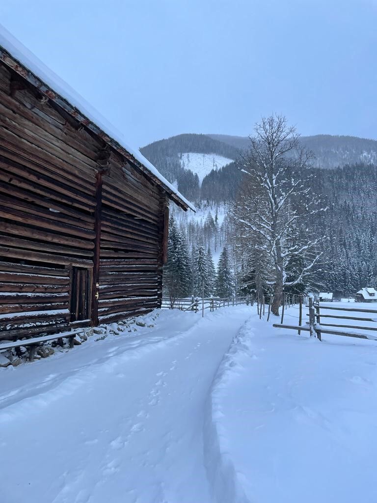
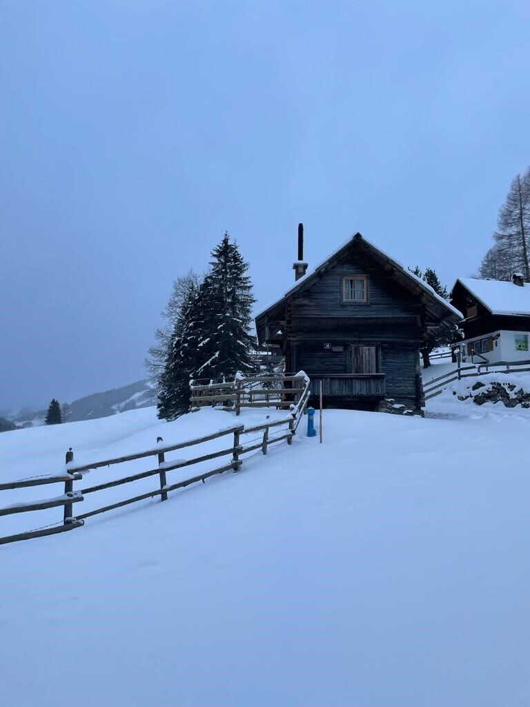
The Wegerstadl houses the “Urgestein” museum with pictures showing what the mountain farming village of St. Oswald looked like “back then.” At the beginning, take a detour to the craft museum at Alte Schmiede. Visit the Gothic church of St. Oswald and get to know the original village center of St. Oswald.

Priljubljeni izleti v okolici
-
4.6
Turracher 3 Seen Weg - Weg der Sinne zwischen Berg & See
svetlobaTematska pot 7.15 km -
4.5
Schoberriegel 2.208 m
srednjaPohodništvo 9.50 km -
4.9
Nockbergrundwanderweg
srednjaPohodništvo 6.62 km -
4.8
Enzian-Granatsteig & Almbrunn Steig
svetlobaPohodništvo 8 km -
4.9
St. Oswald - Circular hike - Mallnock - Klomnock
srednjaPohodništvo 10.9 km -
4.8
Große Rosennock Runde
Pohodništvo 9.80 km -
4.6
Falkertsee - Sonntagstal - Falkert
srednjaPohodništvo 4.84 km -
4.7
H-2-O Höhenweg
svetlobaTematska pot 5.40 km -
4.7
Falkert, Murmelsteig B/C mit Direktem Abstieg
srednjaVia ferrata 3.61 km -
4.8
Nockhöhensteig
srednjaPohodništvo 7.67 km

Pohodništvo in sledenje


Ne zamudite ponudb in navdiha za naslednje počitnice
Vaš e-poštni naslov je bil dodan na poštni seznam.