


Maria Luggau-Ebnertal-Moos-Maria Luggau
Ideal hike for warming up or also as an evening hike! Starting point is the same as for route no. 28, heading towards Ebnertal. After about 1 km you cross the Ebnertal stream via a wooden footbridge and...
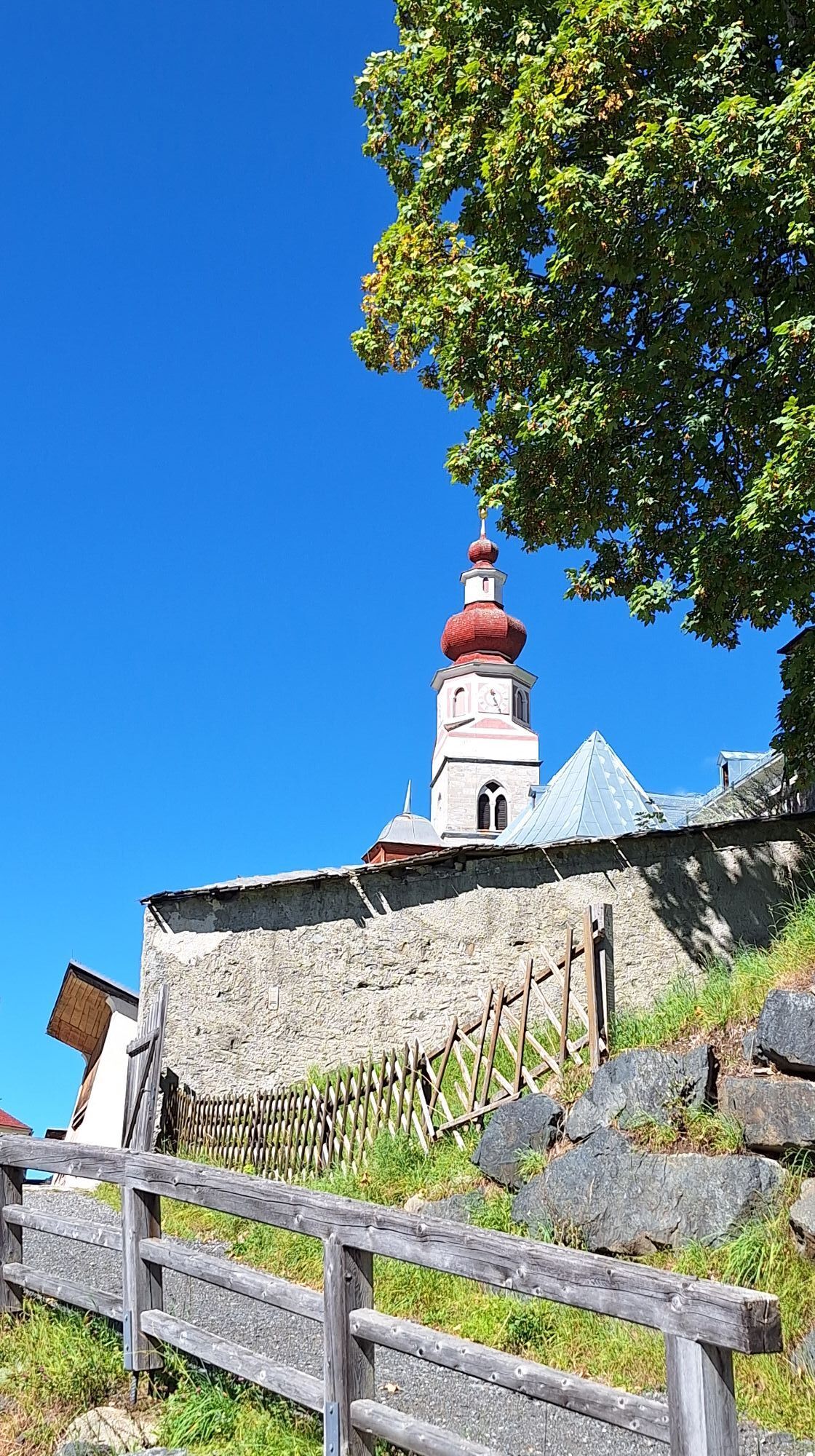
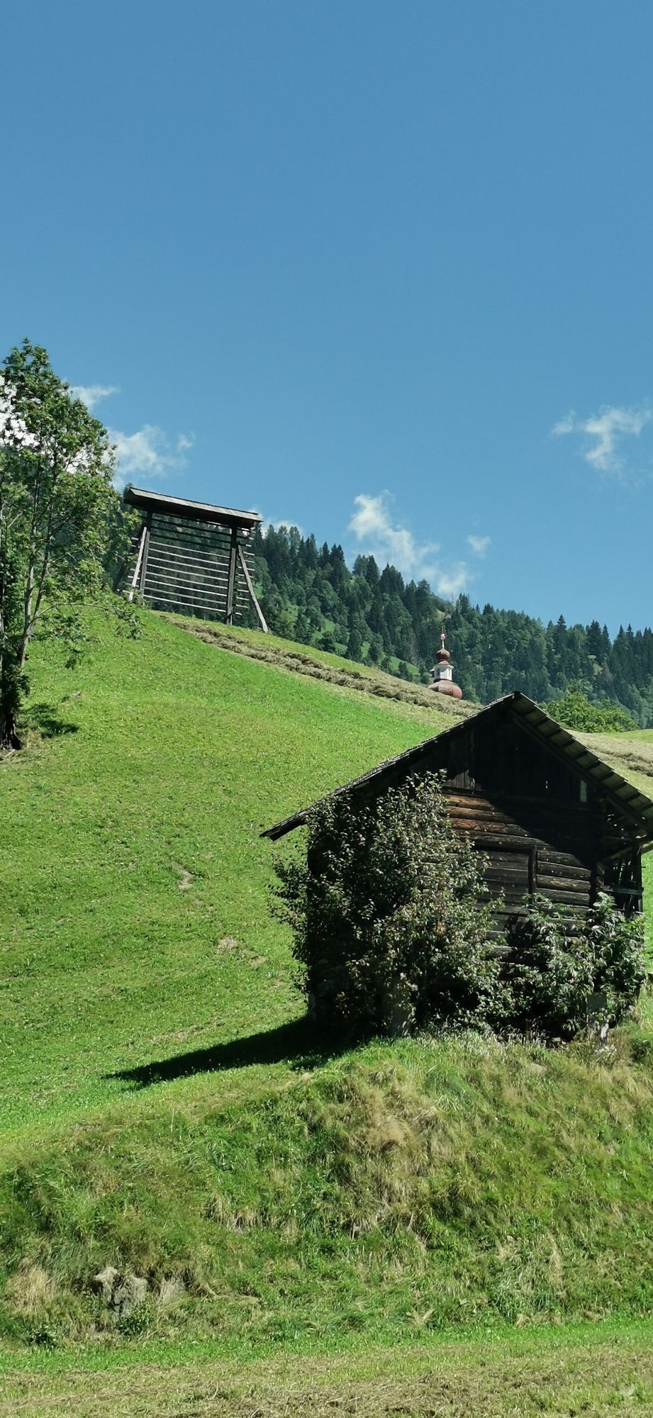
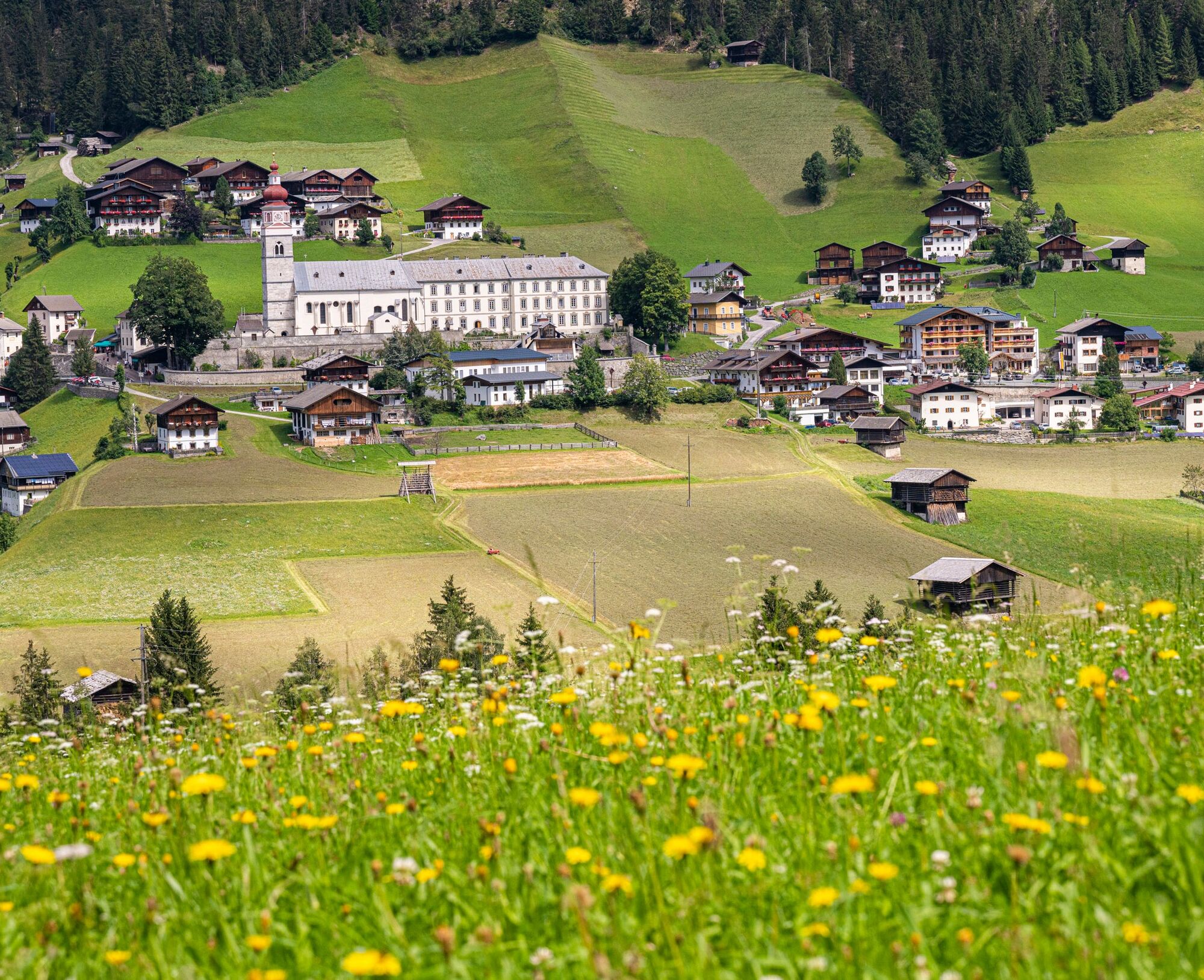
Ideal hike for warming up or also as an evening hike! Starting point is the same as for route no. 28, heading towards Ebnertal. After about 1 km you cross the Ebnertal stream via a wooden footbridge and ascend on the opposite side to a well-visible old “Zuhäusl”, where a bench invites you to rest. A short descent follows, which requires caution for a few meters as it partly leads over wet, slippery stones. Shortly afterward, you reach a forest trail that leads to Moos, with a wonderful view of the village center of Maria Luggau and the pilgrimage basilica. From Moos, you walk down the paved road to the Gail river and after a short ascent reach the starting point again.
Attention: Please inquire about the current trail and weather conditions before each route!
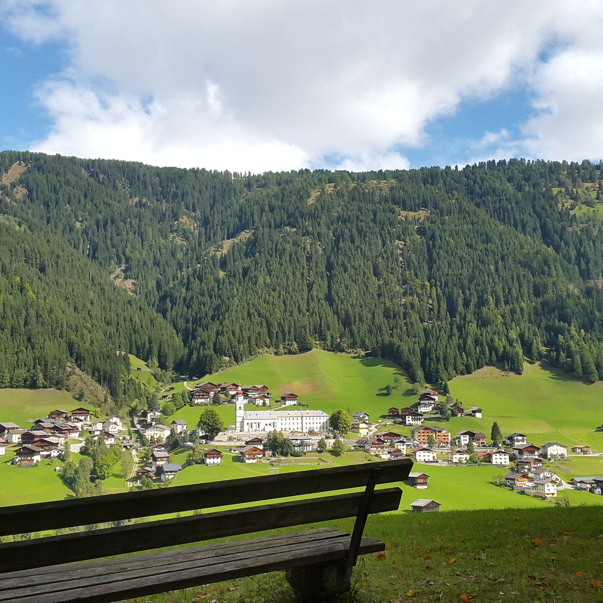
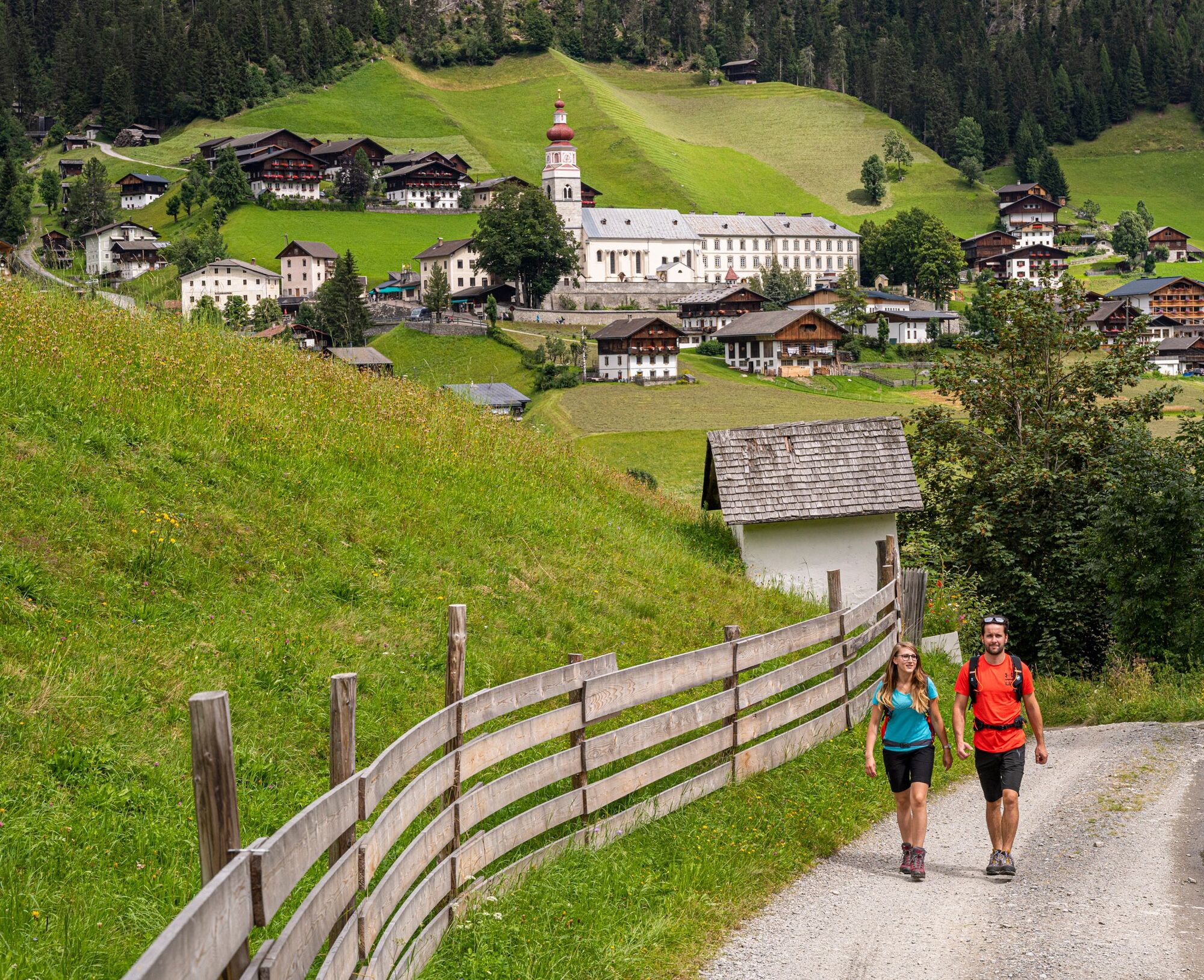
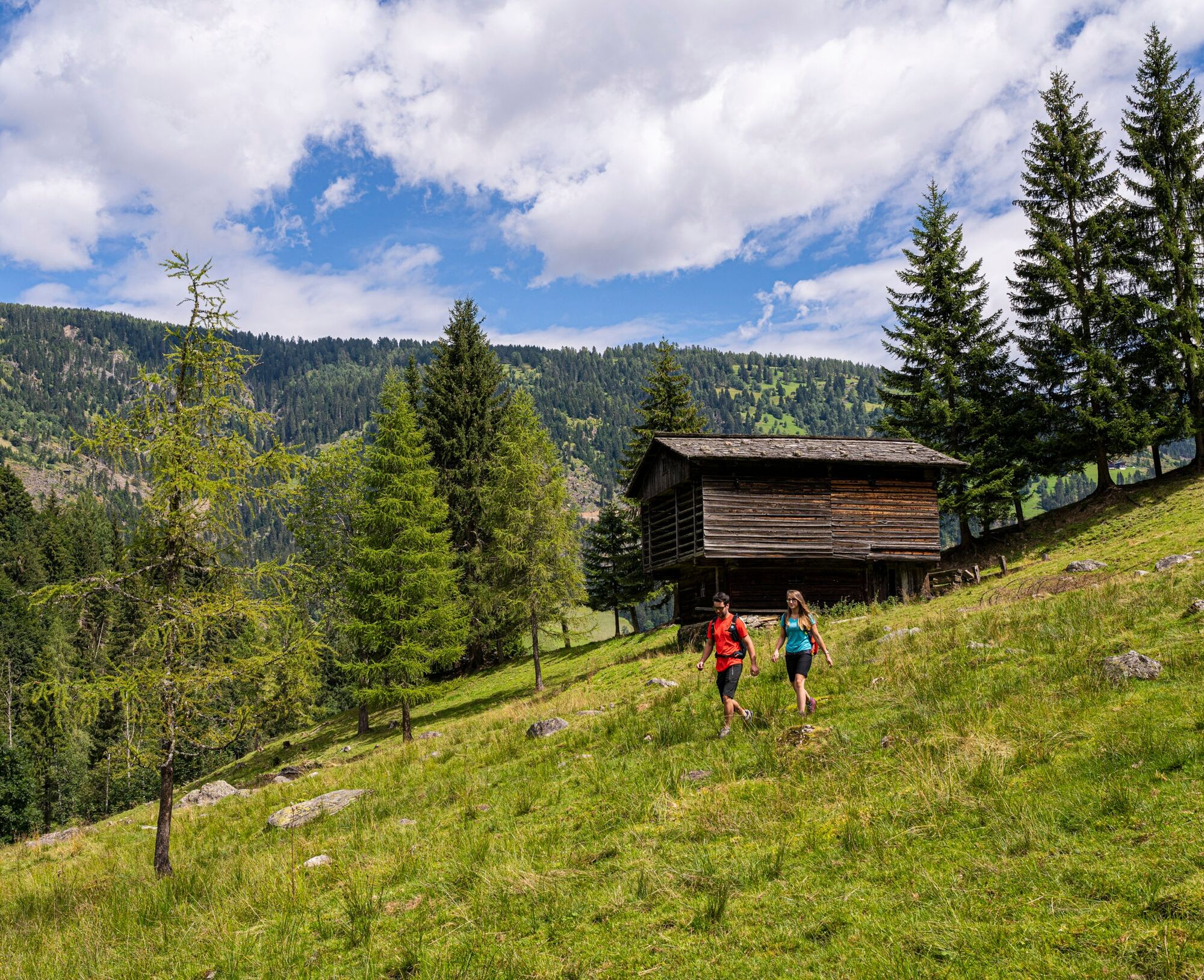
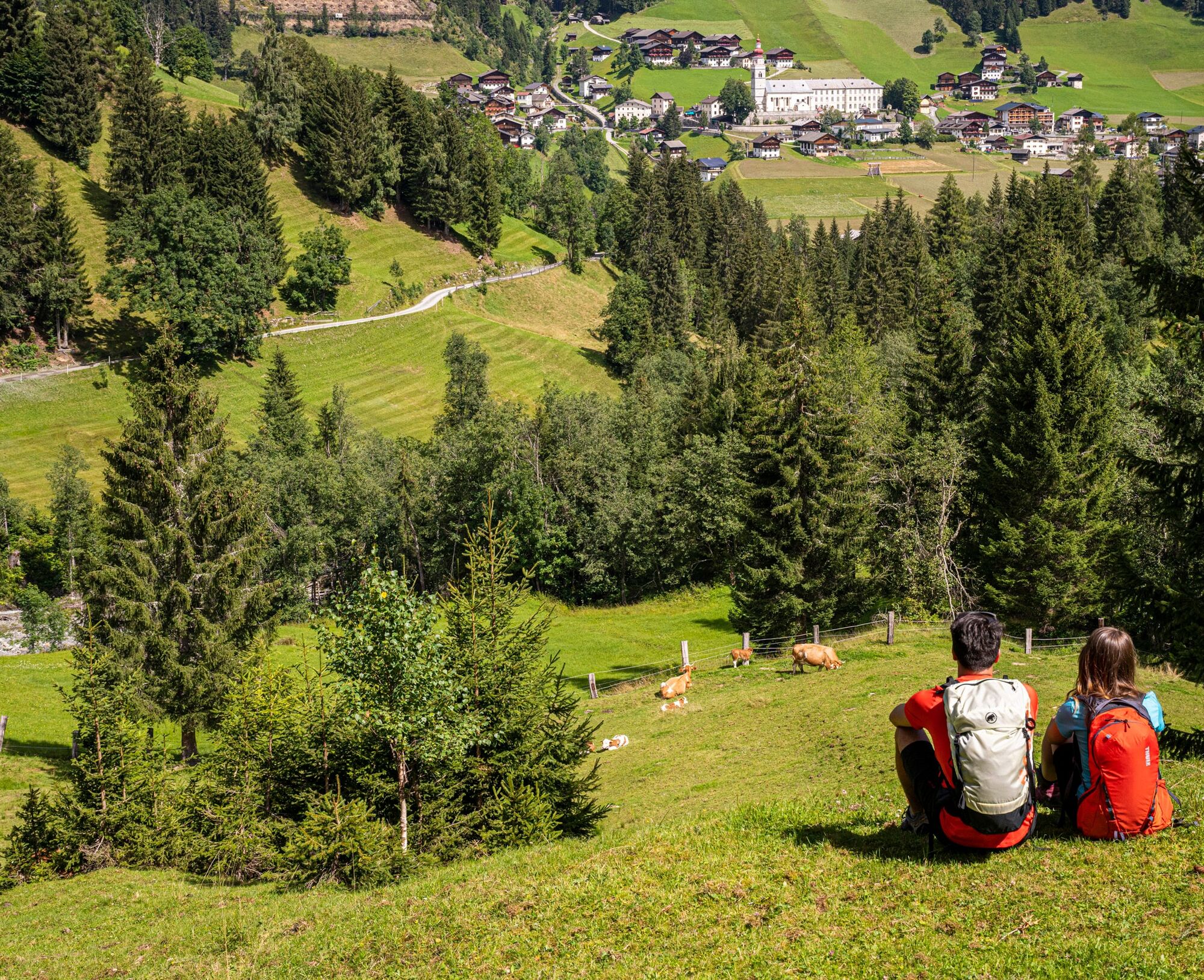
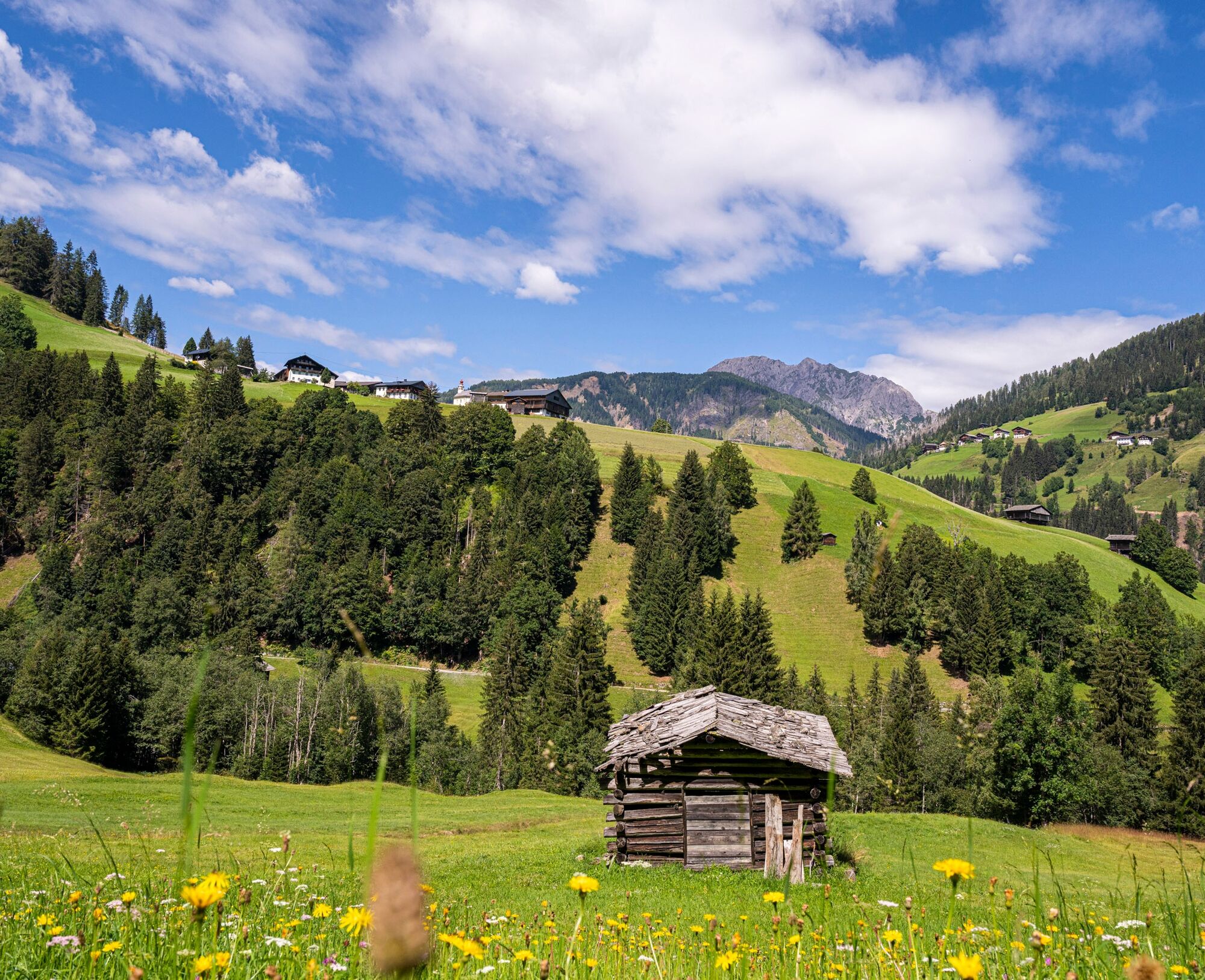
Da
Good footwear, drinking fluid
Check the current trail situation or possible trail closures before the route.
From Sillian (Tassenbach) or Kötschach-Mauthen into the Lesachtal valley to Maria Luggau
By bus to Maria Luggau
Maria Luggau village center (old primary school)
Priljubljeni izleti v okolici
- 4,7
Karlsbader Hütte über Rudl-Eller-Weg
težkoPohodništvo 5,10 km - 4,5
Karnischer Höhenweg – Etappe 4: Hochweißsteinhaus – Wolayersee Hütte
težkoPohodništvo v daljavo 15,9 km - 4,8
Lienzer Dolomiten-Lasertörl
srednjaPohodništvo 13,2 km - 4,7
Obergail - Obergailer Alm - Obergailer Lake - Enderberg hut - Source for Health & Peace - Madonna circular hiking route - Obergail
srednjaPohodništvo 11,4 km - 3,9
Karlsbader Hütte - Lienzer Dolomiten
Pohodništvo 8 km - 5,0
Porzehütte (1.942 m)
svetlobaPohodništvo 9,01 km - 4,3
Mountain bike route from the Hubertus Chapel to the Wolayersee
težkoMountainbike 9,06 km - 3,9
Summit hike to the Hochstadel
srednjaPohodništvo 7,83 km - 5,0
Carnic altitude trail. Stage 4: Porzehütte – Hochweißsteinhaus
težkoPohodništvo 17,5 km - 4,2
Connyalm (2.070 m)
Pohodništvo 6,36 km
Pohodništvo in sledenje


Ne zamudite ponudb in navdiha za naslednje počitnice
Vaš e-poštni naslov je bil dodan na poštni seznam.