







Church panorama hike KW2 Straßburg

The church panorama hike KW2 near Straßburg in Carinthia is a picturesque route through the idyllic landscape of the region. The starting point is Straßburg, a historic place with a rich cultural history.
The...
The church panorama hike KW2 near Straßburg in Carinthia is a picturesque route through the idyllic landscape of the region. The starting point is Straßburg, a historic place with a rich cultural history.
The well-marked hiking trail first leads through the charming town center of Straßburg, past historic buildings and picturesque squares. The path then leads out into the surrounding nature, through gentle hills and along fields and meadows.
Along the route, there are always magnificent views of the surrounding mountains and valleys. A highlight of the hike is the visit to several historic churches, including possibly the parish church of Straßburg or other historic sacred buildings in the area.
Sturdy footwear and weather-appropriate clothing are recommended.

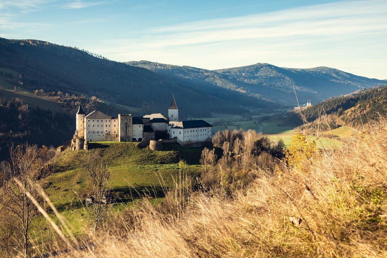
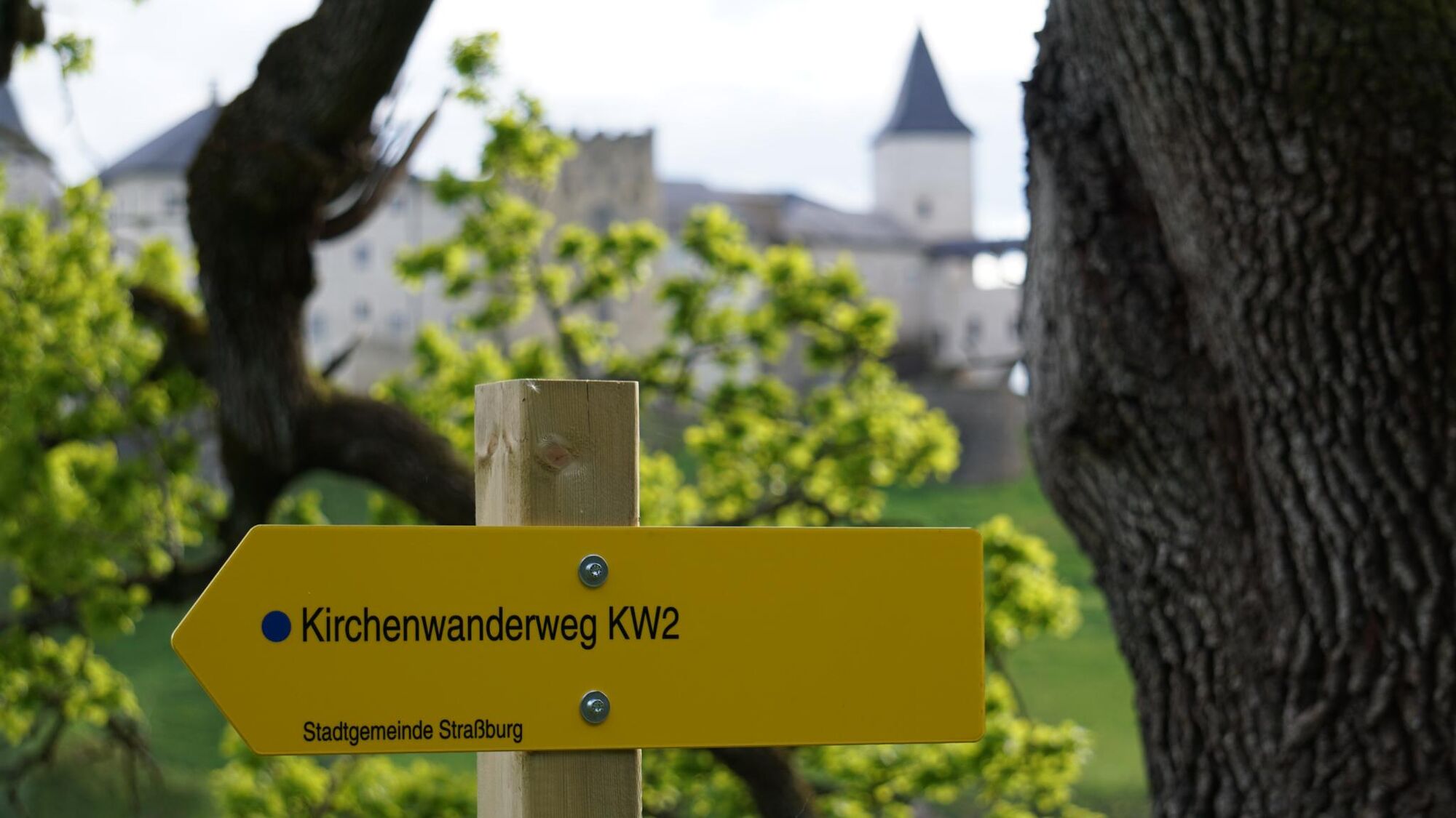
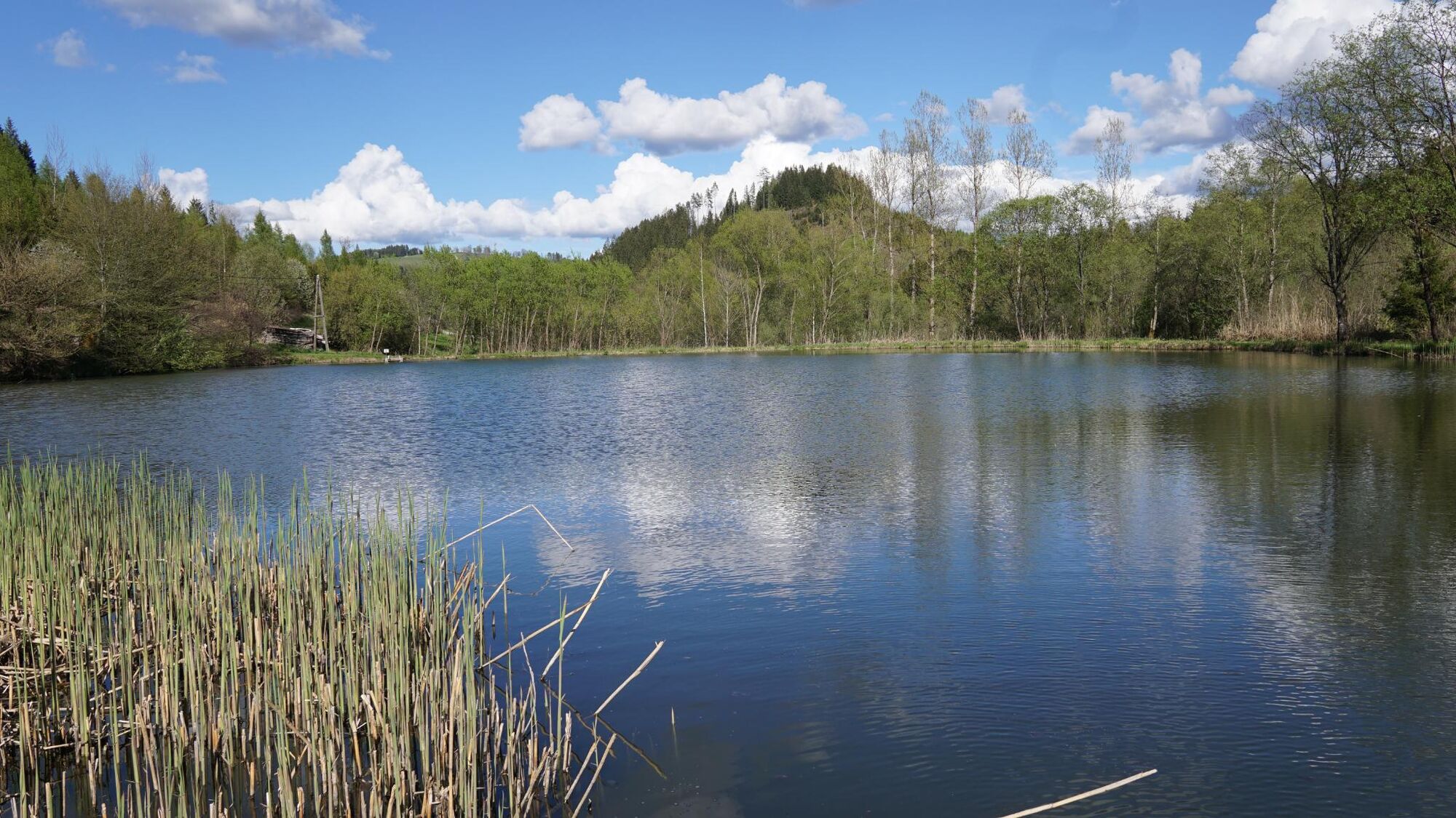
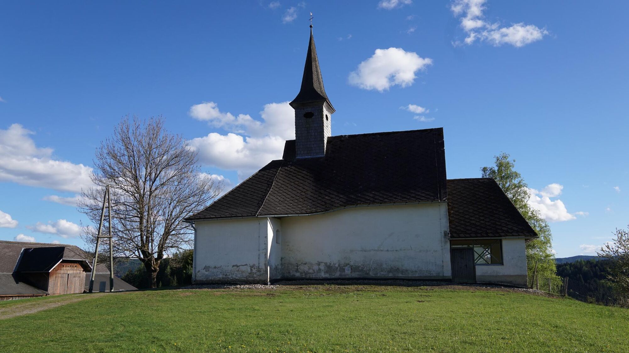
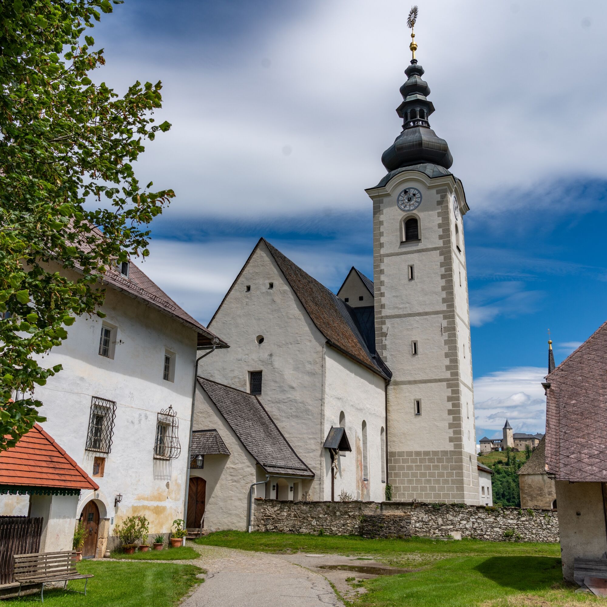
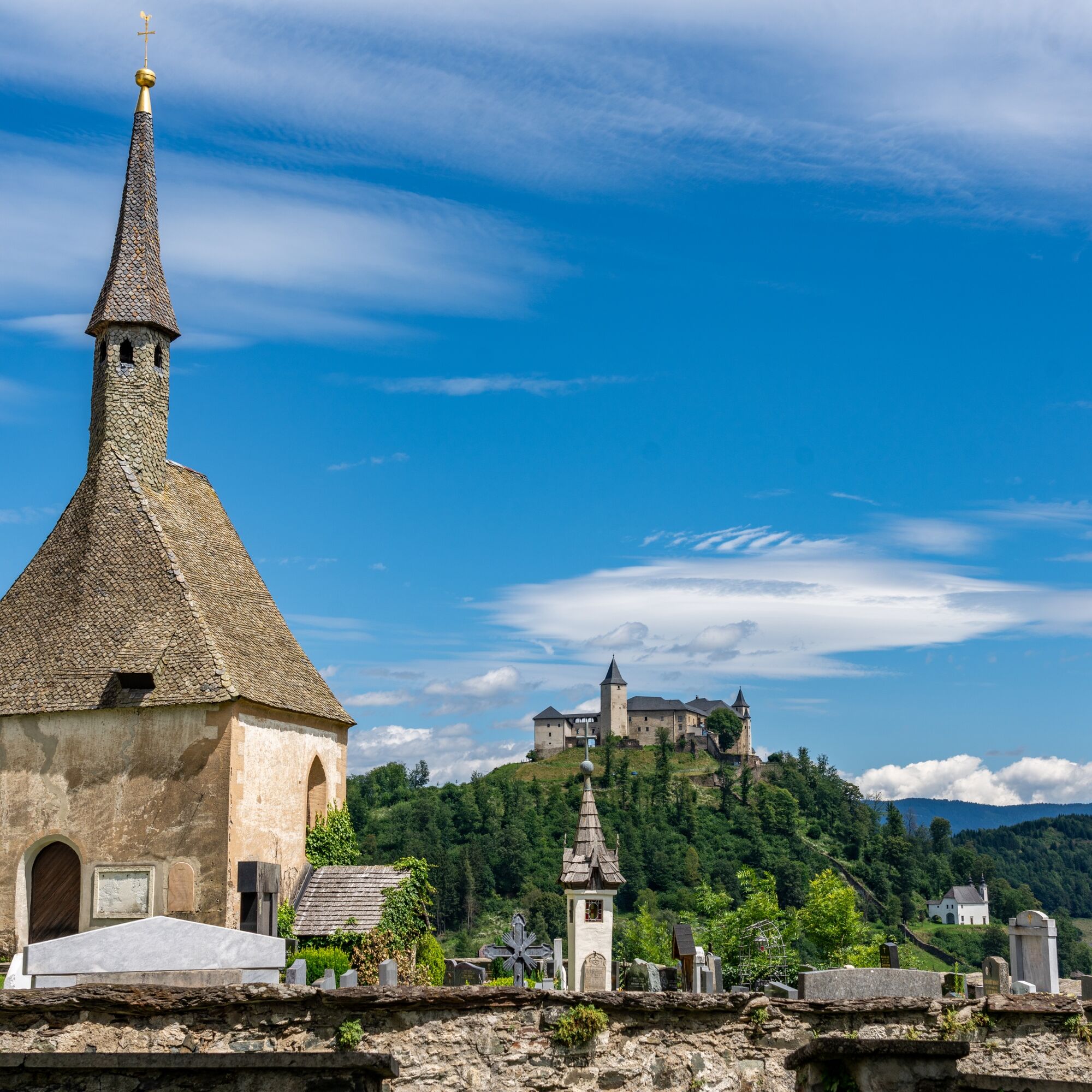
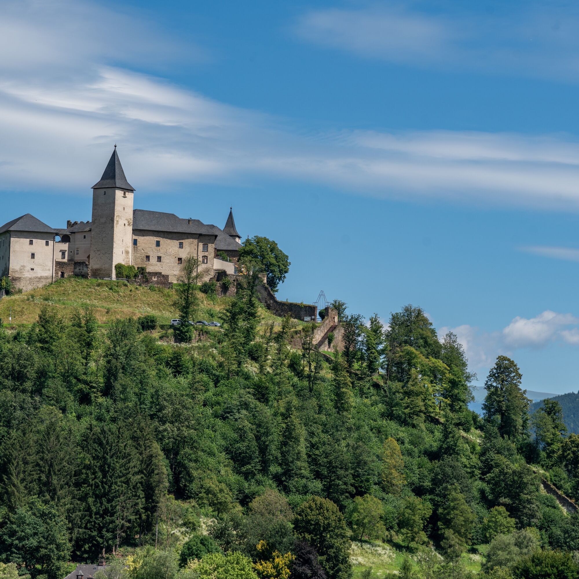

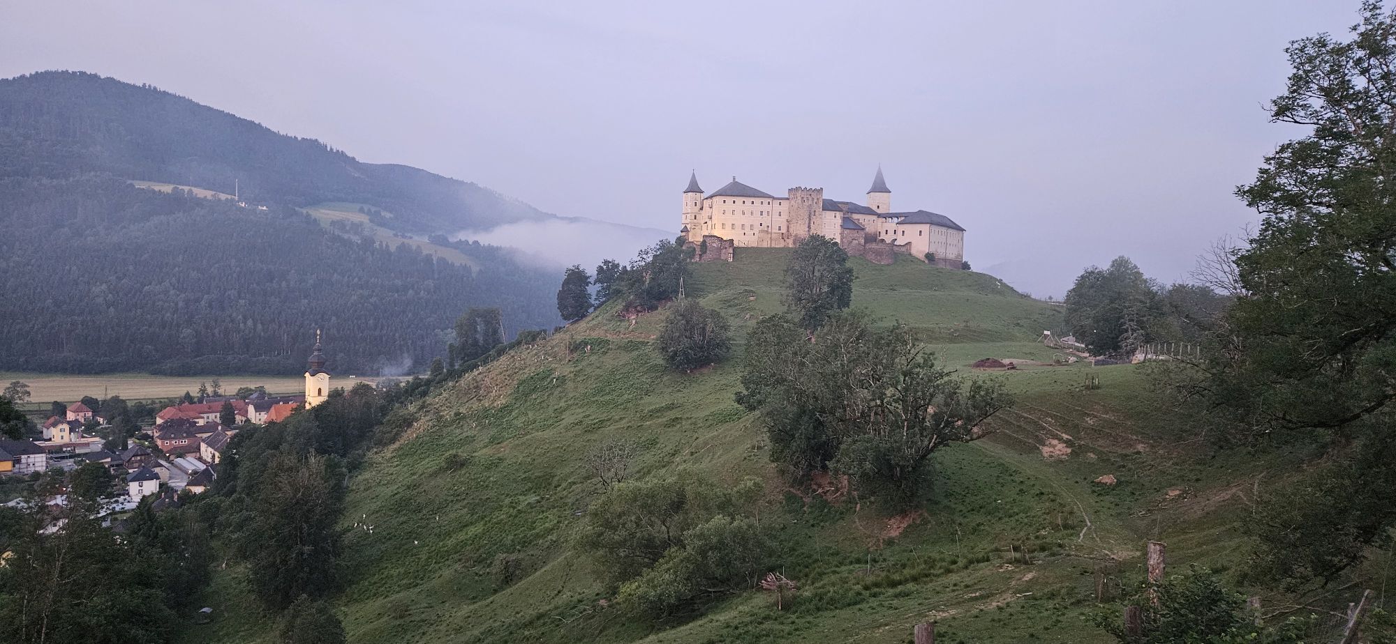
We start our circular hike at the main square in Straßburg. Here also stands the stately parish church of St. Nikolai, for which we should take more time at the end of our hike. We follow the old castle path and reach the Maria Loreto Chapel, a sacred building built in 1315, after a few minutes. From here, there is a more direct route via the Poor Sinner’s Staircase to climb to the castle.
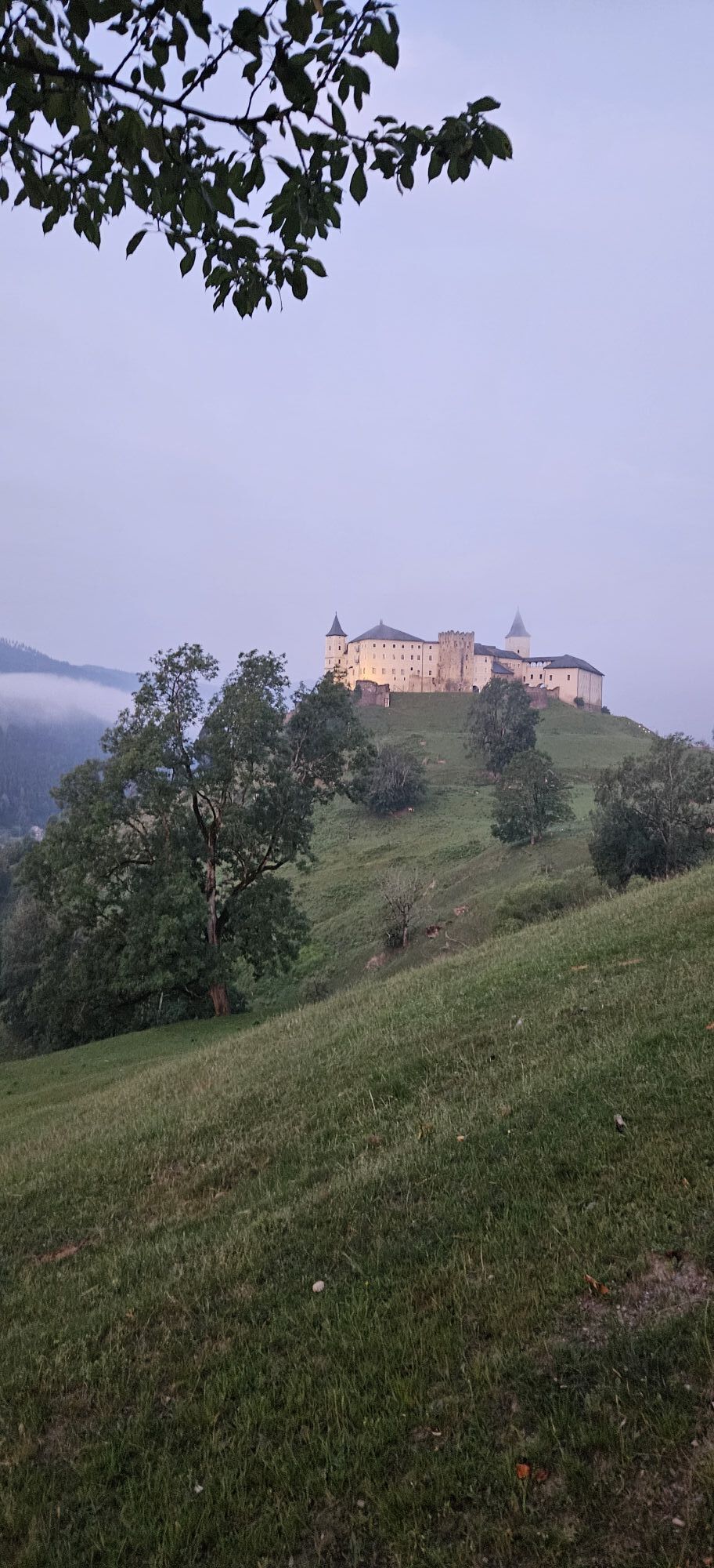
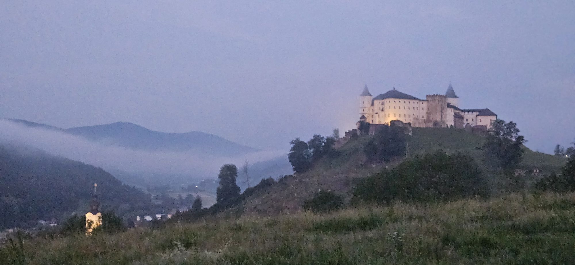
However, we continue following the old castle path until we reach a crossroads. Here we have two options: either we take a short detour up to the castle, or the second, better option, we follow the street to the left towards Teichjäger and save the visit to the castle complex as a cultural and culinary finale. To Teichjäger, it goes down a hollow way until we meet a gravel road that sharply turns left into the Ratschach valley. We first follow this road flat into the valley, later ascending in a few hairpin bends through forest until we reach open farmland at the Werzer farmstead. Here we have a wonderful view of the mountain church of Kraßnitz and the surrounding mountain-farming area. We continue along the road until we meet a gravel road leading from or to the village of Kraßnitz. Heading eastward, we reach the village and the 12th-century church in 10 minutes.
Now we turn north and walk uphill on a gravel road. After two hairpin bends, we come to the turnoff to the Pichlbauer farmstead. We now follow this path to Pichlbauer, past the farmstead, further uphill on the gravel road through the forest until we reach a wayside shrine at the highest point of our hike. From here, a comprehensive view: far to the south, the peaks of the Julian and the Steiner Alps, in front the Karawanks, the forested foothills of the Gurktal Alps, and much more. A few hundred meters away lies the Prieger farmstead. From there, a paved little road leads down to the Gruschitzer Cross on Prekowa Road. Now follow the road for just under 10 minutes to Hausdorf and the church.
From Hausdorf, we go down on an asphalt road to Straßburg or the district of Lieding. Keeping right at the outdoor swimming pool, then uphill to the Lieding church. The church was founded in 975 by Countess Imma (probably grandmother of Saint Hemma) and is therefore one of the oldest parishes in Carinthia.
Now it goes down to the Holy Spirit Church, a sacred building from the 14th century, which we reach in 15 minutes. A short stretch on the main road, then turning into Bahnstraße, crossing the Gurk on a wooden bridge. Passing a firewood storage site on the left, we keep on a path along the forest edge. Crossing Gunzenbergstraße, we follow a forest path until we reach St. Stefan Church. This church was first mentioned in 1208.
In a few minutes, you return on an asphalt path back to the village to our starting point.
Sturdy footwear, rain protection, hiking provisions, and sufficient drinks recommended.
Inform someone where you are going and when you will return
see route planner
Train stations in Treibach-Althofen and Friesach. From there, travel by bus.
Parking at or near the main square
Yellow trail markers and red-yellow color markings show the way.
Save the visit to the castle complex as a cultural and culinary finale.

Priljubljeni izleti v okolici
-
4.6
Höhenweg Scharfes Eck
srednjaPohodništvo 6.18 km -
4.5
Castle Hiking Trail Friesach
svetlobaPohodništvo 5.21 km -
5.0
Kuhalm
srednjaPohodništvo 16.8 km -
4.9
Gragger Schlucht und Jakobi Kirche,Sankt Marein bei Neumarkt
svetlobaPohodništvo 12.8 km -
4.8
Grebenzen Runde
srednjaPohodništvo 13.7 km -
4.7
Höhenweg Scharfes-Eck vom Grebenzenhaus
srednjaPohodništvo 10.6 km -
4.7
Schitour Grebenzen
srednjaSmučarska tura 8.66 km -
4.6
Althofen: Kratek sprehod z razgledom
srednjaPohodništvo 9.66 km -
4.2
Auerling Bachweg
svetlobaPohodništvo 11.5 km -
3.7
Panoramska pot Althofen (2)
svetlobaPohodništvo 11.7 km
Pohodništvo in sledenje


Ne zamudite ponudb in navdiha za naslednje počitnice
Vaš e-poštni naslov je bil dodan na poštni seznam.





