







From the plateau to the Alm - 3 huts route


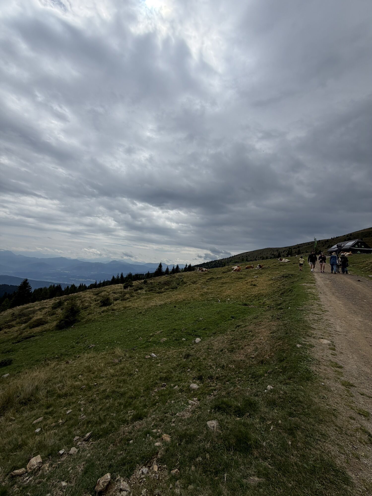
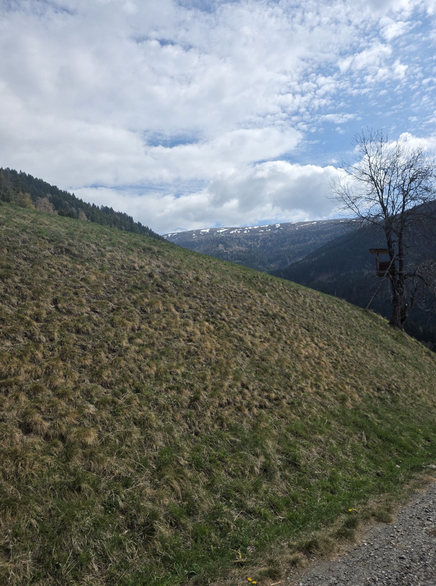
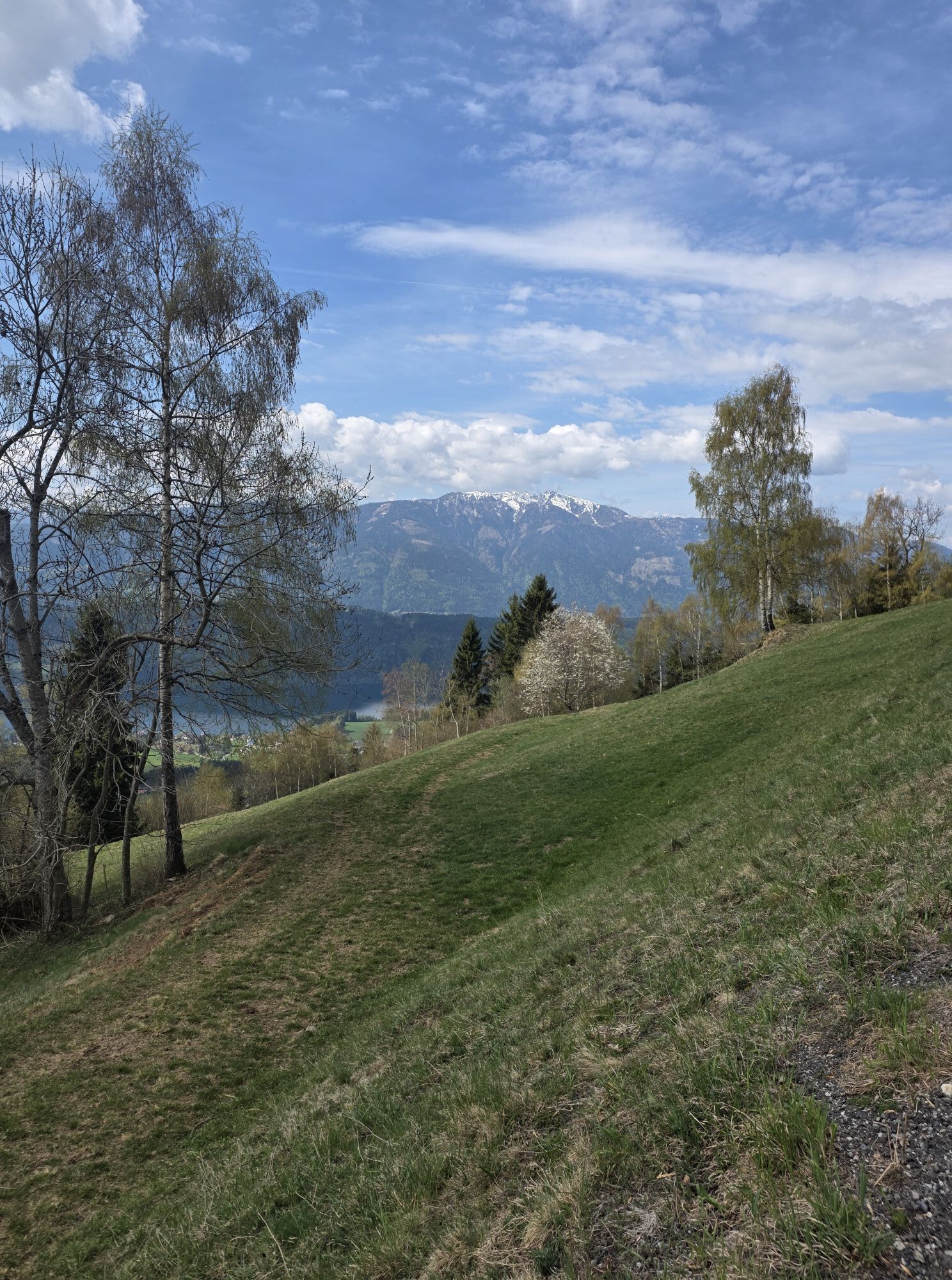
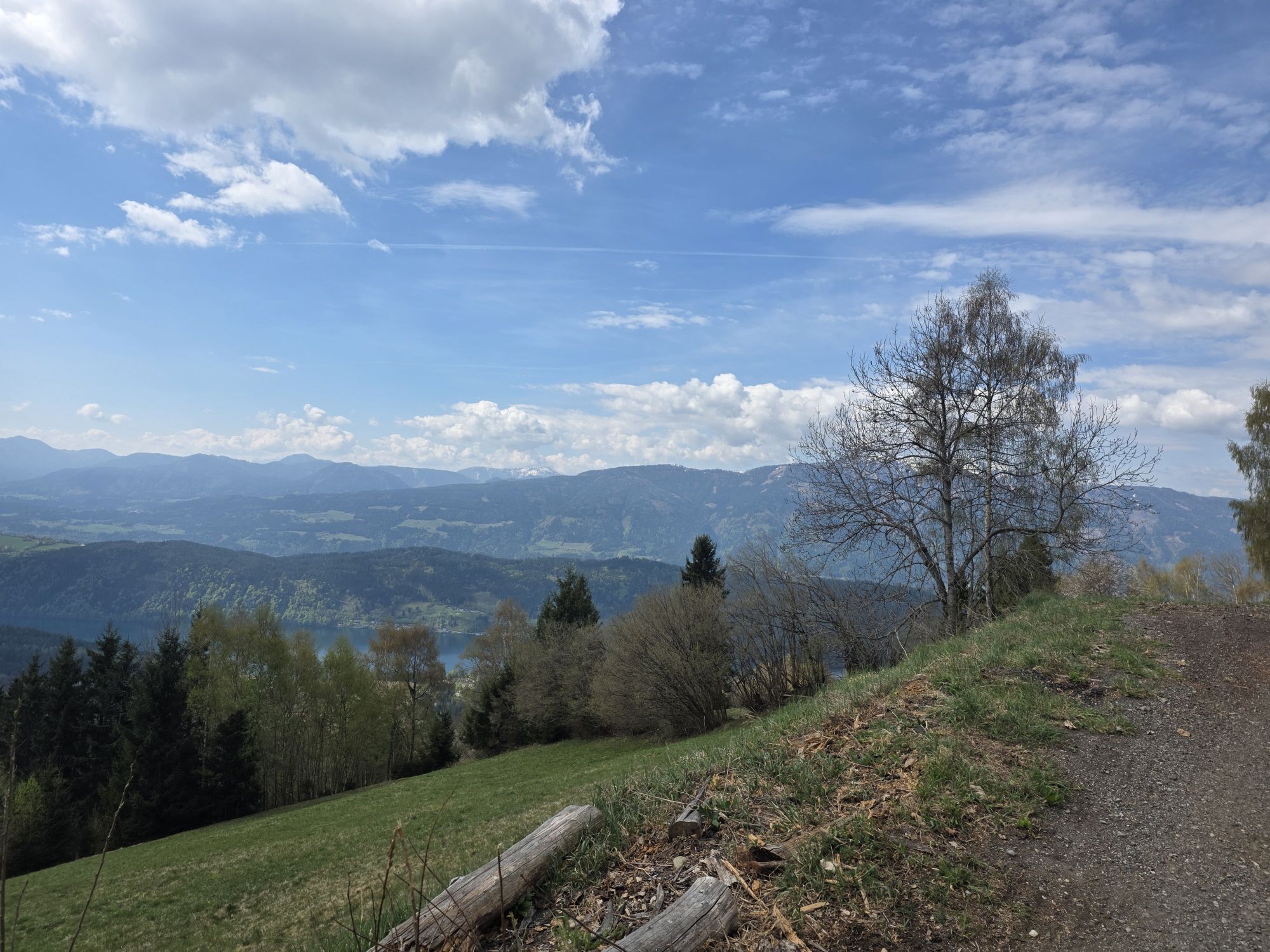
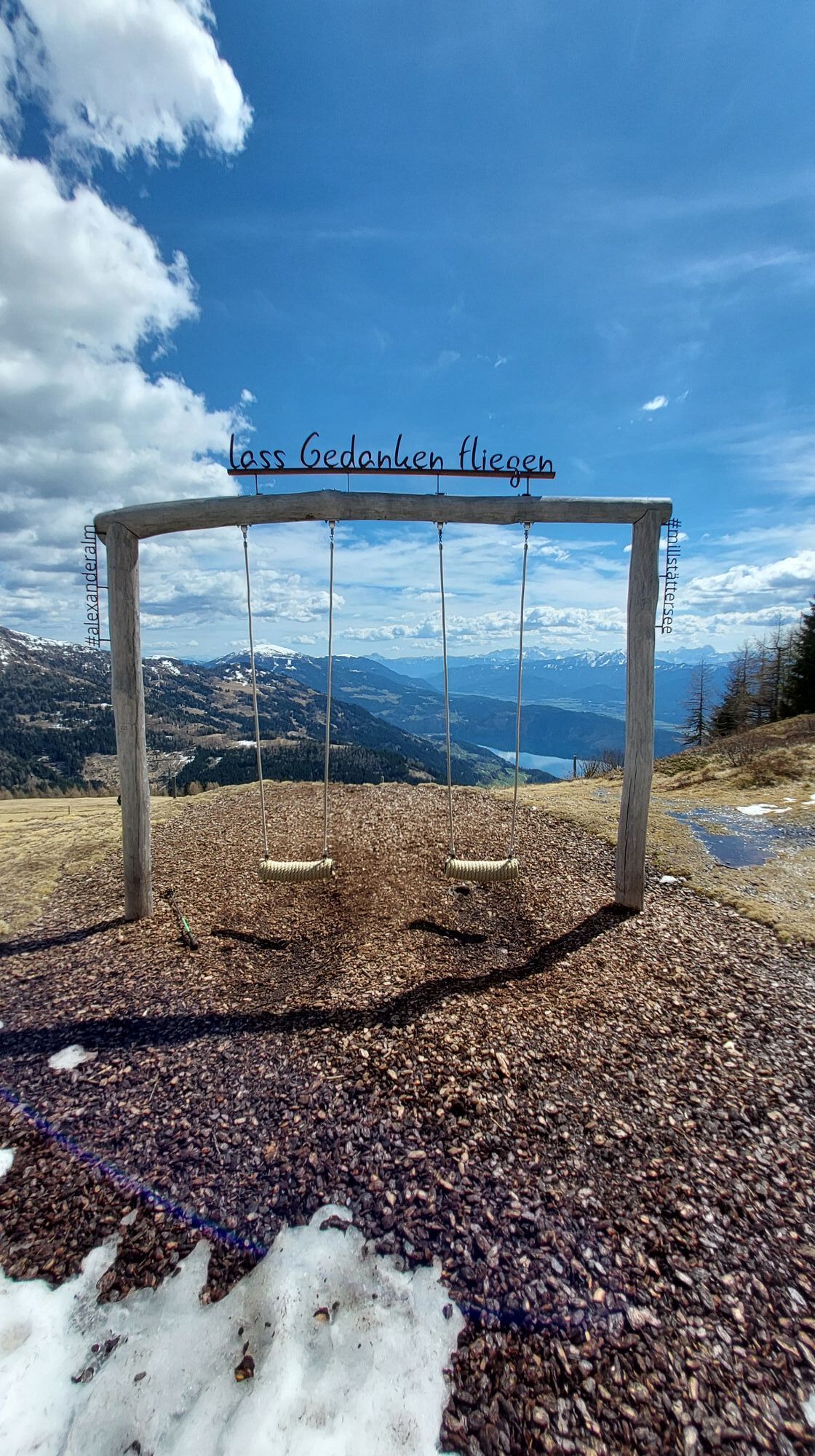
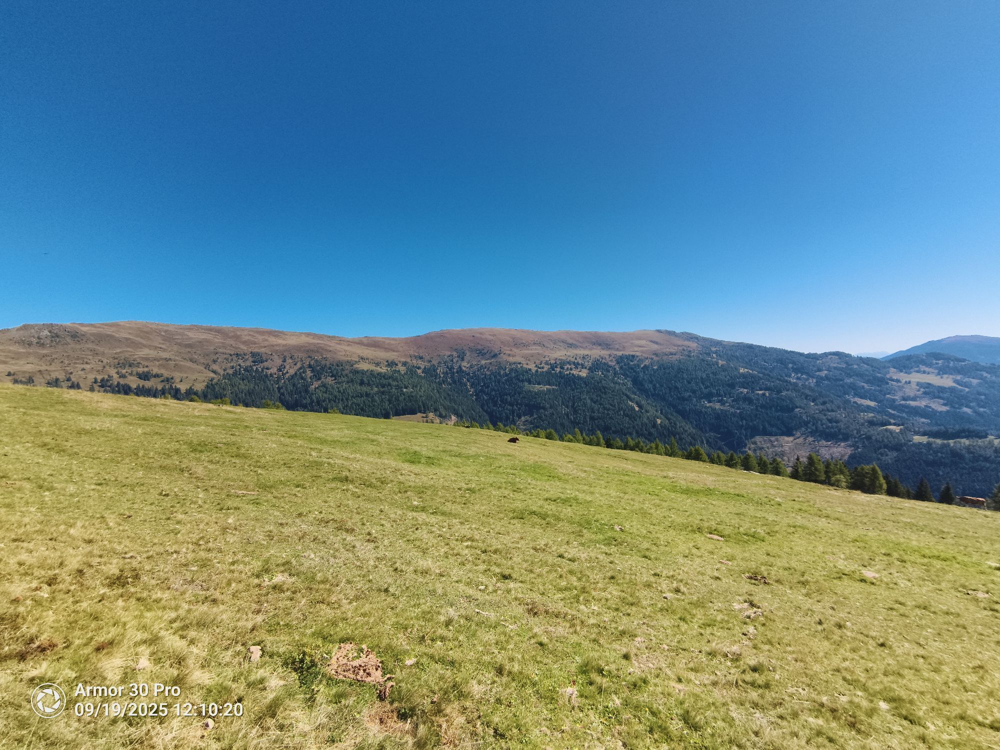
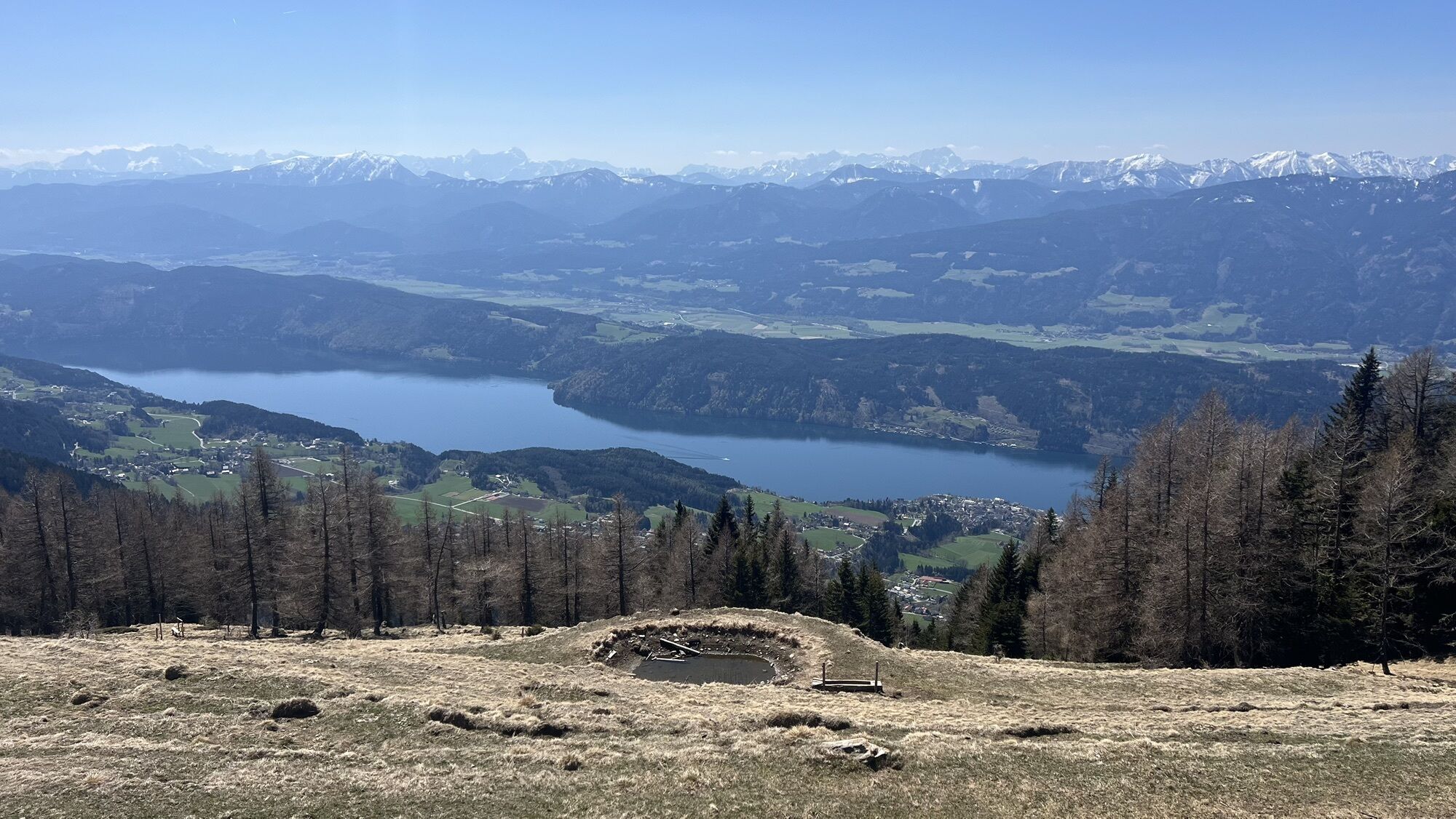


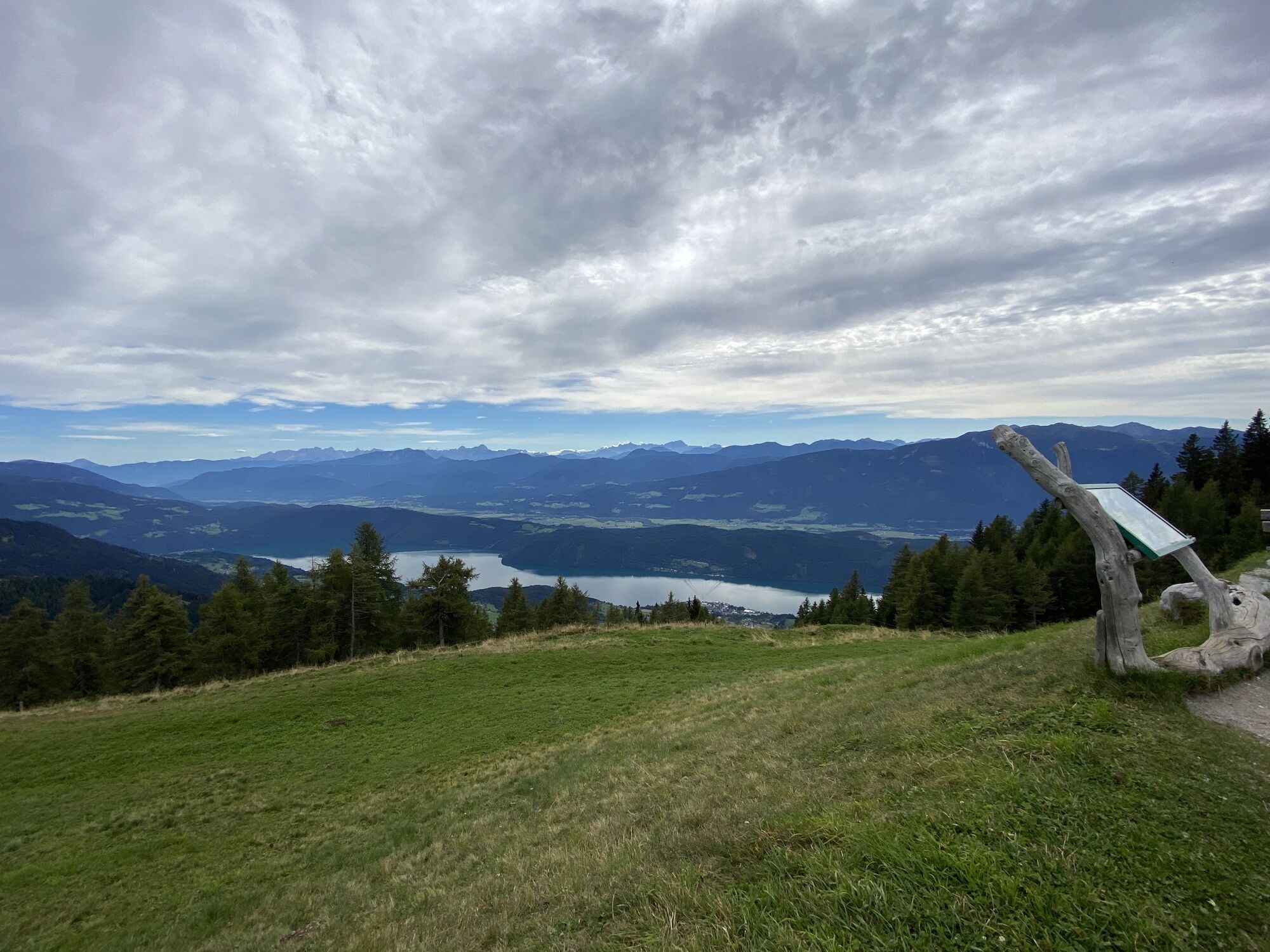

ATTENTION: On the return route over the Tschierweger Alm (trail number 194), due to livestock with strong maternal instinct (mother cows protect their calves), a BAN applies to carrying DOGS.
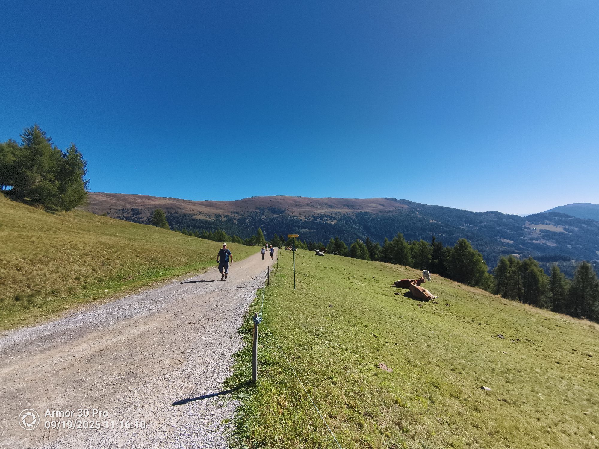
ATTENTION: On the return route over the Tschierweger Alm (trail number 194), due to livestock with strong maternal instinct (mother cows protect their calves), a BAN applies to carrying DOGS.

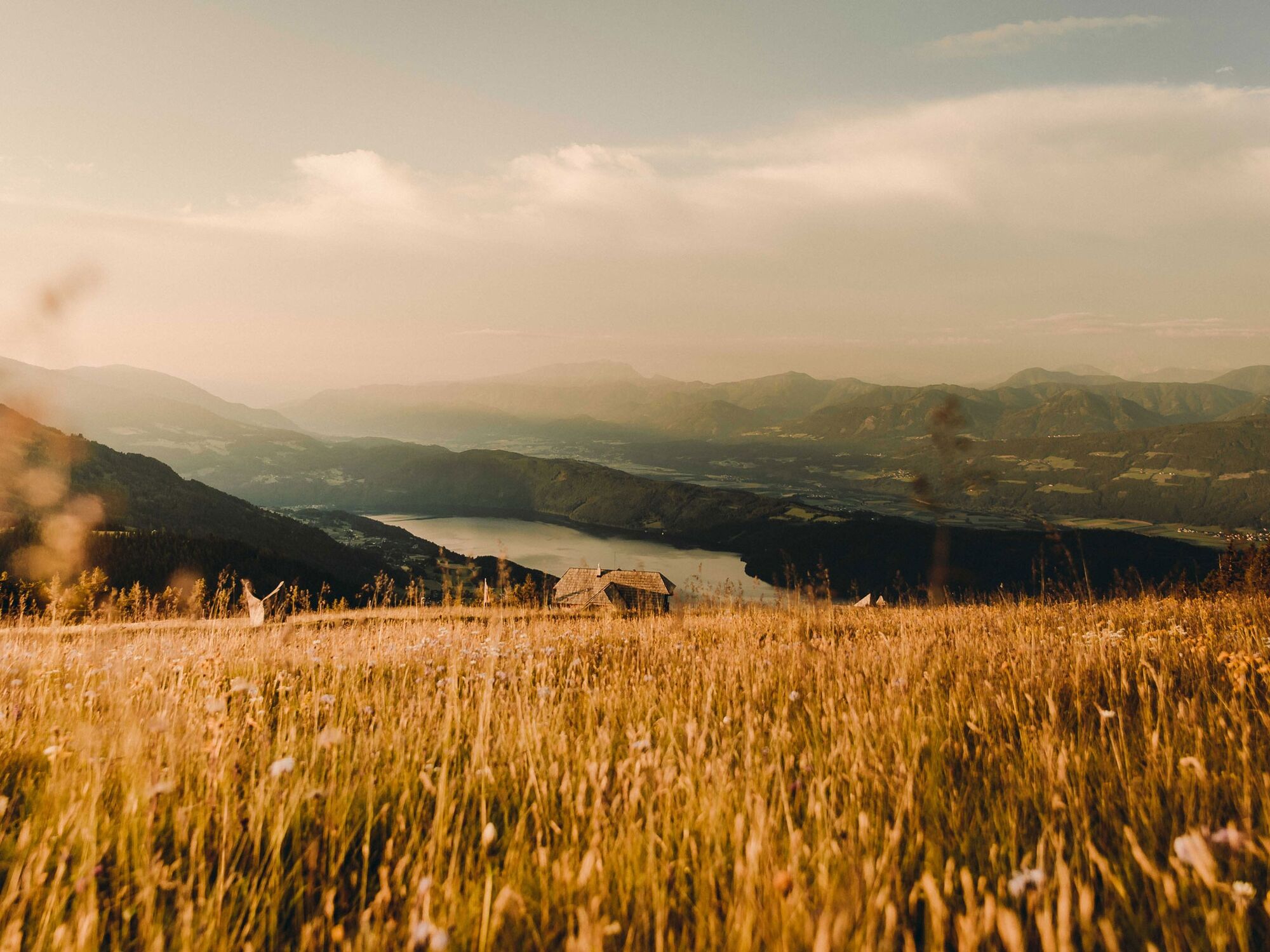
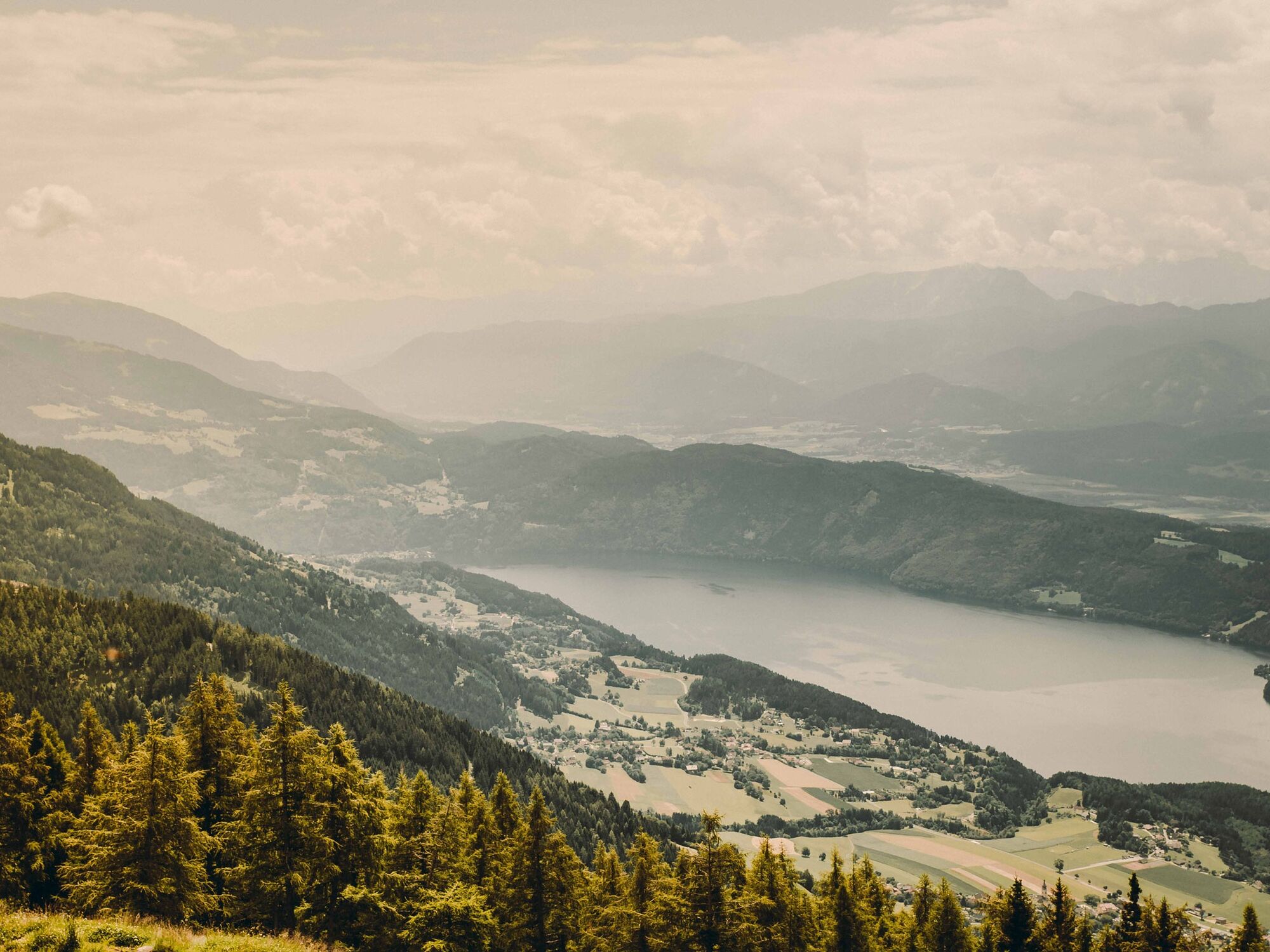
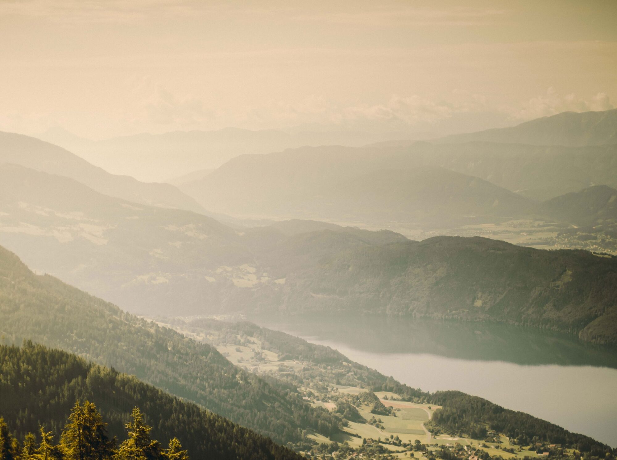
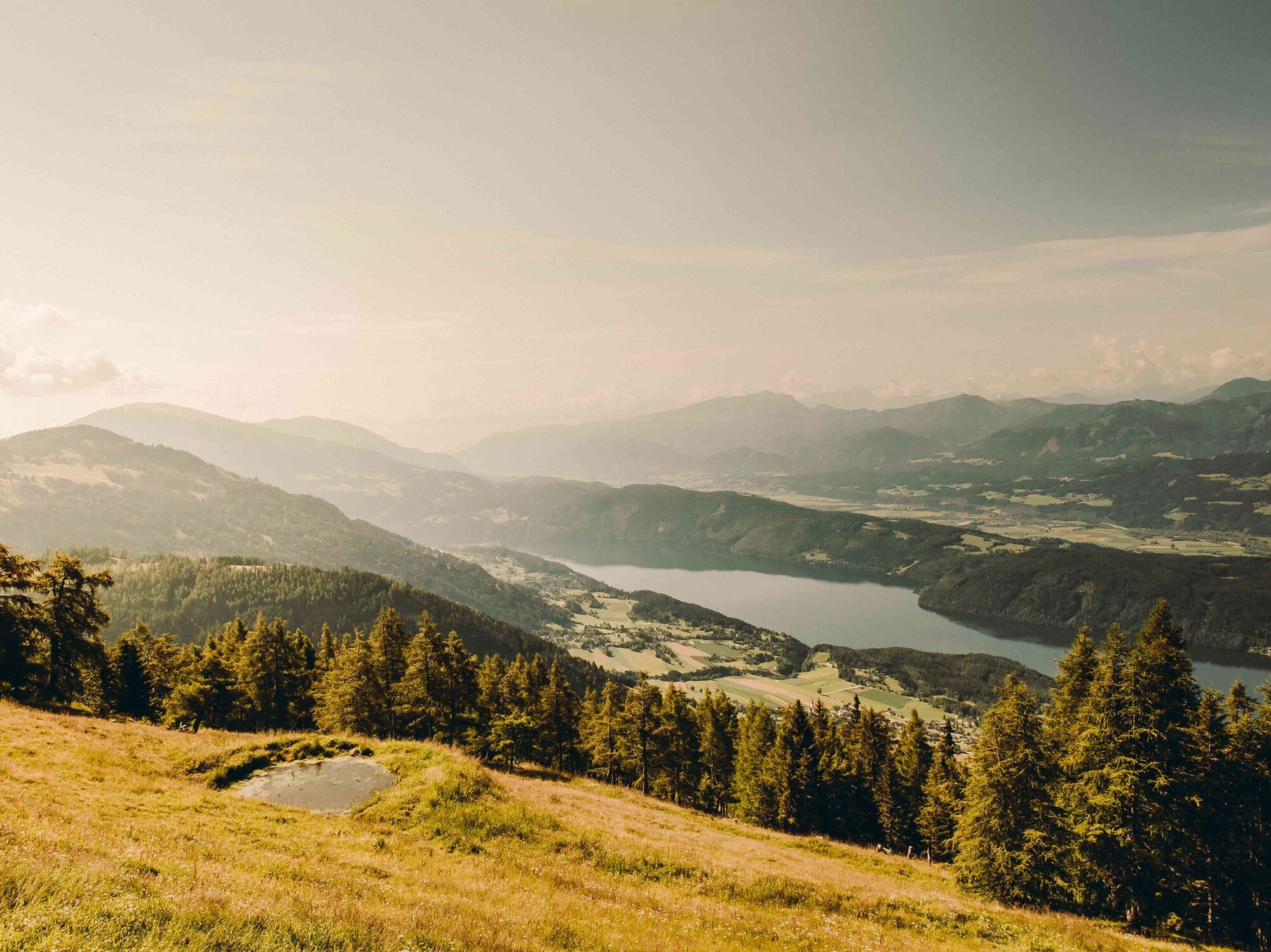
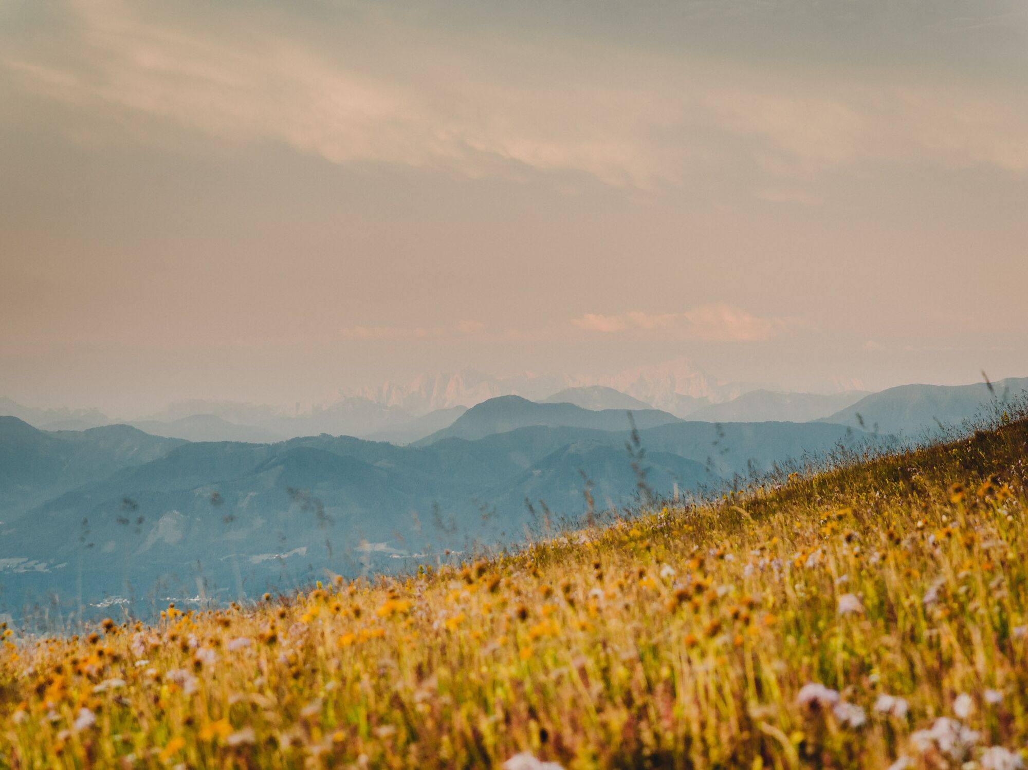

ATTENTION: From August 19, 2024, the Panorama route over the Tschierweger Alm with trail number 194 is closed due to logging work! The outbound and return routes of this route therefore both follow the gorge path (see current route).
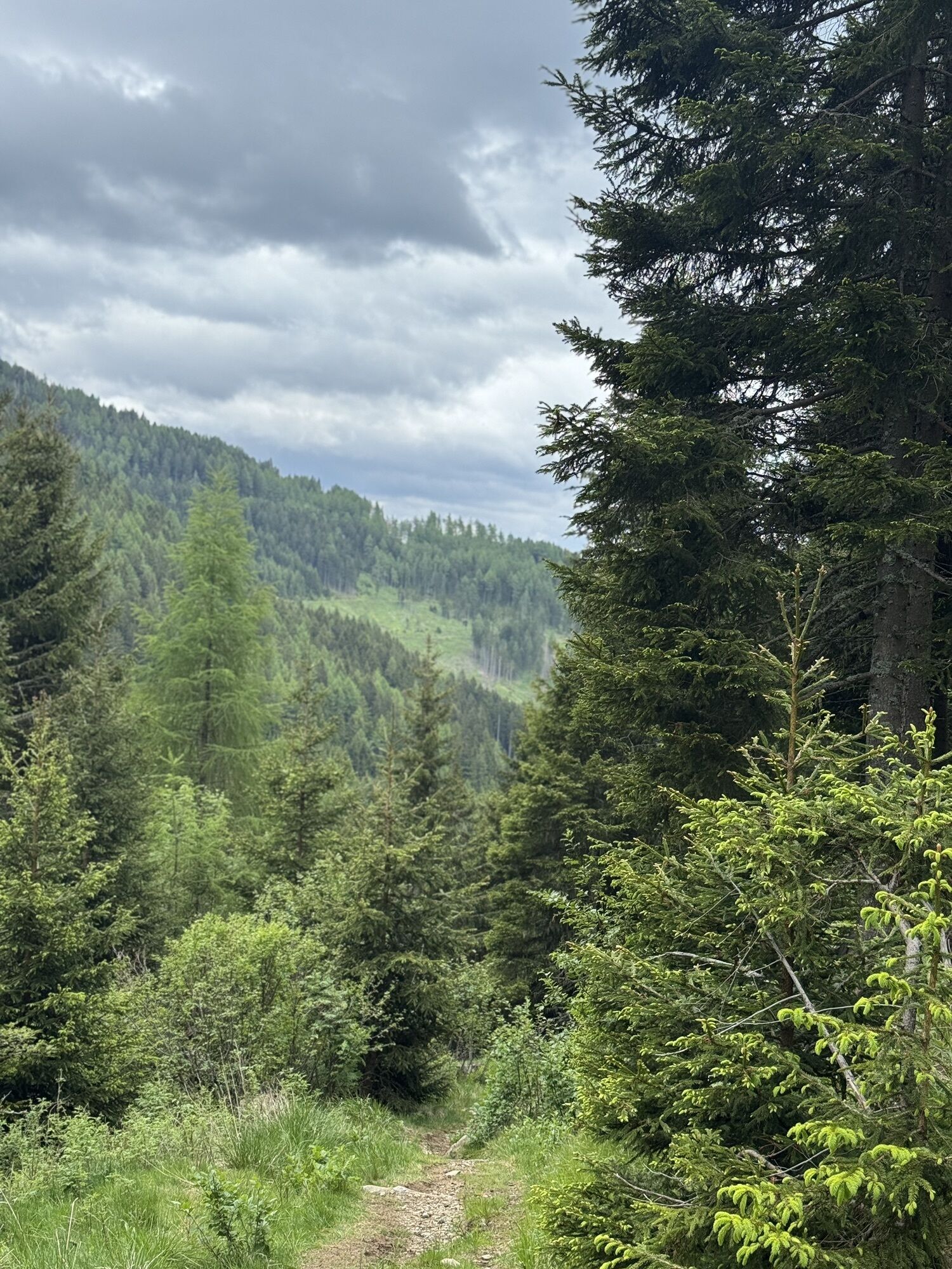
From the roadside parking spot, follow the paved road about 300 meters to the curve before the toll station. From here, follow the hiking trail signs leading into the Millstätter Gorge. In the gorge, surefootedness is sometimes required and slip-resistant hiking boots due to moisture.
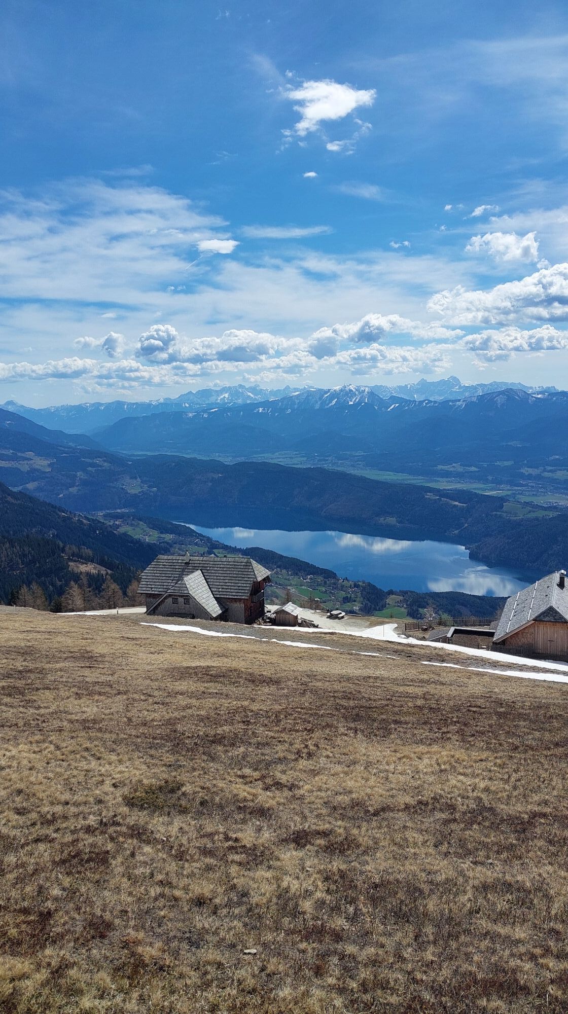
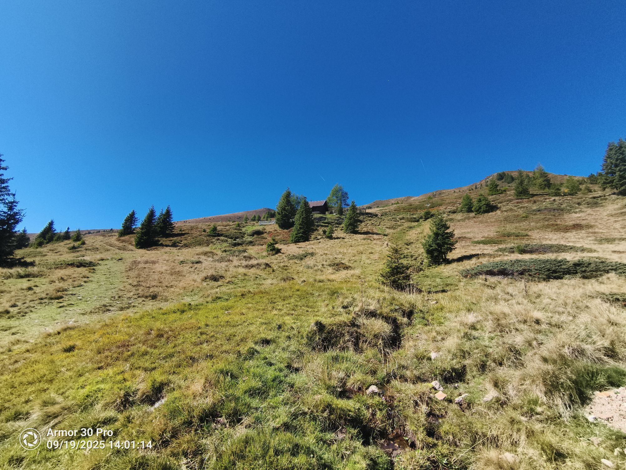
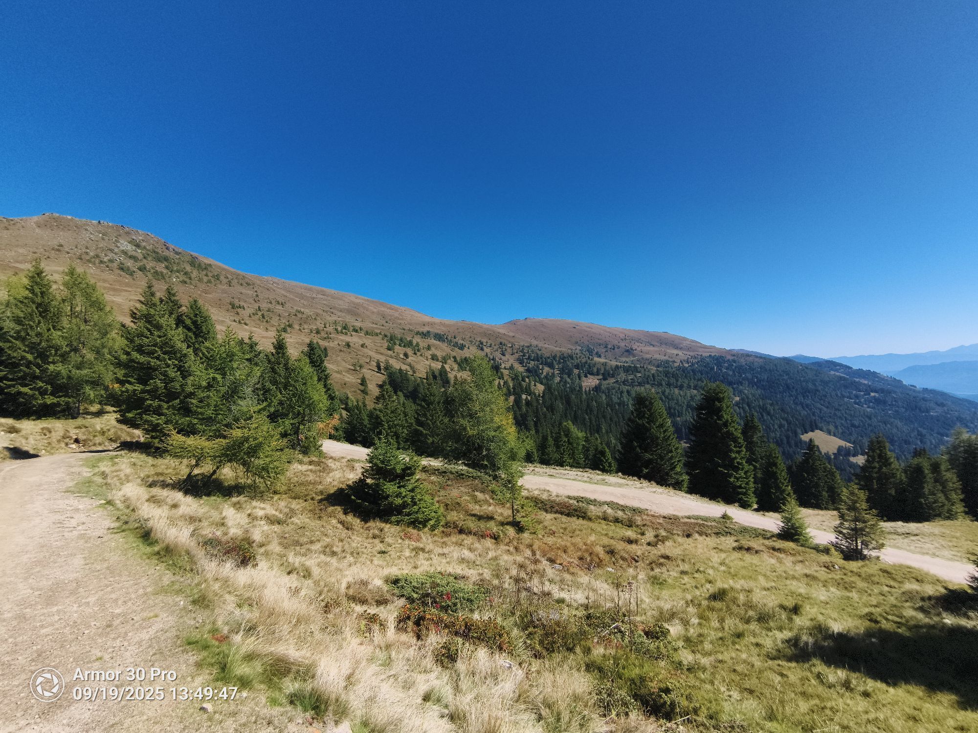
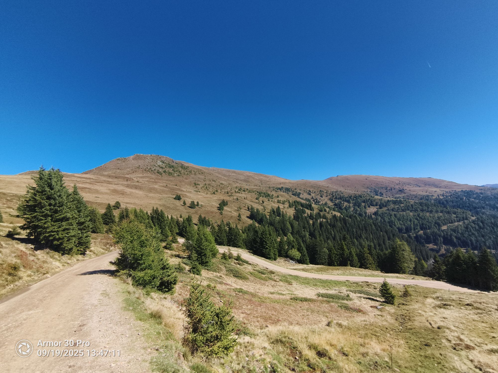
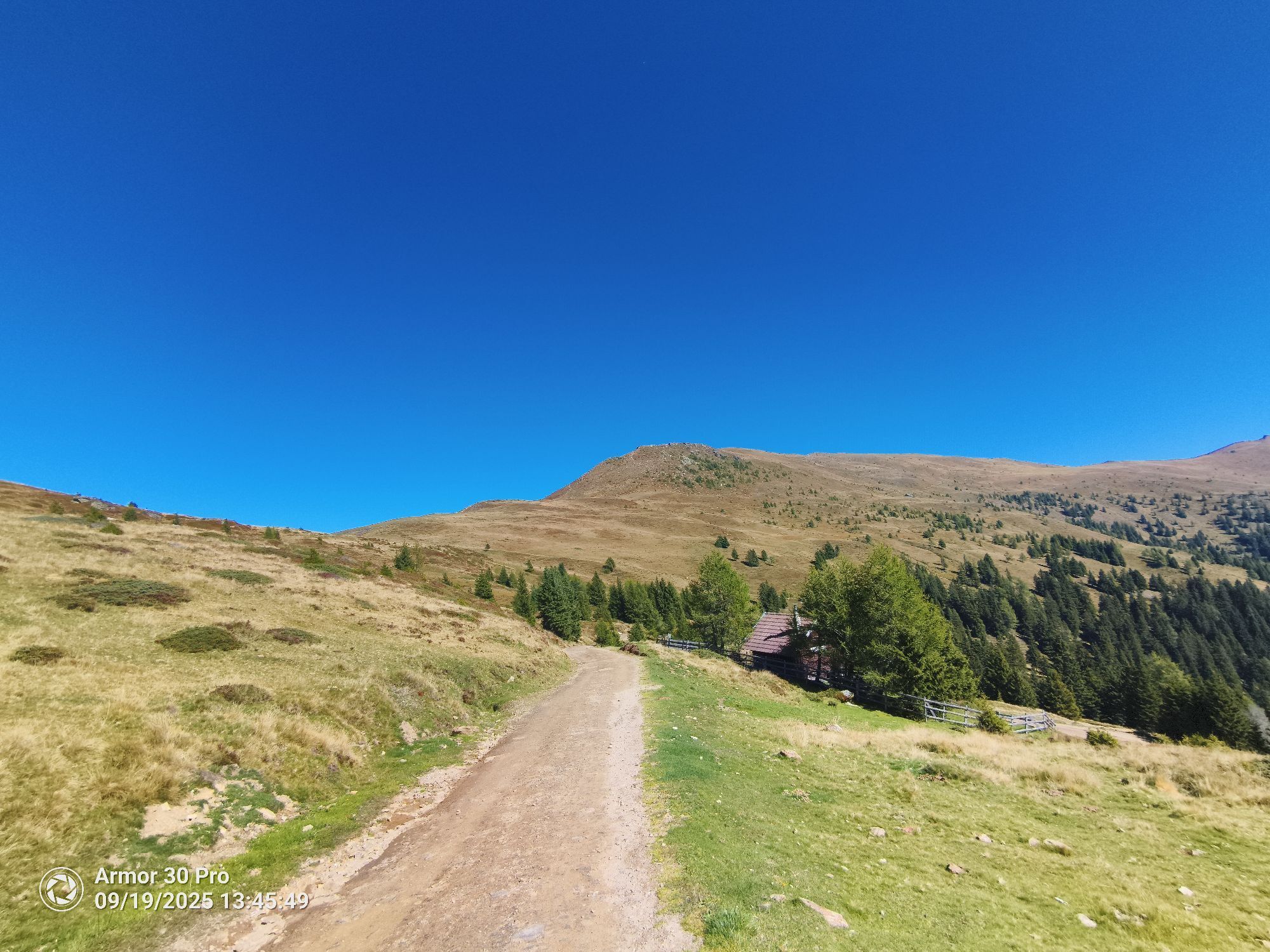
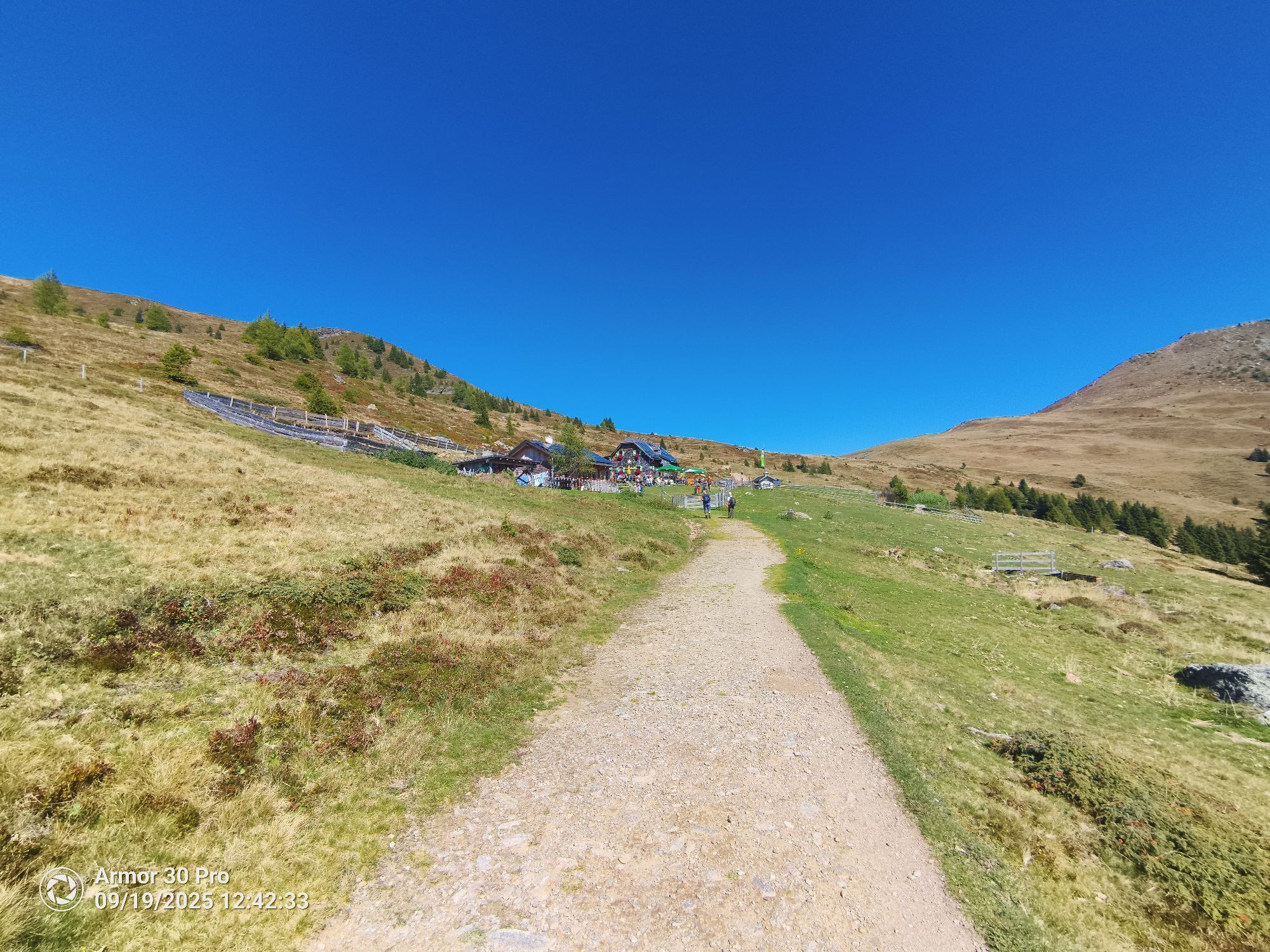
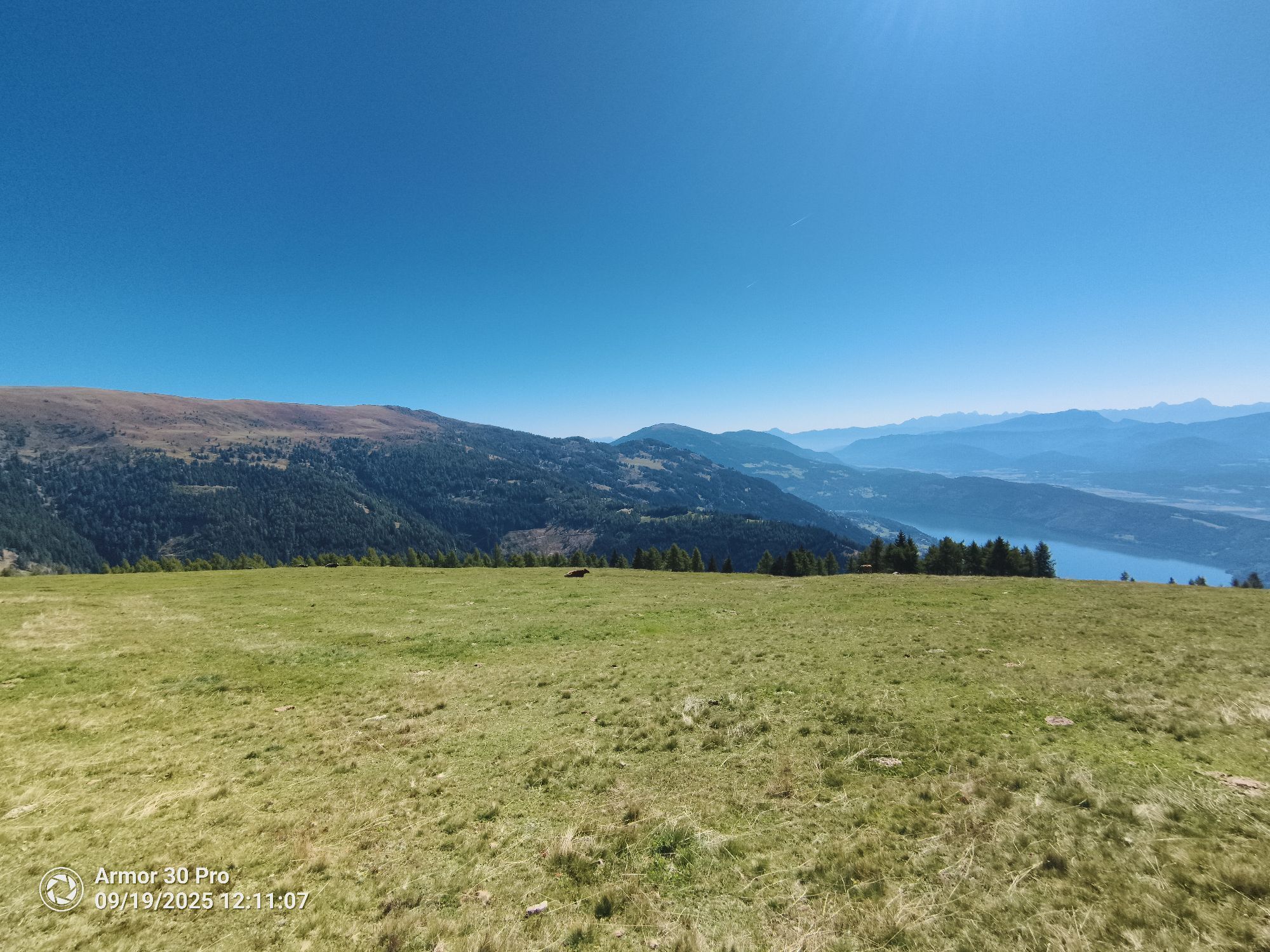
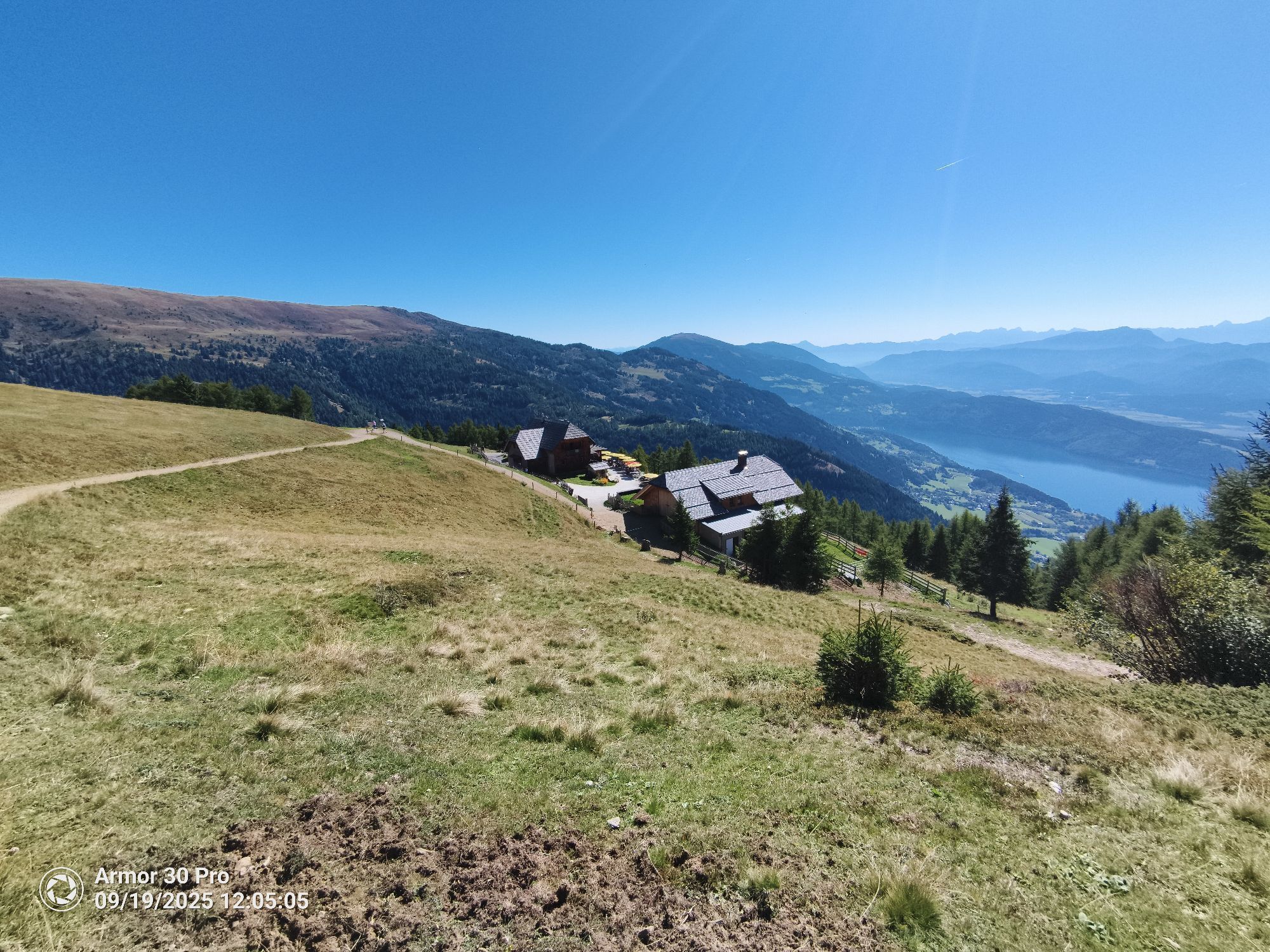
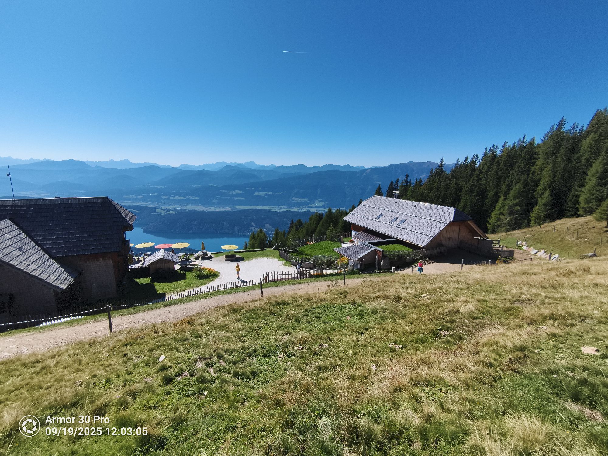
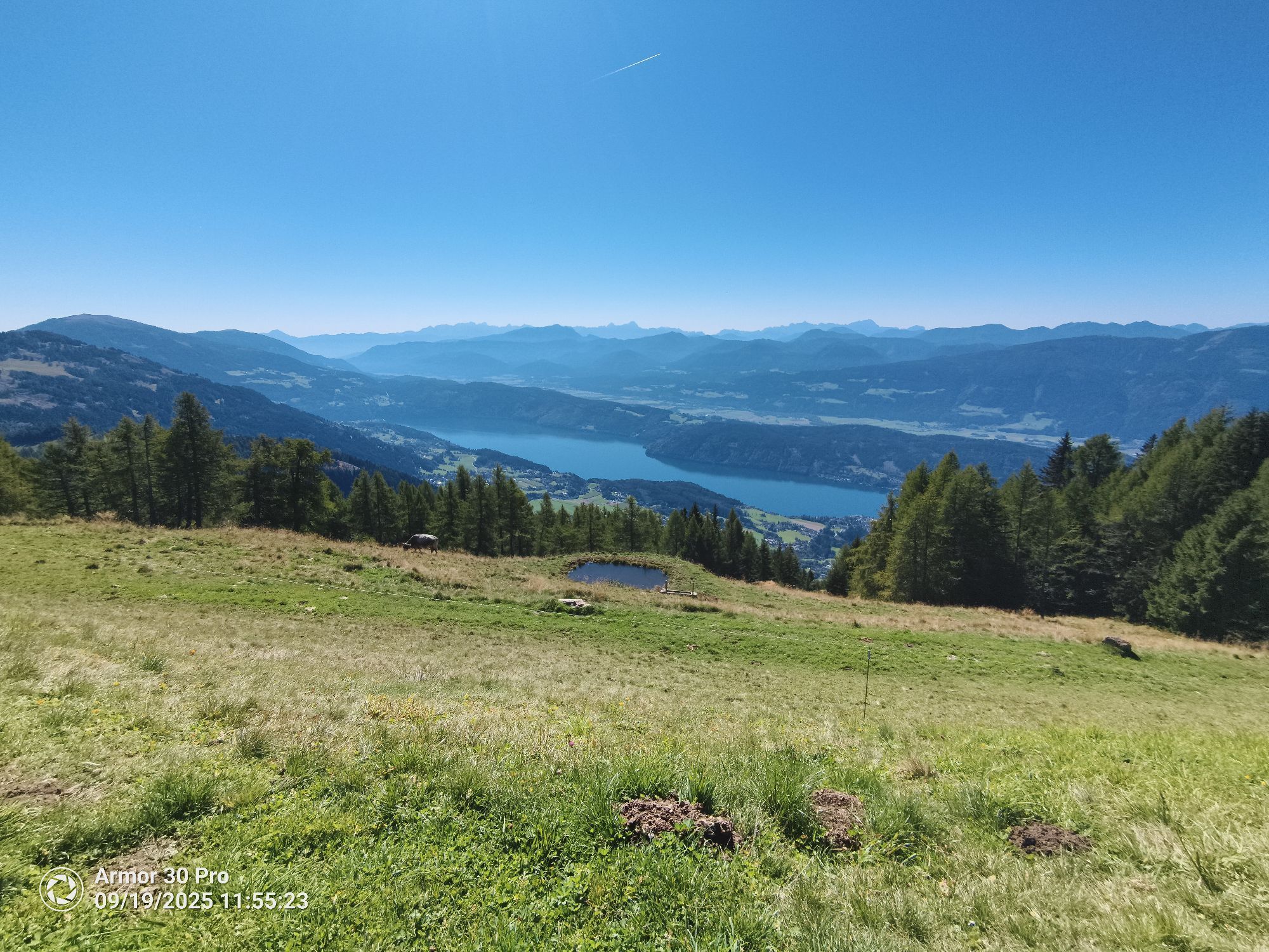
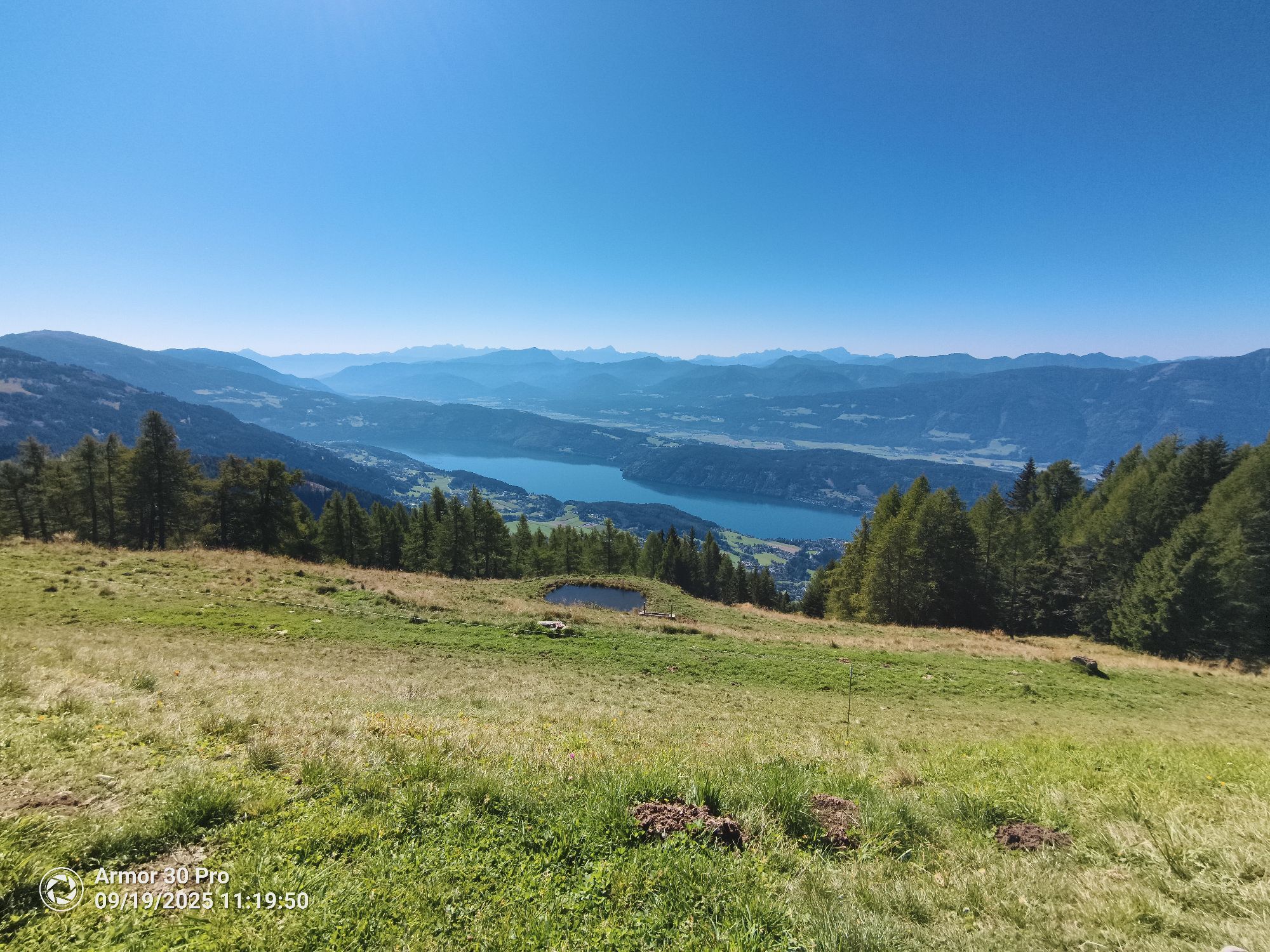
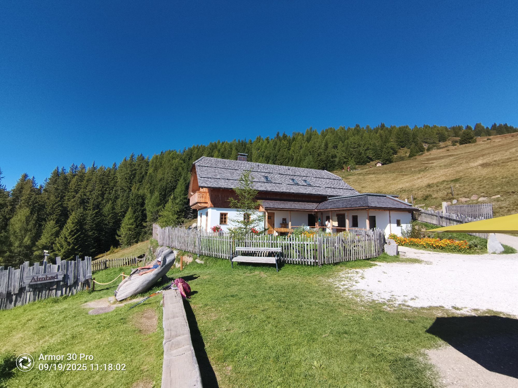
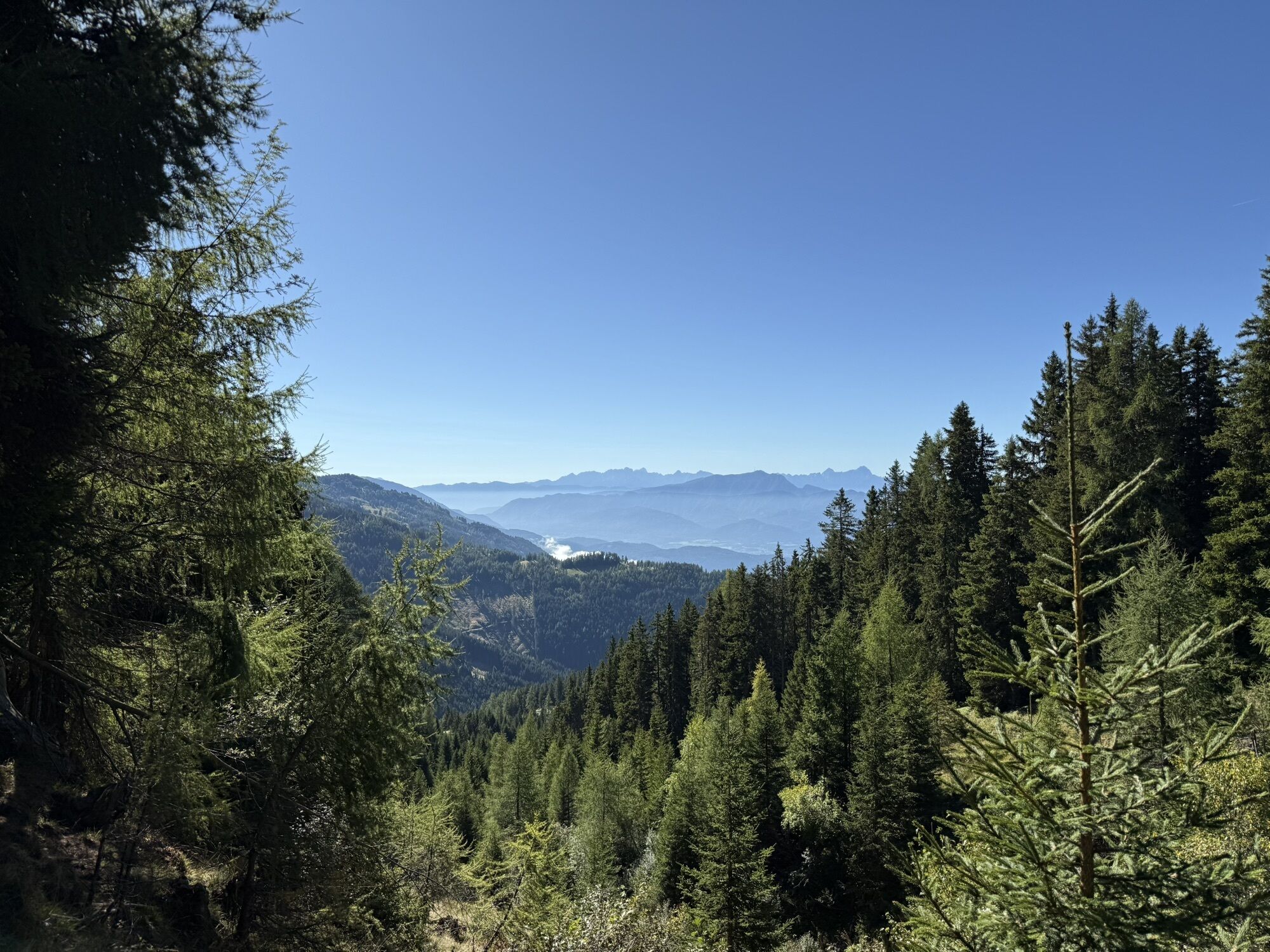
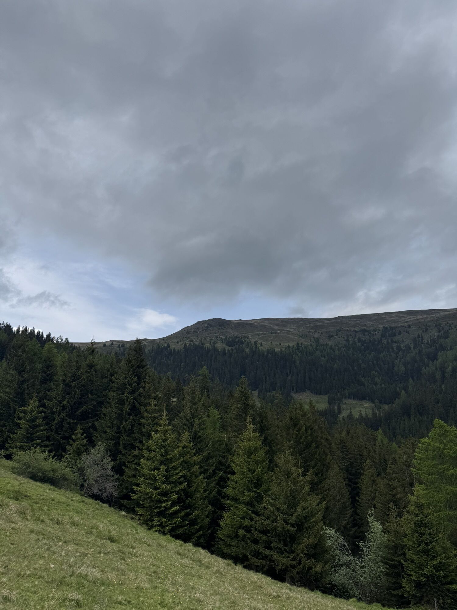
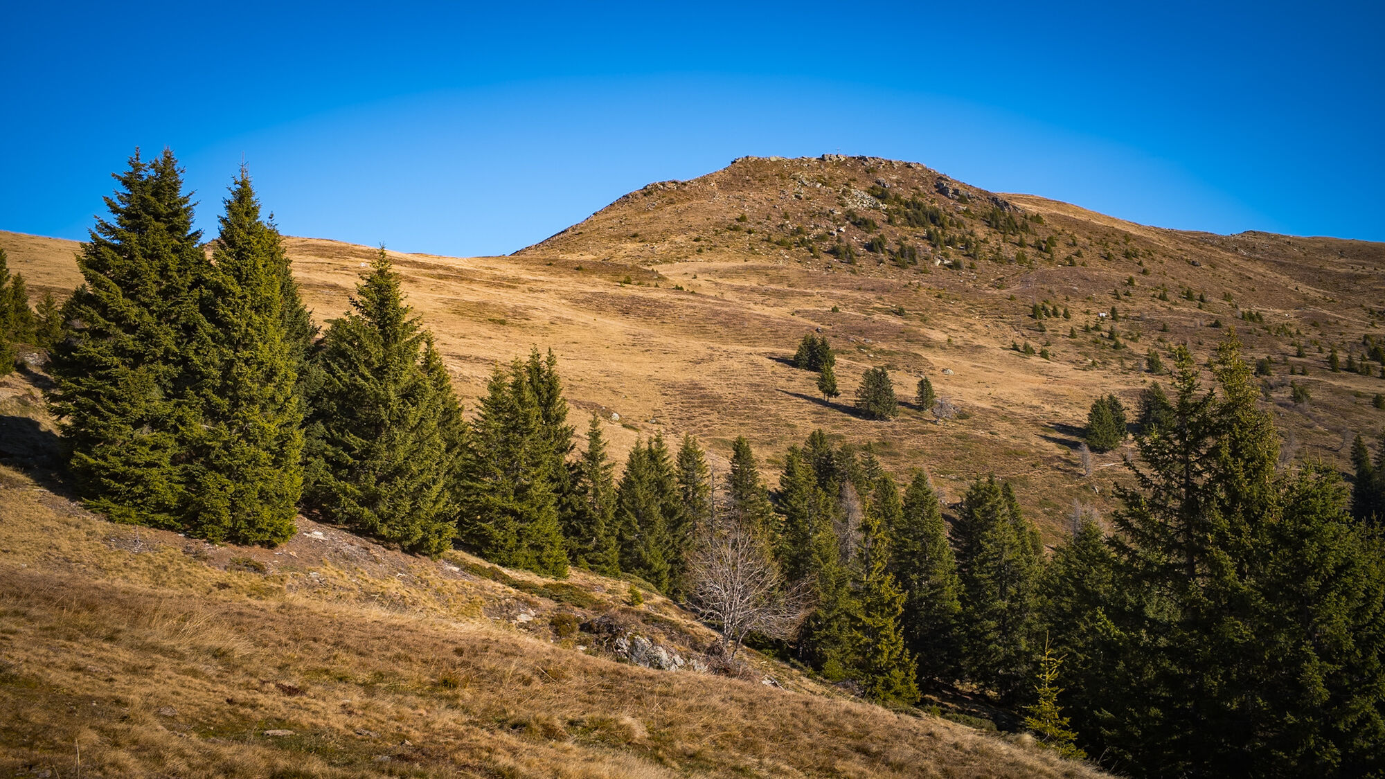
You cross the gorge and switch to the other side of the creek until you meet trail no. 1917. Follow this trail, which passes by the Herzog hut and leads back into the gorge. Once back in the gorge, there is an ascent to the Hochrindl spring. Here the gorge trail meets the Millstätter Alm road, which you have to follow for about 400 meters until an old mountain path branches off at a curve and leads the next 200 vertical meters to the Schwaiger hut. Here you meet hikers who have chosen the ascent via the toll Millstätter Alm road and start their hike here. After the first stop at the Schwaiger hut, follow a wide forest road for about 30 minutes to the Millstätter hut, the highest point of the hike. Another 30 minutes later and slightly downhill, you see at the height of Alexander Alm, the third and last possible stop, the Millstätter Lake for the first time. About 500 meters after the Alexander Alm, a forest road branches to the right and leads alternately with a hiking path over the Tschierweger Alm back to the starting point of the hike.
Important prerequisites for the success of a mountain route, besides careful study of guides and maps, is optimal equipment. The basic equipment includes:
Solid, well-fitting mountain or hiking boots with a grippy sole Water- and wind-resistant mountain clothing in layers, hiking poles Sunglasses, sun protection Mobile phone and hiking map A first aid kit As well as enough to drink and a snackProper behavior in the mountains:
Careful route planning based on descriptions and hiking maps is indispensable for the success of a mountain route. Equally important is properly assessing the mountain experience, fitness, sure-footedness, fear of heights, and endurance of all participants. Never leave marked hiking trails and avoid shortcuts. Inform yourself about weather conditions before the hike and return to the valley if the weather deteriorates. The mountains are for everyone. Helping to preserve and keep them clean is every hiker's duty. You should carry your waste back to the valley, and the animal and plant life should be protected. Always keep dogs under control and on a short leash. If an attack by a grazing animal is foreseeable, the dog must be immediately unleashed. Austrian farmers play an important role in preserving our alpine landscape. We ask visitors to respect and adapt to this beautiful landscape. Meet the people working here, nature, and animals with respect.Here are the most important emergency numbers in case of an accident in Austria:
140 Alpine emergency 144 Rescue emergency 112 European emergency (accessible from all networks. Turn off your mobile phone and after turning it on, instead of the PIN dial “112”)The journey is via the market town Millstatt am See. In Tschierweg, leave the Obermillstätter Landesstraße and follow the road for about 3.4 km until just before the toll station.
As a feeder to public transport, the Nockmobil is a green alternative to the car as an on-demand call taxi and brings you flexibly from stop to stop.
Have the Nockmobil take you to the starting point of the hike at the toll station of the Millstätter Alm road (stop number 117 Schwaigerschaft - Jörgbauer) and back again.
We recommend a lead time of about one hour to book a trip with the Nockmobil. The call taxi can be booked by phone at +43 123 500 444 24, via the app, or on the ISTmobil website.
Around 300 meters before the toll station of the Millstätter Alm road, free parking is available on the side of the road.
More information about the hiking area of the region can be found at www.millstaettersee.at/wandern.
 Pridobite vpogled
Vedno v živo na mestu z več kot 9.500 spletnimi kamerami. bergfex Kot uporabnik Pro si lahko zdaj ogledate ustrezne spletne kamere za številne izlete v aplikaciji izleti iz. Tako si lahko neposredno ogledate trenutne razmere.
Pridobite vpogled
Vedno v živo na mestu z več kot 9.500 spletnimi kamerami. bergfex Kot uporabnik Pro si lahko zdaj ogledate ustrezne spletne kamere za številne izlete v aplikaciji izleti iz. Tako si lahko neposredno ogledate trenutne razmere.
Dejavnosti na poti
-

Millstatt am See, Kärnten/Österreich
16.07.2026 – Pohodništvo -

Millstatt am See, Kärnten/Österreich
08.07.2026 – Gorski pohodništvo -

Millstatt am See, Kärnten/Österreich
05.07.2026 – Pohodništvo -

Millstatt am See, Kärnten/Österreich
19.09.2025 – Pohodništvo -
Millstatt am See, Carinthia/Austria
20.08.2025 – Pohodništvo
Priljubljeni izleti v okolici
-
5.0
Bergfried Hütte, Stoder 2433, Gmeineck 2592
težkoPohodništvo 8.23 km -
4.8
Enzian-Granatsteig & Almbrunn Steig
svetlobaPohodništvo 8 km -
4.9
Nockbergrundwanderweg
srednjaPohodništvo 6.62 km -
4.8
Lammersdorfer Hütte, Granattor Runde
svetlobaPohodništvo 9.85 km -
4.8
H-2-O Höhenweg
svetlobaTematska pot 5.40 km -
4.7
Große Rosennock Runde
Pohodništvo 9.80 km -
4.8
Nockhöhensteig
srednjaPohodništvo 7.67 km -
4.6
Millstätter See cycle track
srednjaKolesarjenje 27.7 km -
4.5
Peitlernock, Hohe Pressing, Bärenaunock
srednjaPohodništvo 9.16 km -
4.3
Zwergsee route Millstatt
svetlobaPohodništvo 4.01 km
Pohodništvo in sledenje


Ne zamudite ponudb in navdiha za naslednje počitnice
Vaš e-poštni naslov je bil dodan na poštni seznam.





