







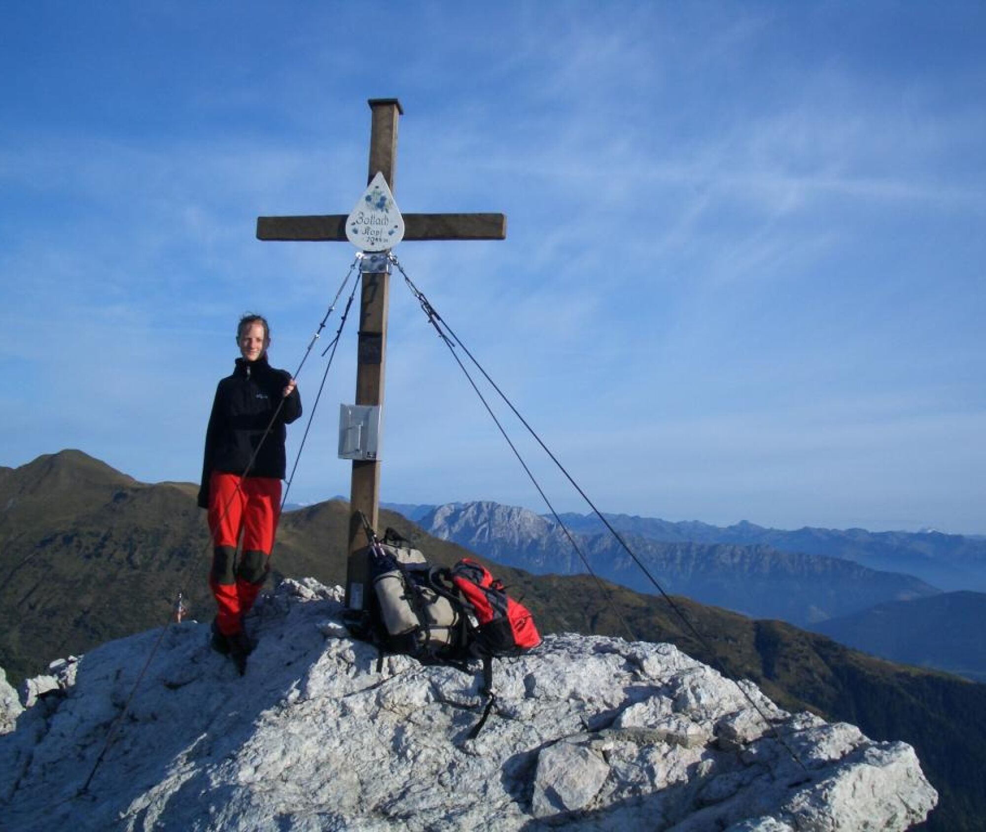
Zottachkopf (2,046 m)
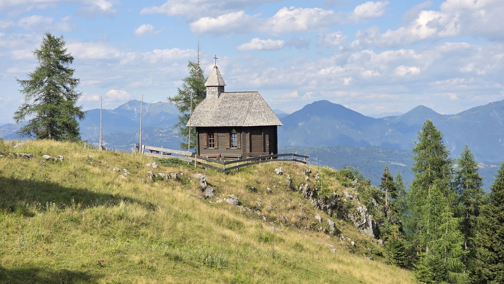
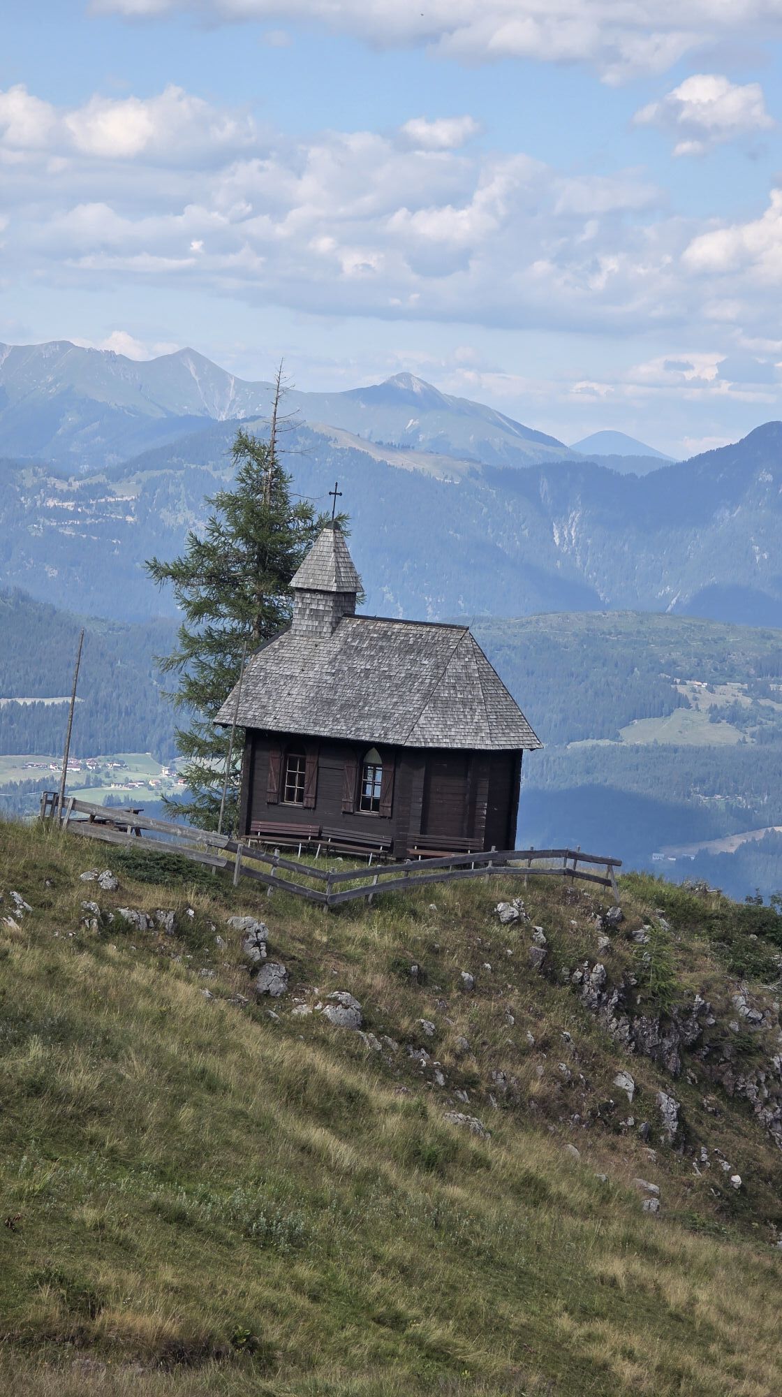
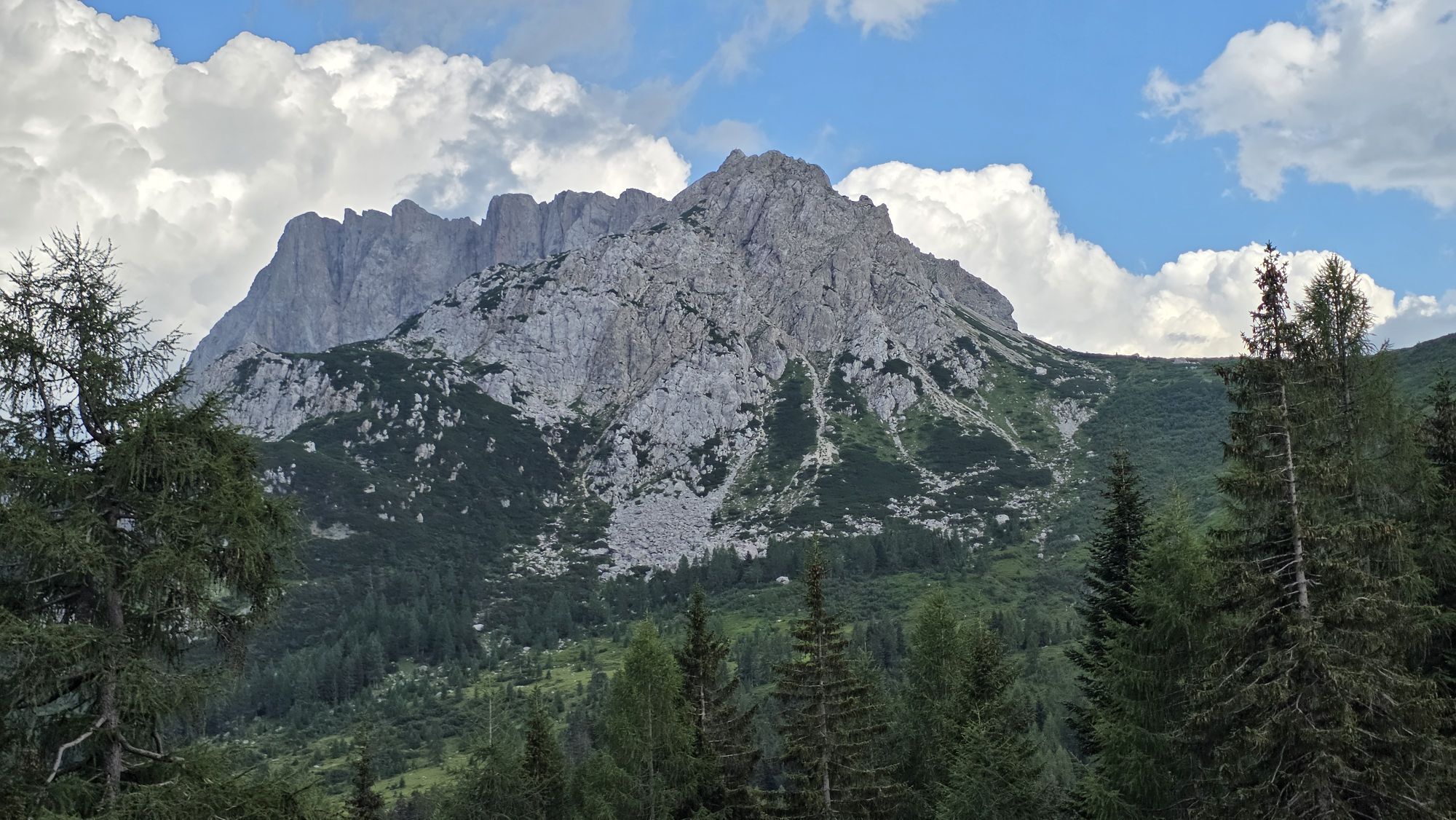
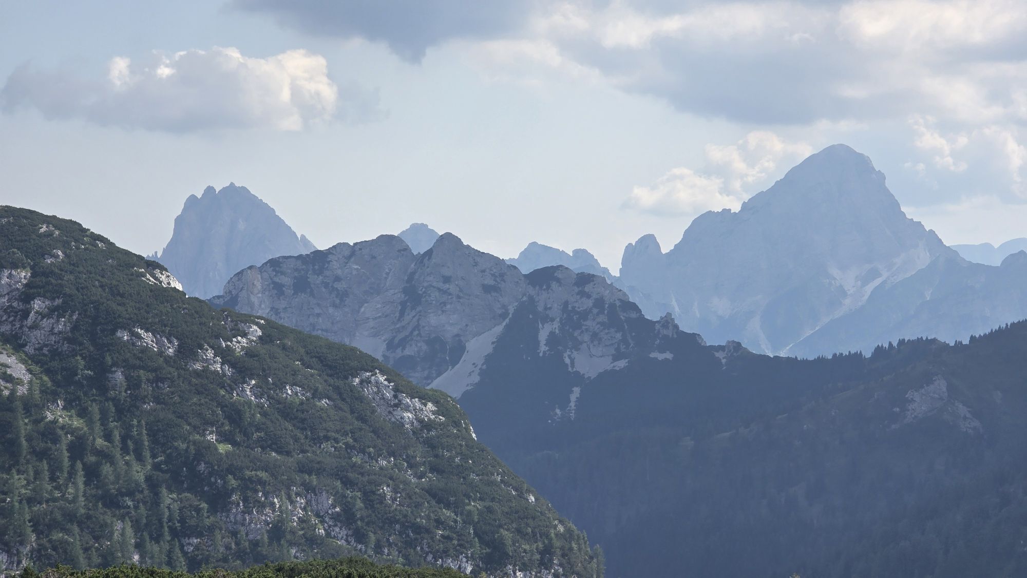
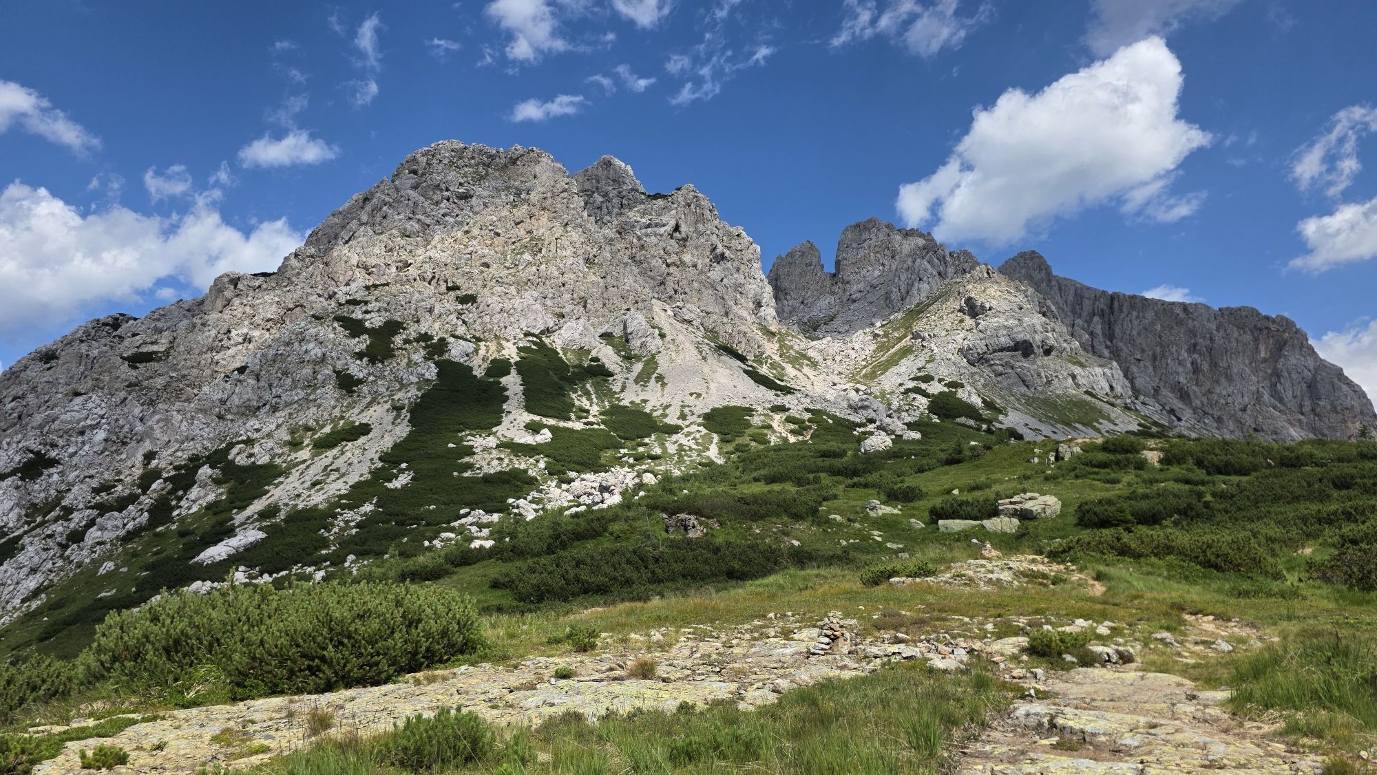
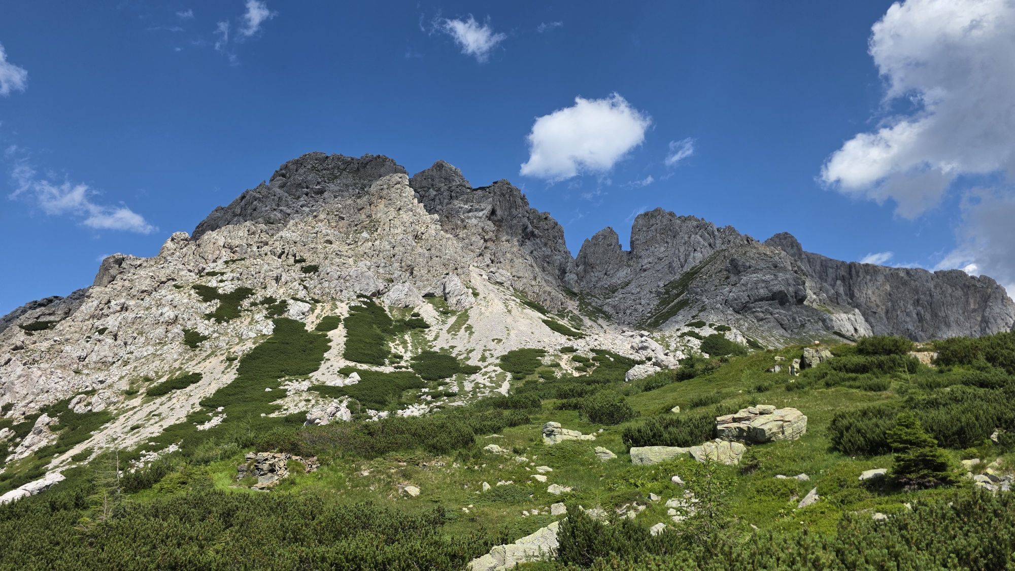
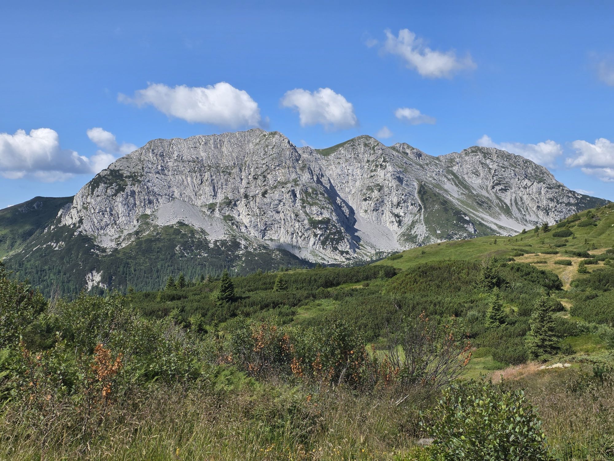
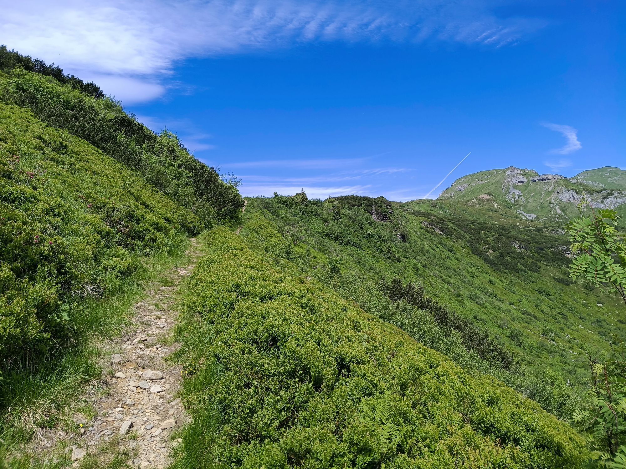
One possible interpretation of the name Zottachkopf could be found in its immediate surroundings. The "Zottach", an accumulation of plants and shrubs, is quite noticeable here:
Blue and poisonous foxglove,...
Blue and poisonous foxglove, yellow alpine poppy, violet alpine asters, large rhododendron areas, to name just a few.
Or one can refer to the local dialect: "Zottach" roughly means "torn apart". So "the torn peak". And that is definitely the Zottachkopf.
To avoid possible disagreements and discussions:
In the Gail valley, the whole mountain formation is called Zottachkofel, the summit area Zottachkopf…!

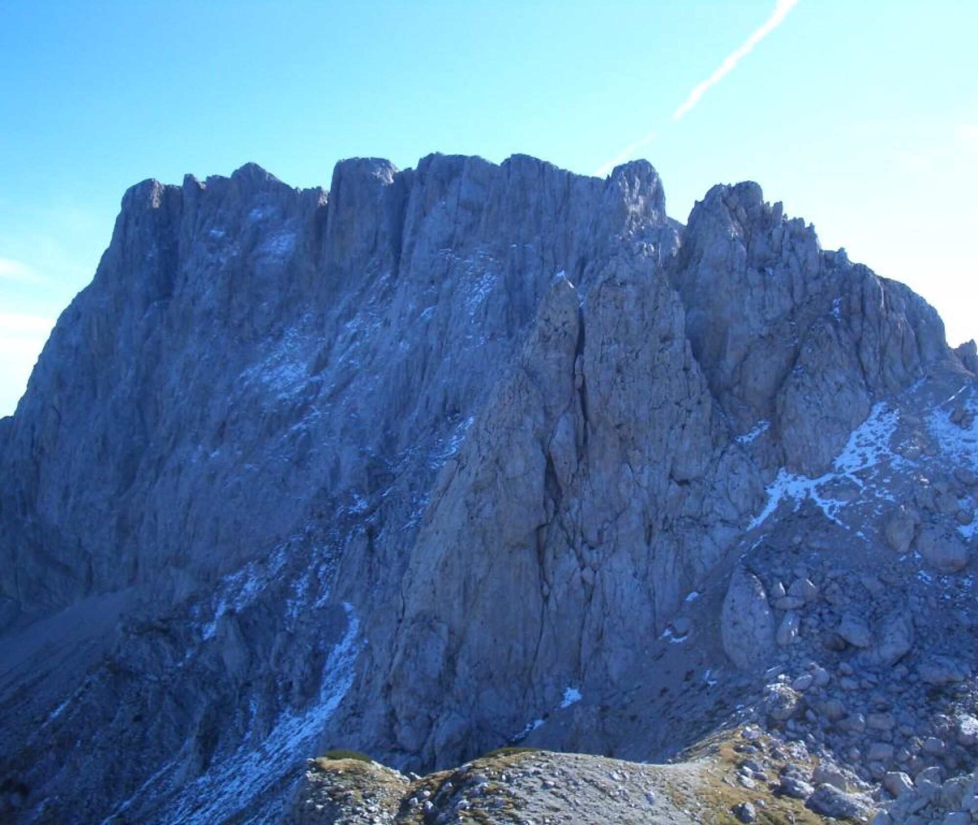
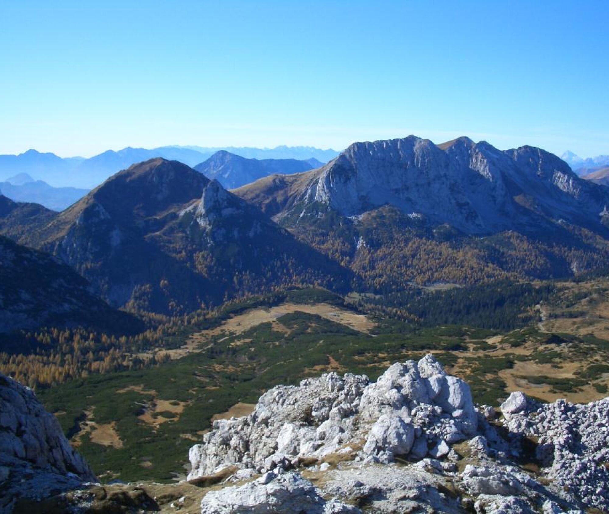
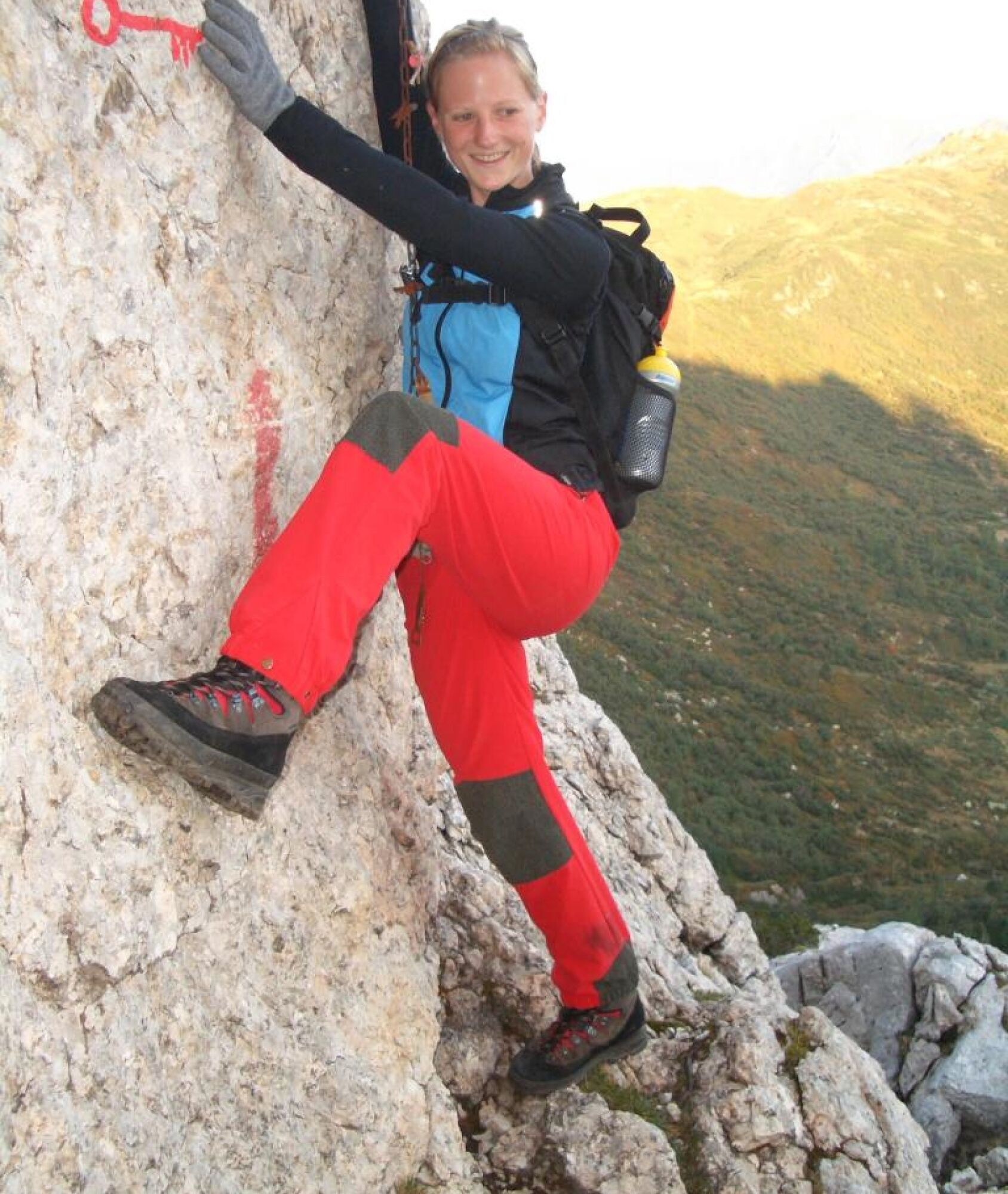
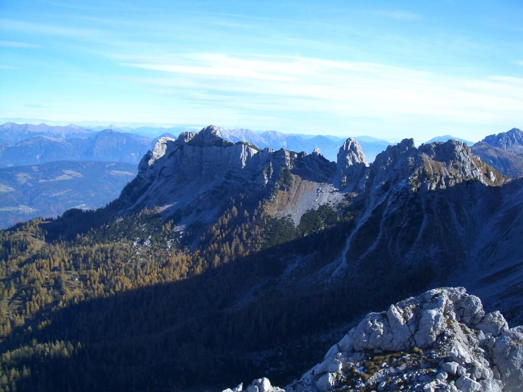
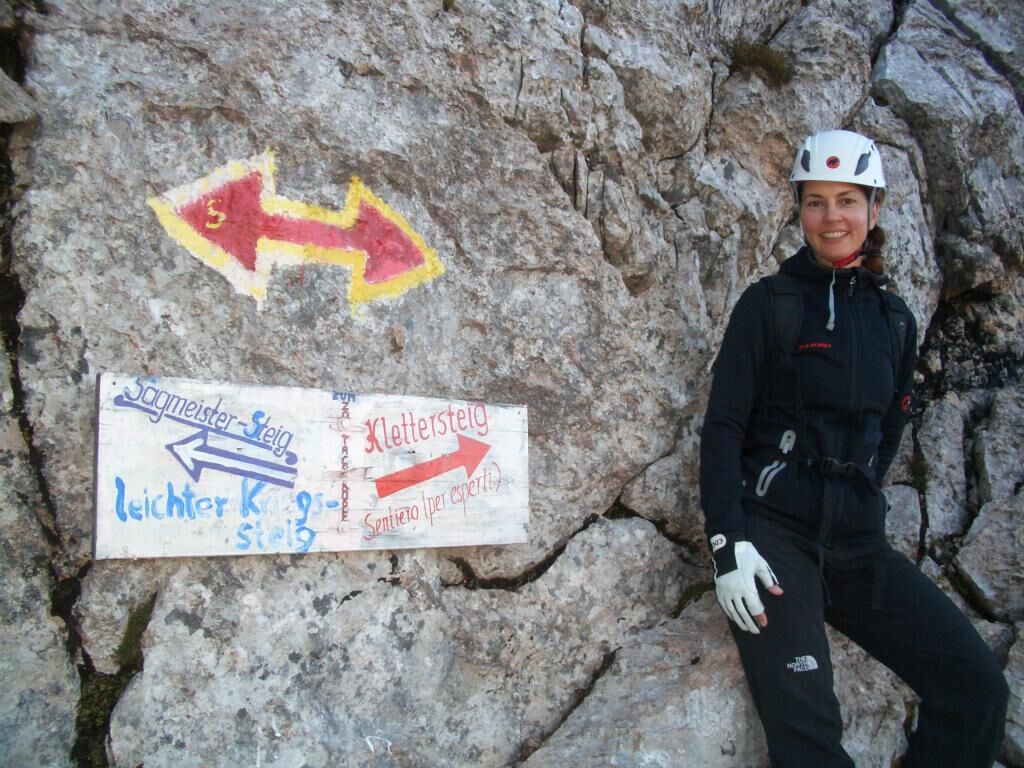
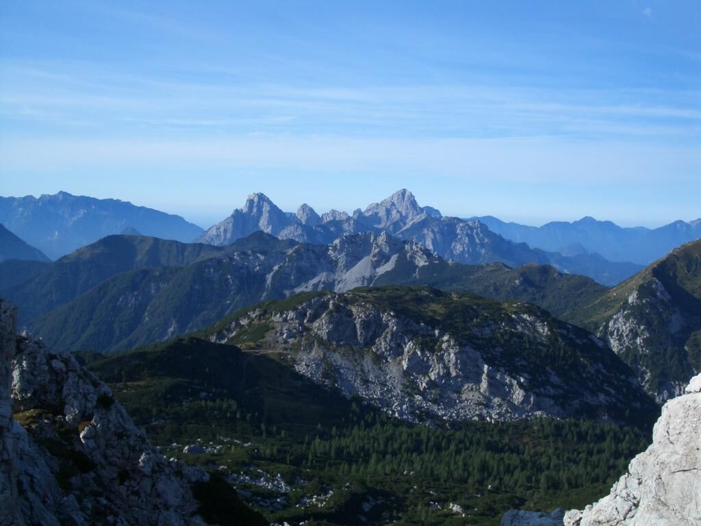

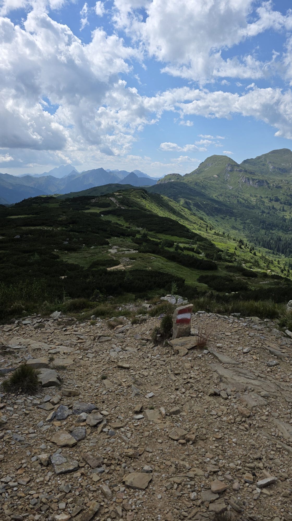
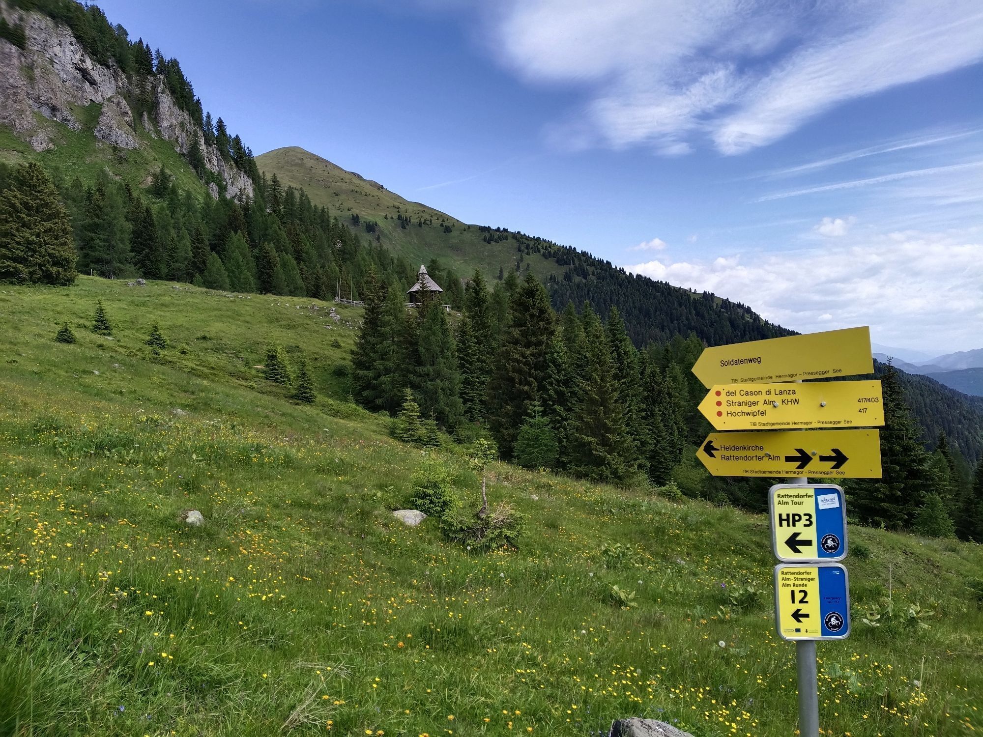
Immediately after the alpine hut, the well-marked and signposted path begins heading south towards Rattendorfer Schneid. After a few minutes, signs direct you to the left towards Zottachkopf. The path moderately ascends over the alpine terrain to a "stone sea" made of massive rock boulders directly below the Zottachkofel massif. After crossing this according to the markings, you reach a well-signposted crossroads at a rock foot, where you face the choice:
Via ferrata (to the right) or the Sagmeister path (to the left).
Feel free to take the first option; the effort will be worthwhile. Also: if you really cannot manage the so-called "key point" at the start of the via ferrata (which you reach just after the mentioned crossroads), you can easily turn back and take the Sagmeister path for the summit attempt.
On both routes, the ascent over fossil-rich shell and reef limestone is a light climb and should pose no problems since the path is only slightly to moderately exposed. Just before the summit structure, you pass a narrow notch, and after climbing the last steep rock slab, you can already enjoy the magnificent summit view "made by Zottachkopf".
DIRECTIONS (Descent):
Walk a few meters back along the ascent path, then turn right onto the south-facing slope of the Zottachkofel massif. Over a scree slope, descend to the Rattendorfer Schneid. There you meet the Carnic high trail (KHW 403), which you then follow westward along the Rattendorfer Schneid. After just under half an hour, you reach a fork where you descend north again to the Rattendorfer Alm.
Da
Da
Functional hiking clothing, wind jacket, headgear, rainwear/protection, hiking boots, provisions, enough drinks, change of clothing, various personal items like camera, mobile phone, sunscreen, sunglasses, first aid kit, etc.
If you are accompanied by your four-legged friend on this route, be sure to keep them on a leash in the area of the alpine pastures!
At the southern edge of the village of Rattendorf – directly in the area of the valley floor – you will find the start of the well-maintained mountain road (gravel road) towards Rattendorfer Alm. After some hairpin bends, you will be greeted by the stream bed of the Doberbach, designed with massive rock boulders. After passing through the gate at the lower edge of the alpine area (please always close it after passing through), the road leads in the last few curves over open alpine meadows to the parking lot immediately below the Rattendorfer Alm.
Fenced parking lot immediately below the Rattendorfer Alm – to the right in the direction of travel (information board).
This is also true on the Rattendorfer Alm, one of 13 member alms in this region that produce the "Gailtaler Almkäse g.U." according to a traditional, established method. The "g.U." stands Europe-wide for "Protected Designation of Origin" – you will surely want to convince yourself of the taste and authenticity of this product after the eventful mountain route to the Zottachkopf.
In the alpine hut on the Rattendorfer Alm.

Spletne kamere s turneje
Pridobite vpogled
Vedno v živo na mestu z več kot 9.500 spletnimi kamerami. bergfex Kot uporabnik Pro si lahko zdaj ogledate ustrezne spletne kamere za številne izlete v aplikaciji izleti iz. Tako si lahko neposredno ogledate trenutne razmere.

Priljubljeni izleti v okolici
-
4.8
RW_N9 Weißenbachklamm
srednjaPohodništvo 7.49 km -
4.8
Tarvisio - Venzone (C101)
srednjaKolesarjenje na dolge razdalje 64.7 km -
4.9
Weißenbachklamm
težkoPohodništvo 5.80 km -
4.2
Malurch Nassfeld
srednjaPohodništvo 9.60 km -
4.6
ST_N7 Gartnerkofel (2,195 m)
Smučarska tura 3.94 km -
4.6
KL_N2 Däumling
srednjaVia ferrata 1.78 km -
5.0
Nassfeld Grenze - Gartnerkofel
svetlobaPohodništvo 8.41 km -
3.7
Hermagor: Gartnerkofel
Pohodništvo 7.70 km -
4.7
RW_N22 Garnitzen Gorge Geotrail
srednjaTematska pot 6.73 km -
4.7
ST_N9 Madritschen (1,918 m)
Smučarska tura 2.71 km
Pohodništvo in sledenje


Ne zamudite ponudb in navdiha za naslednje počitnice
Vaš e-poštni naslov je bil dodan na poštni seznam.





