



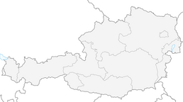


Panorama hike Glocknerblick-Asten
Fotografije naših uporabnikov
-
 © Elfriede MoesslerUstvarjeno na 31.12.2025
 -
 © Elfriede MoesslerUstvarjeno na 31.12.2025
 -
 © Elfriede MoesslerUstvarjeno na 31.12.2025
 -
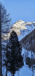 © Elfriede MoesslerUstvarjeno na 31.12.2025
 -
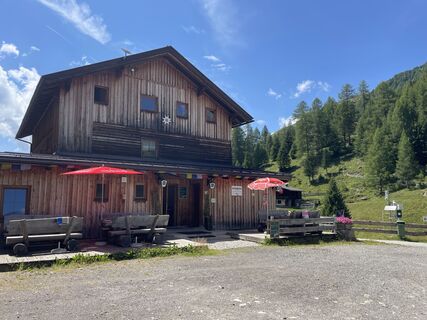
 © albstrUstvarjeno na 19.07.2025
 -
 © albstrUstvarjeno na 19.07.2025
 -
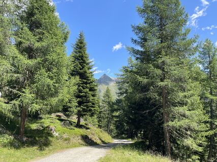 © albstrUstvarjeno na 19.07.2025
 -
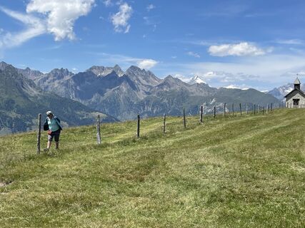 © albstrUstvarjeno na 19.07.2025
 -
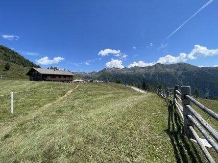 © albstrUstvarjeno na 19.07.2025
 -
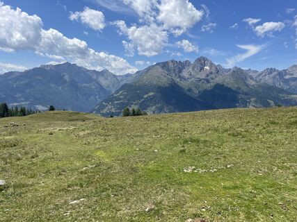 © albstrUstvarjeno na 19.07.2025
 -
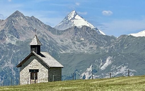 © albstrUstvarjeno na 19.07.2025
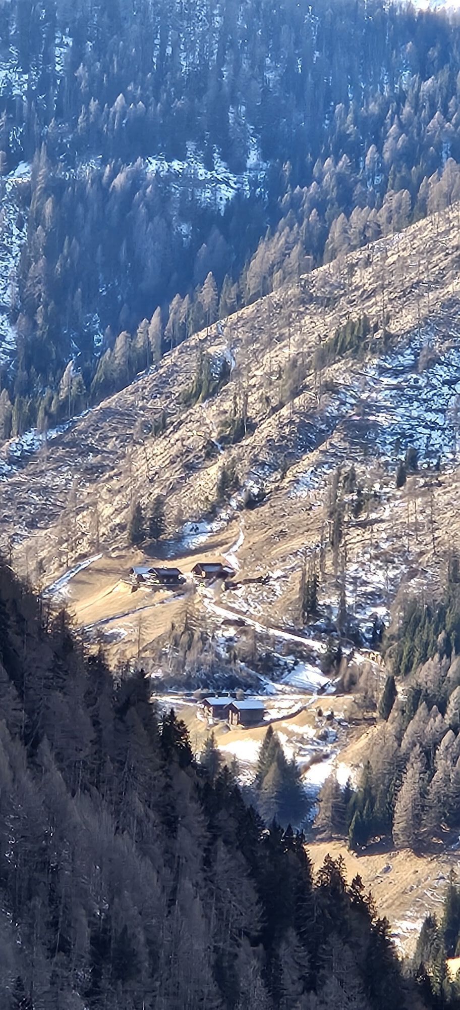
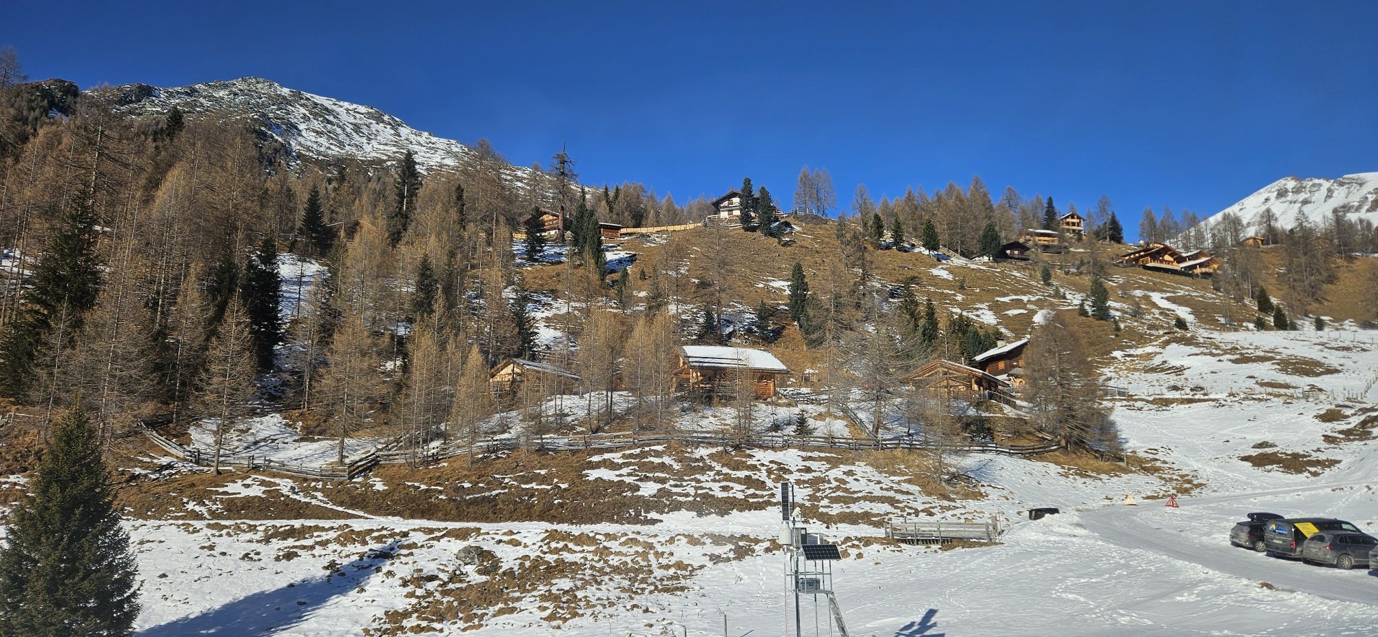
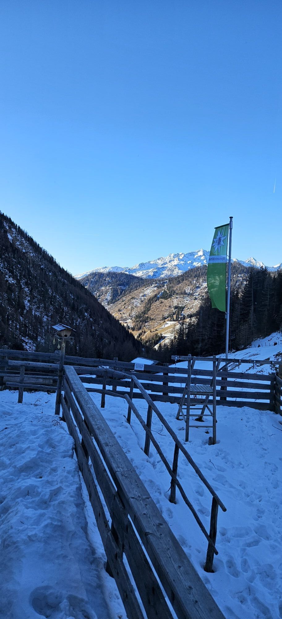
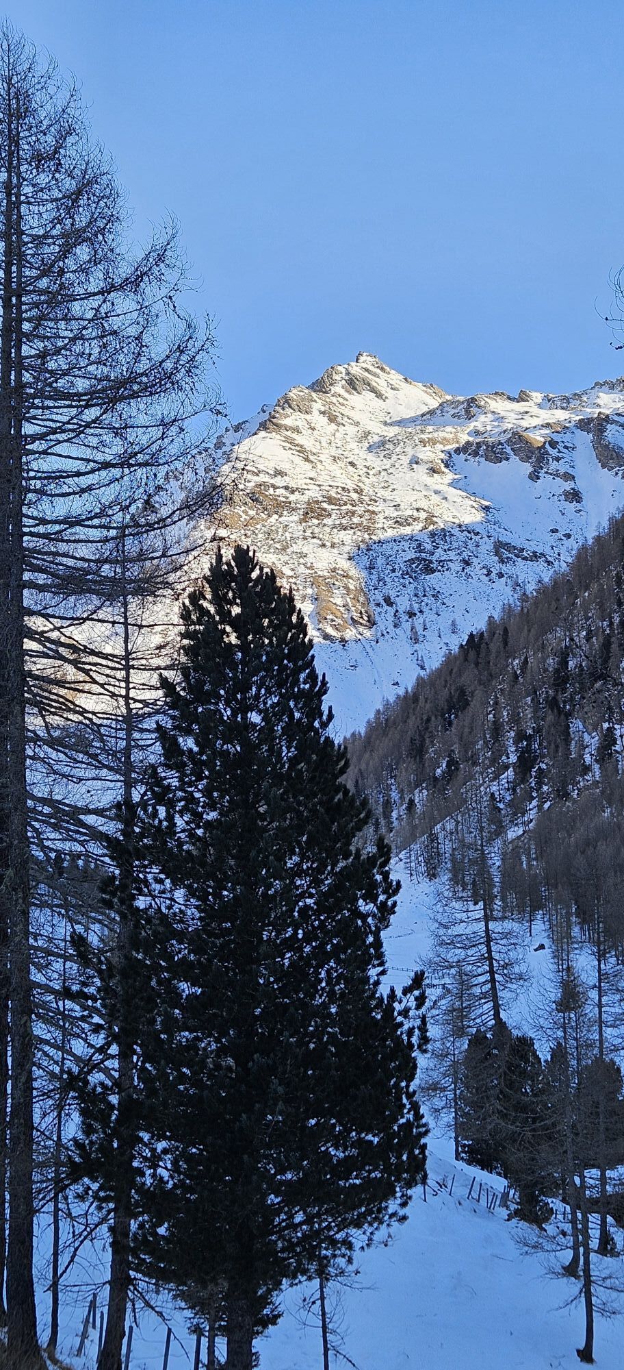
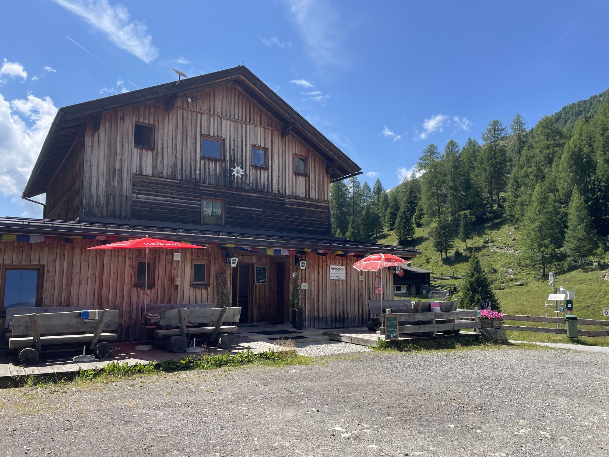

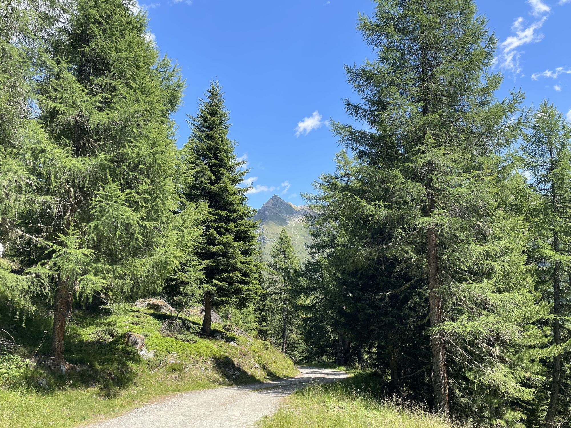
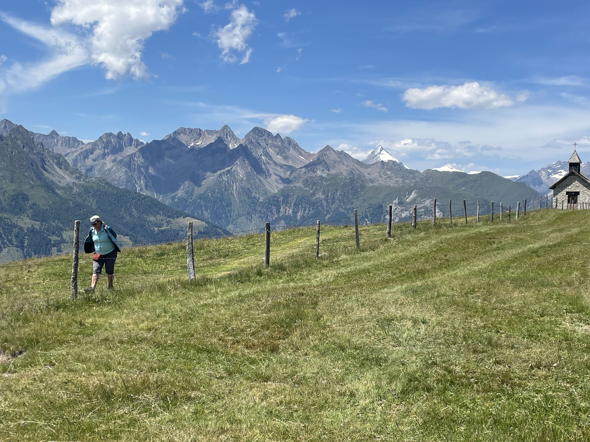
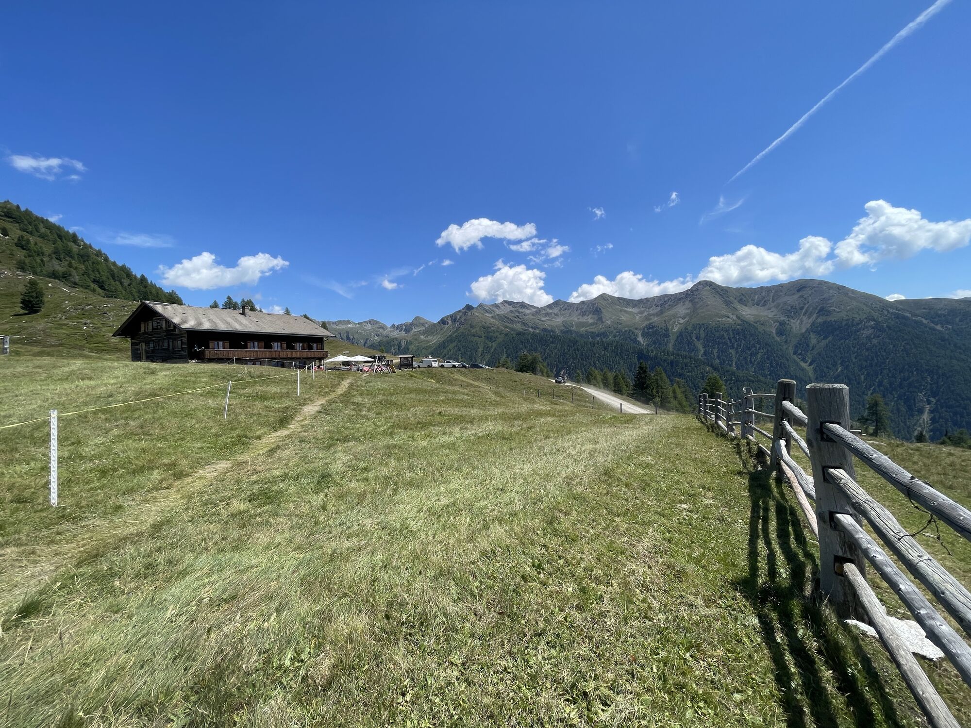
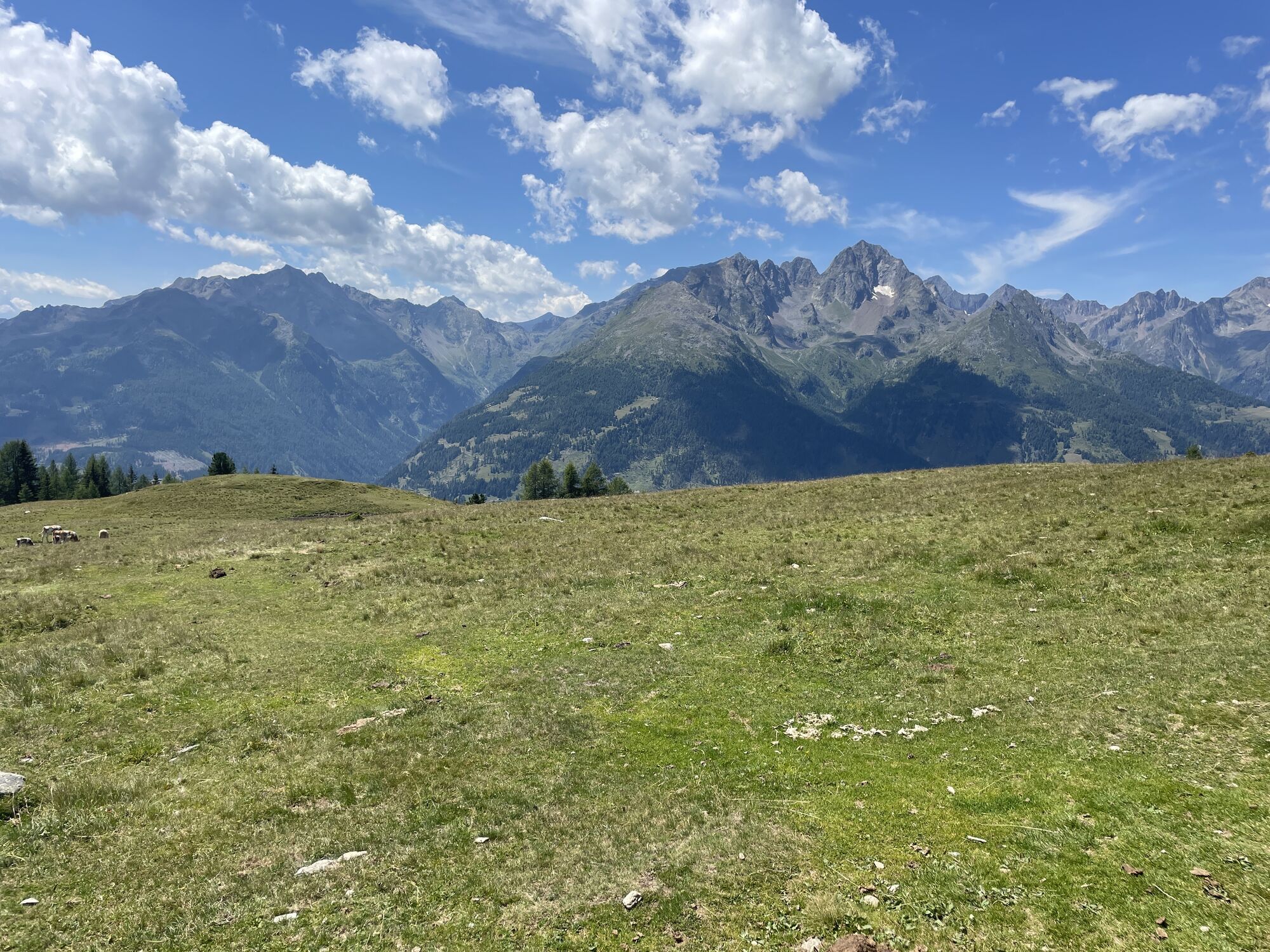
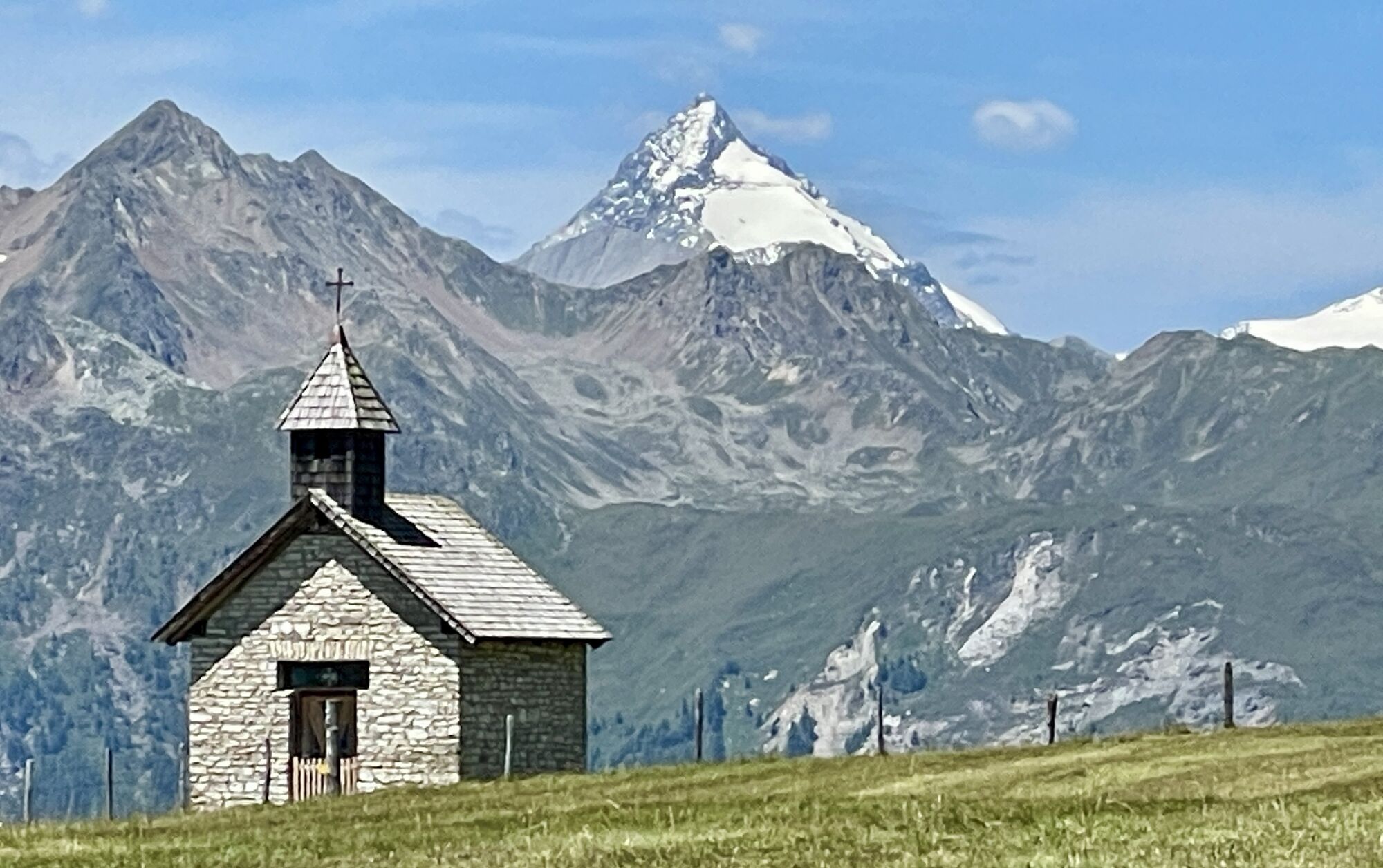
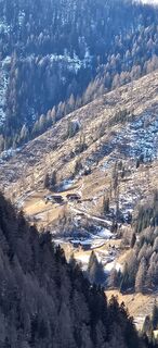
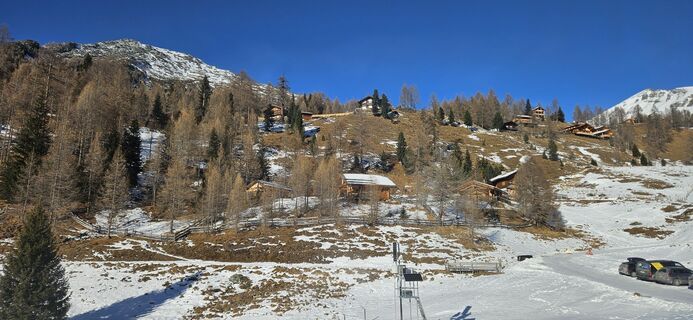
Starting from the Sadnighaus, we first ascend through cooling mountain forest. Passing the Wollaalm, continuing with a dreamlike view of the Schober Group and the Lienz Dolomites, into the enchanting alpine...
Starting from the Sadnighaus, we first ascend through cooling mountain forest. Passing the Wollaalm, continuing with a dreamlike view of the Schober Group and the Lienz Dolomites, into the enchanting alpine meadow area of the Astental. The hiking trail leads almost flat along the slopes of the Mohar to the Gasthaus Glocknerblick. A visit to the nearby, picturesque Antonius Chapel is recommended here first!
For the return, you can also use the gravel road that brings us back to the starting point.
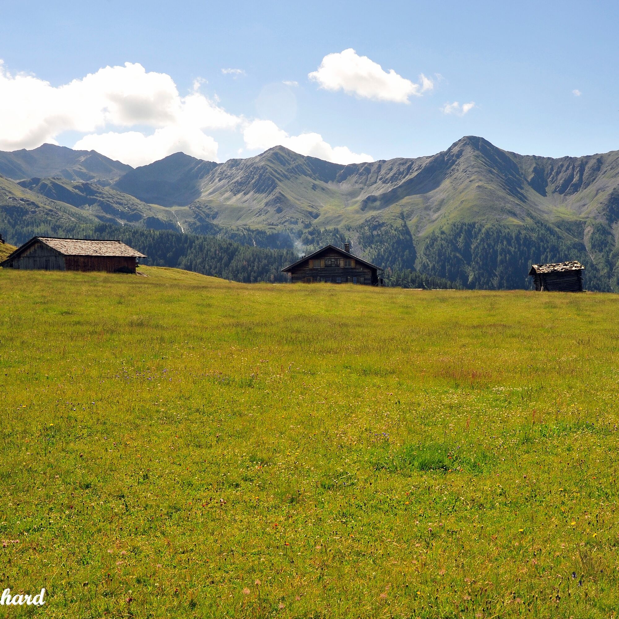
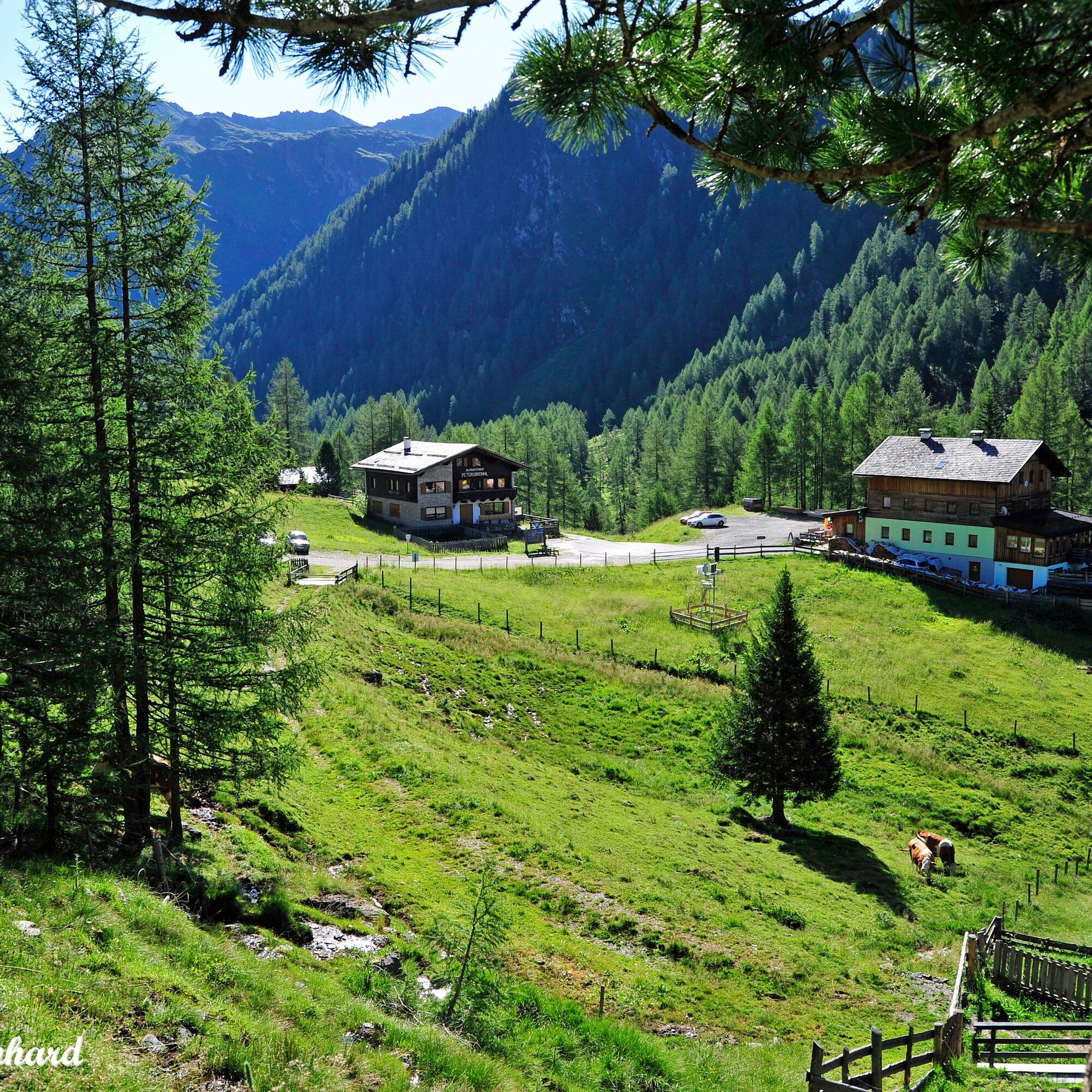
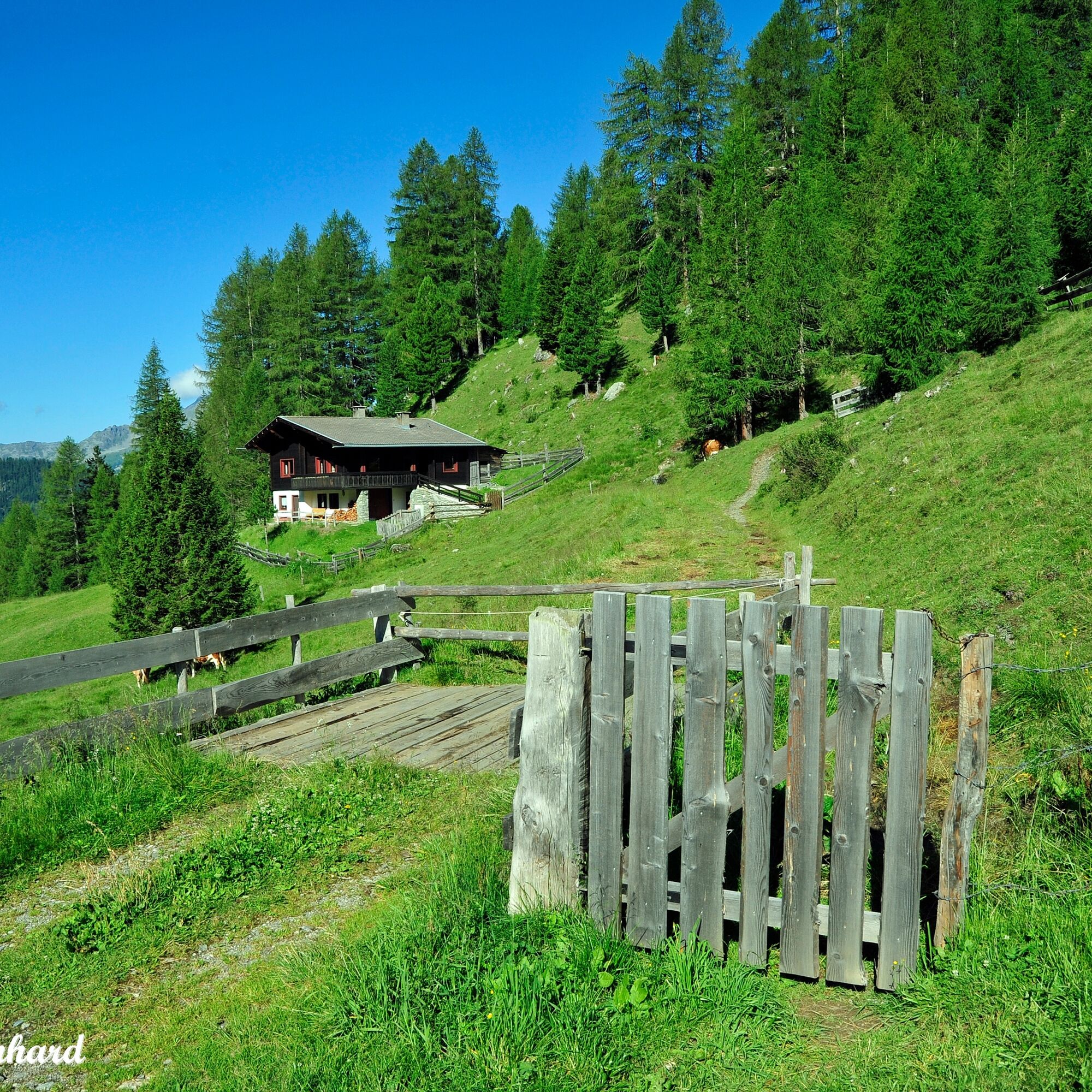
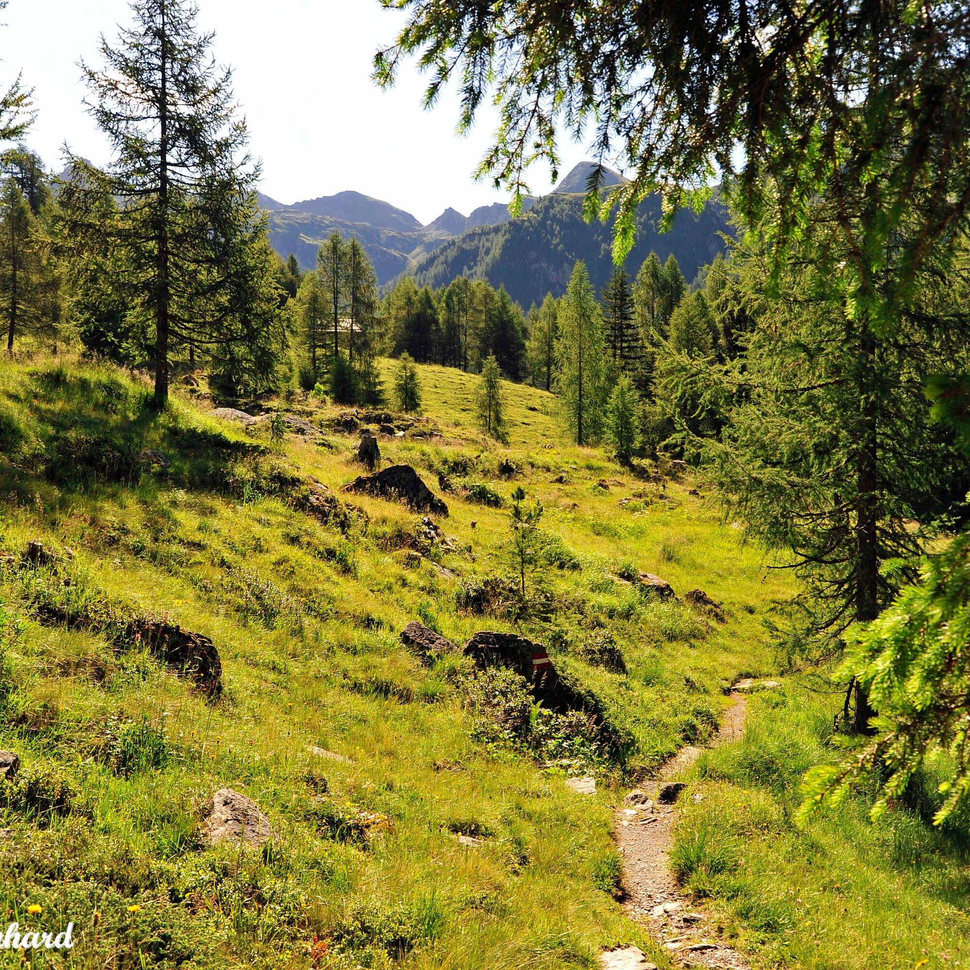
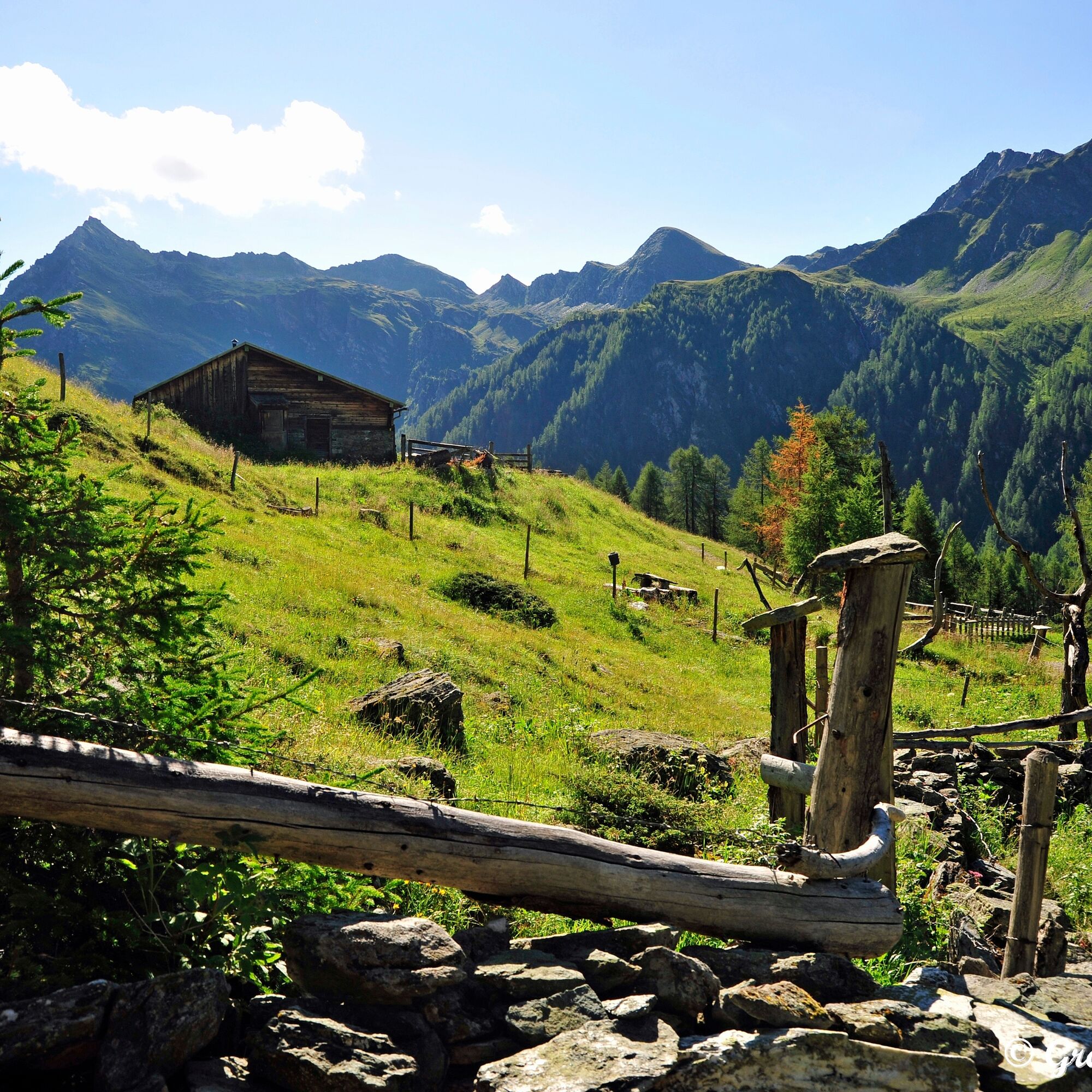
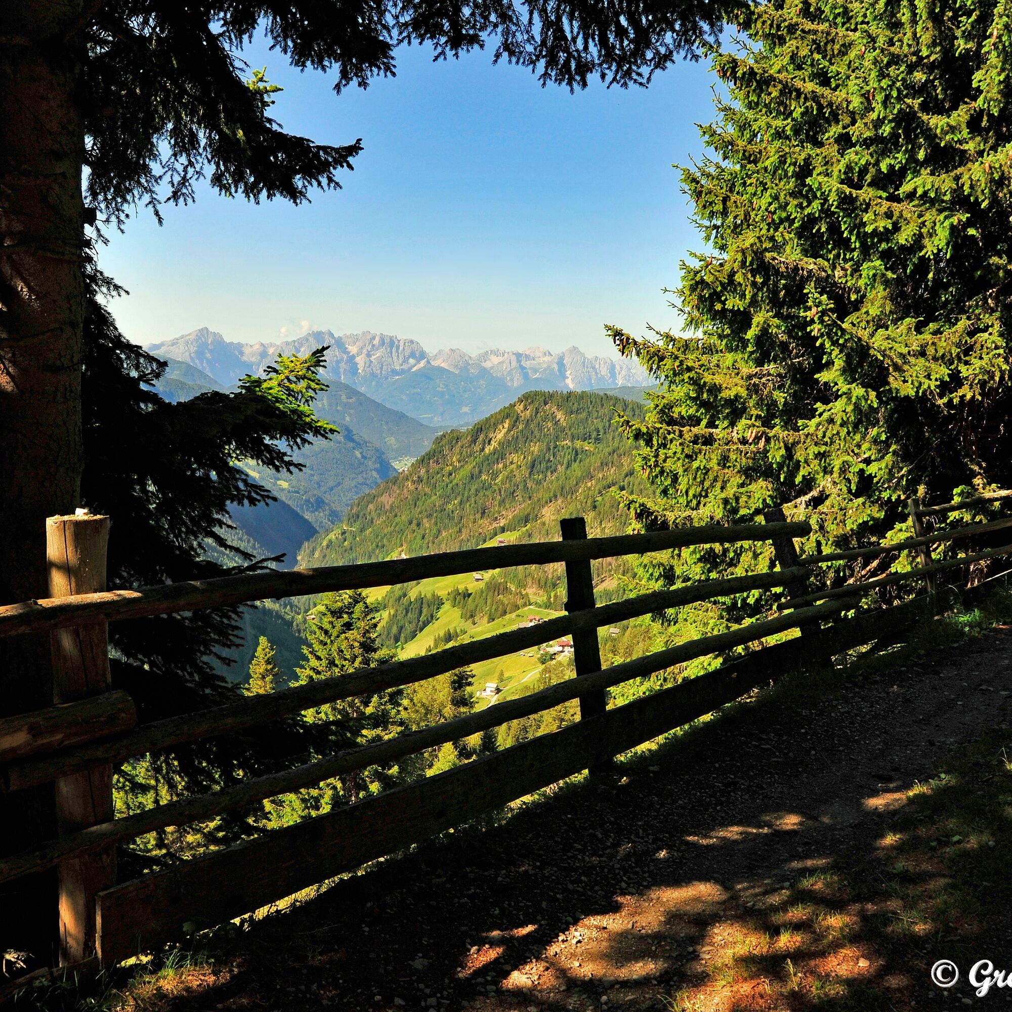
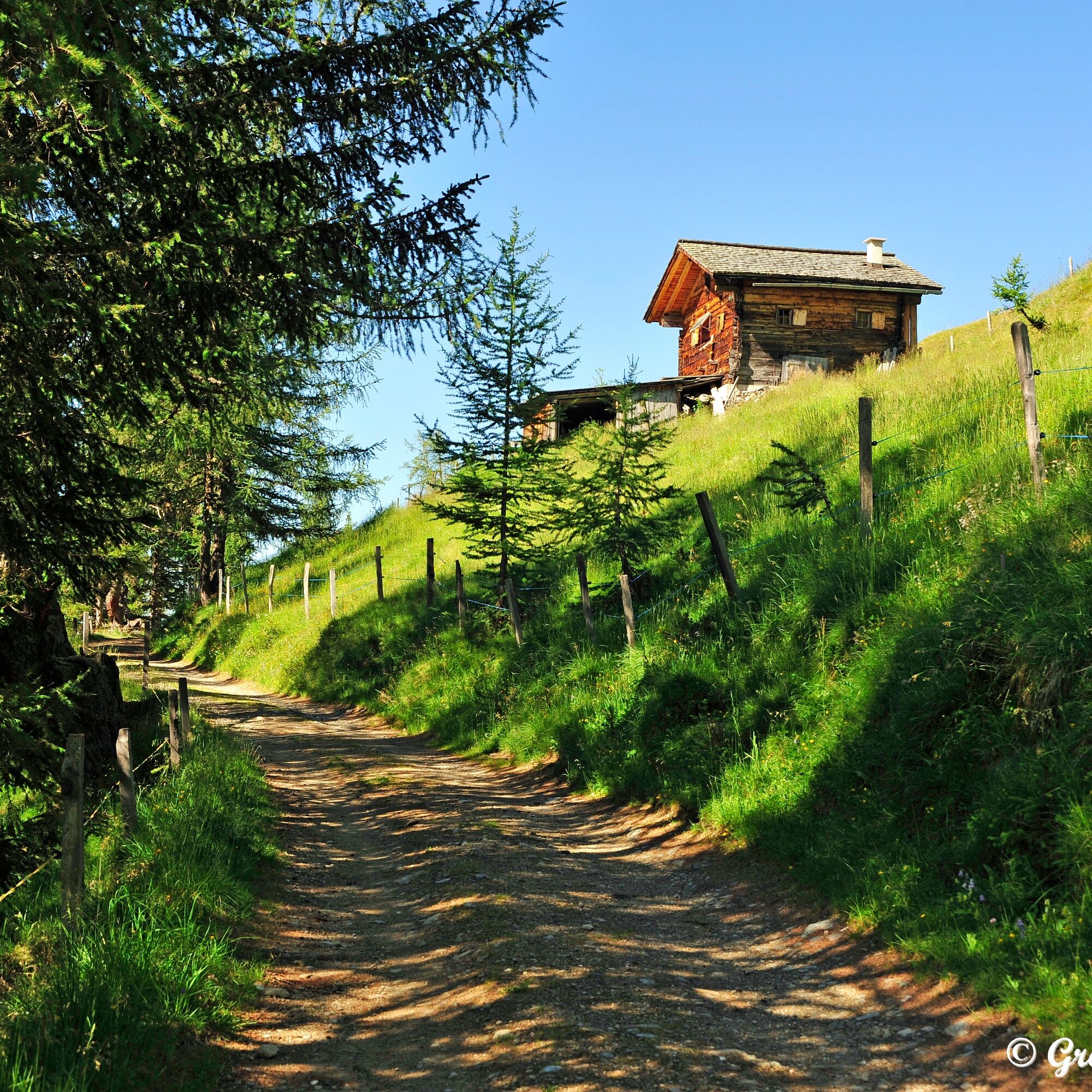
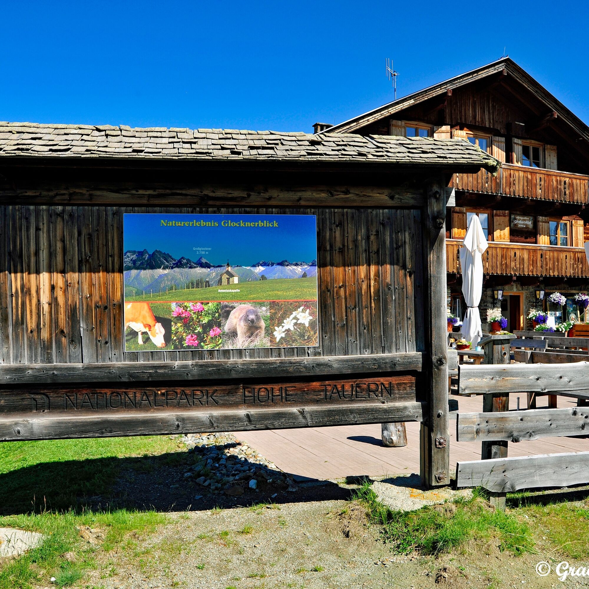
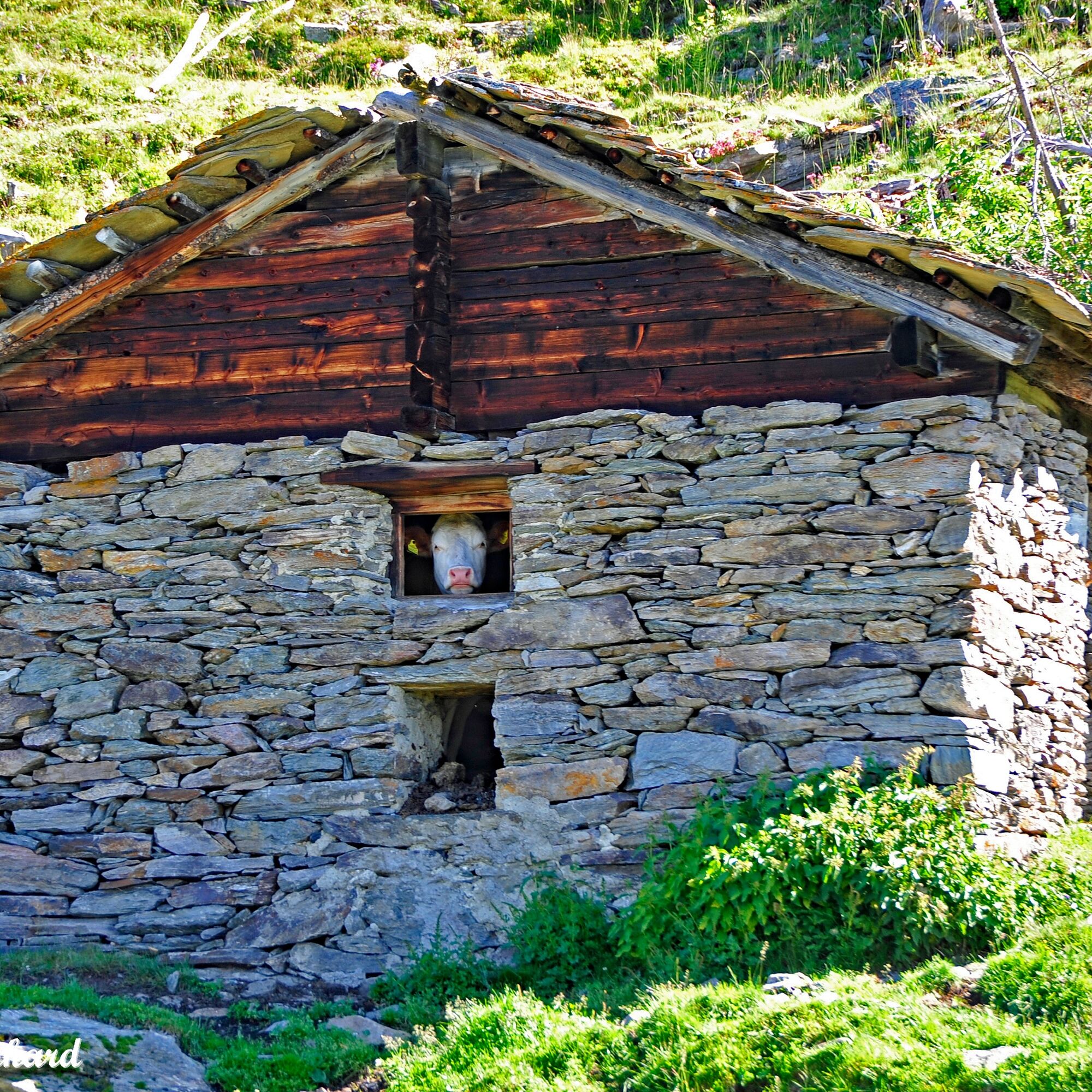
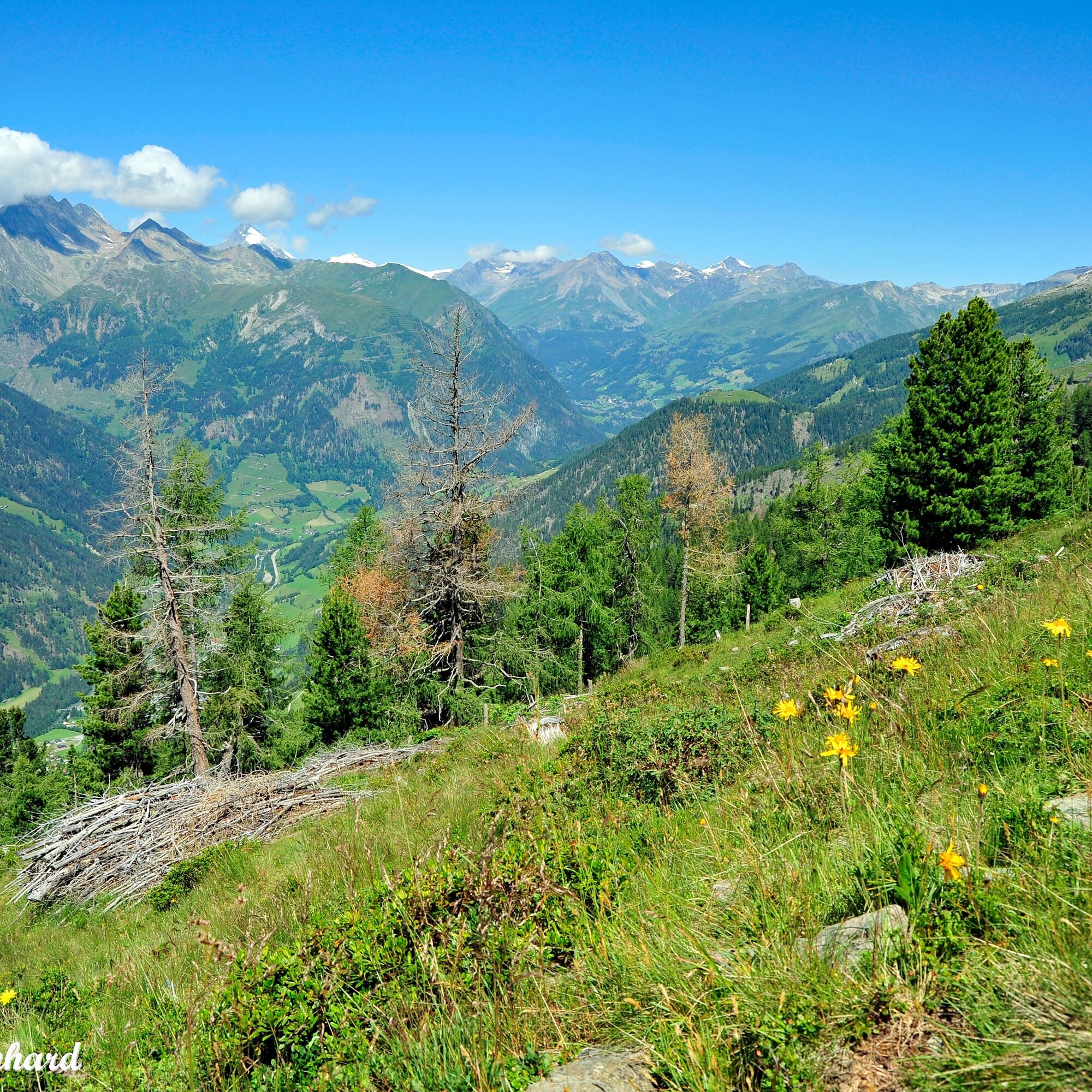
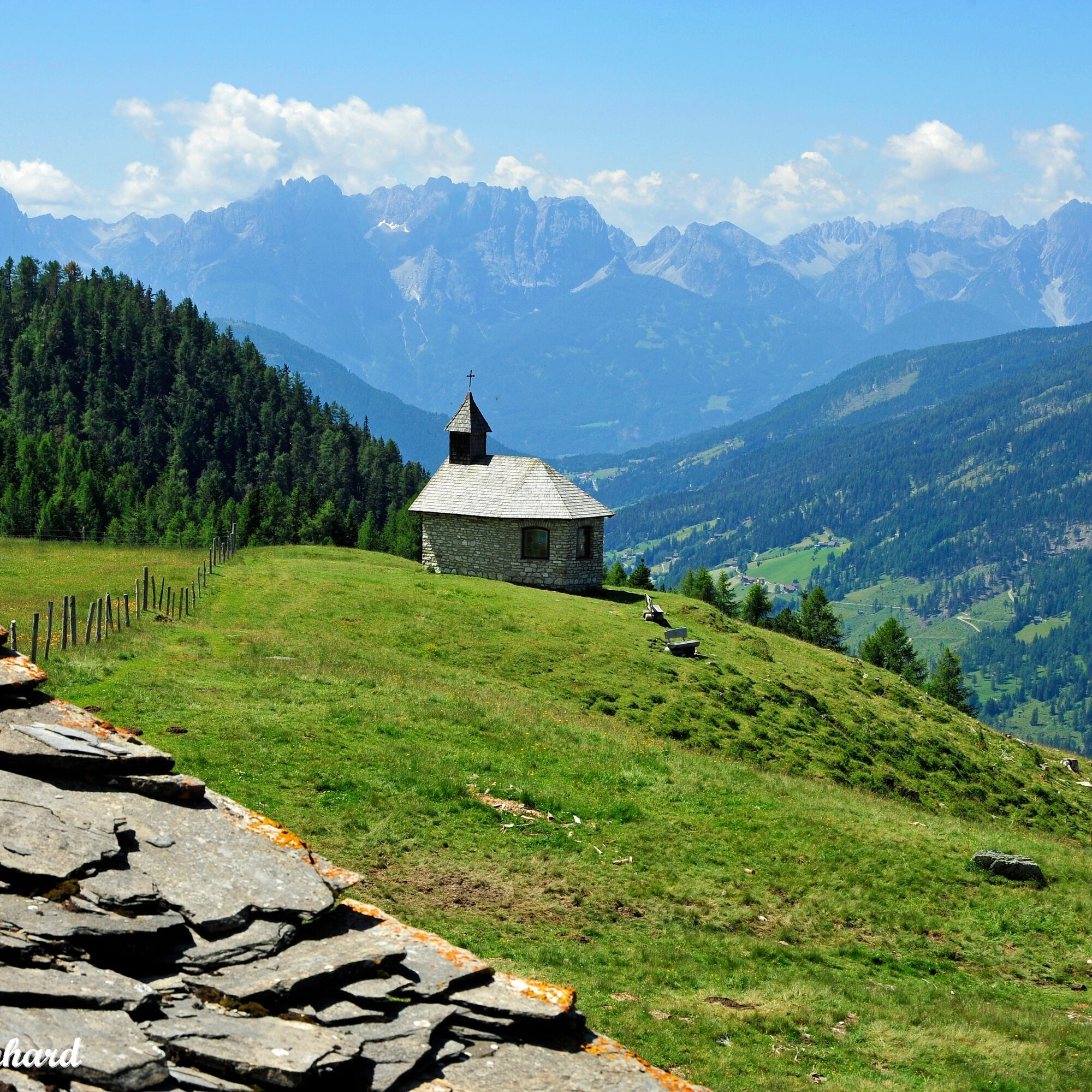
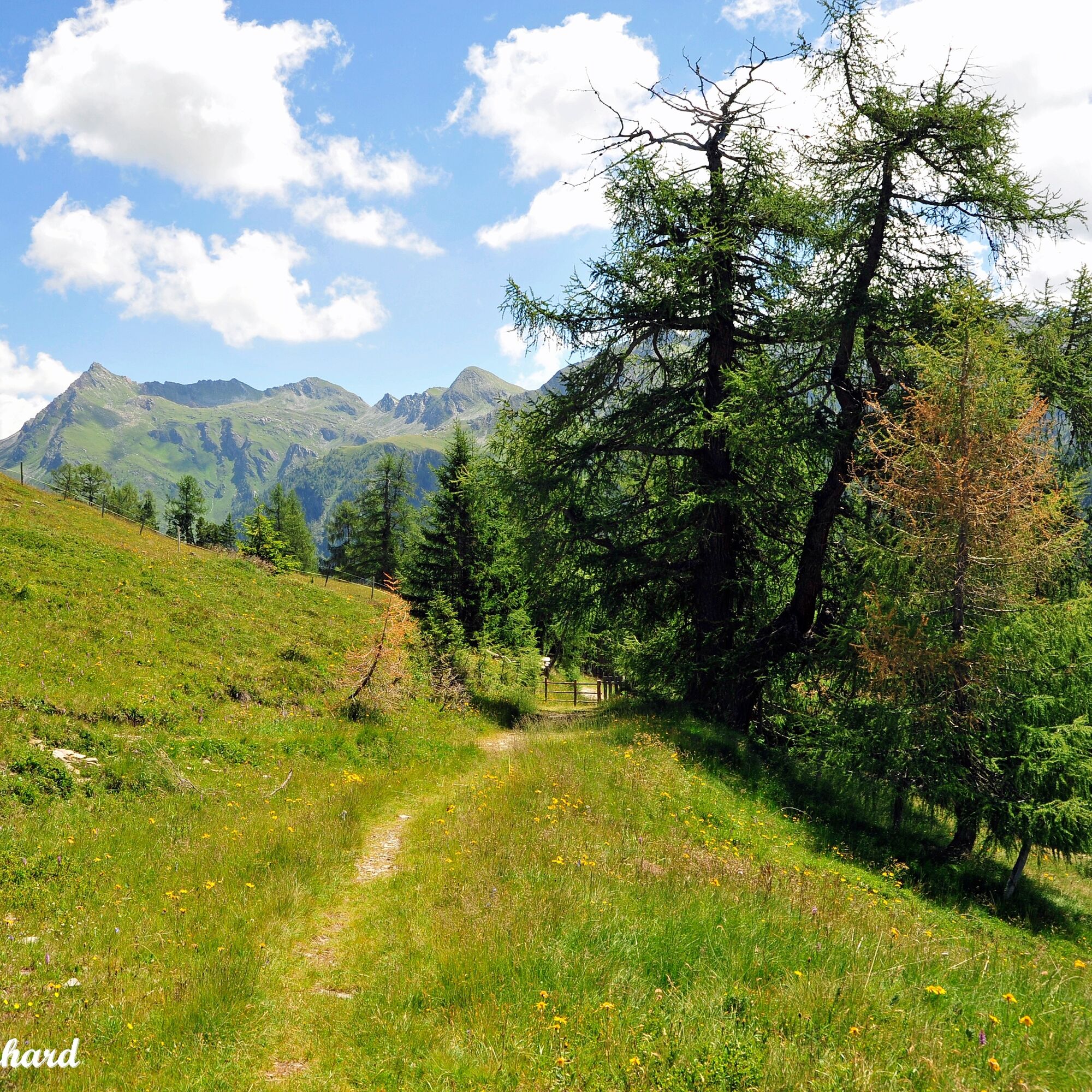
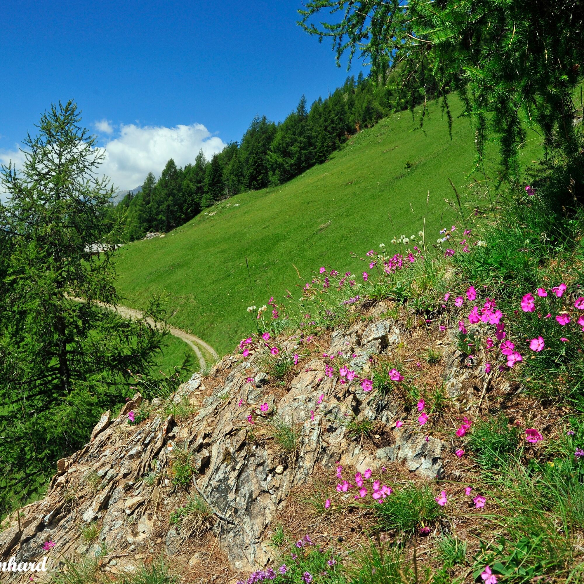
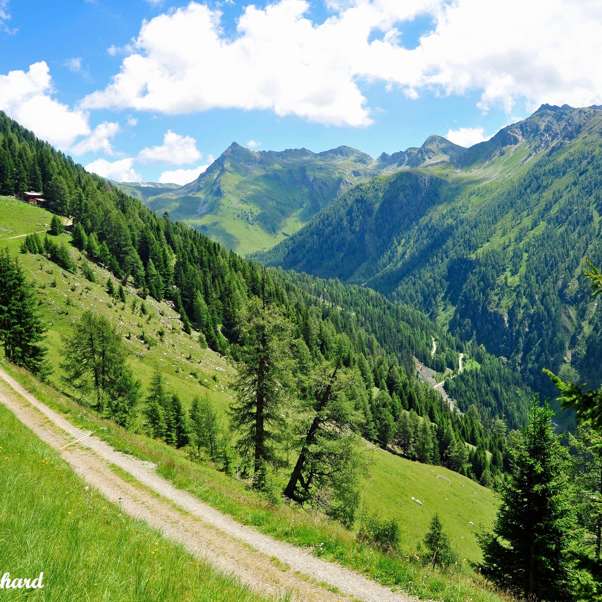


Starting from the Sadnighaus, we first ascend through cooling mountain forest. Passing the Wollaalm, continuing with a dreamlike view of the Schober Group and the Lienz Dolomites, into the enchanting alpine meadow area of the Astental. The hiking trail leads almost flat along the slopes of the Mohar to the Gasthaus Glocknerblick. A visit to the nearby, picturesque Antonius Chapel is recommended here first!
For the return, you can also use the gravel road that brings us back to the starting point.
Da
Da
The Sadnighaus can be reached by car from Mörtschach in the Möll Valley via a paved road.
Parking lot at the Sadnighaus.
Find more stunning national park hikes at www.nationalpark-hohetauern.at/wandern!
This hike can be ideally combined with the Astener Moos nature trail!
 Pridobite vpogled
Vedno v živo na mestu z več kot 9.500 spletnimi kamerami. bergfex Kot uporabnik Pro si lahko zdaj ogledate ustrezne spletne kamere za številne izlete v aplikaciji izleti iz. Tako si lahko neposredno ogledate trenutne razmere.
Pridobite vpogled
Vedno v živo na mestu z več kot 9.500 spletnimi kamerami. bergfex Kot uporabnik Pro si lahko zdaj ogledate ustrezne spletne kamere za številne izlete v aplikaciji izleti iz. Tako si lahko neposredno ogledate trenutne razmere.

Priljubljeni izleti v okolici
-
4.9
Wangennitzsee Hütte
srednjaPohodništvo 3.80 km -
4.7
Geotrail Tauernfenster
svetlobaPohodništvo 5.90 km -
4.7
Hohe Sonnblick Up
težkoPohodništvo 9.14 km -
5.0
Ederplan round from the parking lot Stronach
srednjaPohodništvo 7.19 km -
4.5
Niedersachsenhaus
srednjaPohodništvo 4.84 km -
3.8
Raggaschlucht
srednjaPohodništvo 3.44 km -
5.0
Rifflscharte - Kolmkarscharte - Bockhartscharte - Sportgastein
srednjaPohodništvo 13.5 km -
4.1
Gradental to Adolf Nossberger Hut - circular route
srednjaPohodništvo 11.1 km -
4.9
Schareck über Ostgrat
težkoVisokogorska tura 13.3 km -
4.6
Vorderer Geißelkopf
srednjaVisokogorska tura 19.1 km
Pohodništvo in sledenje


Ne zamudite ponudb in navdiha za naslednje počitnice
Vaš e-poštni naslov je bil dodan na poštni seznam.





