







Groppenstein and Rabisch Gorge
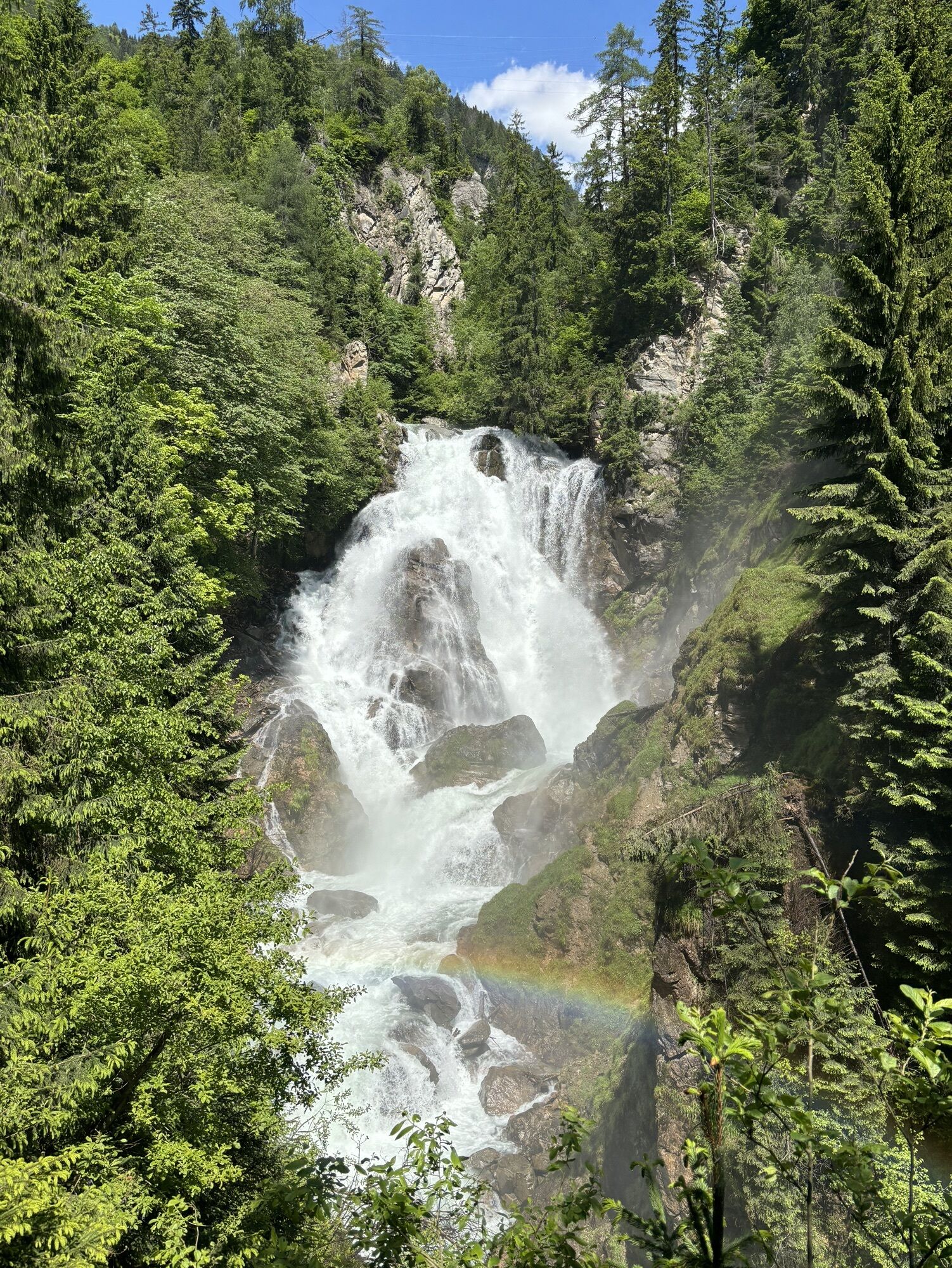
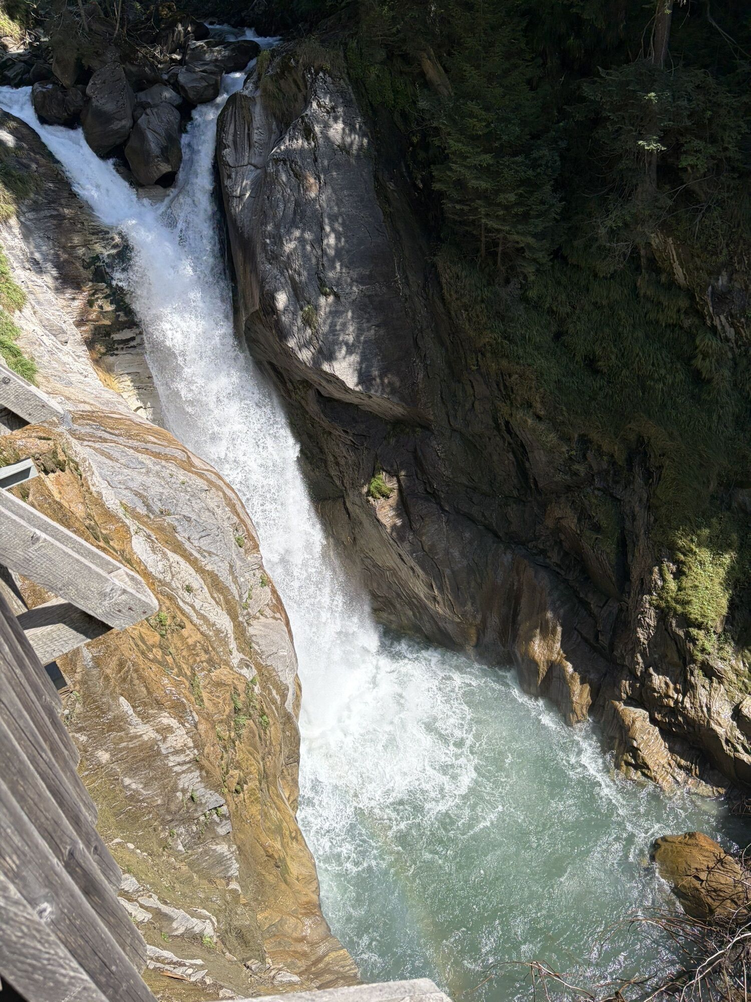
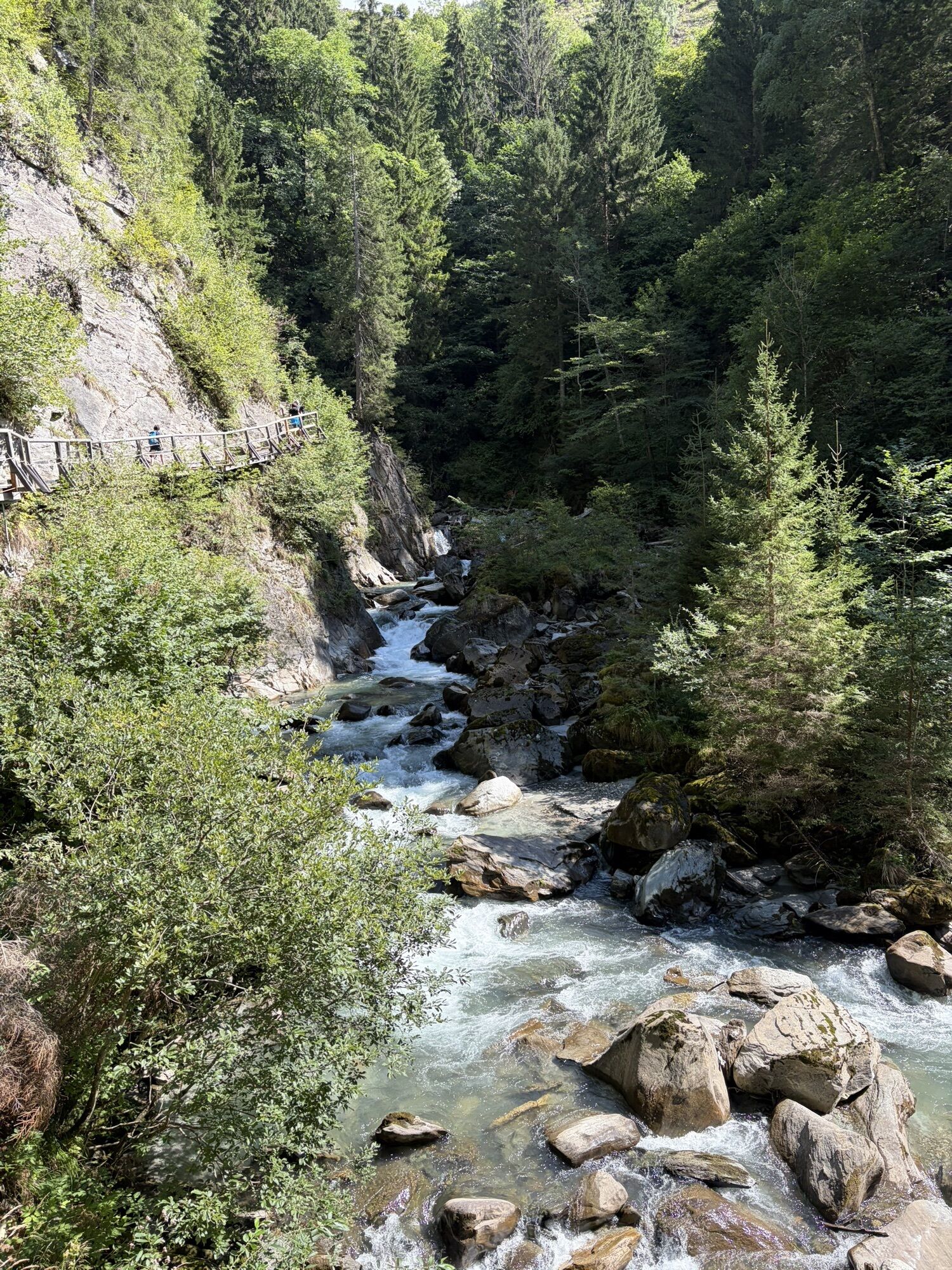
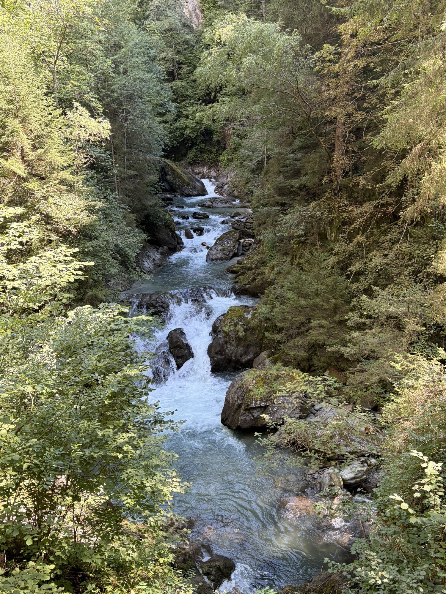
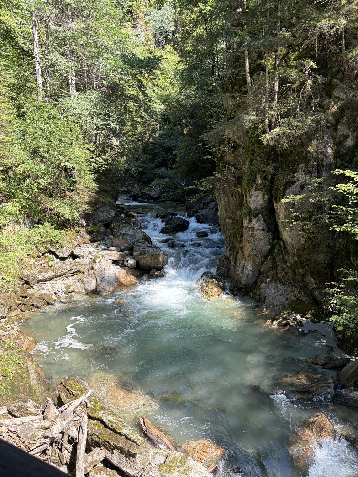
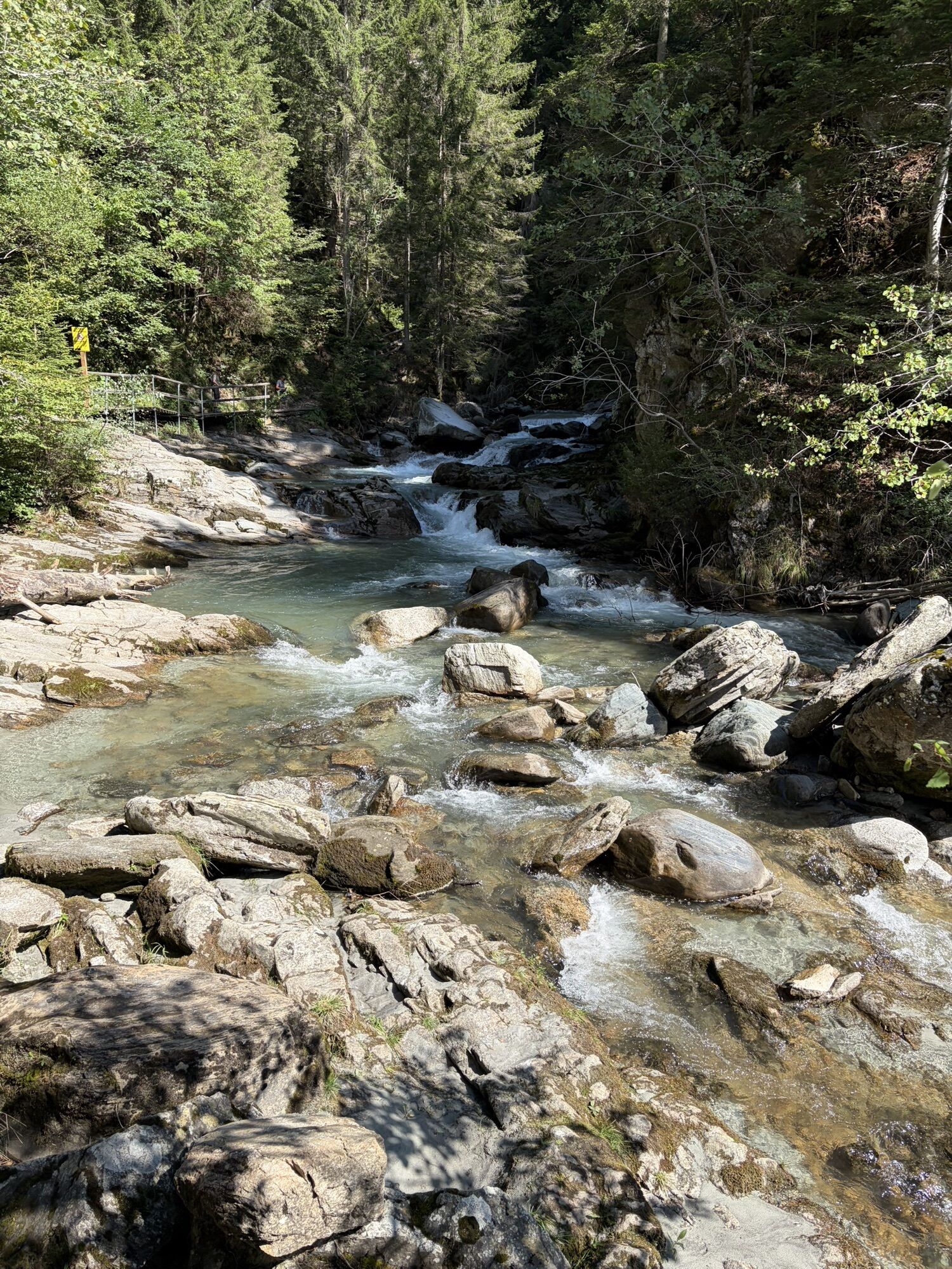
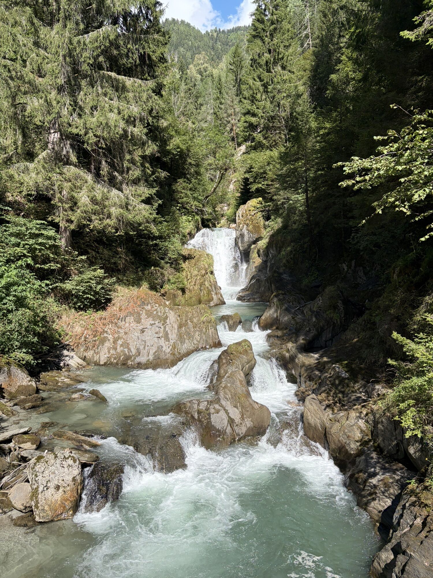
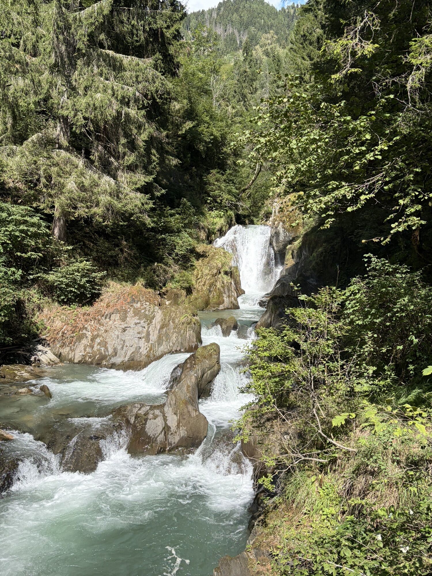
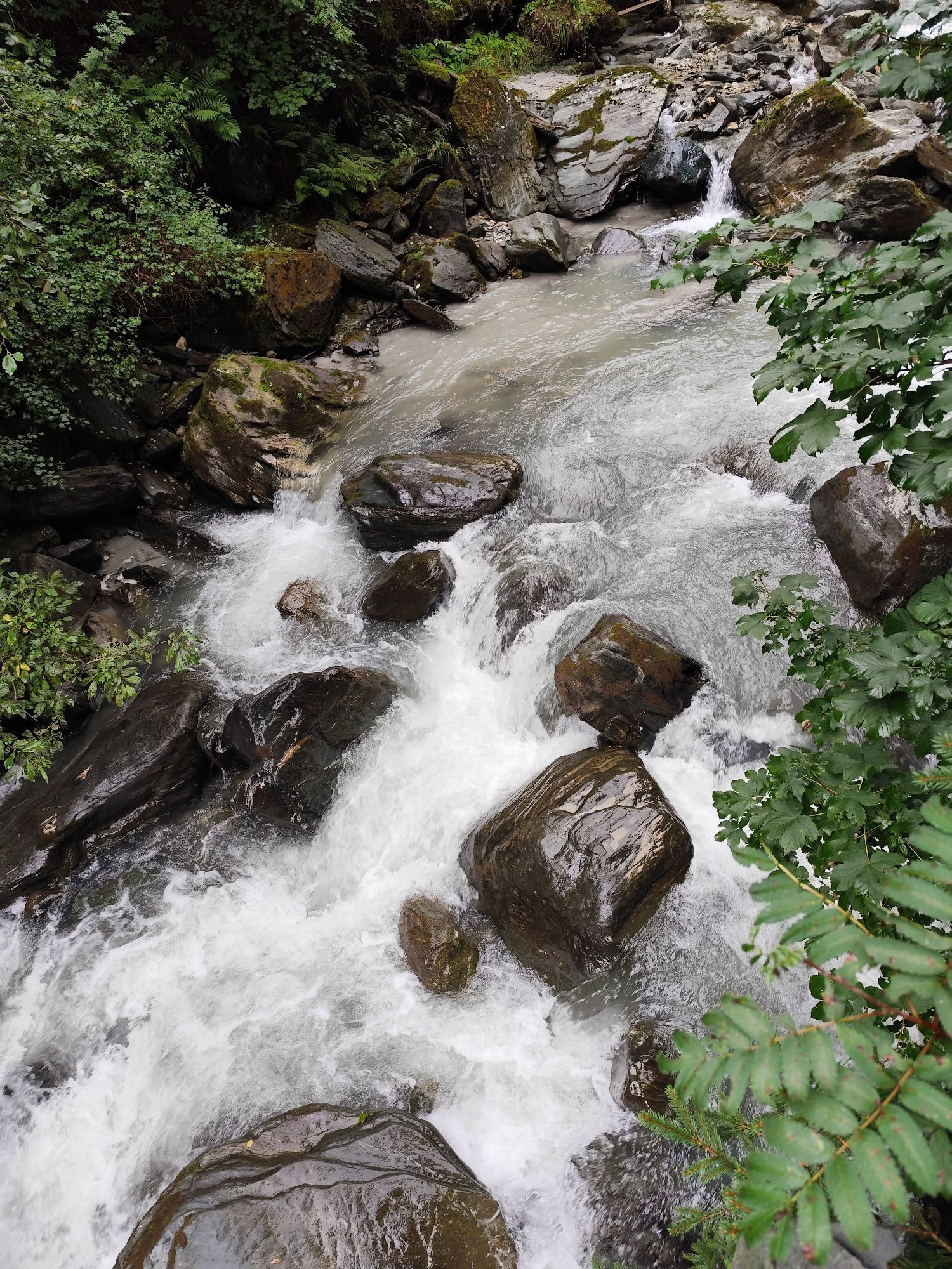
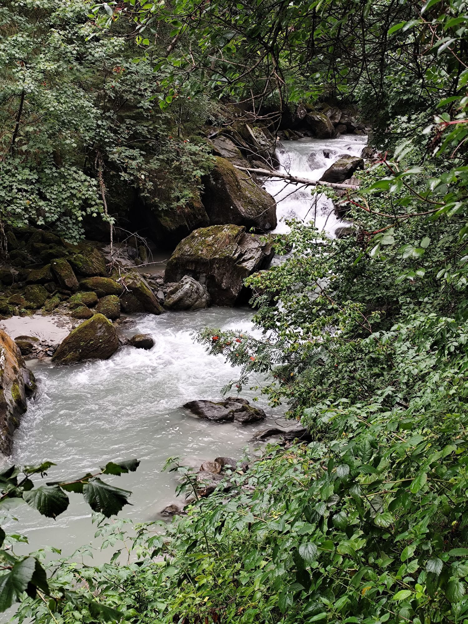
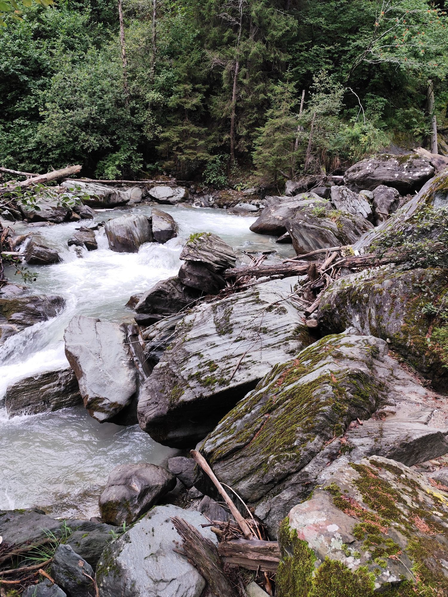
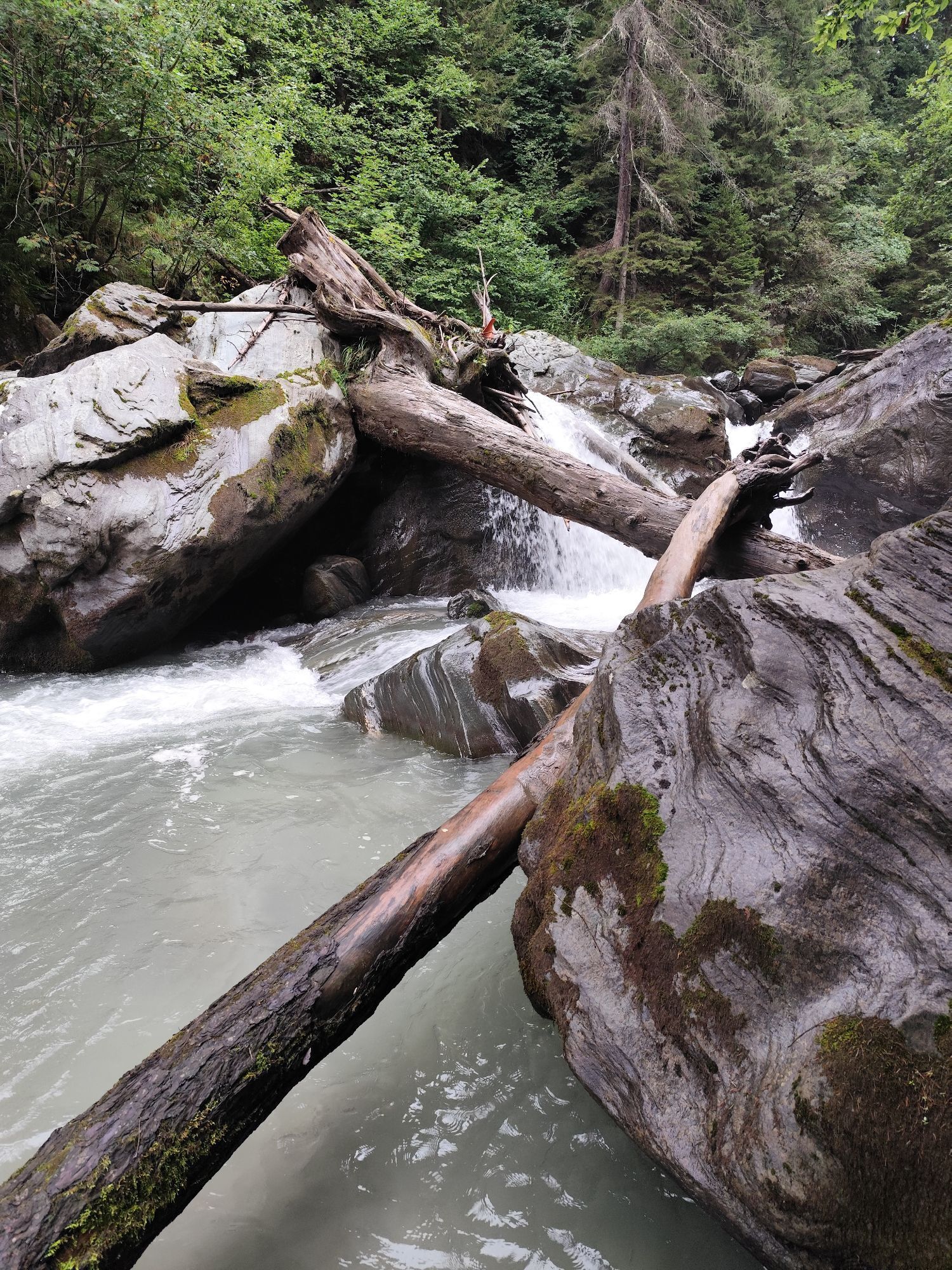
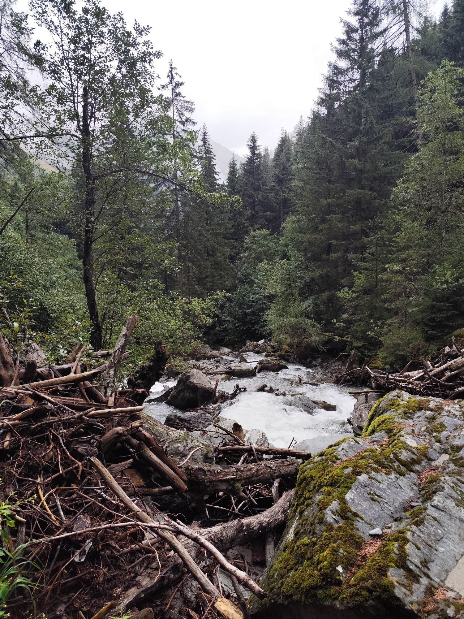
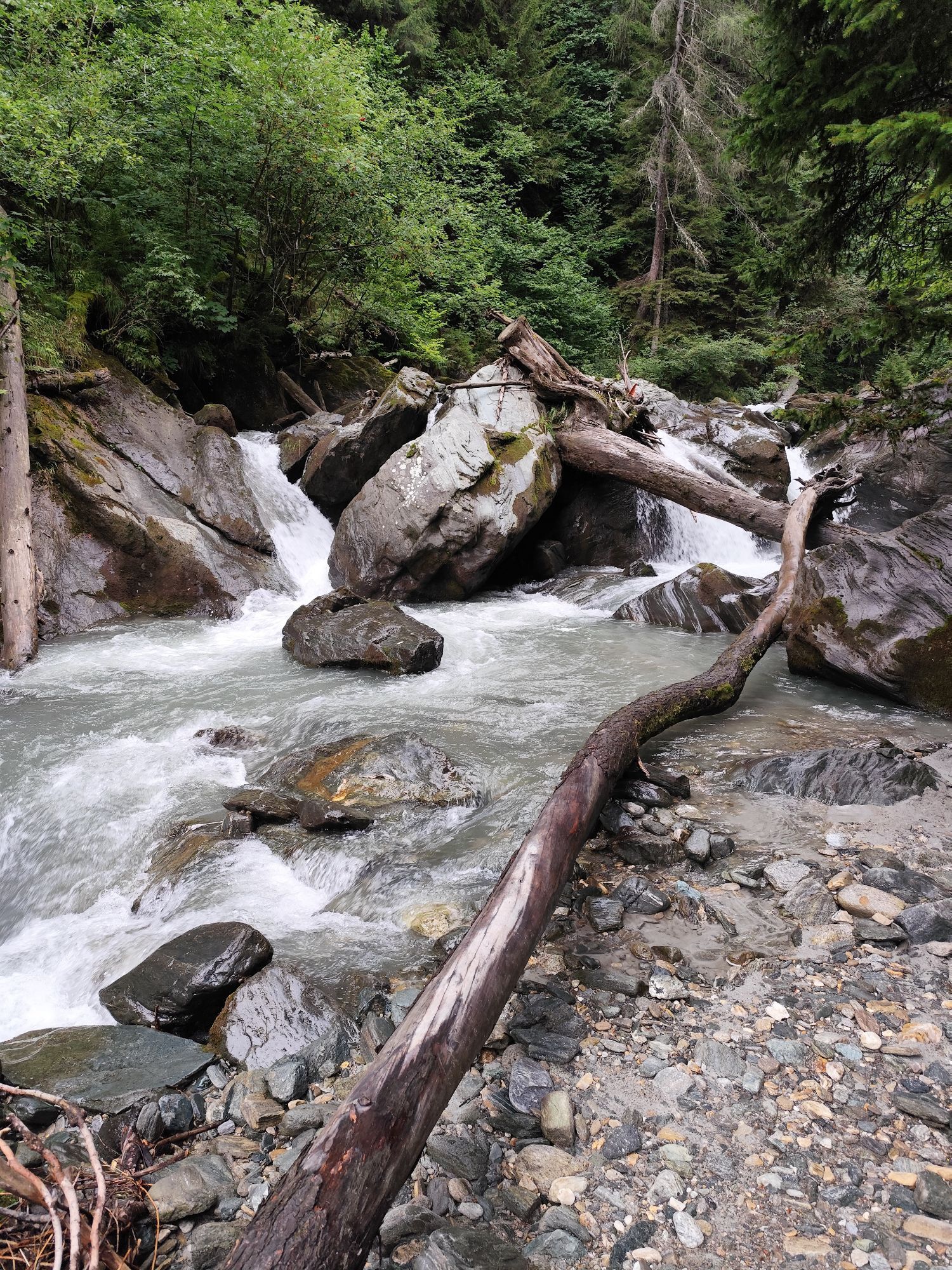
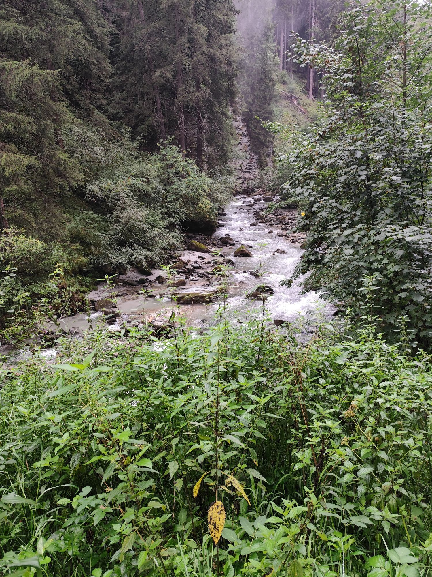
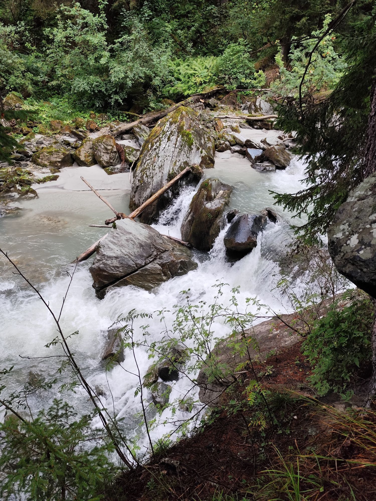
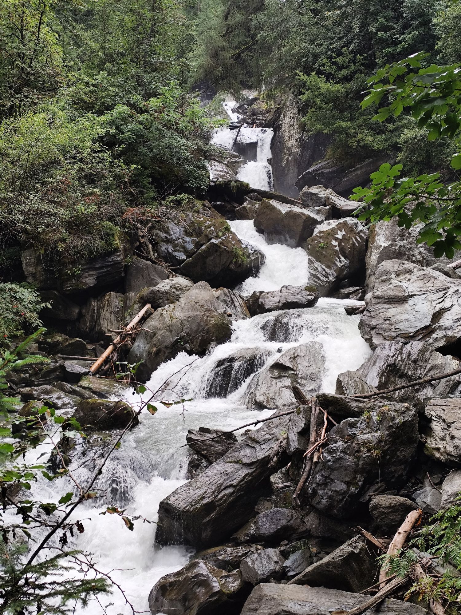
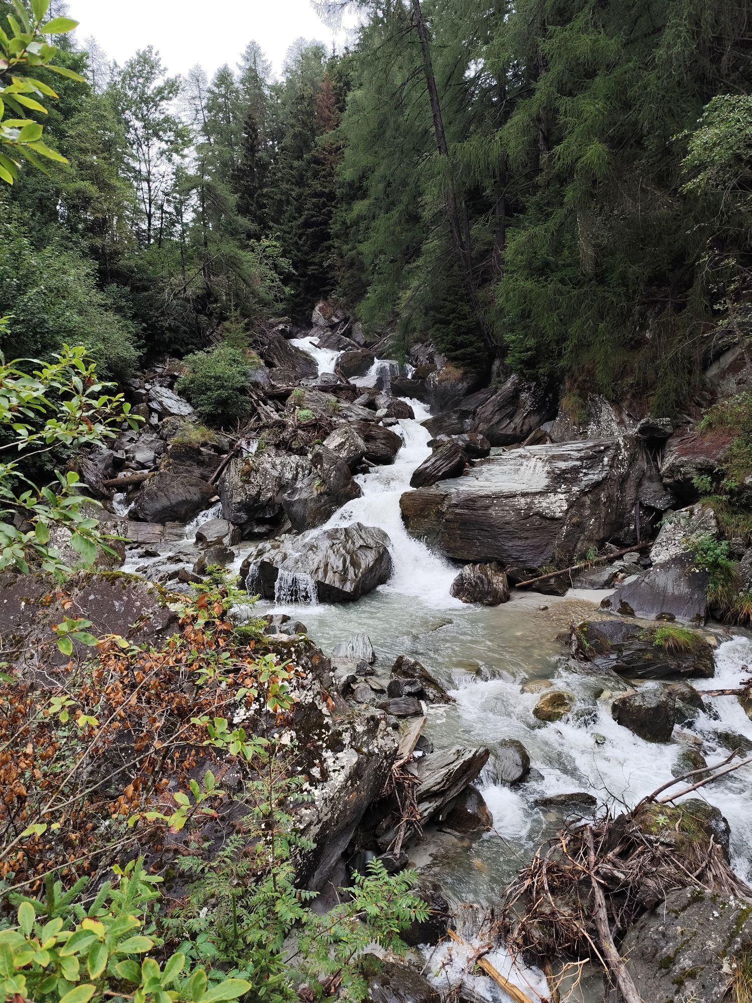
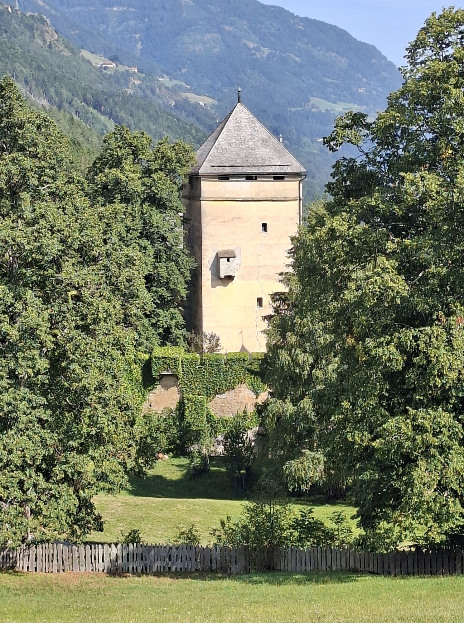
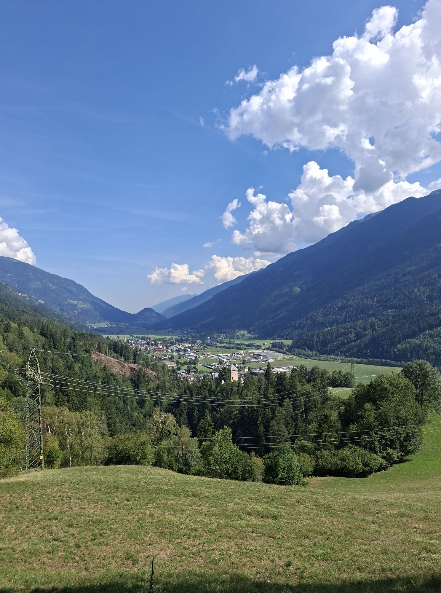
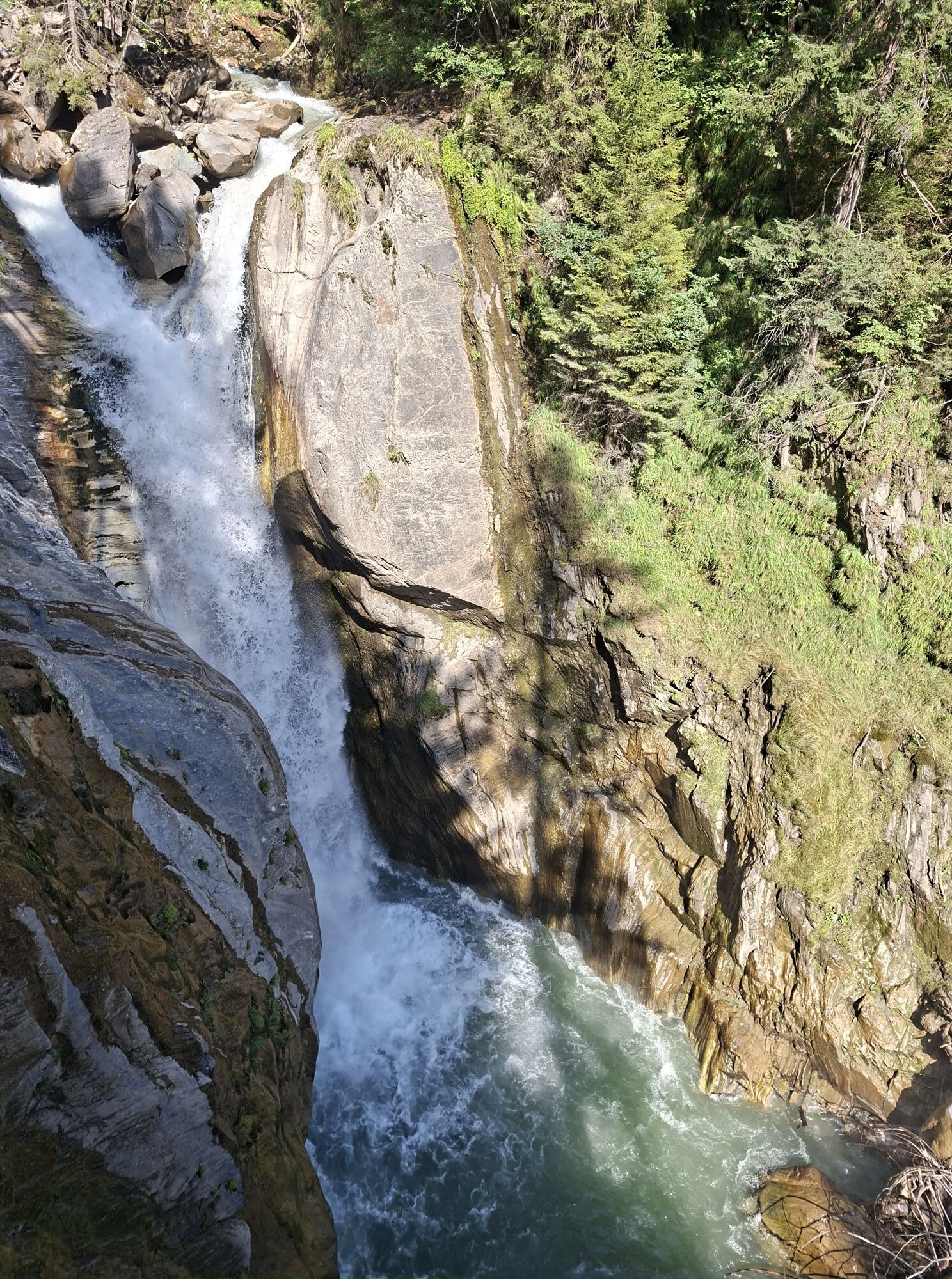
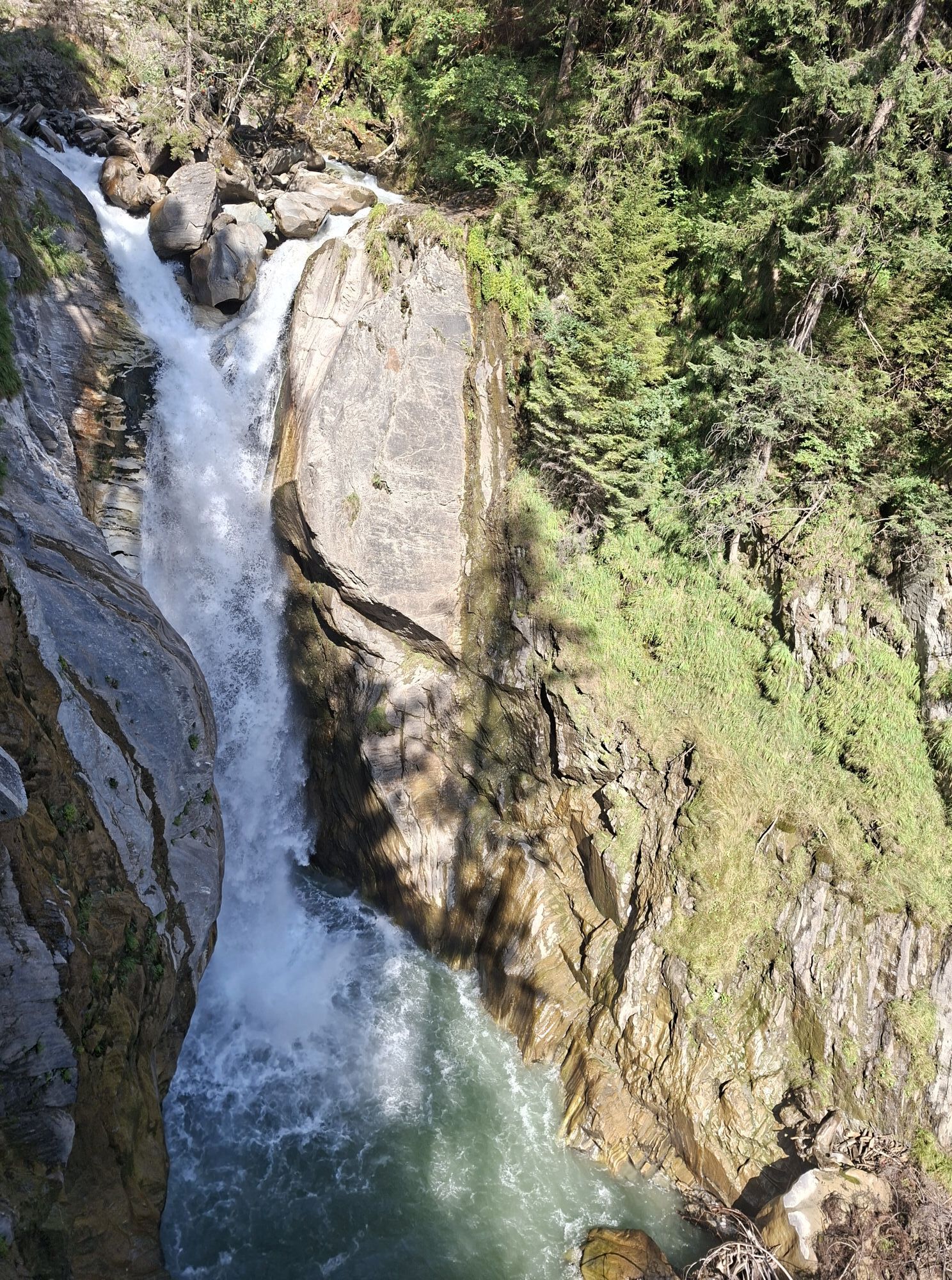
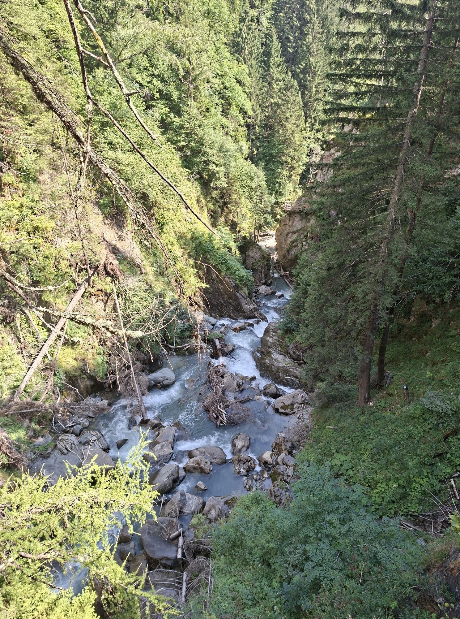
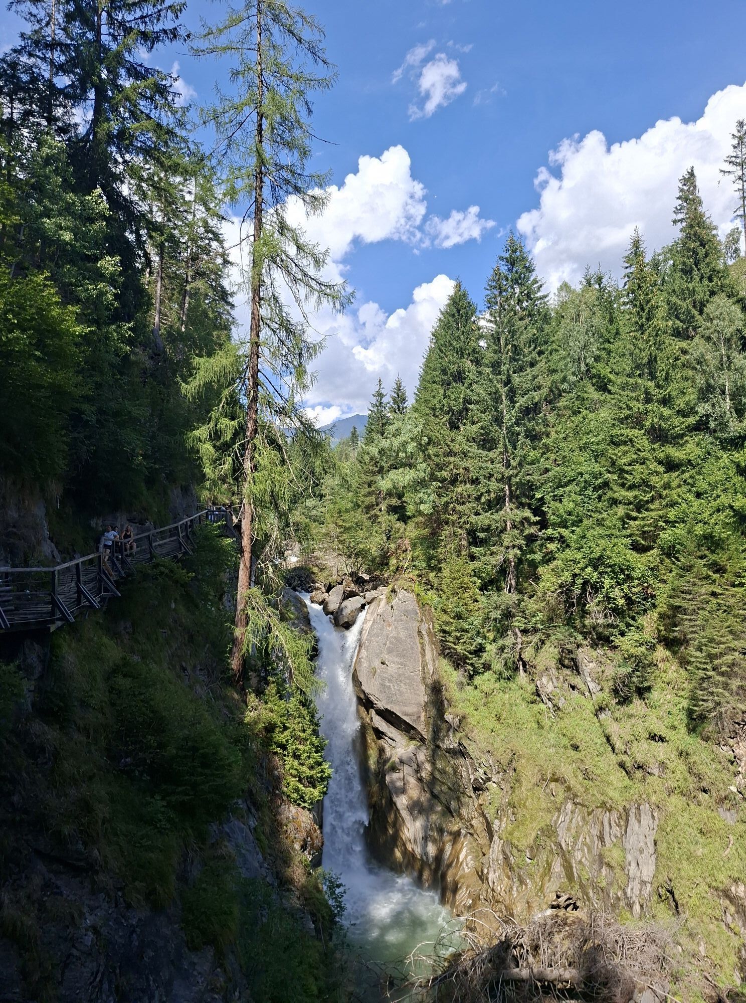
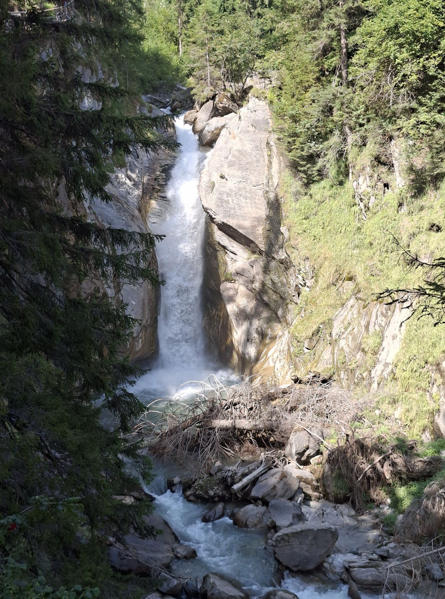
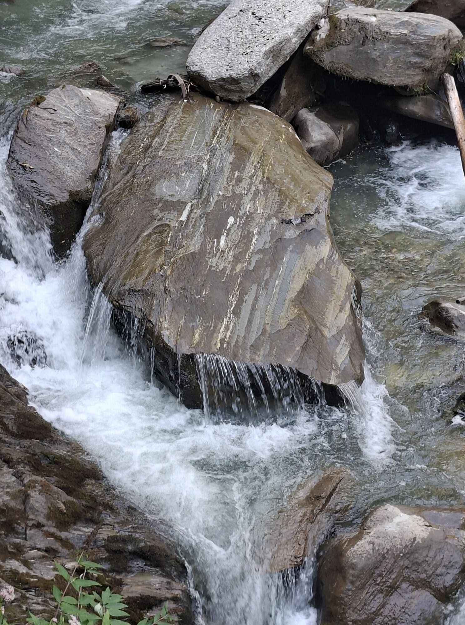
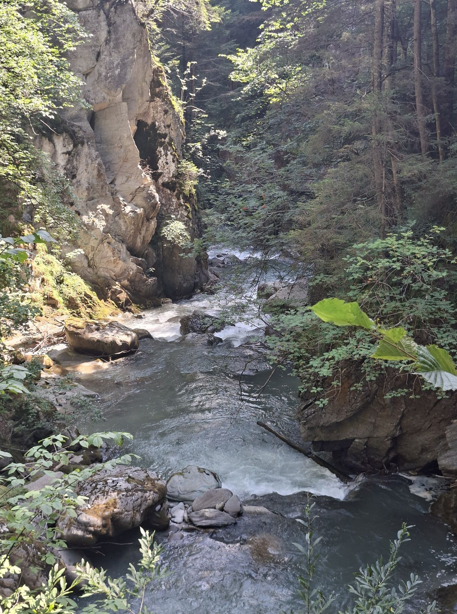
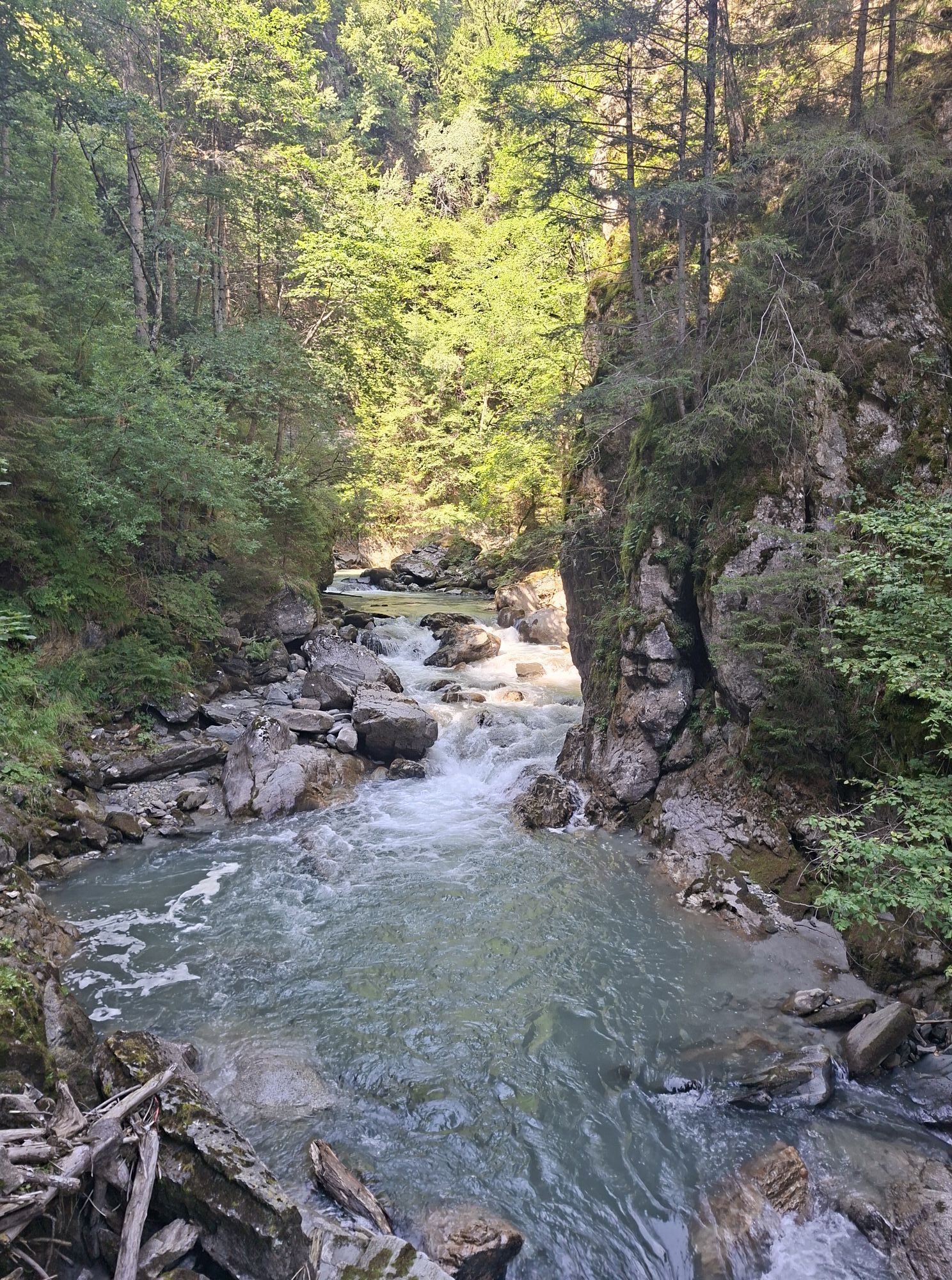
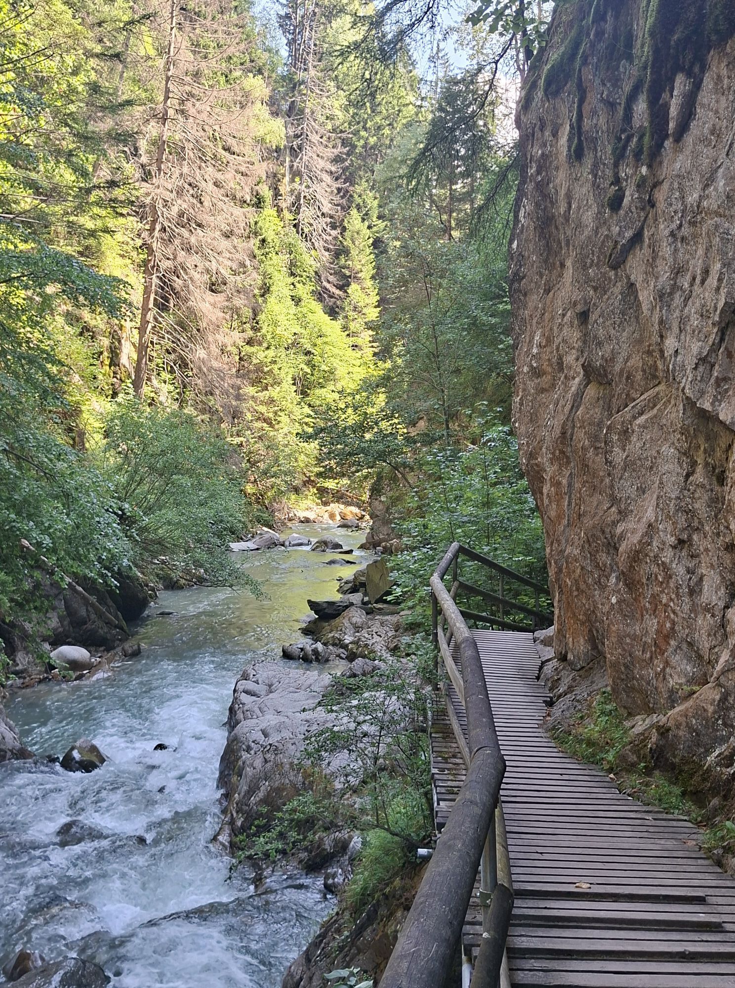
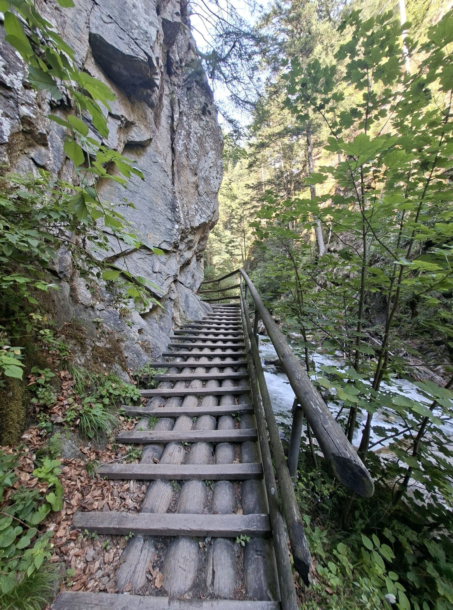
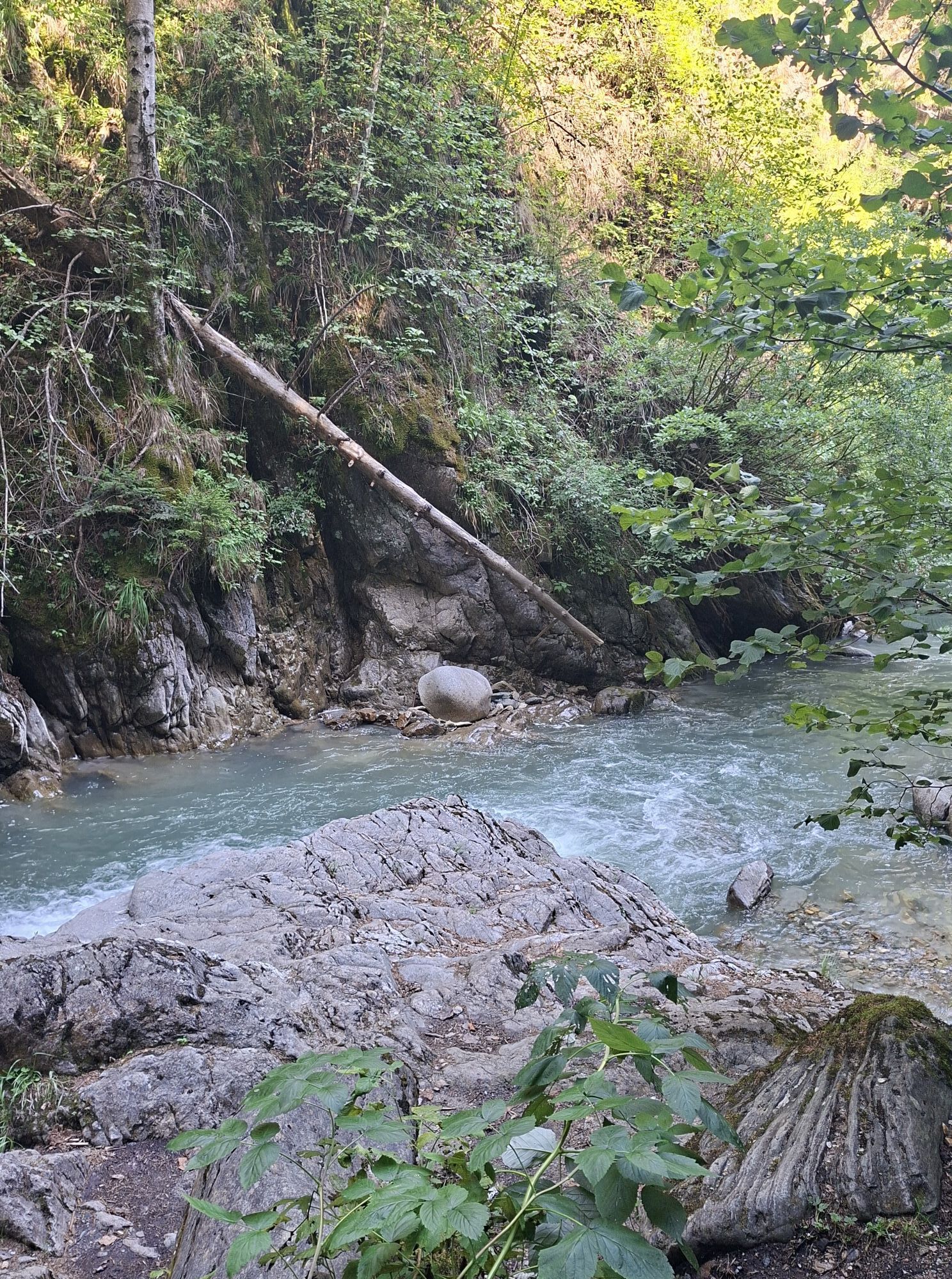
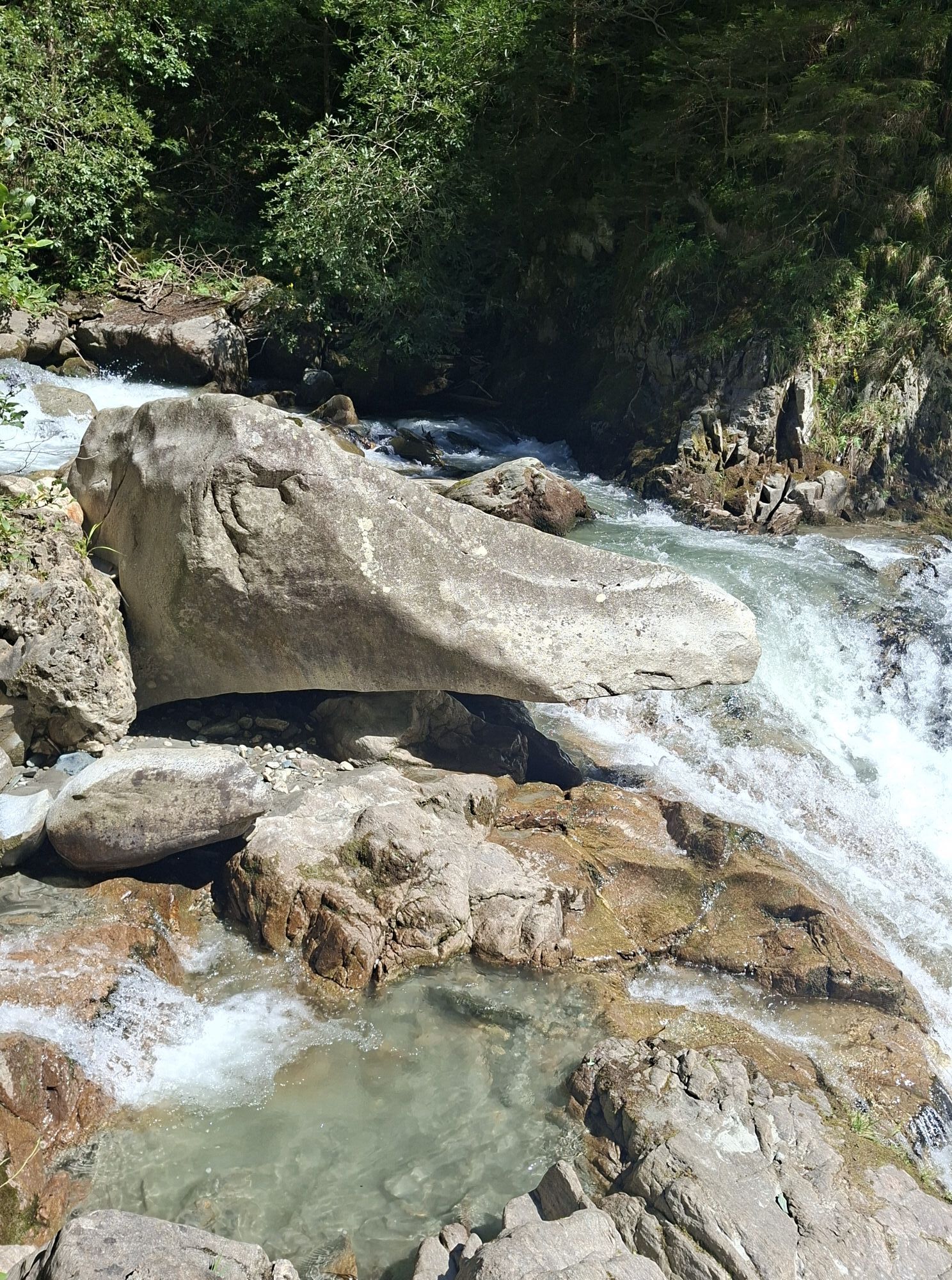
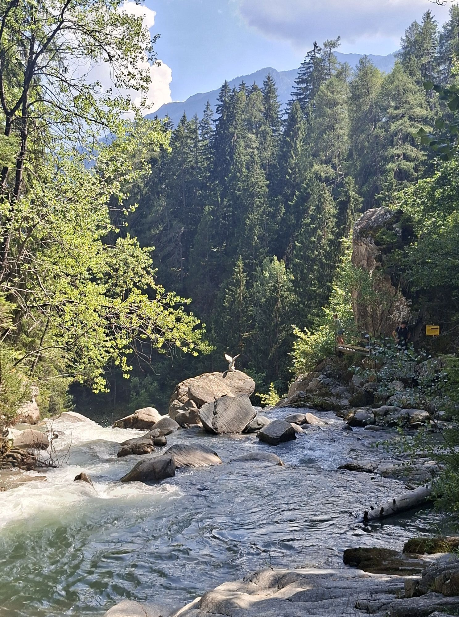
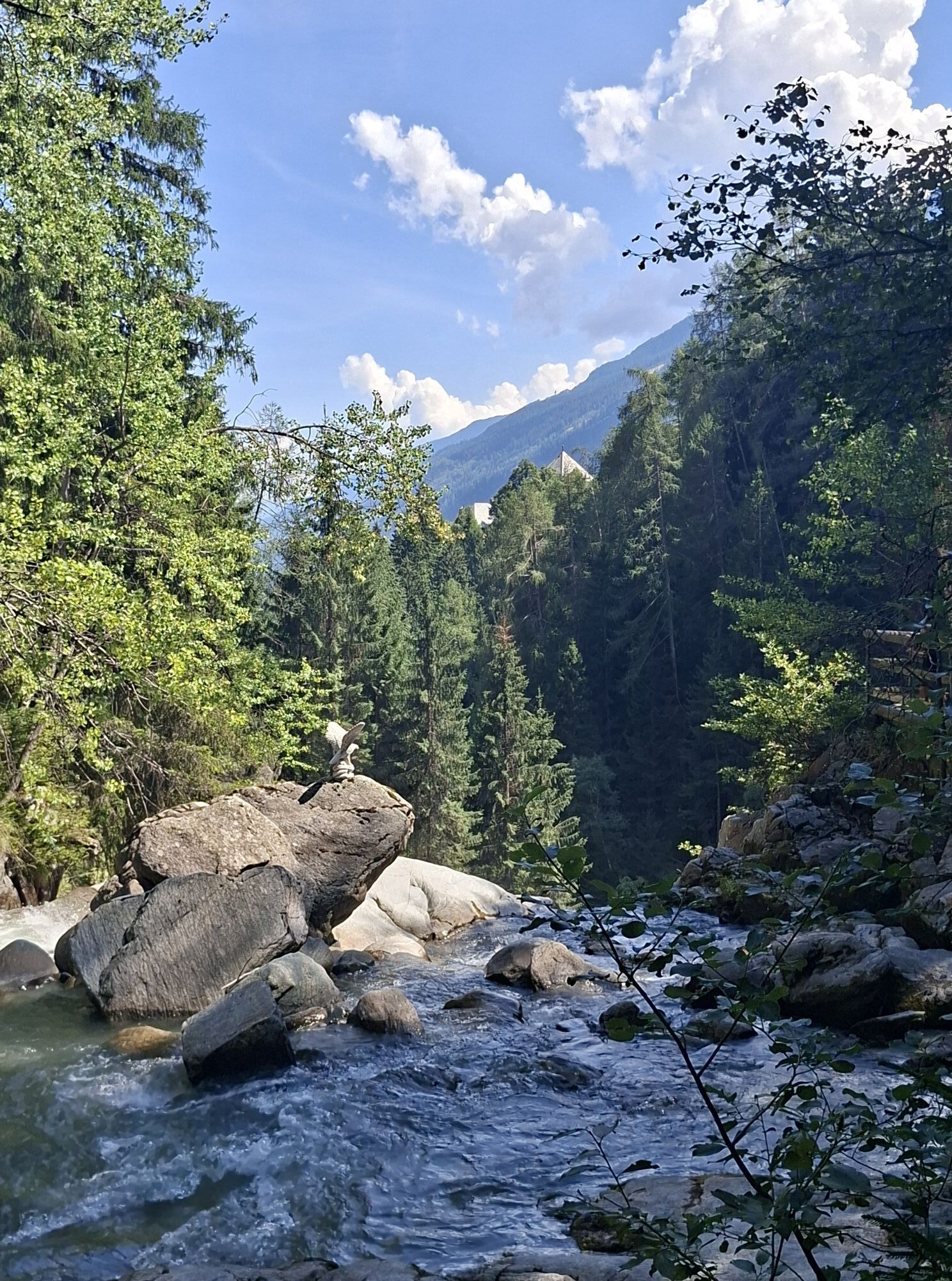
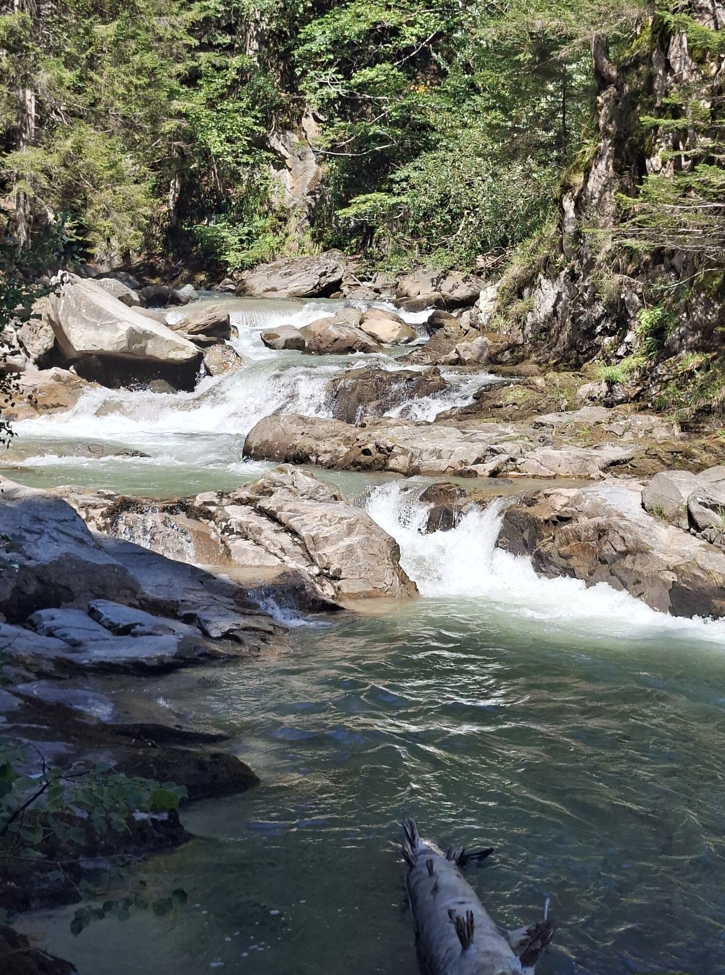
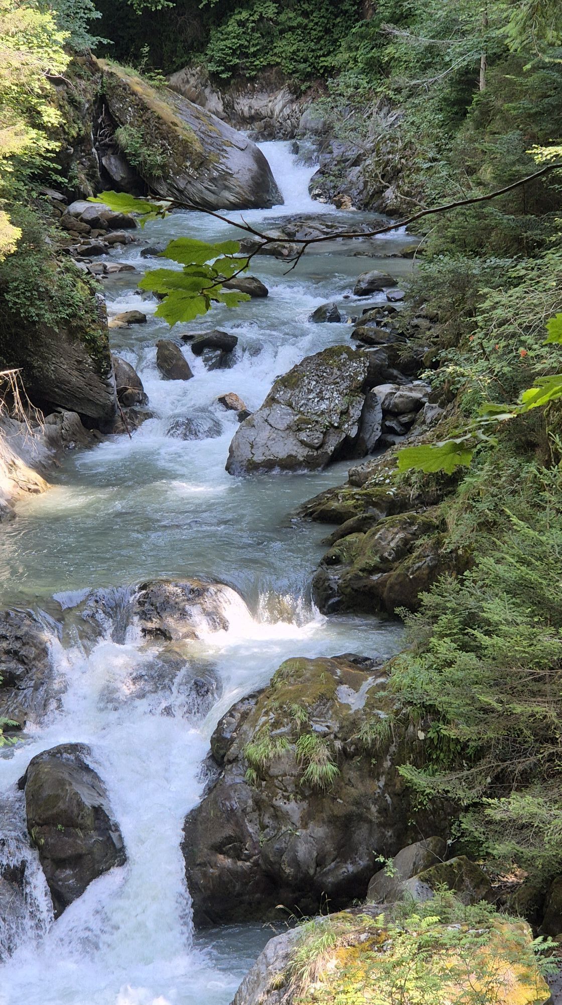
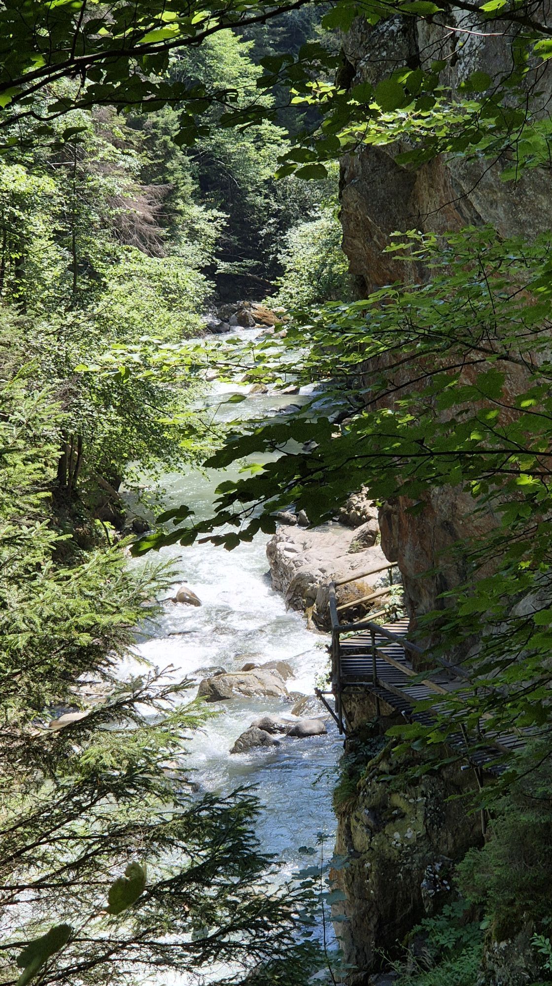
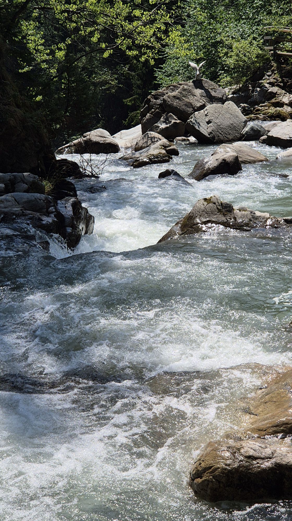
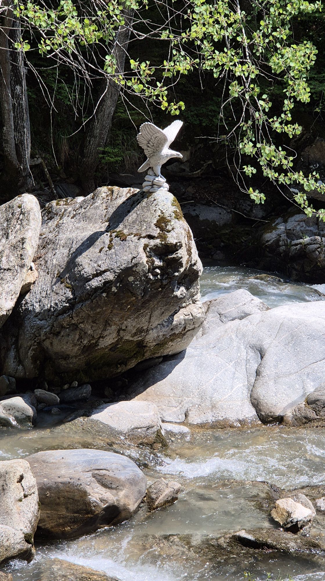
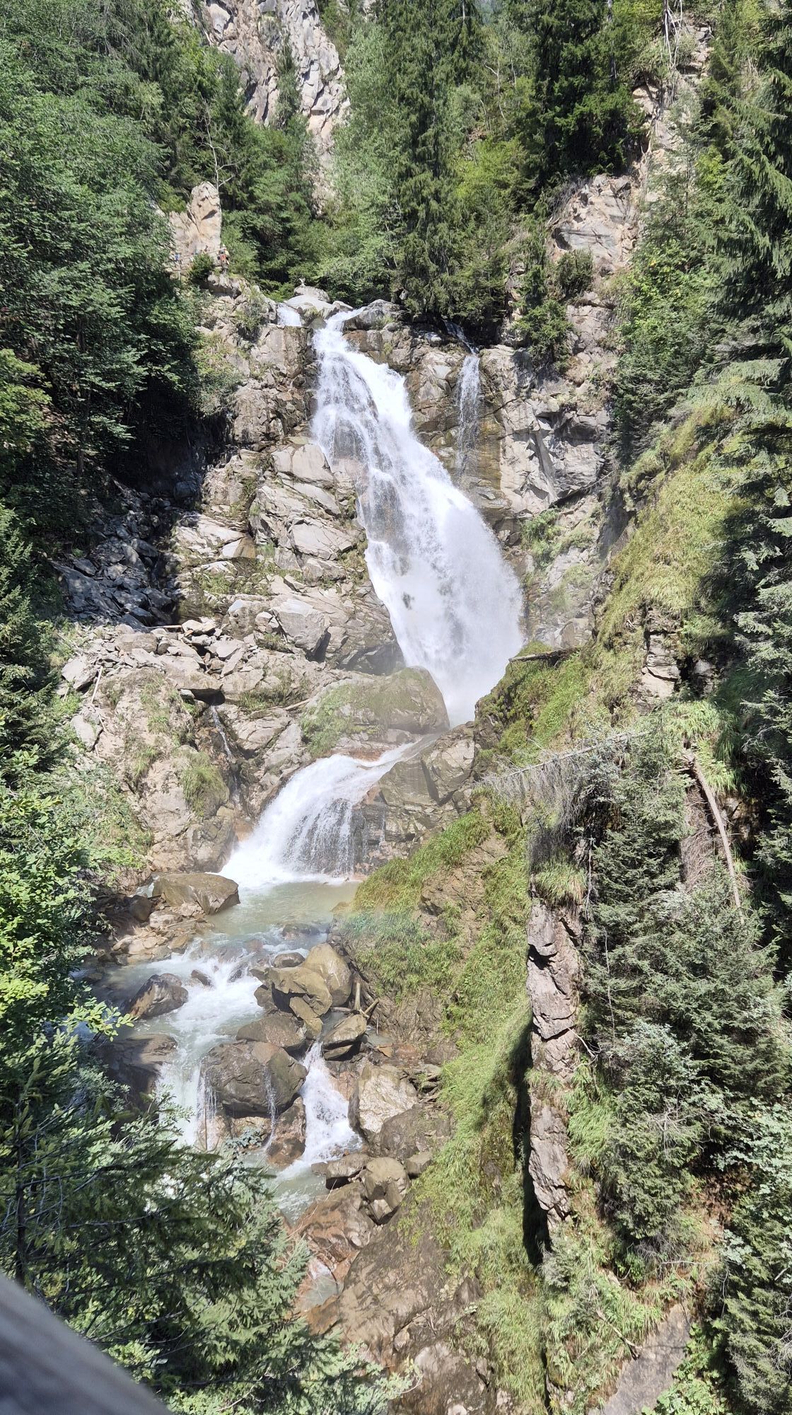
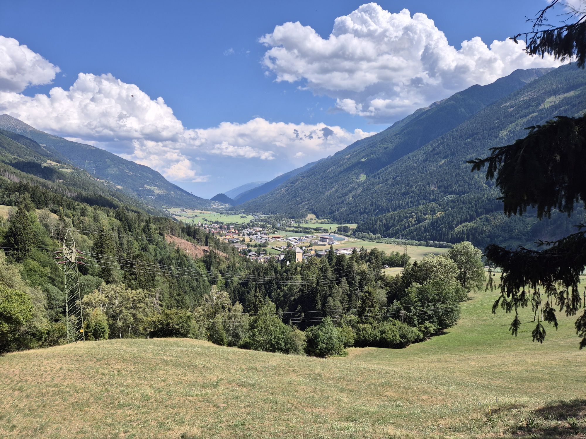
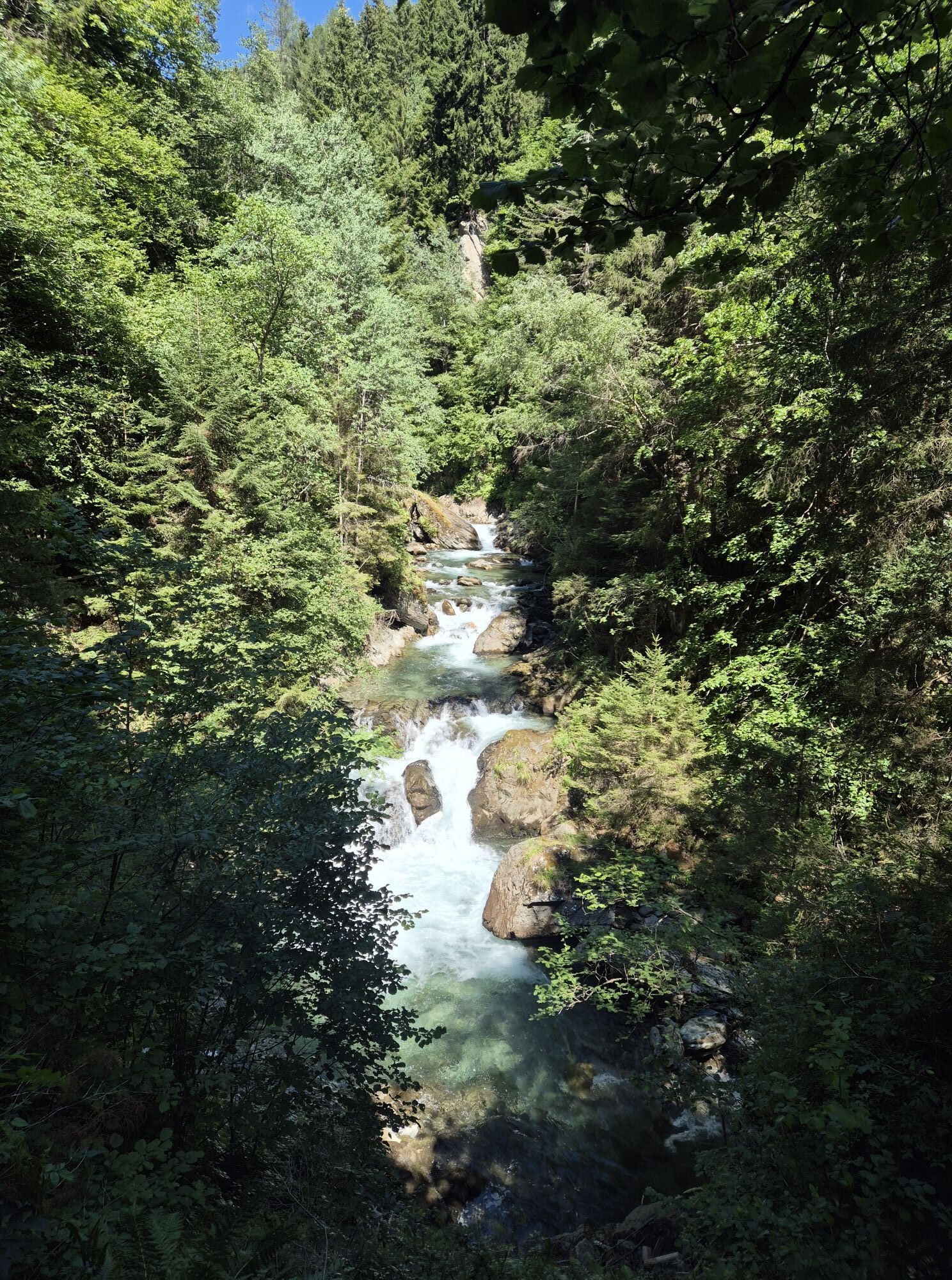
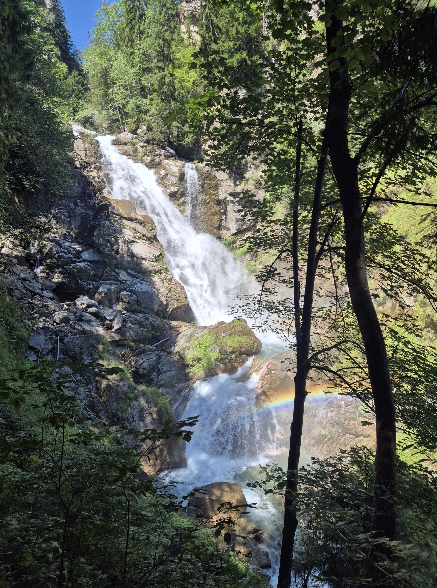
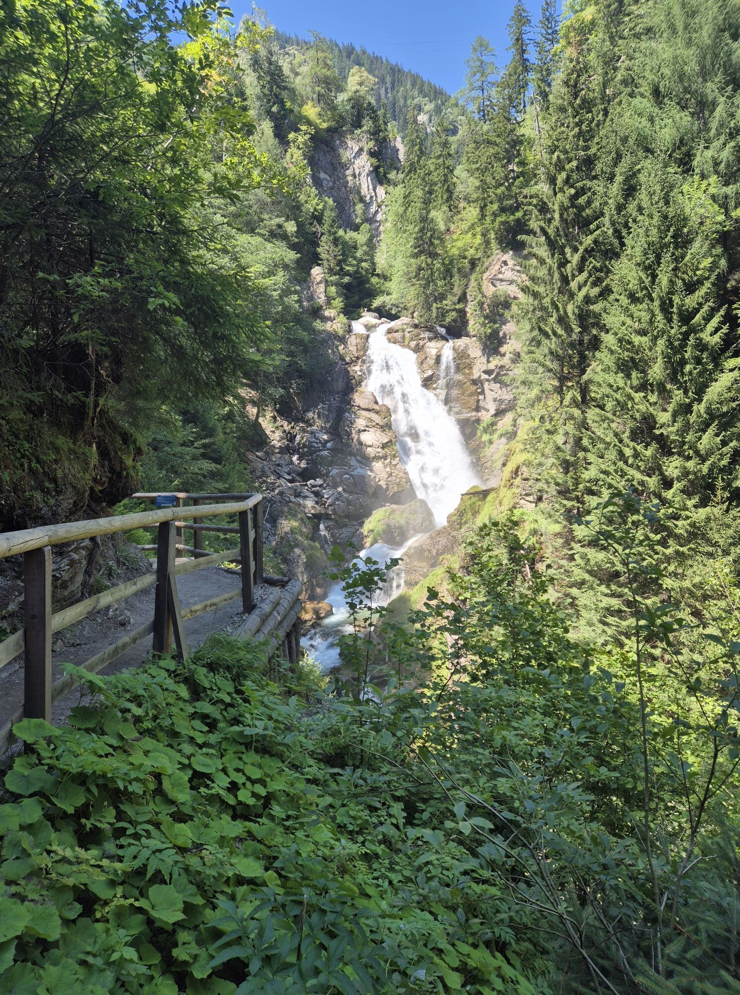
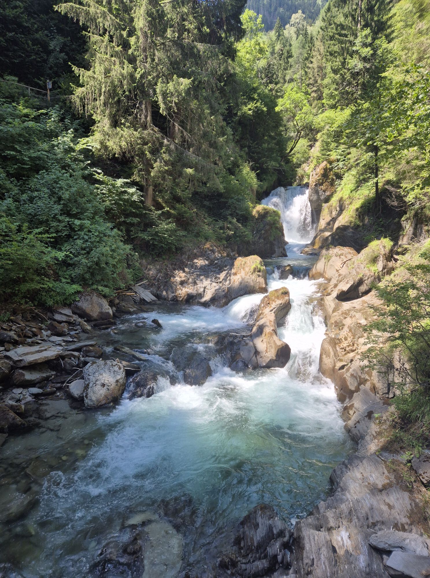
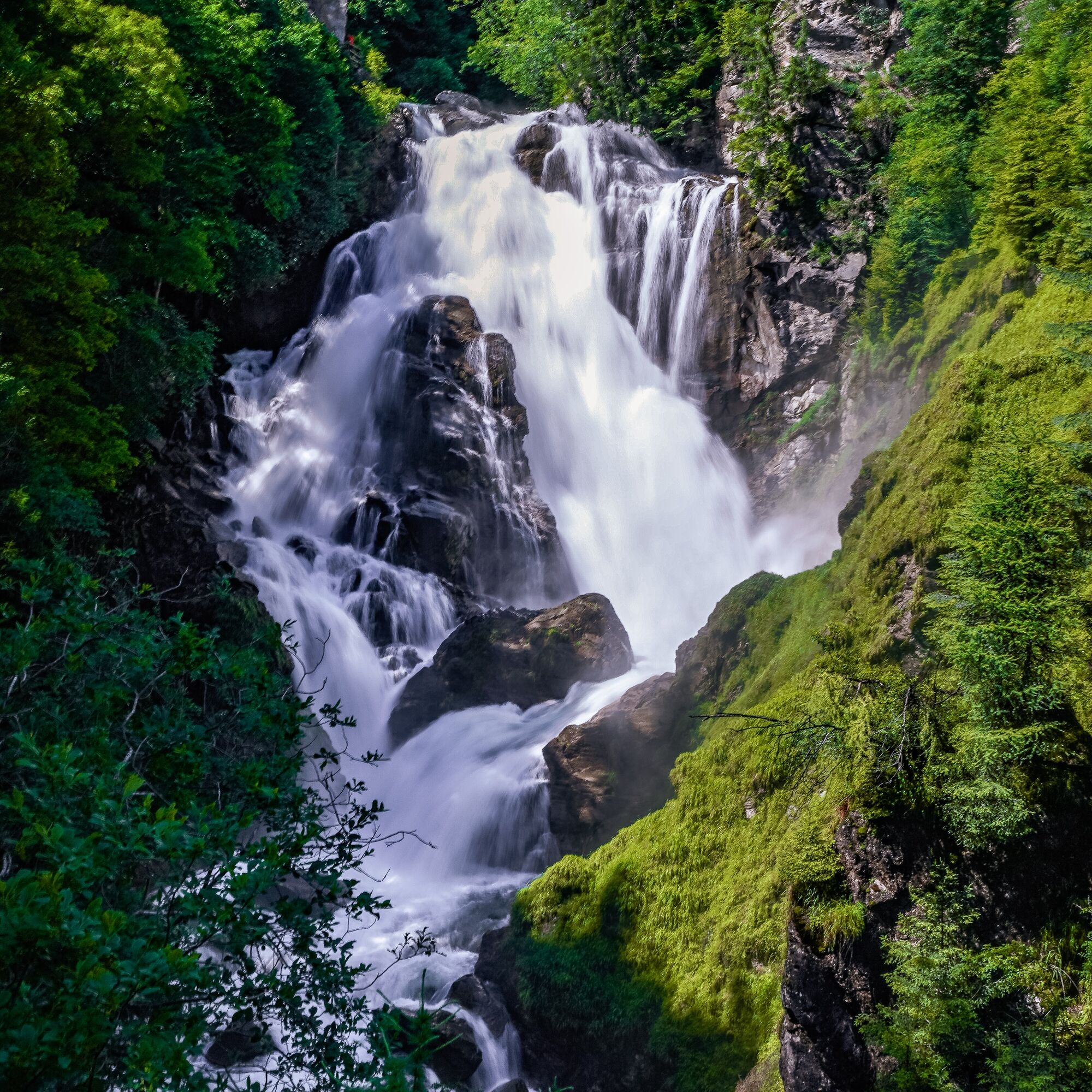
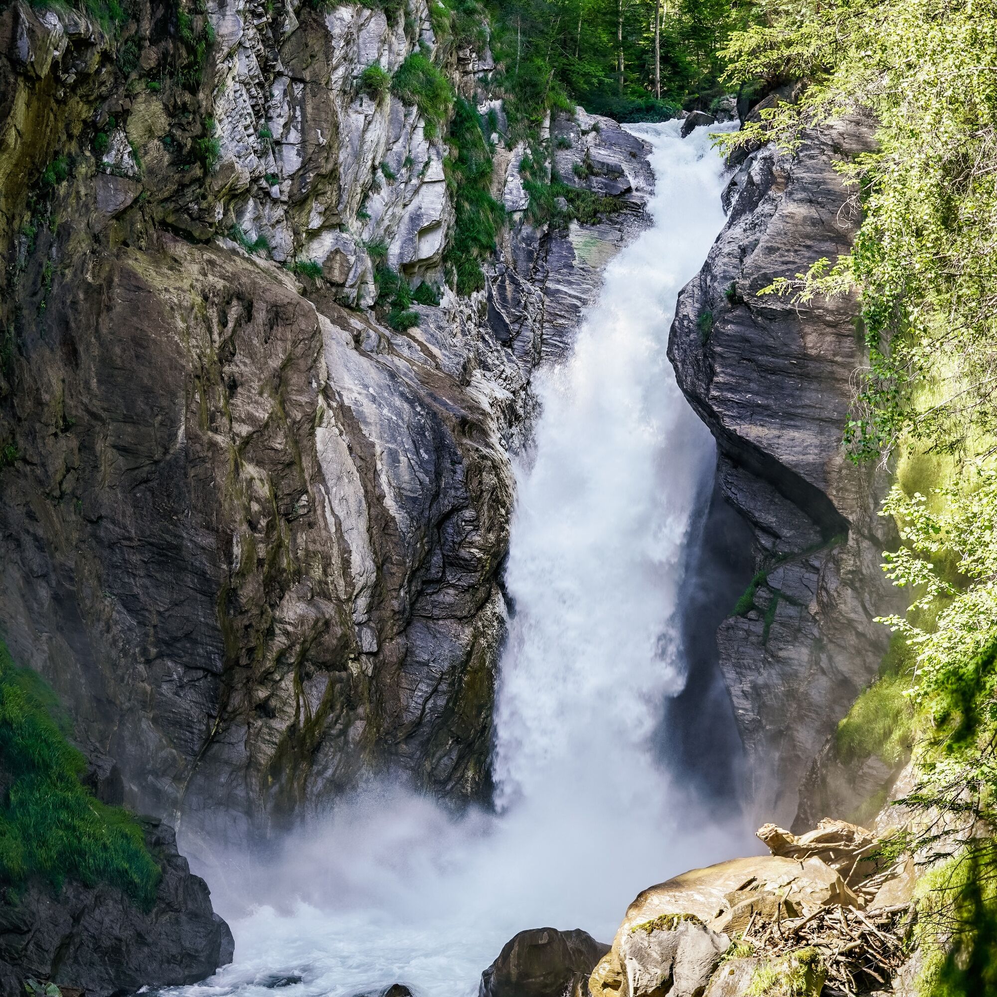
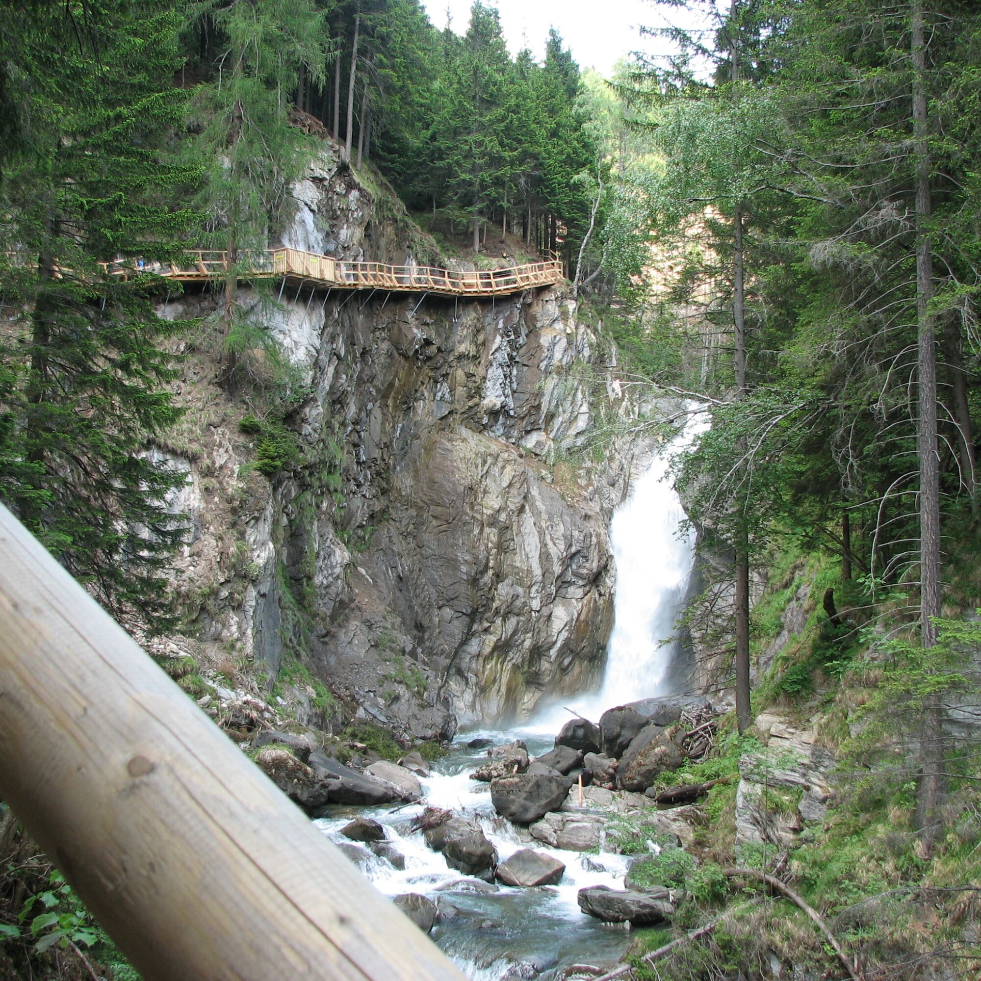
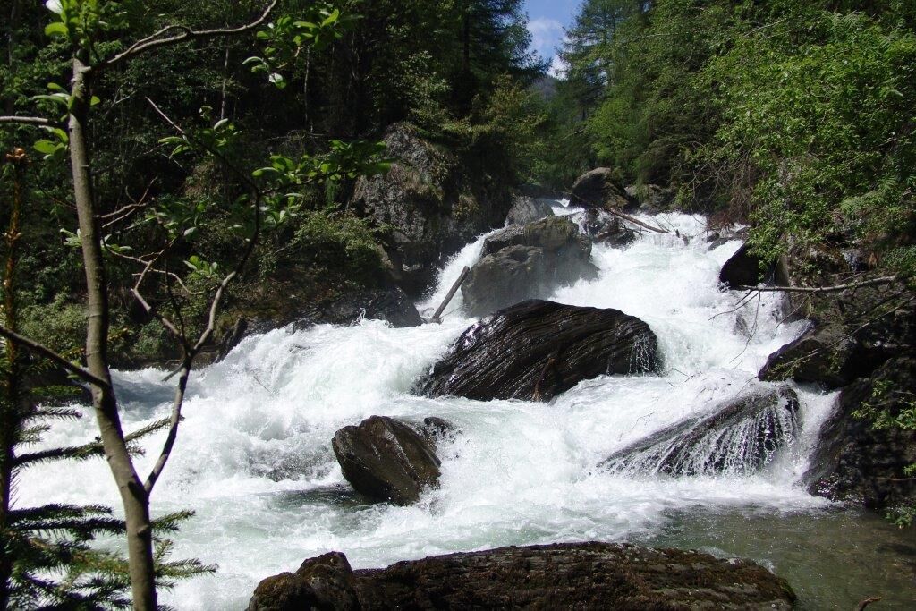
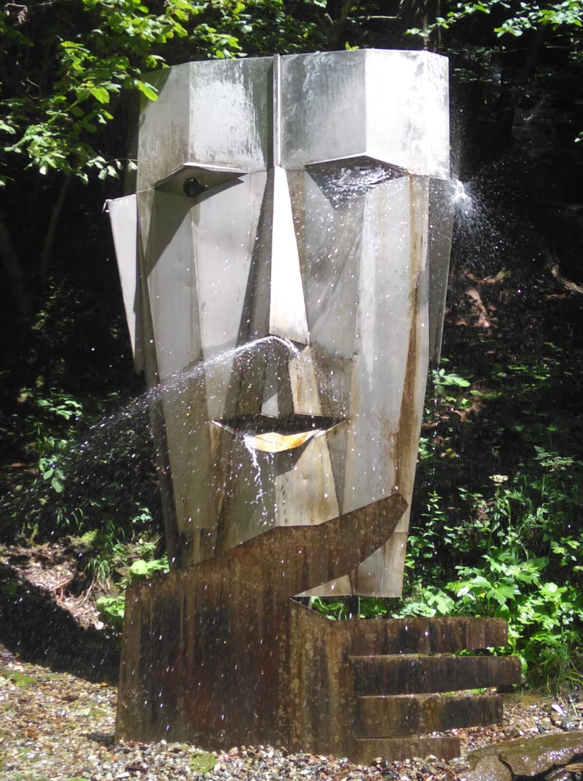
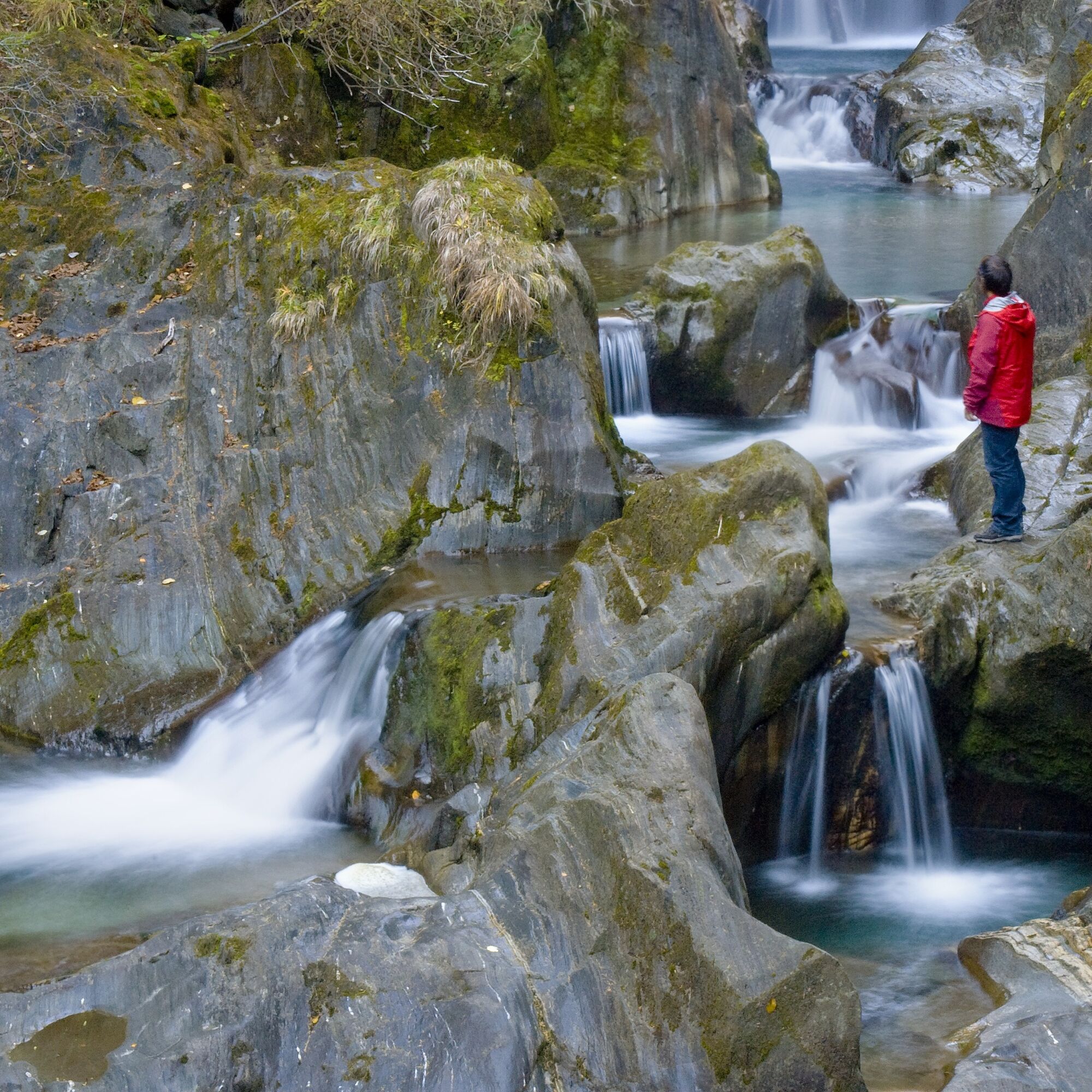

From the starting point in the village of Räuflach near Obervellach, initially on the - in terms of ascent - right bank of the stream on a gently ascending path to the first highlight of the gorge, a magical ensemble of plunge pools (rock formations washed round by water). Here we cross the stream on a bridge and climb up a few switchbacks until the view of the Great Groppensteiner Waterfall opens for the first time. On an airy boardwalk, we reach above the mighty waterfall.
Now again somewhat flatter, mostly on boardwalks, directly above the water, through the very narrow gorge here.
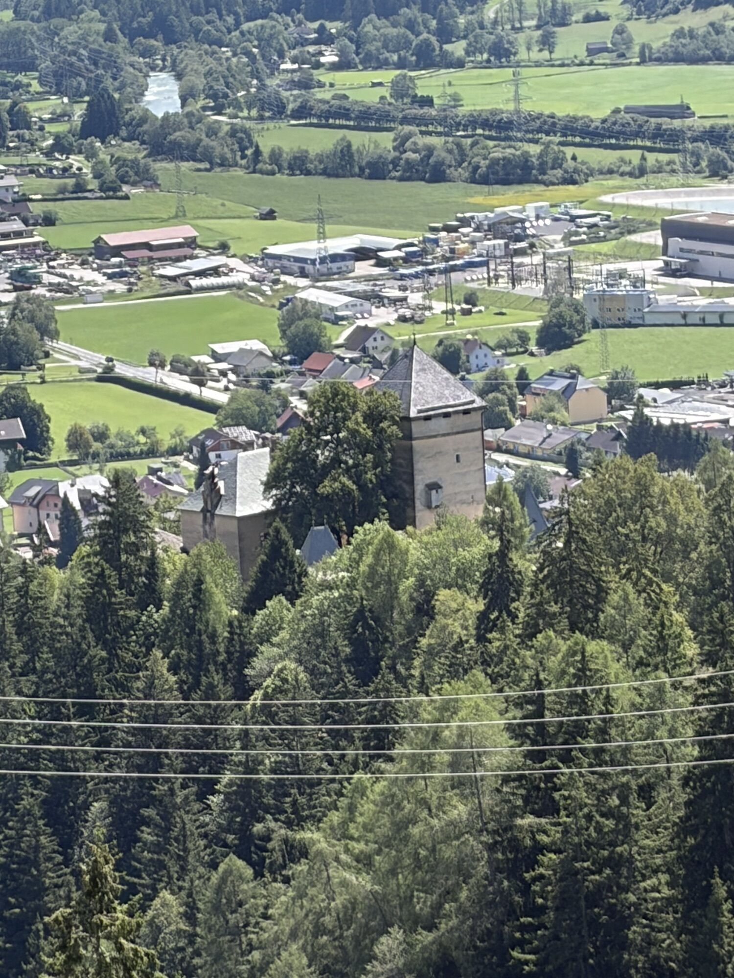
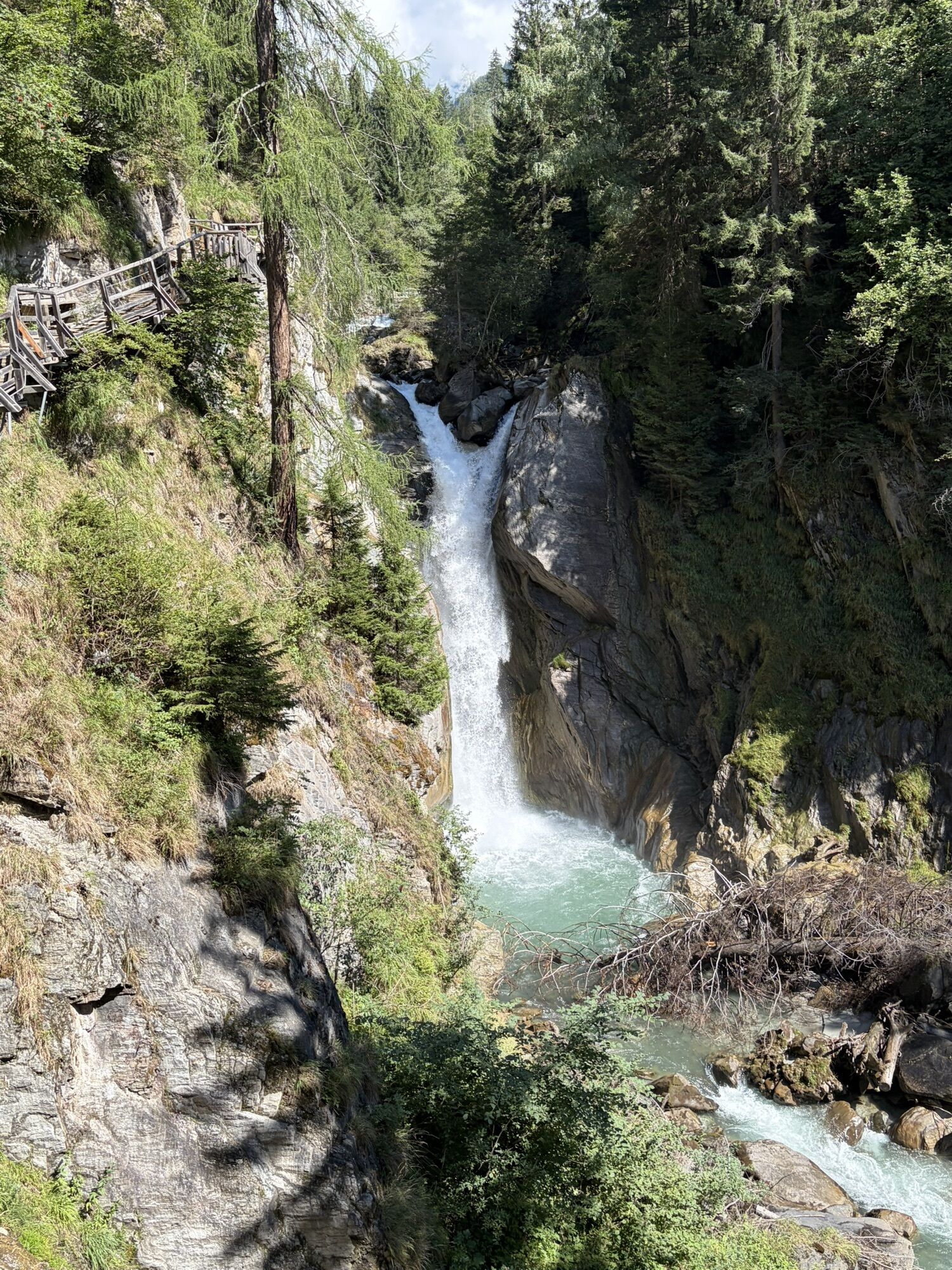
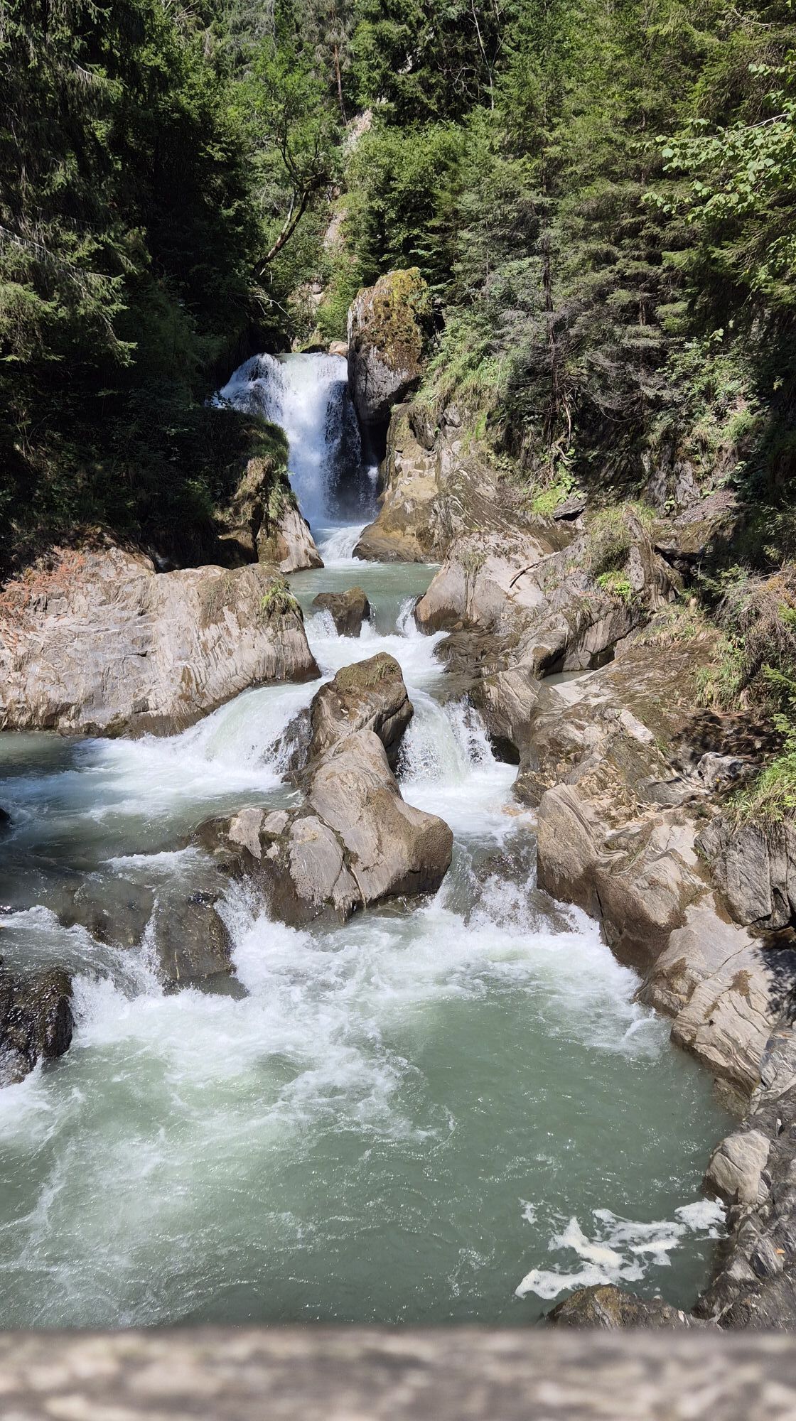
The boardwalk at the upper end of the Groppenstein Gorge is particularly spectacular: on an impressive boardwalk, we approach the roaring Zechner Waterfall, a showpiece at the upper gorge entrance. Then we ascend to the left in several bends through the forest until we reach the hiking trail "Nach dem Glanz". Here we could turn left past Groppenstein Castle to return to the starting point.
However, we initially hike on a fairly flat trail to the estate of the former inn "Zur Guten Quelle" (closed) and then continue through the village of Lassach to the Rabisch Gorge, which the Mallnitzbach carved through a huge rockslide. From the endpoint near the Alpengarten Hotel in Mallnitz, we can either shortly reach the Rabisch hiking bus stop or continue on the "Mallnitzer Talrundweg - Dösental" to the town center.
Good footwear and appropriate clothing for hiking.
From the direction of Spittal/Drau or Mallnitz: On the B106, the Mölltal federal road, through Obervellach. After about 500 m in the village of Räuflach, turn right.
From the direction of Heiligenblut/Winklern: On the B106, the Mölltal federal road, about 3 km after Flattach (Ragga Gorge) turn left (signposted).
Both the Räuflach bus stop and the one at Rabisch near Mallnitz (endpoint) are ideally accessible by public buses! The route can also be started directly in Obervellach with little extra effort, following the signs of the Alpe-Adria-Trail.
Mallnitz is ideally accessible by train; international express trains stop at Mallnitz-Obervellach station every two hours.
Parking options in the area of the toll tower / ticket office
Opening hours: Groppenstein Gorge Obervellach
The 7th stage of the Alpe-Adria-Trail runs through the Rabisch and Groppenstein Gorge.
 Pridobite vpogled Vedno v živo na mestu z več kot 9.500 spletnimi kamerami. bergfex Kot uporabnik Pro si lahko zdaj ogledate ustrezne spletne kamere za številne izlete v aplikaciji izleti iz. Tako si lahko neposredno ogledate trenutne razmere.
 Priljubljeni izleti v okolici
- 4.5
Groppenstein Gorge Obervellach
srednjaPohodništvo 2.99 km - 4.4
"Elendrunde" Kleinelend Valley - Zwischenelendscharte - Großelend Valley
srednjaPohodništvo 21.9 km - 4.8
Wanderung zur Schwussner Hütte
svetlobaPohodništvo 8.07 km - 4.7
Kölnbreinspeicher bis Osnabrücker Hütte
svetlobaPohodništvo 15.9 km - 4.9
Ankogelgruppe - Säuleck 3.086m - Detmolder Weg mit zu viel Schnee
težkoVisokogorska tura 23 km - 4.5
Arthur von Schmidhaus
srednjaPohodništvo 6.36 km - 4.0
Raggaschlucht
srednjaPohodništvo 3.44 km - 4.3
The Glockner cycle route R8
srednjaKolesarjenje 123.5 km - 4.5
Ankogelbahn: mountain station - Kleine Tauernsee - middle station
srednjaPohodništvo 5.91 km - 4.7
Vorderer Geißelkopf
srednjaVisokogorska tura 19.1 km
Pohodništvo in sledenje


Ne zamudite ponudb in navdiha za naslednje počitnice
Vaš e-poštni naslov je bil dodan na poštni seznam.





