







RW_N38 Mill route
Along the sidewalk to Treßdorf to the Kesn at the edge of the village, along the Staudachbergweg to the Treßdorf mill, here we follow the signs "Mill route", continuing the Staudachberg to the left at...
Along the sidewalk to Treßdorf to the Kesn at the edge of the village, along the Staudachbergweg to the Treßdorf mill, here we follow the signs "Mill route", continuing the Staudachberg to the left at the stream, over the stream along the path through the forest to houses 46 and 44, past the houses, then continue right along the path over the small stream through the village uphill to the path that leads to the Stöfflerbergweg, from the Stöfflerbergweg down from the first left turn to Komitz (= hill, former fortification) and back to Kirchbach, east of the cemetery on the paved path at the edge of the forest through the village to the playground, after the playground right over the stream to the Kirchbach mill.
The Mill route can also be walked in the opposite direction from Kirchbach to Treßdorf.

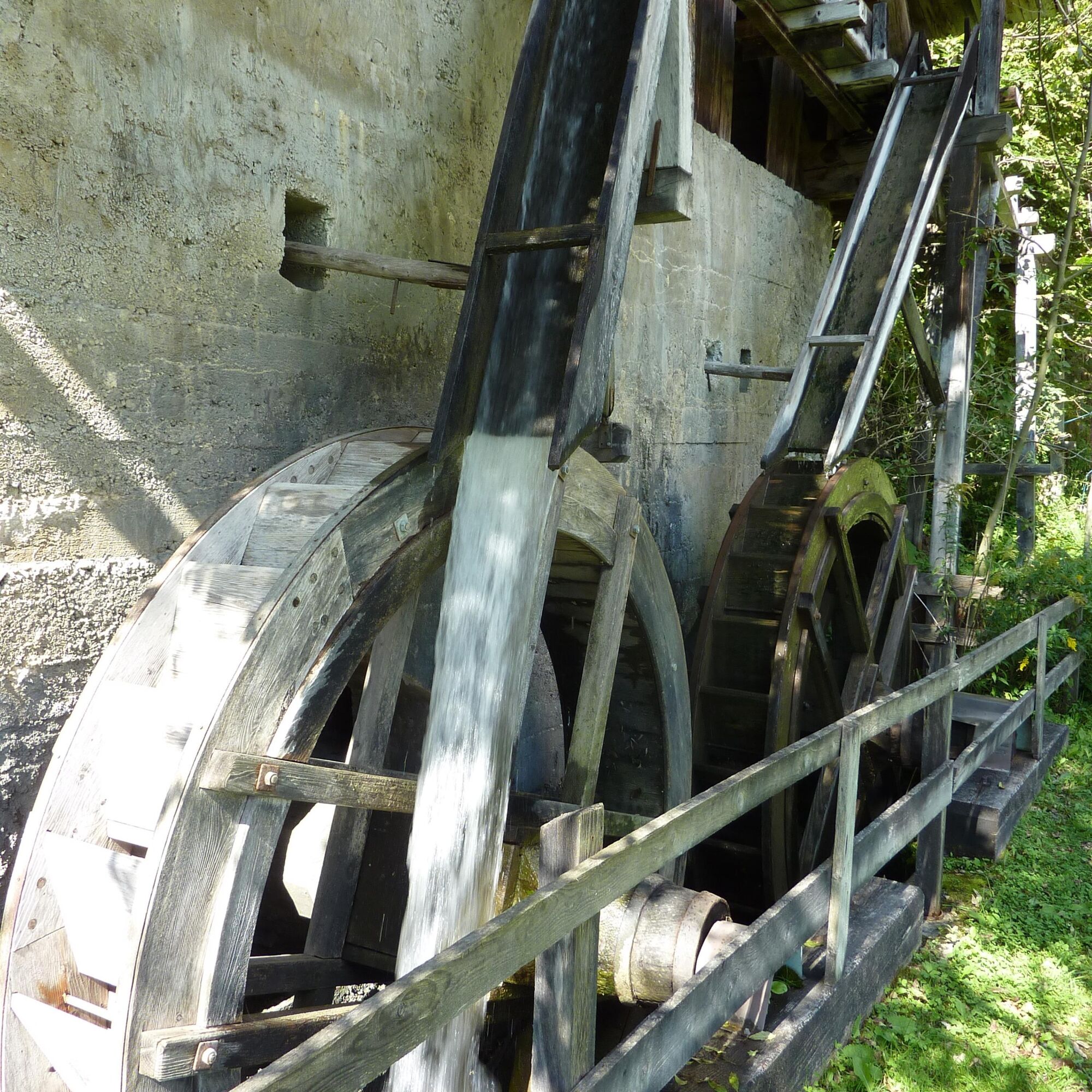

After visiting the Protestant church and the Maraschhof (oldest dated farmstead in Carinthia), continue to the Kesn at the edge of the village and to the Treßdorf water mill. Following the Staudachbergweg, you then continue through the village of Treßdorf and via the Komitz path back to Kirchbach and the Kirchbach water mill.
Da
Achtsamkeit für Natur – Grundbesitzer – deine Gesundheit.... und die Sicherheit am Berg haben höchste Priorität bei deiner Tour und der damit verbundenen Tourenplanung!
Deshalb erkundigt euch vor jeder Wanderung über die Verhaltensregeln - Sicherheit-am-Berg - sowie die aktuelle Wetterlage.
Müllentsorgung:
Abfall ist nicht immer zu vermeiden - in der Natur hat er aber nichts zu suchen und ist ordnungsgemäß (bevorzugterweise im Tal bzw. zu Hause) zu entsorgen.
Notrufnummern:
Euronotruf: 112 (Zugang in jedes verfügbare Netz)
Alpinnotruf Österreich: 140
Von Hermagor über die B111 (Gailtal Straße) oder von Oberdrauburg über die B110 (Plöckenpass Straße) bis Kötschach-Mauthen und von dort über die B111 (Gailtal Straße) weiter bis Kirchbach.
Von Oberdrauburg bzw. Hermagor aus erreichst du in weiterer Folge mit dem Bus den Ort Kirchbach.
Details unter - Mobilitätsinfos Nassfeld sowie Routenplaner Kärntner Linien
Bitte beachtet die etwaigen Parkhinweise der jeweiligen Grundstückseigentümer sowie die entsprechenden gesetzlichen Vorschriften.
Guided Mill route hike every Thursday!
Der Mühlenwanderweg kann auch in umgekehrter Richtung von Kirchbach nach Treßdorf begangen werden.
Priljubljeni izleti v okolici
-
4.7
RW_N9 Weißenbachklamm
srednjaPohodništvo 7.49 km -
4.7
W5 - Naggler Alm Round Weissensee
srednjaMountainbike 15.8 km -
4.9
Weissensee Ost- nach Westufer
svetlobaPohodništvo 10.2 km -
4.6
Bergstation Weißensee bis Golz
srednjaPohodništvo 14.8 km -
4.4
WY_W2 hike to the Alm behind the Brunn
srednjaZimsko pohodništvo 3.04 km -
4.7
Drau Cycle Path R1
svetlobaKolesarjenje 75.9 km -
4.9
Weiße Wand - Alm hinterm Brunn
Mountainbike 22.1 km -
4.9
Weißenbachklamm
težkoPohodništvo 5.80 km -
4.3
Malurch Nassfeld
srednjaPohodništvo 9.60 km -
4.6
ST_N7 Gartnerkofel (2,195 m)
Smučarska tura 3.94 km
Pohodništvo in sledenje


Ne zamudite ponudb in navdiha za naslednje počitnice
Vaš e-poštni naslov je bil dodan na poštni seznam.





