







RW_N34 Watschiger Alm - Gartnerkofel (SBW_3 - constellation hike)

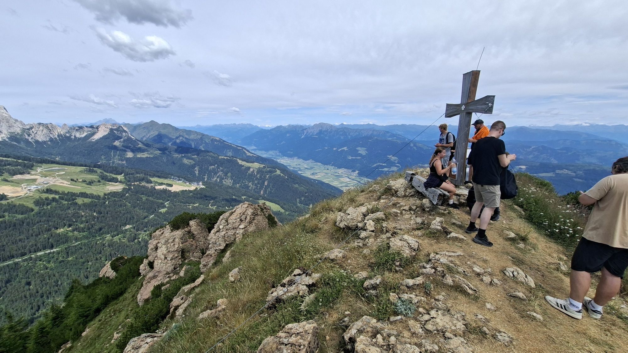
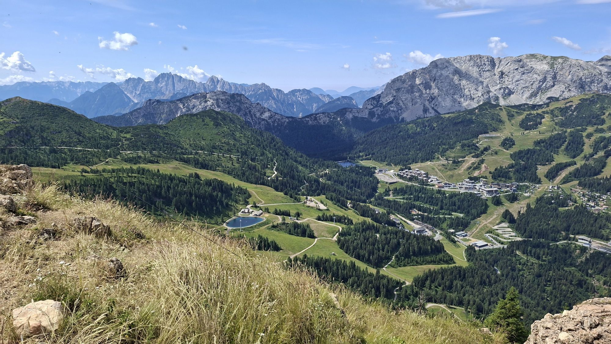
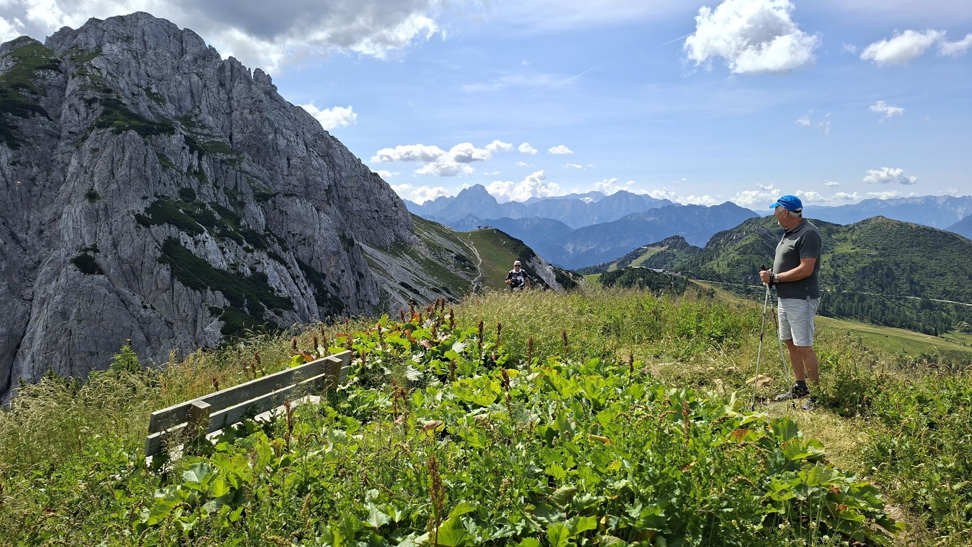
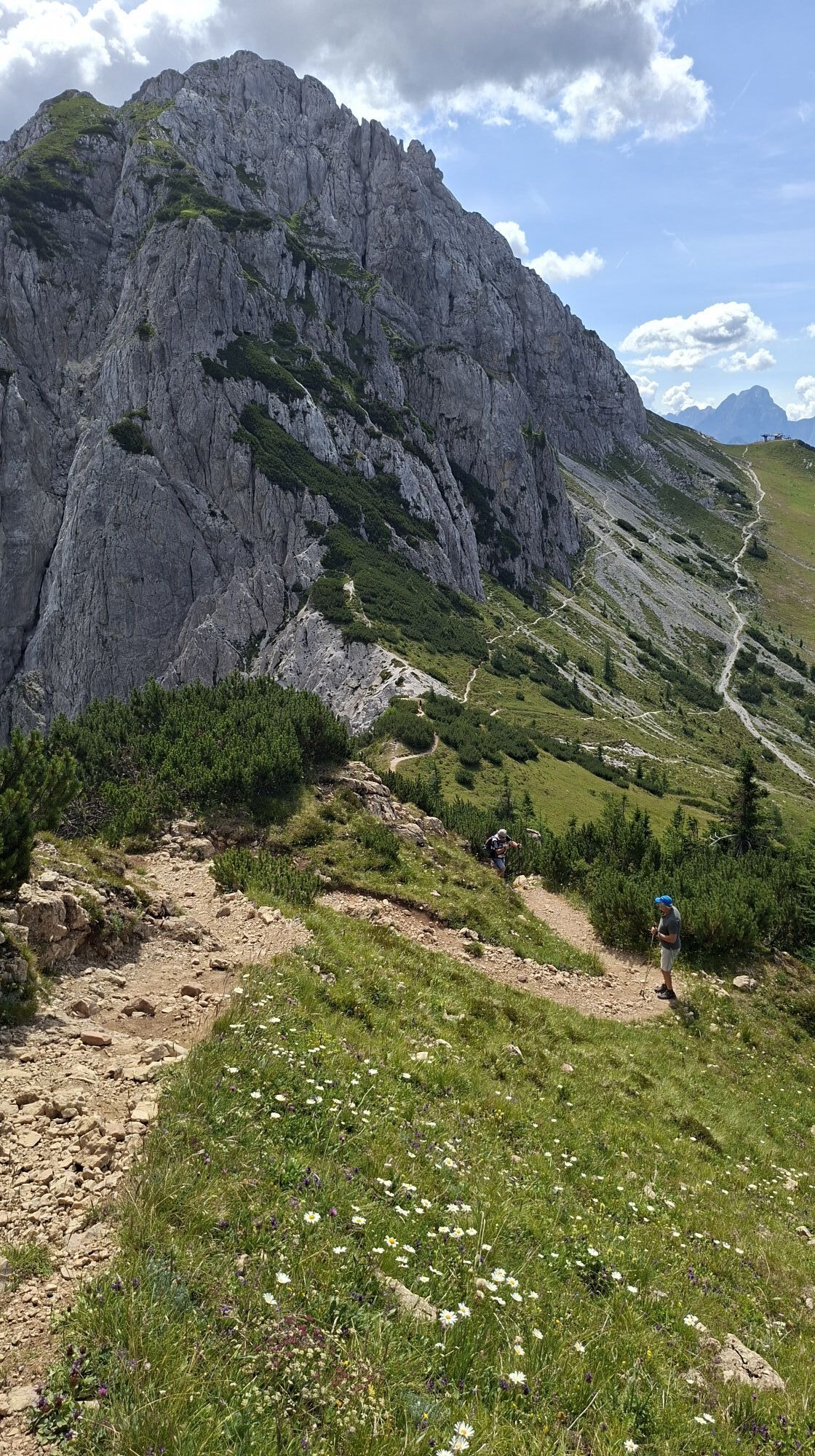
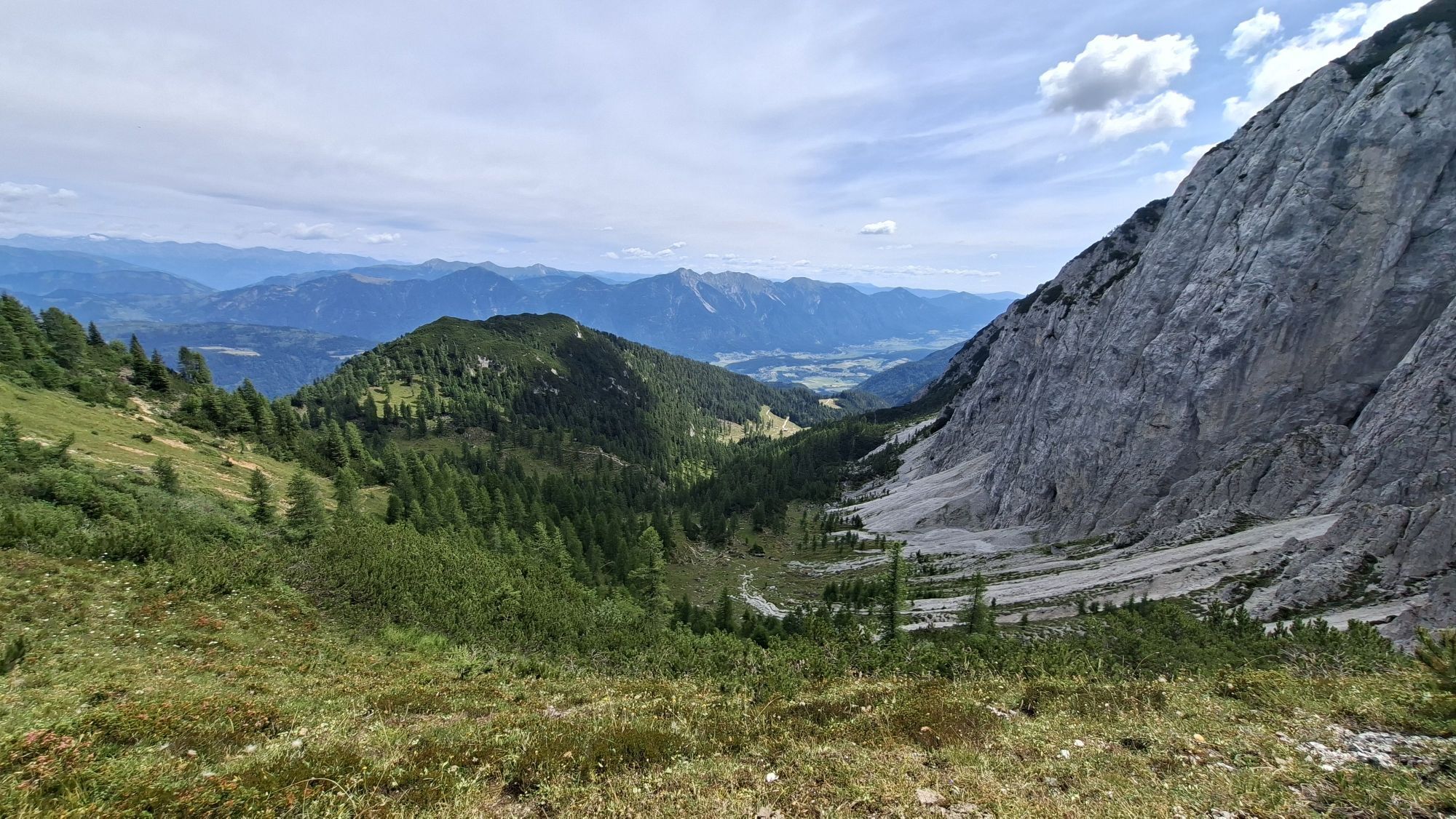
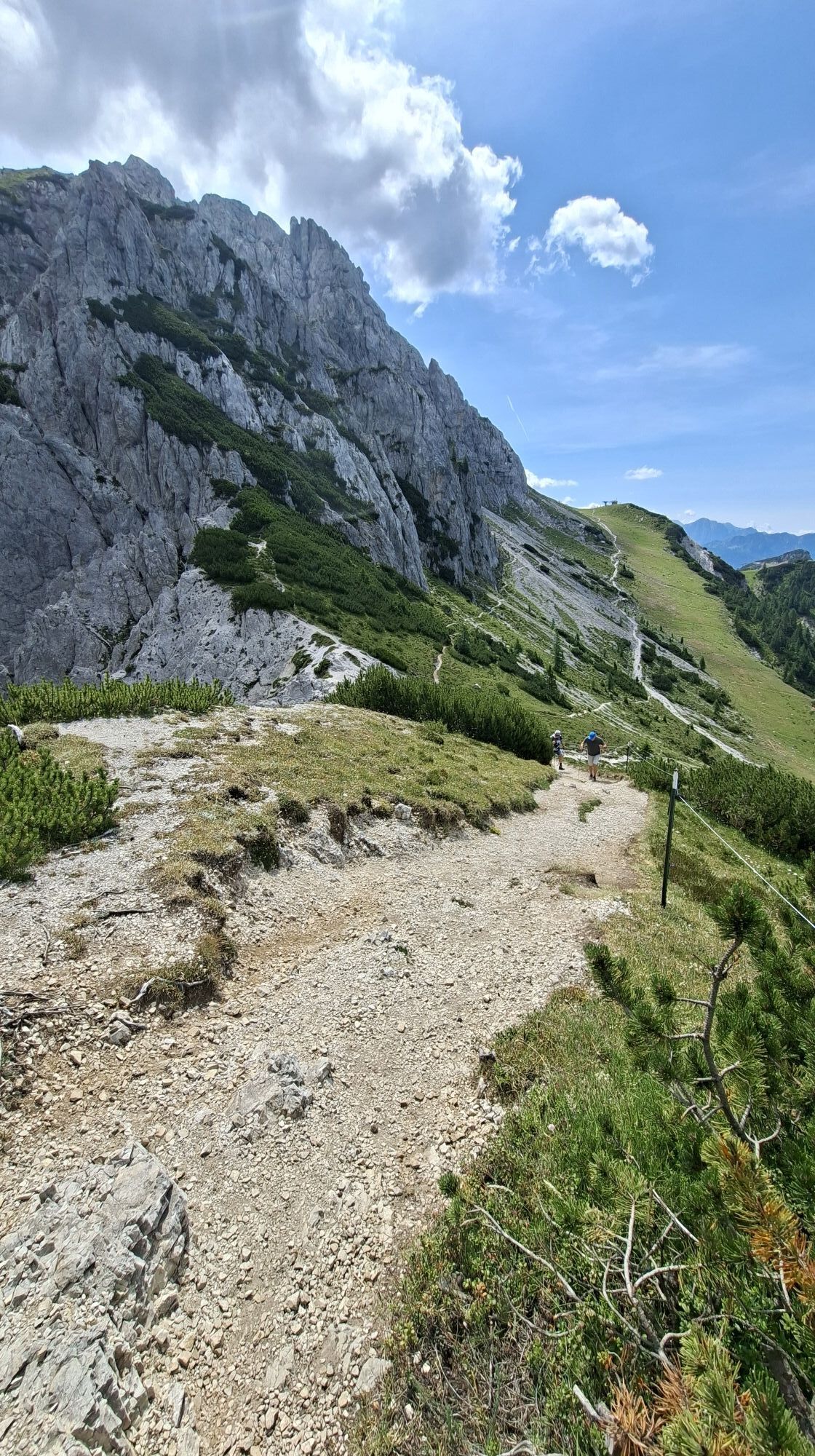
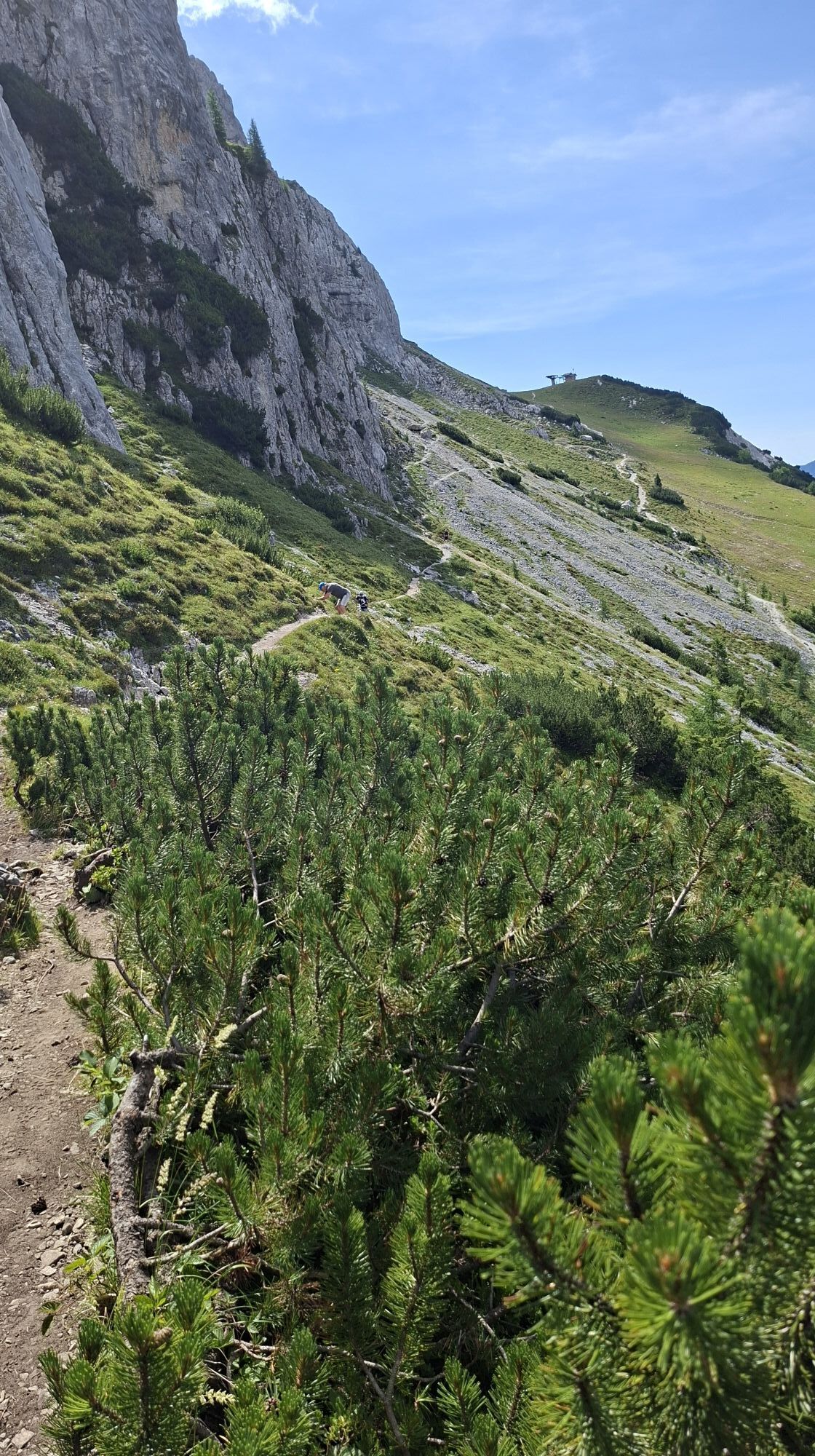
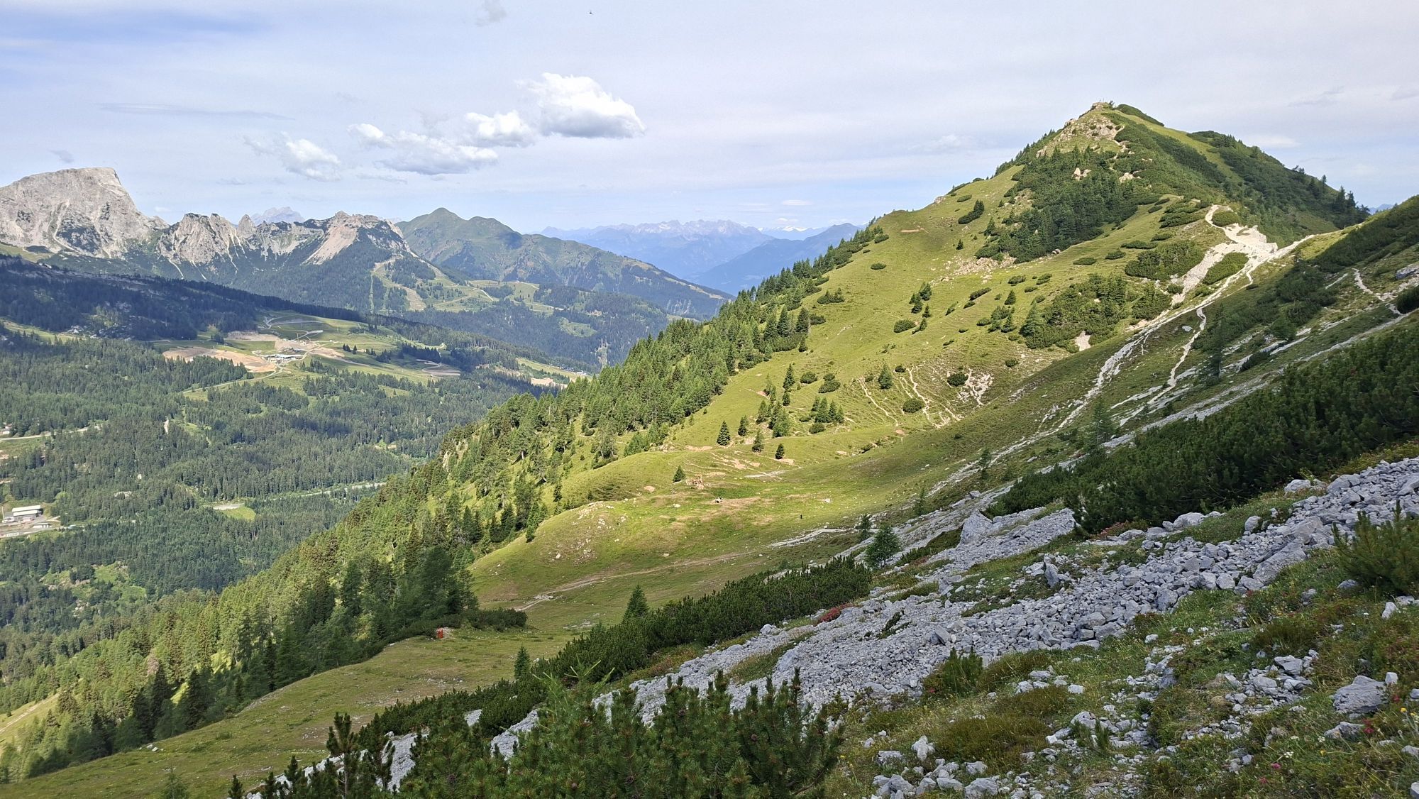
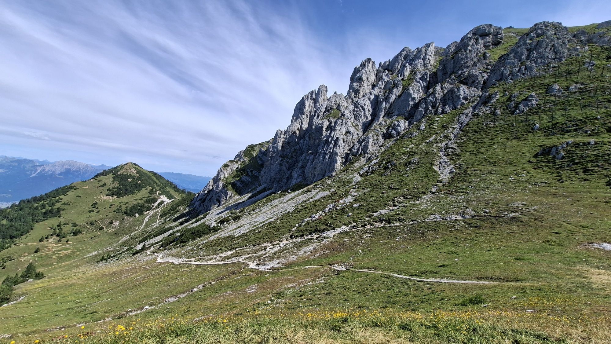
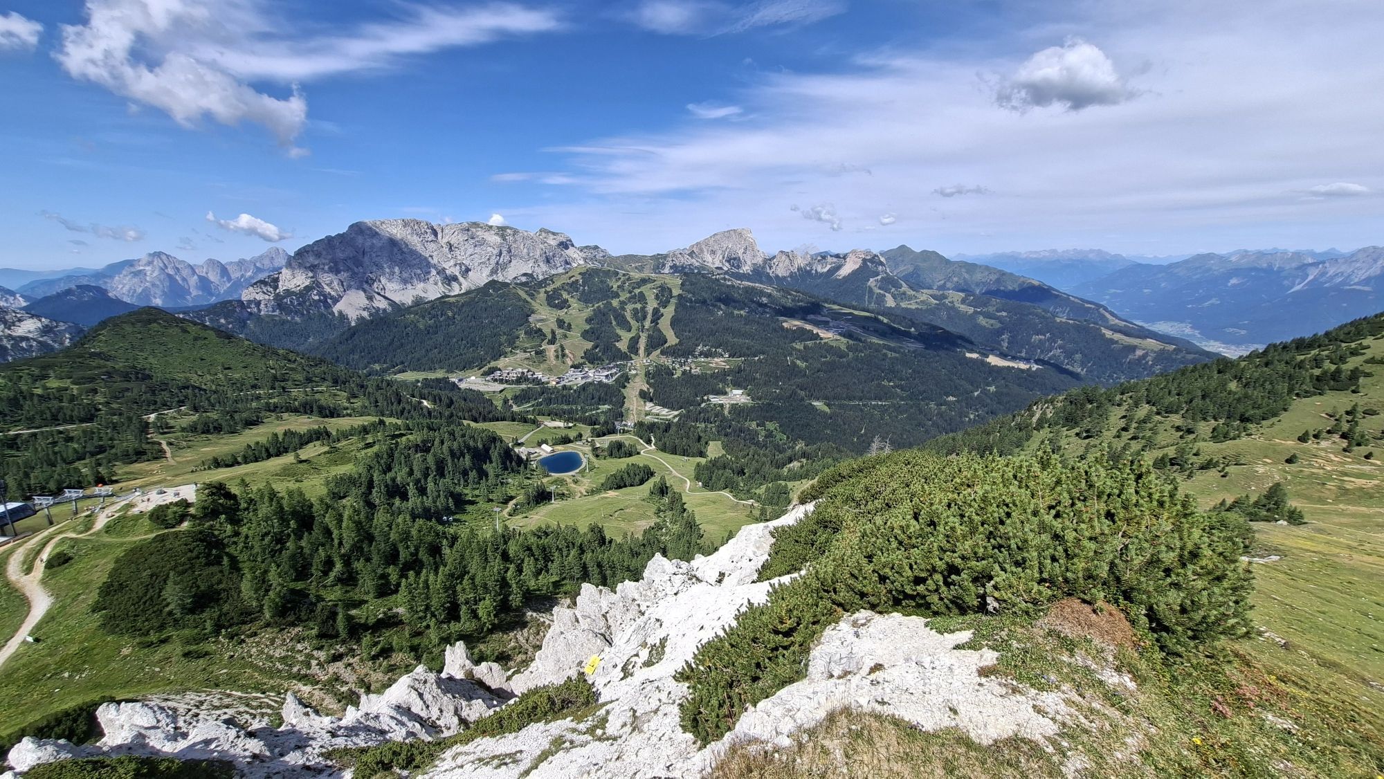
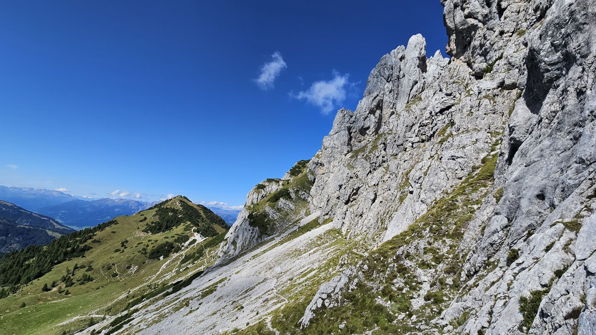
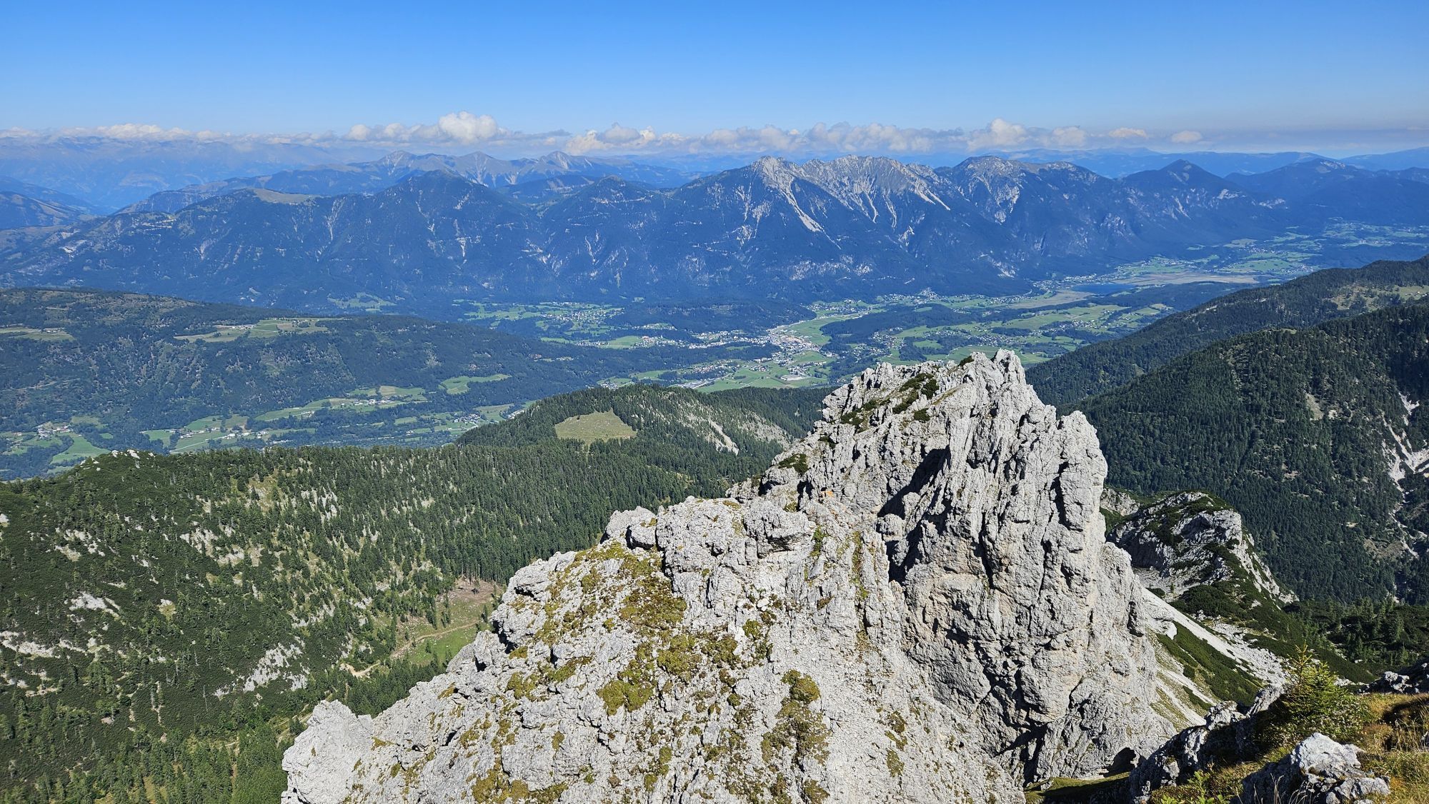
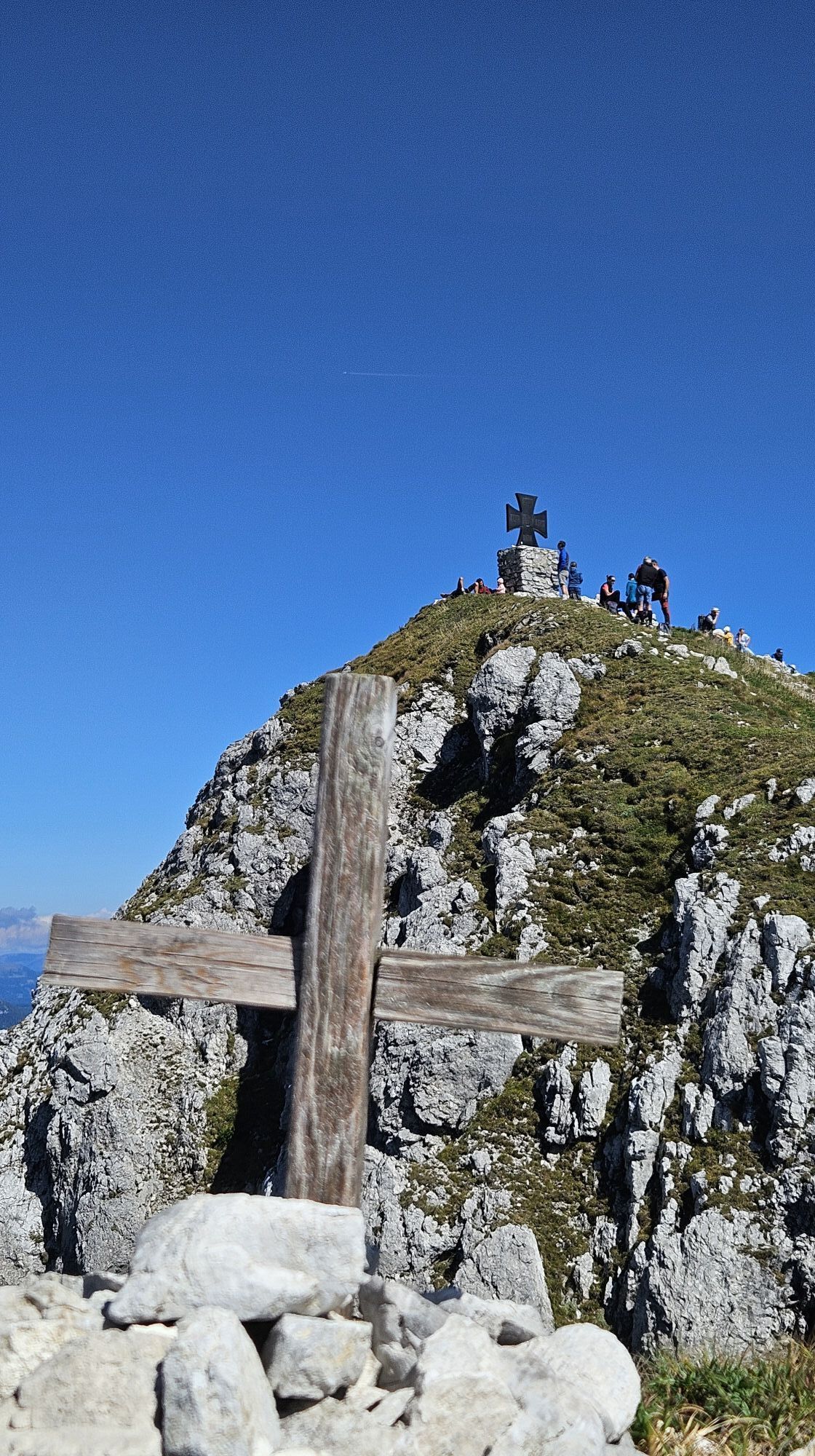
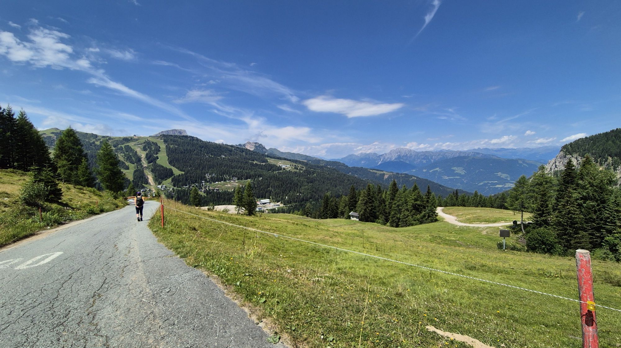
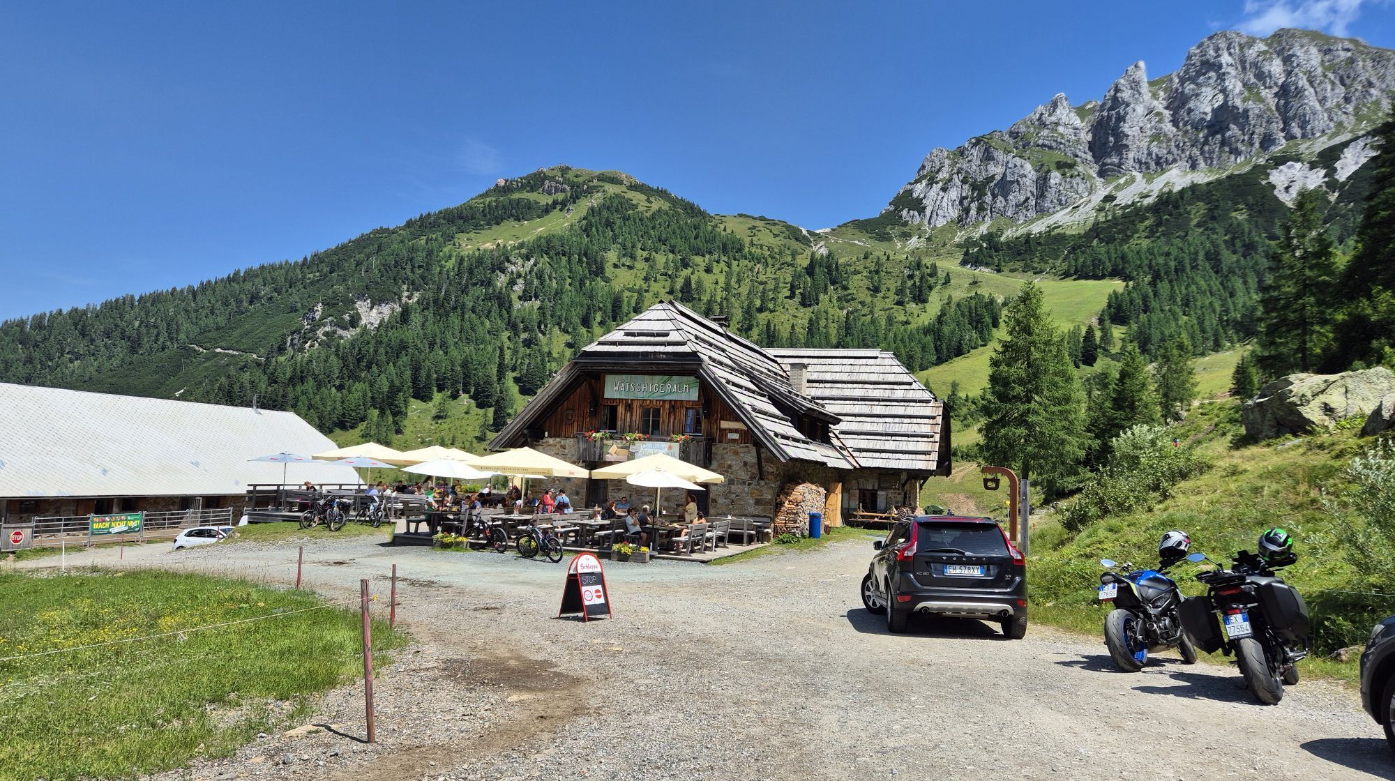
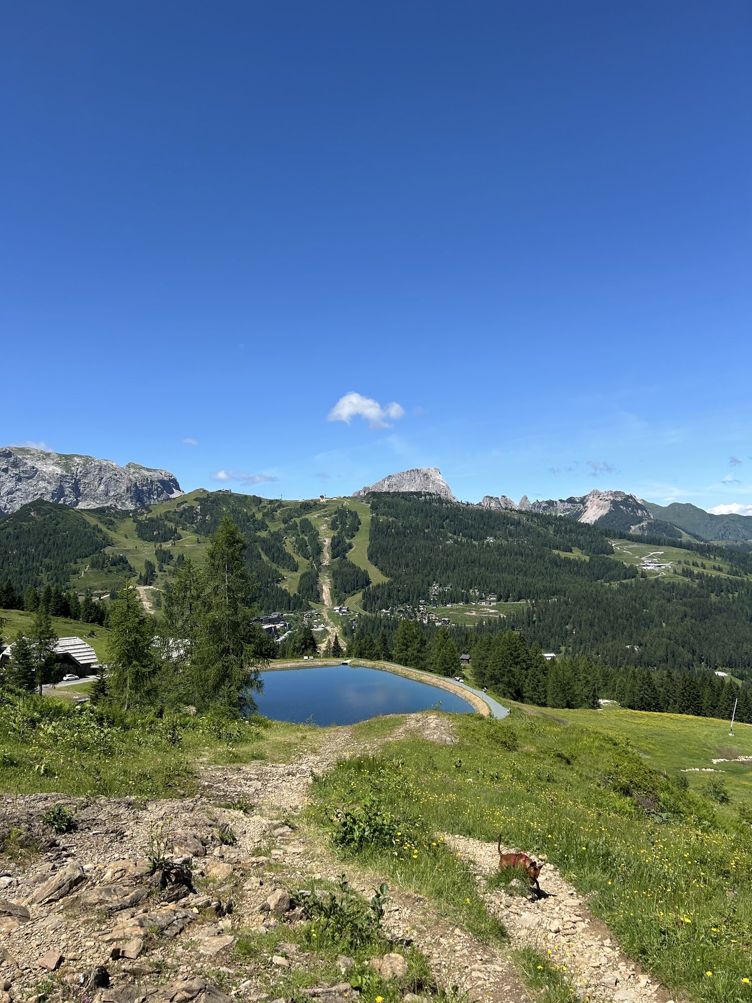
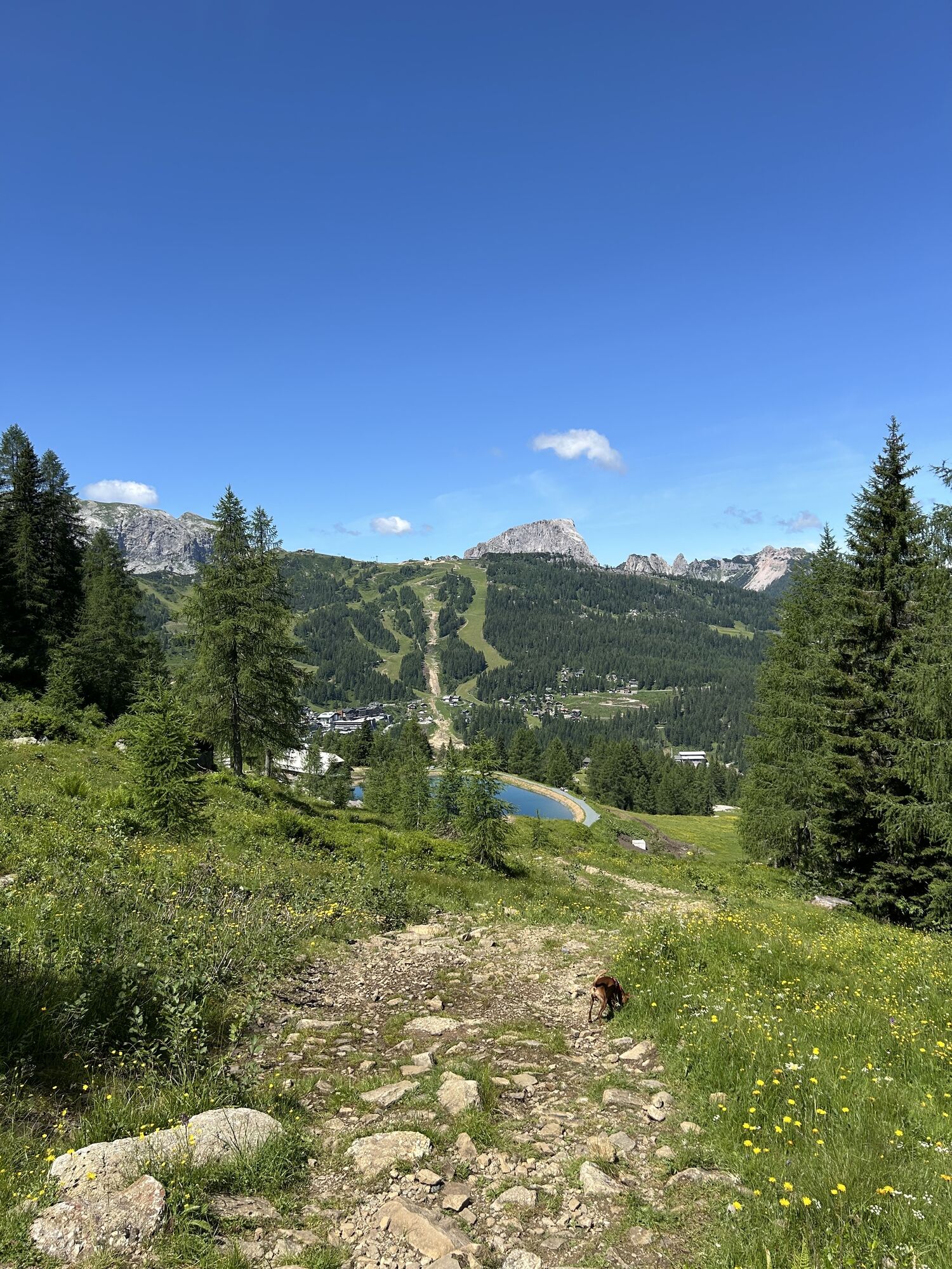
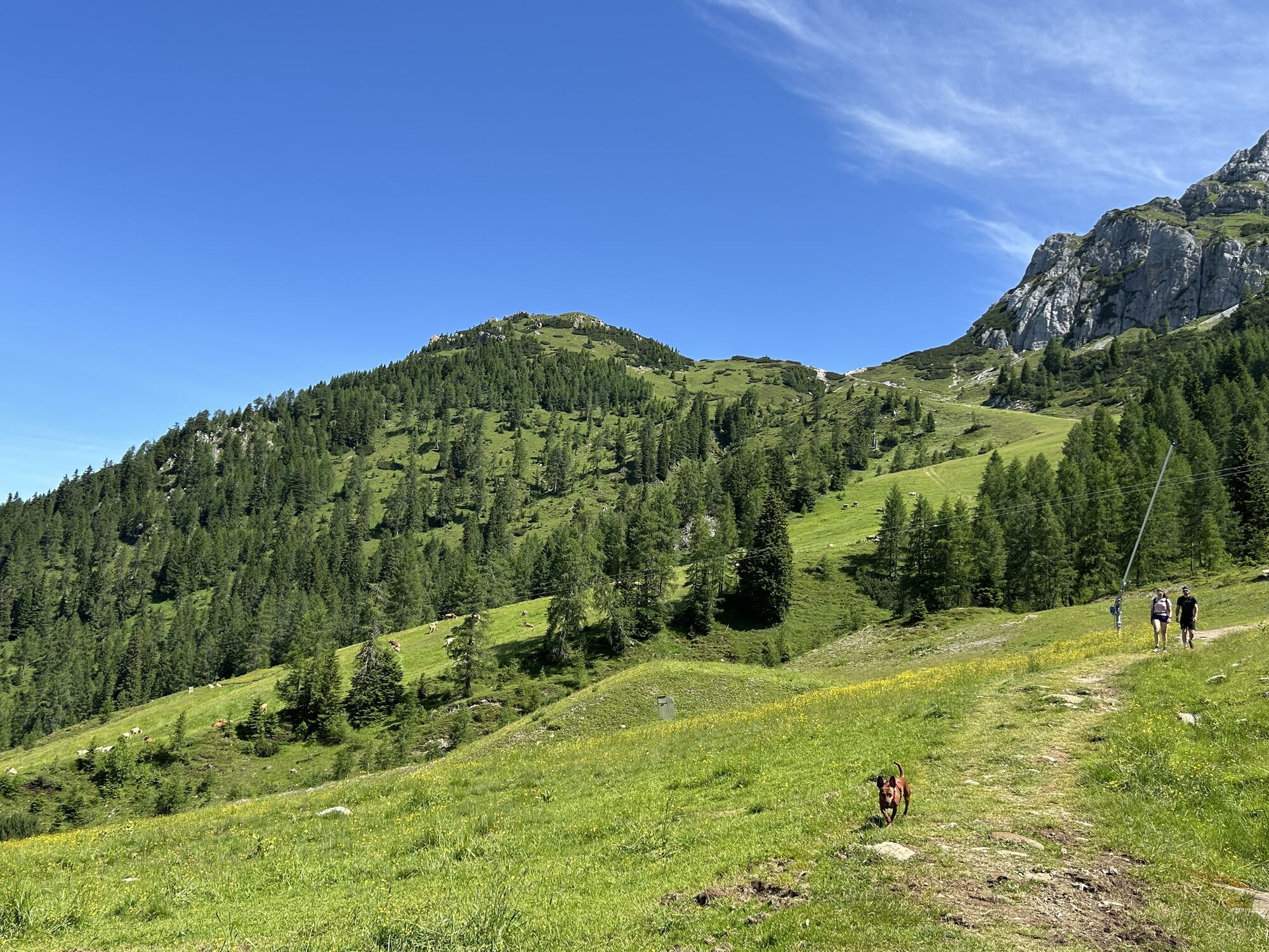
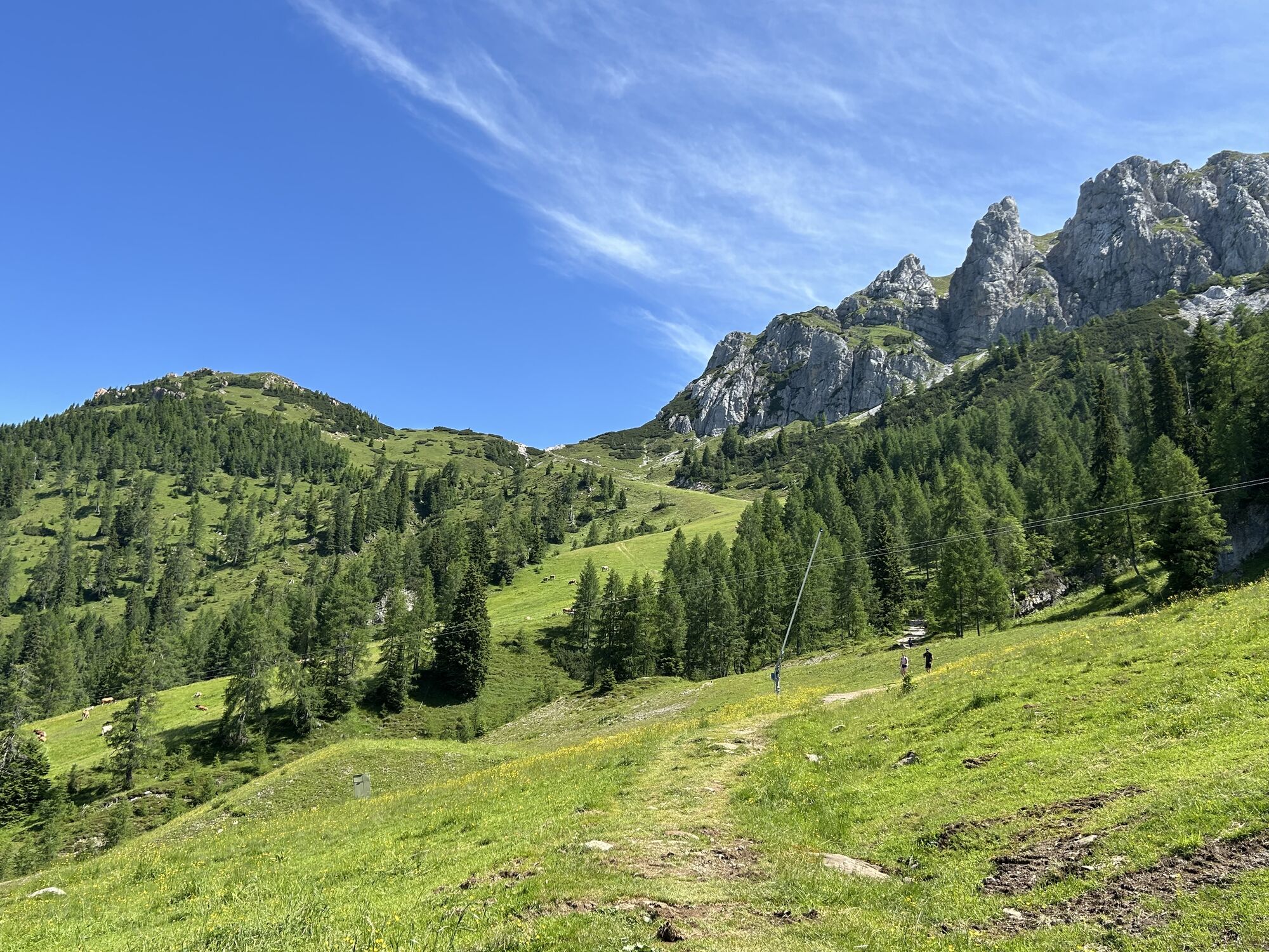
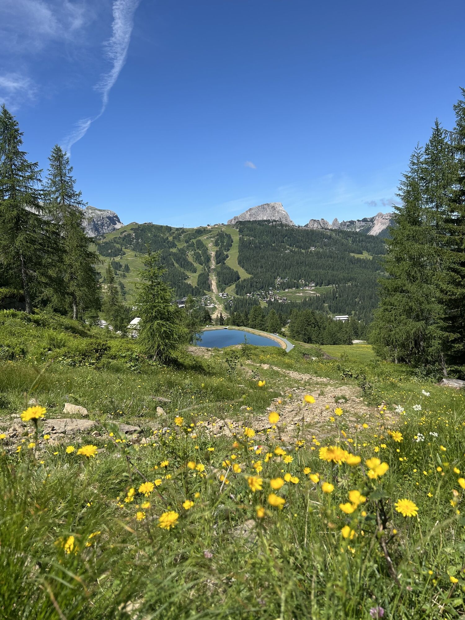
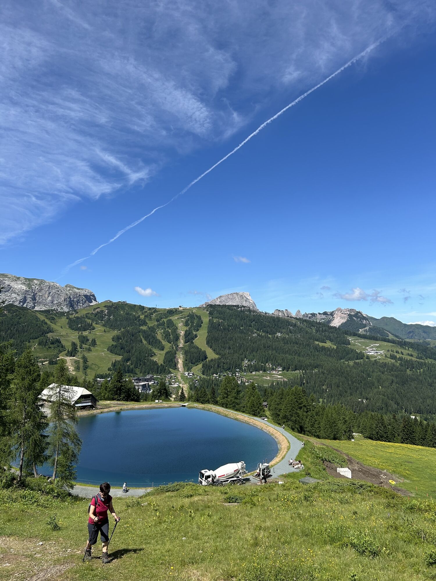
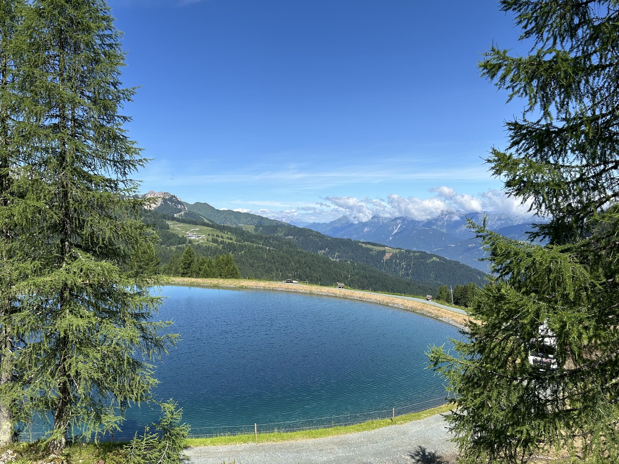
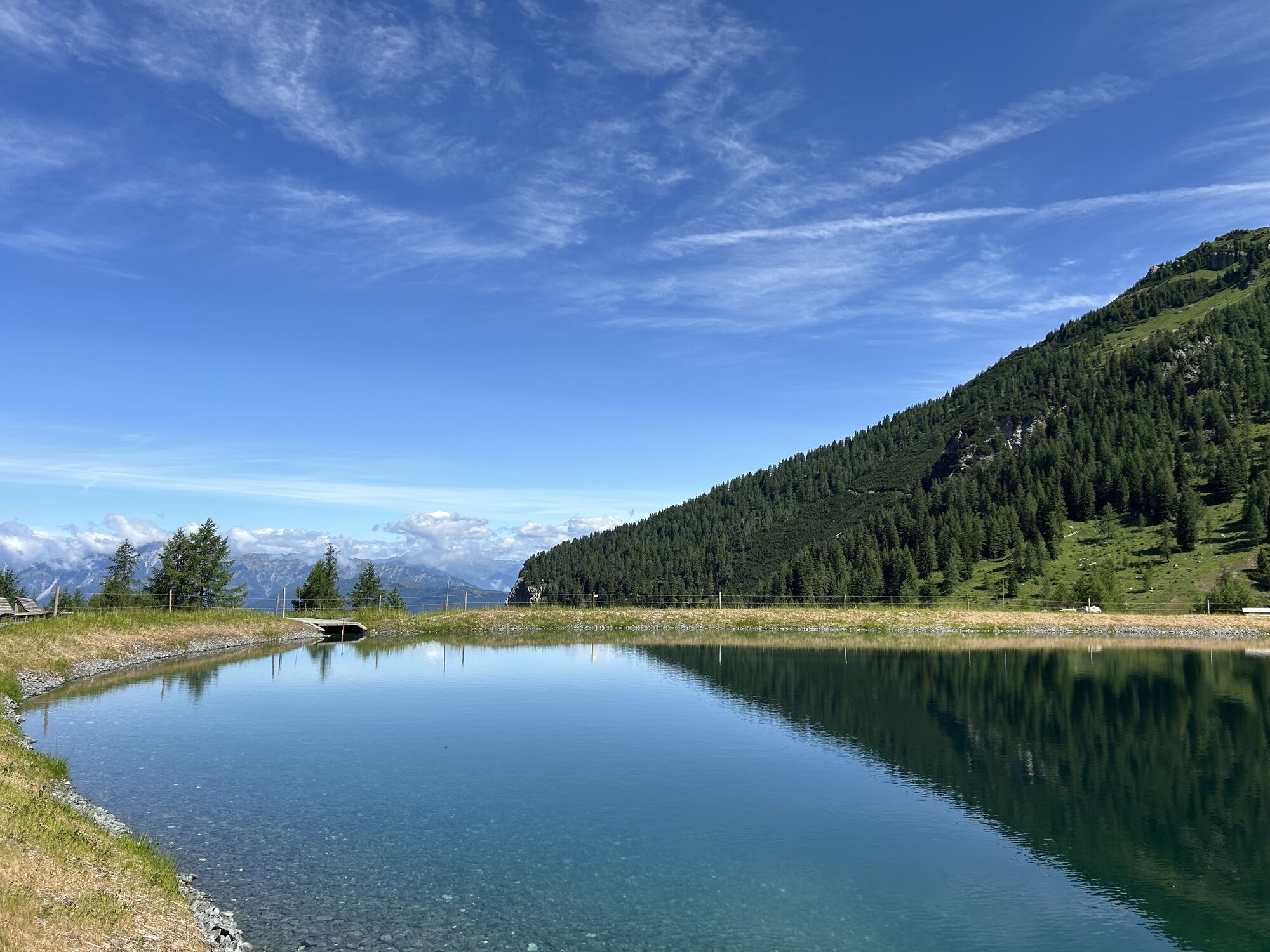
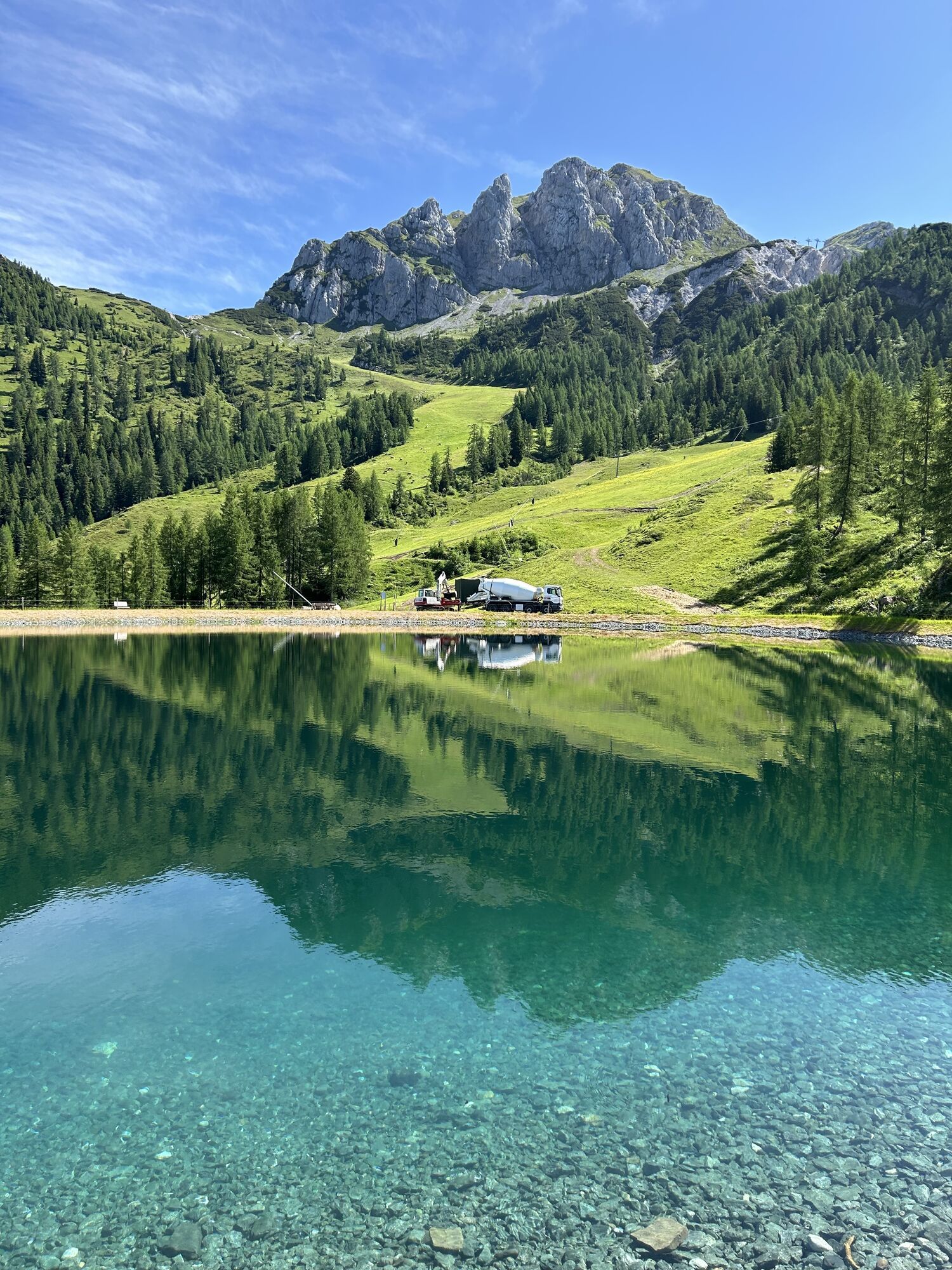
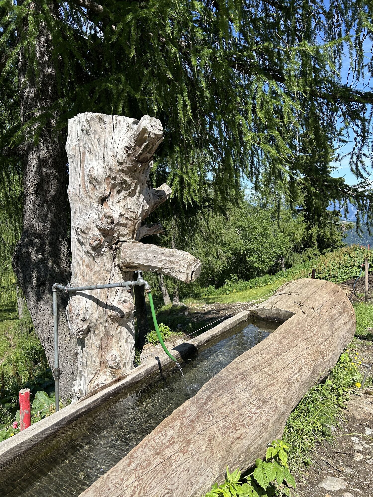
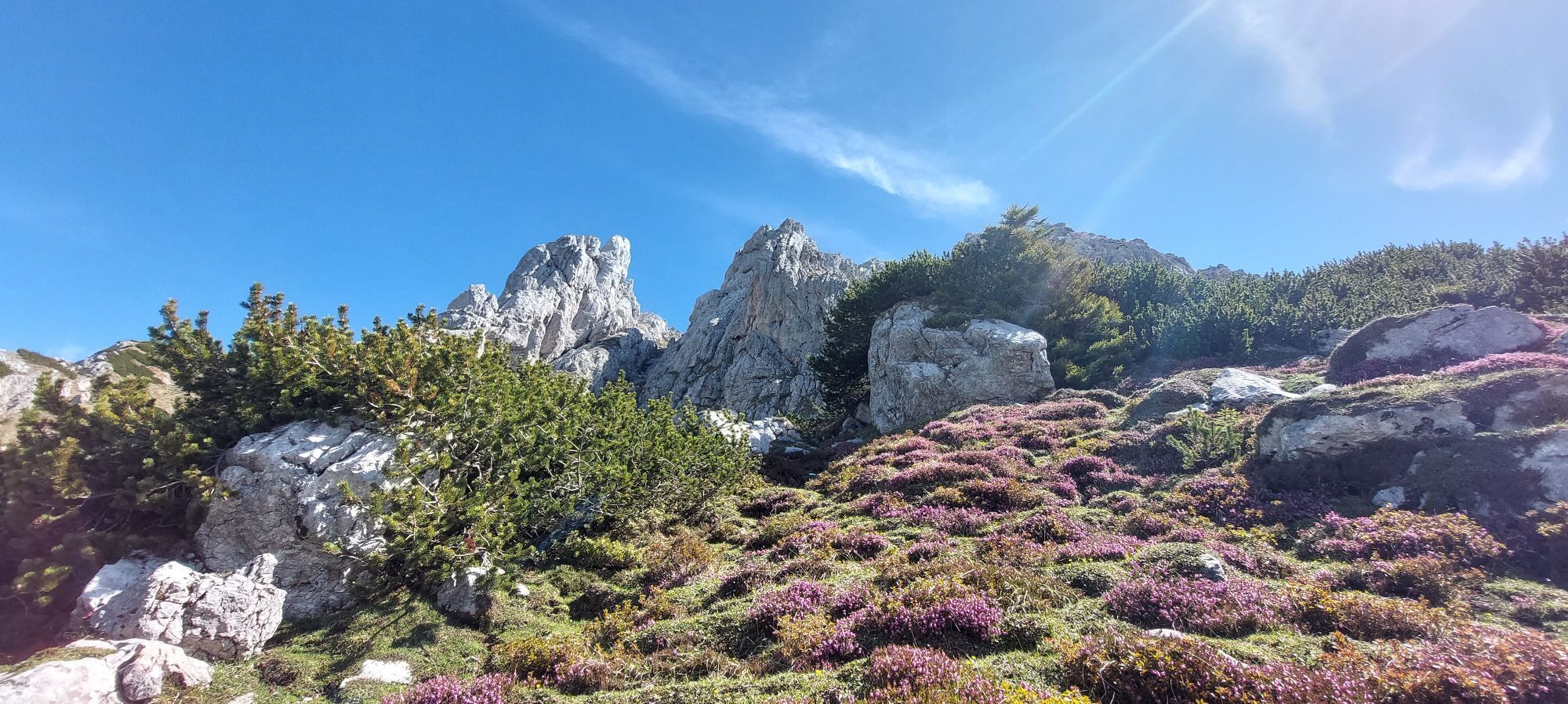
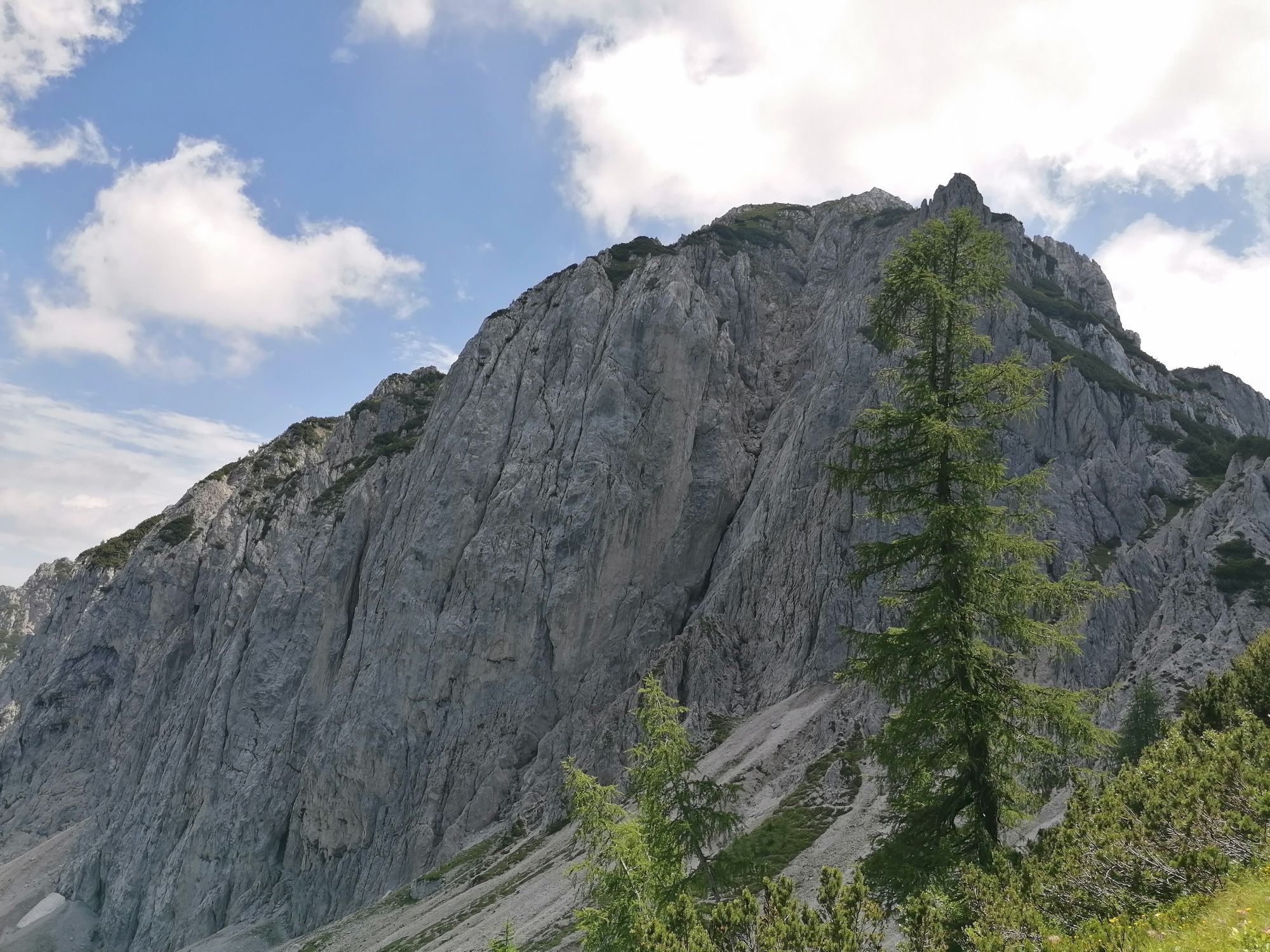
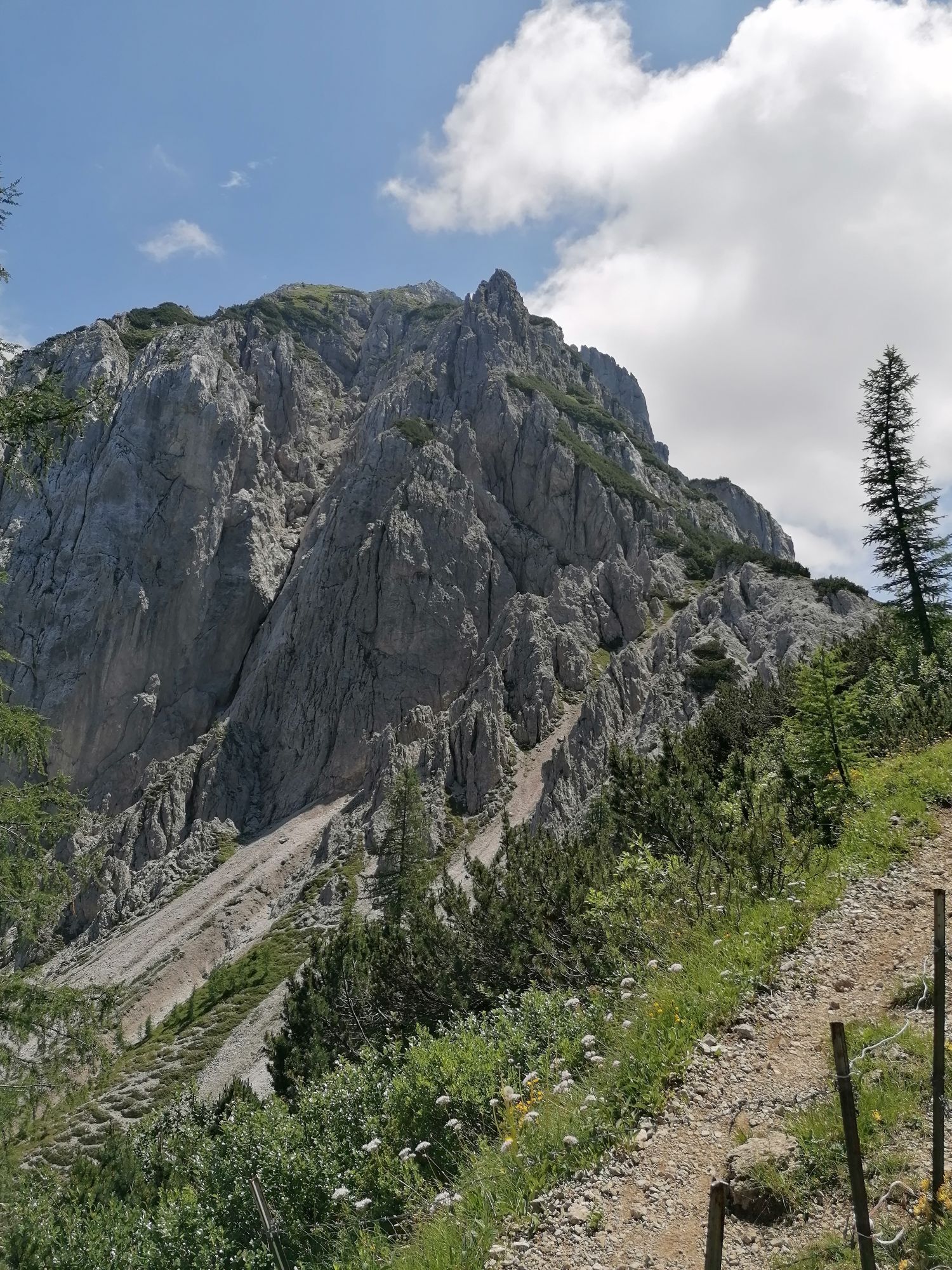
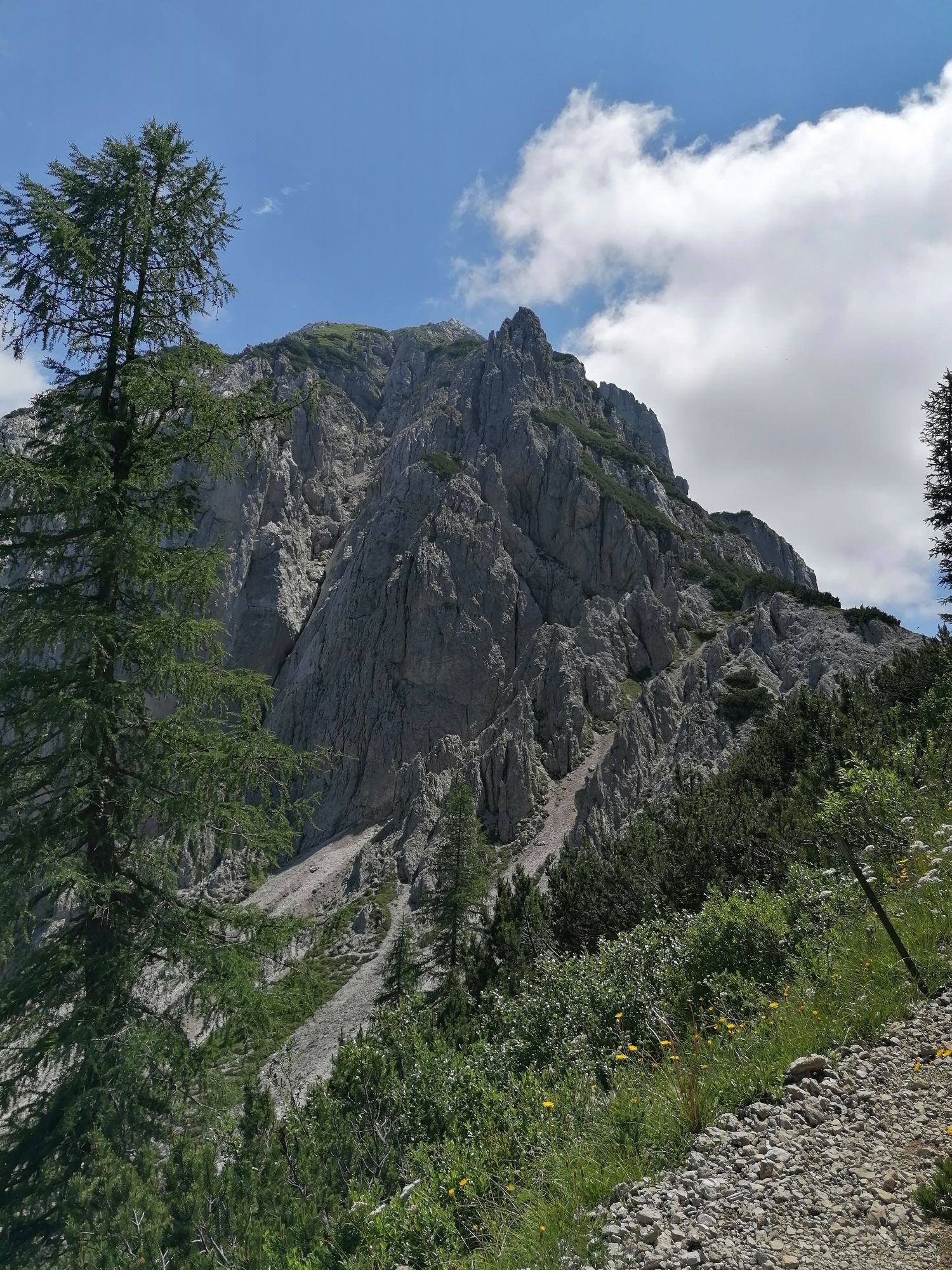
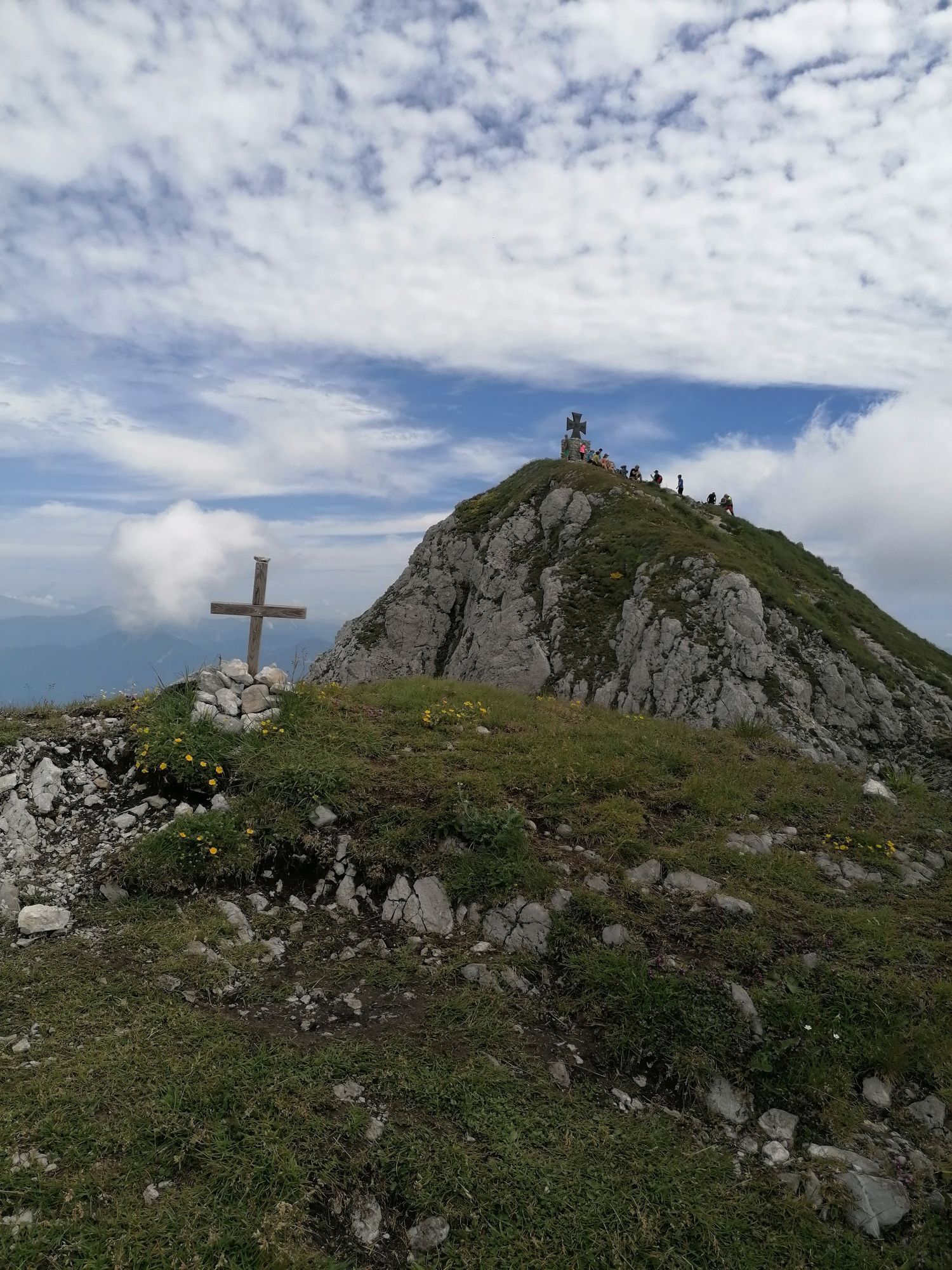
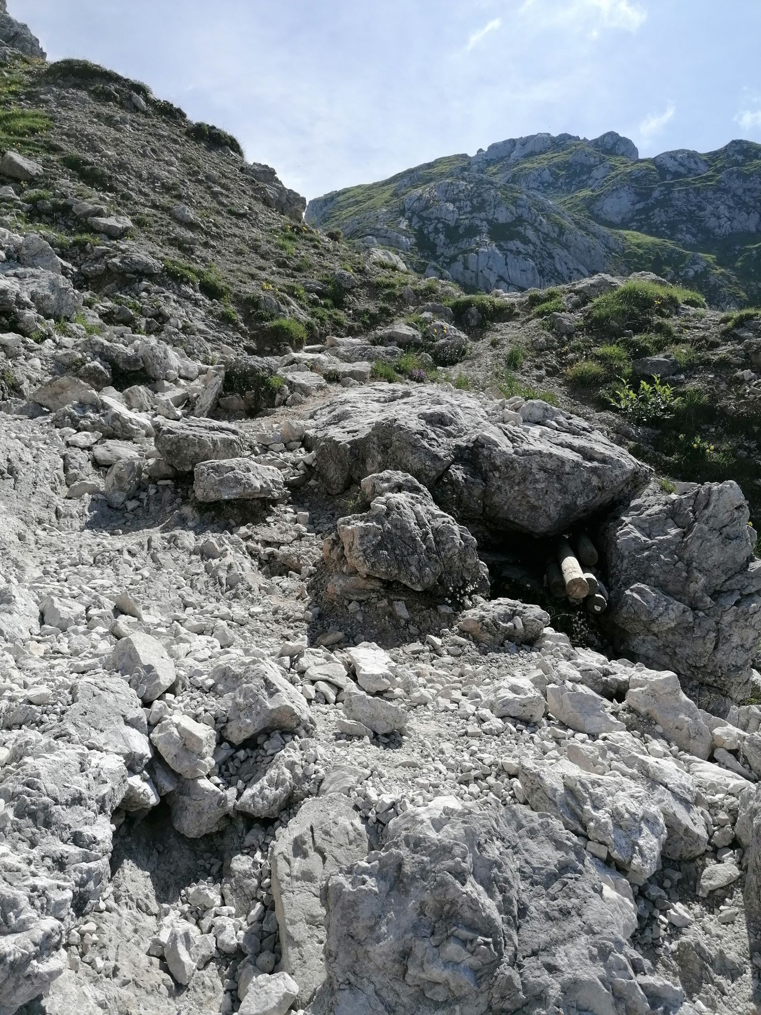
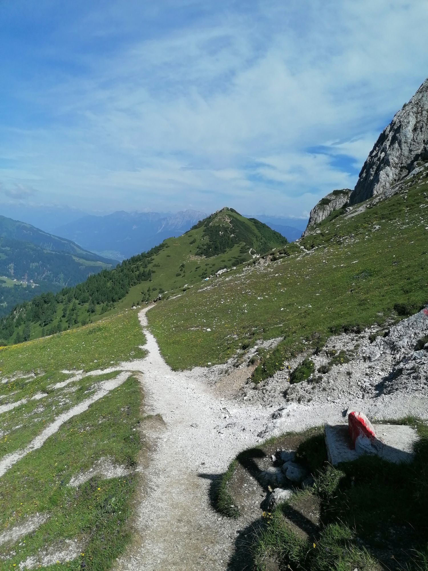
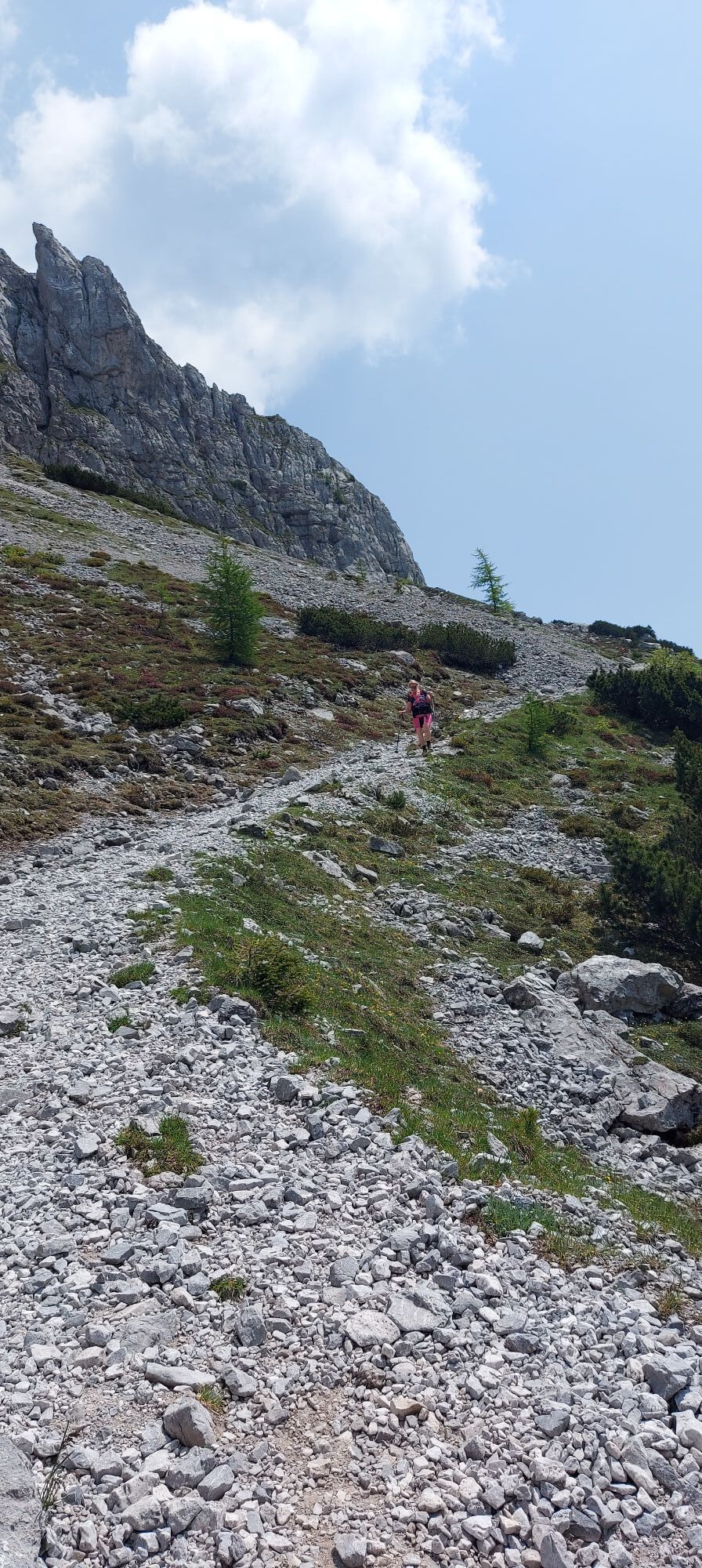
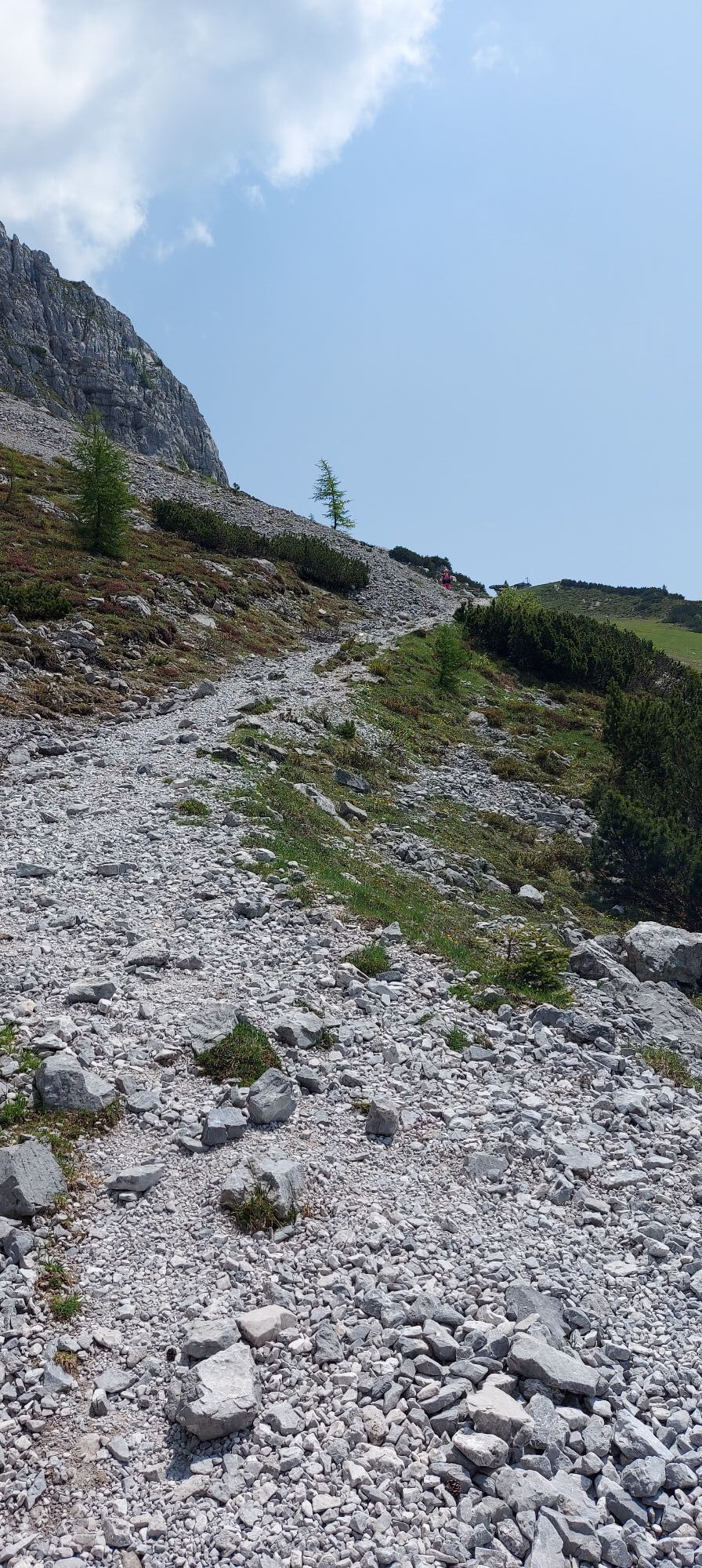
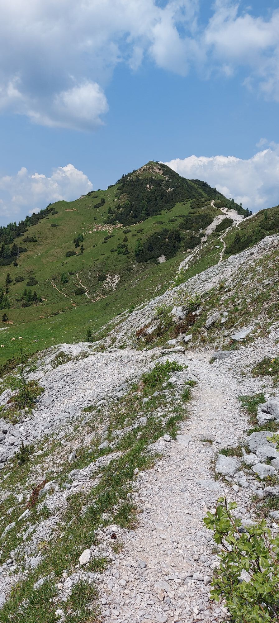
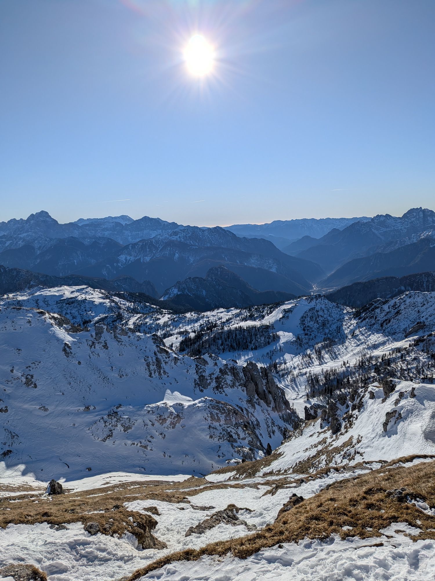
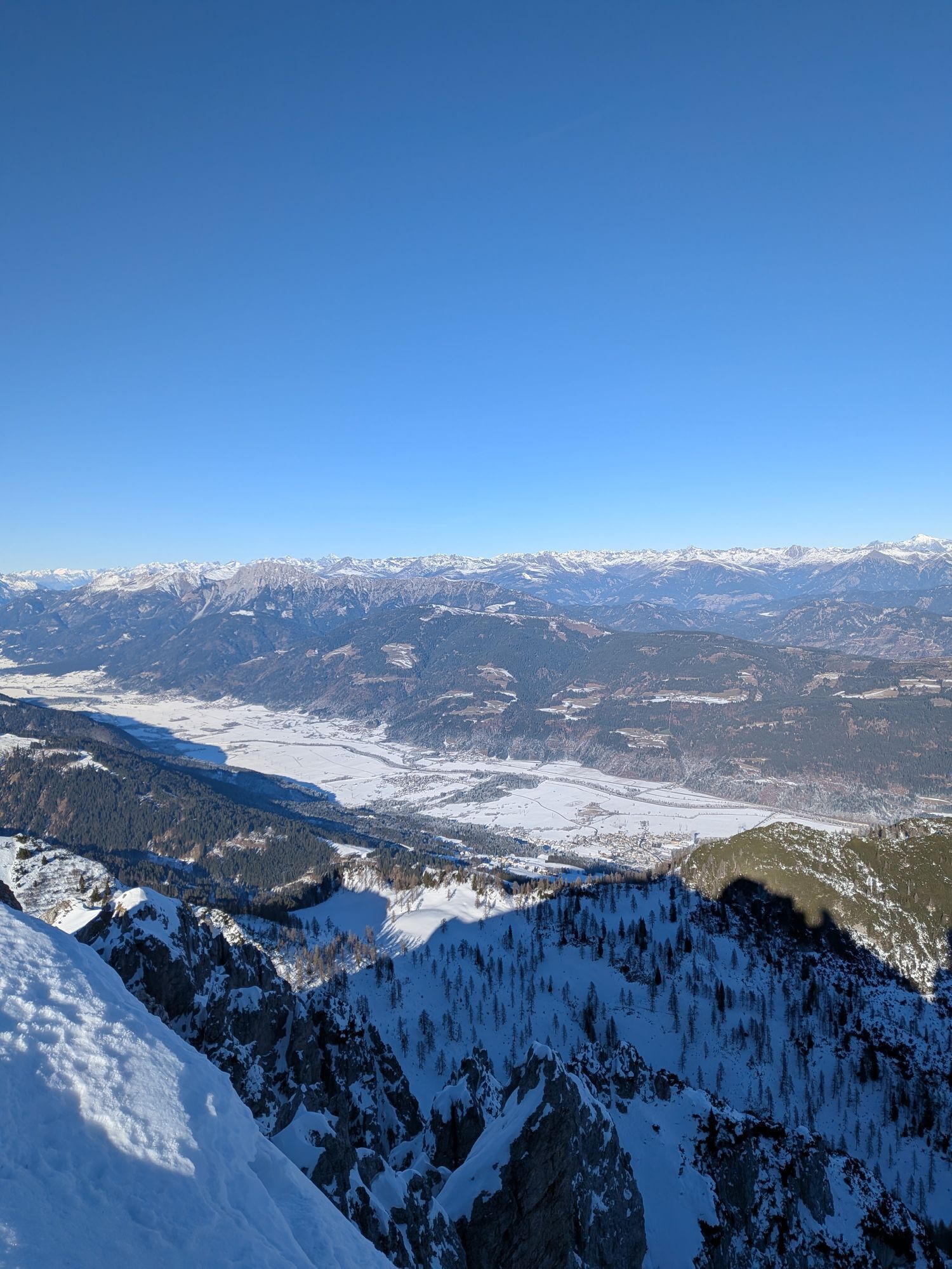
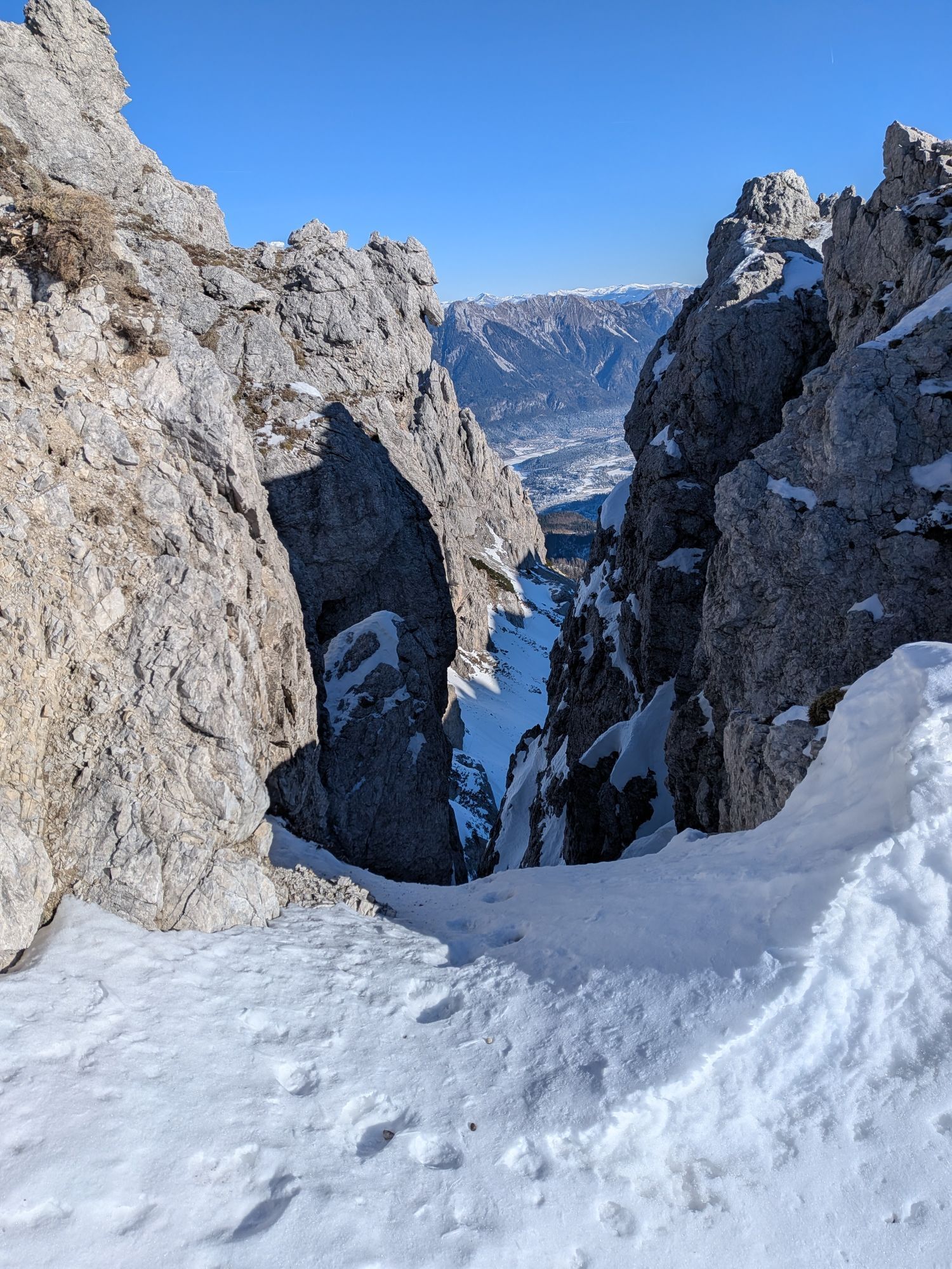
This constellation hike starts with a botanical sensation: the only growing site of the endemic blue-blooded Ice Age flower "Carinthian Wulfenia." Often, the view is directed into the distance – over the...
This constellation hike starts with a botanical sensation: the only growing site of the endemic blue-blooded Ice Age flower "Carinthian Wulfenia." Often, the view is directed into the distance – over the entire Gail valley and the neighboring impressive rocky Trog and Rosskofel mountains. Gartnerkofel and Kammleiten are considered excellent viewpoint peaks. And with the Gartnerkofel, you yourselves ascend an imposing Carnic peak.
Highlights:
Cheese alp: Watschiger Alm Gartnerkofel – imposing but easily accessible peak with a fantastic panoramic view of Austrian, Italian, and Slovenian mountain peaks Kammleiten – small peak with a beautiful view over the Gail valley Carinthian Wulfenia – legendary endemic Ice Age flower at Gartnerkofel (flowering time: mid-June to about mid-July - weather dependent) "Skyplate" – viewing platform at the Gartnerkofel mountain station
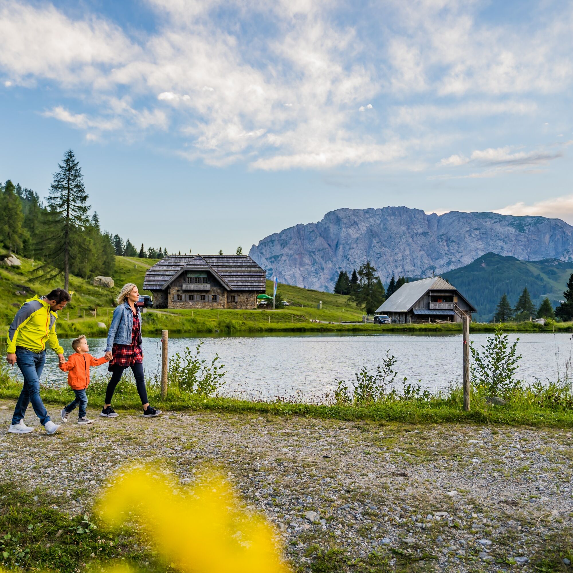

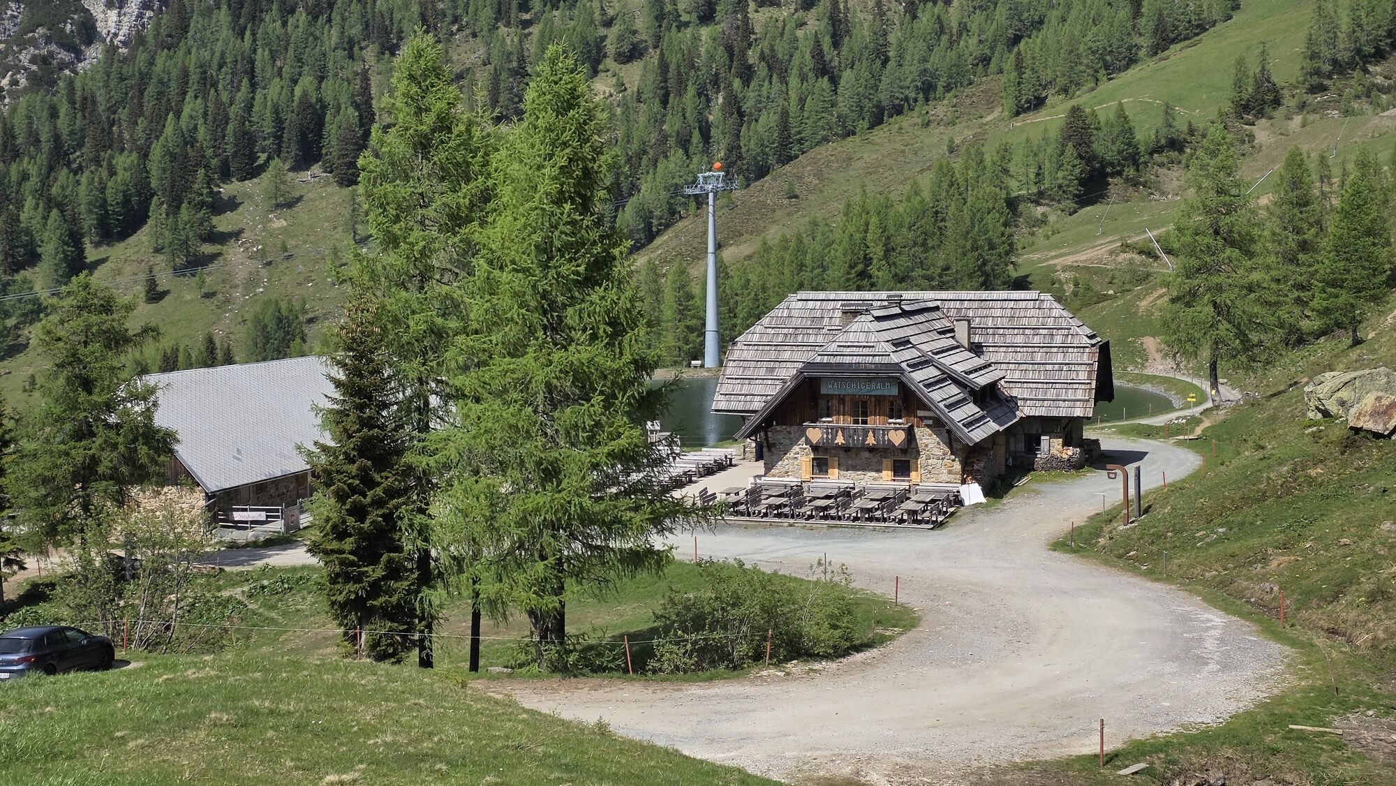
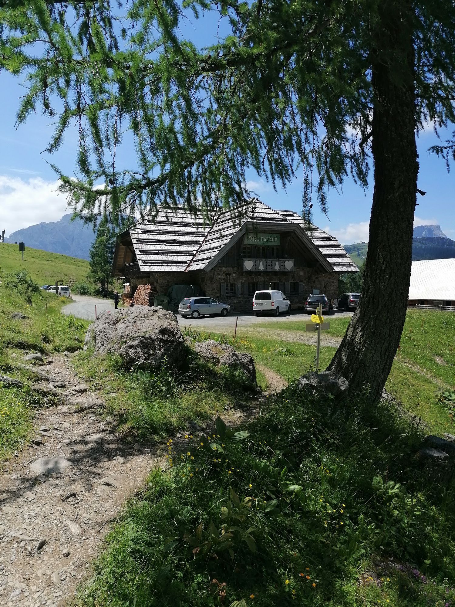
The starting point of the constellation hike is a highlight in two ways: firstly, around the Watschiger Alm between mid-June and mid-July (weather dependent), you can admire the bloom of the legendary endemic Ice Age flower Carinthian Wulfenia. Secondly, the Watschiger Alm itself is already a highlight as one of the Gail Valley cheese alps with its own cheese production. It's just as well that you pass by the Alm again at the end of the hike – otherwise, the delicacies right at the start of the hike could seriously disrupt your schedule!
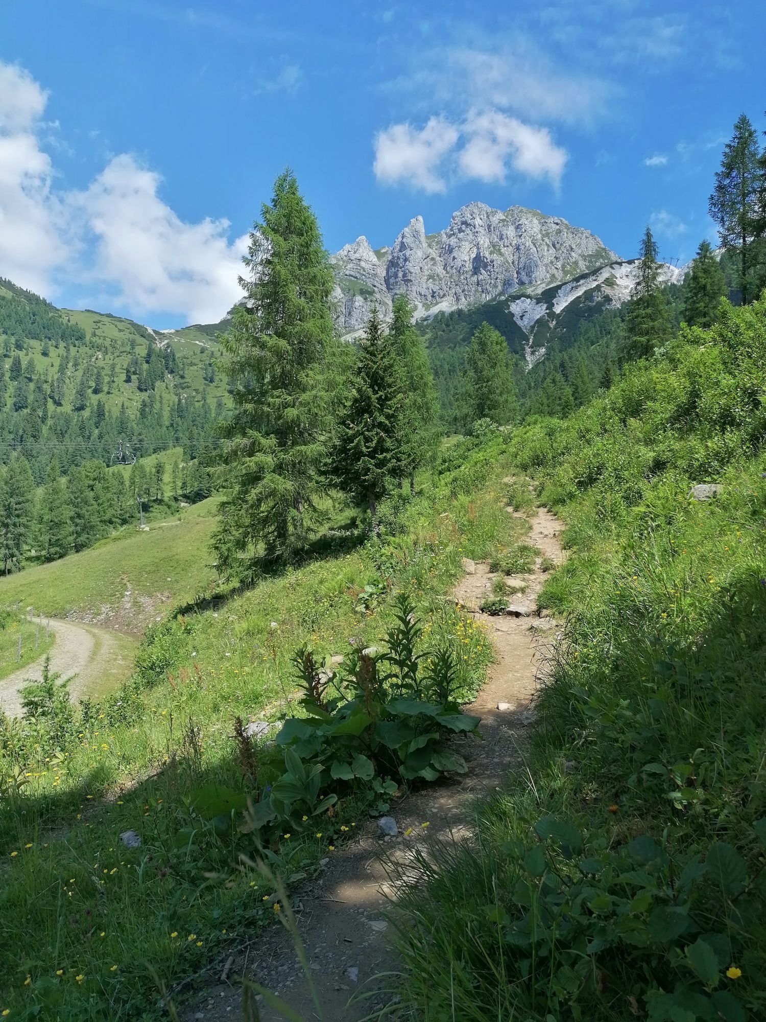
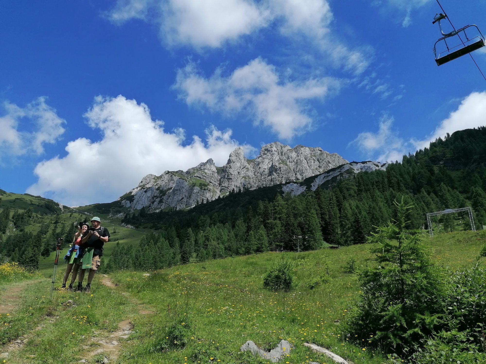
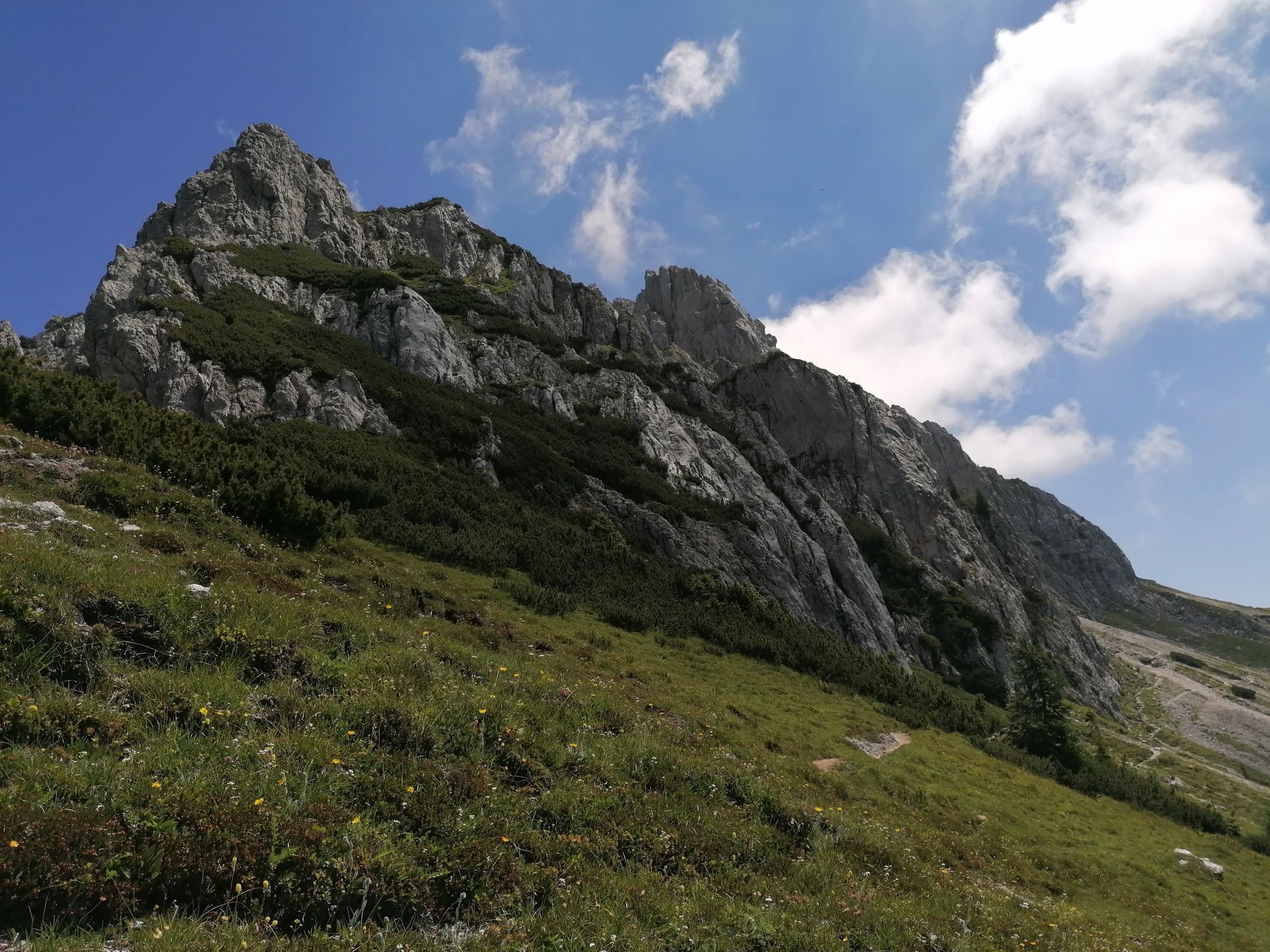
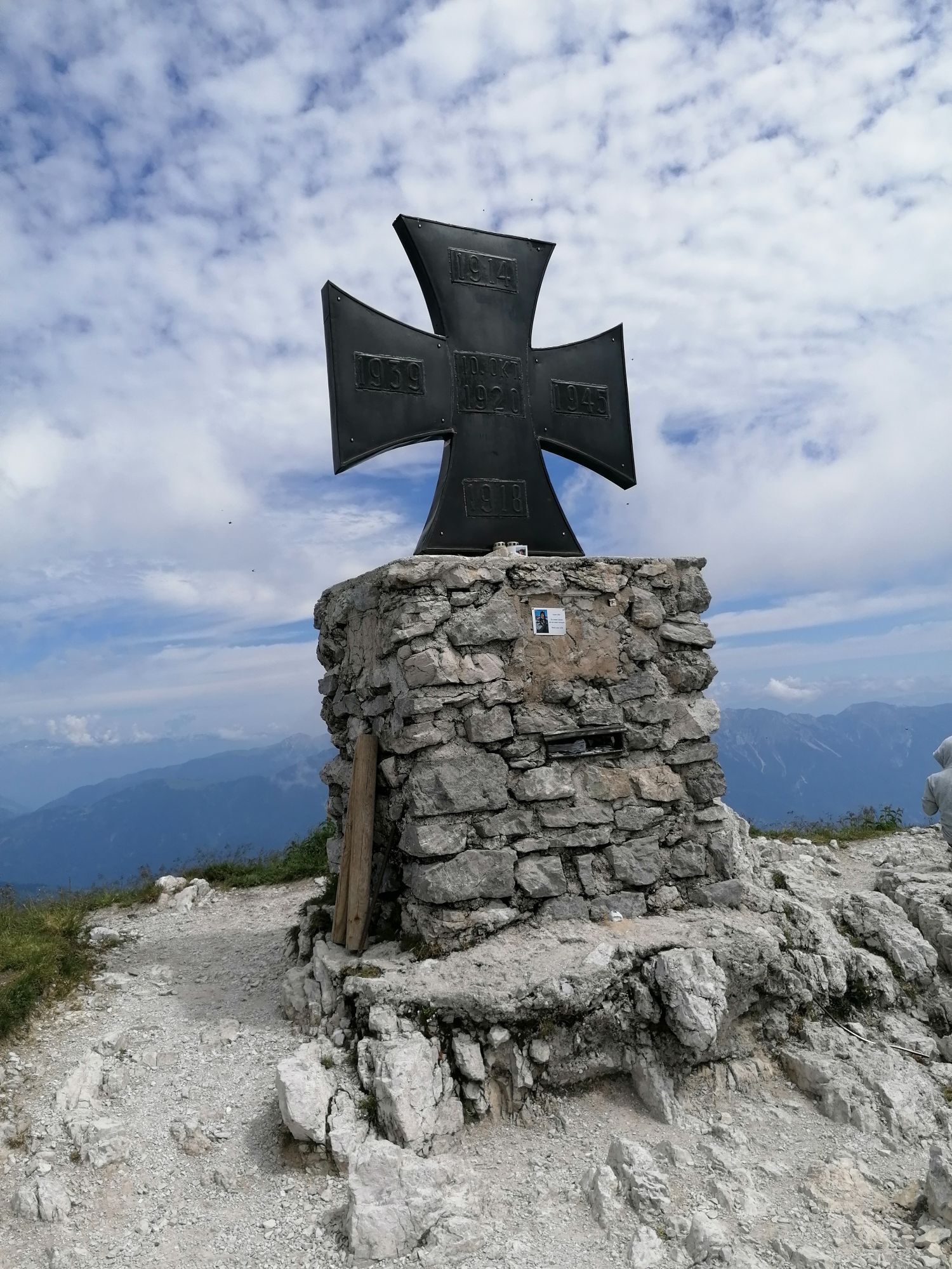
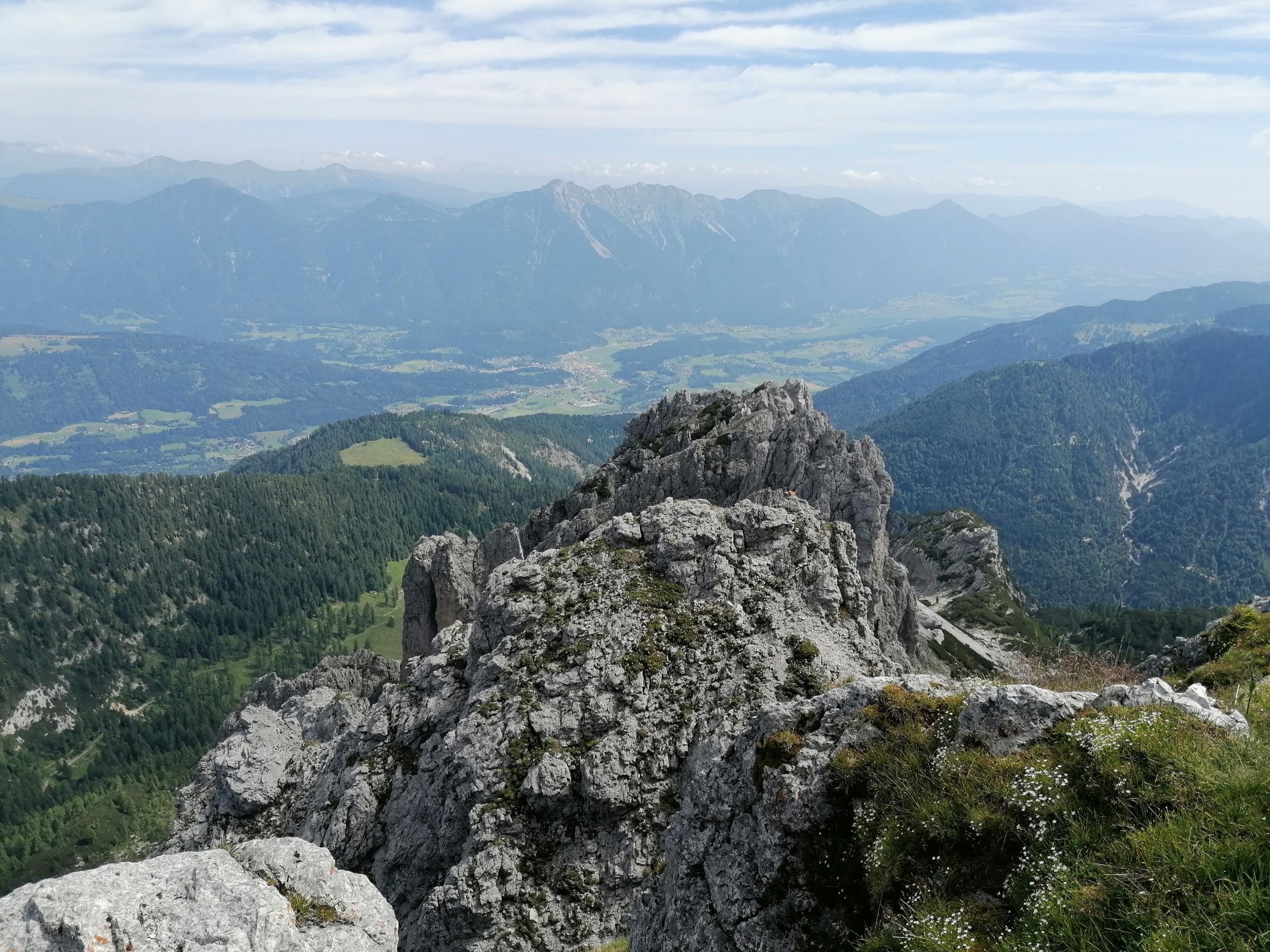
At the start of the hike, you don't head directly to the Alm but keep right about 50 m before the Alm on path number 03, which leads you through alpine meadows to the saddle between Garnitzenberg and Gartnerkofel and to the "Skyplate" viewing platform at the Gartnerkofel mountain station. You turn north over the ridge and, passing the entry to the Via Ferrata Däumling, reach the summit of the 2,195 m high Gartnerkofel via the south flank. The view from this impressive solitary and widely visible peak is breathtaking and extends from the Gail valley over large parts of the Carnic and Gailtal Alps as well as to the Grossglockner/Hohe Tauern and far beyond the borders to the Julian Alps. From the Gail valley, it's hard to believe that this rugged peak is relatively easy to ascend from the south.
After a well-deserved summit break, you descend about 200 meters on the same path to a fork at a lift station and choose the right path (leading west). Below the southwest flank of the Gartnerkofel, you first traverse descending and then ascending to Kühweger Törl. From there, it's only a short distance to the 1,998 m high small peak of Kammleiten.
Back at Kühweger Törl, you descend a few meters on the same path to a junction. You choose the downhill hiking trail number 10 and reach your starting point at the Watschiger Alm via this wonderful path through alpine meadows and dwarf pine fields. Your constellation hike is accomplished, but the best is yet to come: namely, a delicious stop at the Watschiger Alm. Enjoy your meal!
Da
Da
For the constellation hikes, "normal" equipment for alpine hikes on unpaved and partially rocky paths in the southern limestone Alps is sufficient. Sturdy footwear with a good tread sole for unpaved paths is, however, a "must," and taking telescopic hiking poles to relieve your knees on the partly longer descents is recommended. In summer, good sun protection and sufficient water are very important (there are not refreshment options on every stage). Enough warm clothing for possible weather changes is also important even in high summer. For all mountain huts along the trail, a hut sleeping bag and a towel must additionally be brought along.
Here is the detailed equipment list for your trail trip.
Achtsamkeit für Natur – Grundbesitzer – deine Gesundheit.... und die Sicherheit am Berg haben höchste Priorität bei deiner Tour und der damit verbundenen Tourenplanung!
Deshalb erkundigt euch vor jeder Wanderung über die Verhaltensregeln - Sicherheit-am-Berg - sowie die aktuelle Wetterlage.
Müllentsorgung:
Abfall ist nicht immer zu vermeiden - in der Natur hat er aber nichts zu suchen und ist ordnungsgemäß (bevorzugterweise im Tal bzw. zu Hause) zu entsorgen.
Notrufnummern:
Euronotruf: 112 (Zugang in jedes verfügbare Netz)
Alpinnotruf Österreich: 140
Access via Gailtalstraße B111 to the Tröpolach junction. Follow the B90 Nassfeld Pass road to the state border. From here, an asphalted road leads left (east) to the Watschiger Alm. From there hiking trails lead to Kammleiten and Gartnerkofel.
Arrival in Tröpolach is possible by public transport every hour (S4 to Hermagor and bus 5058 to Tröpolach). Further with the on-call bus to Nassfeld Pass (telephone registration required).
www.nassfeld.at/mobilitaet www.nassfeld.at/rufbusParking is available at the starting point! Also at the Nassfeld Pass.
Cheese alp: Watschiger Alm
Gartnerkofel – imposing but easily accessible peak with a fantastic panoramic view of Austrian, Italian, and Slovenian mountain peaks Kammleiten – small peak with a beautiful view over the Gail valley Carinthian Wulfenia – legendary endemic Ice Age flower "Skyplate" – viewing platform at GartnerkofelOn these day hikes, you can deeply immerse yourself in the history, nature, and culture of the explored landscape.

 Pridobite vpogled
Vedno v živo na mestu z več kot 9.500 spletnimi kamerami. bergfex Kot uporabnik Pro si lahko zdaj ogledate ustrezne spletne kamere za številne izlete v aplikaciji izleti iz. Tako si lahko neposredno ogledate trenutne razmere.
Pridobite vpogled
Vedno v živo na mestu z več kot 9.500 spletnimi kamerami. bergfex Kot uporabnik Pro si lahko zdaj ogledate ustrezne spletne kamere za številne izlete v aplikaciji izleti iz. Tako si lahko neposredno ogledate trenutne razmere.
Dejavnosti na poti
-

Hermagor-Pressegger See, Kärnten/Österreich
09.07.2026 – Pohodništvo -

Däumling / Gartnerkofel
08.07.2026 – Via ferrata -

Kammleitn
18.06.2026 – Pohodništvo -
Gartnerkofel
11.06.2026 – Pohodništvo -
Hermagor-Pressegger See, Kärnten/Österreich
04.06.2026 – Pohodništvo -
Gartnerkofel Nassfeld
06.09.2025 – Pohodništvo -

Watschinger Alm zum Gartnerkofel
23.08.2025 – Gorski pohodništvo -
Hermagor-Pressegger See, Kärnten/Österreich
23.08.2025 – Pohodništvo -

Hermagor-Pressegger See, Kärnten/Österreich
08.08.2025 – Pohodništvo -

Däumling mit Gartnerkofel
10.06.2025 – Via ferrata -

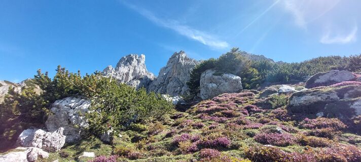
Hermagor-Pressegger See, Kärnten/Österreich
29.05.2025 – Pohodništvo -
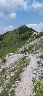
Gartnerkofel, Kärnten/Österreich
18.06.2023 – Pohodništvo -
Hermagor-Pressegger See, Kärnten/Österreich
18.06.2023 – Pohodništvo
Priljubljeni izleti v okolici
-
4.8
RW_N9 Weißenbachklamm
srednjaPohodništvo 7.49 km -
4.8
Tarvisio - Venzone (C101)
srednjaKolesarjenje na dolge razdalje 64.7 km -
4.7
W5 - Naggler Alm Round Weissensee
srednjaMountainbike 15.8 km -
4.9
Weißenbachklamm
težkoPohodništvo 5.80 km -
4.2
Slow Trail Pressegger See RW_N16
svetlobaPohodništvo 5.78 km -
4.6
Bergstation Weißensee bis Golz
srednjaPohodništvo 14.8 km -
4.2
Malurch Nassfeld
srednjaPohodništvo 9.60 km -
4.6
ST_N7 Gartnerkofel (2,195 m)
Smučarska tura 3.94 km -
3.7
Hermagor: Gartnerkofel
Pohodništvo 7.70 km -
4.5
KL_N2 Däumling
srednjaVia ferrata 1.78 km
Pohodništvo in sledenje


Ne zamudite ponudb in navdiha za naslednje počitnice
Vaš e-poštni naslov je bil dodan na poštni seznam.





