


Ski route Obergail - Schönjöchel

The classic ski route to Schönjöchel offers a technically not too difficult ascent, but it requires a lot of stamina. The first part of the ascent leads over an alpine path, then it continues over open...
The classic ski route to Schönjöchel offers a technically not too difficult ascent, but it requires a lot of stamina. The first part of the ascent leads over an alpine path, then it continues over open terrain to Schönjöchel. Due to the sheltered location and northern exposure, the route to Schönjöchel is usually feasible until spring.
------------------------------------------------------------------------------------------------------------------------------------------------------------------------
Important: Always pay attention to the current avalanche warning level and inform yourself about the current path and weather conditions before the route!


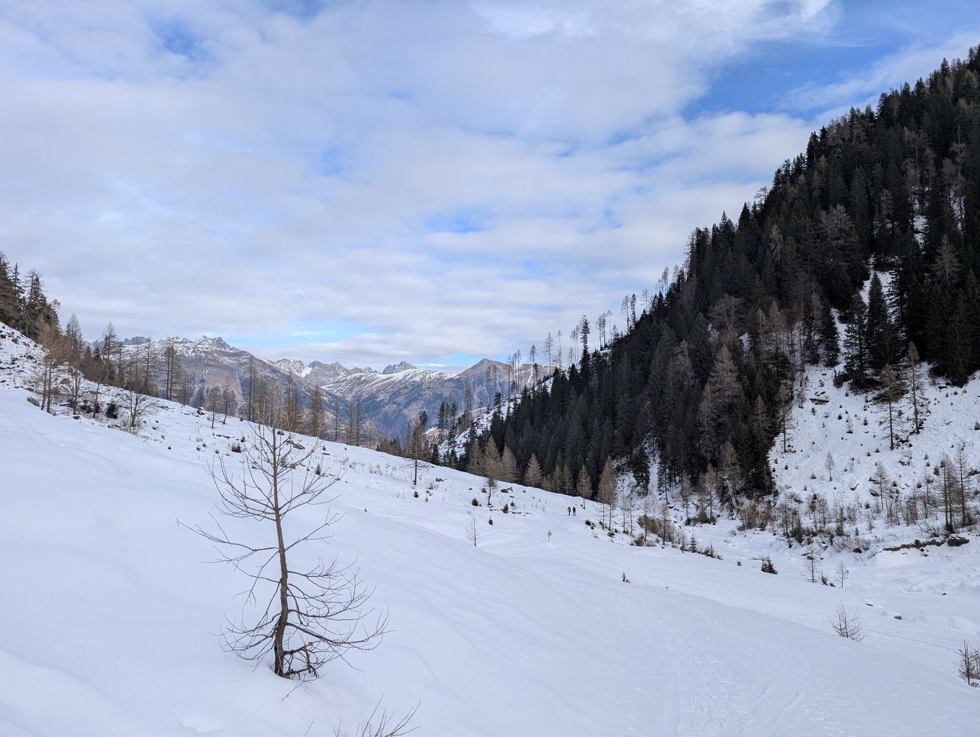
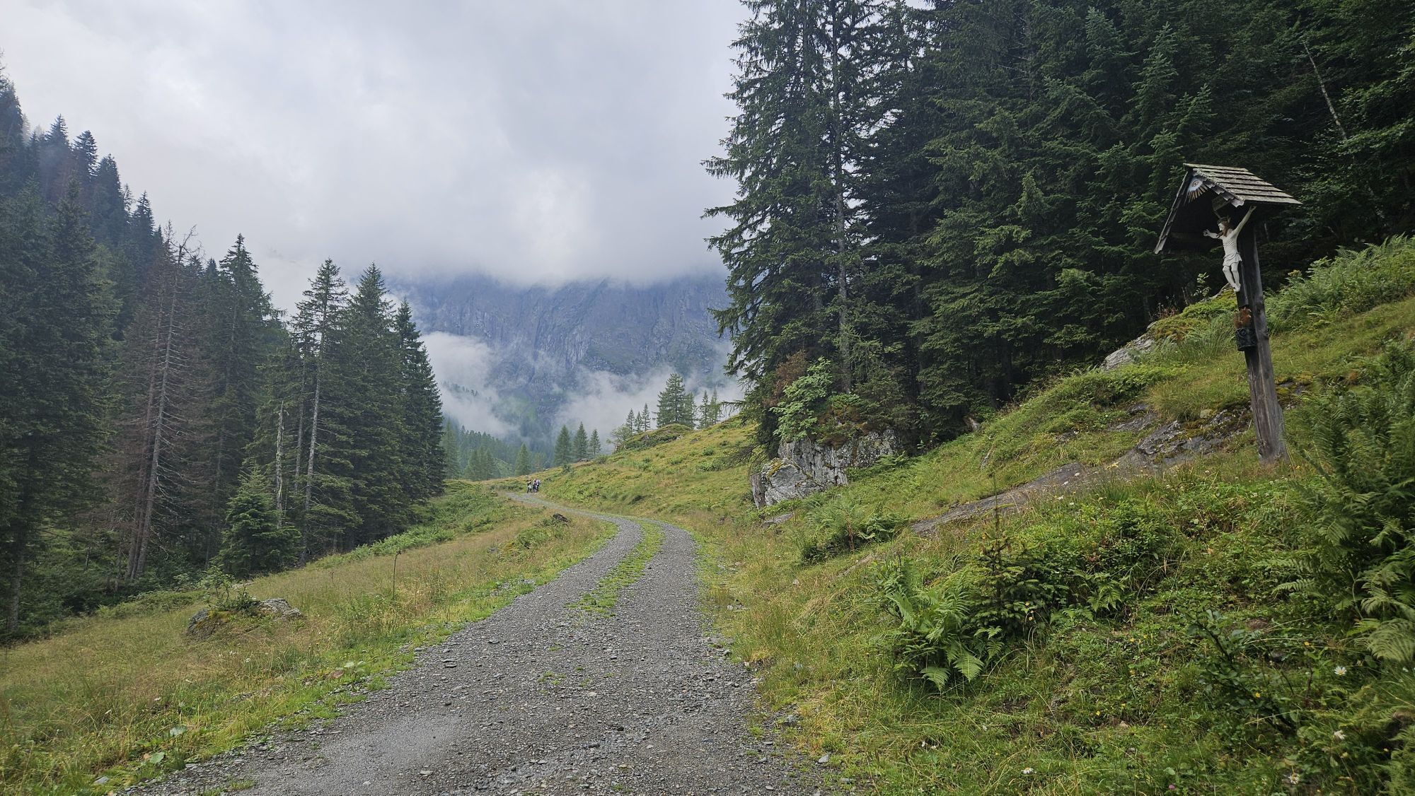
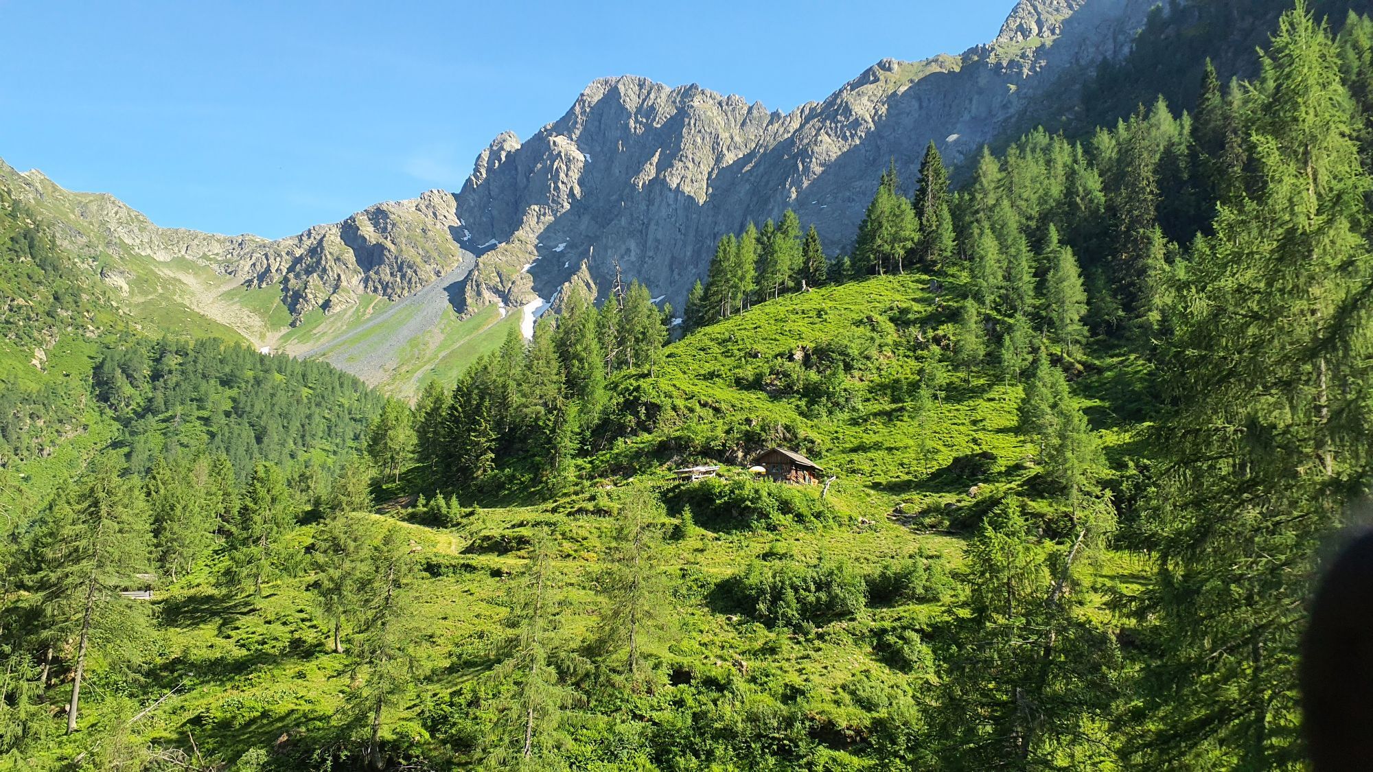
Extremely beautiful ski route. The starting point is the parking lot at the Mühlenstüberl in Obergail.
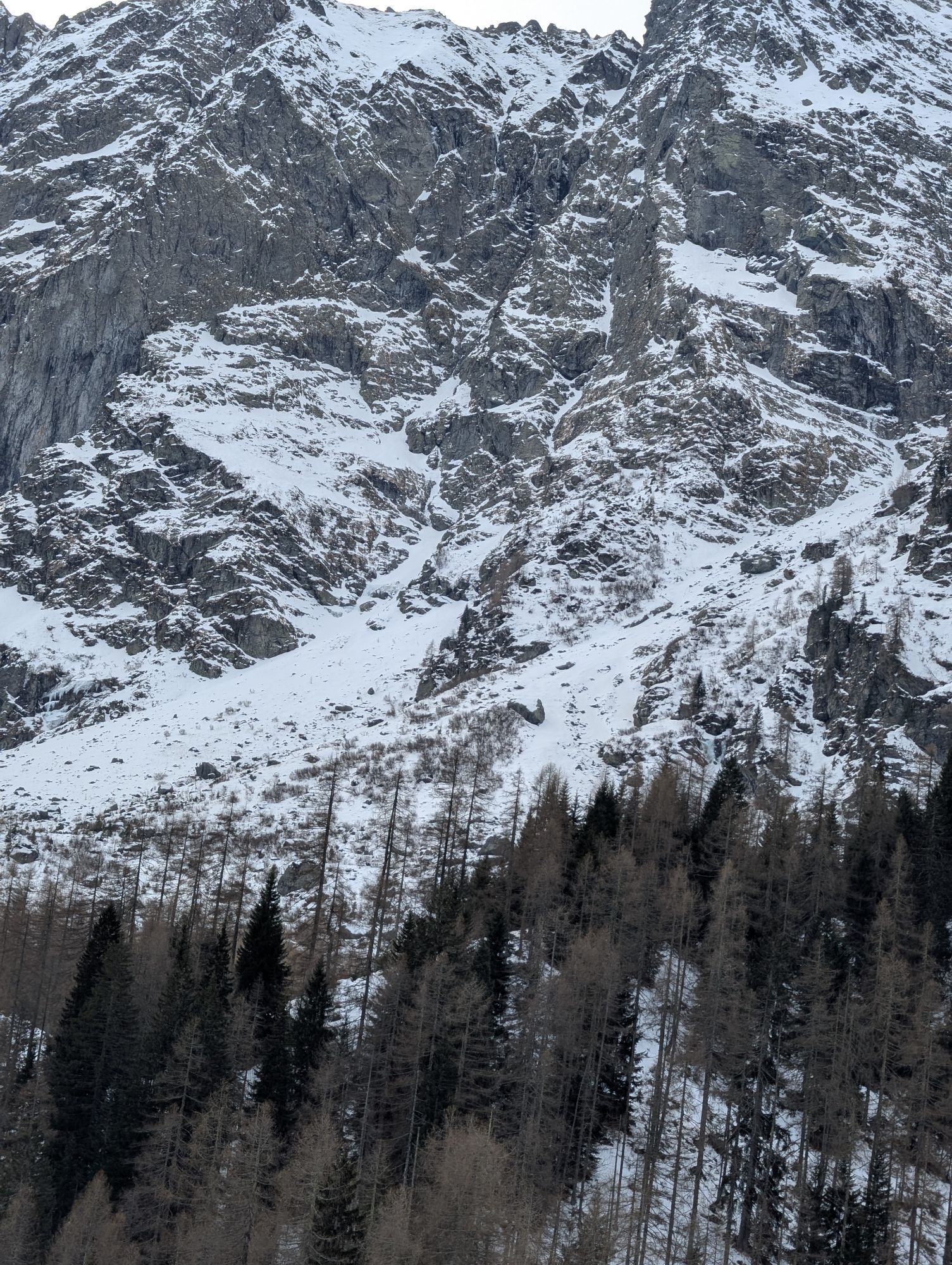
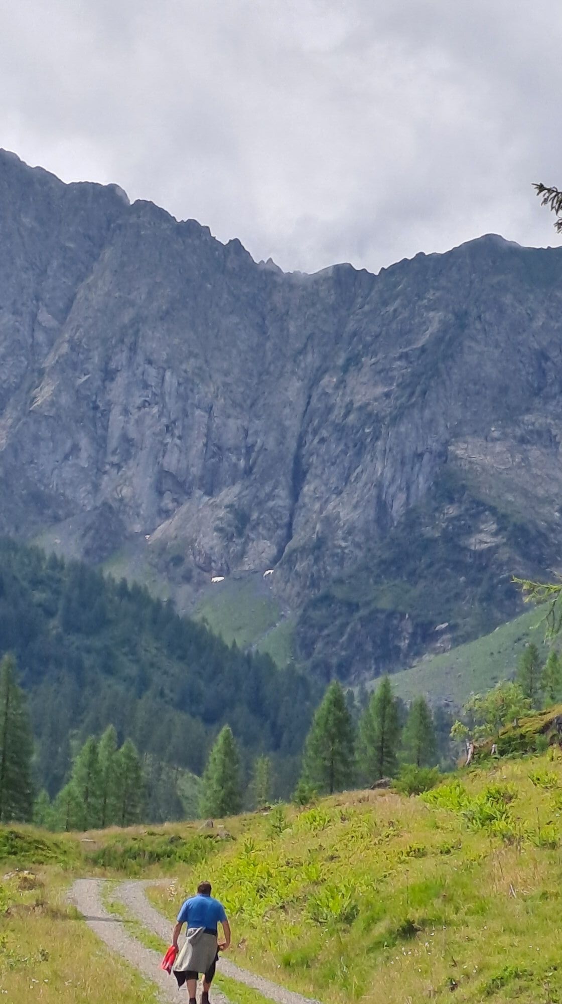
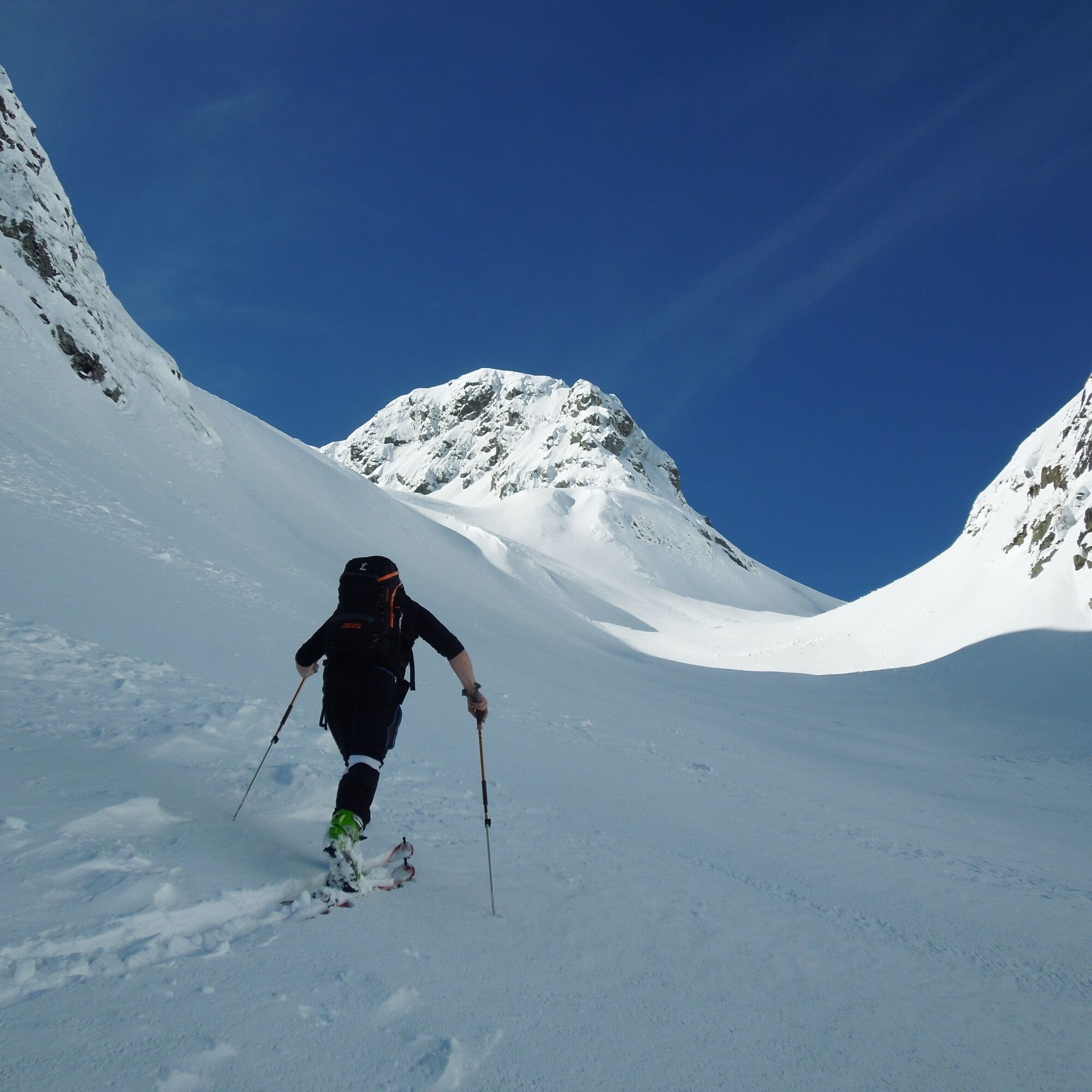
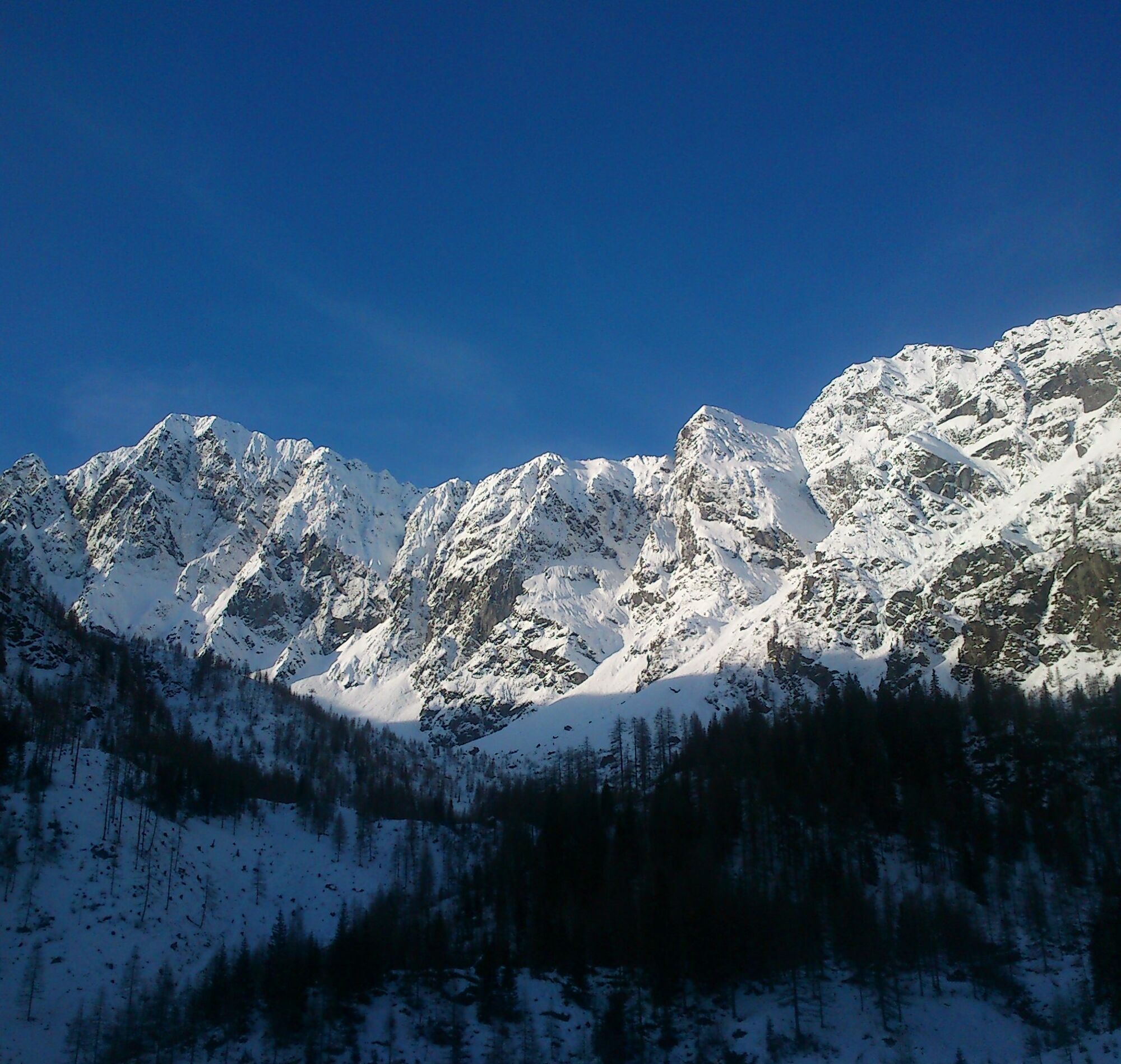
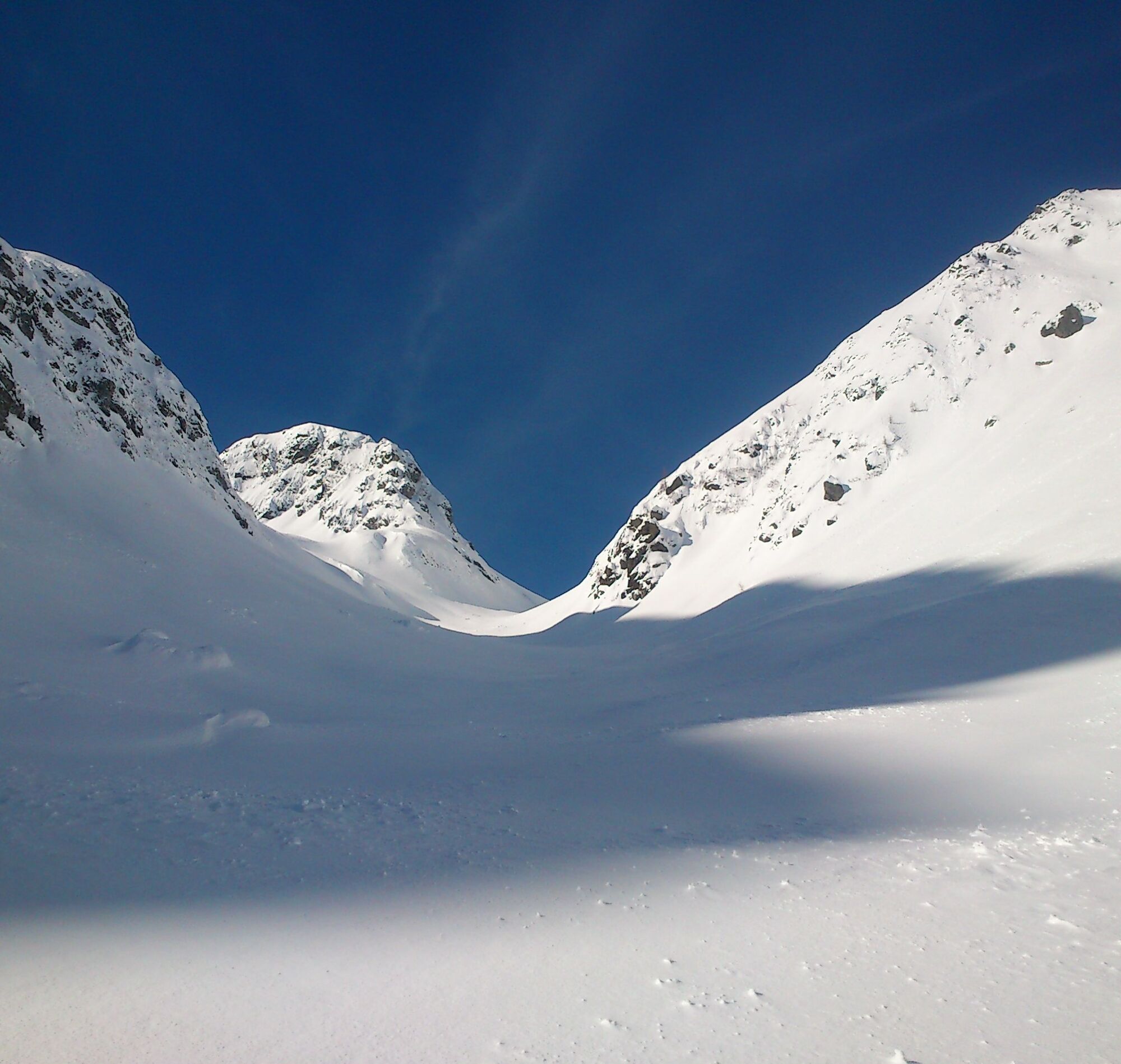
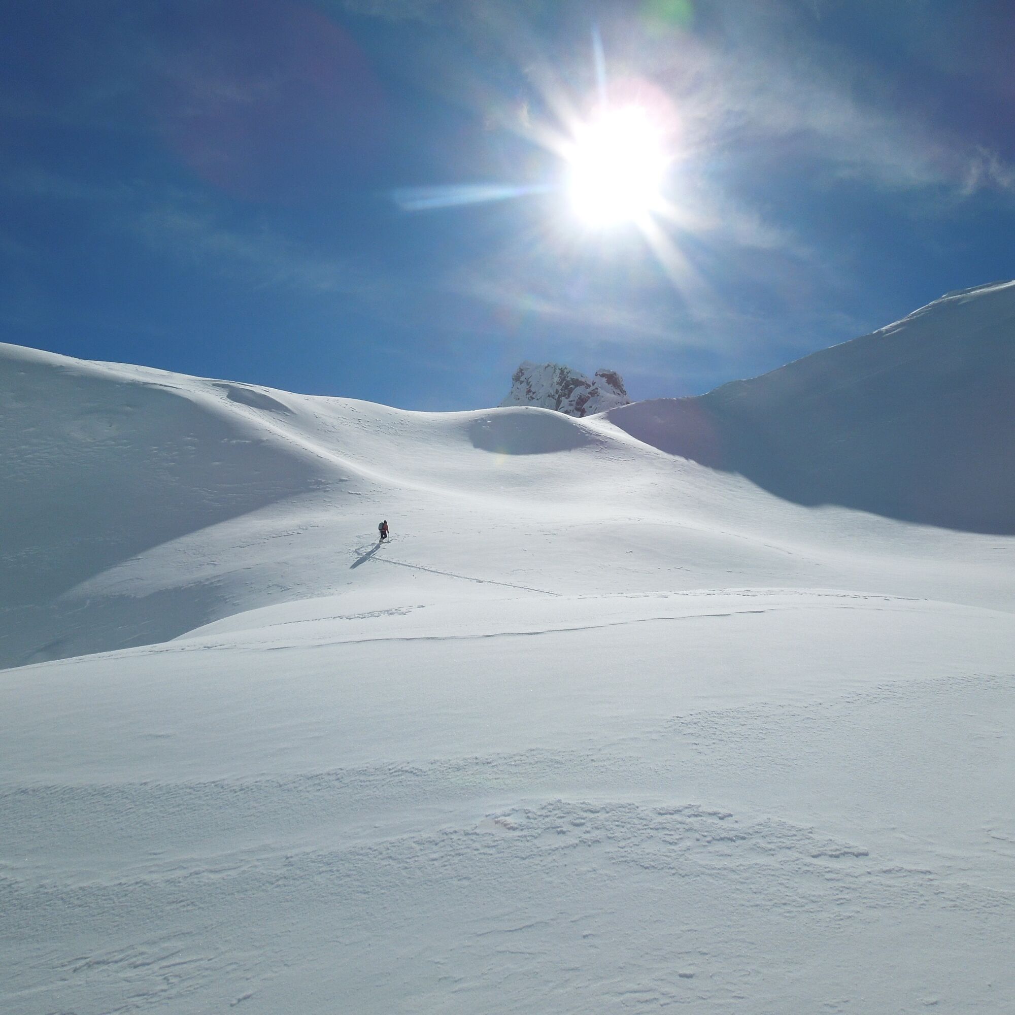
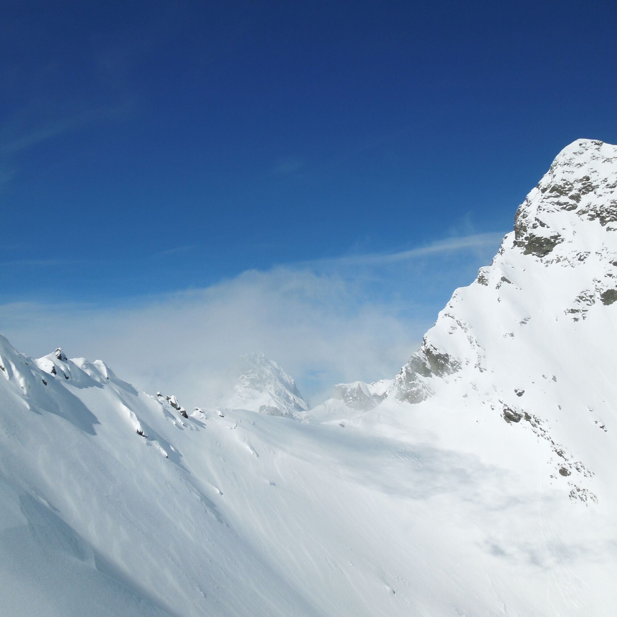
At first, you walk along the alpine road to the Obergailerbach (bridge). There the path splits and you follow the right one, passing the Madonna until after about 1 hour of walking you reach the more open terrain of the Obergailer Alm. After a few meters, you leave the alpine path at a signpost (Enderberghütte) to the right and climb up to the Enderberghütte. The route leads steadily higher through a wide basin. However, a bit of caution is needed on the steep slopes on the left and right. Shortly before the Raudenscharte, you leave the basin to the left to a hill (Testekogel). Over a steep ridge with several hairpin bends, you finally reach the highest point of the route. The view of the southern Carnic Alps, Monte Peralba, Monte Avanza, and Monte Chiadenis is impressive (1,100 m elevation gain, 3.5 hours).
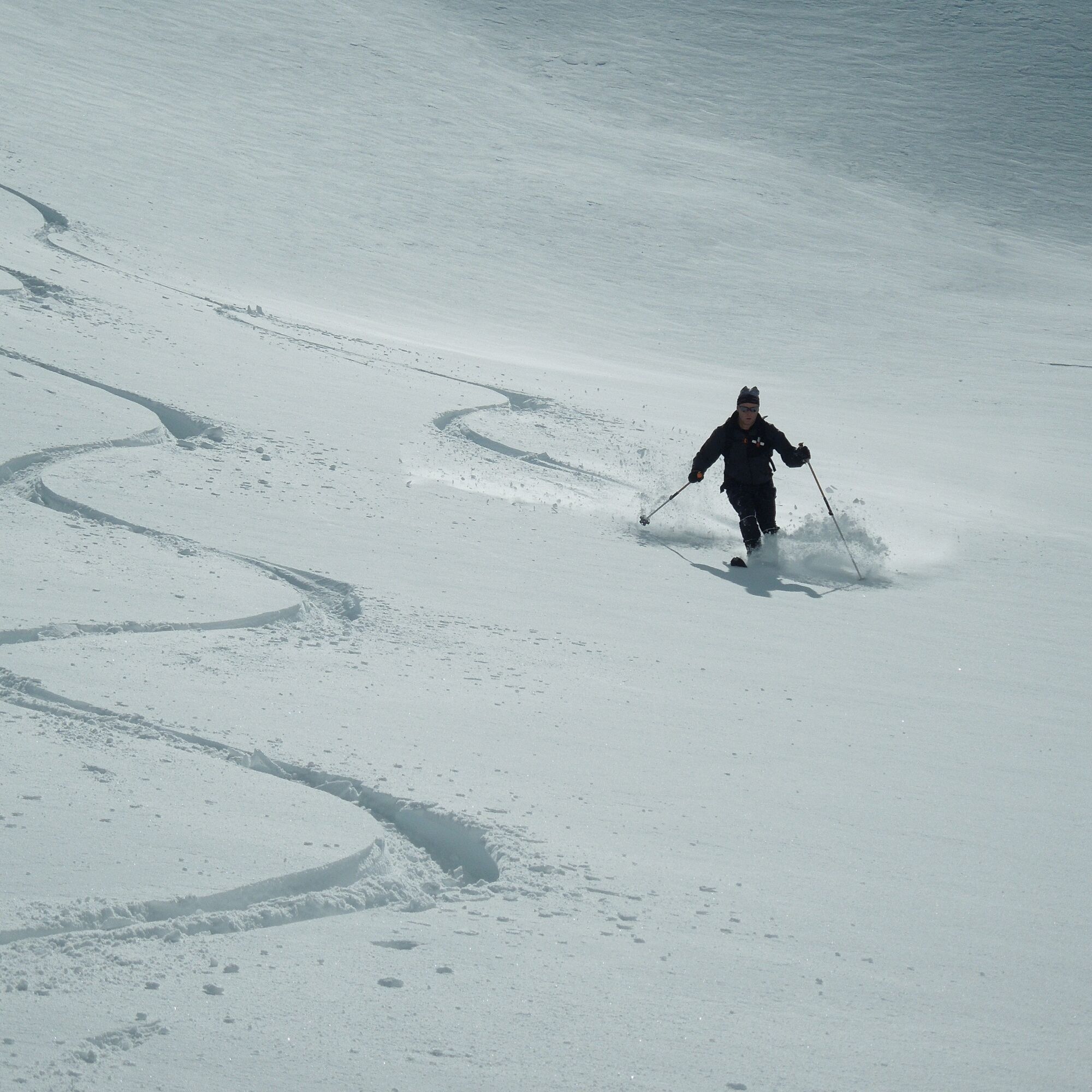
The descent follows the ascent track.
Ski touring and standard safety equipment, crampons
Always pay attention to the current avalanche warning level!
From Kötschach-Mauthen via the B111 westbound to the village of Liesing and further to the district of Klebas, shortly afterwards turn left towards Obergail. Upon arriving in Obergail, the road forks; take the left road to the Mühlenstüberl. From Lienz/East Tyrol, turn in Tassenbach towards Obertilliach/Maria Luggau and follow the road; 2 km after the village of St. Lorenzen, turn right towards Obergail and follow the description above to the starting point of the route.
The starting point of the route is not accessible by public transport.
At the Mühlenstüberl (not open in winter), there are sufficient parking facilities available.
In late winter/spring be sure to pay attention to the daily warming, as this often leads to avalanche triggers in the area.

Priljubljeni izleti v okolici
- 4,7
Karlsbader Hütte über Rudl-Eller-Weg
težkoPohodništvo 5,10 km - 4,5
Karnischer Höhenweg – Etappe 4: Hochweißsteinhaus – Wolayersee Hütte
težkoPohodništvo v daljavo 15,9 km - 4,8
Pirknerklamm (C)
srednjaVia ferrata 2 km - 4,8
Lienzer Dolomiten-Lasertörl
srednjaPohodništvo 13,2 km - 4,7
Obergail - Obergailer Alm - Obergailer Lake - Enderberg hut - Source for Health & Peace - Madonna circular hiking route - Obergail
srednjaPohodništvo 11,4 km - 3,9
Karlsbader Hütte - Lienzer Dolomiten
Pohodništvo 8 km - 4,9
Karnischer Hauptkamm - Hohe Warte 2.780m - Hike and Bike
težkoGorski pohodništvo 19,5 km - 5,0
Porzehütte (1.942 m)
svetlobaPohodništvo 9,01 km - 4,3
Mountain bike route from the Hubertus Chapel to the Wolayersee
težkoMountainbike 9,06 km - 3,9
Summit hike to the Hochstadel
srednjaPohodništvo 7,83 km
Pohodništvo in sledenje


Ne zamudite ponudb in navdiha za naslednje počitnice
Vaš e-poštni naslov je bil dodan na poštni seznam.