


Dobratsch - Heiligengeist to Rosstratte


The Dobratsch - THE ski touring mountain of Carinthia
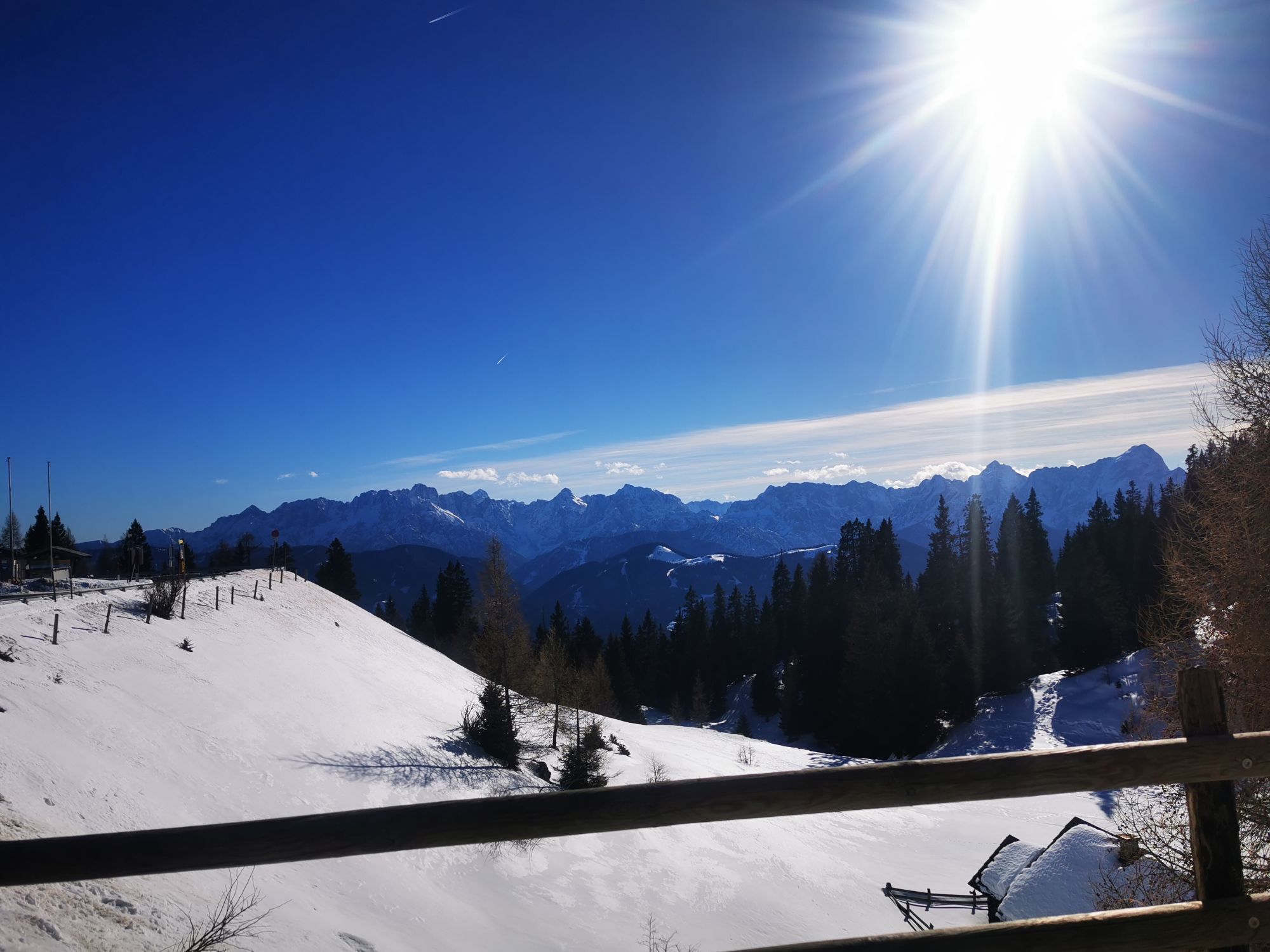
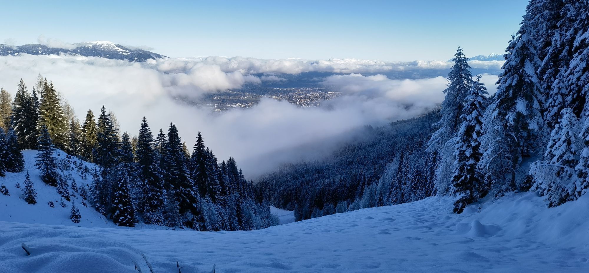
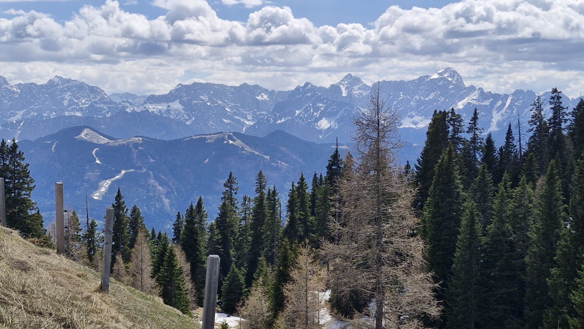
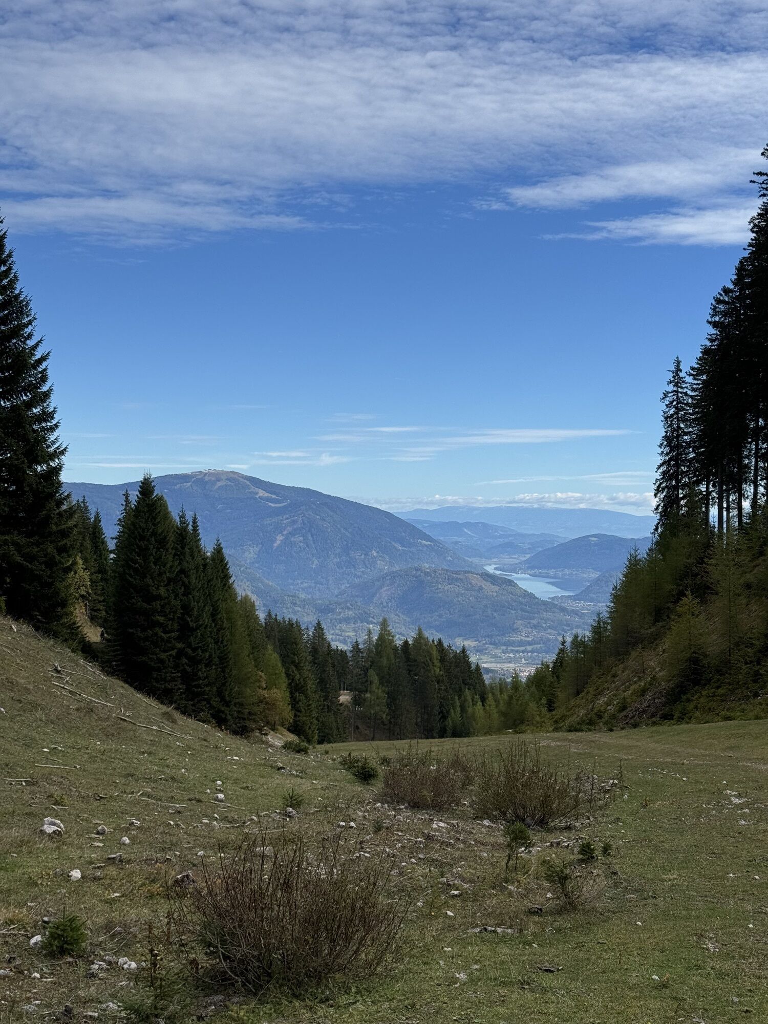
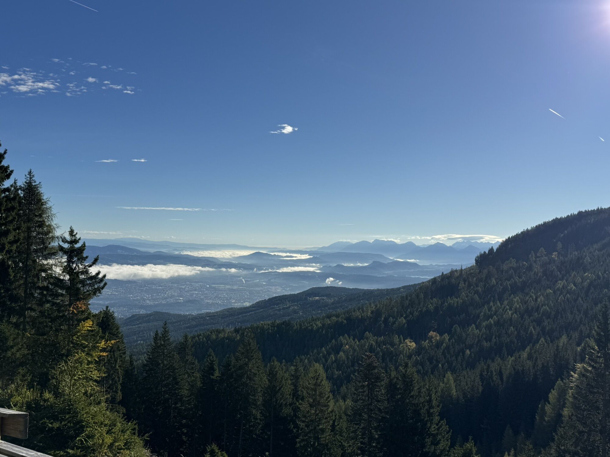
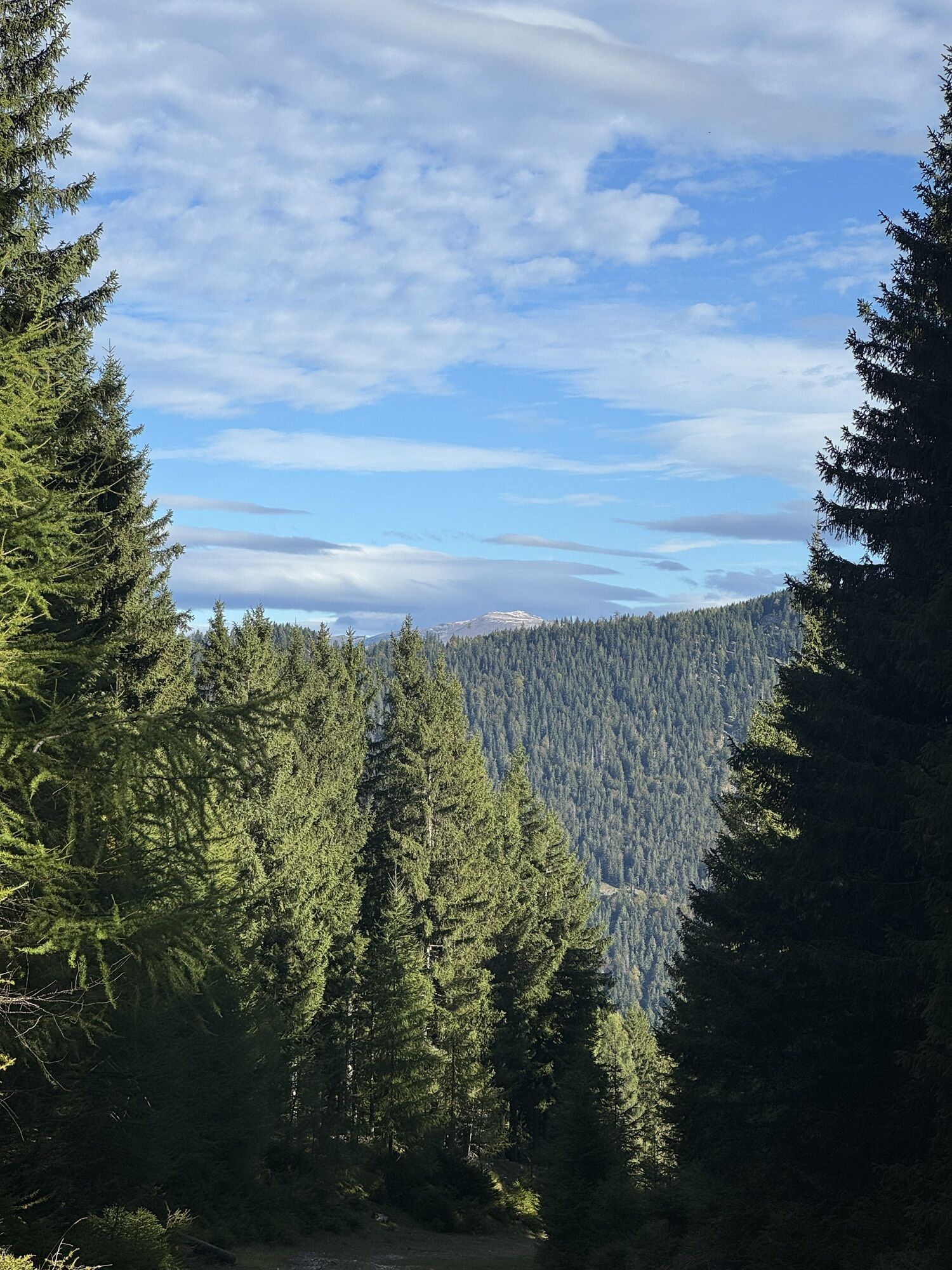
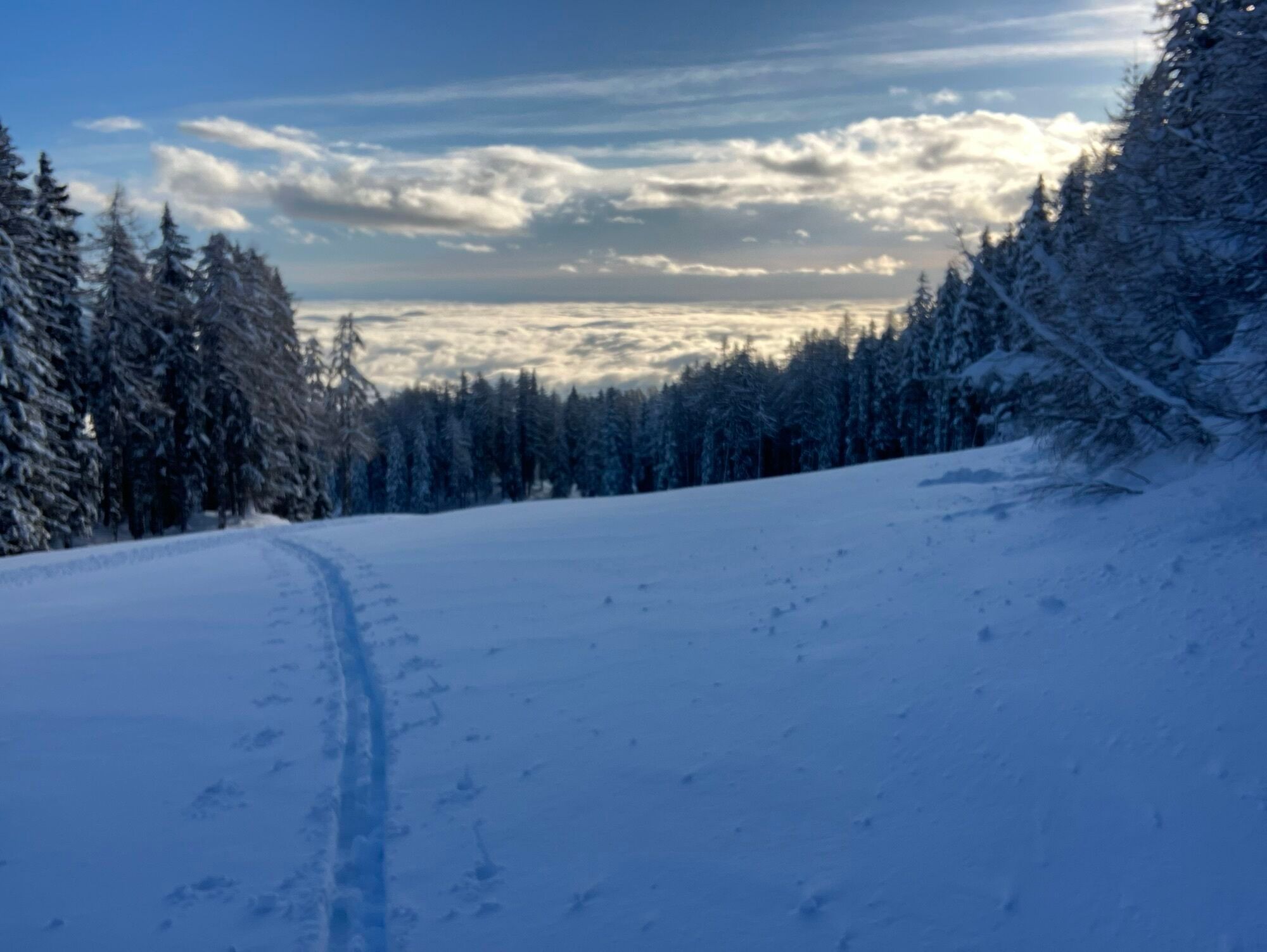
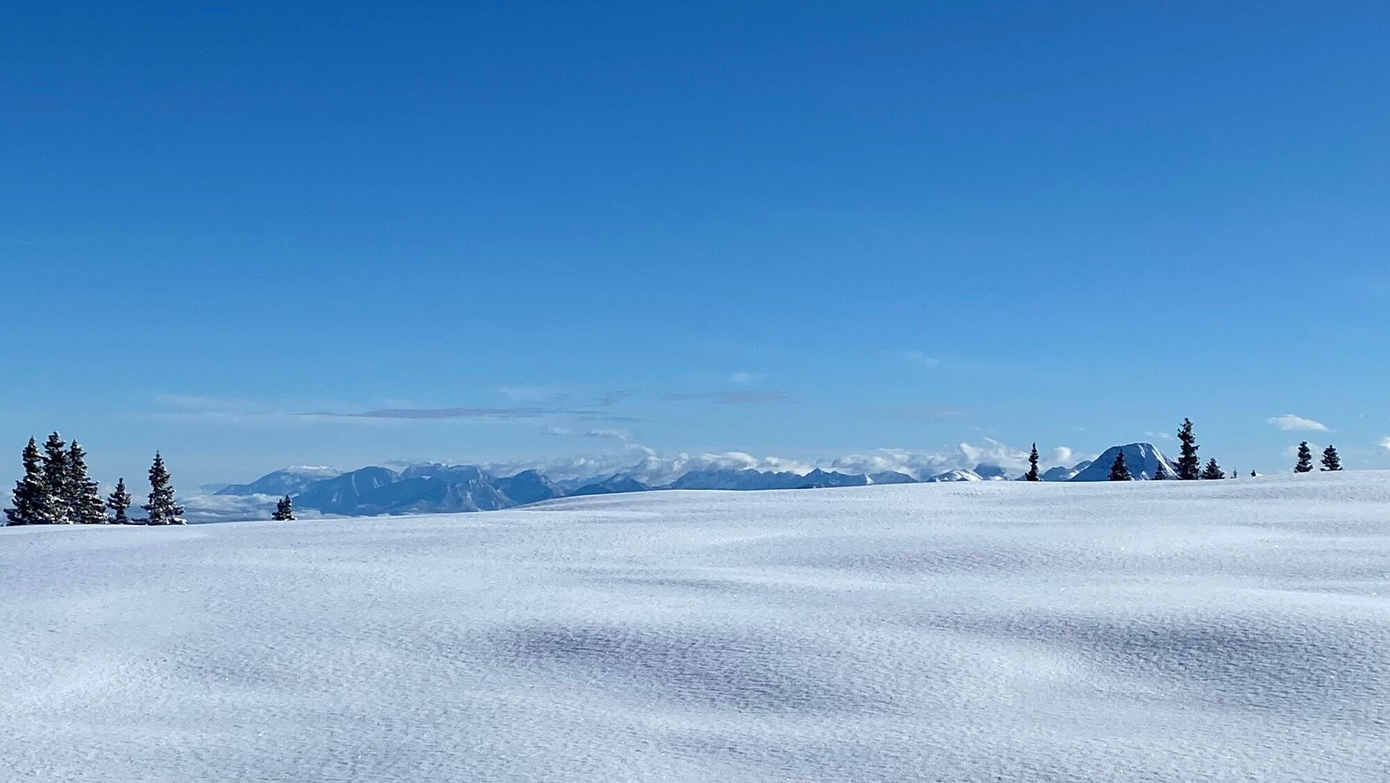
The Dobratsch Nature Park is a true paradise for ski tourers. Here you will find beautiful routes, be rewarded with unique views, and can then refresh...
The Dobratsch - THE ski touring mountain of Carinthia
The Dobratsch Nature Park is a true paradise for ski tourers. Here you will find beautiful routes, be rewarded with unique views, and can then refresh yourself in one of the popular huts with delicious Carinthian specialties.
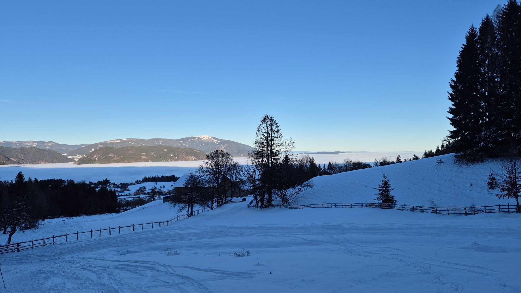
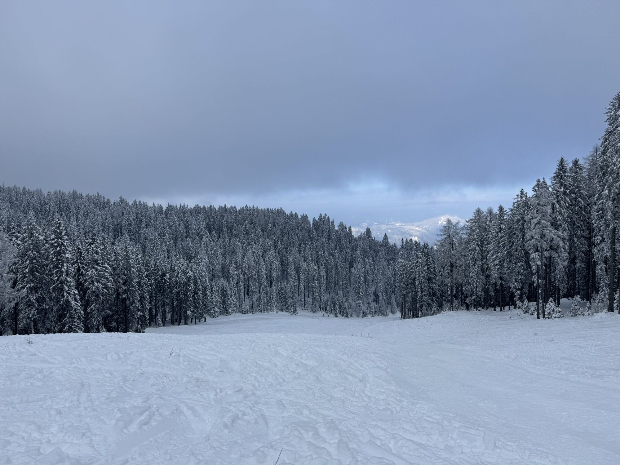
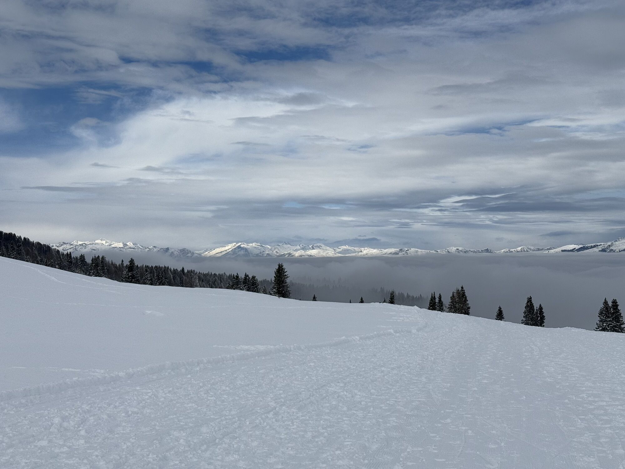
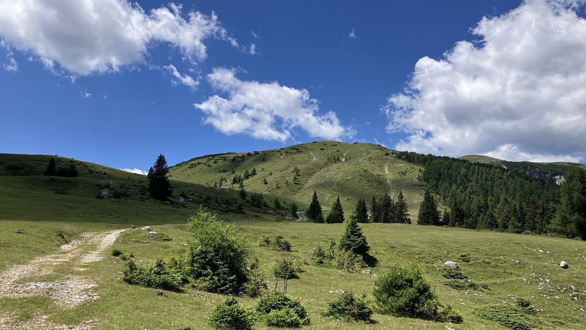
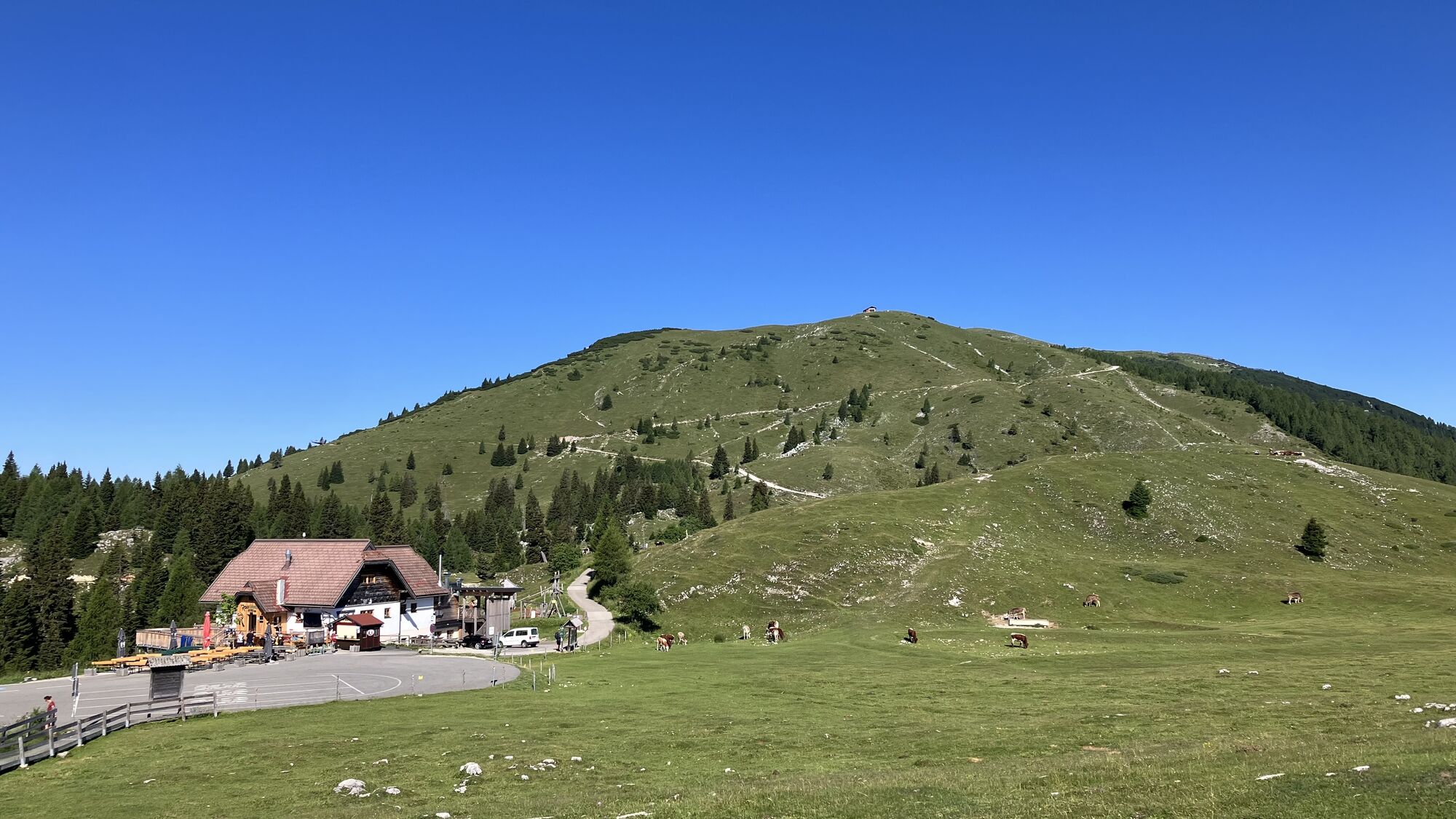
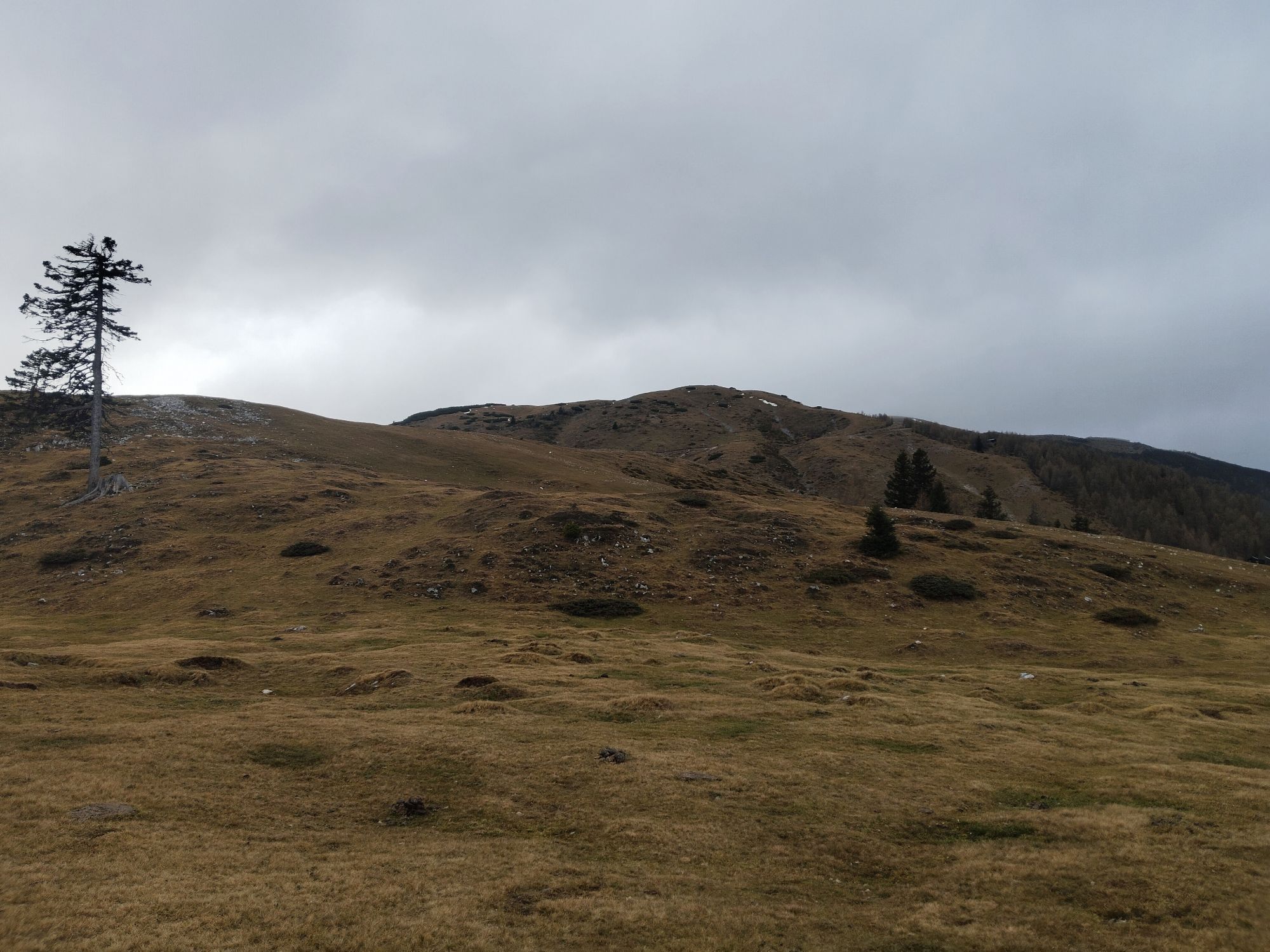
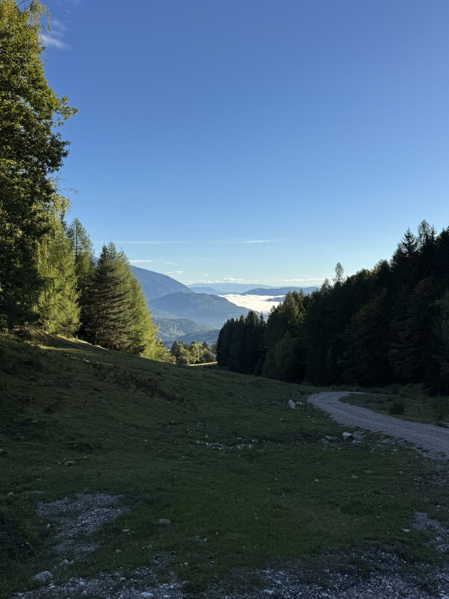
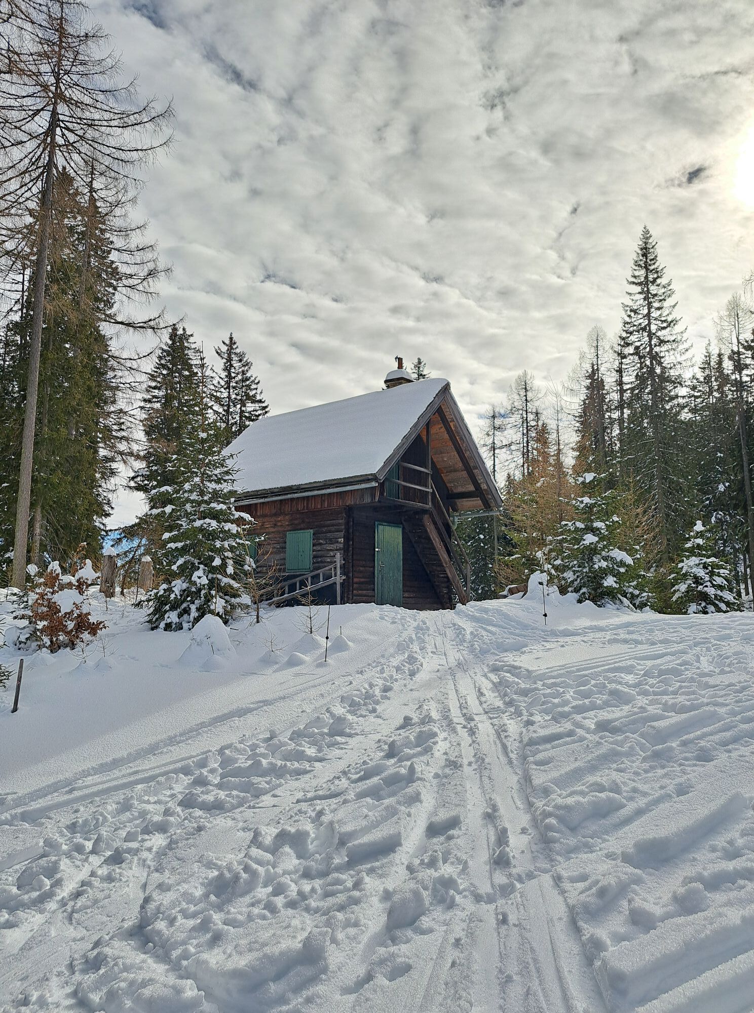
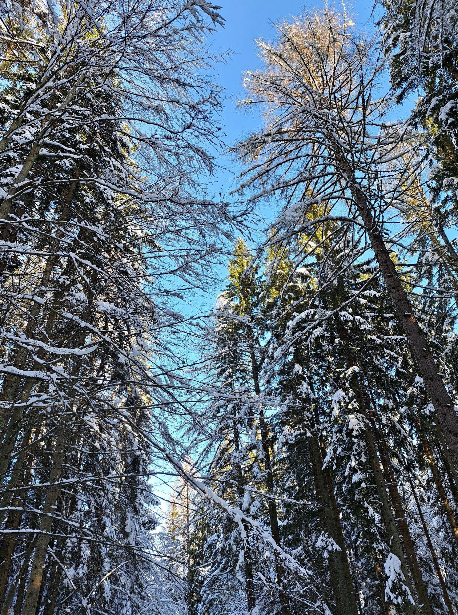
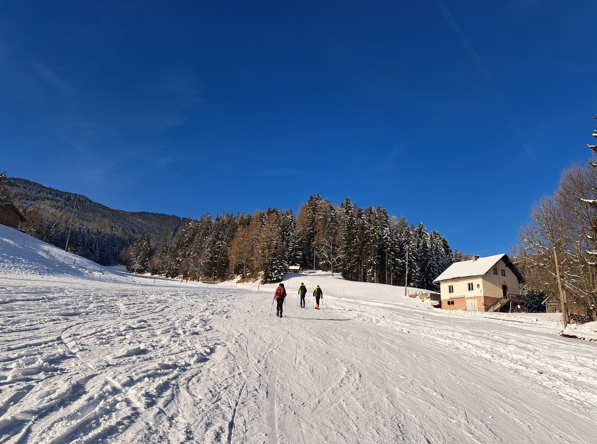
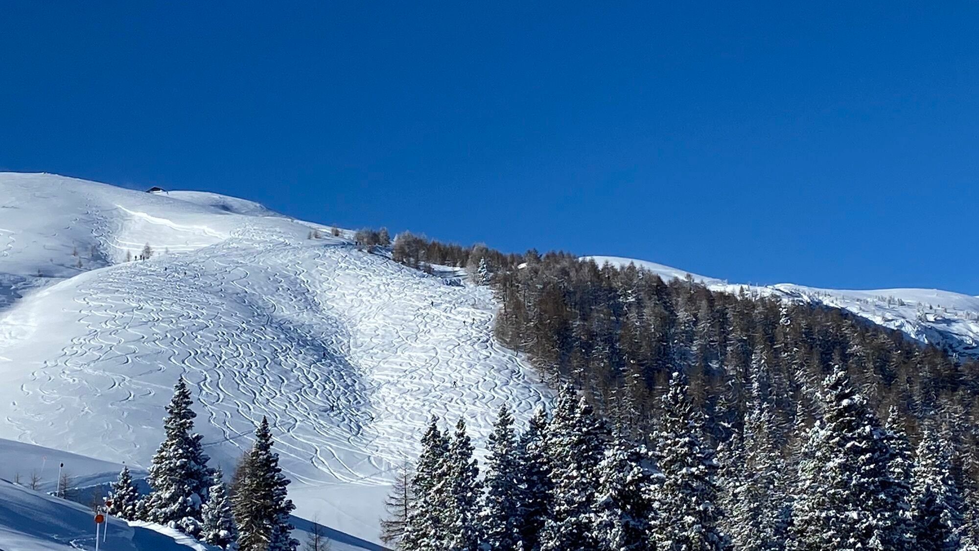
In the Dobratsch Nature Park, you will find numerous easy-going tours with light to moderate ascent. The starting point for the ski tour on the Dobratsch is Heiligengeist.
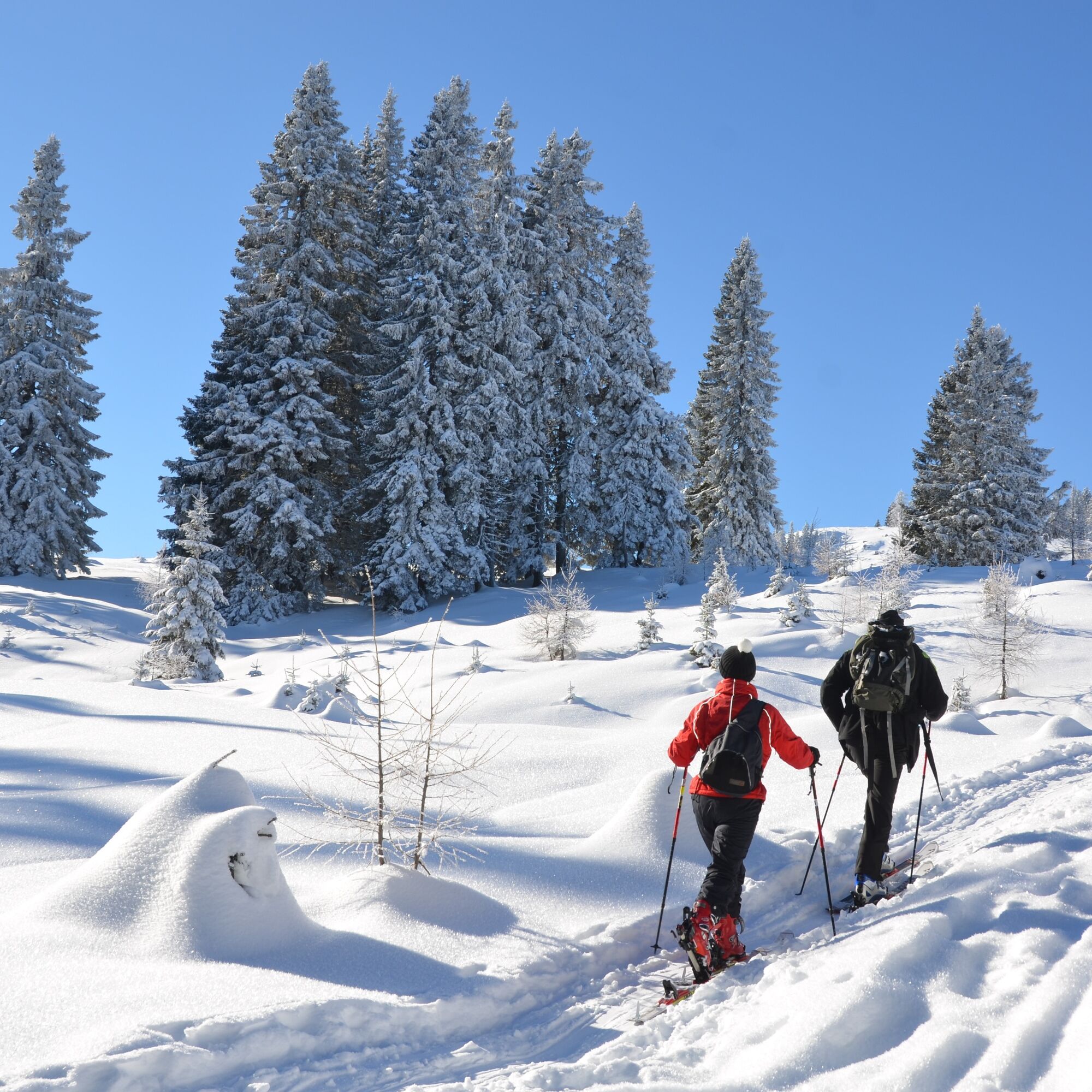
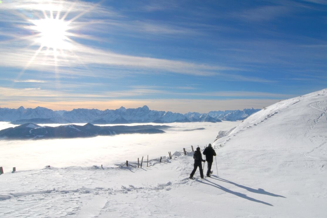
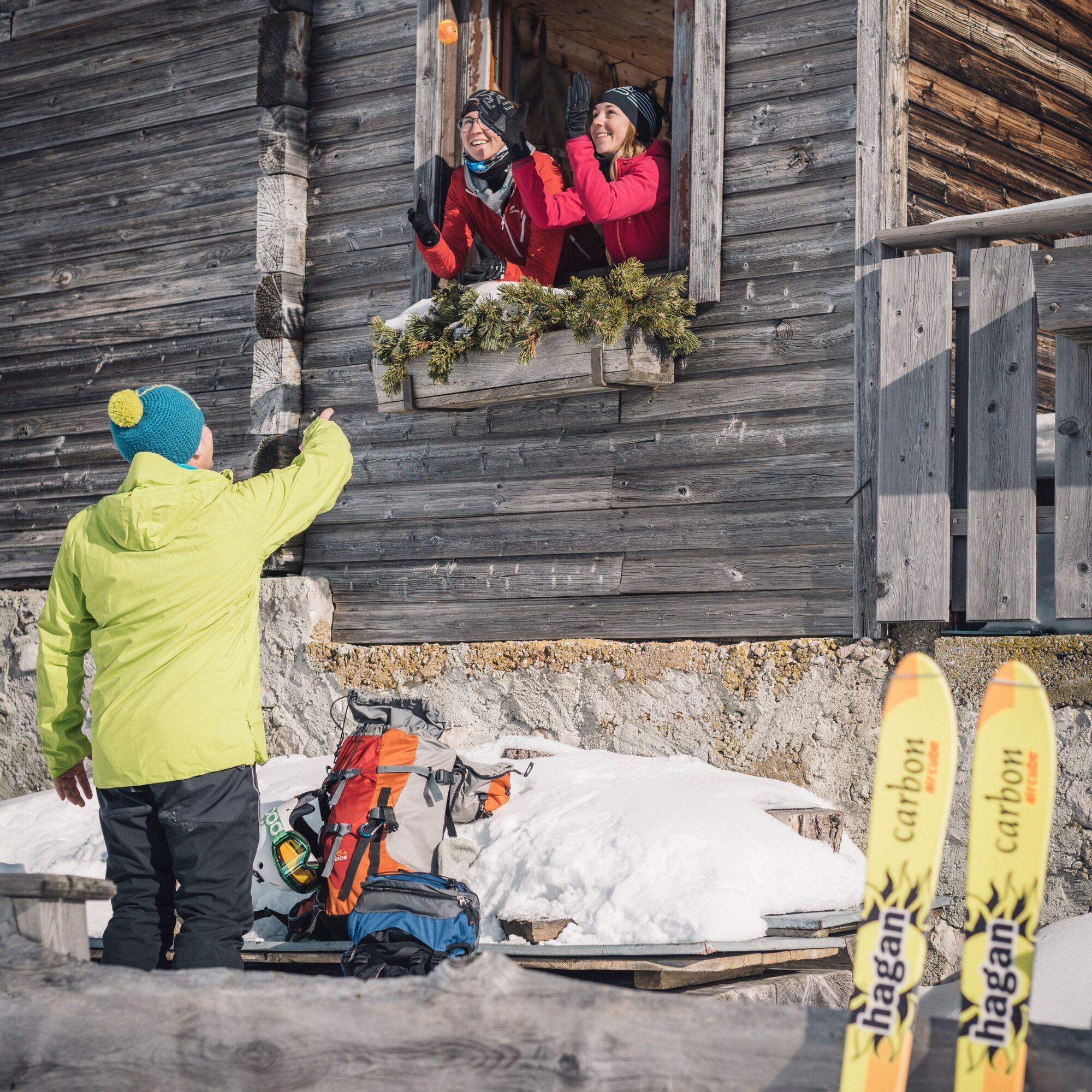
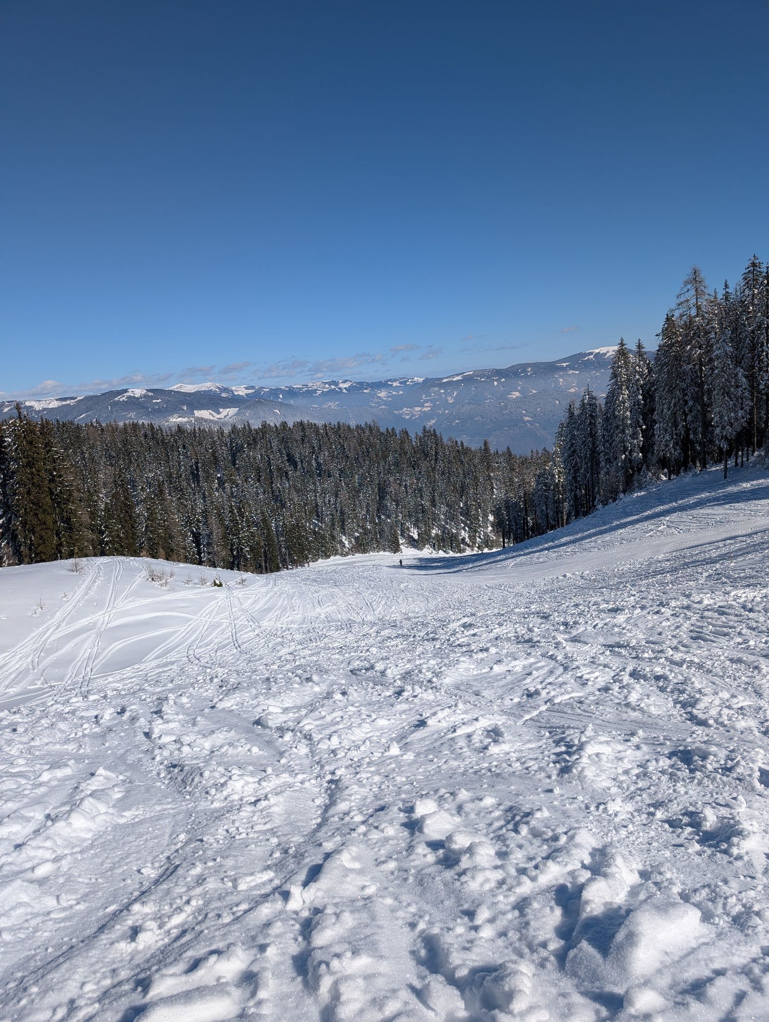
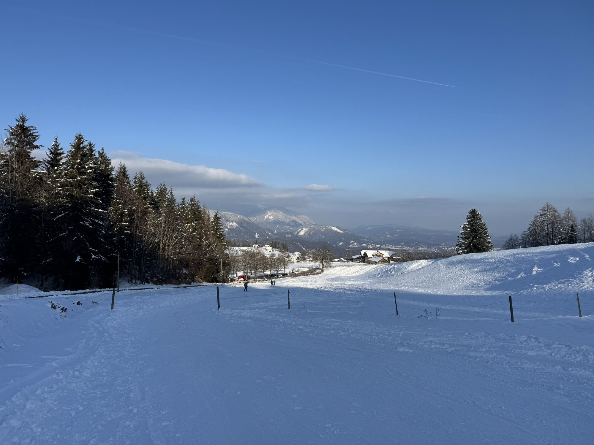
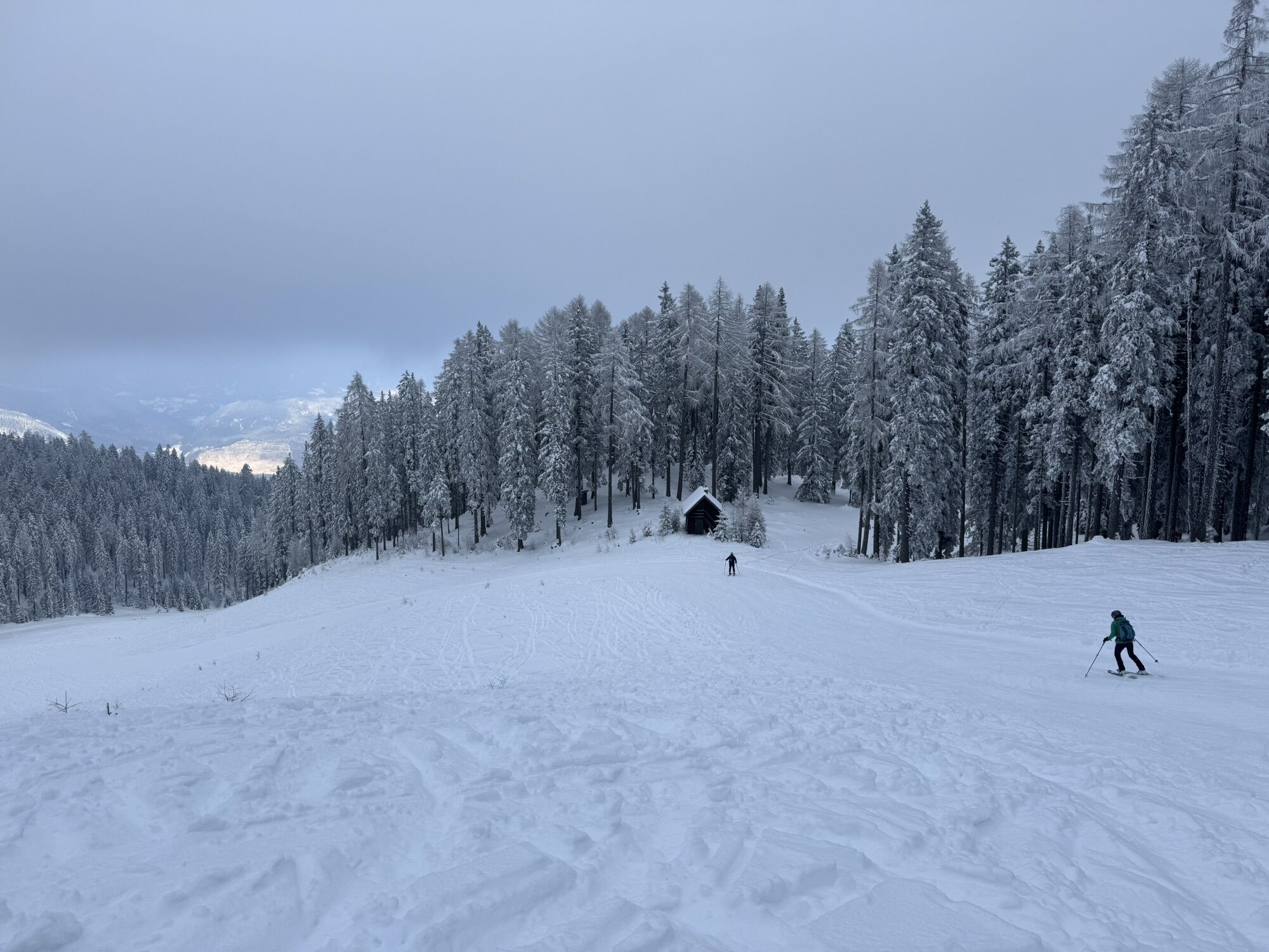
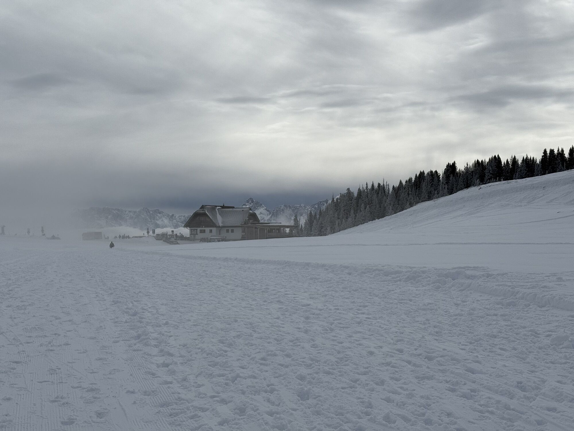
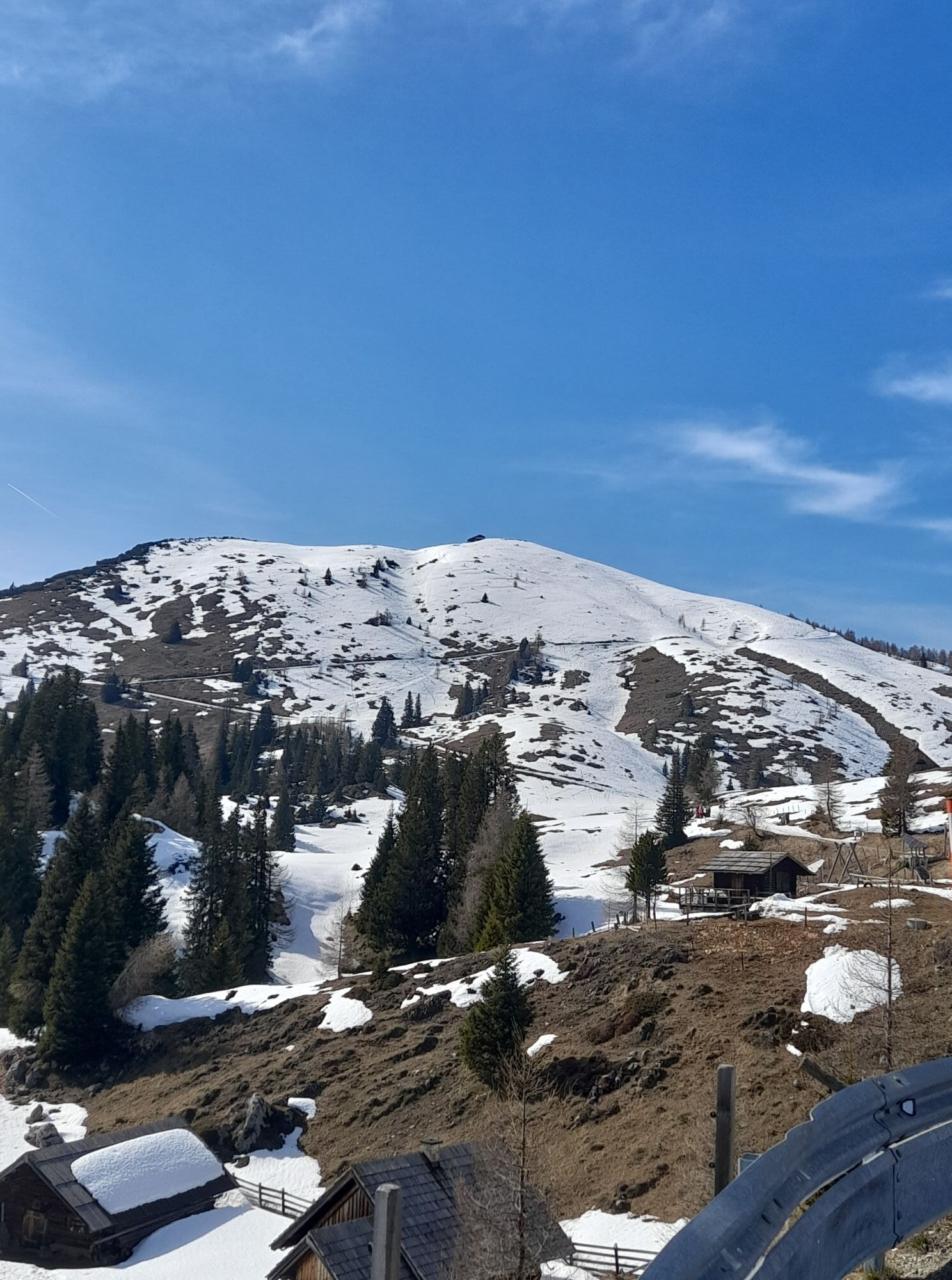
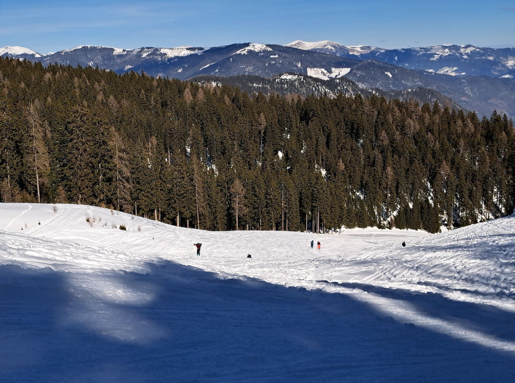
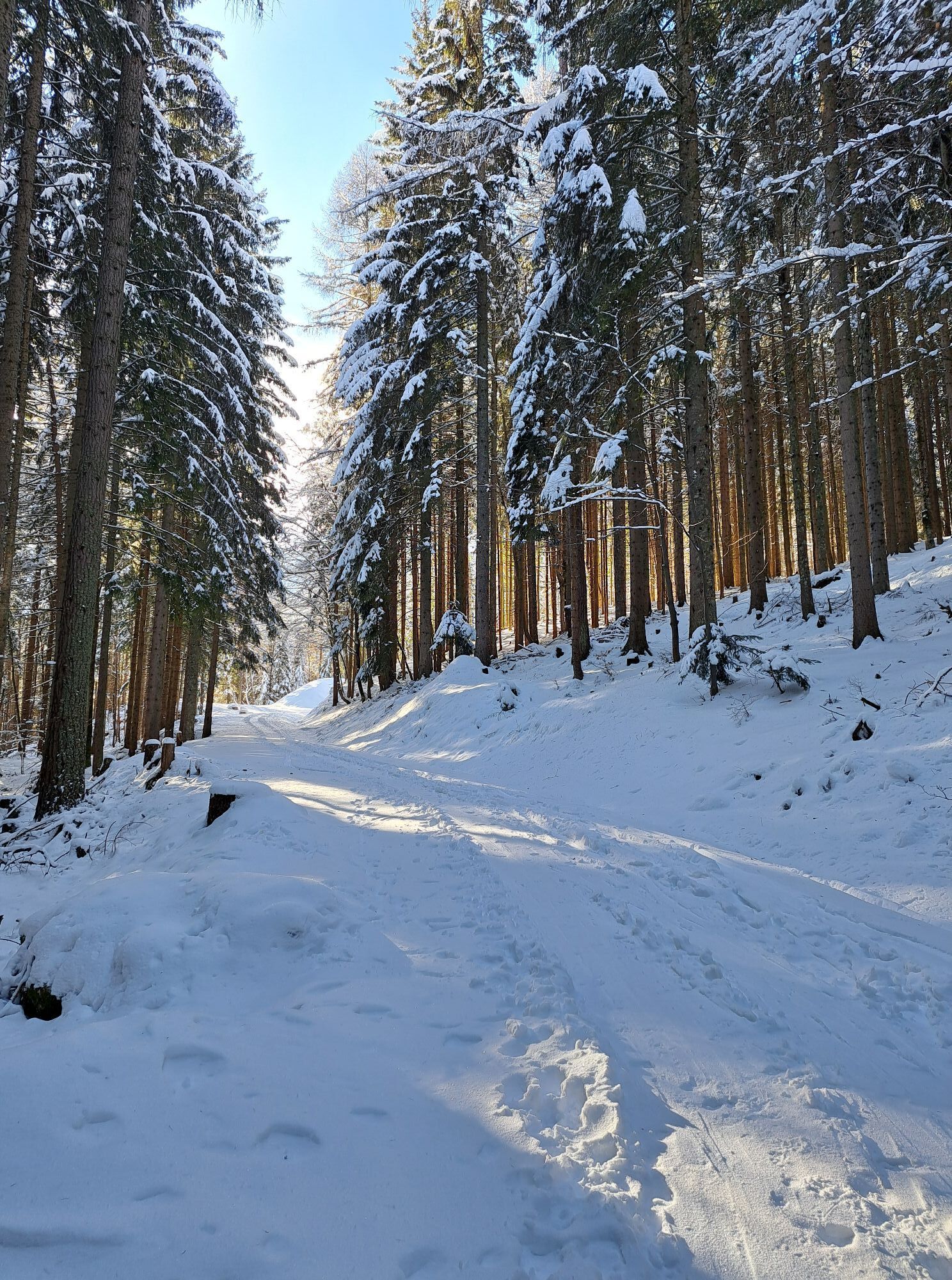
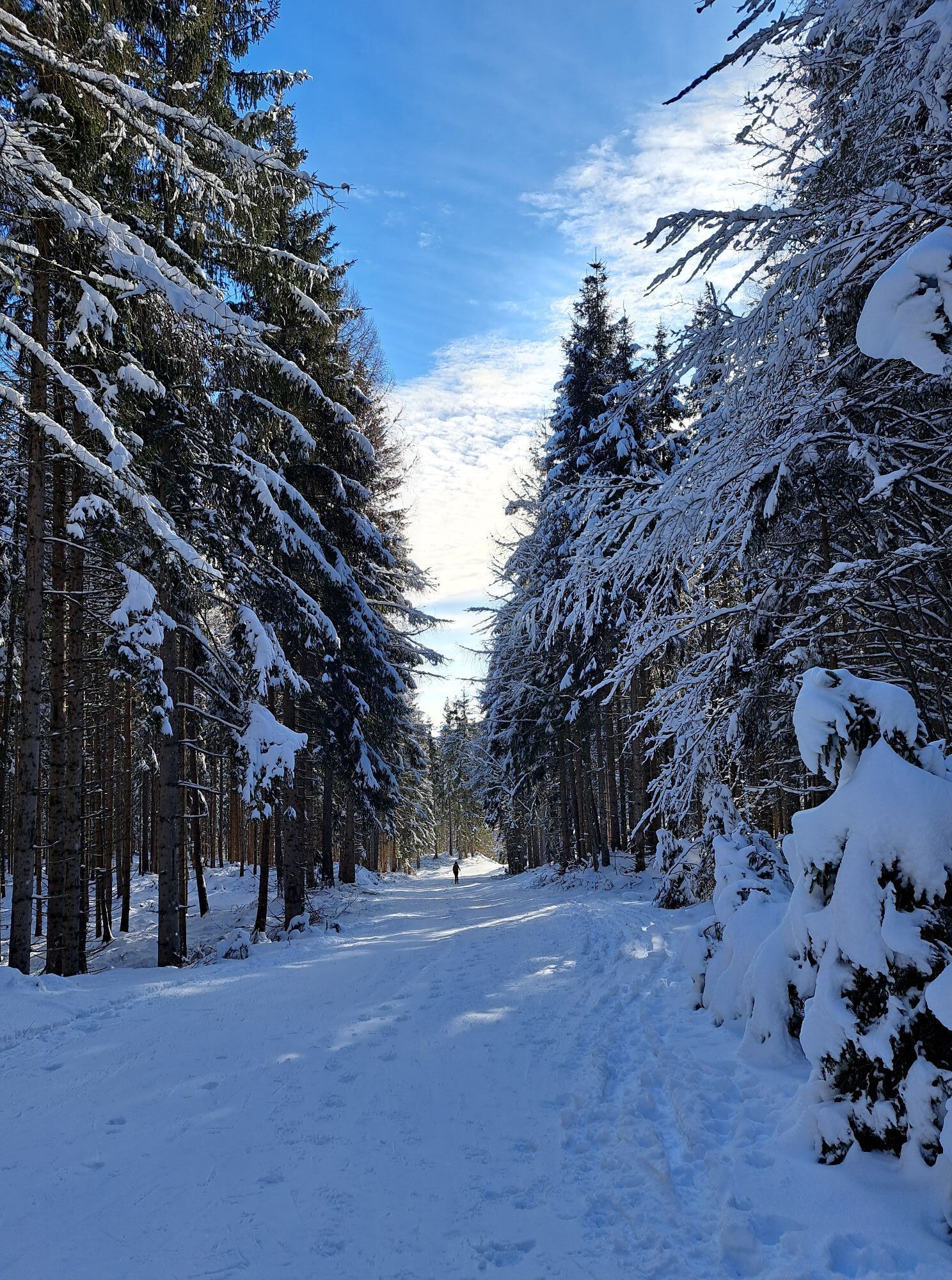
From the Heiligengeist parking lot, start with a gentle ascent to the right along the former ski slope until the so-called "family run" merges from the right. Here, turn right and reach the junction with trail no. 291 within a few minutes on foot. After the forest climb, the trail leads back to the flat slope at the height of Waagtal. From here, follow your own line across the open areas and pass the unmanaged Ottohütte at 1543 m. Exactly 200 vertical meters from here to the scenic Rosstratte, which becomes a pleasure in the gentle terrain. The descent follows the ascent track back to Waagtal. From Waagtal, choose between the former V73 slope and the already mentioned family run to return to the starting point.
Ski touring equipment (avalanche transceiver, probe, avalanche shovel), change of clothes, hot drink, first aid kit, mobile phone
Please enjoy your ski tours on the prepared ascents and descents, away from nature zones. The NATURE ZONE (see sign at the starting point) should not be entered due to the presence of capercaillie, snow grouse, and black grouse populations. Traversing young forests (under 3 m trunk height) is prohibited according to forestry law!
Heiligengeist is best accessed via the A10 exit "Villach-West" - from there follow the signs to Bad Bleiberg. In Heiligengeist, turn left to the parking lot.
Heiligengeist is best reached by bus from Villach main station.
There are ample parking options at the Heiligengeist parking lot.
Spletne kamere s turneje
Priljubljeni izleti v okolici
-
4.5
Auf den Dobratsch mit der ganzen Familie
Pohodništvo 8.40 km -
4.9
Orrido dello Slizza, Tarvisio, Italië
svetlobaPohodništvo 2.65 km -
4.2
Schwarzsee circular hiking trail
srednjaPohodništvo 7.79 km -
5.0
Amberg: Palnock 1901m, Schwarzsee, Rundstrecke
srednjaPohodništvo 7.94 km -
4.5
Gailtaler Alpen: Wanderung auf der Dobratsch
srednjaPohodništvo 8.50 km -
4.4
Mallestiger Mittagskogel
srednjaPohodništvo 8.17 km -
4.6
Mallestiger Mittagskogel
srednjaPohodništvo 11.6 km -
4.1
Gerlitzen - Hüttersteig
težkoPohodništvo 6.80 km -
4.5
Oswaldiberg St.Ruprecht
srednjaPohodništvo 6.69 km -
4.0
Dobratsch über den Jägersteig
Pohodništvo 4.30 km
Pohodništvo in sledenje


Ne zamudite ponudb in navdiha za naslednje počitnice
Vaš e-poštni naslov je bil dodan na poštni seznam.