







Hochkreuz
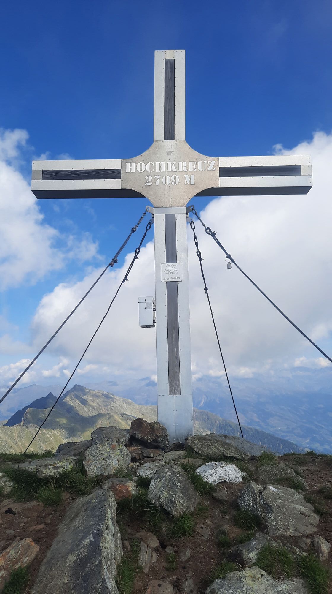
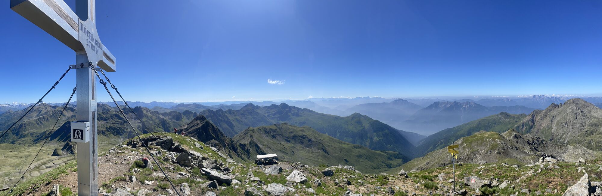
Classic route to one of the highest peaks of the Kreuzeck group. Especially the magnificent landscape in the Staller Wölla compensates for the somewhat strenuous ascent from the power plant to the tree...
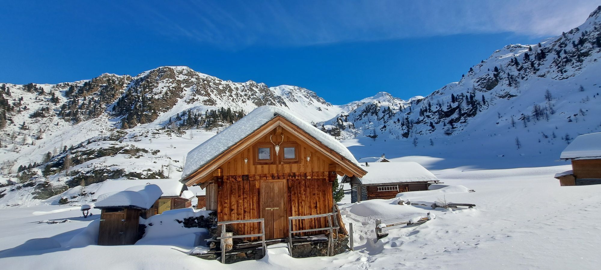
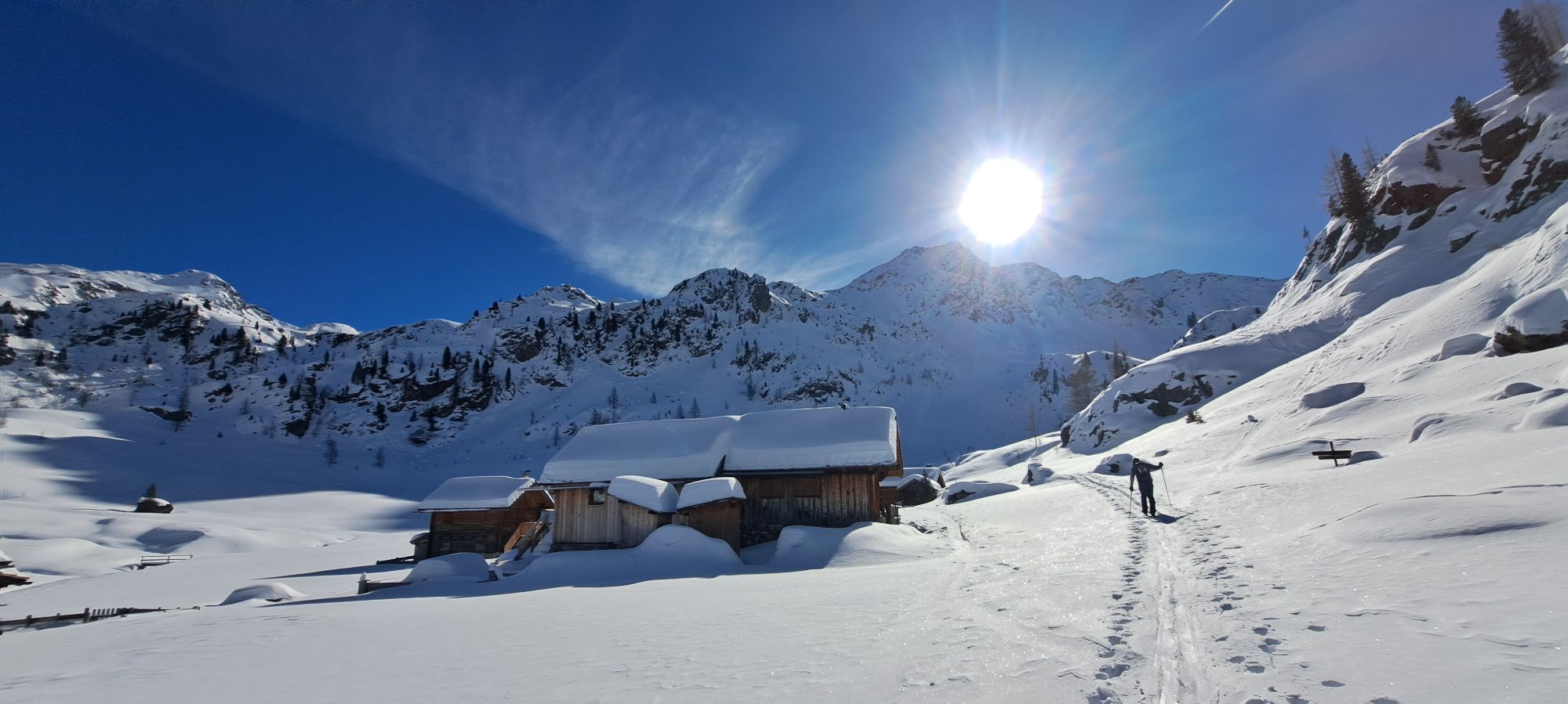
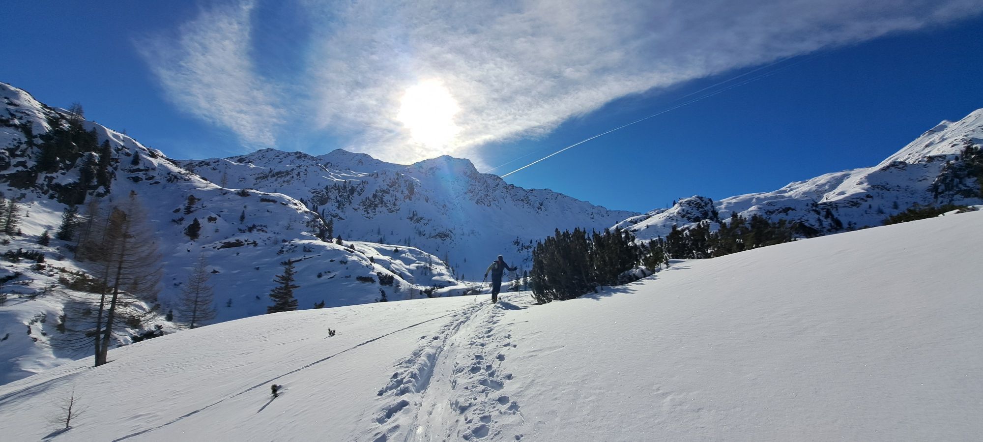
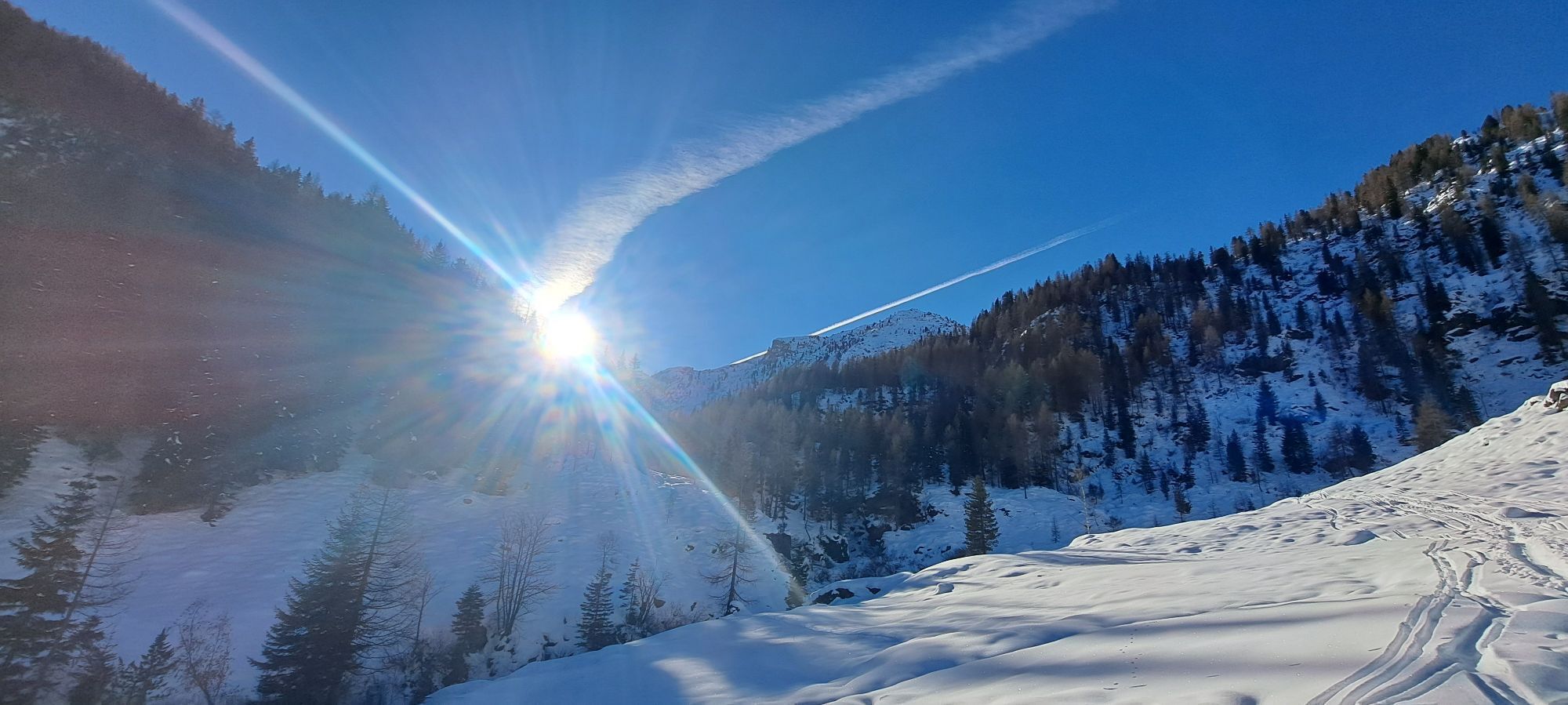
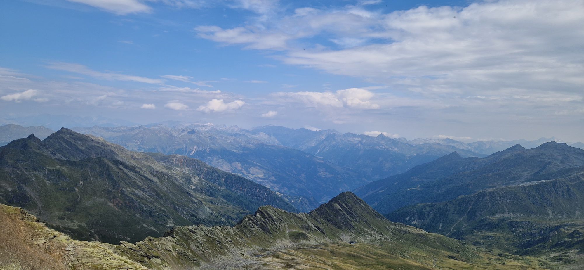
Classic route to one of the highest peaks of the Kreuzeck group. Especially the magnificent landscape in the Staller Wölla compensates for the somewhat strenuous ascent from the power plant to the tree line. Initially, the route is partly steep on an alpine path up to the Staller Wölla, a beautiful mountain pasture. Then continues into a magnificent high valley (Staller Weißen) and finally over the steep summit flank to the highest point.
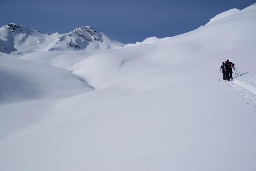
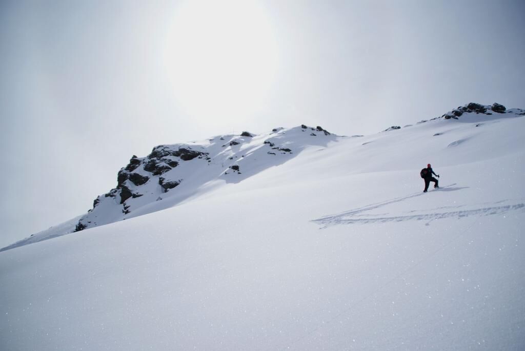
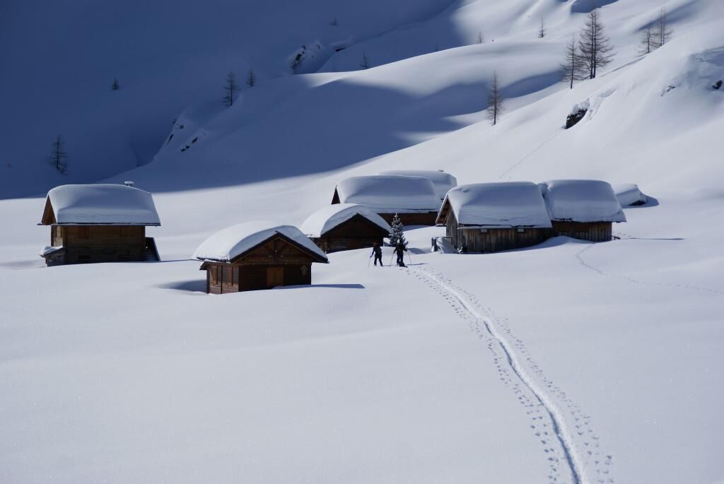
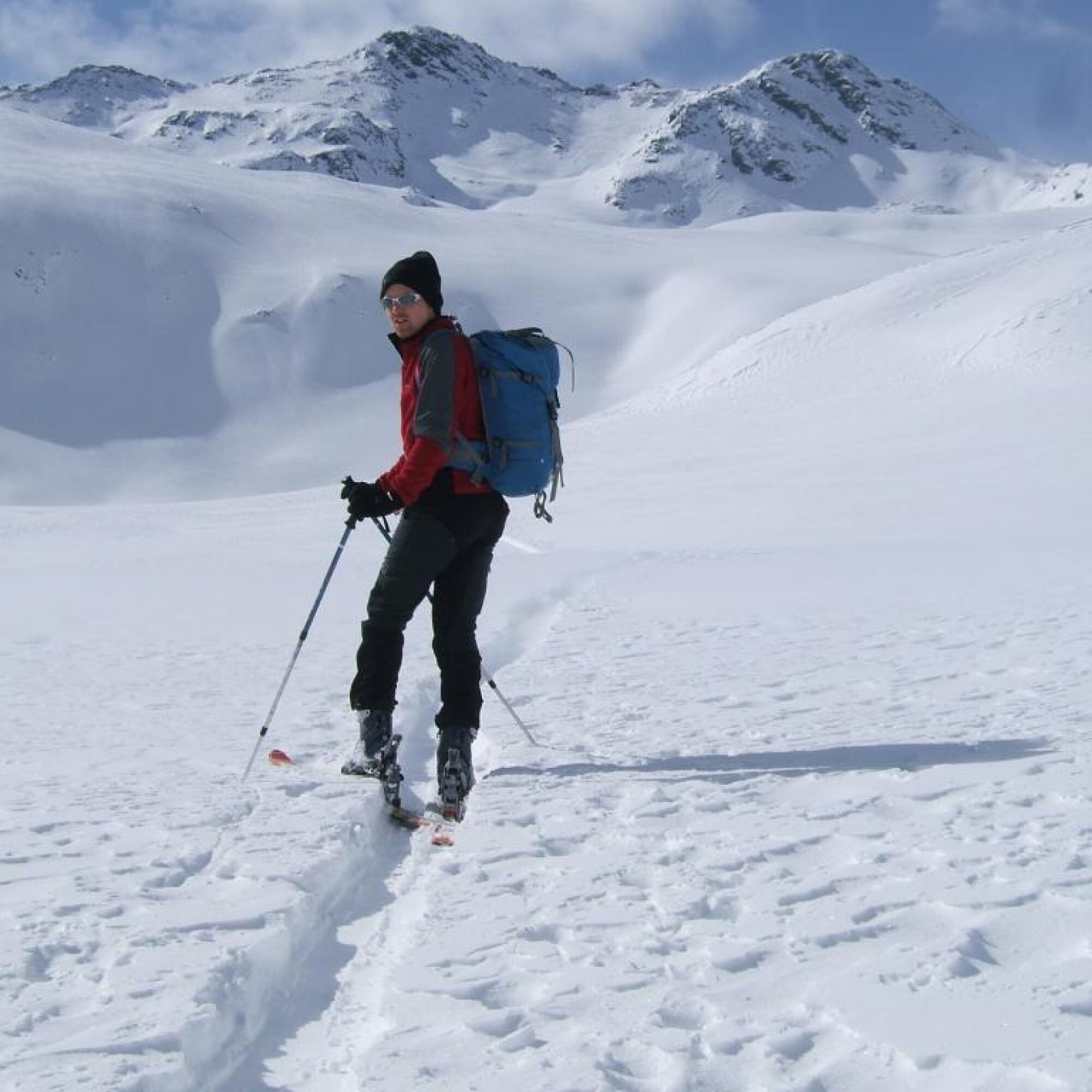
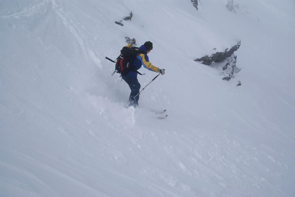
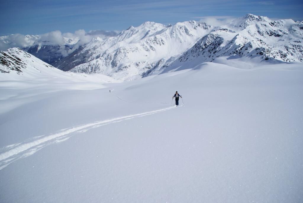

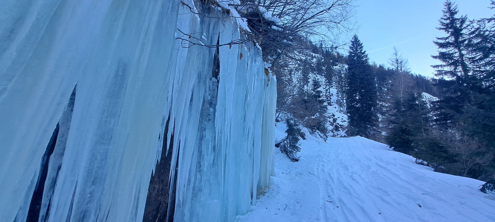
From the power plant, the route leads up the road to the reservoir and from there you follow the summer path, partly through steep terrain, up to the Upper Gößnitzer Huts (1684m). After a short crossing to the south, you reach another steep section, which the alpine path overcomes in several switchbacks up to the Staller Wölla (2033m). Now you ascend southward, keeping to the left (eastern) valley edge, over a short steeper section into the so-called Staller Weißen. Over gently undulating terrain and another short steep section, you reach the summit flank of the Hochkreuz. Depending on snow conditions, you can either ski up this to the ridge (between Hochkreuz and Schwarzwandkogel) or directly to the summit.
Descent: in the area of the ascent track.
Da
Da
Standard skitouring and avalanche transceiver equipment
The last meters up to the summit are steep. In crust conditions, crampons are absolutely necessary here. After heavy snowfall, watch out for wind slabs.
On the B 106 just east of the village Stall in the Mölltal, where a small road branches off to the south at the bridge over the Möll. Depending on snow conditions, you can reach either the power plant (1225m) or the reservoir (~1550m) via this asphalt mountain road.
Parking options either at the power plant or just below the small reservoir
Respect your limits! 5 rules for responsible ski touring:
Where available, stay on marked routes; be sure to observe information boards as well as protected, conservation, and restricted areas. Consideration for wildlife: avoid feeding areas and immediately and calmly withdraw when spotting any wild animals. Avoid young tree plantations (under three meters); ski edges can cause significant damage to trees. Do not leave any waste behind. Avoid noise.Important for ski tours: prohibition of travel through young forest and reforestation areas
During the descent, the experienced skier can shorten the steep section from the Staller Wölla via a steep gully, depending on snow conditions.
Strong skitourers can also include the Weißenkopf.
Priljubljeni izleti v okolici
-
5.0
Ederplan round from the parking lot Stronach
srednjaPohodništvo 7.19 km -
4.8
Pirknerklamm (C)
srednjaVia ferrata 2 km -
4.8
Drau Cycle Path R1
svetlobaKolesarjenje 75.9 km -
4.0
Raggaschlucht
srednjaPohodništvo 3.44 km -
4.2
Emberger Alm - Hochtristen
srednjaPohodništvo 9.50 km -
4.7
Teuchlspitz
srednjaPohodništvo 10.8 km -
5.0
Emberger Alm 3er: Nassfeld, H.Gränten, Knoten
srednjaPohodništvo 11.6 km -
4.8
Obervellach - Polinikhütte - Polinik Gipfel
srednjaPohodništvo 14.7 km -
5.0
Water Experience Trail Greifenburg
srednjaPohodništvo 7.42 km -
4.7
Tolzer - Gaugen , Kärnten
težkoGorski pohodništvo 7.40 km
Pohodništvo in sledenje


Ne zamudite ponudb in navdiha za naslednje počitnice
Vaš e-poštni naslov je bil dodan na poštni seznam.





