


Kalte Wand above Jamnigalm
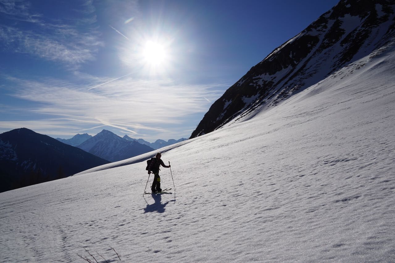
Beautiful north-facing route, especially recommended in spring under safe firn conditions. The favorable spring exposure prevents the snow from turning to crust quickly, reducing the risk of wet snow avalanches....
Beautiful north-facing route, especially recommended in spring under safe firn conditions. The favorable spring exposure prevents the snow from turning to crust quickly, reducing the risk of wet snow avalanches. Depending on current temperatures and snow conditions, an alternative slightly more east-facing tour destination is available during the route: the Vordere Astromscharte!
Note: the summit of Kalte Wand is not reached directly, but a col between Kalte Wand and Astromspitz.

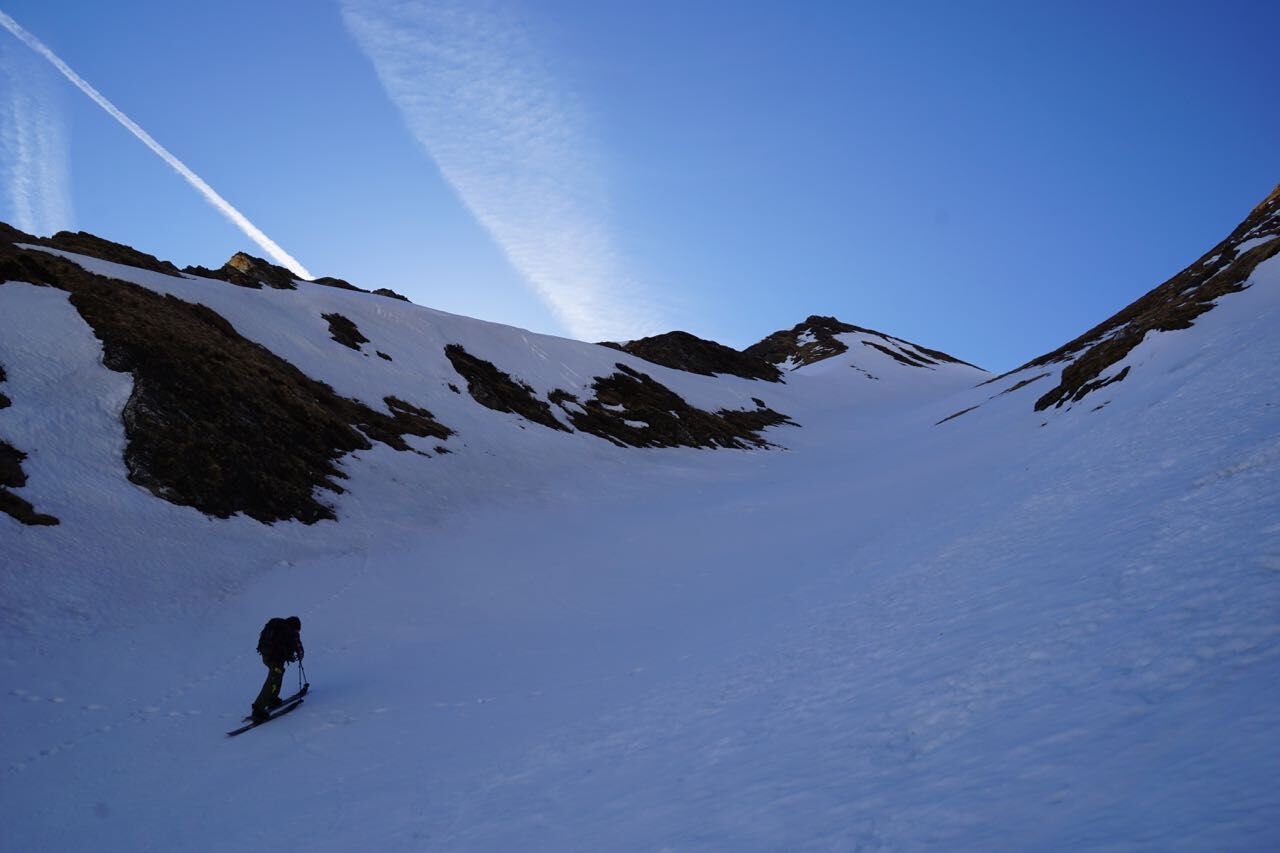
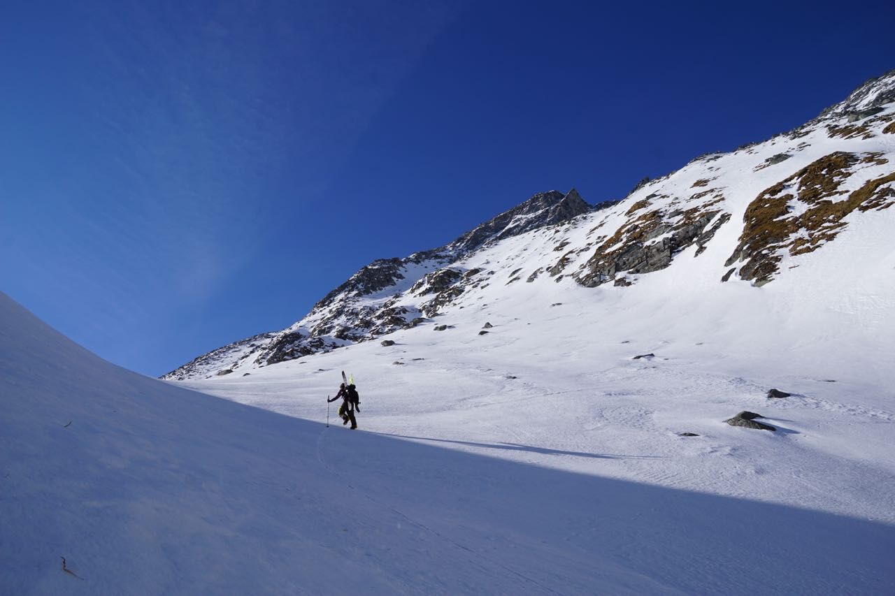
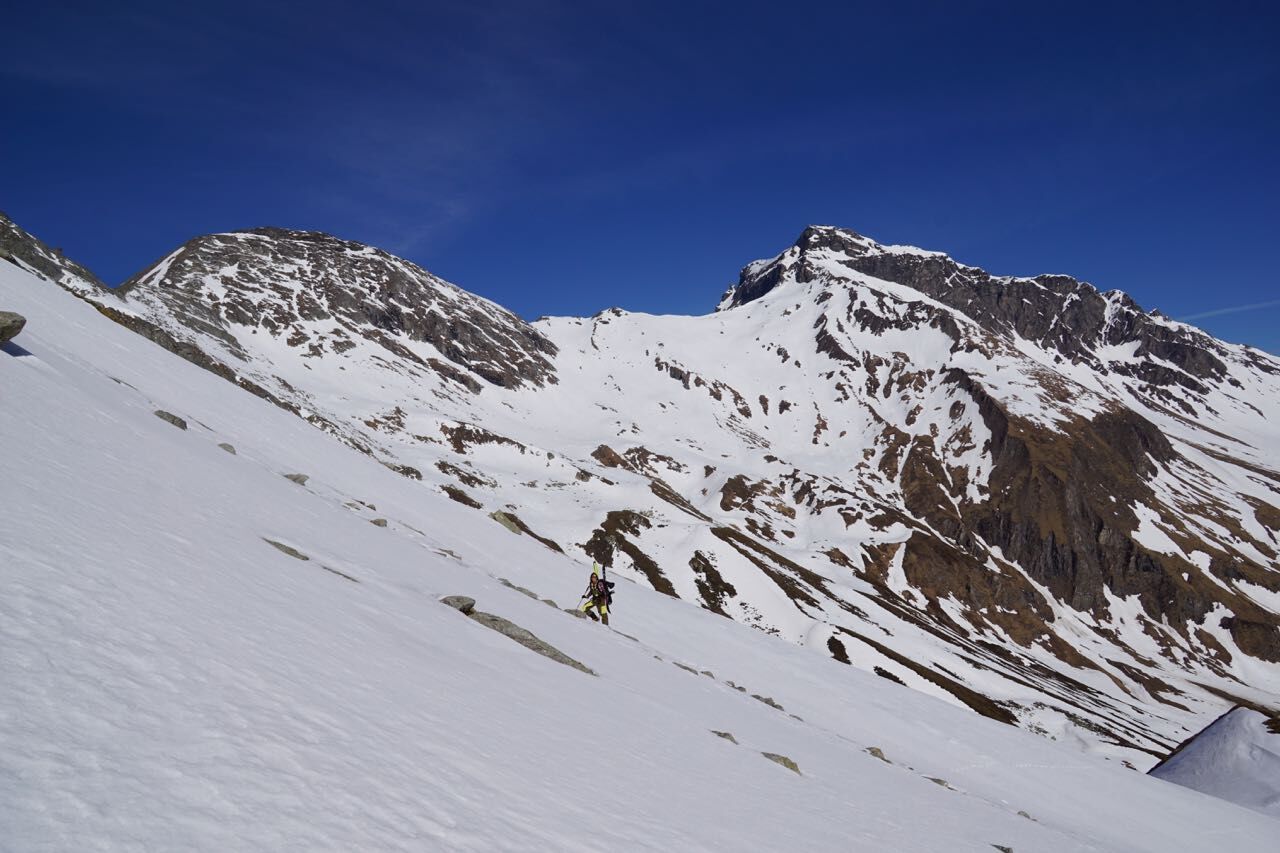
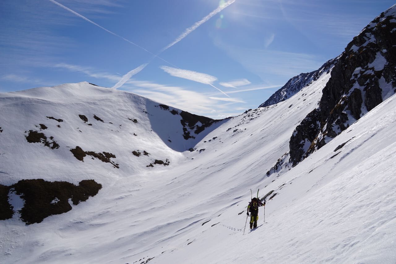
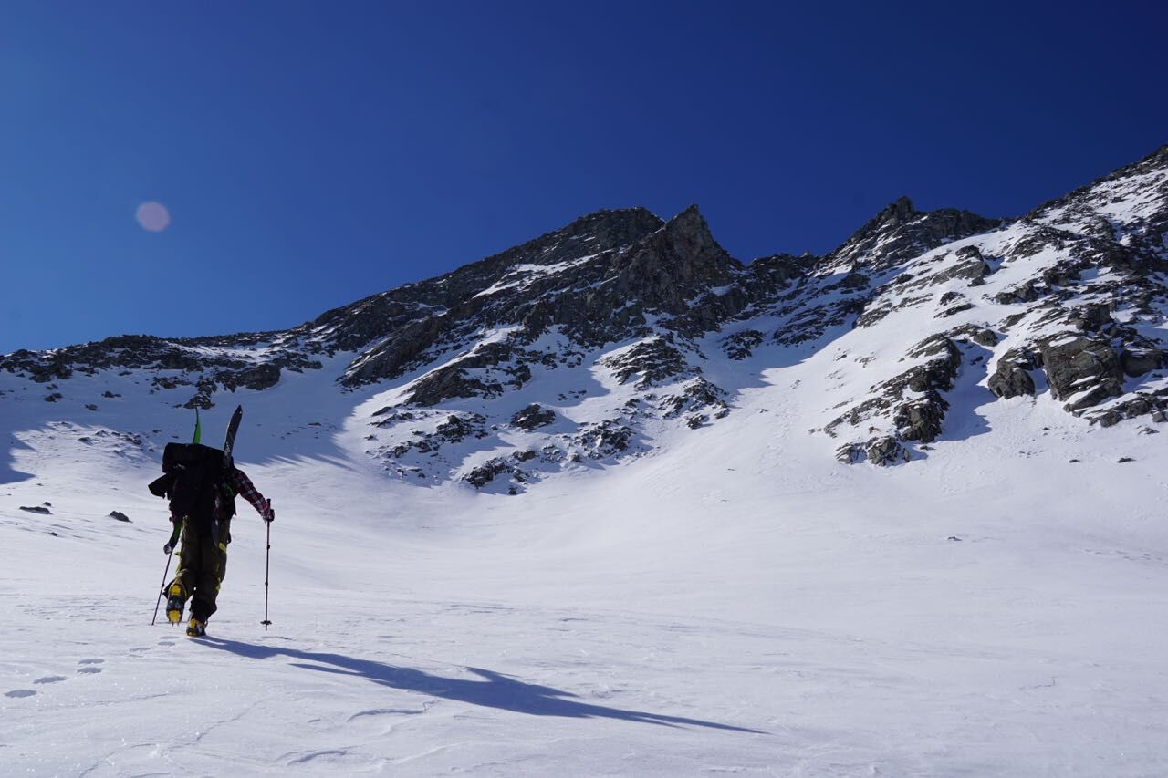
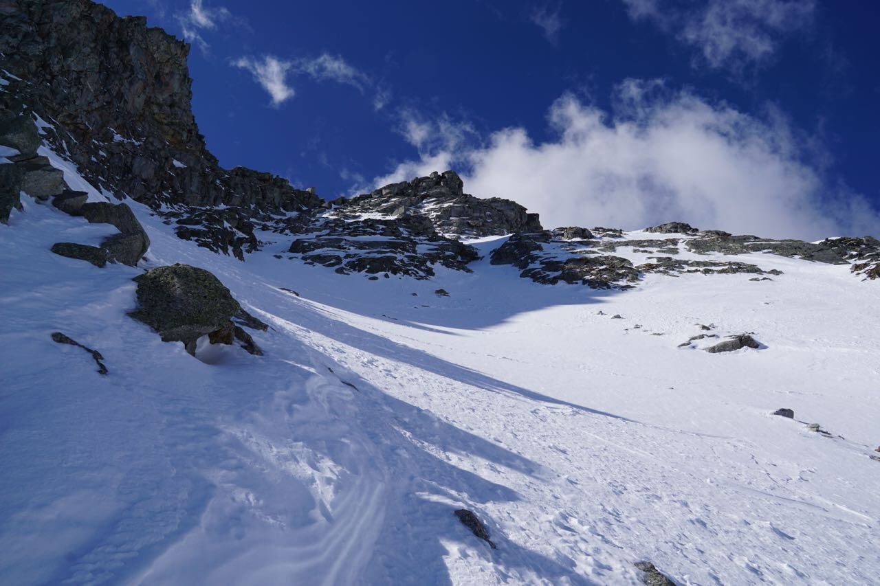
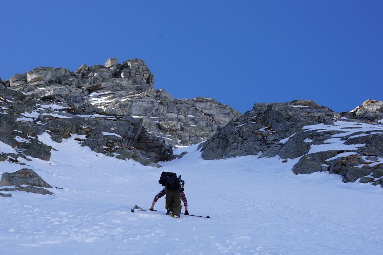
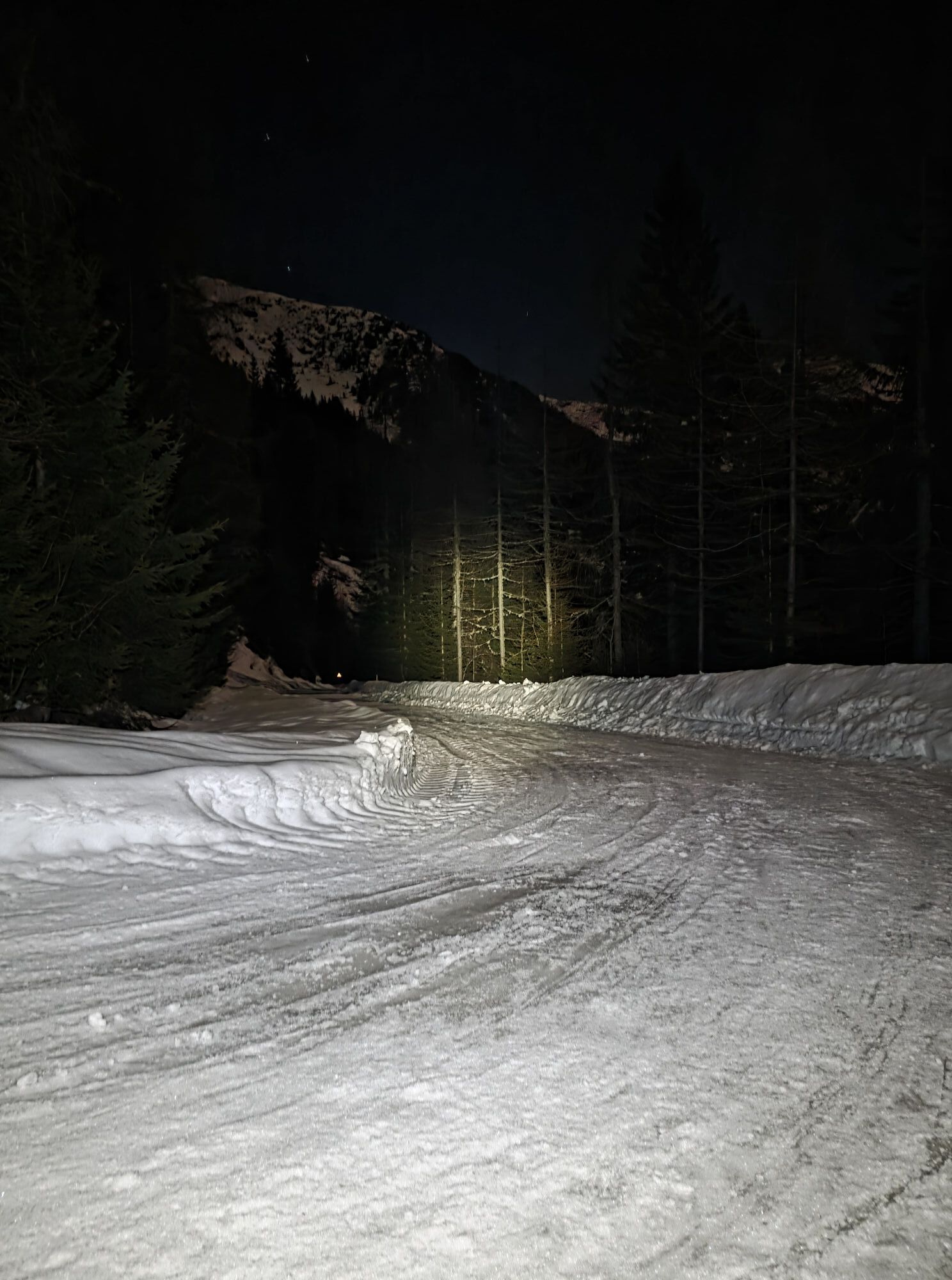
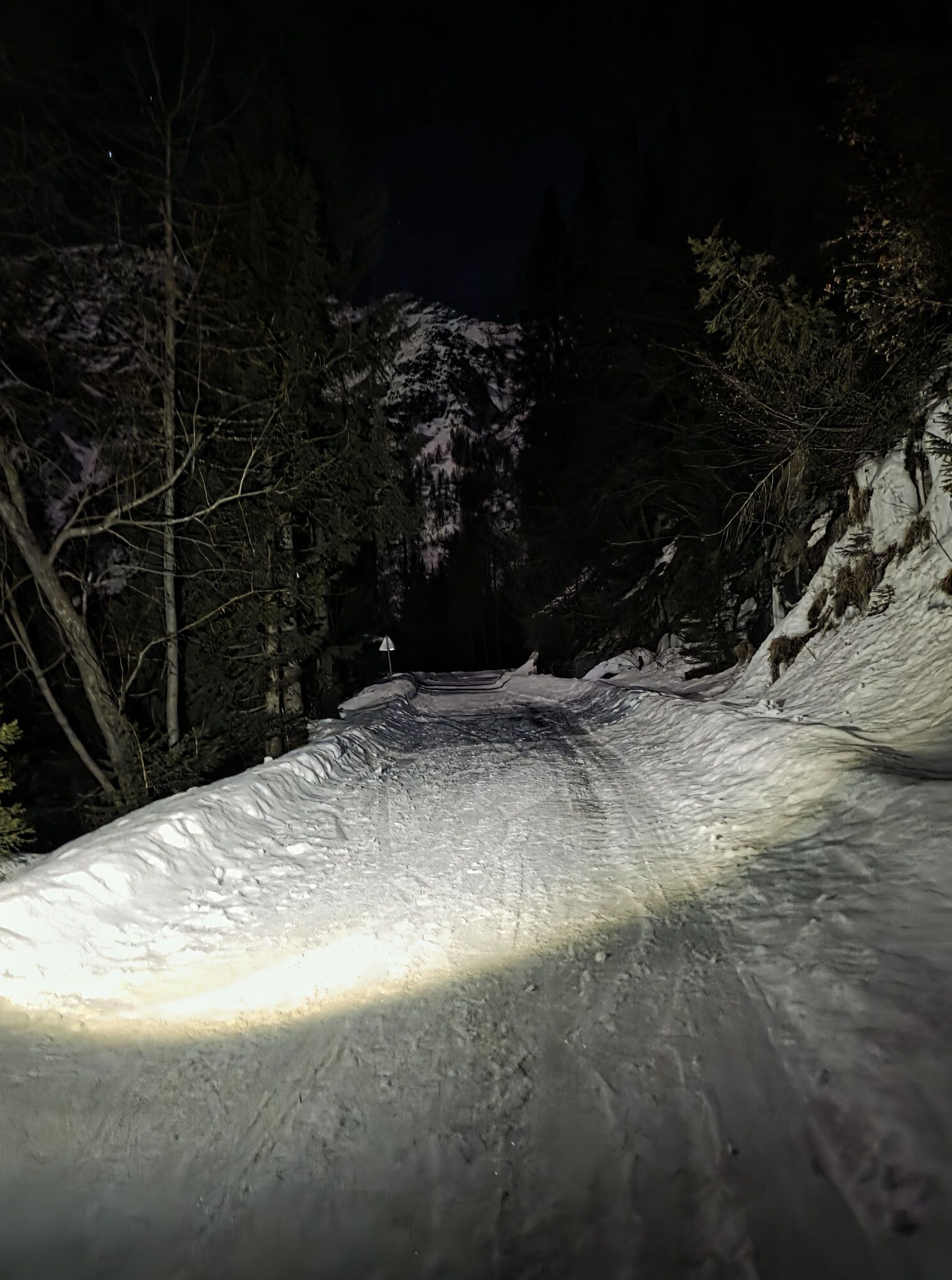
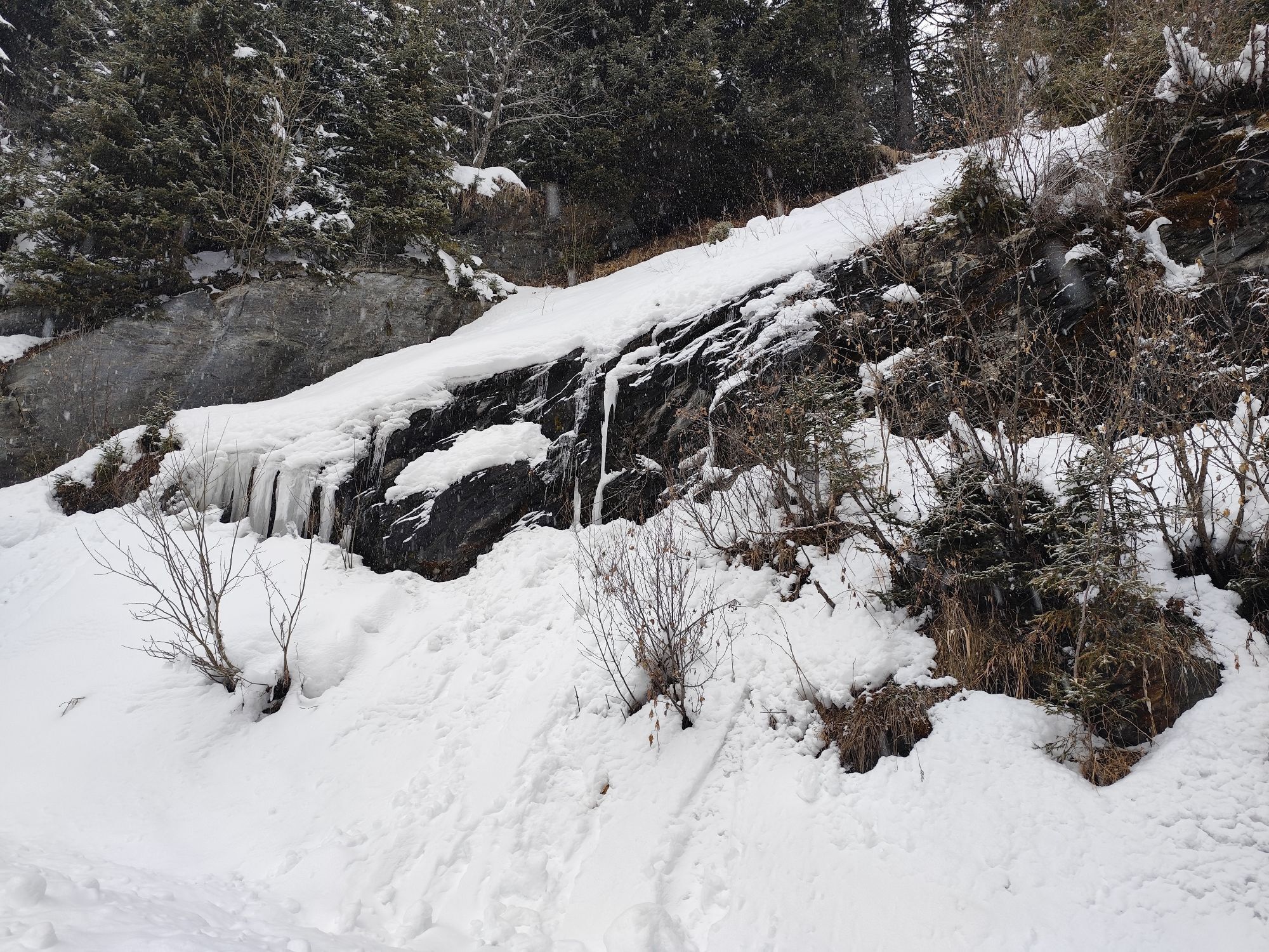
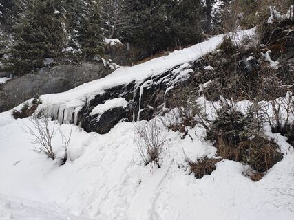
From the parking lot at Stockerhütte, cross the road to the upper parking lot just below Jamnighütte. A few meters before the parking lot, a bridge leads over the stream and further on to Jamnigalm (1748m). From there continue towards Feldseescharte, entering the flat cirque floor in the area of Krampenbach and heading southeast over the distinctive gully to the forelying Zedölnig. At the highest point of the gully, head right over the steep slope until you reach the flat terrain below Kalte Wand. From here the onward route becomes clear: follow the terrain leading to a steepening gully, go up this and just below the ridge turn right until you reach the col over a short boulder terrain.
Usual ski touring and avalanche transceiver equipment as well as crampons, ice axe, and crampons (!)
Due to its steepness, the tour requires absolutely secure avalanche conditions and a very skilled and experienced ski tourer.
Please observe the winter resting zone "Tauernmähder". No ski touring or skiing is allowed or desired here from December 1st to April 30th each year! Winter resting zone according to the Carinthian state law "Nationalpark Hohe Tauern", LGBl No. 74/1986 – see link for more info.
In Mölltal to Obervellach and from there north to Mallnitz – from Salzburg you can reach Mallnitz very conveniently by the Tauern shuttle train - Note: Tauern closure from 18.11.2024 to 13.07.2025, more information can be found here
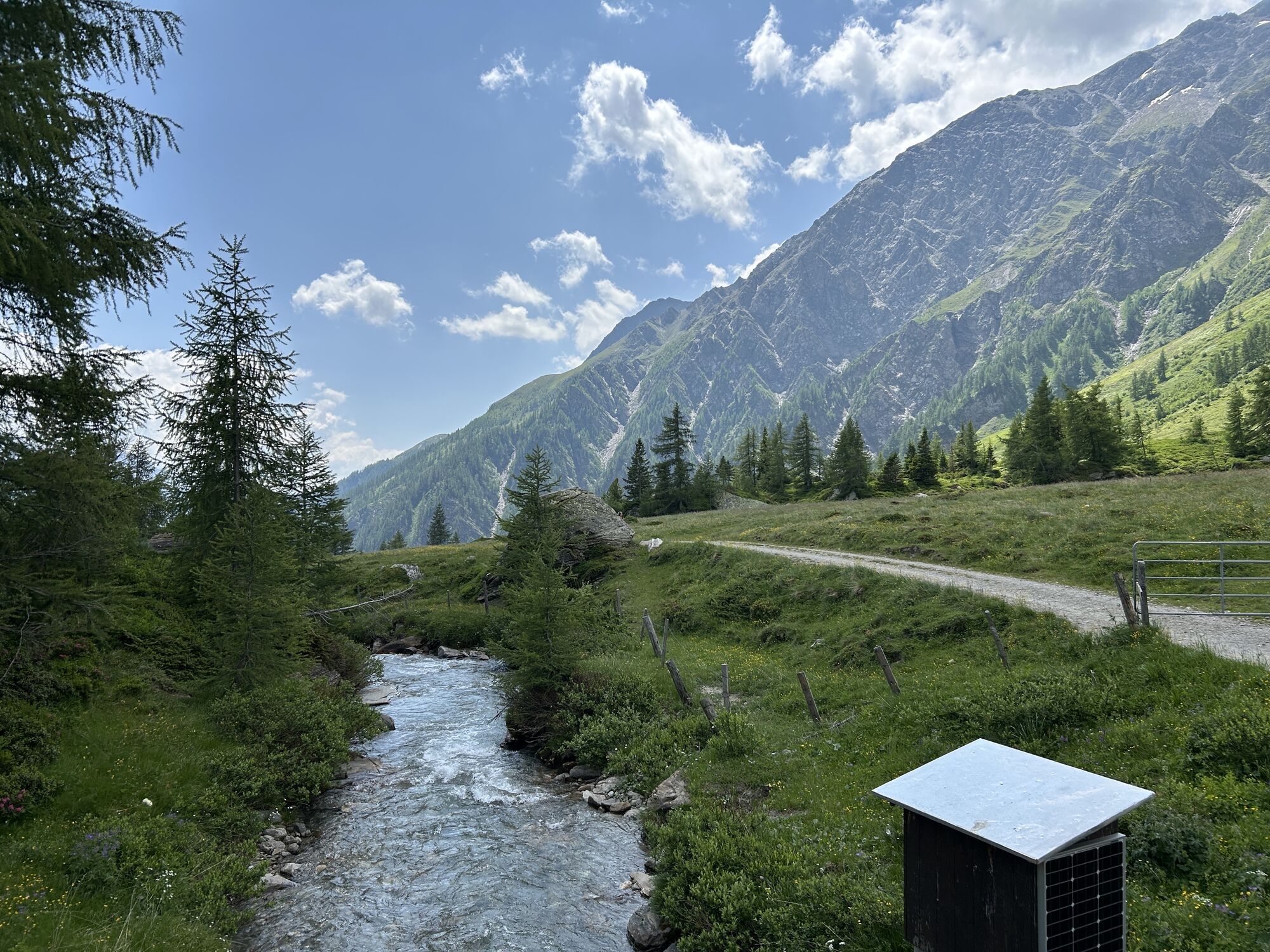
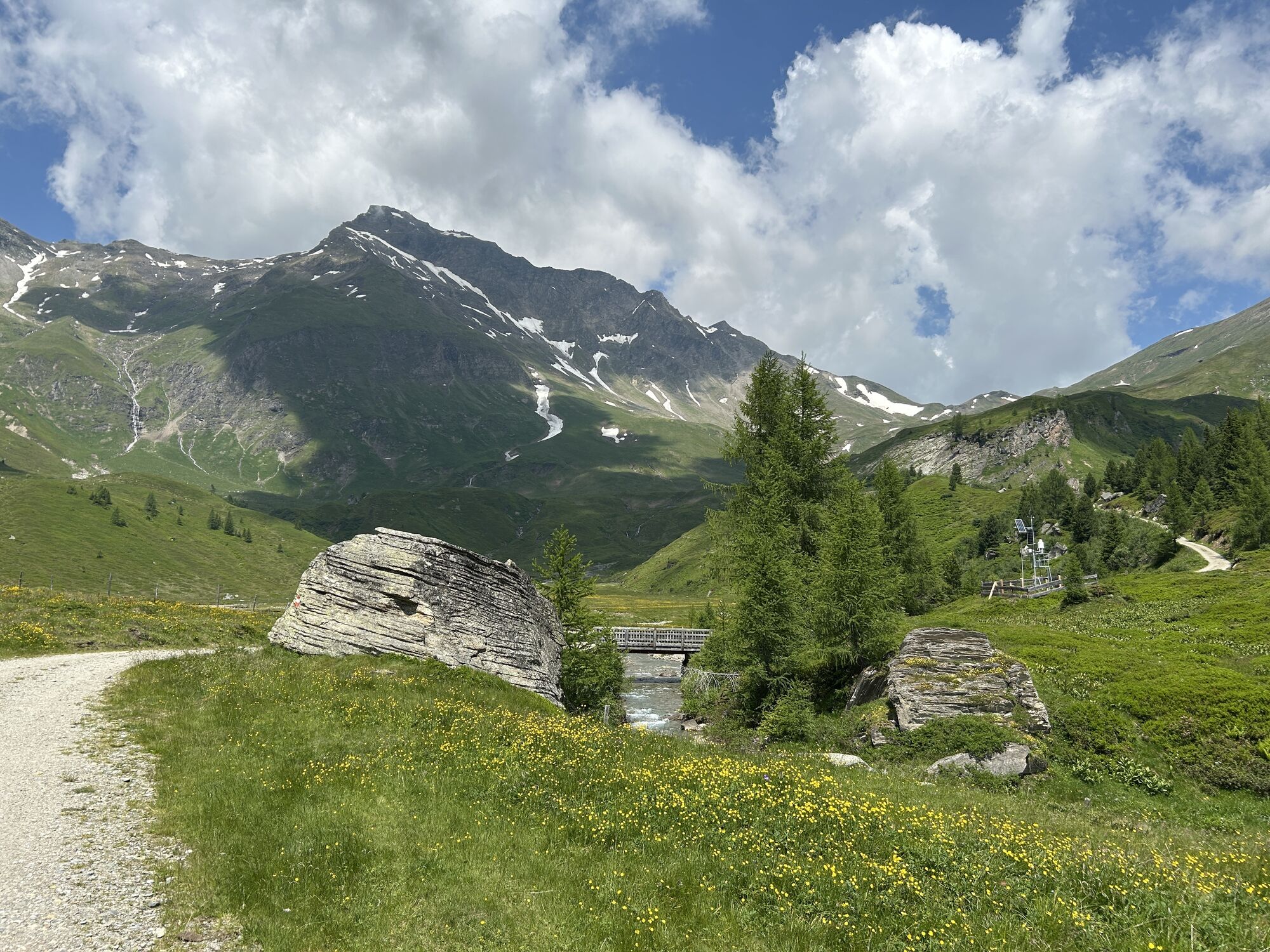
In the center of Mallnitz, turn west at Sport Wolliger into the Mallnitzer Tauerntal. Follow this for a few kilometers to Stockerhütte.
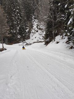
In spring, the road is open up to the summer parking lot below Jamnigalm. (Note: fee applies - EUR 4.00 to be paid at the barrier) In winter, the road to Jamnigalm is used as a toboggan run – it is possible, however, to take the toboggan taxi early in the morning (advance booking at Tel.: +43 664 /1301 323 Taxi Bernd Heller) to the summer parking lot.
Parking lots at Stockerhütte or below Jamnigalm
Respect your limits -
5 rules for responsible snowshoeing or ski touring:
Where available, stay on marked routes; observe signboards as well as protected, conservation, and restricted areas
Consider wildlife: avoid feeding places and quietly withdraw immediately upon sighting an animal
Avoid young tree plantations (under 3 meters), ski edges can cause serious damage to trees
Do not leave any waste behind
Avoid noise
As with all routes in Mallnitzer Tauerntal, the high-altitude starting point and its good accessibility by road still allow for ski touring pleasures late into spring.


Priljubljeni izleti v okolici
-
4.8
Wanderung zur Schwussner Hütte
svetlobaPohodništvo 8.07 km -
4.5
Mountain route from the Kötschachtal to the natural jewel Reedsee
srednjaPohodništvo 12.5 km -
4.8
Hüttenkogel - Graukogel von der Bergstation
srednjaGorski pohodništvo 4.68 km -
4.7
Hohe Sonnblick Up
težkoPohodništvo 9.14 km -
5.0
Silberpfennig, Salzburger Land/Österreich
srednjaPohodništvo 13.8 km -
4.5
Niedersachsenhaus
srednjaPohodništvo 4.84 km -
4.5
Arthur von Schmidhaus
srednjaPohodništvo 6.36 km -
3.9
Raggaschlucht
srednjaPohodništvo 3.44 km -
4.4
Groppenstein Gorge Obervellach
srednjaPohodništvo 2.99 km -
4.7
Bad Gastein-Böckstein-Sportgastein(Schlechtwettervariante)
Pohodništvo 17.2 km

Pohodništvo in sledenje


Ne zamudite ponudb in navdiha za naslednje počitnice
Vaš e-poštni naslov je bil dodan na poštni seznam.