


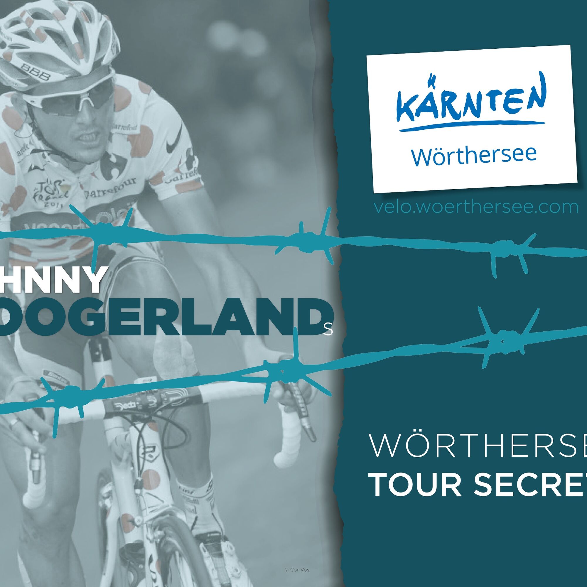
Johnny Hoogerland's Tour Secrets #1 | Wörthersee Xtrem
Stopnja težavnosti: 5
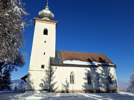
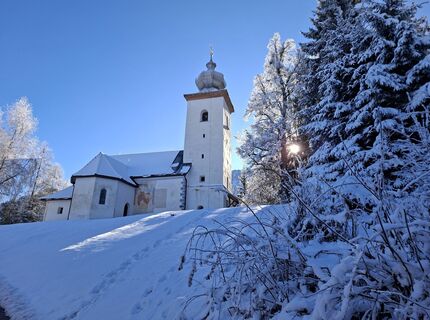
Fotografije naših uporabnikov
-
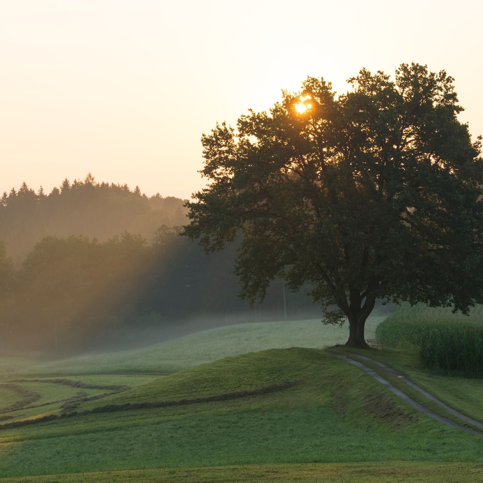
 © MangoleinUstvarjeno na 25.04.2026
 -
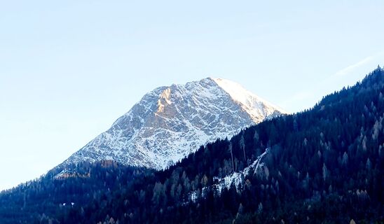
 © MangoleinUstvarjeno na 25.04.2026
 -
 © MangoleinUstvarjeno na 25.04.2026
 -
 © MangoleinUstvarjeno na 25.04.2026
 -
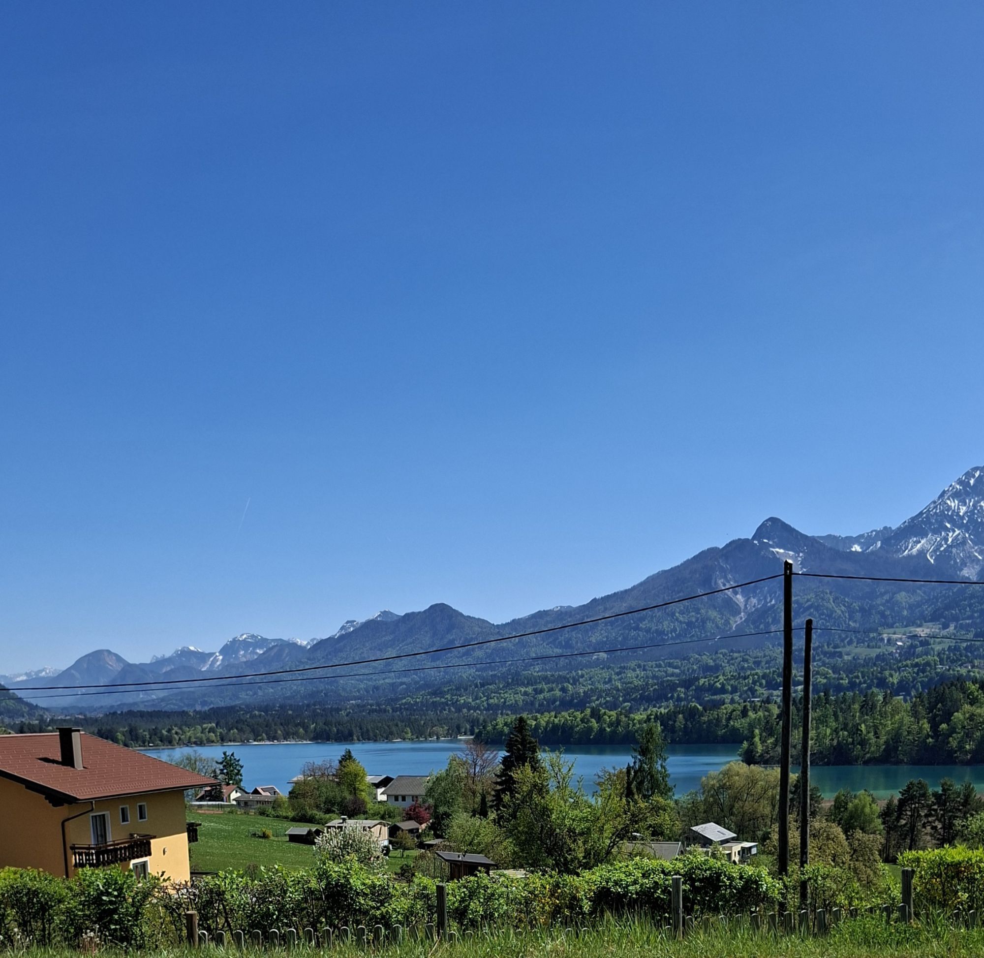
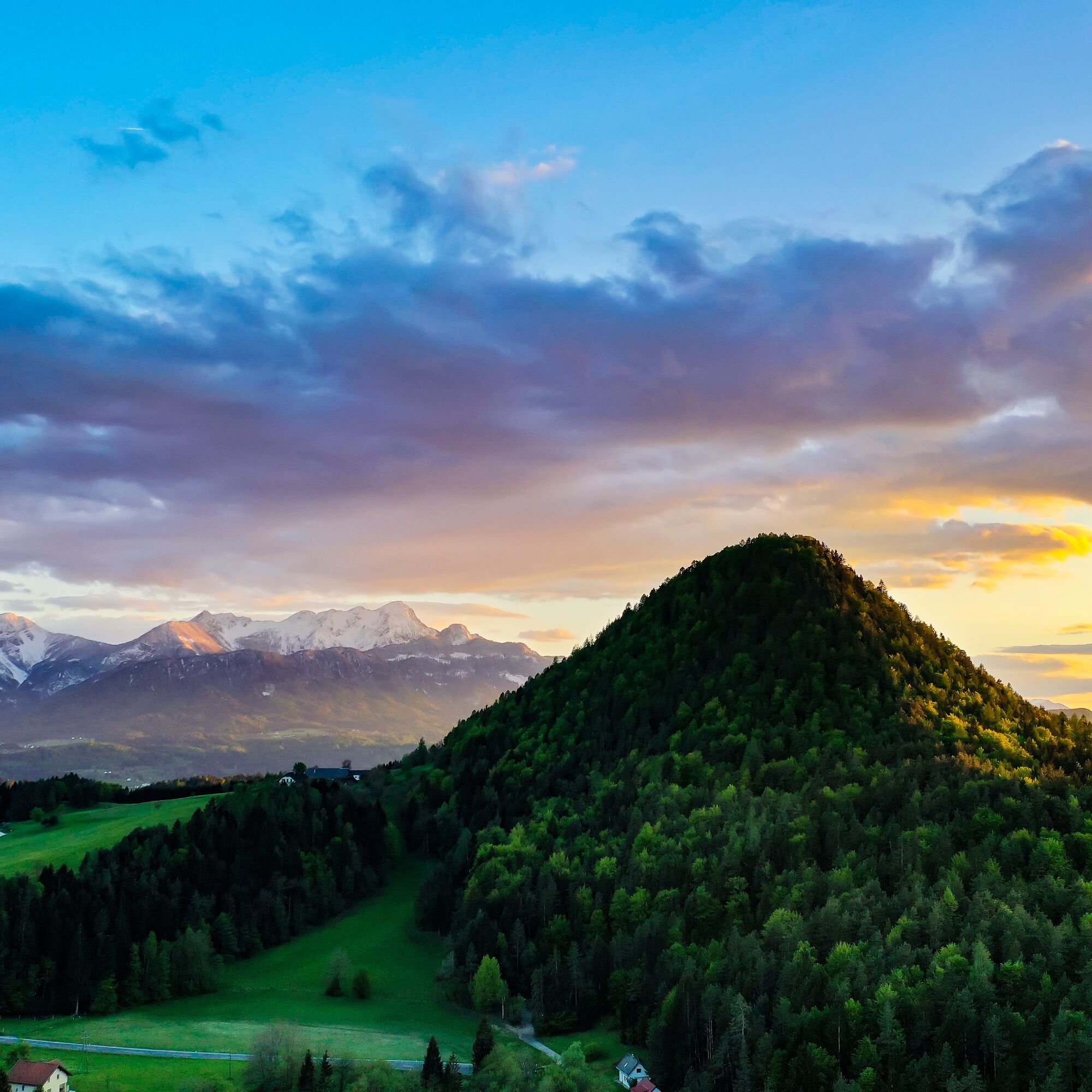
 © Karsten-aus-TirolUstvarjeno na 17.04.2026
 -
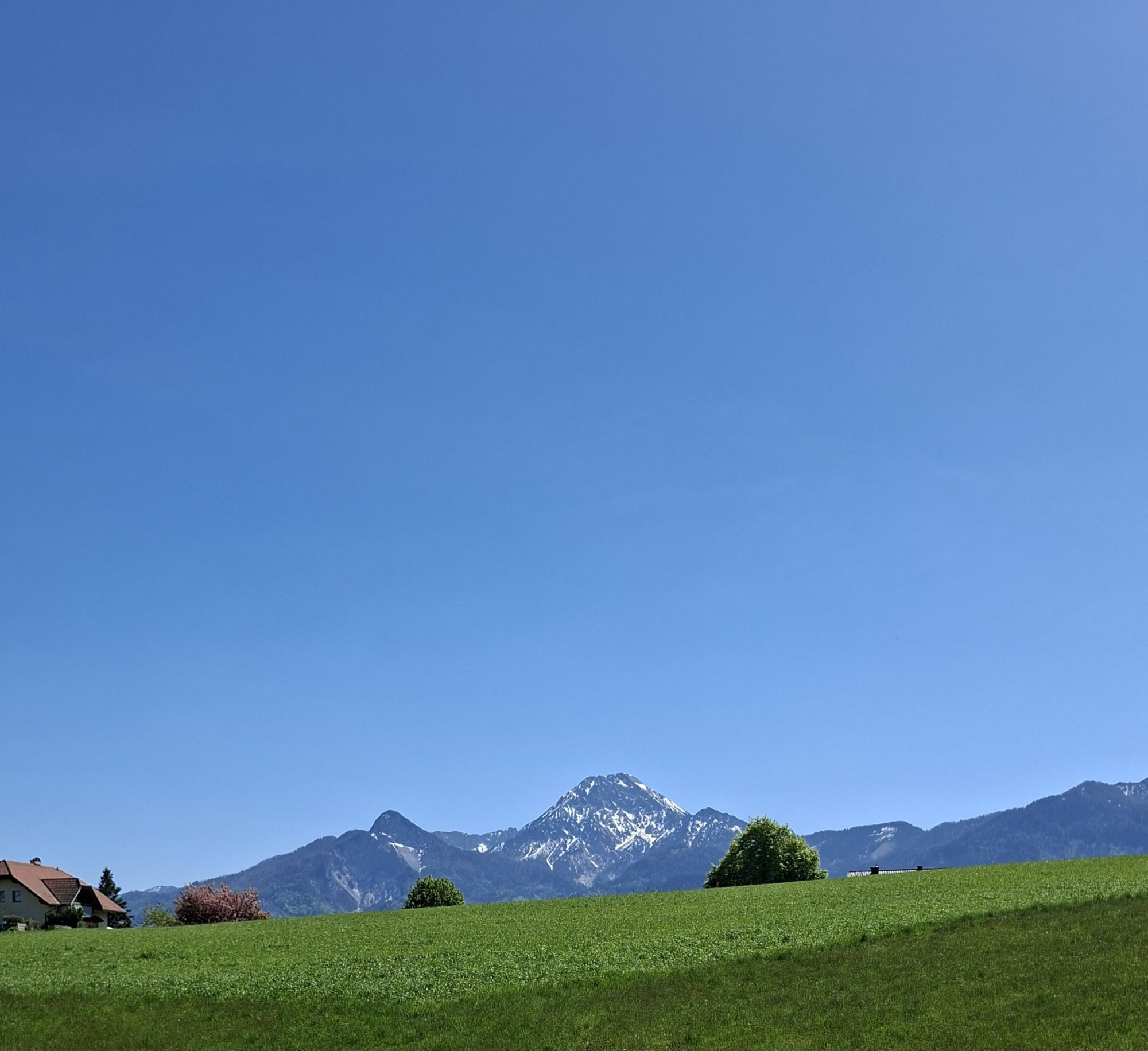
 © Claudia KanalzUstvarjeno na 12.03.2026
 -
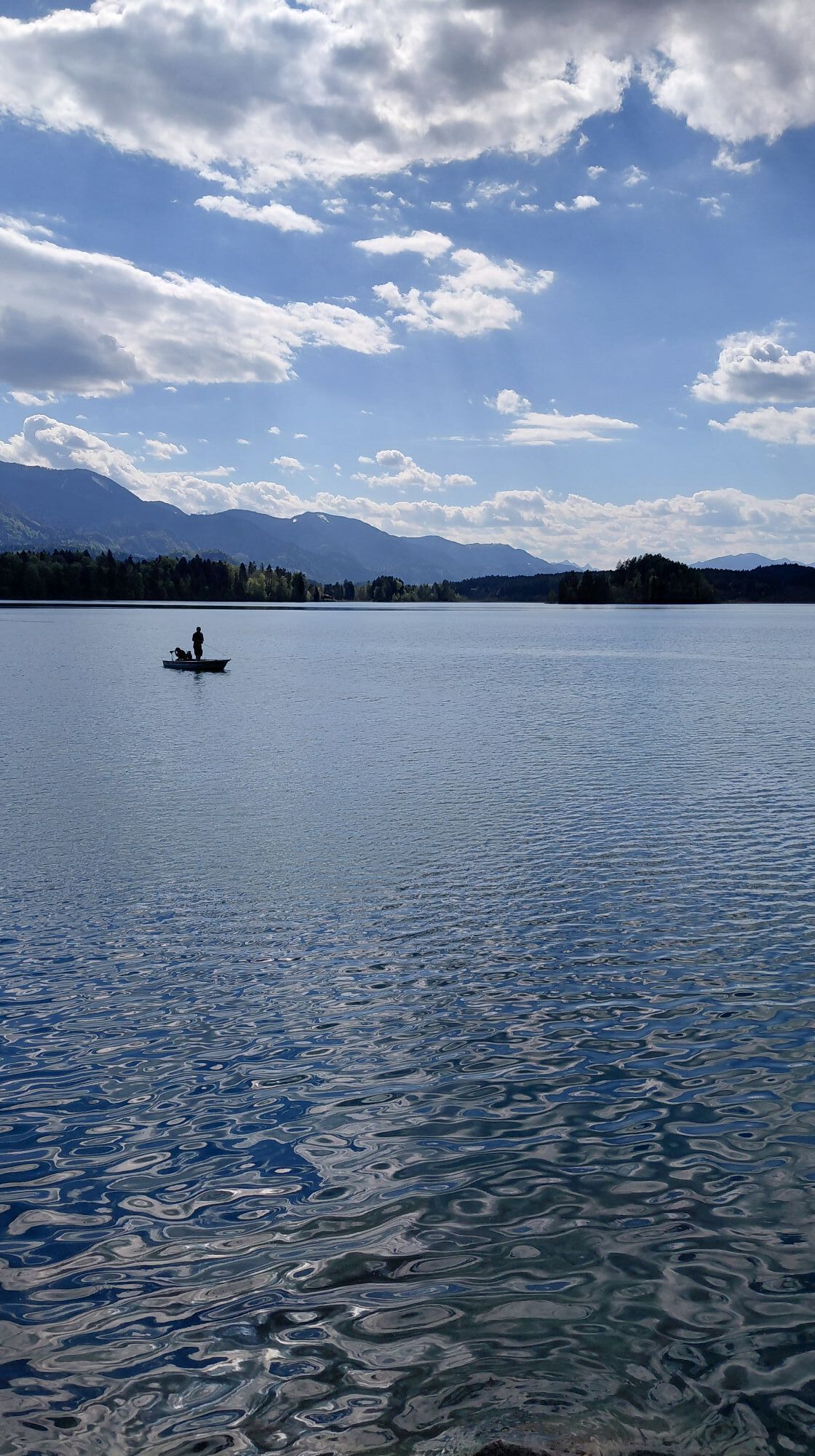
 © Claudia KanalzUstvarjeno na 12.03.2026
 -
 © Claudia KanalzUstvarjeno na 12.11.2025
 -
 © Claudia KanalzUstvarjeno na 12.11.2025
 -
 © Claudia KanalzUstvarjeno na 12.11.2025
 -
 © Gerrit GoossenUstvarjeno na 30.07.2025
 -
 © Michaela PluchUstvarjeno na 10.07.2025
 -
 © wenglUstvarjeno na 26.06.2025
 -
 © Wolfgang HörthUstvarjeno na 20.06.2025
 -

 © Alois-Gerhard MairitschUstvarjeno na 10.06.2025
 -
 © Thomas Michalek 1Ustvarjeno na 07.06.2025
 -
 © JoHuUstvarjeno na 04.05.2025
 -
 © Maria SakelscheggUstvarjeno na 26.04.2025
 -
 © Maria SakelscheggUstvarjeno na 26.04.2025
 -
 © Maria SakelscheggUstvarjeno na 26.04.2025
 -
 © Zuzana UlicnaUstvarjeno na 12.04.2025
 -
 © Zuzana UlicnaUstvarjeno na 12.04.2025
 -

 © Barbara DolivierUstvarjeno na 18.06.2025
 -
 © Klaus RothenwänderUstvarjeno na 20.06.2023
 -
 © Pattpong SurawongUstvarjeno na 07.10.2022
 -
 © Freund der BergeUstvarjeno na 26.08.2022
 -
 © Freund der BergeUstvarjeno na 09.06.2022
 -
 © Freund der BergeUstvarjeno na 09.06.2022
 -
 © Freund der BergeUstvarjeno na 09.06.2022
 -
 © Freund der BergeUstvarjeno na 09.06.2022
 -
 © Freund der BergeUstvarjeno na 09.06.2022
 -
 © LpetraUstvarjeno na 01.05.2026
 -
 © Maria MagnesUstvarjeno na 25.04.2026
 -
 © Don Alessandro Sohn der BergeUstvarjeno na 12.04.2026
 -

 © Gerhild ZauchnerUstvarjeno na 20.03.2026
 -
 © Gerhild ZauchnerUstvarjeno na 20.03.2026
 -
 © xebtlUstvarjeno na 07.03.2026
 -

 © Florian DürneggerUstvarjeno na 04.01.2026
 -
 © Martin LexaUstvarjeno na 03.01.2026
 -
 © Martin LexaUstvarjeno na 03.01.2026
 -
 © Martin LexaUstvarjeno na 03.01.2026
 -
 © Claudia KanalzUstvarjeno na 02.01.2026
 -
 © Stefan SchuhmannUstvarjeno na 01.01.2026
 -
 © Stefan SchuhmannUstvarjeno na 01.01.2026
 -
 © Sommeregger HansUstvarjeno na 29.12.2025
 -
 © Sommeregger HansUstvarjeno na 29.12.2025
 -
 © Claudia KanalzUstvarjeno na 09.12.2025
 -
 © Claudia KanalzUstvarjeno na 09.12.2025


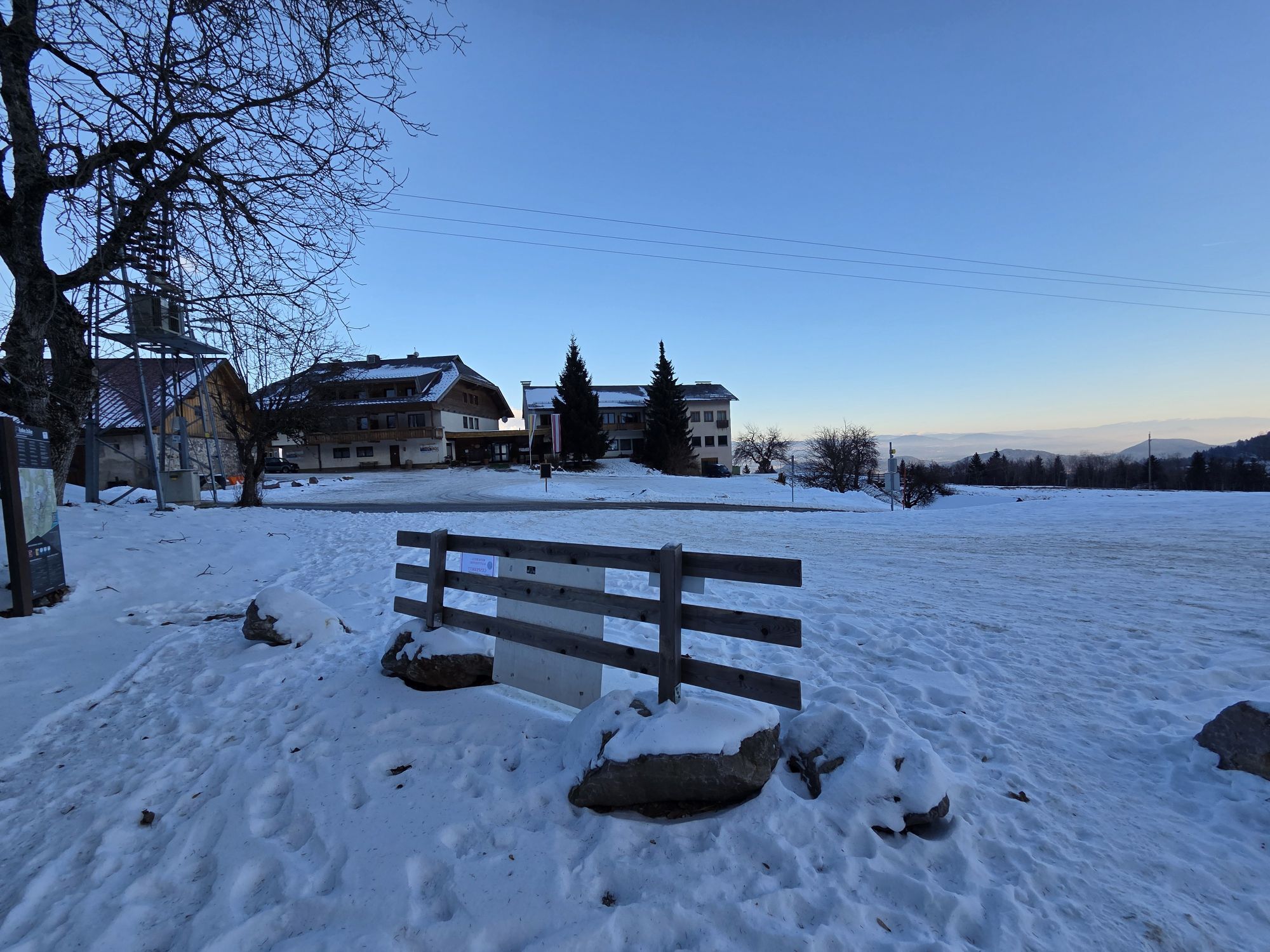
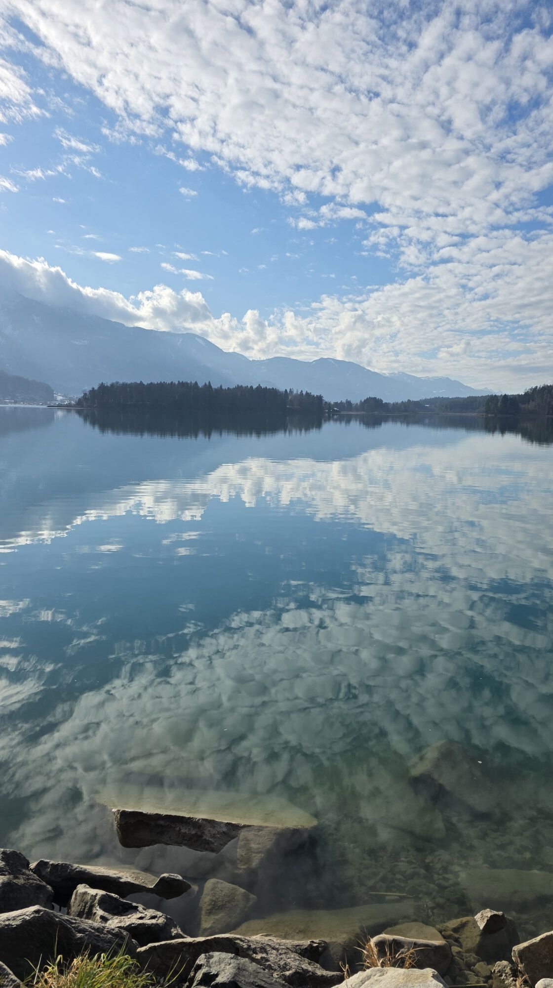
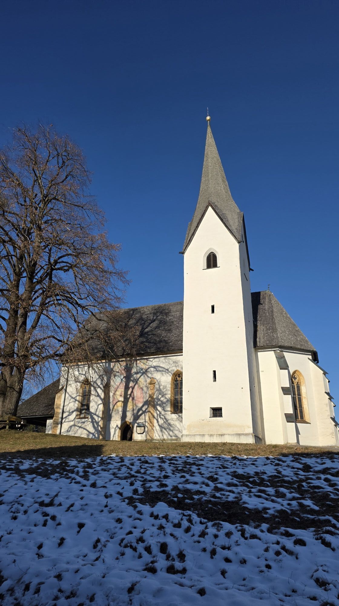
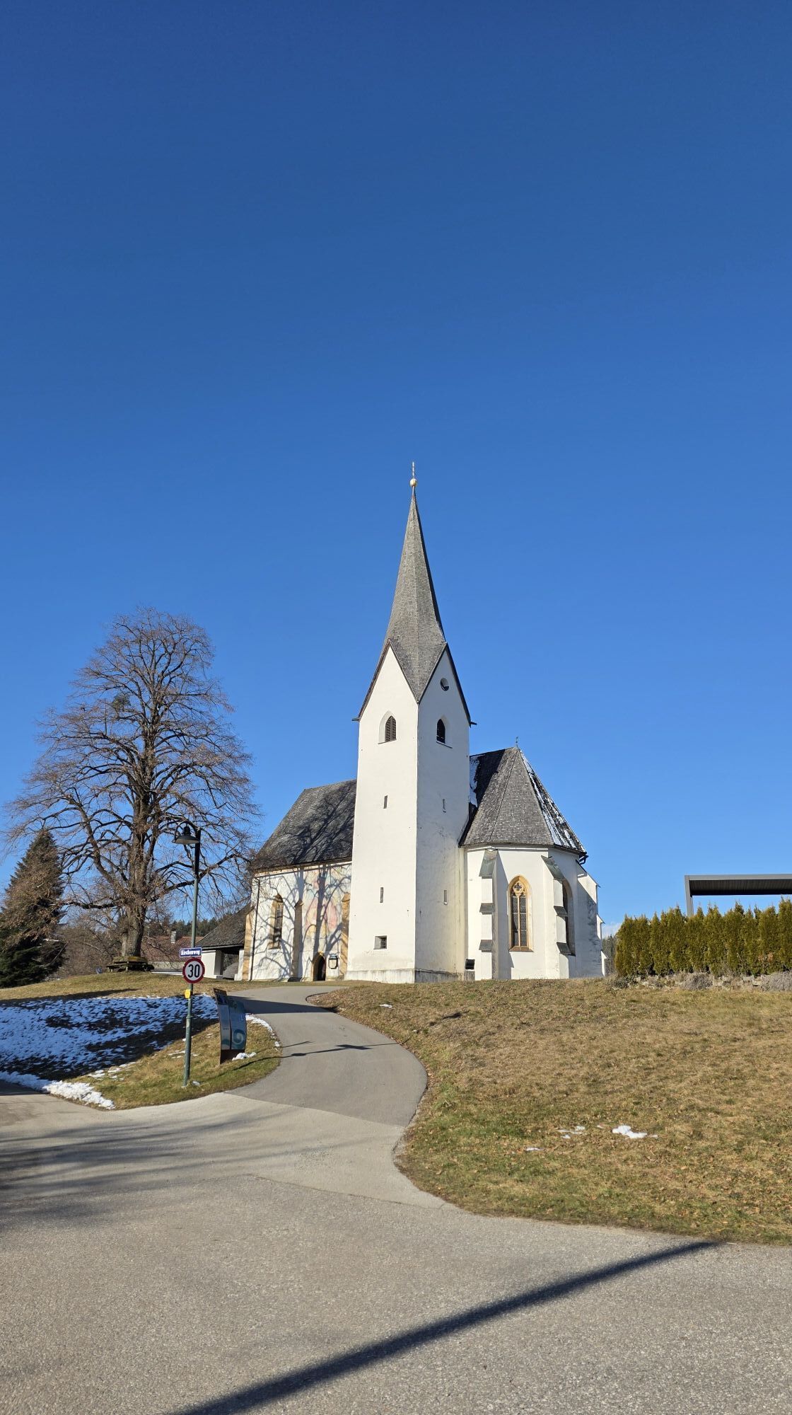


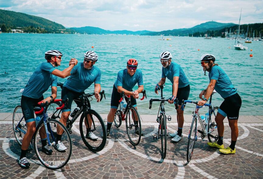
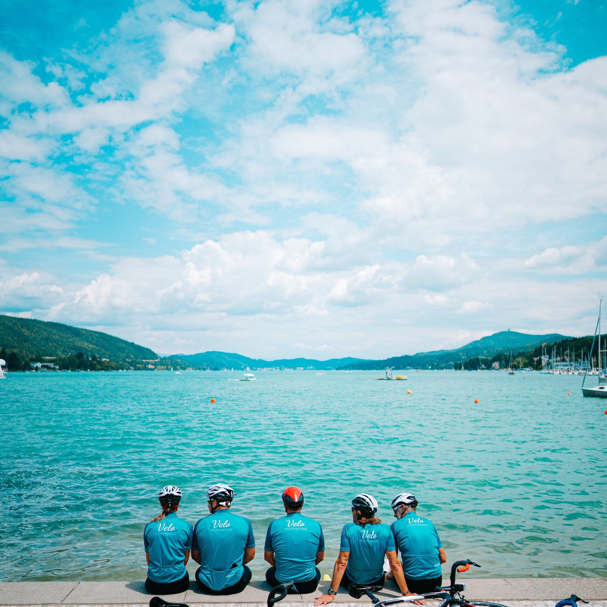
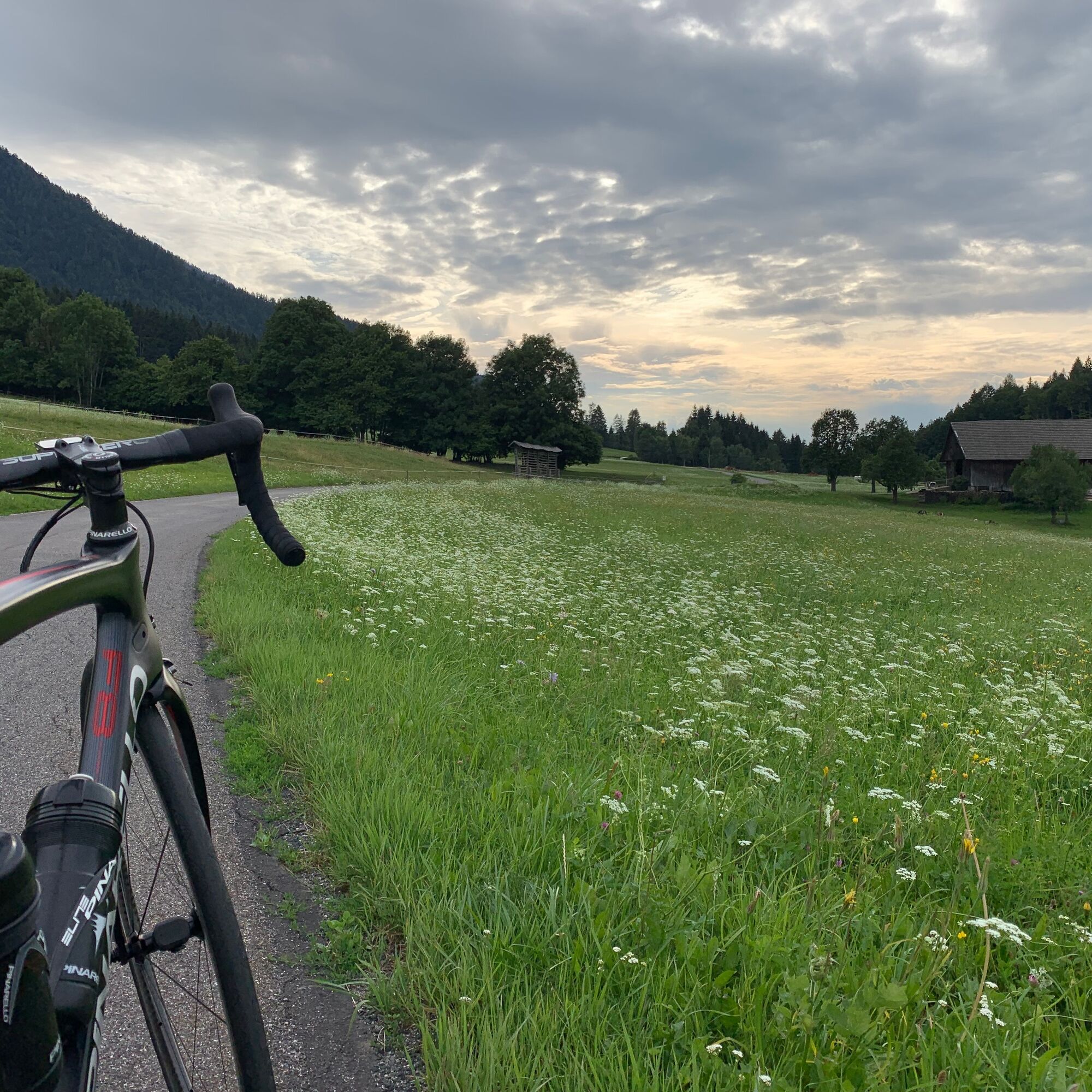
The Tour Secret #1 | Wörthersee Xtrem was an experiment by Johnny to cover as many altitude meters as possible around Lake Wörth. The result is this challenging route. Besides the numerous climbs, there...
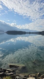
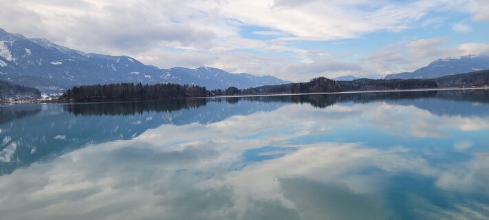
The Tour Secret #1 | Wörthersee Xtrem was an experiment by Johnny to cover as many altitude meters as possible around Lake Wörth. The result is this challenging route. Besides the numerous climbs, there are of course plenty of quiet and lightly trafficked roads, as well as wonderful views of Lake Wörth and Lake Faak. The approximately 160 km through the hinterland are perfect for your personal challenge at Lake Wörth.
Johnny Hoogerland
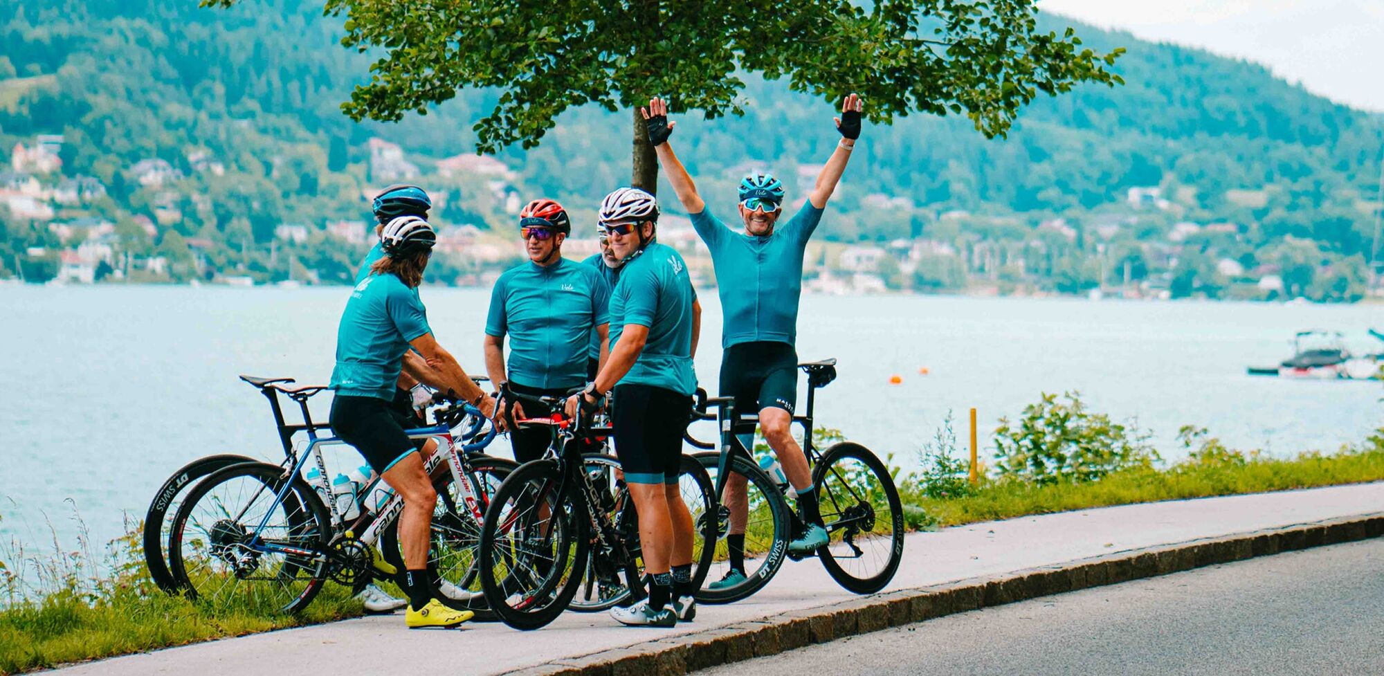
The Dutch national road race champion and multiple Grand Tour conqueror has been running the Pension Hoogerland in Velden with his family since 2018. Johnny chose his adopted home not only for the beauty of the area but above all because of the perfect cycling conditions.
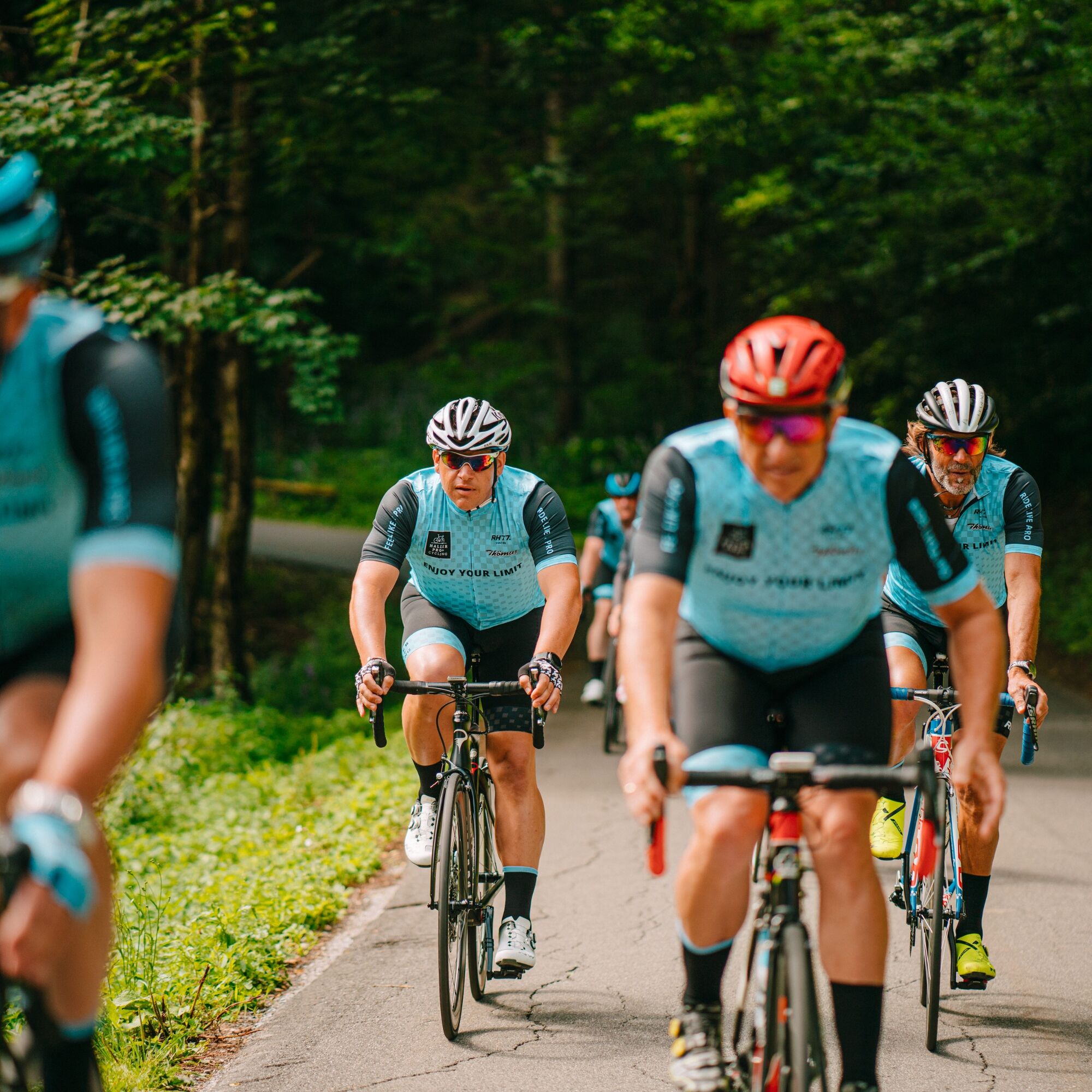
Known for his terrible crash into barbed wire at the 2011 Tour de France and the emotional moments when taking the polka dot jersey of the tour's mountain leader, he knows all facets of cycling very well. Therefore, friends and guests constantly join his rides to soak up a bit of the big cycling stage atmosphere. Johnny now knows all roads in Carinthia, and of course also adjacent Slovenia and Italy, like the back of his hand.
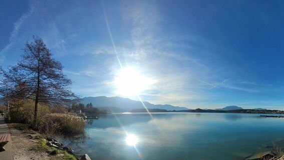
After starting in Velden, there is little time to warm up before it gets intense over Techelsberg along the Ossiacher Tauern to Köstenberg. Over Damtschach and Wernberg, there is enough time to catch your breath before you join the 1987 Cycling World Championship route near St. Niklas. Over Großsattel and Kleinsattel and the legendary Fuchsbichl, you finally reach Drobollach at Lake Faak.
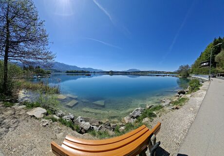
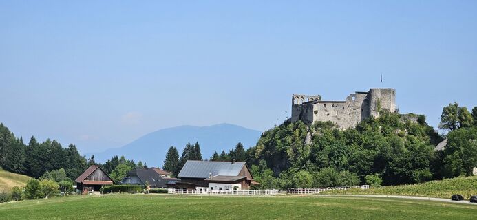
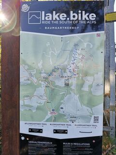
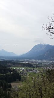
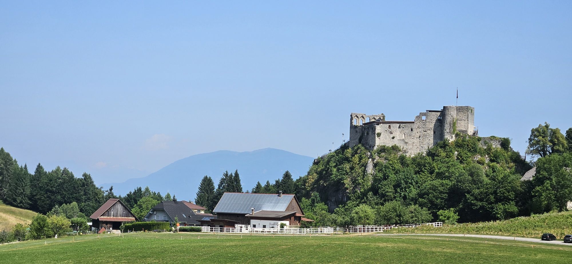
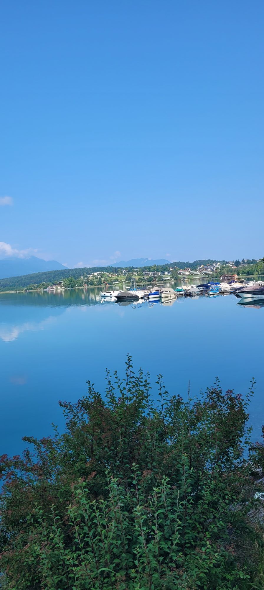
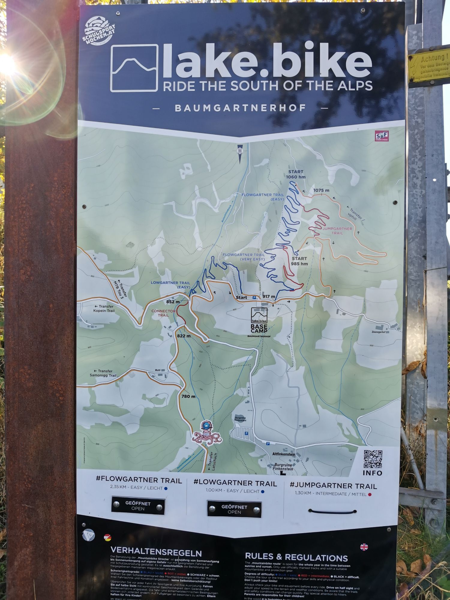
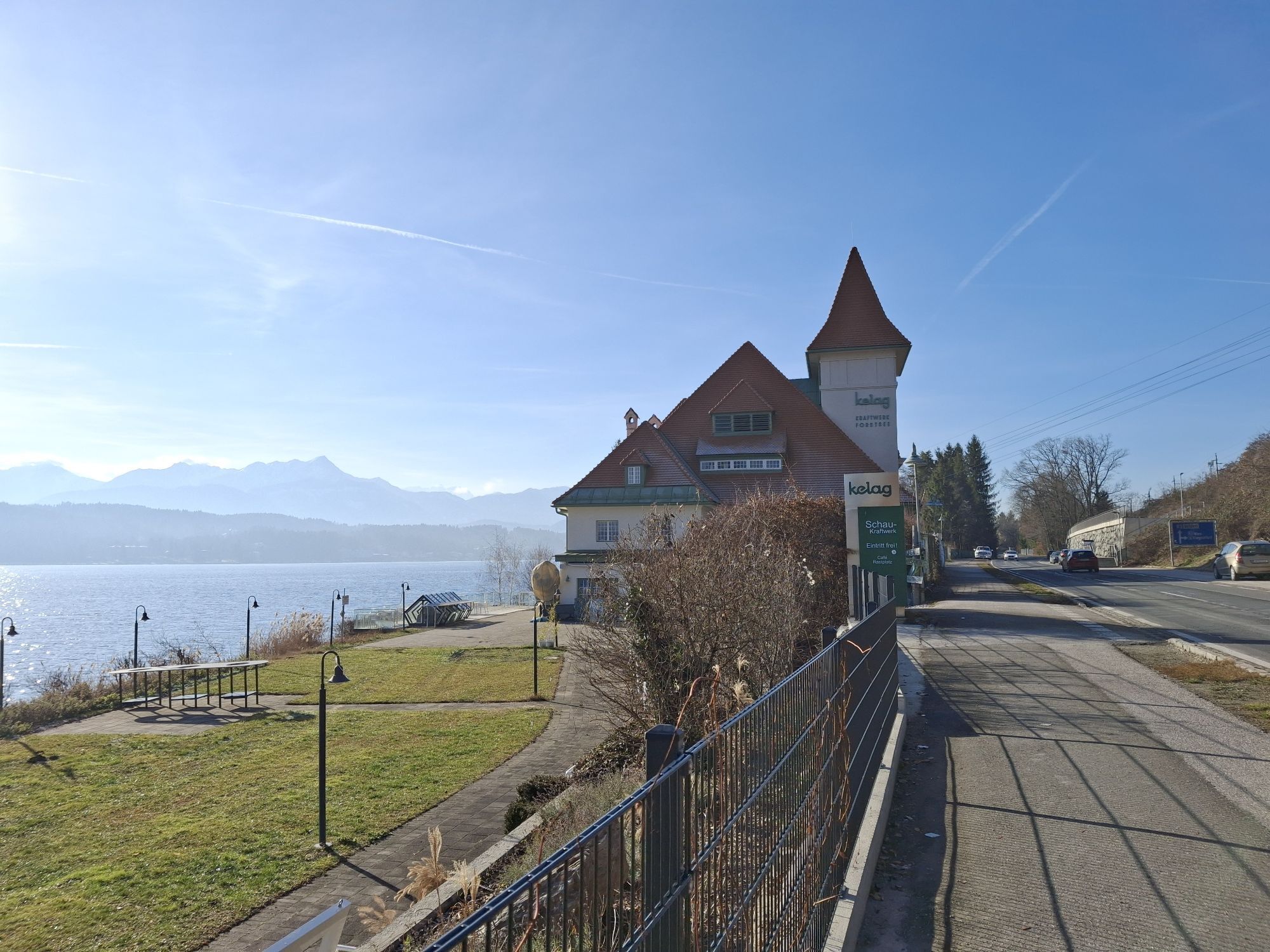
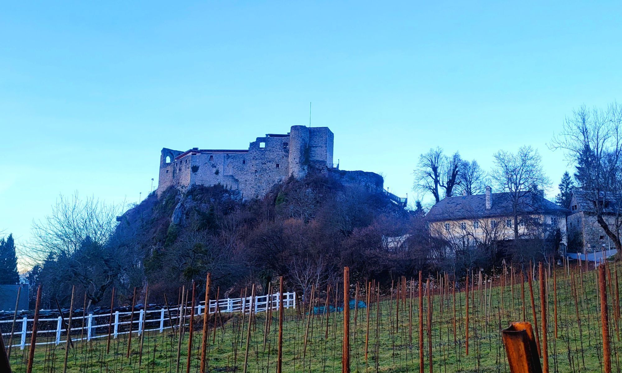
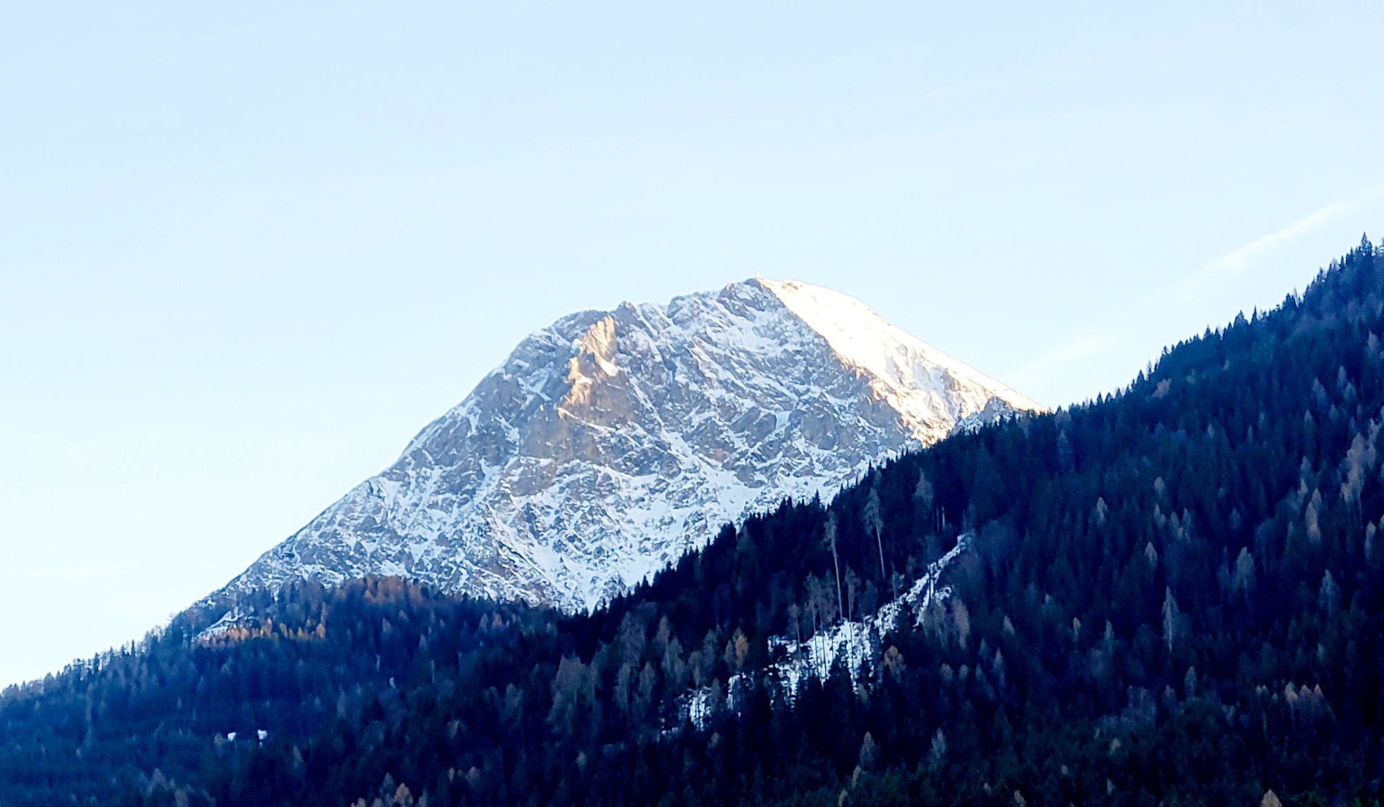
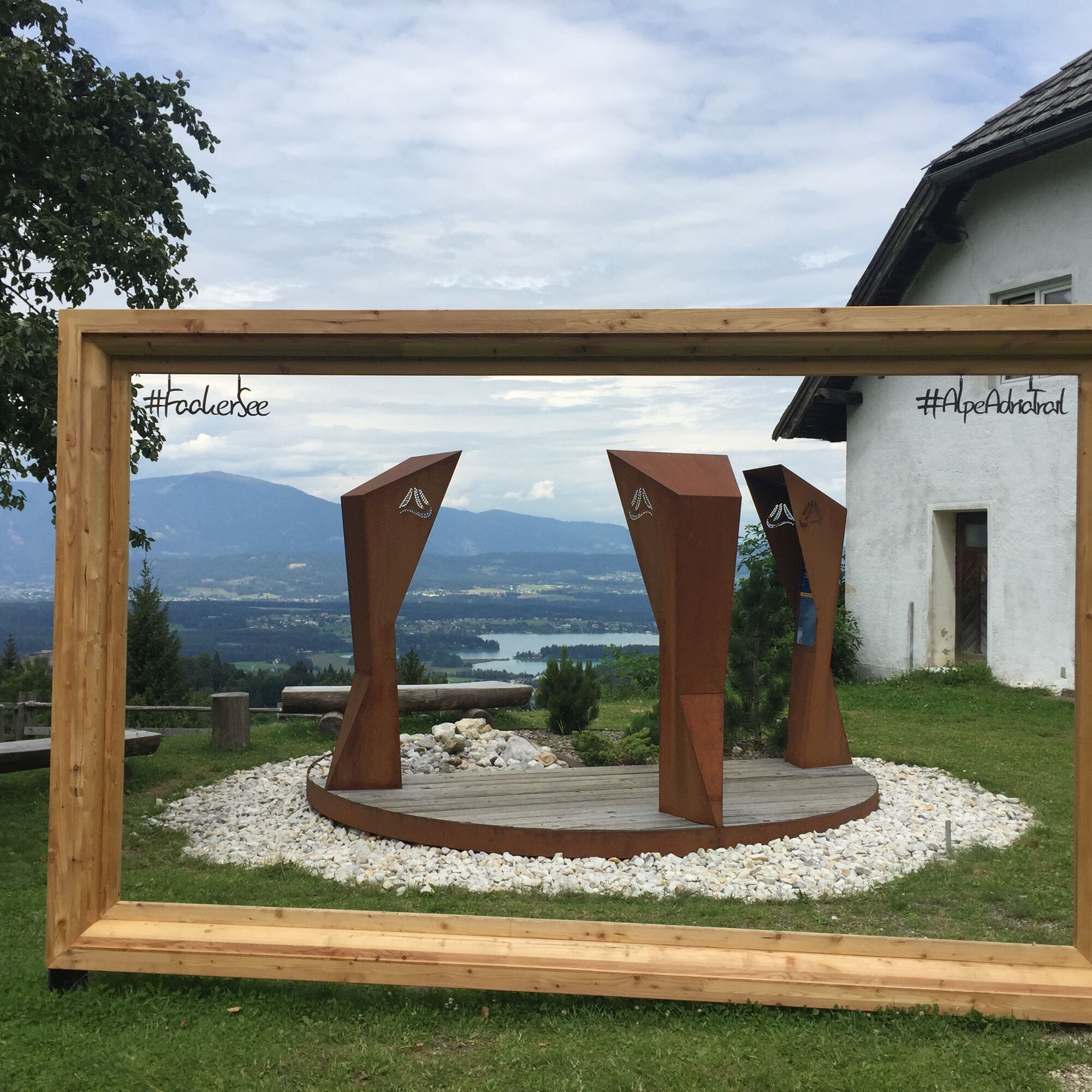
A brief glance over Lake Faak towards Mittagskogel already reveals your next stage destination. At Carinthia's largest climbing area, the Kanzianiberg near Finkenstein, and past the Finkenstein castle arena, it's time for climbing for you as well. At an altitude of 919m, you now reach one of the most beautiful views of Carinthia at Baumgartnerhöhe. Enjoy the wonderful view over Lake Faak during a stop at Baumgartnerhof. A rapid descent then takes you back to Lake Faak. Please be especially cautious here, as oncoming traffic is constantly expected and the road has numerous road damages.
Back at Lake Faak, you head in the opposite direction over one of the notorious parts of the Ironman Austria route, the Ribnig. But this time downhill. Then it continues to the St. Martin turnoff before Rosegg, where you have to take a 90° turn downhill towards Orainsattel. Reduce speed in time!
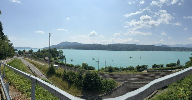
The Orainsattel is a short but tough climb on a lightly trafficked road through a cool forest. Upon reaching Ledenitzen, you are back on the gently descending glide section of the Ironman route to St. Jakob im Rosental. You can really let it run until St. Johann im Rosental. Then follows a short detour with slopes of 15% over Rabenberg to Weizelsdorf. At Kirschentheuer, you cross the Drau, which has accompanied you for a long time. Hollenburg and Plöschenberg are your next “opponents” to be conquered. After 113 km, you make another wonderful extra loop up to Zedras. Here you tackle slopes of around 15% again. Then follows another classic of the Ironman route (again in reverse direction), the Rupertiberg.
Over some “waves,” you go via St. Egyden and Penken, through beautiful landscape over Schiefling back down to Lake Wörth. Now you have a few relaxed kilometers with views of Lake Wörth to let the route sink in once more before the well-deserved finish.
The route runs on public roads and is for experienced road cyclists. Traffic regulations apply.
Motorway A2 exit Velden West coming from Salzburg or Velden East coming from Vienna.
Federal road: B83
Carinthia S-Bahn Velden am Wörthersee station
Information on bringing bicycles on ÖBB trains can be found here.
You can find free parking, for example, at the Velden ice rink.
There are also numerous public parking spaces (subject to fees in the summer months!)
5
Accommodations, bike shops, route tips, and lots of other info on road cycling can be found at velo.woerthersee.com
If you also use Strava, you'll find numerous KOMs by Johnny in the region ;)
Spletne kamere s turneje
-
Aussichtsturm Pyramidenkogel
-
Parkhotel Pörtschach
-
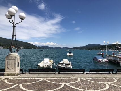
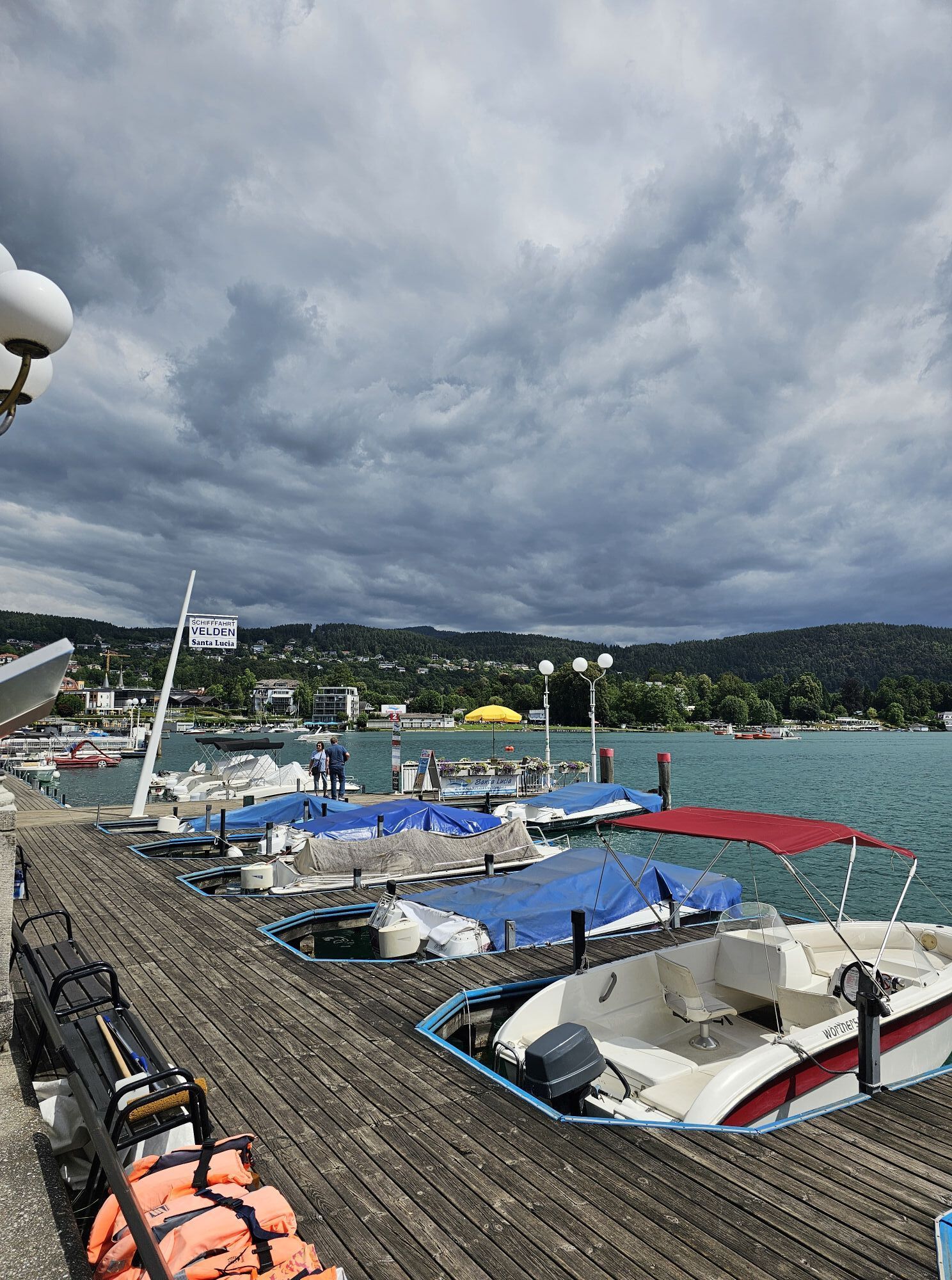
Velden - Bootswerft Schmalzl
-
Hotel Schloss Seefels
-
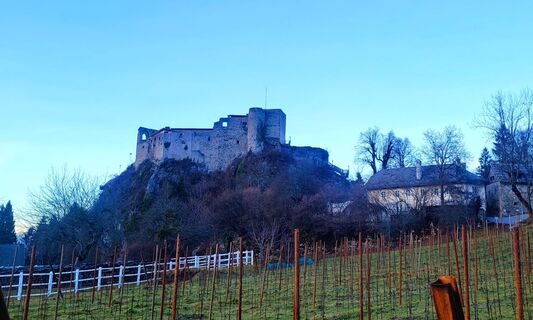
Burgruine Finkenstein
-
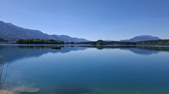
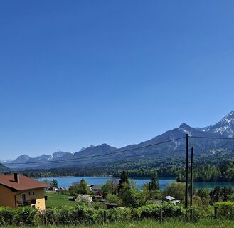
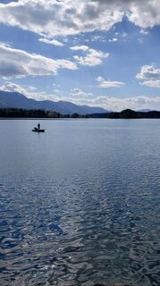
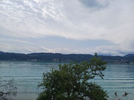
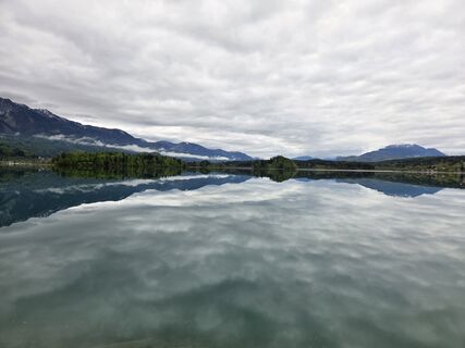
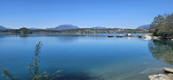
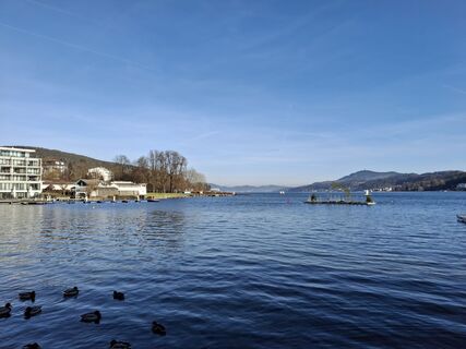
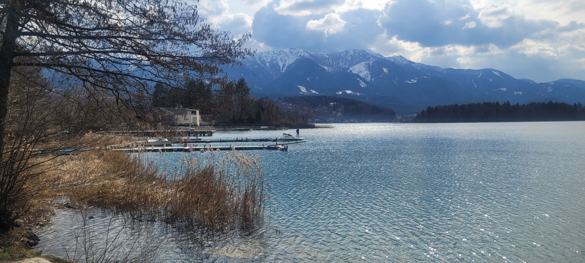
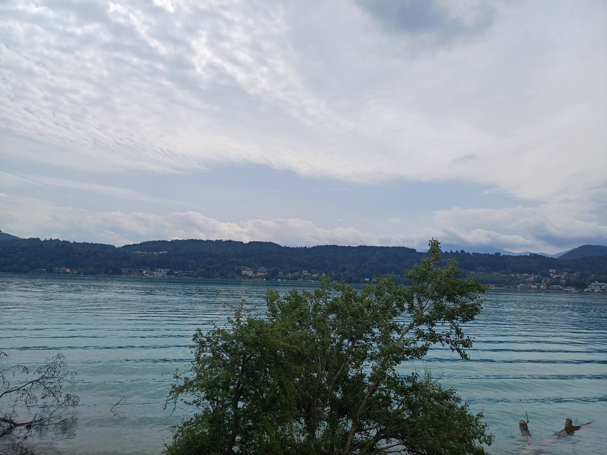
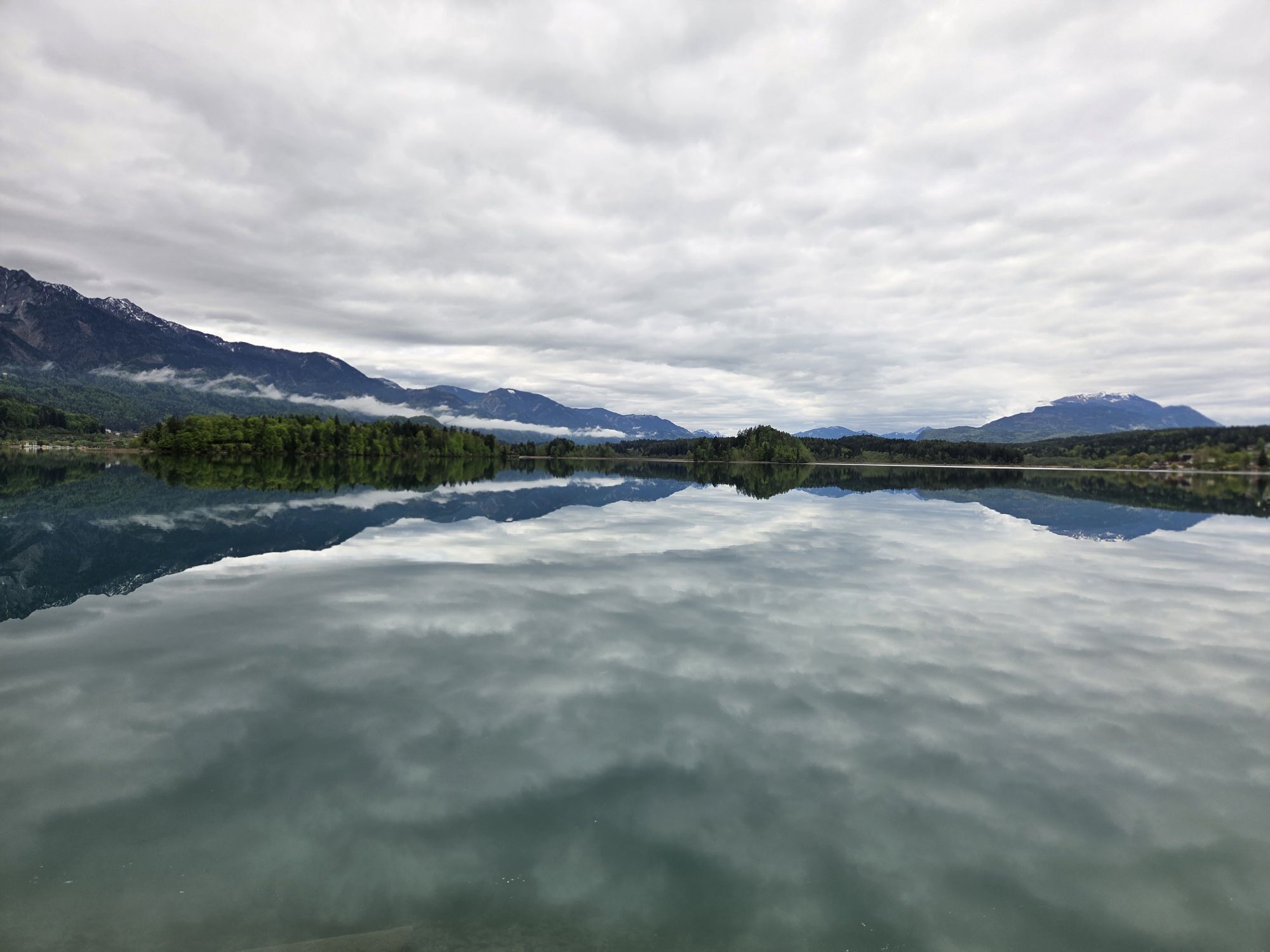
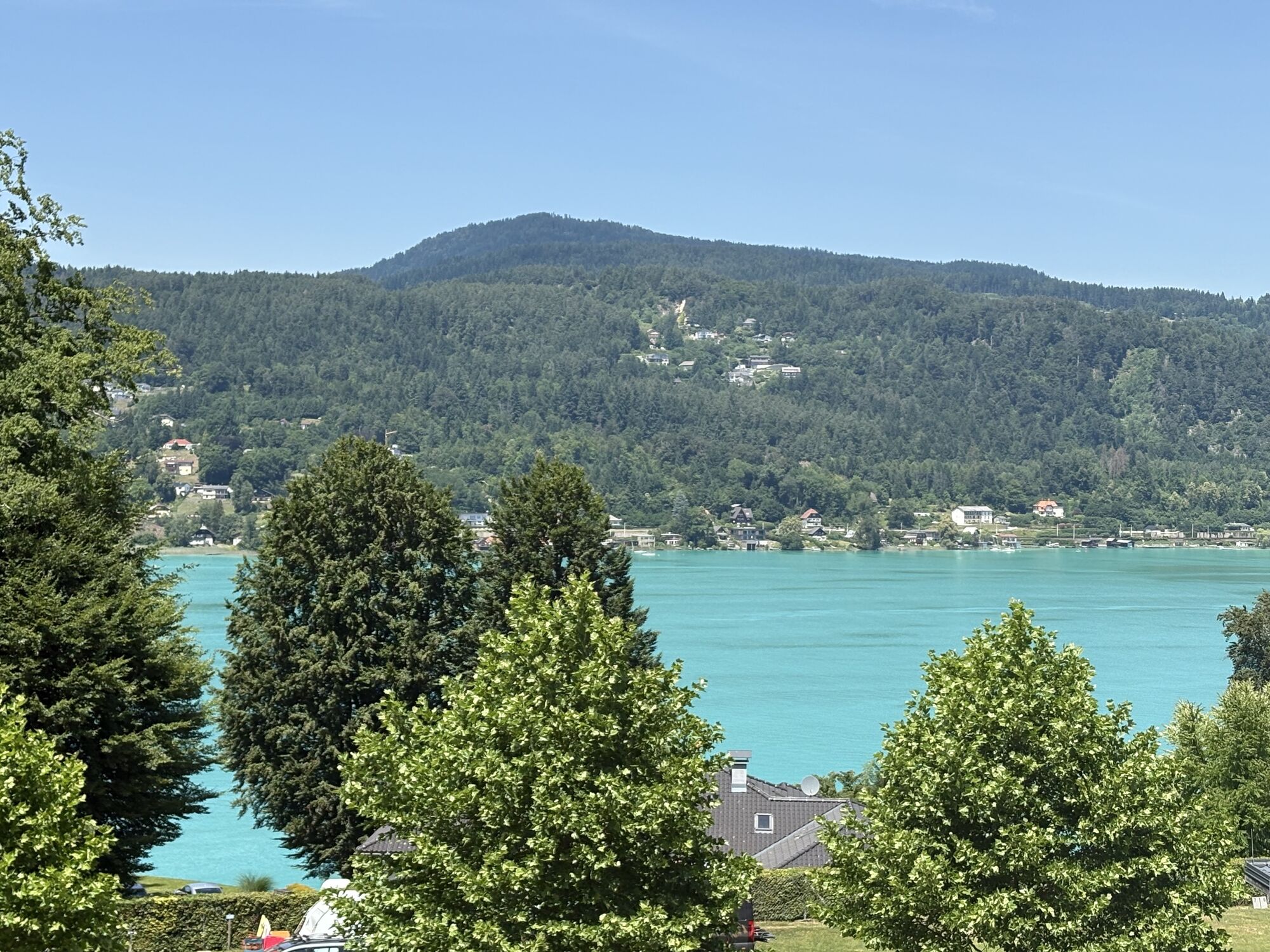
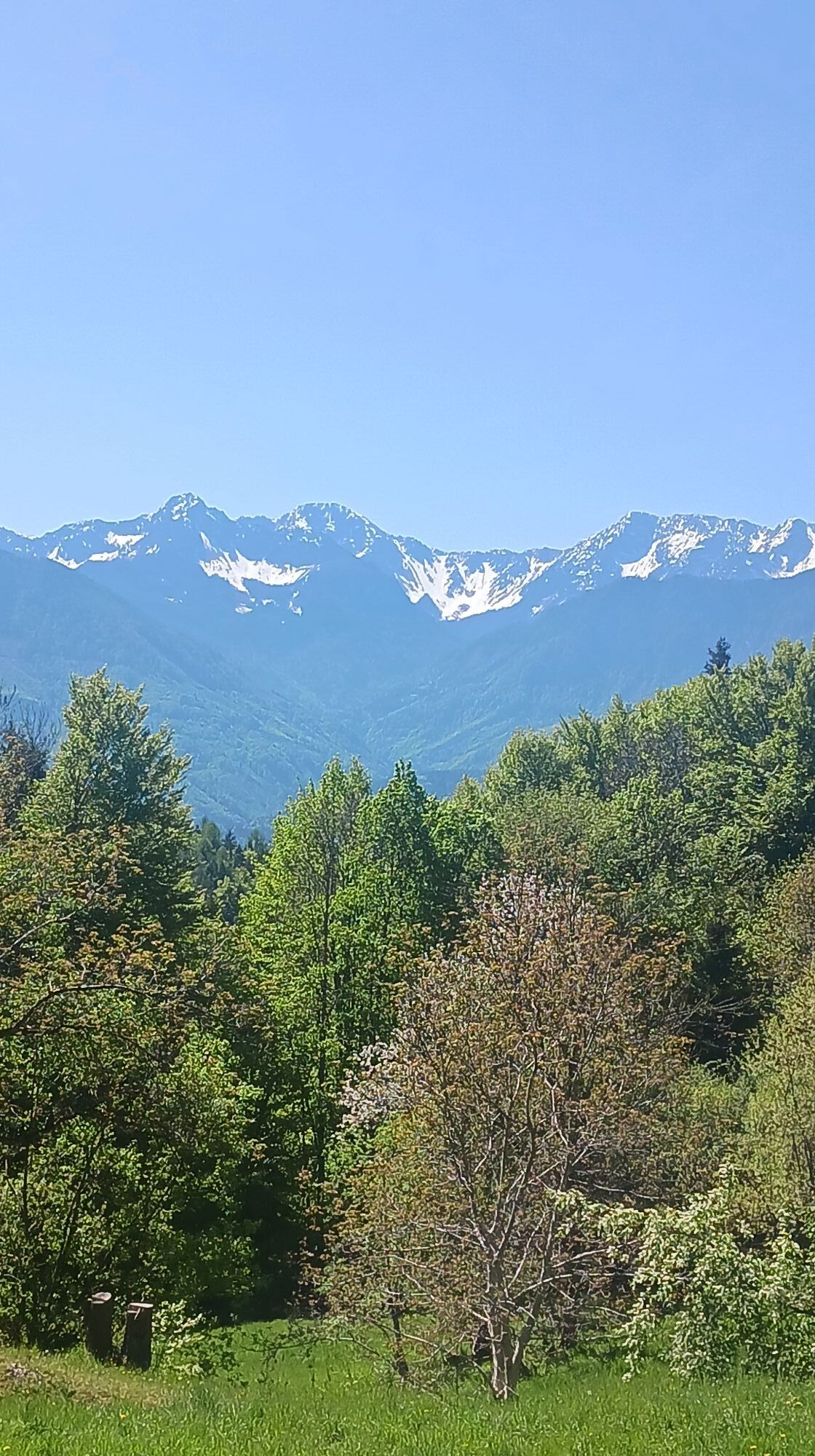
Faaker See
-
Faaker See
-
Faaker See
-
Faaker See
-
Faaker See
-
Faaker See
-
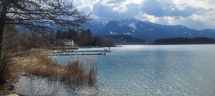
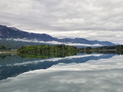
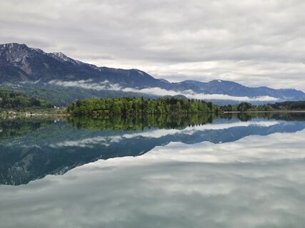
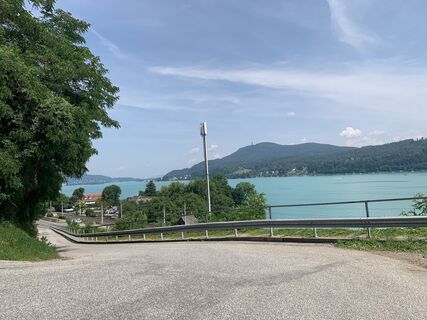
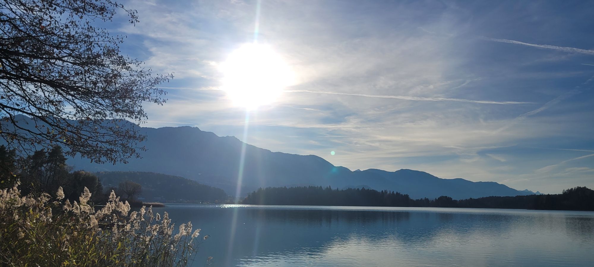
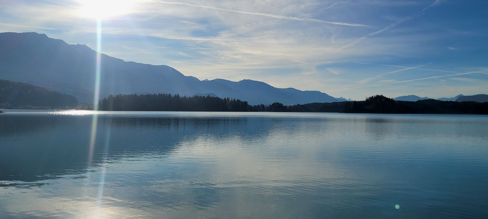
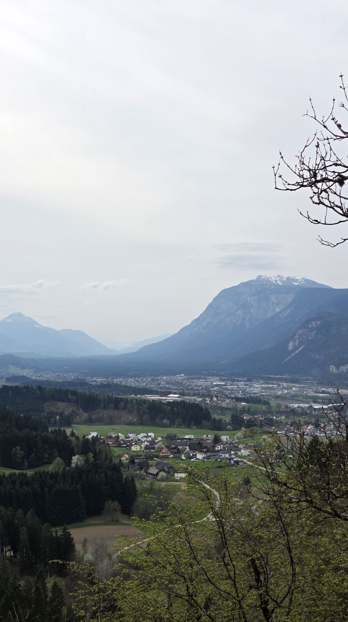
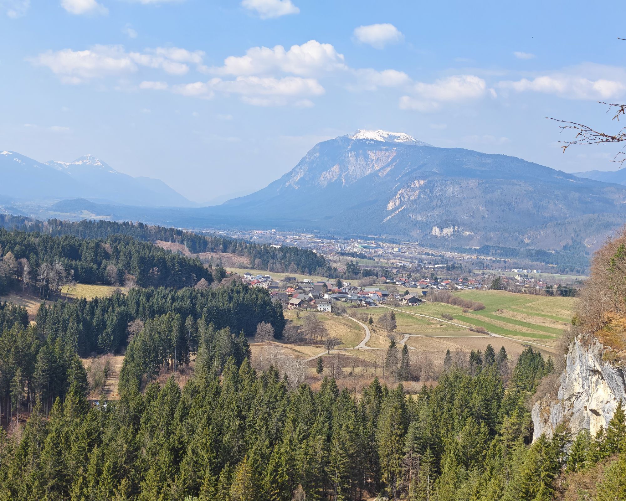
Ossiach/Ossiachersee
-
Ossiach/Ossiachersee
-
Ossiach/Ossiachersee
-
Ossiach/Ossiachersee
-
Ossiach/Ossiachersee
-
Ossiach/Ossiachersee
-
Annenheim/Ossiacher See
-
Landskron
-
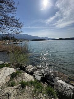
Wörthersee / Saag
-
Villach - Friedensbrücke
-
Ludmannsdorf/Bilcovs - Gasthof Ogris
-
Schloss Loretto
-
Aussichtsturm Pyramidenkogel
-
Velden - Barry Memle
-
Velden - Barry Memle
-
Villach
-
Köttmannsdorf - Plöschenberg
-
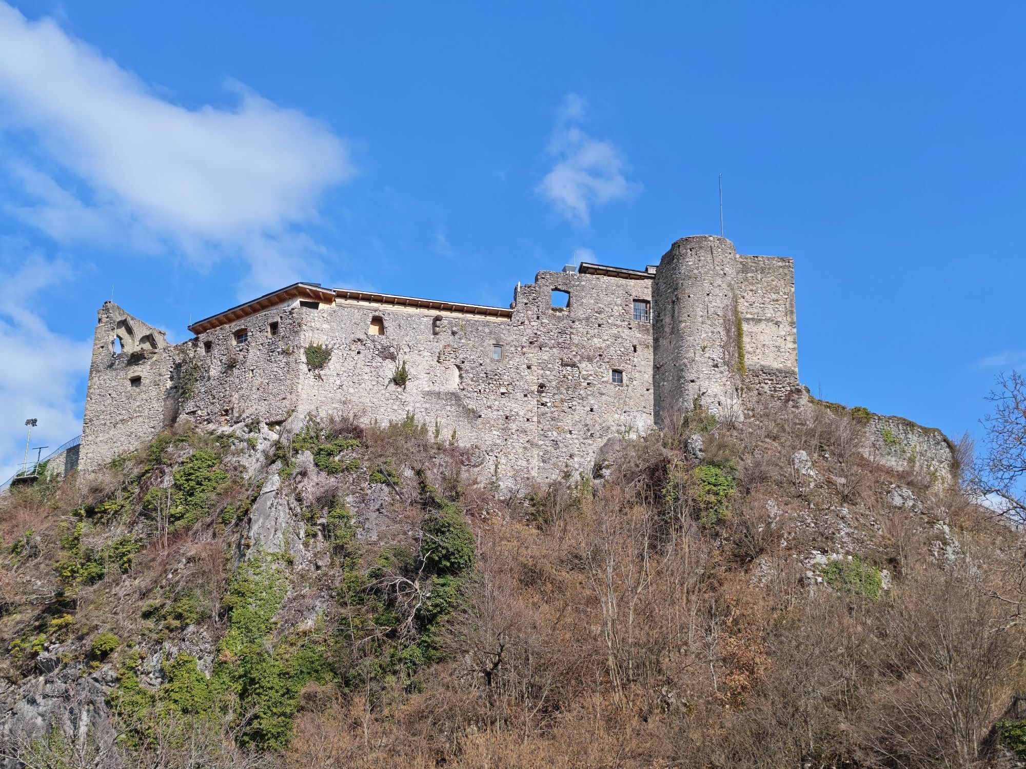
Burgruine Finkenstein
-
Jilly Beach
-
Hotel SeeRose
-
Velden Kurpark / Karawankenplatz
-
Strandpark Velden
-
Bucht Velden / Bootswerft Schmalzl
-
Golf Velden am Wörthersee
-
Ferlach
-
Hotel Post Wrann
-
Pörtschach Süd
-
Faaker See / Grüner Heinrich
Priljubljeni izleti v okolici
-
4.2
MTB-Tour zur Klagenfurter Hütte
srednjaMountainbike 12.6 km -
5.0
Wörthersee EXTREM
težkoPohodništvo 60.1 km -
4.5
Pyramidenkogel path Maria Wörth
srednjaPohodništvo 10.8 km -
4.4
Finsterbach Waterfalls - Circular route
srednjaPohodništvo 3.87 km -
4.2
Cycling around Lake Wörthersee – leisurely cycling between turquoise blue water and fantastic views
srednjaKolesarjenje 48.2 km -
4.2
Slow Trail Bleistätter Moor (Variant A)
svetlobaPohodništvo 7.22 km -
4.6
Rotschitza Klamm Klettersteig B/C
srednjaVia ferrata 3.73 km -
4.5
Baumgtn. Höhe, Mallestiger Mittags- und Schwarzkogel
težkoZimsko pohodništvo 10.7 km -
3.9
Lake Wörthersee Circular Route
srednjaKolesarjenje 41.2 km -
4.4
Mallestiger Mittagskogel
srednjaPohodništvo 8.17 km
Pohodništvo in sledenje


Ne zamudite ponudb in navdiha za naslednje počitnice
Vaš e-poštni naslov je bil dodan na poštni seznam.