







RR006_Klagenfurt Karawanken Loop
Stopnja težavnosti: 3
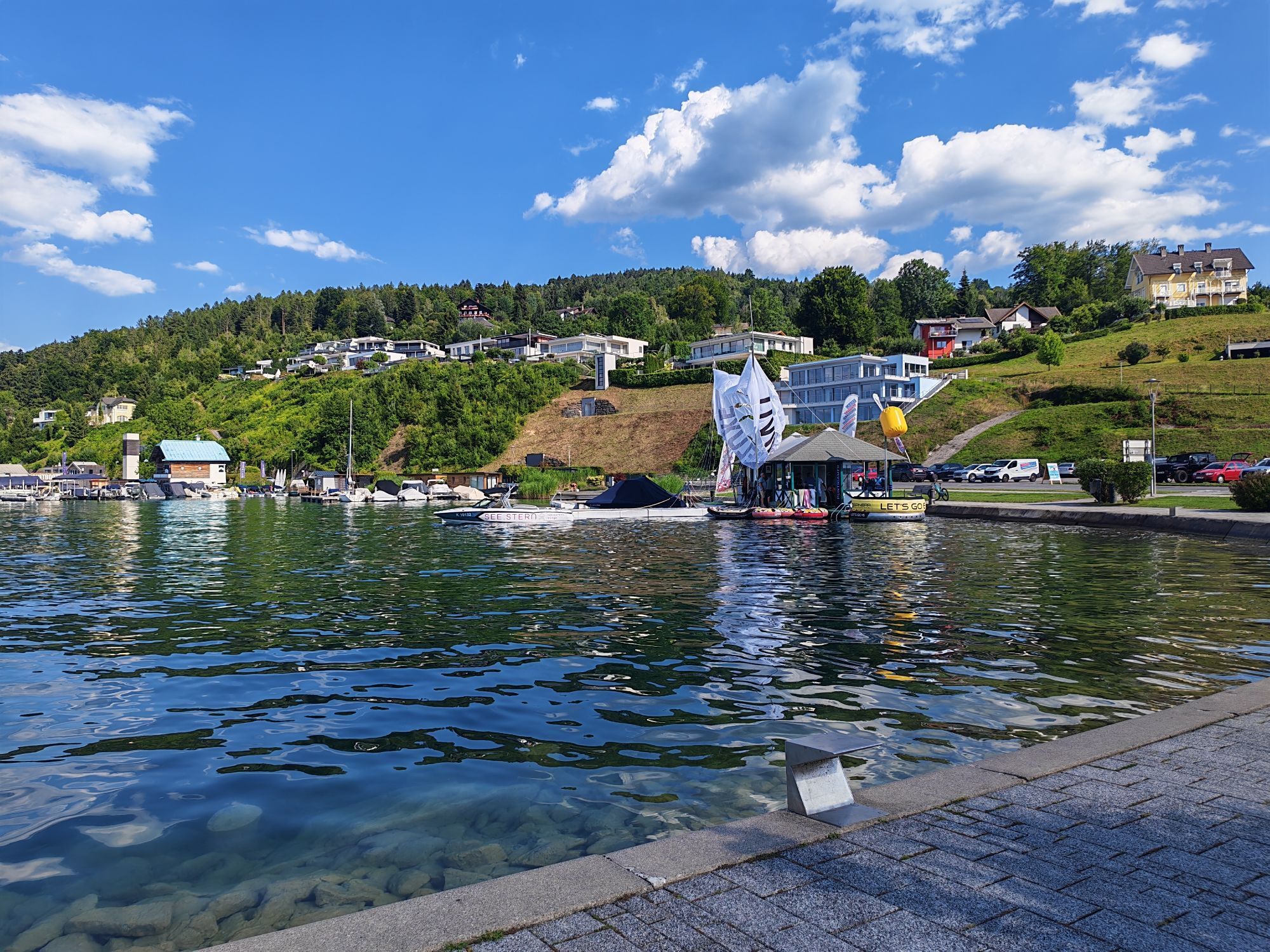
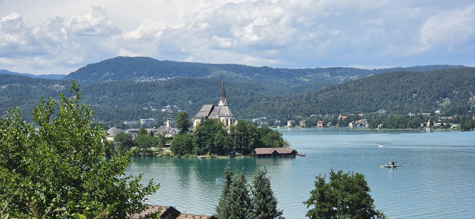
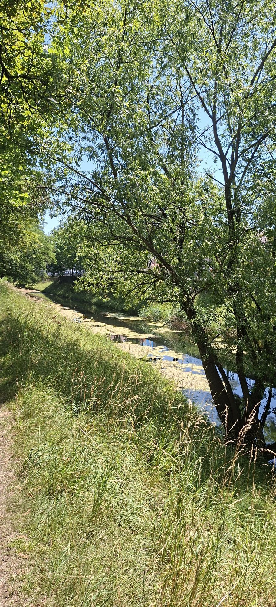
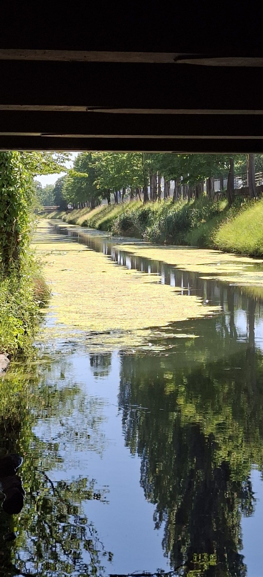
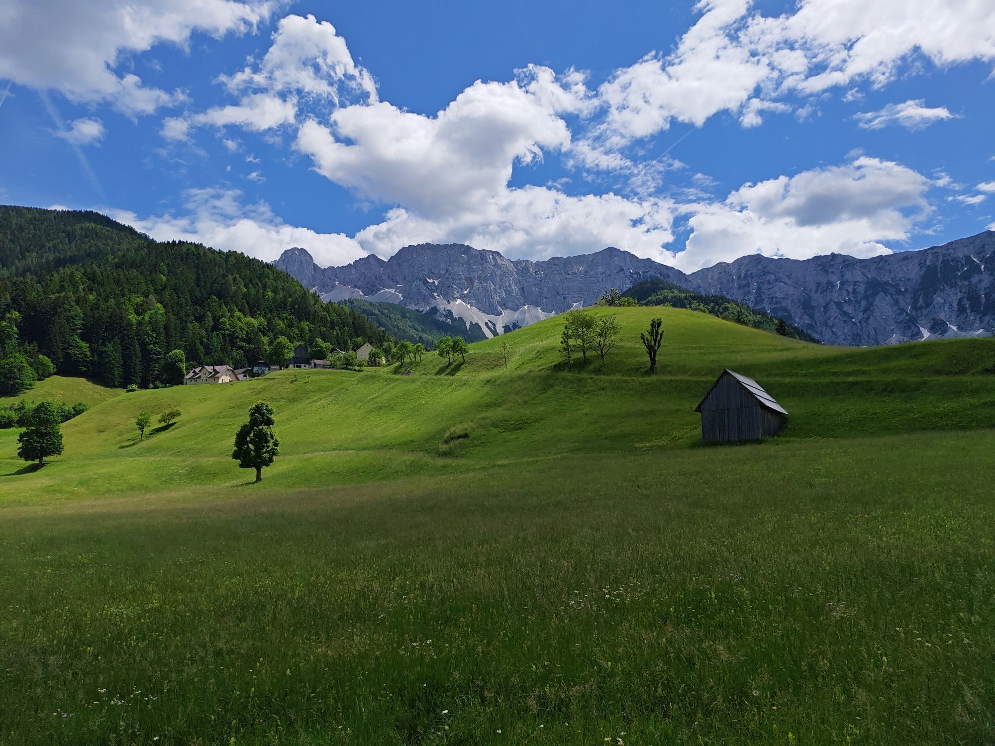
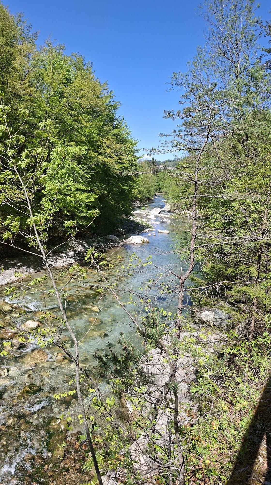
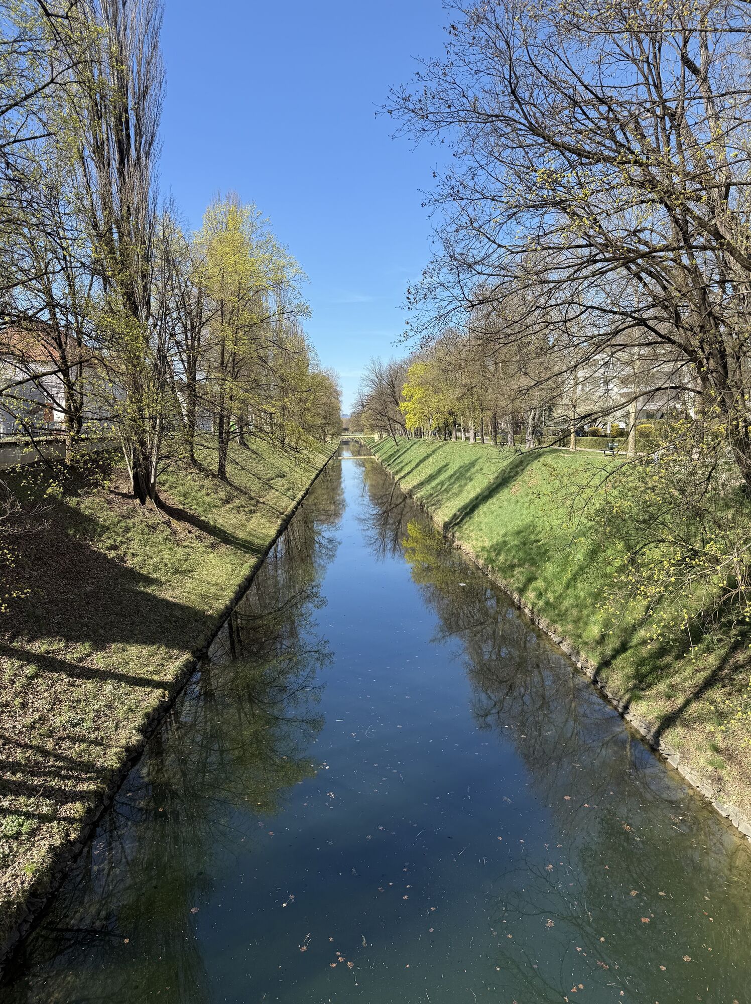
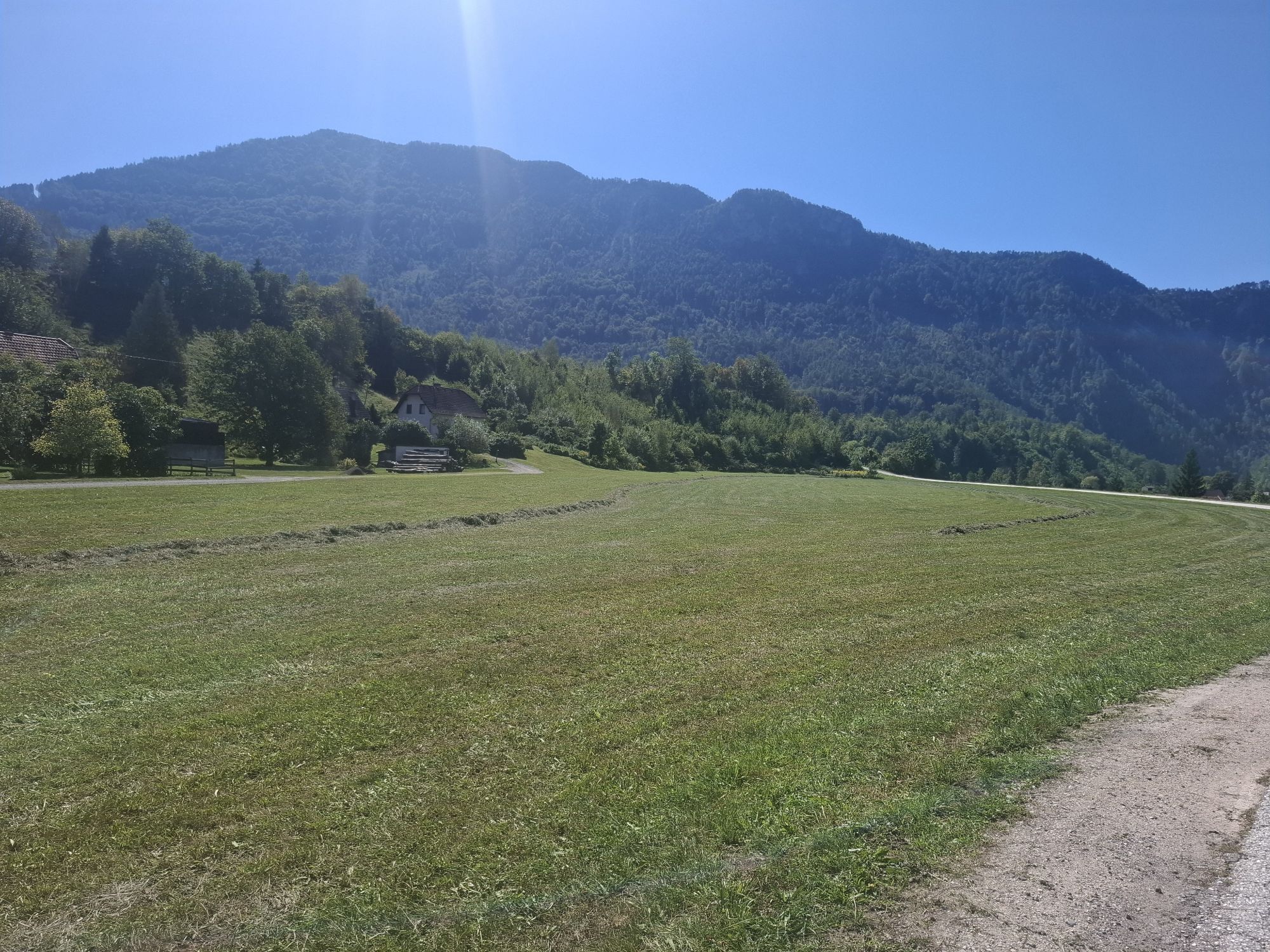
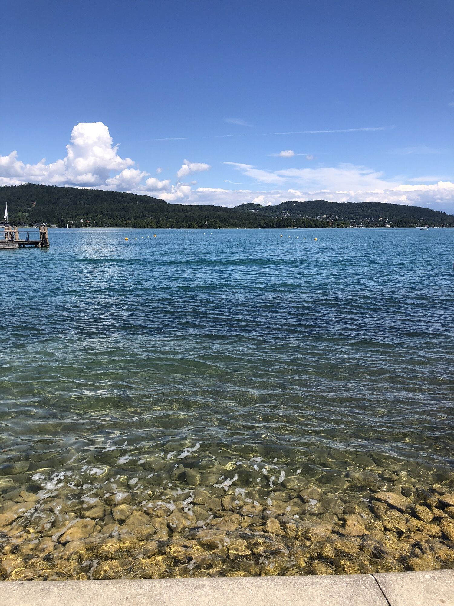
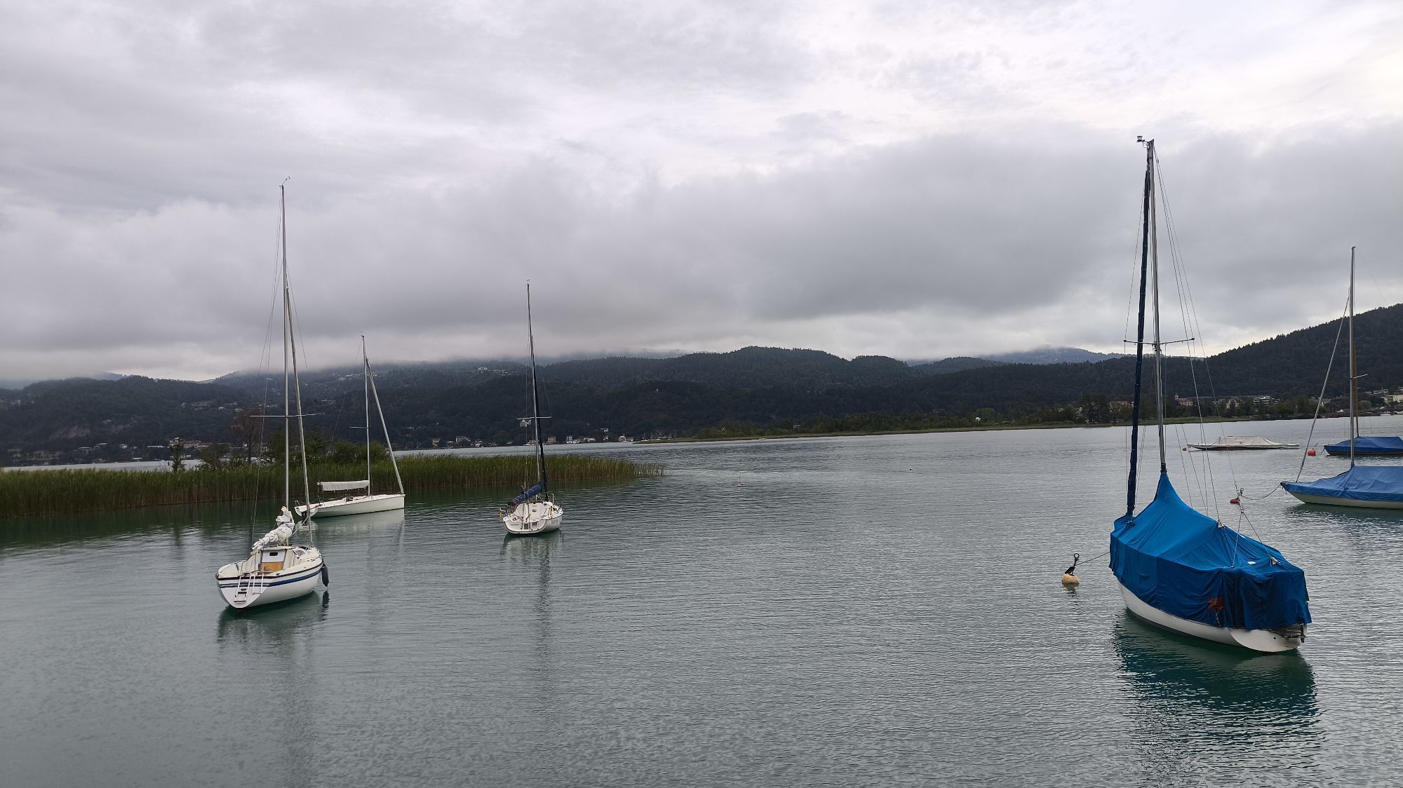
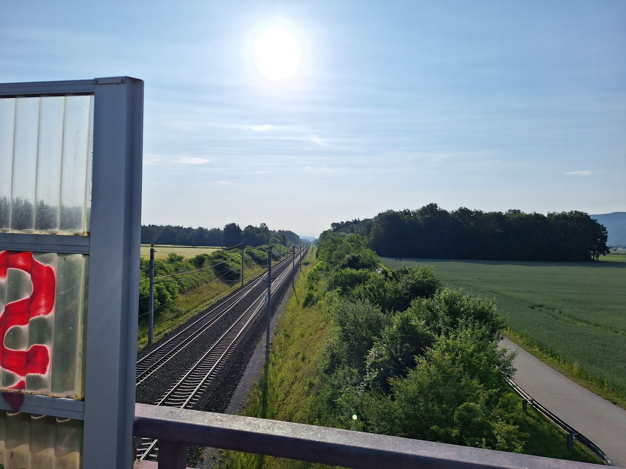
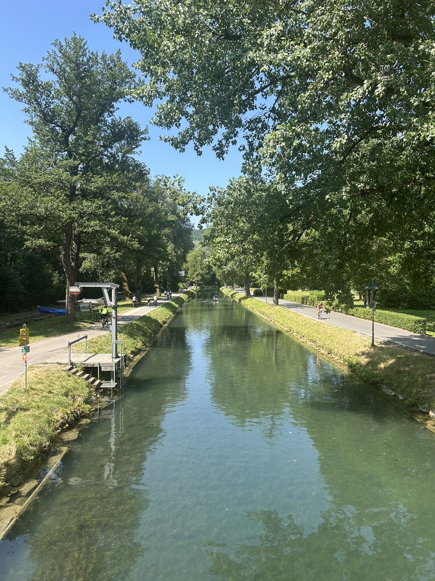
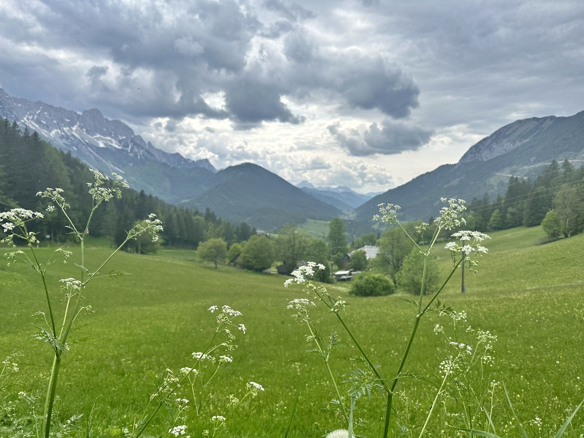
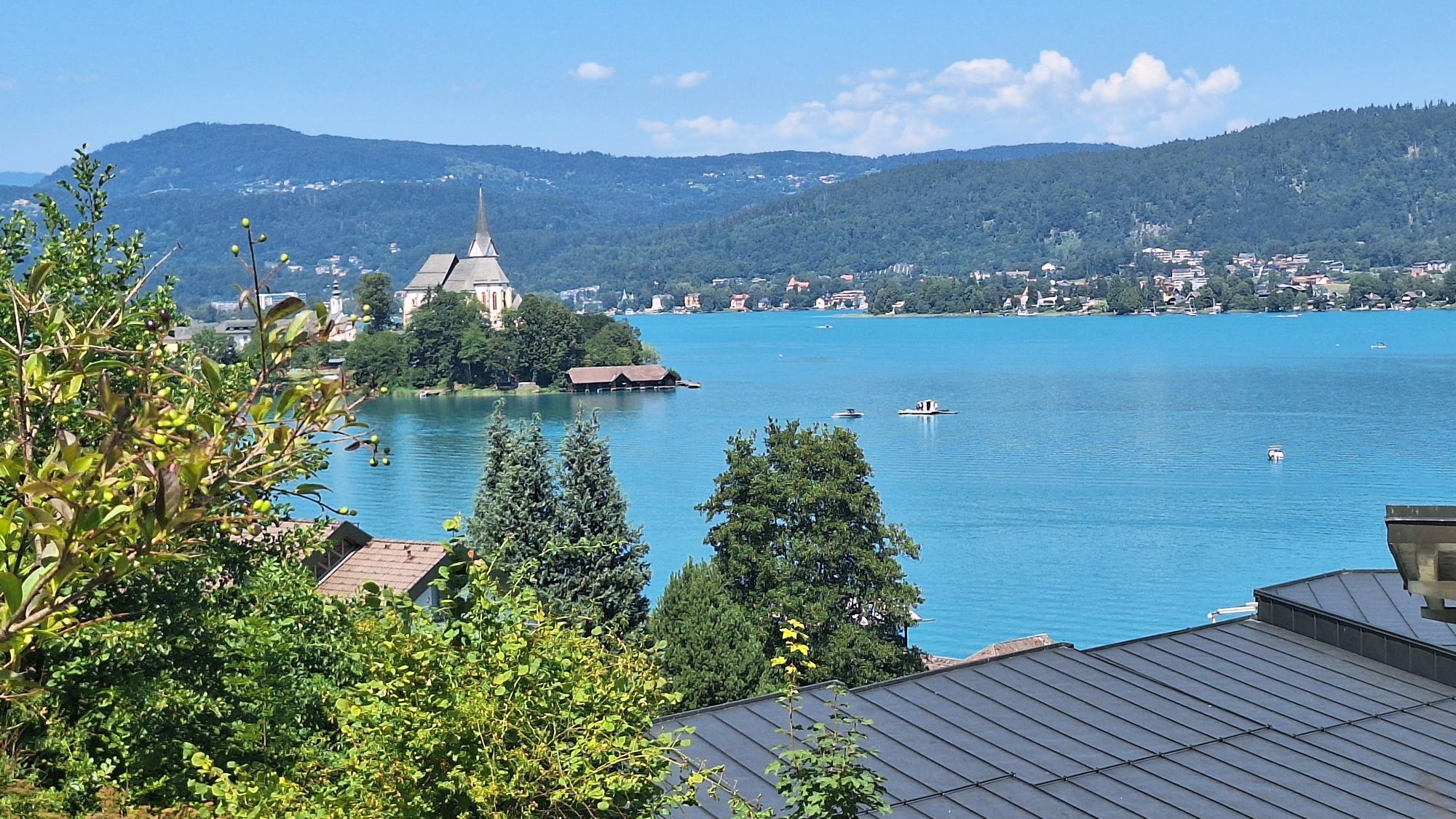
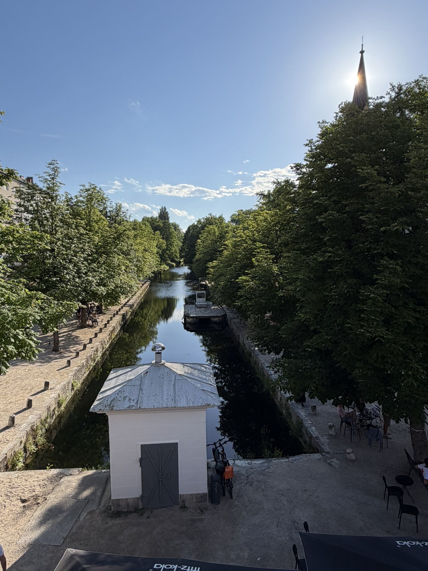
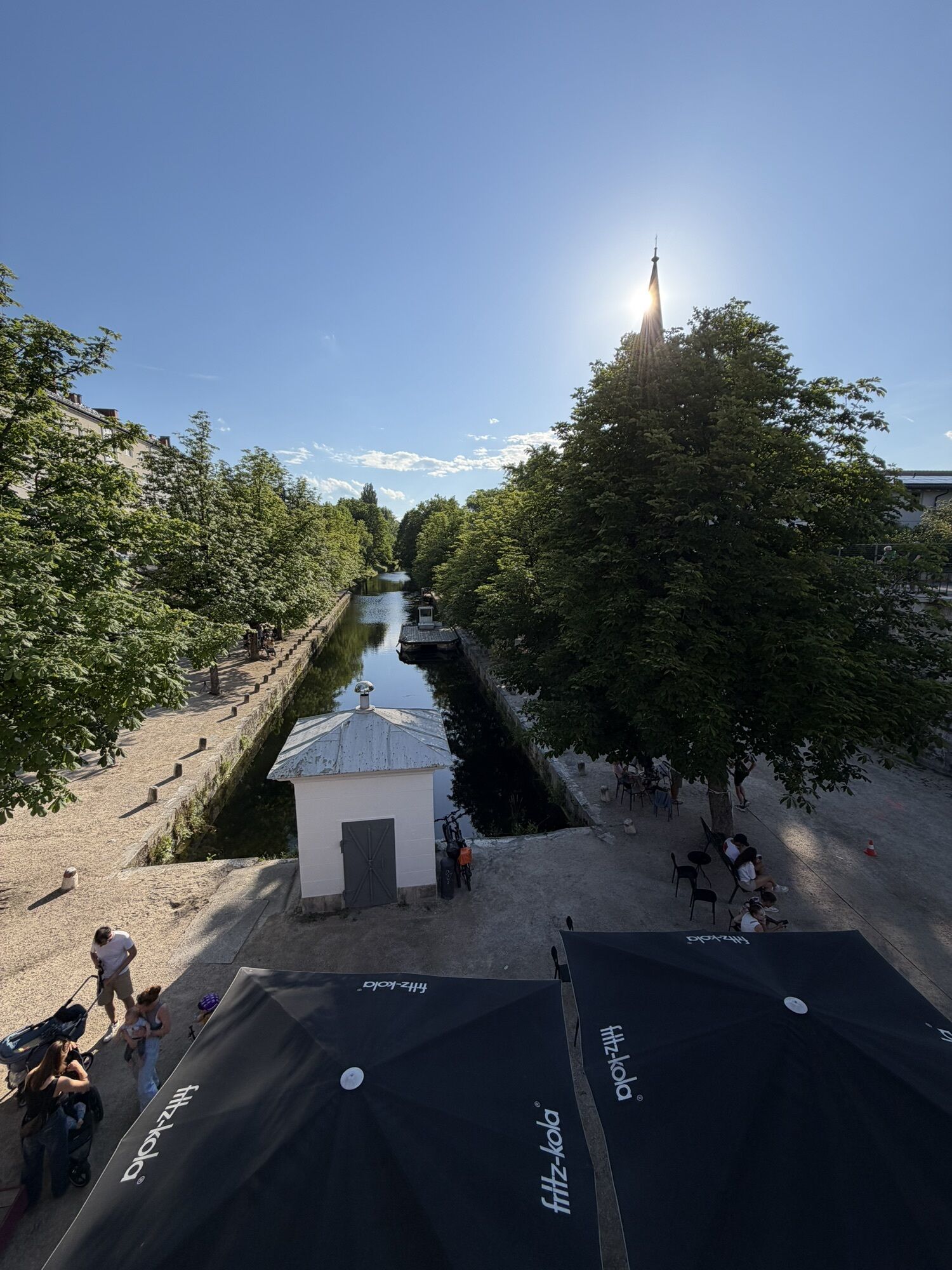

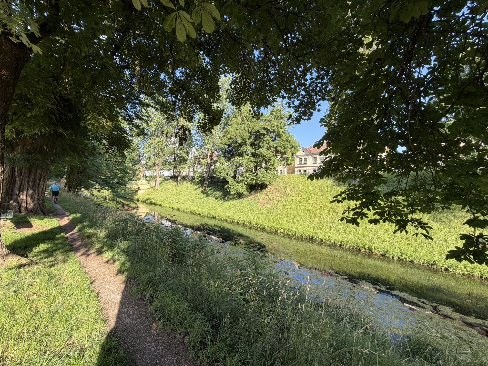
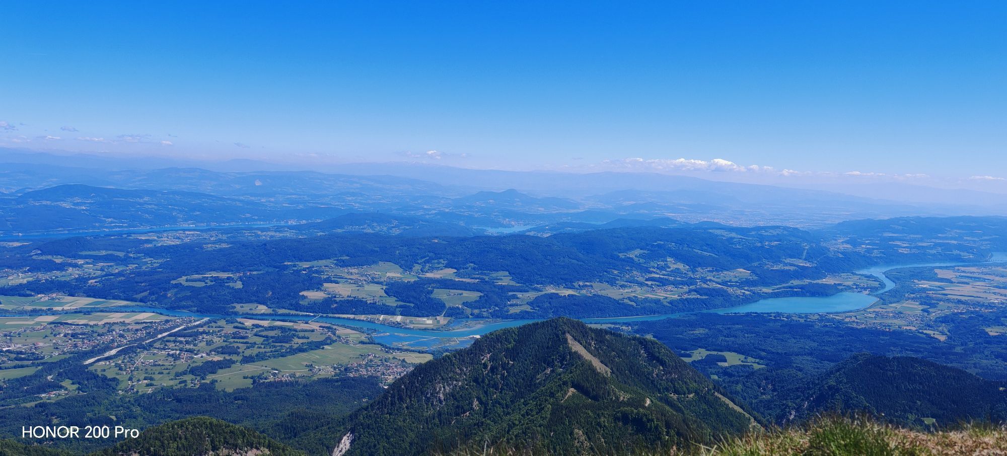
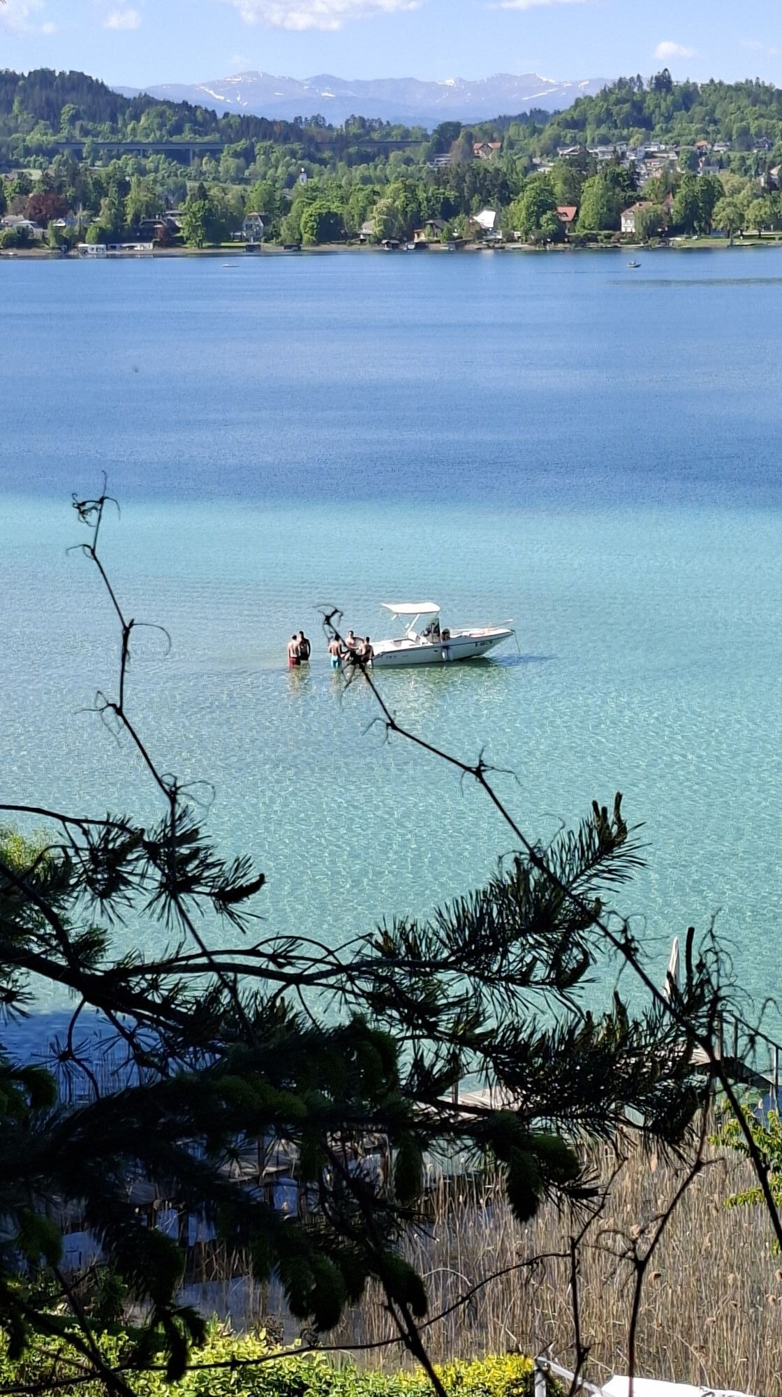
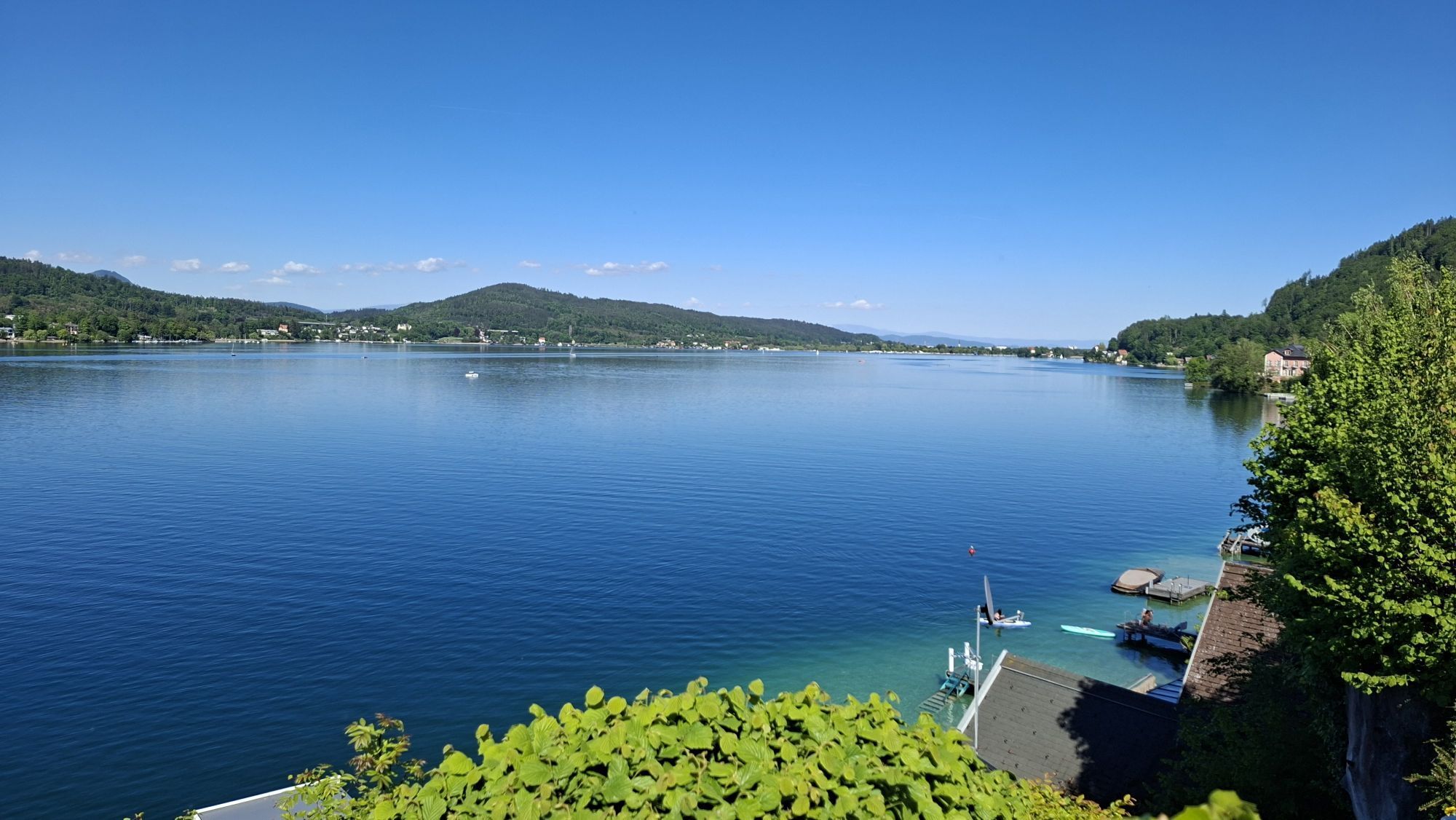
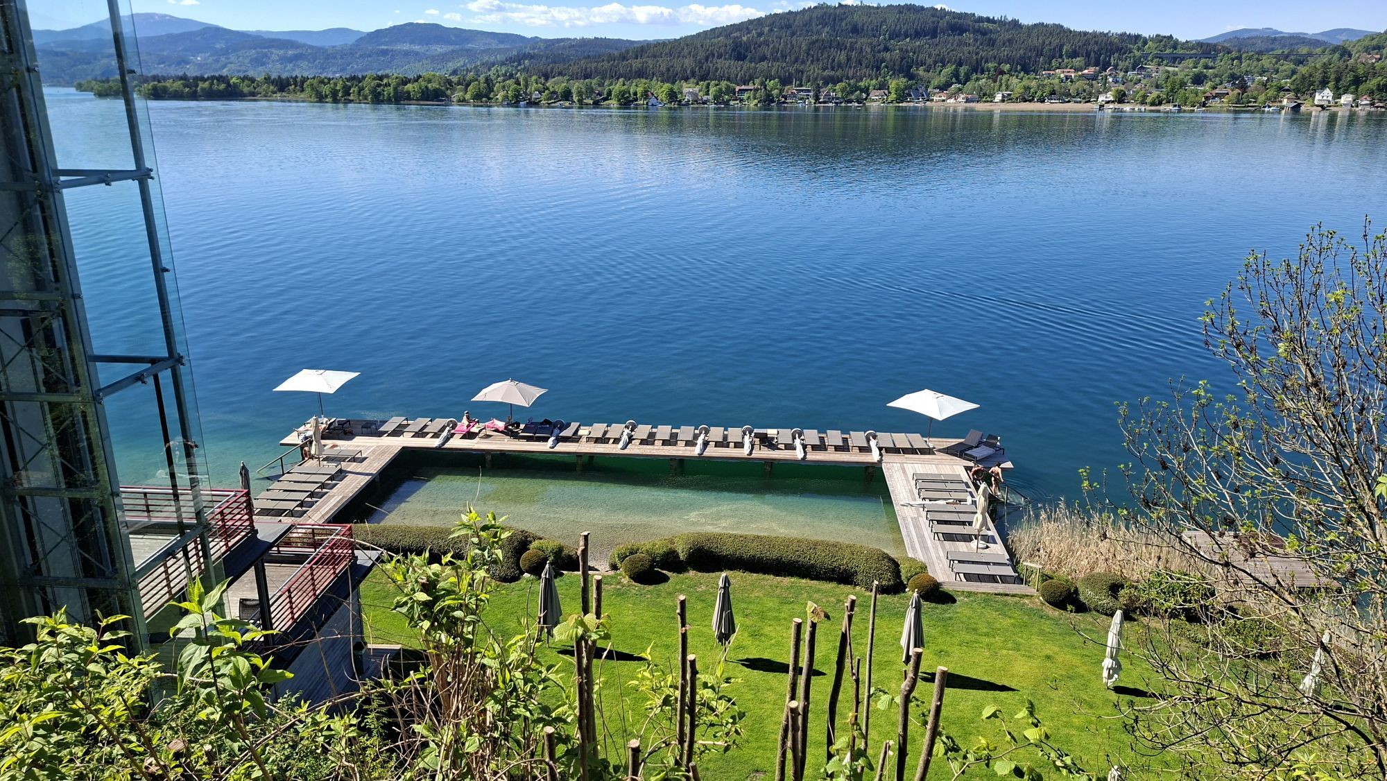
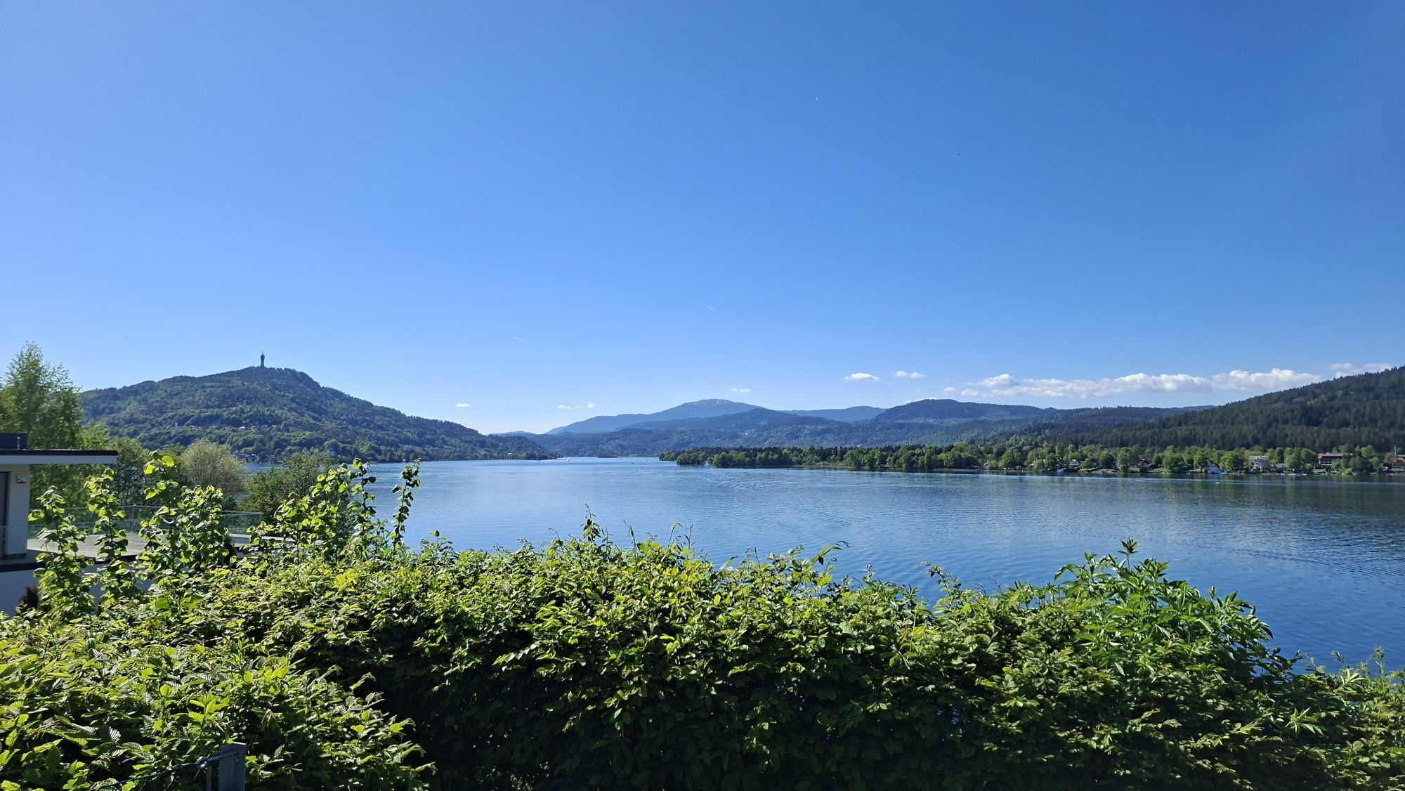
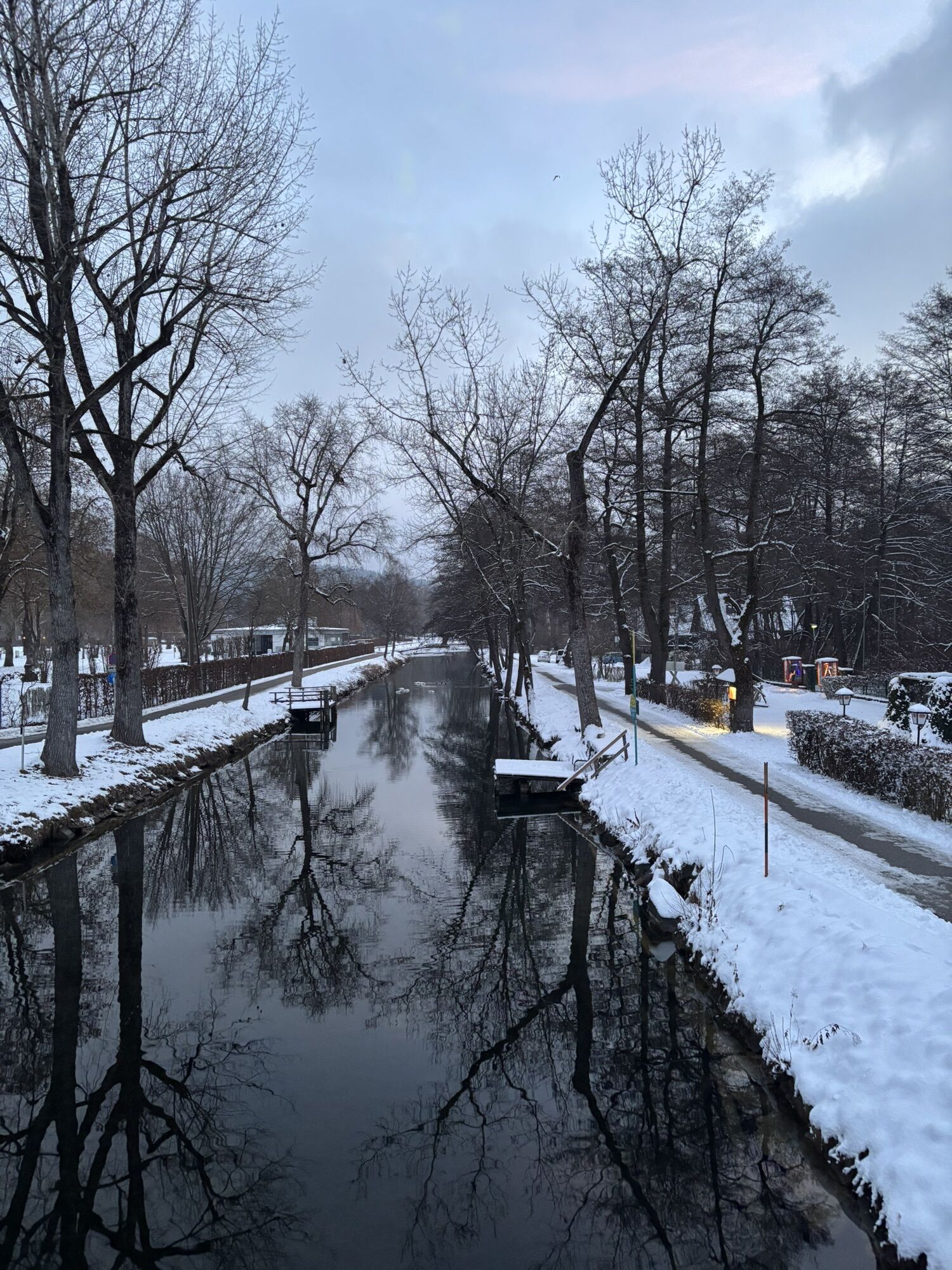
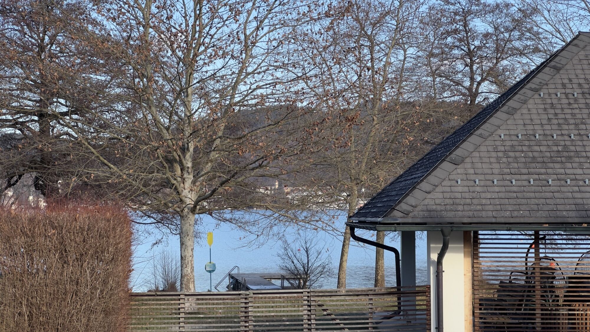
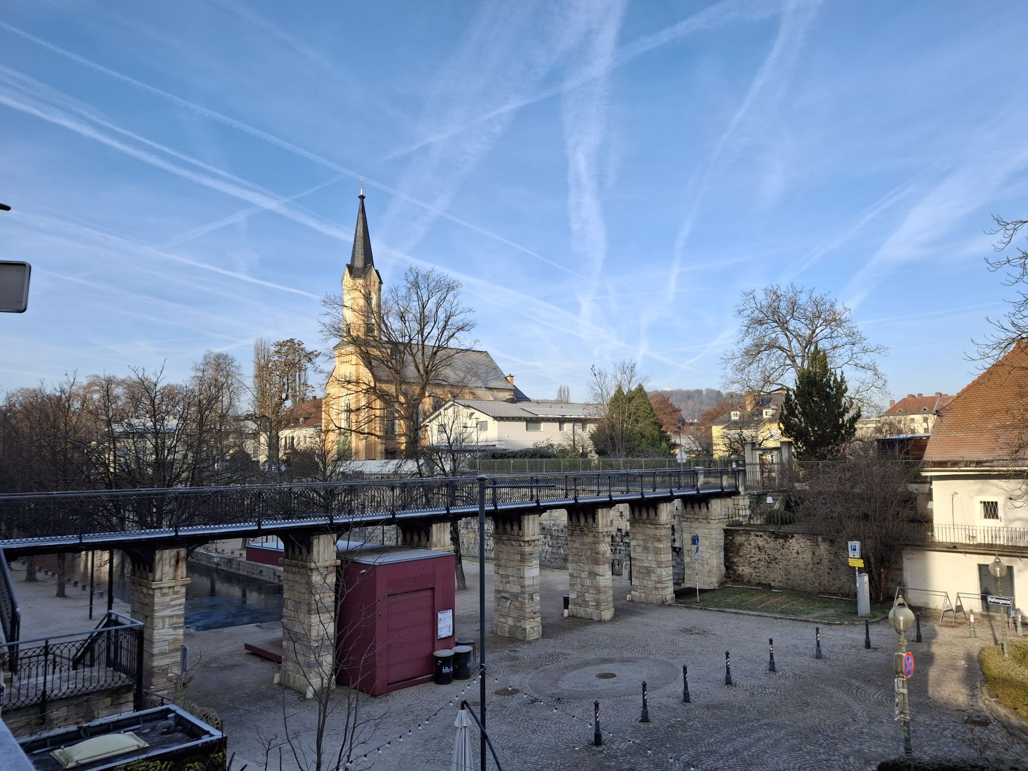
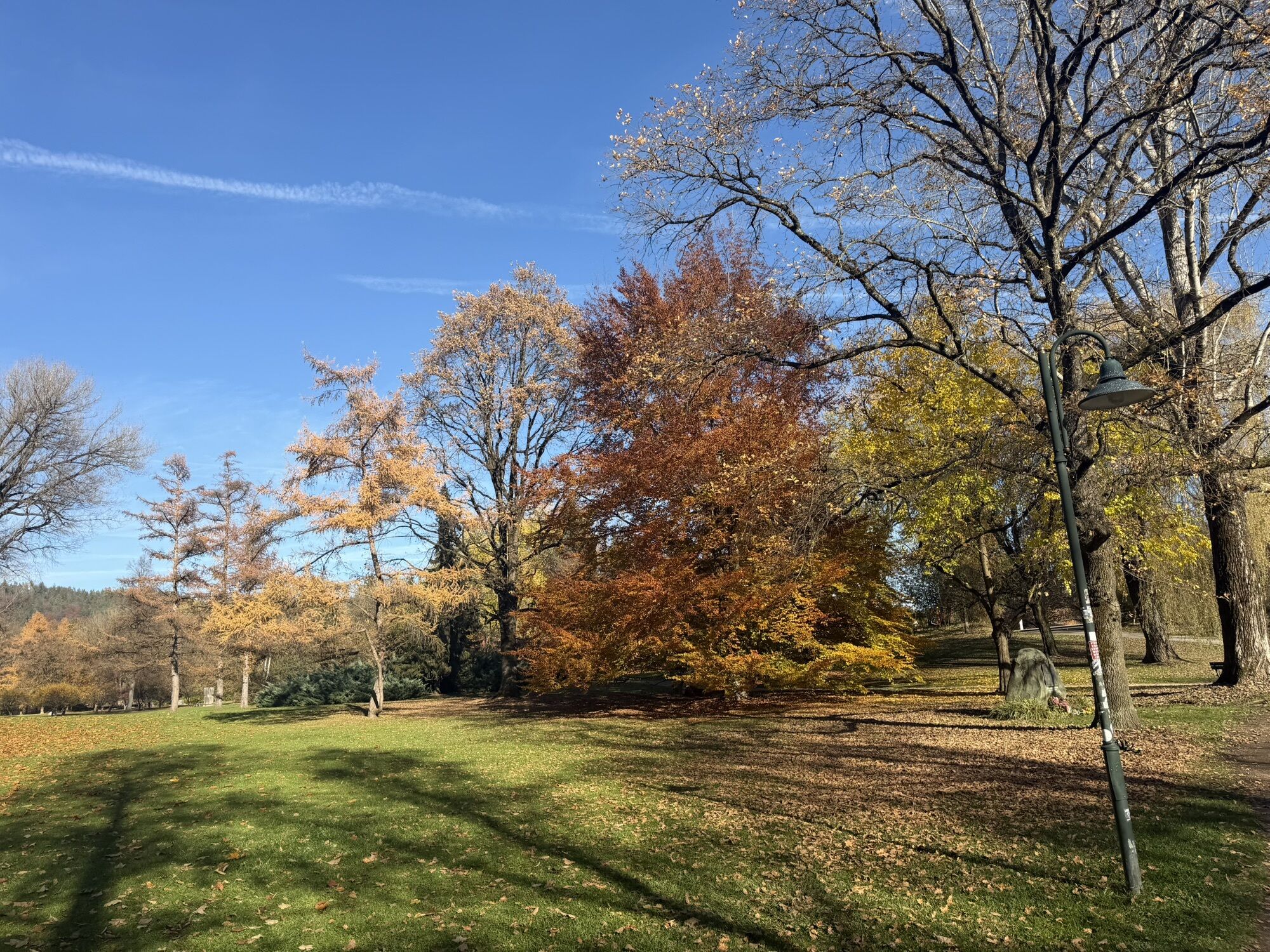
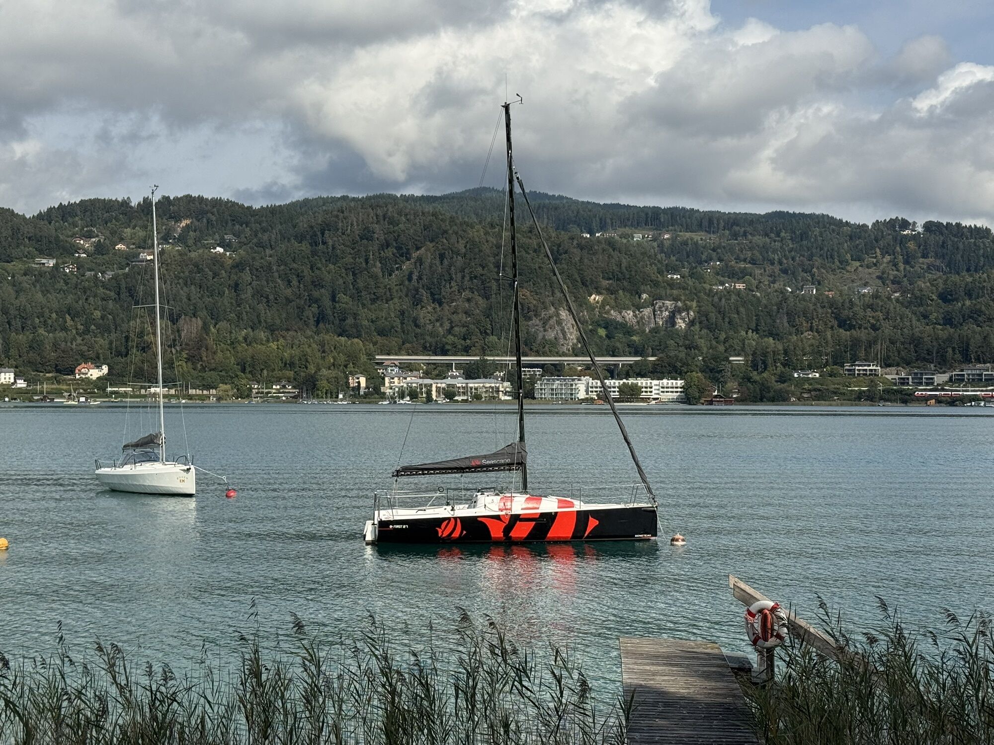
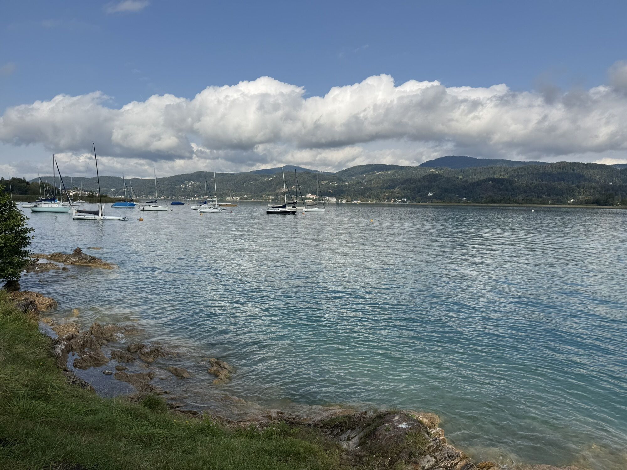
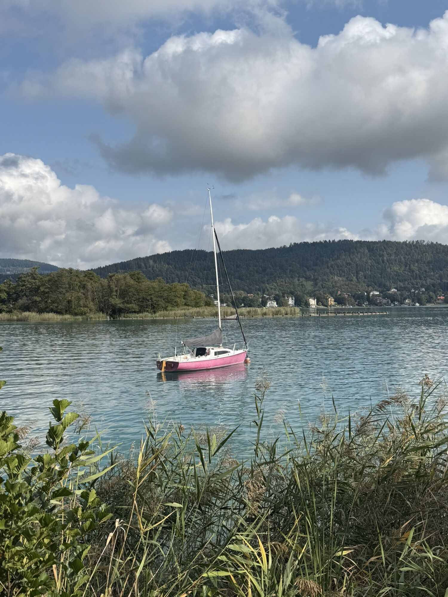
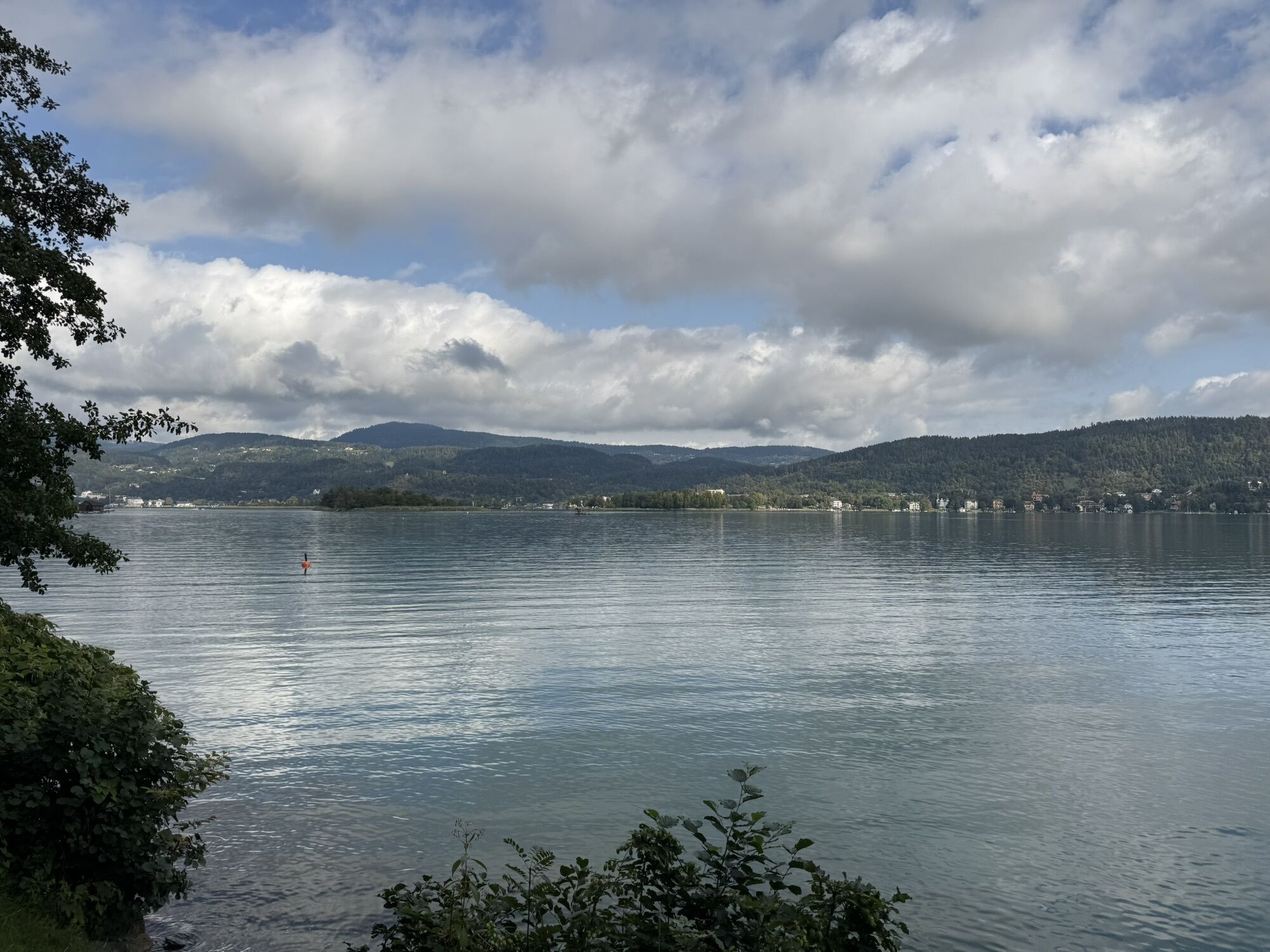
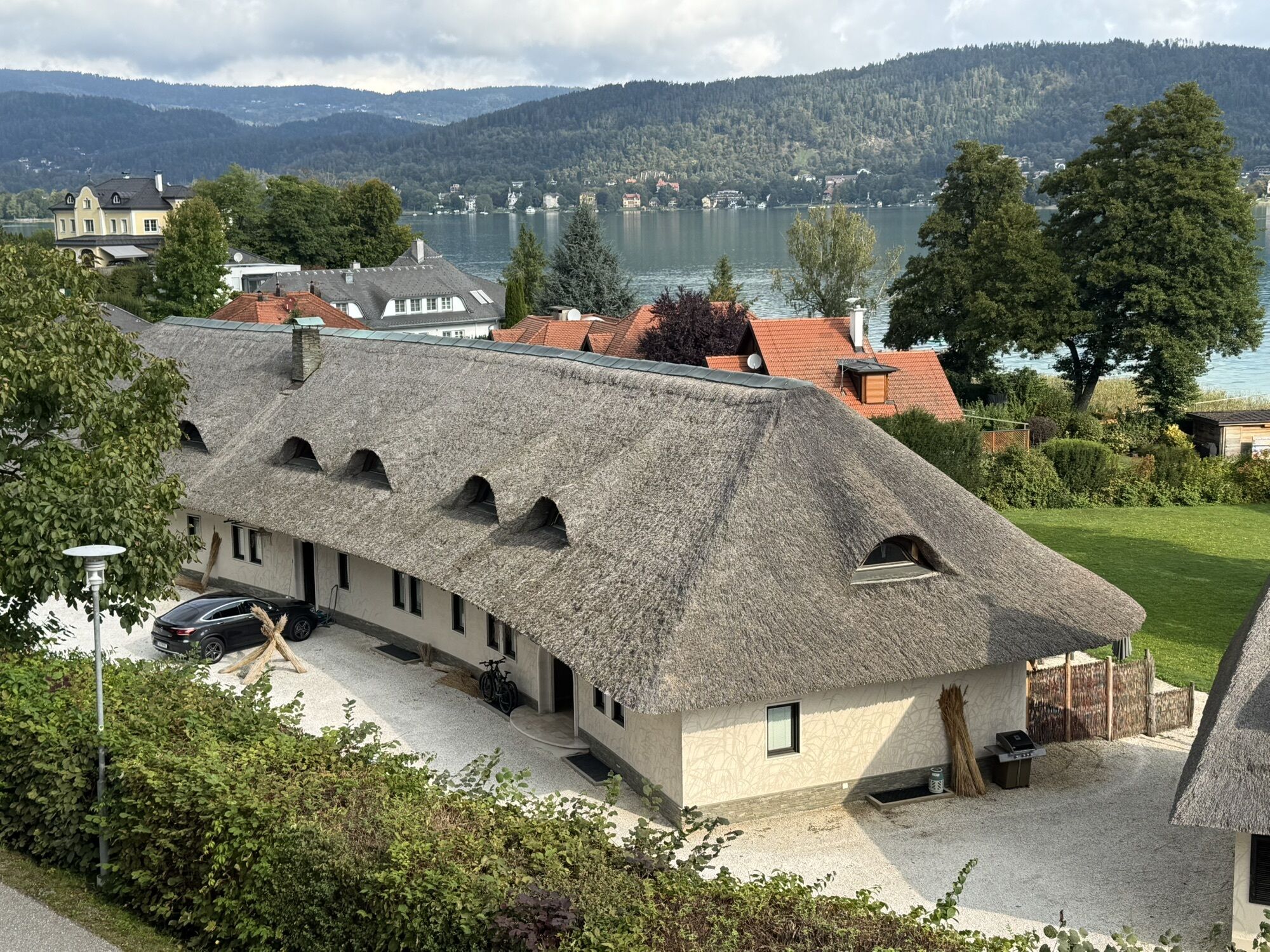
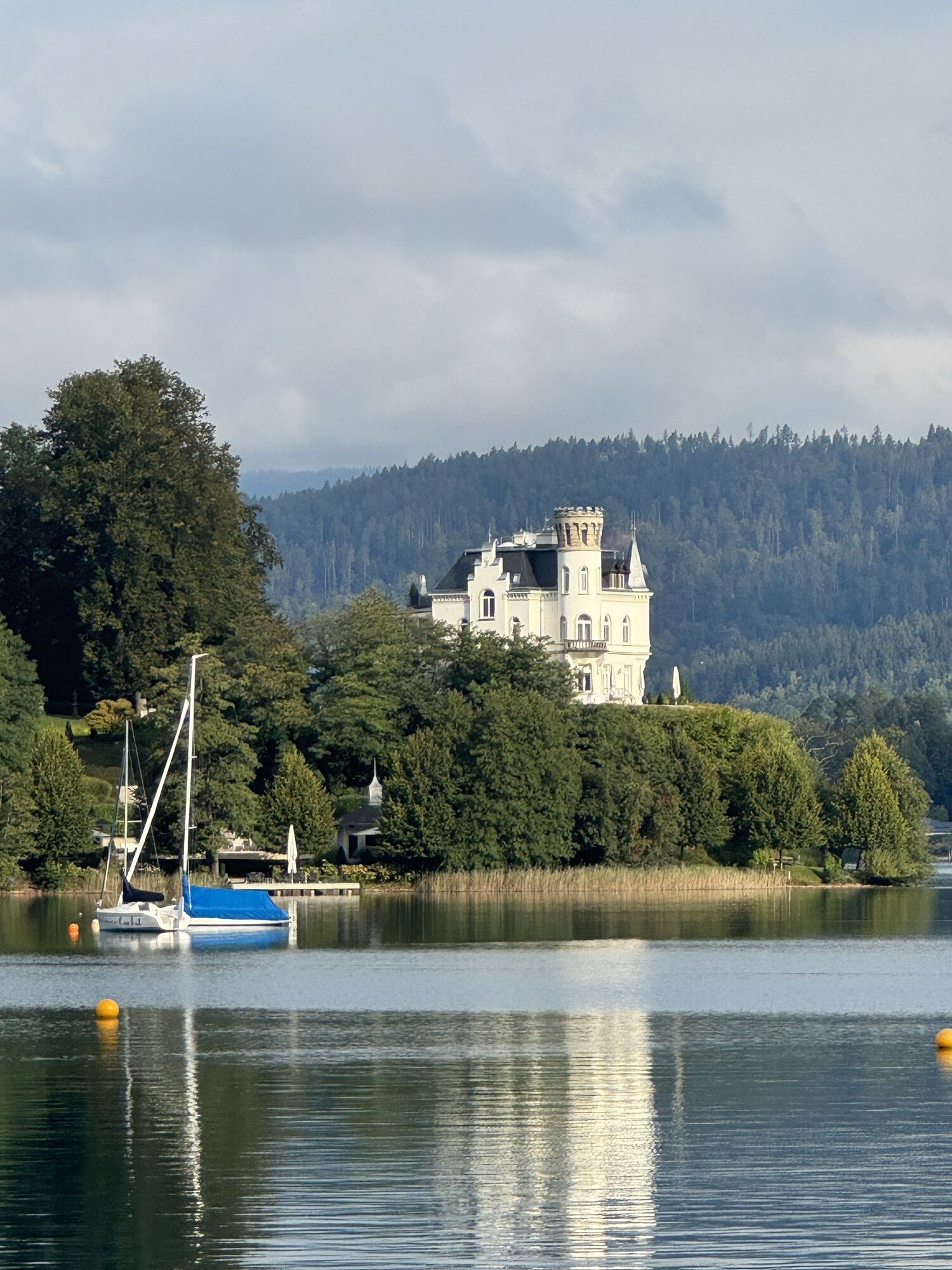
The Karawanken Loop is the ultimate road bike route for anyone looking to spend a long day in the saddle. Starting in Klagenfurt am Wörthersee, you’ll ride along the southern shore of Lake Wörthersee,...
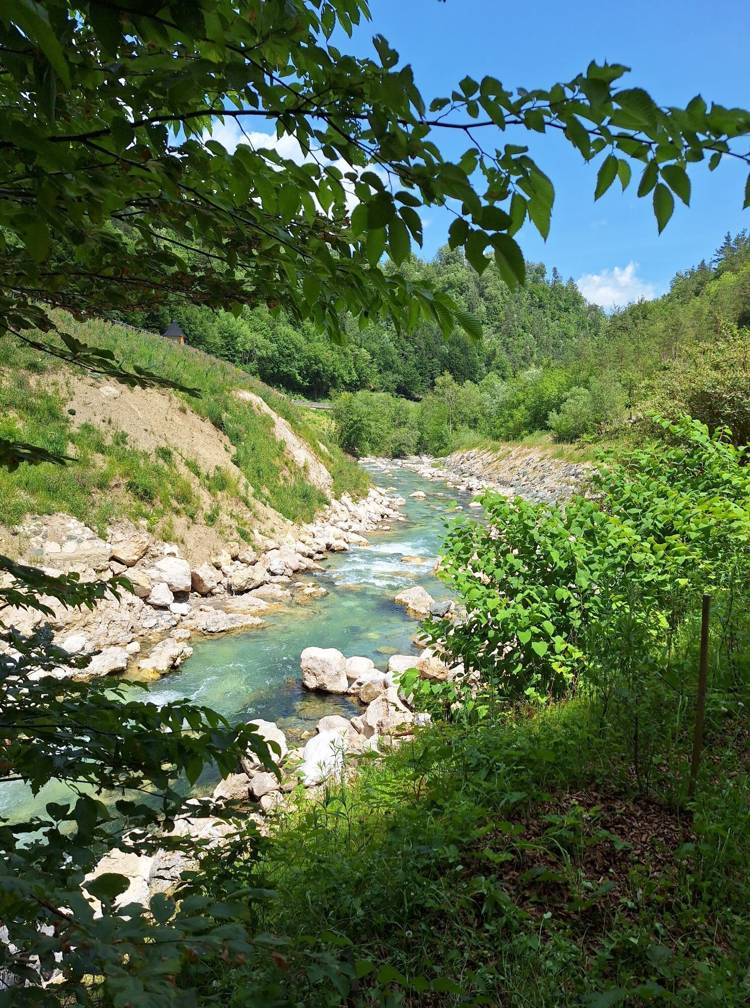
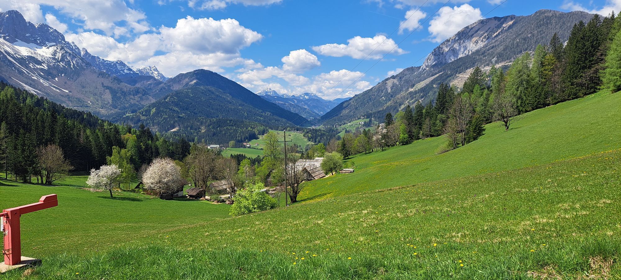
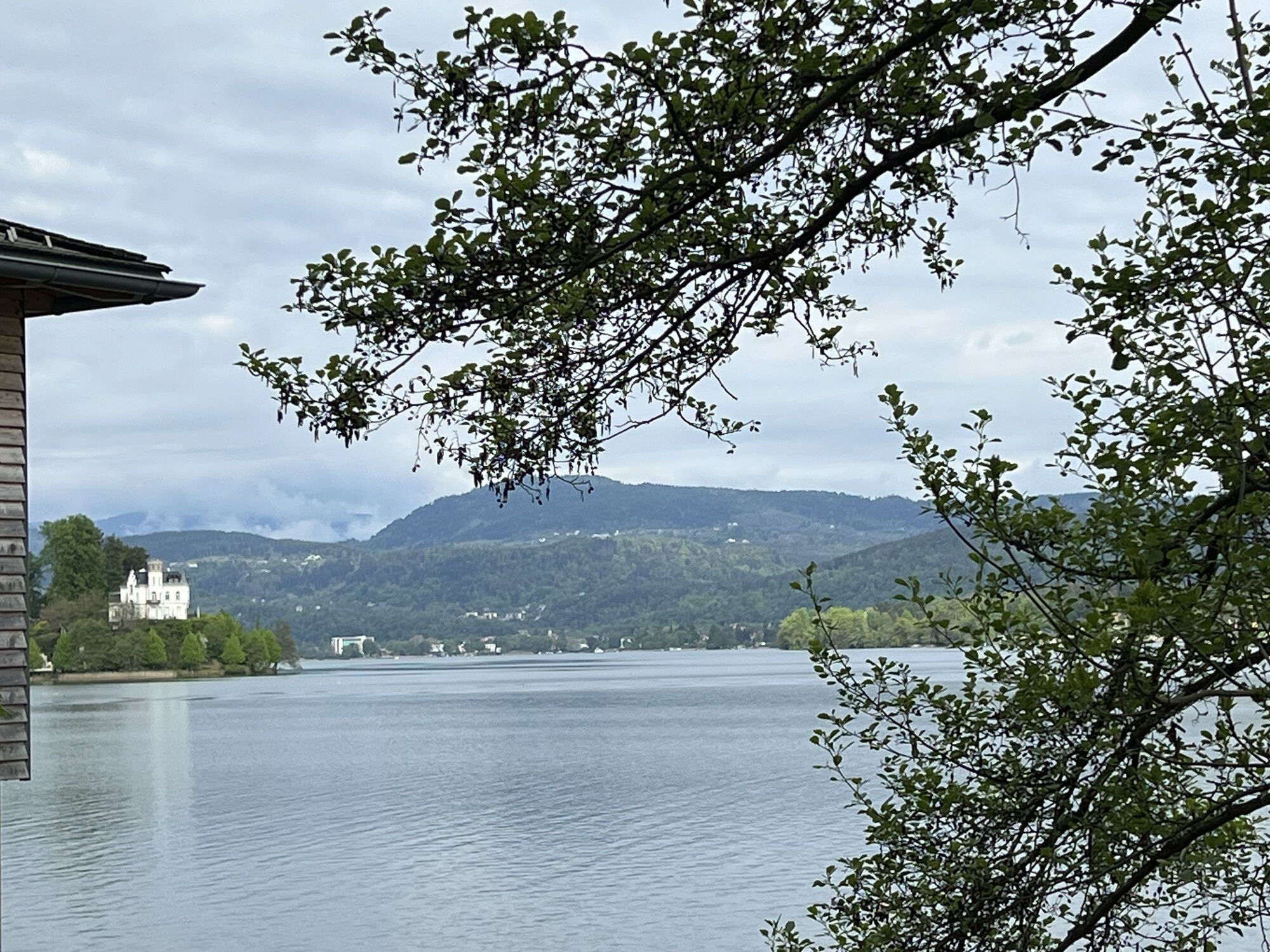
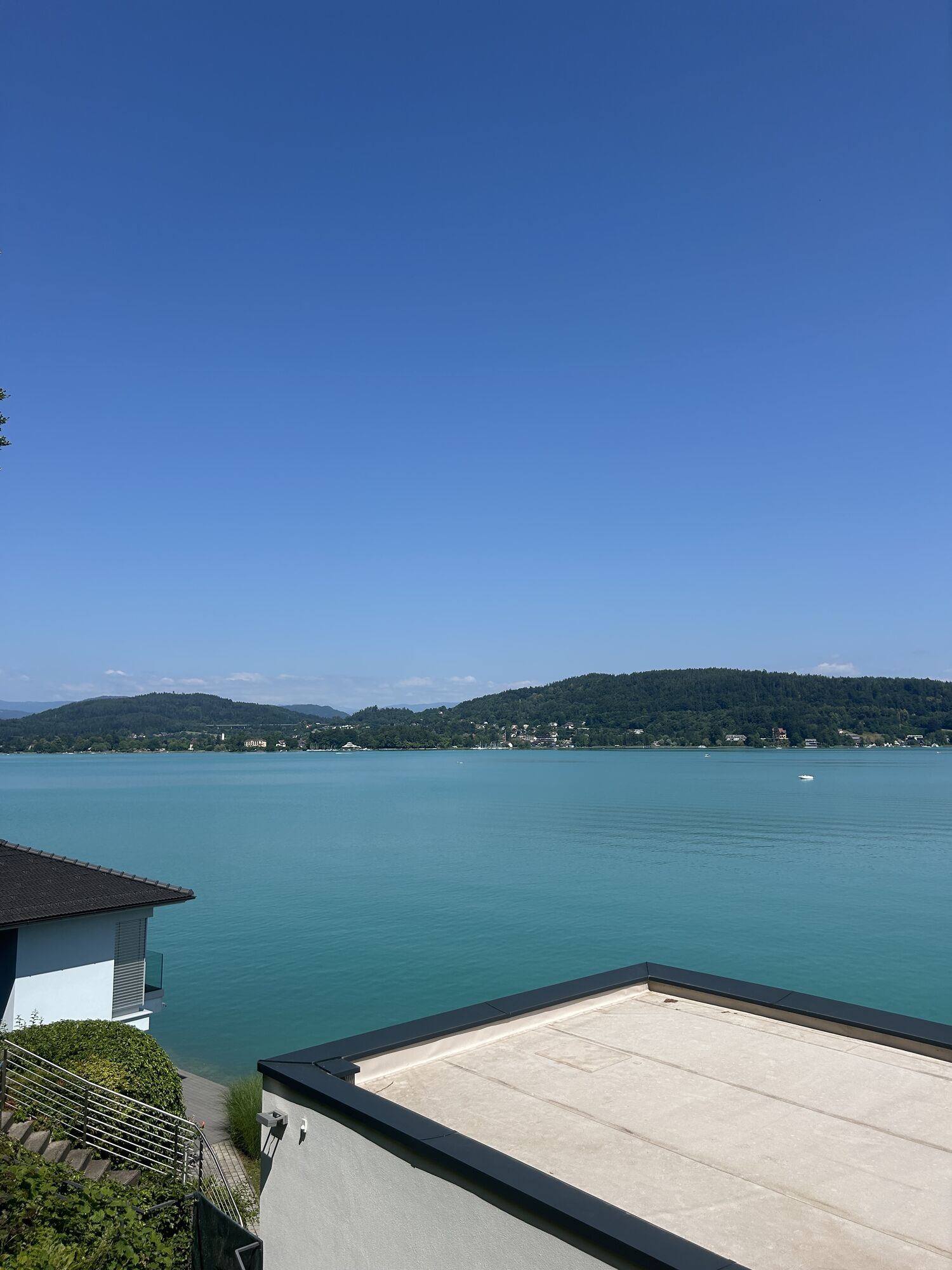
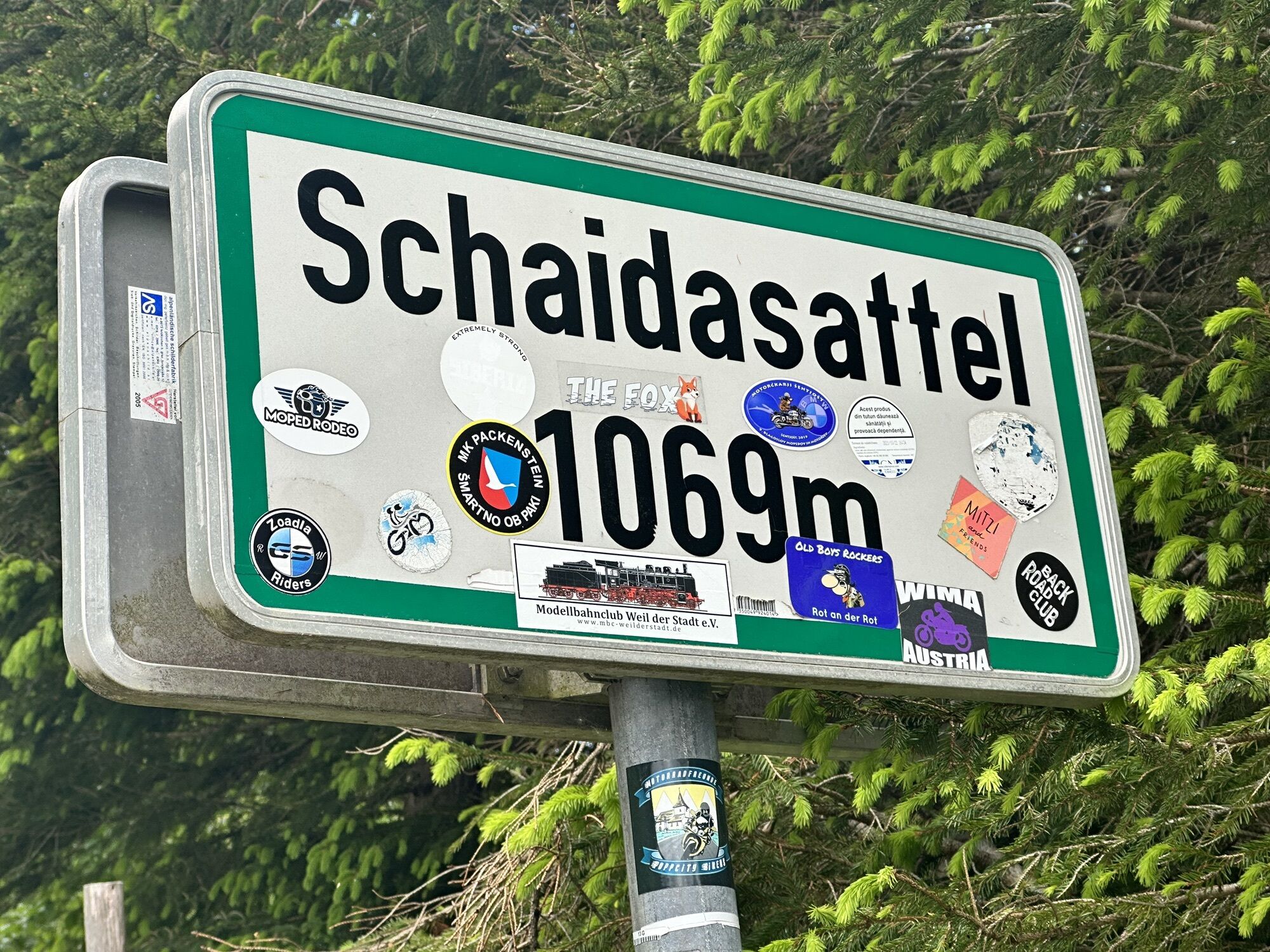
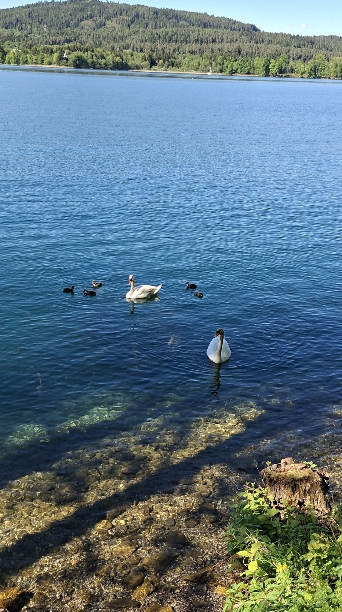
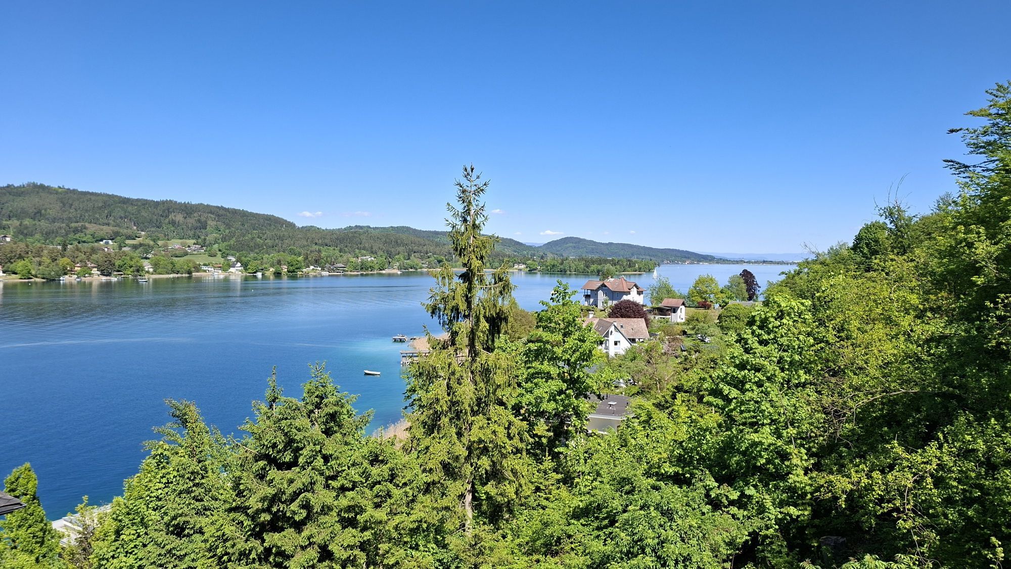
The Karawanken Loop is the ultimate road bike route for anyone looking to spend a long day in the saddle. Starting in Klagenfurt am Wörthersee, you’ll ride along the southern shore of Lake Wörthersee, finding your rhythm at a leisurely pace before the route turns south into the Rosental valley toward Ferlach. From Ferlach, the terrain becomes more challenging: the long climb to the Schaidasattel is the key athletic challenge. The reward comes in the form of a winding descent toward Bad Eisenkappel against an alpine backdrop. Afterward, the smooth section along the Vellach River leads back into the Klagenfurt Basin. Two culinary stops—Restaurant Kovač after the descent and Restaurant Hambrusch just before Klagenfurt am Wörthersee—round out the tour. After about 133 kilometers, the loop comes full circle back in Klagenfurt am Wörthersee: a varied tour for well-trained riders that combines exercise and enjoyment.

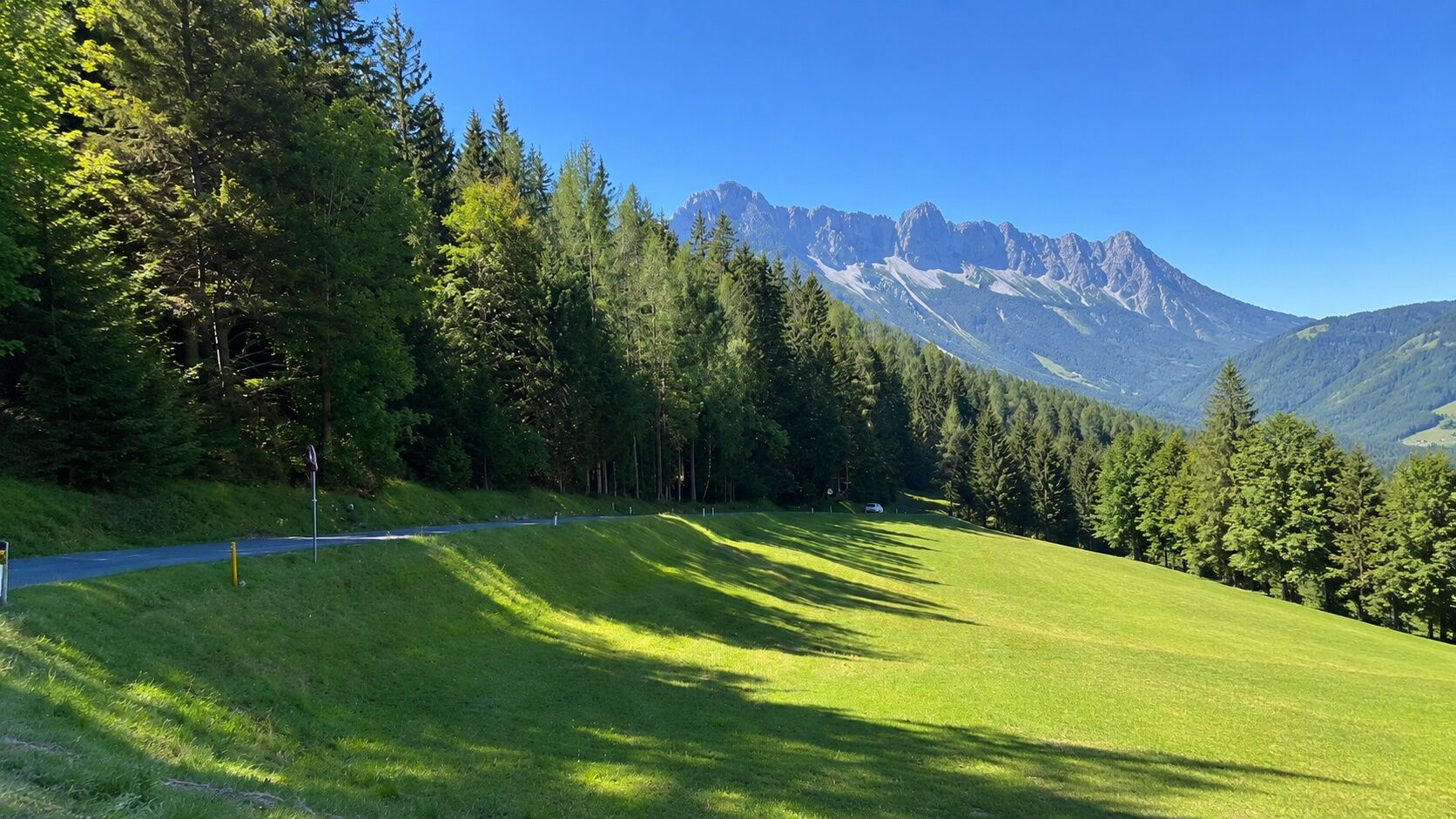
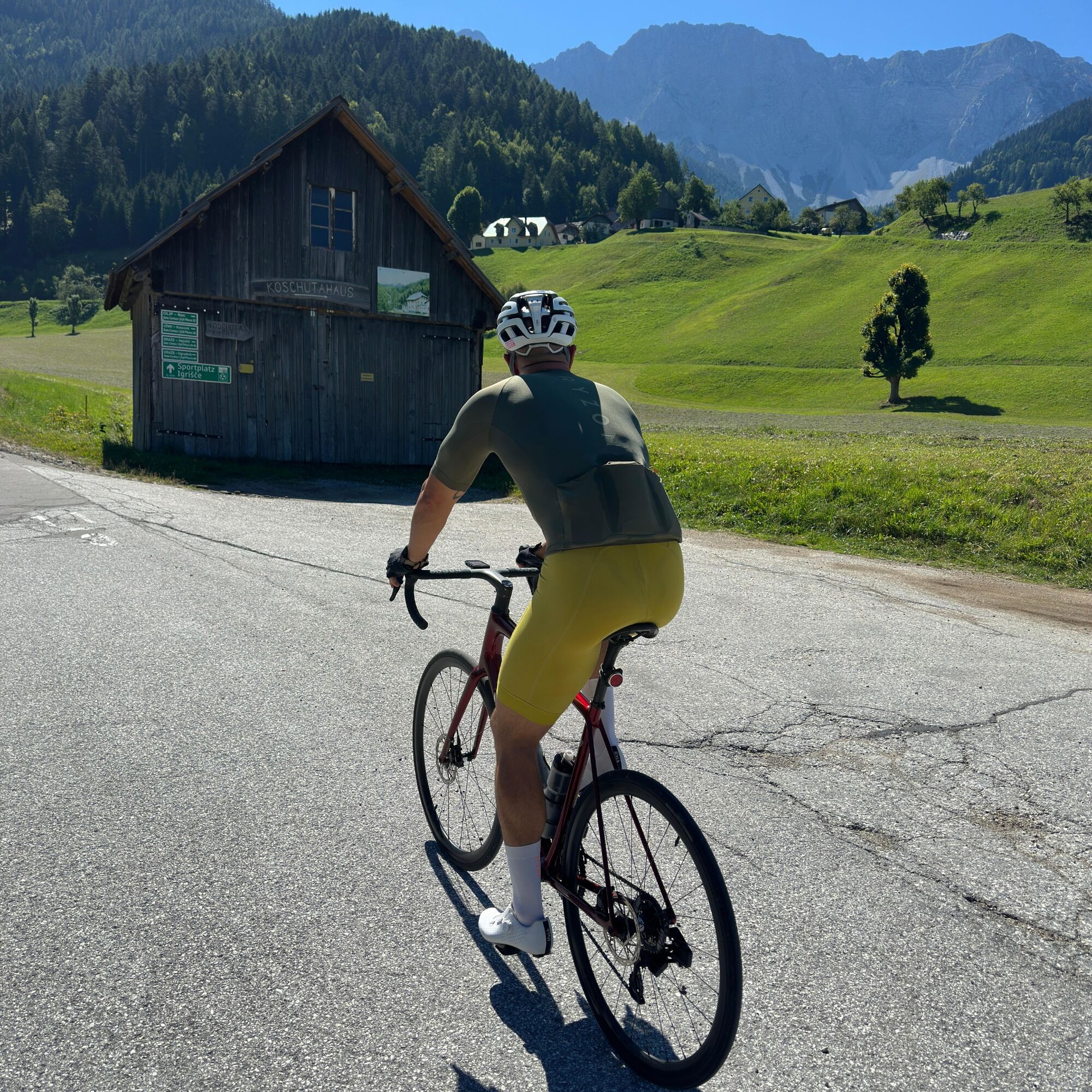
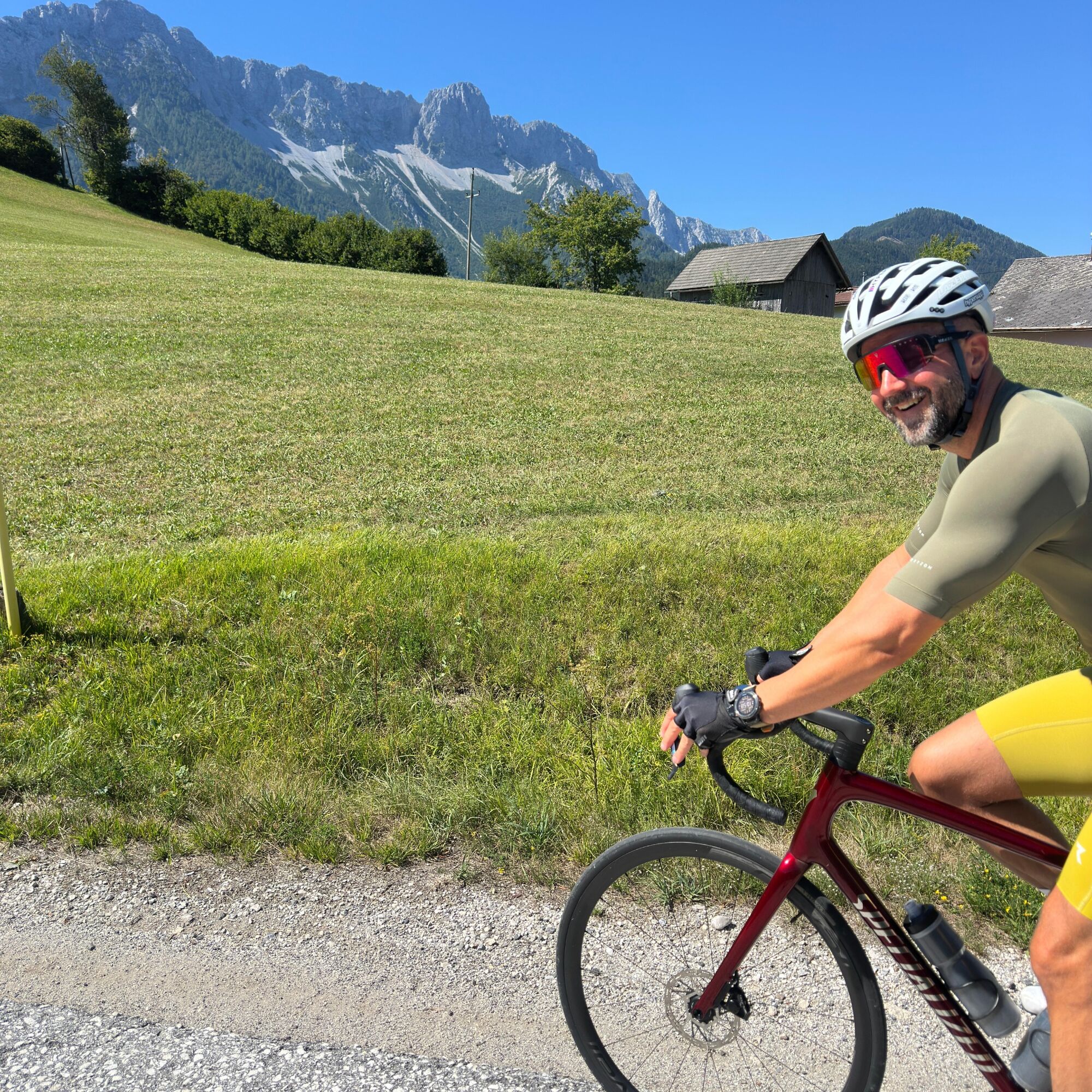
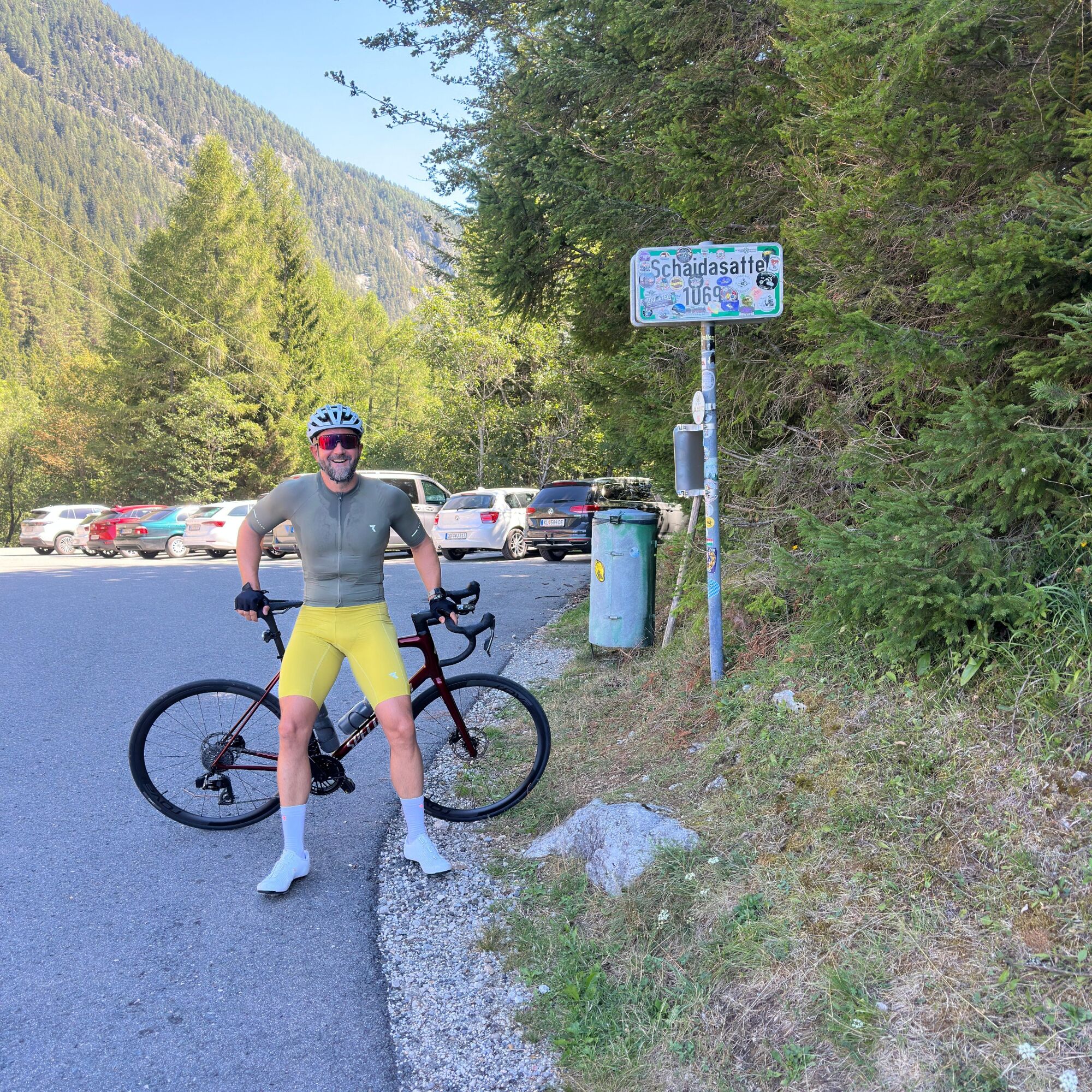
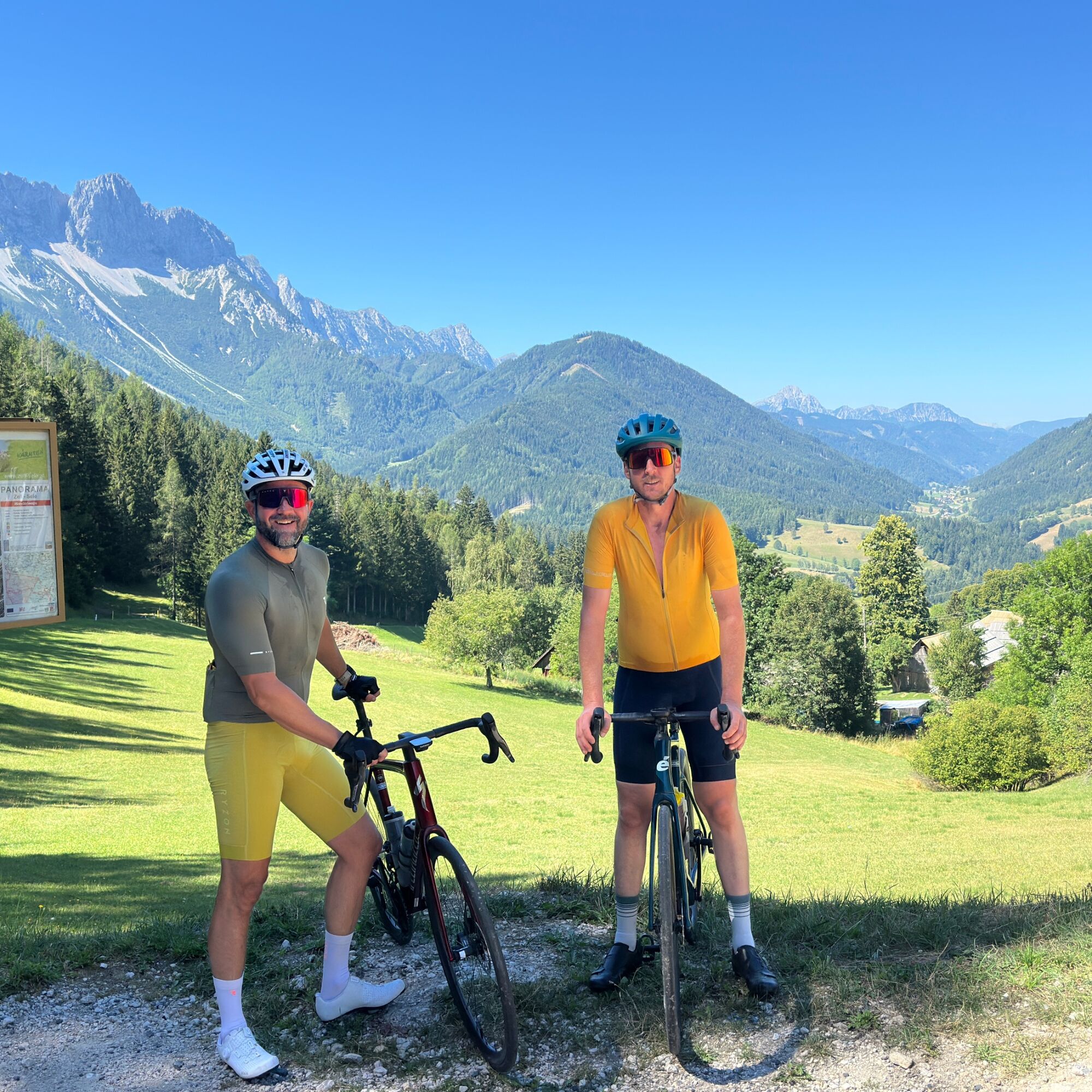
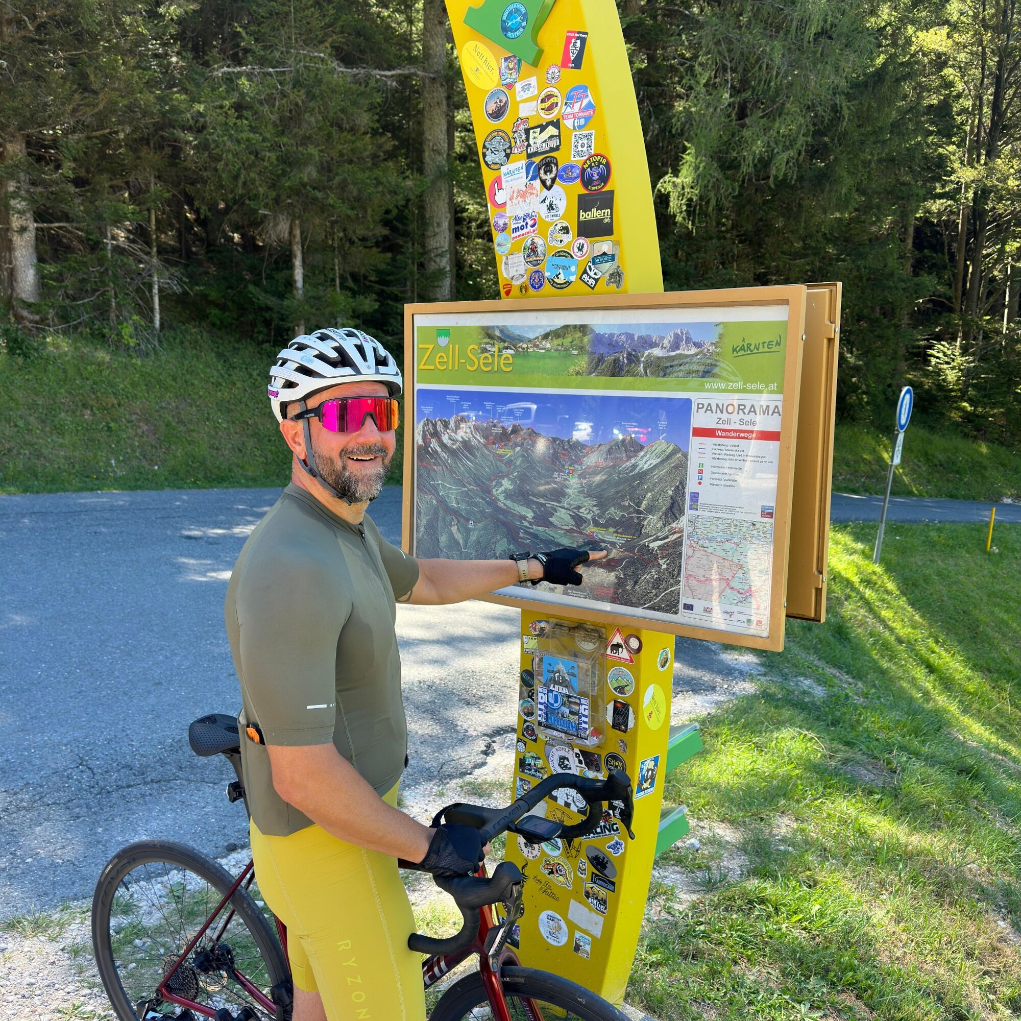
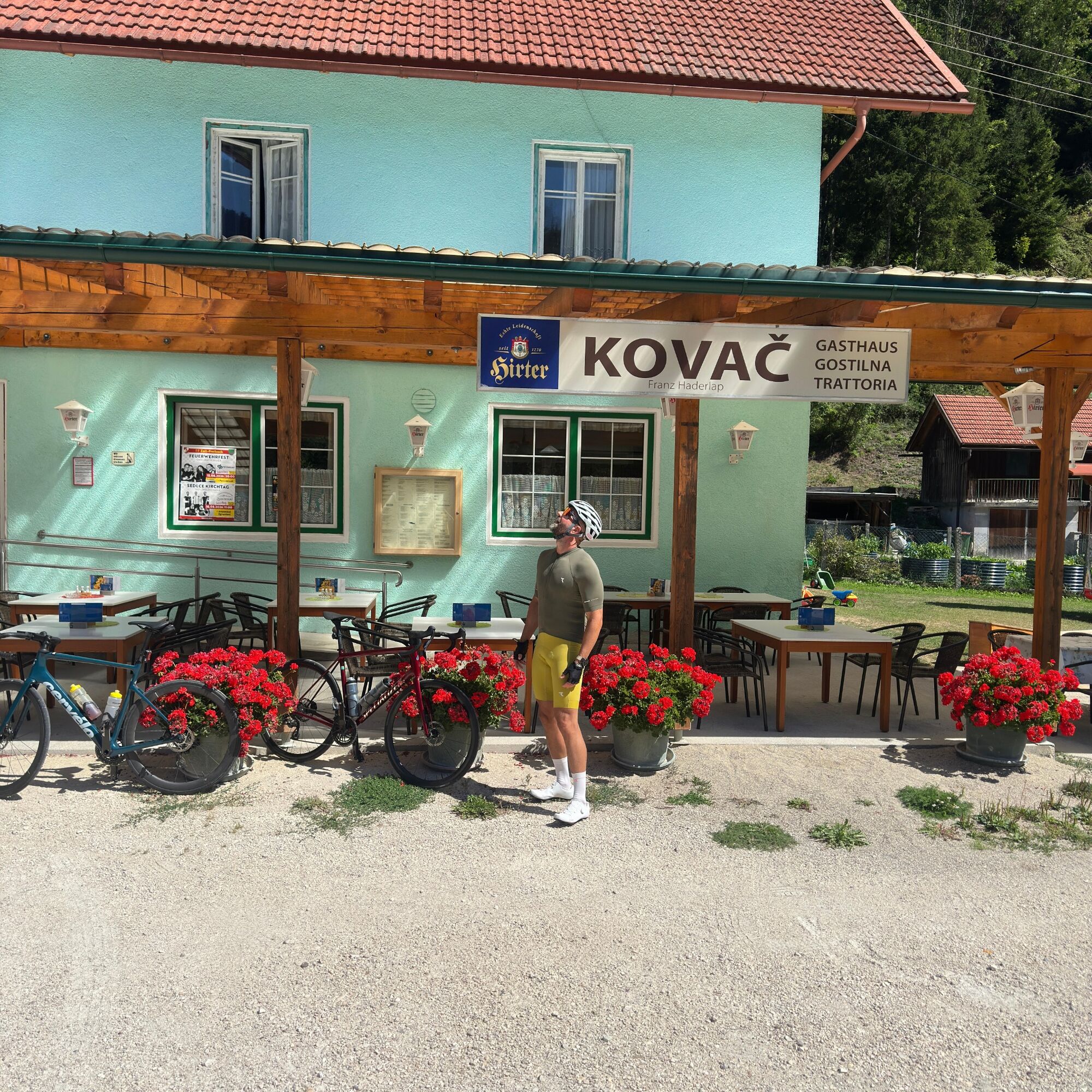
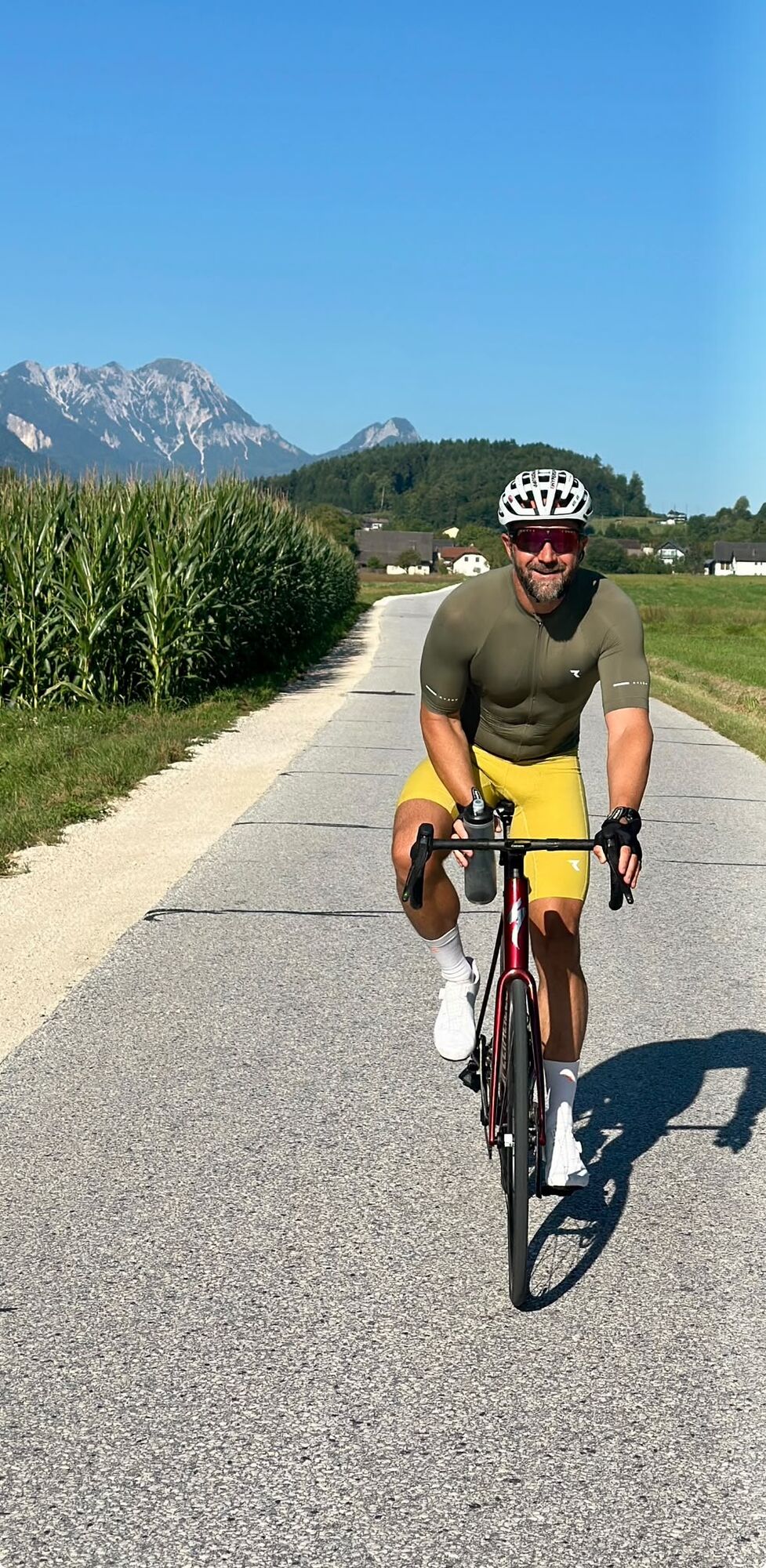
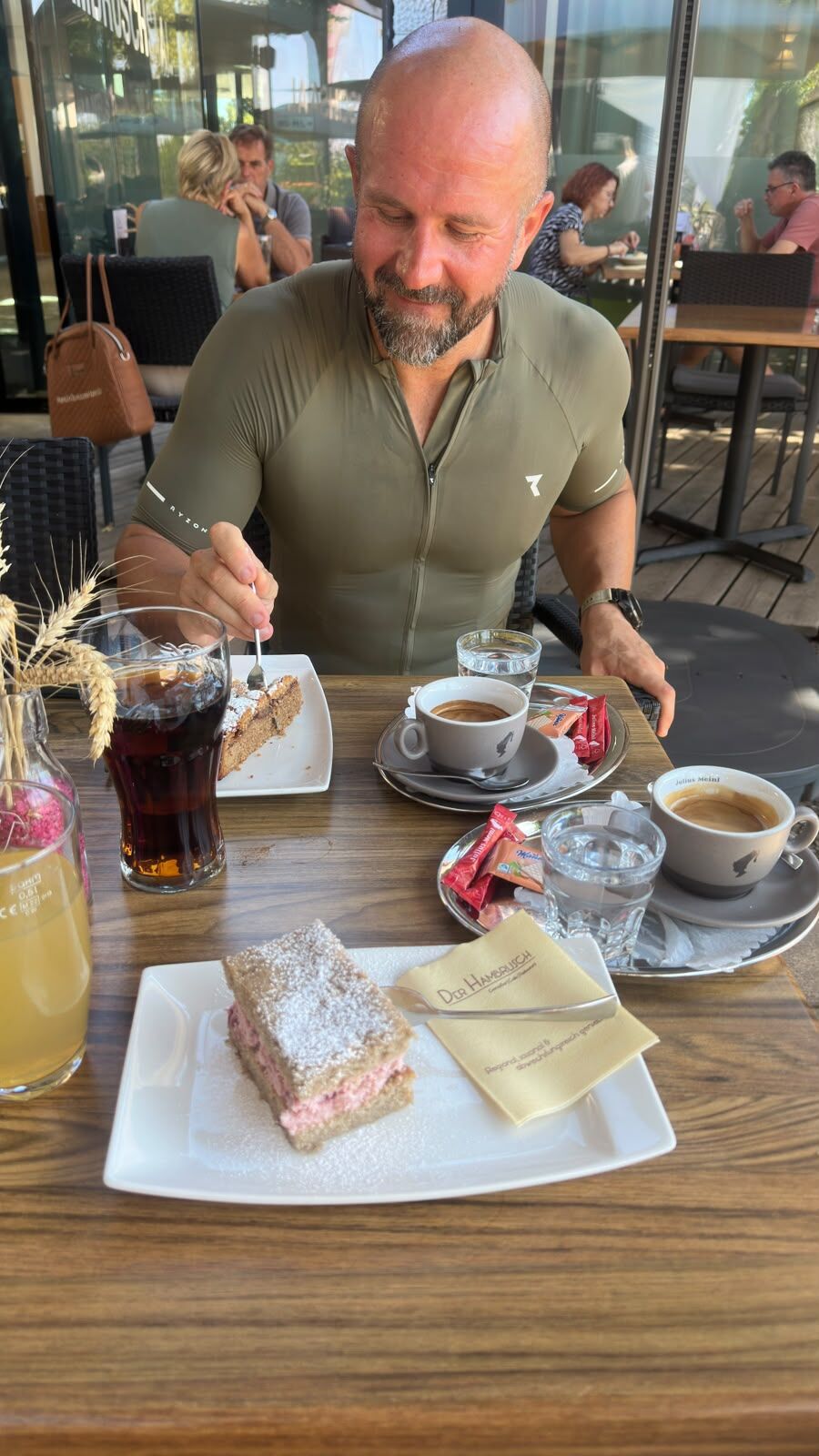
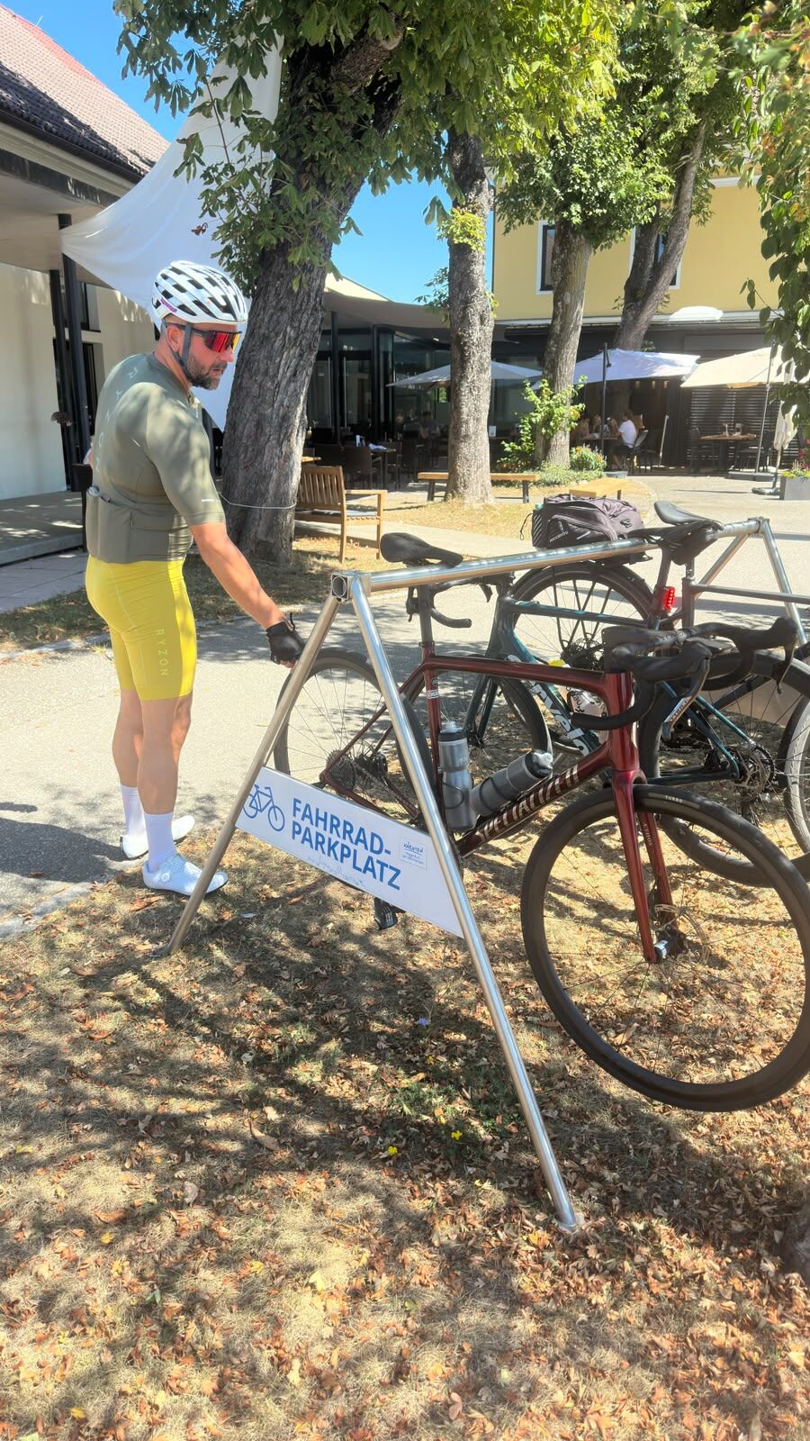
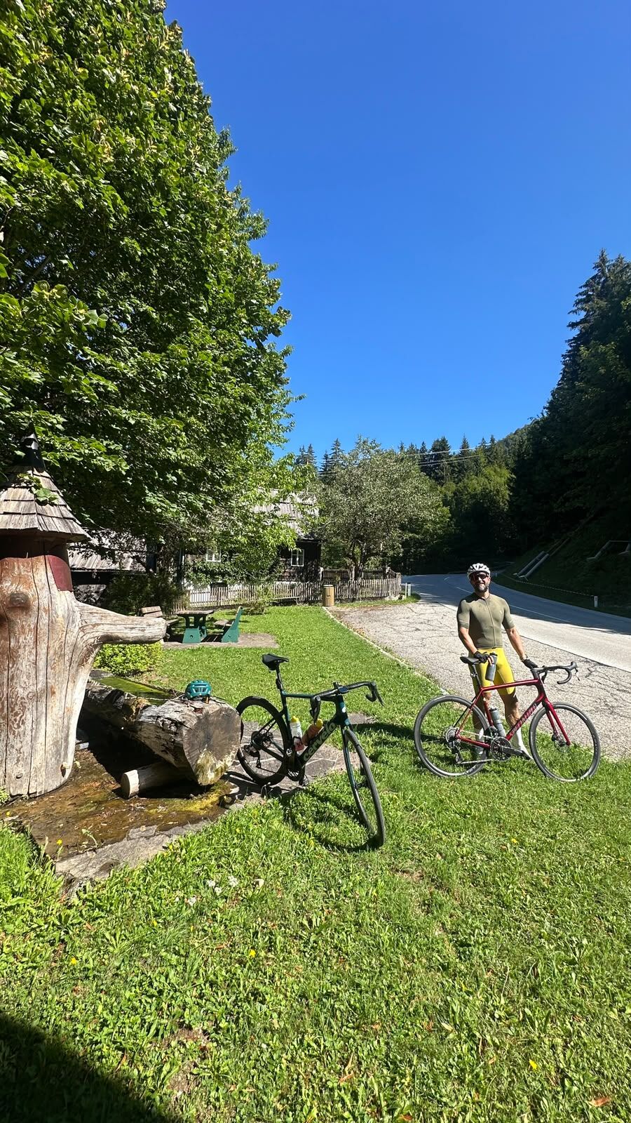
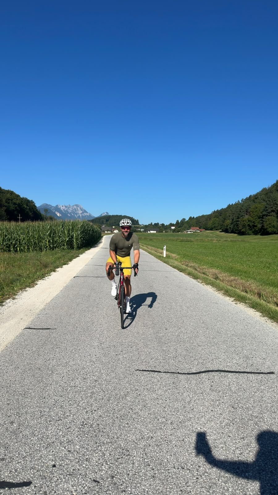
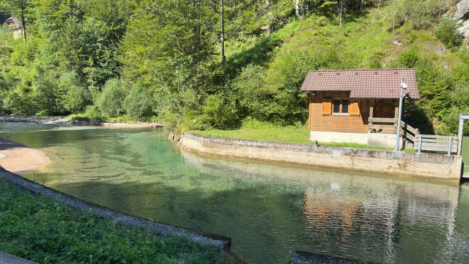

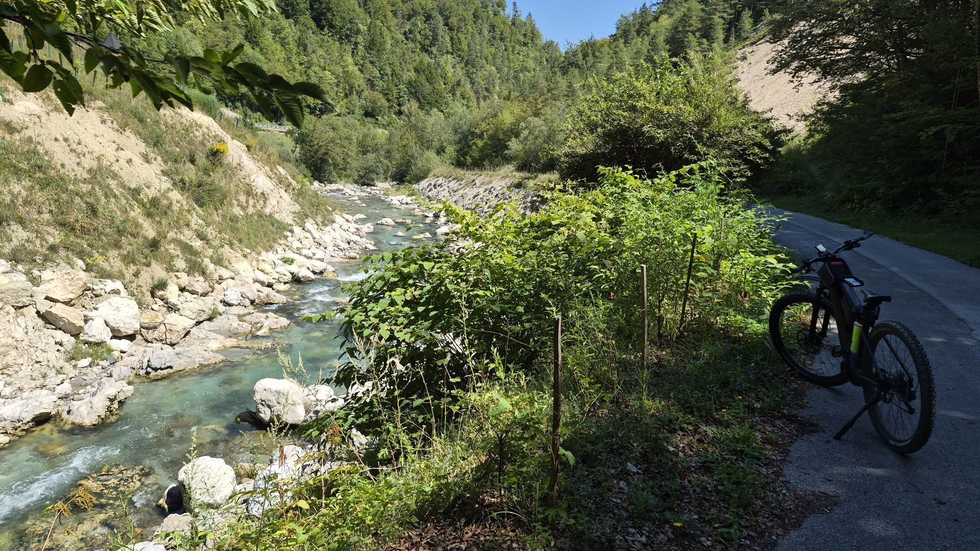
The route starts in Klagenfurt am Wörthersee. You’ll ease into the ride over the first few kilometers along the southern shore of Lake Wörthersee. The route then turns south into the Rosental valley. You’ll head toward Ferlach on roads that are easy to ride on. From Ferlach, the longest climb of the loop begins. The route ascends for several kilometers to the Schaidasattel. This is followed by a winding descent toward Bad Eisenkappel. From Bad Eisenkappel, the route follows the bike path northward, running parallel to the Vellach River. This section is winding and easy to ride. Just before Klagenfurt am Wörthersee, the Hambrusch Restaurant invites you to stop for one last break. The final 15 kilometers or so are flat as you ride back to the starting point. After about 133 km, the loop ends back in Klagenfurt am Wörthersee.
Da
You'll have plenty to drink along the way:
There are several water fountains along the route where you can refill your bottles. For the longer climbs, though, it's best to start with full bottles.
Use of the route is subject to compliance with the Austrian Road Traffic Regulations (StVO) and all local traffic regulations as posted.
Mageregg Castle
Minimundus
Grafenstein
Velden on Lake Wörthersee
3
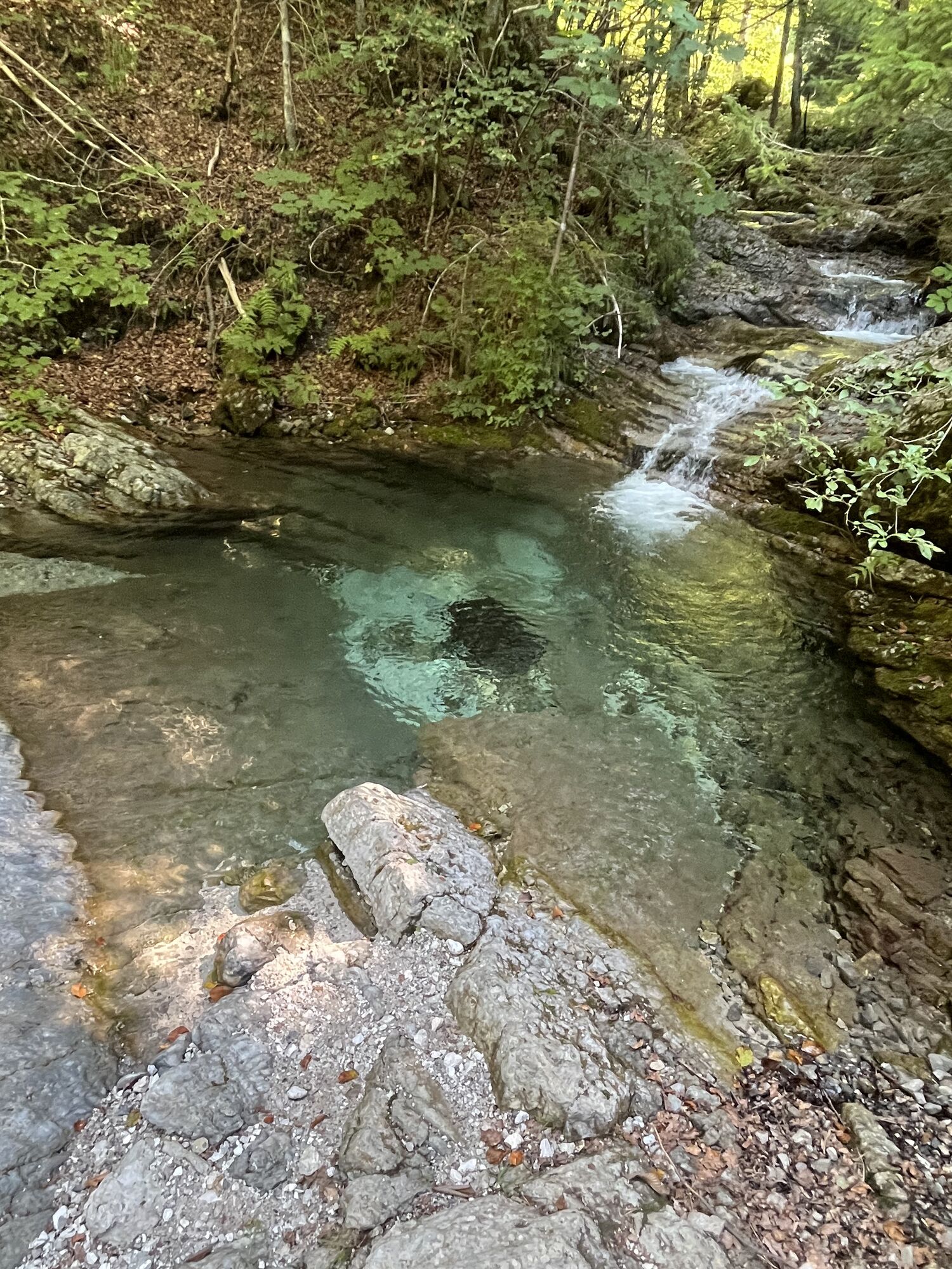
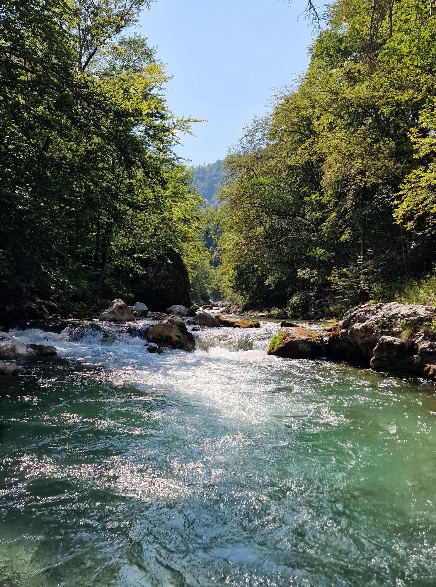
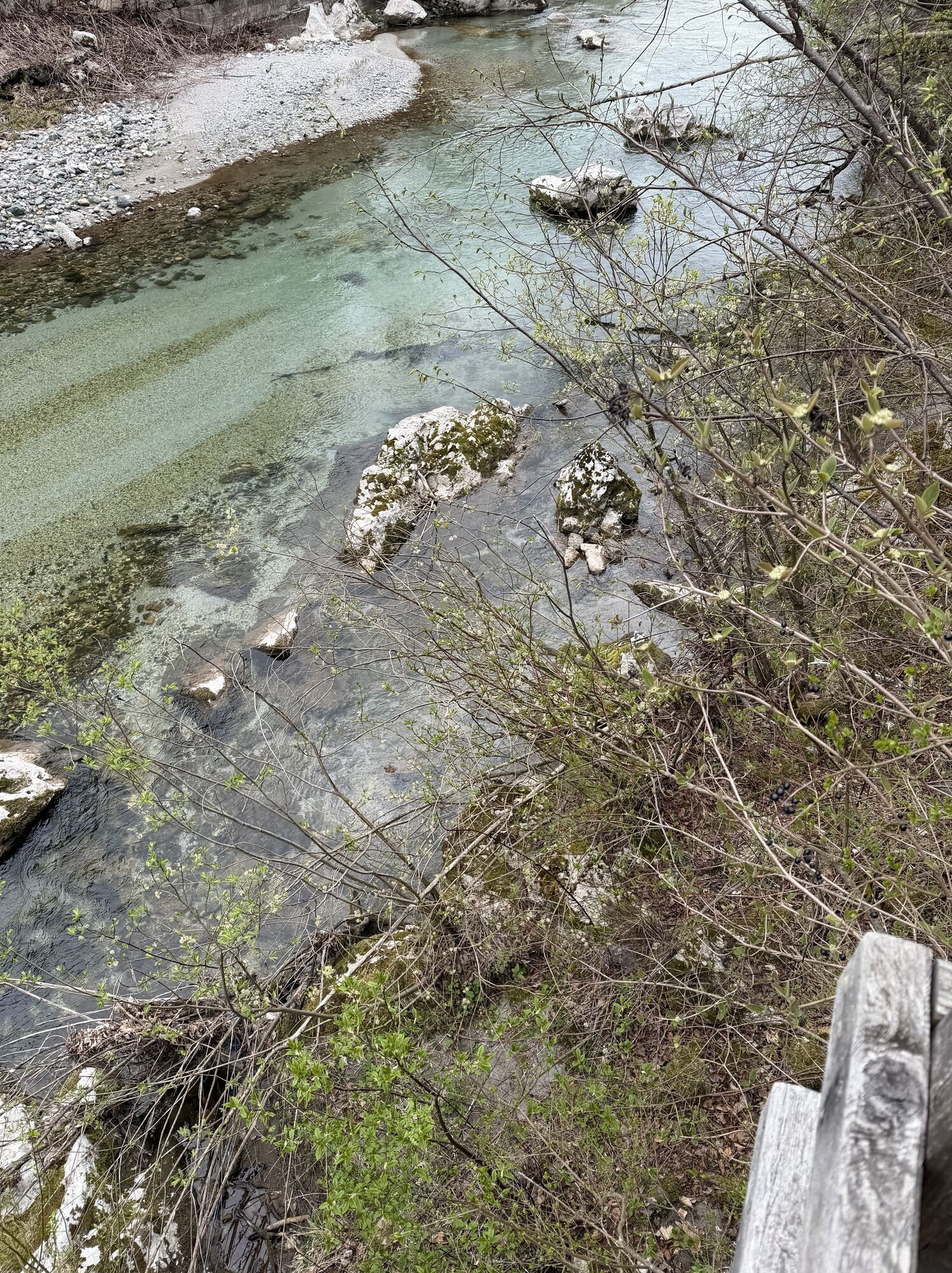
If you have a little extra time and feel like taking an additional detour, don’t miss the Trögerner Klamm. This impressive gorge, with its steep rock faces and clear mountain stream, offers a special experience of nature and is a worthwhile addition to the tour.
After descending from the Schaidasattel, plan a break at Restaurant KovaÄ—the fish dishes are perfect for refueling before tackling the final third of the route. Or hold off on eating until you reach the Hambrusch Restaurant. Here you’ll find not only coffee and cake, but also really good, hearty food—perfect for a substantial meal before tackling the final kilometers.
Spletne kamere s turneje
Aussichtsturm Pyramidenkogel
Parkhotel Pörtschach
Velden - Bootswerft Schmalzl
Hotel Schloss Seefels
Klagenfurt am Wörthersee / Neuer Platz
Wörthersee / Saag
Klagenfurt am Wörthersee
Golfpark Klopeiner See - Südkärnten
Strandbad Klagenfurt
Bad Eisenkappel
Klagenfurt, St. Peter
Ludmannsdorf/Bilcovs - Gasthof Ogris
Schloss Loretto
Aussichtsturm Pyramidenkogel
Velden - Barry Memle
Velden - Barry Memle
Obir Tropfsteinhöhle
Klagenfurt am Wörthersee - Domplatz
Köttmannsdorf - Plöschenberg
Radsberg
Turnersee - Ilsenhof
Jilly Beach
Velden Kurpark / Karawankenplatz
Strandpark Velden
Ferlach
Hotel Post Wrann
Turnersee
Pörtschach Süd
Klagenfurt Sternwarte
Falkensteiner Schlosshotel Velden
Waidischer Straße
Observation Tower - Pyramidenkogel
Strandbad Klagenfurt
Werzers Hotel Resort
Kathreinkogel - Schiefling am Wörthersee
Turnersee
Kitzelberg - Klopeiner See
Pridobite vpogled Vedno v živo na mestu z več kot 9.500 spletnimi kamerami. bergfex Kot uporabnik Pro si lahko zdaj ogledate ustrezne spletne kamere za številne izlete v aplikaciji izleti iz. Tako si lahko neposredno ogledate trenutne razmere. Priljubljeni izleti v okolici
- 4.6
Bad Eisenkappel: Hochobir
Pohodništvo 5.50 km - 4.5
Slow Trail Kitzelberg, Klopeiner See
srednjaPohodništvo 6.82 km - 4.9
Koschlak Klettersteig BC, D
srednjaVia ferrata 2.60 km - 4.9
Eisenkappler Hütte - Hochobir
srednjaPohodništvo 8.86 km - 4.4
Wandertour Hochobir / Zell
srednjaPohodništvo 5.76 km - 4.3
Klopeiner See route: "Promenade round"
svetlobaPohodništvo 5.27 km - 4.2
Kolesarska tura po 6 jezerih na južnem Koroškem
srednjaKolesarjenje 53.8 km - 4.6
Vom Seebergsattel auf den Kärntner Storschitz (Rundweg)
težkoPohodništvo 8.30 km - 3.9
Upper Petzen circular route
srednjaPohodništvo 7.30 km - 4.3
Rundweg Schaidasattel - Hochobir
srednjaPohodništvo 16.0 km
Pohodništvo in sledenje


Ne zamudite ponudb in navdiha za naslednje počitnice
Vaš e-poštni naslov je bil dodan na poštni seznam.





