


Nockalmrunde – Treffling variant, Obermillstatt | nock/bike
Fotografije naših uporabnikov
-
 © Michael ForstnerUstvarjeno na 27.02.2026
 -
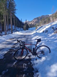
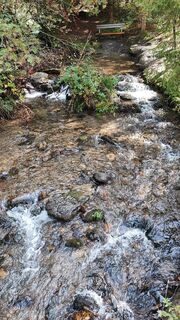
 © Michael KainbergerUstvarjeno na 18.05.2025
 -
 © Michael KainbergerUstvarjeno na 18.05.2025
 -
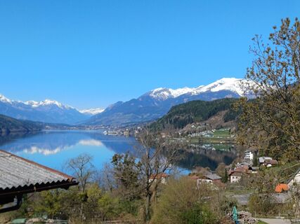
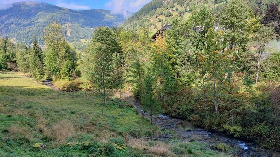
 © Ralf77Ustvarjeno na 11.04.2025
 -
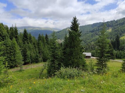
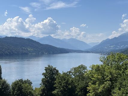 © Robert RanacherUstvarjeno na 19.07.2025
 -
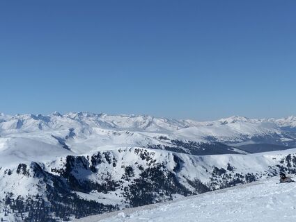
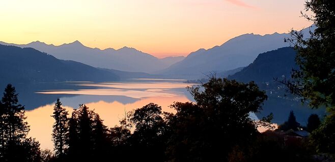 © Ralf77Ustvarjeno na 16.10.2022
 -
 © Ralf77Ustvarjeno na 16.10.2022
 -
 © Brigitte de RuijterUstvarjeno na 02.01.2026
 -

 © jakob unterlerchnerUstvarjeno na 26.12.2025
 -
 © PatrickVonGurkUstvarjeno na 20.09.2025
 -
 © PatrickVonGurkUstvarjeno na 20.09.2025
 -
 © PatrickVonGurkUstvarjeno na 20.09.2025
 -
 © PatrickVonGurkUstvarjeno na 20.09.2025
 -
 © PatrickVonGurkUstvarjeno na 20.09.2025
 -
 © Elly23Ustvarjeno na 14.09.2025
 -
 © Elly23Ustvarjeno na 14.09.2025
 -
 © Elly23Ustvarjeno na 14.09.2025
 -
 © Elly23Ustvarjeno na 14.09.2025
 -
 © Elly23Ustvarjeno na 14.09.2025
 -
 © Elly23Ustvarjeno na 14.09.2025
 -
 © Elly23Ustvarjeno na 14.09.2025
 -
 © Elly23Ustvarjeno na 14.09.2025
 -
 © Albin1958Ustvarjeno na 05.07.2025
 -
 © Angelika UnterrainerUstvarjeno na 18.02.2025
 -
 © Angelika UnterrainerUstvarjeno na 18.02.2025
 -
 © Julius GlanzerUstvarjeno na 15.01.2025
 -
 © Julius GlanzerUstvarjeno na 15.01.2025
 -

 © Arnulf MüllerUstvarjeno na 22.12.2024
 -
 © Arnulf MüllerUstvarjeno na 22.12.2024
 -
 © Arnulf MüllerUstvarjeno na 22.12.2024
 -
 © Albin1958Ustvarjeno na 22.10.2024
 -
 © Albin1958Ustvarjeno na 22.10.2024
 -
 © Albin1958Ustvarjeno na 22.10.2024
 -
 © Albin1958Ustvarjeno na 22.10.2024
 -
 © Albin1958Ustvarjeno na 22.10.2024
 -
 © Dagmar HoferUstvarjeno na 03.01.2024
 -
 © Dagmar HoferUstvarjeno na 03.01.2024
 -
 © Dagmar HoferUstvarjeno na 03.01.2024
 -
 © Dagmar HoferUstvarjeno na 03.01.2024
 -
 © Dagmar HoferUstvarjeno na 21.02.2023
 -
 © Dagmar HoferUstvarjeno na 21.02.2023
 -
 © Dagmar HoferUstvarjeno na 21.02.2023
 -
 © Dagmar HoferUstvarjeno na 21.02.2023
 -
 © Dagmar HoferUstvarjeno na 21.02.2023
 -
 © Dagmar HoferUstvarjeno na 21.02.2023
 -
 © Dagmar HoferUstvarjeno na 21.02.2023
 -
 © Dagmar HoferUstvarjeno na 21.02.2023
 -
 © Dagmar HoferUstvarjeno na 21.02.2023
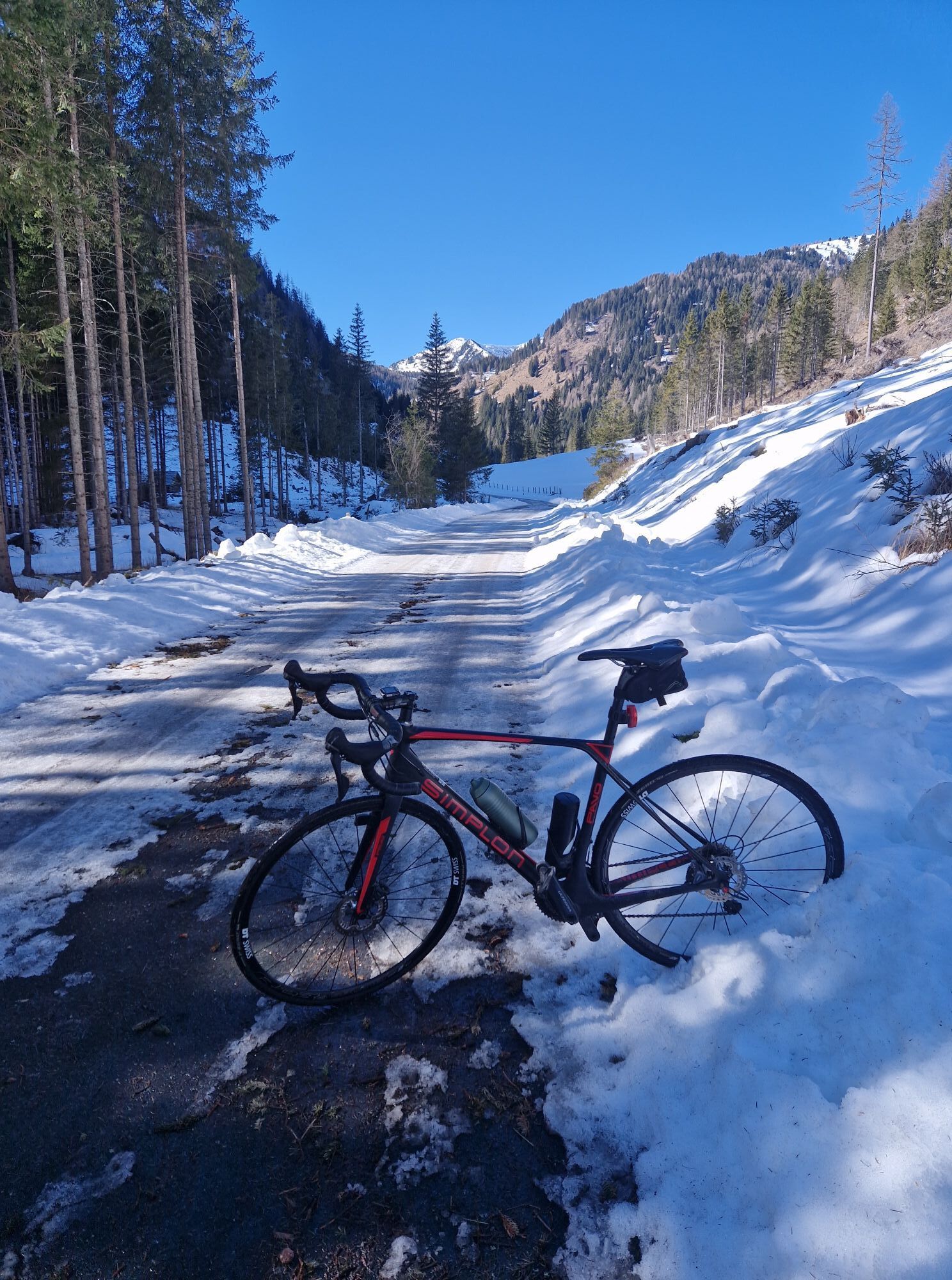

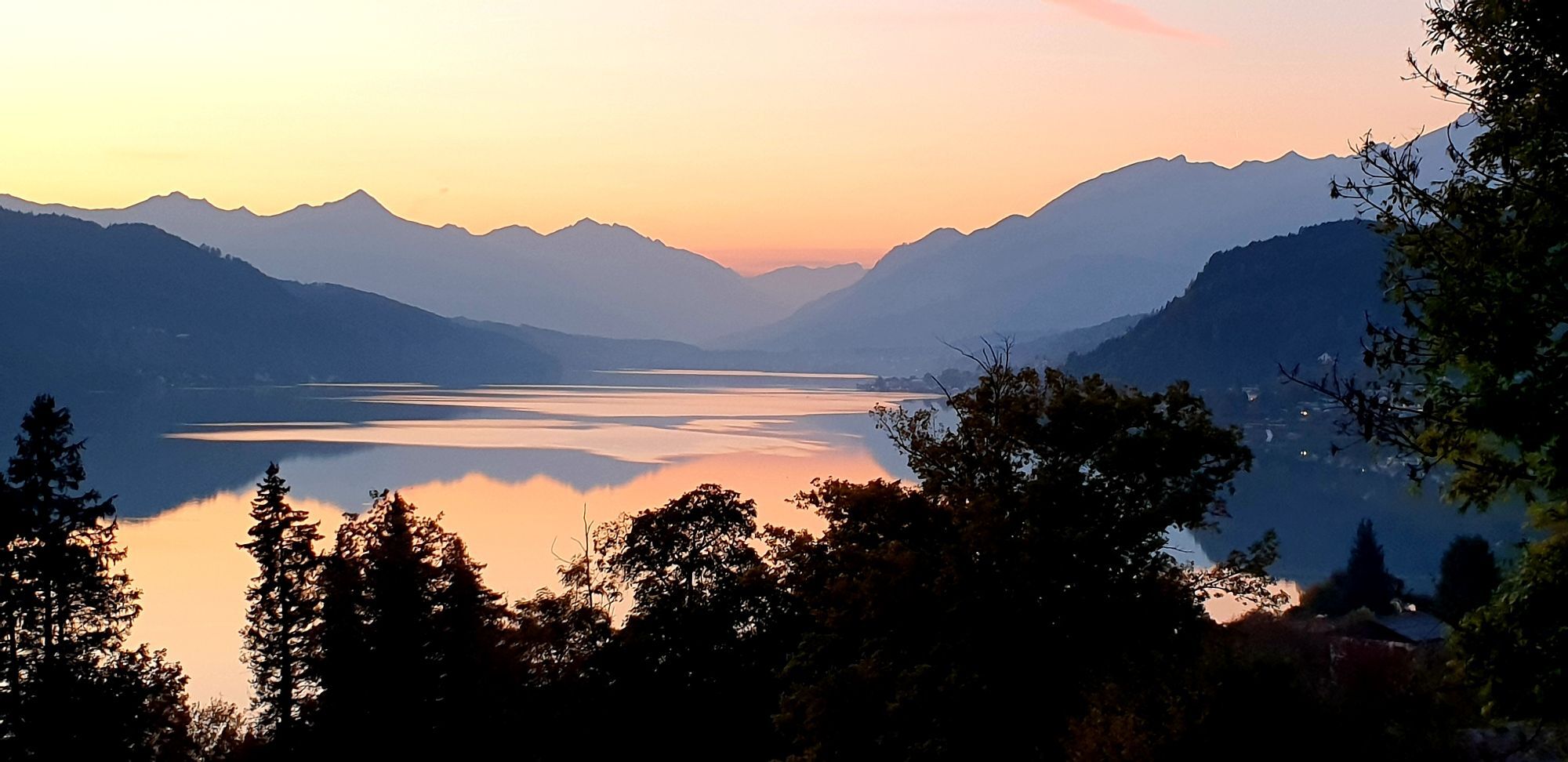
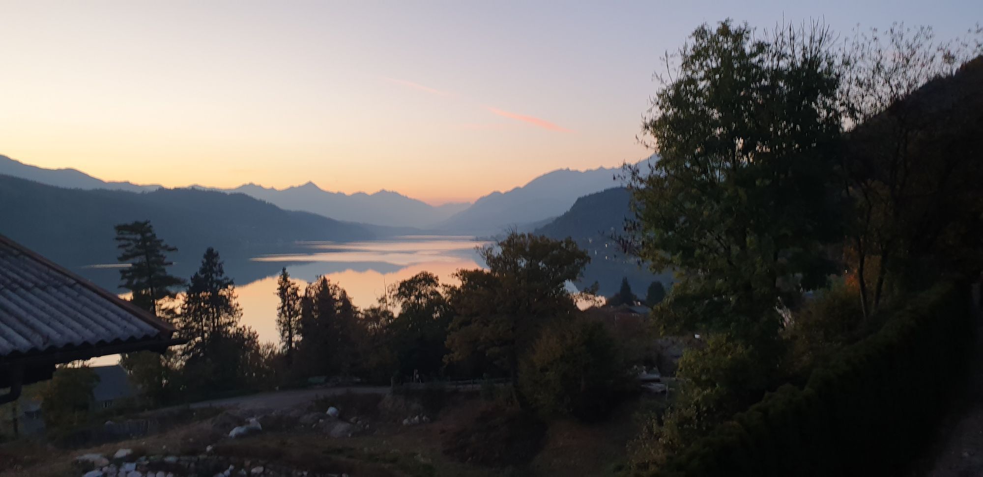

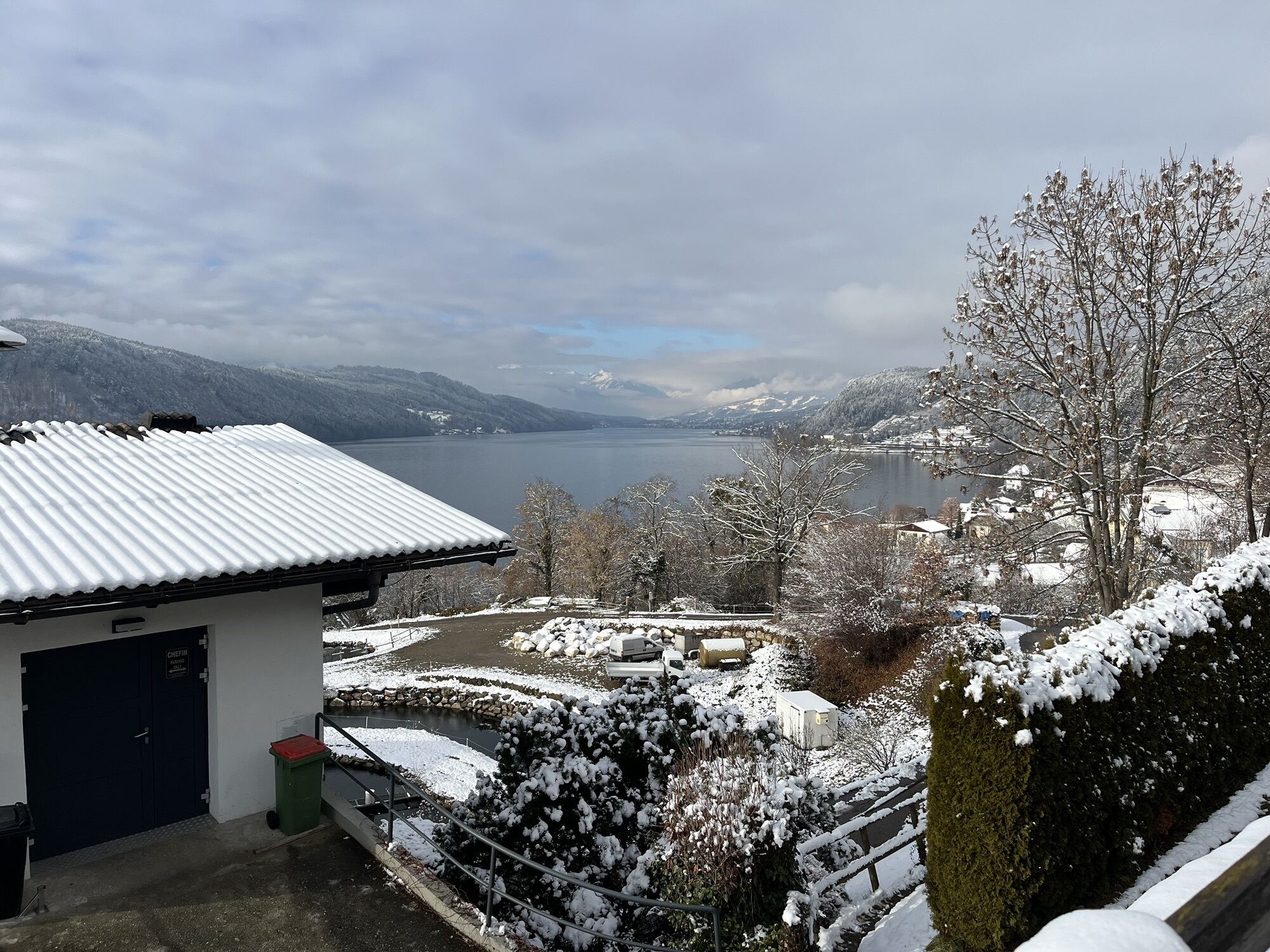

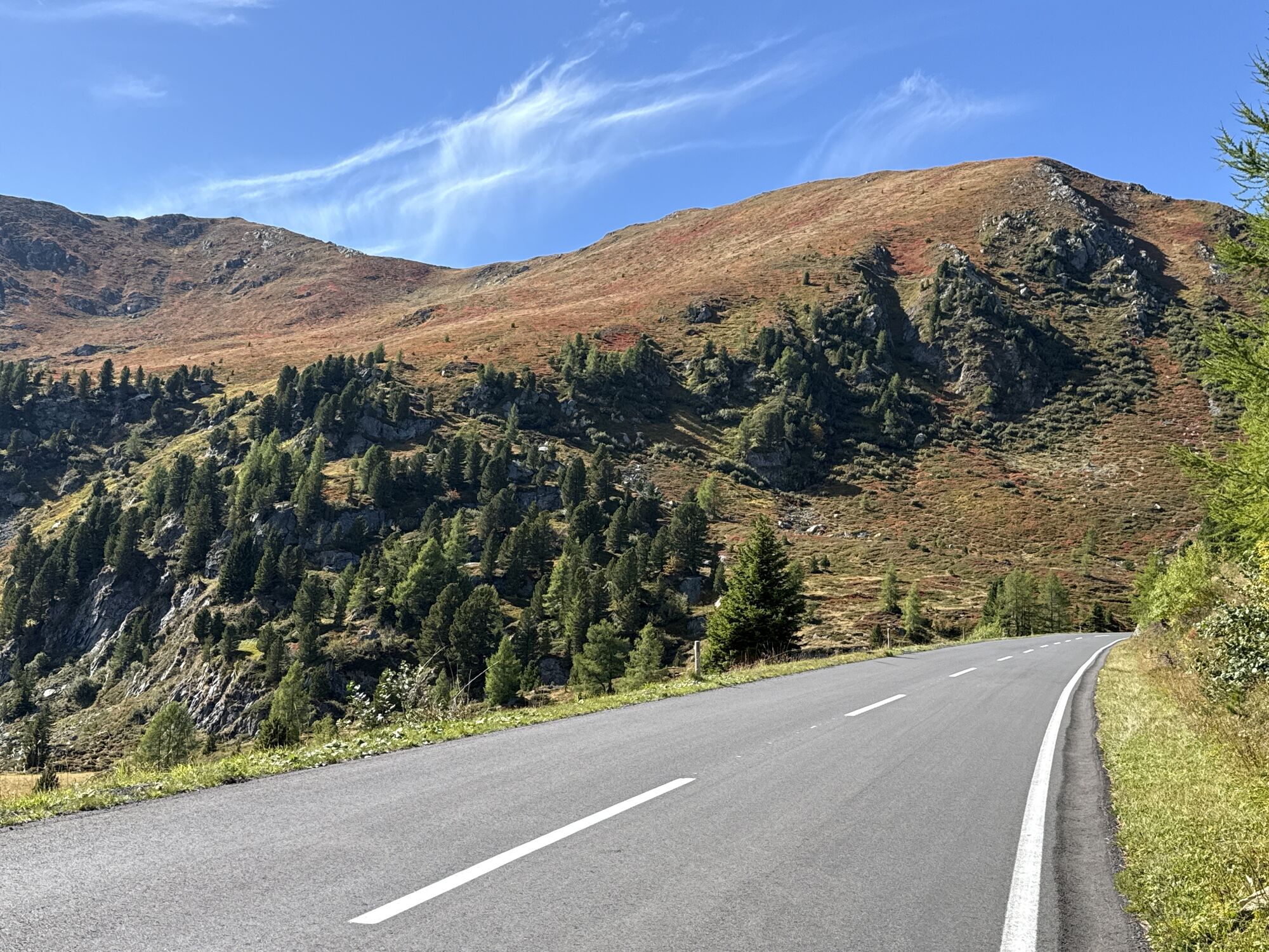
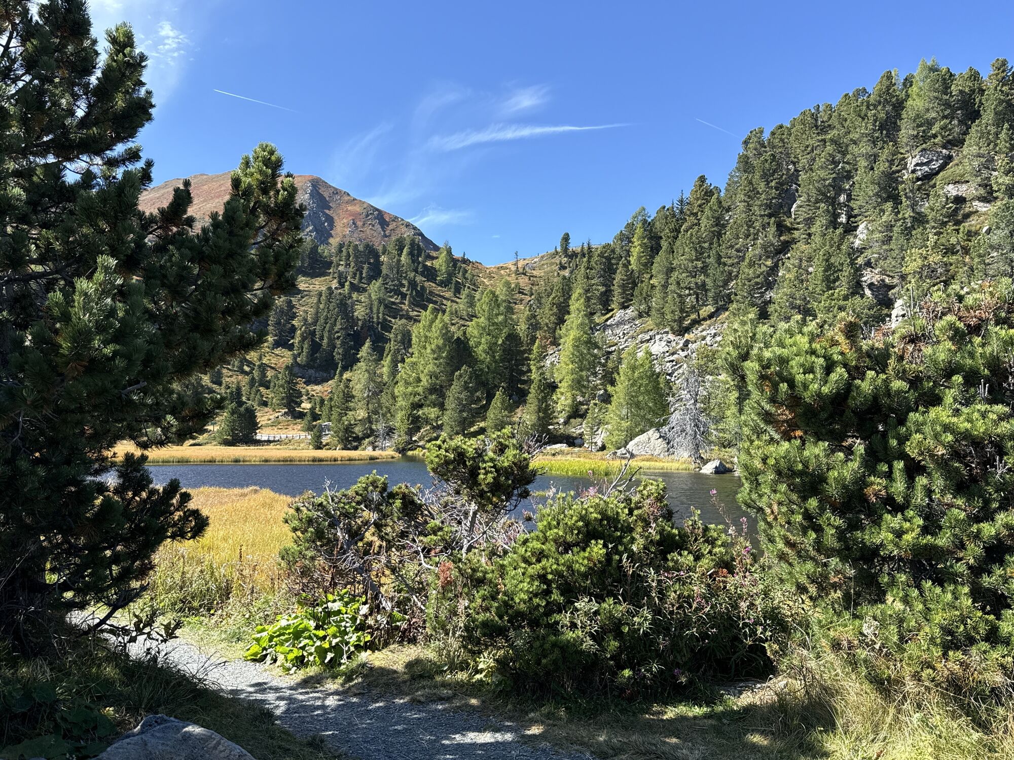
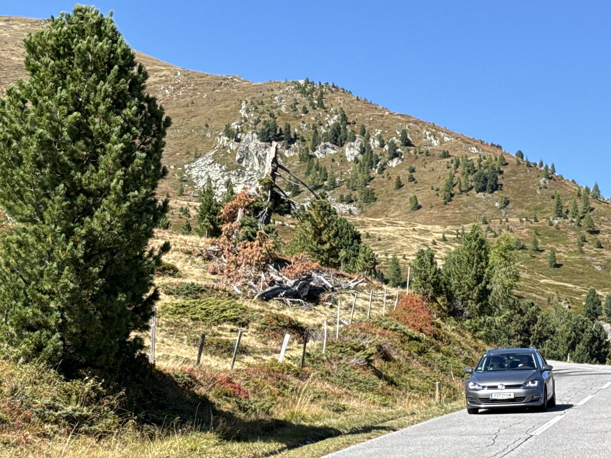
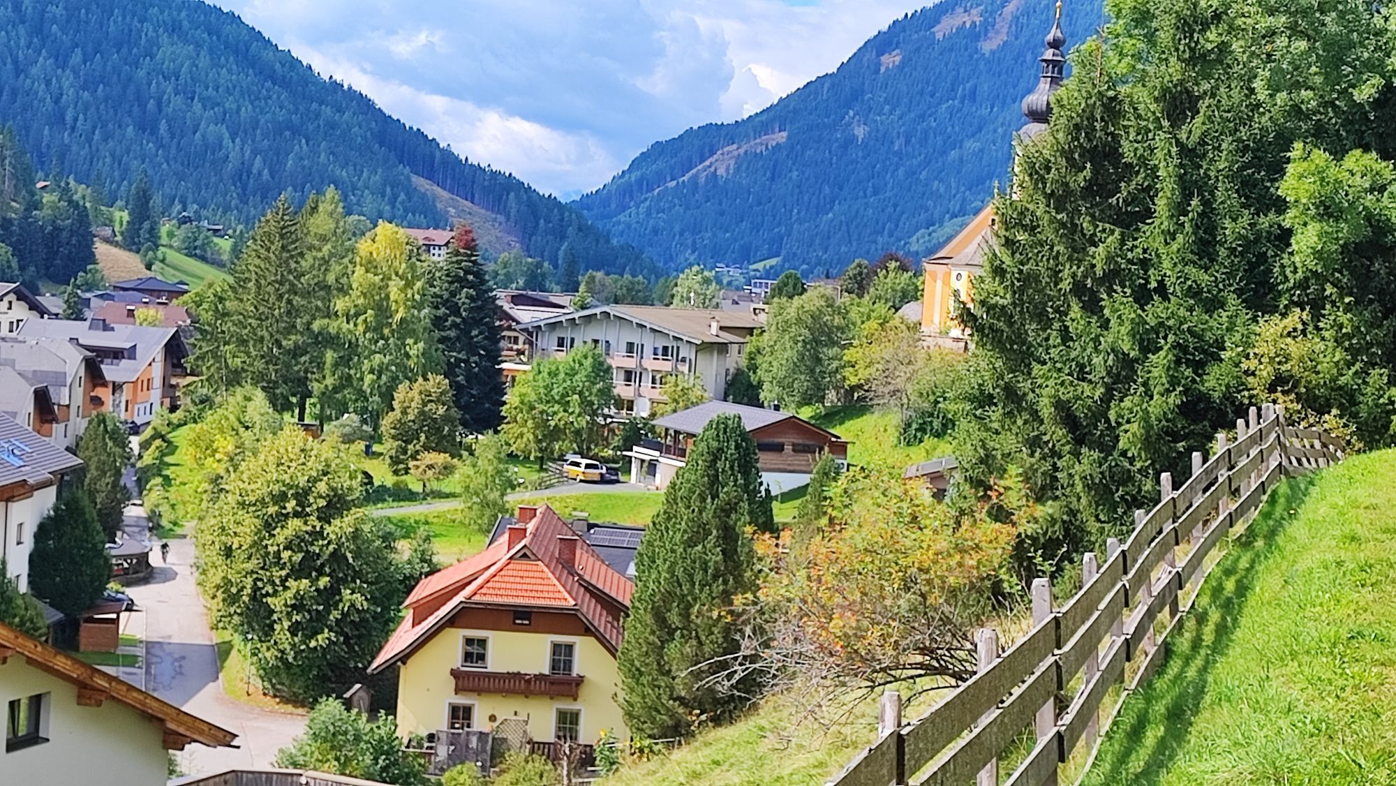


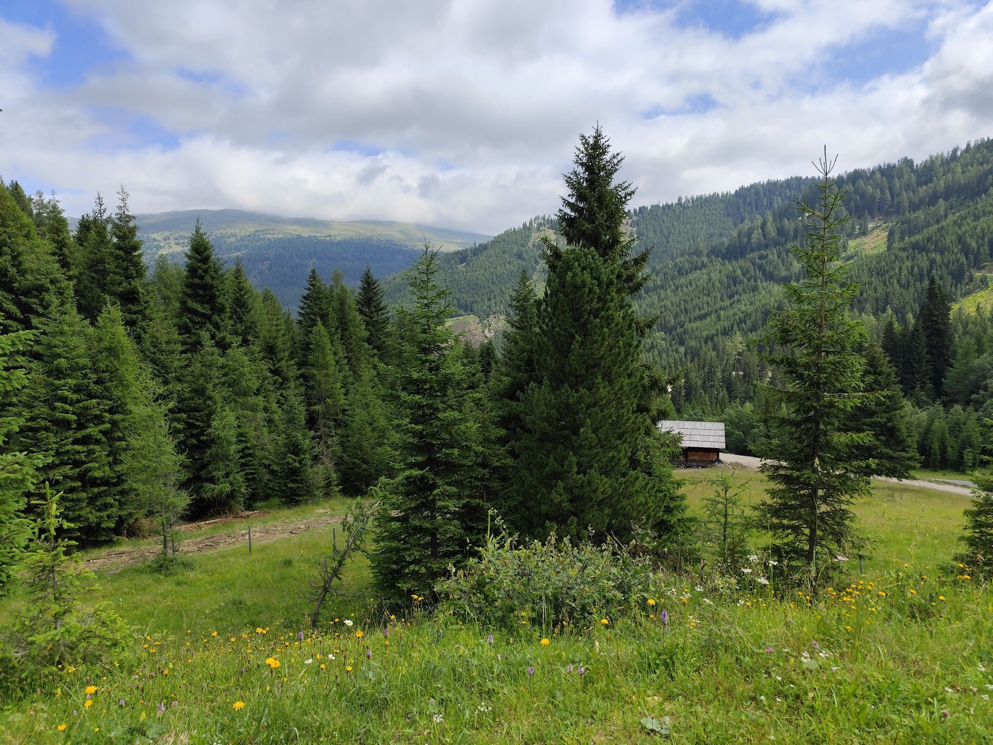

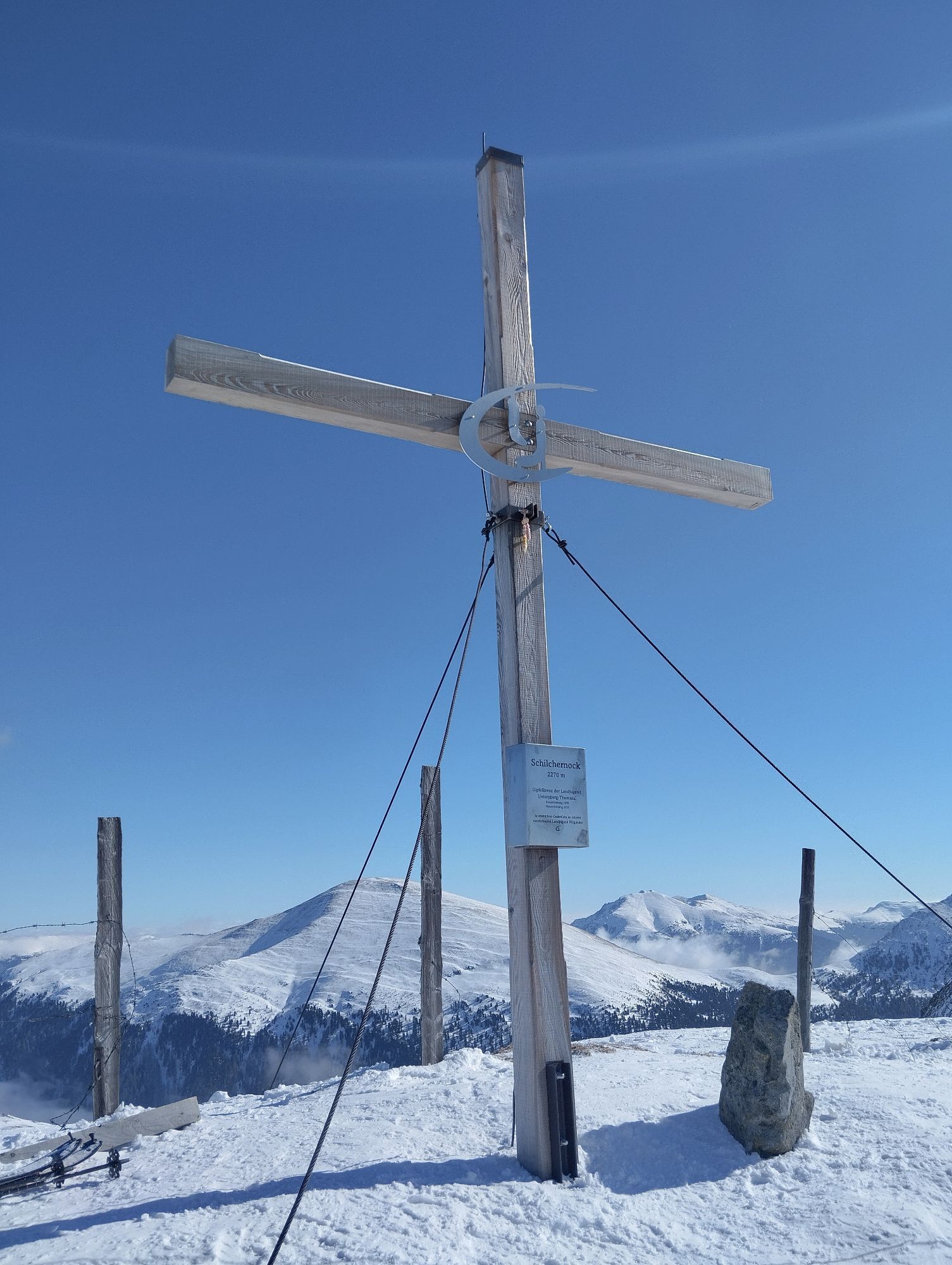


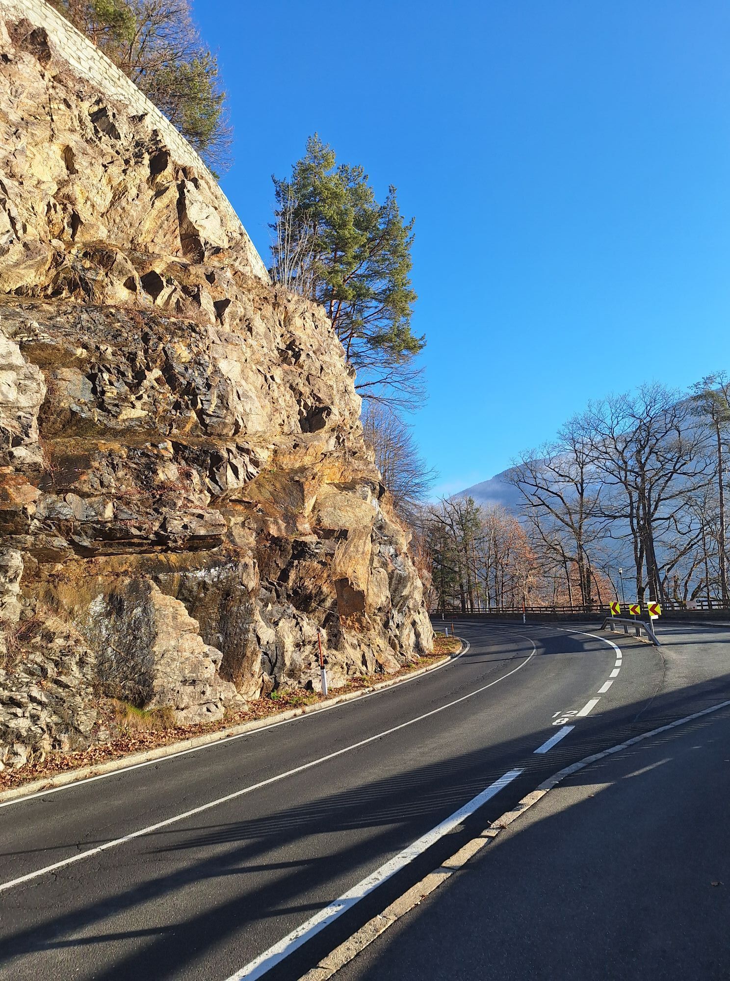


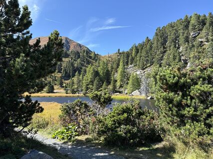
The demanding course starts in Bad Kleinkirchheim and leads past the golf course to Ebene Reichenau. From here, you cycle along the Nockalmstraße to the Glockenhütte. Afterwards, you reach the highest...
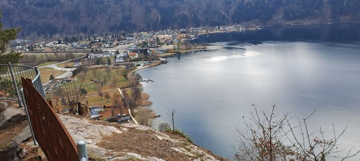
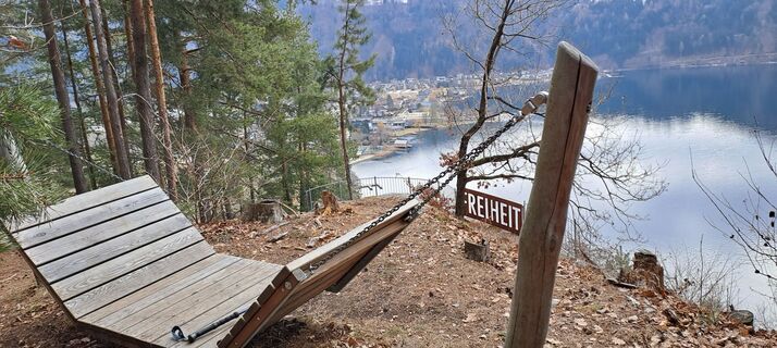
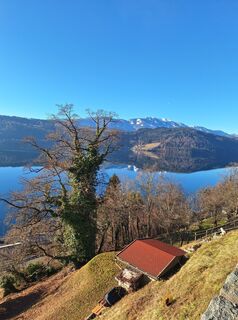
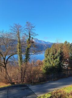
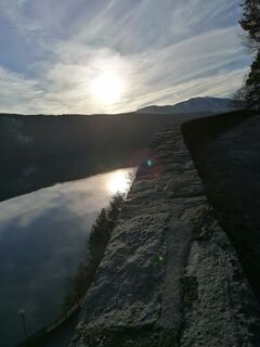
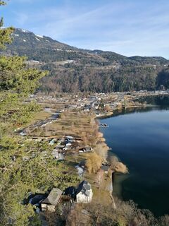
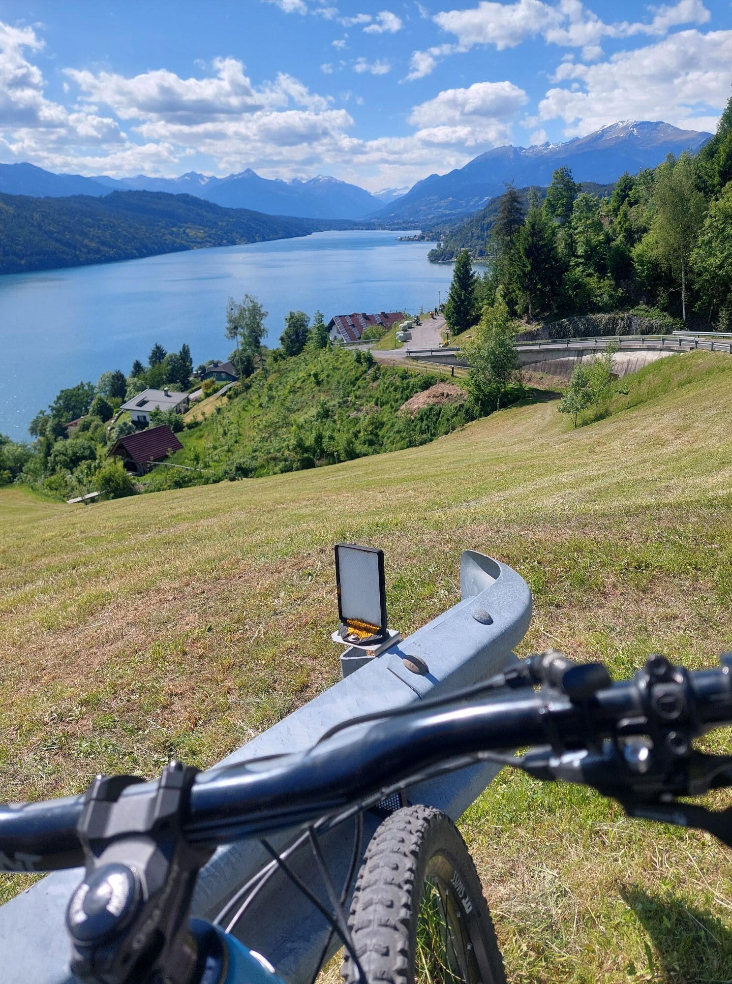
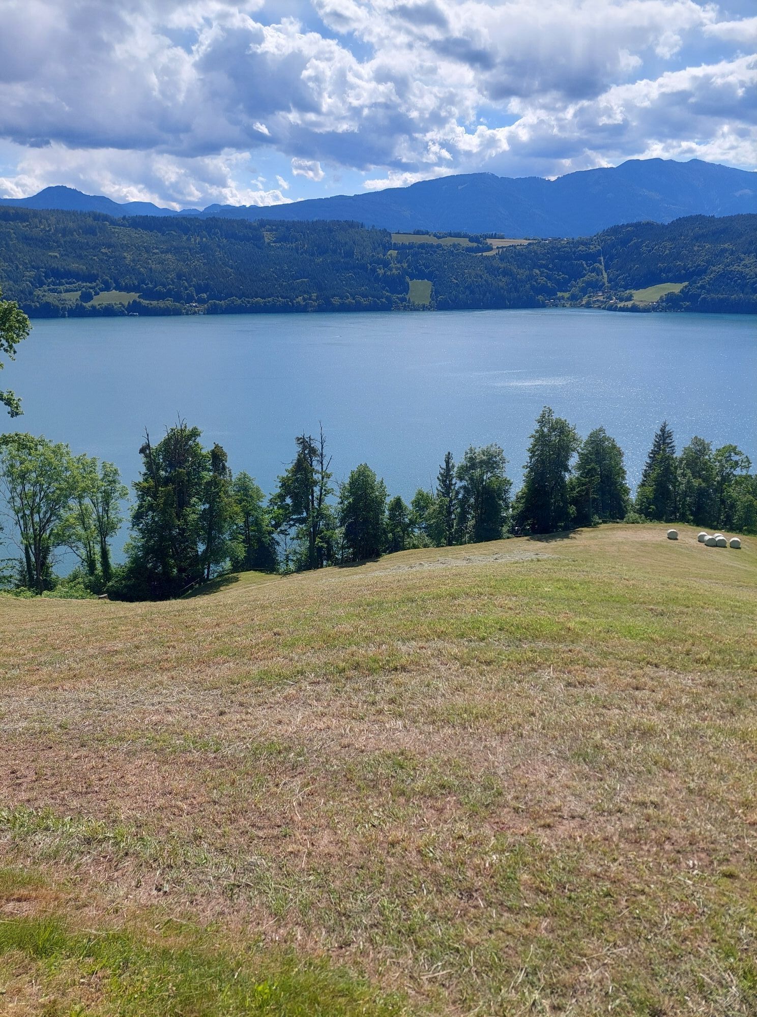
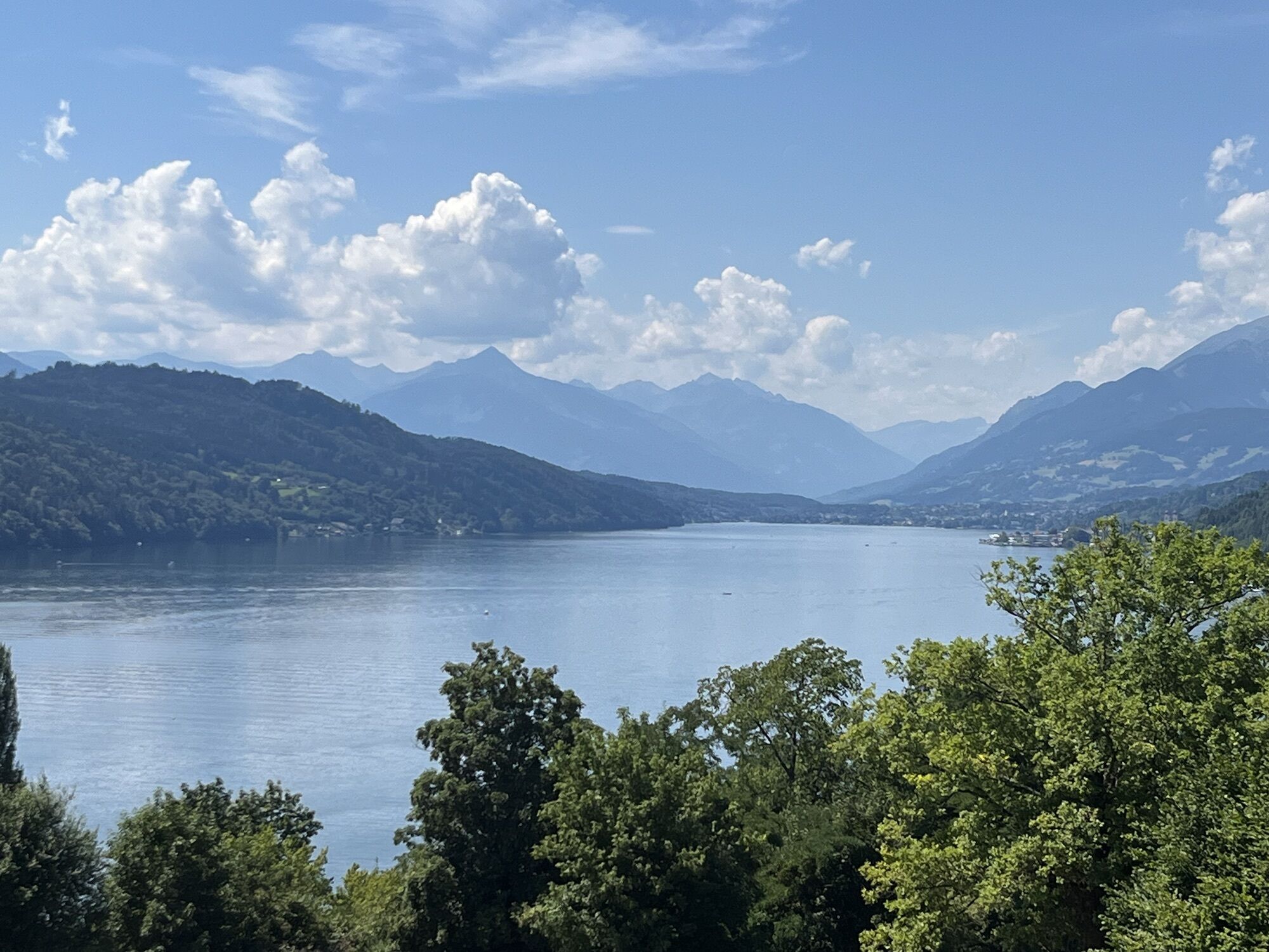
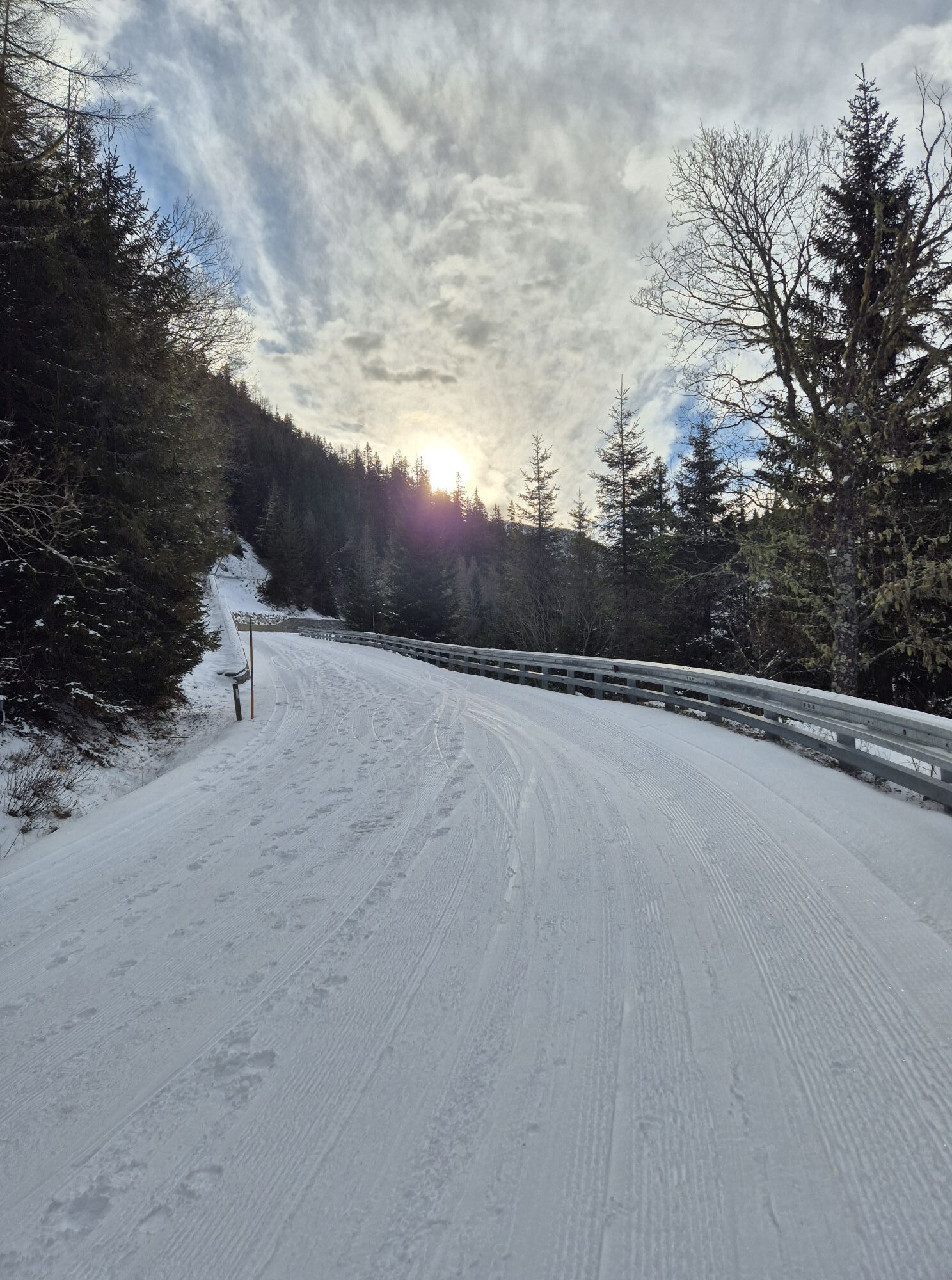
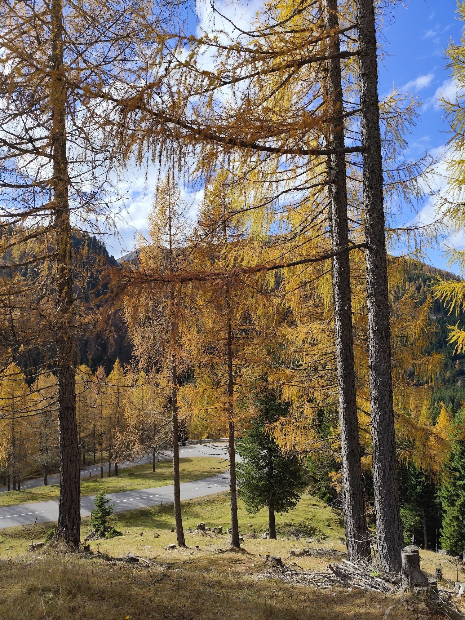
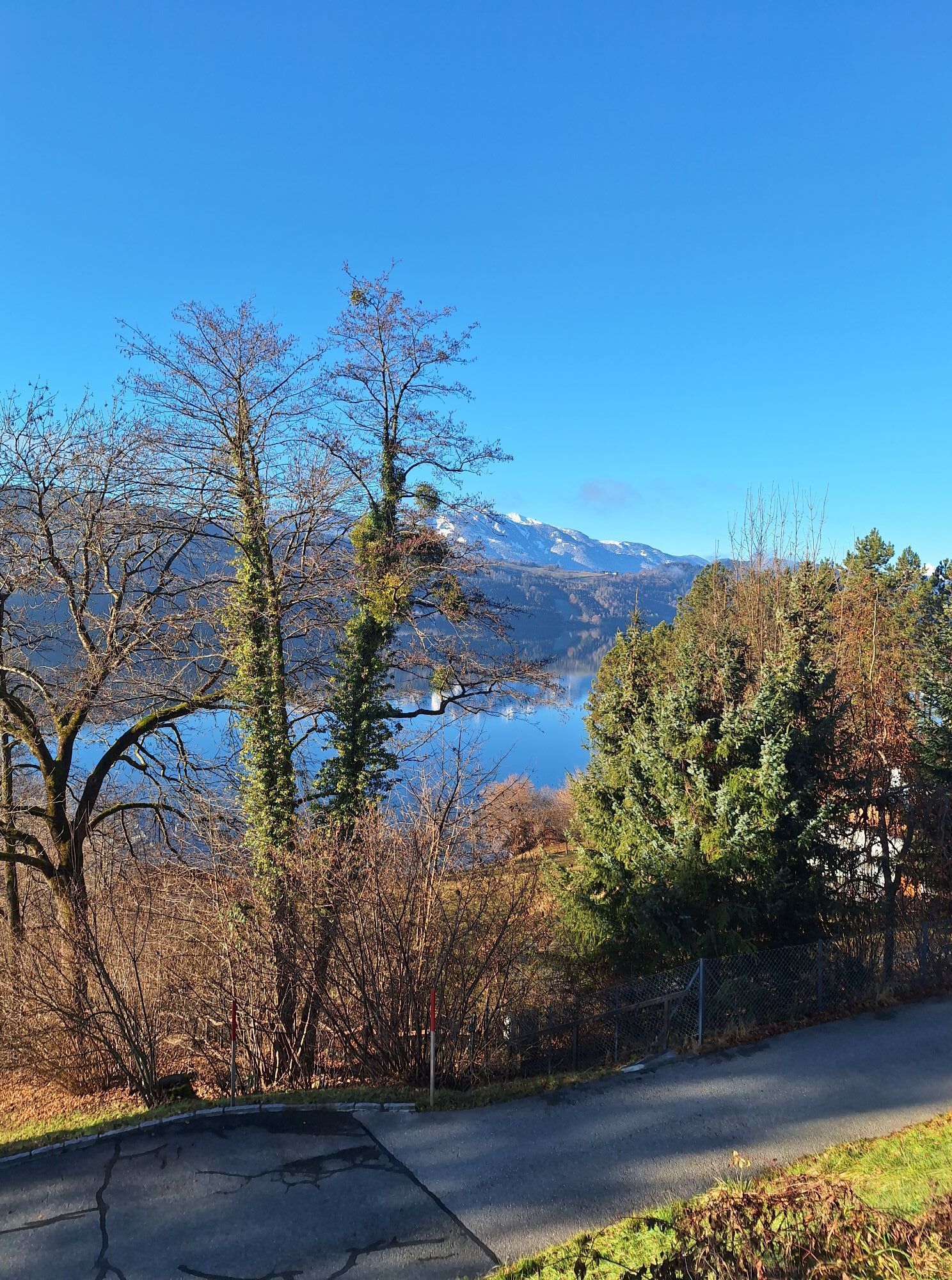
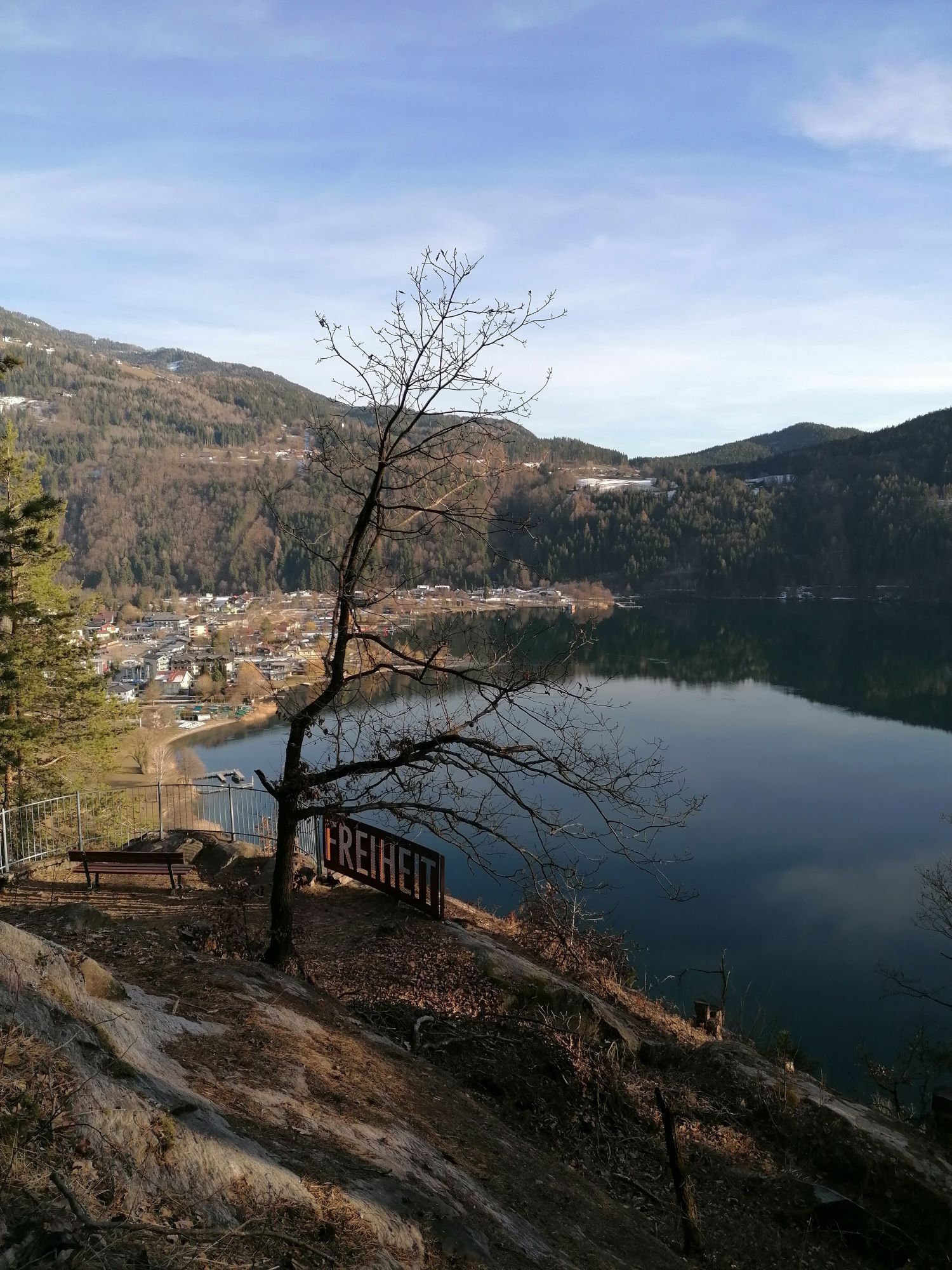
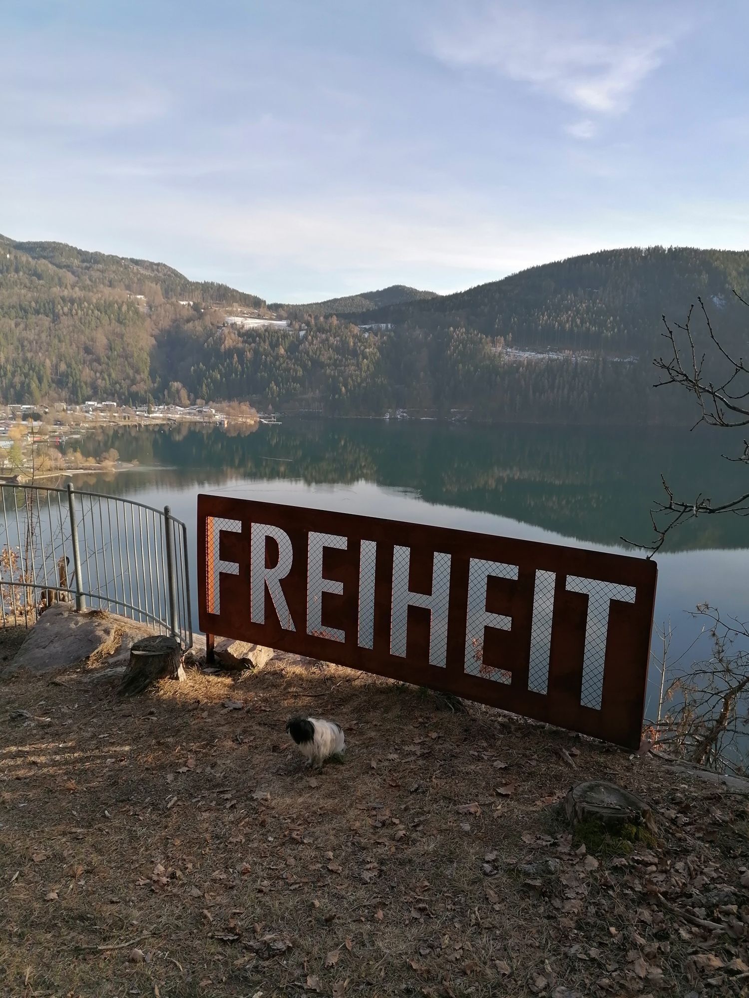
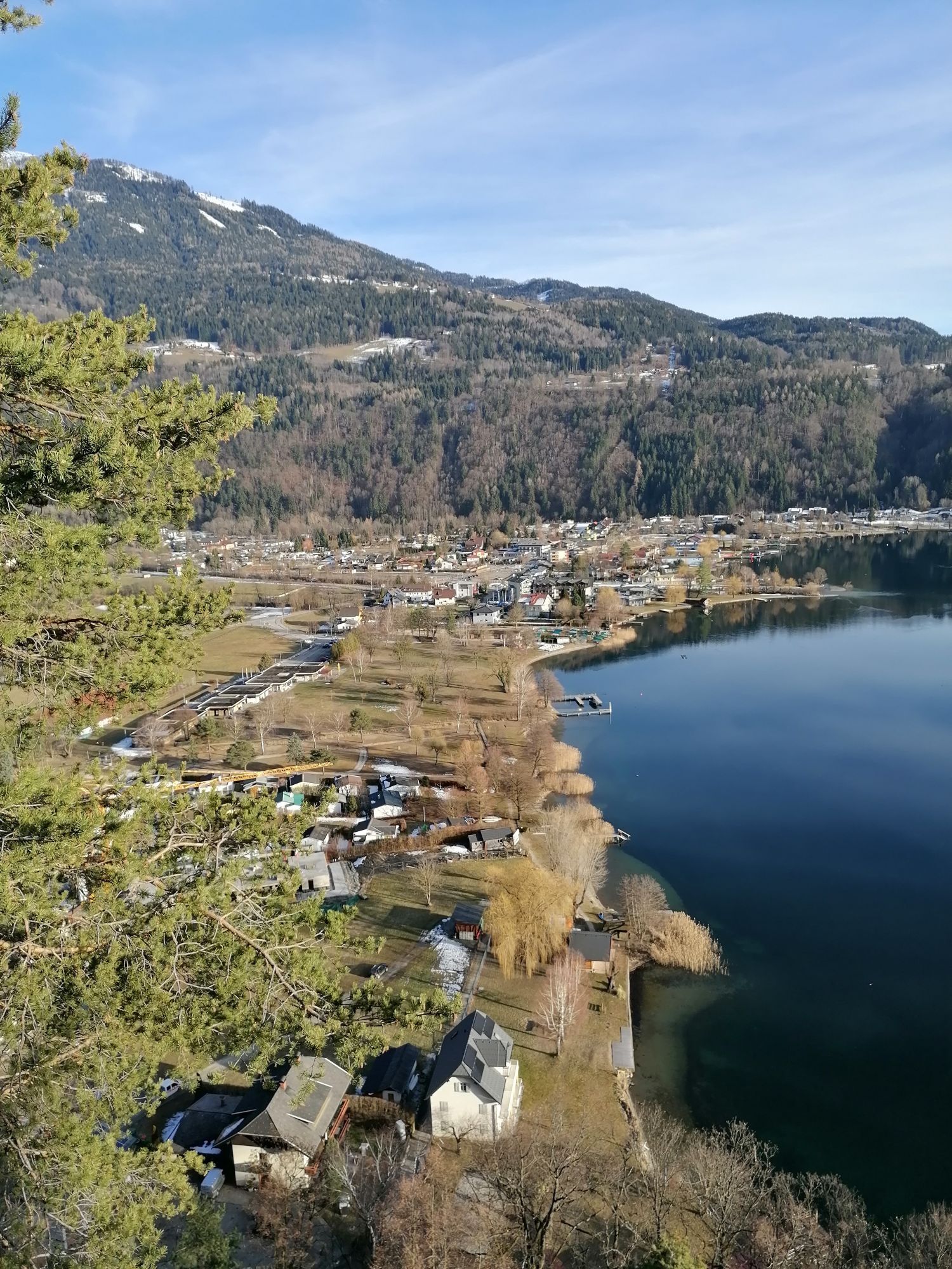
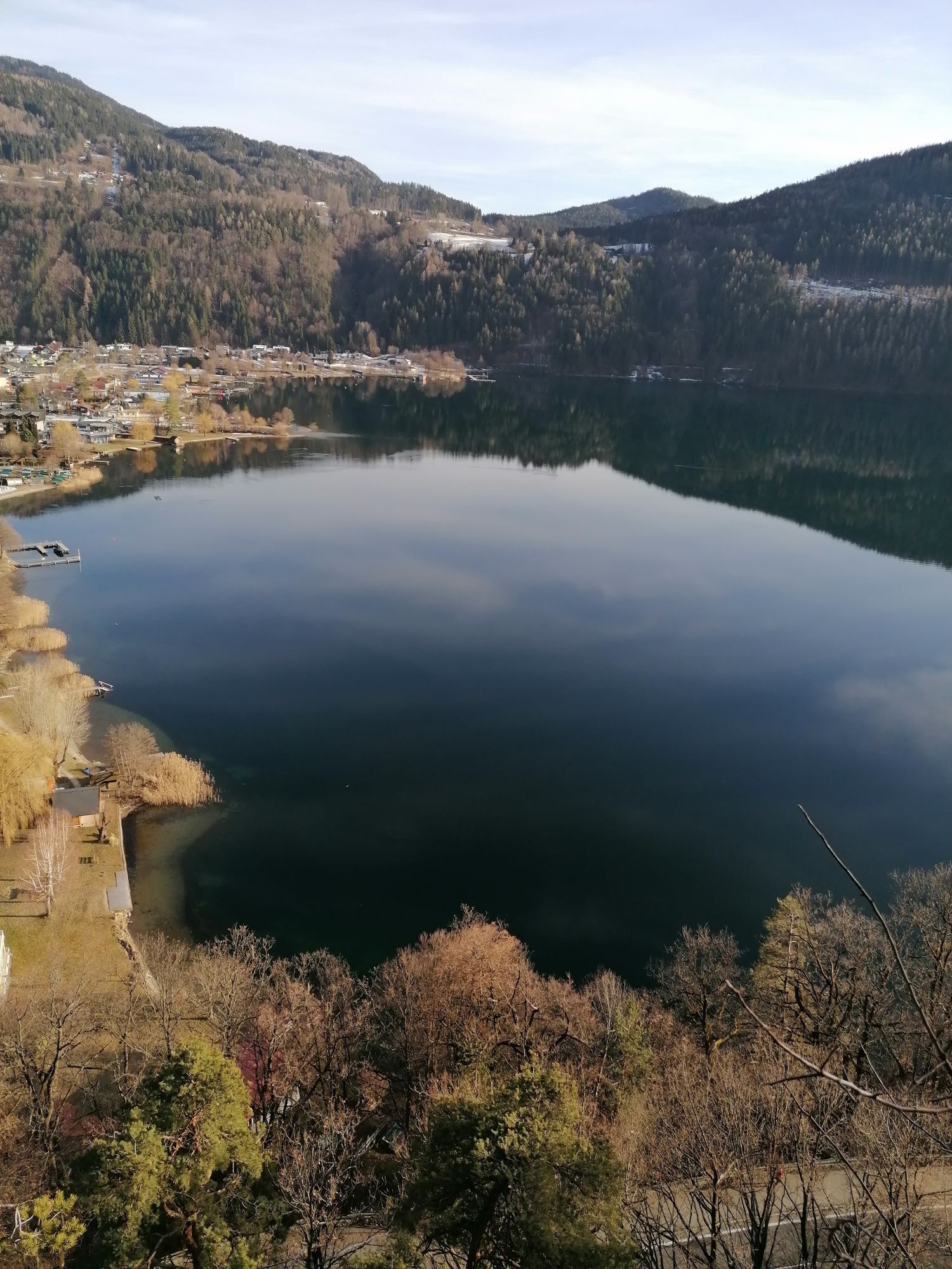
The demanding course starts in Bad Kleinkirchheim and leads past the golf course to Ebene Reichenau. From here, you cycle along the Nockalmstraße to the Glockenhütte. Afterwards, you reach the highest point of this tour at the Eisentalhöhe (over 2000 m). Then it goes back through the Liesertal valley, past Lake Millstatt and finally back to Bad Kleinkirchheim.
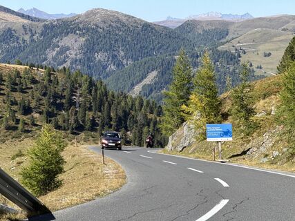
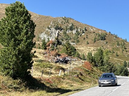
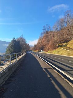
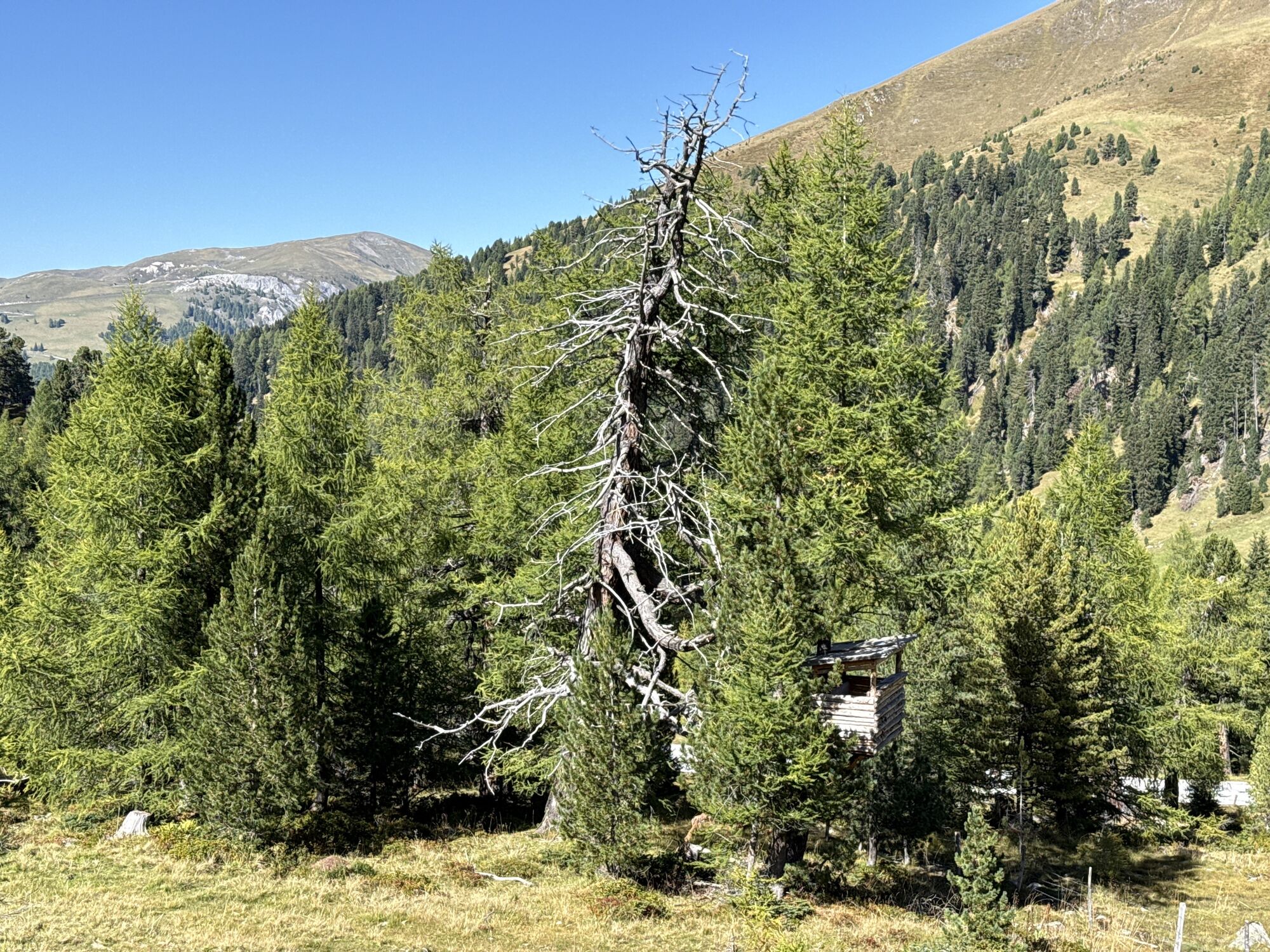
Start heading towards Zirkitzen, past the golf course and at the junction at km 6.77 turn left to Ebene Reichenau. Continue on the federal road B 95 and at the fork at km 14.25 turn left – start of the Nockalmstraße. At km 17.64 you pass the toll station and at km 26.8 you reach the first stage goal, the Glockenhütte.
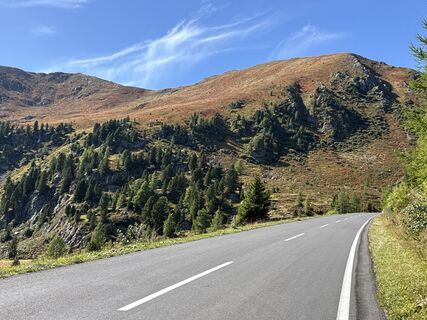
At km 36.03 you pass the Karlbad and arriving at the Eisentalhöhe (40.13) you reach the highest point of this circular route. Now it goes downhill, past the toll station (km 48.17), at the next junction at km 48.37 turn left to Kremsbrücke.
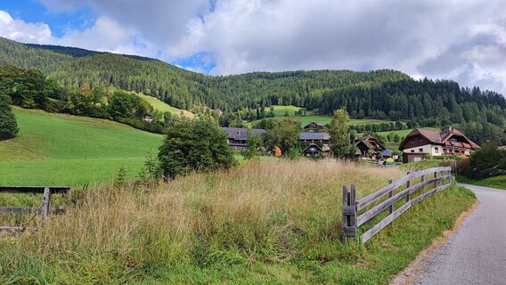
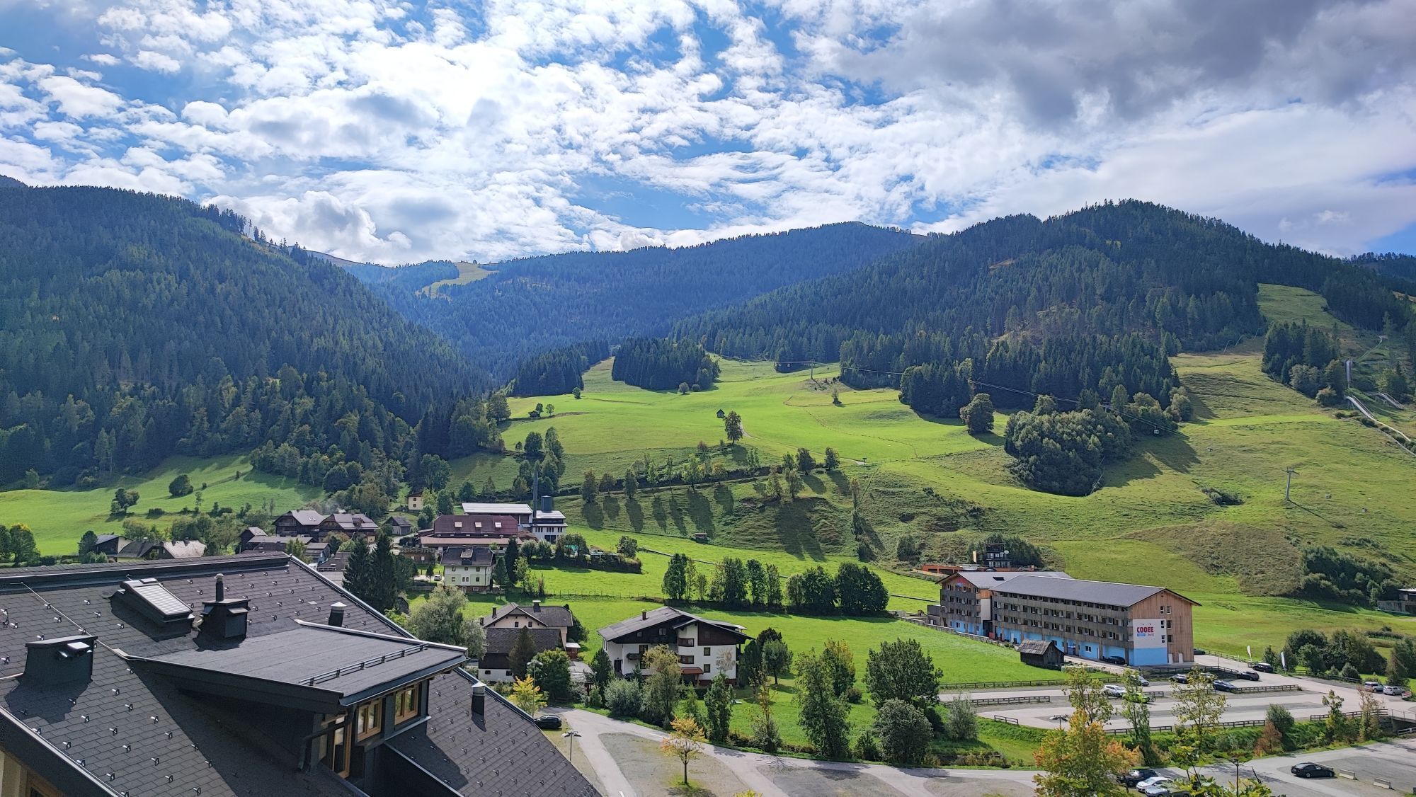
Before the church in Kremsbrücke (km 58.34) turn left towards Spittal, along the B 99 to Gmünd, here at the roundabout (km 68.5) go towards Landfraß/Perau. Then continue through Perau to Treffling, follow the main road, past the Sommeregg castle, at the junction with Obermillstätter Landstraße (km 80.2) turn left. Pass through Tangern (km 81.1), Laubendorf (km 83.6), Obermillstatt (km 86.57), Lammersdorf (km 87.9) and Sappl (km 89.8) to Dellach.
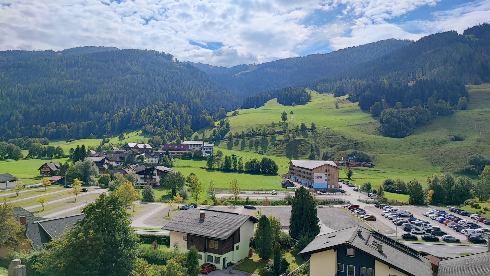
At the junction before the Brugger guesthouse (km 91.4) turn left onto the bike path, follow it to Döbriach, then continue to Radenthein and at the roundabout at km 99.7 towards Bad Kleinkirchheim/Turrach. The last climb follows back to Bad Kleinkirchheim, tourist information (km 107.98).
Recommendation: with a racing bike, ideally with 3 front chainrings.
Da
Bus
Public parking lot
nock/bike Competence Center
Krainer family
Sonnenstraße 5
A-9544 Feld am SEE
Tel.: +43 4246 3188
www.nockbike.com
Further information about the Bad Kleinkirchheim region at: www.badkleinkirchheim.at
Spletne kamere s turneje
-
Kornockbahn Bergstation
-
Schoberriegel
-
Hauptschule Gmünd
-
Sport Schiffer - Innerkrems
-
Ferndorf / Alpengasthof Bergfried
-
Bad Kleinkirchheim - Brunnach
-
Sonnlift - Heidi Alm Bergresort Falkert
-
Turracherhöhe/Hirschkogel
-
Bad Kleinkirchheim - Maibrunn Berg
-
Turracher Höhe - Panoramabahn
-
Bad Kleinkirchheim - Kaiserburg
-
Bad Kleinkirchheim
-
Döbriach
-
Bergbahnen Turracher Höhe
-
Bergbahnen Turracher Höhe
-
Bergbahnen Turracher Höhe
-
Bergbahnen Turracher Höhe
-
Bergbahnen Turracher Höhe
-
Seeblickweg
-
Millstatt am See
-
Falkert Nord
-
Heidi-Hotel
-
Millstätter Schifffahrt
-
BKK - Country Trail
-
Hotel zur Post
-
Heidi-Chalets
-
Döbriach am Millstätter See
-
Zechneralm
-
Almzeithütte
-
Almzeithütte
-
Almzeithütte
-
Almzeithütte
-
Künstlerstadt Gmünd in Kärnten
-
Bad Kleinkirchheim - Brunnach
-
Schönfeld
-
Innerkrems
-
B95 Turracher Höhe
-
Sankt Oswald - Nockalm
Priljubljeni izleti v okolici
-
4.5
Rundweg über den Falkert
srednjaPohodništvo 6.26 km -
4.0
Ski tour educational trail Grünleitennock
svetlobaSmučarska tura 10.6 km -
4.7
Lammersdorfer Hütte, Granattor Runde
svetlobaPohodništvo 9.85 km -
4.9
Nockbergrundwanderweg
srednjaPohodništvo 6.62 km -
4.1
Mirnock
svetlobaPohodništvo 4.54 km -
4.8
Enzian-Granatsteig & Almbrunn Steig
svetlobaPohodništvo 8 km -
4.5
Falkertsee - Murmelsteig mit Abstieg über Falkertscharte
srednjaVia ferrata 4.04 km -
4.6
Falkertsee - Sonntagstal - Falkert
srednjaPohodništvo 4.84 km -
4.6
Millstätter See cycle track
srednjaKolesarjenje 27.7 km -
4.9
Skitour: FIS K70, Auf Franz Klammers Spuren
srednjaSmučarska tura 11.3 km
Pohodništvo in sledenje


Ne zamudite ponudb in navdiha za naslednje počitnice
Vaš e-poštni naslov je bil dodan na poštni seznam.