




Villach Alpenstraße from Lake Wörthersee

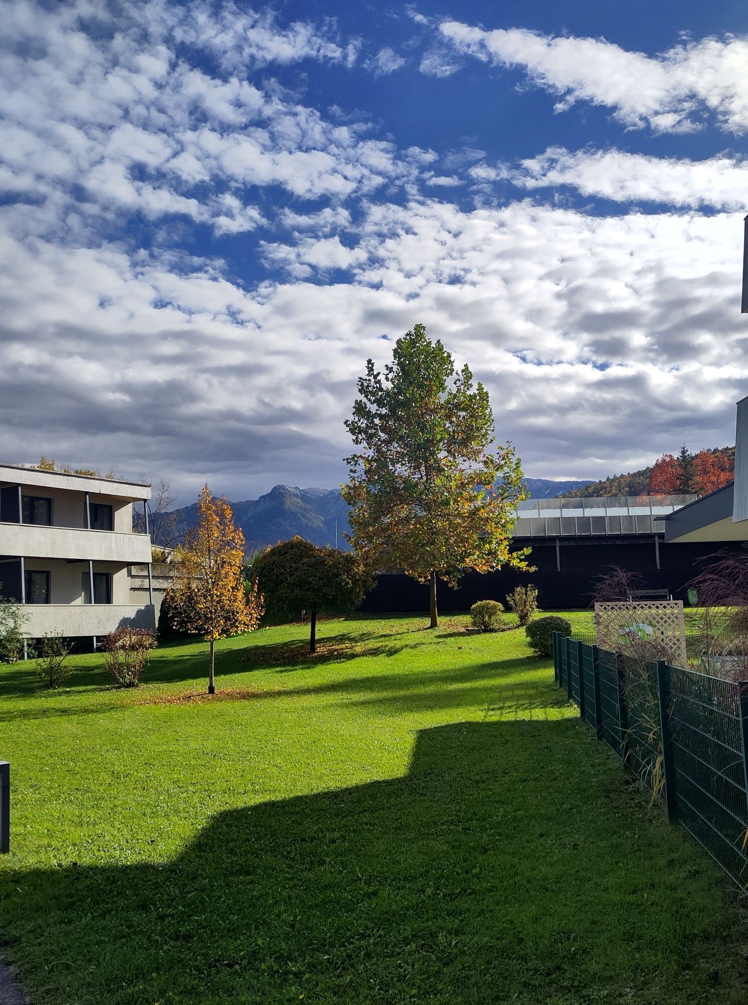
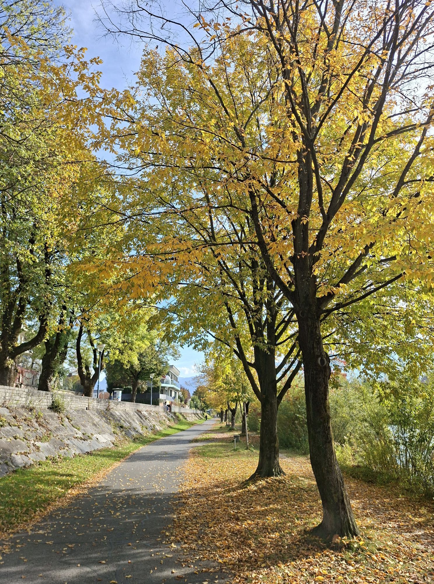
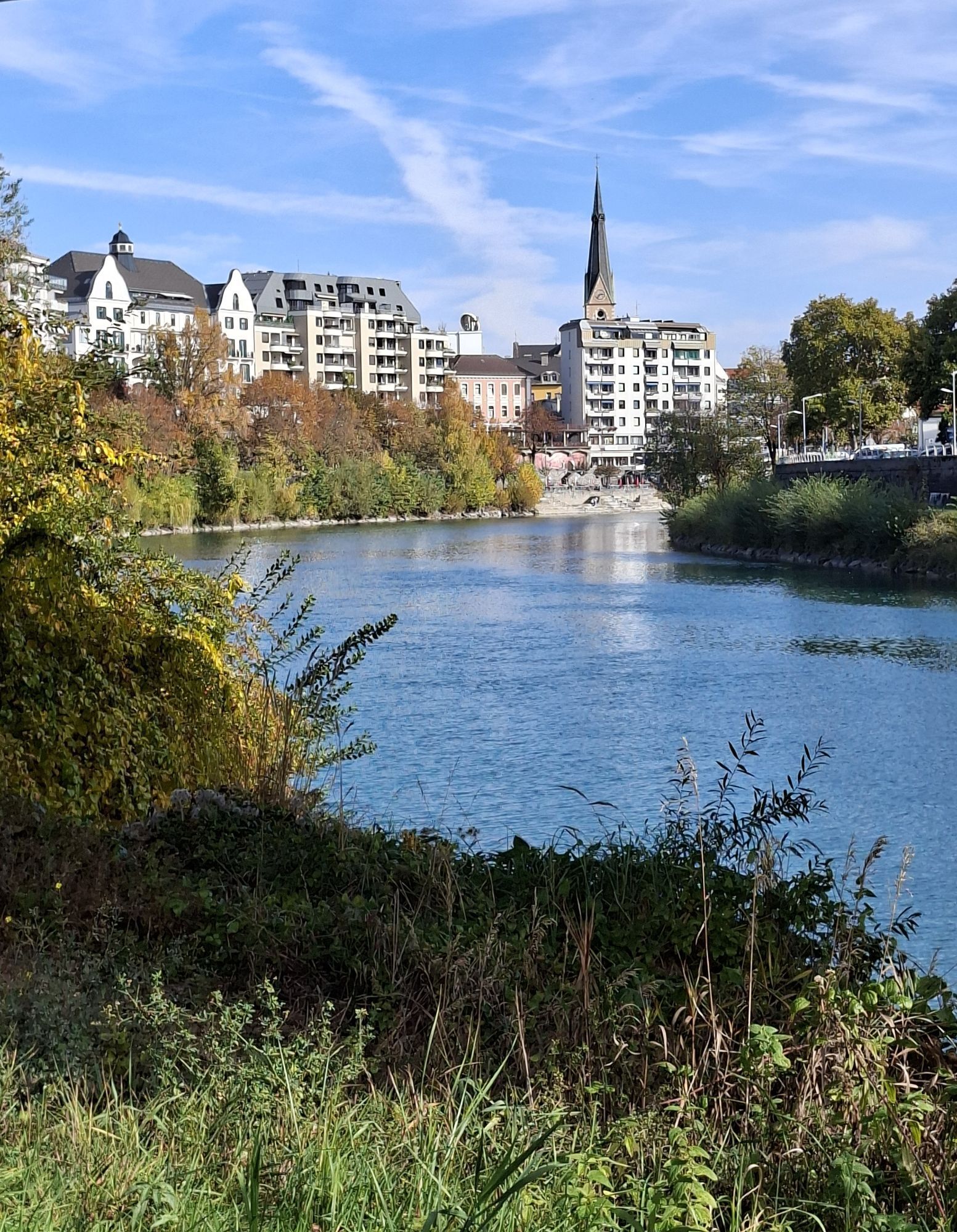
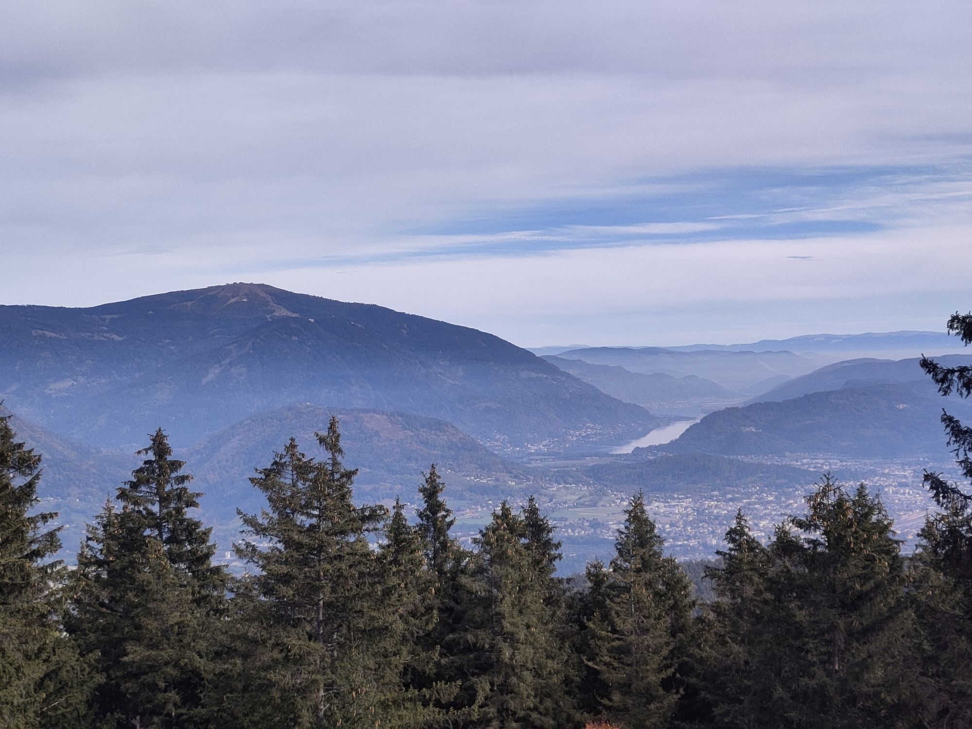
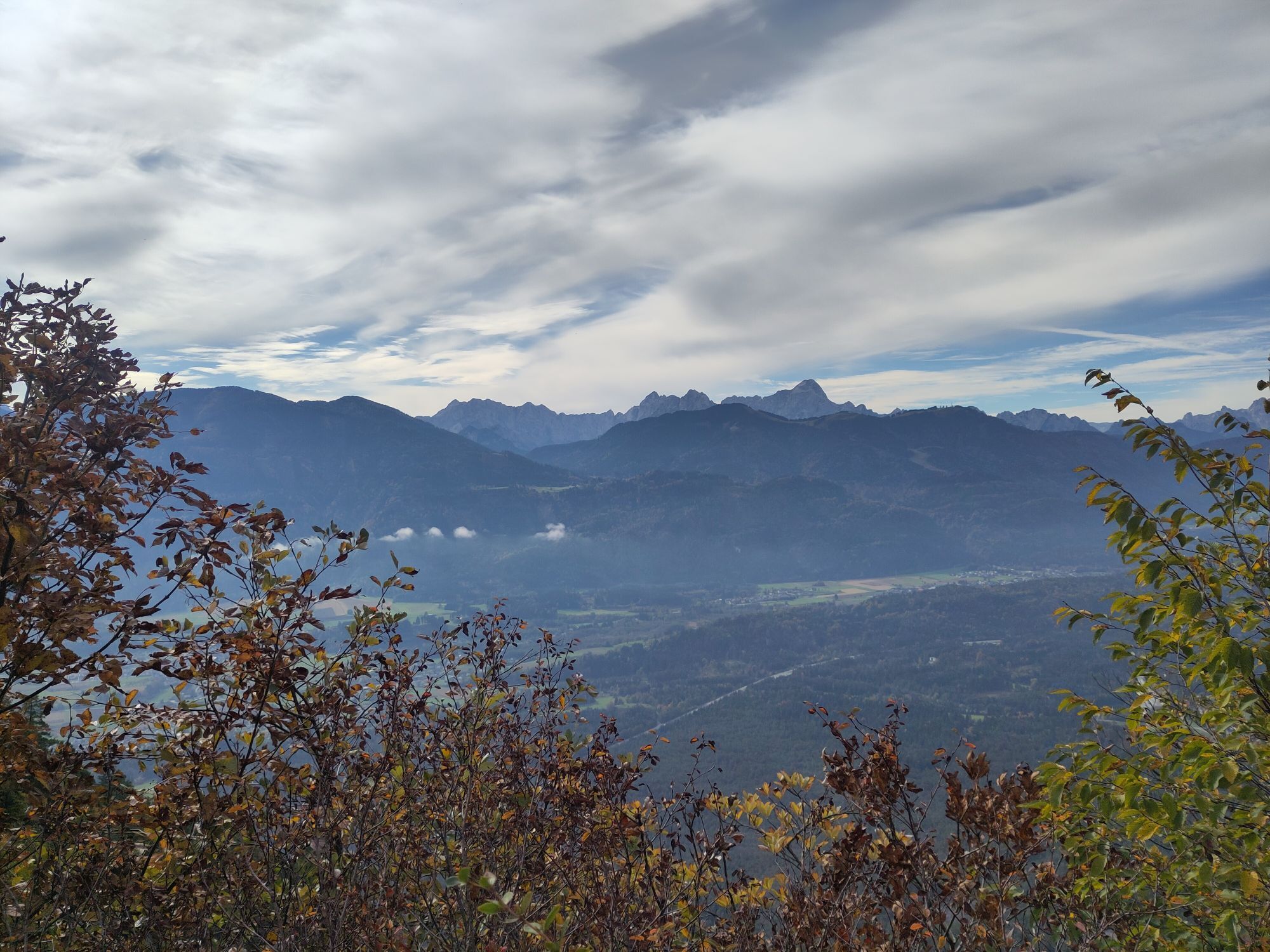
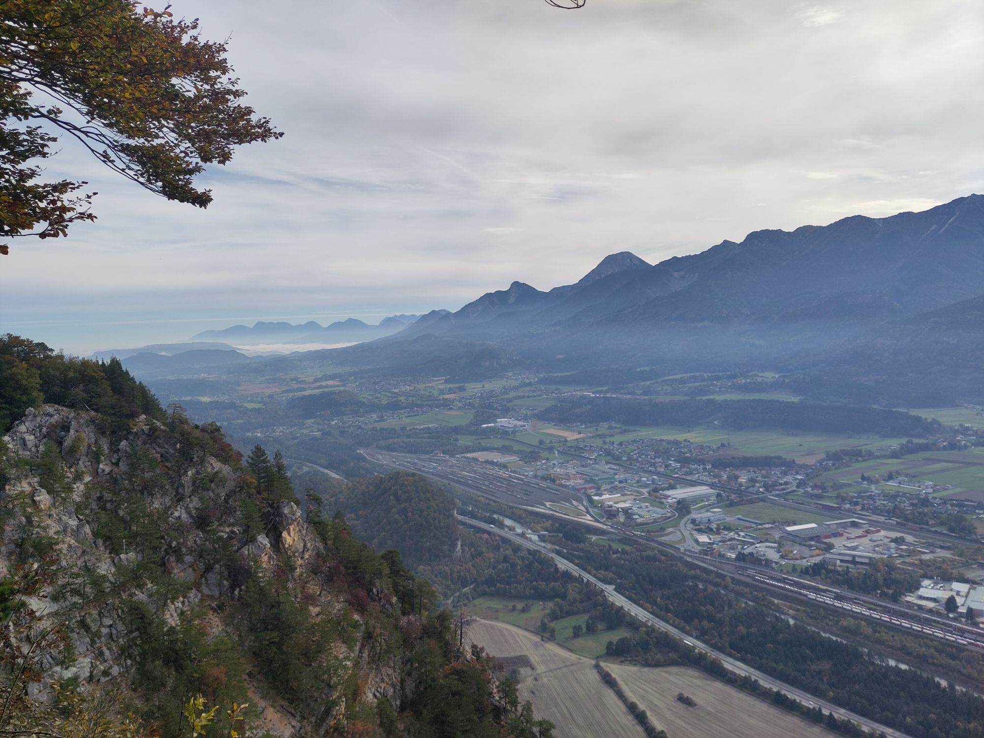
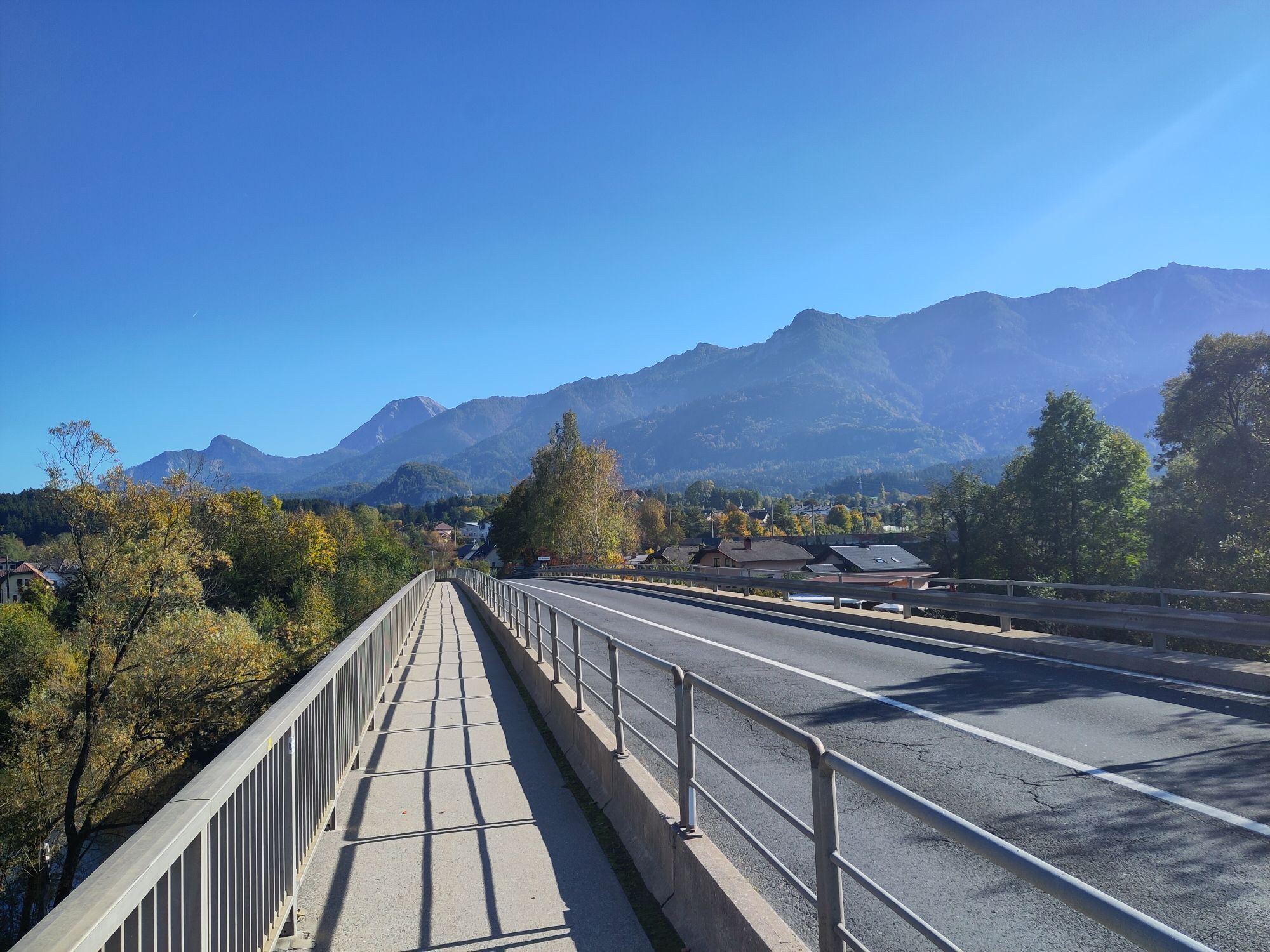
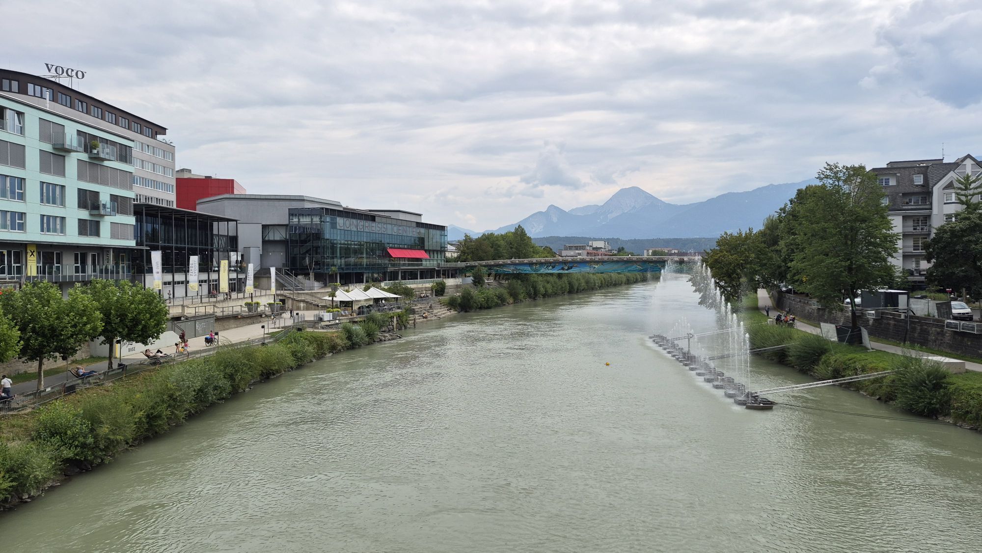
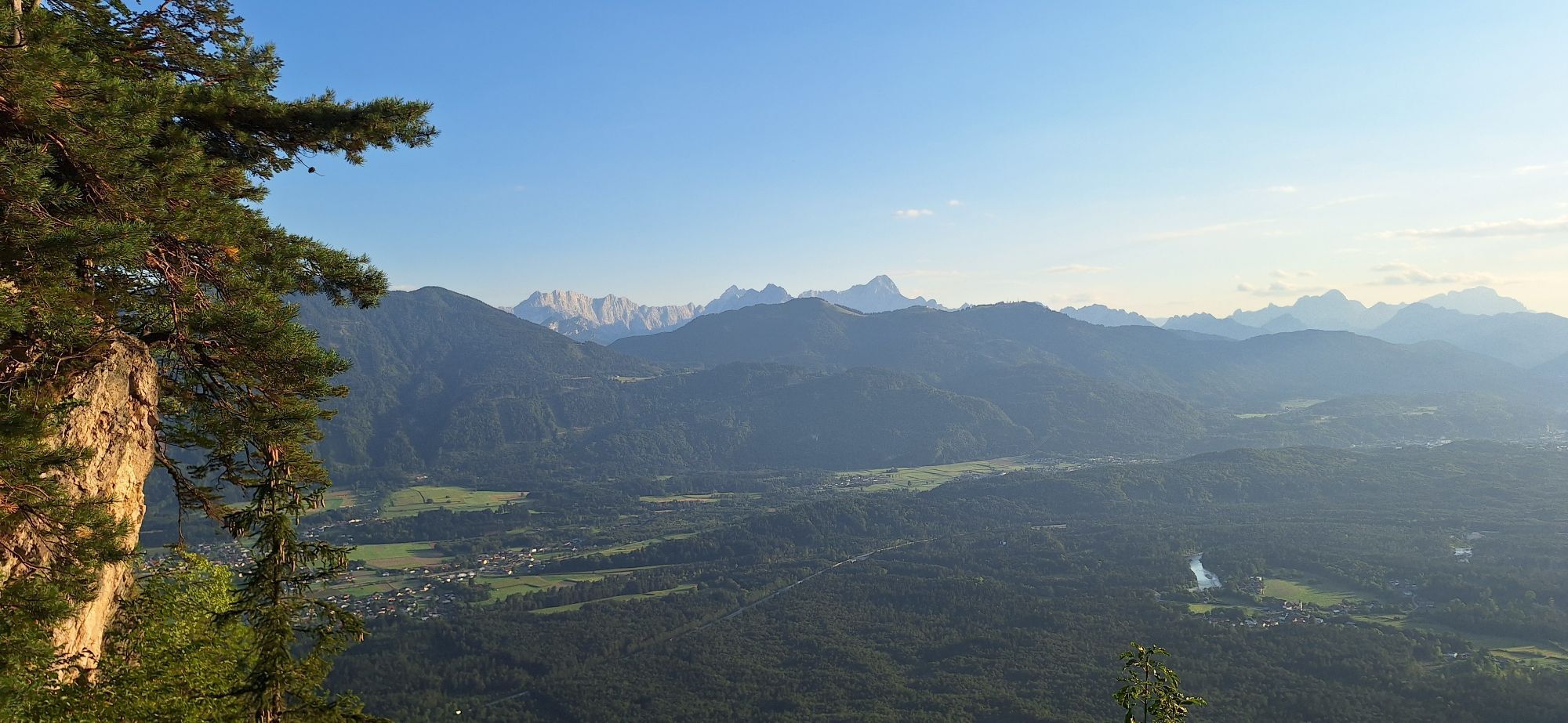
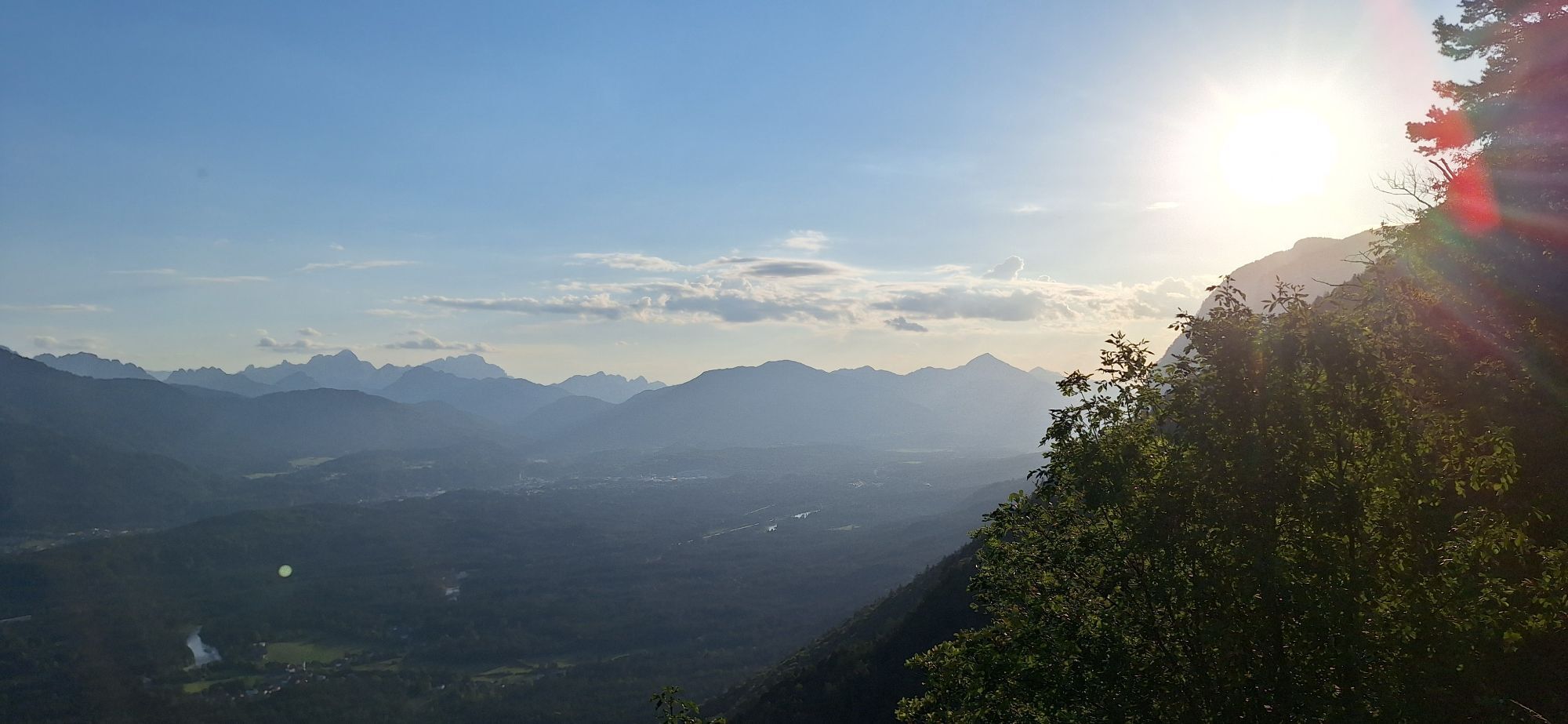
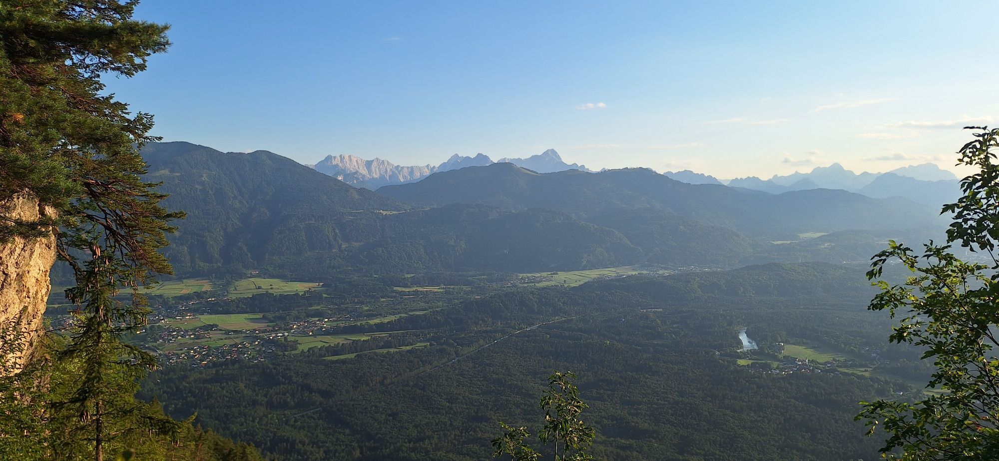


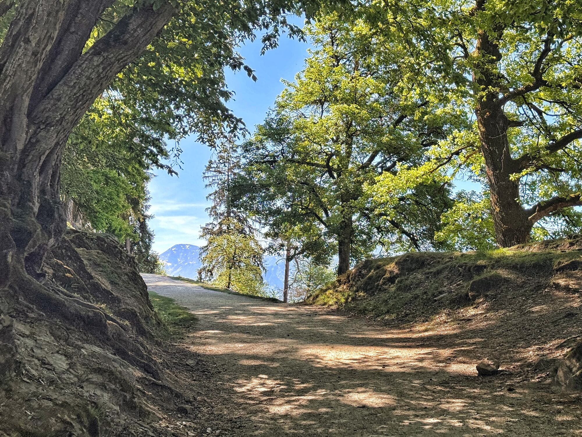


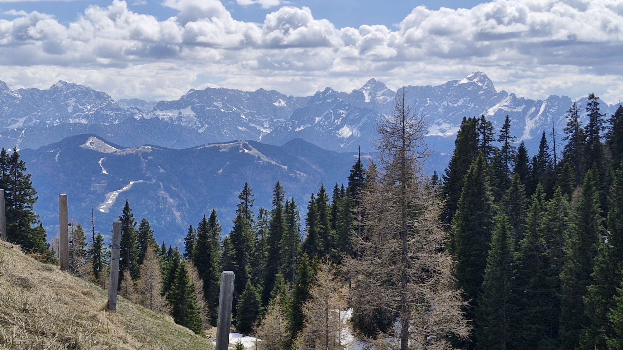

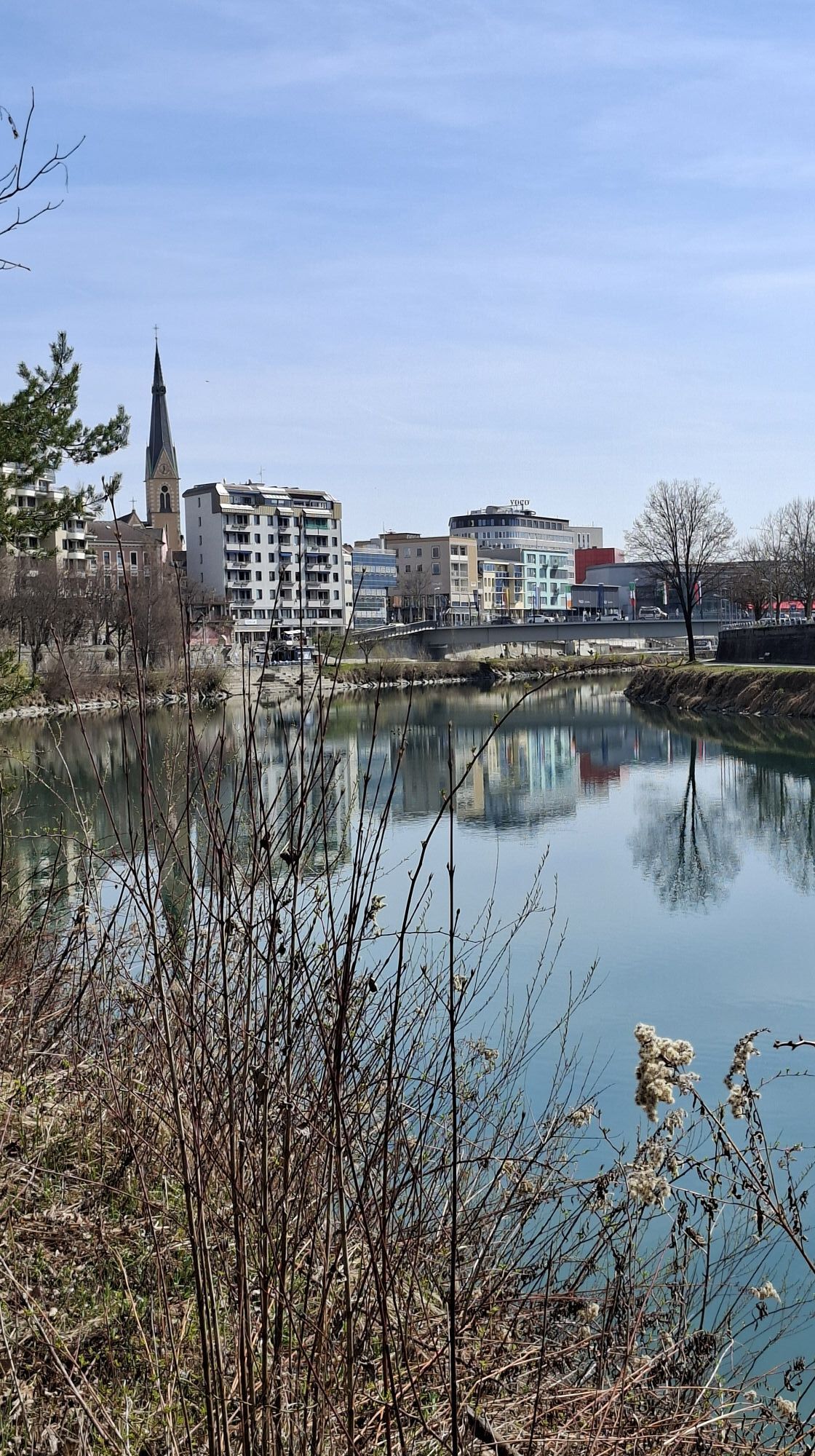
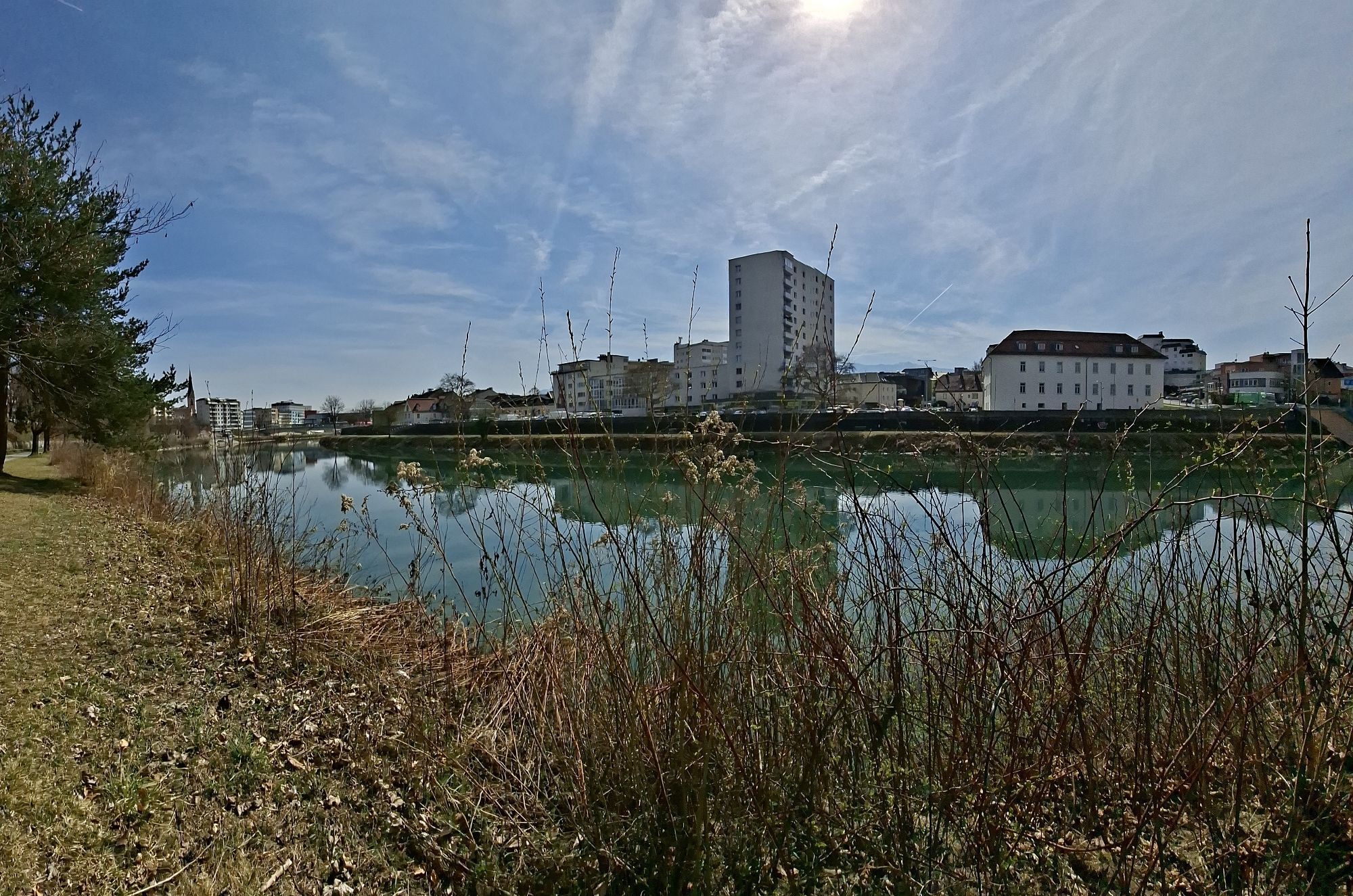
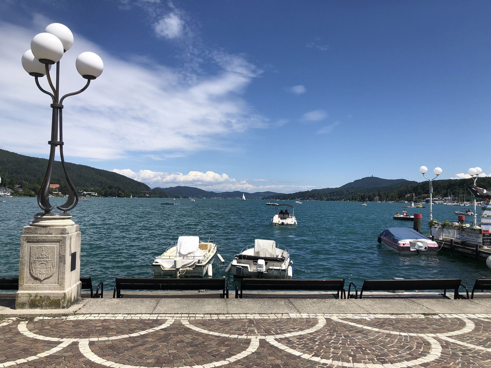
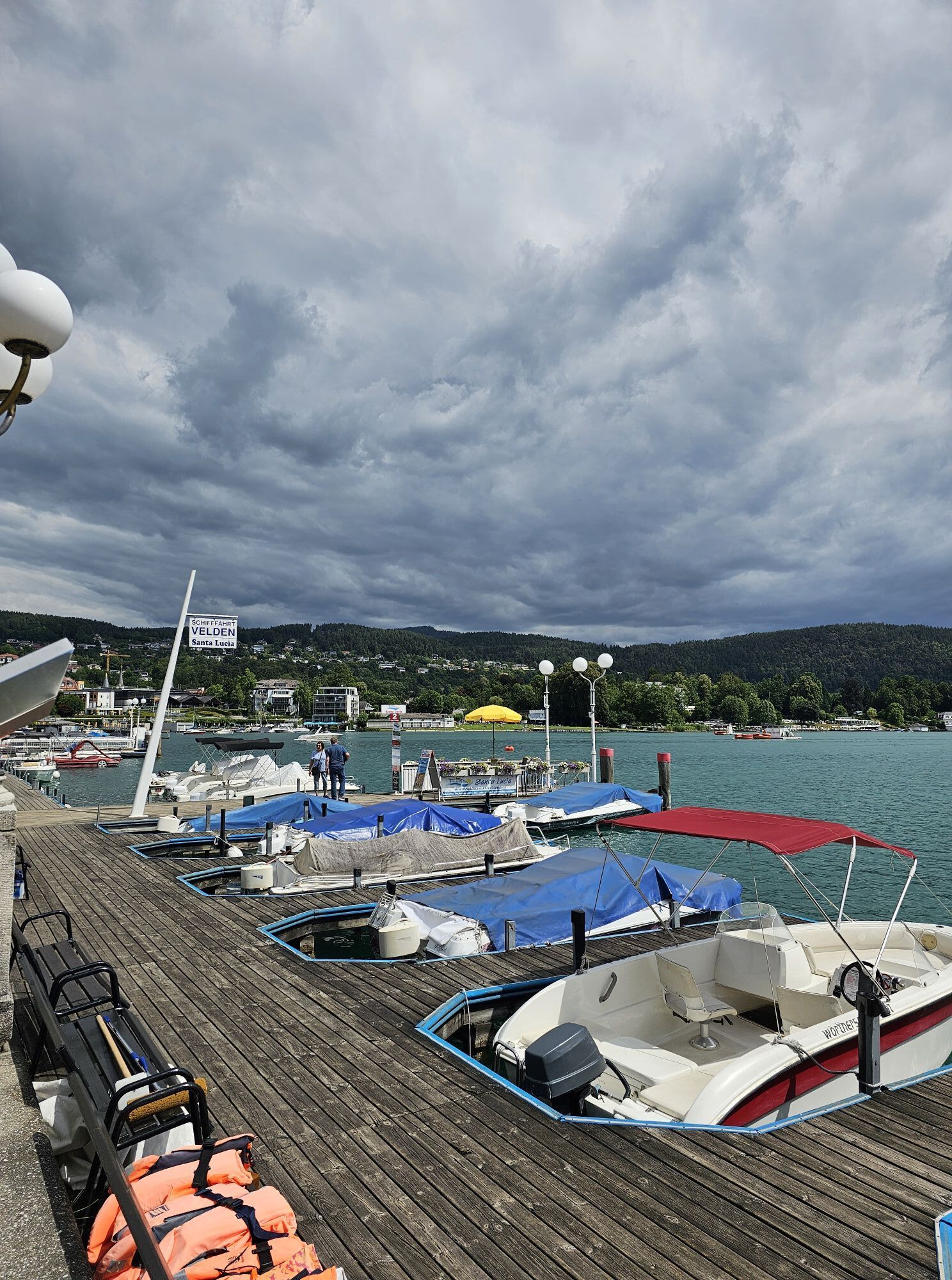
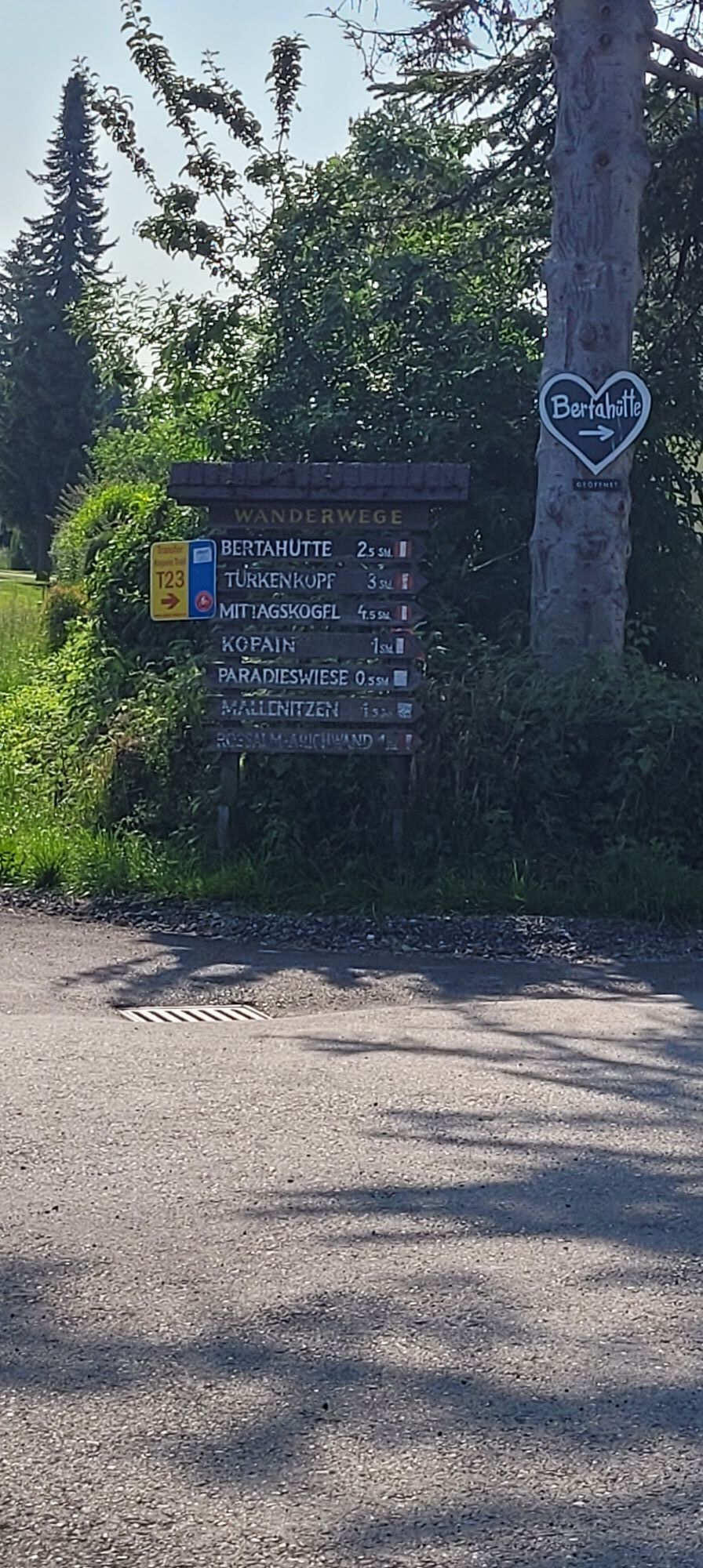

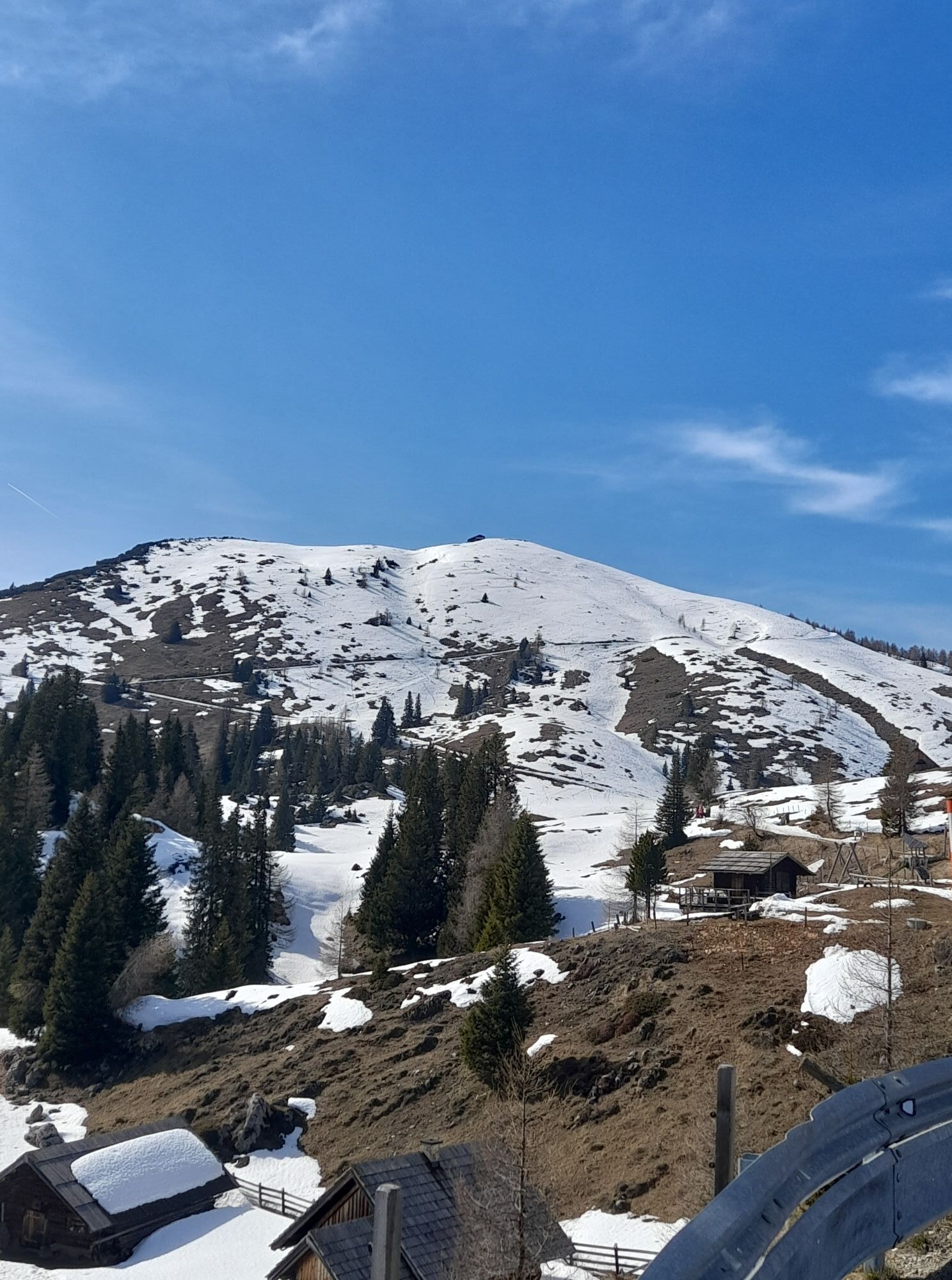


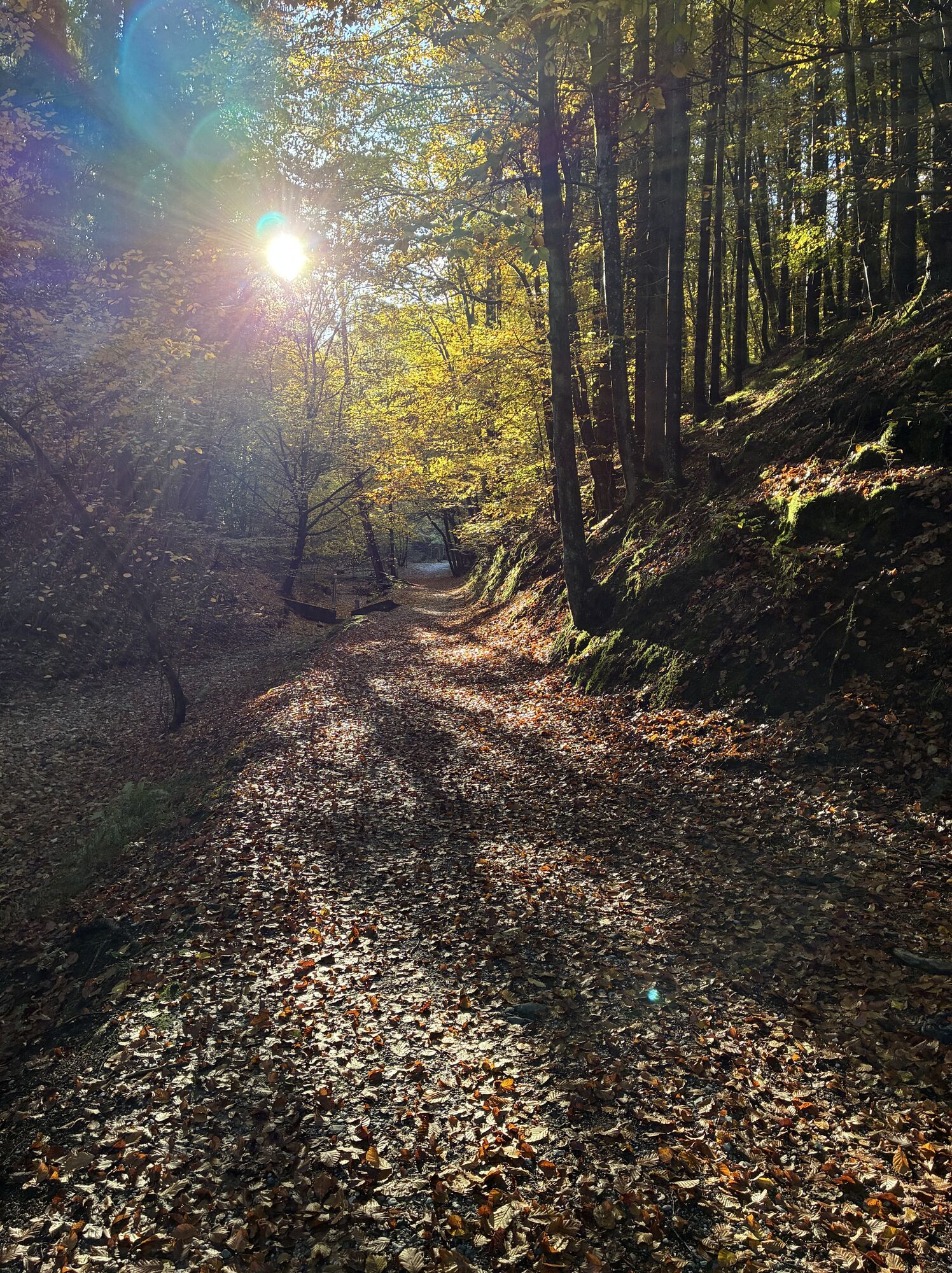
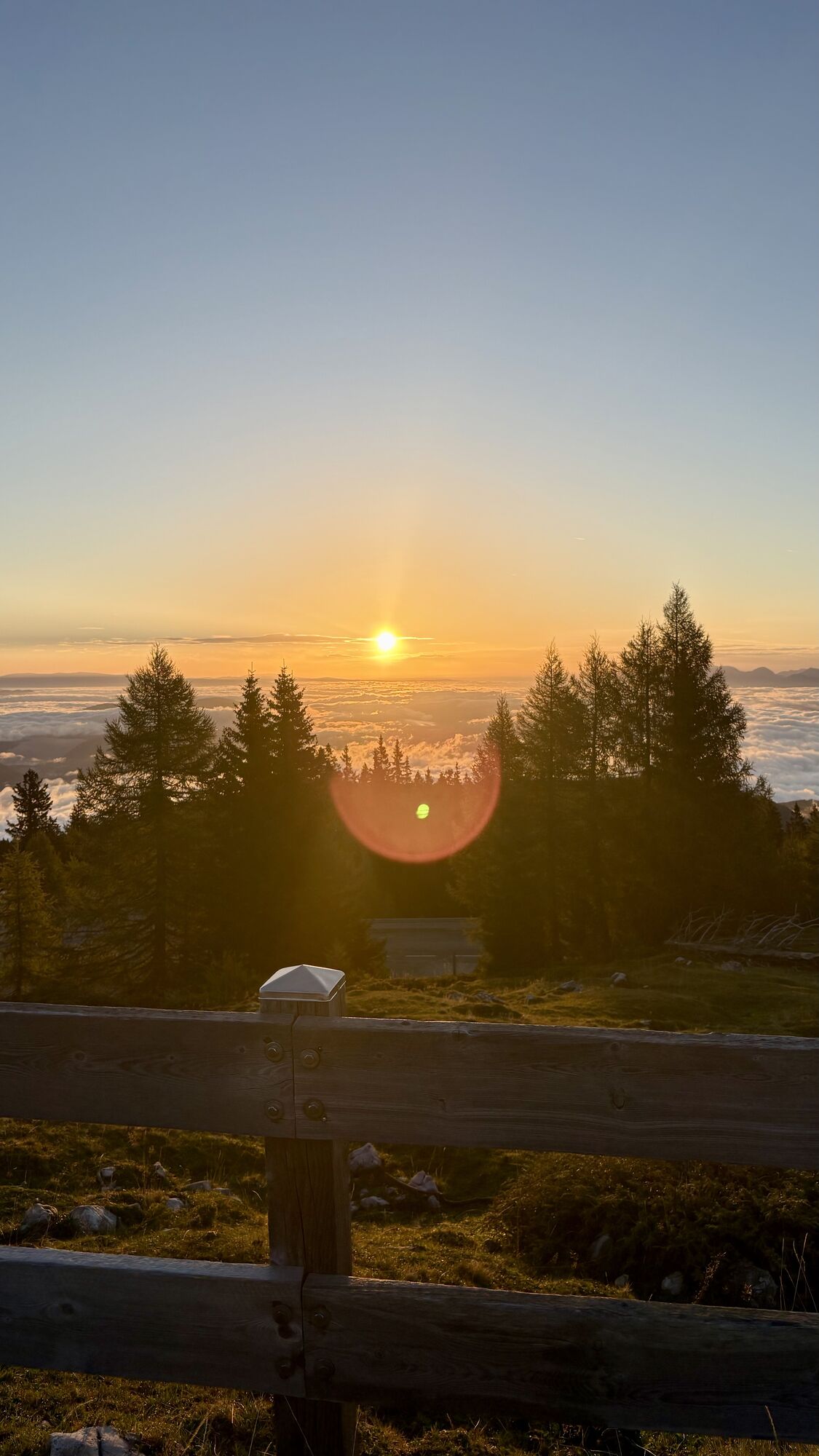
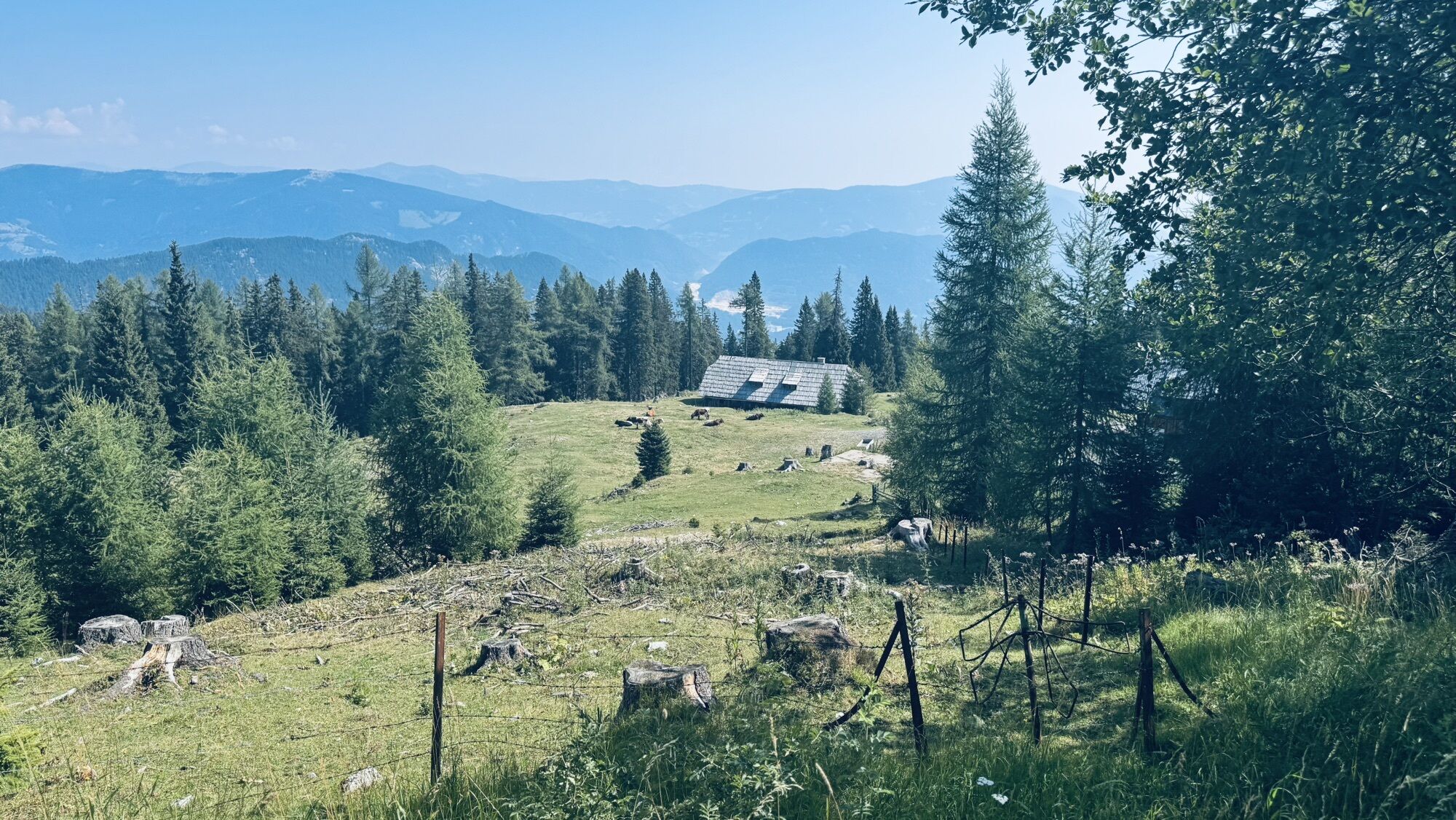
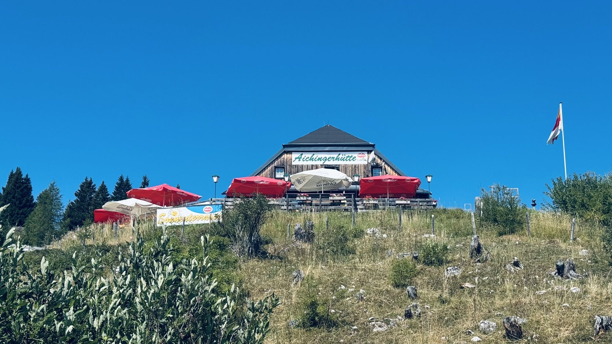
The route leads from Lake Wörthersee via Rosegg and the beginning of the Rosental to Lake Faak. At the thermal spa Warmbad-Villach, take a short breather before the ascent of around 1300 meters practically...
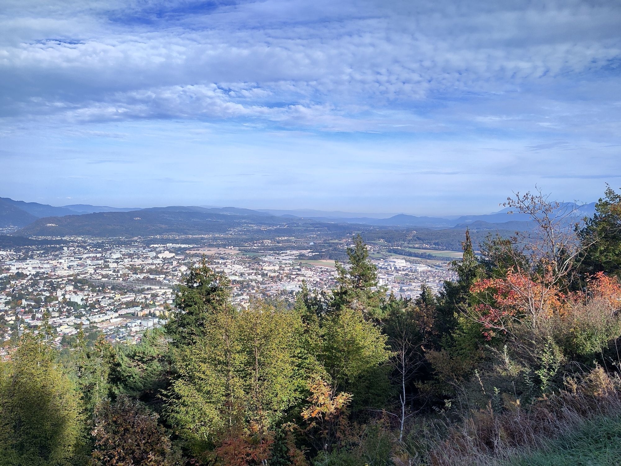
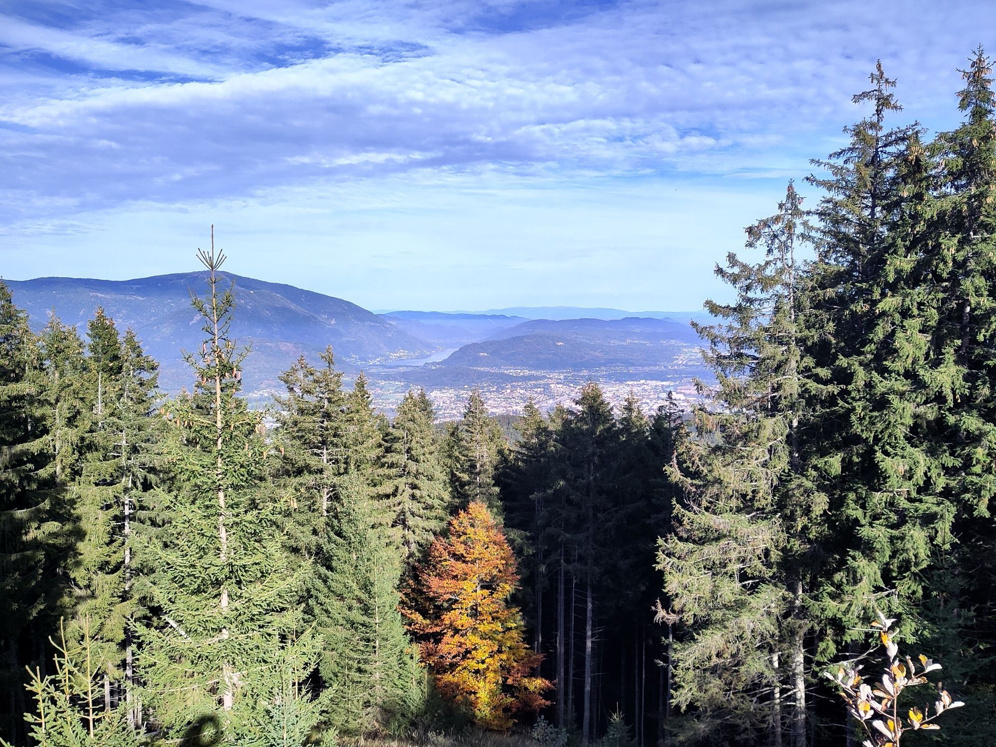
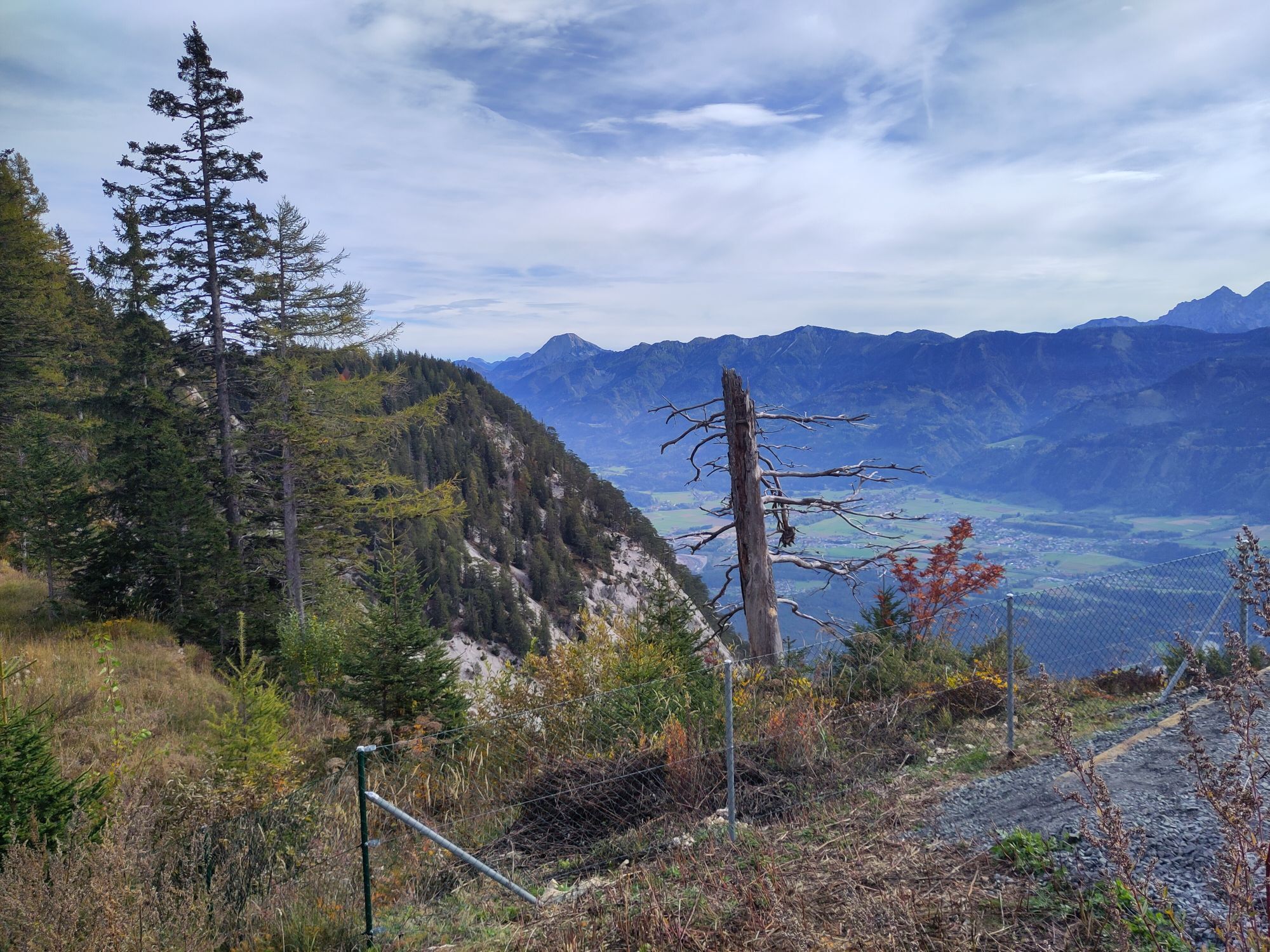
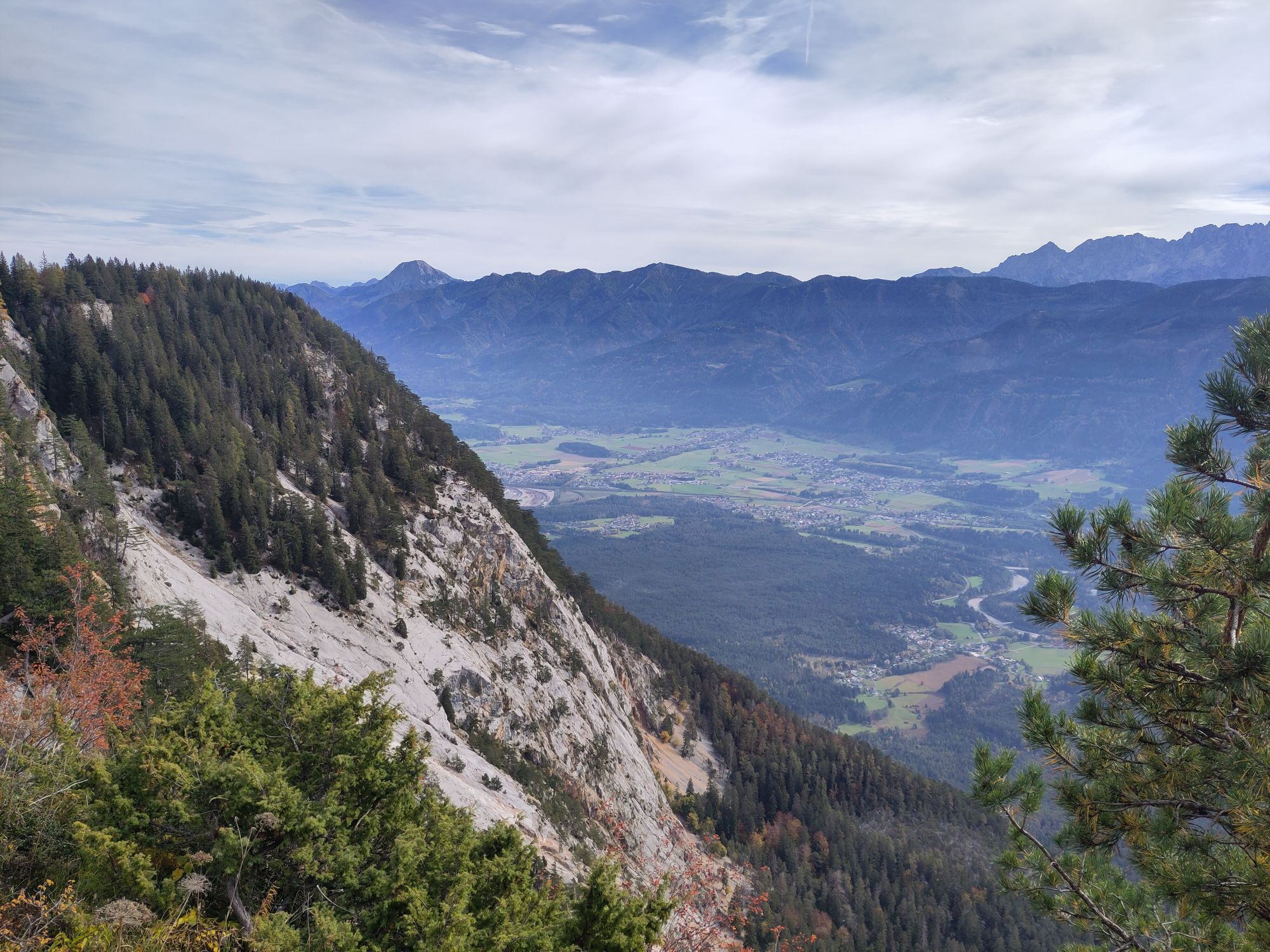
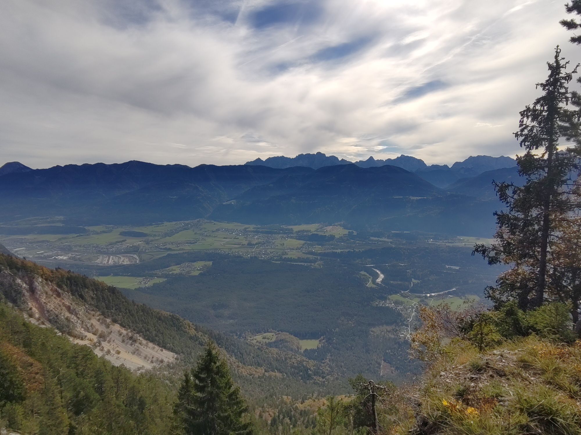
The route leads from Lake Wörthersee via Rosegg and the beginning of the Rosental to Lake Faak. At the thermal spa Warmbad-Villach, take a short breather before the ascent of around 1300 meters practically continues upwards. The Villach Alpenstraße takes you through the Dobratsch Nature Park to the highest officially drivable endpoint, the Rosstratte. During the ascent, numerous parking spaces and nice viewpoints invite you to take short breaks. Upon reaching the stage destination, the Rosstratte or the Aichinger hut below provide a typical Carinthian refreshment. The descent on the moderately steep and winding mountain road is a real pleasure. Once in the valley, you still have to tackle the final section via Villach, along a short part of the Drau cycle path, and Wernberg. Back at Lake Wörthersee, after this route you have truly earned a relaxing break in one of the trendy beach bars.


Velden - Selpritsch - Rosegg - Finkenstein - Warmbad-Villach - Möltschach - Villach Alpenstraße - Villach - Magdalenensee - Zauchen - Wernberg - Velden
Motorway A2, or B83
Carinthia S-Bahn (line S1)
Velden Ice Rink
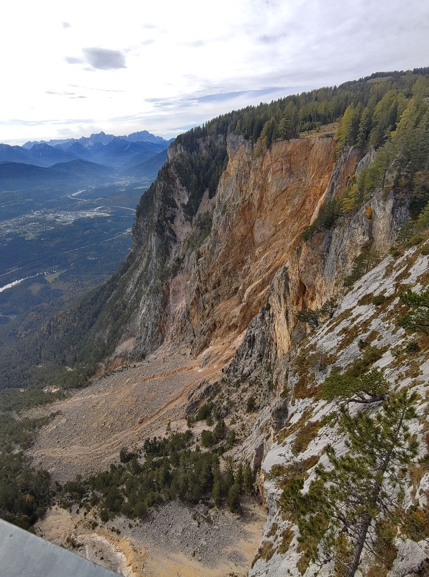
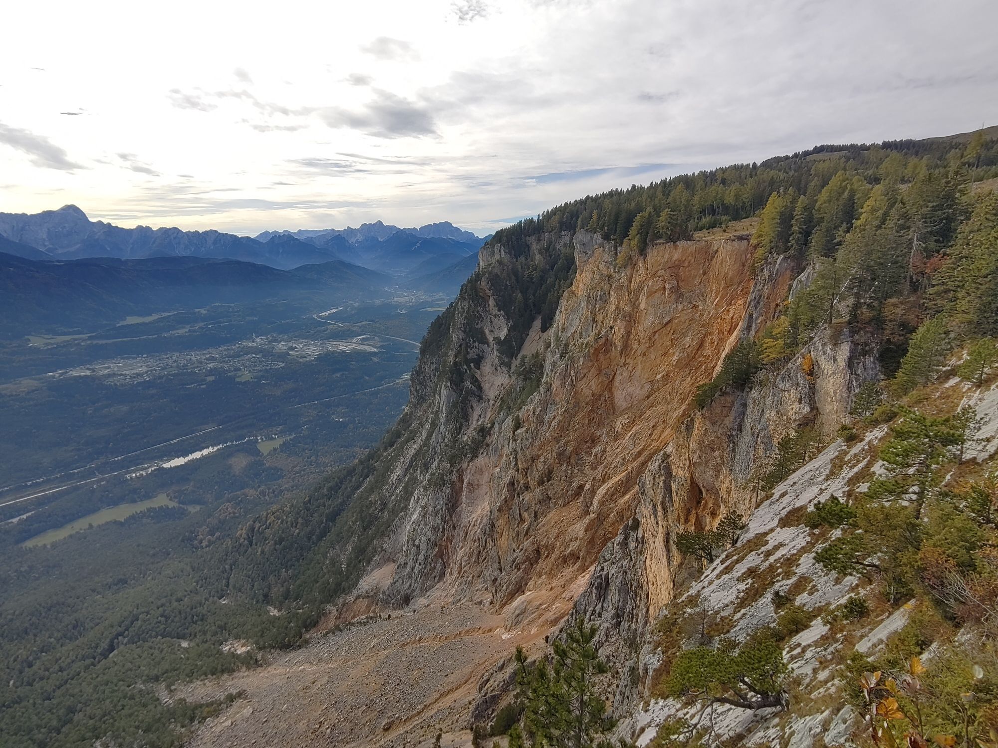
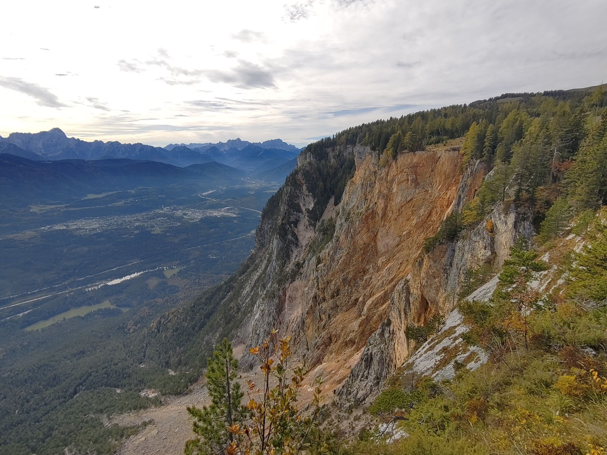
- Viewing platform at the Alpengarten parking lot with a view of the Dobratsch south wall landslide area

Spletne kamere s turneje
-
Velden - Bootswerft Schmalzl
-
Faaker See
-
Faaker See
-
Faaker See
-
Faaker See
-
Faaker See
-
Faaker See
-
Annenheim/Ossiacher See
-
Landskron
-
Wörthersee / Saag
-
Villach - Friedensbrücke
-
Dobratsch
-
Dobratsch
-
Velden - Barry Memle
-
Velden - Barry Memle
-
Dobratsch
-
Villach
-
Burgruine Finkenstein
-
Velden Kurpark / Karawankenplatz
-
Strandpark Velden
-
Golf Velden am Wörthersee
-
Hotel Post Wrann
-
Falkensteiner Schlosshotel Velden
-
Villacher Alpenstraße - Rosstratte
-
Villacher Alpenstraße
-
Villacher Alpenstraße
-
Faaker See / Haus am See
-
Kathreinkogel - Schiefling am Wörthersee
-
Bertahütte

Dejavnosti na poti
-

Bad Bleiberg, Kärnten/Österreich
10.08.2026 – Kolesarjenje -
Villach, Kärnten/Österreich
24.07.2026 – Cestno kolo -
Villach, Kärnten/Österreich
17.06.2026 – Pohodništvo -
Villach, Kärnten/Österreich
17.05.2026 – Šotolinasto kolo -
Villach, Kärnten/Österreich
01.10.2025 – E-kolesa -


Villach, Kärnten/Dobratsch Rosstratte
12.04.2025 – Mountainbike
Priljubljeni izleti v okolici
-
4.5
Auf den Dobratsch mit der ganzen Familie
Pohodništvo 8.40 km -
4.7
Jezera Fusine
svetlobaPohodništvo 5.43 km -
5.0
Amberg: Palnock 1901m, Schwarzsee, Rundstrecke
srednjaPohodništvo 7.94 km -
4.9
Orrido dello Slizza, Tarvisio, Italië
svetlobaPohodništvo 2.65 km -
4.5
Mallestiger Mittagskogel
srednjaPohodništvo 8.17 km -
4.8
Schwarzkogel-Runde über Jepzasattel Schwarzkogel, Mallestiger Mittagskogel
srednjaPohodništvo 13.4 km -
4.3
Lake circular trail
svetlobaNordic Walking 9.85 km -
4.2
Schwarzsee circular hiking trail
srednjaPohodništvo 7.79 km -
4.7
Rotschitza Klamm Klettersteig B/C
srednjaVia ferrata 3.73 km -
4.7
Baumgtn. Höhe, Mallestiger Mittags- und Schwarzkogel
težkoZimsko pohodništvo 10.7 km

Pohodništvo in sledenje


Ne zamudite ponudb in navdiha za naslednje počitnice
Vaš e-poštni naslov je bil dodan na poštni seznam.


