







E-Bike Route "Wörthersee - Ossiacher See"

Stopnja težavnosti: 3
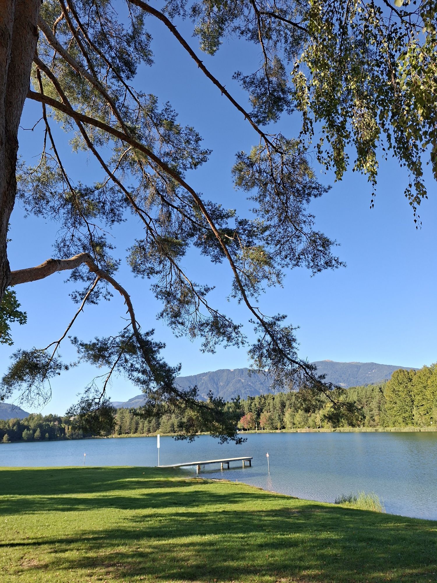
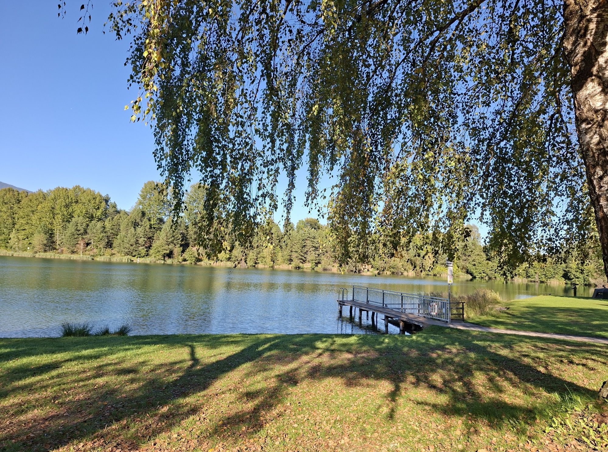
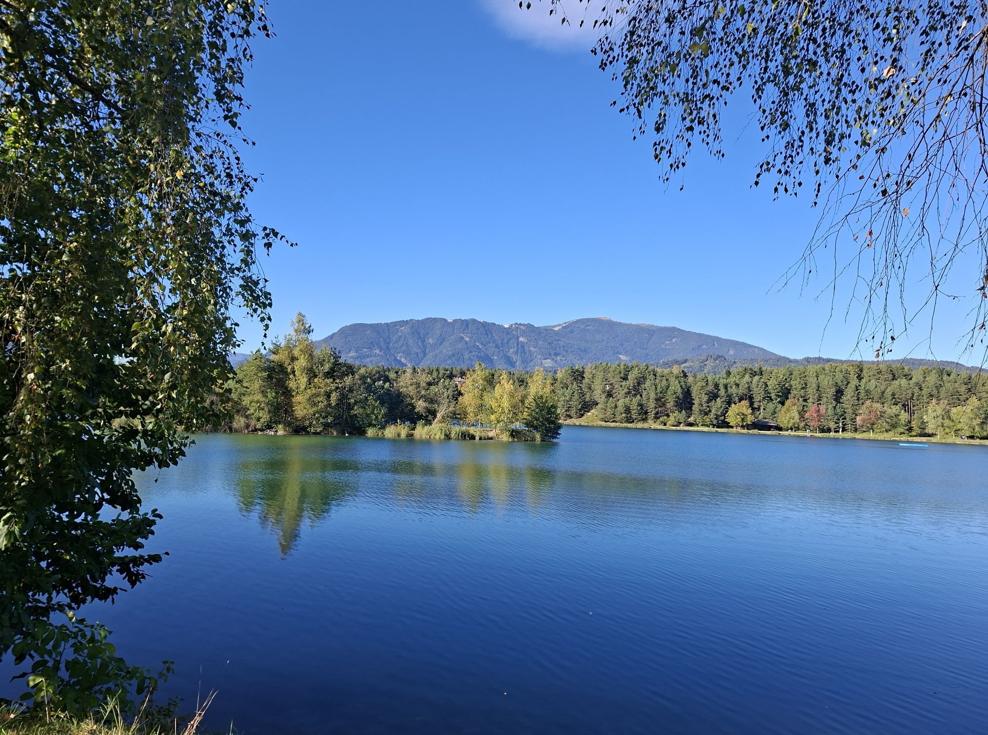
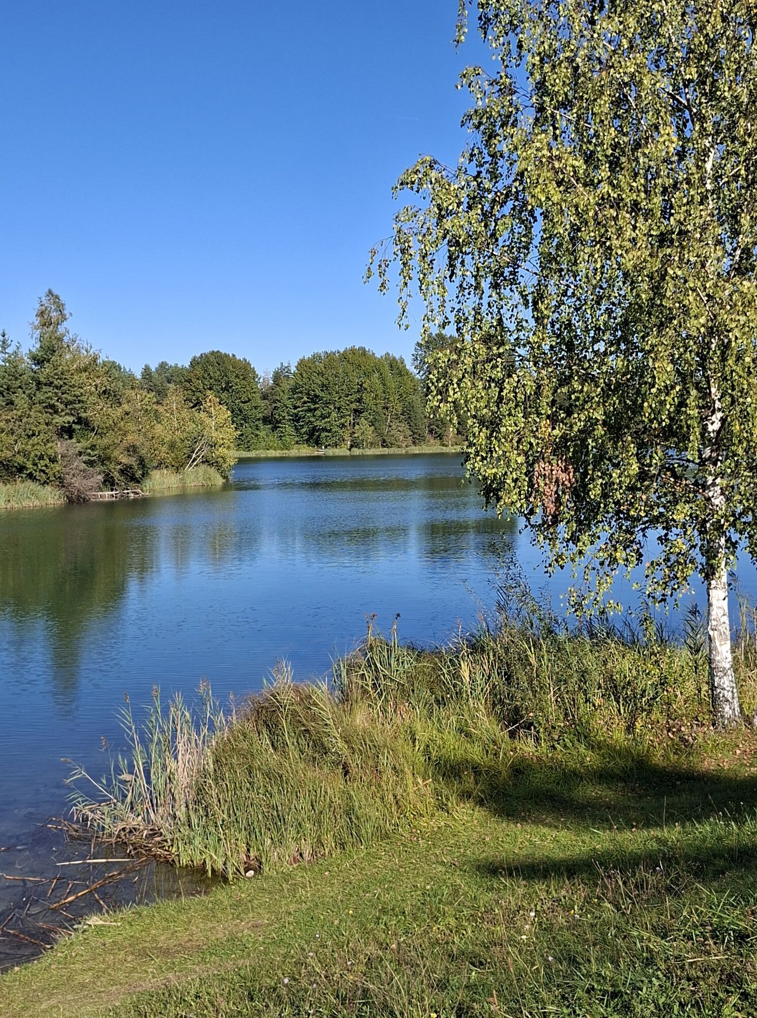
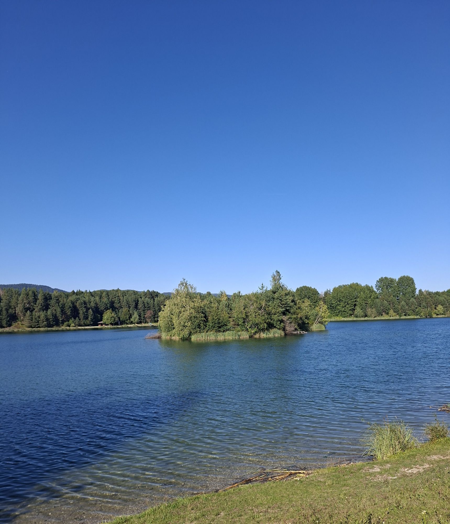
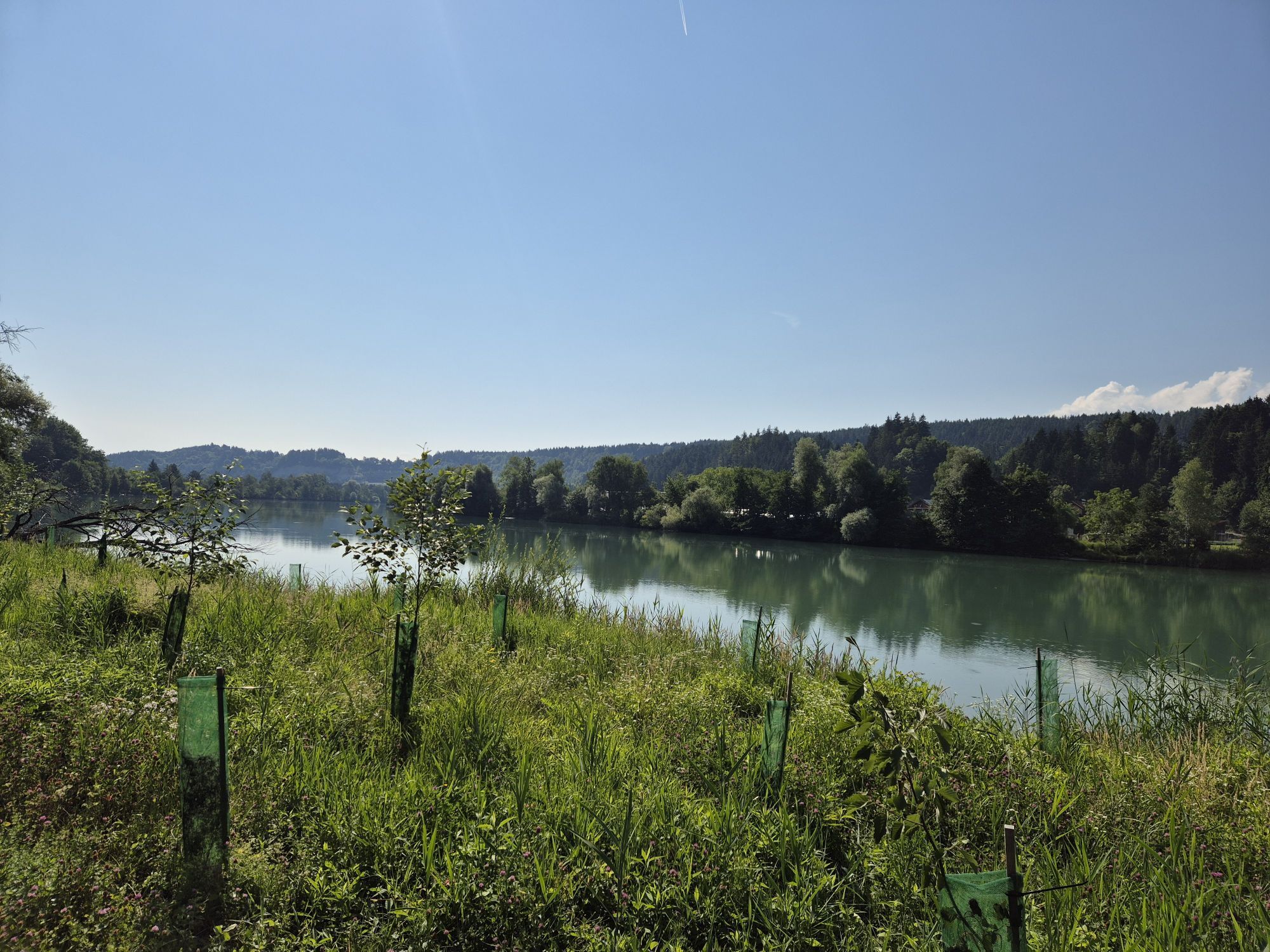
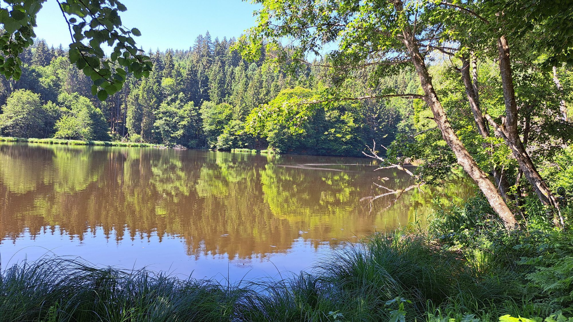
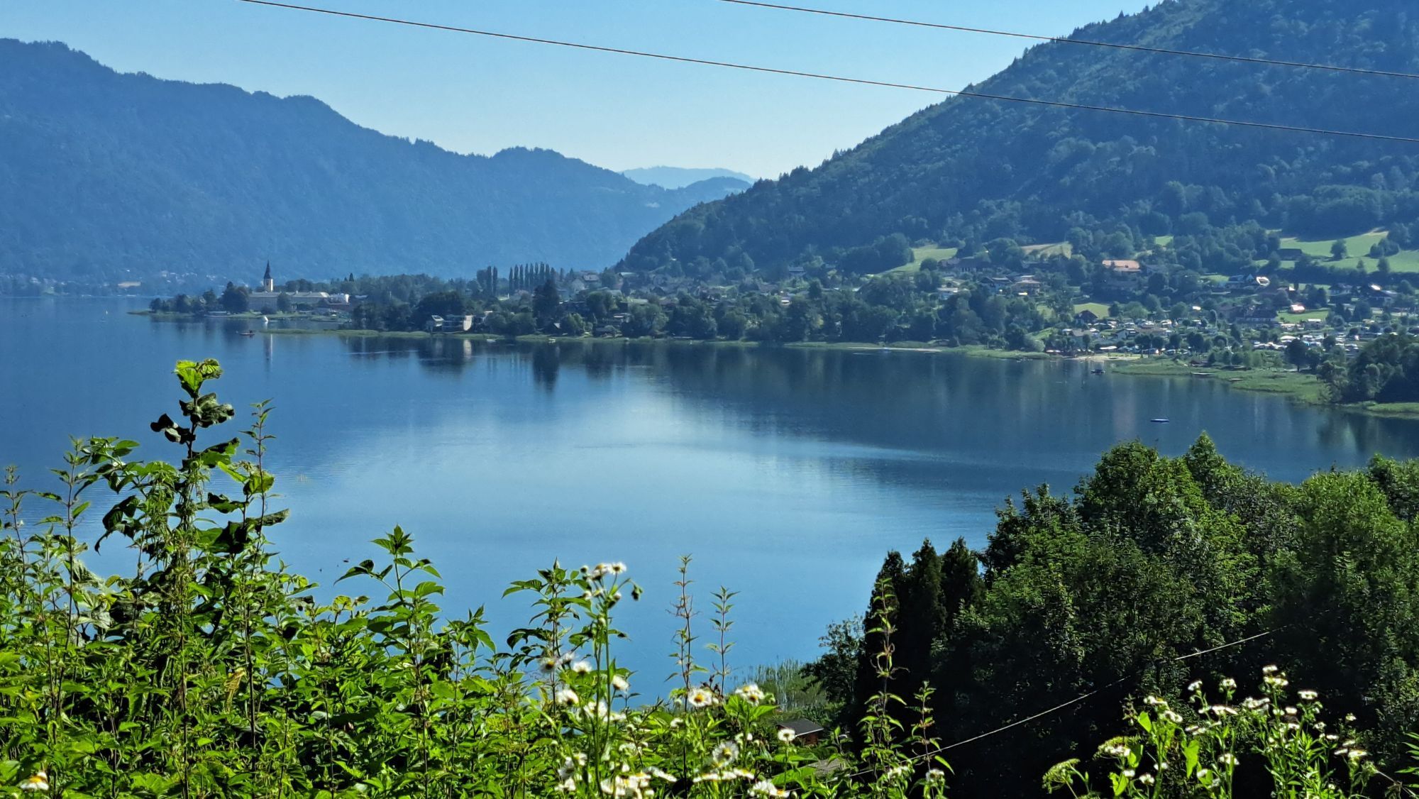
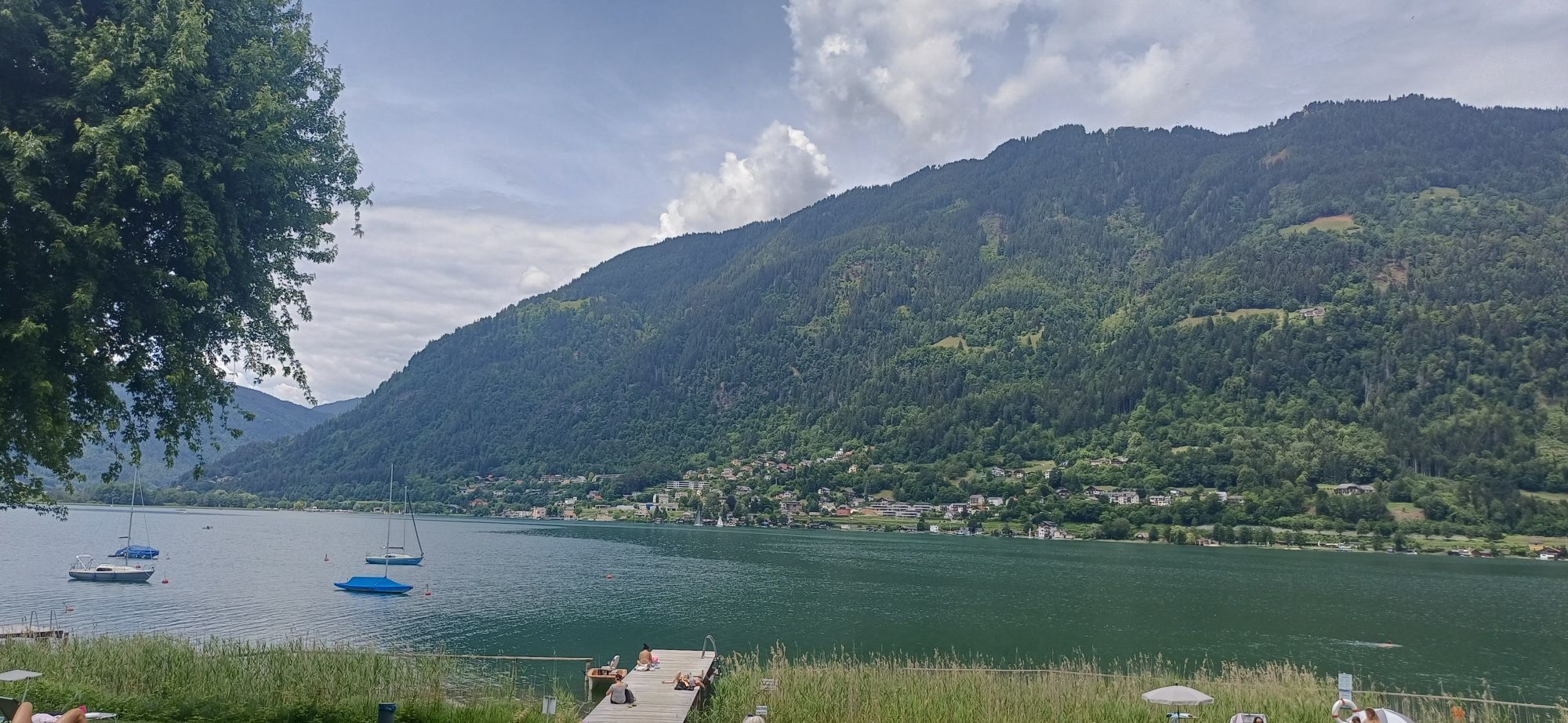
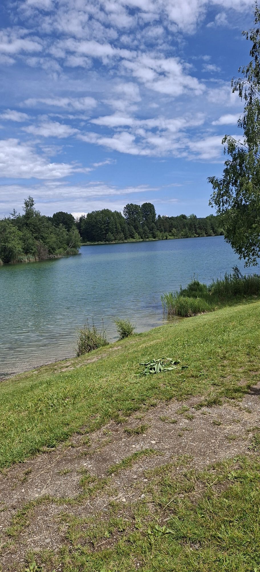
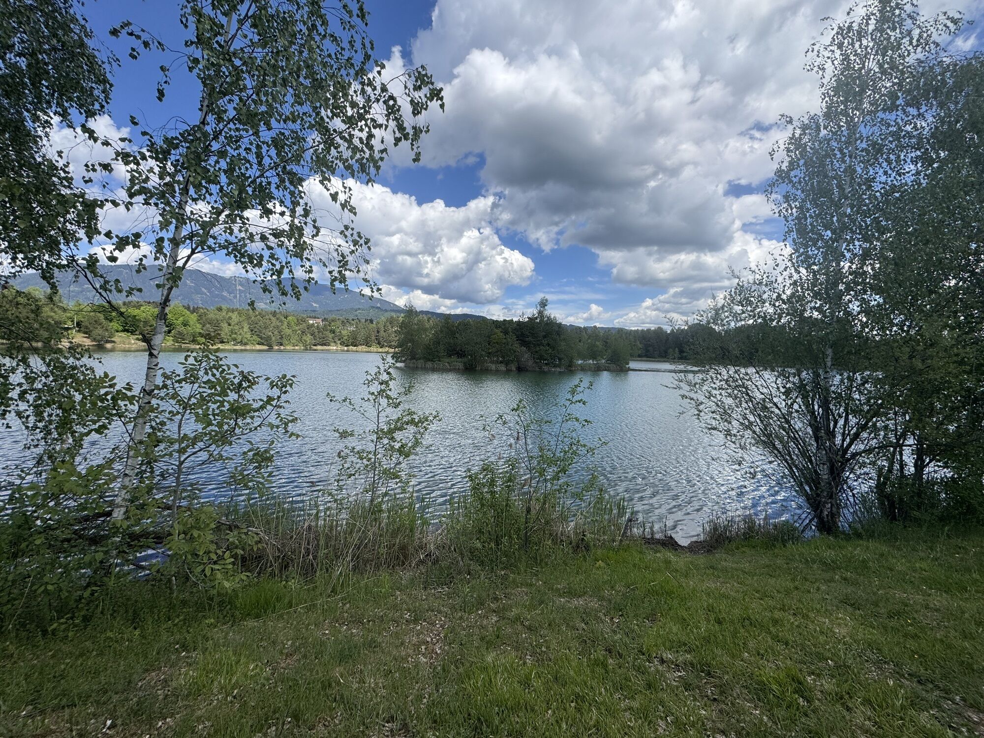
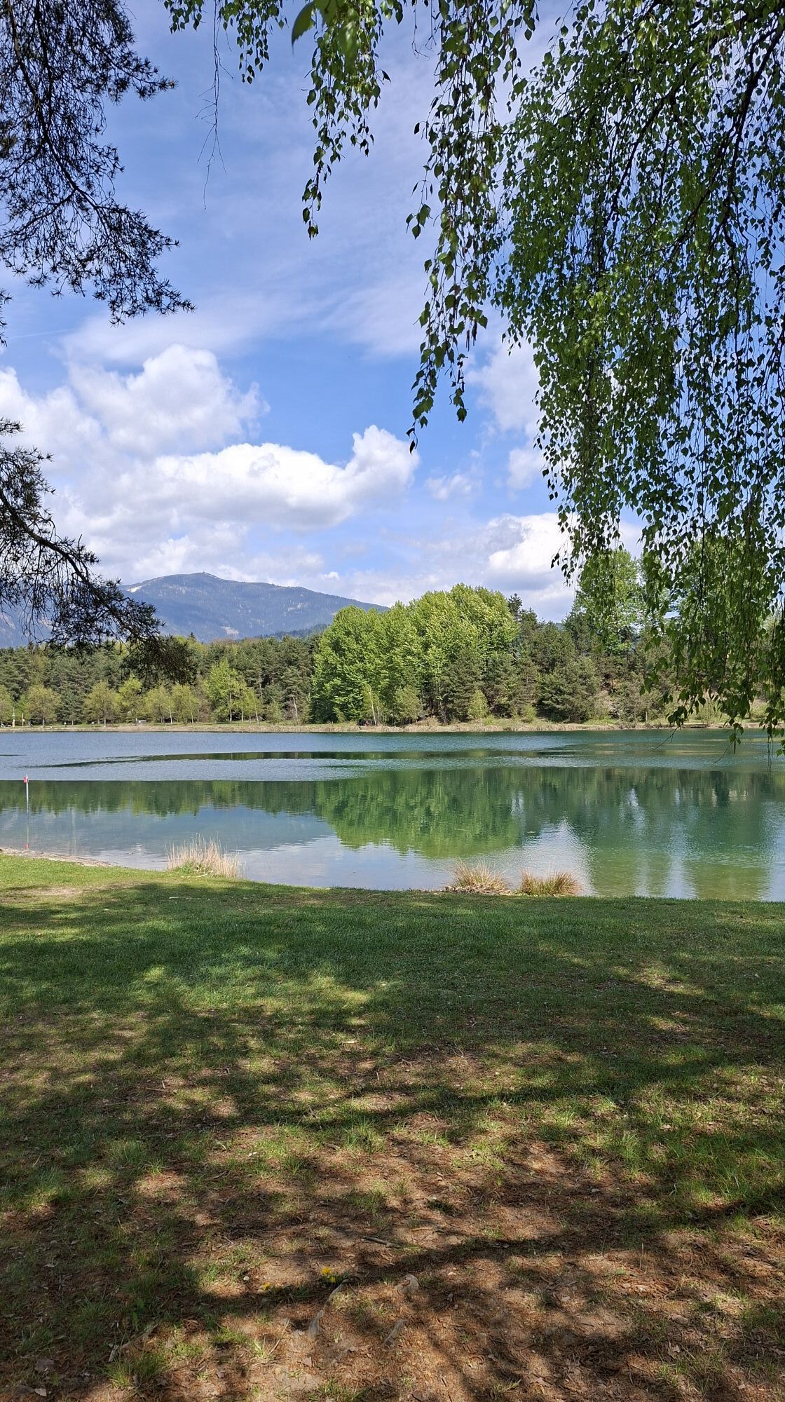
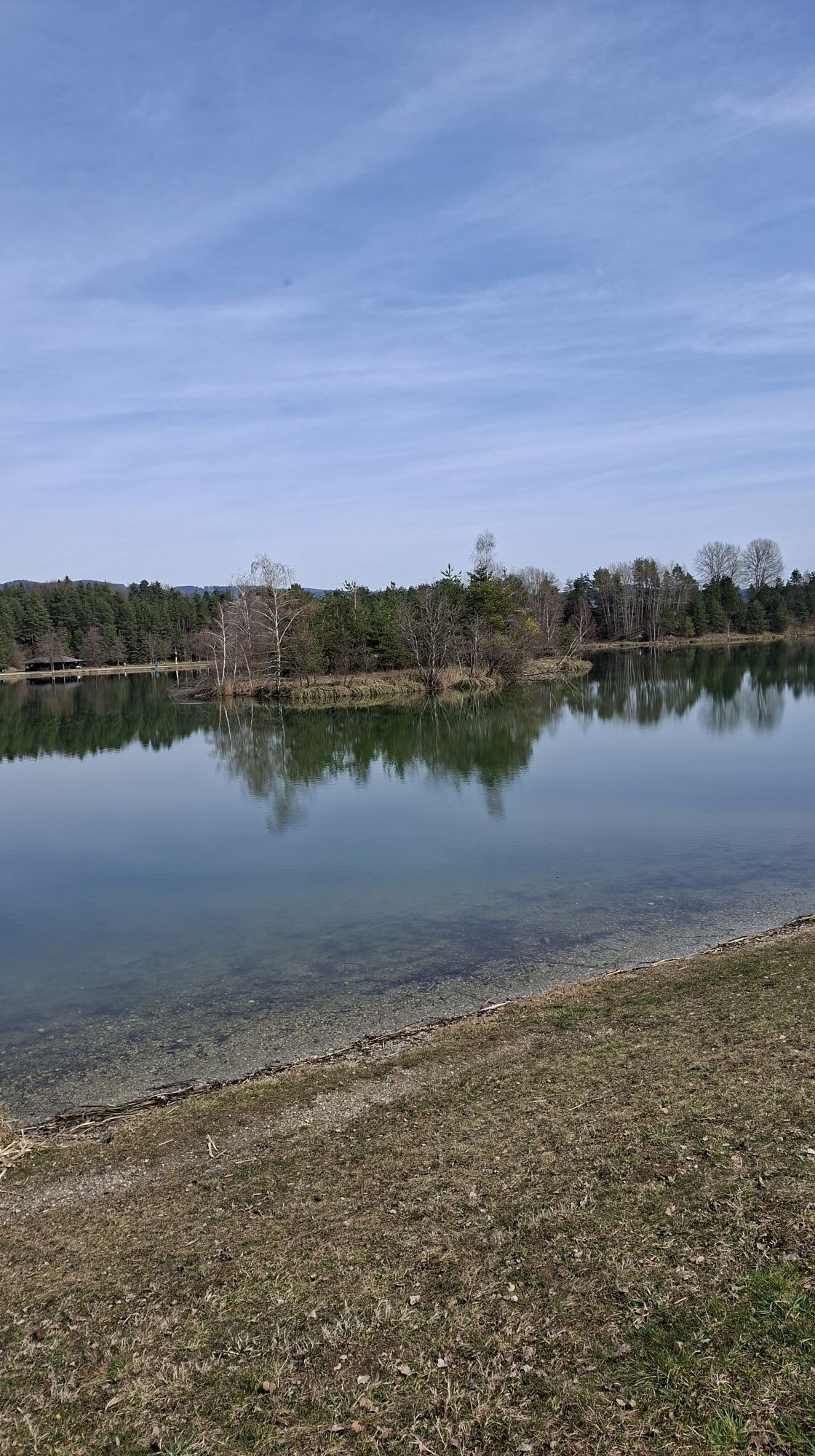
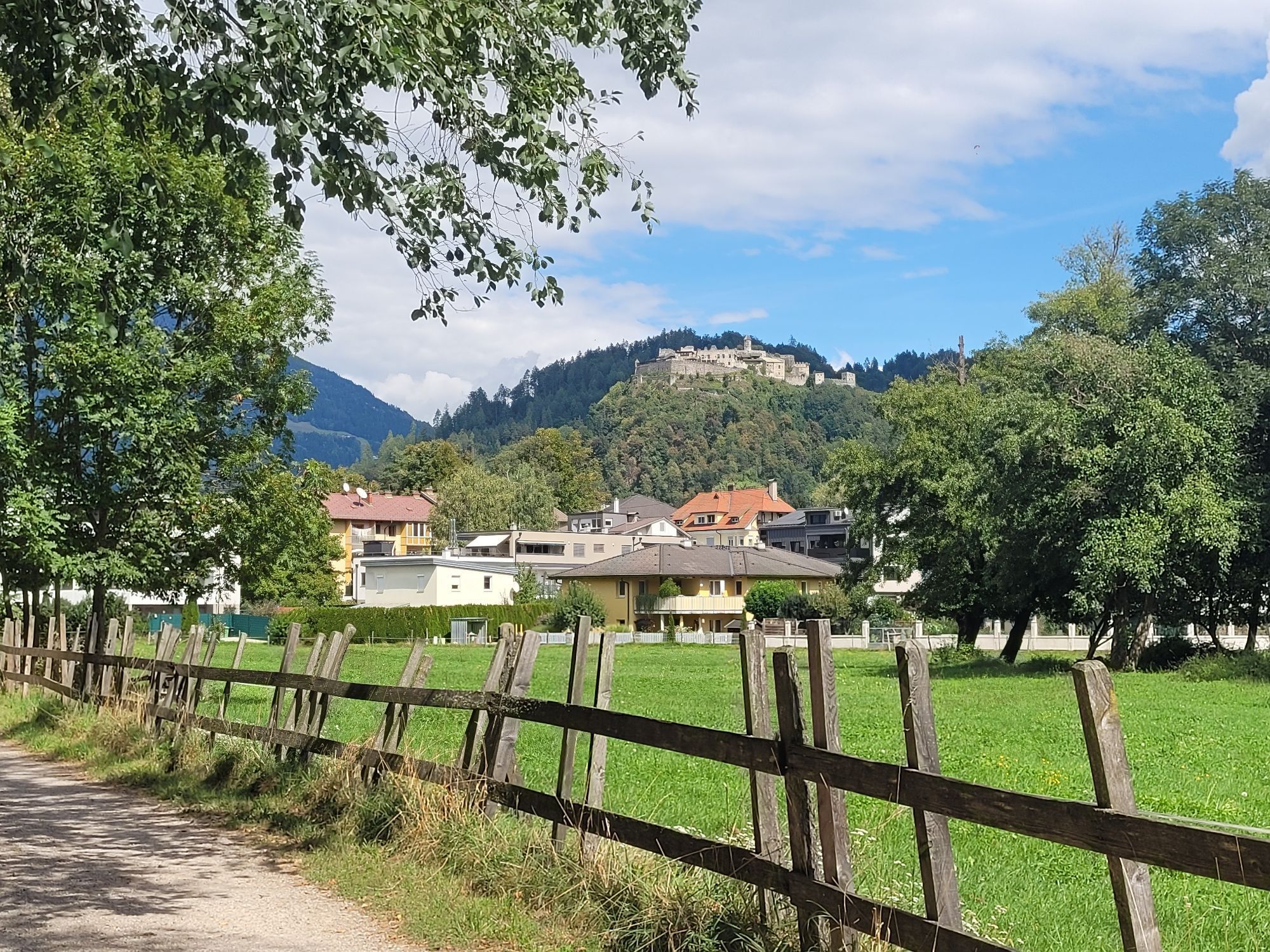
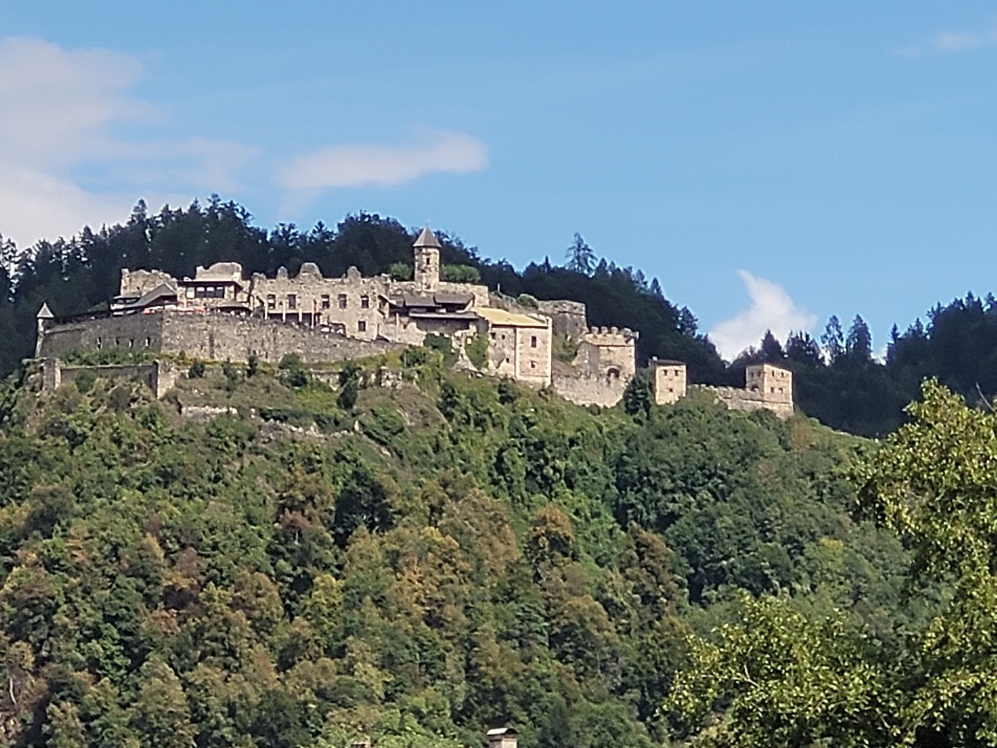
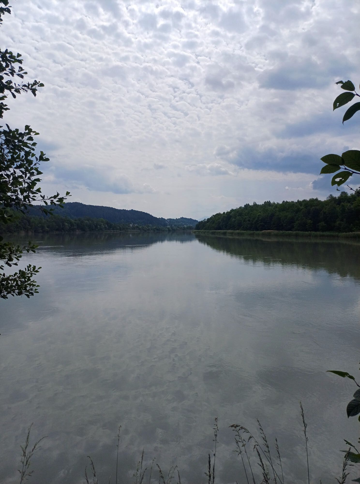
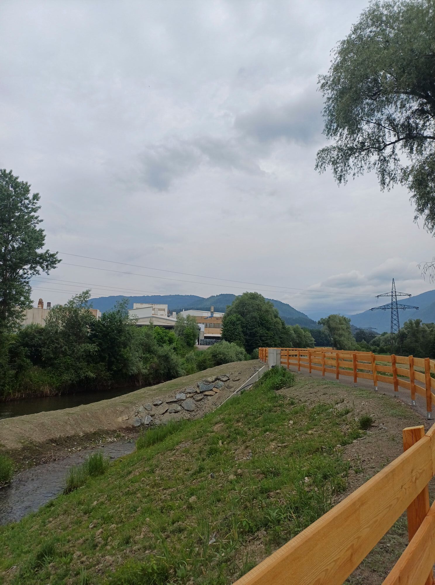
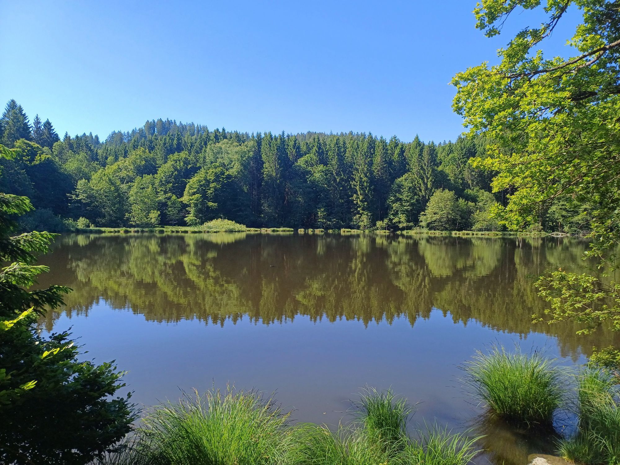
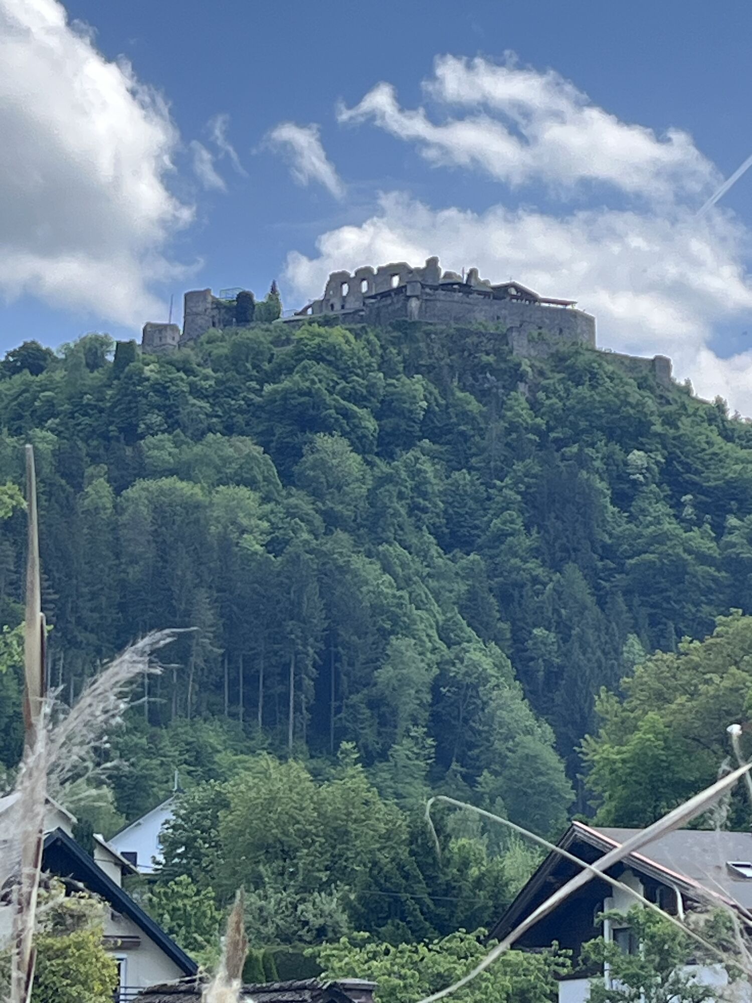

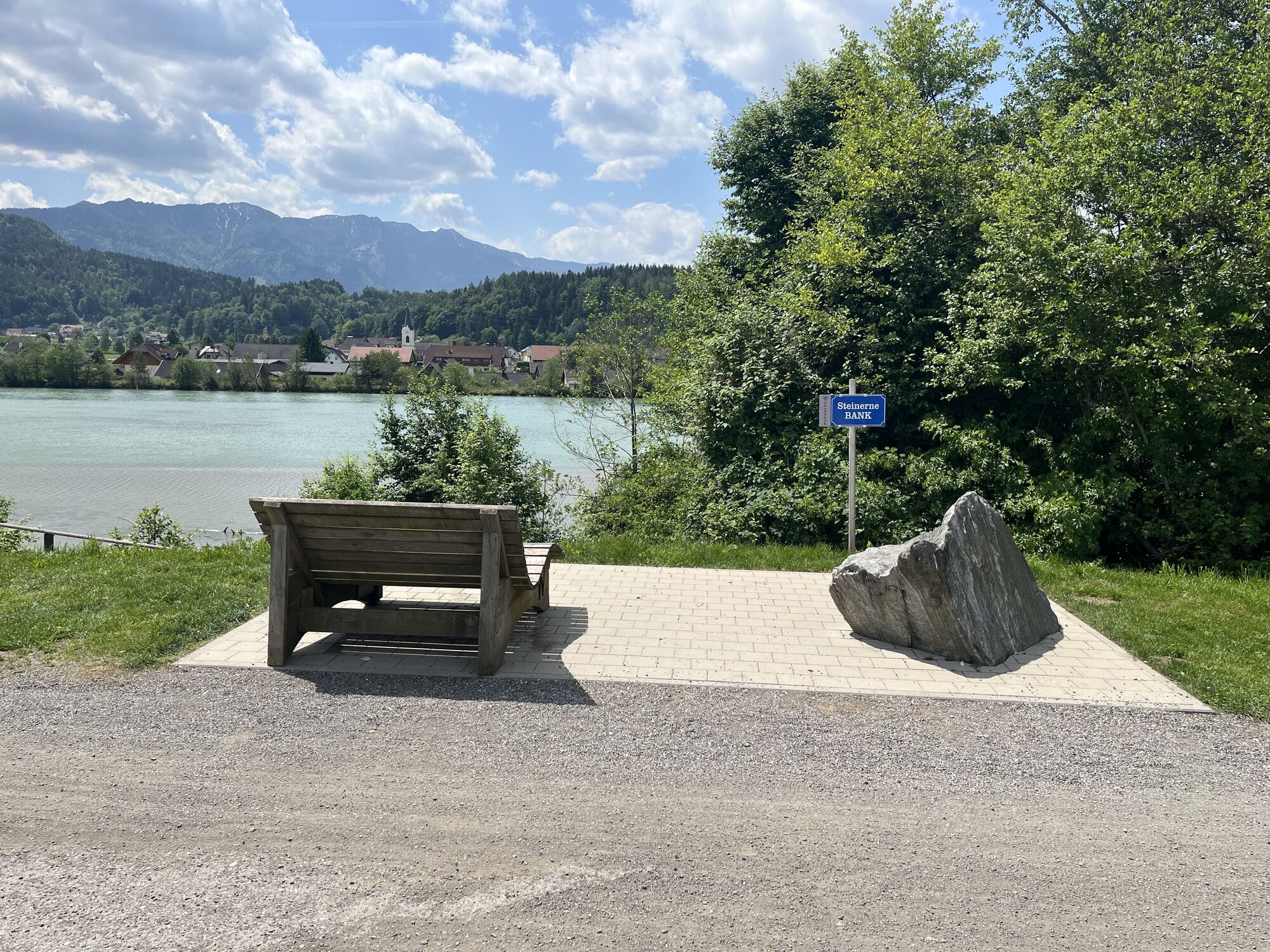
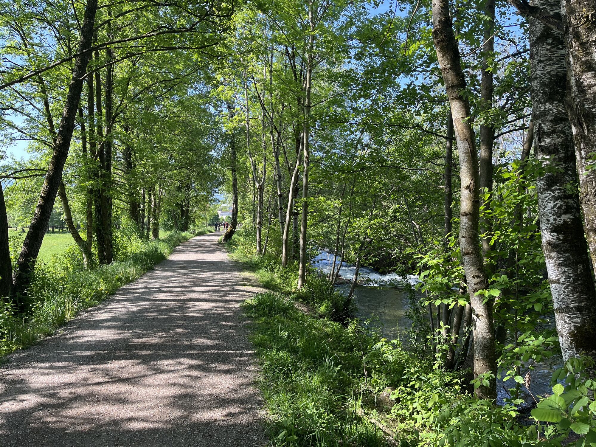
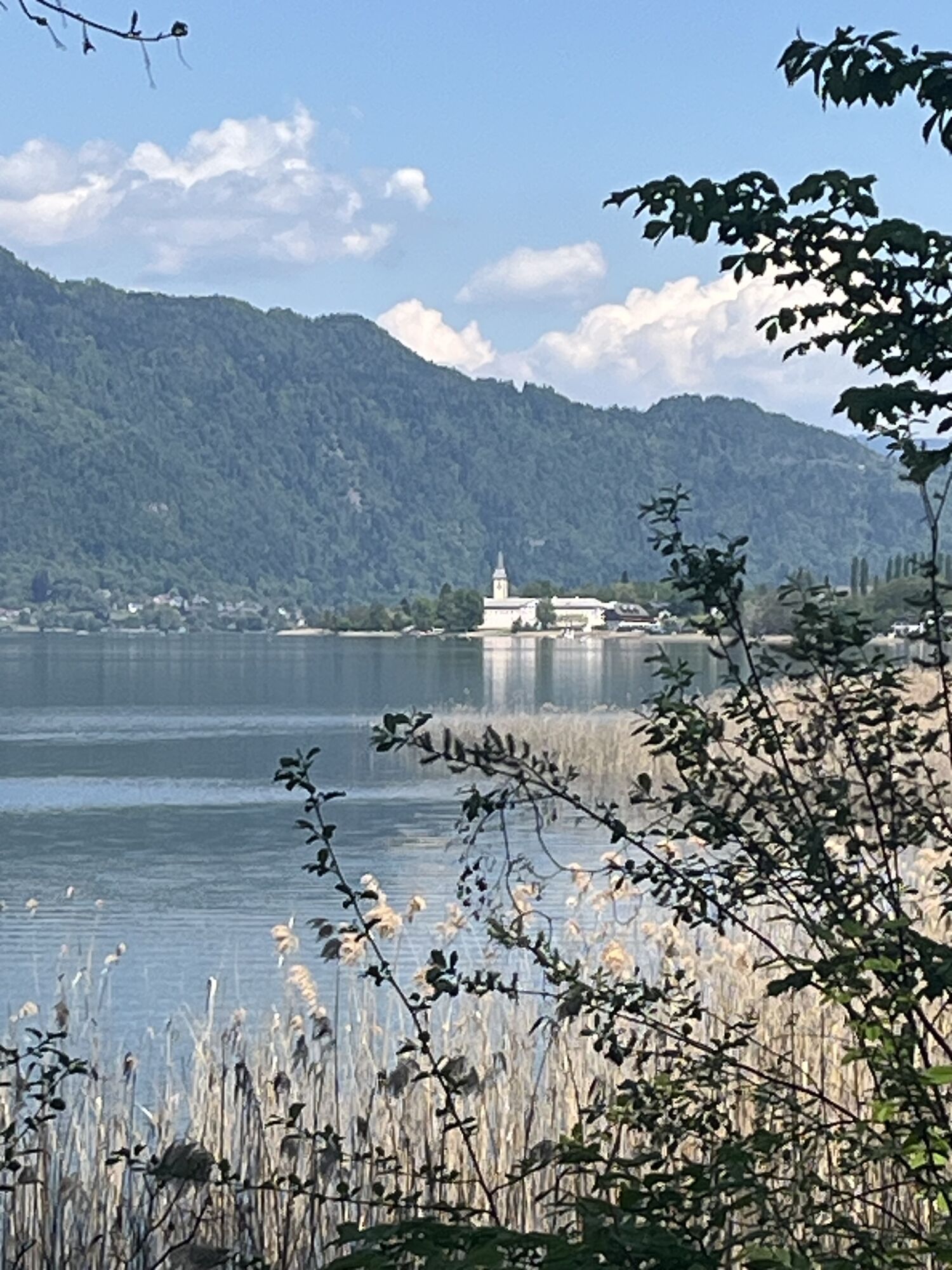
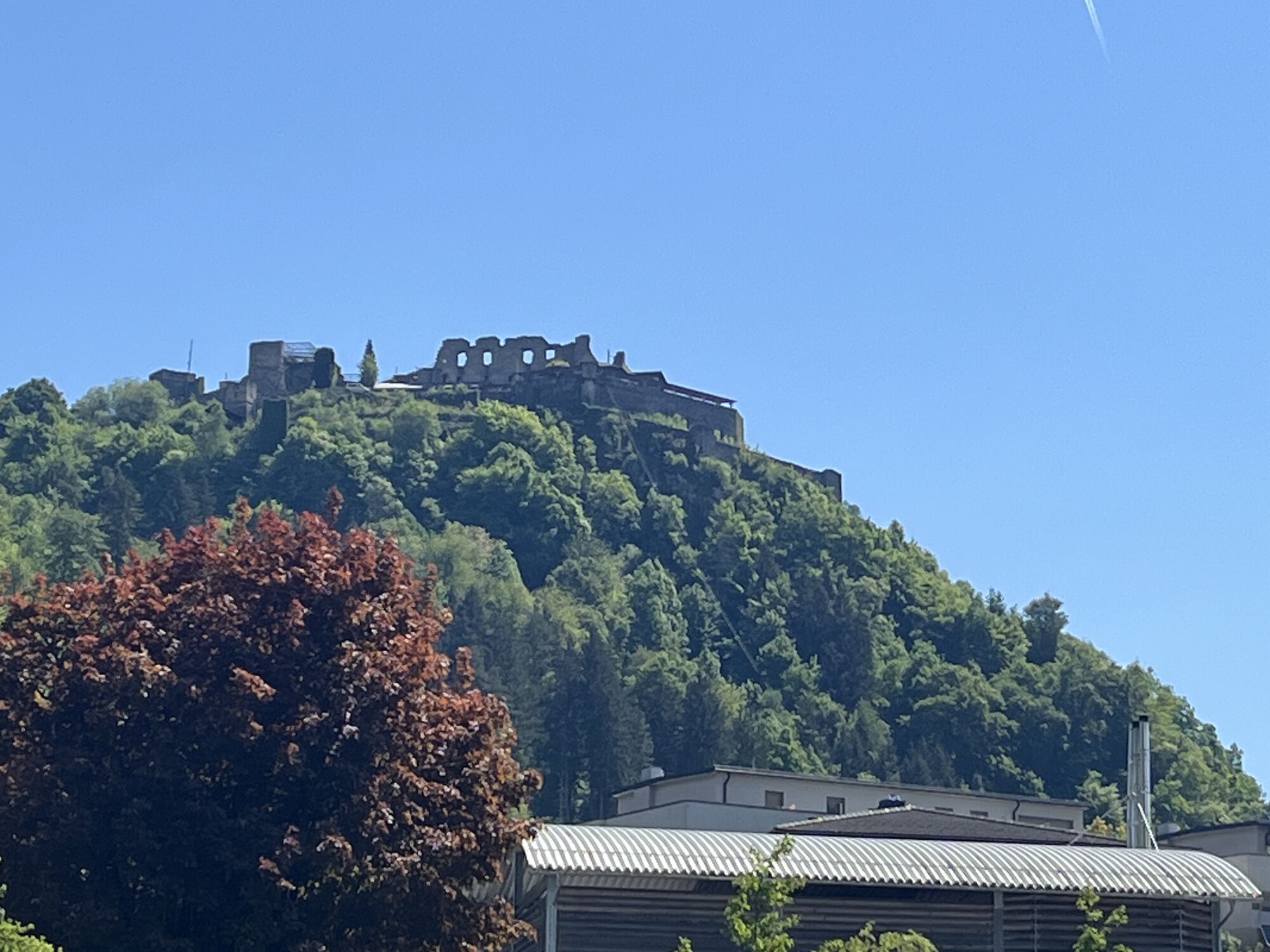

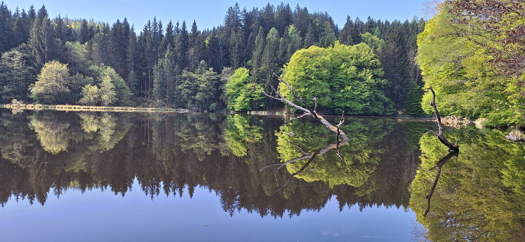
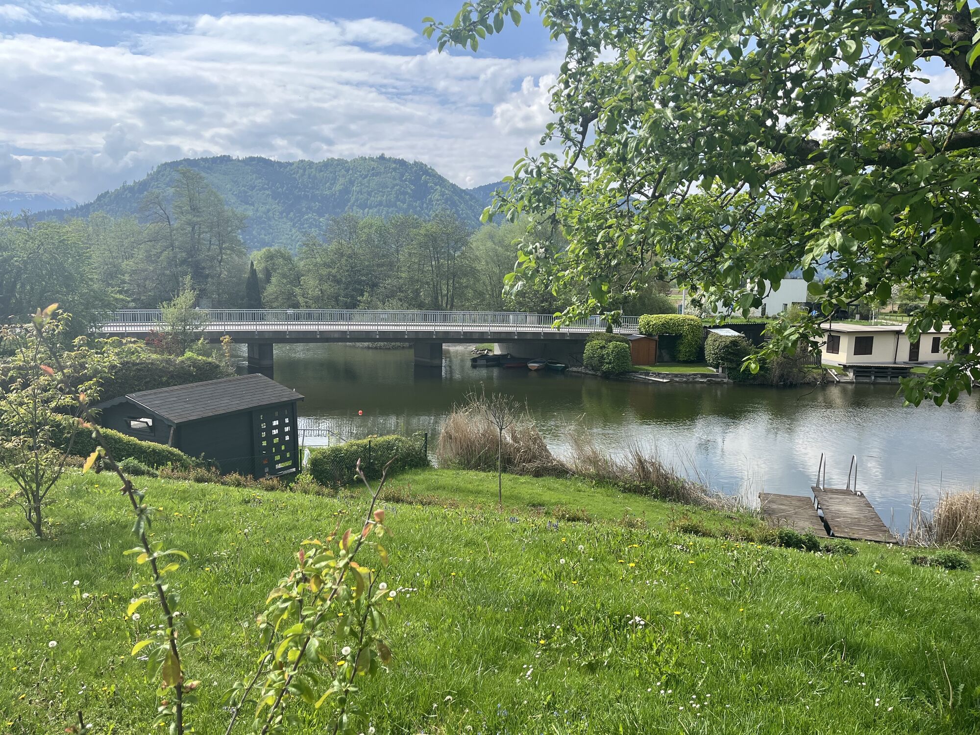
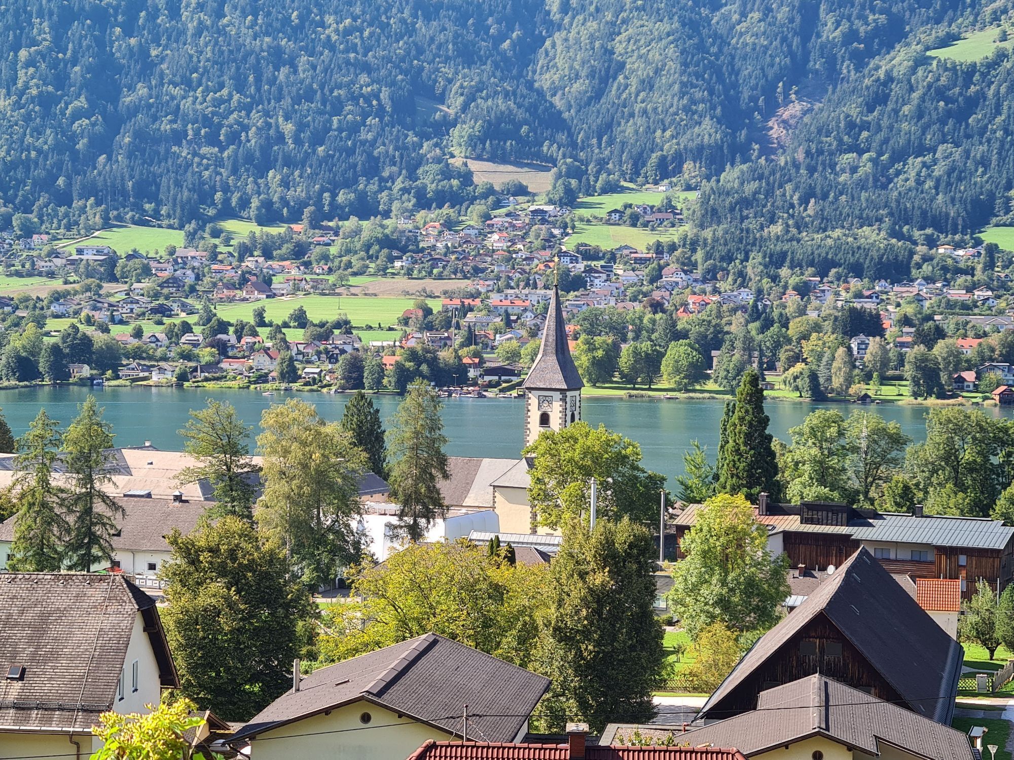
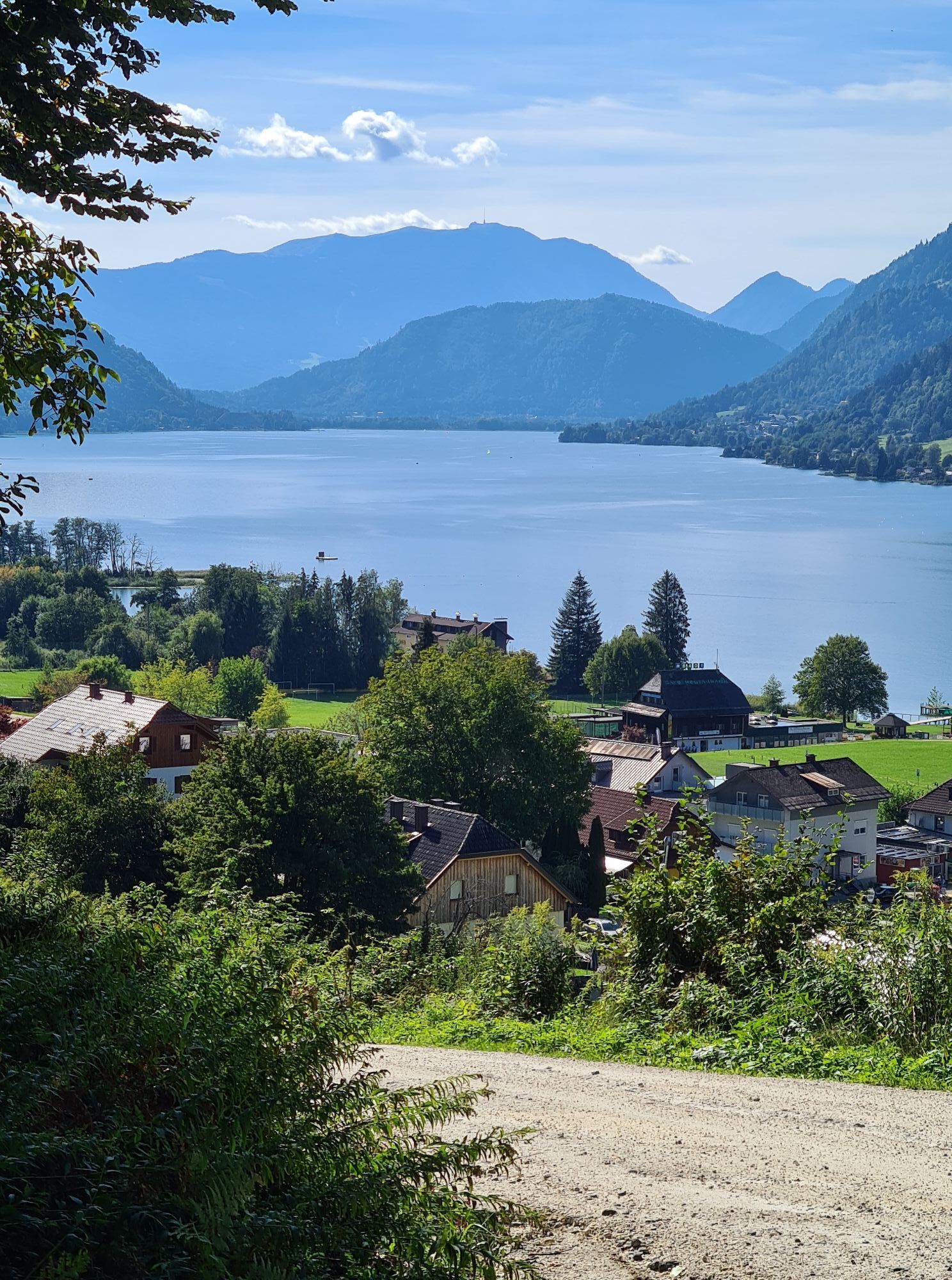
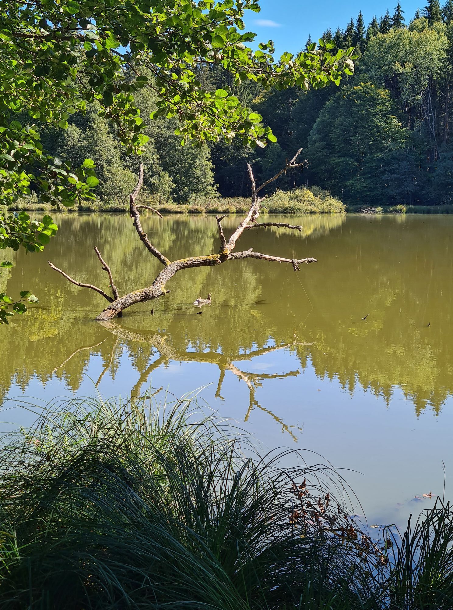
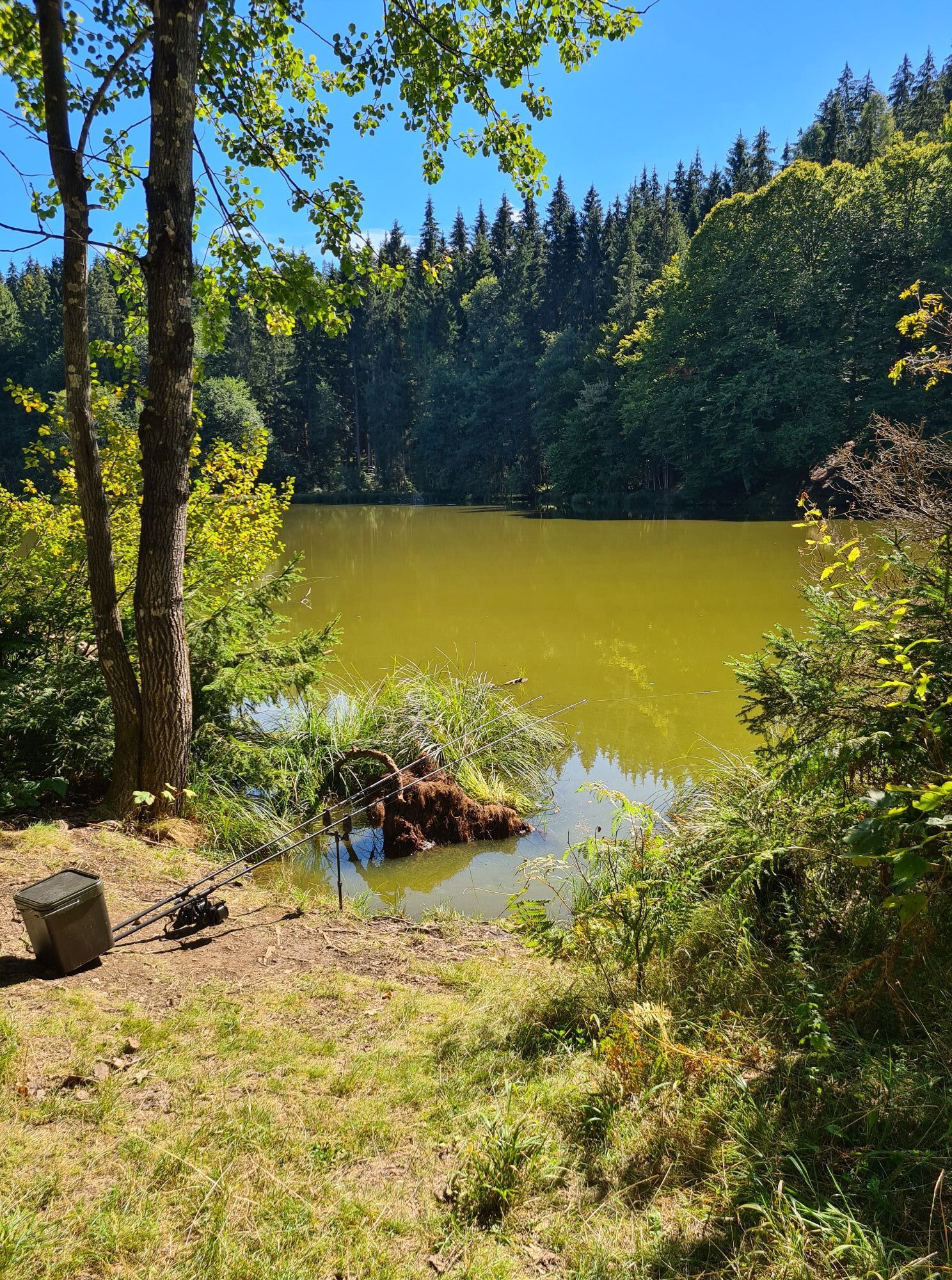
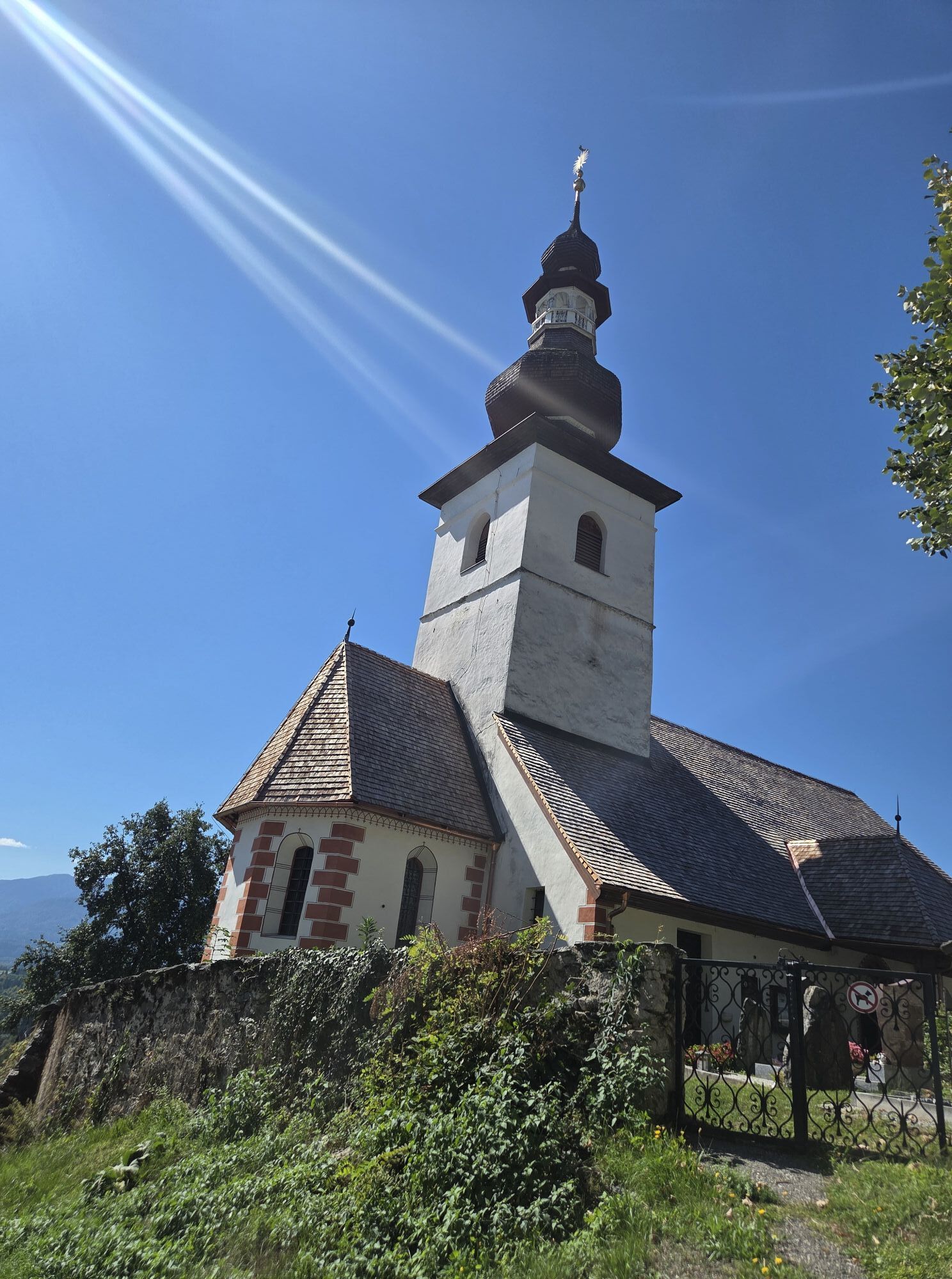
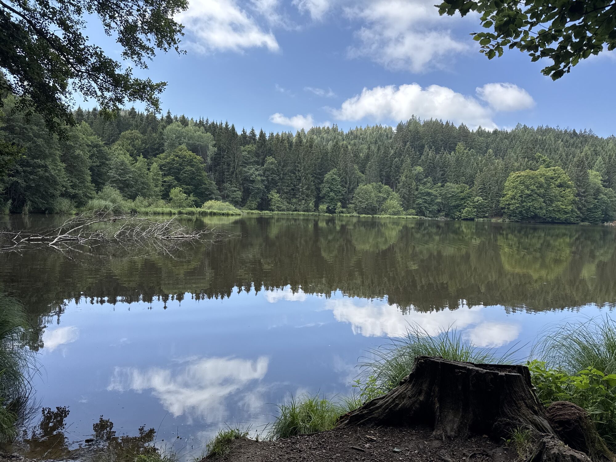
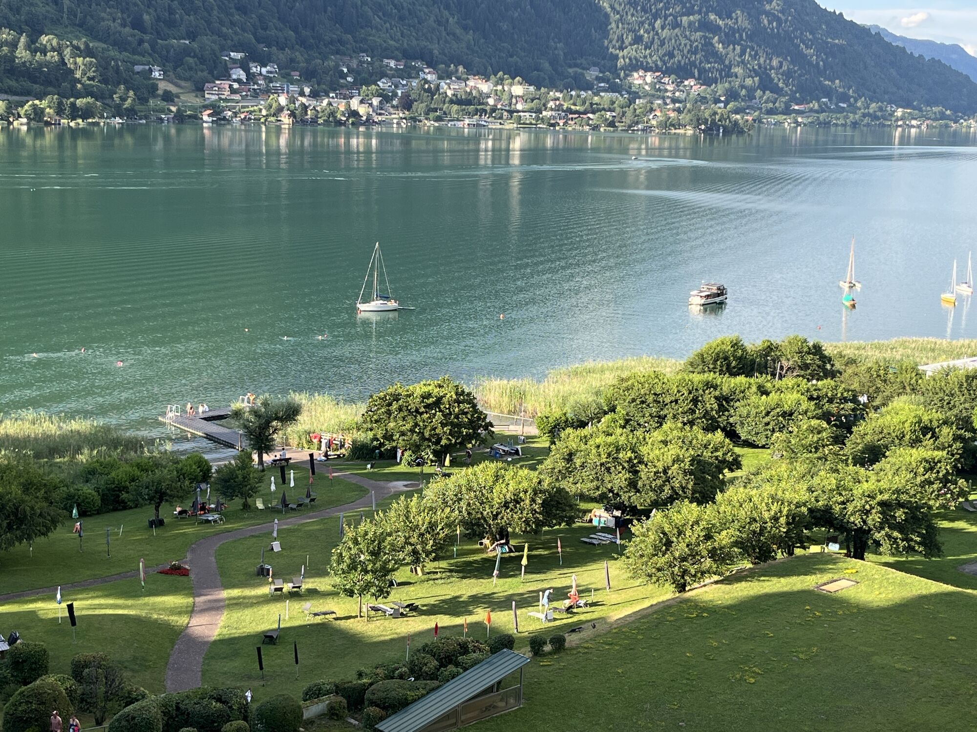
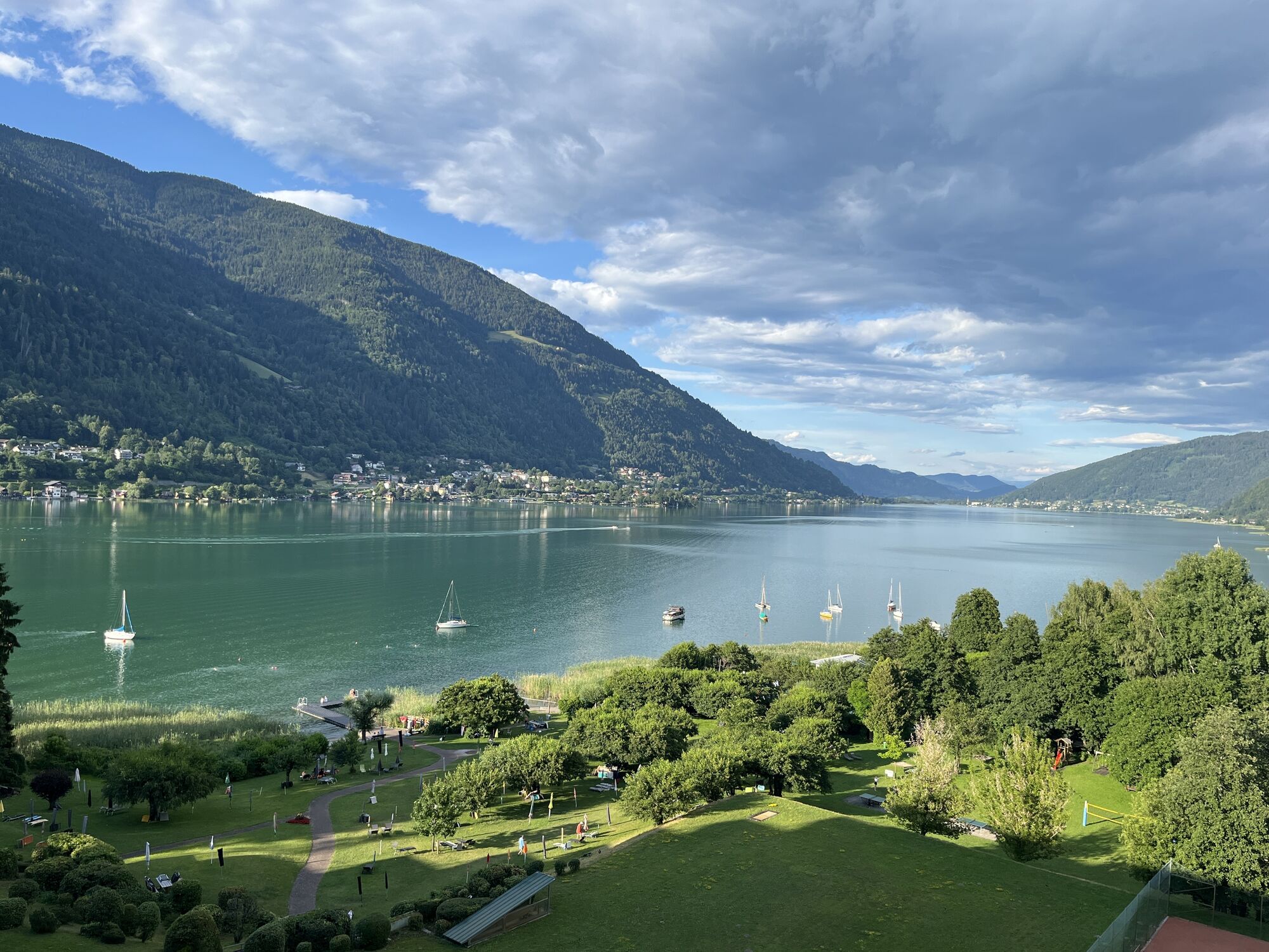
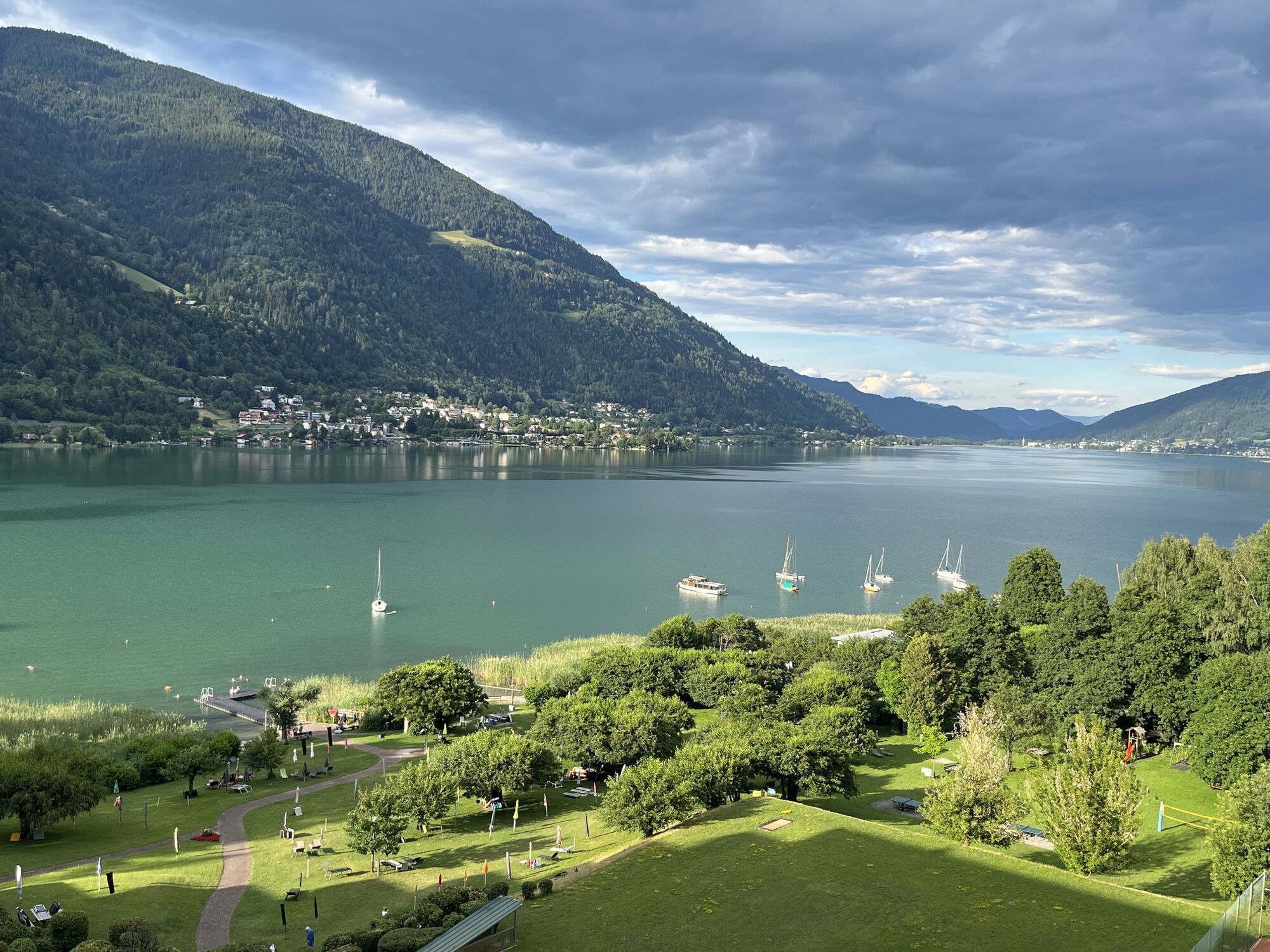
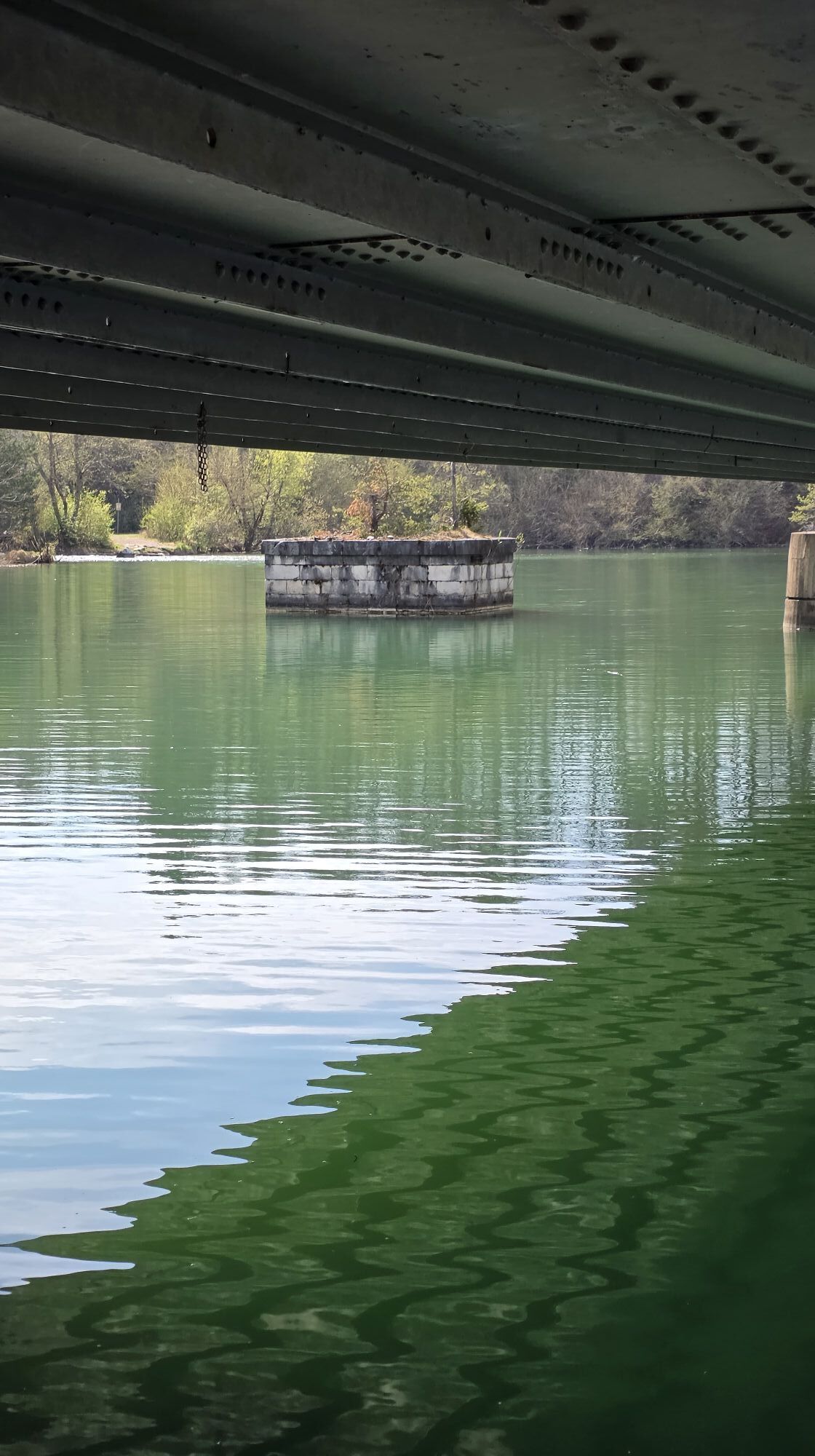
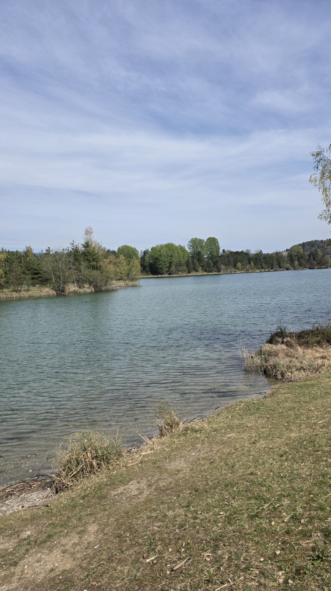
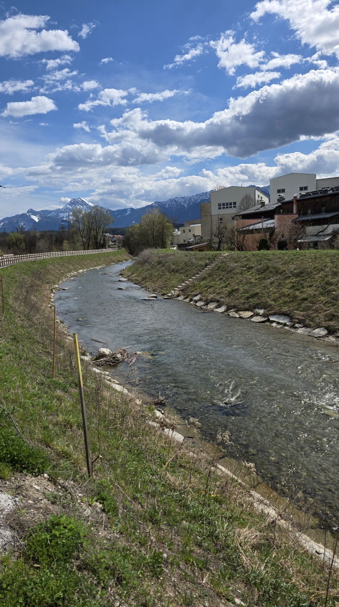
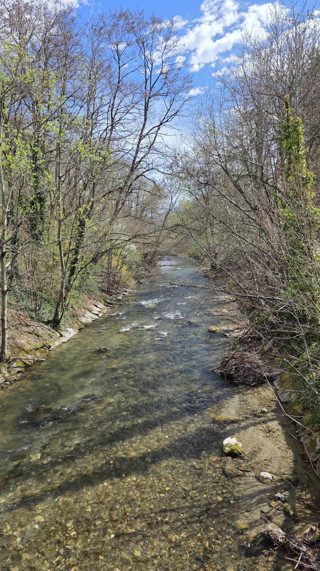
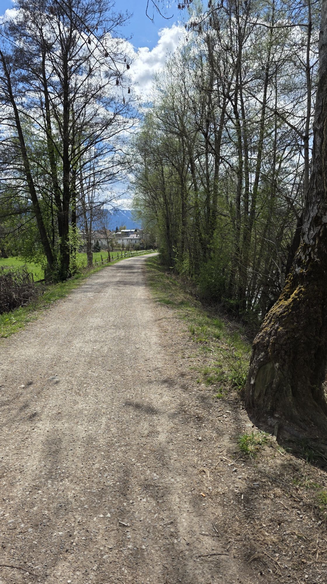
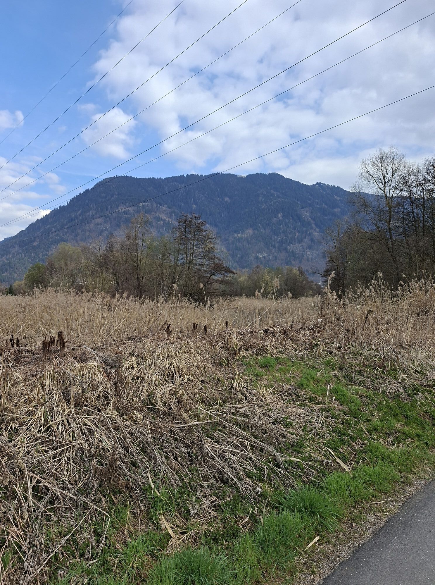
This sporty e-bike route connects two of the most beautiful Carinthian lakes, Lake Wörthersee and Lake Ossiacher See. Lake Wörthersee is the largest lake in Carinthia, and Lake Ossiacher See is the richest...
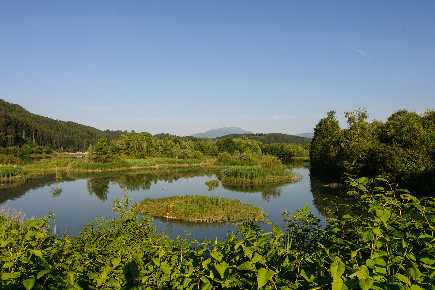
This sporty e-bike route connects two of the most beautiful Carinthian lakes, Lake Wörthersee and Lake Ossiacher See. Lake Wörthersee is the largest lake in Carinthia, and Lake Ossiacher See is the richest in fish in Carinthia. The Ossiacher Tauern are a mountain ridge between Lake Wörthersee and Lake Ossiacher See, also called "The small Tauern".
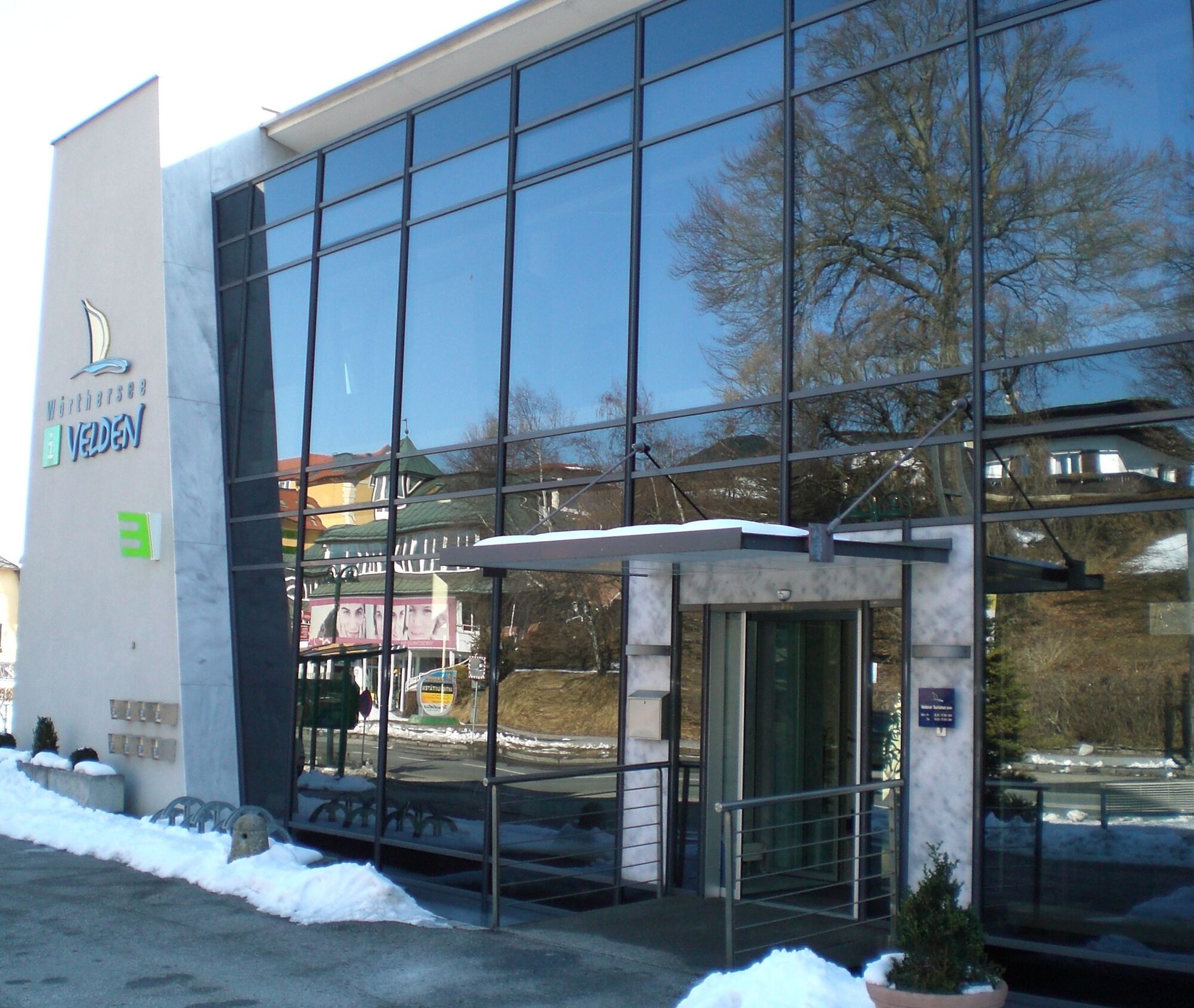
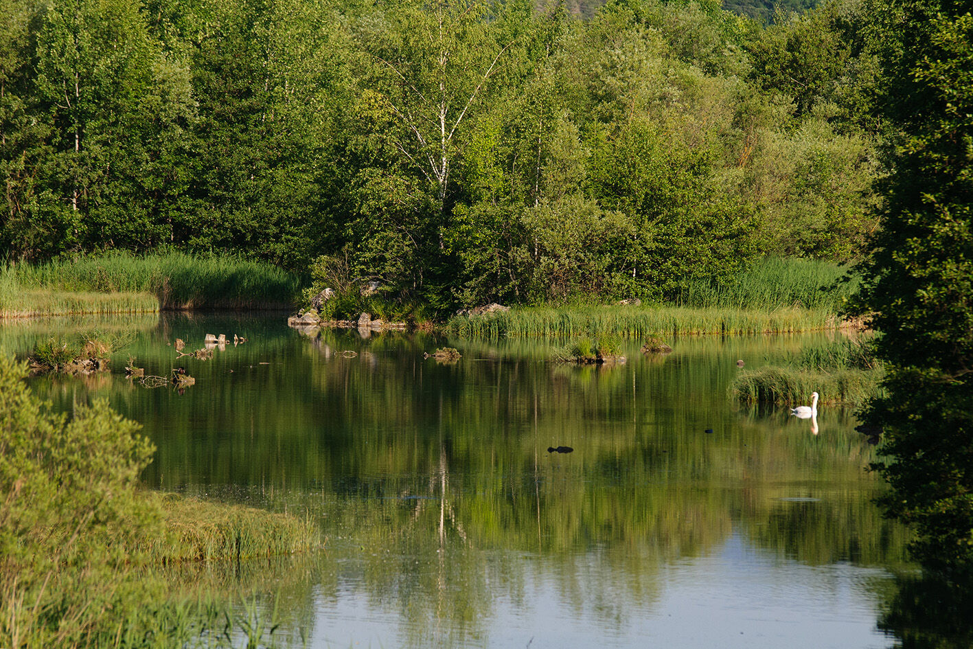
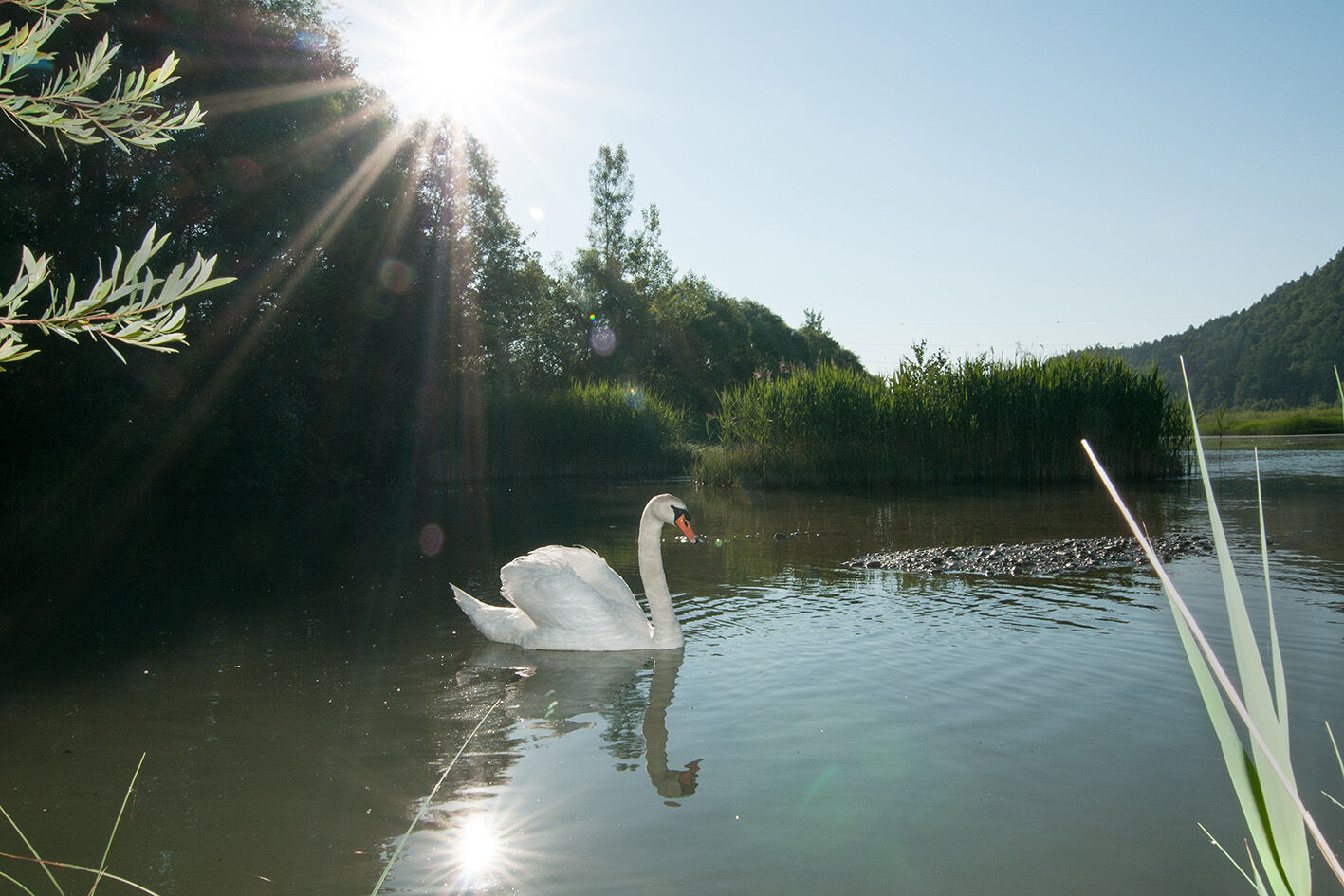
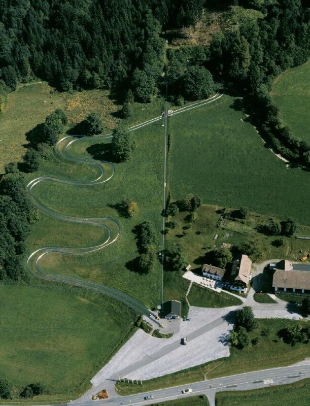
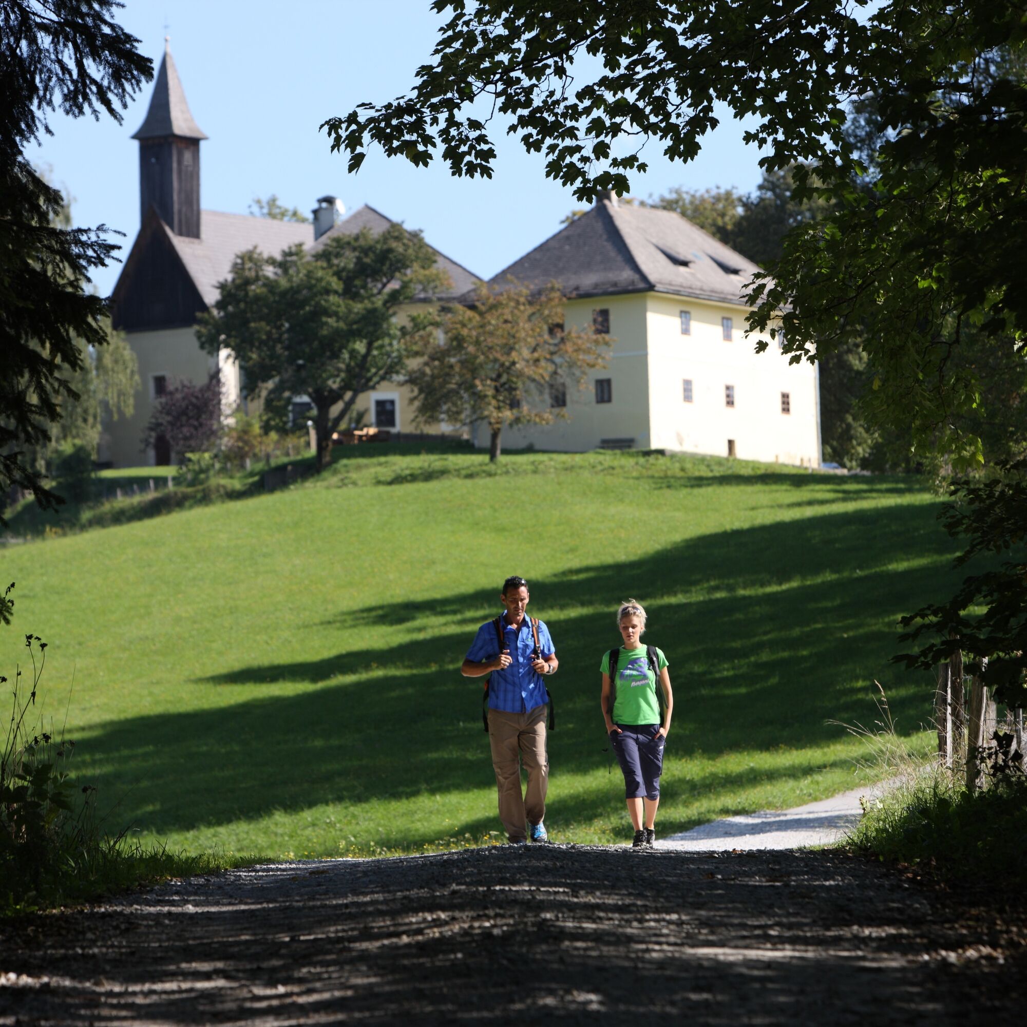
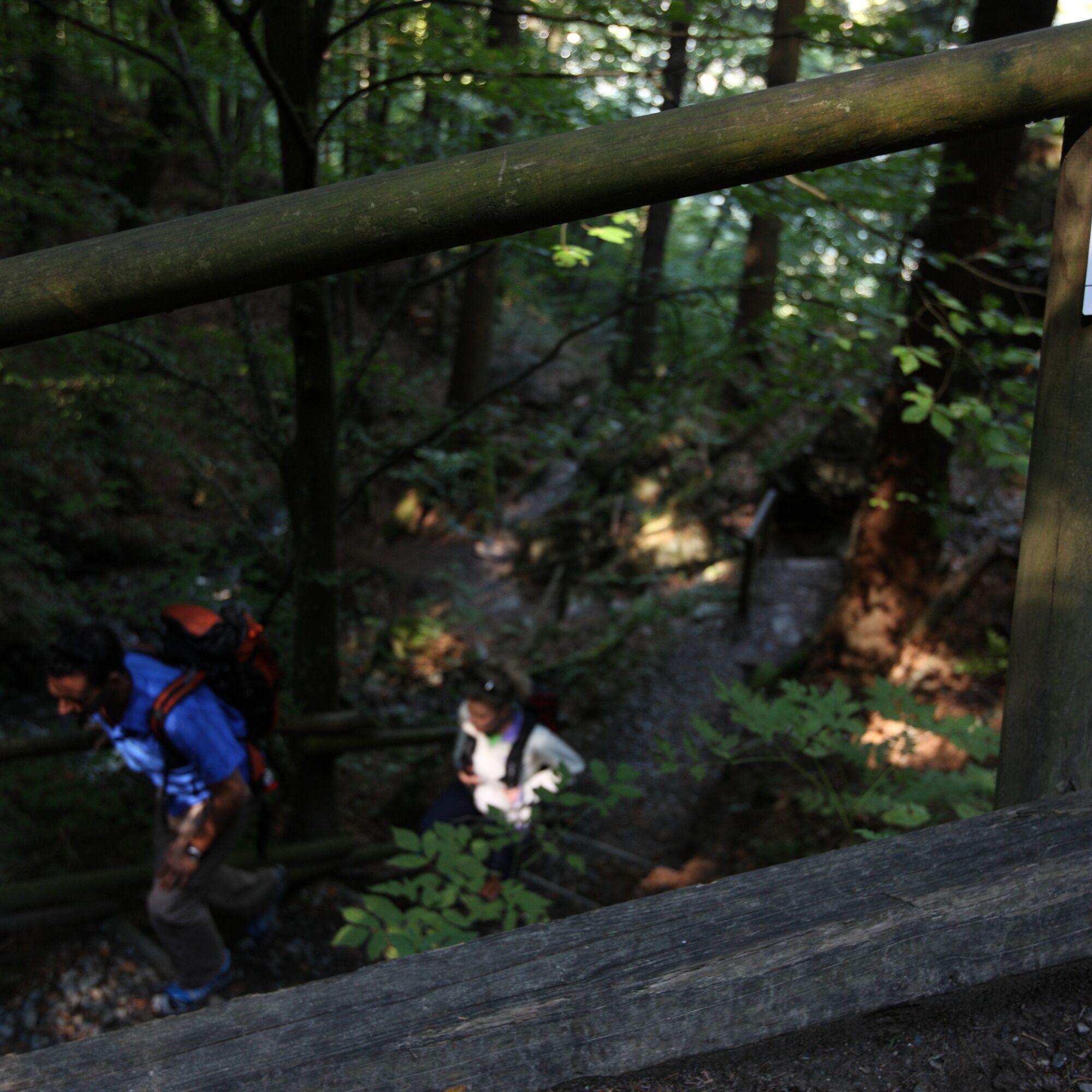
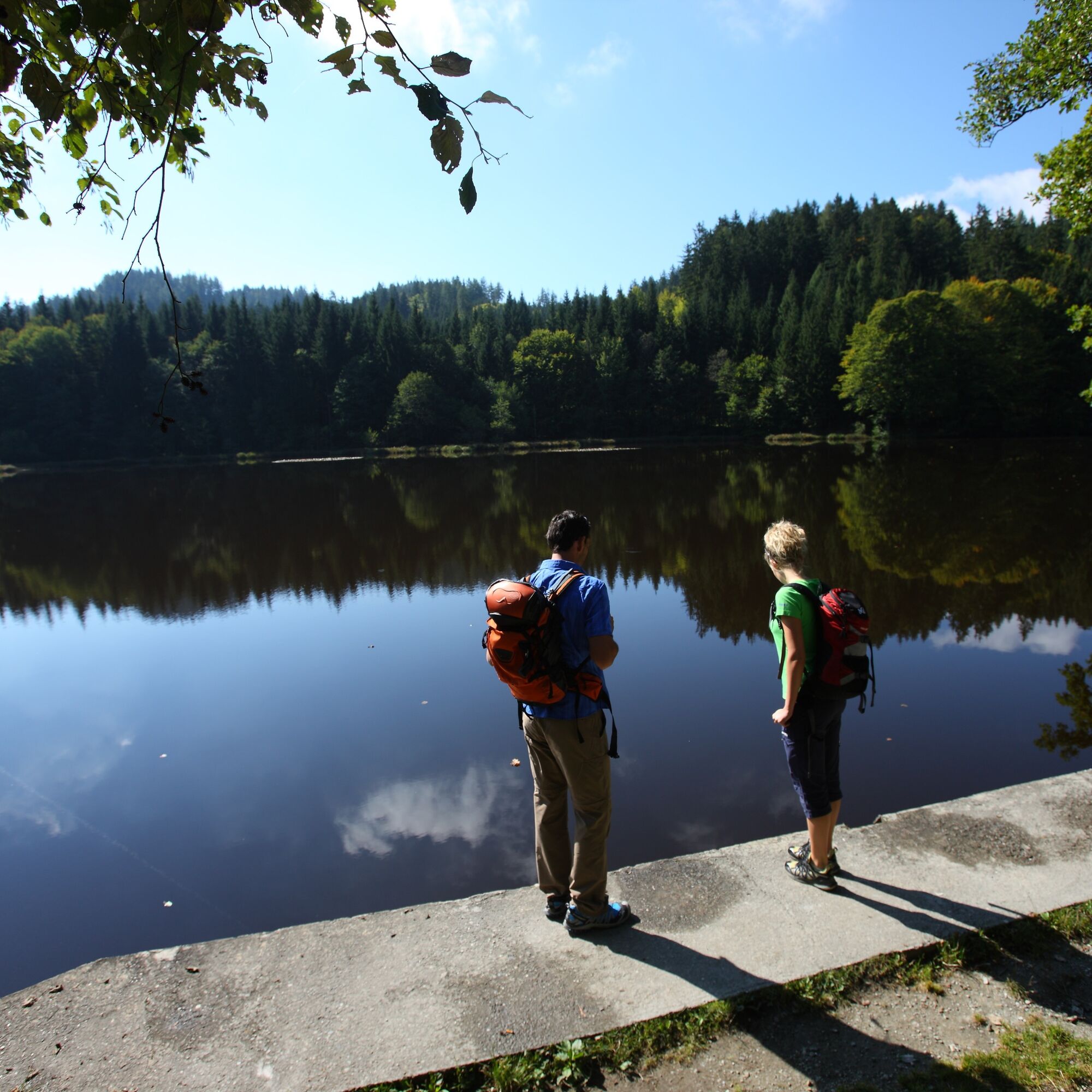
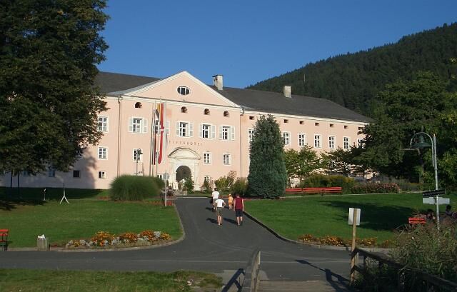
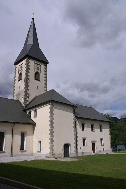

From the tourist information office in Velden, the route leads to the Drava Cycle Path and continues to just before Villach. Further along the Treffner Creek, it goes to Lake Ossiacher See. On the Lake Ossiacher See cycle path to Ossiach. A visit to the Ossiach Monastery is worthwhile here. Now the ascent to the Ossiacher Tauern begins. Up to the Ossiacher Tauern Pond, things get sporty. From Ossiach, approx. 400 meters of altitude must be overcome switchback by switchback. At about 1000 m above sea level, the Ossiacher Tauern are crossed. The path continues to the stud farm and the small Tauern chapel on the idyllic high plateau. Now the route goes downhill at first, before a final short ascent to Alpen and the Tauerneck. From here, it goes downhill via Laas, Köstenberg, Unterwurzen, Oberjeserz, and Kranzelhofen back to Velden.
Take the A2 or B 83 to Velden. The tourist information office is located at Villacher Straße 19.
Arrival in Velden possible by train or bus
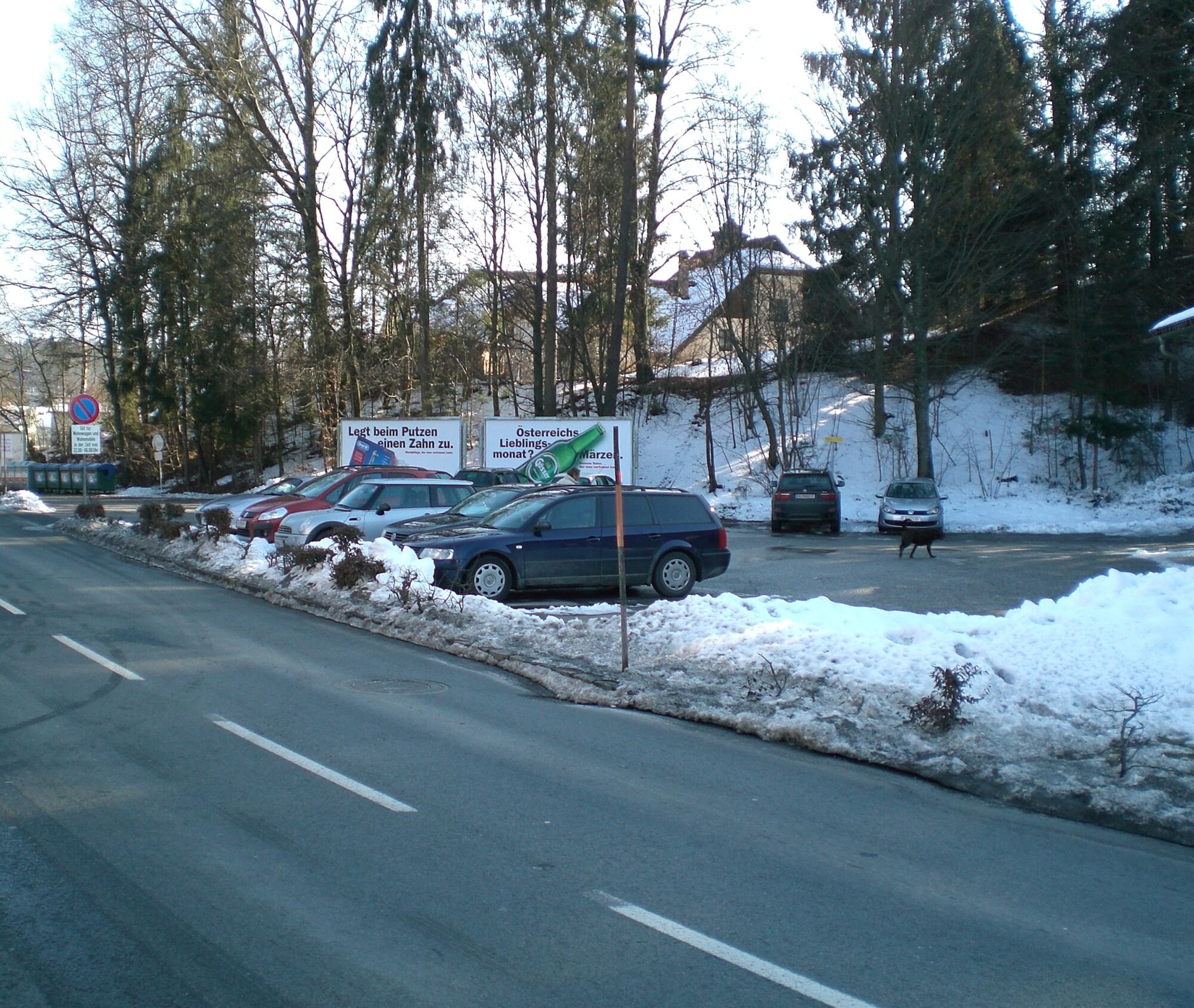
Free parking available at the ice rink, near the tourist information office
3


Spletne kamere s turneje
Gerlitzen Gipfel
Gerlitzen Gipfel
Gerlitzen Gipfel
Gerlitzen Gipfel
Velden - Bootswerft Schmalzl
Faaker See
Faaker See
Faaker See
Faaker See
Faaker See
Faaker See
Ossiach/Ossiachersee
Ossiach/Ossiachersee
Ossiach/Ossiachersee
Ossiach/Ossiachersee
Ossiach/Ossiachersee
Ossiach/Ossiachersee
Annenheim/Ossiacher See
Landskron
Wörthersee / Saag
Villach - Friedensbrücke
Gerlitzen Gipfel
Gerlitzen Mittelstation Kanzelhöhe
Gerlitzen Mittelstation Kanzelhöhe
Gerlitzen Mittelstation Kanzelhöhe
Gerlitzen Mittelstation Kanzelhöhe
Velden - Barry Memle
Velden - Barry Memle
Villach
Hotel SeeRose
Velden Kurpark / Karawankenplatz
Strandpark Velden
Bucht Velden / Bootswerft Schmalzl
Golf Velden am Wörthersee
Hotel Post Wrann
Kinderland Kanzelbahn (1.440m)
Faaker See / Grüner Heinrich
Falkensteiner Schlosshotel Velden
Faaker See / Haus am See


Priljubljeni izleti v okolici
- 4,7
4 Huts route
srednjaPohodništvo 8,96 km - 4,6
Hoher Gallin route
srednjaPohodništvo 7,09 km - 5,0
Amberg: Palnock 1901m, Schwarzsee, Rundstrecke
srednjaPohodništvo 7,94 km - 4,4
Finsterbach Waterfalls - Circular route
srednjaPohodništvo 3,87 km - 4,5
Mallestiger Mittagskogel
srednjaPohodništvo 8,17 km - 4,8
Schwarzkogel-Runde über Jepzasattel Schwarzkogel, Mallestiger Mittagskogel
srednjaPohodništvo 13,4 km - 4,3
Lake circular trail
svetlobaNordic Walking 9,85 km - 4,7
Rotschitza Klamm Klettersteig B/C
srednjaVia ferrata 3,73 km - 4,7
Baumgtn. Höhe, Mallestiger Mittags- und Schwarzkogel
težkoZimsko pohodništvo 10,7 km - 4,2
Schwarzsee circular hiking trail
srednjaPohodništvo 7,79 km
Pohodništvo in sledenje


Ne zamudite ponudb in navdiha za naslednje počitnice
Vaš e-poštni naslov je bil dodan na poštni seznam.





