







Obervellach - Mallnitz ("Old Railway Track") O08
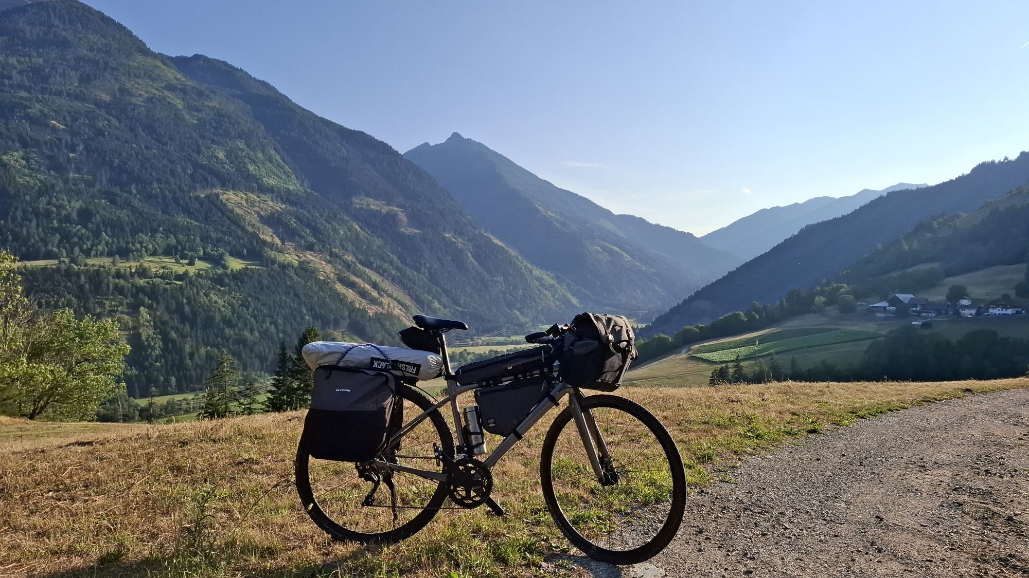
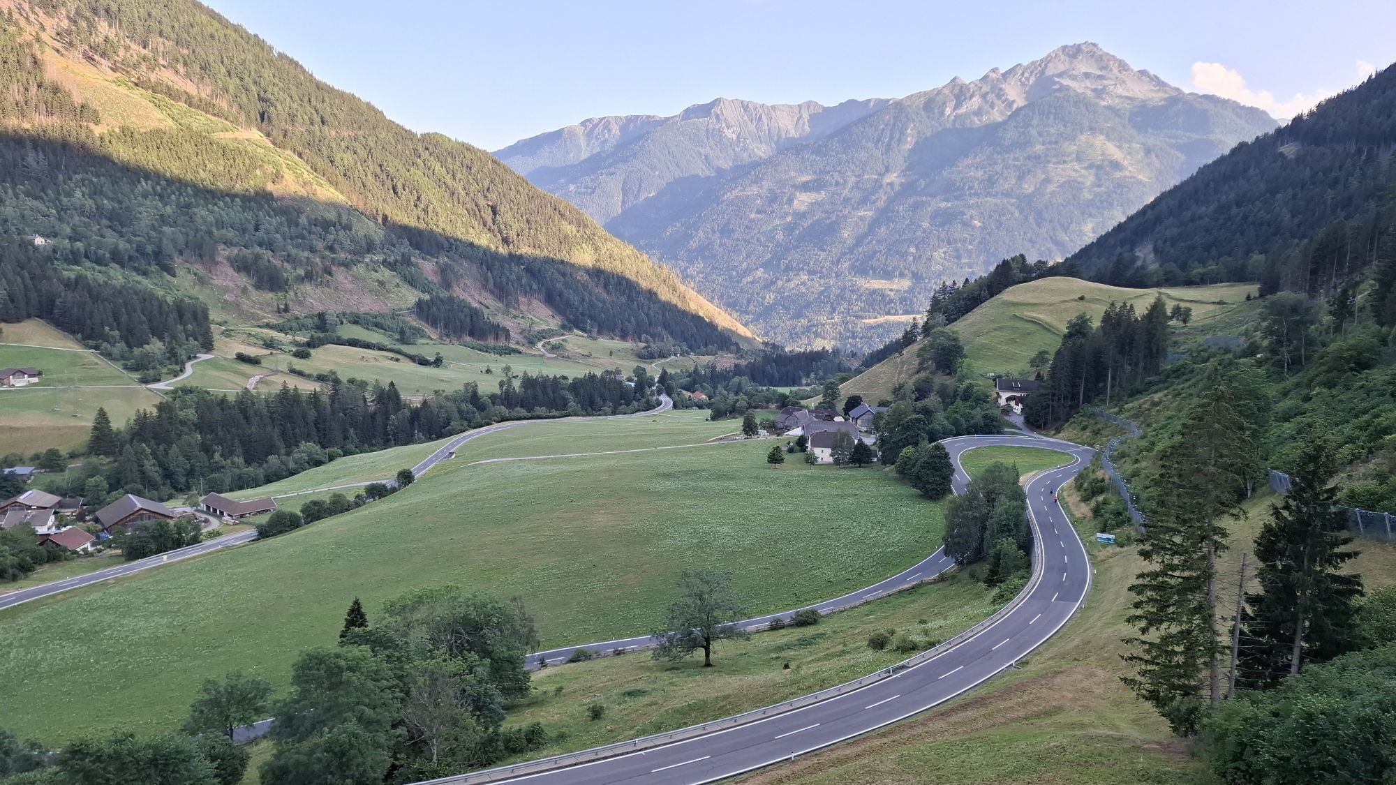
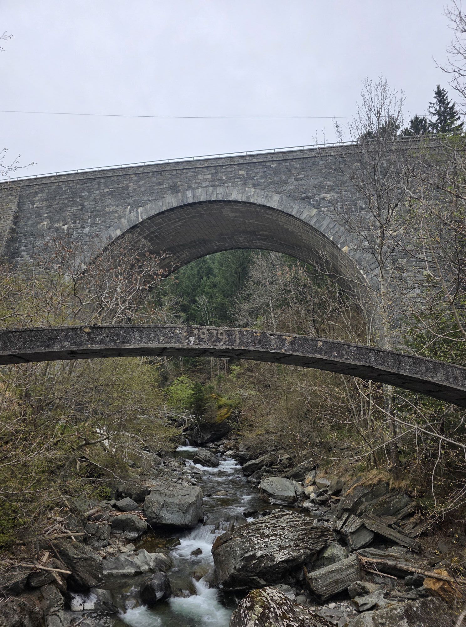


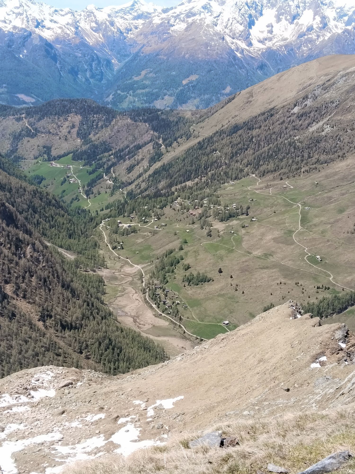
The "Old Railway Track" is part of the "Valley Circuit Middle and Lower Mölltal" and is signposted as such. However, it is also a highly rewarding route on its own from Obervellach or Mallnitz, suitable...
The "Old Railway Track" is part of the "Valley Circuit Middle and Lower Mölltal" and is signposted as such. However, it is also a highly rewarding route on its own from Obervellach or Mallnitz, suitable even for beginners, so it makes sense to describe it as an independent route.
Moreover, from Obervellach it serves as the "feeder" to all tours around Mallnitz and from Mallnitz to the tour to the Stranighütte.

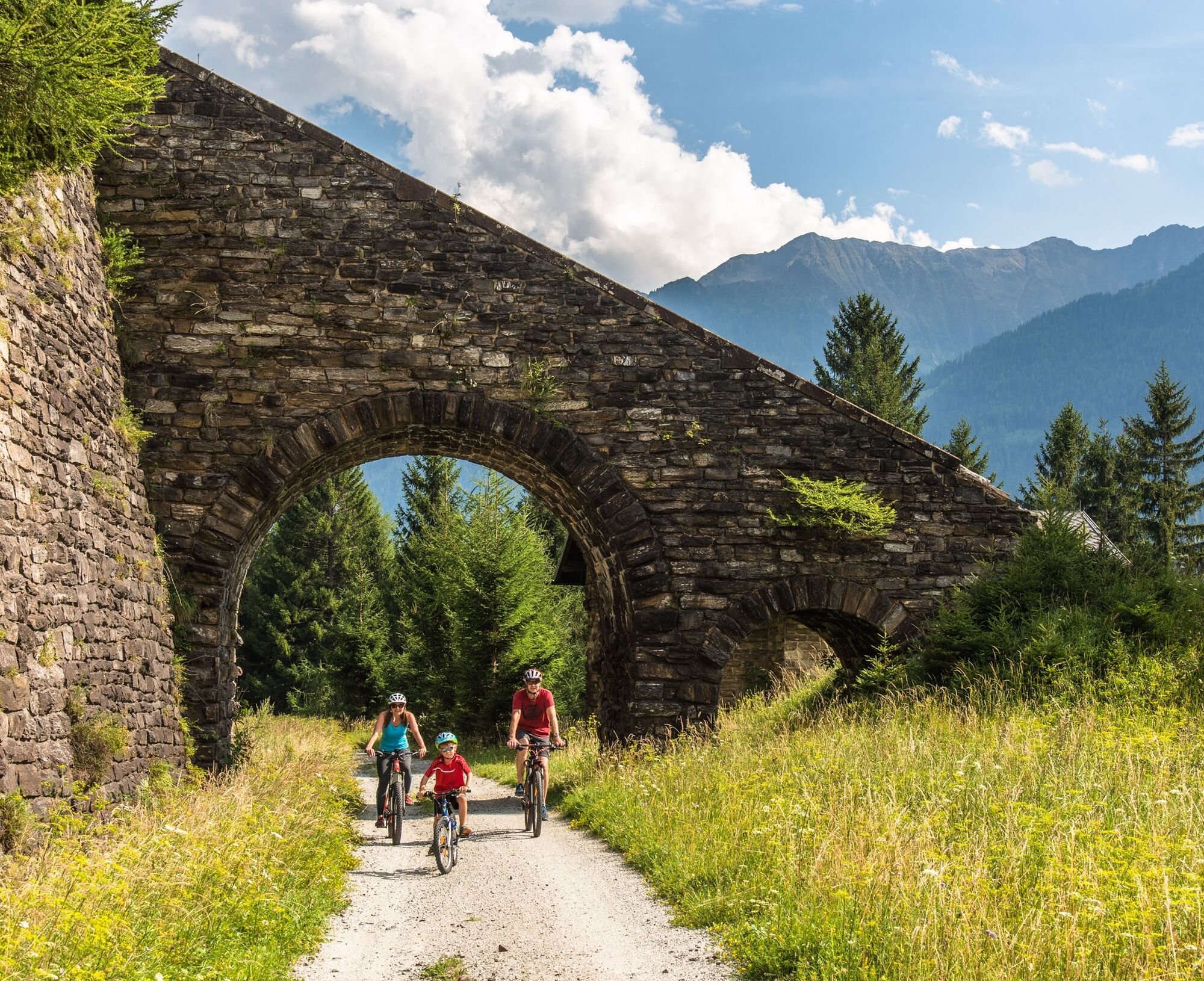
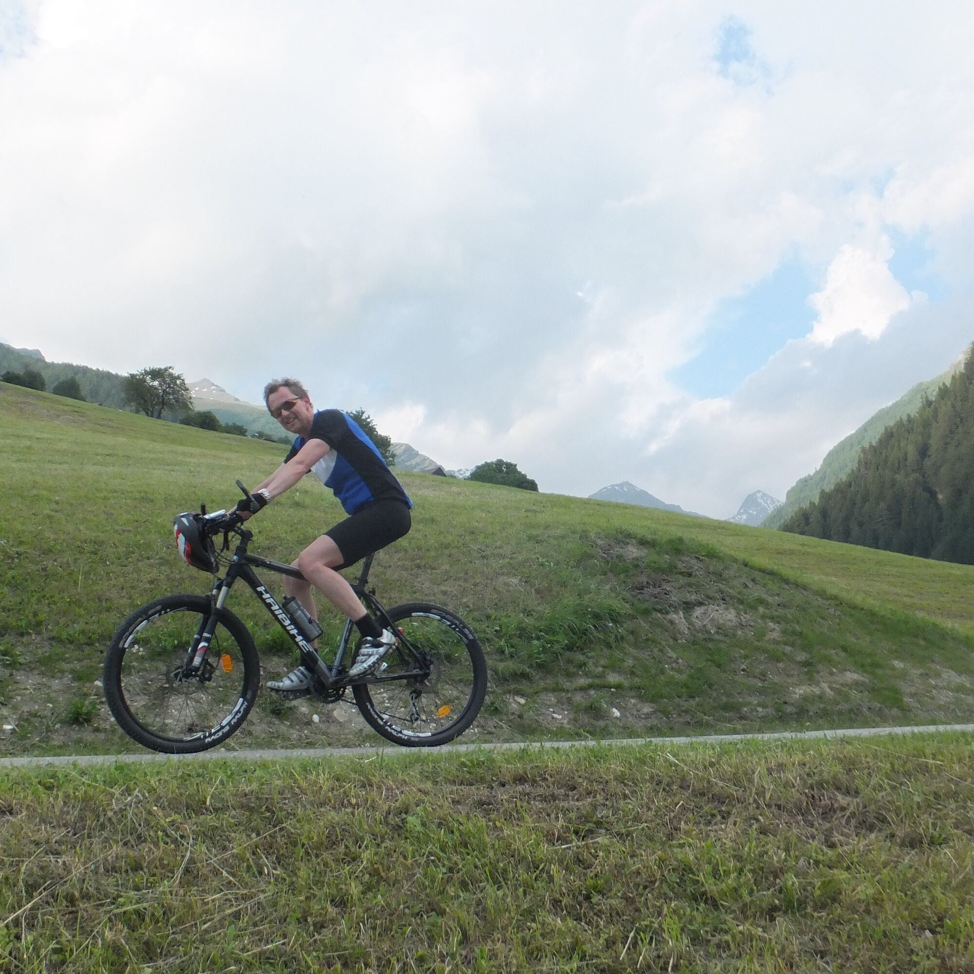
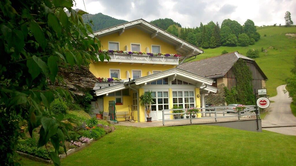
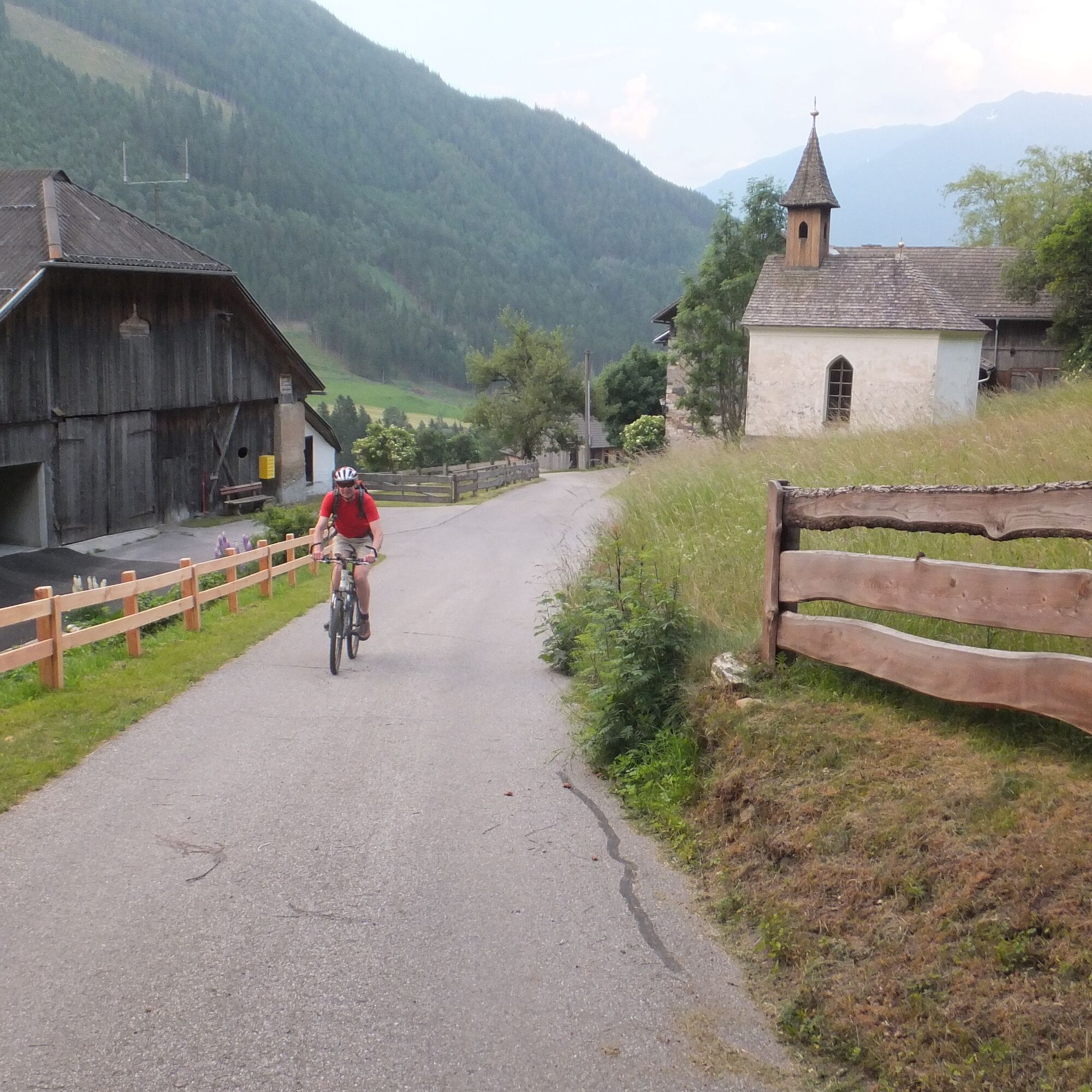
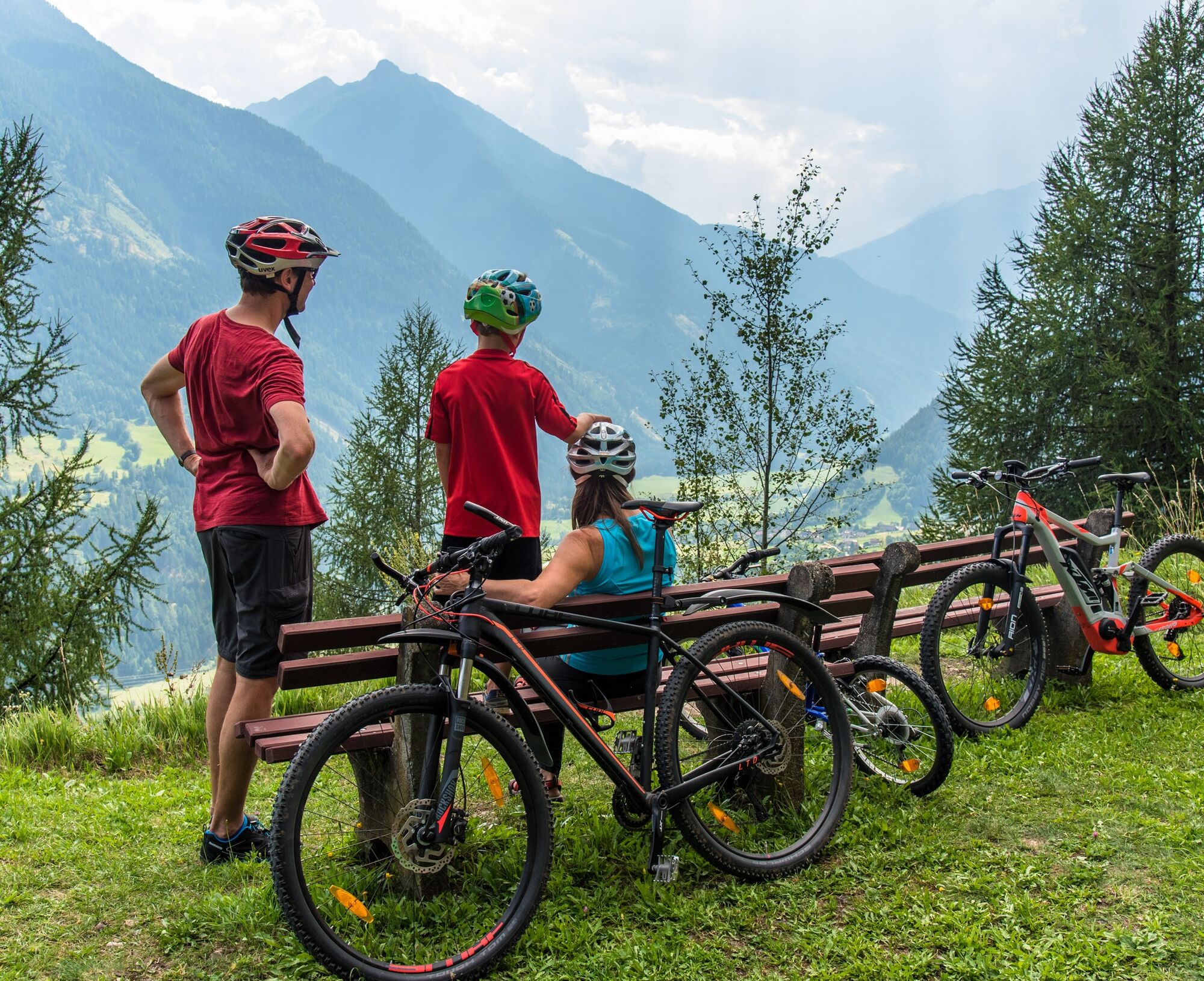

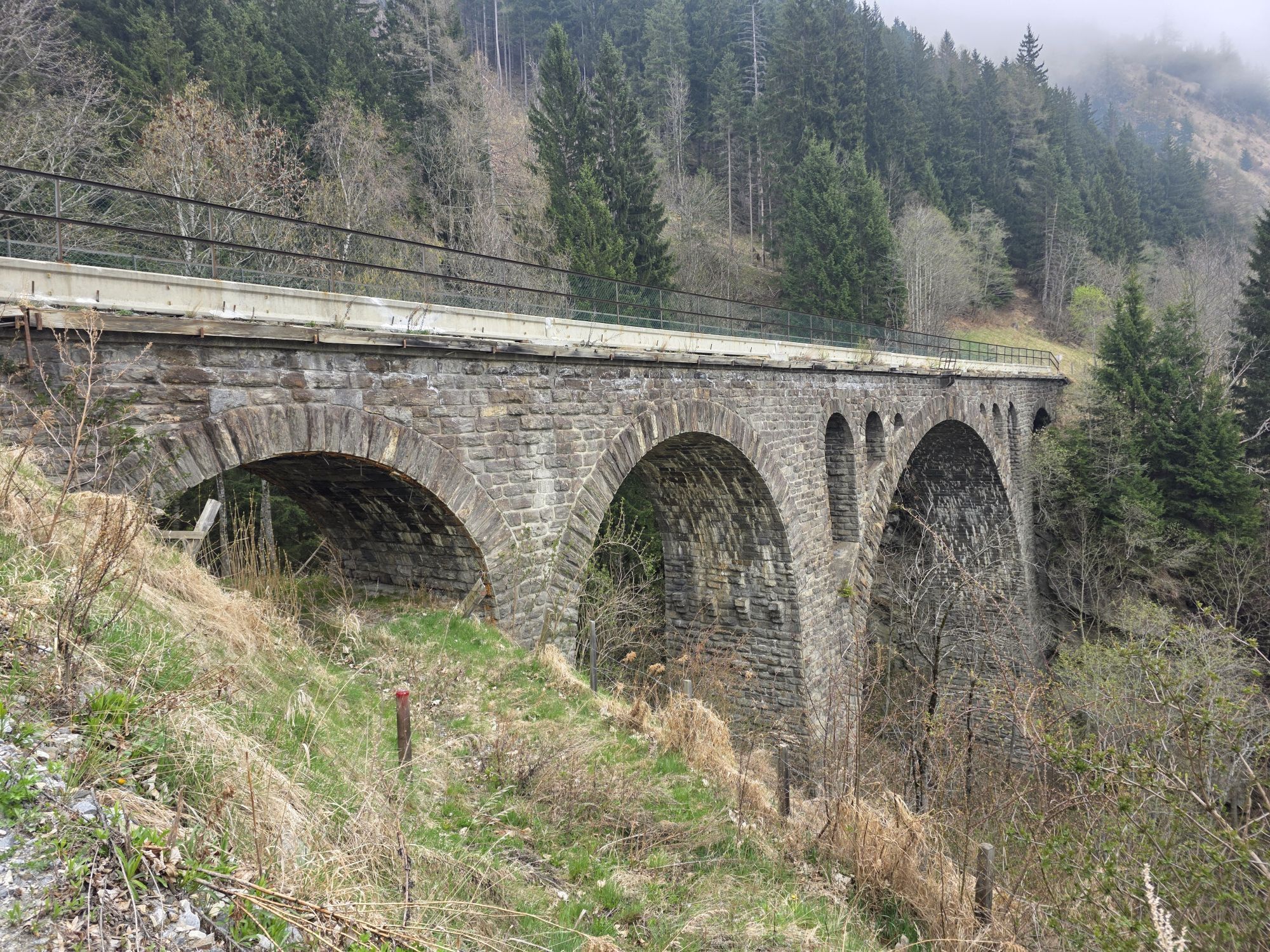
From the main square in Obervellach, shortly to the federal road leading to Mallnitz. This is used for about 1 km until an asphalted side road to the mountain village of Kaponig branches off to the right. We follow this in several hairpin bends up to the former "Kaponig" station. Here begins the actual "Old Railway Track." A rest area invites you to stop.
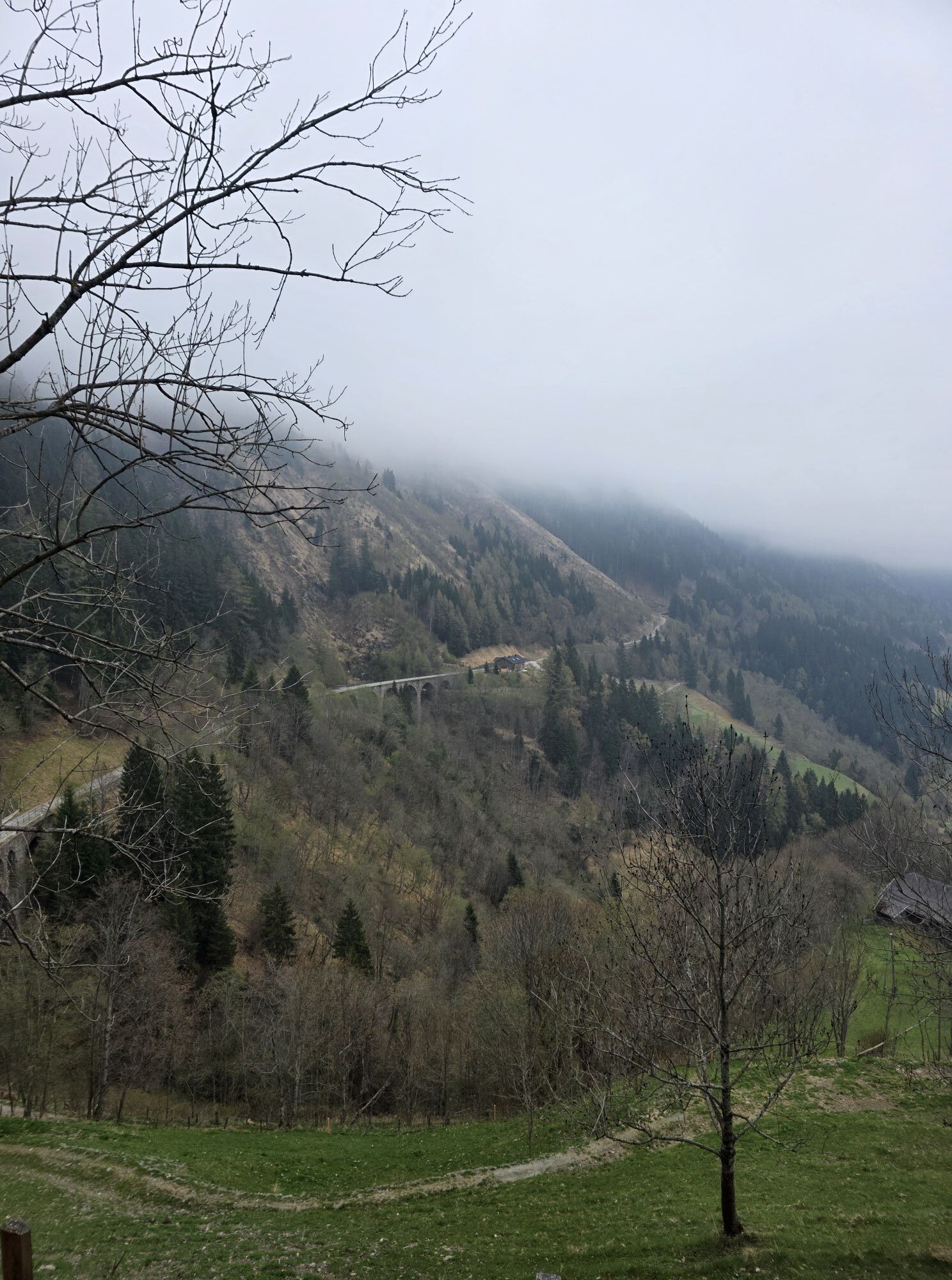
The railway track now gently rises - following the former railway line - in a long, scenic traverse along the hillside until just before the former Dösen tunnel. Here we turn right, cycle uphill briefly, and after a left hairpin bend, the asphalted road is soon reached again. The highest point of this route is by the Gasthof Siegelbrunn.
Continuing towards Mallnitz. We could already turn back at the station, but it is also possible to continue into the town center and thus extend the route a bit. On the return journey from the town center, it is advisable to follow the "Old Mallnitz Road" from Hotel Edelweiss to the Rabisch district.
From Rabisch, we follow the federal road to the 2nd left hairpin bend. There we choose the village road, then return once again to the federal road and leave it a few hundred meters after the village of Lassach to the left. Here we are back on the former road from Obervellach to Mallnitz, which we follow over the Obervellach Kalvarienberg back to Obervellach. Shortly before the town, we rejoin the federal road.
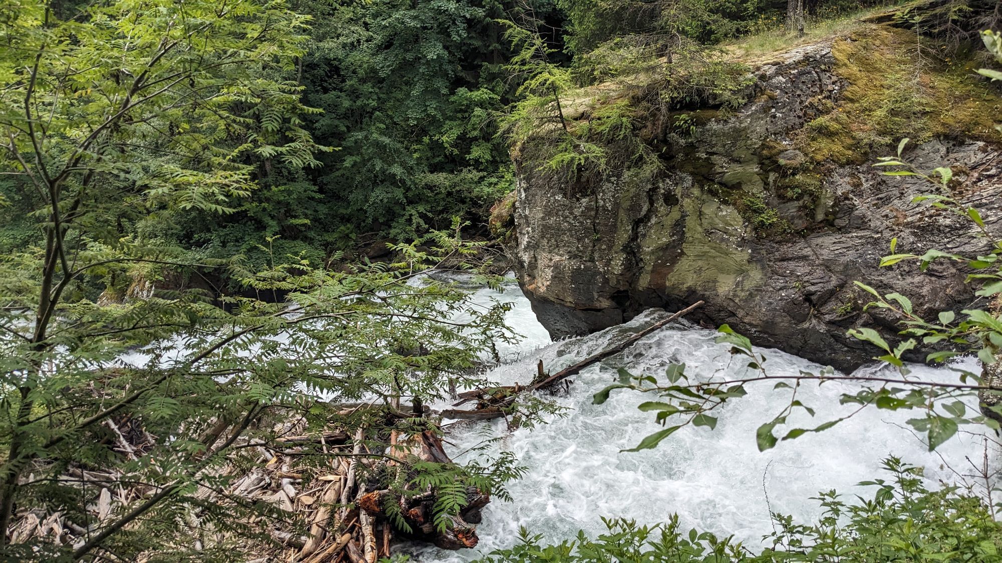
The path in the lower part of the descent, at Kalvarienberg, is also used by hikers after visiting the Groppenstein Gorge. We therefore ask for considerate behavior!
Ideal by train (Intercity station Mallnitz-Obervellach)
Take the train to the Mallnitz/Obervellach station and from there head toward Dösen.
The difficulty rating "3" refers to the lowest part of the descent at Kalvarienberg. The rest of the route, especially the actual "railway track", is easy. Those who want to avoid the gravel section at Kalvarienberg can of course also use the main road from Mallnitz to Obervellach.
In the spirit of positive coexistence with landowners, hunting rights holders, and other interested parties, please observe the following usage times:
May 1 to September 30: 9:00 AM to 8:00 PM
October 1 to October 31: 9:00 AM to 4:00 PM
 Pridobite vpogled
Vedno v živo na mestu z več kot 9.500 spletnimi kamerami. bergfex Kot uporabnik Pro si lahko zdaj ogledate ustrezne spletne kamere za številne izlete v aplikaciji izleti iz. Tako si lahko neposredno ogledate trenutne razmere.
Pridobite vpogled
Vedno v živo na mestu z več kot 9.500 spletnimi kamerami. bergfex Kot uporabnik Pro si lahko zdaj ogledate ustrezne spletne kamere za številne izlete v aplikaciji izleti iz. Tako si lahko neposredno ogledate trenutne razmere.
Priljubljeni izleti v okolici
-
4.5
Groppenstein Gorge Obervellach
srednjaPohodništvo 2.99 km -
4.5
Mountain route from the Kötschachtal to the natural jewel Reedsee
srednjaPohodništvo 12.5 km -
4.9
Wanderung zur Schwussner Hütte
svetlobaPohodništvo 8.07 km -
4.4
"Elendrunde" Kleinelend Valley - Zwischenelendscharte - Großelend Valley
srednjaPohodništvo 21.9 km -
4.7
Kölnbreinspeicher bis Osnabrücker Hütte
svetlobaPohodništvo 15.9 km -
5.0
Ankogelgruppe - Säuleck 3.086m - Detmolder Weg mit zu viel Schnee
težkoVisokogorska tura 23 km -
4.7
Hüttenkogel - Graukogel von der Bergstation
srednjaGorski pohodništvo 4.68 km -
4.0
Raggaschlucht
srednjaPohodništvo 3.44 km -
4.5
Bad Gastein-Böckstein-Sportgastein(Schlechtwettervariante)
Pohodništvo 17.2 km -
4.5
Niedersachsenhaus
srednjaPohodništvo 4.84 km
Pohodništvo in sledenje


Ne zamudite ponudb in navdiha za naslednje počitnice
Vaš e-poštni naslov je bil dodan na poštni seznam.





