





MTB 15 - Lorenzenberg circular route - Lavamünd
Fotografije naših uporabnikov
The circular route leads over the Lorenzenberg, Magdalensberg and Lamprechtsberg. Also suitable for e-bikers.
Attention: On the section St. Magdalena - Koglereck of the Sobother Bundesstraße (B69), heavy...
The circular route leads over the Lorenzenberg, Magdalensberg and Lamprechtsberg. Also suitable for e-bikers.
Attention: On the section St. Magdalena - Koglereck of the Sobother Bundesstraße (B69), heavy traffic is to be expected. The B69 is especially popular with motorcyclists.
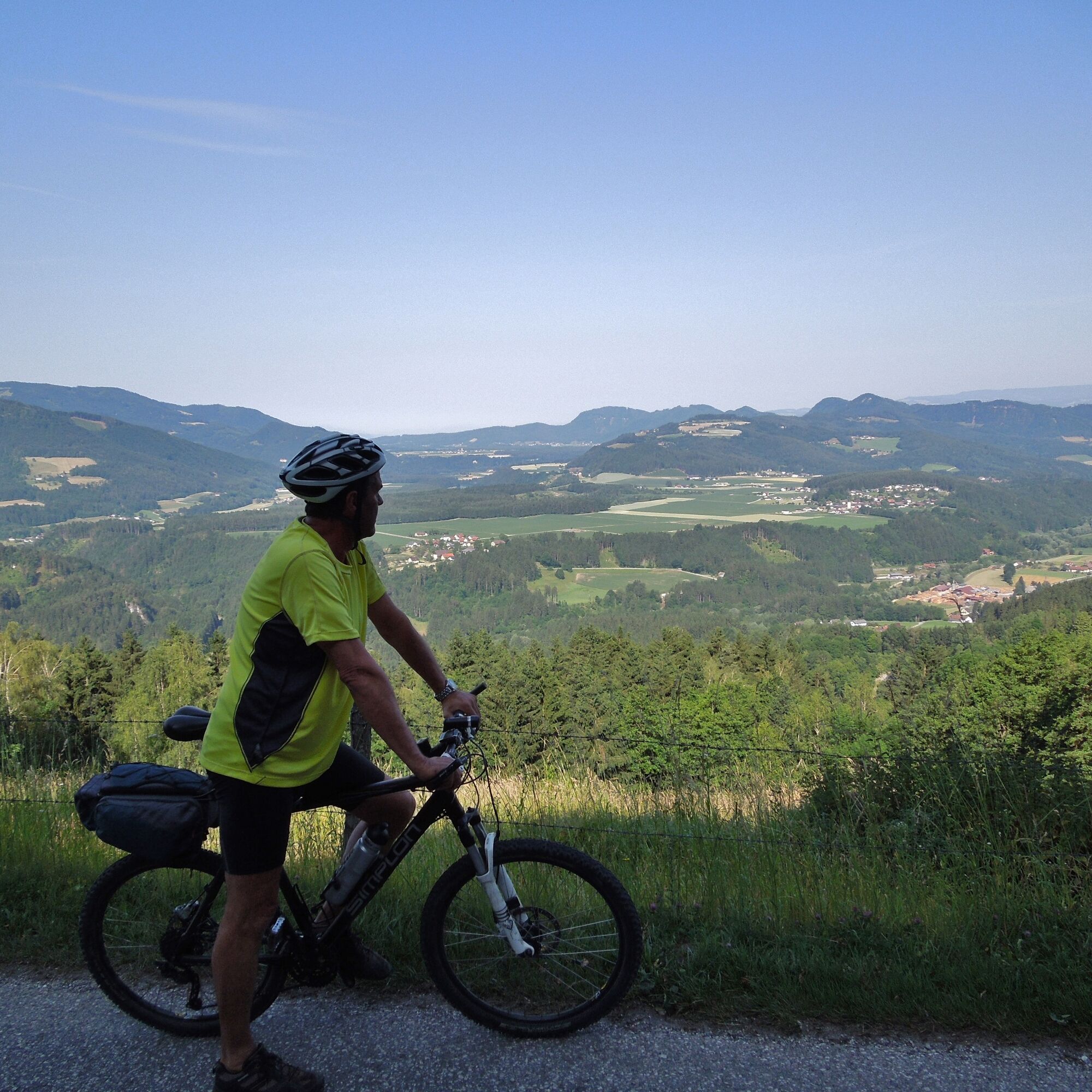
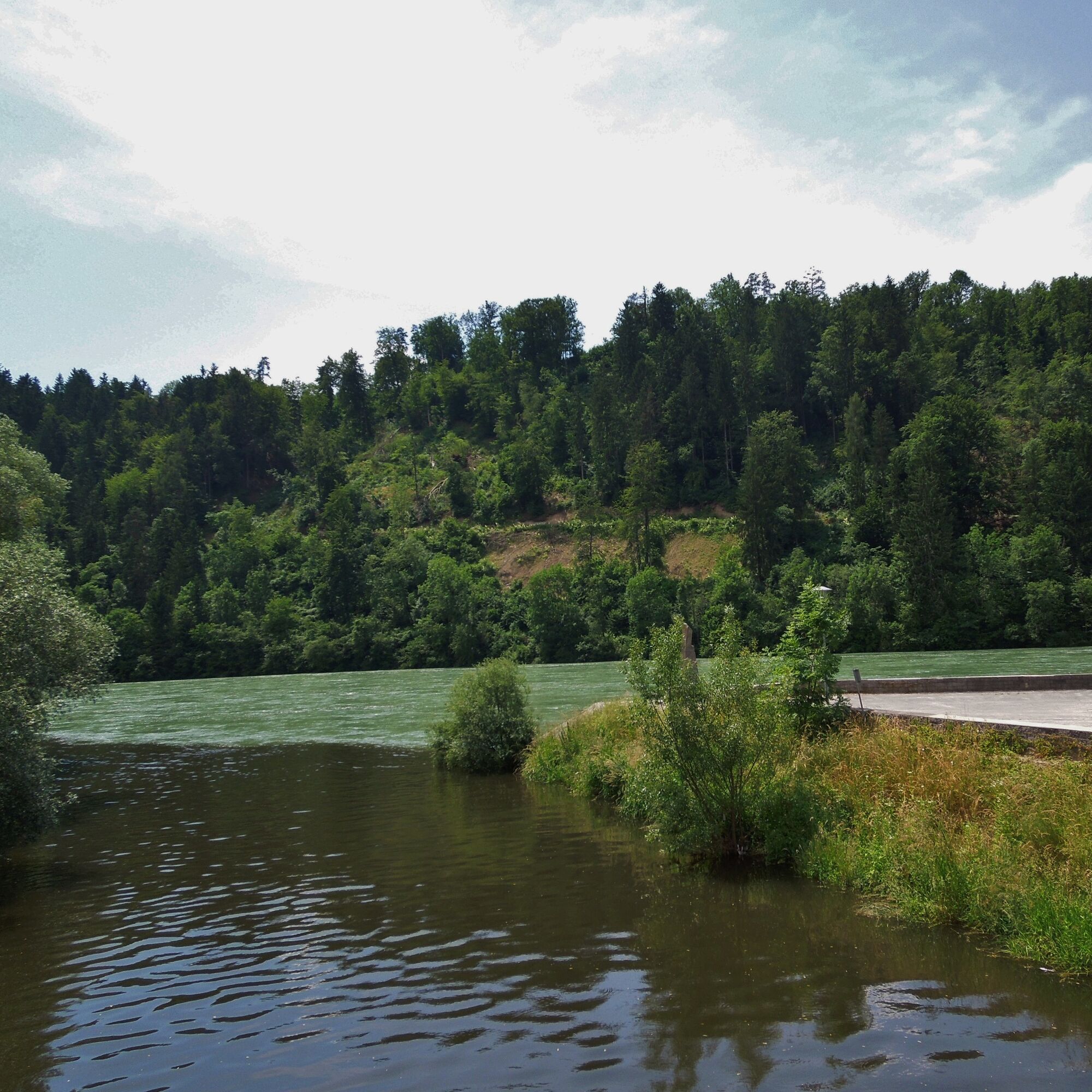
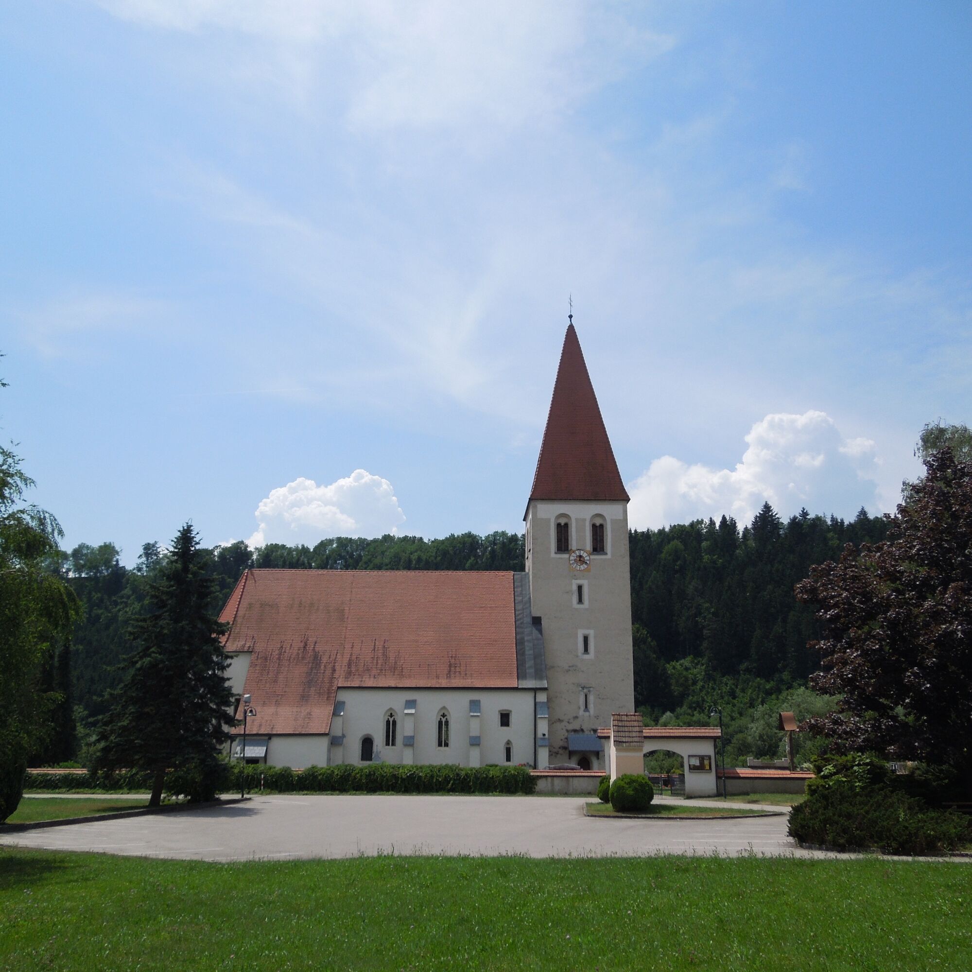
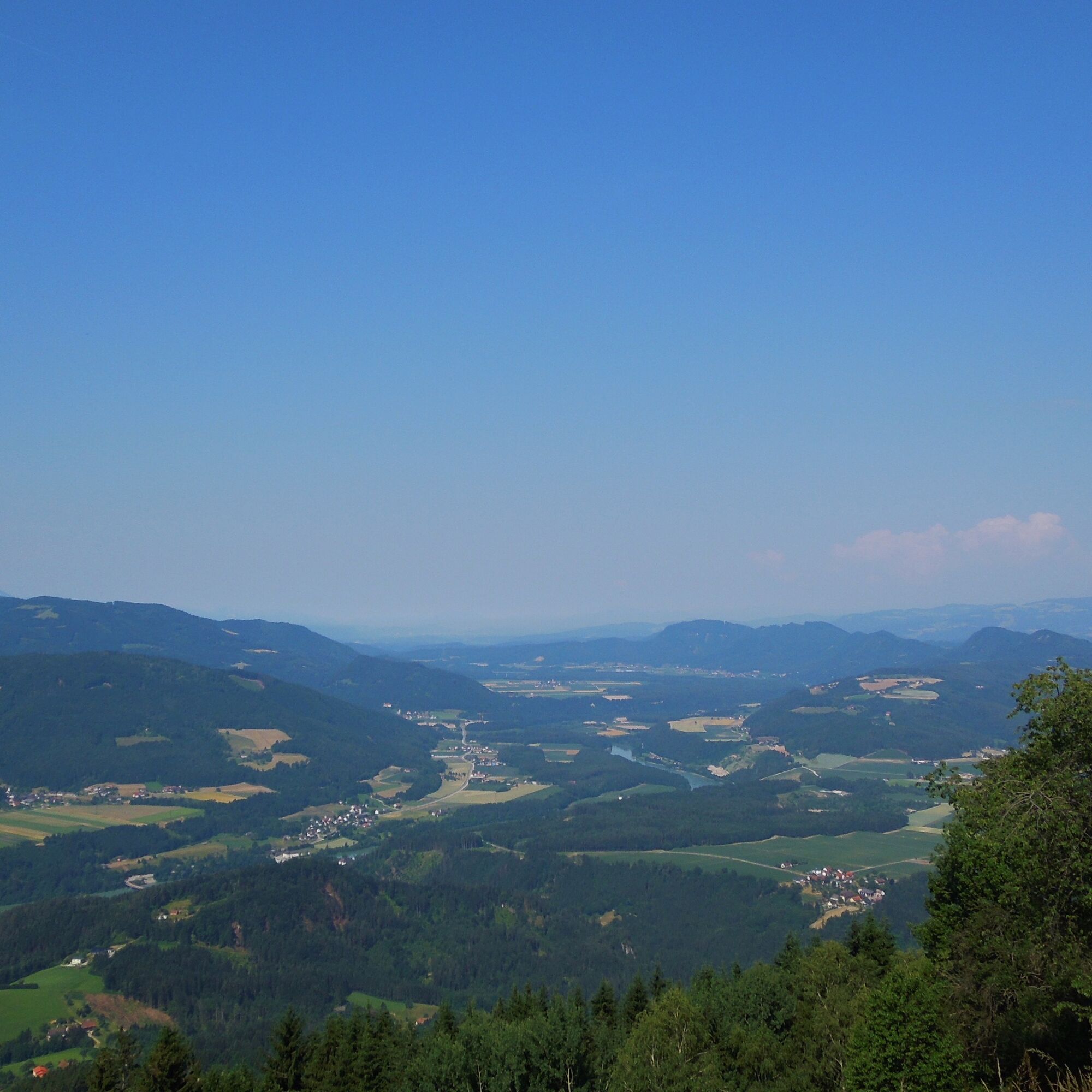
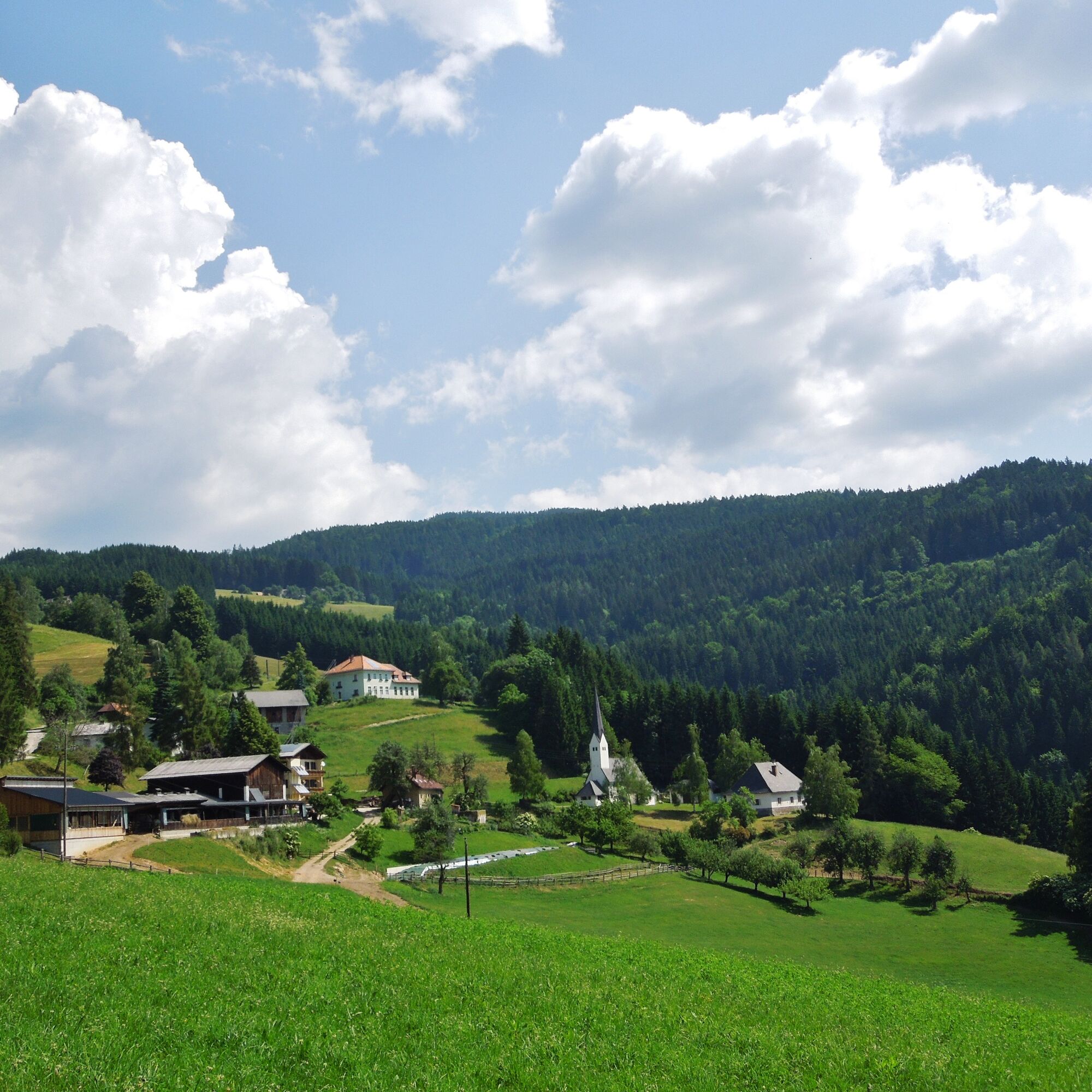
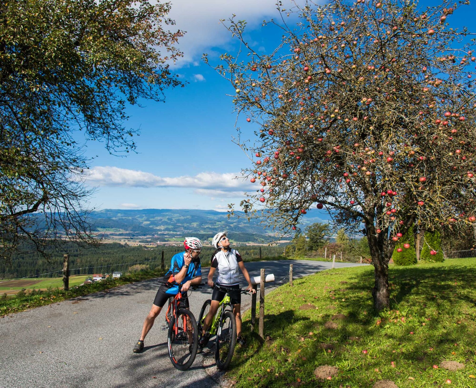
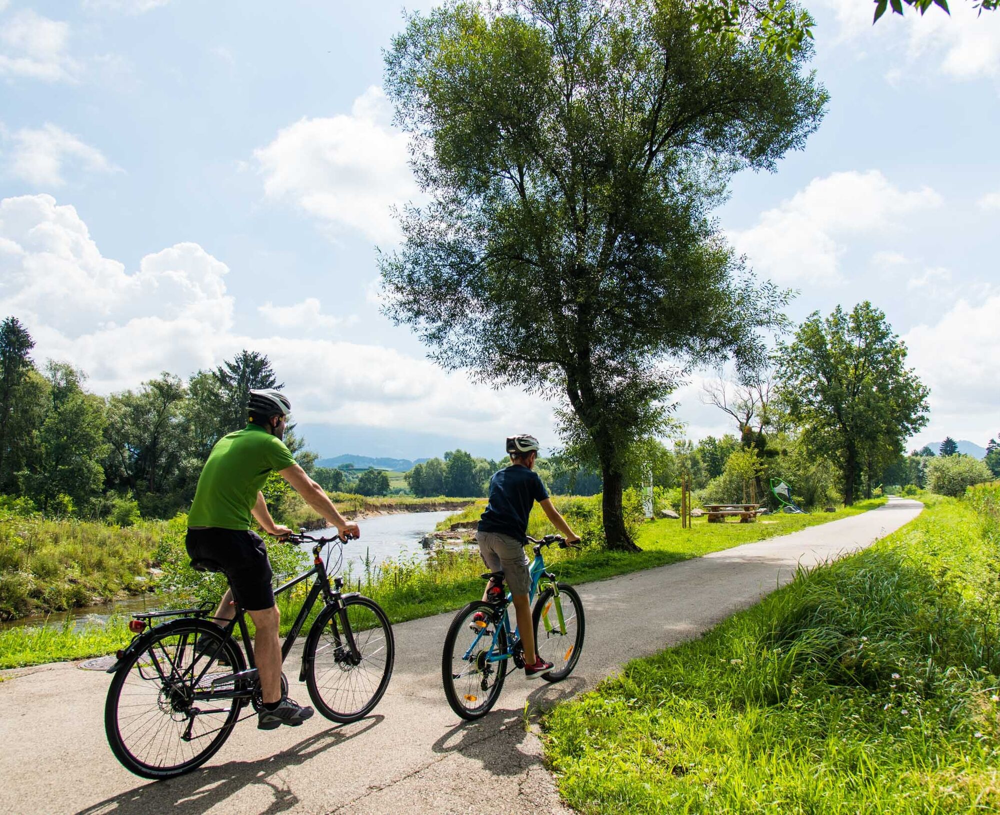
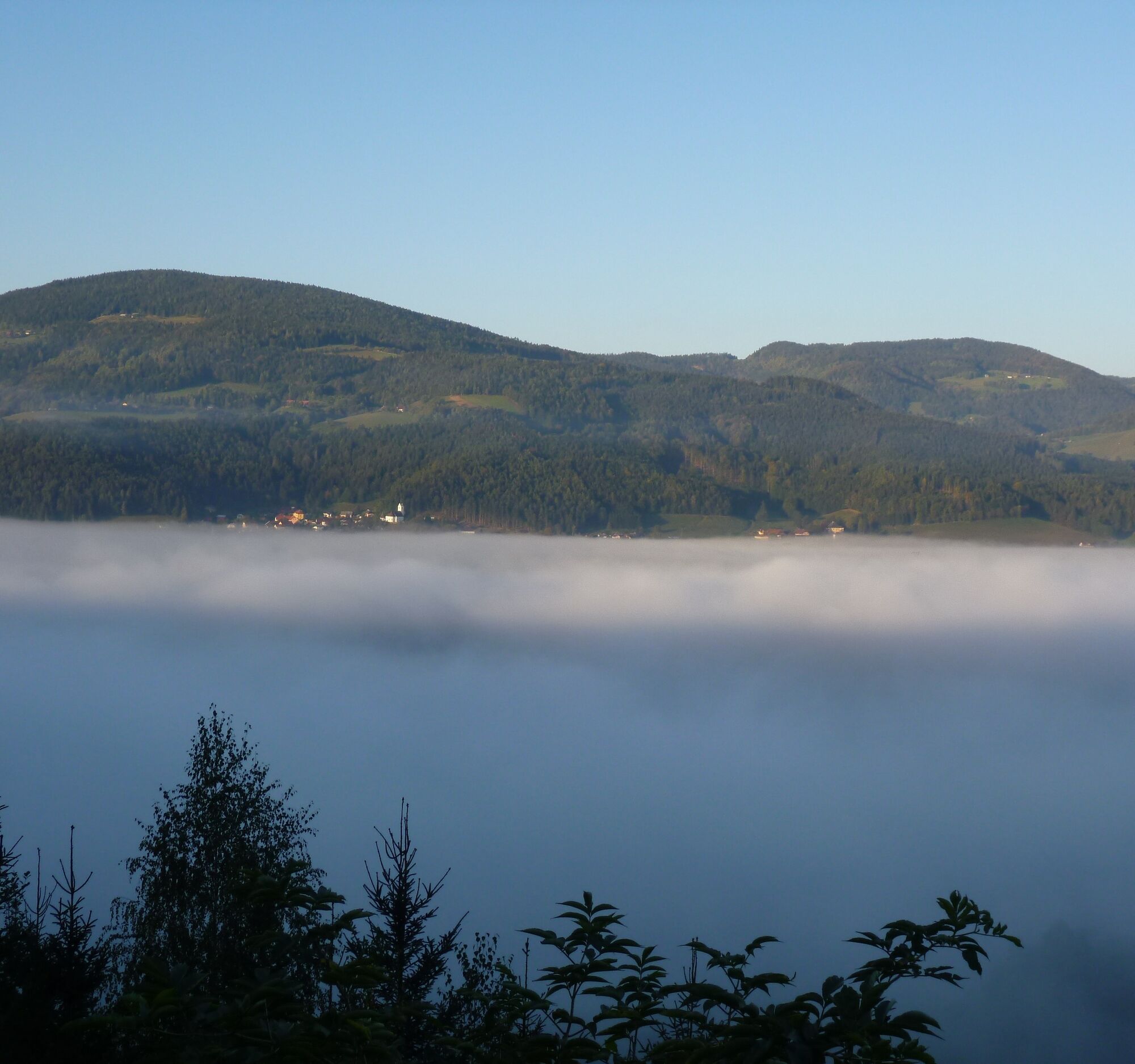
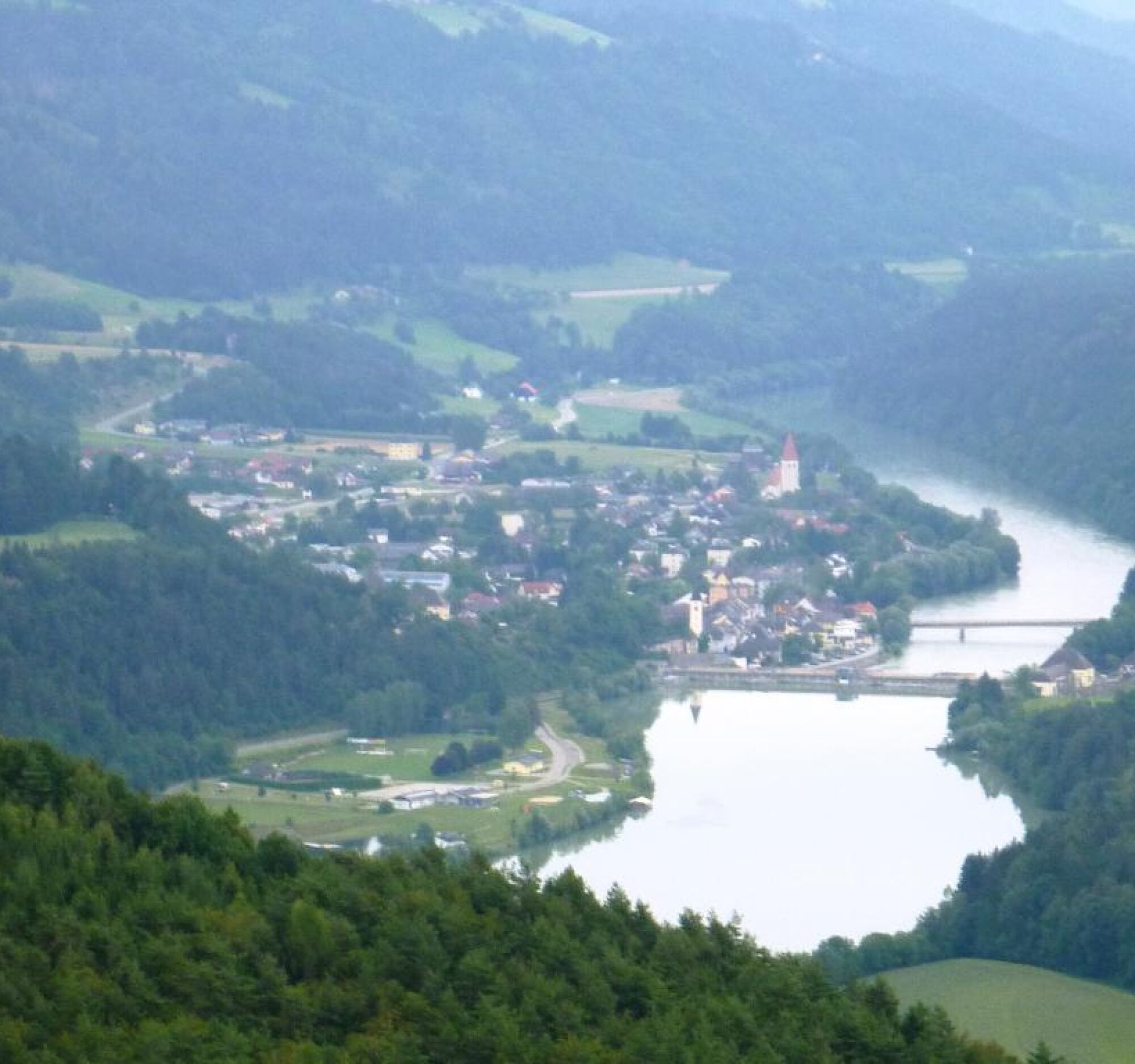
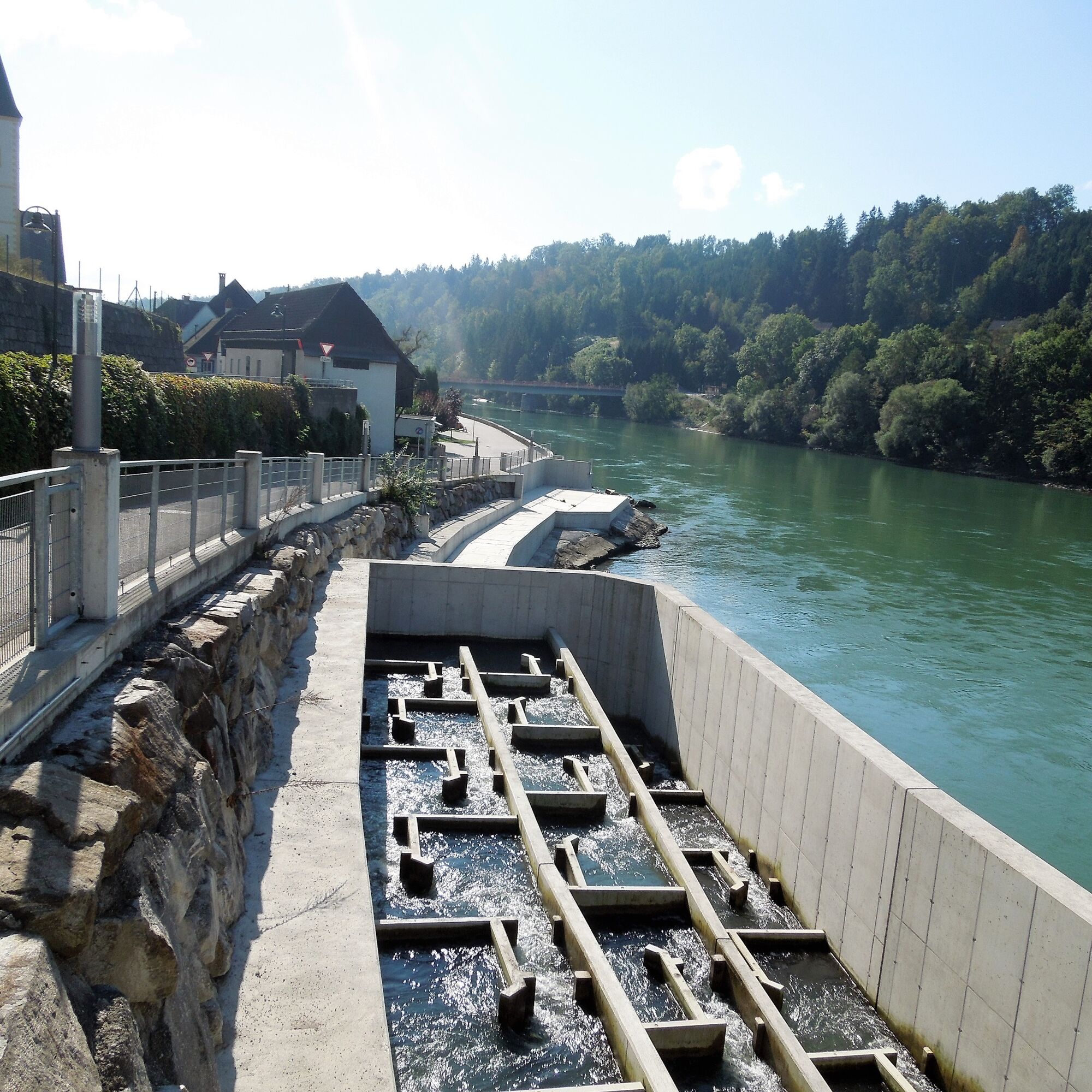

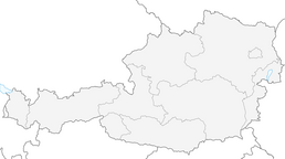
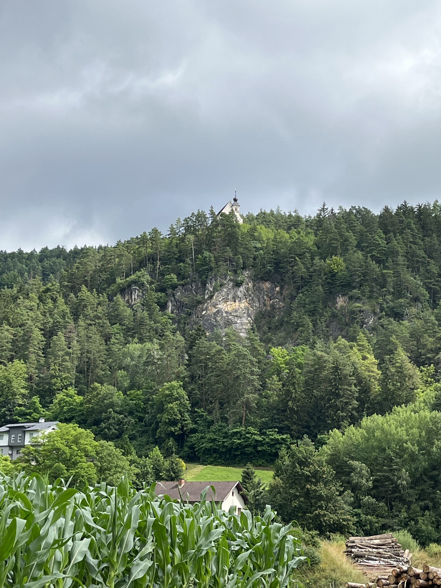
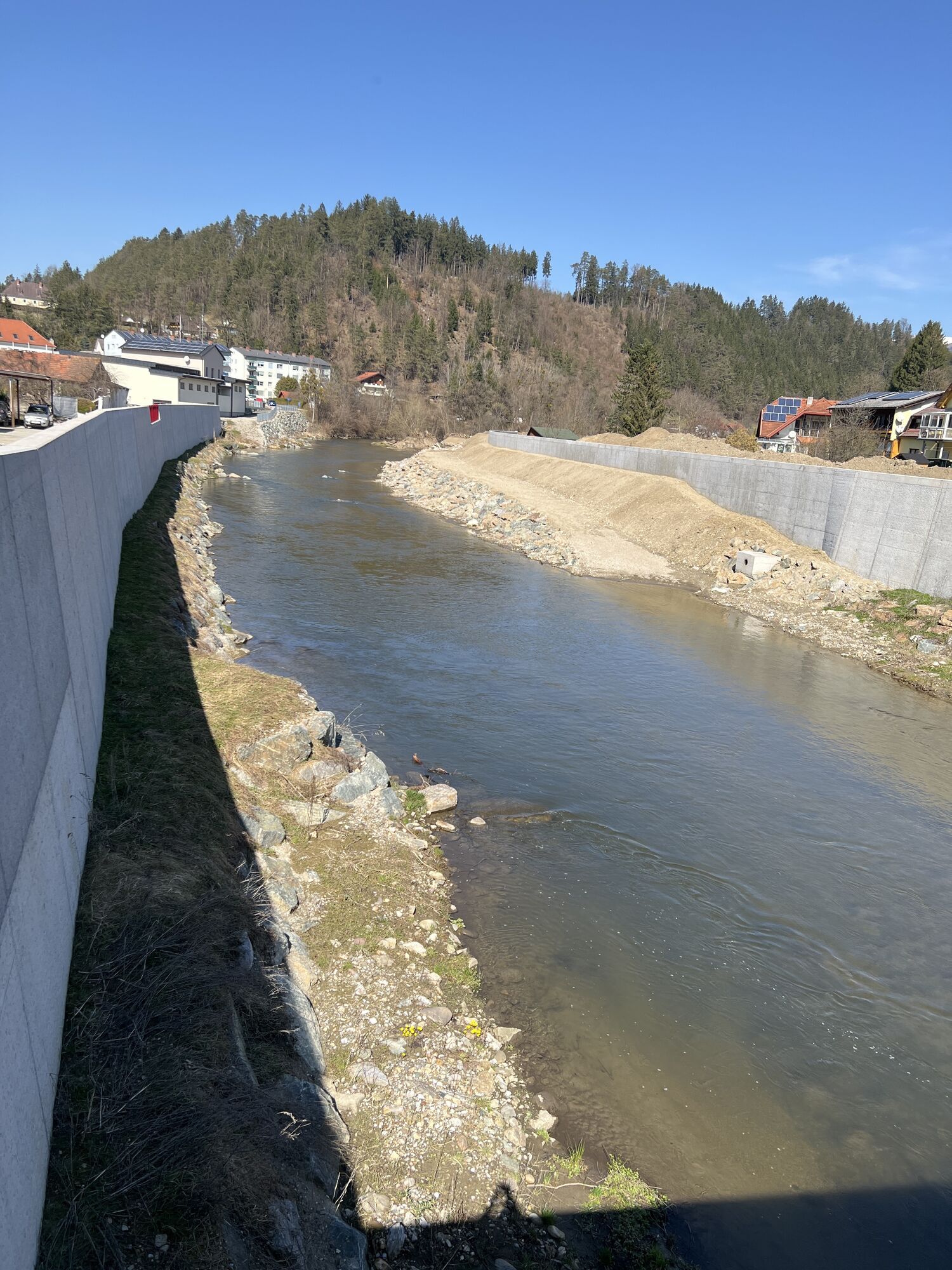
The start is at the municipal office/Info Center Lavamünd. On the bike path, along the Drau river, past Lavantspitz (confluence of the Lavant into the Drau), the route goes to the Gasthof Hüttenwirt. Continuing on the Drauradweg R1, heading towards the national border, after about 2.5 km, turn left (signpost) onto Lorenzenberg (The Drauradweg R1 runs from the source of the Drau in Toblach in Italy for 366 km along the river of the same name through East Tyrol, Upper Carinthia, Southern Carinthia to Maribor in Slovenia). On a narrow and partly very steep mountain road laid out in switchbacks, the tour leads up to Magdalenskirche. Turning left onto the Sobother Landesstraße, cycle to Koglereck. At 1357 m, this is the highest point of the tour and thus the most demanding part of the route reached. After a short drinking break, following the signposts towards Lamprechtsberg - Ettendorf, the route continues relaxed back to the starting point.
If you have brains, protect them!
The helmet is a matter of course when mountain biking.
Proper clothing!
Also carry warm clothing and a spare jersey, especially in the shoulder seasons. In higher altitudes, bad weather without rain protection is uncomfortable.
Carry emergency equipment!
First aid kit, bike repair kit (spare tube, pump, tools), map, mobile phone and possibly GPS are always carried (Note: Reception in the mountains is not guaranteed everywhere).
Drink regularly & eat timely!
Drink sufficiently and plan a stop in good time. A hunger break in the middle of nowhere is tough.
Adjust your speed!
Always ride defensively and only fast enough that you can stop in time before obstacles or avoid oncoming traffic. Always be attentive. Cool is the rider who passes pedestrians and hikers slowly.
Proper self-assessment!
Do not overstrain yourself and your companions. Plan reserves. A breakdown before the last mountain or bad weather reduces endurance and morale.
Start early!
Especially in the shoulder seasons, ensure that you reach your day's goal long before nightfall and plan reserves.
Bad weather in the mountains!
If bad weather approaches, leave higher altitudes quickly (descent or turn back)! With the bike, you can quickly reach the starting point or valley again. Consider the possibility of snowfall. Impassable route sections! If obstacles appear on the route (snow, debris flow, windthrow, etc.), make sure you can get through safely. Never leave the marked trail! Turn back early enough if you don't feel safe!
Possible by bus.
ÖBB-Postbus timetable
Parking available.
Information at Lavamünd
Lavamünd Climbing Garden
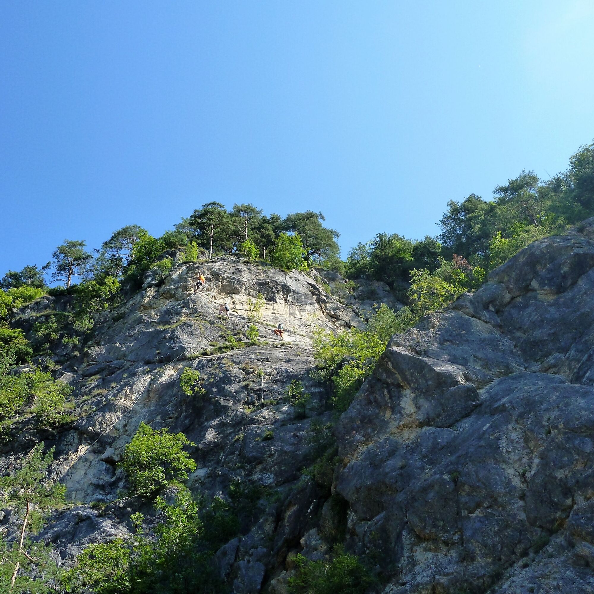
Climbing is currently one of the trendy sports, and the municipality of Lavamünd offers athletes the opportunity to pursue the popular sport with its climbing garden.
The climbing garden was established on the Dreifaltigkeitsfelsen and is open for free use. Maximum safety and a respectful approach to nature should be a given. "Wild" climbing is dangerous for untrained amateurs. Beginners should definitely be initiated into this exciting sport by climbing professionals. Then nothing stands in the way of a first conquest of the wall secured and alone.
Pridobite vpogled Vedno v živo na mestu z več kot 9.500 spletnimi kamerami. bergfex Kot uporabnik Pro si lahko zdaj ogledate ustrezne spletne kamere za številne izlete v aplikaciji izleti iz. Tako si lahko neposredno ogledate trenutne razmere. Priljubljeni izleti v okolici
- 4,2
St. Paul: Klettergarten und Klettersteig Rabenstein
srednjaVia ferrata 0,89 km - 4,7
St. Paul: Most Hiking Trail 1-3
težkoPohodništvo 22,0 km - 4,2
Soboth Runde St.Vinzenz-Dreieckhütte-Gundischhütte
svetlobaPohodništvo 12,4 km - 2,9
Lavamünd: Klettergarten u. Klettersteig Dreifaltigkeitsfelsen
srednjaVia ferrata 1,11 km Lavanttal High Trail: Stage 2 from the Stiftshütte to the Weinebene
srednjaPohodništvo 16,8 km- 4,5
Spazierweg Stausee Soboth
svetlobaPohodništvo 3,75 km - 4,0
Brendlhütte - kurze Runde
srednjaPohodništvo 6,69 km - 3,8
St. Georgen: Cultural hiking trail Spitzelofen
srednjaPohodništvo 7,78 km - 4,7
Koralpe: Berni's oven adventure trail
svetlobaTematska pot 2,57 km - 3,5
Glashütten Rundweg
srednjaPohodništvo 15,5 km
Pohodništvo in sledenje


Ne zamudite ponudb in navdiha za naslednje počitnice
Vaš e-poštni naslov je bil dodan na poštni seznam.





