







MTB 7 - Limberger View Circular Route - St. Gertraud/Frantschach
Stopnja težavnosti: S1
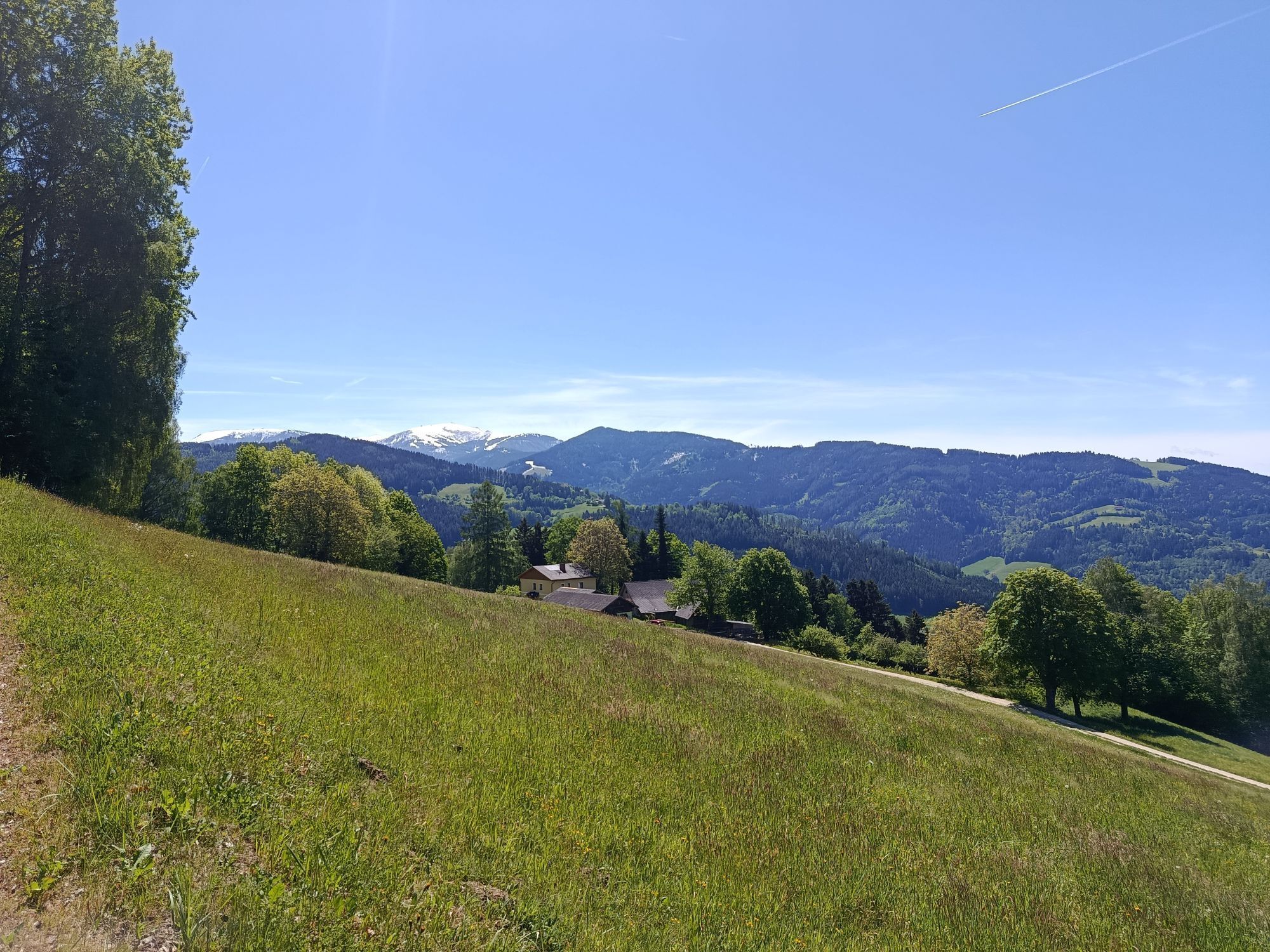
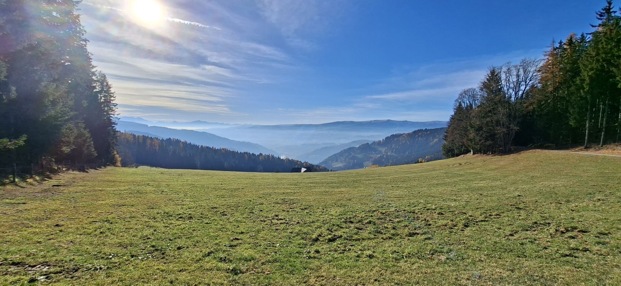
A very varied MTB tour in terms of route with 1150 m elevation gain and a distance of approx. 30 km. Despite the physically very demanding route, the biker is rewarded with some beautiful viewpoints over...
A very varied MTB tour in terms of route with 1150 m elevation gain and a distance of approx. 30 km. Despite the physically very demanding route, the biker is rewarded with some beautiful viewpoints over the Lavanttal. Also suitable for e-bikers.
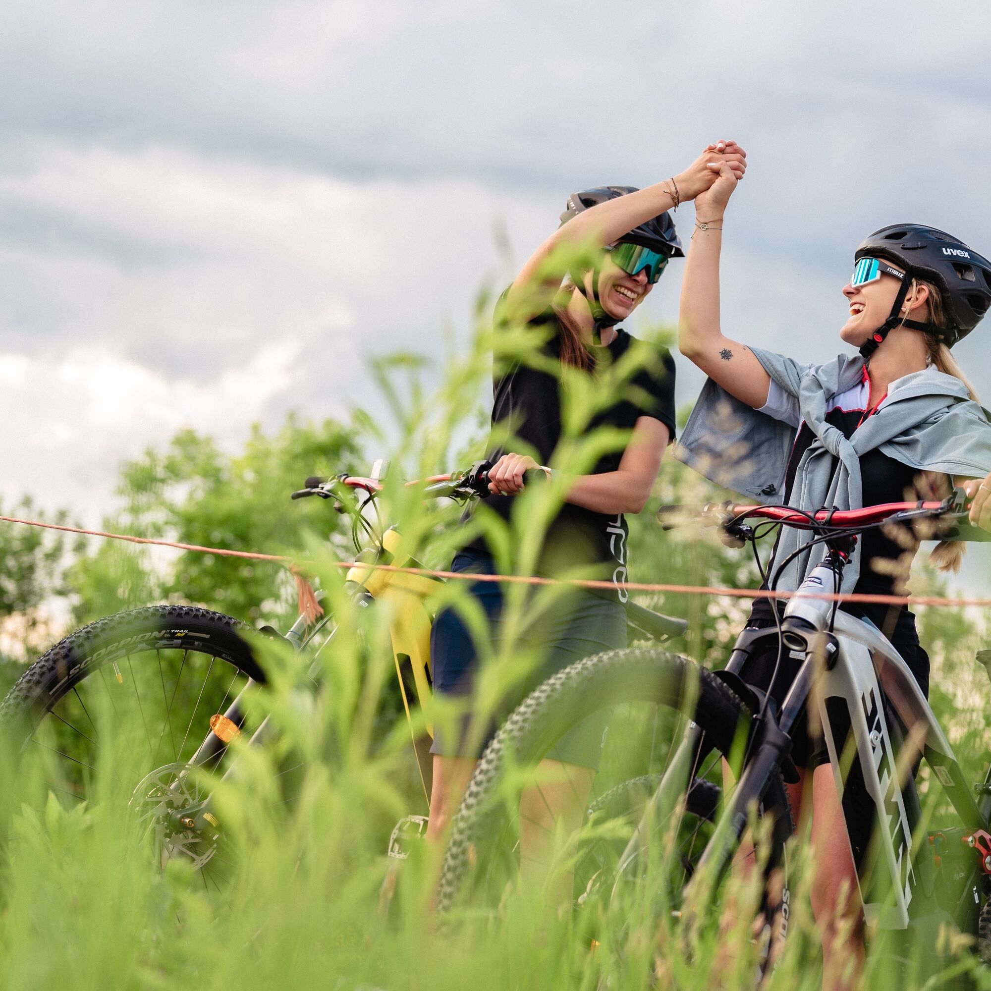
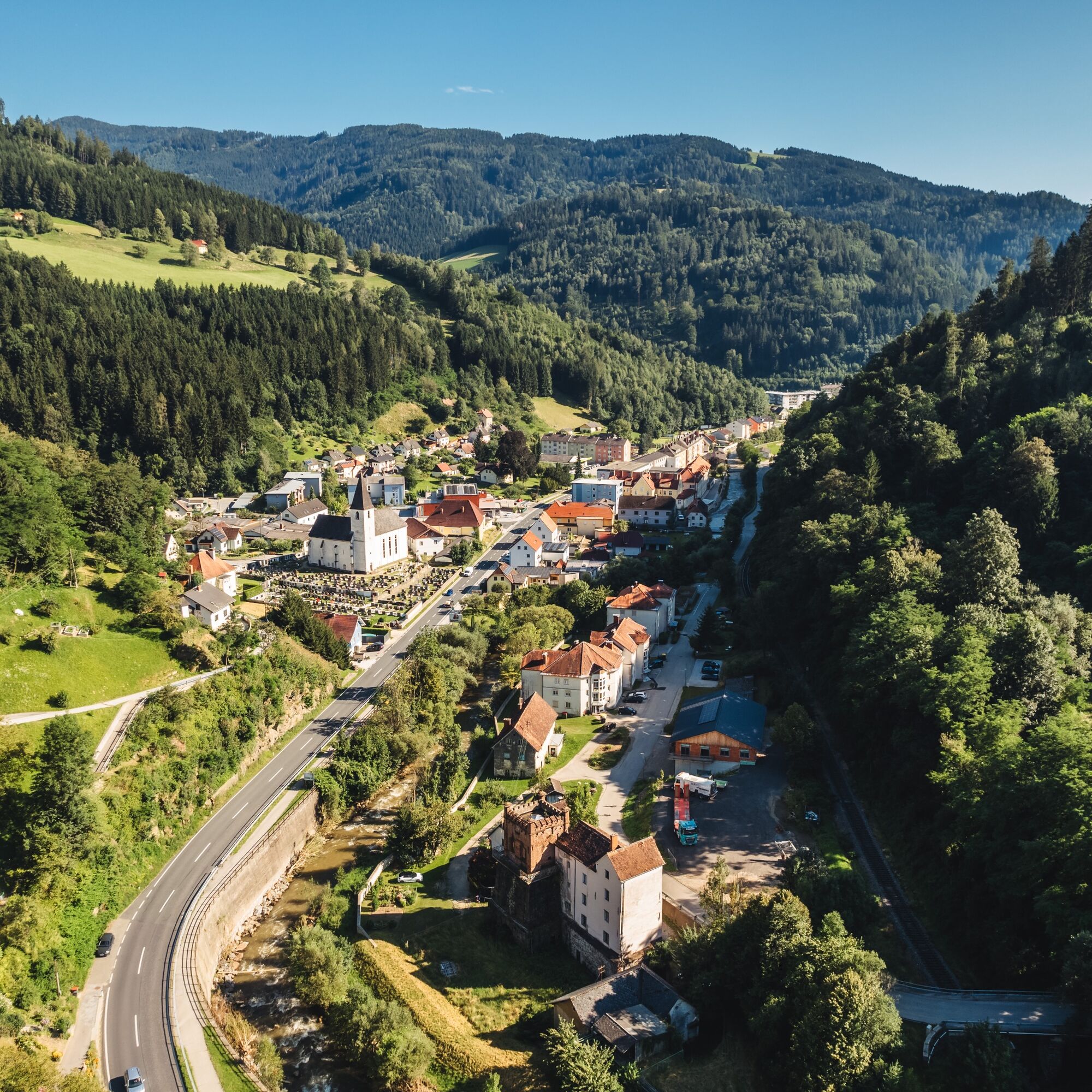
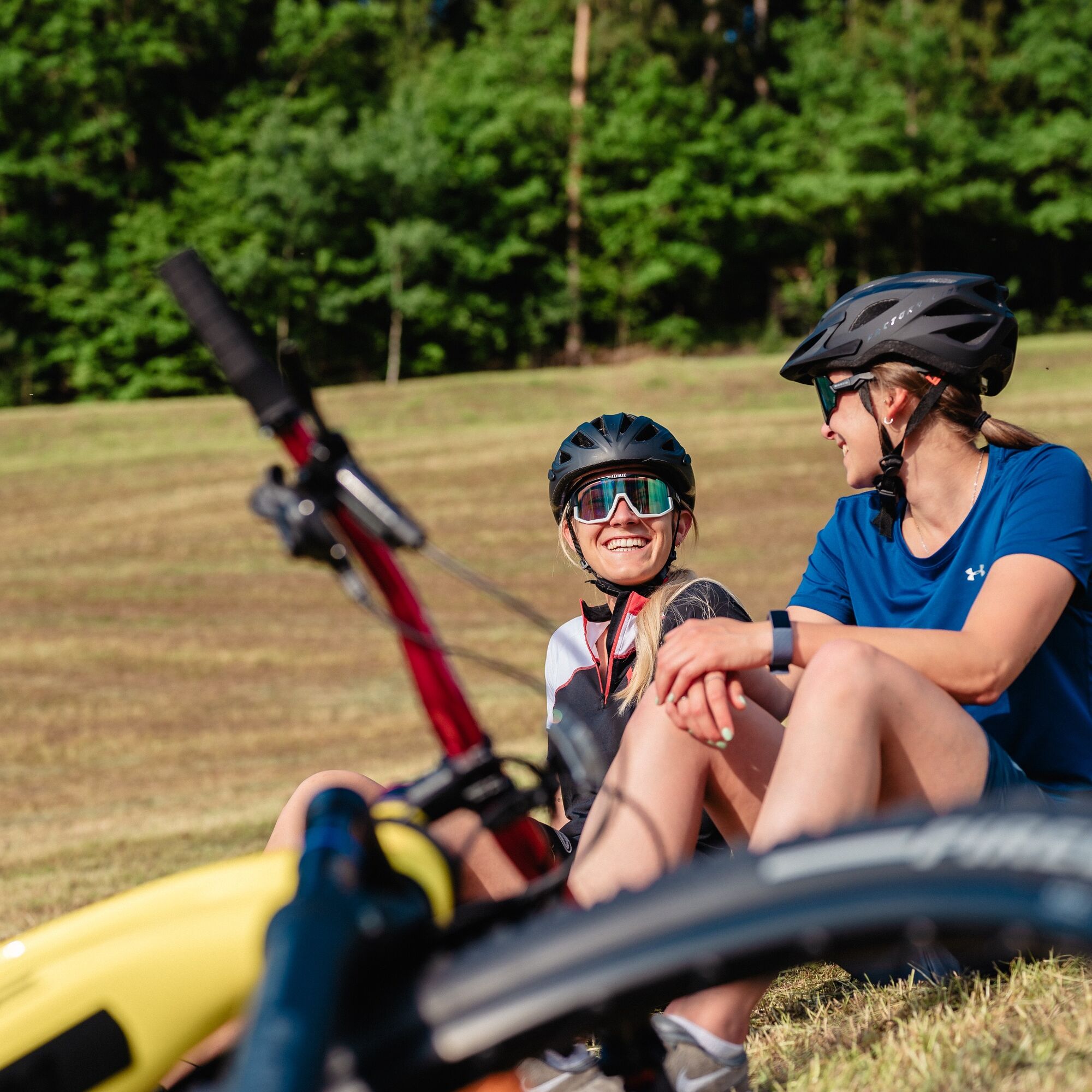
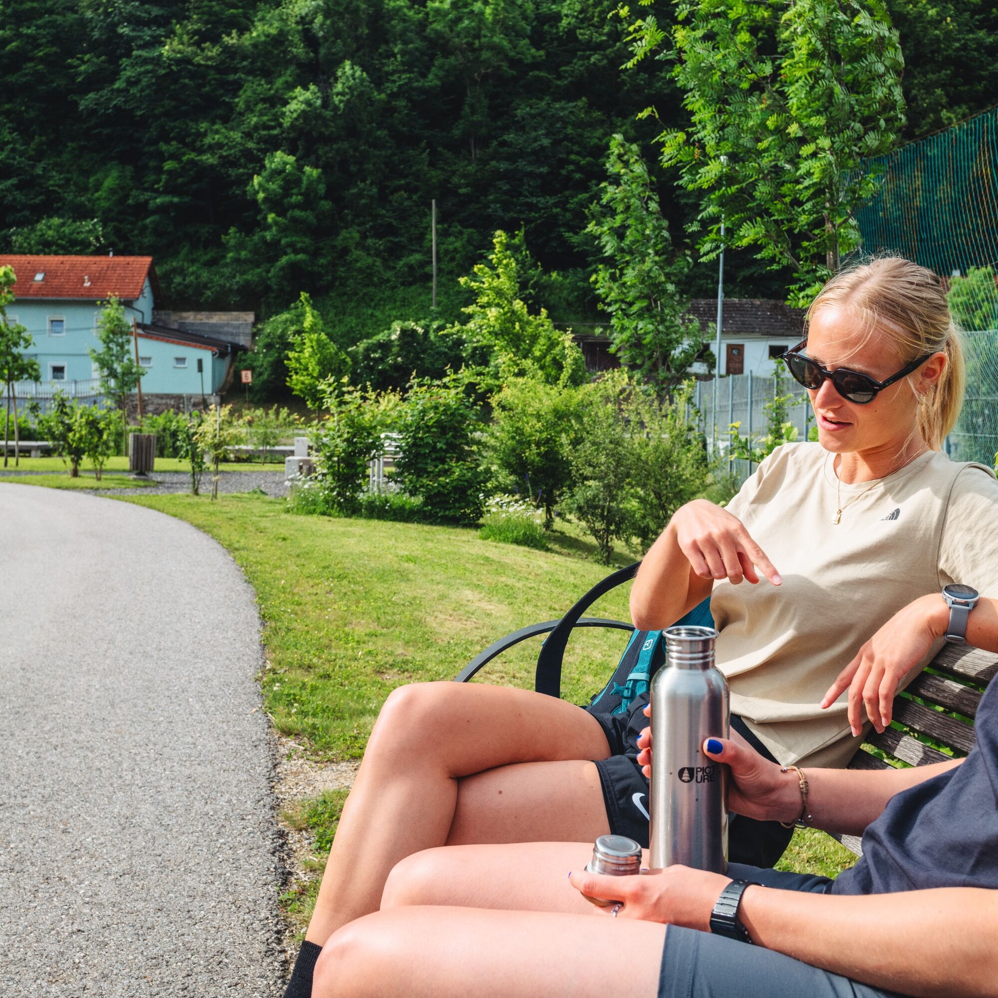
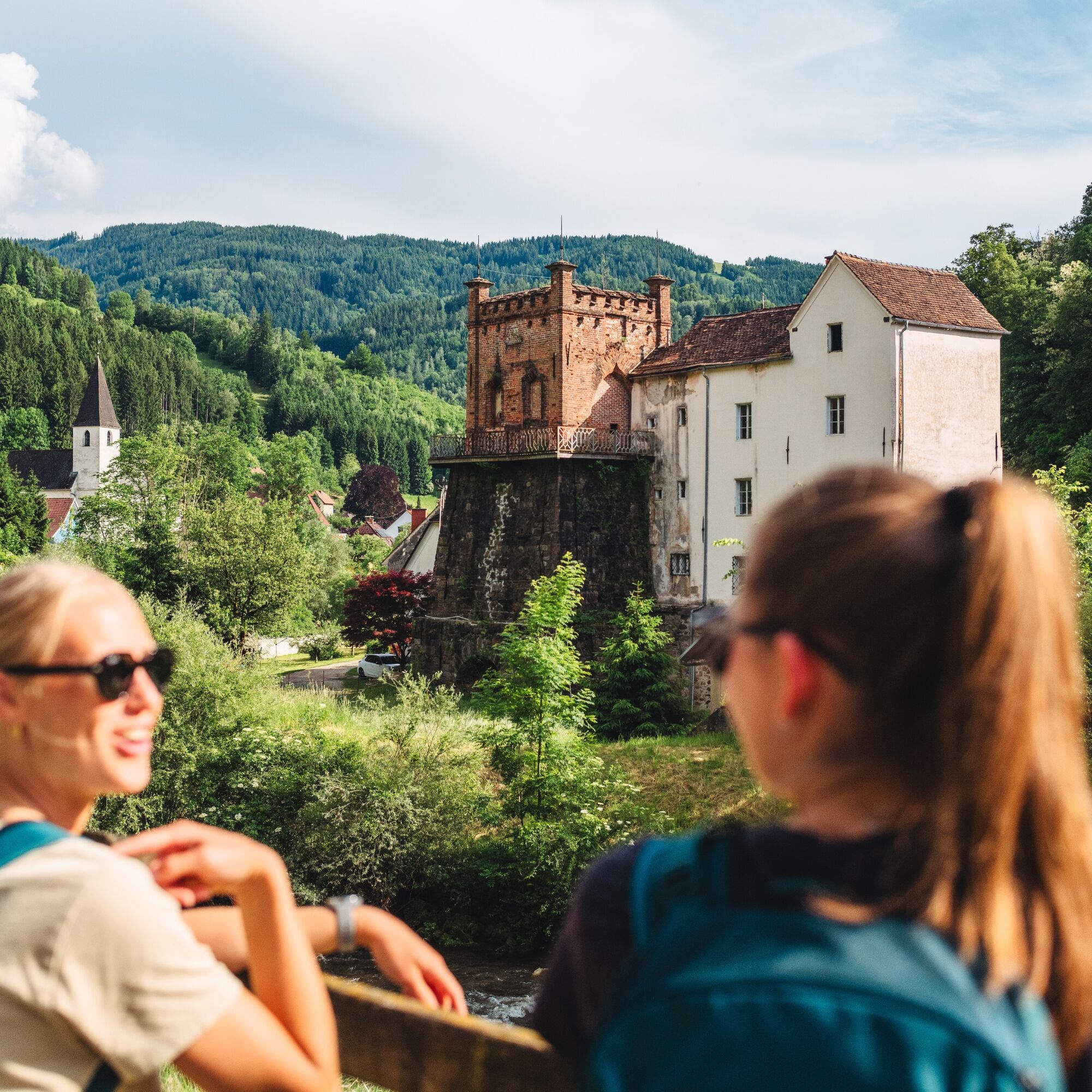
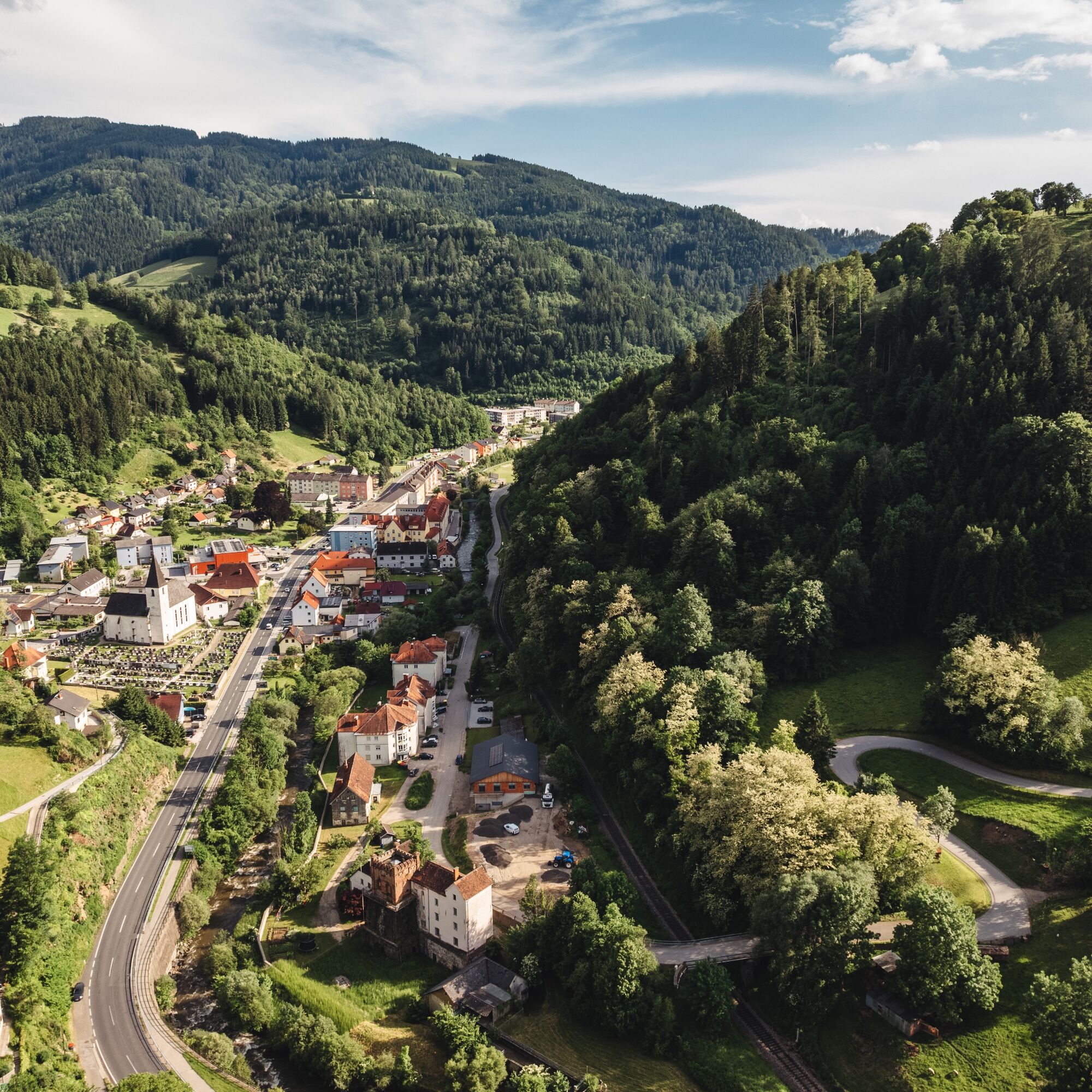

In St. Gertraud, turn right at the Kirchenwirt towards Weinebene (signpost). At the bus stop, turn right over the Fraßbach and after about 300 m continue on the water educational trail. After 1 km, leave the themed trail and cycle along the narrow mountain road (little traffic) to the next stage point, the water tower (beautiful panoramic view of the valley). Continuing on the road, after about 3 km you reach the Weinebene state road. At 1116 m elevation, the first and longest of a total of three climbs of this physically very demanding tour is reached (ascent 464 m). For recovery, go downhill on the state road to the Fotz bridge. Cross the bridge and cycle uphill along the Fraßbach (Plachgraben) to the first possible rest stop, the Landgasthaus Langhans. Shortly after, at 1269 m elevation, the highest point of the tour is reached. After recovering downhill, there is one more short climb to the village of Kamp at 1182 m elevation. Via Limberg, with partly wonderful views of the entire Lavanttal, it goes leisurely back to St. Gertraud.
Da
If you have a brain, protect it! A helmet is a must when mountain biking.
Proper clothing!
Carry warm clothing and a spare jersey even in summer, especially in early and late season. At higher altitudes, bad weather without rain protection is unpleasant.
Carry emergency equipment!
First aid kit, bike repair kit (spare tube, pump, tools), map, mobile phone and possibly GPS are always with you (note: reception is not guaranteed everywhere in the mountains).
Drink constantly & eat in time!
Drink enough and plan a stop in good time. A hunger break in the middle of nowhere is tough.
Adapt your speed!
Always ride defensively and only as fast as you can stop in time for obstacles or avoid oncoming traffic. Always be attentive. Cool is the one who slowly rides past pedestrians and hikers.
Proper self-assessment!
Do not overstrain yourself and your companions. Plan reserves. A breakdown before the last mountain or bad weather saps endurance and morale.
Start on time!
Especially in early and late season, make sure you reach your daily goal well before dark and plan reserves.
Bad weather in the mountains!
If bad weather approaches, quickly leave higher areas (descent or turn back)! With the bike, you can quickly return to the starting point or the valley. Consider the possibility of snowfall. Impassable route sections! If obstacles appear on the route (snow, mudslide, windthrow, …), make sure you can safely pass through. Never leave the marked path! Turn back early enough if you don't feel safe!
see route planner
Arrival possible by postbus – info under ÖBB - Postbus
Parking options in the municipality of St. Gertraud
S1
The Ore Hiking Trail in Frantschach/St. Gertraud.
Experience the Ore Hiking Trail, which the miners used from the 16th to the late 19th century to bring the raw ore obtained under unimaginable physical strain from the tunnels on the Wölch to the blast furnace "Hammer".
 Pridobite vpogled
Vedno v živo na mestu z več kot 9.500 spletnimi kamerami. bergfex Kot uporabnik Pro si lahko zdaj ogledate ustrezne spletne kamere za številne izlete v aplikaciji izleti iz. Tako si lahko neposredno ogledate trenutne razmere.
Pridobite vpogled
Vedno v živo na mestu z več kot 9.500 spletnimi kamerami. bergfex Kot uporabnik Pro si lahko zdaj ogledate ustrezne spletne kamere za številne izlete v aplikaciji izleti iz. Tako si lahko neposredno ogledate trenutne razmere.
Priljubljeni izleti v okolici
-
4.7
Koralpe: hike to the summit cross
svetlobaZimsko pohodništvo 4.23 km -
4.4
Koralpe: Pohod na vrh Veliki Speikkogel
srednjaSmučarska tura 11.6 km -
4.6
Filzmoos - Runde, Hebalm
svetlobaPohodništvo 8.28 km -
4.5
Weinebene - Moschkogel - Rundweg
svetlobaPohodništvo 7.27 km -
4.4
Großofen, Hebalm
svetlobaPohodništvo 10.1 km -
4.3
5-Almhüttenwanderung
svetlobaPohodništvo 14.3 km -
4.3
3-Almhüttenwanderung
svetlobaPohodništvo 8.31 km -
4.5
PP Weinebene-Grillitschh.-Gr.Speik-Hühnerstütze-PP Weinebene
srednjaPohodništvo 19.6 km -
3.4
Packer Stausee
svetlobaPohodništvo 7.47 km -
4.4
Hahnhofhütte - Reinischkogel - Klugveitl - Hahnhofhütte
svetlobaPohodništvo 12.9 km
Pohodništvo in sledenje


Ne zamudite ponudb in navdiha za naslednje počitnice
Vaš e-poštni naslov je bil dodan na poštni seznam.





