


ST1 Matschiedl Rauterbauer
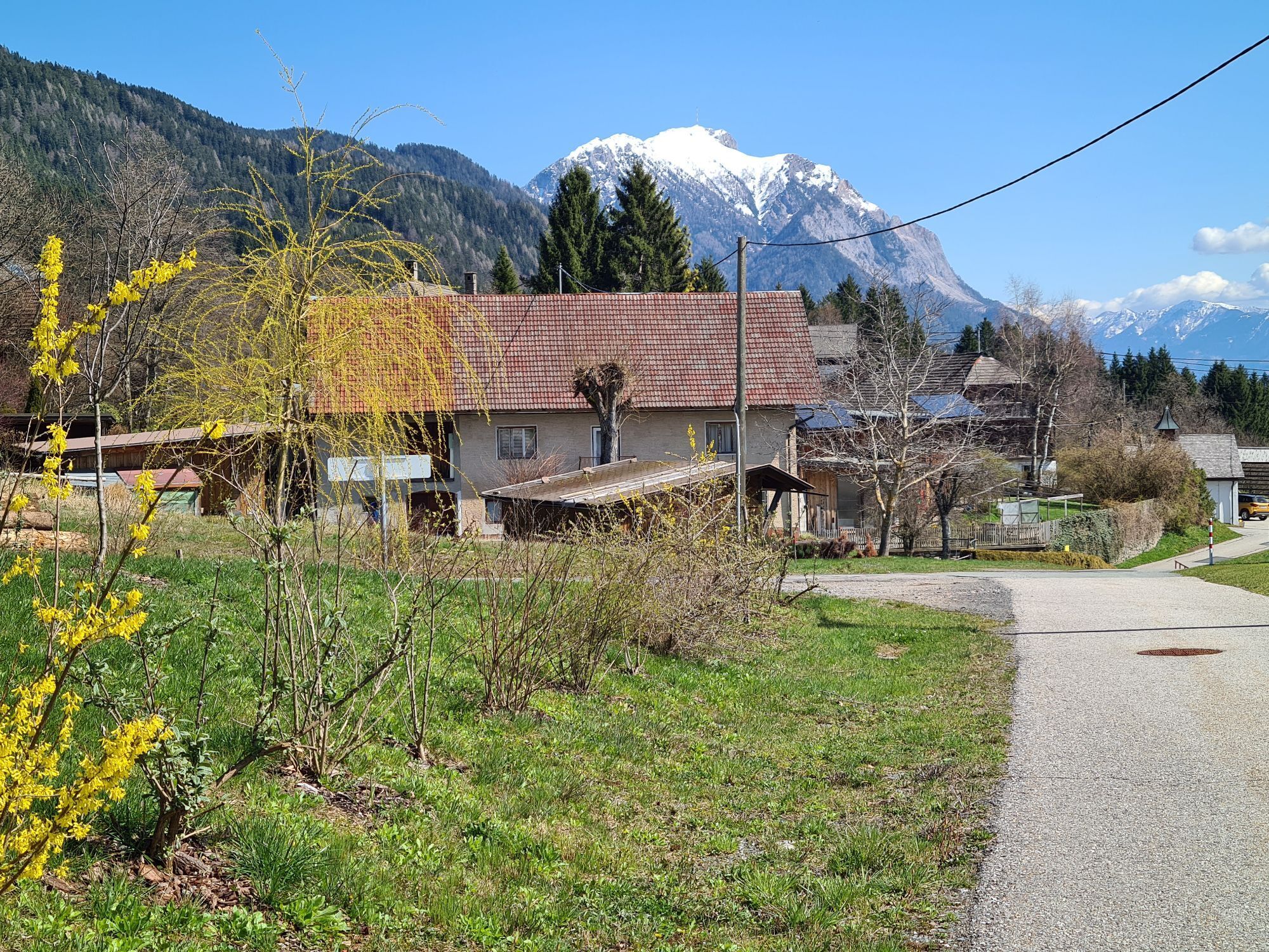
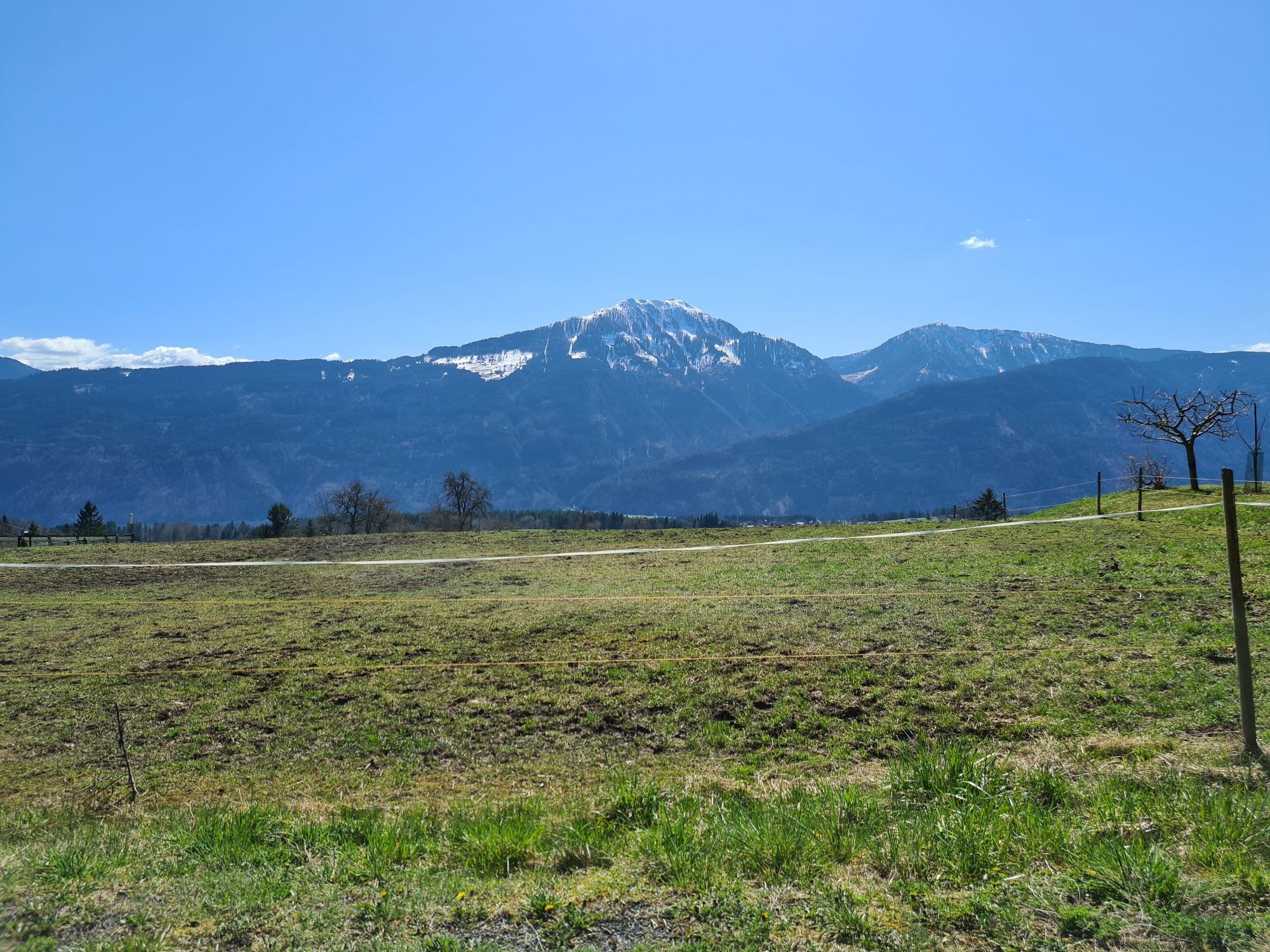
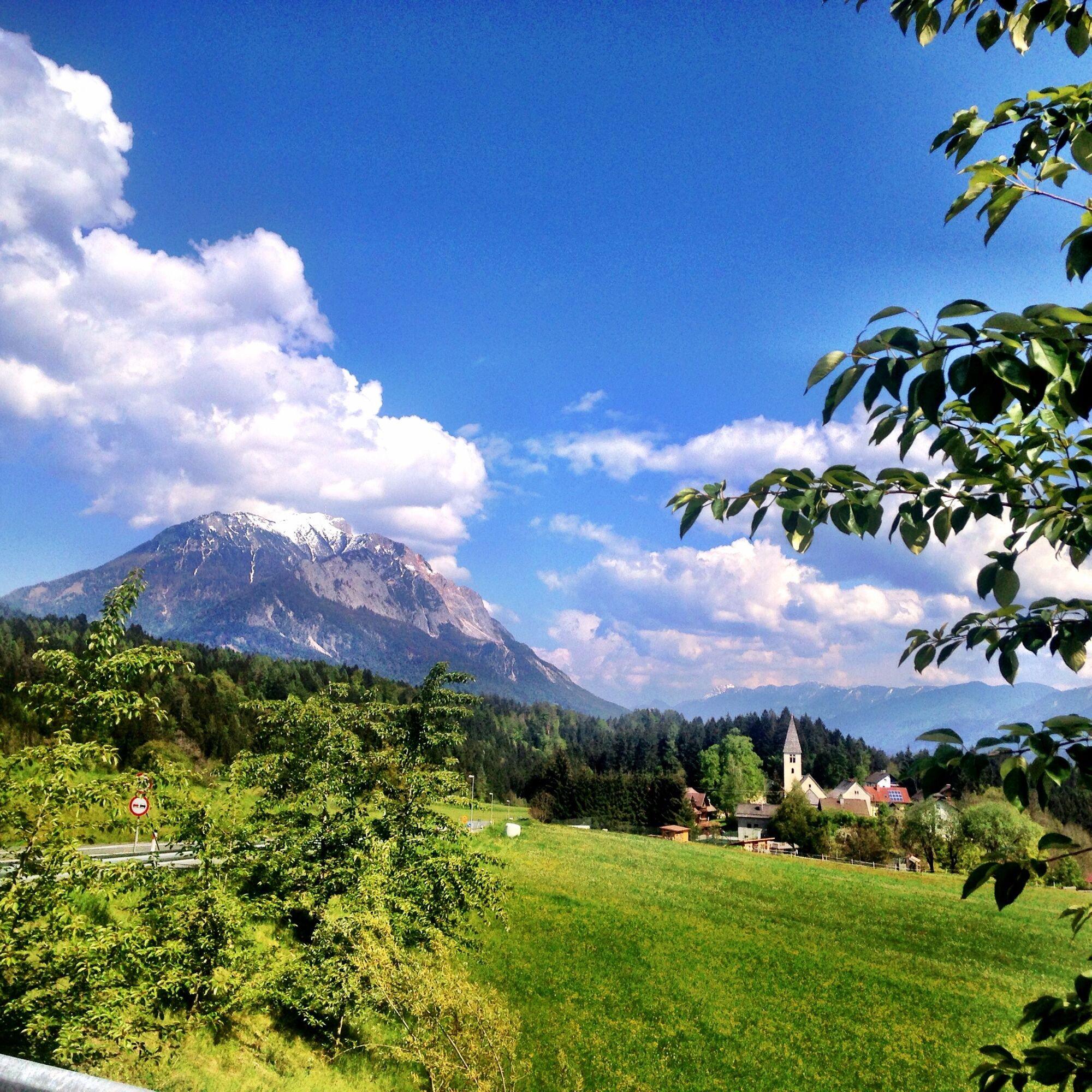
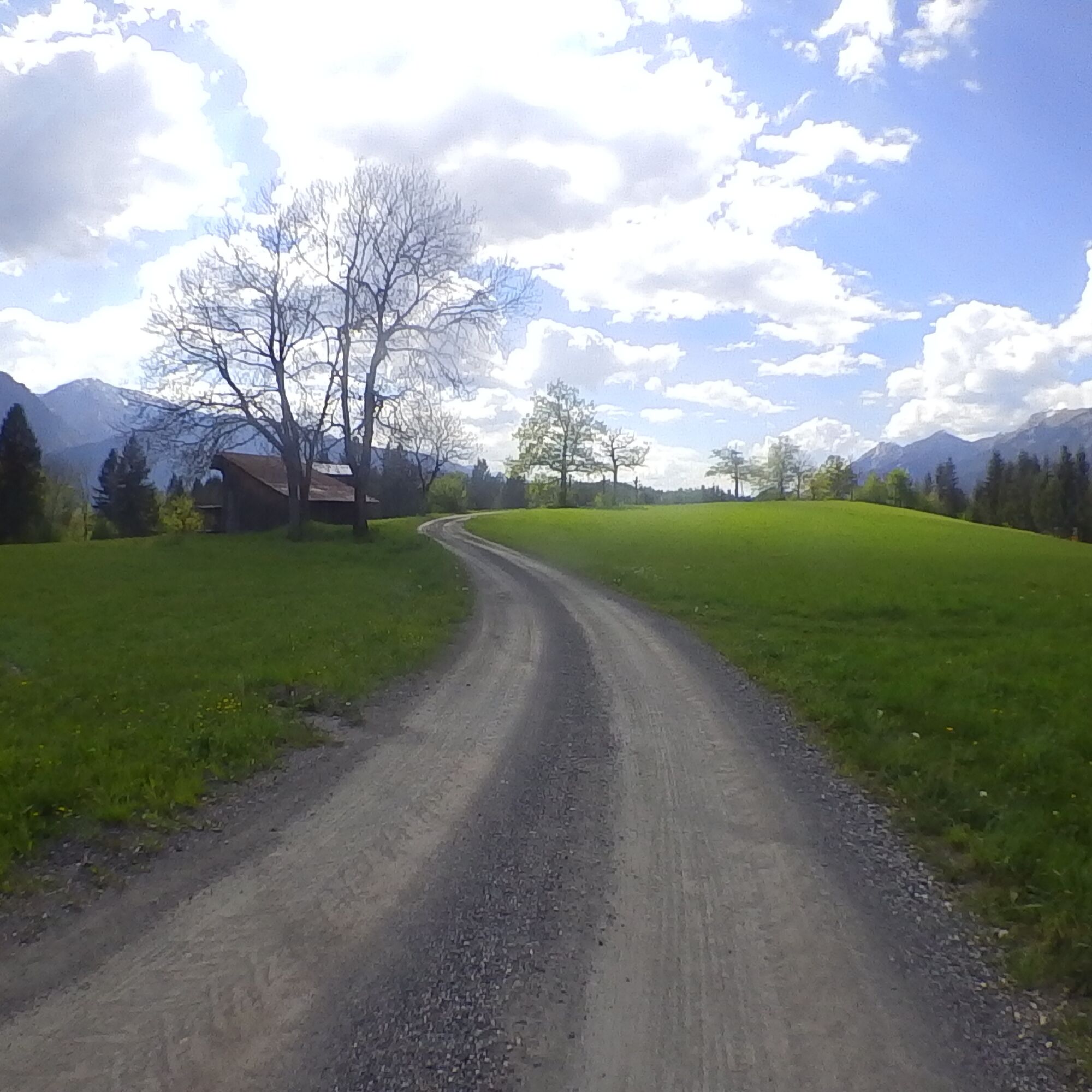
The route to Matschiedl and the Rauterbauer runs variedly through several romantic villages. Uphill and downhill sections alternate constantly, and the surface also often varies.
Surface:
Asphalt Gravel...The route to Matschiedl and the Rauterbauer runs variedly through several romantic villages. Uphill and downhill sections alternate constantly, and the surface also often varies.
Surface:
Asphalt Gravel Forest paths Meadow paths Simple, very short trail sections


From the starting point northeast over the Gail river and the railway, turn right onto an asphalt road to the first hairpin bend, here turn right and slightly downhill to an intersection (km 1.7), then left uphill into the village of Karnitzen, 632m.
At km 2.4 keep right and uphill to the B111 (Map 4; km 3.6); after 20m turn left uphill to St. Paul,
at km 4.0 turn left and go via Bichelhof Castle to Hadersdorf, 750m (km 5.9).
Continue northwards to Tratten, eastwards on a state road towards Kerschdorf, at km 7.2 (Map 6) turn left to Matschiedl;
At km 8.5 (Map 7) junction onto the road to Windischer Höhe, briefly downhill left and immediately turn right to Rauterbauer, through the farmyard, at the large tree turn left downhill on a gravel path,
at km 10.2 creek crossing, before the first houses turn right from the gravel path into a forest crossing, past a gravel pit,
from km 10.9 on an asphalt road to Köstendorf;
at the Kreuzwirt inn (km 12.9) turn left, on a narrow asphalt road slightly downhill to the B111 underpass (Map 9; km 13.2), downhill on a coarse gravel path,
at km 14.8 junction onto an asphalt road, here right downhill over the Gail bridge to the bike path R3, keep left and back to Vorderberg.
Helmet mandatory!!!!!!!
Proper clothing: Adjust your clothing not only to the current weather conditions. Also pack warm clothing, a spare jersey, and rain protection, especially in late spring and early autumn, even in summer.
Emergency equipment: first aid kit, repair set (spare tube, pump, tools), map, mobile phone, and possibly GPS
WARNING: Mobile reception is not guaranteed everywhere in the mountains!
Take enough to drink with you and plan a timely stop
Line closed – absolute driving prohibition!
Always drive at half sight distance.
Always adjust your speed so you can stop in time before obstacles or avoid oncoming traffic
Watch out for pedestrians and hikers and drive slowly past
Riding the route with motorcycles will without exception be reported.
Use of the bike routes is at your own risk.
In the forest, camping, staying in the dark, making fires, disturbing wildlife, or entering forestry areas under 3 m tree height is legally prohibited.
Constantly check your sports equipment and wear a helmet
Only use the released, marked routes.
Do not leave the marked path under any circumstances
Please show consideration for the environment. Avoid noise and pollution. Limit riding at dusk to protect wildlife.
Observe traffic regulations and provide first aid if necessary.
Always close pasture gates and doors. Beware of forestry work!
Proper self-assessment
Start early and plan reserves
Leave higher altitudes in bad weather
Make sure you can safely pass impassable sections. If you feel unsure, turn back early enough
For safe coexistence, please follow the Fair Play rules (Link) Emergency number: (+43 4282)112
On the South Motorway (A2) to the Arnoldstein exit, westwards via the Gailtal Road (B111) to Feistritz, then turn off to Vorderberg up to the natural swimming pool
Alternativ dazu gibt es auch die Möglichkeit mit dem Bus aus Richtung Kötschach-Mauthen (über Hermagor) oder Villach bis nach St.Stefan im Gailtal anzureisen.
Von St. Stefan bis Vorderberg sind es ca. 13 Gehminuten.
Details unter - Mobilitätsinfos Nassfeld sowie Routenplaner Kärntner Linien
Public parking spaces are available directly at the starting point.
Dies und noch viele weitere Infos findest du unter - Tourentipps und Anbieterinfos
Einkehrmöglichkeiten:
In Vorderberg sowie in den Ortschaften entlang der Route gibt es zahlreiche ganzjährig geöffnete Einkehrmöglichkeiten - Details dazu unter Service A-Z.
A varied mountain bike route for everyone that shows us much of the enchanting landscape of the region!
Priljubljeni izleti v okolici
-
4.5
Auf den Dobratsch mit der ganzen Familie
Pohodništvo 8.40 km -
4.9
Monte Lussari über den alten Pilgerweg
srednjaPohodništvo 6.43 km -
4.9
Orrido dello Slizza, Tarvisio, Italië
svetlobaPohodništvo 2.65 km -
4.7
Gailtaler Alpen: Wanderung auf der Dobratsch
srednjaPohodništvo 8.50 km -
4.5
Monte Lussari
srednjaSmučarska tura 10.7 km -
5.0
Bodenalm - Ostufer - mit dem Schiff zurück
Mountainbike 19.1 km -
4.2
Monte Santo di Lussari, Skitour, Pilgerweg
srednjaSmučarska tura 9.35 km -
4.2
RW_N16 Slow Trail Pressegger See
svetlobaPohodništvo 5.73 km -
3.8
Dobratsch über den Jägersteig
Pohodništvo 4.30 km -
4.7
Tschekelnock
srednjaPohodništvo 8.93 km

Pohodništvo in sledenje


Ne zamudite ponudb in navdiha za naslednje počitnice
Vaš e-poštni naslov je bil dodan na poštni seznam.