


HP1 Guggenberg route
Fotografije naših uporabnikov
 © Beate WressnigUstvarjeno na 13.07.2025
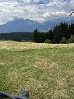
 © NeveUstvarjeno na 02.09.2024
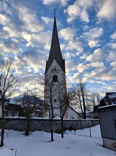
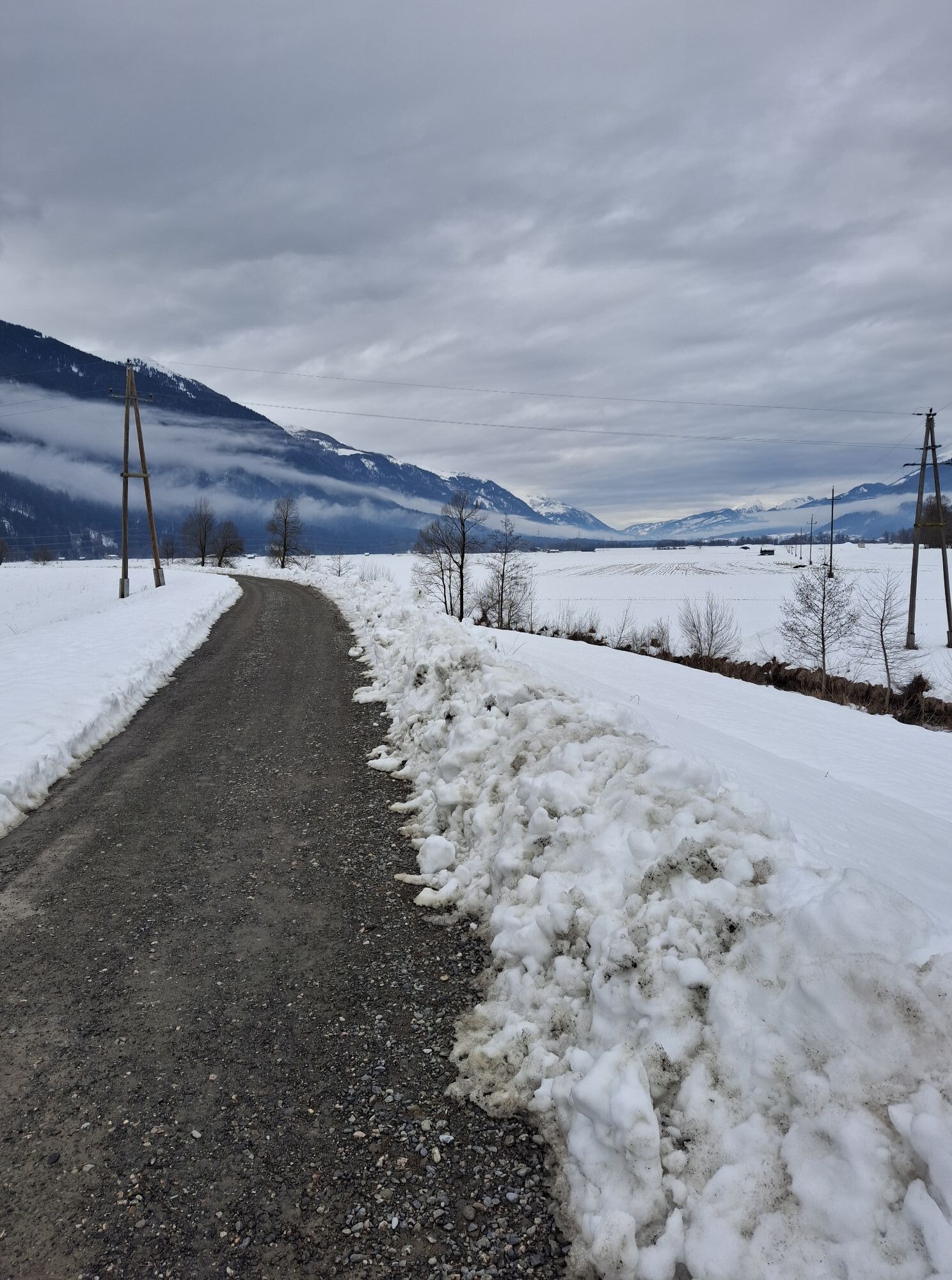
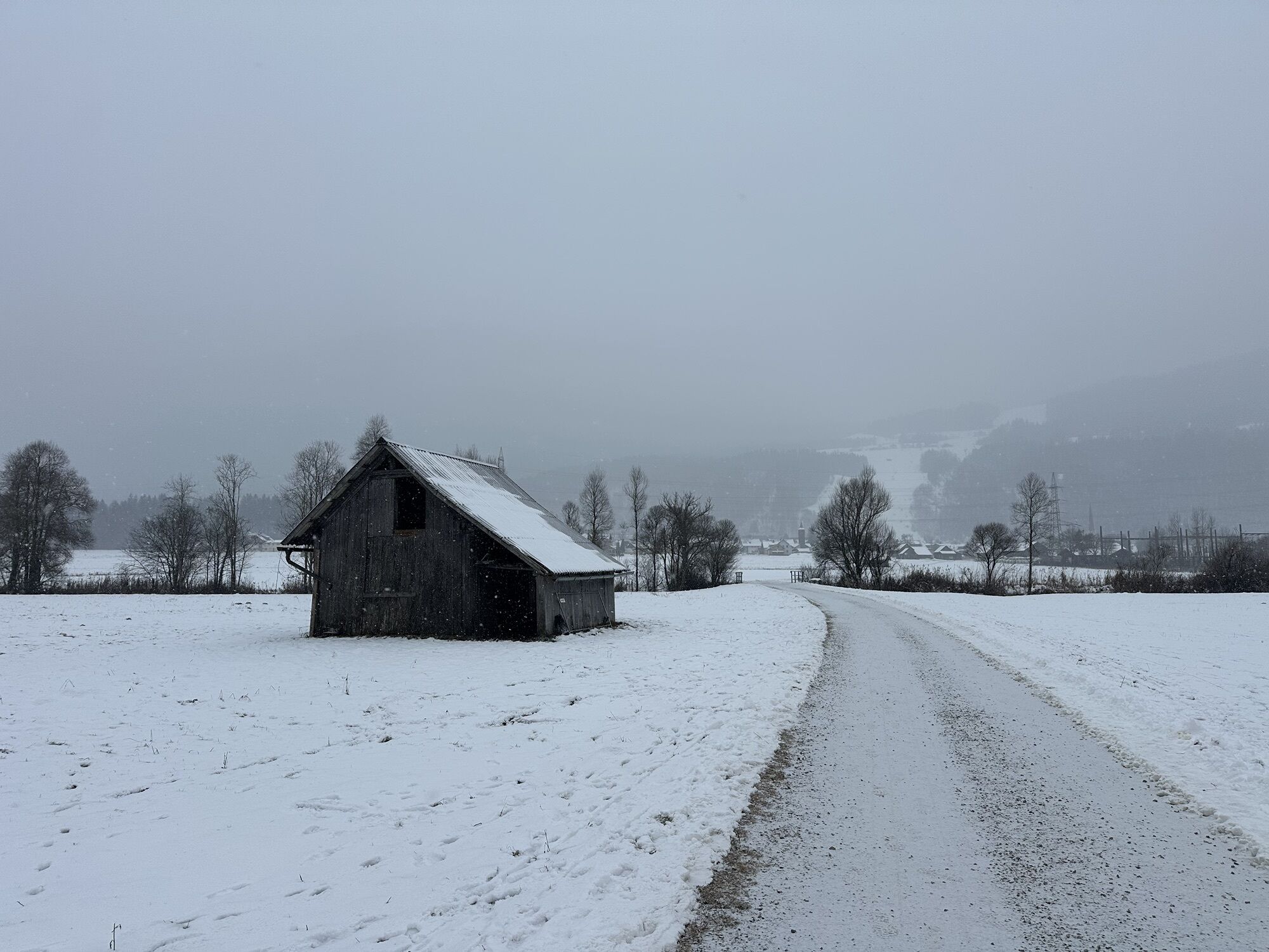
 © Veronika PodlešákováUstvarjeno na 09.02.2026
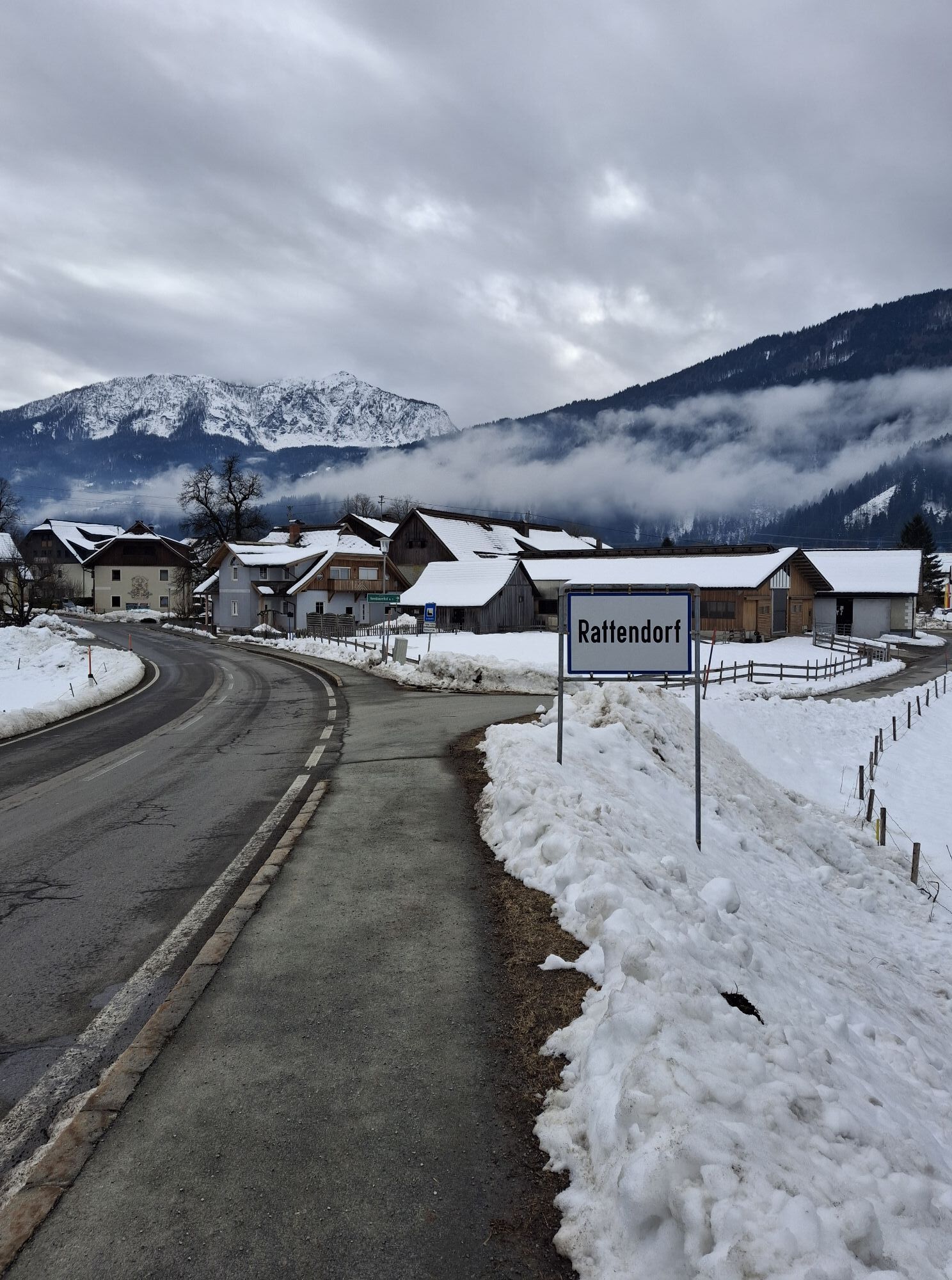
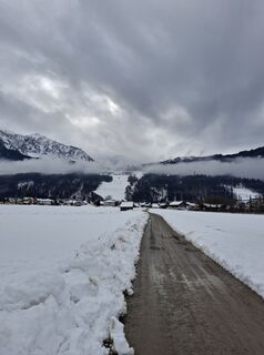 © Veronika PodlešákováUstvarjeno na 09.02.2026
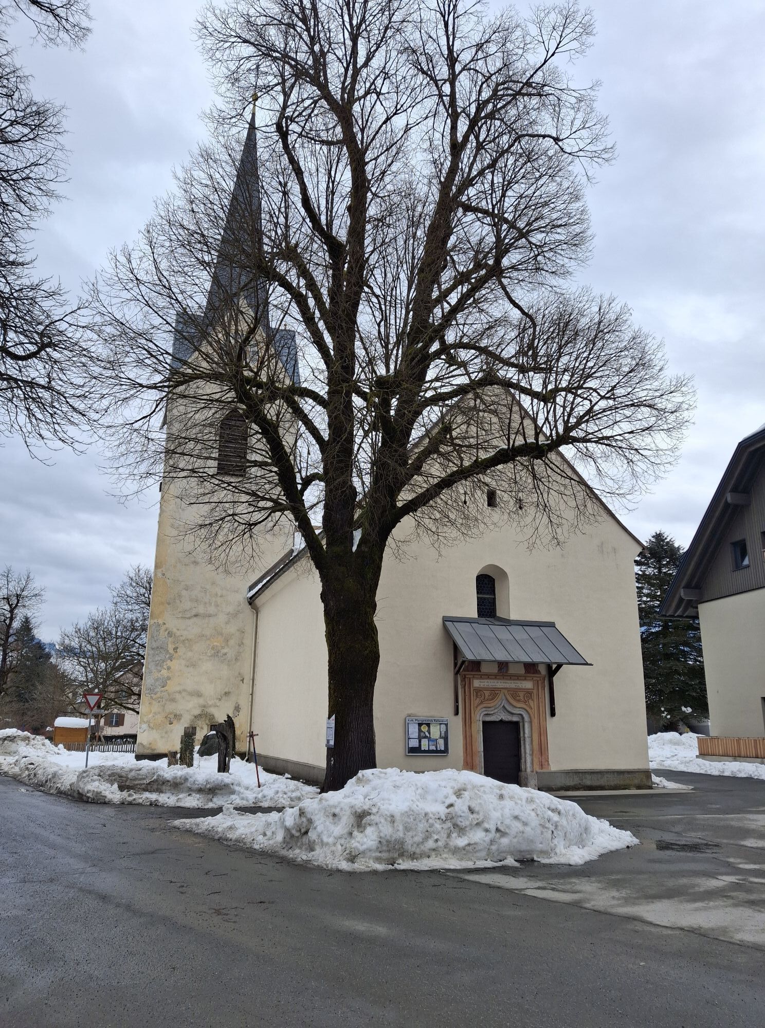
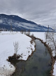 © Veronika PodlešákováUstvarjeno na 09.02.2026
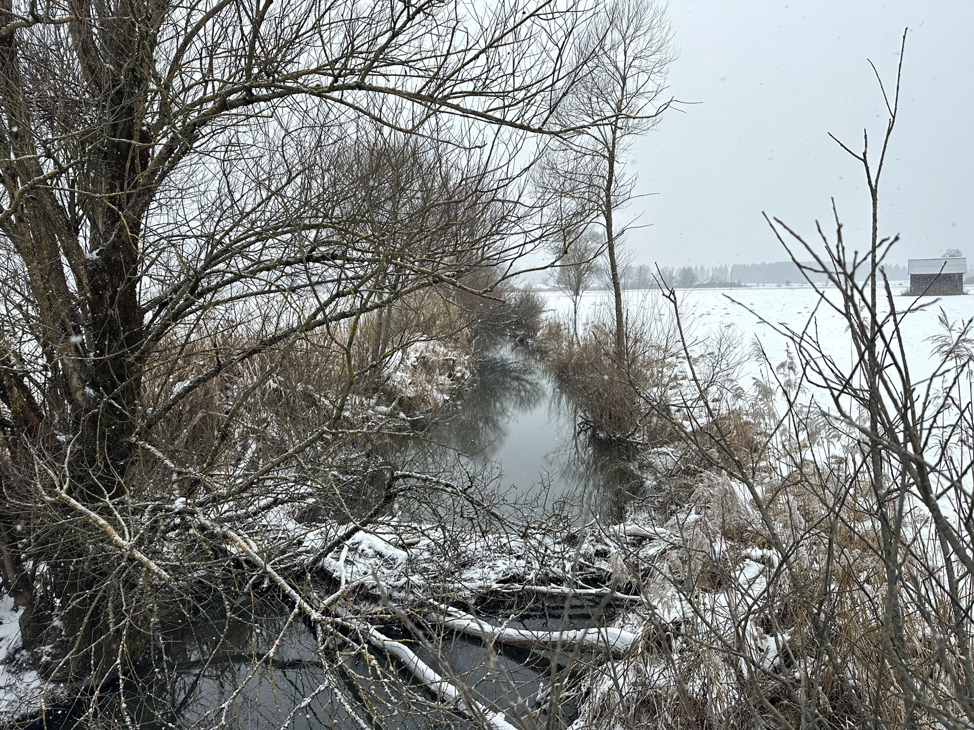
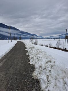 © Veronika PodlešákováUstvarjeno na 09.02.2026
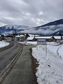 © Veronika PodlešákováUstvarjeno na 09.02.2026
 © Veronika PodlešákováUstvarjeno na 09.02.2026
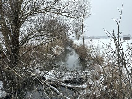
 © Sandra Van Beek-BontkesUstvarjeno na 06.01.2026
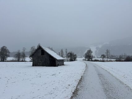 © Sandra Van Beek-BontkesUstvarjeno na 06.01.2026

From the valley station of the Millennium Express in Tröpolach, follow bike path R3 to the junction towards Möderndorf (KM 8) – here keep left and follow bike paths R3a and later R3b into the center of...
From the valley station of the Millennium Express in Tröpolach, follow bike path R3 to the junction towards Möderndorf (KM 8) – here keep left and follow bike paths R3a and later R3b into the center of Hermagor. After passing through the town, reach the Guggenberger street via a short section on Weißensee street. Follow this to an altitude of 1,188 m – here turn left onto the forest road and follow the signs towards Kreuth. Descent to Jenig, cross the federal road, and then take bike path R3 back to the starting point. The route is also suitable for e-MTB.
Variant: the loop can also be ridden in the opposite direction
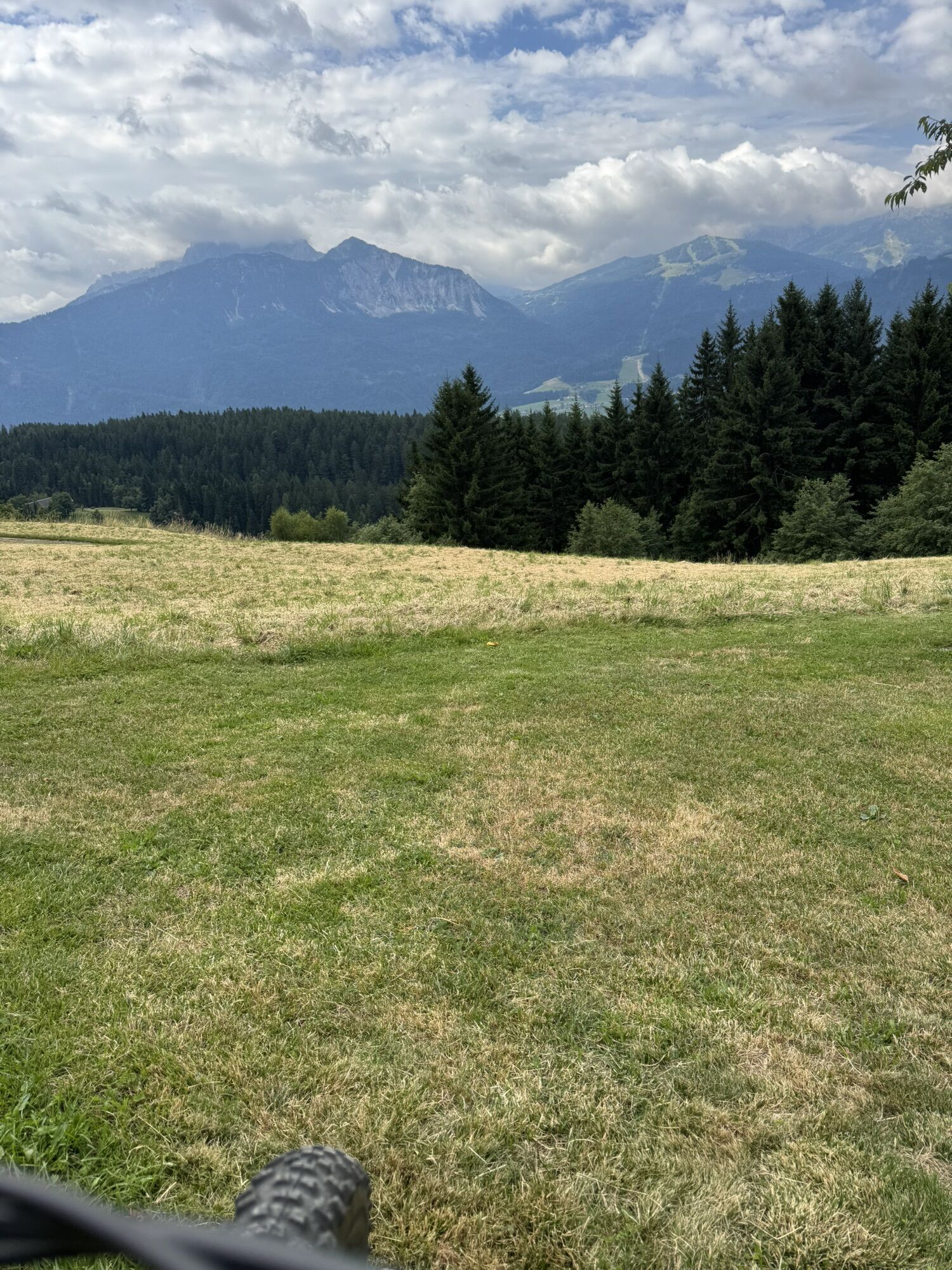
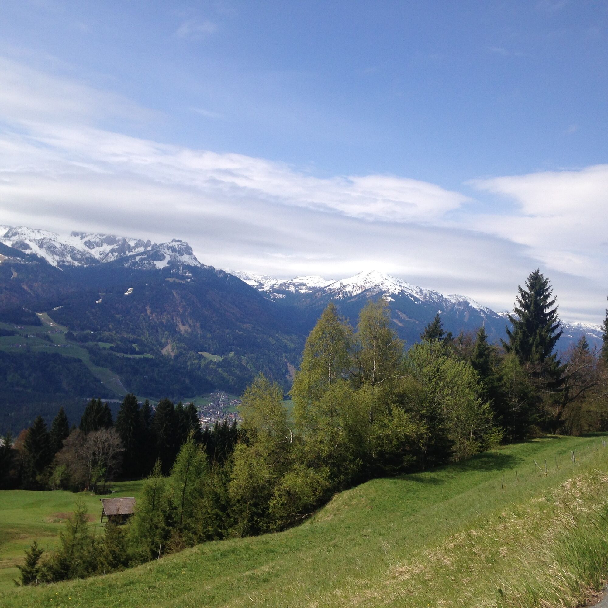
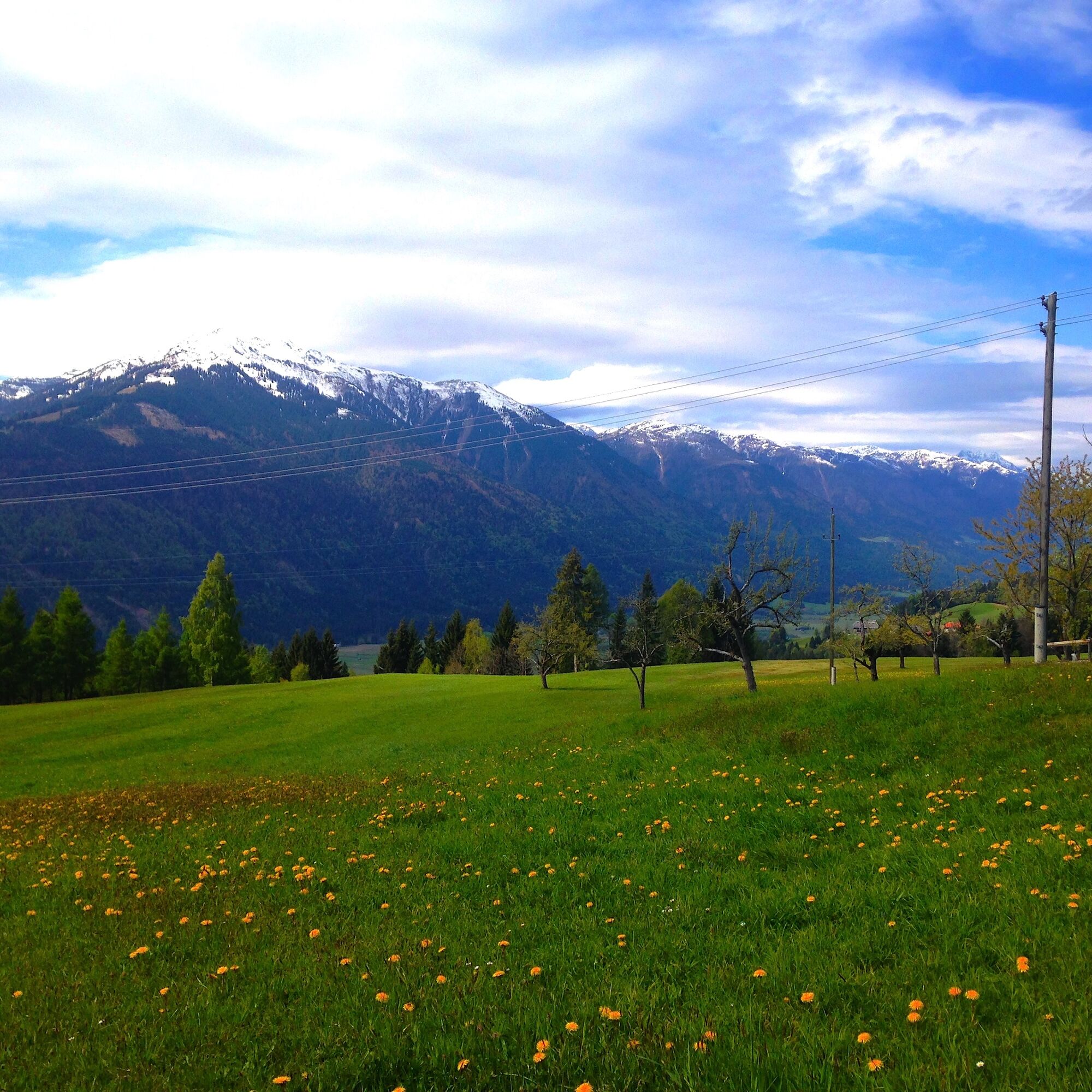
HIGHLIGHT: Guggenberg – rest area with a dreamlike view

KM 0.3 turn right towards Nassfeld federal road B90
KM 0.4 turn left and follow B90
KM 1.2 switch to the bike path on the right side of B90
KM 1.7 turn right and follow bike path R3
KM 7.9 turn left over the Gail bridge and follow bike path R3a towards Hermagor
KM 9.5 straight ahead and follow bike path R3b into the center of Hermagor
KM 9.8 roundabout – continue straight on R3b
KM 10.1 turn left – continue on R3b
KM 10.2 turn right – continue on R3b
KM 10.7 turn left and after a few meters turn right on the main road towards Guggenberg
KM 12.5 keep right – continue on the main path
KM 12.7 keep left – continue on the main path
KM 15.8 beautiful view at Guggenberg
KM 17.3 highest point, turn left onto gravel path
KM 18.5 turn right towards Kreuth
KM 18.8 keep left – continue downhill
KM 19.7 continue straight downhill
KM 20.8 turn right towards Jenig
KM 22.9 straight ahead towards Jenig
KM 25.1 straight ahead, cross the federal road
KM 25.8 after the bridge turn left onto bike path R3
KM 26.4 keep right KM 26.8 turn left and follow the country road
KM 28.5 turn right towards Millennium Express valley station
Helmet obligation!!!!!!!
Proper clothing: Adjust your clothing not only to the current weather conditions. Also pack warm clothing, a spare jersey, and rain protection, especially in summer but particularly in pre- and post-season.
Emergency equipment: first aid kit, repair kit (spare tube, pump, tools), map, mobile phone, and possibly GPS
WARNING: Reception is not guaranteed everywhere in the mountains!
Bring enough to drink and plan a stop in good time
On closed lines - absolute riding ban!
Always ride at half sight.
Always adjust your speed so that you can stop in time before obstacles or avoid oncoming traffic
Watch out for pedestrians and hikers and ride past slowly
Riding the route with motorcycles is strictly prohibited and will be reported.
Use of the bike paths is at your own risk.
In the forest, camping, resting at night, lighting fires, disturbing wildlife, or entering forest cultures under 3 m tree height is legally prohibited.
Constantly check your sports equipment and wear a helmet
Only use the released, marked routes.
Do not leave the marked path under any circumstances
Please be considerate of the environment. Avoid noise and pollution. Limit riding in twilight to protect wildlife.
Observe traffic regulations and provide first aid if necessary.
Always close pasture gates and doors. Beware of forestry work!
Proper self-assessment
Start in good time and plan reserves
Leave higher altitudes in bad weather
Ensure you can safely pass impassable sections. If you don't feel sure, turn around early enough
For safe coexistence, please follow the fair play rules (link) emergency call: (+43 4282)112
From western Austria and Germany
A10 Tauern motorway via Tauern and Katschberg tunnels (toll) to Feistritz/Drau exit, continue towards Hermagor over the Windische Höhe, through Hermagor ... see above.
Or: alternatively continue on A10 to Villach junction, continue on A2 southern motorway towards Italy, take Hermagor/Gailtal exit to Hermagor ... see above.
Or: motorway via Rosenheim, Kufstein (A12 Inntal motorway exit Kufstein south), Felbertauern tunnel (toll) to Lienz, Gailberg saddle, Kötschach-Mauthen, towards Hermagor to the Nassfeld junction ... see above (Distance Munich - Nassfeld: 298 km)
From eastern Austria
A2 southern motorway to Hermagor / Gailtal exit, continue to Hermagor and towards Kötschach-Mauthen, Nassfeld junction, Nassfeld federal road to Nassfeld (Distance Vienna - Nassfeld: 420 km)
From Italy
Motorway to Udine and further towards Austria, motorway exit Pontebba, through the town of Pontebba the Italian mountain pass road to Nassfeld (Passo di Pramollo) (Distance Udine - Nassfeld: 85 km)
Or:
Autostrada Udine - Tarvisio - Hermagor/Gailtal exit. Continue to Hermagor and towards Kötschach/Mauthenâ
Die nachhaltigste Anreisevariante ist mit der Bahn bis nach Hermagor (von Villach kommend) und von dort weiter mit dem Bus Richtung Kötschach-Mauthen (Ausstiegshaltestelle - Tröpolach) möglich.
Von Kötschach-Mauthen aus erreichst du den Ausgangspunkt der Biketour mit dem Bus Richtung Hermagor (Ausstiegshaltestelle - Tröpolach).
Details unter - Mobilitätsinfos Nassfeld sowie Routenplaner Kärntner Linien
Public parking is available directly at the starting point.
Millennium Express valley station
Attractions along the route:
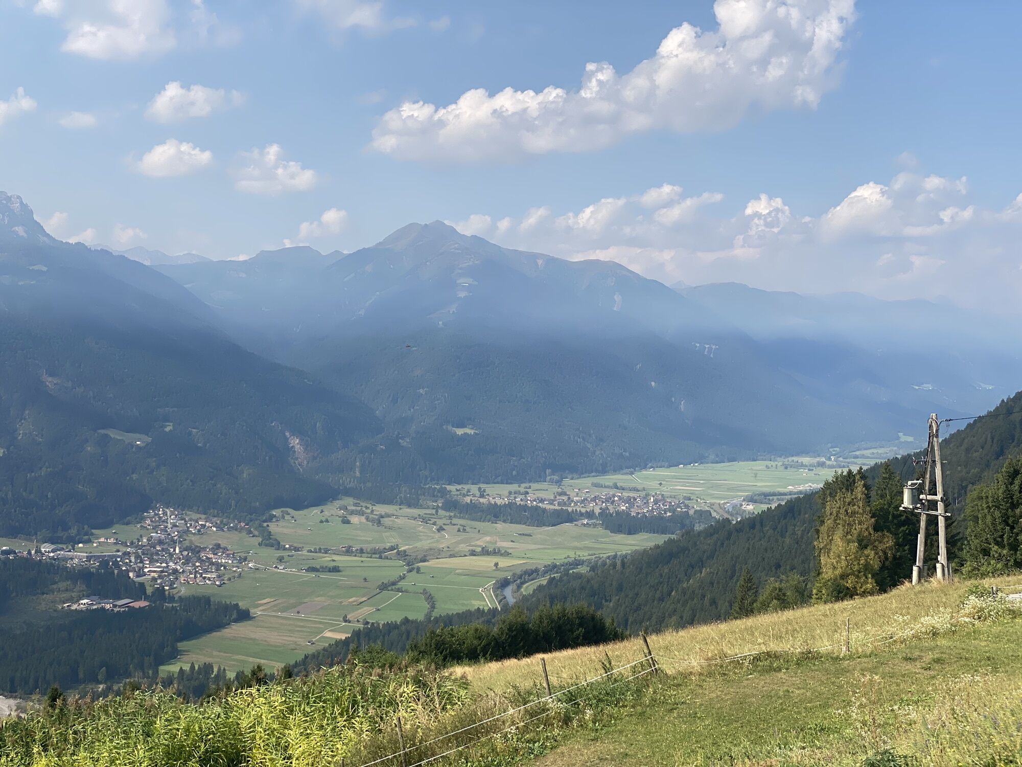
• Beautiful view – wonderful mountain panorama
Definitely make a short stop at Guggenberg and enjoy the wonderful view!
Priljubljeni izleti v okolici
- 4.9
W10 - Large lake round - Weissensee
težkoMountainbike 31.5 km - 5.0
RW_N9 Weißenbachklamm
srednjaPohodništvo 7.49 km - 4.9
Weissensee Ost- nach Westufer
svetlobaPohodništvo 10.2 km - 4.6
W5 - Naggler Alm Round Weissensee
srednjaMountainbike 15.8 km - 5.0
Bodenalm - Ostufer - mit dem Schiff zurück
Mountainbike 19.1 km - 4.2
RW_N16 Slow Trail Pressegger See
svetlobaPohodništvo 5.73 km - 4.9
Weißenbachklamm
težkoPohodništvo 5.80 km - 4.1
Malurch Nassfeld
srednjaPohodništvo 9.60 km - 4.4
WY_W2 hike to the Alm behind the Brunn
srednjaZimsko pohodništvo 3.04 km - 5.0
ST_N7 Gartnerkofel (2,195 m)
Smučarska tura 3.94 km
Pohodništvo in sledenje


Ne zamudite ponudb in navdiha za naslednje počitnice
Vaš e-poštni naslov je bil dodan na poštni seznam.