







KM3 Vorhegg - Ödenhütte

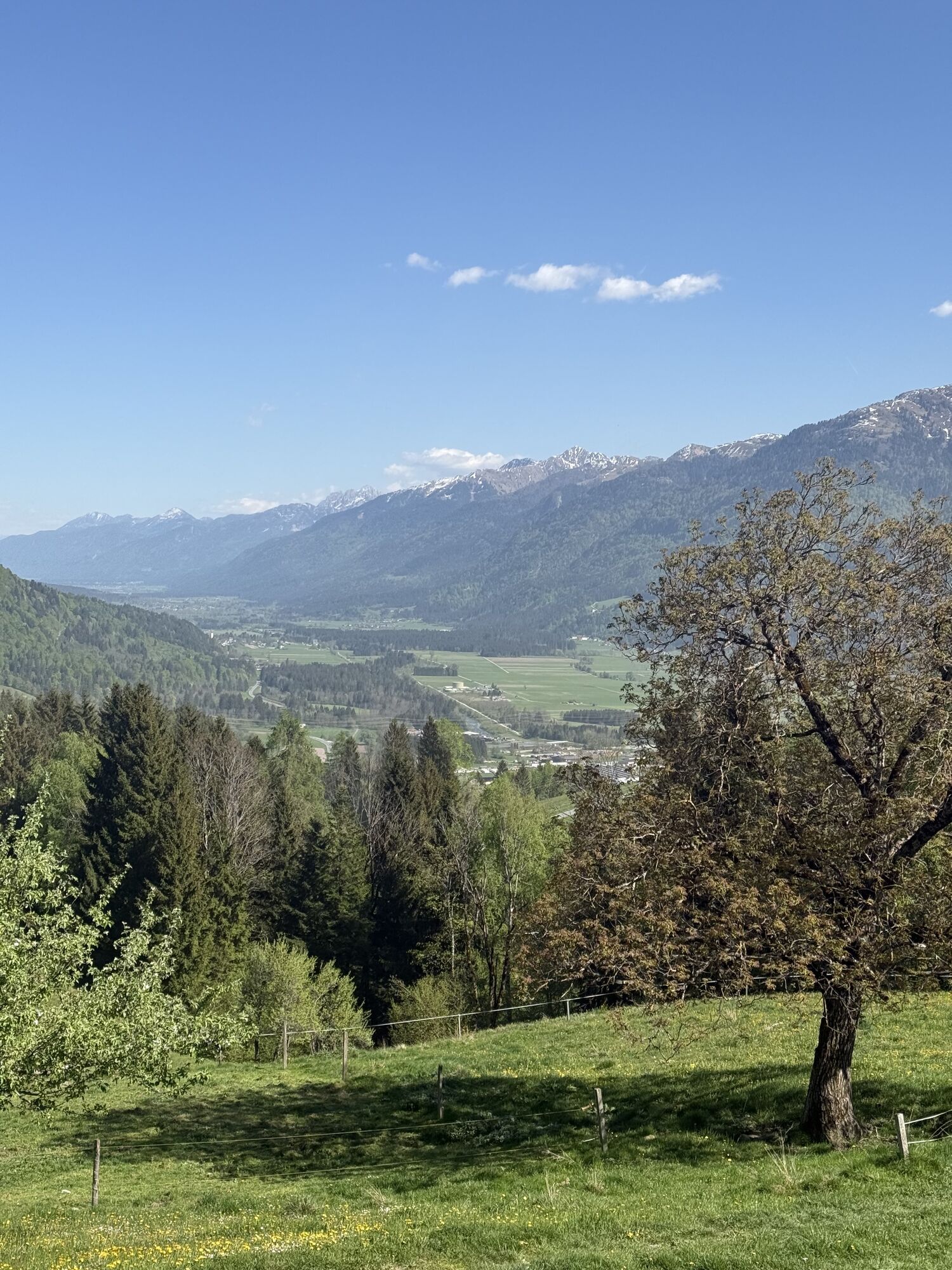
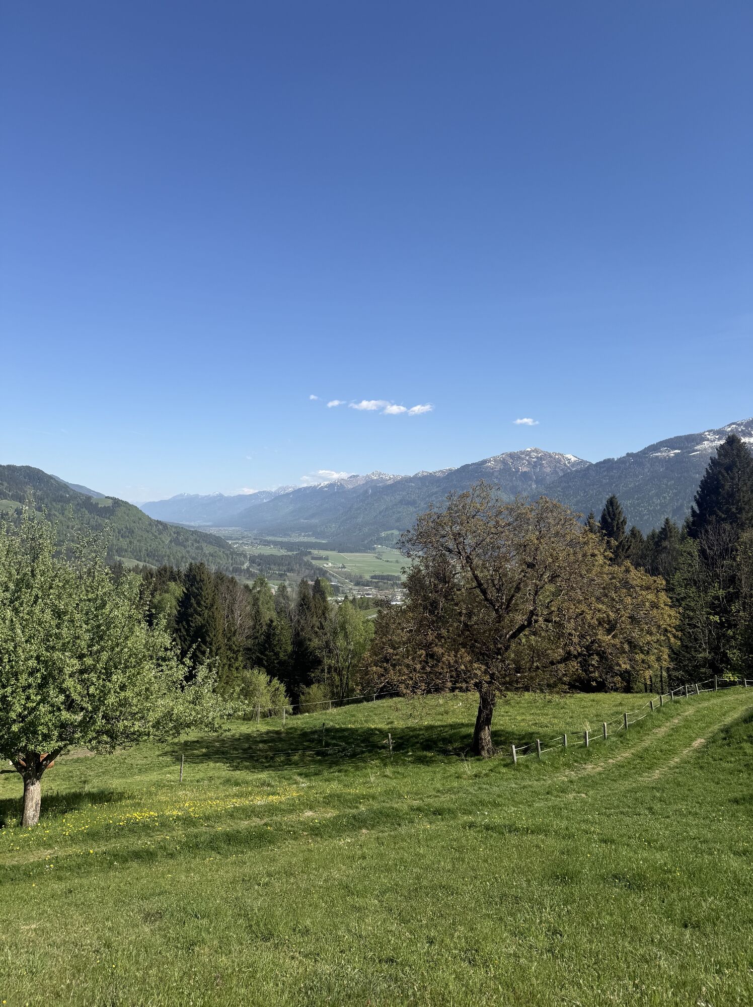
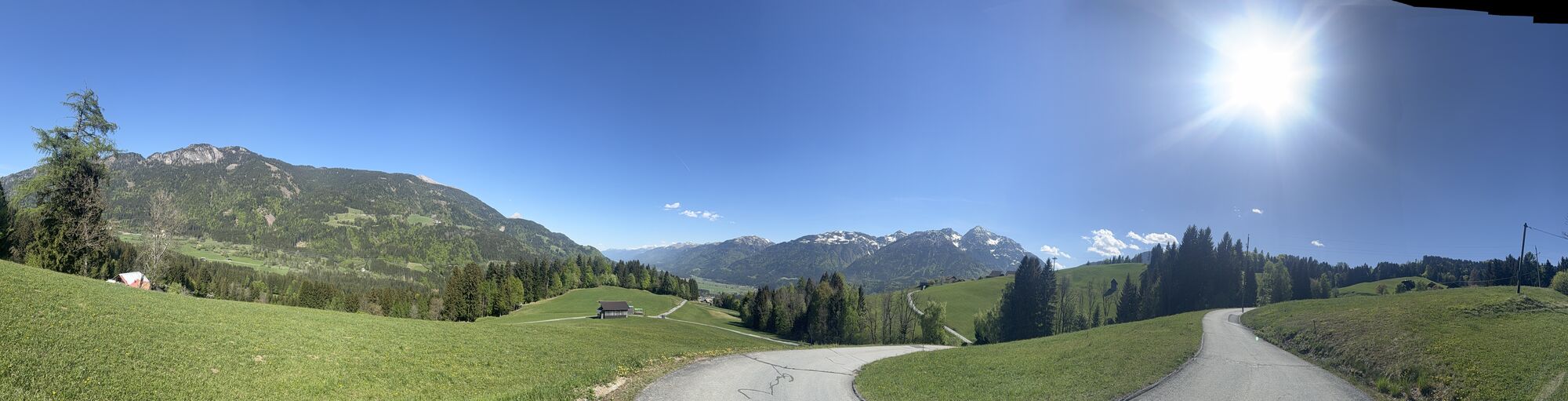
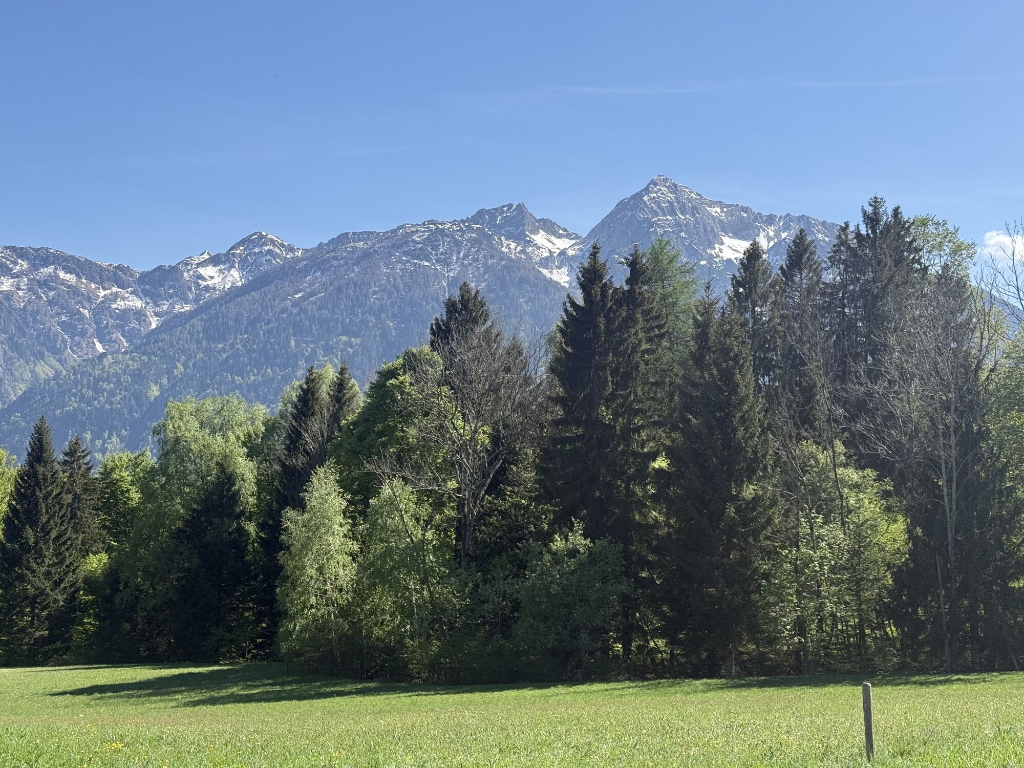
Vom TVB in Kötschach Mauthen zunächst etwa 100 Meter der Bundesstraße Richtung Süden folgen und dann rechts (B111) Richtung Lesachtal abzweigen. Der Bundesstraße noch 400 Meter weit folgen und dann rechts...
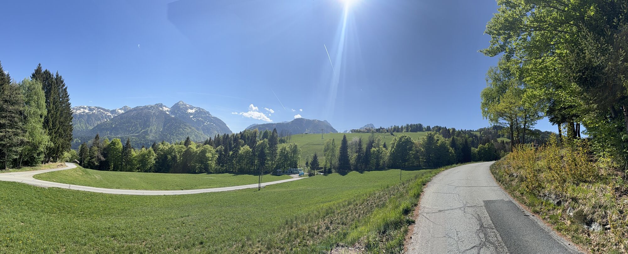
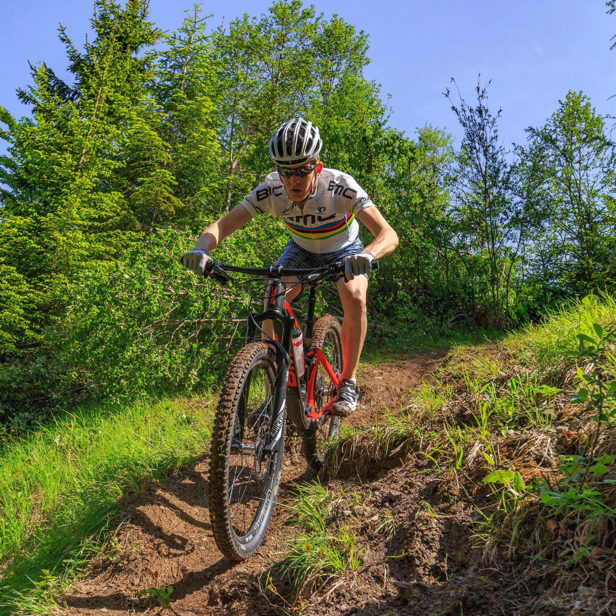
Vom TVB in Kötschach Mauthen zunächst etwa 100 Meter der Bundesstraße Richtung Süden folgen und dann rechts (B111) Richtung Lesachtal abzweigen. Der Bundesstraße noch 400 Meter weit folgen und dann rechts abbiegen. Nach ca. 100 Meter bei der Bachbrücke links abzweigen und der schmalen Asphaltstraße Richtung Vorhegg folgen. Auf 1.080 m Seehöhe scharf links in die Forststraße einbiegen. Auf dieser noch, vorbei an der Bergstation zweier Lifte, bis auf eine Höhe von 1.210 Metern bergauffahren. Nun nach rechts abzweigen und kurz danach links in einen Trail einbiegen. Der Trail führt direkt an die Ödenhütte. Auf der Asphaltstraße geht es danach bergab Richtung Kötschach-Mauthen. Im Tal angekommen, vorbei an der Aquarena, zurück zum Ausgangspunkt. Die Tour kann auch mit dem E-MTB gefahren werden.


Ascent:
The route starts at the town hall Kötschach-Mauthen – from here you follow federal highway B110 south and then turn right towards the Lesachtal (B111).
You follow the federal highway (B111) for about 400 m, then turn right. After about 100 m, at the creek bridge, turn left and follow the narrow asphalt road towards Vorhegg.
At 1,080 m above sea level, turn sharp left (at kilometer 4.5) onto the forest road/wide gravel road. On this, you continue past the mountain stations of two lifts up to an elevation of 1,210 m. Now you turn right (at kilometer 6.8) and shortly thereafter turn left onto a narrow trail. The trail leads directly past the Ödenhütte (no longer operated - at kilometer 7.9).
Return/Descent:
The asphalt road then leads downhill towards Kötschach-Mauthen. Once in the valley, past the Aquarena, back to the starting point.
Da
Helmet duty!!!!!!
Right clothing: Do not only adapt your clothing to the current weather conditions. Also pack warm clothing, a spare jersey and rain protection in summer, especially in the early and late seasons.
Emergency equipment: bandages, repair kit (spare hose, pump, tools), map, mobile phone and possibly GPS
ATTENTION: In the mountains reception is not guaranteed everywhere!
Take enough to drink with you and plan a stopover in good time
FAIR PLAY & RESPECT:
Mindfulness for nature – landowners – your health... and safety in the mountains have the highest priority on your route and the related route planning!
Therefore, before every hike, find out about the rules of conduct - Safety in the Mountains - and the current weather conditions.
Waste disposal:
Waste cannot always be avoided – but it has no place in nature and must be disposed of properly (preferably in the valley or at home).
Emergency numbers:
European emergency number: 112 (access in every available network)
Austrian alpine emergency number: 140
Traveling by car:
From Hermagor via the B111 (Gailtal Road) or from Oberdrauburg via the B110 (Plöckenpass Road) to Kötschach-Mauthen.
The most sustainable way to get there is by train to Oberdrauburg (coming from Lienz or Villach) or to Hermagor (coming from Villach).
From Oberdrauburg or Hermagor, you can then reach the town of Kötschach-Mauthen by bus.
Details at - Mobility Information Nassfeld as well as Route planner Kärntner Linien
Free parking is available at the town hall in Kötschach-Mauthen.
Are you looking for bike tips in the region or a certified guide for a guided bike ride?
You can find this and many more infos at - Route tips and provider information
Refreshment options:
In Kötschach-Mauthen and the surrounding towns, there are numerous year-round open refreshment options - details at Service A-Z.
Open to MTB riders unless otherwise specified during the following periods:
May 1 - August 31, from 9 a.m. to 7 p.m. and September 1 - October 31, from 9 a.m. to 5 p.m.
The route can also be ridden with an e-MTB.

Spletne kamere s turneje


Priljubljeni izleti v okolici
- 4.5
Karnischer Höhenweg – Etappe 4: Hochweißsteinhaus – Wolayersee Hütte
težkoPohodništvo v daljavo 15.9 km - 4.8
Pirknerklamm (C)
srednjaVia ferrata 2 km - 4.5
Obergail - Obergailer Alm - Obergailer Lake - Enderberg hut - Source for Health & Peace - Madonna circular hiking route - Obergail
srednjaPohodništvo 11.4 km - 4.4
Mountain bike route from the Hubertus Chapel to the Wolayersee
težkoMountainbike 9.06 km - 4.8
Karnischer Hauptkamm - Hohe Warte 2.780m - Hike and Bike
težkoGorski pohodništvo 19.5 km - 4.6
Bread & Morende Trail
srednjaPohodništvo 11.3 km - 3.9
Summit hike to the Hochstadel
srednjaPohodništvo 7.83 km - 3.7
Cellon-Stollen und Senza Confini auf den Cellon und Steinberger Weg zum Abstieg
srednjaVia ferrata 7.09 km - 5.0
Plöckenhaus - Polinik - Plöckenhaus
težkoPohodništvo 10.9 km - 5.0
Valentin-Wolayersee-Runde
srednjaPohodništvo 12.4 km

Pohodništvo in sledenje


Ne zamudite ponudb in navdiha za naslednje počitnice
Vaš e-poštni naslov je bil dodan na poštni seznam.





