







Michaelerberg route
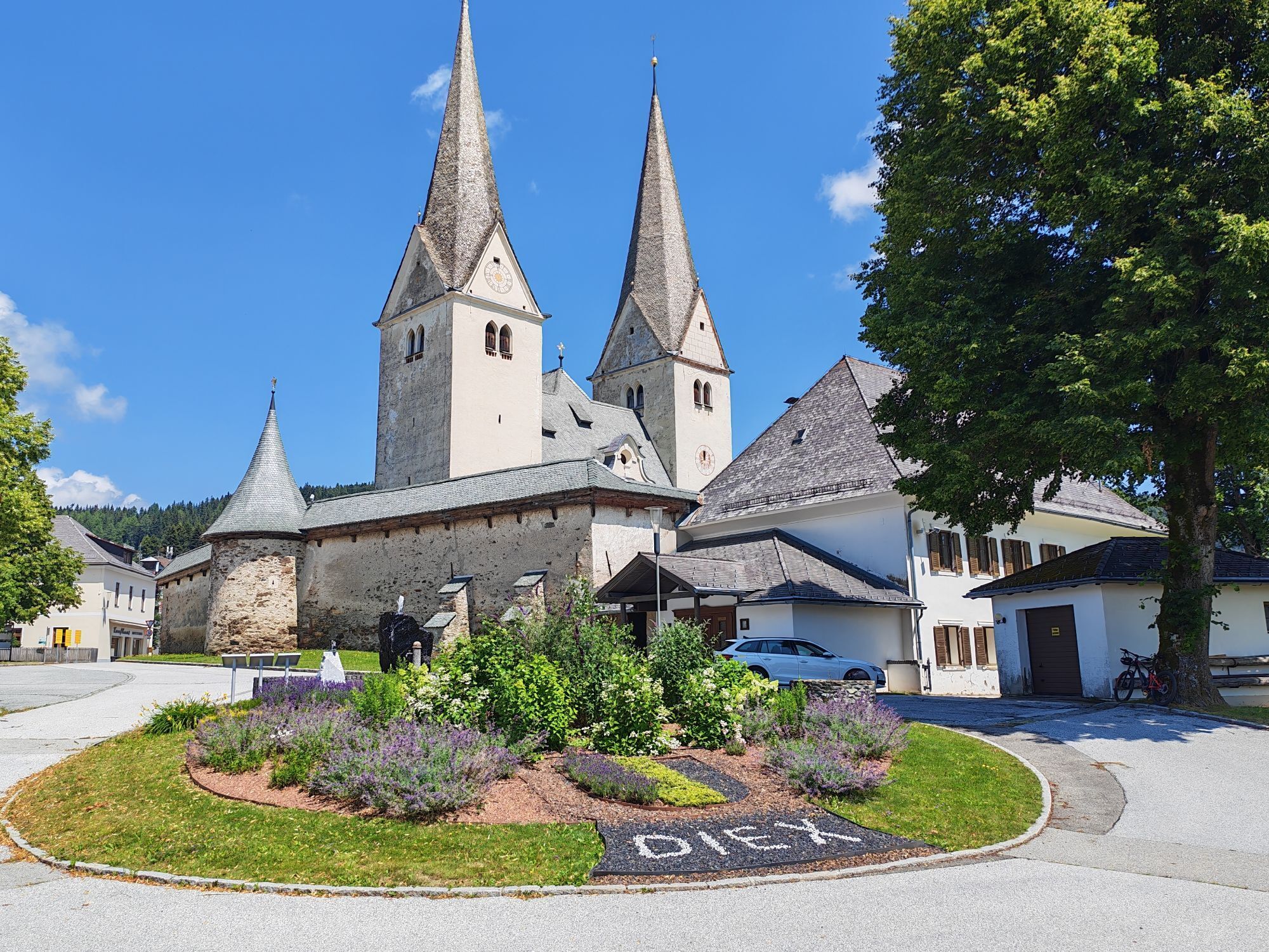
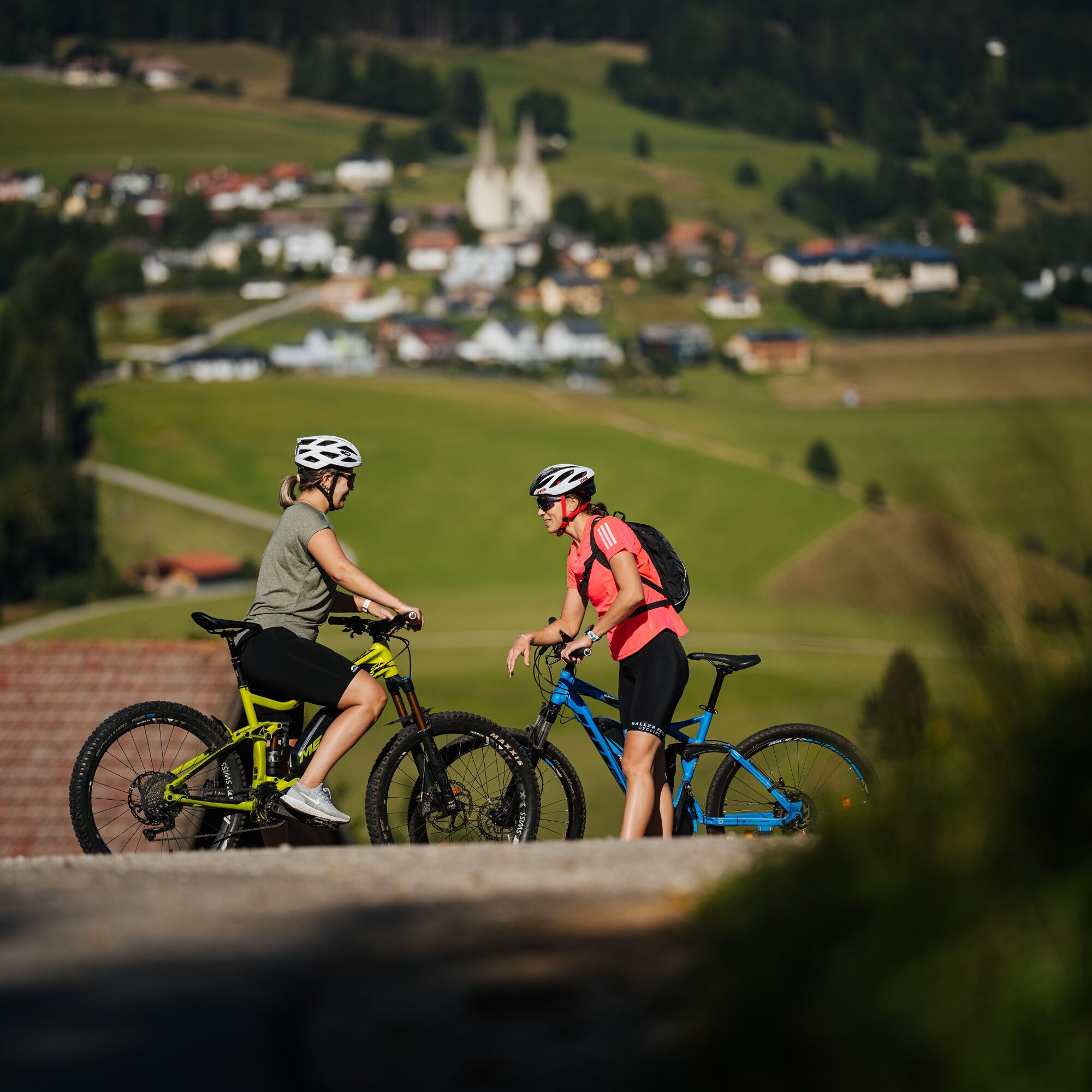
A real highlight for marathon riders. Extremely scenic, numerous opportunities to stop for food and drink.


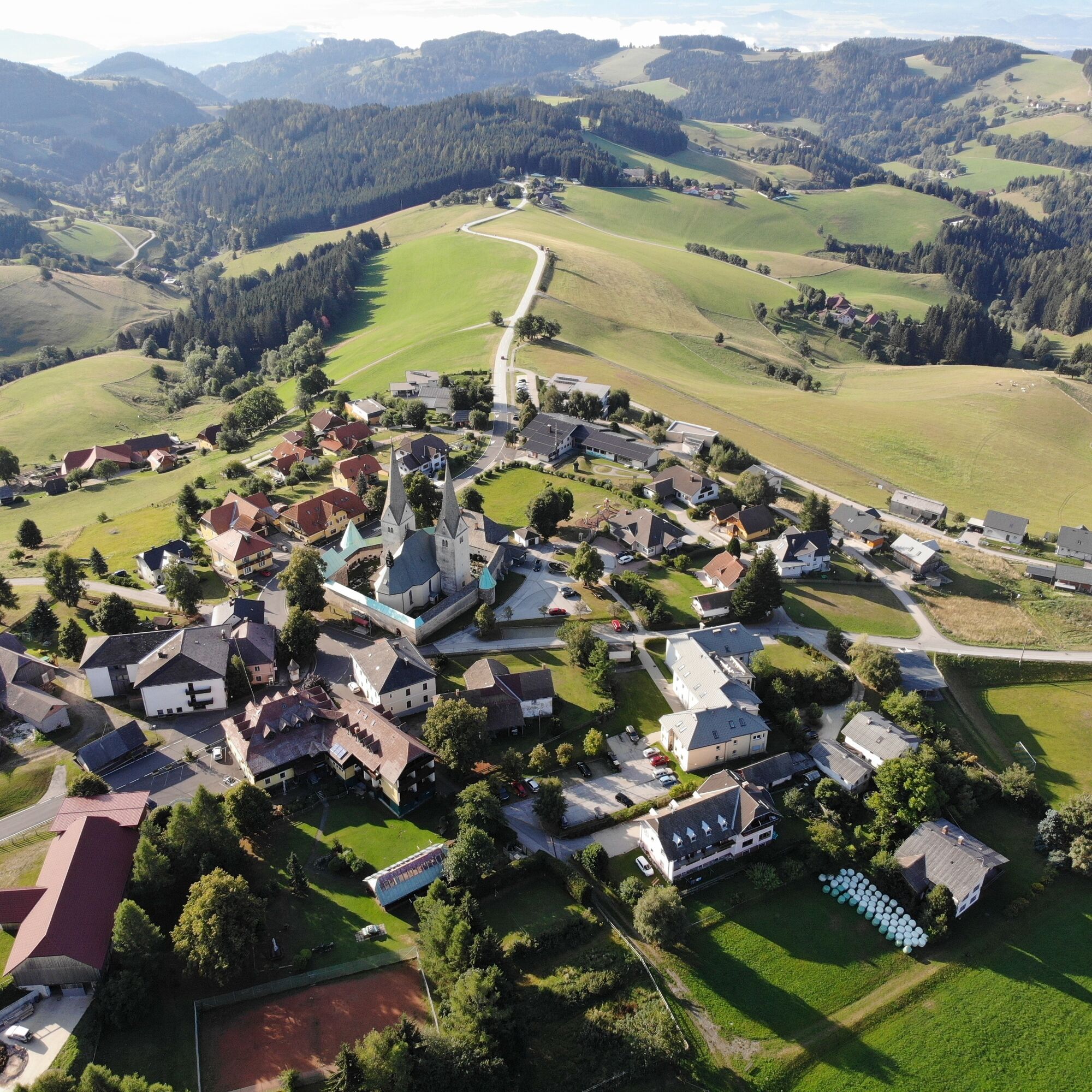
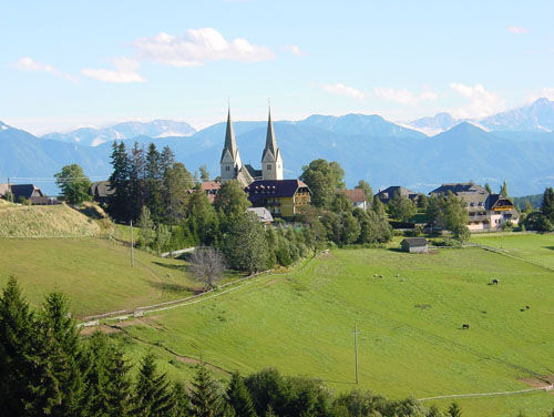
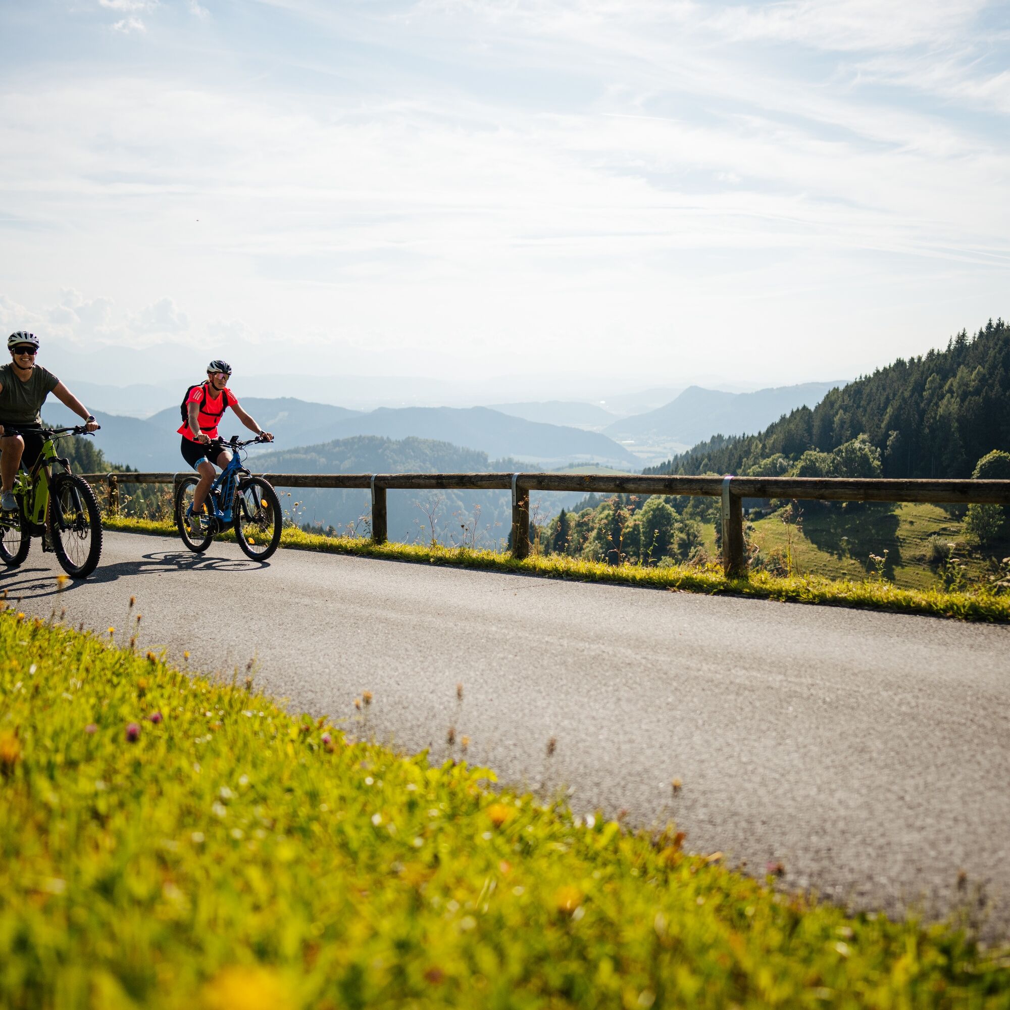
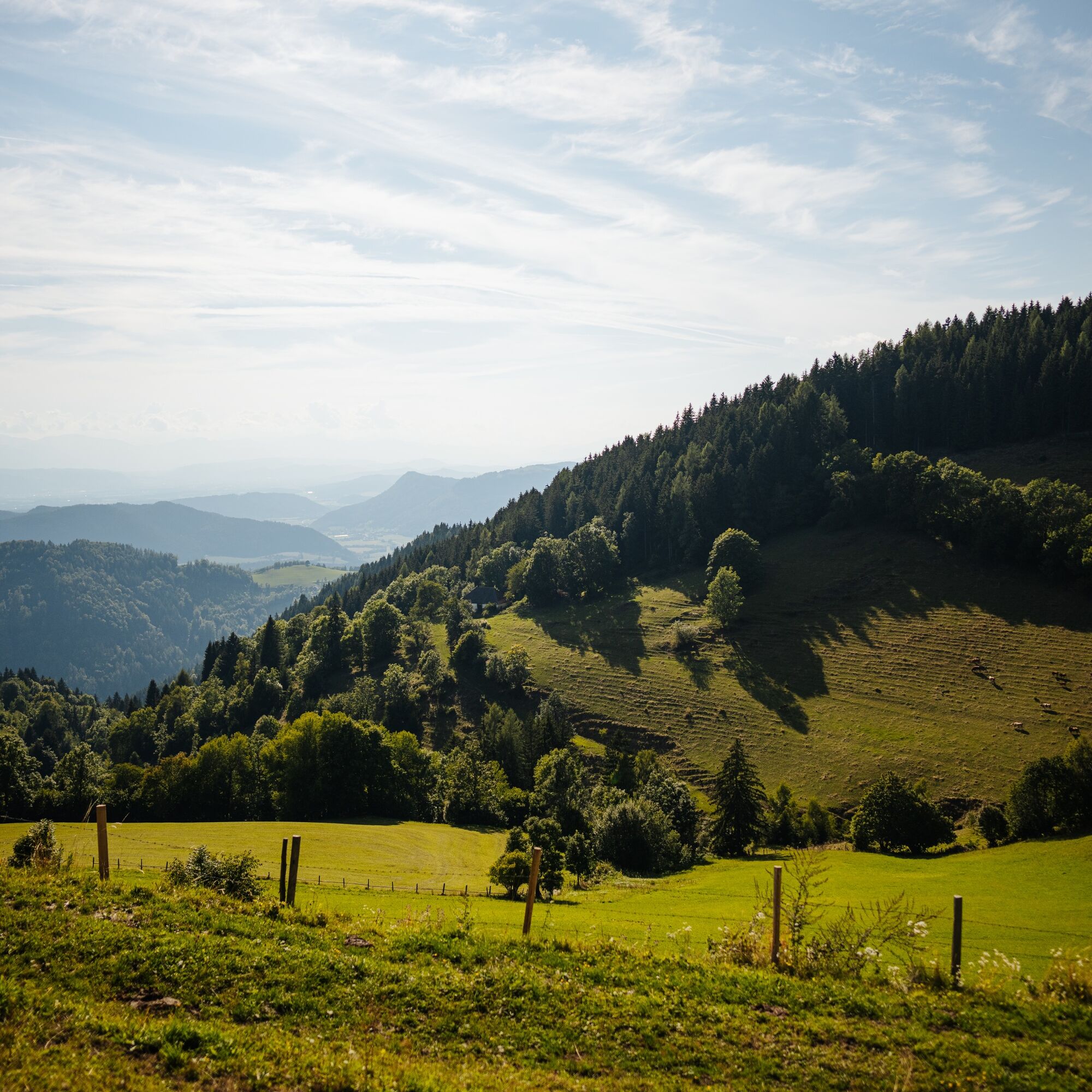
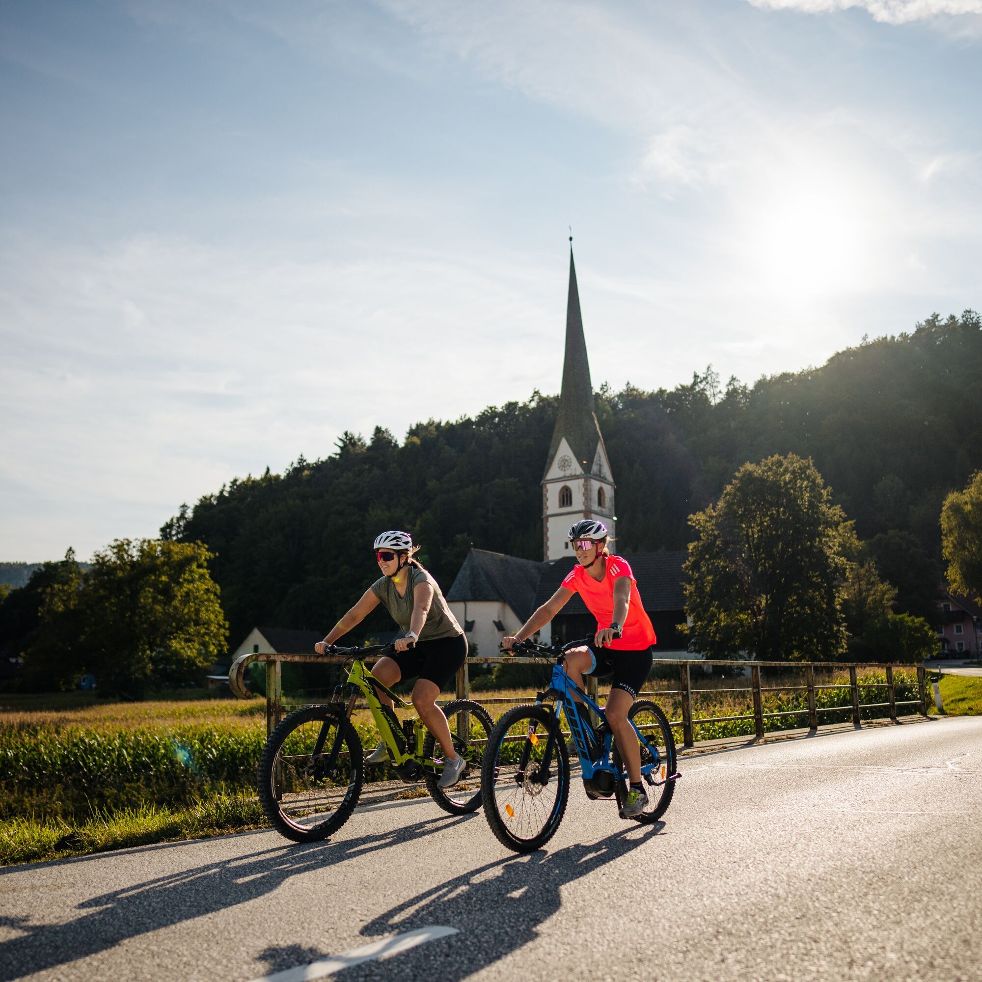

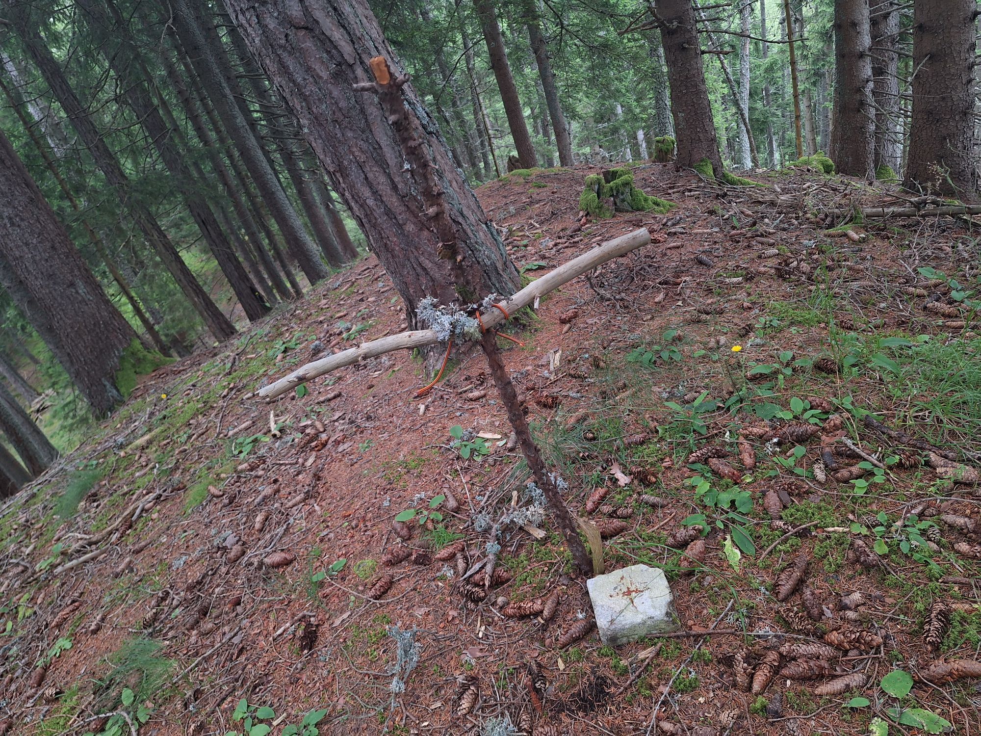
From Diex heading west to Bösenort, after the farmstead vulgo Russ before Martel turn left into the forest. The path leads us past Zauberkogel to the "Drei Fichten" on the Wandelitzen, where there is a magnificent view over the Jauntal valley all the way to the Karawanks and Steiner Alps. The path leads down from Wandelitzen to St. Stefan.
Via Steinkogel, Oschenitzen and Lindenhof we reach Völkermarkt. Near the swimming pool we ride on a gravel road to St. Ruprecht, then right past the cemetery until we reach the intersection with the Seeberg federal highway. We turn right and after about 100 m turn left towards St. Margarethen. We follow the road to the village. At the crossroads in the center of town, we continue straight and reach St. Georgen am Weinberg after a slight ascent. At the crossroads near the football field we turn right over Führholz. After Führholz we reach the Seeberg federal highway, where we turn left towards St. Franzisci after about 300 m. Between St. Franzisci and Gattersdorf we turn left and follow the road uphill into the Michaelergraben back to Diex.
Normal MTB equipment.
Helmet
Water bottle
Helmet
Don't forget rain and sun protection
Via the A2 - Völkermarkt East exit - Haimburg to Diex.
At the community parking lot in Diex.
Rest stops: numerous good inns in Diex and Völkermarkt.
Tip: GH Jesch in Wandelitzen.
 Pridobite vpogled
Vedno v živo na mestu z več kot 9.500 spletnimi kamerami. bergfex Kot uporabnik Pro si lahko zdaj ogledate ustrezne spletne kamere za številne izlete v aplikaciji izleti iz. Tako si lahko neposredno ogledate trenutne razmere.
Pridobite vpogled
Vedno v živo na mestu z več kot 9.500 spletnimi kamerami. bergfex Kot uporabnik Pro si lahko zdaj ogledate ustrezne spletne kamere za številne izlete v aplikaciji izleti iz. Tako si lahko neposredno ogledate trenutne razmere.
Priljubljeni izleti v okolici
-
4.5
Slow Trail Kitzelberg, Klopeiner See
srednjaPohodništvo 6.82 km -
4.2
Klopeiner See route: "Promenade round"
svetlobaPohodništvo 5.27 km -
4.3
Kolesarska tura po 6 jezerih na južnem Koroškem
srednjaKolesarjenje 53.8 km -
4.5
Diex panorama trail
svetlobaPohodništvo 12.1 km -
4.1
MAGDALENSBERG RUNDWANDERUNG
srednjaPohodništvo 11.7 km -
4.4
Magdalensberg von St.Donat
svetlobaPohodništvo 9.28 km -
4.3
4-lake route
srednjaKolesarjenje 28.7 km -
4.2
3-Lakes route pleasure bike
srednjaKolesarjenje 18.1 km -
3.8
Kitzelberg route - Lake Klopein
srednjaPohodništvo 5 km -
3.2
Slow Trail Turnersee
svetlobaPohodništvo 7.28 km
Pohodništvo in sledenje


Ne zamudite ponudb in navdiha za naslednje počitnice
Vaš e-poštni naslov je bil dodan na poštni seznam.





