







Andy Trail - T74
Stopnja težavnosti: S2
The Andy Trail - T74 is a challenging mountain bike trail that appeals to advanced riders but also offers great fun for very experienced bikers. The trail is characterized by its natural design and offers...
The Andy Trail - T74 is a challenging mountain bike trail that appeals to advanced riders but also offers great fun for very experienced bikers. The trail is characterized by its natural design and offers breathtaking views of the emerald green Lake Ossiach as well as some entertaining jumps along the route.
The trail entrance is accessible via two different routes: on the one hand via MTB Tour 12, which is somewhat easier, or on the other via MTB Tour 14, which is steeper and better suited for e-bikes. Both access routes allow riders to experience the adventure of the Andy Trail and enjoy the beauty of the surroundings.
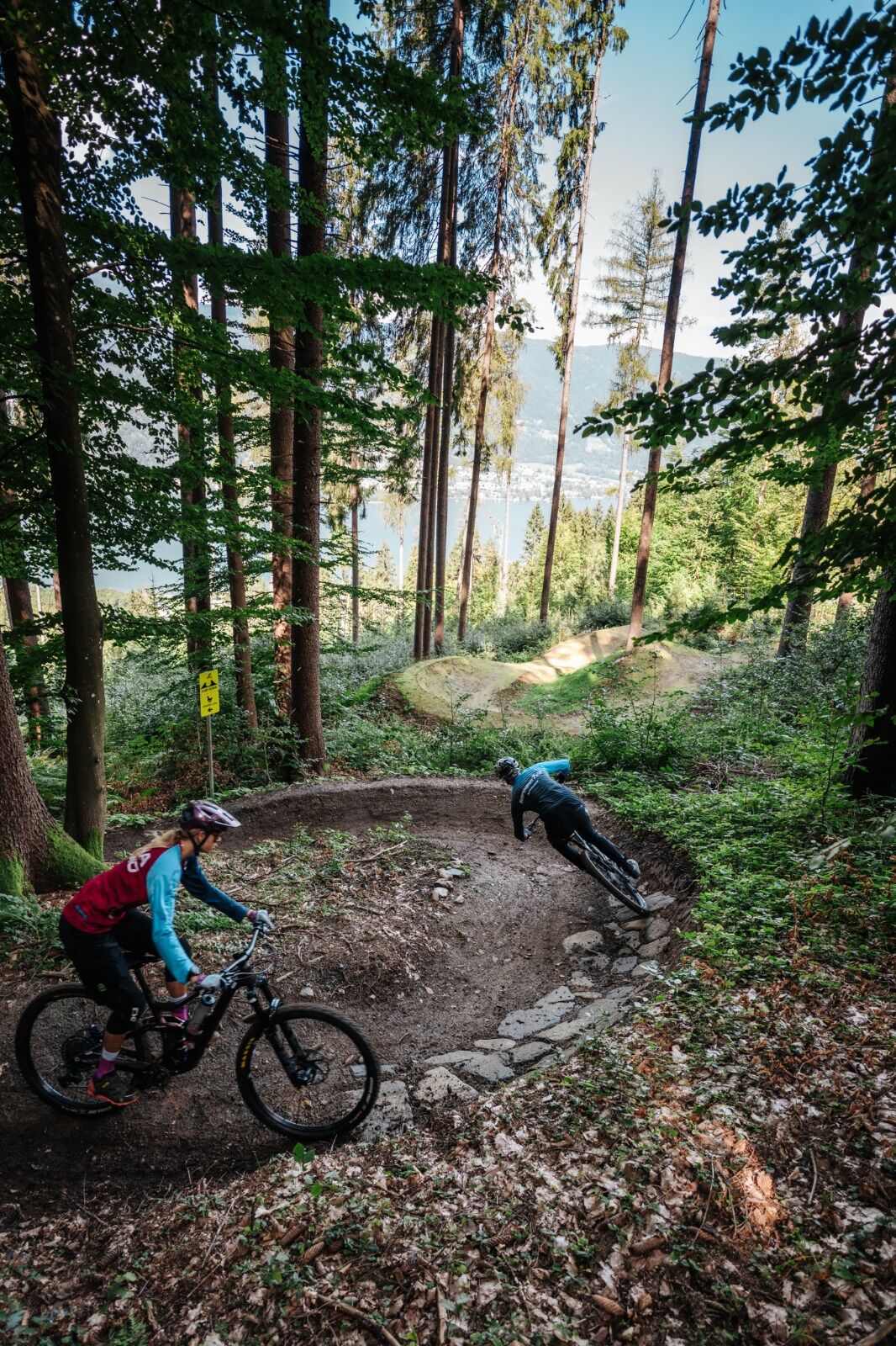
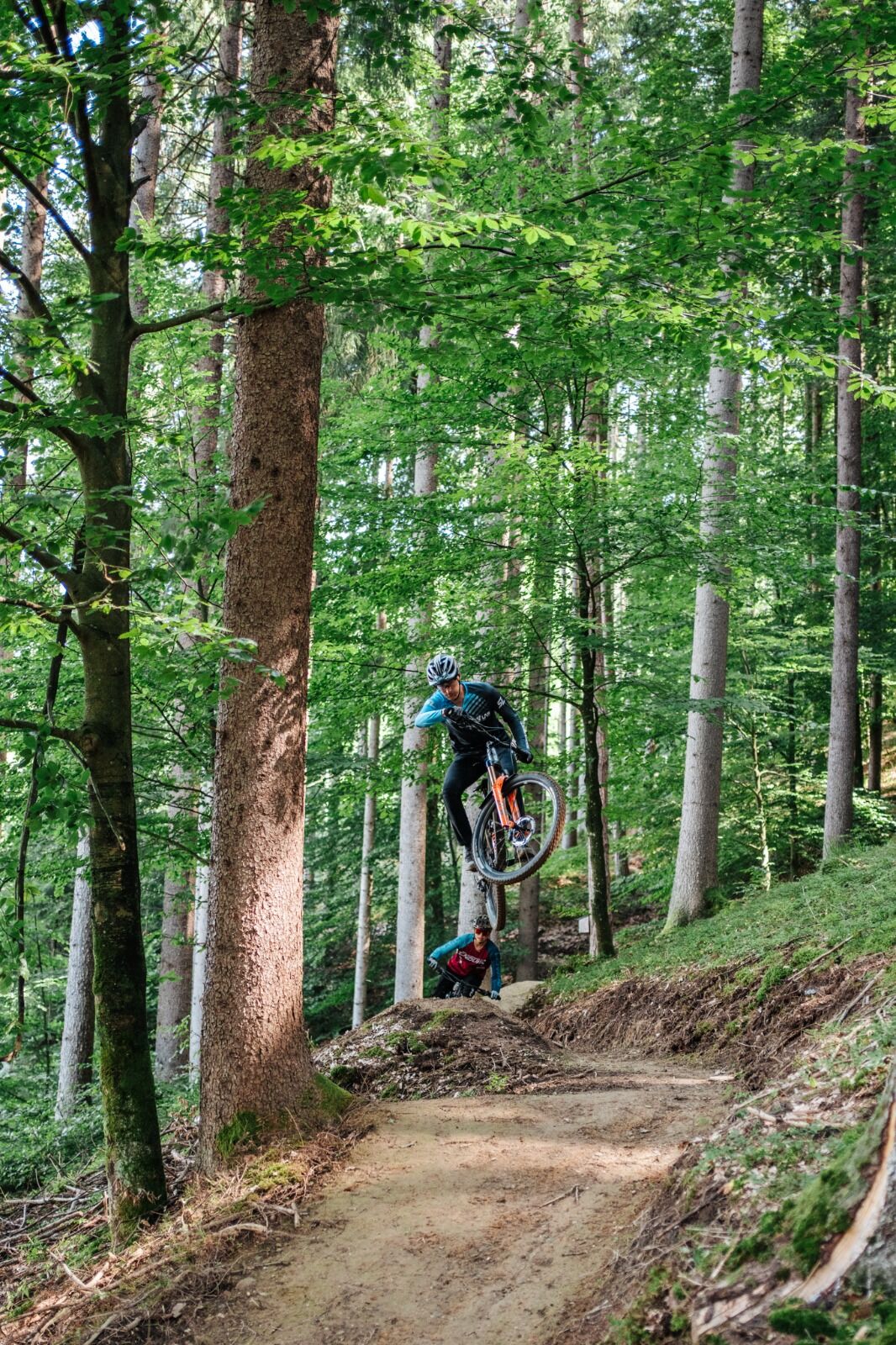
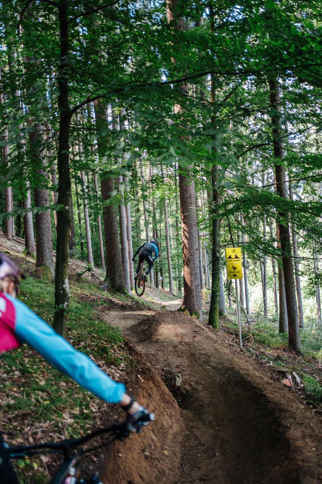

The Andy Trail – T74 starts above the district of Ostriach directly in the forest and ends there at a forest road.
Start of the access
To reach the Andy Trail – T74, it is best to start from one of the parking lots in the center of Ossiach. From the parking lot in front of the town hall, all transfer routes (feeder routes) to the trails are also signposted.
Description of access to the trail entrance:
General part of the access
Starting from the town hall in Ossiach, first drive towards the main road (L49). At the junction into the L49, turn right and follow cycle path R2A for about 1.5 km heading west. At the entrance to Camping Köbl, you can now choose between a very steep climb, which is more suitable for e-bikes, and a normal climb.
Option 1: The somewhat easier climb via MTB Tour 12
From the entrance of Camping Köbl, follow cycle path R2A for one kilometer. Along the cycle path there is then an MTB sign with indications for MTB Tour 12 and 13 to the left. Here turn left across the L49 and follow the beginning forest road upwards. Caution when crossing the main road! Just follow the signs for MTB Tour 12 until you reach a sign reading "Transfer – Andy Trail." Here turn left. Caution! The first section downhill is unfortunately a bit steeper. If you don't trust yourself, push for the first few meters. From here it is only a few meters to the trail entrance.
Option 2: The very steep and difficult climb via MTB Tour 14
From the entrance of Camping Köbl, turn left across the L49 (caution when crossing the main road!) and follow the route of the asphalt road as far as possible upwards until you reach the start sign of the "Challenger Tour – 14." Here turn right onto the forest road and follow the very steep forest road and the signs of Tour 14 until you reach a sign reading "Transfer – Andy Trail." Here turn right and follow the tractor path. Now it is only a few meters to the trail entrance.
Andy Trail - T74
Once you have reached the trail entrance, simply follow the trail course and signage to the end of the trail.
Once there, you can pedal back to the trail entrance via a short steep climb.
Riding on the trail is only allowed with the necessary protective gear (helmet, glasses, gloves, protectors, and suitable shoes) and a mountain bike suitable for this area of use!
It is also recommended to have a working mobile phone for emergency calls and, of course, for taking photos, a first aid kit, sufficient fluids, and a second suitable person to ride the trail together with you.
Similar to ski slopes and hiking trails, approved mountain bike trails and mountain bike single trails are also divided into difficulty levels. Essentially, the slope gradients, hazards, and trail conditions determine the classification into very easy, easy, medium difficulty, and difficult trails.
It is recommended to start with the very easy difficulty level (green) and to carefully inspect each mountain bike trail beforehand.
Riding on the trail is only permitted with the necessary protective gear (helmet, glasses, gloves, protectors, and suitable shoes) and a mountain bike suitable for this area of use!
Definition of trail difficulty:
The marking color red stands for medium difficulty!
Who is this trail suitable for and what riding technique is required?
For advanced trail riders! Special mountain bike skills required: very good balance, weight shift to overcome obstacles, step riding, safe cornering and braking technique, switchback technique, jumping technique, and sufficient trail experience!
Danger level:
Falls from greater height into hazardous terrain possible, risk of falling present
Trail condition:
Partly loose, rapidly changing ground with roots and stones
Obstacles:
Short consecutive drops and steps
Slope:
Consistently steep. Average under 20%. Maximum 60% slope.
Turns:
Partly very tight and steep turns and turnouts.
Trail width:
Very narrow, at least 30cm.
Jumps:
Not rollable over, but avoidable
From Villach via L49 to Ossiach.
Ossiach is regularly accessible by public transportation
Here is the timetable information.
There are a variety of parking spaces available in Ossiach. These are chargeable in the summer months.
All routes are signposted from the parking lot in the town center next to the Ossiach town hall.
S2
Before you ride to the entrance of the Andy Trail, first try the Sansily Trail. Only when this can be ridden safely does the descent on the Andy Trail really become fun. Please look closely at the trail on the first descent!
Pridobite vpogled
Vedno v živo na mestu z več kot 9.500 spletnimi kamerami. bergfex Kot uporabnik Pro si lahko zdaj ogledate ustrezne spletne kamere za številne izlete v aplikaciji izleti iz. Tako si lahko neposredno ogledate trenutne razmere.
Priljubljeni izleti v okolici
-
4.7
4 Huts route
srednjaPohodništvo 8.96 km -
4.6
Pyramidenkogel path Maria Wörth
srednjaPohodništvo 10.8 km -
4.5
Hoher Gallin route
srednjaPohodništvo 7.09 km -
4.5
Lake circular trail
svetlobaNordic Walking 9.85 km -
4.4
Finsterbach Waterfalls - Circular route
srednjaPohodništvo 3.87 km -
4.6
Pyramidenkogelweg Schiefling
srednjaPohodništvo 8.41 km -
4.1
Slow Trail Bleistätter Moor (Variant A)
svetlobaPohodništvo 7.22 km -
4.9
Gratschenitzen Kreuz
težkoVisokogorska tura 3 km -
4.0
Lake Ossiacher See cycle path – R2 & R2A
srednjaKolesarjenje 28.2 km -
4.3
Gerlitzen - Hüttersteig
težkoPohodništvo 6.80 km
Pohodništvo in sledenje


Ne zamudite ponudb in navdiha za naslednje počitnice
Vaš e-poštni naslov je bil dodan na poštni seznam.





