







Hochwurten (F01)
It goes without saying that such a high alpine bike tour happening at almost 2,800 meters involves many altitude meters for the biker. From the starting point, you ride on a paved road (L20a) up to the...
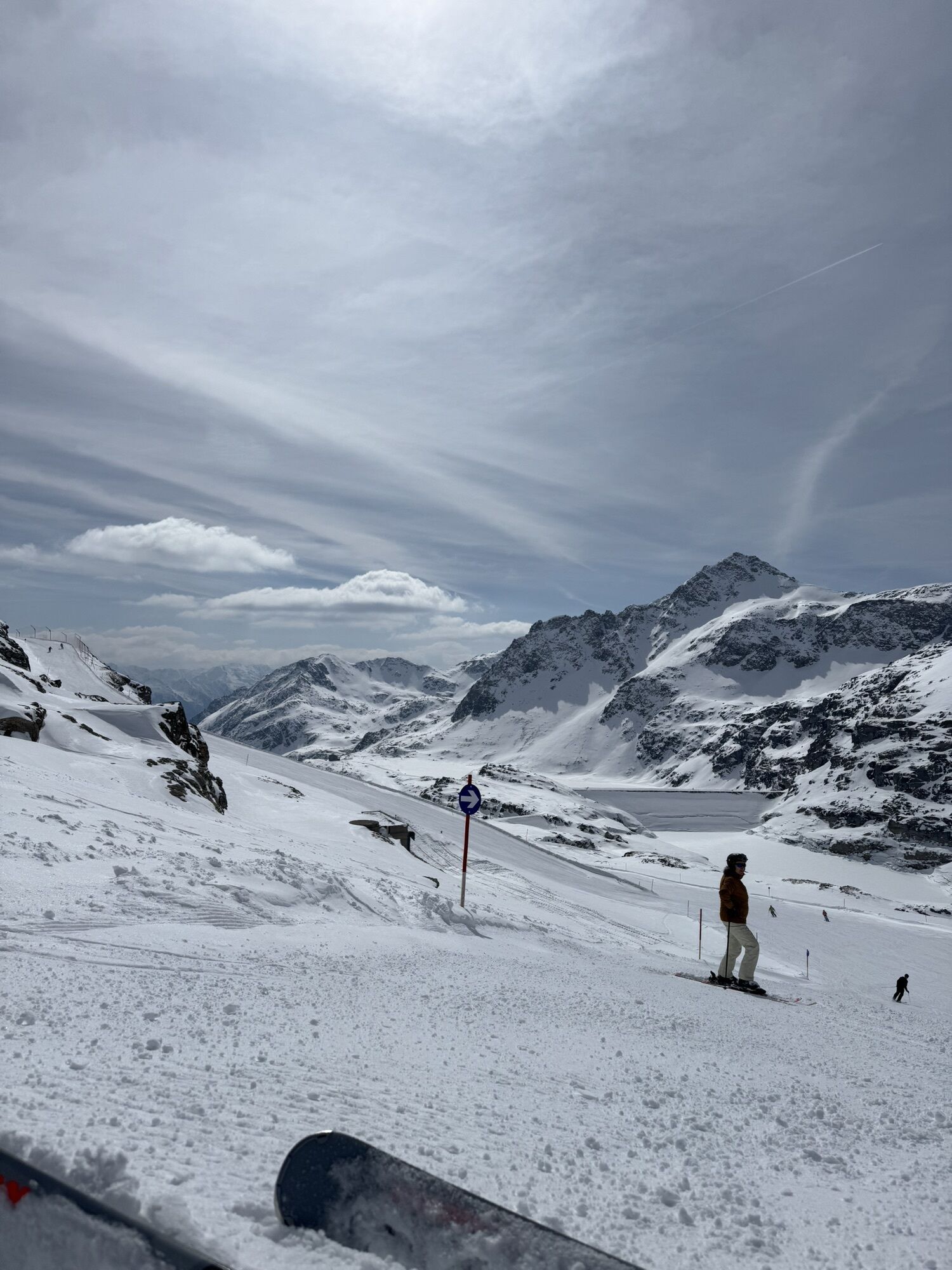
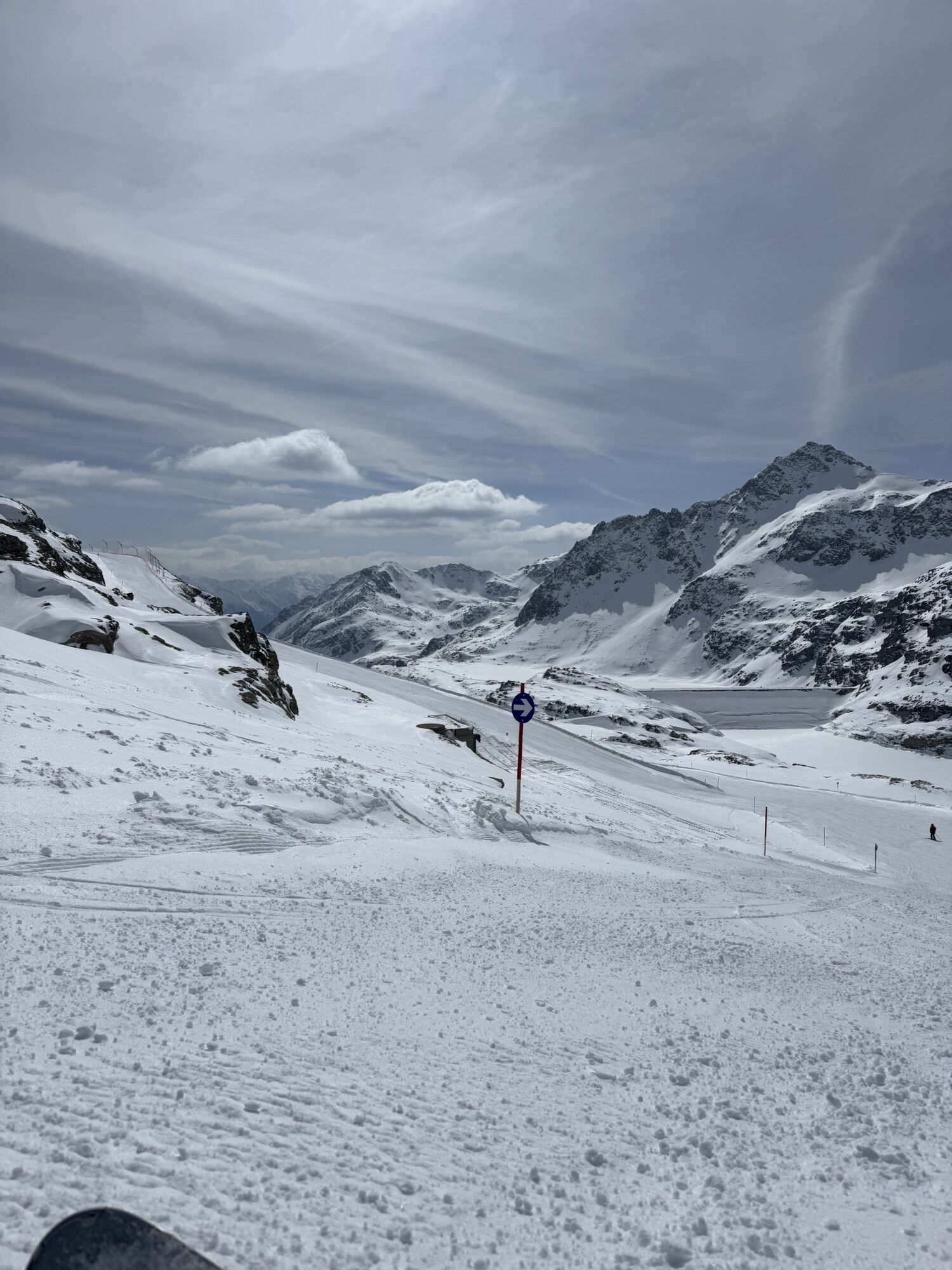
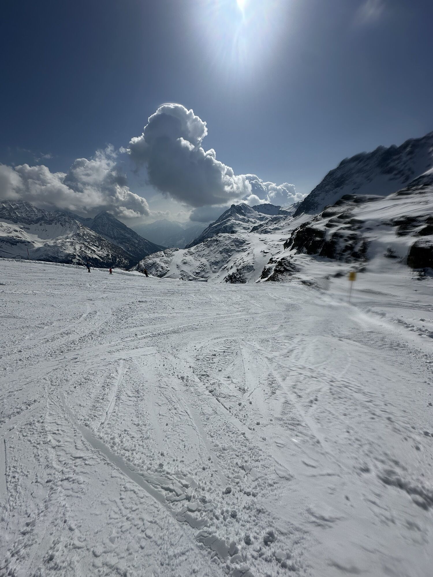
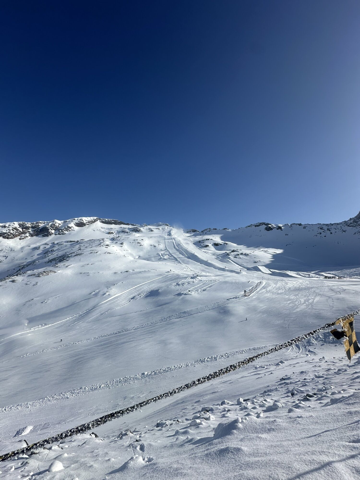
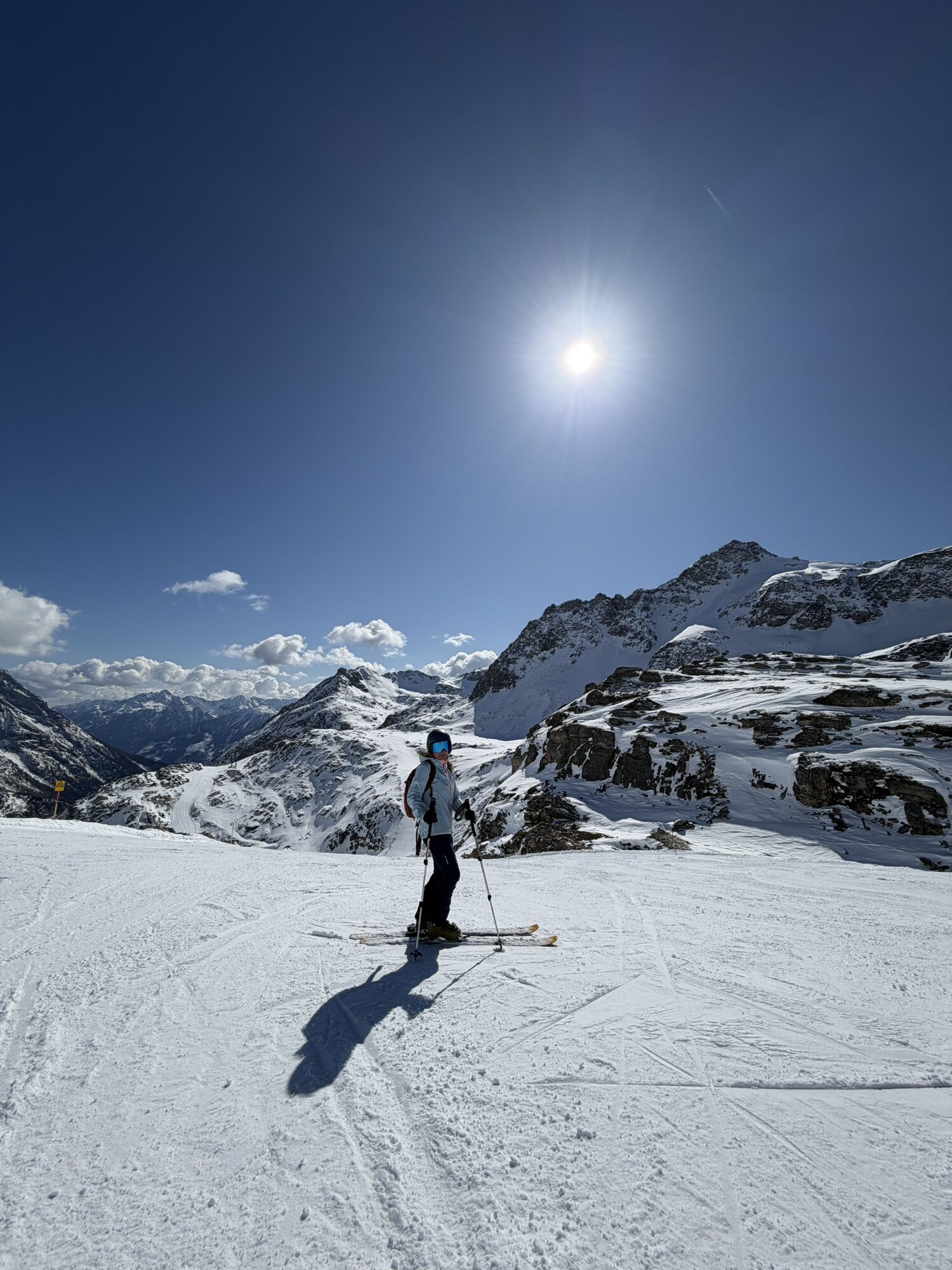
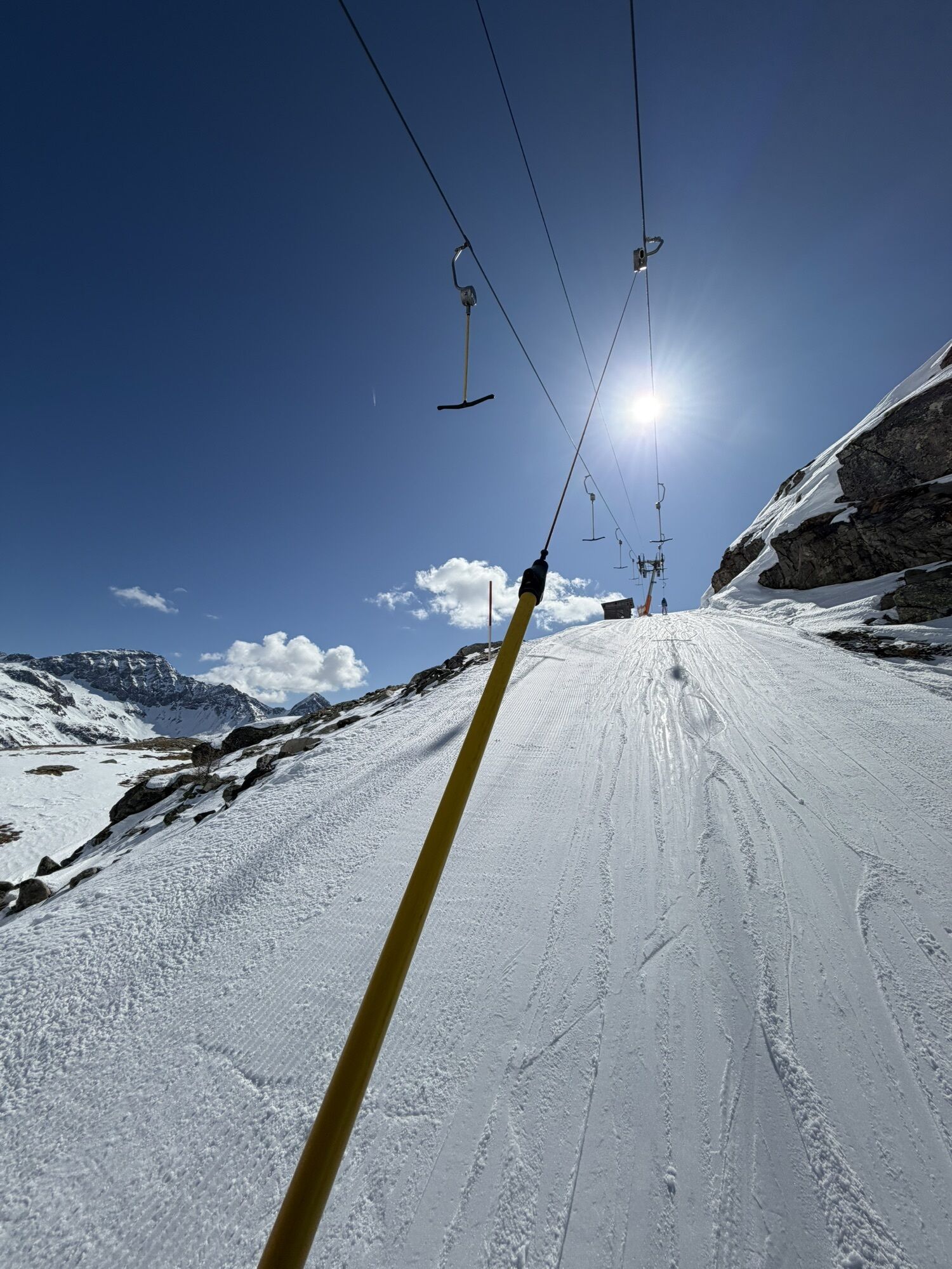
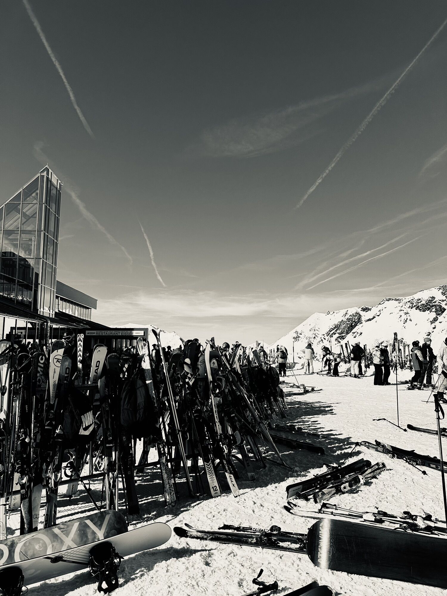
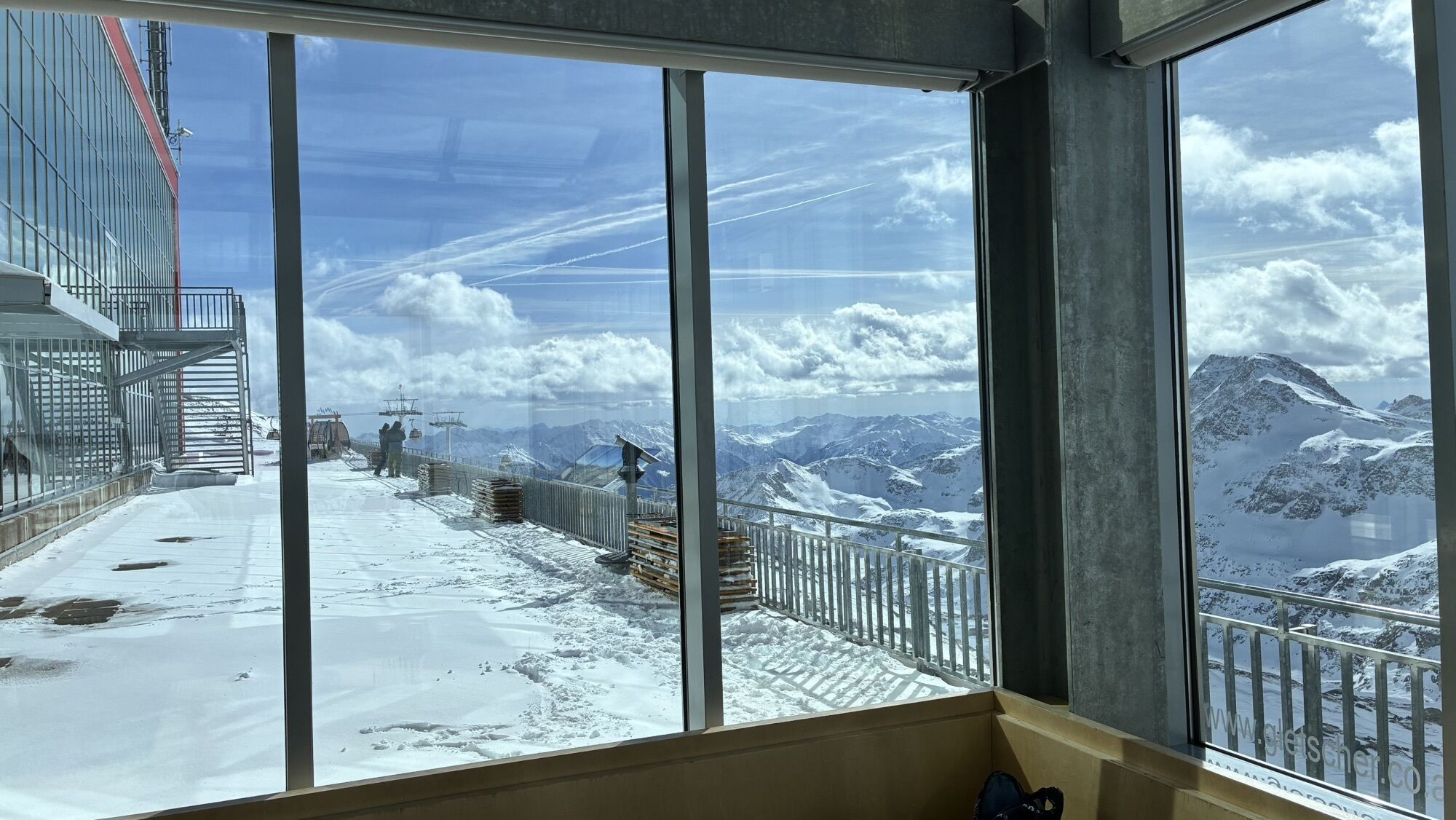
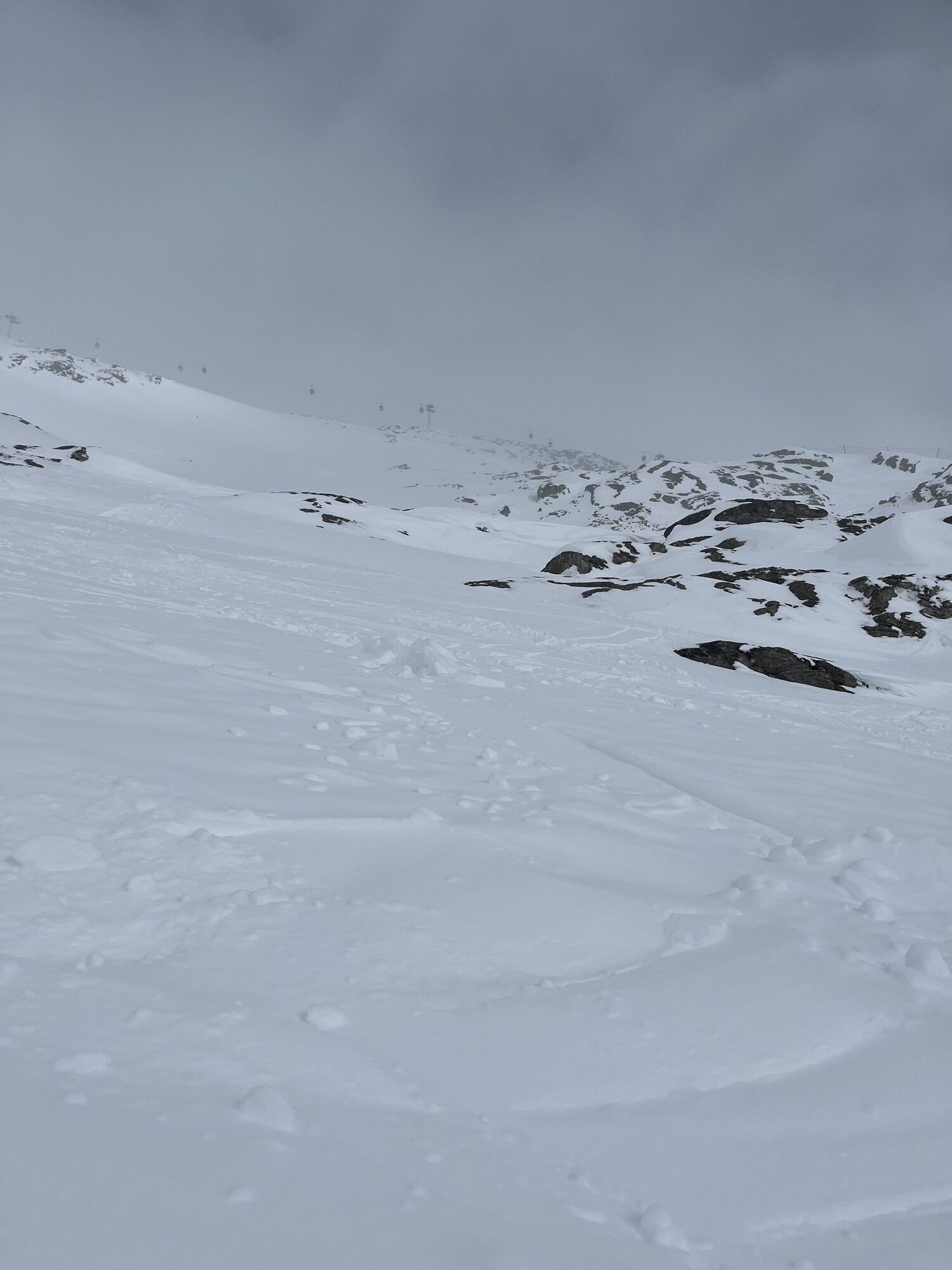
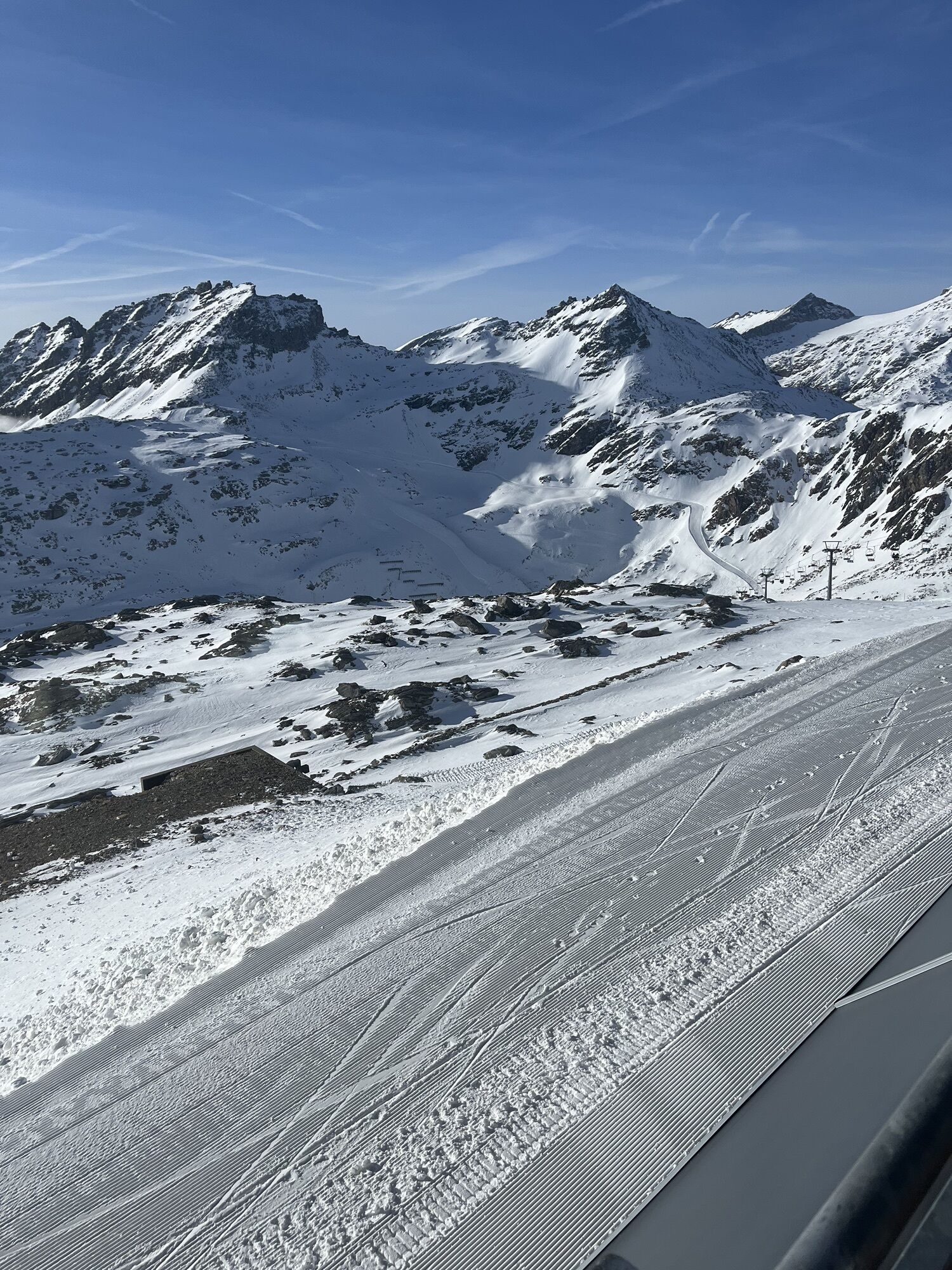
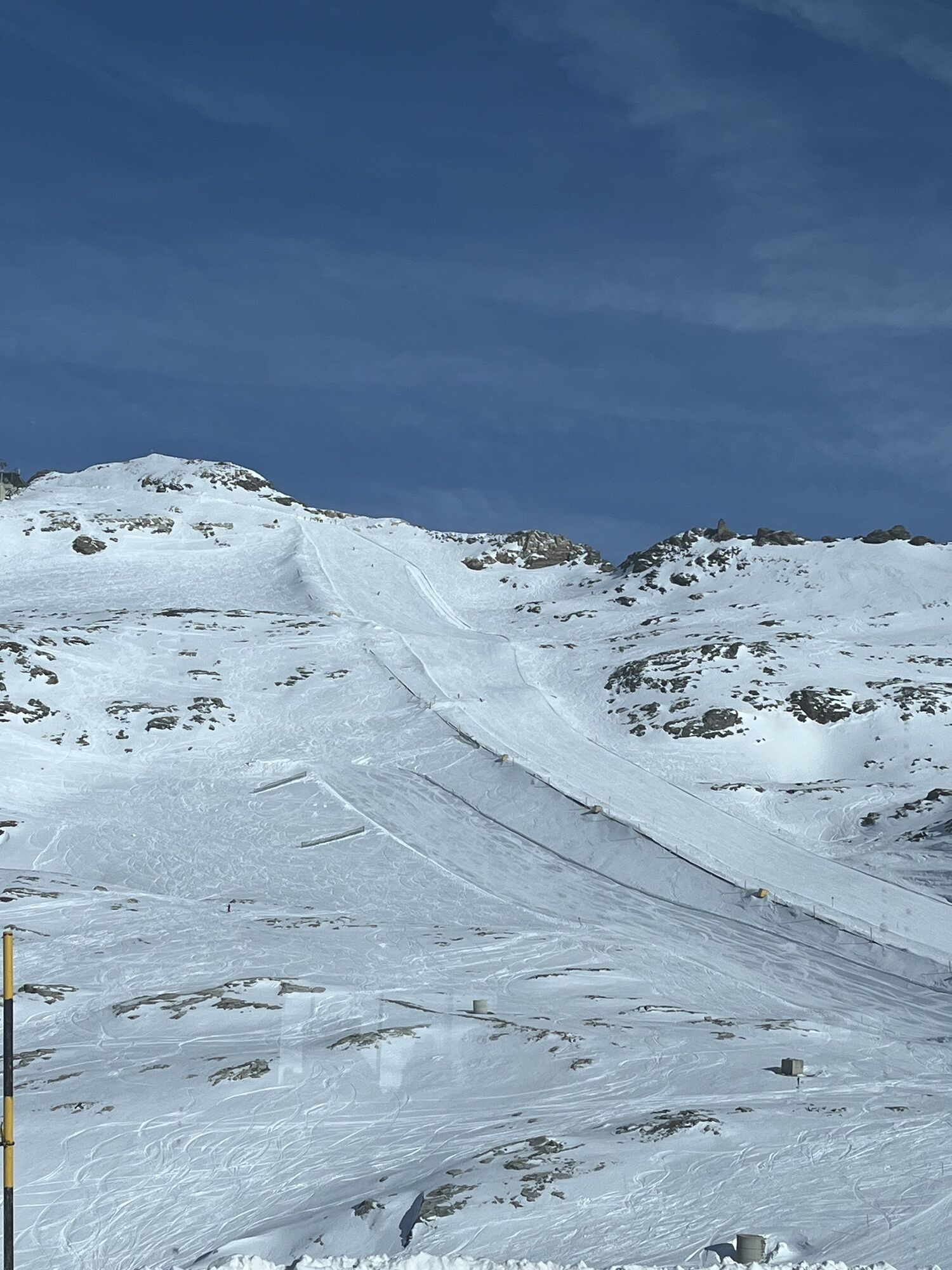
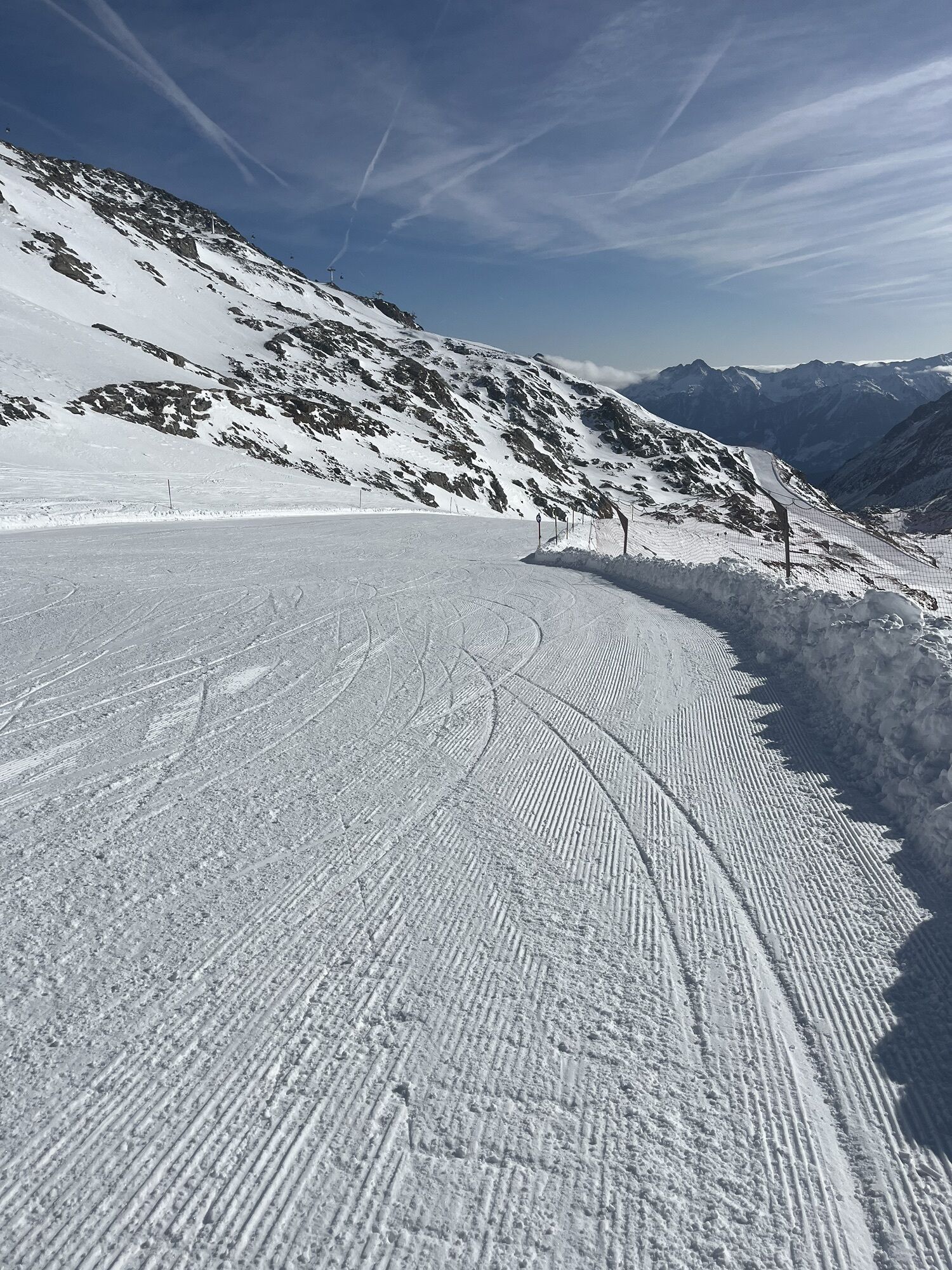
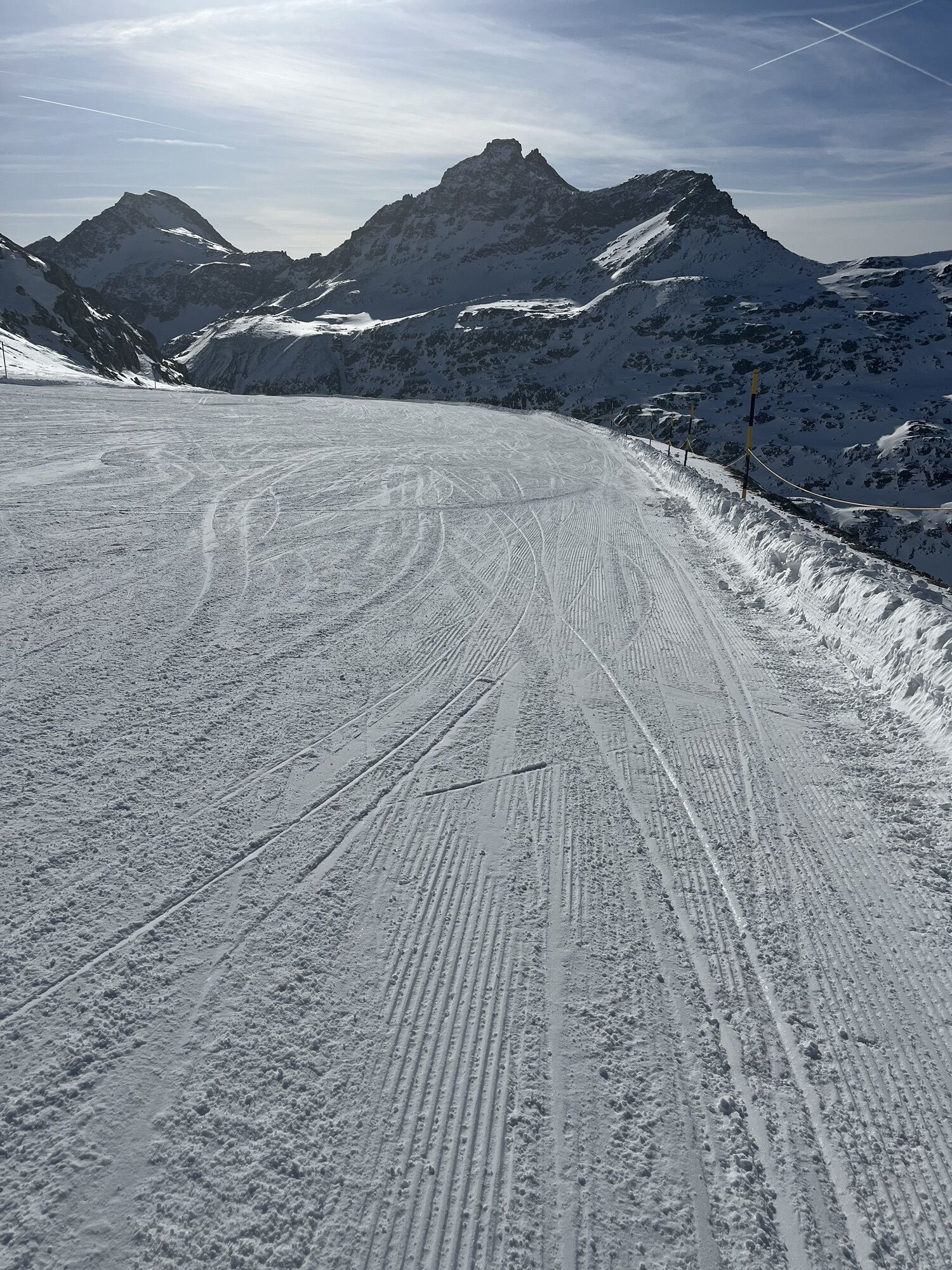
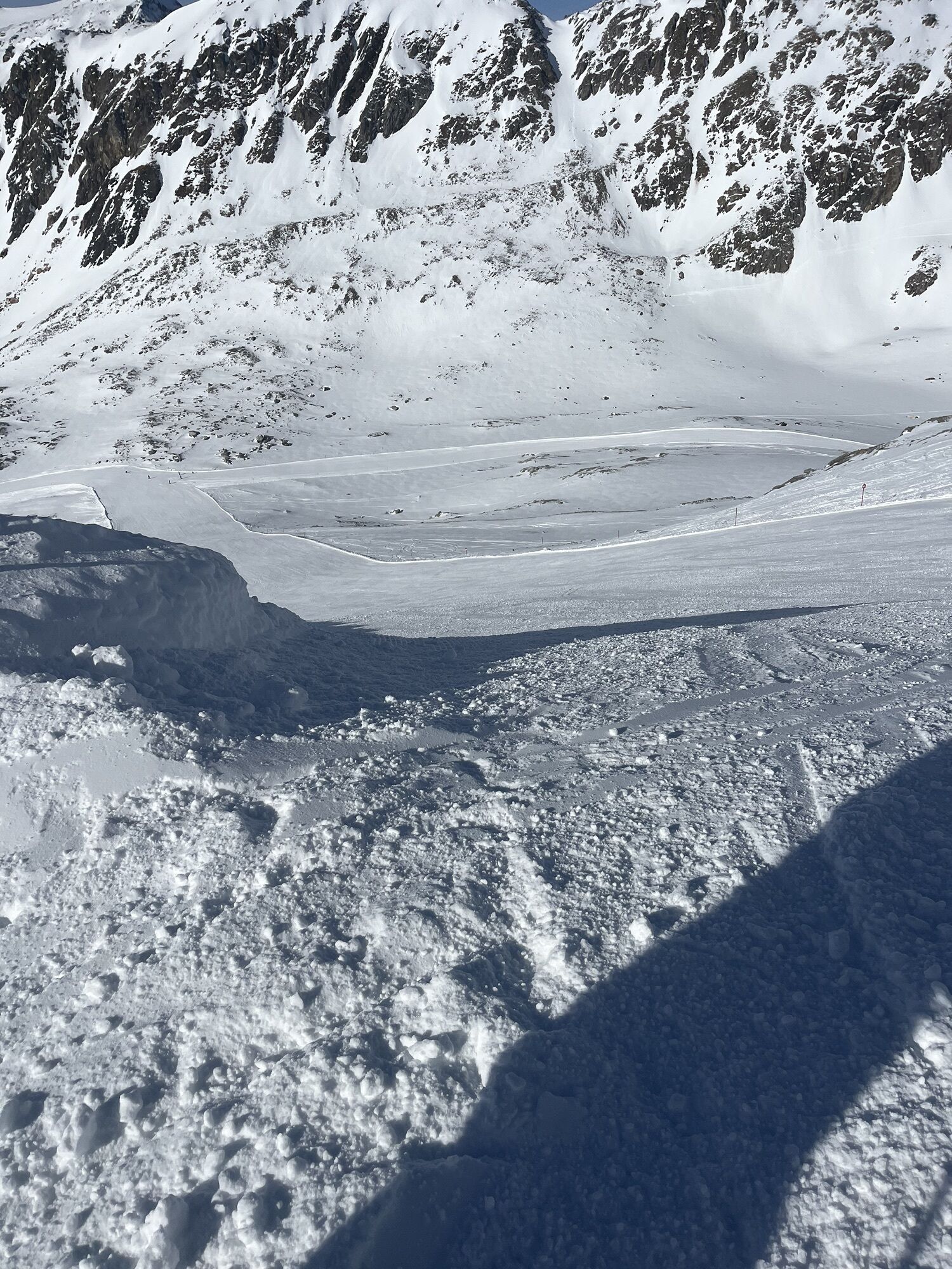
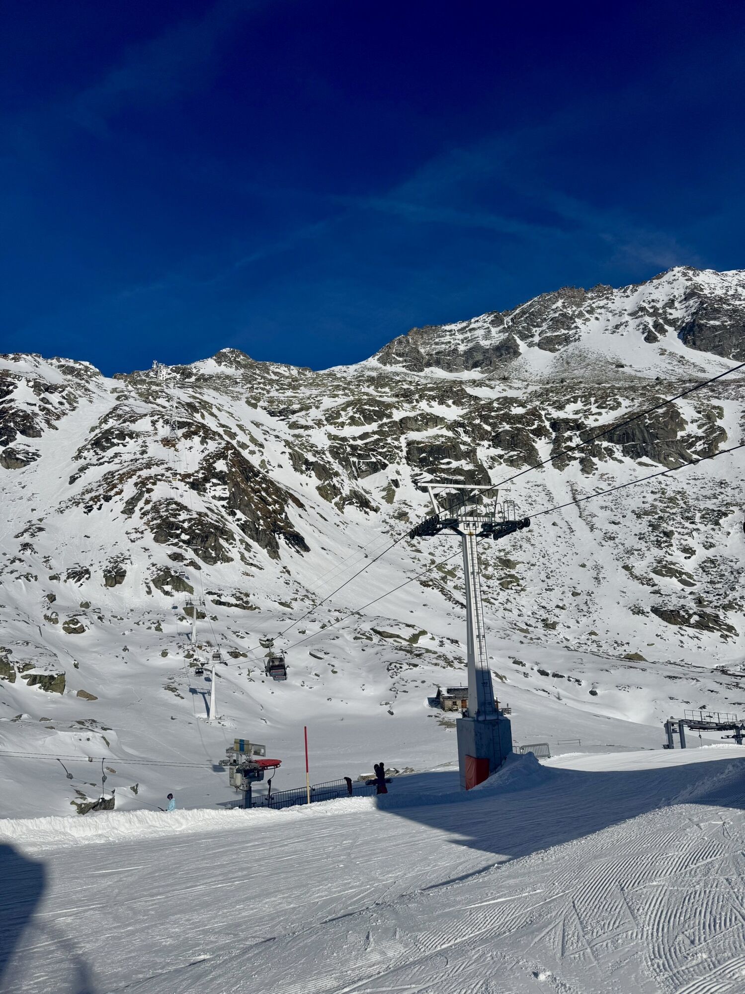
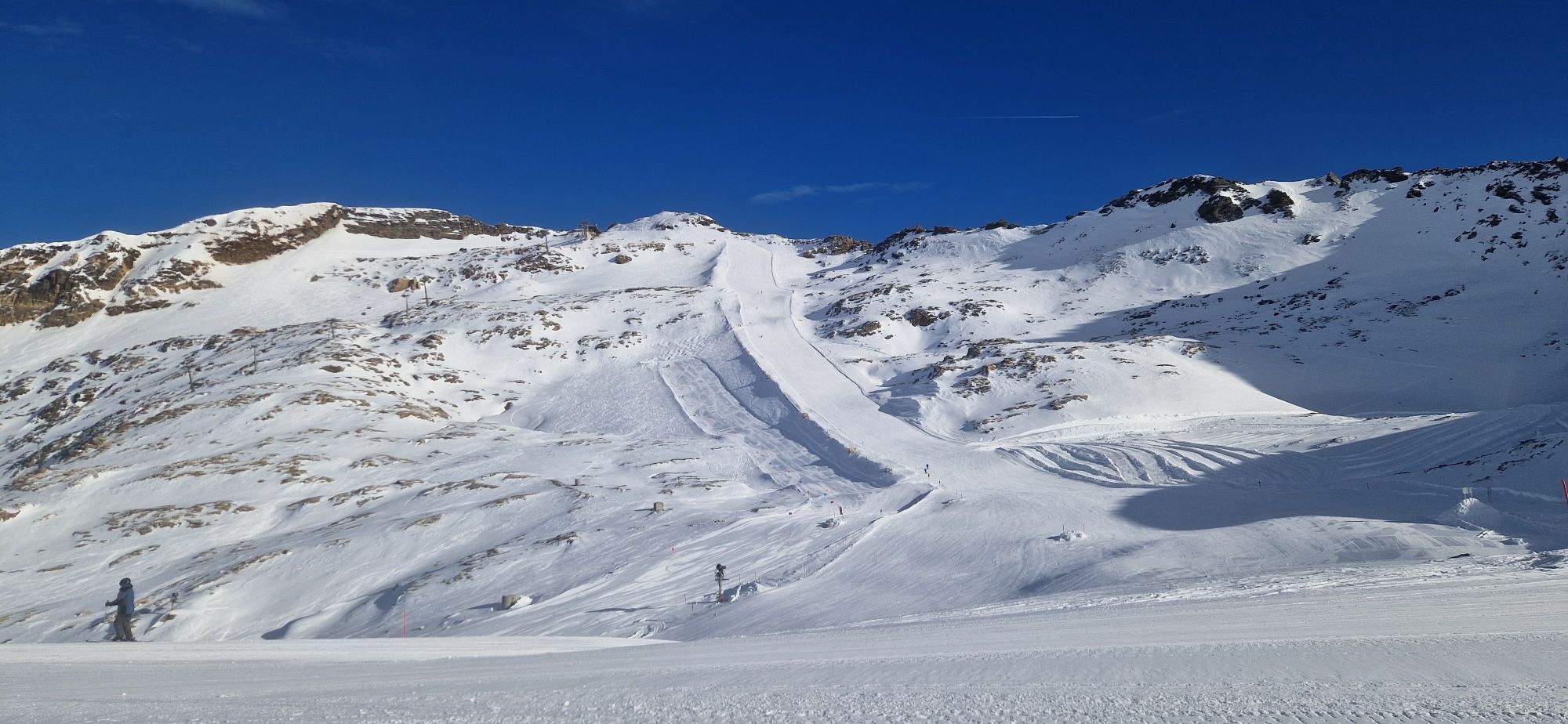
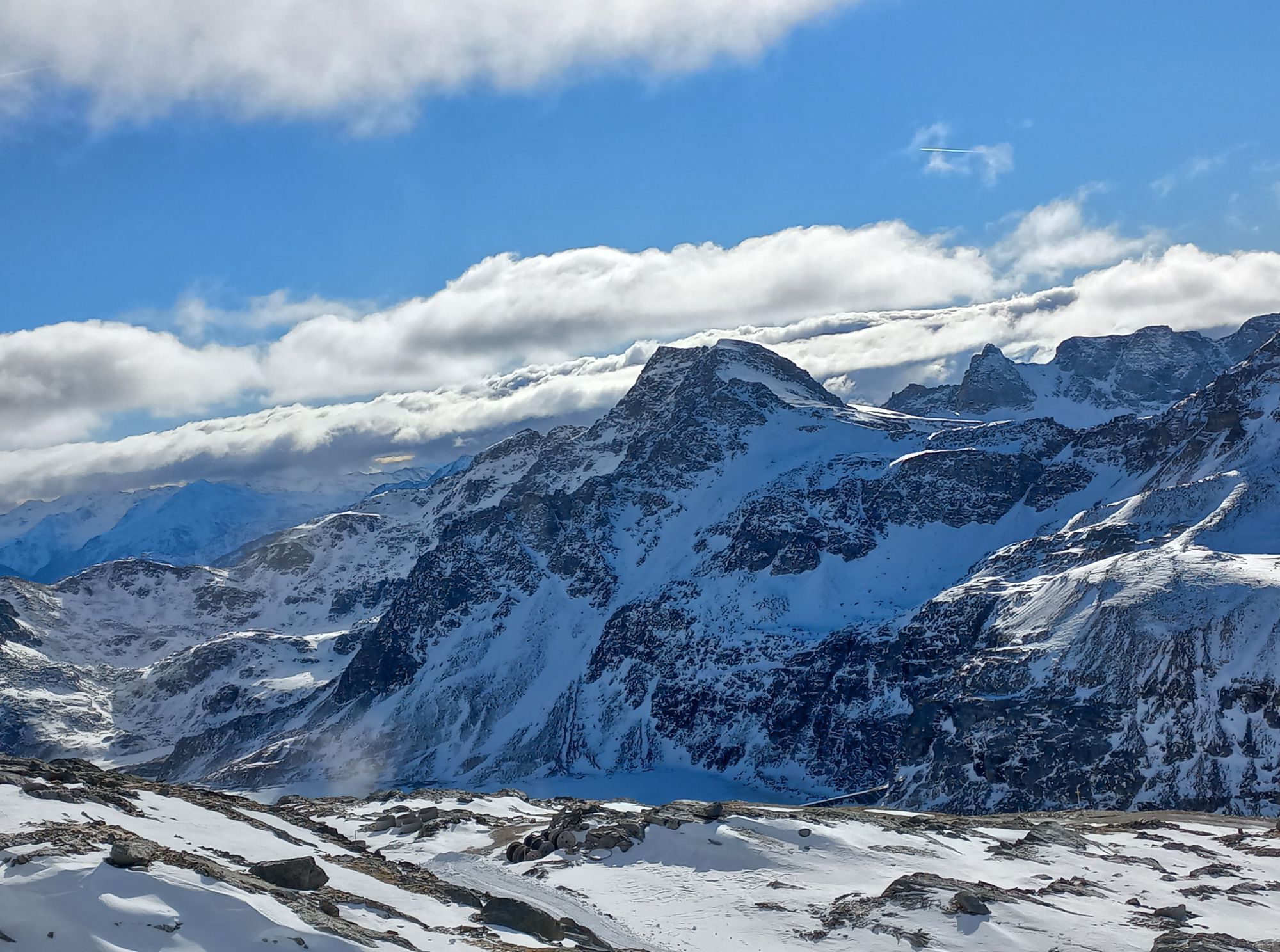
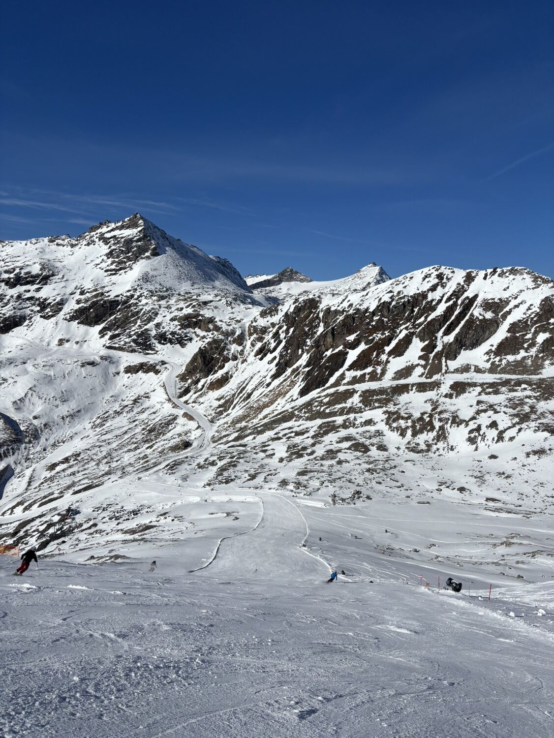
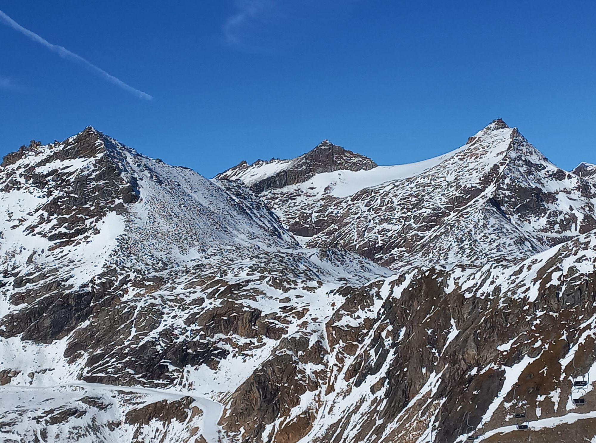
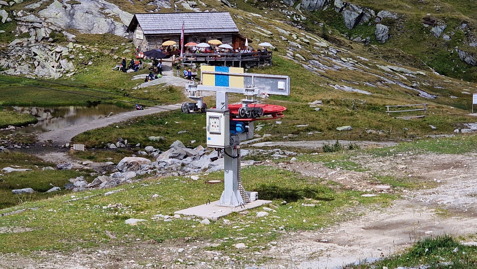
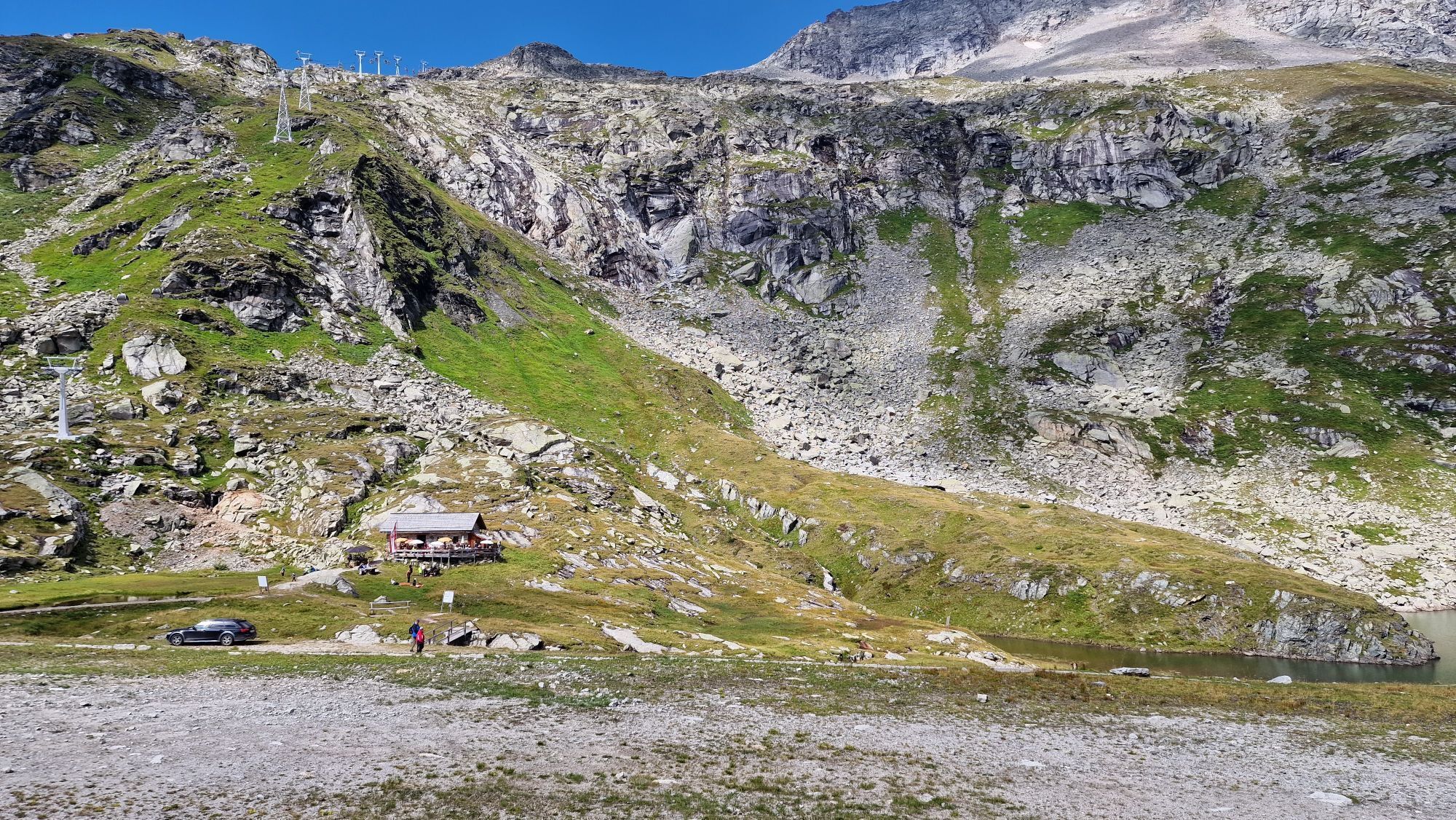
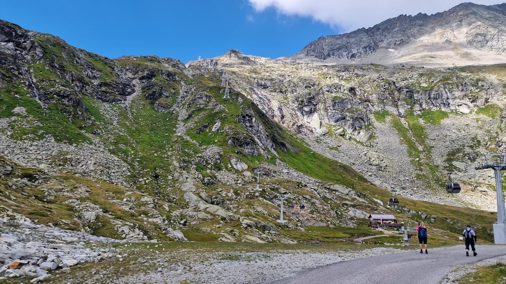
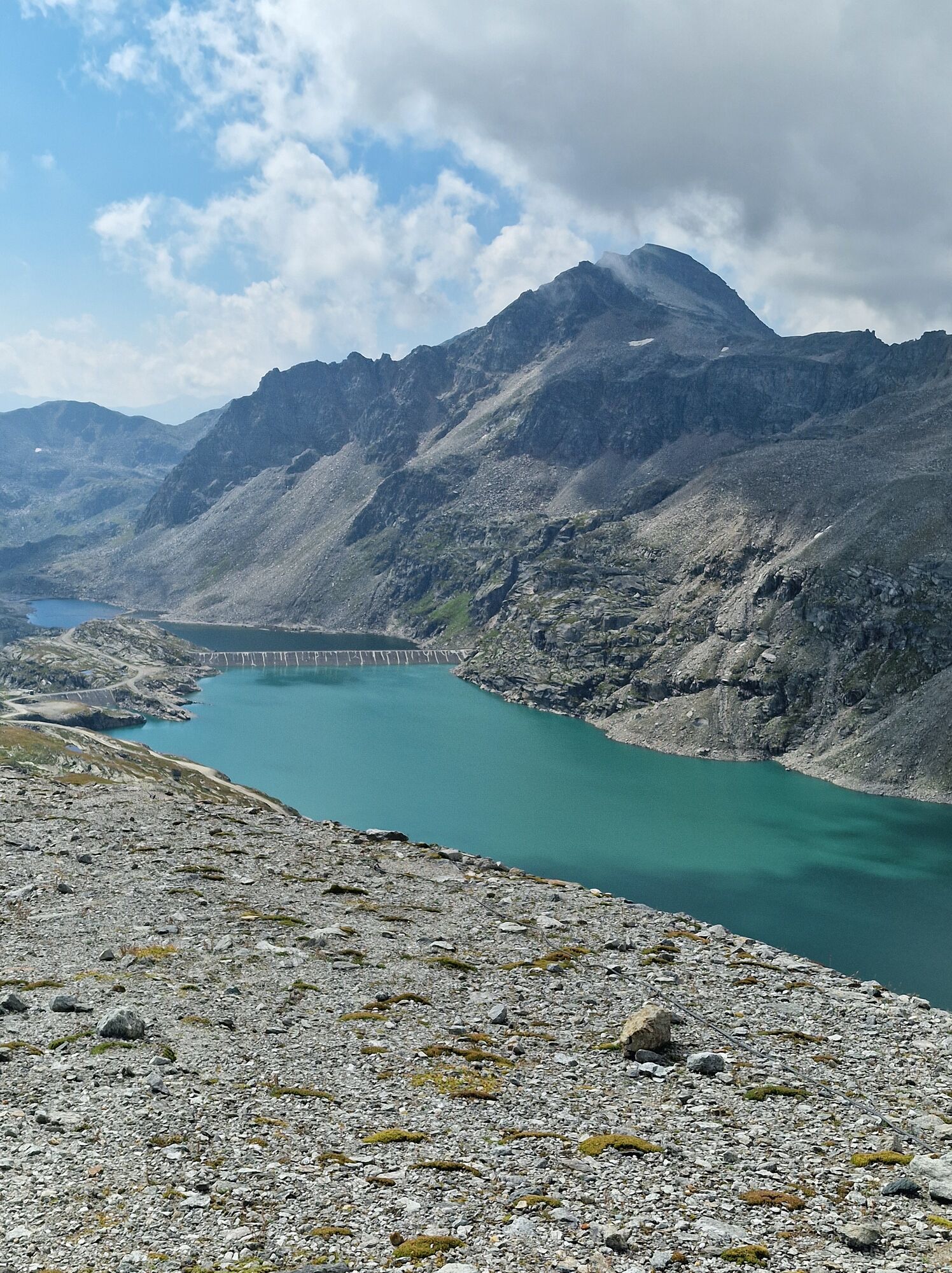
It goes without saying that such a high alpine bike tour happening at almost 2,800 meters involves many altitude meters for the biker. From the starting point, you ride on a paved road (L20a) up to the valley station of the Mölltaler Gletscherbahnen. From there, you continue on a paved road closed to individual traffic up to the middle station of the Mölltaler Gletscherbahnen (refreshment possibility at the Goldgräberhütte by Stübelesee). After another 150 altitude meters, you reach Weißseehaus on a narrow paved road (currently not operated). A few hundred meters past Weißseehaus, the asphalt changes to gravel and the unpaved path climbs steeply up to the Panoramarestaurant Eissee, the central station at Mölltaler Gletscher. You often ride through snow walls even in June, surrounded only by rock and ice. On this tour, you enter a high alpine glacier world by bike.
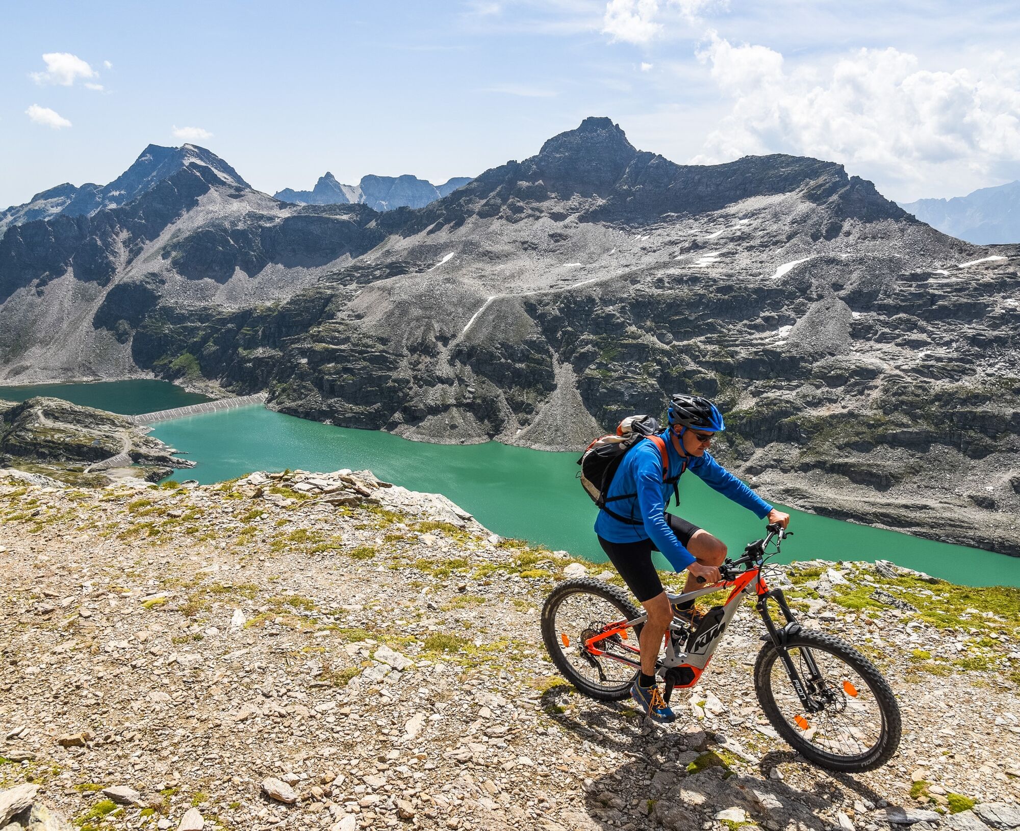
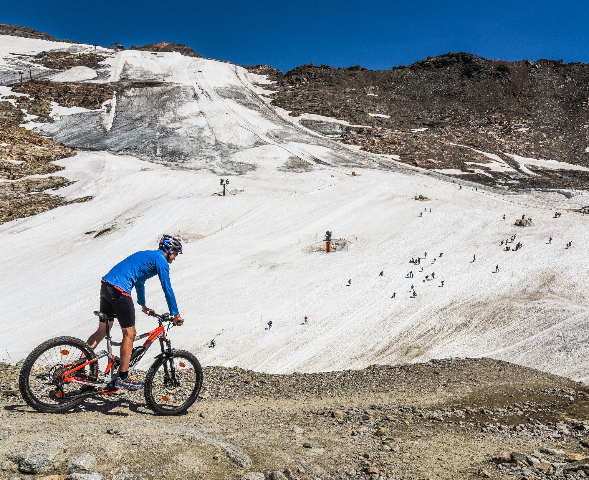
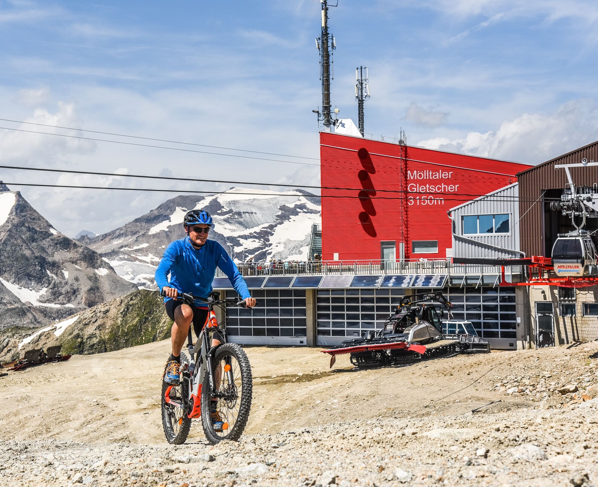
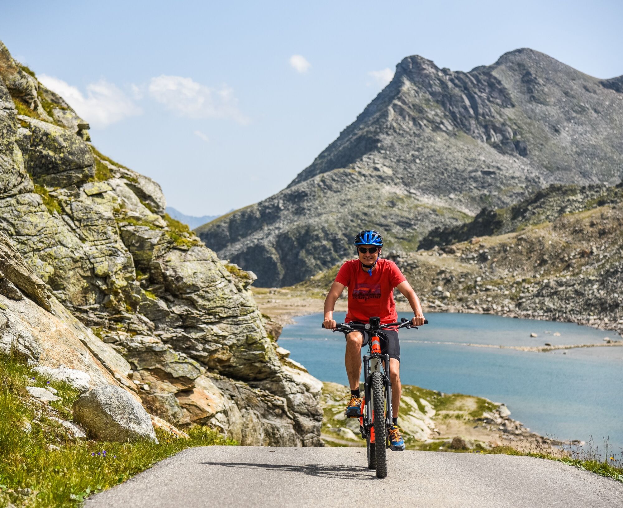
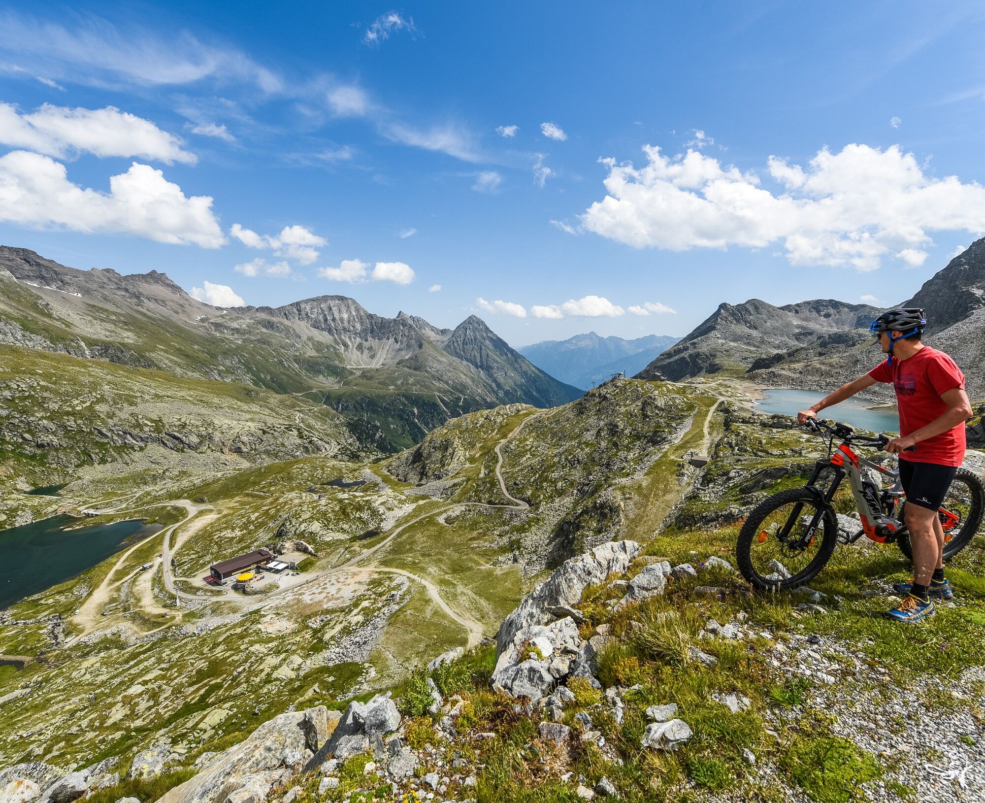
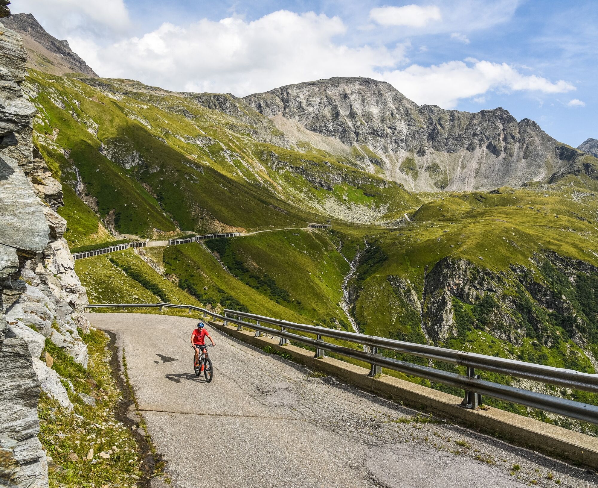

Start in Flattach/Ortsteil Außerfragant at the ADEG supermarket – state road L20a to Innerfragant, valley station Mölltaler Gletscherbahnen – keep left and follow the paved mountain road approx. 12 km to Stübelesee – past the Goldgräberhütte (refreshment possibility) to the middle station Mölltaler Gletscherbahnen – continue upwards to Weißseehaus (refreshment possibility) – mountain station Mölltaler Gletscher, highest point of the route Panoramarestaurant Eissee (refreshment possibility) – return via the same way – Weißseehaus – middle station Mölltaler Gletscherbahnen – Goldgräberhütte – Innerfragant, valley station Mölltaler Gletscherbahnen – Außerfragant to the starting point.
Parts of this route can also be ridden:
Valley station Mölltaler Gletscherbahn to mountain station Mölltaler Gletscher - length 17.7 km - altitude difference 1,731 m - riding time 4h Middle station Mölltaler Gletscher to mountain station Mölltaler Gletscher - length 6 km - altitude difference 595 m - riding time 1h 30minLarge free parking lot at the valley station of Mölltaler Gletscherbahnen
Da
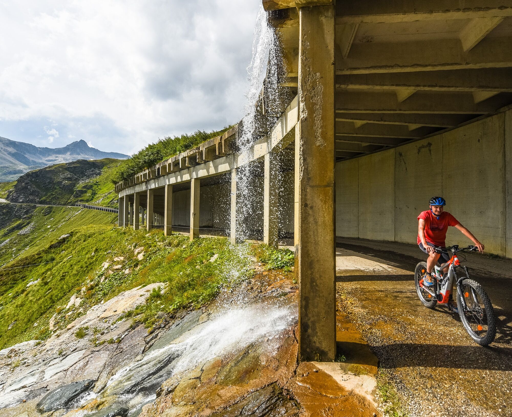
Pay attention to sufficient lighting as there are two tunnels without lighting. Warm clothing necessary due to high alpine conditions. Take enough to drink (refreshment possibility only in the last third).
Two tunnels without lighting along the route, so please definitely bring a light.
Watch out for Kelag company traffic.
In the interest of positive coexistence with landowners, hunting rights holders, and other stakeholders, please observe the following usage times:
May 1 to September 30: 9:00 a.m. to 8:00 p.m. October 1 to October 31: 9:00 a.m. to 4:00 p.m.Motorway A10 – coming from Villach/Italy
Via junction Spittal/Millstätter See to the exit Lendorf via B100 to the exit towards Mölltal, via B106 to Flattach/Außerfragant.
Federal road B106 – coming from Lienz
Federal road B106 – coming from Lienz via B107 to Winklern, then turn towards Mölltal, via B106 to Flattach/Außerfragant.
From early/mid June to mid-September, the bike and hiking bus runs daily from Spittal/Drau to Heiligenblut.
Parking spaces available in the village.
Mölltaler Gletscherbahnen
Bike transport with the Mölltaler Gletscher Express (= valley station to middle station) possible. Bike transport costs €5.50 plus lift ticket (status summer 2025).
Further information on the Hohe Tauern – the national park region at www.nationalpark-hohetauern.at
Mountain bike & e-bike rental:
INTERSPORT MENTIL
Kleindorf 40, A-9831 Flattach
Tel.: +43 664 2252860
www.intersportmentil.at
Good fitness is required. The unique panorama at the destination makes up for all the effort.

Spletne kamere s turneje
Pridobite vpogled
Vedno v živo na mestu z več kot 9.500 spletnimi kamerami. bergfex Kot uporabnik Pro si lahko zdaj ogledate ustrezne spletne kamere za številne izlete v aplikaciji izleti iz. Tako si lahko neposredno ogledate trenutne razmere.
Priljubljeni izleti v okolici
-
4.5
Groppenstein Gorge Obervellach
srednjaPohodništvo 2.99 km -
5.0
Silberpfennig, Salzburger Land/Österreich
srednjaPohodništvo 13.8 km -
4.9
Wanderung zur Schwussner Hütte
svetlobaPohodništvo 8.07 km -
4.8
Hohe Sonnblick Up
težkoPohodništvo 9.14 km -
4.0
Raggaschlucht
srednjaPohodništvo 3.44 km -
4.5
Bad Gastein-Böckstein-Sportgastein(Schlechtwettervariante)
Pohodništvo 17.2 km -
4.5
Niedersachsenhaus
srednjaPohodništvo 4.84 km -
4.5
Arthur von Schmidhaus
srednjaPohodništvo 6.36 km -
4.8
Rifflscharte - Kolmkarscharte - Bockhartscharte - Sportgastein
srednjaPohodništvo 13.5 km -
4.5
Böckfeldalm-Stubnerkogel Mittelstation
srednjaPohodništvo 10.9 km
Pohodništvo in sledenje


Ne zamudite ponudb in navdiha za naslednje počitnice
Vaš e-poštni naslov je bil dodan na poštni seznam.





