



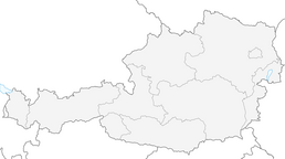


KL_N5 Crete Rosse
Stopnja težavnosti: B/C
Fotografije naših uporabnikov
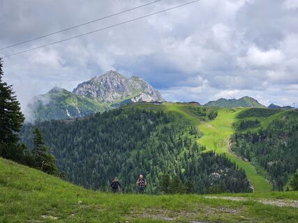
 © Florian DürneggerUstvarjeno na 04.07.2024
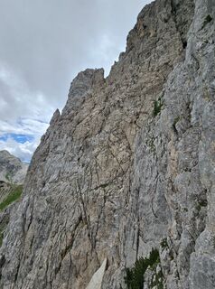 © Florian DürneggerUstvarjeno na 04.07.2024
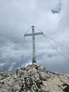 © Florian DürneggerUstvarjeno na 04.07.2024
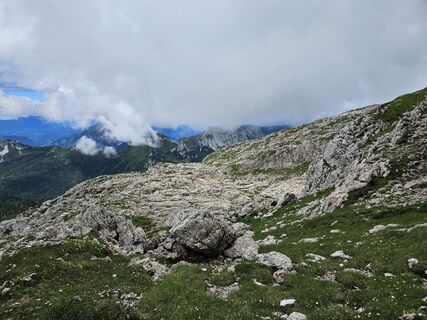 © Florian DürneggerUstvarjeno na 04.07.2024
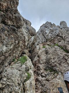 © Florian DürneggerUstvarjeno na 04.07.2024
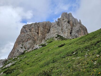 © Florian DürneggerUstvarjeno na 04.07.2024
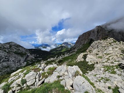 © Florian DürneggerUstvarjeno na 04.07.2024
 © Florian DürneggerUstvarjeno na 04.07.2024
 © Florian DürneggerUstvarjeno na 04.07.2024
 © Tina KroosUstvarjeno na 28.03.2026
 © bergenberniUstvarjeno na 28.03.2026
 © Juergen DomsUstvarjeno na 25.03.2026
 © Tina KroosUstvarjeno na 08.03.2026
 © bergenberniUstvarjeno na 08.03.2026
 © Tina KroosUstvarjeno na 08.03.2026
 © bergenberniUstvarjeno na 08.03.2026
 © Beata SUstvarjeno na 27.02.2026
 © Beata SUstvarjeno na 27.02.2026
 © bergenberniUstvarjeno na 26.02.2026
 © Tina KroosUstvarjeno na 26.02.2026
 © bergenberniUstvarjeno na 26.02.2026
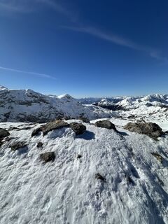 © Tina KroosUstvarjeno na 26.02.2026
 © bergenberniUstvarjeno na 26.02.2026
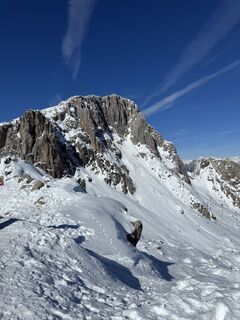 © Tina KroosUstvarjeno na 26.02.2026
 © Nikolas HögerUstvarjeno na 18.02.2026
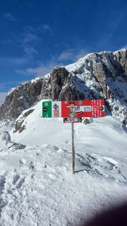 © Hendrik KleinsorgeUstvarjeno na 15.02.2026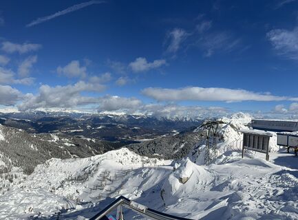
 © Ewoud SiezenUstvarjeno na 15.02.2026
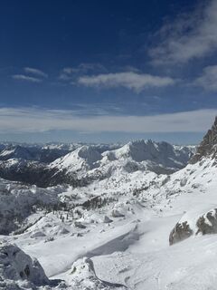 © Ewoud SiezenUstvarjeno na 15.02.2026
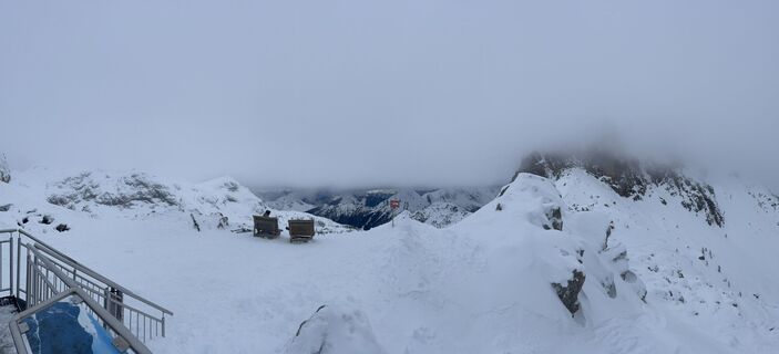 © Walkiewicz TUstvarjeno na 09.02.2026
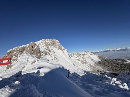 © Boldizsár FazekasUstvarjeno na 31.01.2026
 © Krystof MachUstvarjeno na 22.01.2026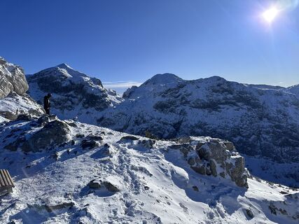
 © Žiga ŠtritofUstvarjeno na 11.01.2026
 © Gerhild ZauchnerUstvarjeno na 11.10.2025
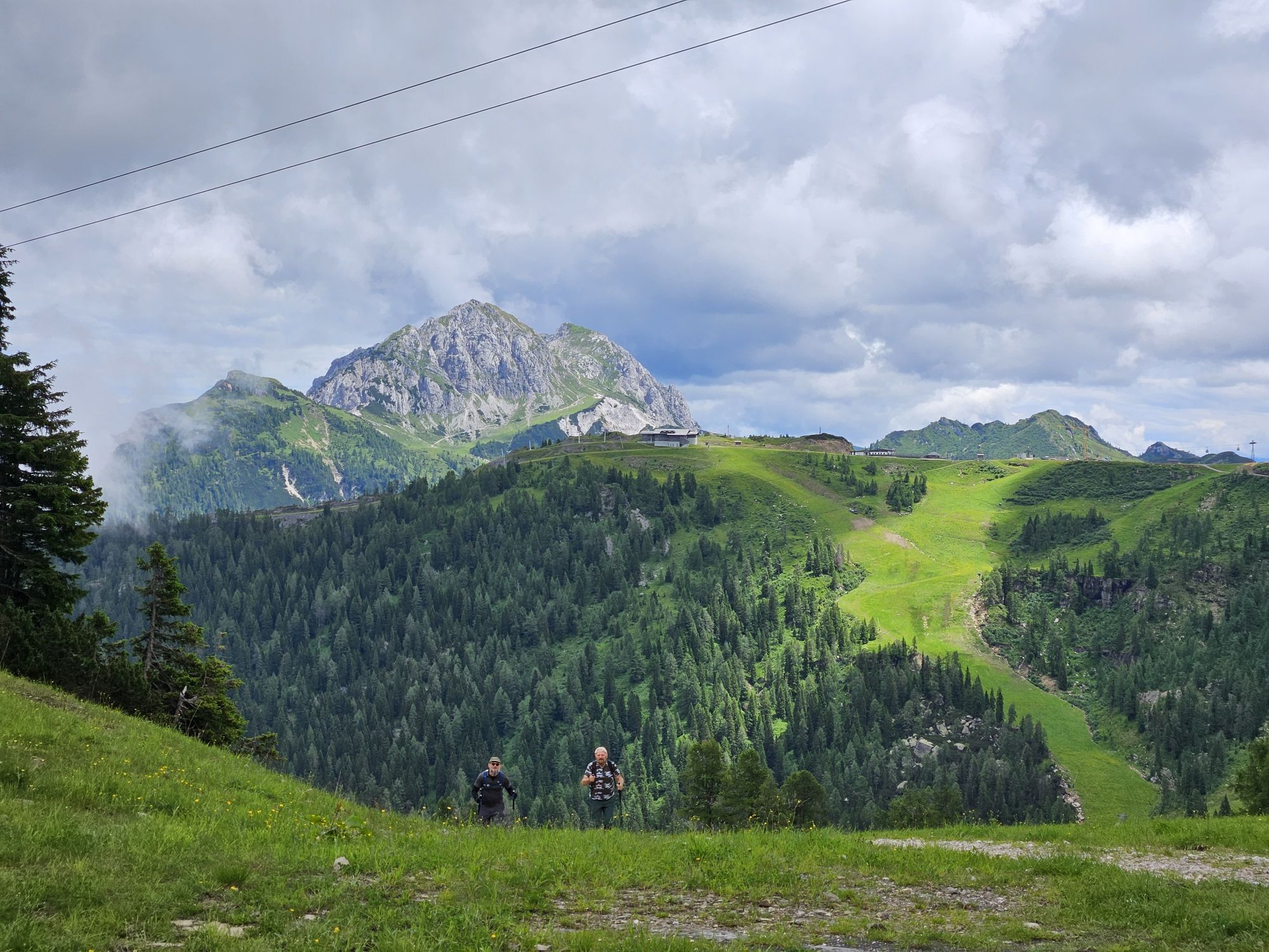
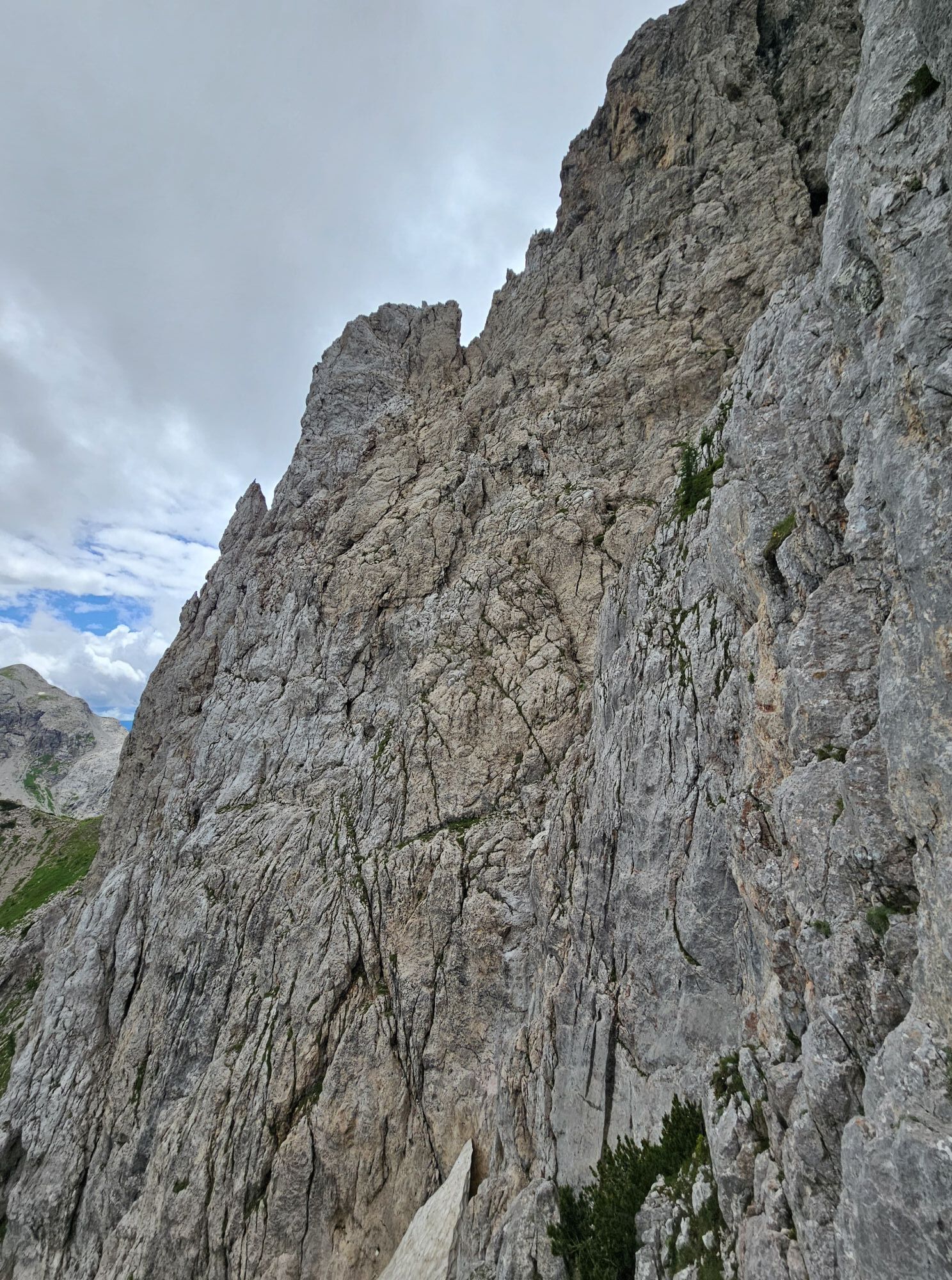
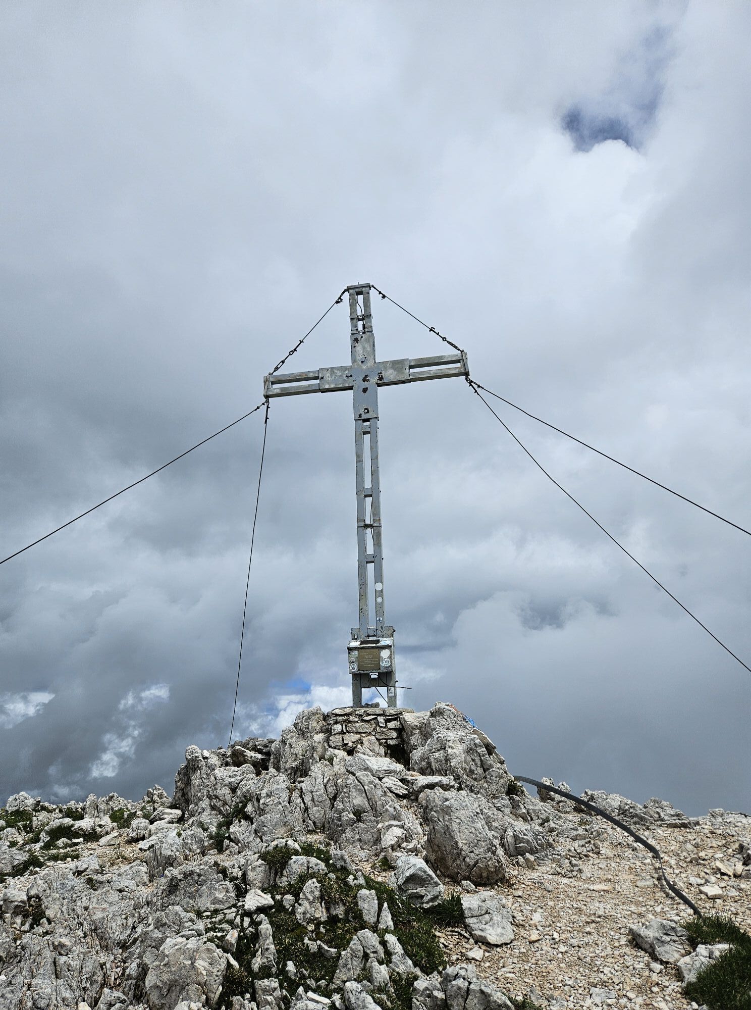
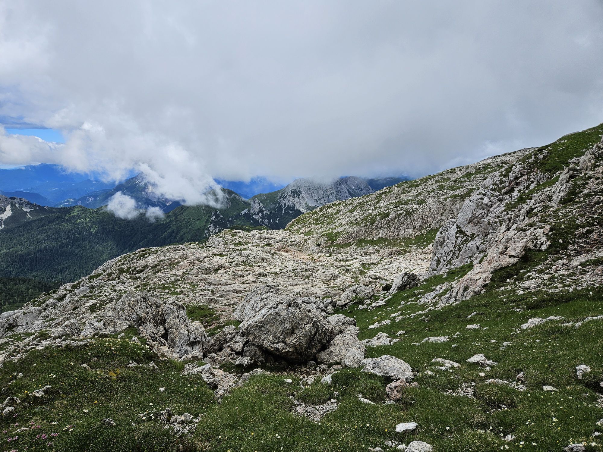
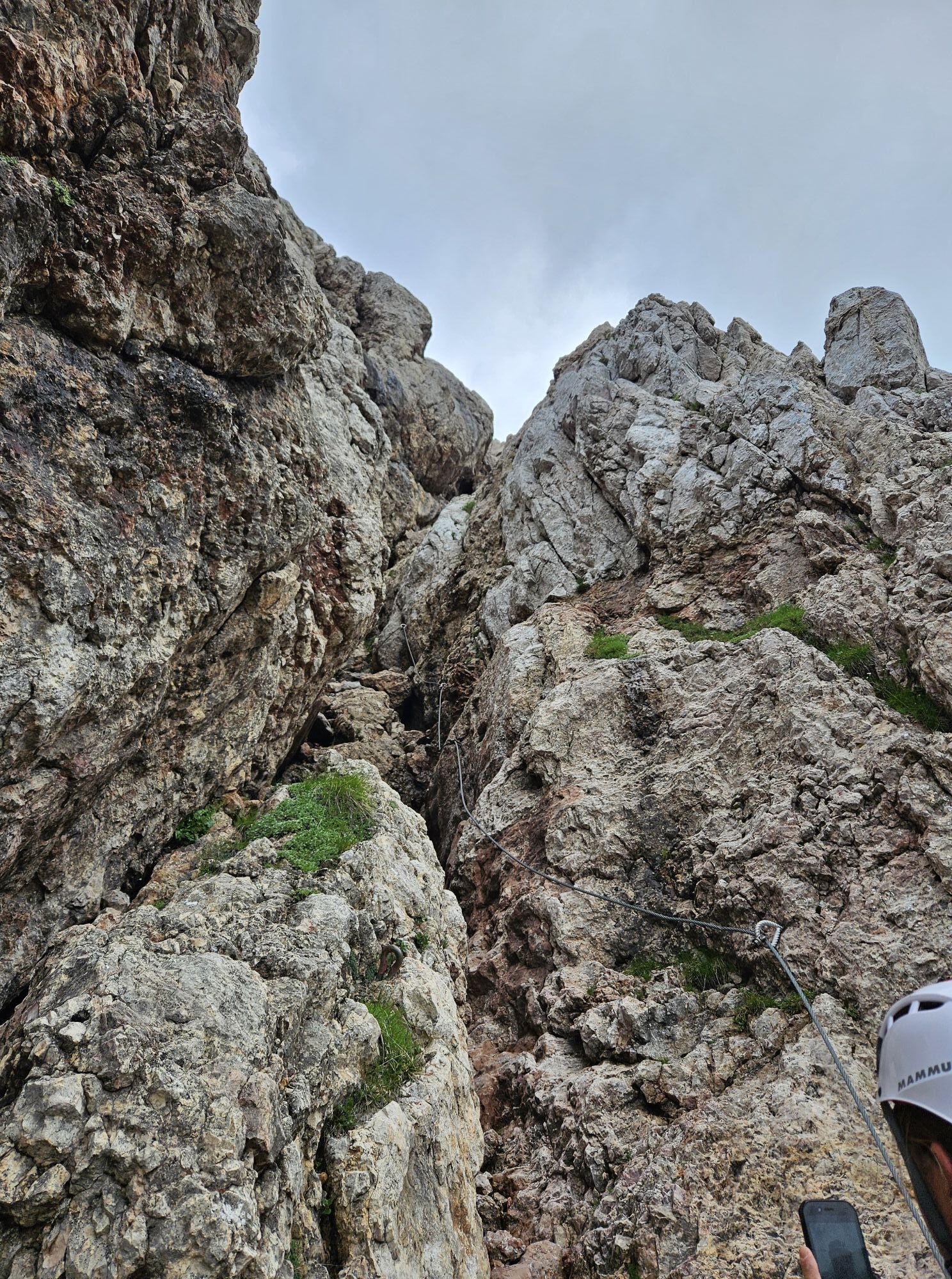
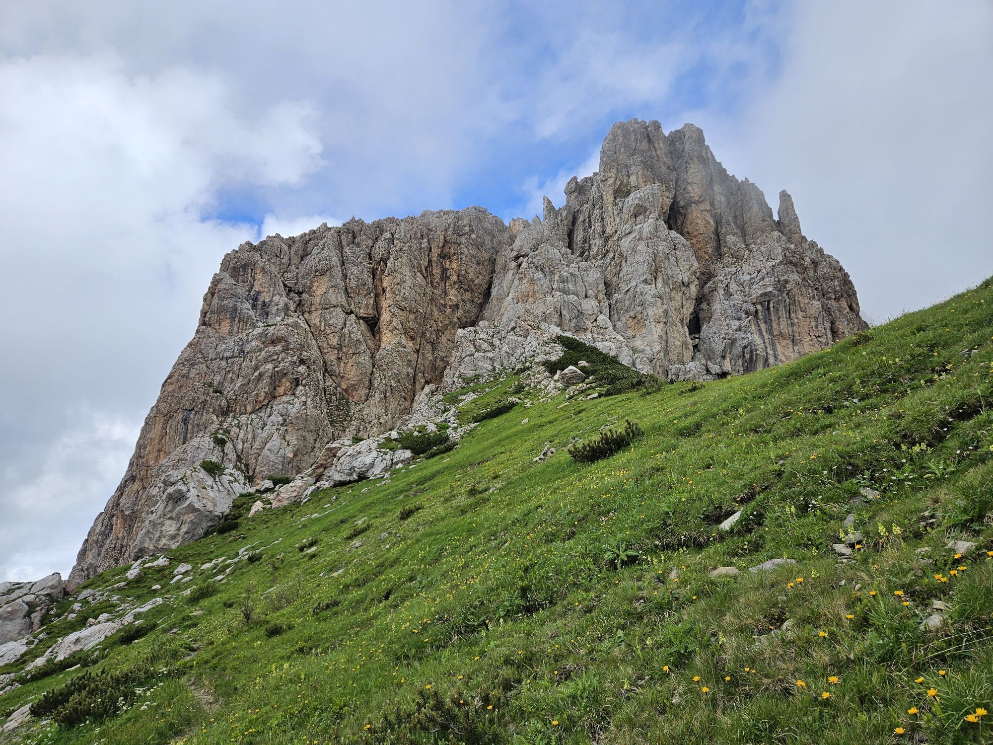
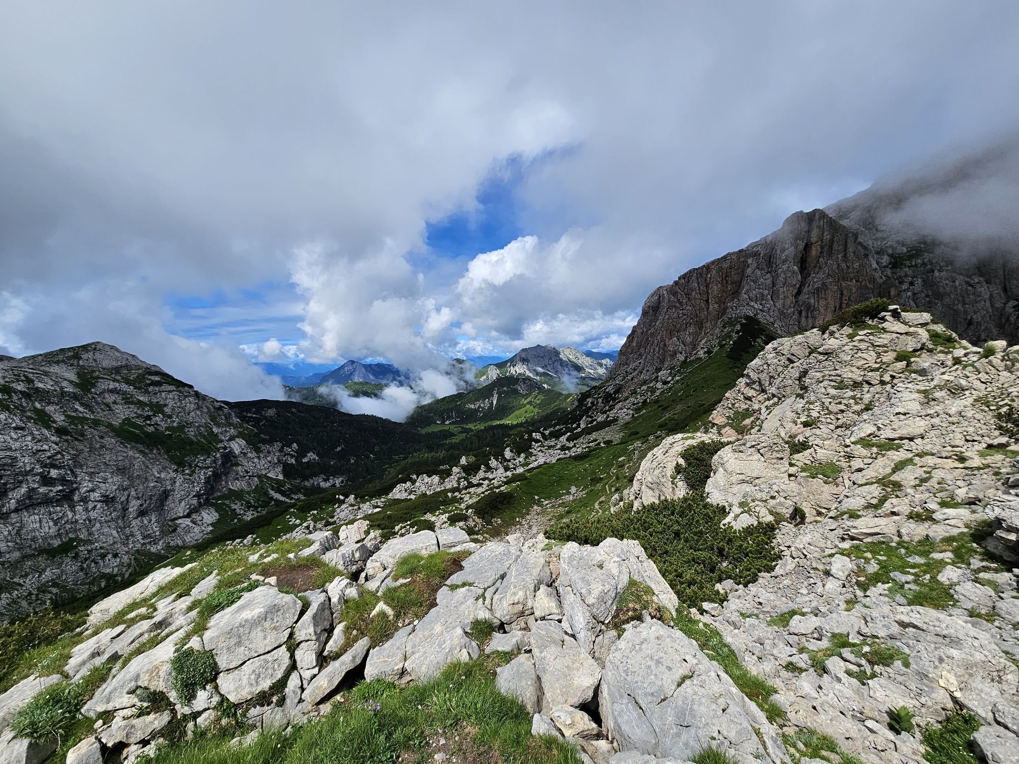
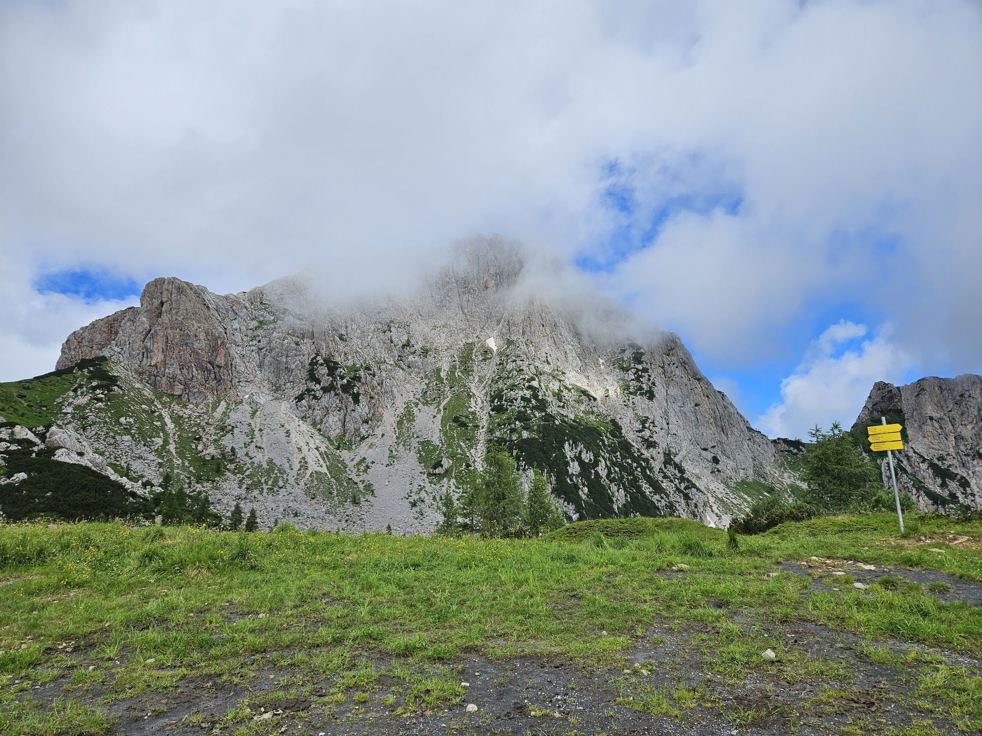
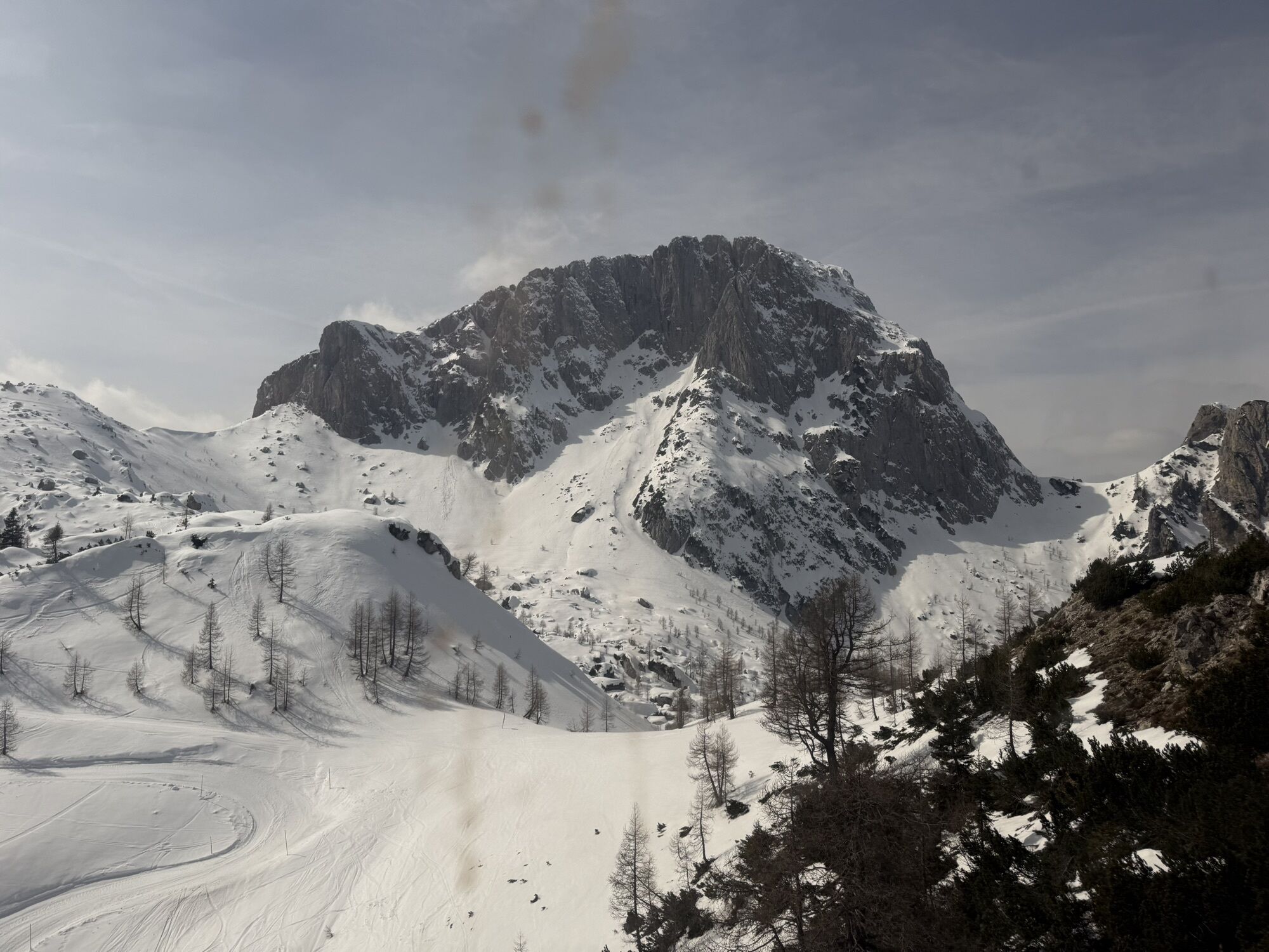
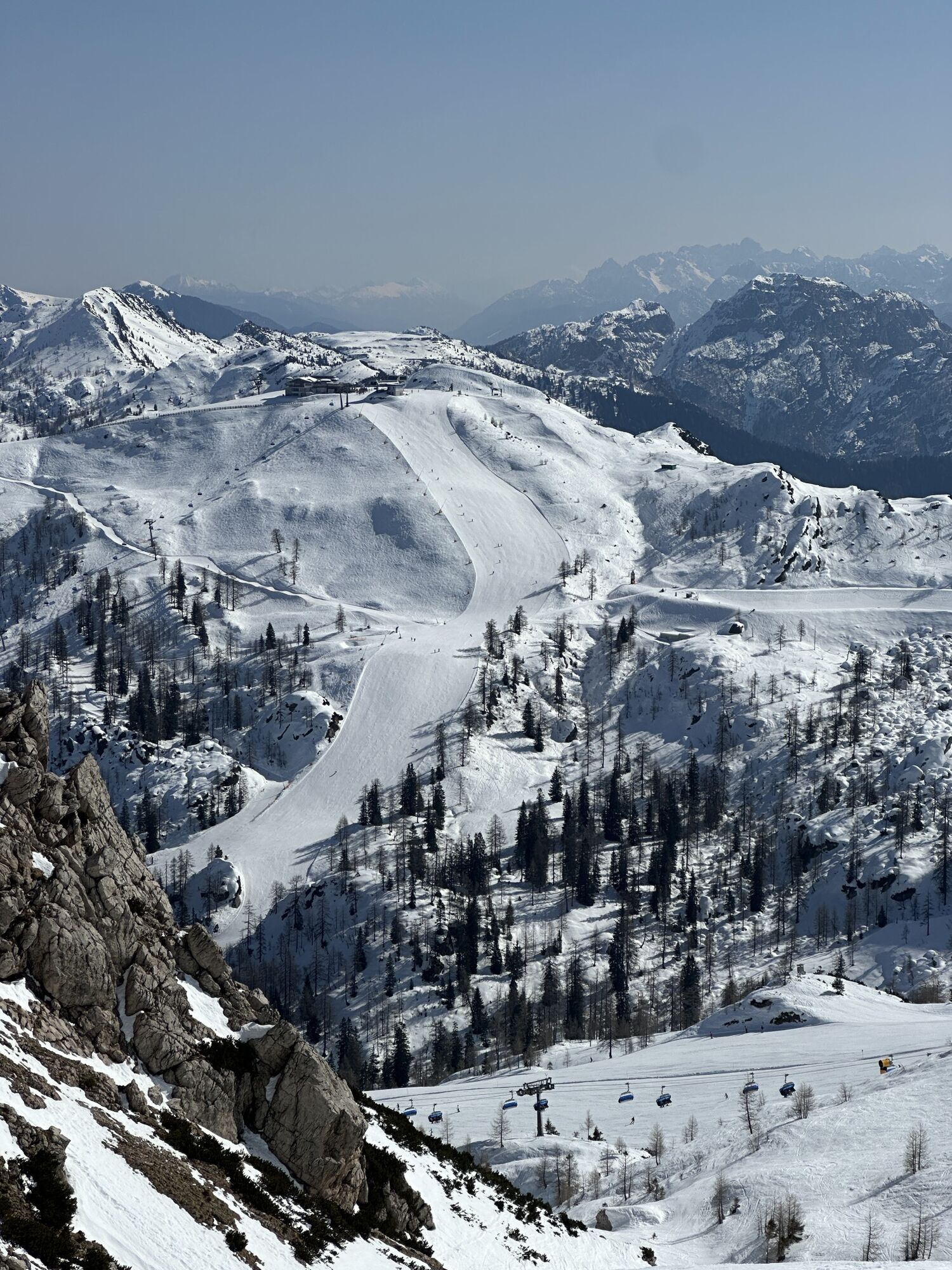

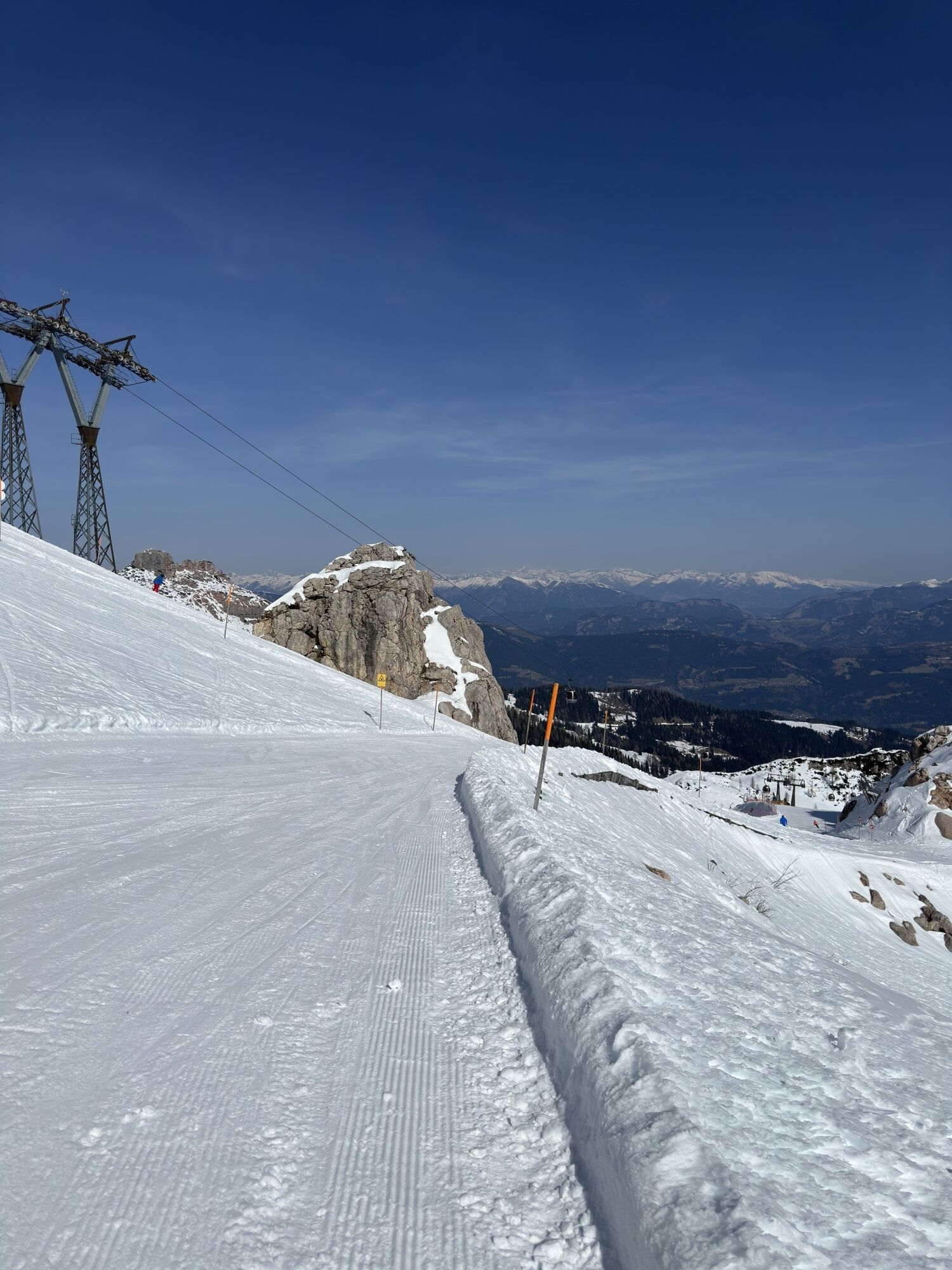
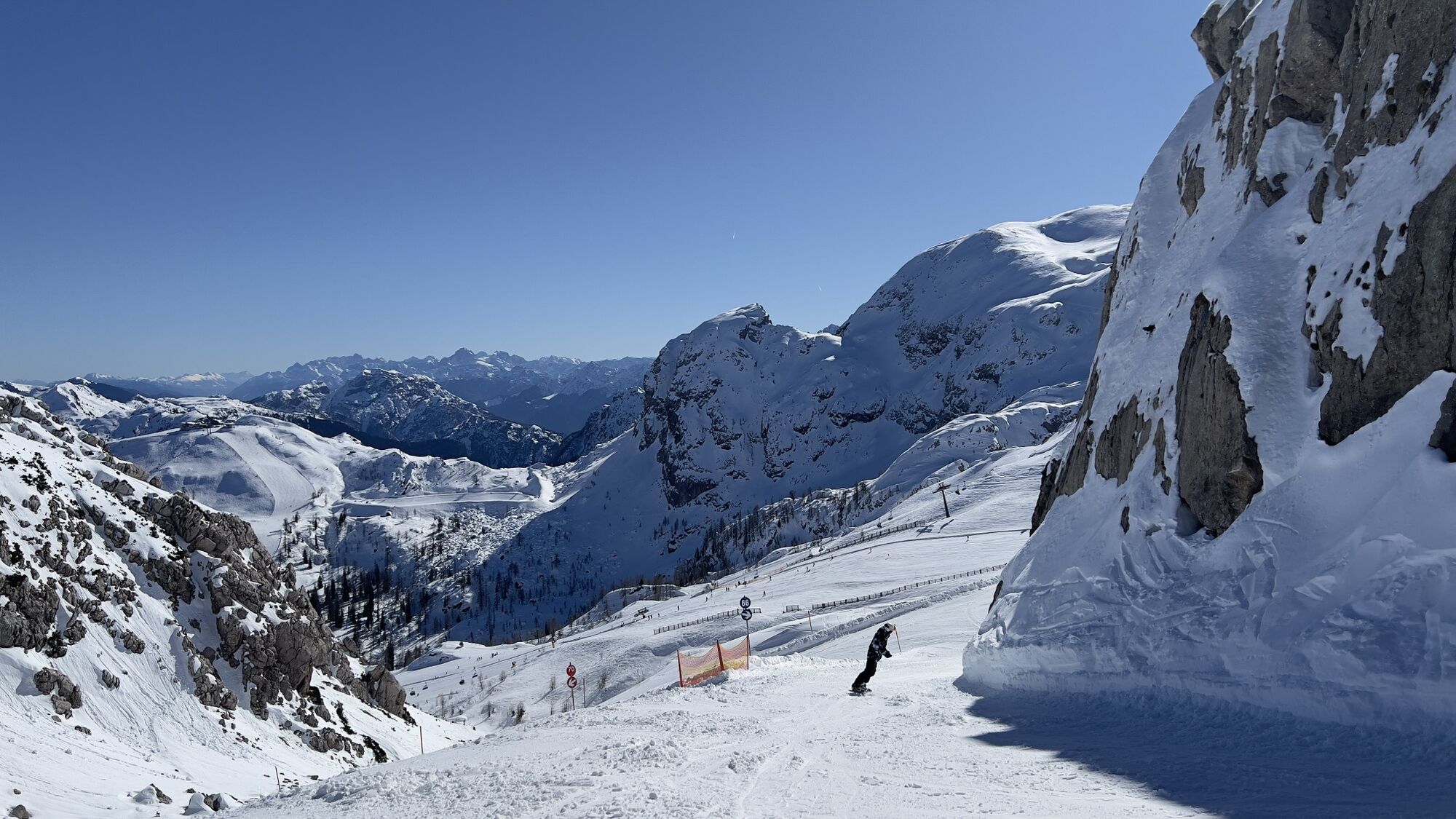


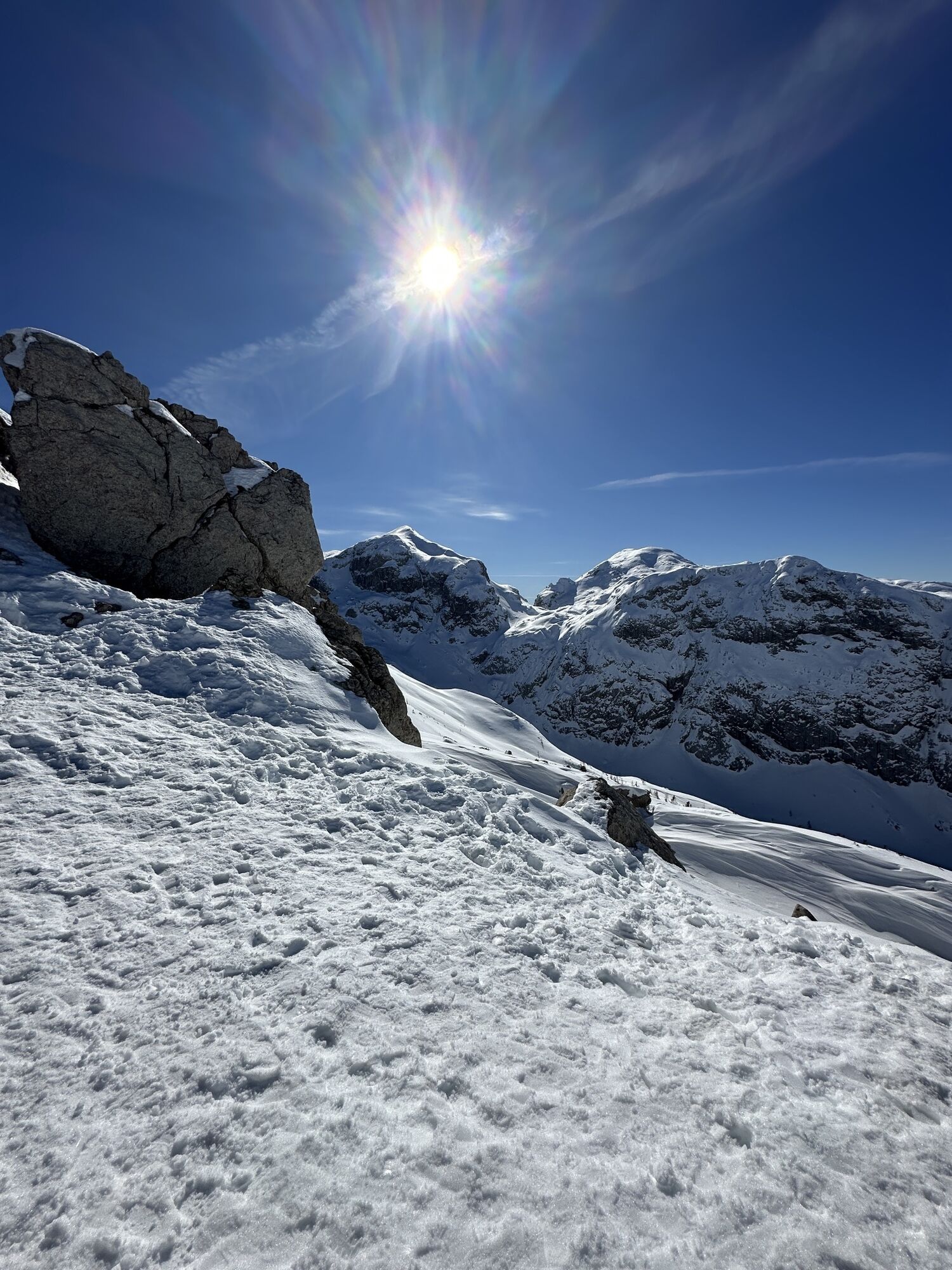
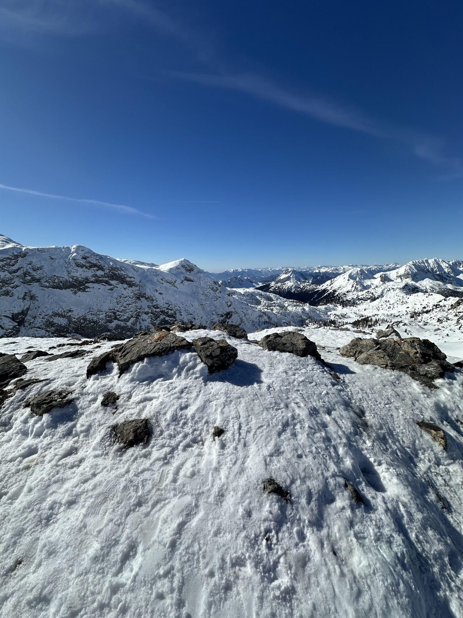

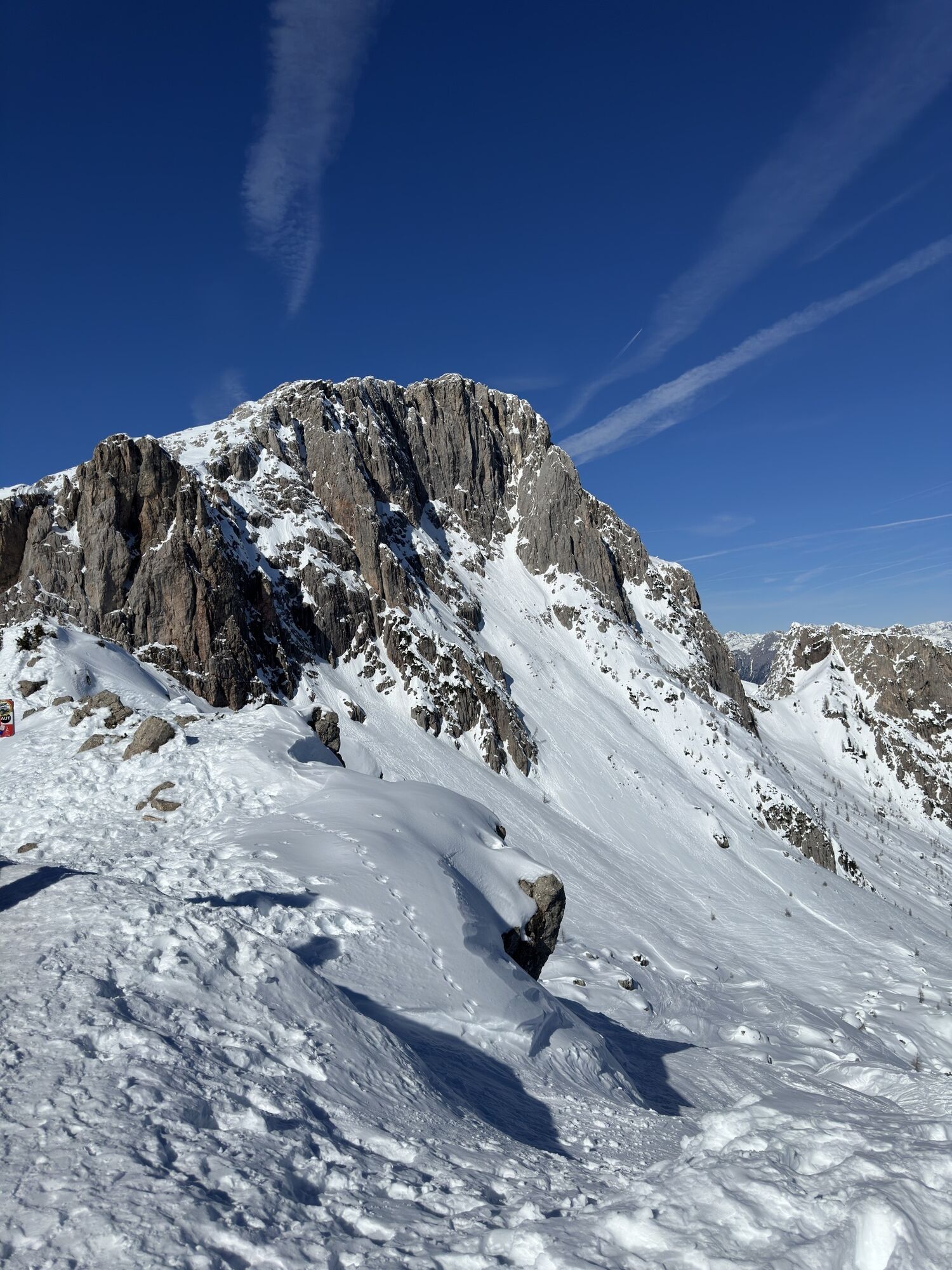
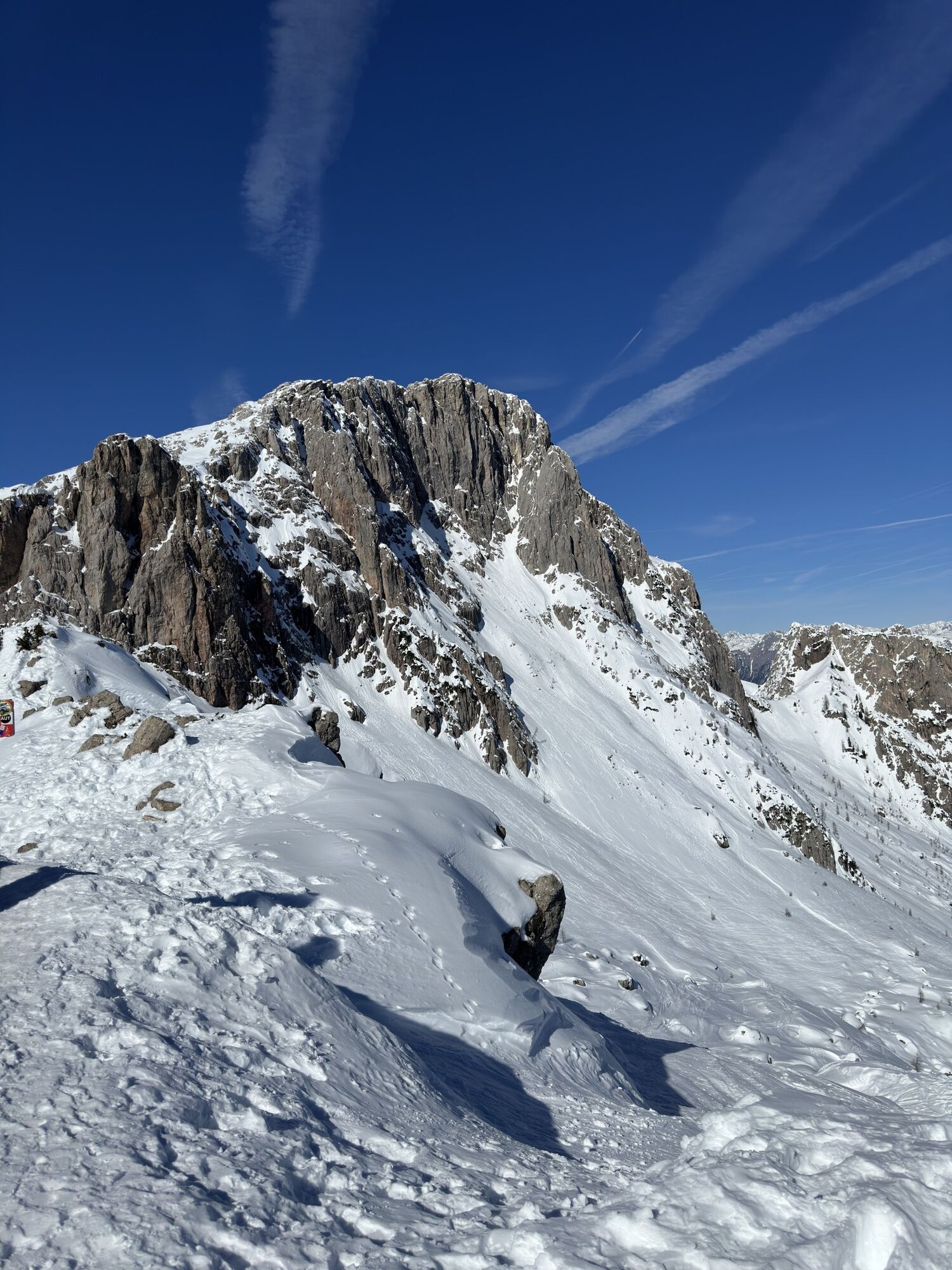
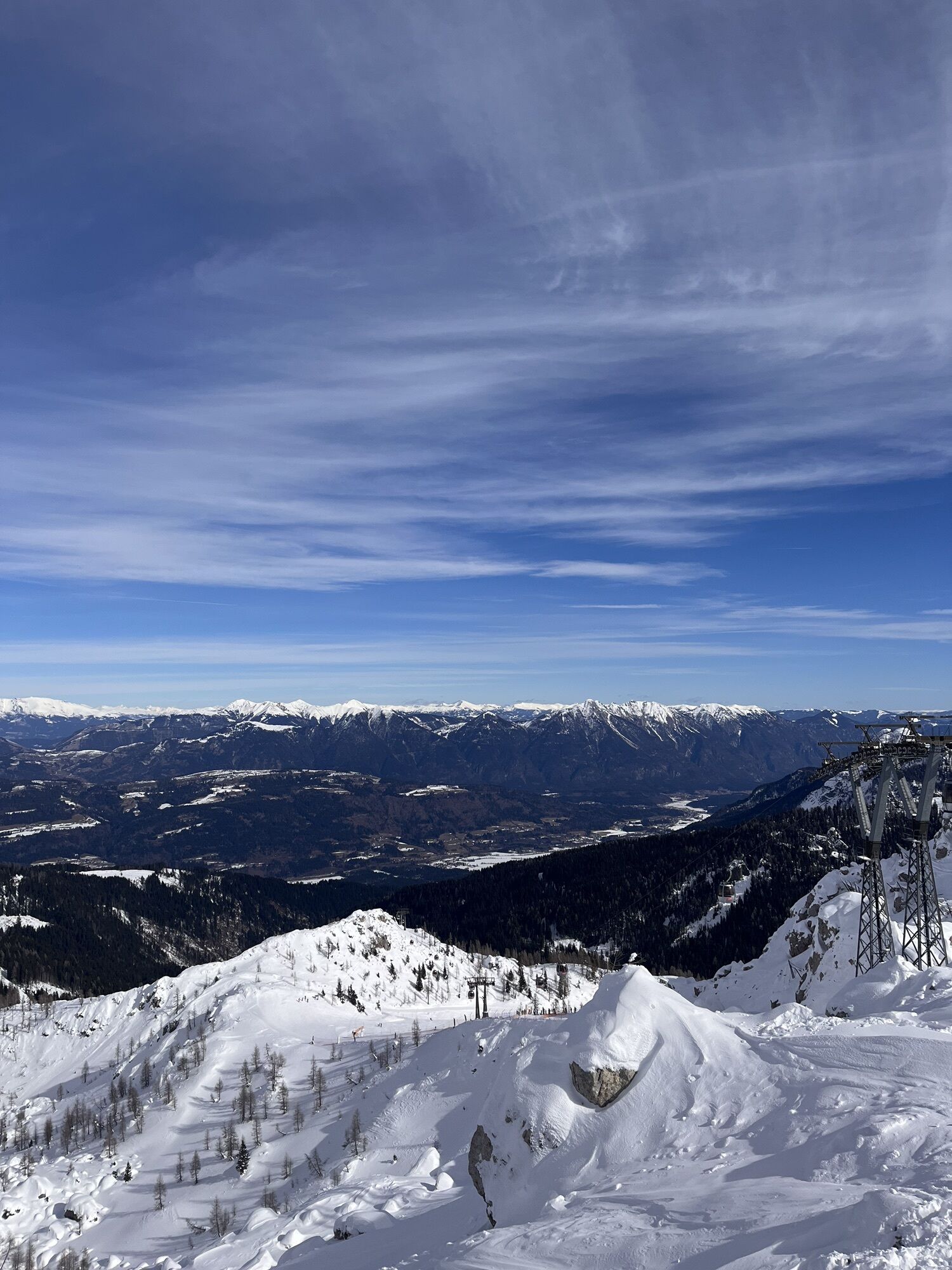
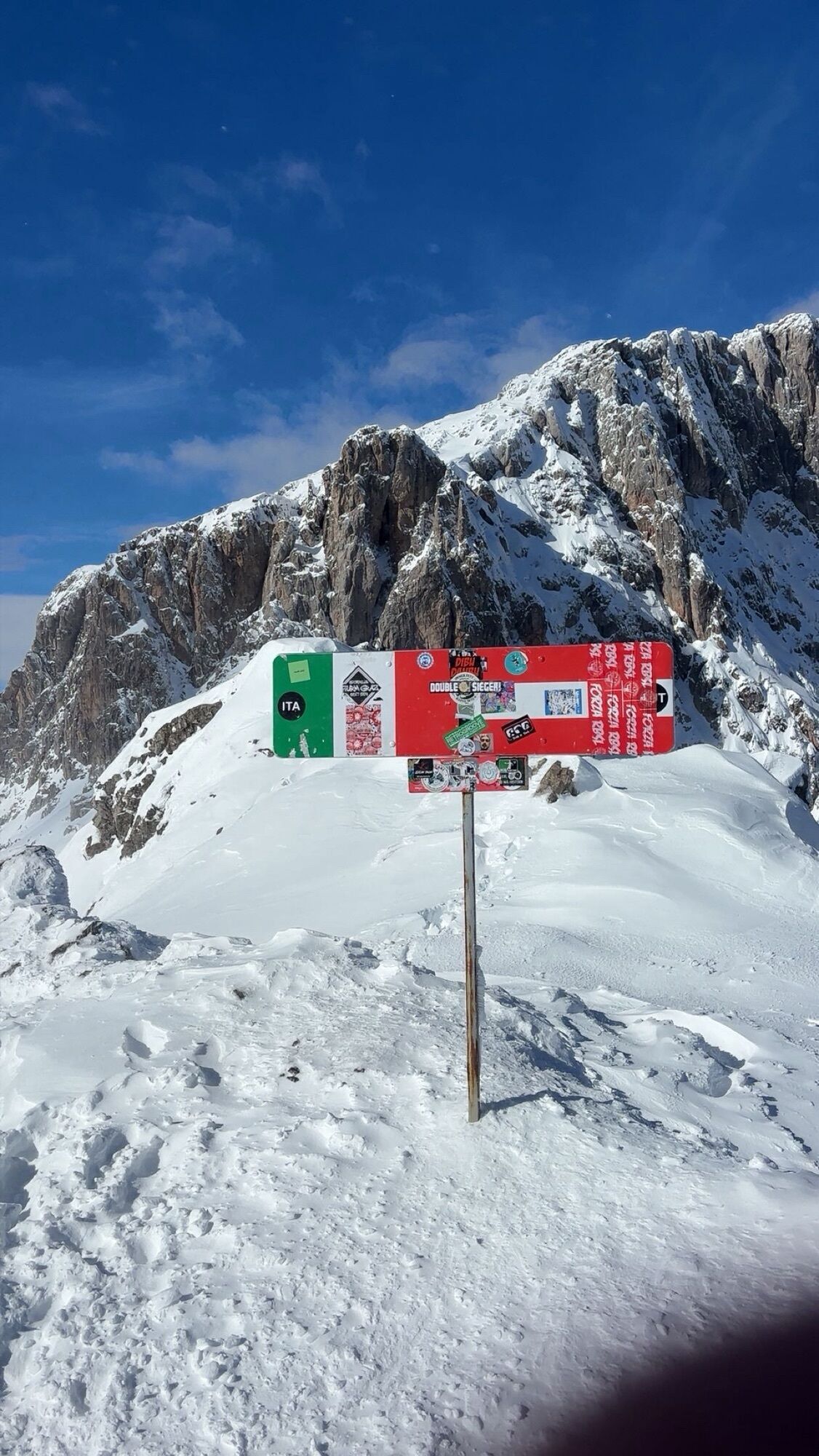
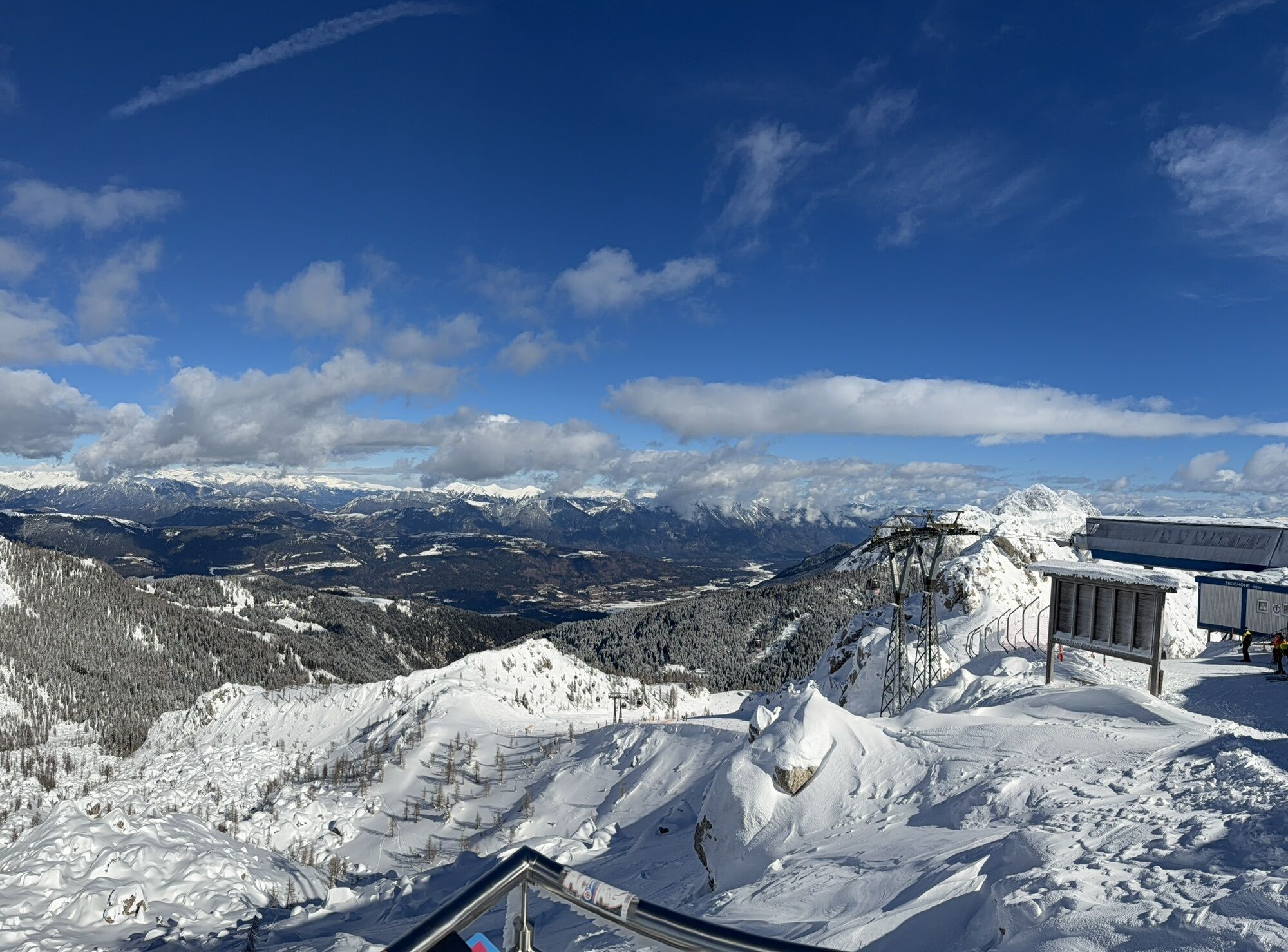
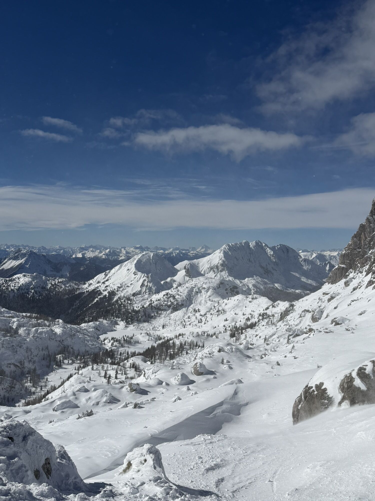
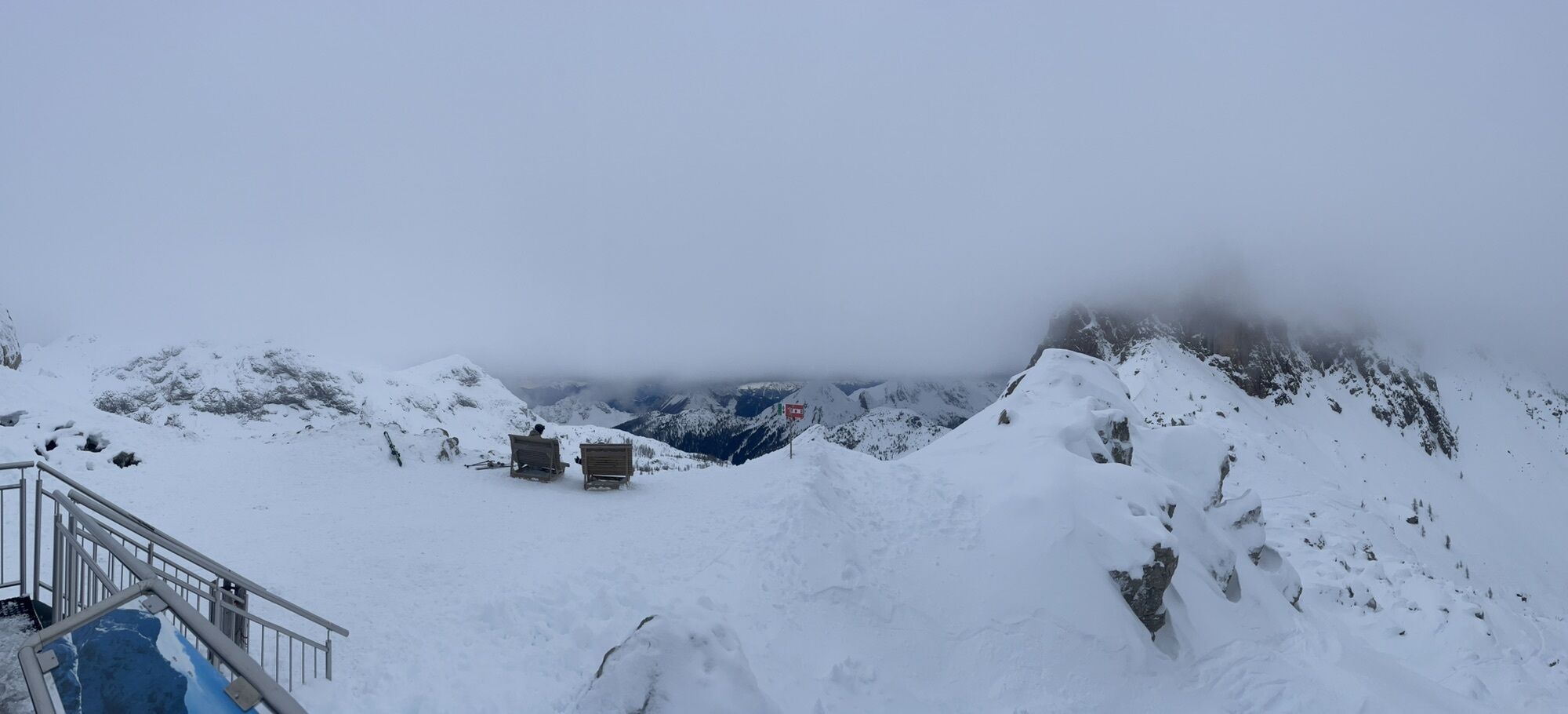
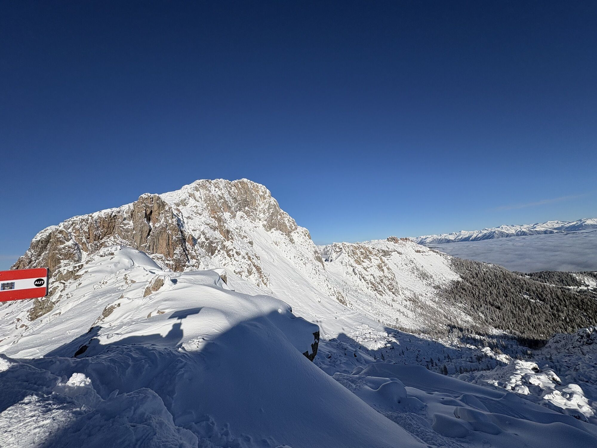

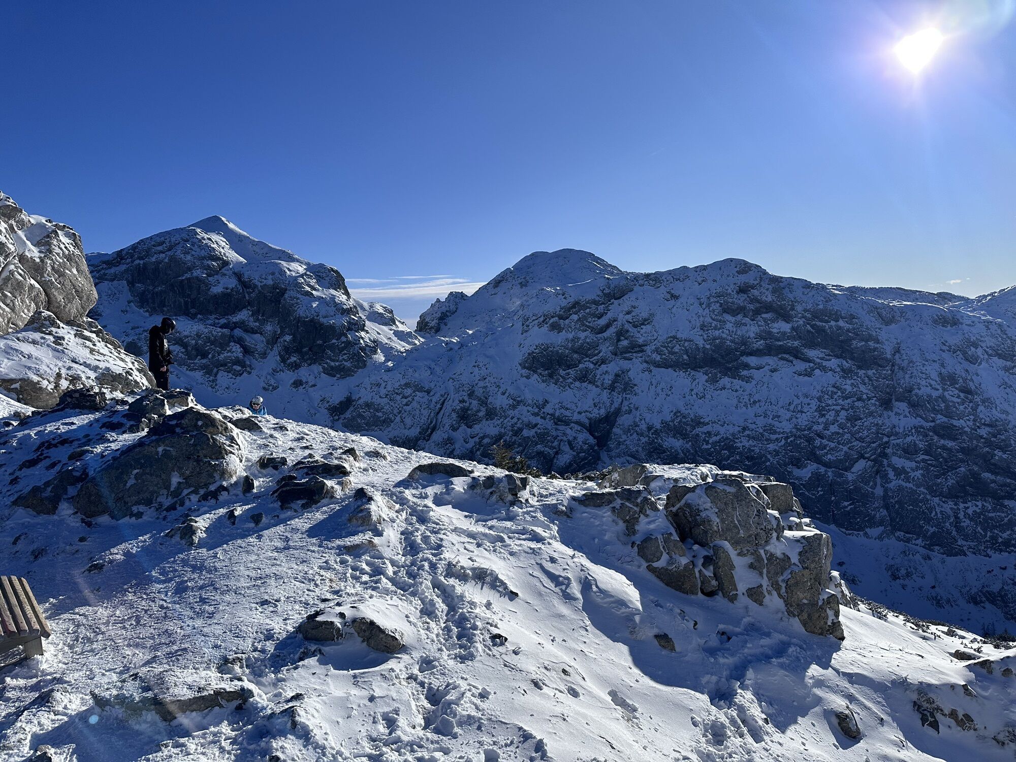
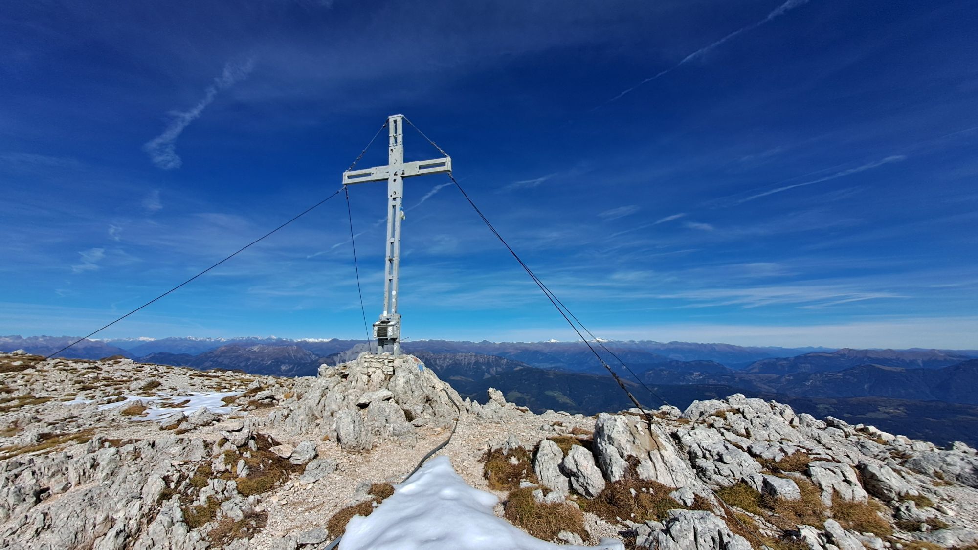
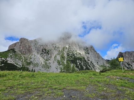
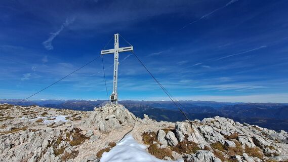
The spirited, moderate Crete Rosse climbing route was established in 1980 by the Italian Alpine Club and follows a ramp-like gully through which one reaches the summit plateau of the Trogkofel.

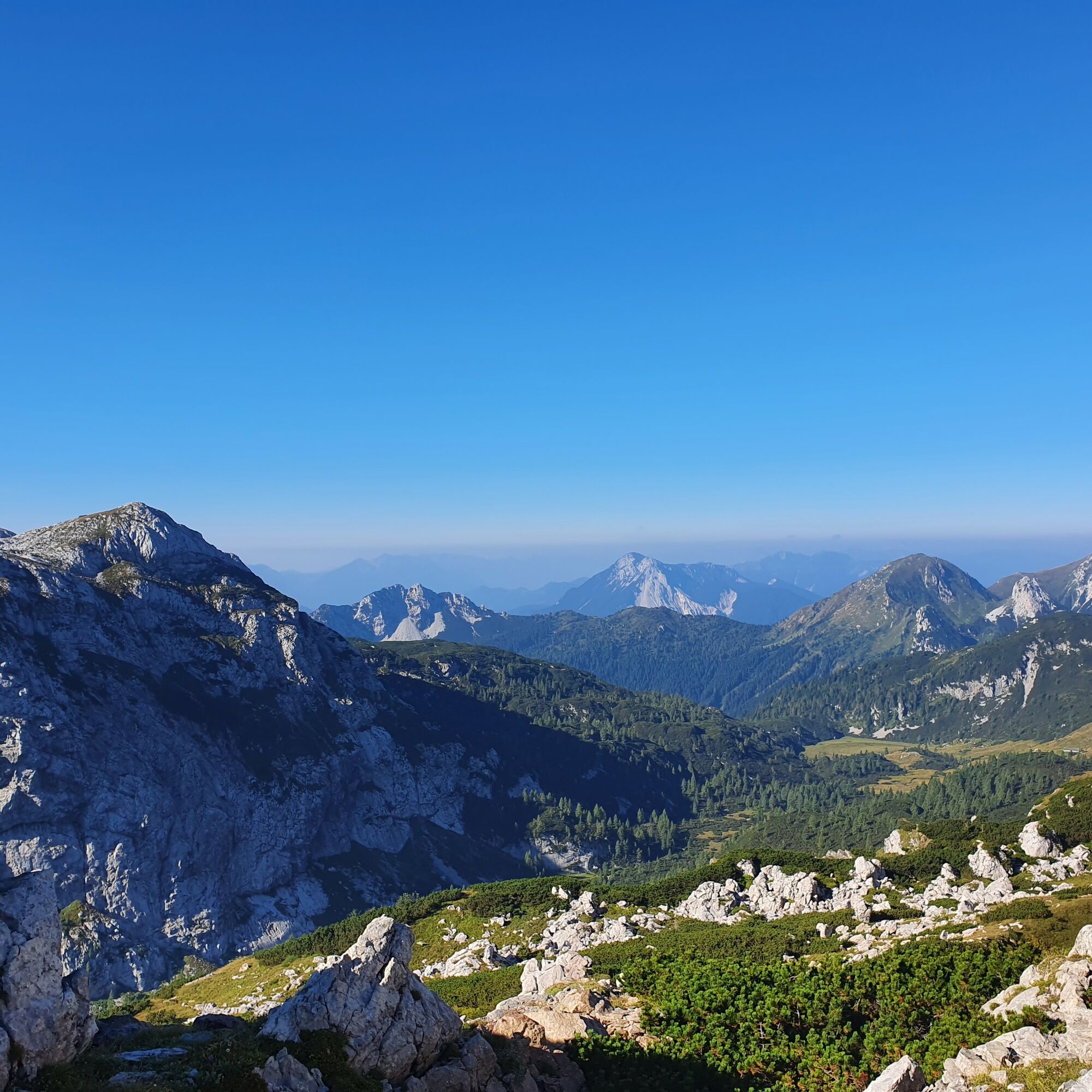

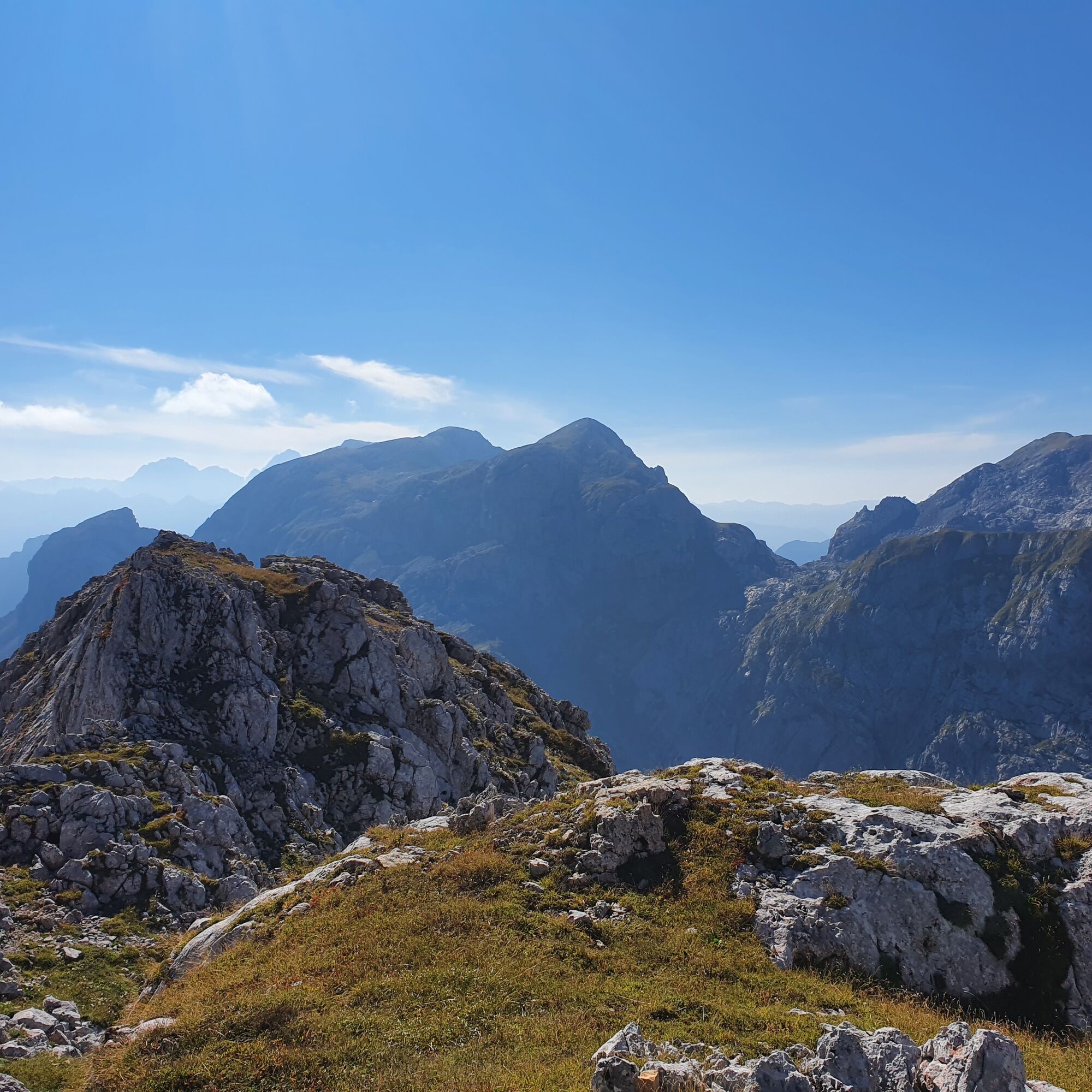
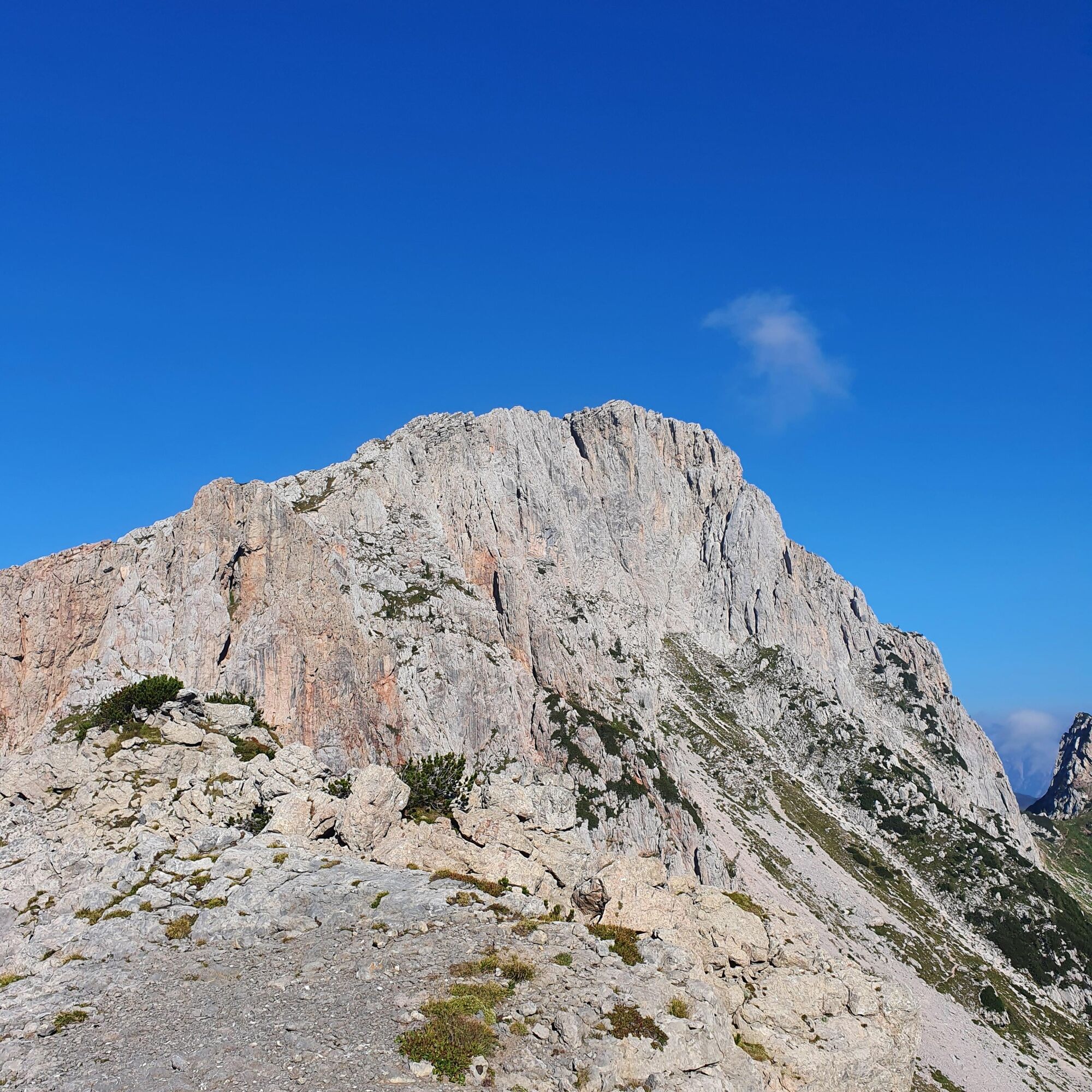

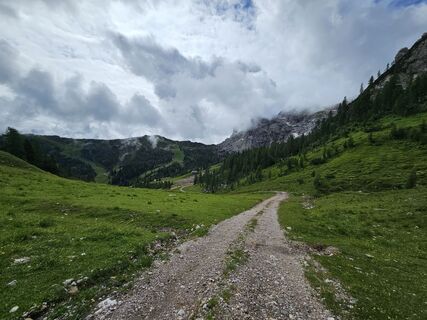
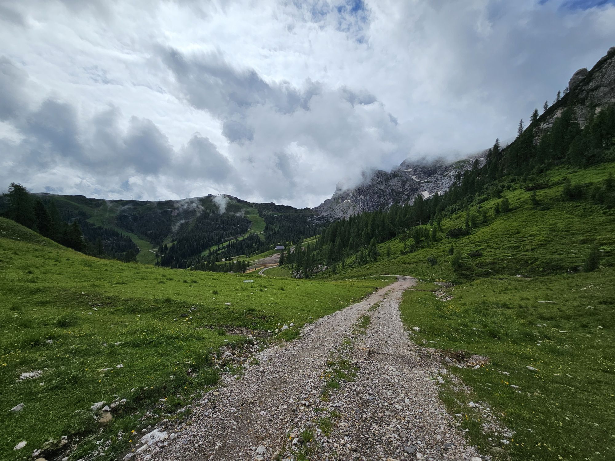
Drive from Tröpolach towards Rattendorf and at the western end of Tröpolach follow the Schlanitzen sign. From there, a gravel road leads up to Rudnigalm. From the parking lot, ascend on path 413 to the fork and then go left towards Troghöhe. Over a rocky mountain meadow, you reach the saddle, turn right, and follow the Carnic High Trail 403 for about 10 minutes. There is the start of the route below the Trogkofel south face. First, you climb in a gully and then upwards over the right bounding edge. Through a narrow gully equipped with rungs, you must reach a wedged block. You have to go under this and to a small ledge with the trail log. An exposed wall step leads to the end of the protections. Over a steep step, you get back to the hiking terrain with the exit sign. Over the Trogkofel plateau, you reach the summit in about 30 minutes.
Descent:
Best to descend via the partly secured Überlacher path and hike back to Rudnigalm.
Da
FAIR PLAY & RESPECT:
Mindfulness for nature – landowners – your health... and safety in the mountains have the highest priority during your route/your mountain sport experience and the associated route planning!
Therefore, inform yourself before every via ferrata experience about the rules of conduct - Safety in the Mountains - as well as the current weather conditions.
Waste disposal:
Waste is not always avoidable – but it has no place in nature and must be disposed of properly (preferably in the valley or at home).
Emergency numbers:
Europe-wide emergency number: 112 (access to every available network)
Mountain rescue Austria: 140
From Hermagor take B11 towards Kötschach. Then slightly turn right to Tröpolach and drive through the village. At the western end of the village, follow the Schlanitzen sign and drive up the gravel road to Rudnigalm.
Travel to Tröpolach is possible by public transport.
Information on timetables at: www.nassfeld.at/mobilitaet
Parking available in front of the Rudnigalm hut.
B/C
Are you looking for via ferrata tips in the region as well as a state-certified mountain guide for a guided via ferrata tour?
You can find this and many more infos under - Route tips and provider info
The difficulty rating refers only to the climbing route, without considering the ascent and descent.
 Pridobite vpogled Vedno v živo na mestu z več kot 9.500 spletnimi kamerami. bergfex Kot uporabnik Pro si lahko zdaj ogledate ustrezne spletne kamere za številne izlete v aplikaciji izleti iz. Tako si lahko neposredno ogledate trenutne razmere.
Priljubljeni izleti v okolici
- 4,8
RW_N9 Weißenbachklamm
srednjaPohodništvo 7,49 km - 4,9
Weißenbachklamm
težkoPohodništvo 5,80 km - 4,1
Malurch Nassfeld
srednjaPohodništvo 9,60 km - 5,0
ST_N7 Gartnerkofel (2,195 m)
Smučarska tura 3,94 km - 3,0
Hermagor: Gartnerkofel
Pohodništvo 7,70 km - 4,4
KL_N2 Däumling
srednjaVia ferrata 1,78 km - 4,7
ST_N9 Madritschen (1,918 m)
Smučarska tura 2,71 km - 5,0
Möselalm - Weißbriach/Gitschtal
svetlobaPohodništvo 5,12 km - 5,0
Nassfeld Grenze - Gartnerkofel
svetlobaPohodništvo 8,41 km - 4,8
RW_N22 Garnitzen Gorge Geotrail
srednjaTematska pot 6,73 km
Pohodništvo in sledenje


Ne zamudite ponudb in navdiha za naslednje počitnice
Vaš e-poštni naslov je bil dodan na poštni seznam.





