







Ankogel cable car - Grüneckerseespitze
Stopnja težavnosti: 4
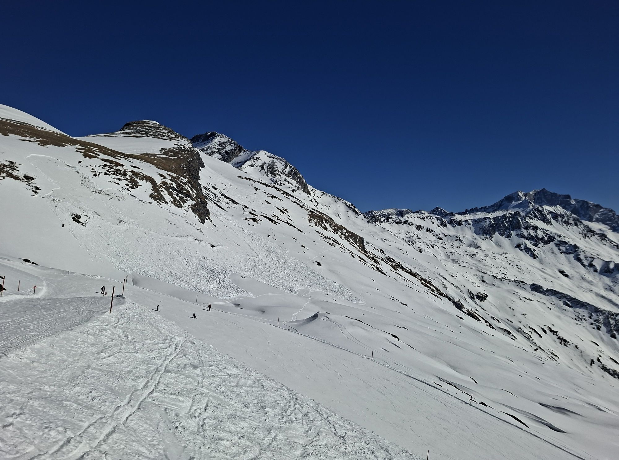
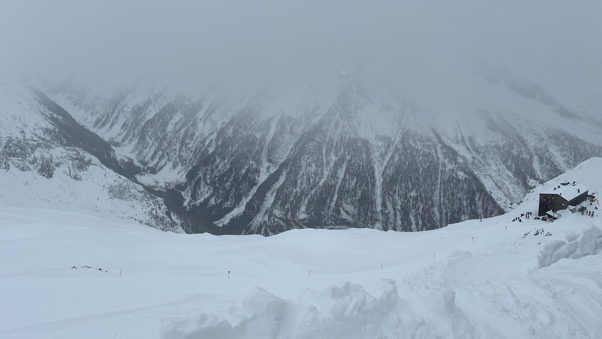
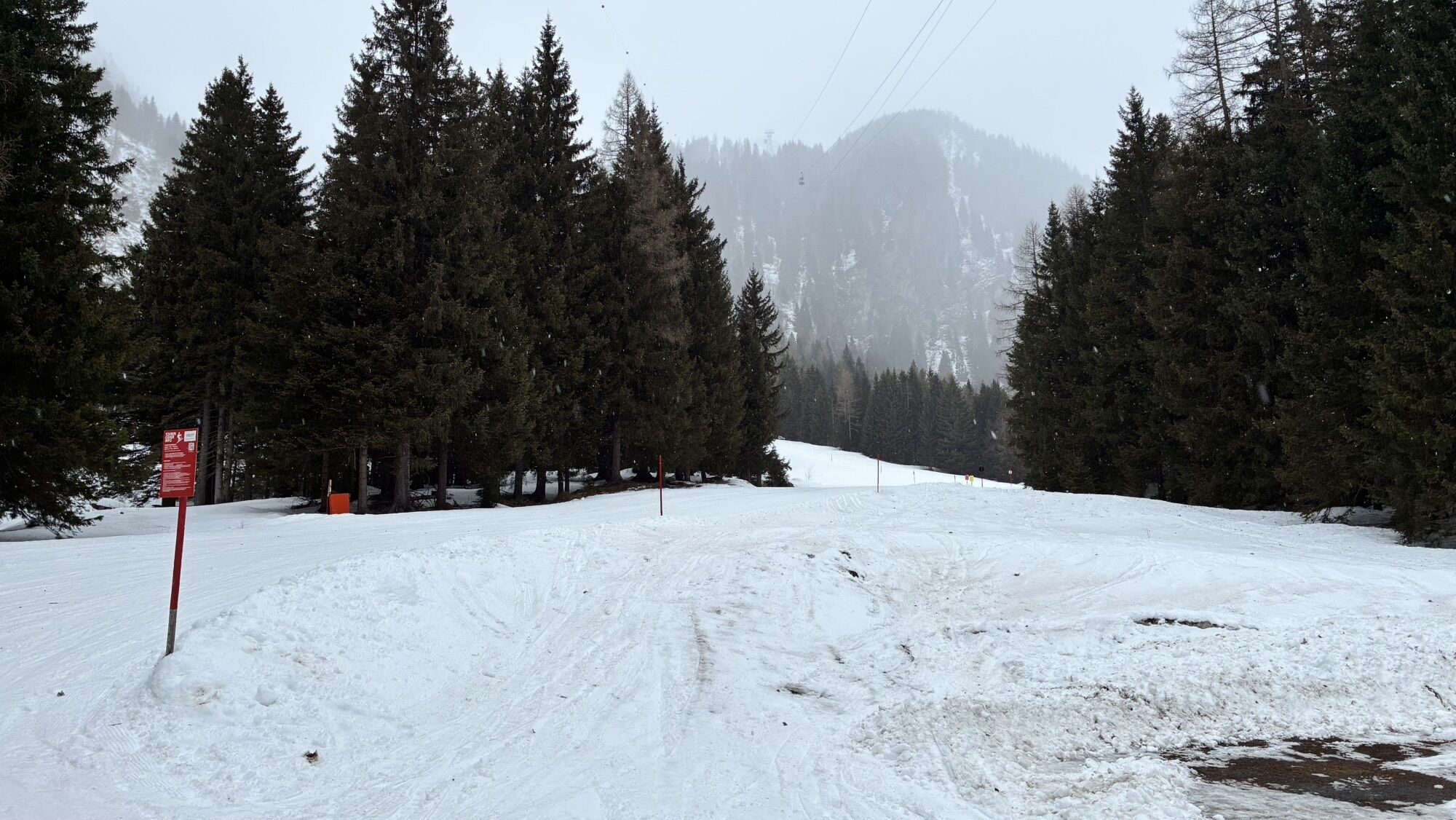
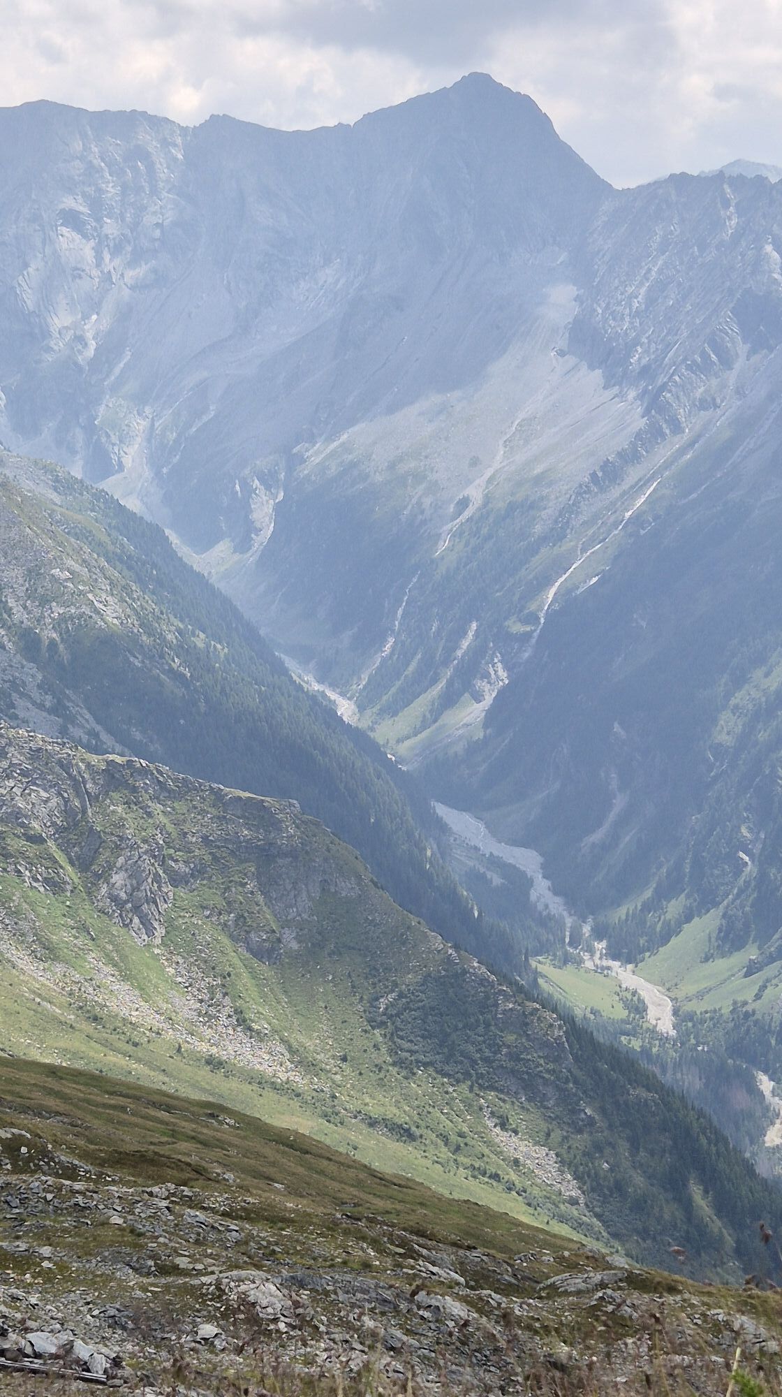
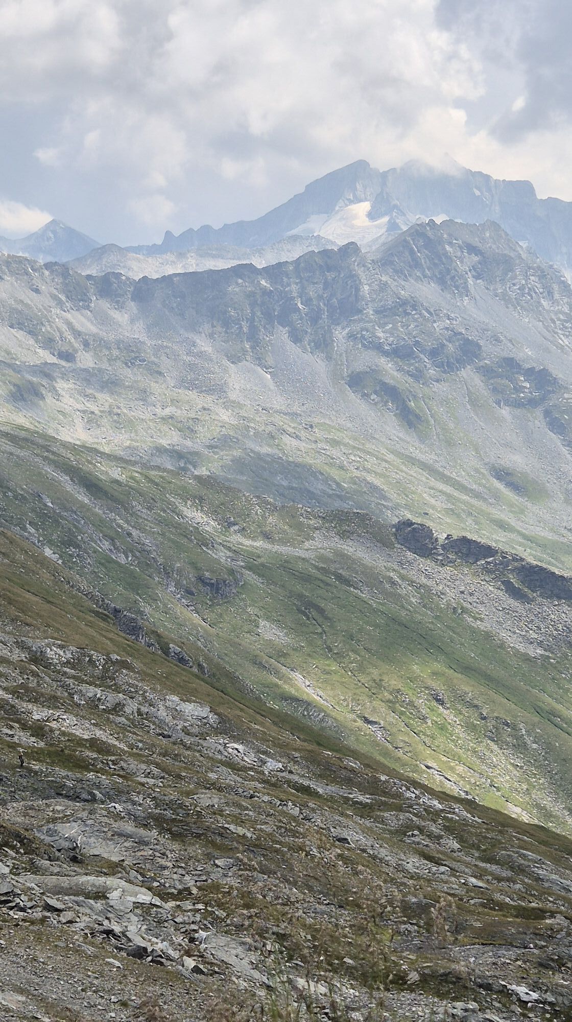
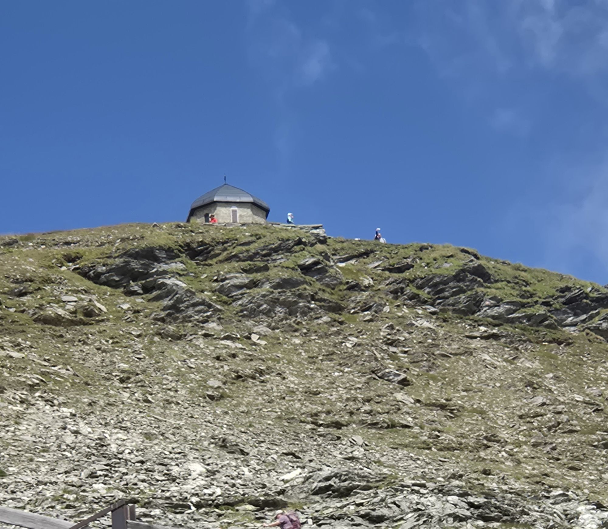
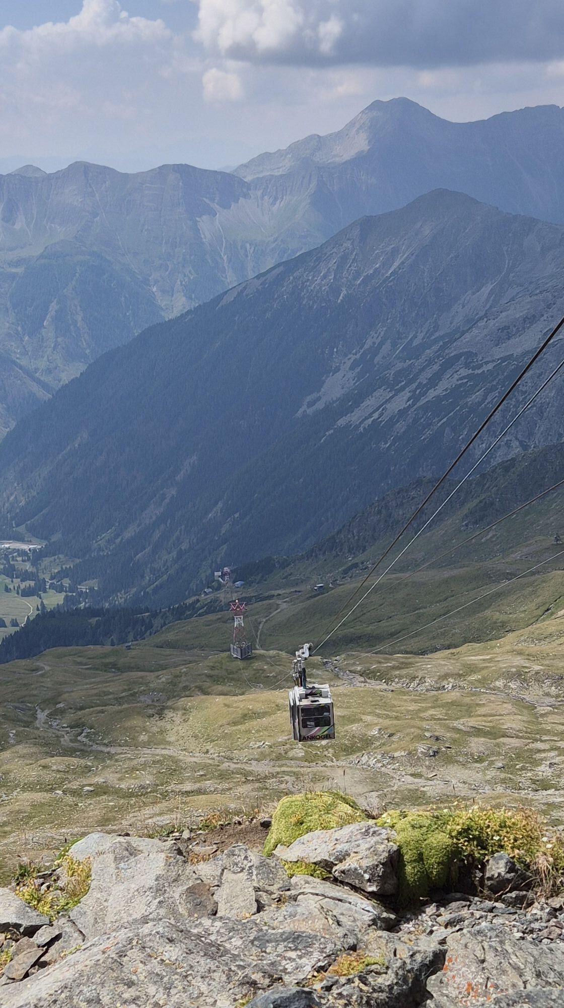
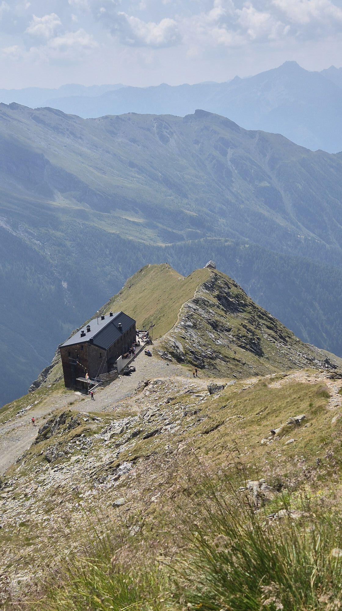
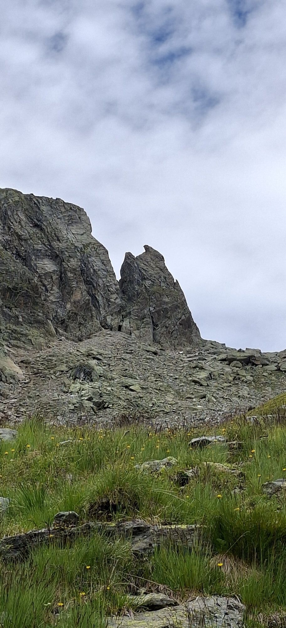
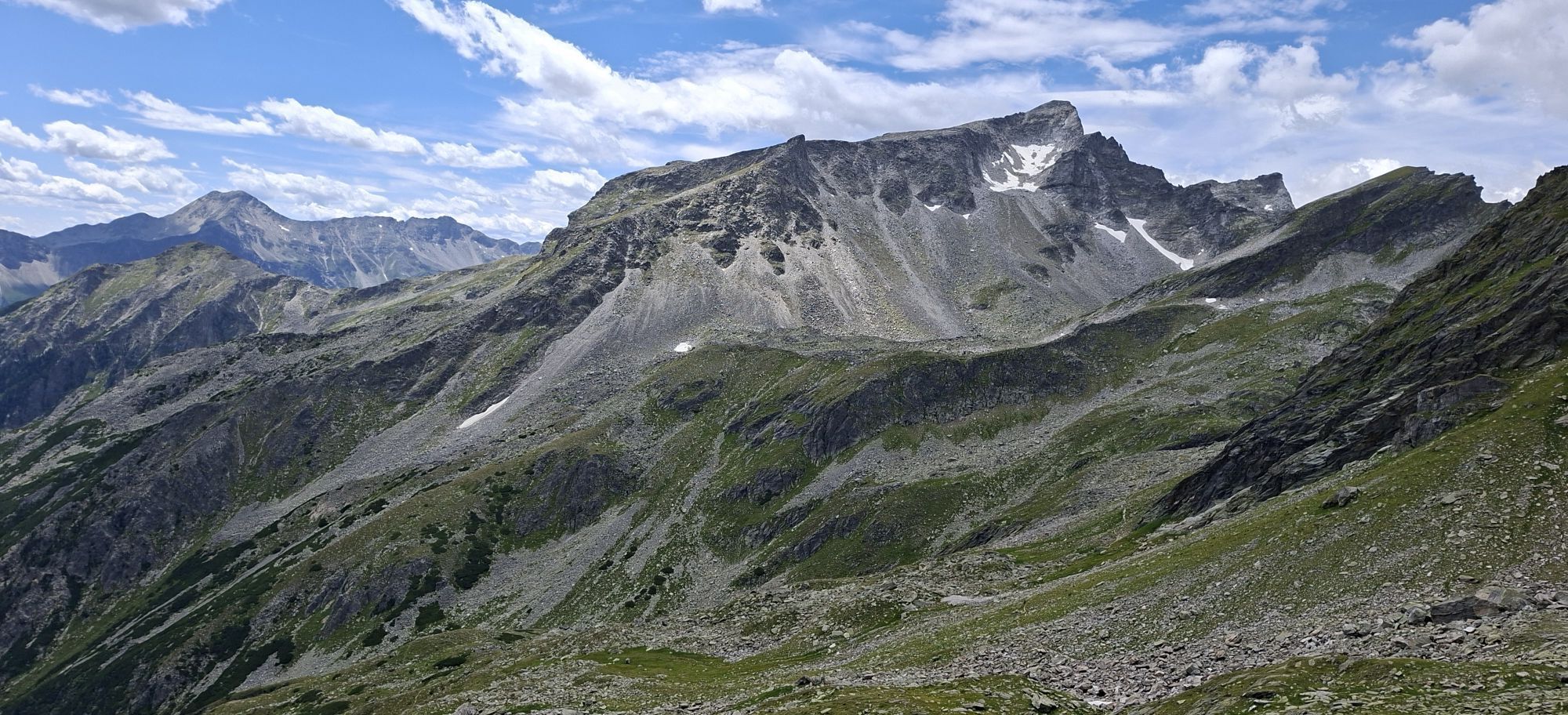
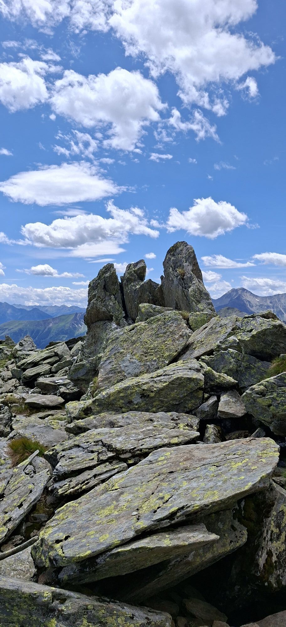
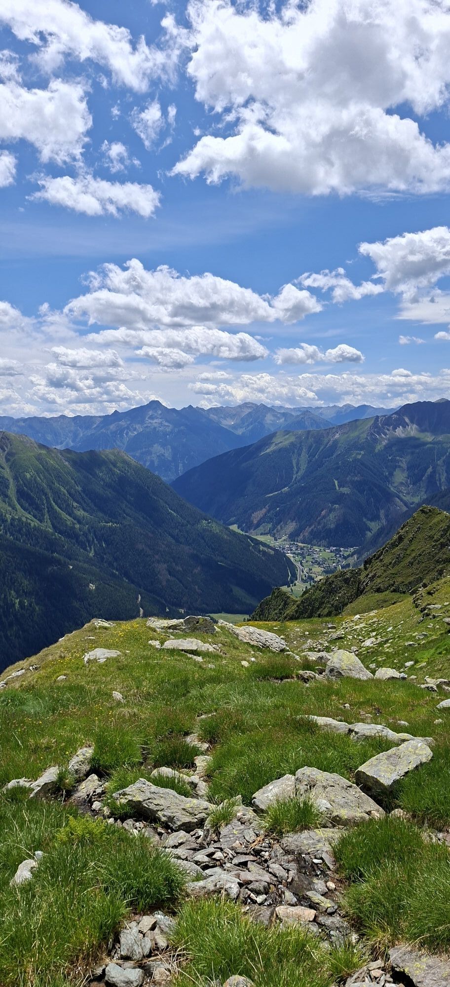
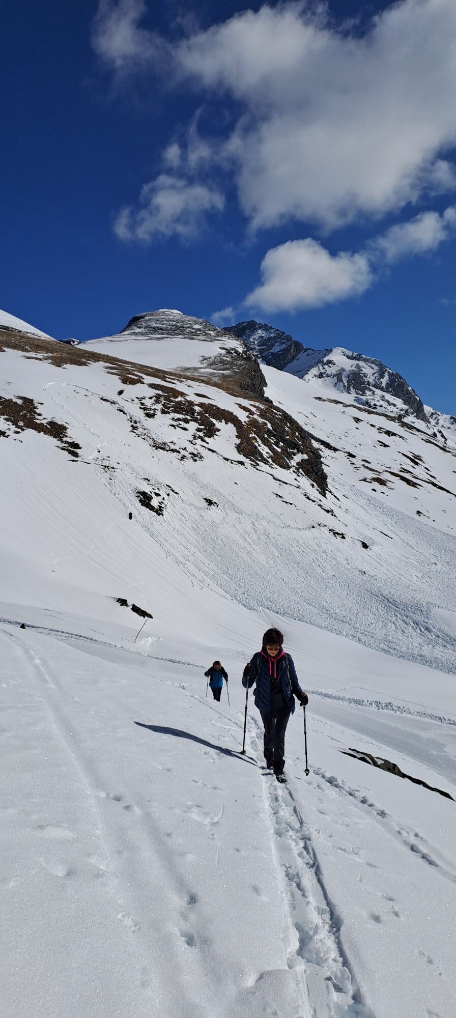
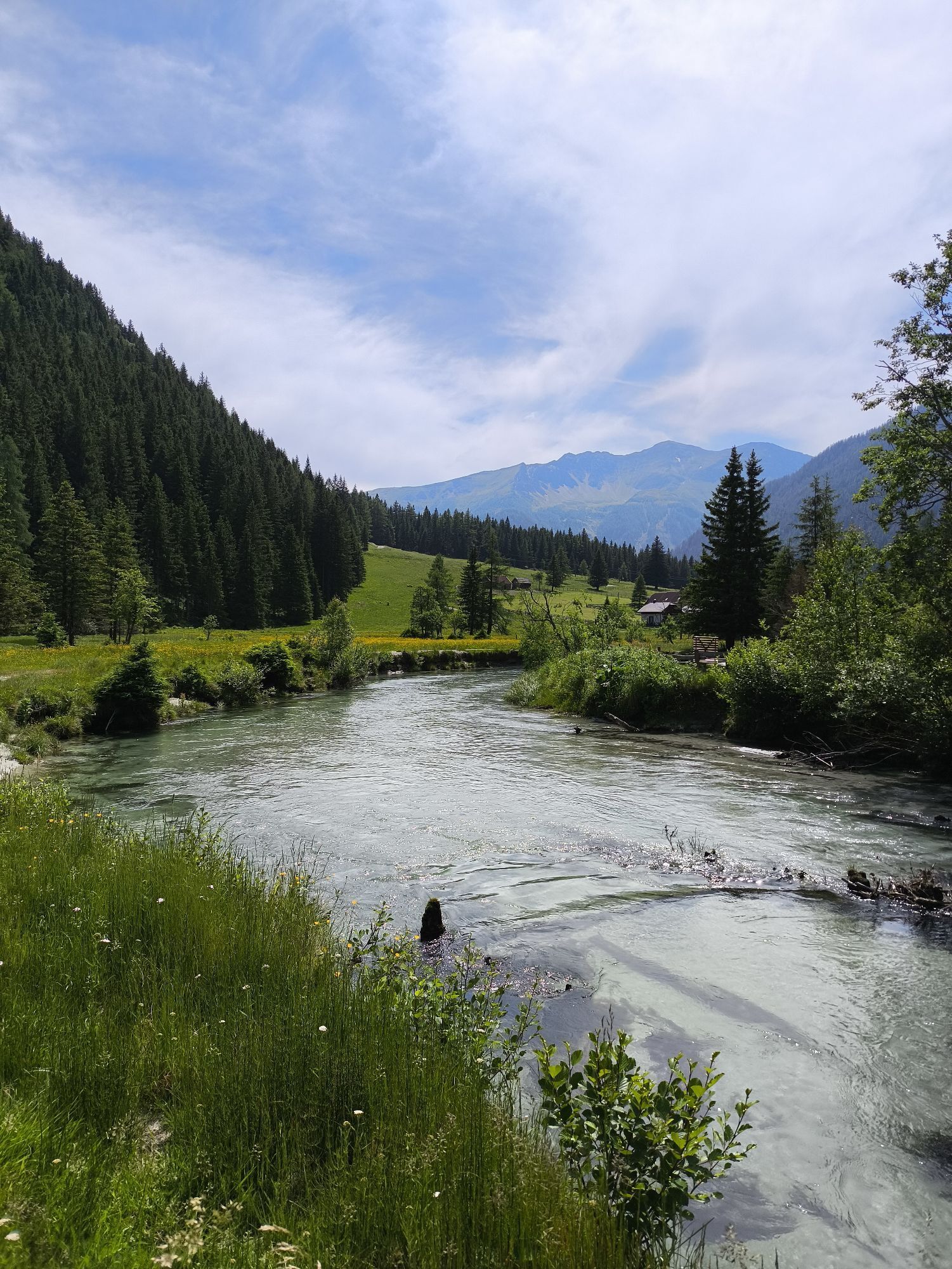
The route starts in the ski area and initially follows the popular descent over the Luggetörl. However, in the summit area of the Grüneckerseespitze it is a lonely, alpine undertaking in magnificent surroundings....
The route starts in the ski area and initially follows the popular descent over the Luggetörl. However, in the summit area of the Grüneckerseespitze it is a lonely, alpine undertaking in magnificent surroundings. Currently (still?) a real insider tip!
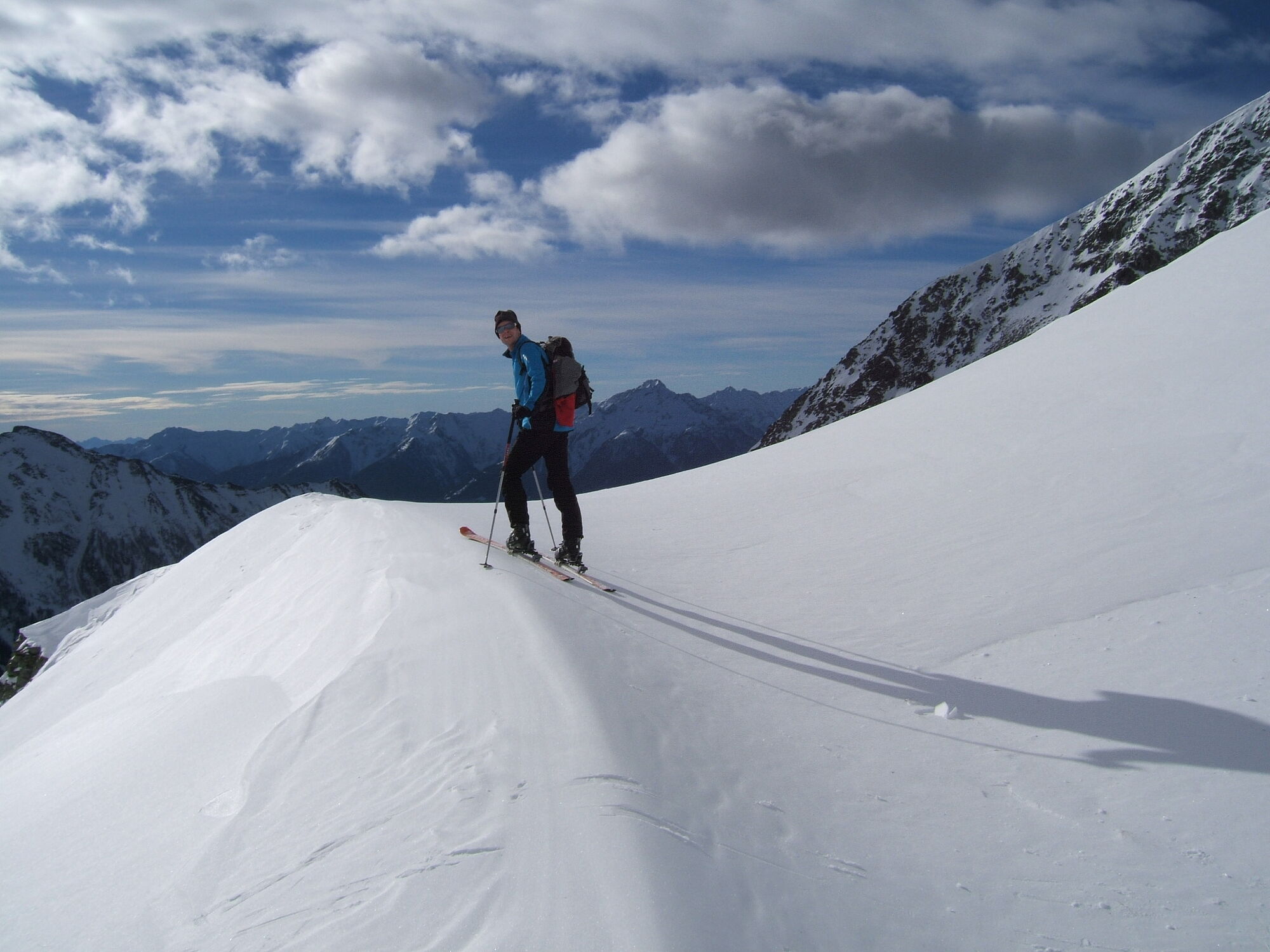
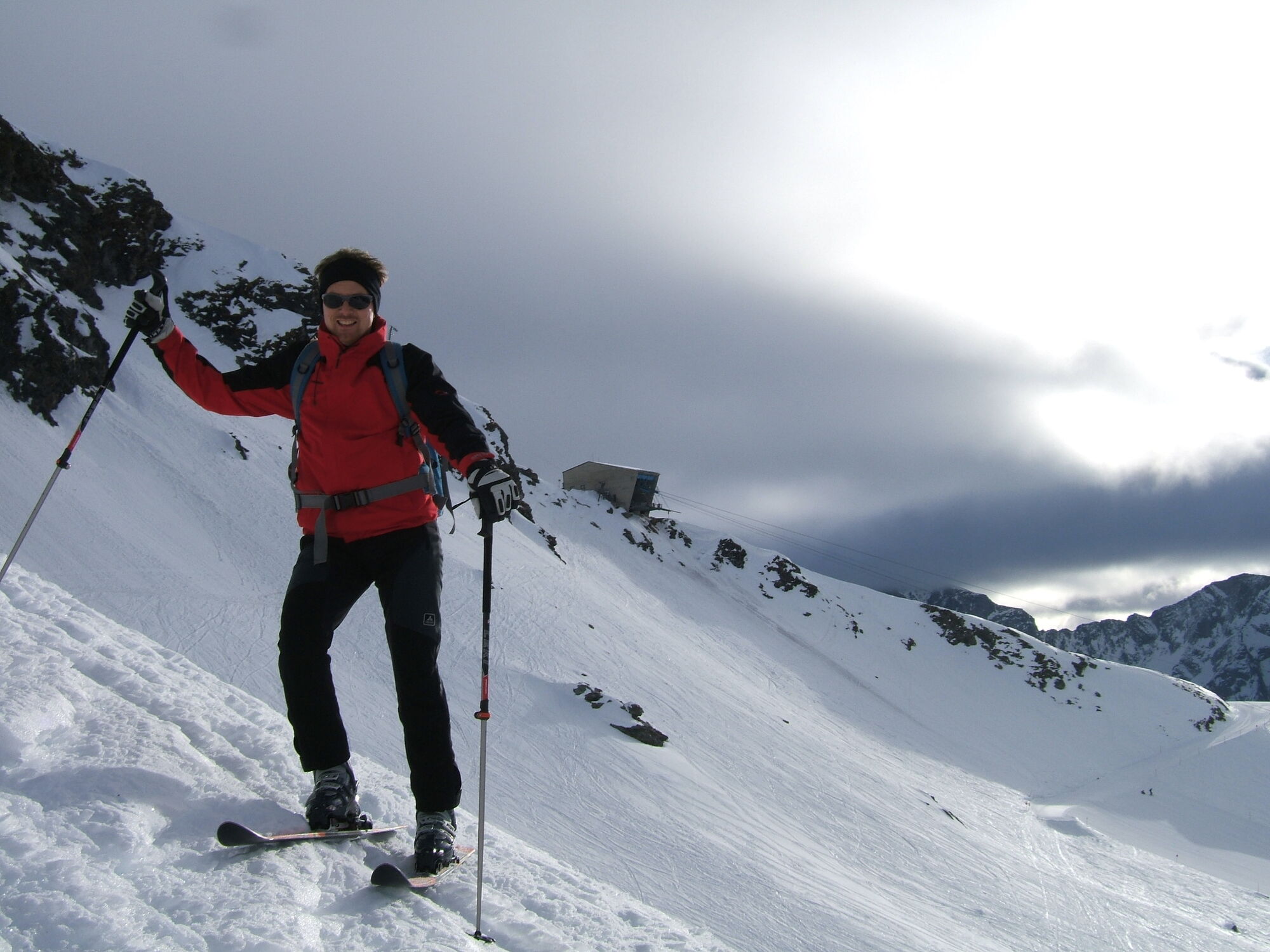
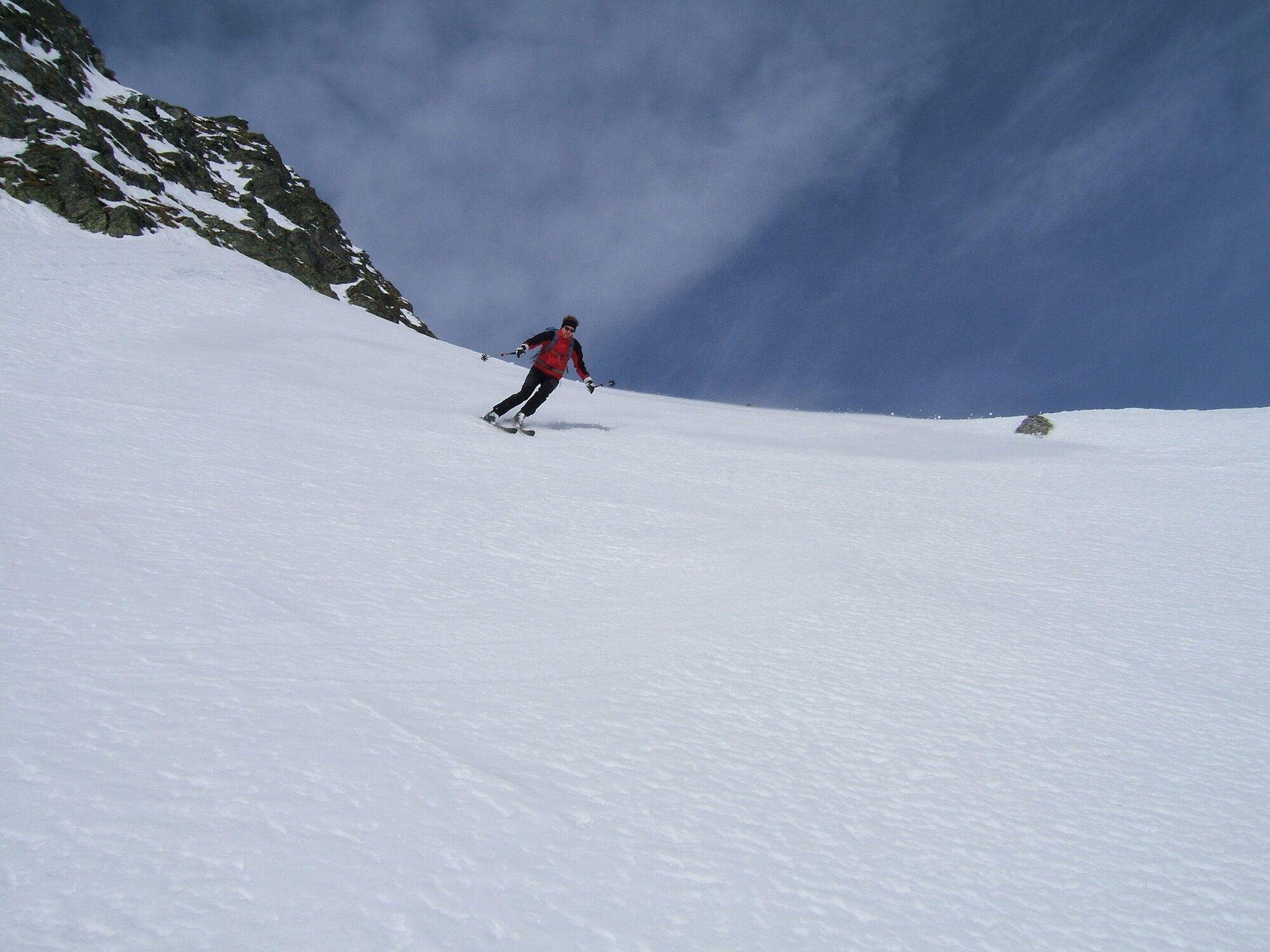
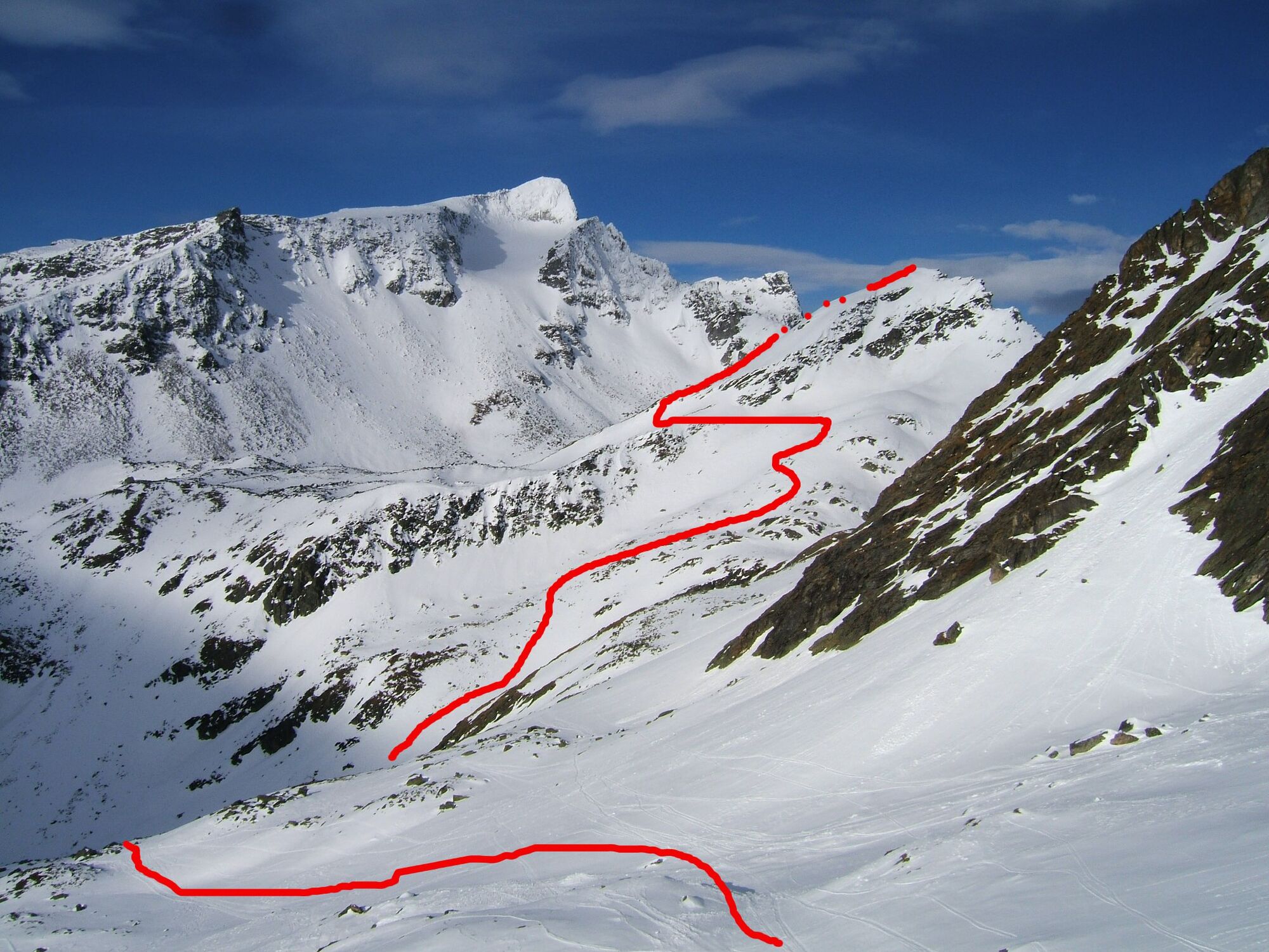

At the mountain station of the Ankogel cable car above around the cable car station and in a long traverse along the slope, above the drag lifts, up to the Luggetörl, which is reached by a short ascent. On the other side, initially steep downhill into the cirque of the "Lugge". Here there are several options: Those who want to reach the Grüneckerseespitze with as little altitude loss as possible first traverse slightly ascending below the summit structure of the Schönbretterspitze and finally descend about 100 meters in altitude into the gully descending from the Kleiner Tauernsee.
However, we recommend skiing down from the Luggetörl to about 2100 meters - the slightly longer ascent is richly rewarded with a beautiful descent!
Now it is definitely time to put on skins! First, somewhat to the left of the mentioned gully upwards towards Korntauern. Above the Kleiner Tauernsee (approximately where the Tauern high route runs in summer) in an almost horizontal left traverse out onto the ridge descending from the Grüneckerseespitze. On or to the left of this ridge in several switchbacks to the summit.
The descent is possible with good conditions in steep terrain just to the left (in the direction of descent) of this ridge, the wide cirque of the "Vordere Lugge" offers numerous beautiful descent options until the Ankogel valley descent is finally reached!
Da
Standard ski touring equipment with shovel, probe, and avalanche transceiver.
Depending on the variant, a moderately steep to steep route, requiring safe conditions. Due to the location directly on the main Tauern ridge, special attention must be paid to wind-drifted snow!
With firn conditions, which often occur quite early here, a wonderful alternative to the better-known north-facing steep descents (Radeckscharte, Ebeneckscharte).
On the B106 (Mölltal federal road) towards Obervellach, from there via the B105 to Mallnitz, through the village to the parking lot at the valley station of the Ankogel cable car.
Thanks to its IC train station, Mallnitz is perfectly accessible without a car; trains run every 2 hours from Salzburg and from Villach. A free ski bus runs from the station to the Ankogel cable car!
At the valley station of the Ankogel cable car.
4
Respect your limits -
5 rules for responsible snowshoeing or ski touring:
Pridobite vpogled Vedno v živo na mestu z več kot 9.500 spletnimi kamerami. bergfex Kot uporabnik Pro si lahko zdaj ogledate ustrezne spletne kamere za številne izlete v aplikaciji izleti iz. Tako si lahko neposredno ogledate trenutne razmere. Priljubljeni izleti v okolici
- 4.5
Gasteiner Höhenweg von Bad Gastein nach Bad Hofgastein
svetlobaPohodništvo 8.58 km - 4.5
Groppenstein Gorge Obervellach
srednjaPohodništvo 2.99 km - 5.0
Silberpfennig, Salzburger Land/Österreich
srednjaPohodništvo 13.8 km - 4.5
Mountain route from the Kötschachtal to the natural jewel Reedsee
srednjaPohodništvo 12.5 km - 4.9
Wanderung zur Schwussner Hütte
svetlobaPohodništvo 8.07 km - 4.4
"Elendrunde" Kleinelend Valley - Zwischenelendscharte - Großelend Valley
srednjaPohodništvo 21.9 km - 4.8
Hohe Sonnblick Up
težkoPohodništvo 9.14 km - 4.7
Kölnbreinspeicher bis Osnabrücker Hütte
svetlobaPohodništvo 15.9 km - 5.0
Ankogelgruppe - Säuleck 3.086m - Detmolder Weg mit zu viel Schnee
težkoVisokogorska tura 23 km - 4.7
Hüttenkogel - Graukogel von der Bergstation
srednjaGorski pohodništvo 4.68 km
Pohodništvo in sledenje


Ne zamudite ponudb in navdiha za naslednje počitnice
Vaš e-poštni naslov je bil dodan na poštni seznam.





