


The Milky Way on the Karnischer Höhenweg - ET01 Plöckenhaus - Zollnersee Hut
Stopnja težavnosti: T3
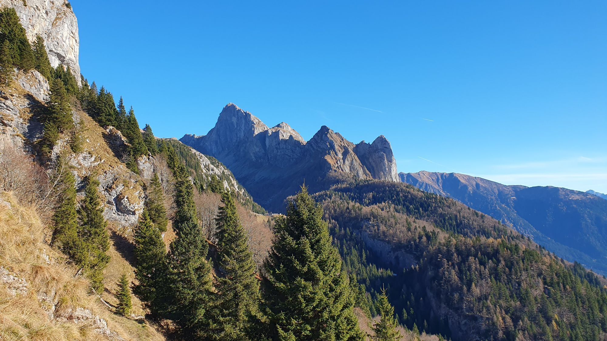
Nature Clash: The first stage takes you straight into the heart of the Carnic Alps. Namely on a variant of the classic KHW 403 to bypass a difficult ("black") section of the original route. For this, you...
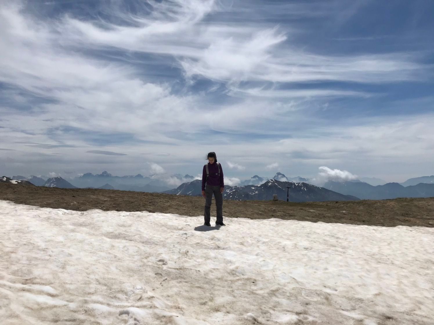
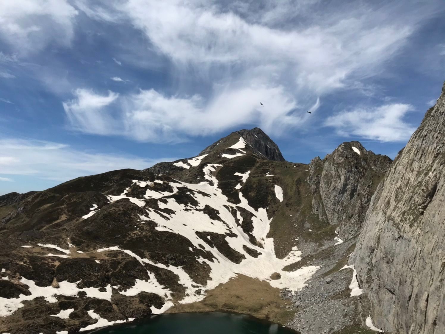
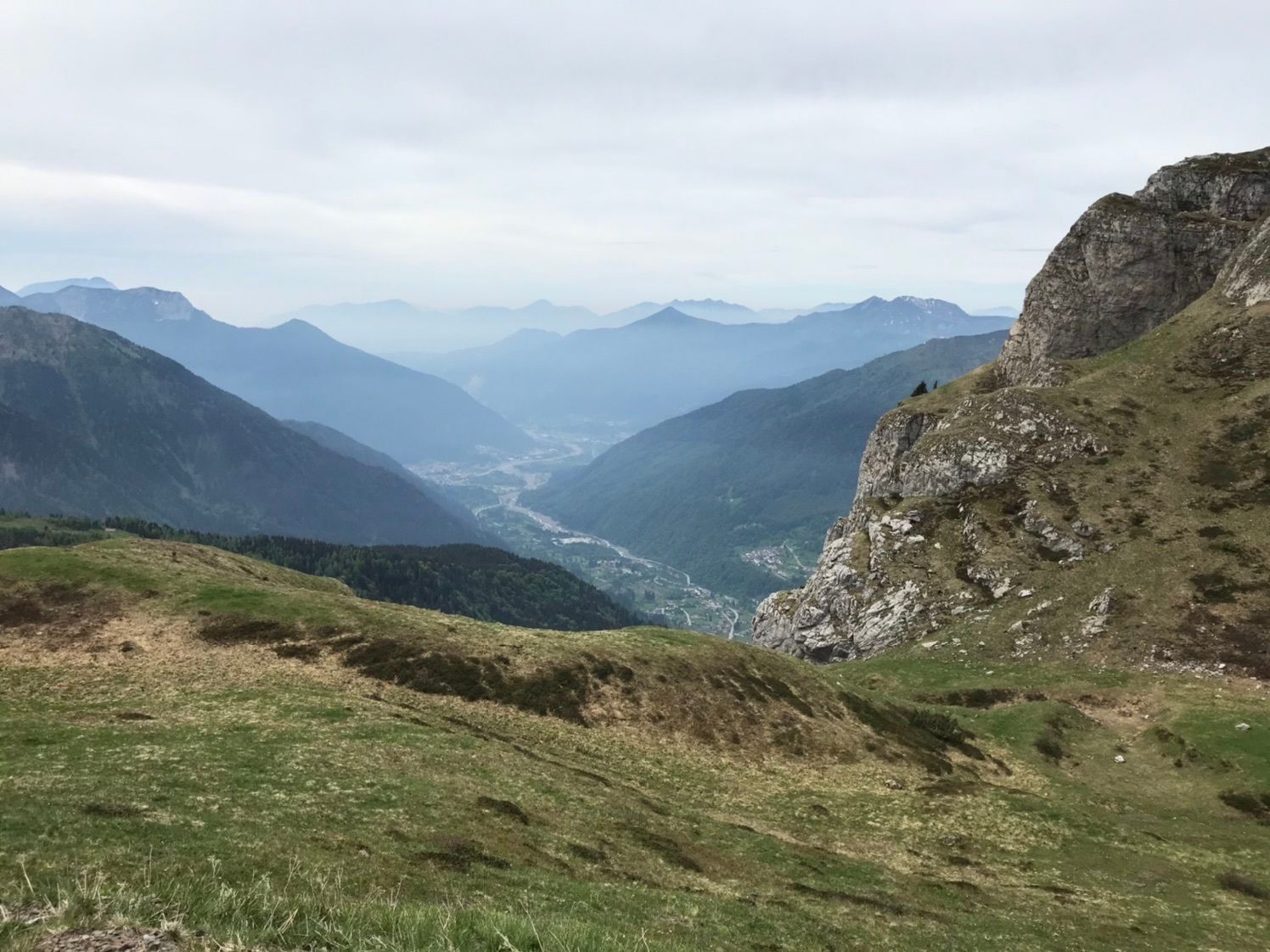
Nature Clash: The first stage takes you straight into the heart of the Carnic Alps. Namely on a variant of the classic KHW 403 to bypass a difficult ("black") section of the original route. For this, you get the full package of the Carnic Alps on this long stage: sometimes on this side of the ridge on the Austrian side, then again across the border over lonely and idyllic Friulian alpine pastures, you cross cols and passes, wind around rugged peaks, and end up on a sort of plateau where the dreamily located Zollnersee Hut is: the first stage and you are already far away from the valley and civilization.

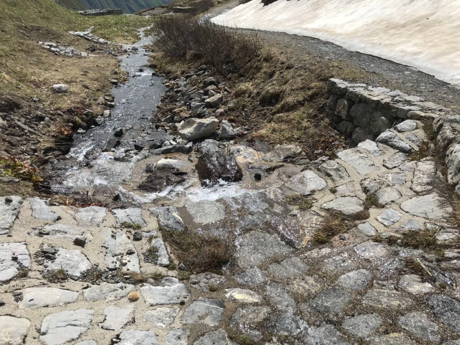
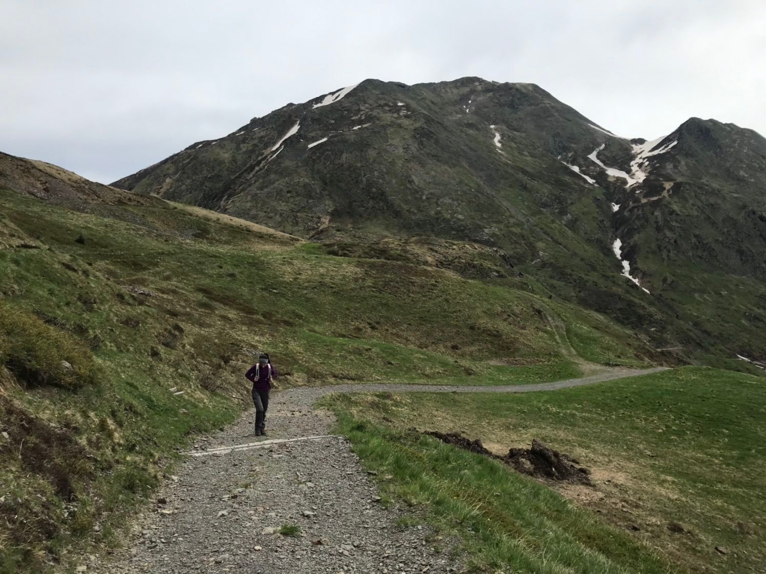
Directly opposite the Plöckenhaus, which is currently not managed, begins the easy ascent on the forest road or the KHW 403, through the Angerbachtal, up to the nearby Grünsee.
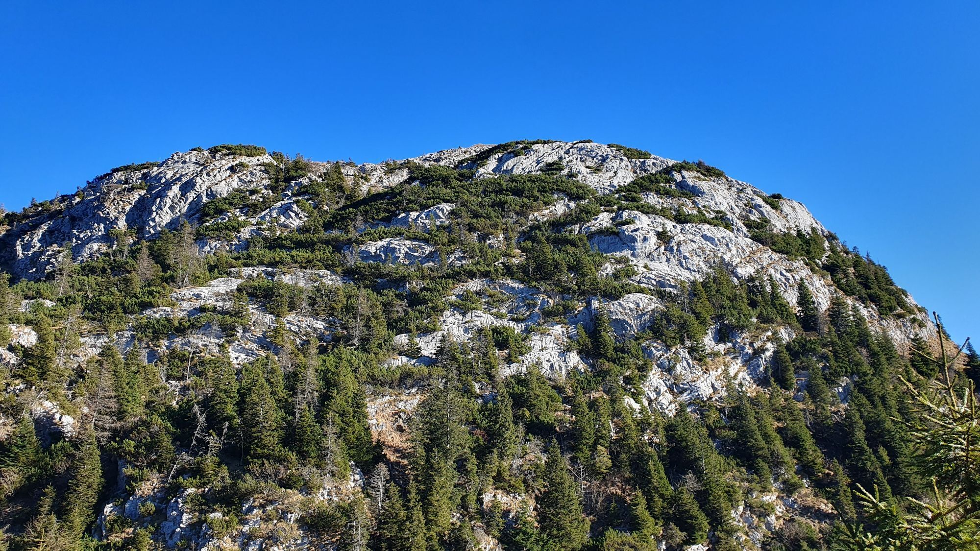
Here the paths split - you leave the KHW 403 and hike right up the forest road to below the Freikofel saddle. At the end of the forest road, a hiking trail leads steeply upwards to the right to the Freikofel saddle.
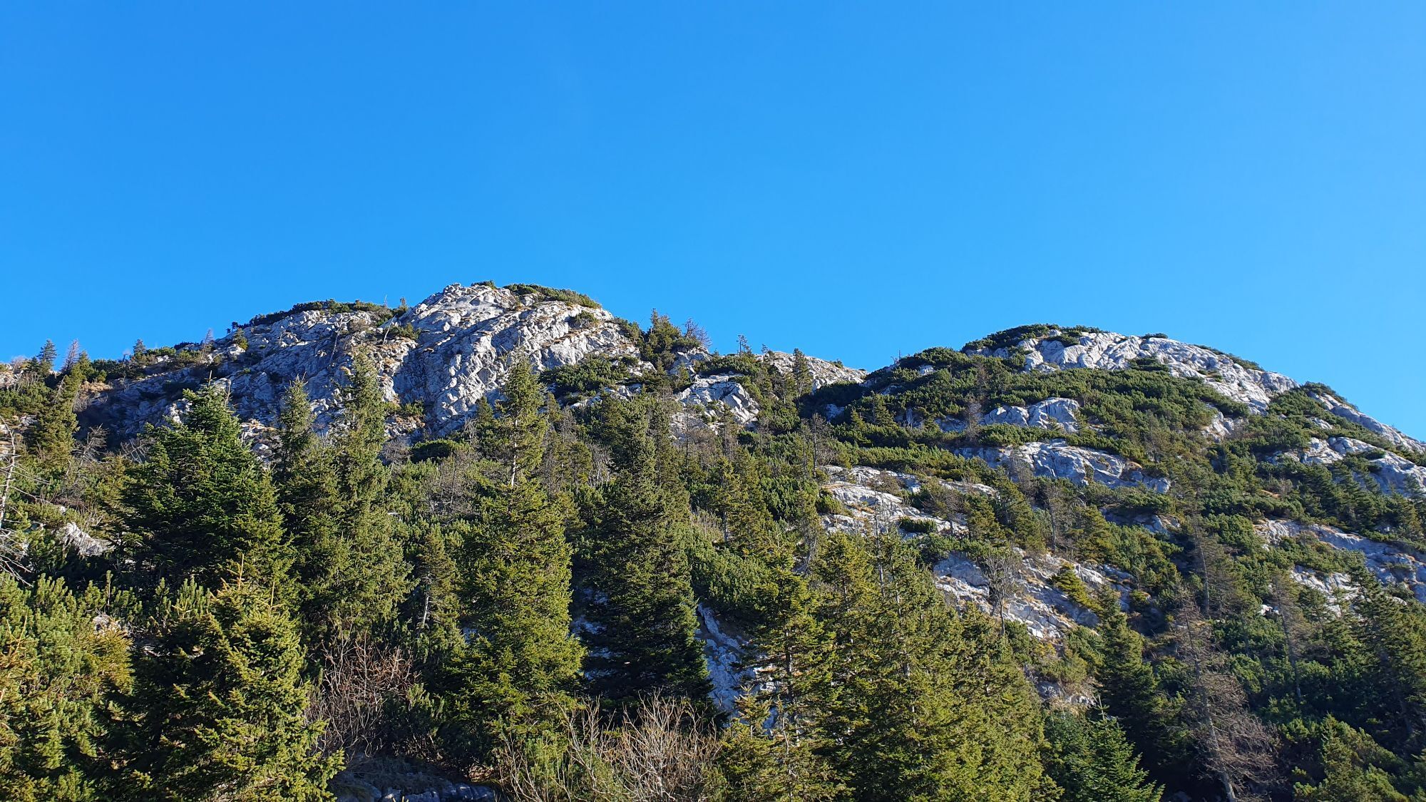
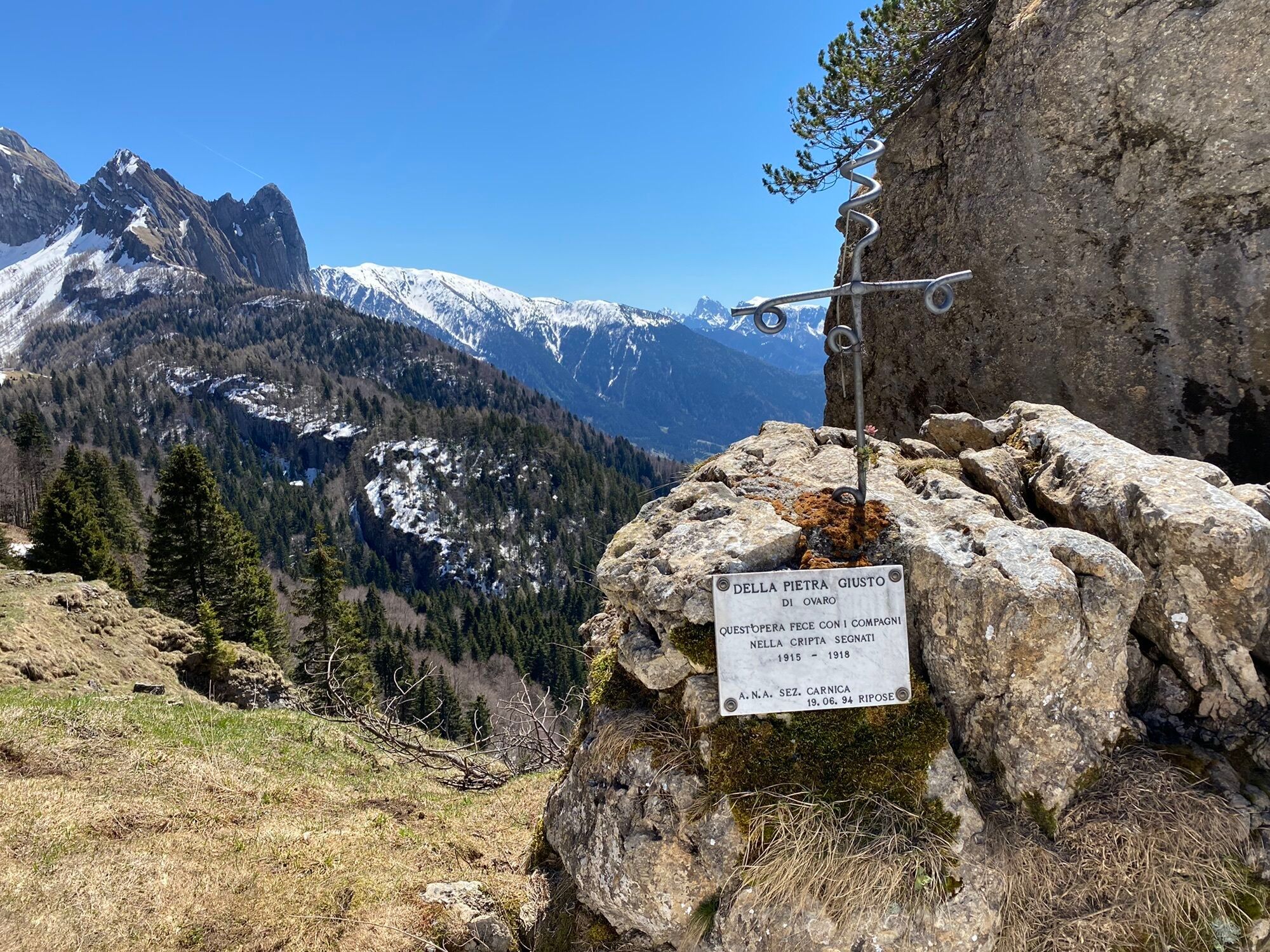
From here you are now in Italy for a while - you initially follow the ridge east towards Freikofel (path no. 401) and descend on the next fork on the south side down to the "Della pietra giusto" trail cross. Here you cross under the Freikofel eastwards (path no. 401). You ignore the next forks up and down and continue crossing the slopes eastwards.
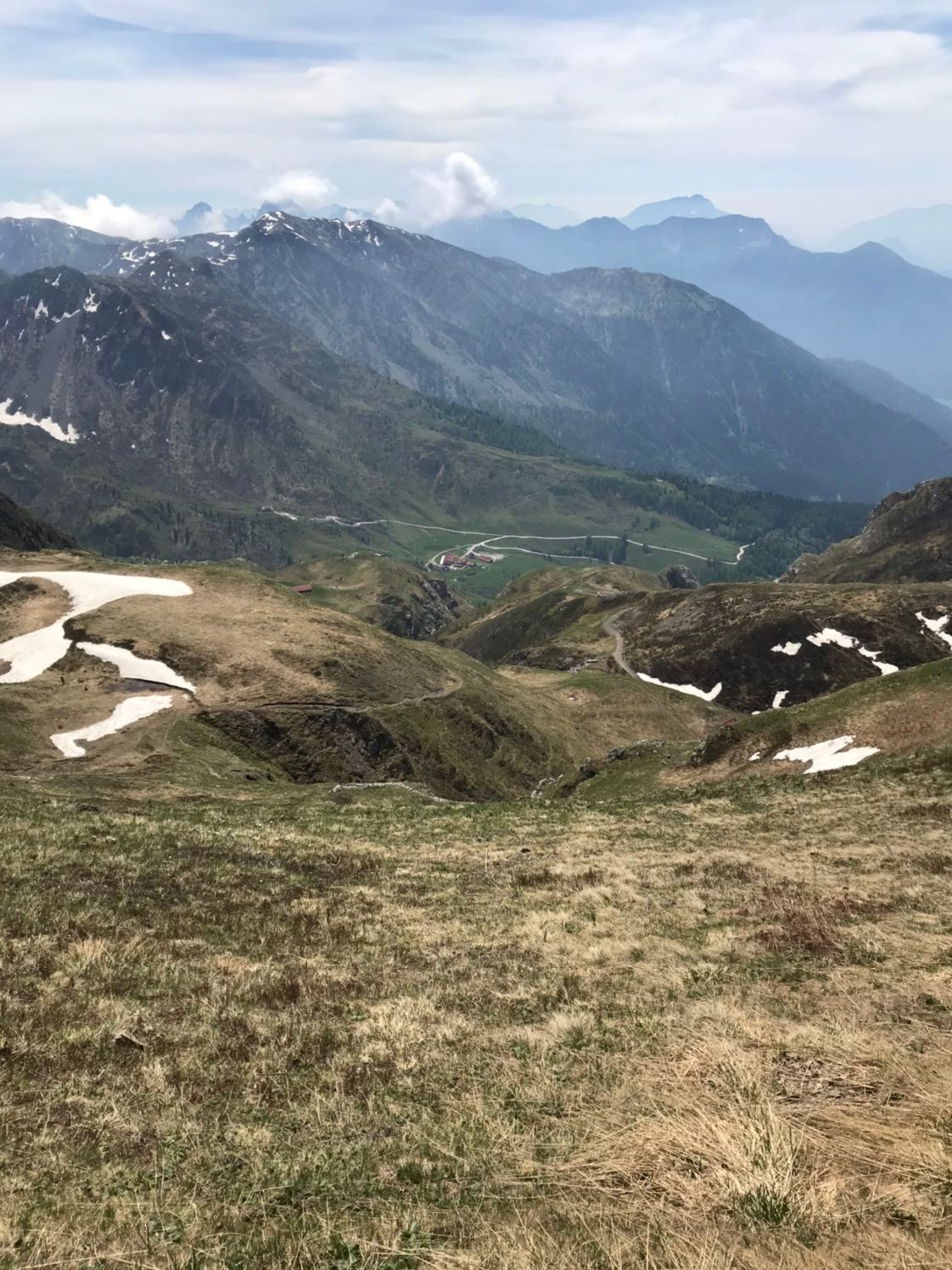
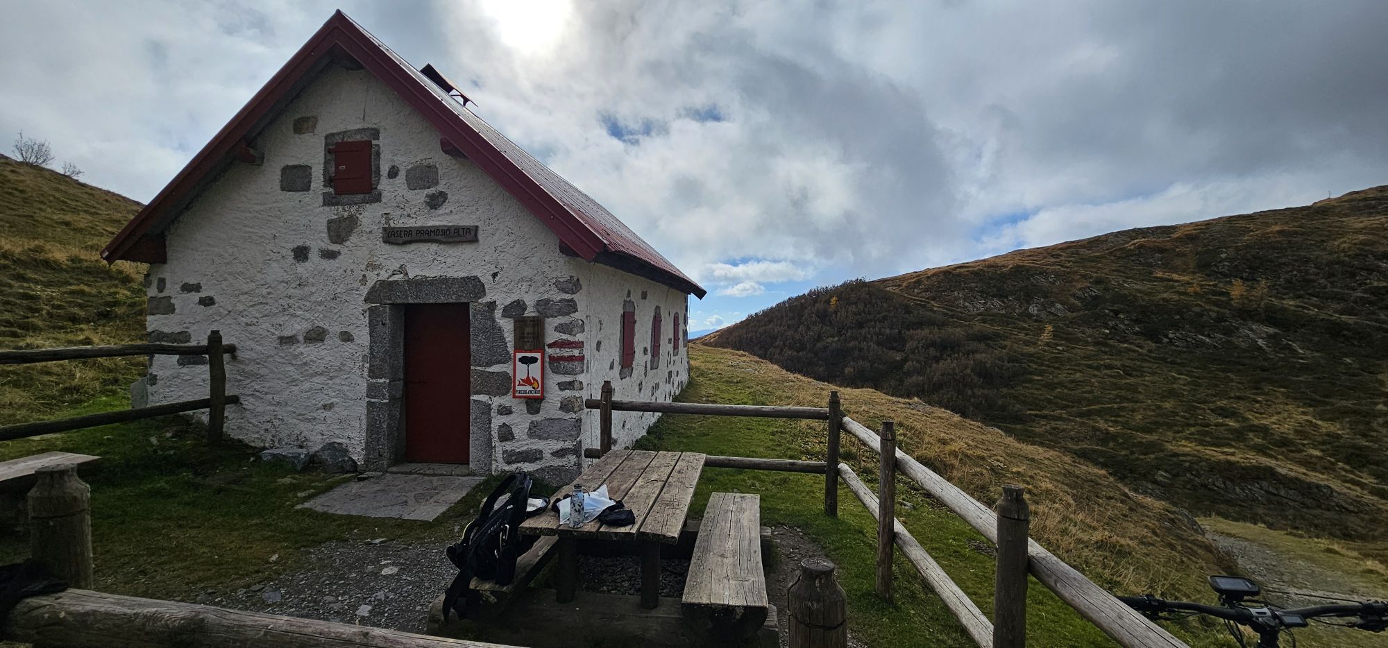
After a while, a path from the valley meets your path - continue east (from here now path no. 402) and soon ascending past the abandoned Casera Palgrande di sopra and the Tischlwanger Törl, up to below the Blaustein. Now down to the Upper Pramosalm at Lake Pramosio.
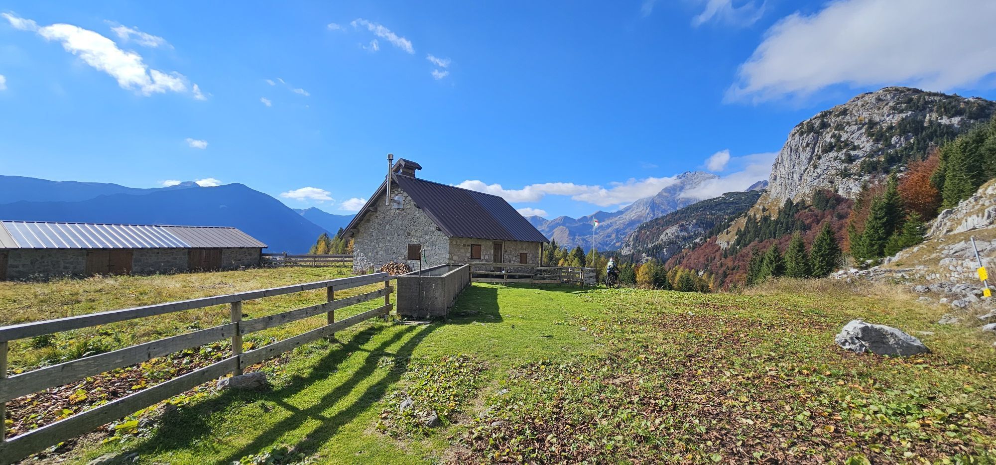
From the Upper Pramosalm you now walk down the alpine road (path no. 402) until a hiking trail branches off to the left, over which you reach the Kronhofer Törl in a few minutes. Here you switch back to the Austrian side - you descend and soon reach a crossing path. From here you are on the original route of the Karnischer Höhenweg KHW 403 again. You hike to the right (east) and reach a slightly descending alpine road that initially takes you uphill to the Upper Bischofalm. The Upper Bischofalm belongs to the slightly lower Lower Bischofalm, which is one of the official Gailtal cheese alpine pastures. While the Lower Bischofalm, which is not on the route, is staffed throughout the entire alpine season, the Upper Bischofalm is only managed irregularly. So do not rely on an opportunity to stop but take advantage if it offers itself to you.
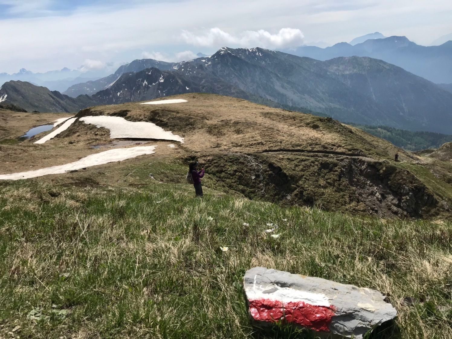
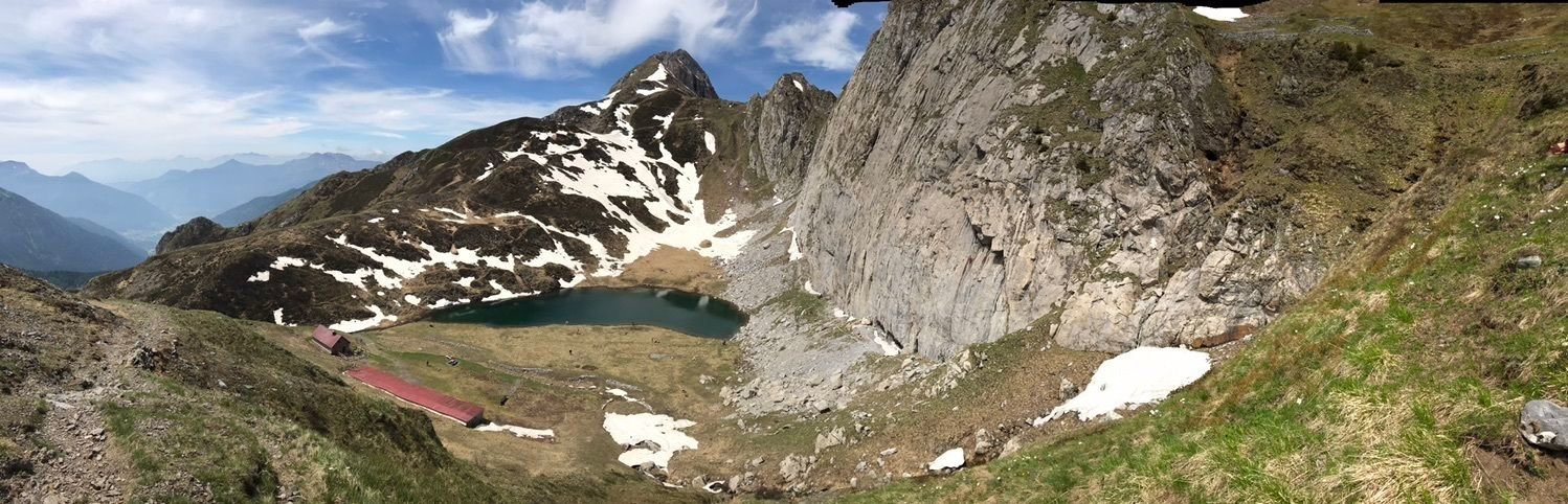
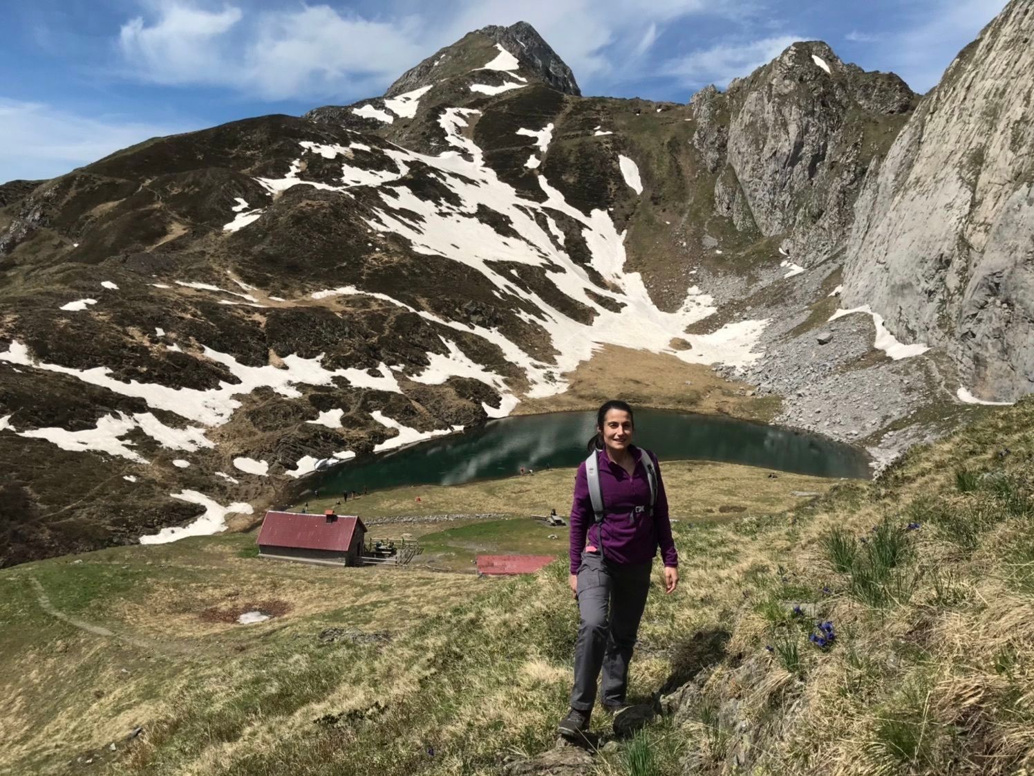
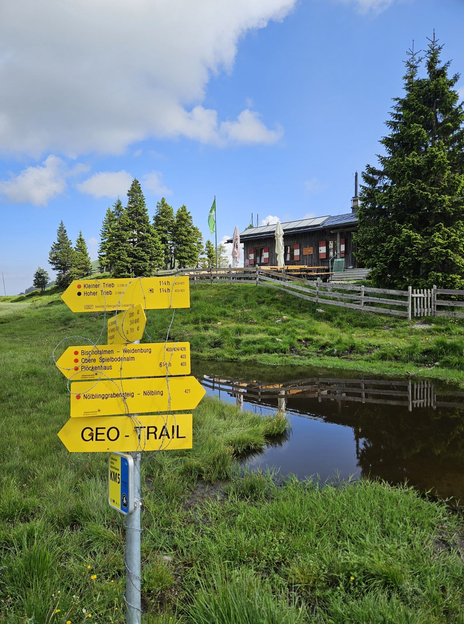
Further uphill you will reach a flat ground after some time, keep left at a fork, and soon reach the Zollnersee Hut - your stage destination.
Da
For the Milky Way on the Karnischer Höhenweg, a "normal" equipment for alpine hikes on unpaved and partly rocky paths in the southern limestone Alps is sufficient. Sturdy footwear with a good tread sole for unpaved paths is, however, a "must", and the use of telescopic hiking poles to relieve the knees on the sometimes longer descents is recommended. In summer, good sun protection and sufficient water are very important (there are no refreshment options on every stage). Enough warm clothing for possible weather changes is also important even in midsummer. For all the mountain huts along the trail, you additionally need to bring a hut sleeping bag and a towel.
Here is the detailed equipment list for your trail trip.
Technically, the Milky Way on the Karnischer Höhenweg shows moderate difficulties. Surefootedness on rooty and rocky hiking paths in alpine terrain is an absolute prerequisite.
All stages run on mountain paths marked with a red dot, meaning according to the Alpine Club classification they are rated as medium-difficulty mountain paths >> see here. By definition, red categorized paths are "predominantly narrow, often steep, and can have fall-hazardous sections. There can also be short secured passages (e.g. wire rope)."
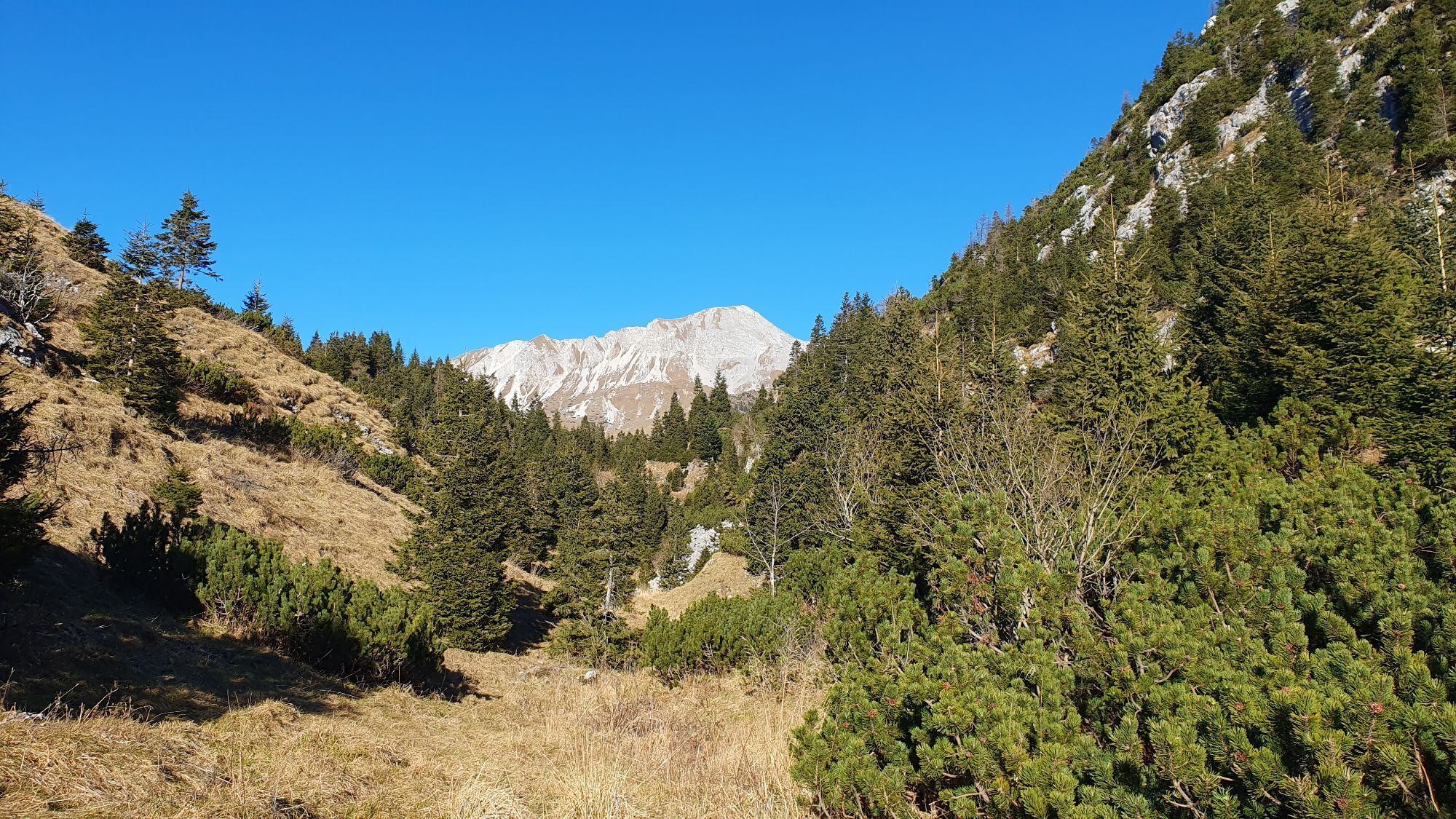
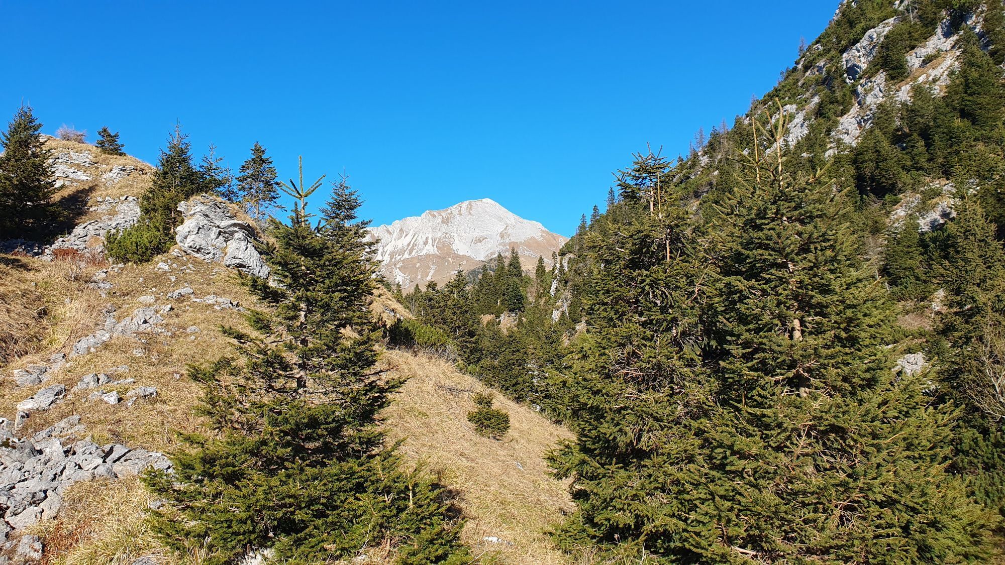
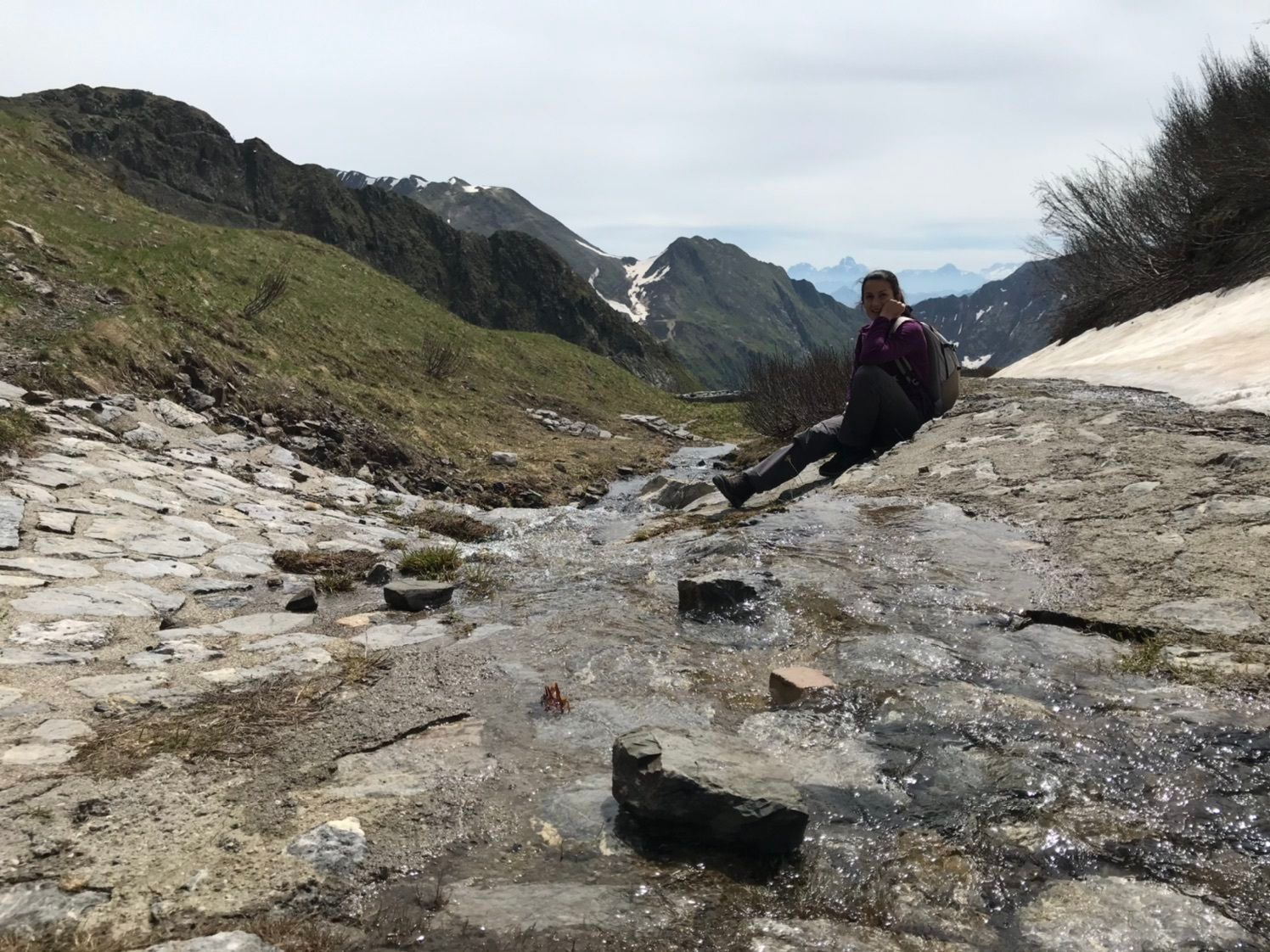
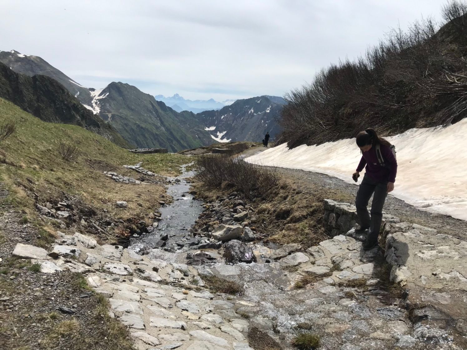
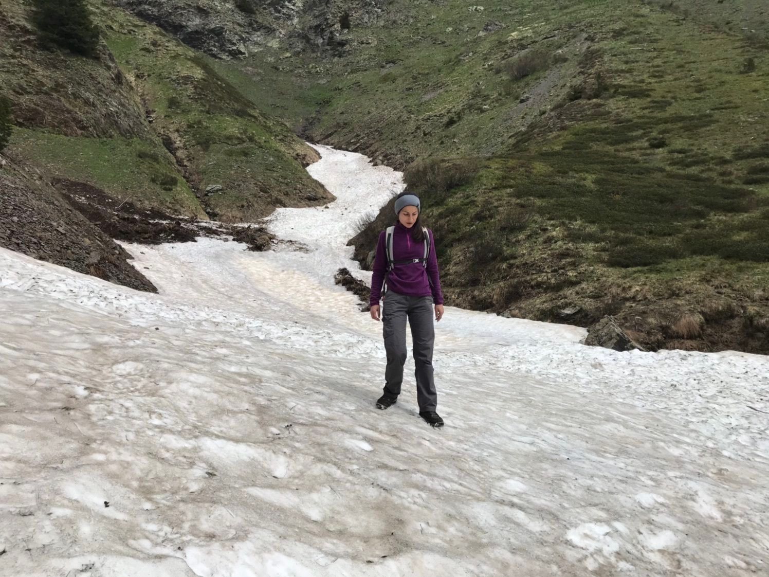
Even though the terrain does not have major technical difficulties, you are still moving in an alpine region often above the tree line with elevations up to 2,200 m. Therefore, you should have alpine hiking experience for the Karnischer Milky Way, orientation skills to find your way, and be able to handle dangers from weather changes in the mountains.
Physically, the Karnischer Milky Way demands higher performance: individual stages have ascent elevations up to 1,000 meters, descents up to 1,400 meters, and/or path lengths of 20 km. This means pure walking times of up to nearly 7 hours a day. The walking times are calculated with the (quite brisk) Outdooractive formula as usual. Appropriate physical preparation is therefore recommended.
The Karnischer Milky Way is suitable for children aged 12 and over with good fitness.
Long-distance hiking and trekking routes are generally little to not suitable for persons with restricted mobility. To clarify individual cases (degree of restricted mobility), it is recommended to contact the trail info & booking center before booking.
More information on the classification of hiking paths and the technical and physical preparation for the tour can be found here.
Arrival shuttle service – not included in the price: Takes you to the starting point of your trail trip and at the end of the tour back to the ideal train station or airport. The trail info & booking center is happy to organize this shuttle service.
By train: The following train stations are available to you: Arnoldstein and Hermagor, both reachable by S-Bahn from Villach main station. By
plane: The following international airports are recommended for travel by plane – Klagenfurt and Ljubljana.
By your own car: Parking is available at the respective starting points of the trail trip. Detailed information is included in the booking documents. Most of the parking spaces are free and not supervised! The return transport brings you back to your car.
T3
Plan your trip along the Milky Way with the help of the experts.
Hike carefree on the Milky Way on the Karnischer Höhenweg! The official info and booking center with the experienced team of Trail Angels is happy to support you. Whether advanced, backpacker or hiking beginner: walkers are in good hands with the competent and helpful booking center team. Especially if you want to combine personal freedom and longing for something special with service, comfort and safety on your hike.
Information and booking:
Official "The Milky Way on the Karnischer Höhenweg" info & booking center
Powered by Trail Angels
Obervellach 15, 9821 Obervellach
+43 4782 93093
info@trail-angels.com
www.trail-angels.com | www.bookyourtrail.com
https://www.trail-angels.com/service-offizielles-buchungscenter
Priljubljeni izleti v okolici
-
4.9
Karnischer Hauptkamm - Hohe Warte 2.780m - Hike and Bike
težkoGorski pohodništvo 19.5 km -
4.3
Mountain bike route from the Hubertus Chapel to the Wolayersee
težkoMountainbike 9.06 km -
3.7
Cellon-Stollen und Senza Confini auf den Cellon und Steinberger Weg zum Abstieg
srednjaVia ferrata 7.09 km -
3.6
RW_N61 Kleiner Pal (1,867 m)
težkoPohodništvo 6.52 km -
4.3
WW_N18 flower paradise Mussen
srednjaPohodništvo 6.52 km -
5.0
Valentin-Wolayersee-Runde
srednjaPohodništvo 12.4 km -
4.5
03 Südalpenweg, 24. Etappe: Valentinalm - Wolayerseehütte
srednjaPohodništvo v daljavo 9.63 km -
5.0
Frischenkofel
srednjaPohodništvo 5.25 km -
5.0
Plöckenhaus - Polinik - Plöckenhaus
težkoPohodništvo 10.9 km -
2.9
Wolayersee
srednjaPohodništvo 7.90 km
Pohodništvo in sledenje


Ne zamudite ponudb in navdiha za naslednje počitnice
Vaš e-poštni naslov je bil dodan na poštni seznam.