







Karawanken Trail: Long-Distance Hiking Through Earth's History

Stopnja težavnosti: T2
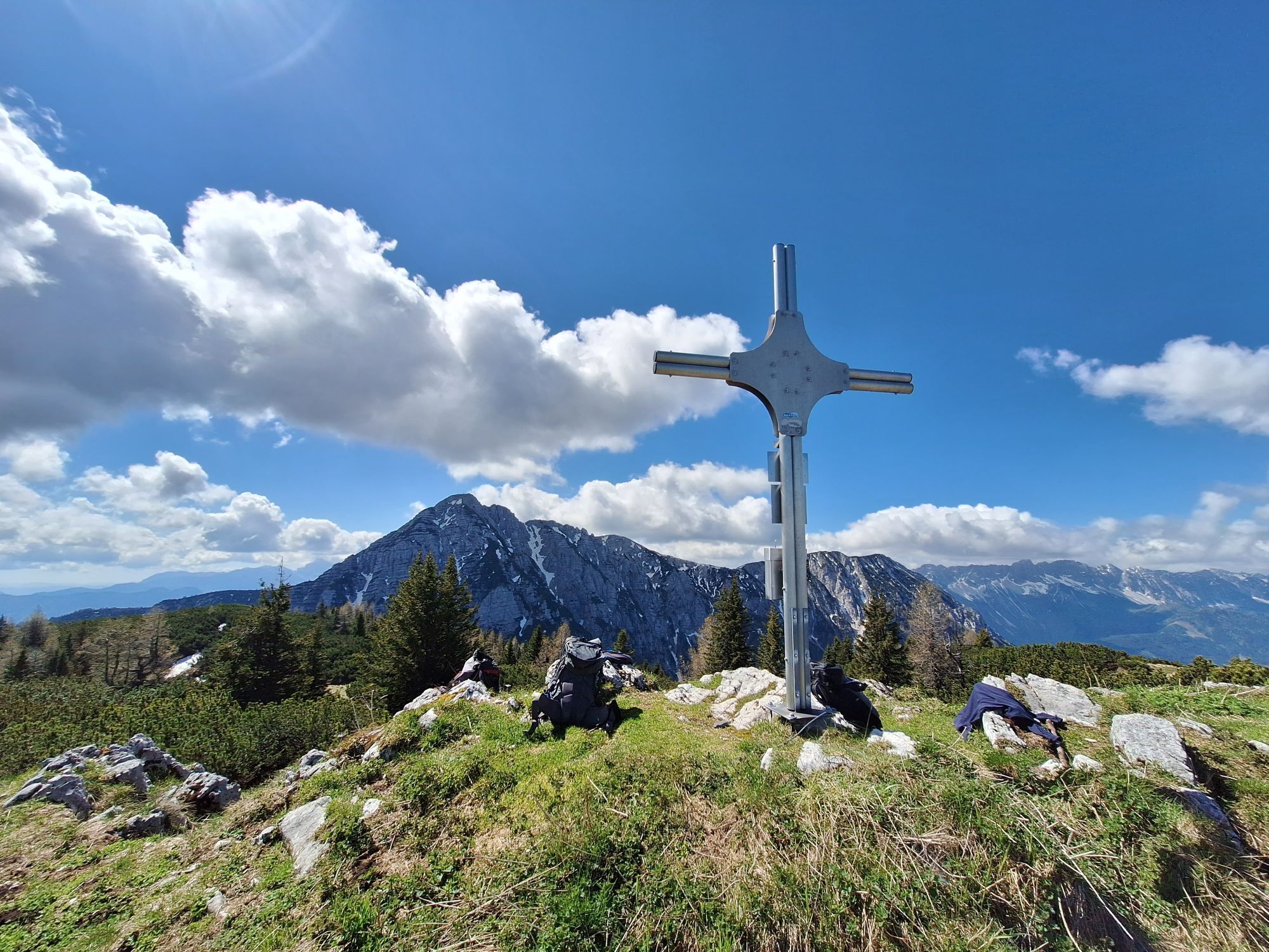
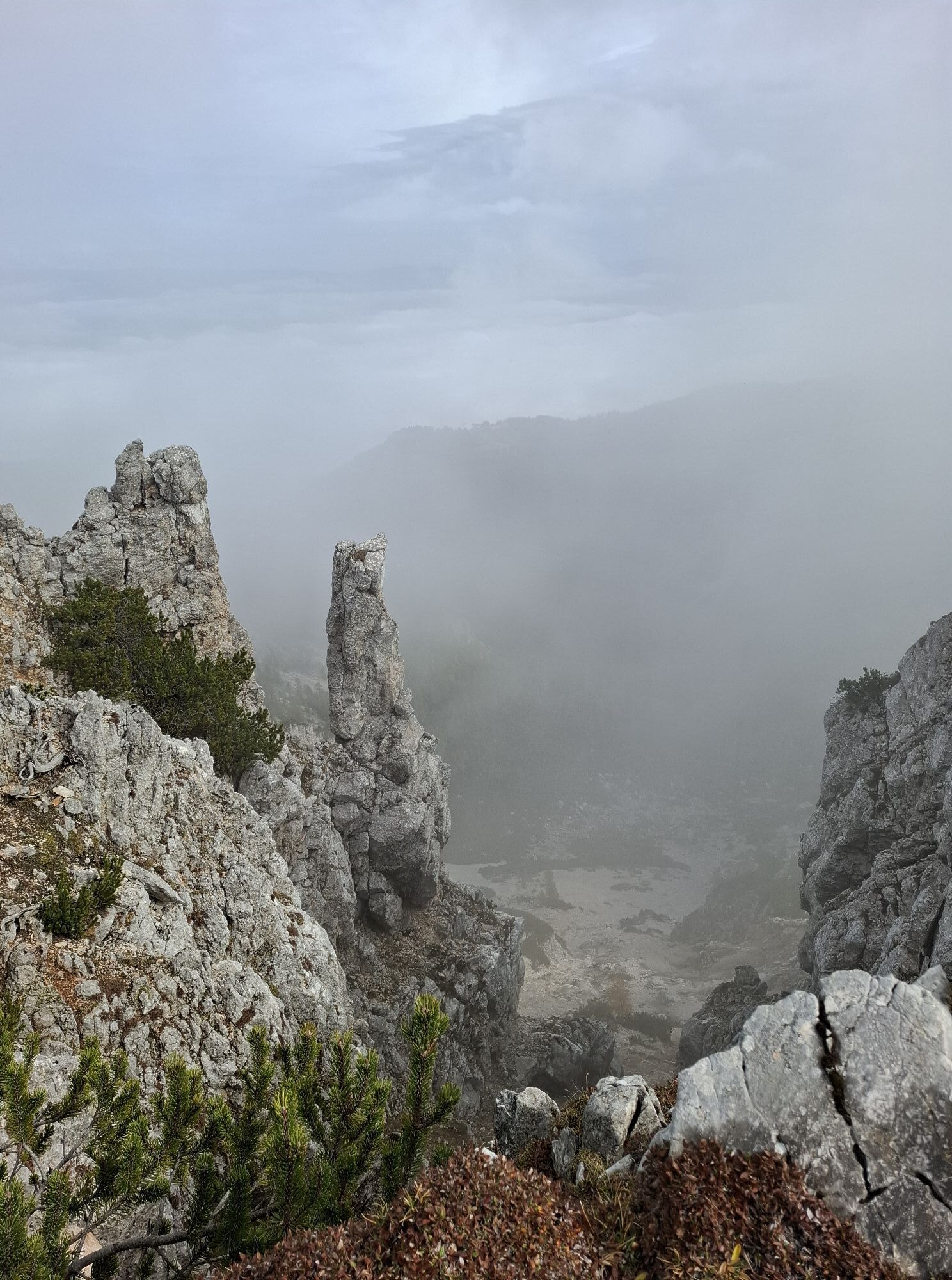
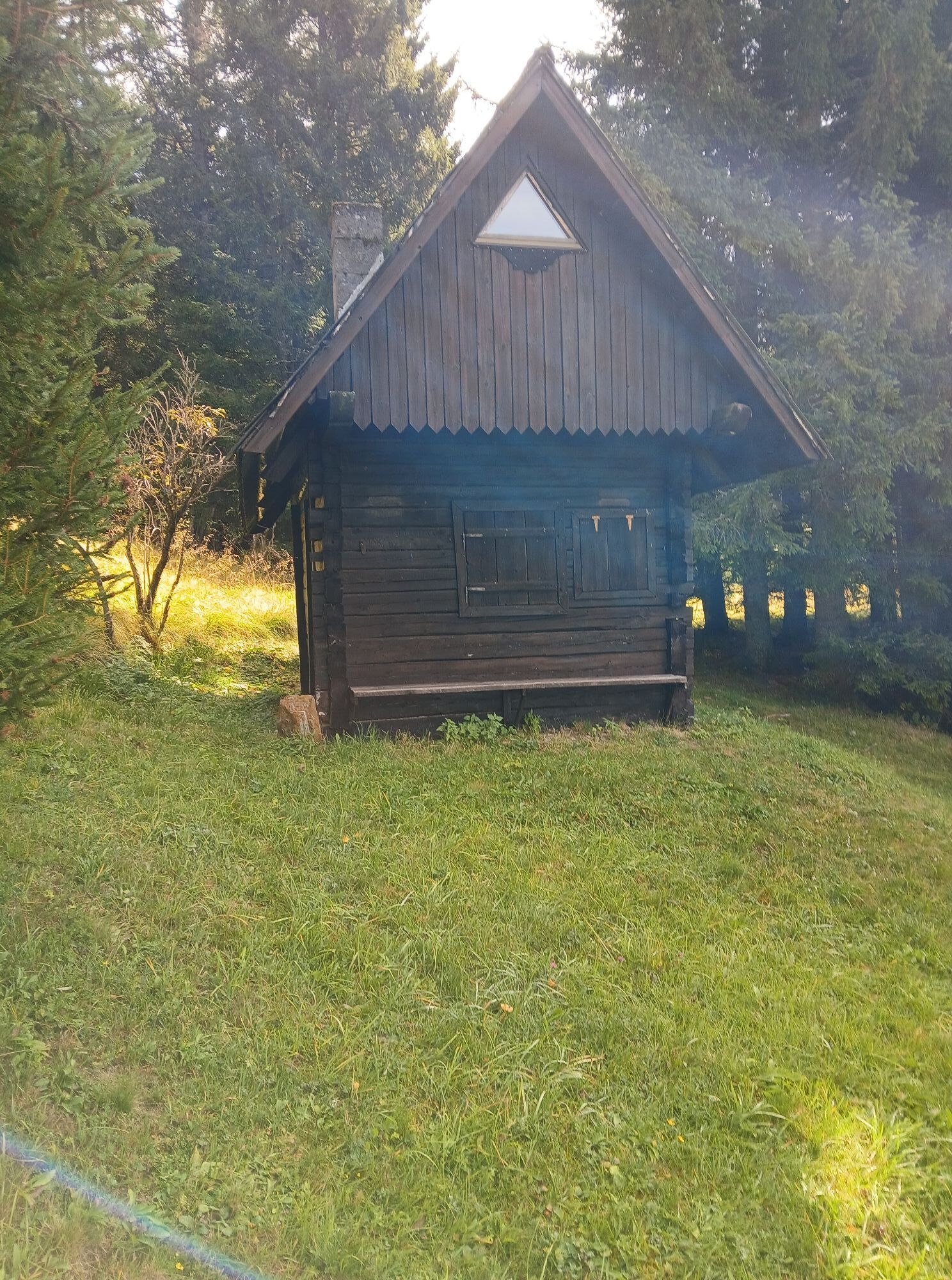
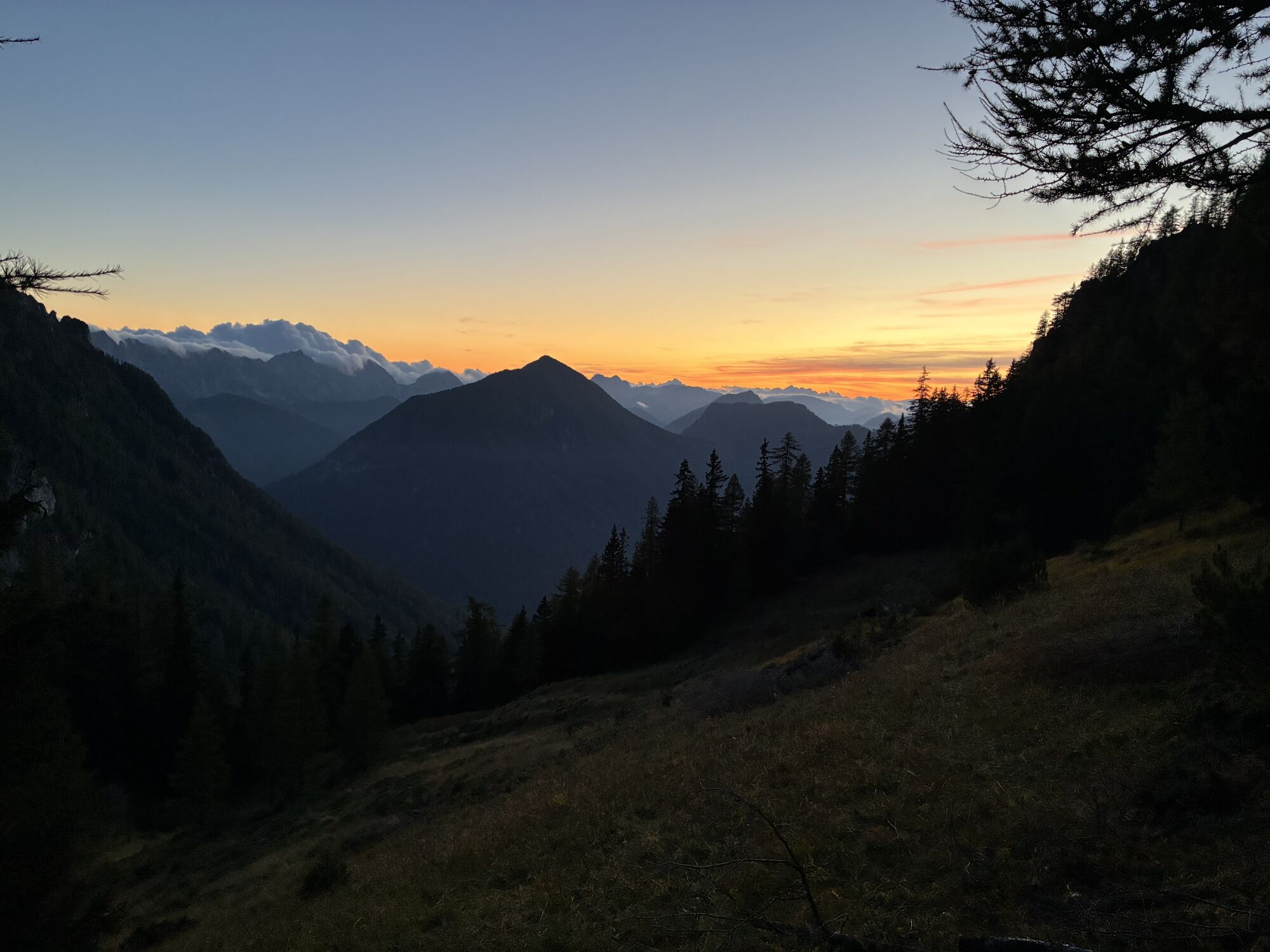
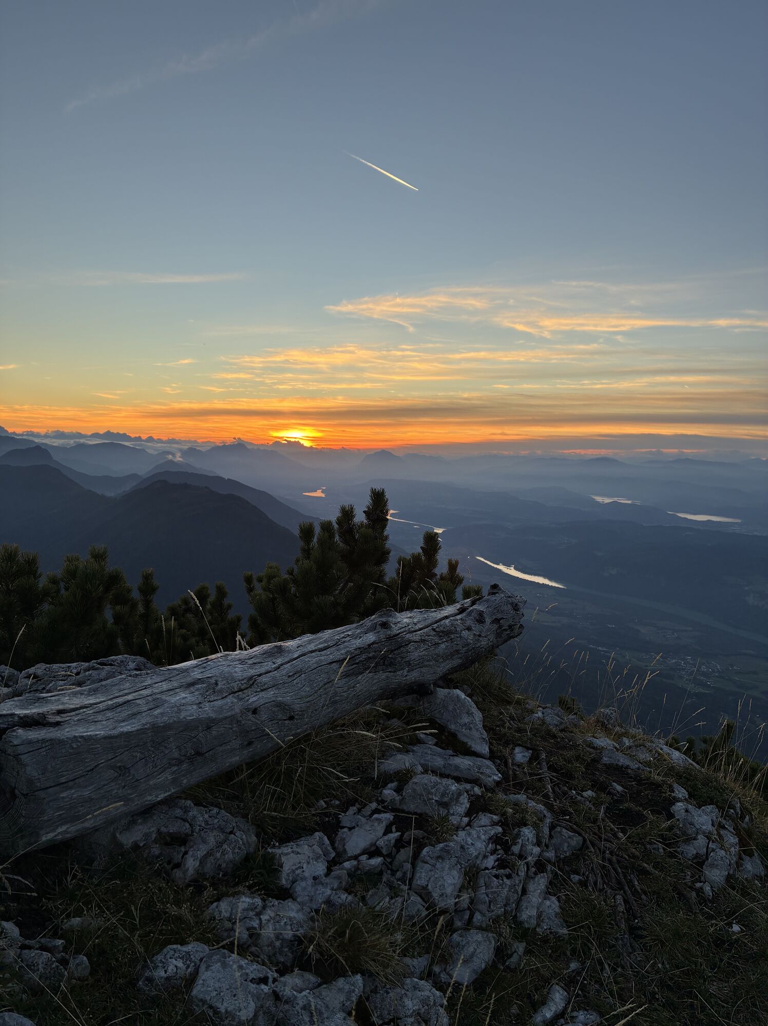
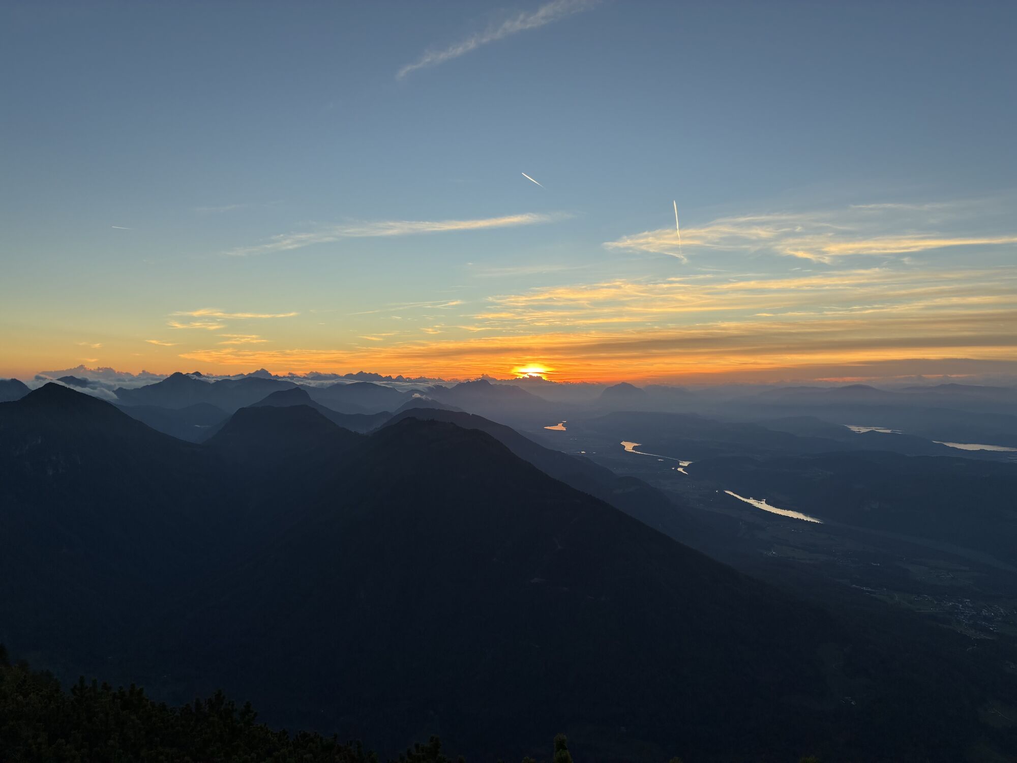
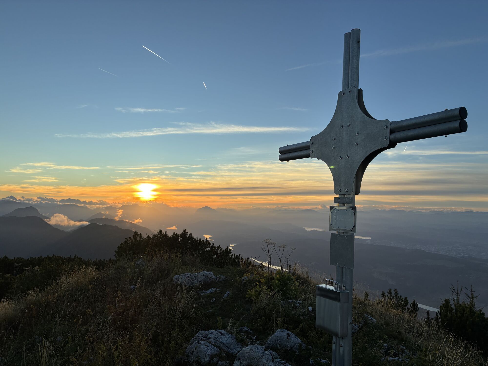
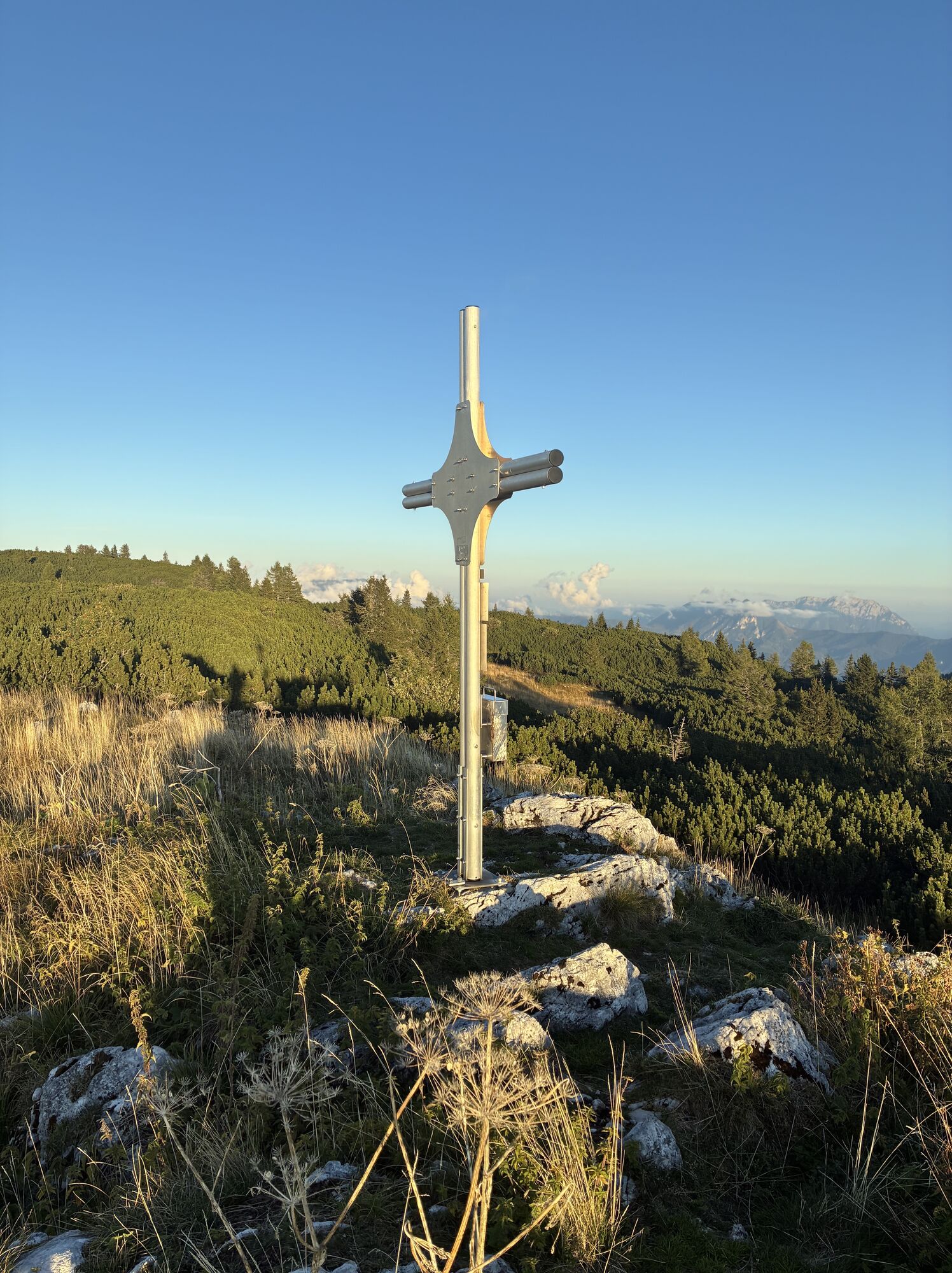
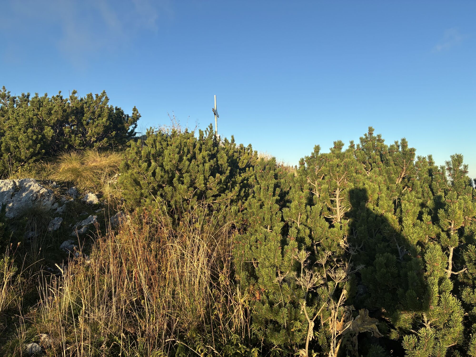
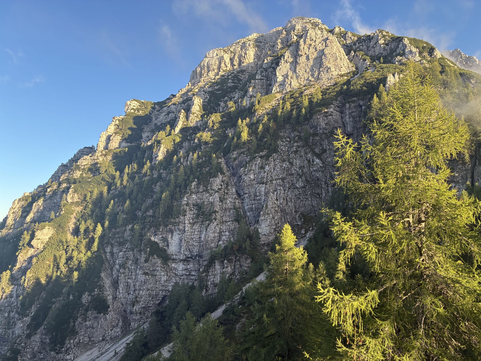
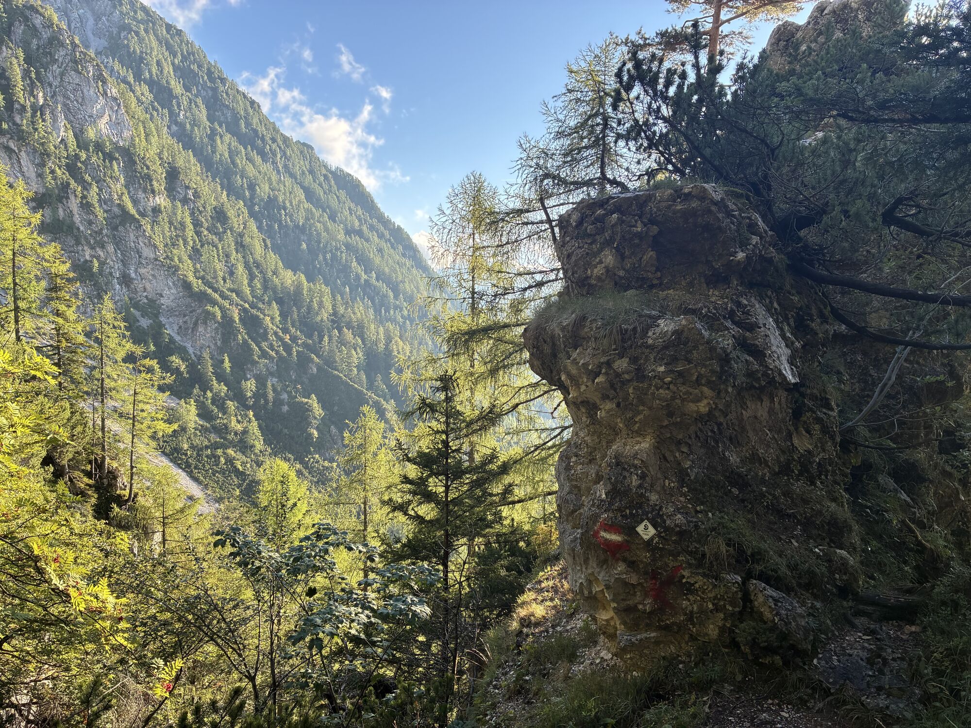
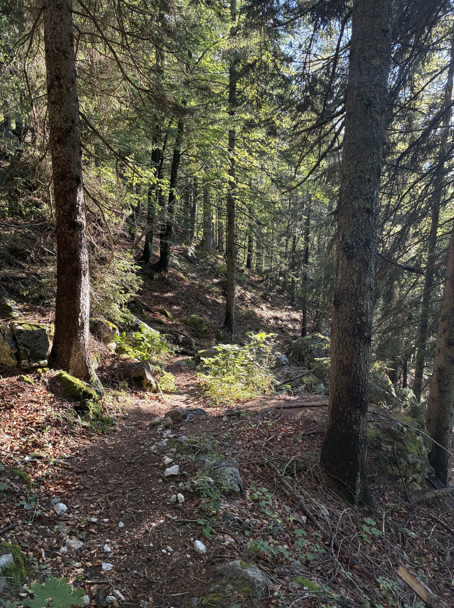
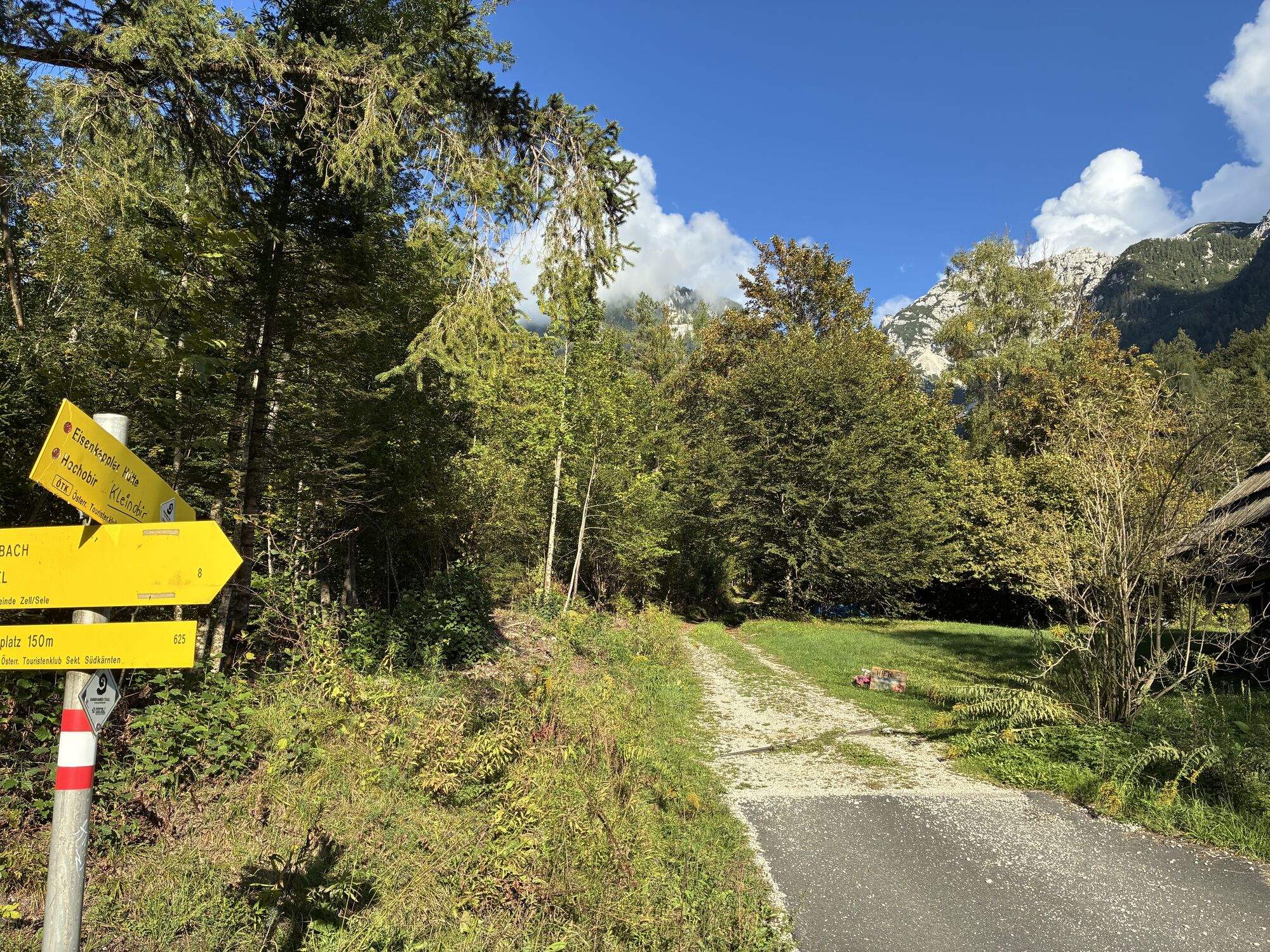
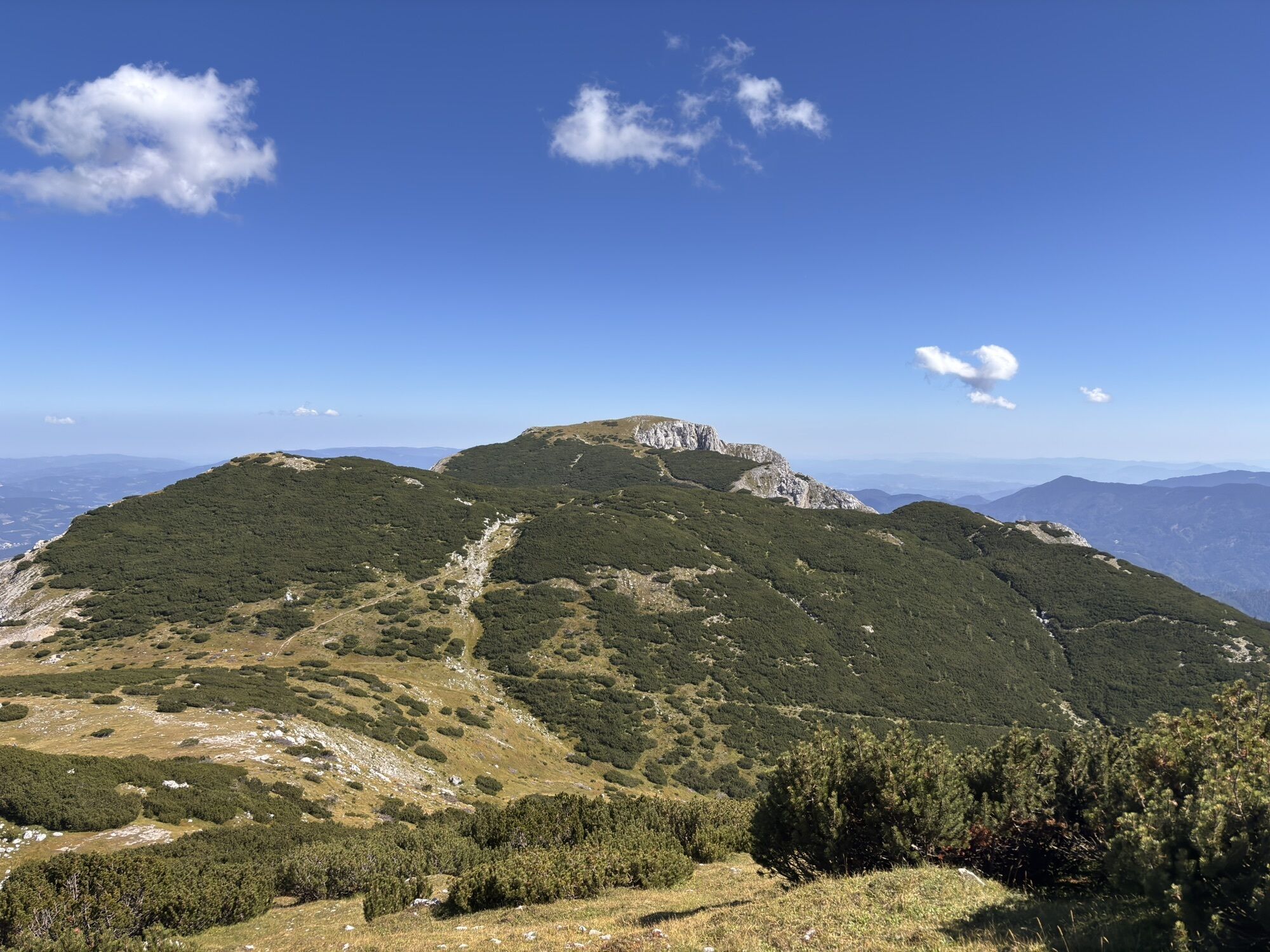
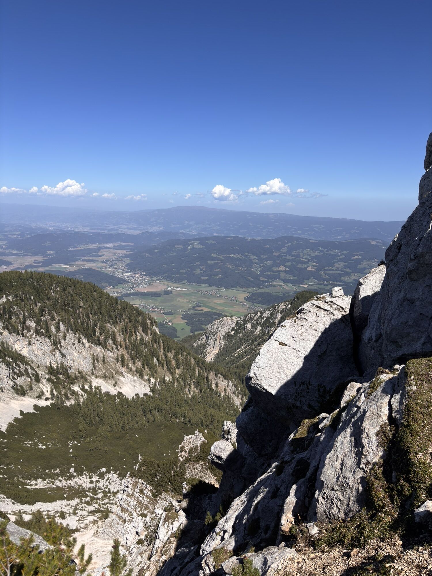
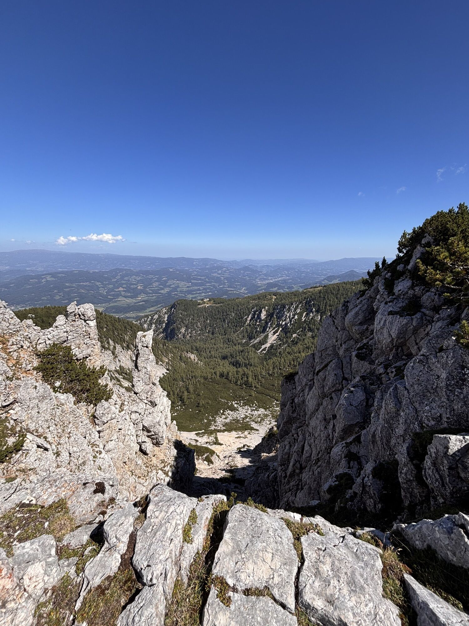
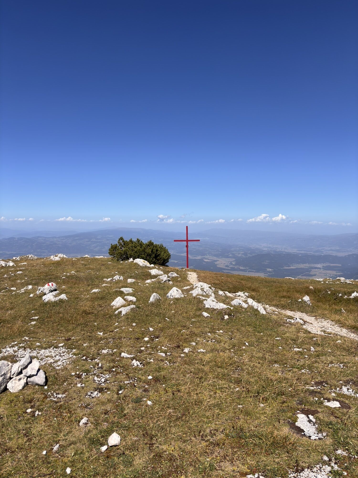
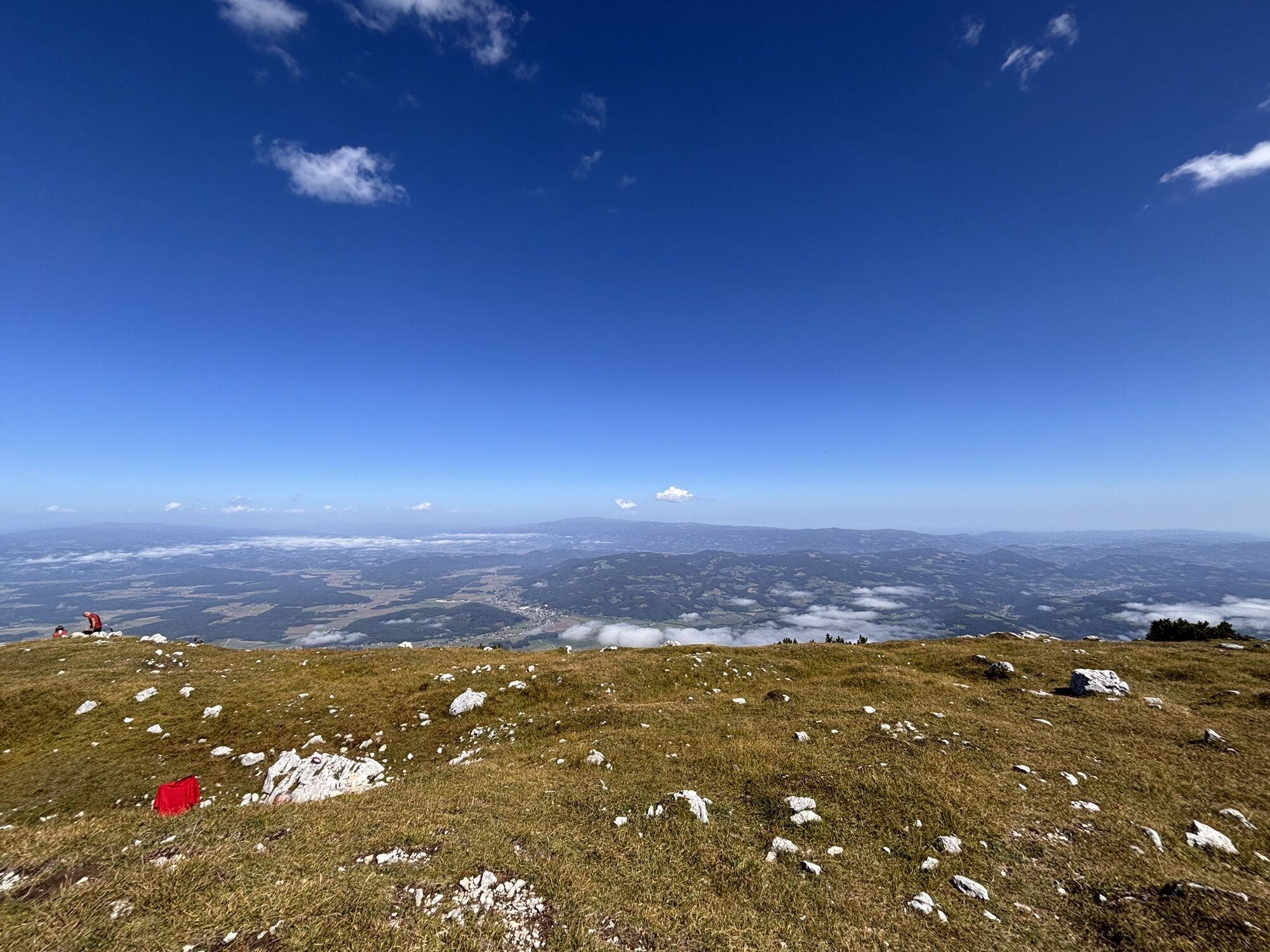
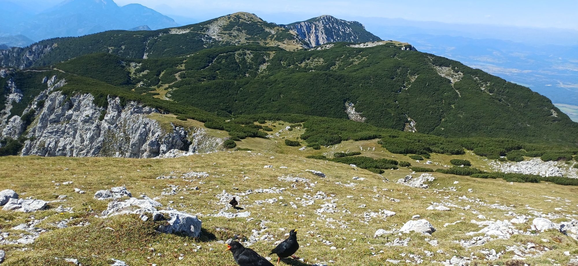
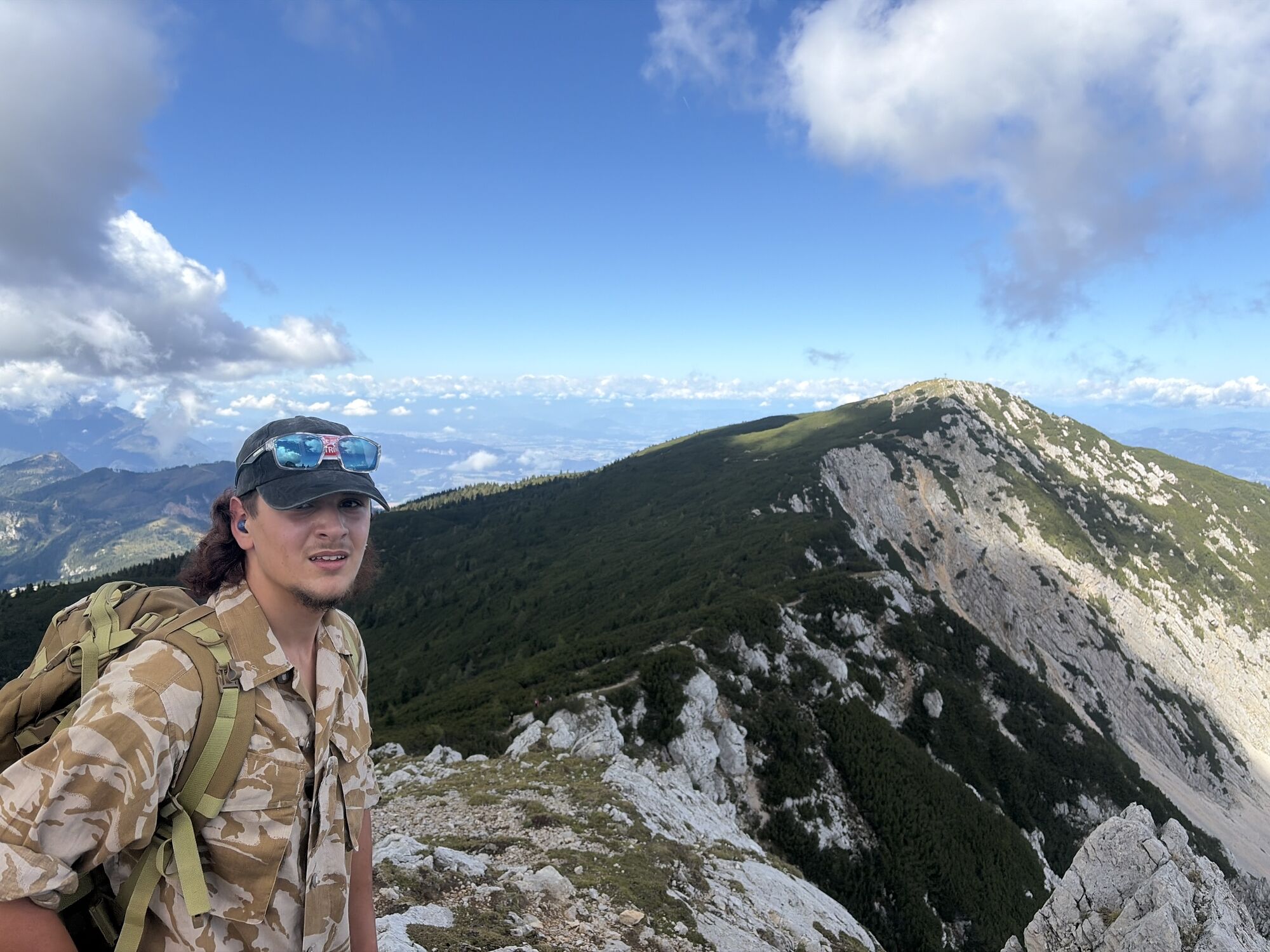
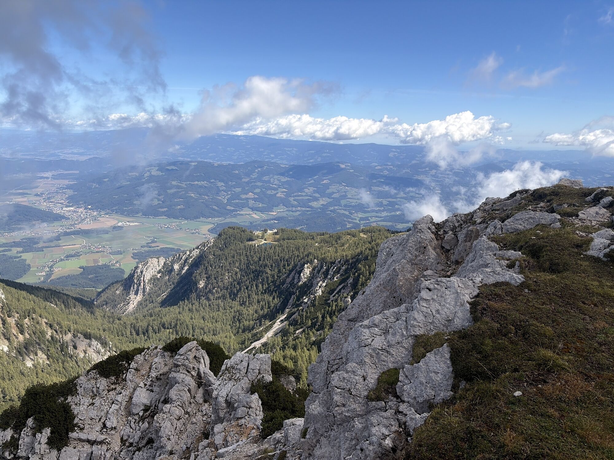
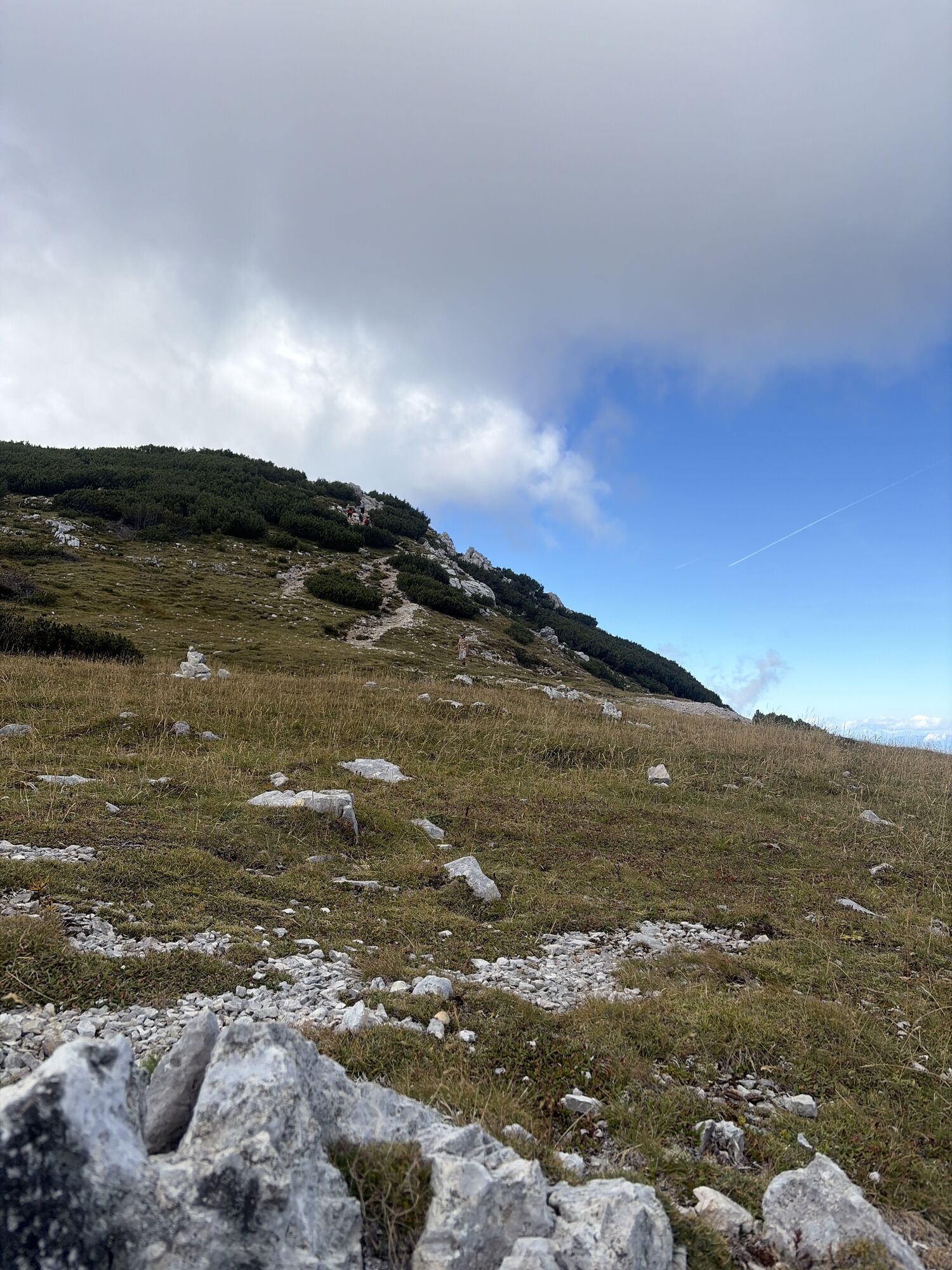
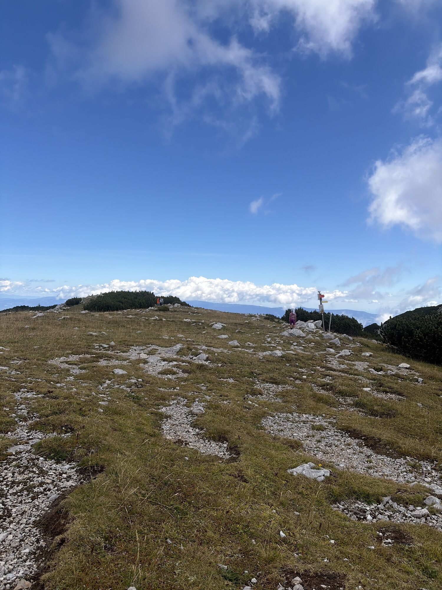
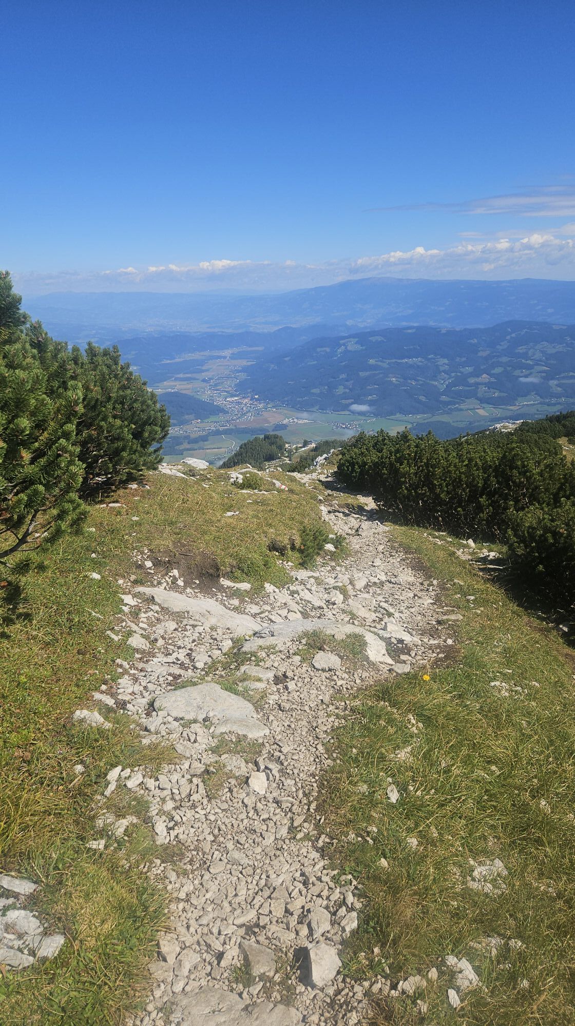
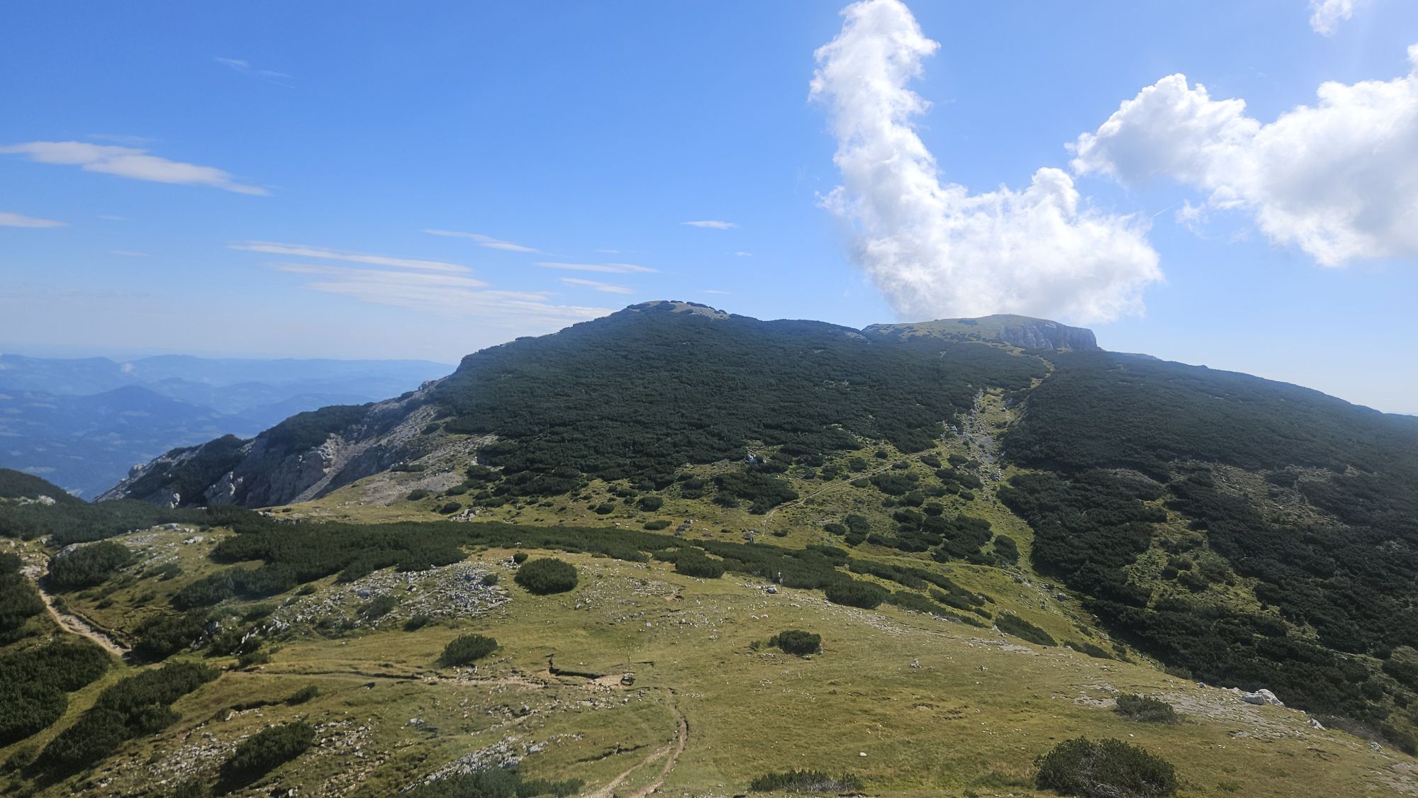
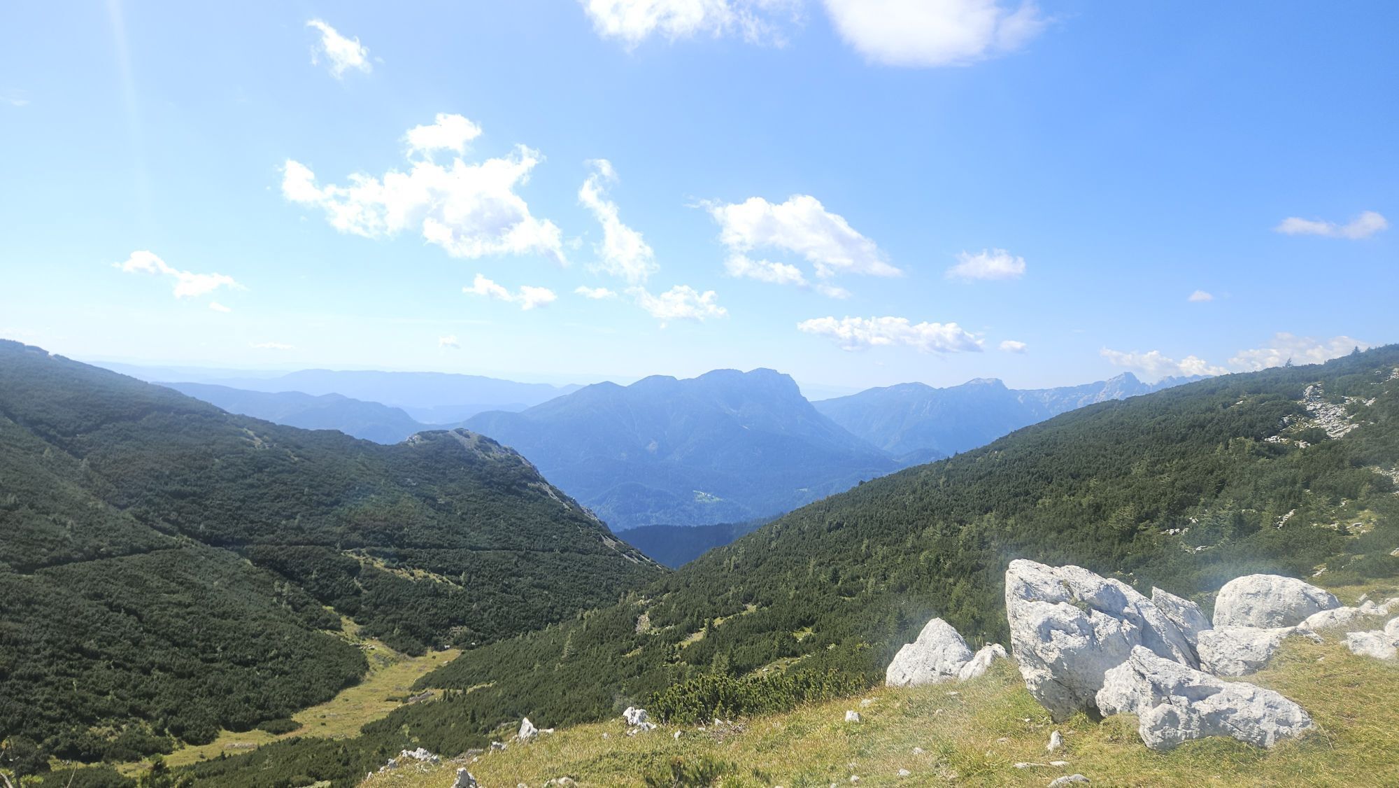
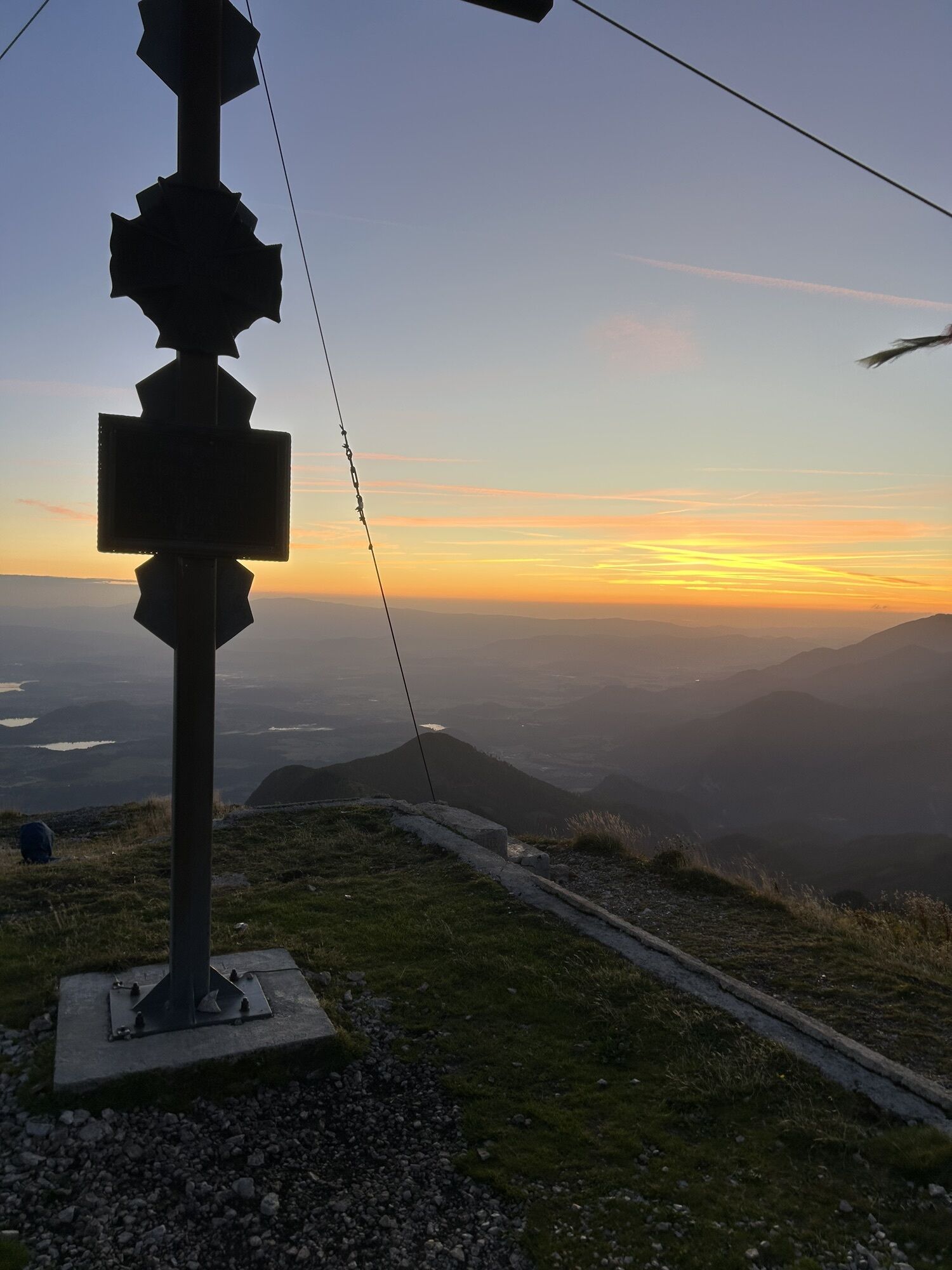
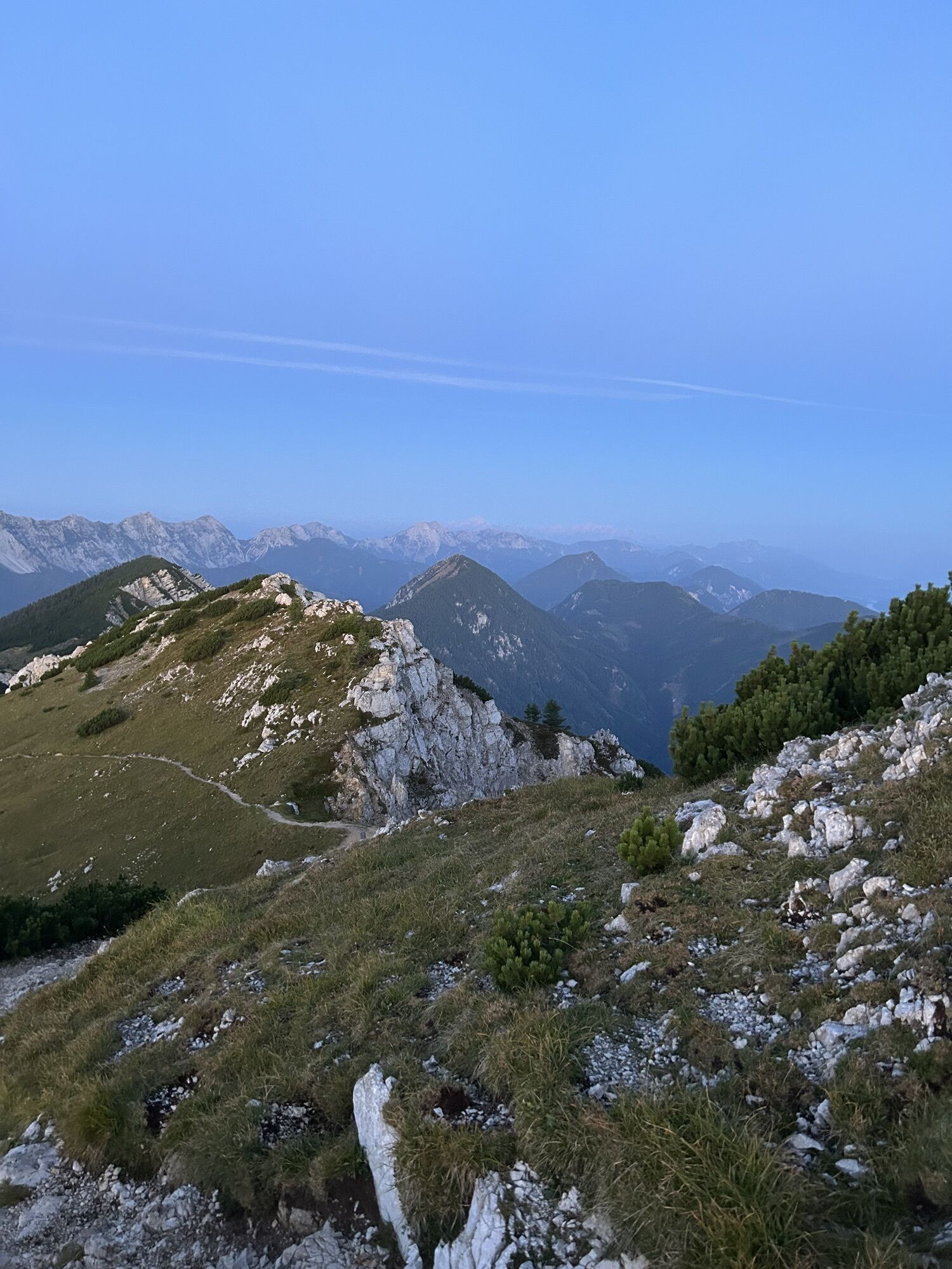
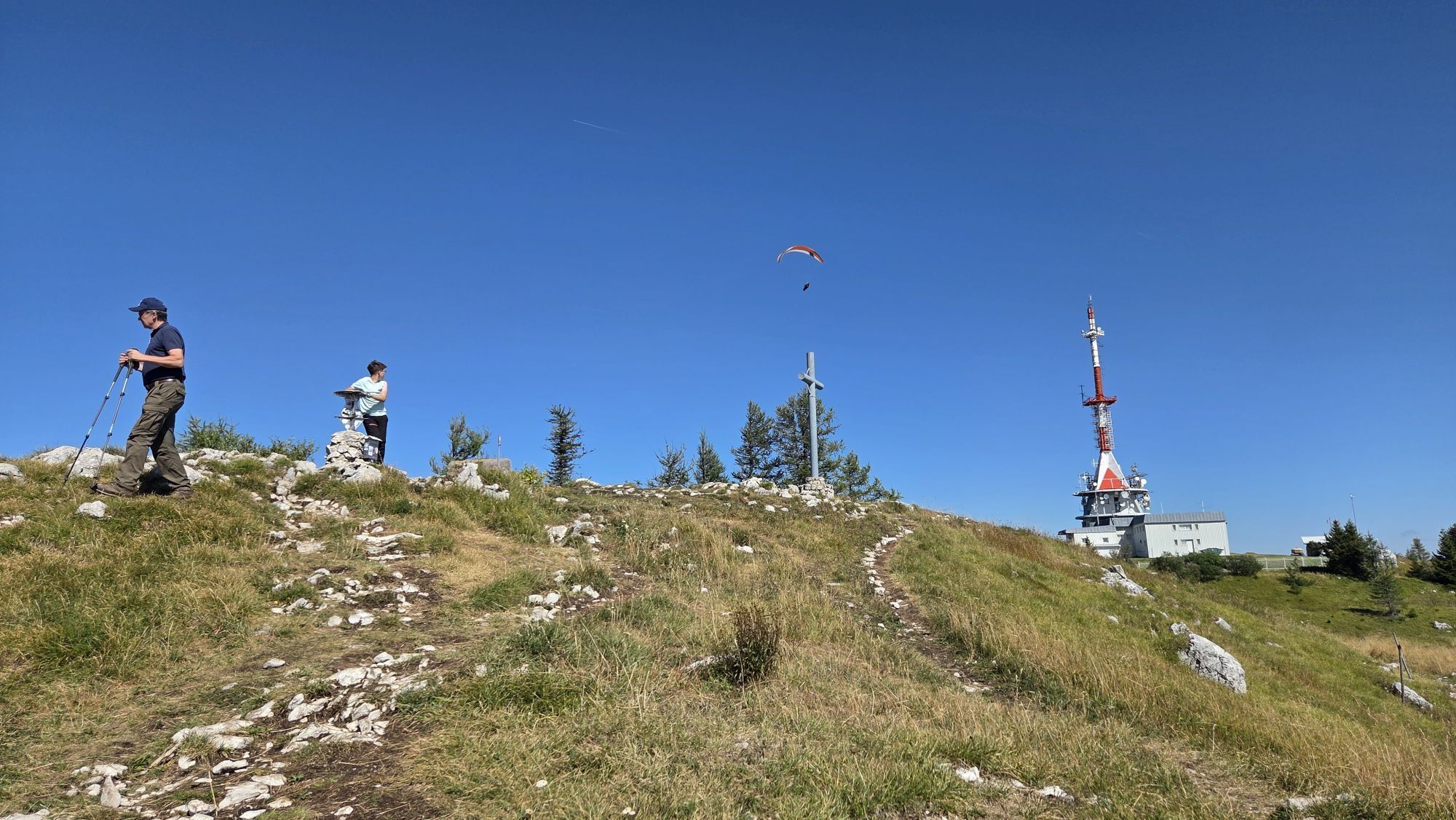
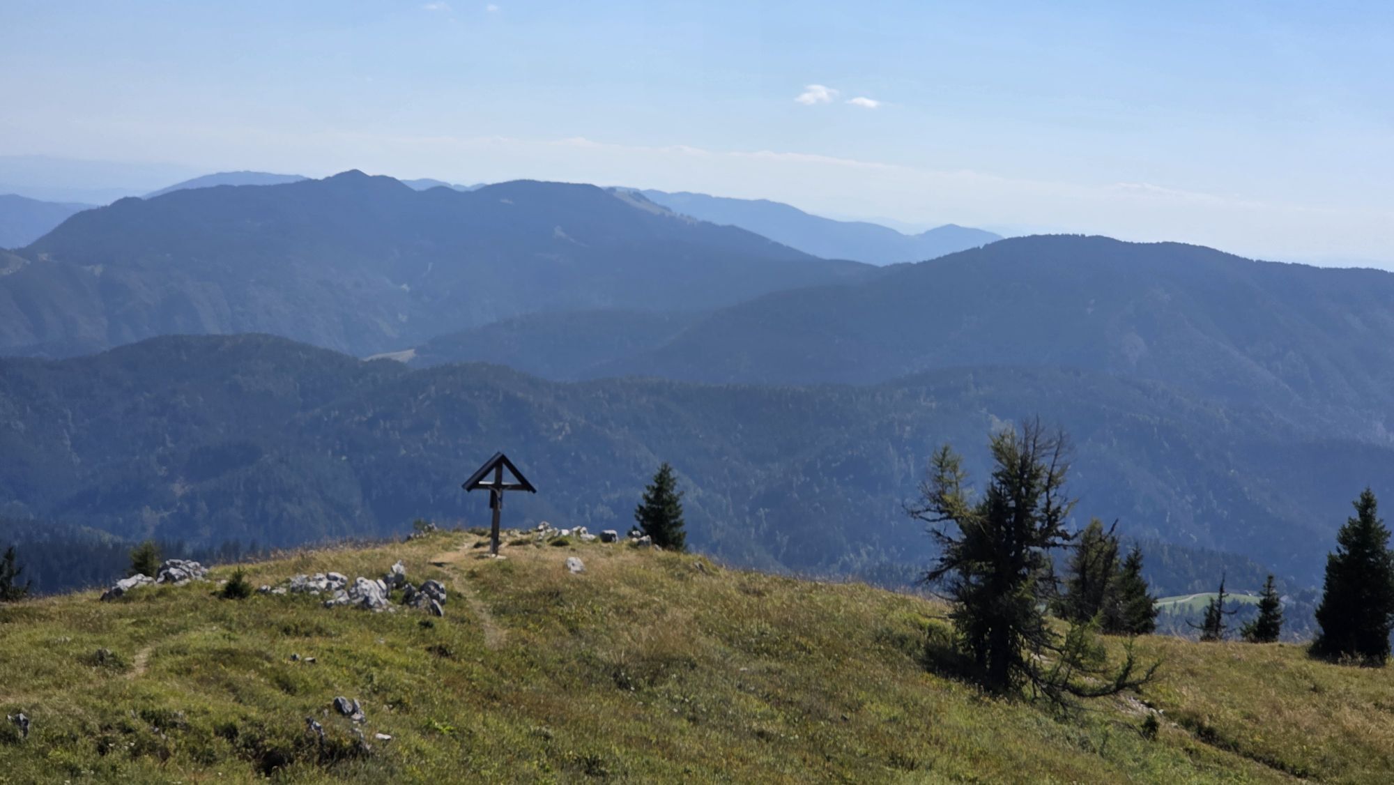
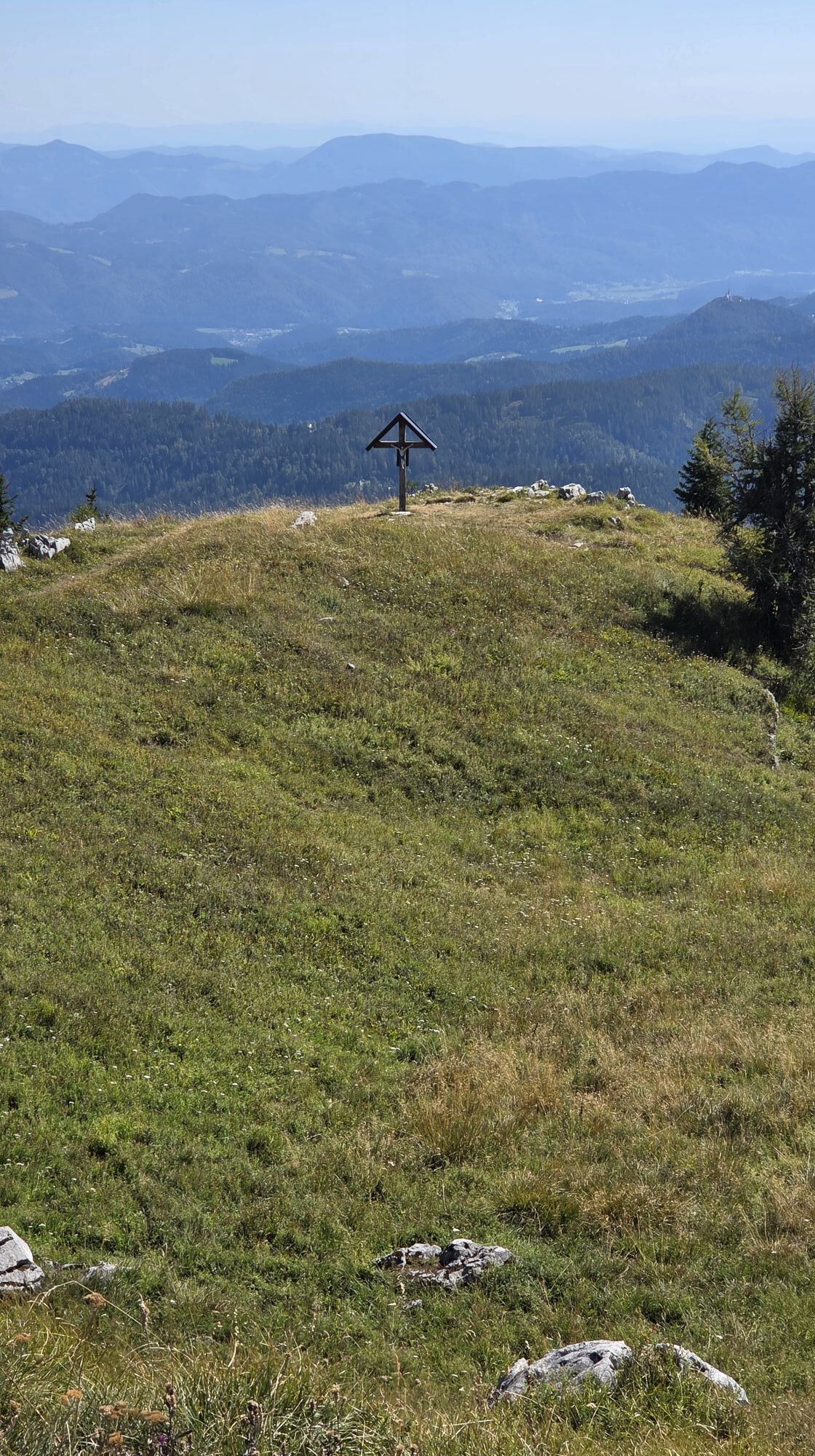
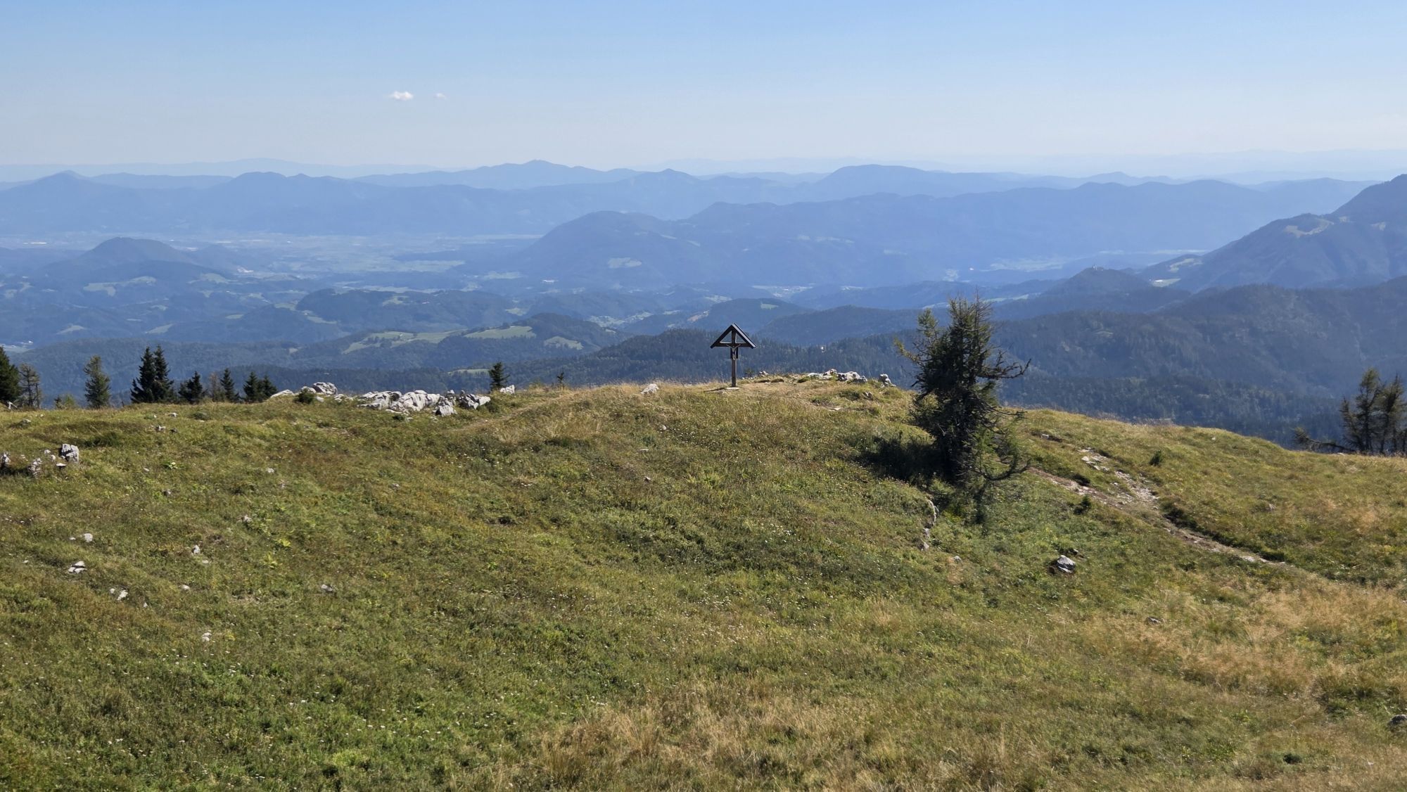
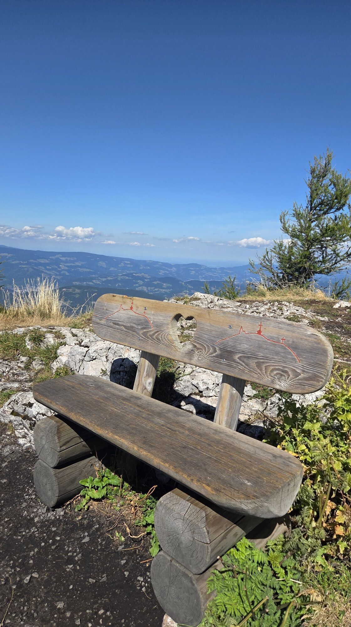
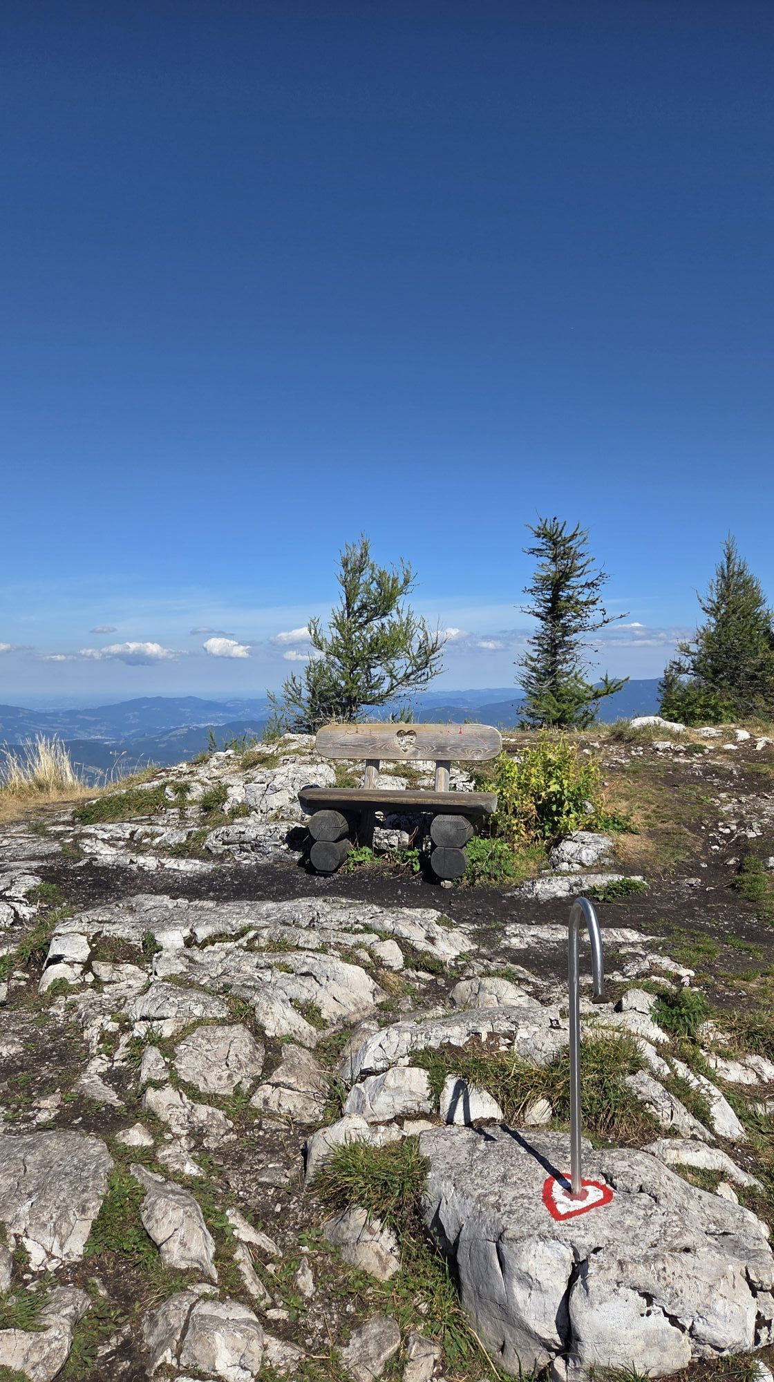
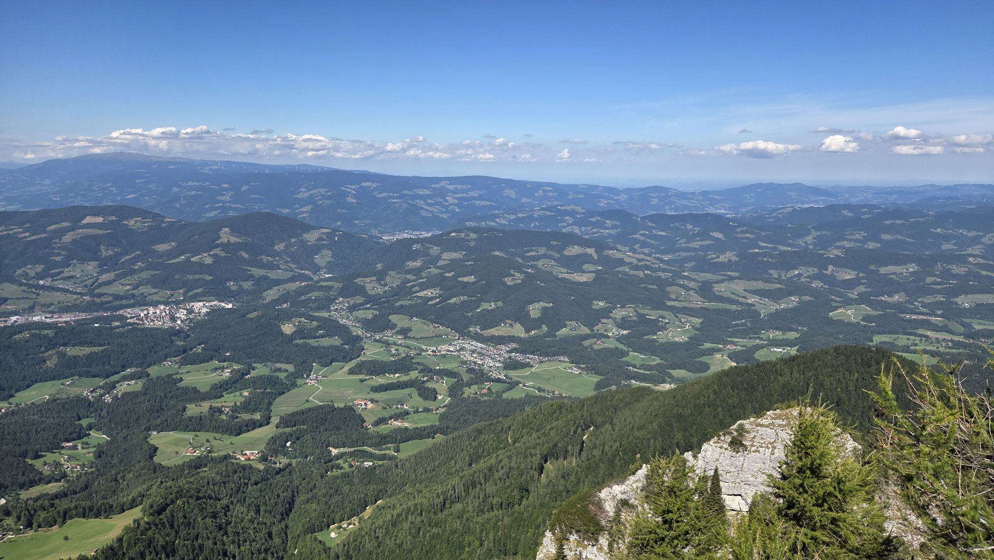
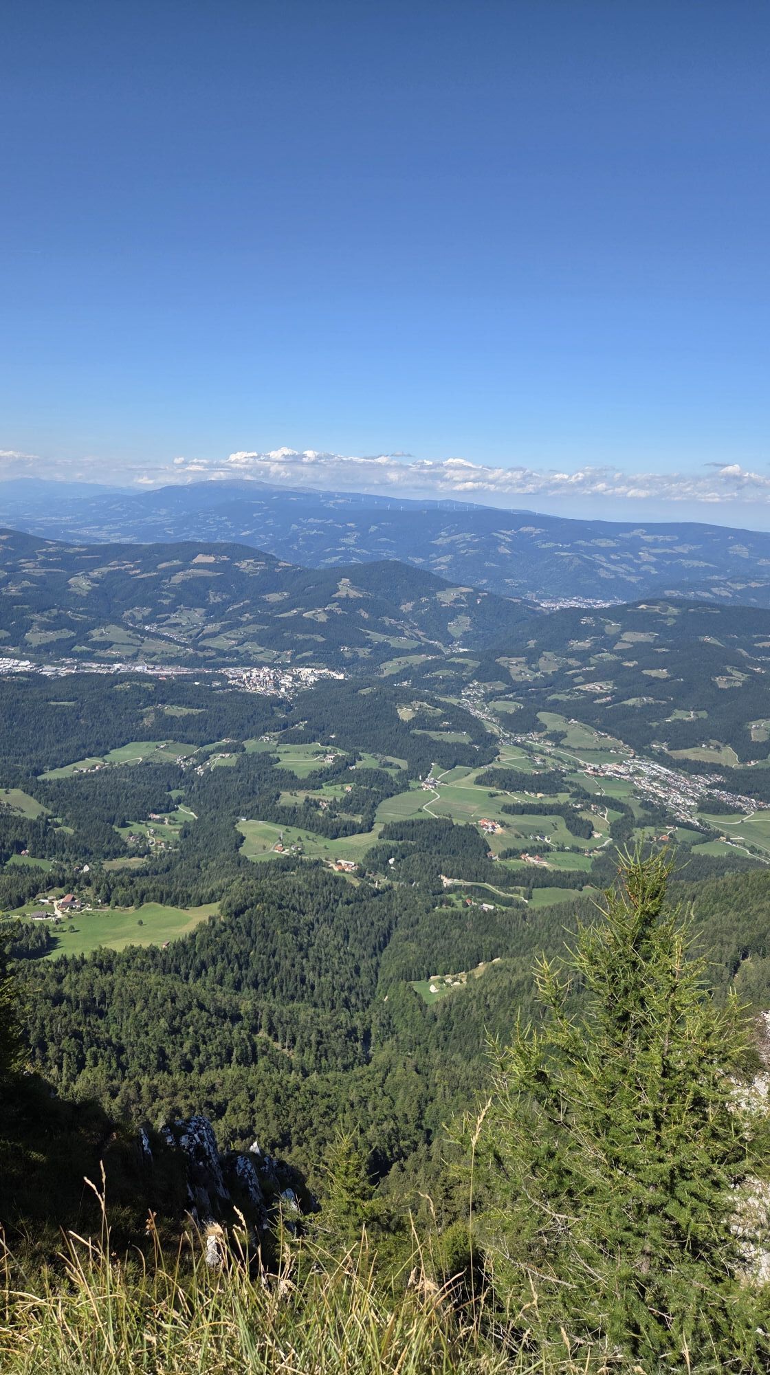
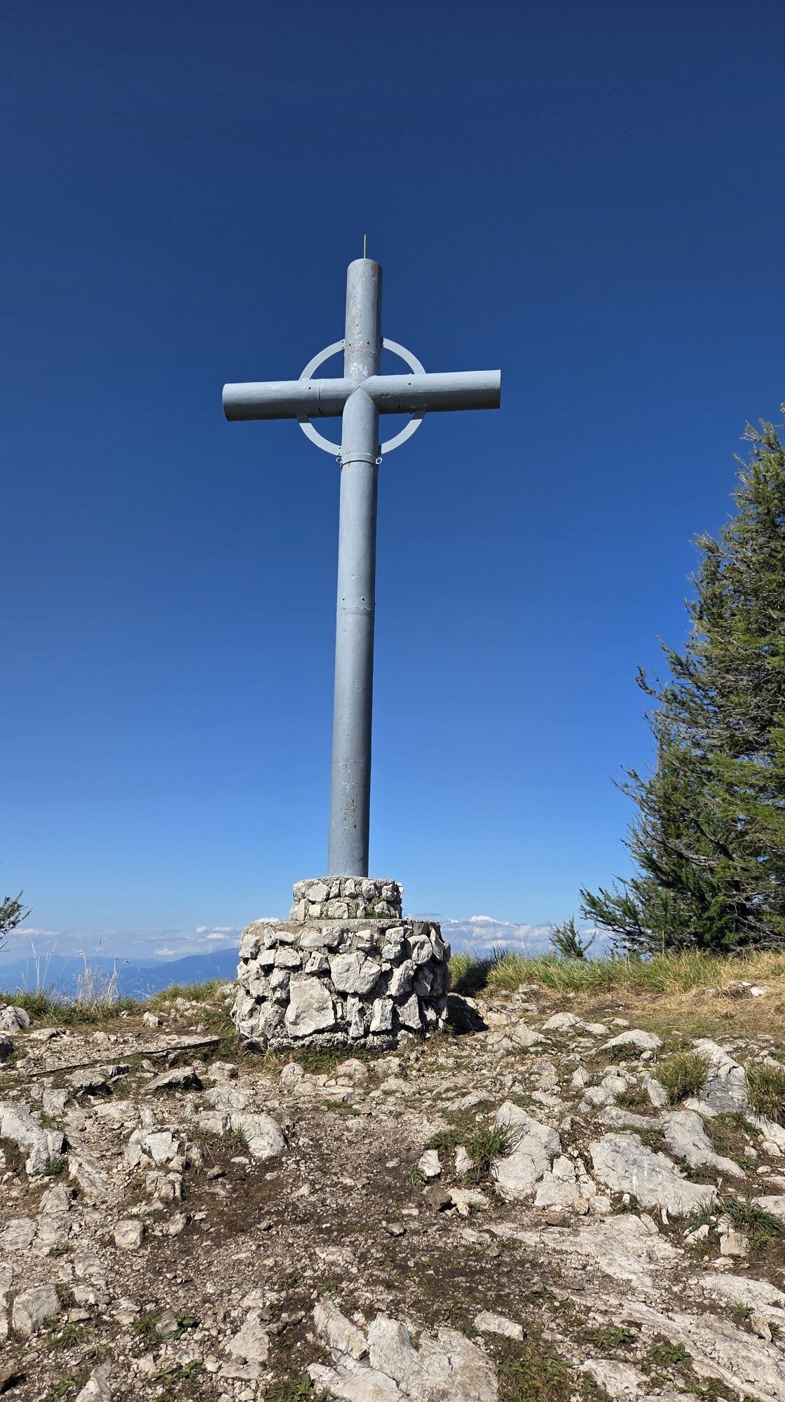
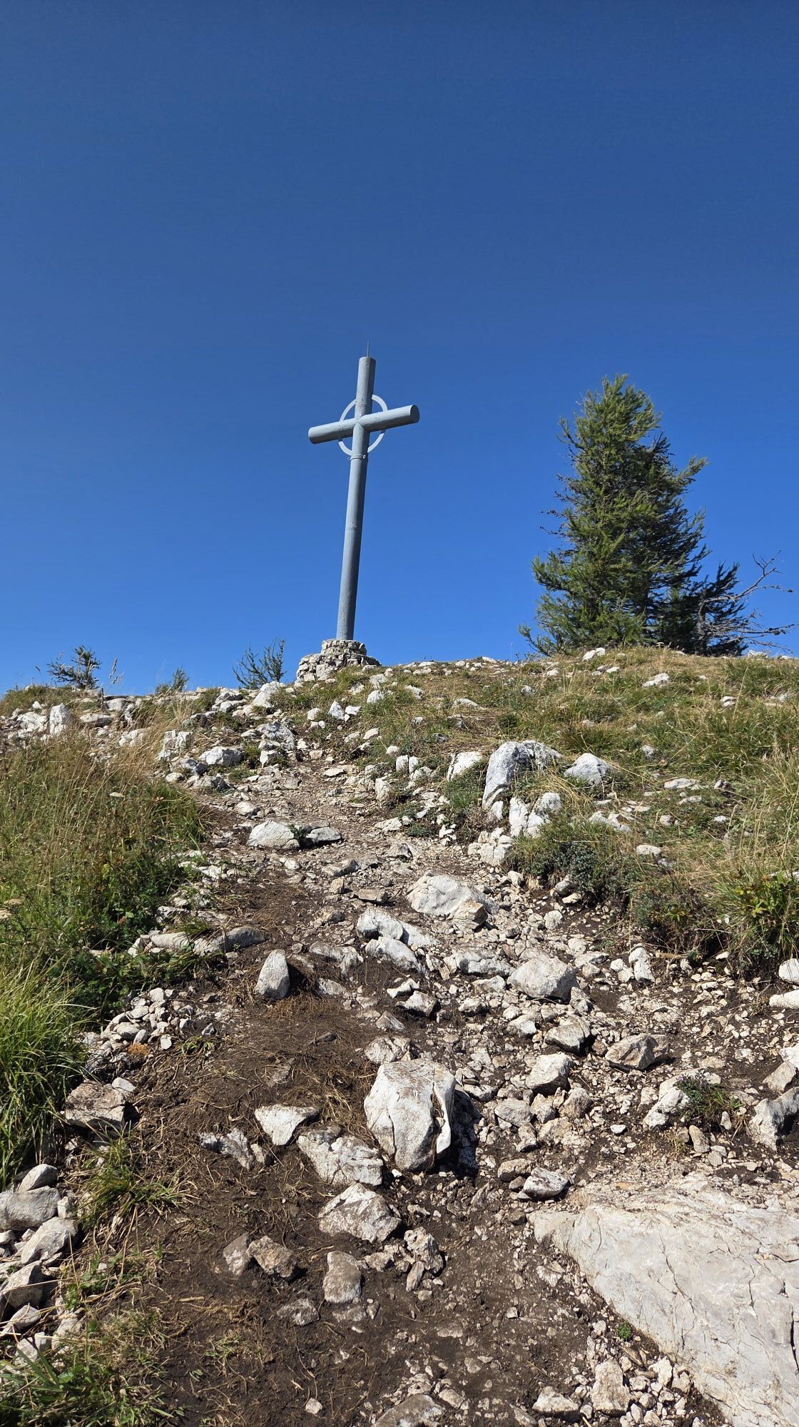
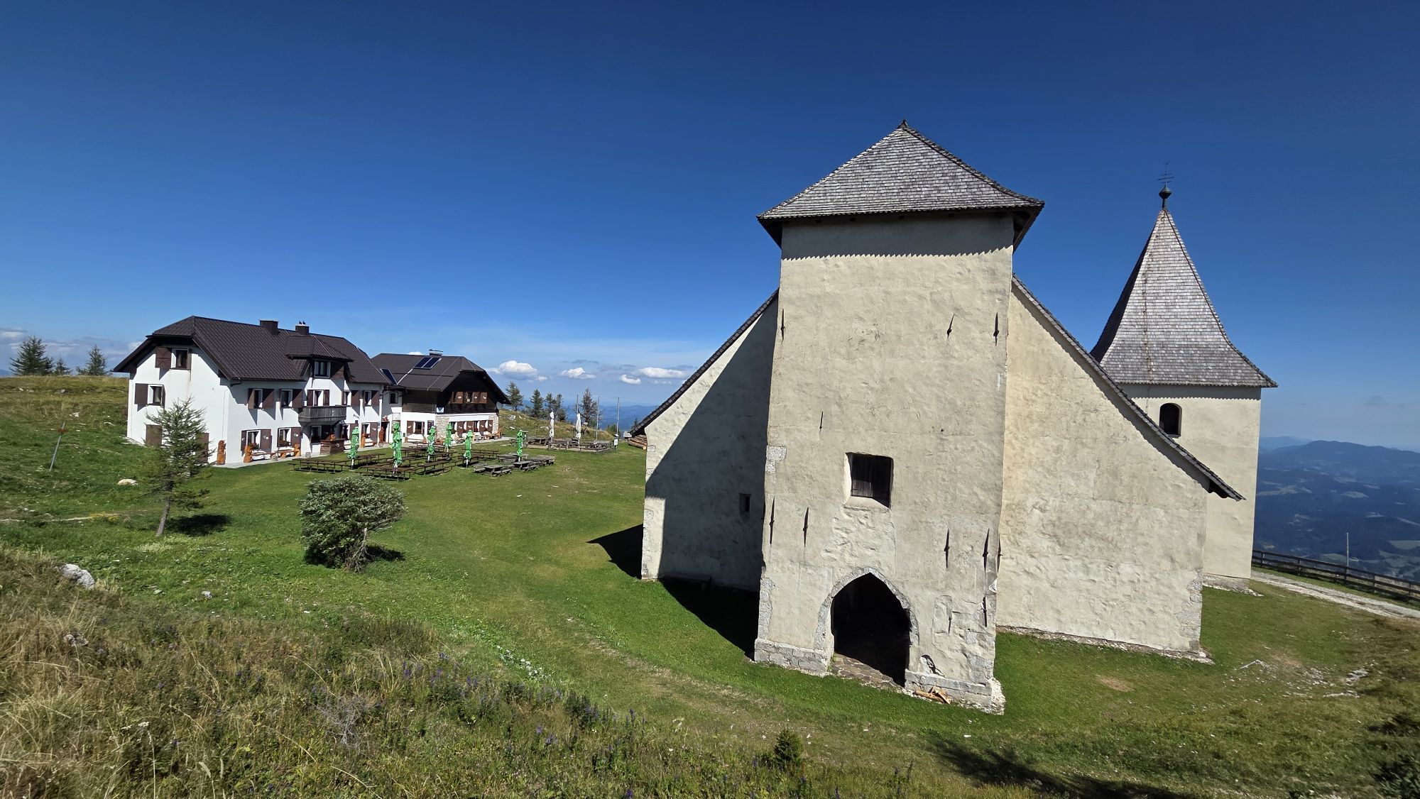
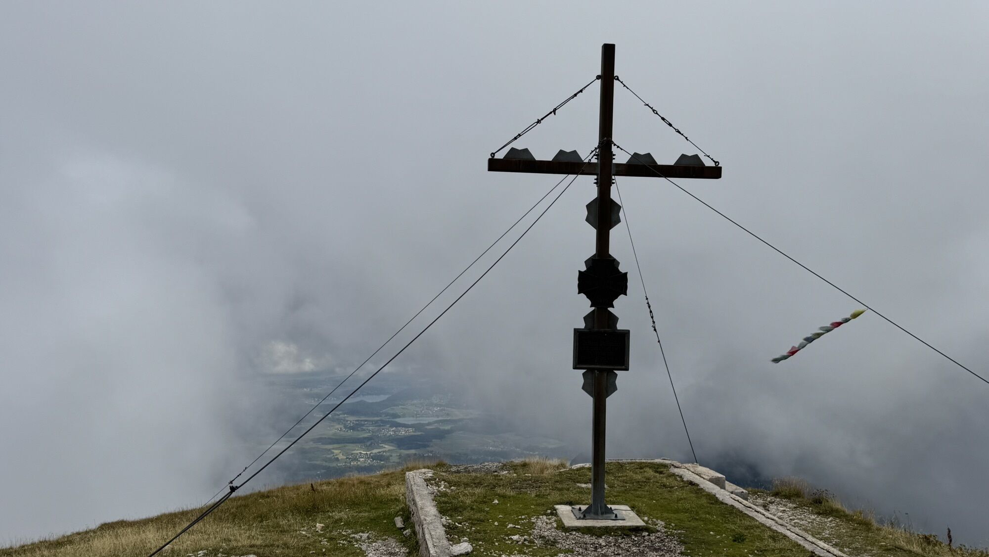
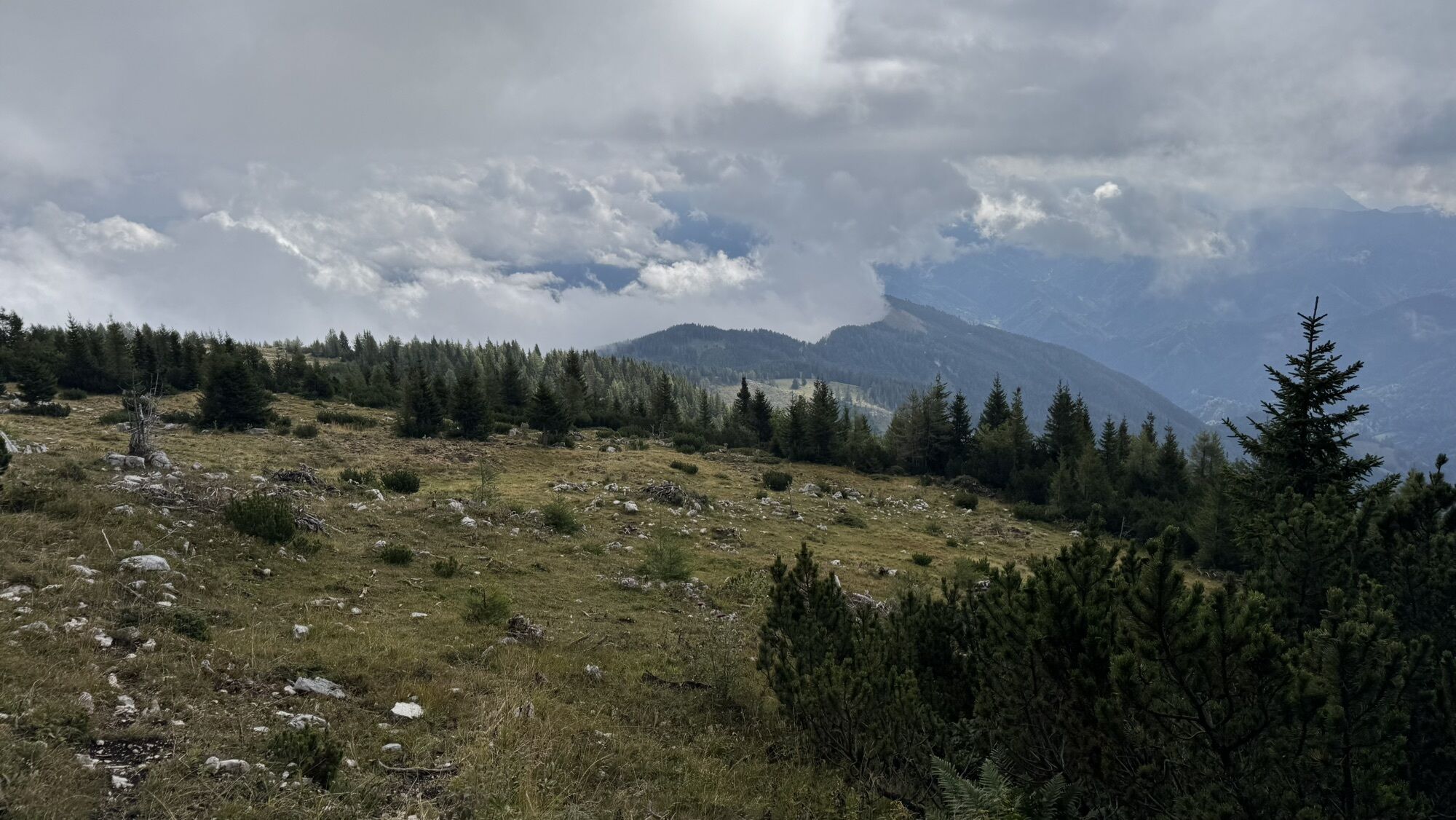
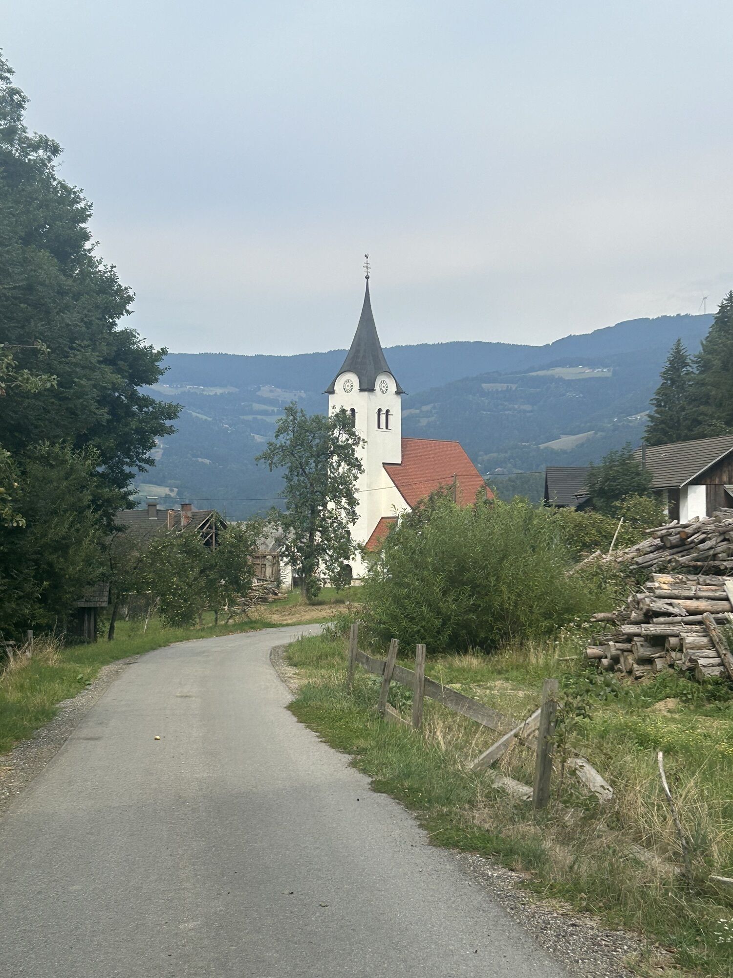
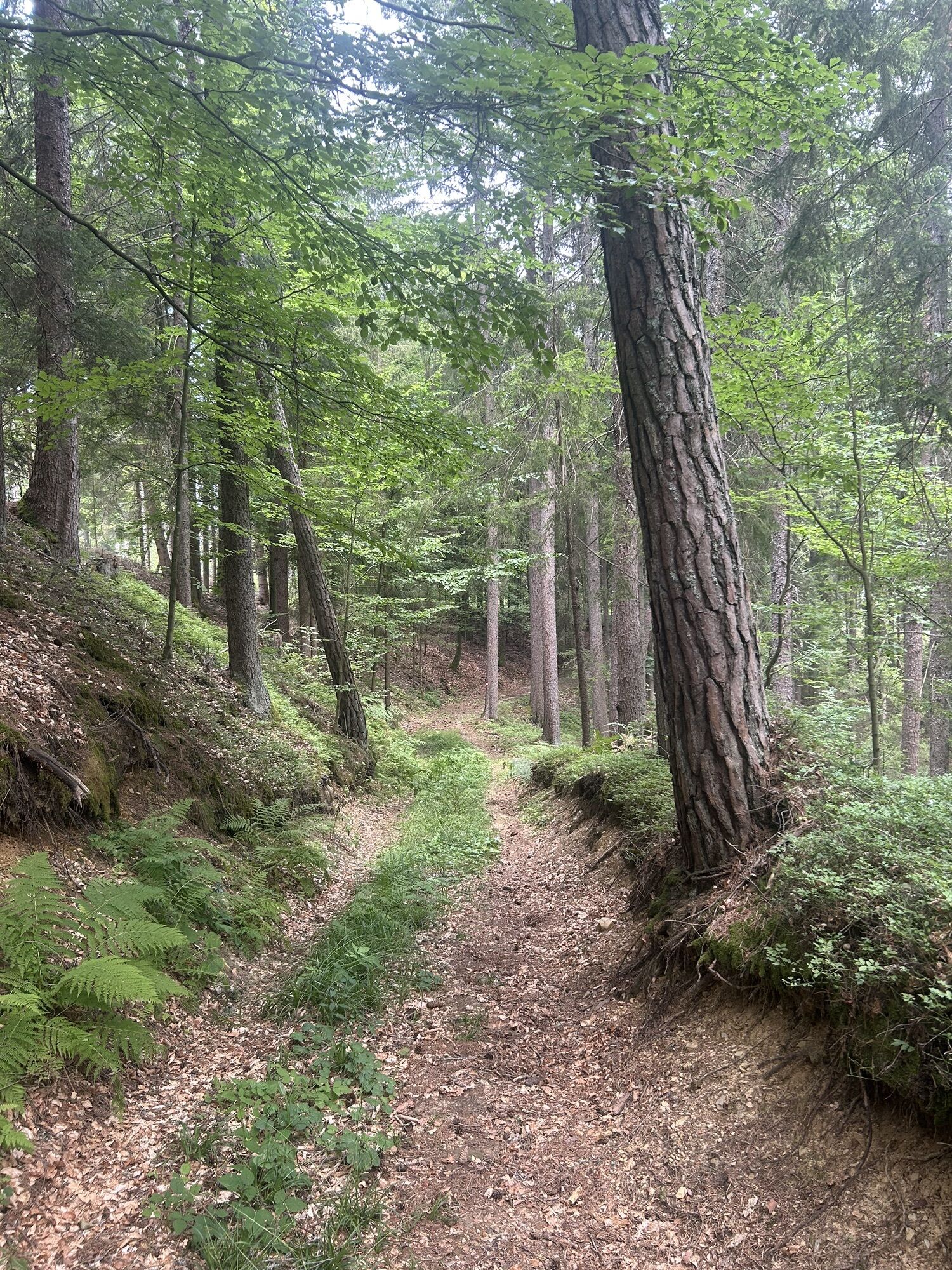
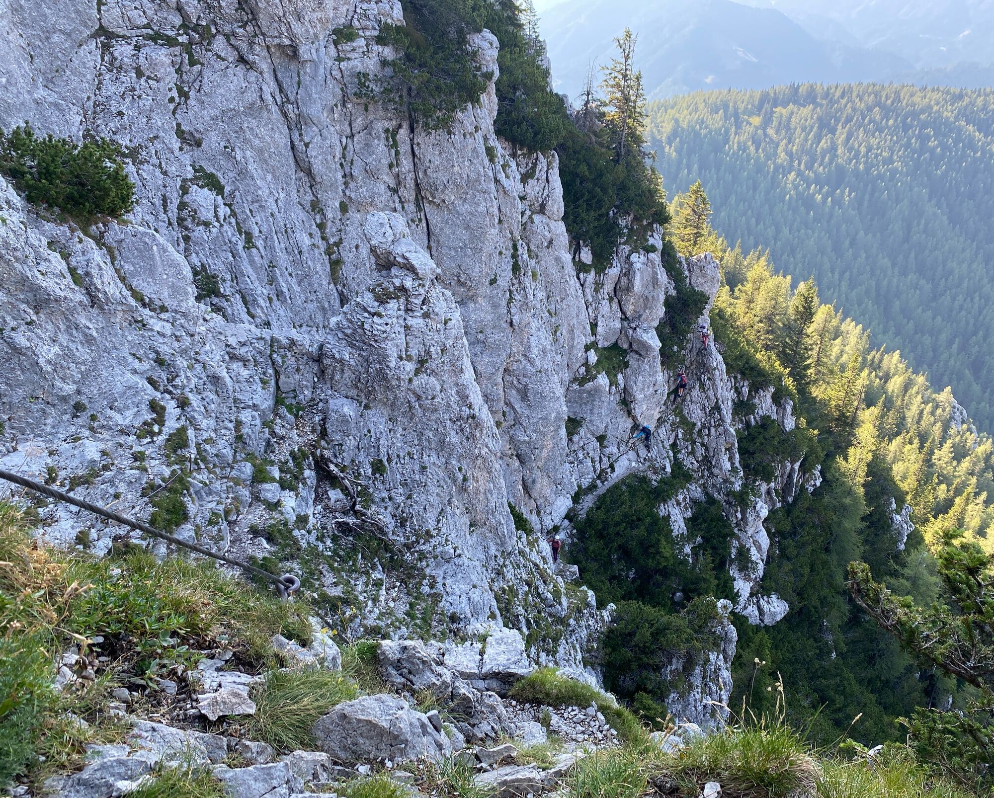
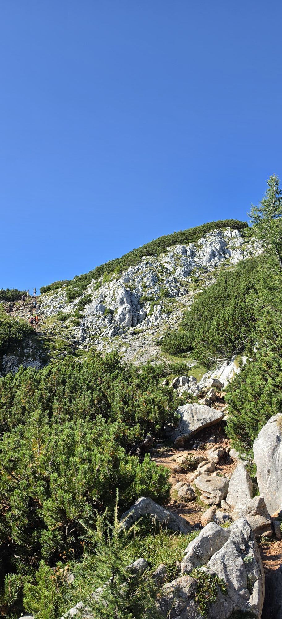
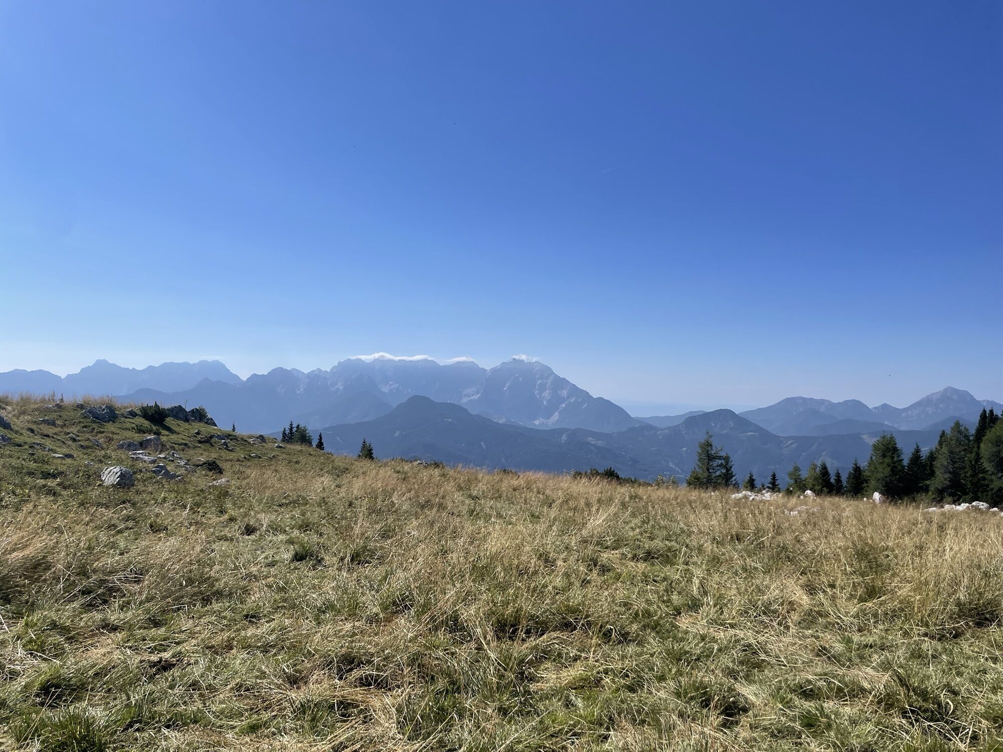
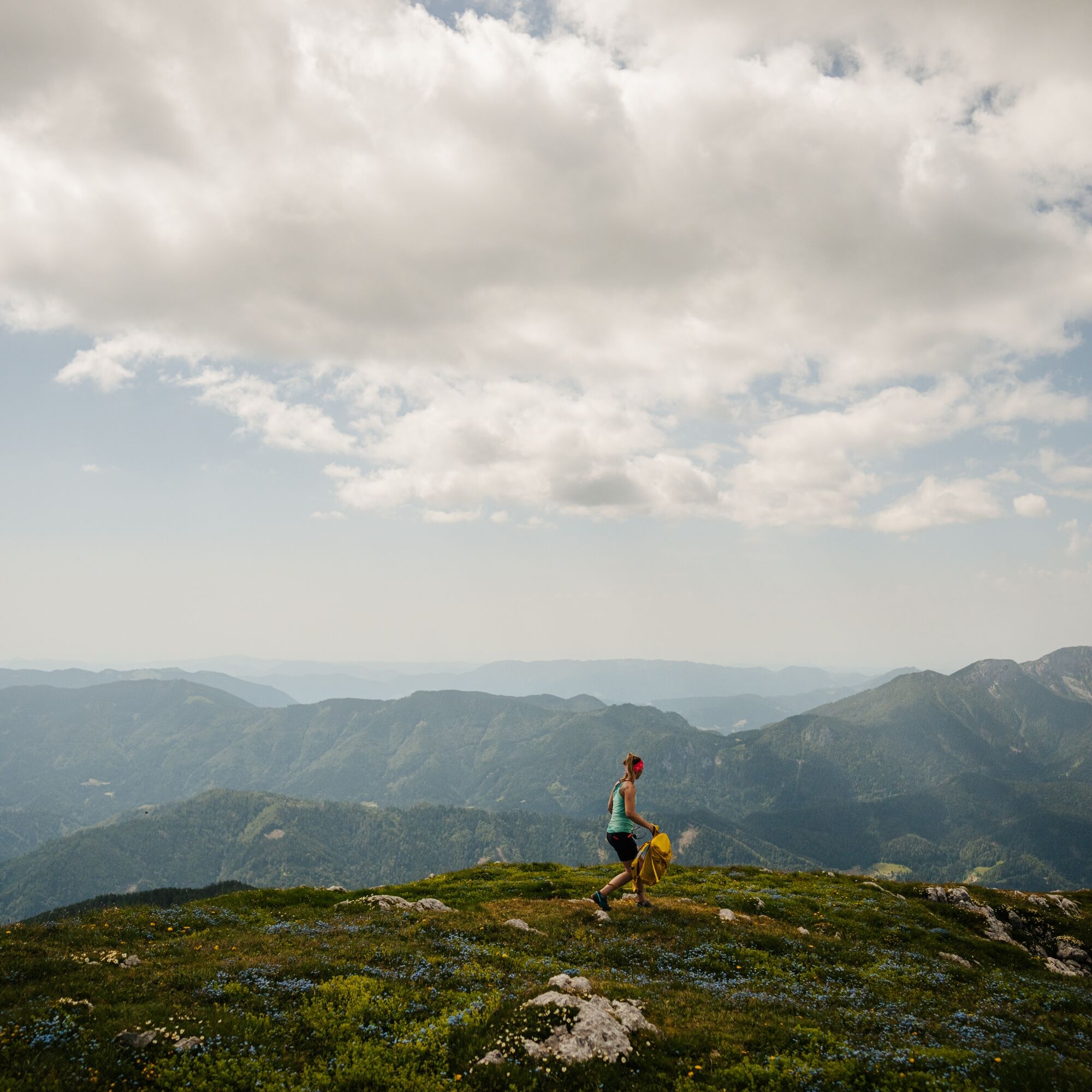
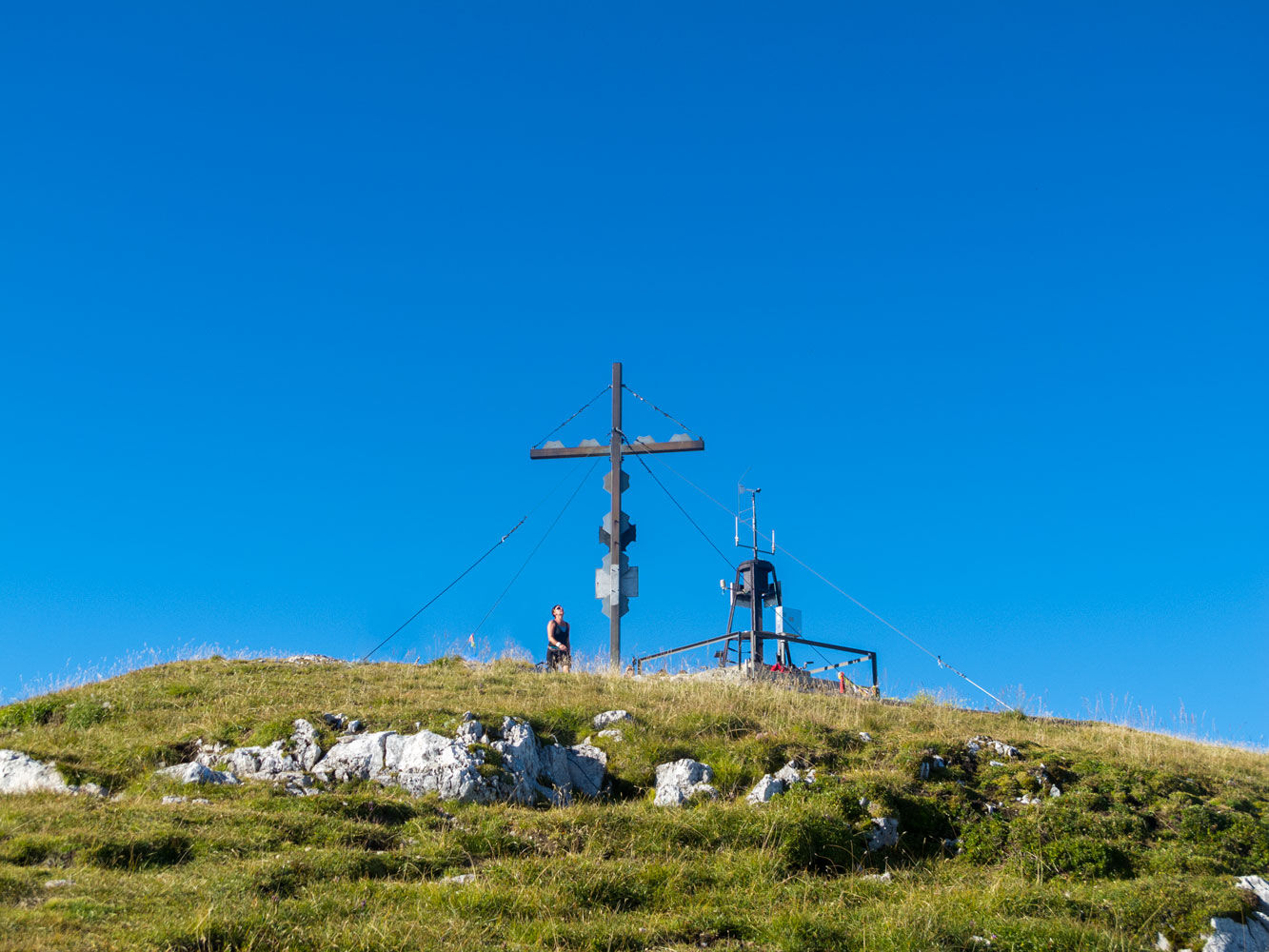
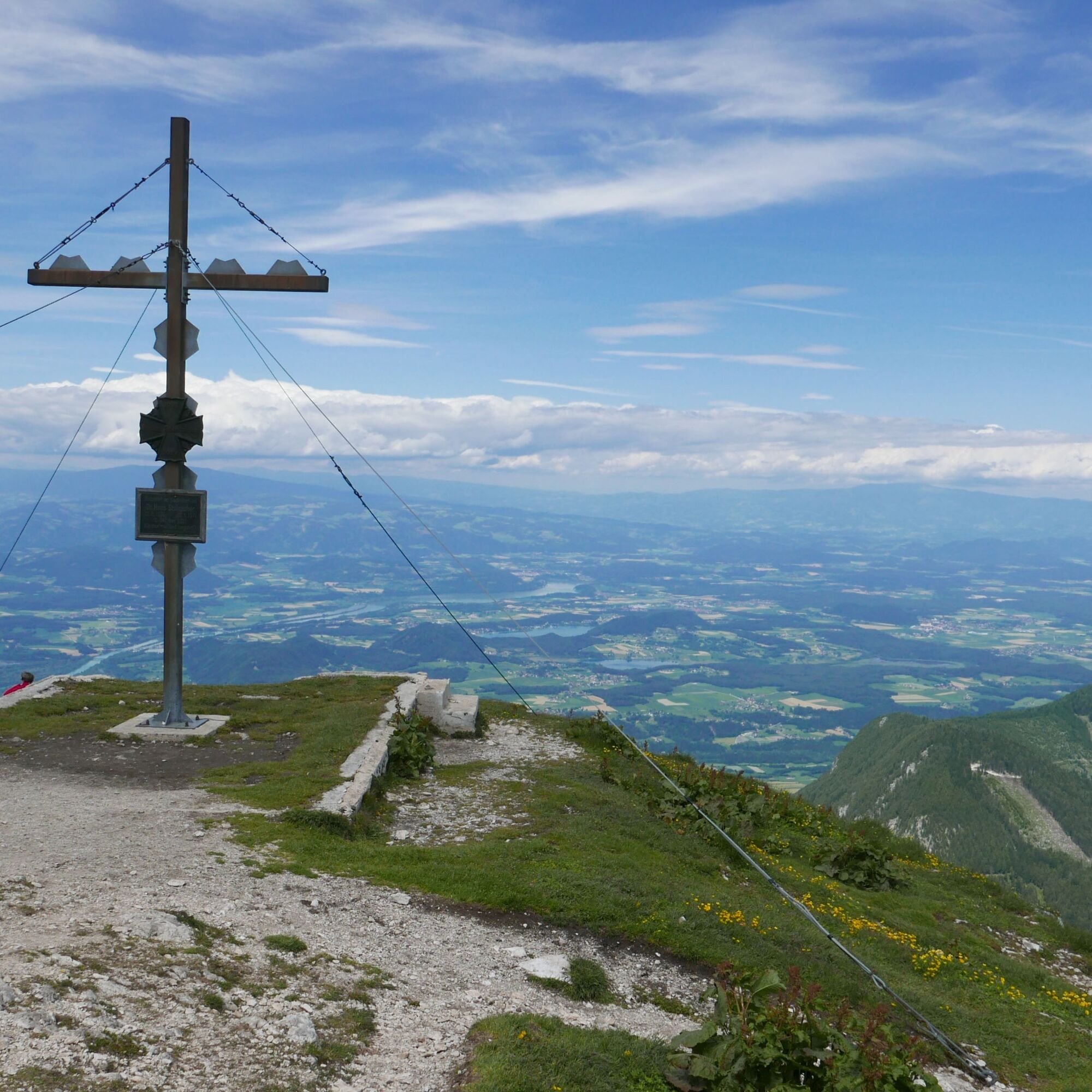
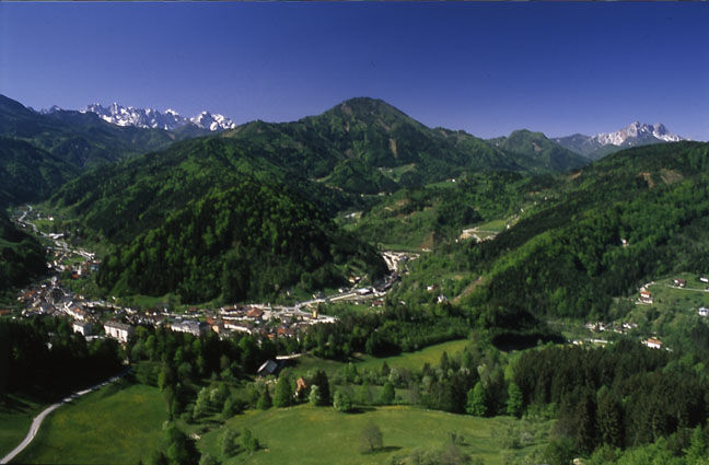
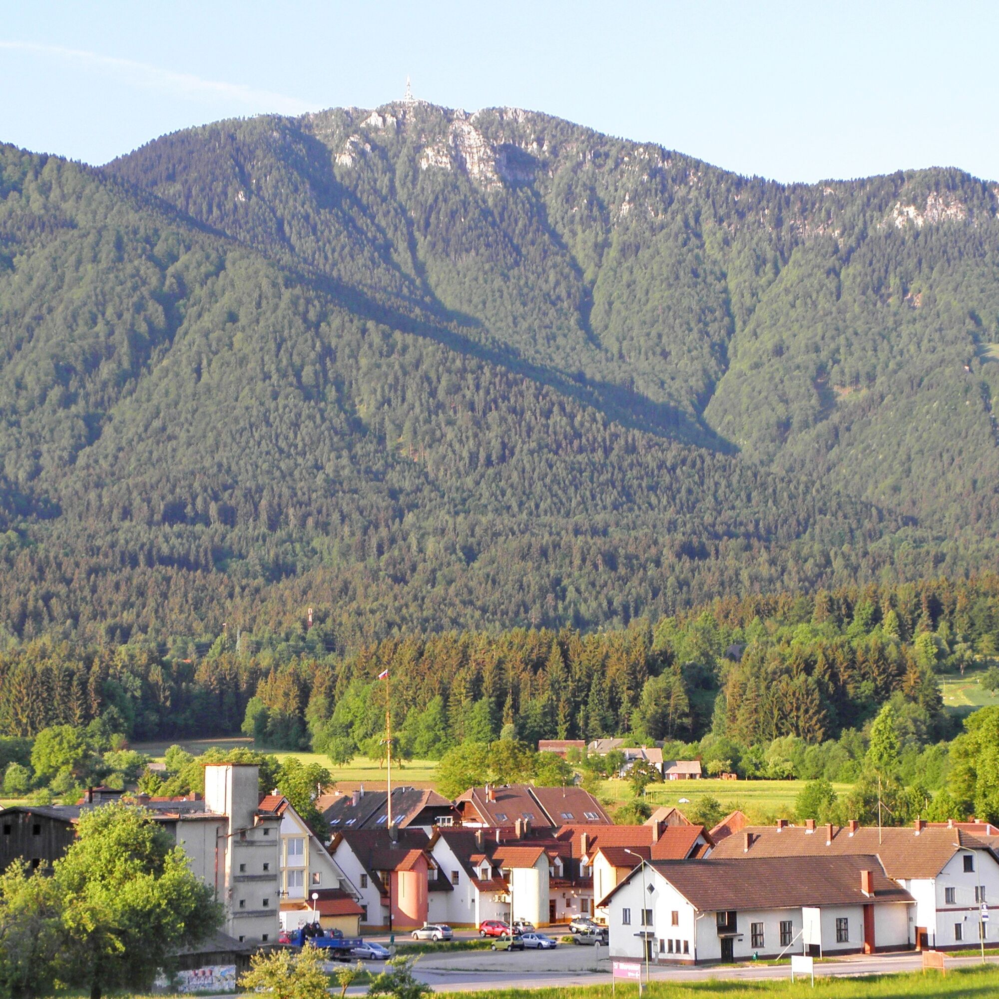
Rugged rocky slopes, rare wet meadows, and the Drau River as your companion: The Karawanken Trail is a path of contrasts. It takes you over three 2,000-meter peaks—Hochobir (2,139 m), Petzen (2,126 m),...
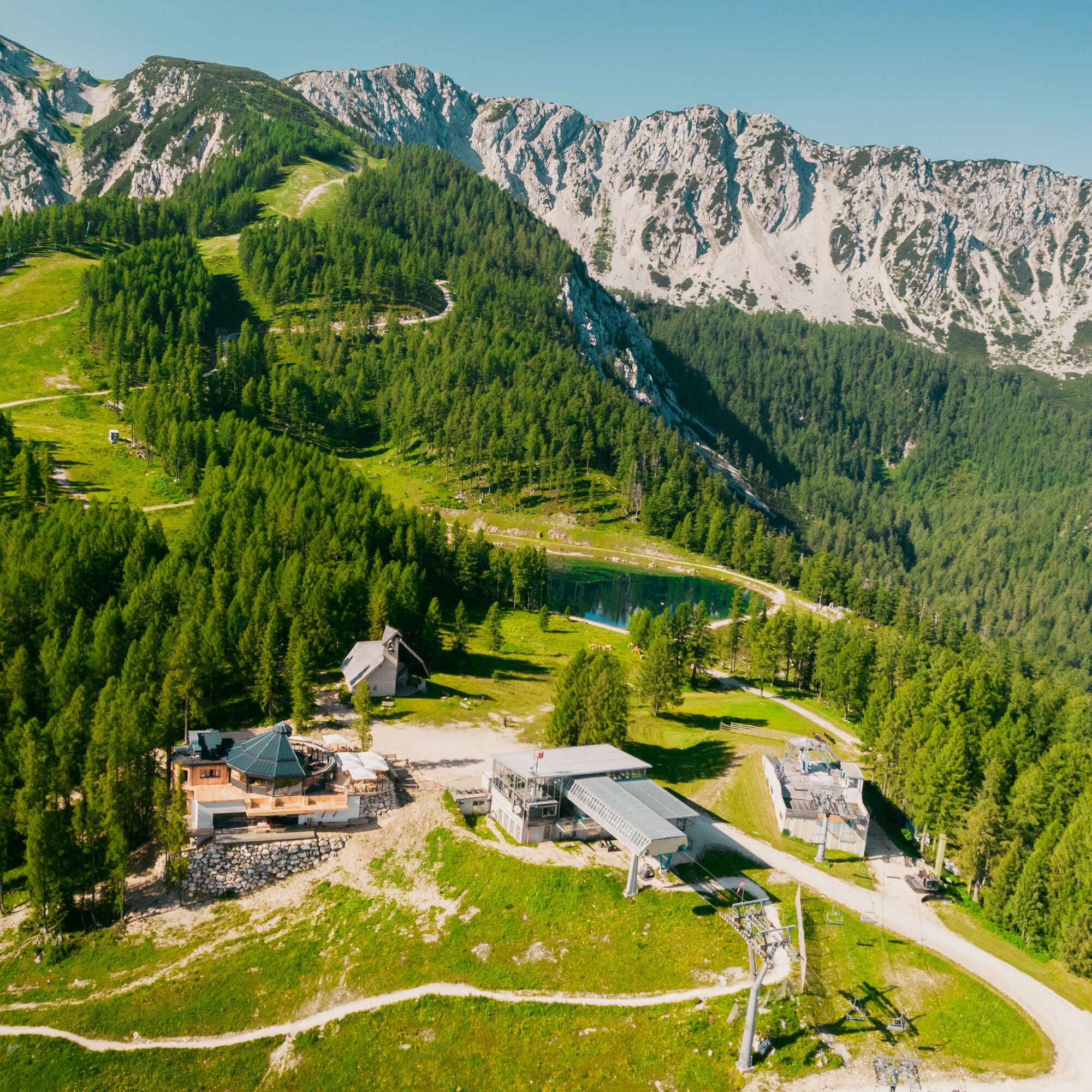
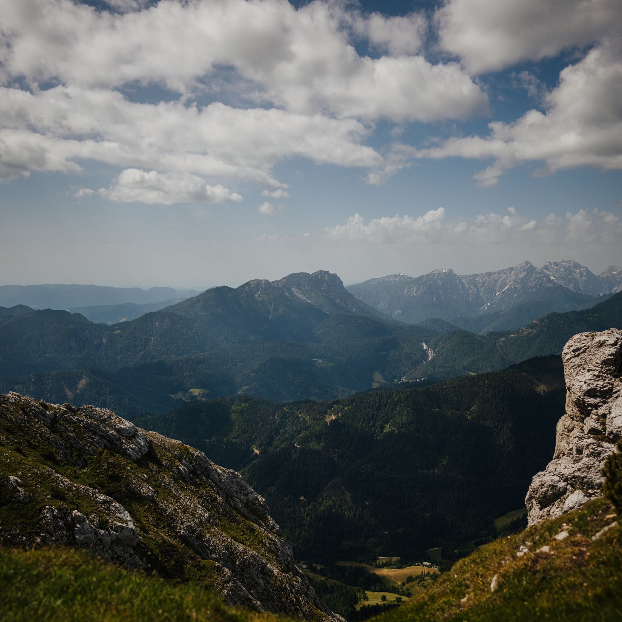
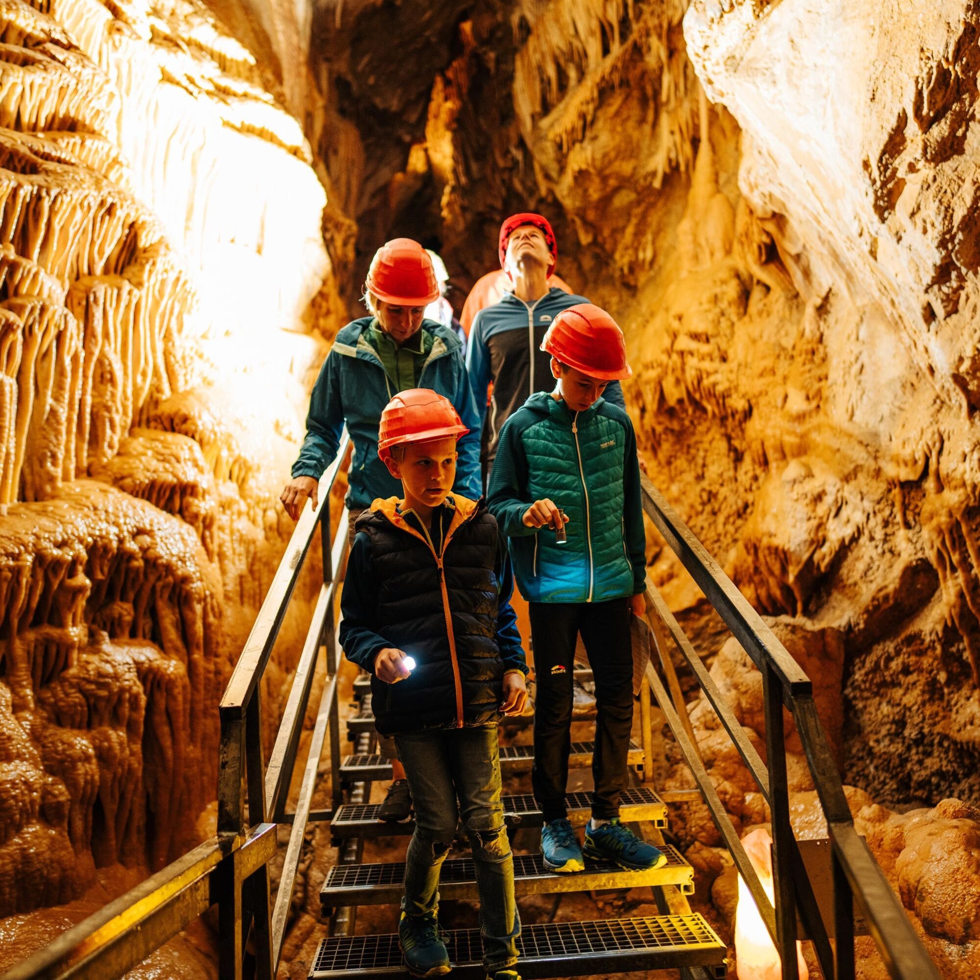
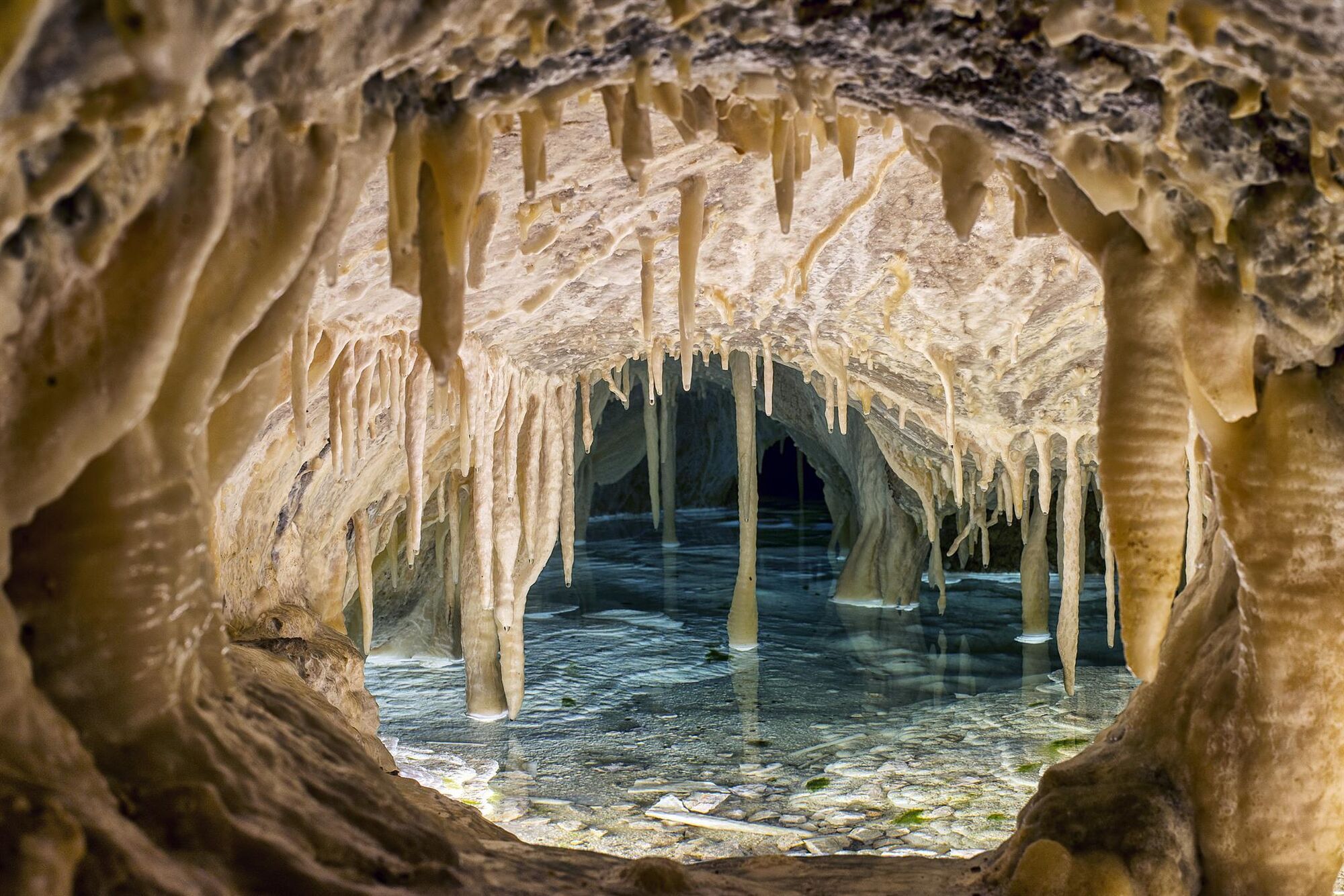
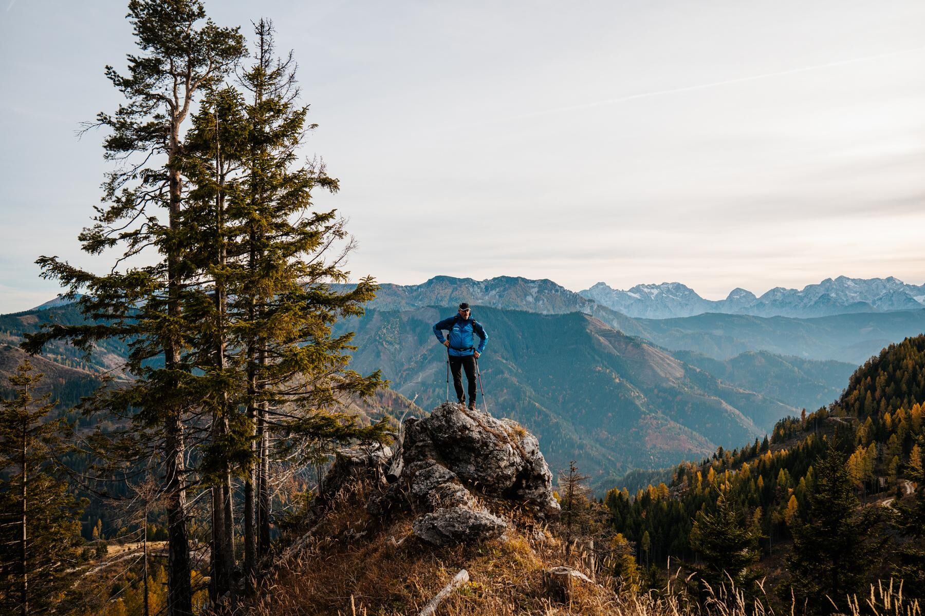
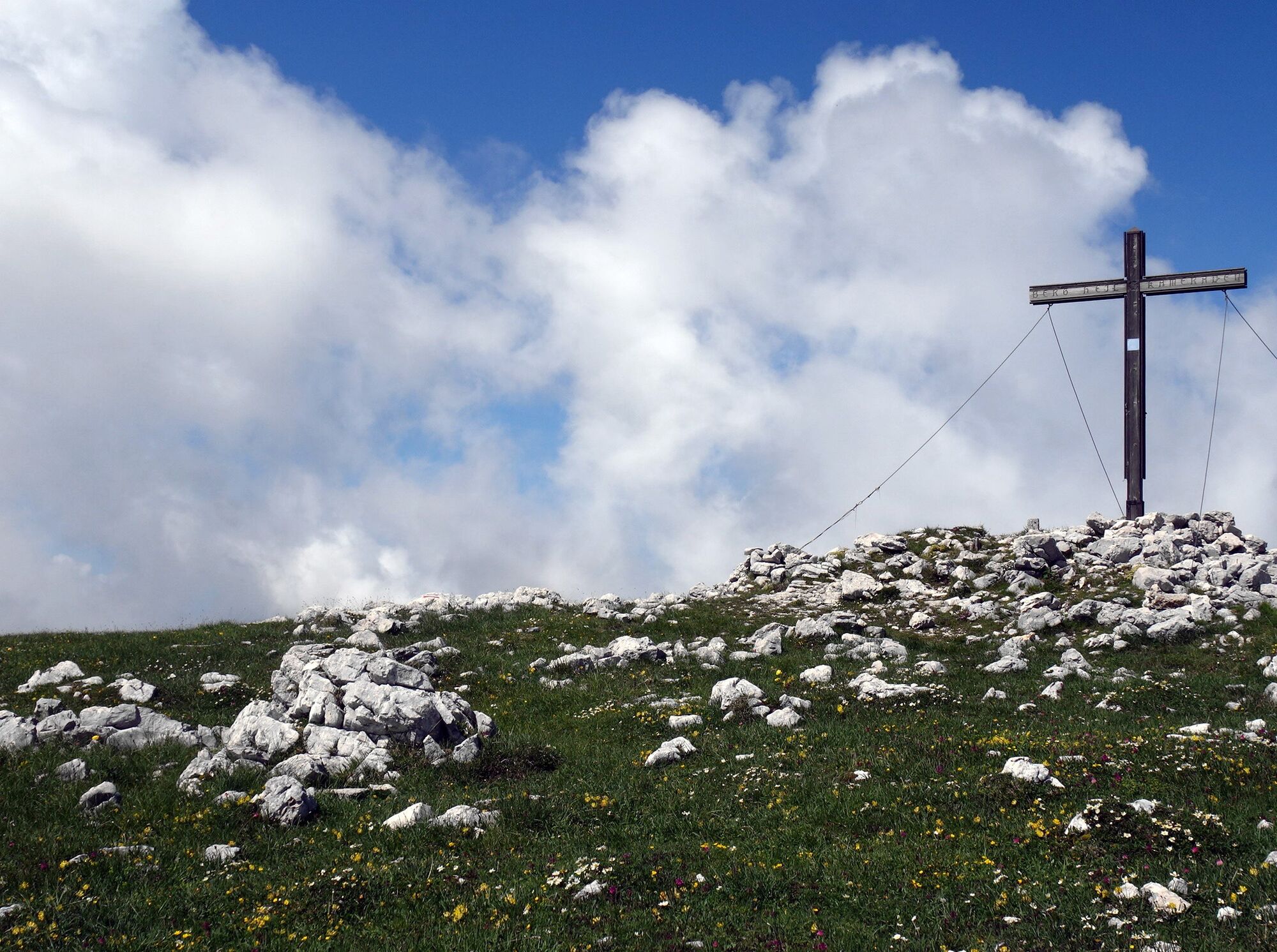
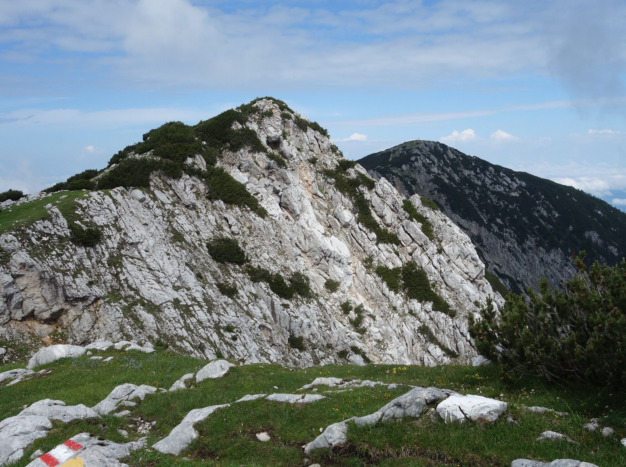
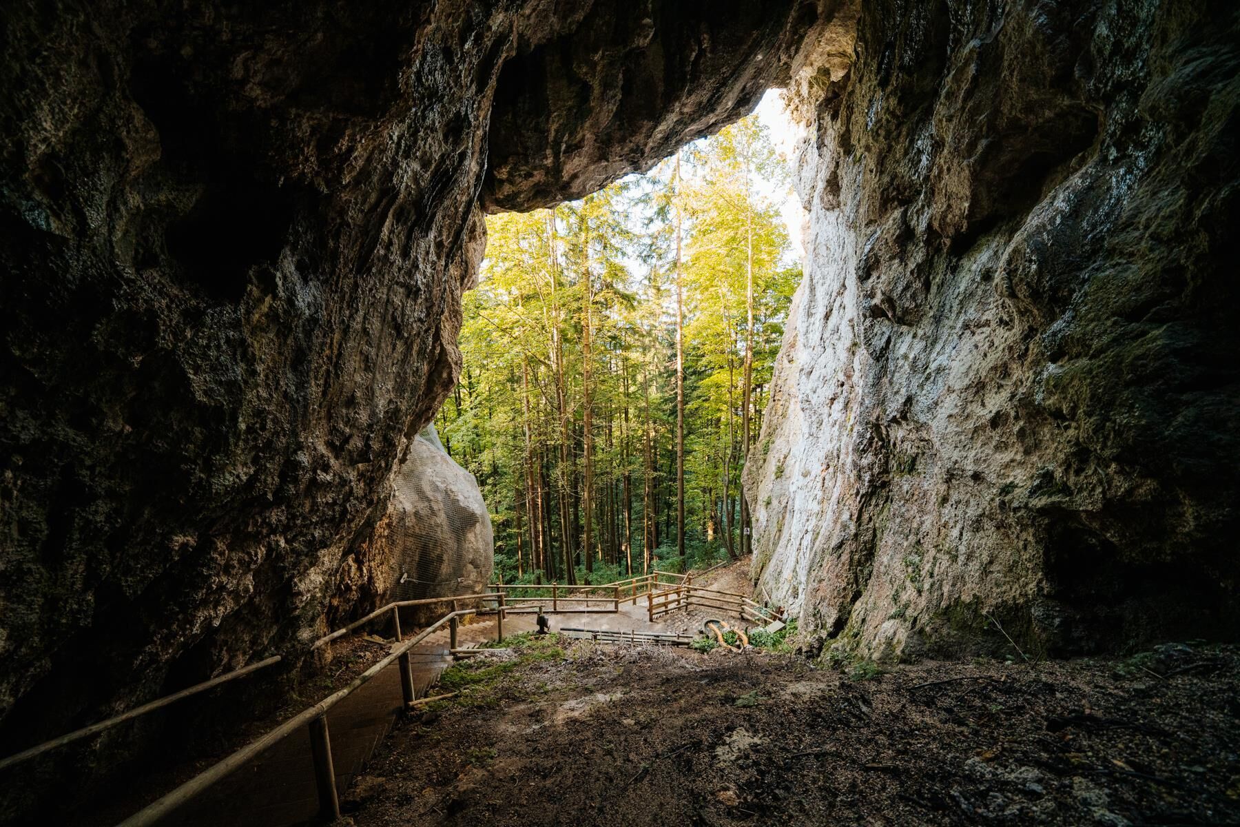
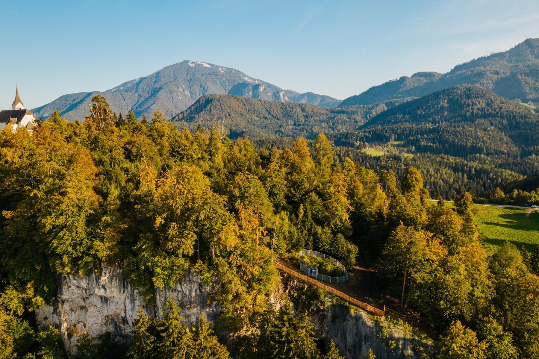
Rugged rocky slopes, rare wet meadows, and the Drau River as your companion: The Karawanken Trail is a path of contrasts. It takes you over three 2,000-meter peaks—Hochobir (2,139 m), Petzen (2,126 m), and Raduha (2,062 m)—and past mysterious depths like the Obir stalactite caves near the route. On the karst mountain Petzen, you’ll hike across a plateau formed by an Ice Age glacier. Inside, the Mežica exhibition mine awaits you, where lead and zinc were mined for over 340 years. And deep within the mountain—so the legend goes—King Matjaž sleeps, waiting for his moment to come.
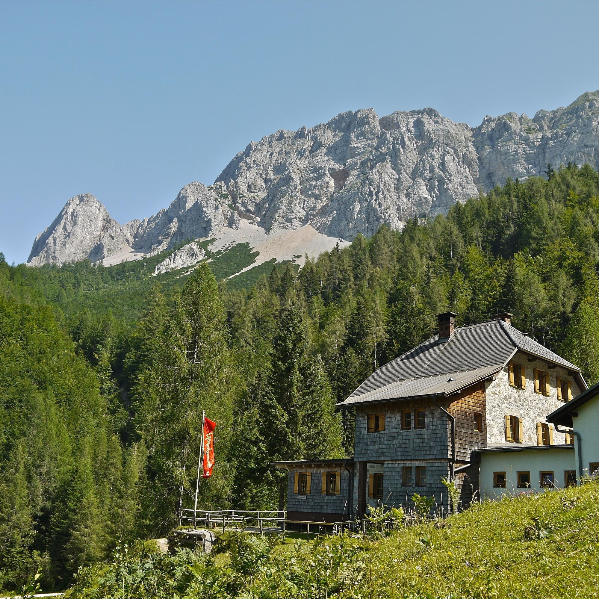
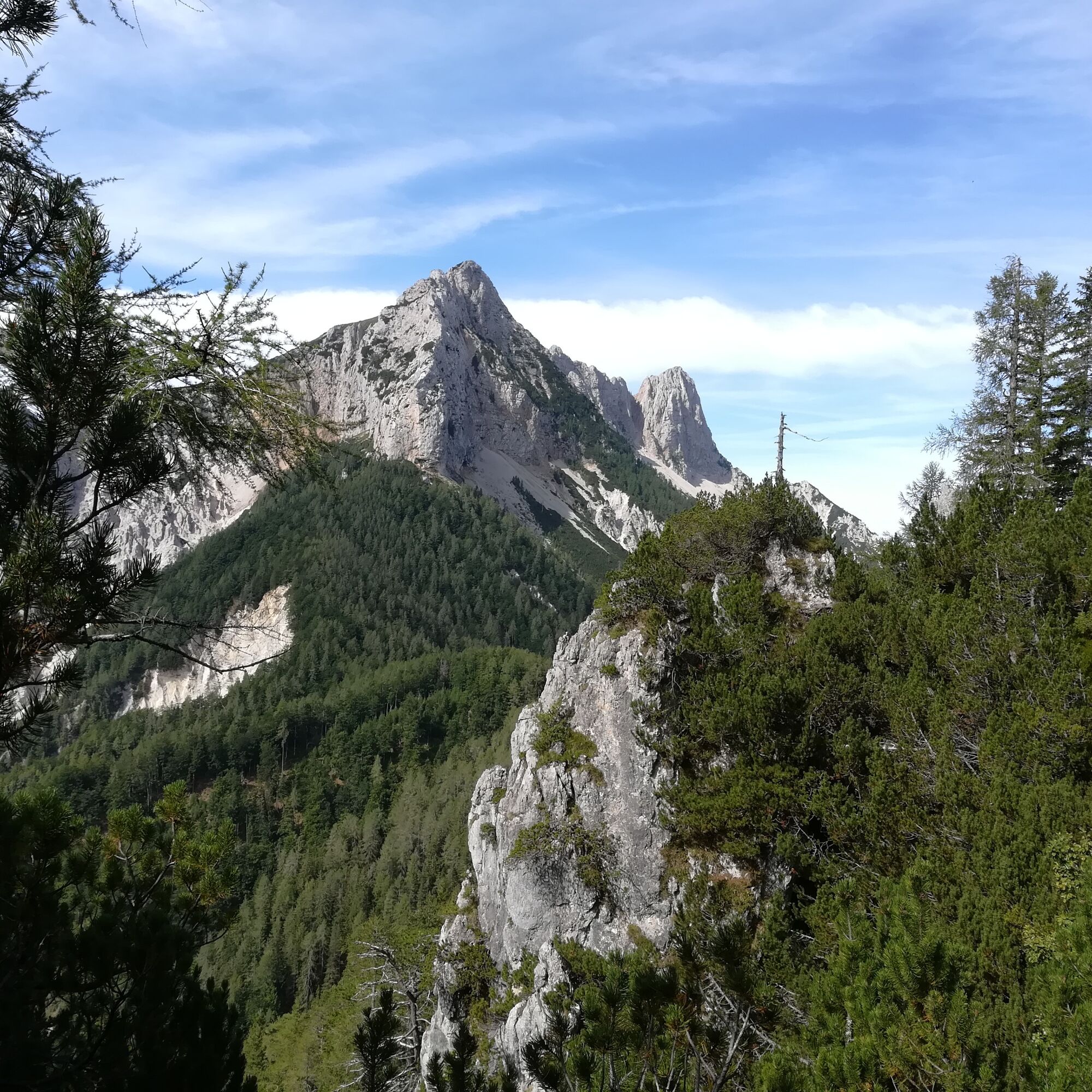
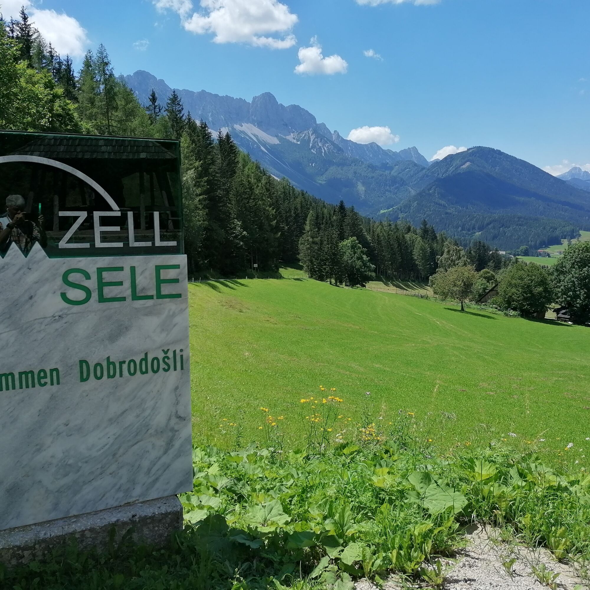
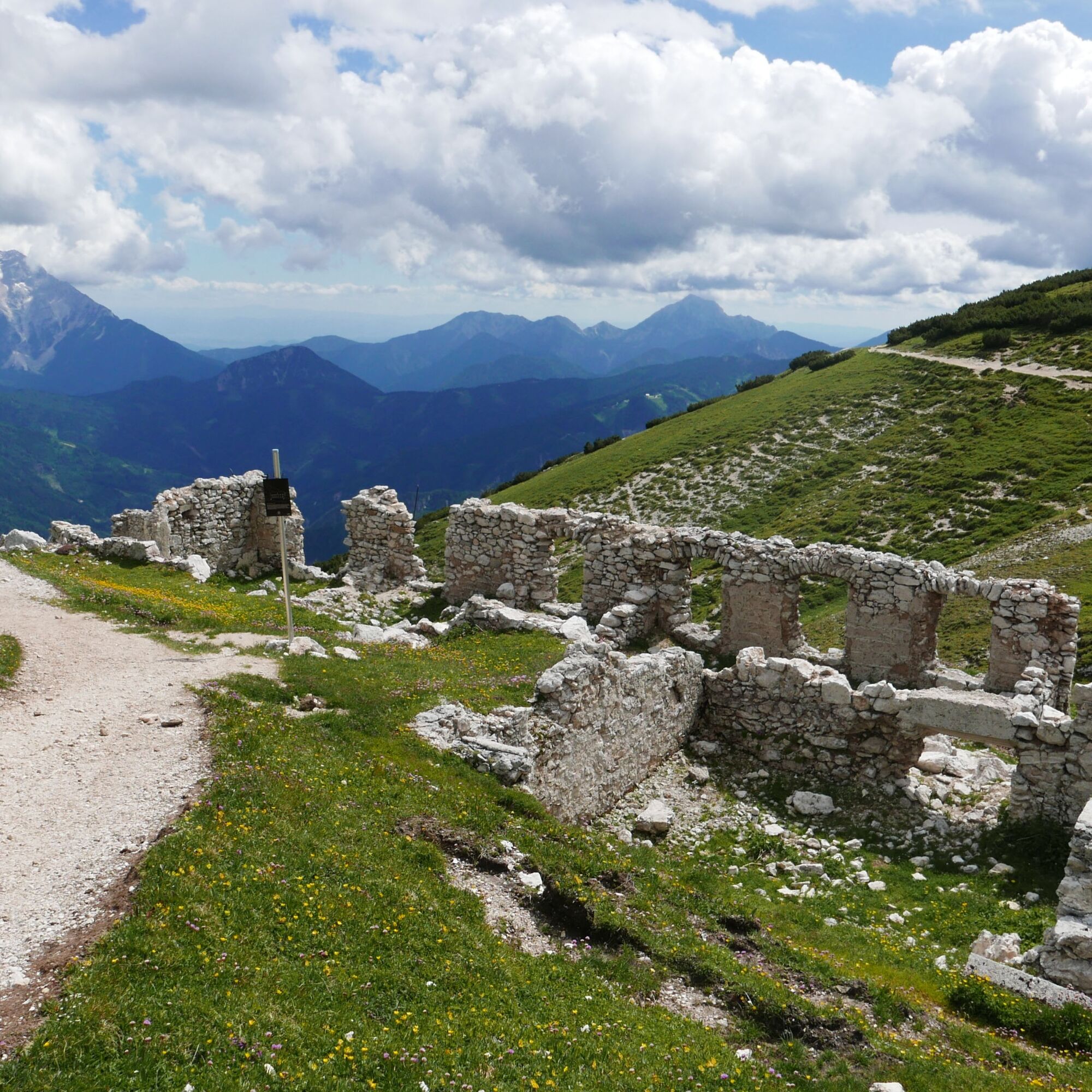

Stage 1: Zell-Pfarre/Sele – Schaidasattel – Hochobir – Eisenkapplerhütte
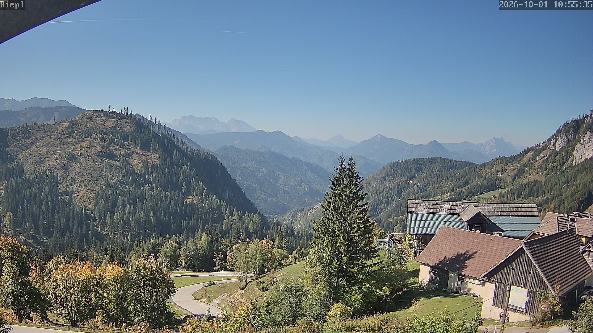
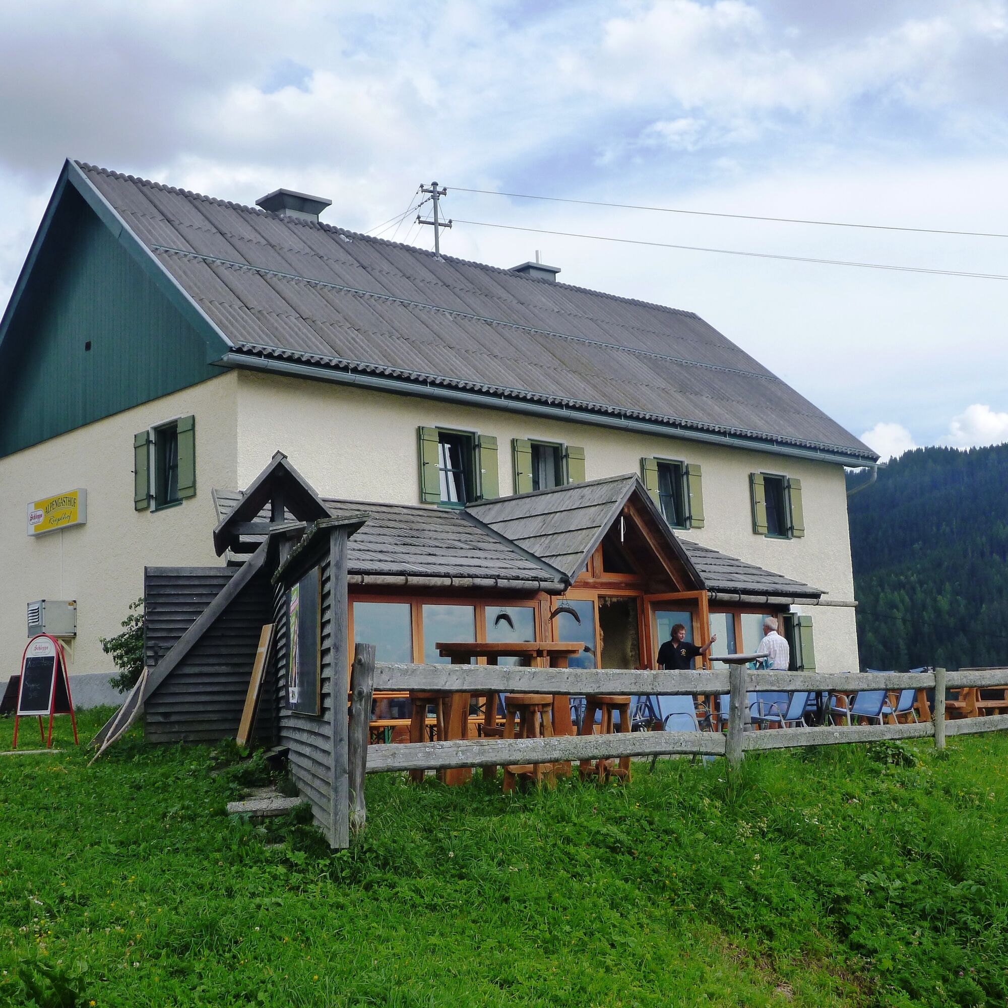
Stage 2: Eisenkapplerhütte – Oistra – Topitza – Alpengasthof Riepl
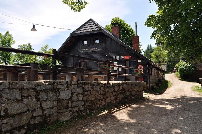
Stage 3: Alpengasthof Riepl – Kordeschkopf – Dom na Peci Mountain Hut
Stage 4: Dom na Peci Mountain Hut – Topla – Sv. Ana – Sv. Jakob – KoÄa v Grohotu Mountain Hut
Stage 5: KoÄa v Grohotu Mountain Hut – Raduha – Dom na Smrekovcu Mountain Hut
Stage 6: Dom na Smrekovcu Mountain Hut – Ärna na Koroškem – Pikovo – Mežica
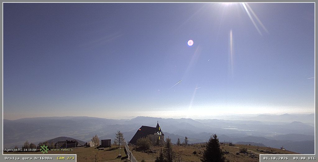
Stage 7: Mežica – Volinjak – Leše – Dom na Uršlji gori Mountain Hut
Stage 8: Dom na Uršlji gori Mountain Hut – Ravne na Koroškem – Dravograd
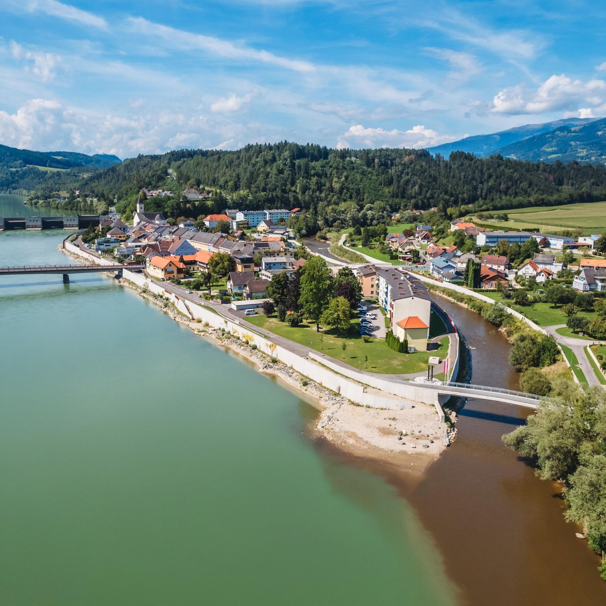
Stage 9: Dravograd – Hühnerkogel – Lavamünd
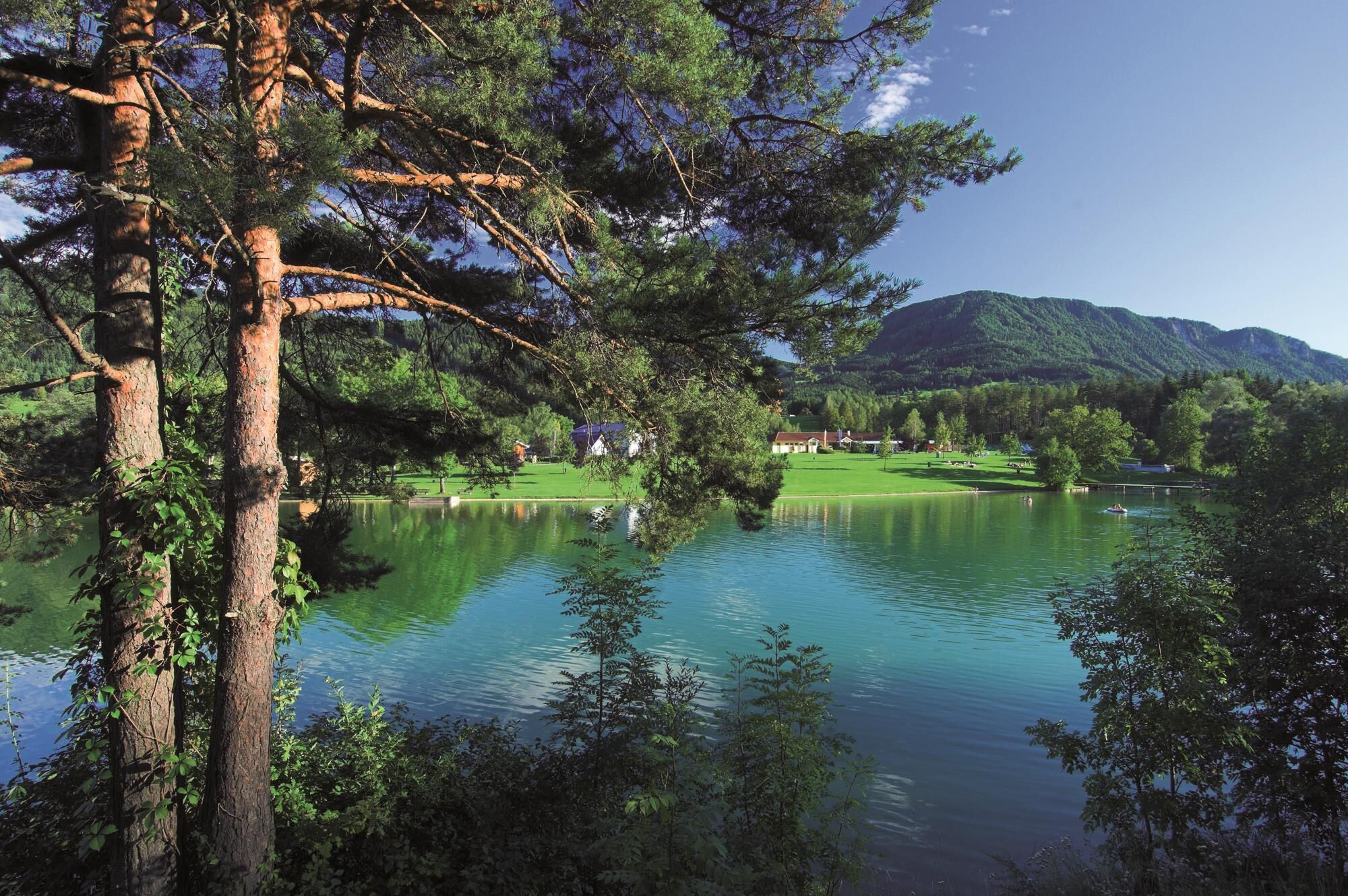
Stage 10: Lavamünd – Kömmel – Lake Pirkdorf
Stage 11: Lake Pirkdorf – Hemmaberg – Gallizien
Stage 12: Gallizien – Kleinobir – Freibacher Reservoir
Stage 13: Freibacher Reservoir – Mejniksattel – Zell-Pfarre/Sele
https://m.geopark-karawanken.at/content/13300
Da
Da
Da
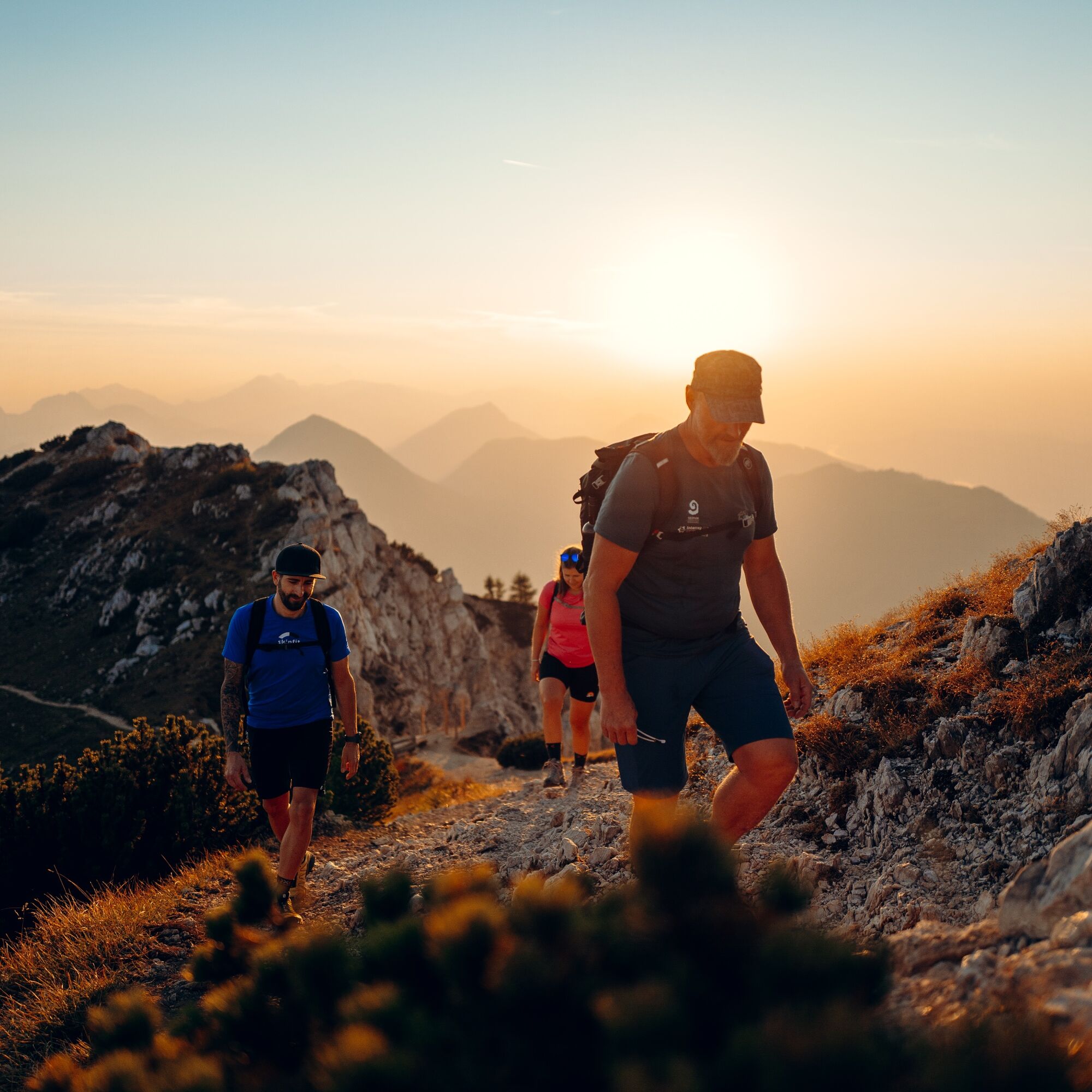
Hiking in the Karawanken requires alpine experience: The trail is intended for hikers in excellent physical condition. Technically, the 13 stages alternate between easy trails and alpine ascents; on some sections, surefootedness is required on exposed terrain.
https://www.kaernten.at/service/anreise/
https://www.kaernten.at/service/anreise/
T2
You are traveling along the border between Austria and Slovenia and, geologically speaking, between the European and African tectonic plates.
Spletne kamere s turneje

Priljubljeni izleti v okolici
- 4.0
Upper Petzen circular route
srednjaPohodništvo 7.30 km - 4.6
Flow Country Trail - MTB ZONE Bikepark Petzen
srednjaMountainbike 10.7 km - 4.7
Wanderung auf den Knieps
svetlobaPohodništvo 5.49 km - 3.1
Lavamünd: plezalni park in plezalna pot Dreifaltigkeitsfelsen
srednjaVia ferrata 1.11 km - 4.5
Petzen
srednjaSmučarska tura 13.3 km - 5.0
Völkermarkt: Feistritzer Spitze
Pohodništvo 10.1 km - 4.2
Kordeschkopf 2.126m, Knieps 2.110m, Feistritzer Spitze (Hochpetzen) 2.113m & Wackendorfer Spitze 2.079m im Petzenland
težkoPohodništvo 20.9 km - 4.8
Petzen Runde
srednjaPohodništvo 13.4 km - 4.0
Petzen
srednjaSmučarska tura 14.8 km - 5.0
Knieps
srednjaPohodništvo 2.13 km
Pohodništvo in sledenje


Ne zamudite ponudb in navdiha za naslednje počitnice
Vaš e-poštni naslov je bil dodan na poštni seznam.





