






Lake Loop: Lake Klopein - Klagenfurt - St.Veit an der Glan
Stopnja težavnosti: 1
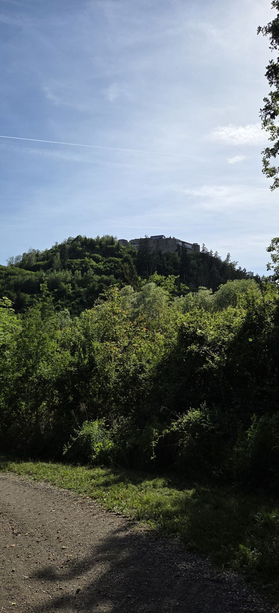
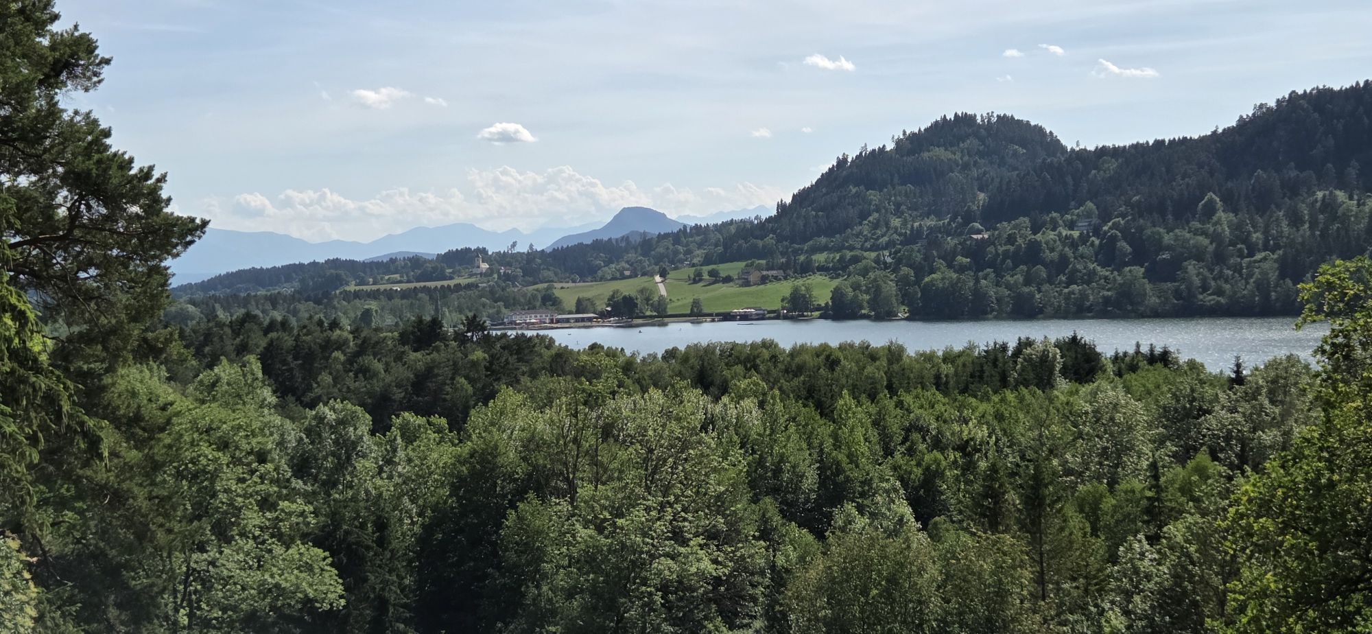
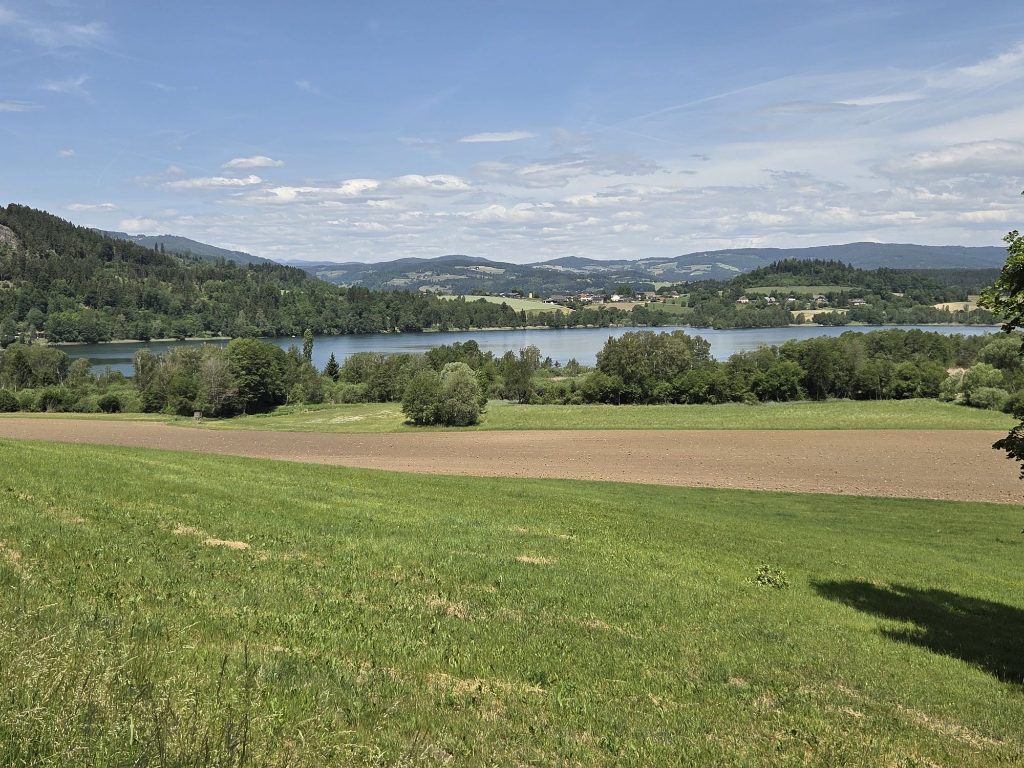
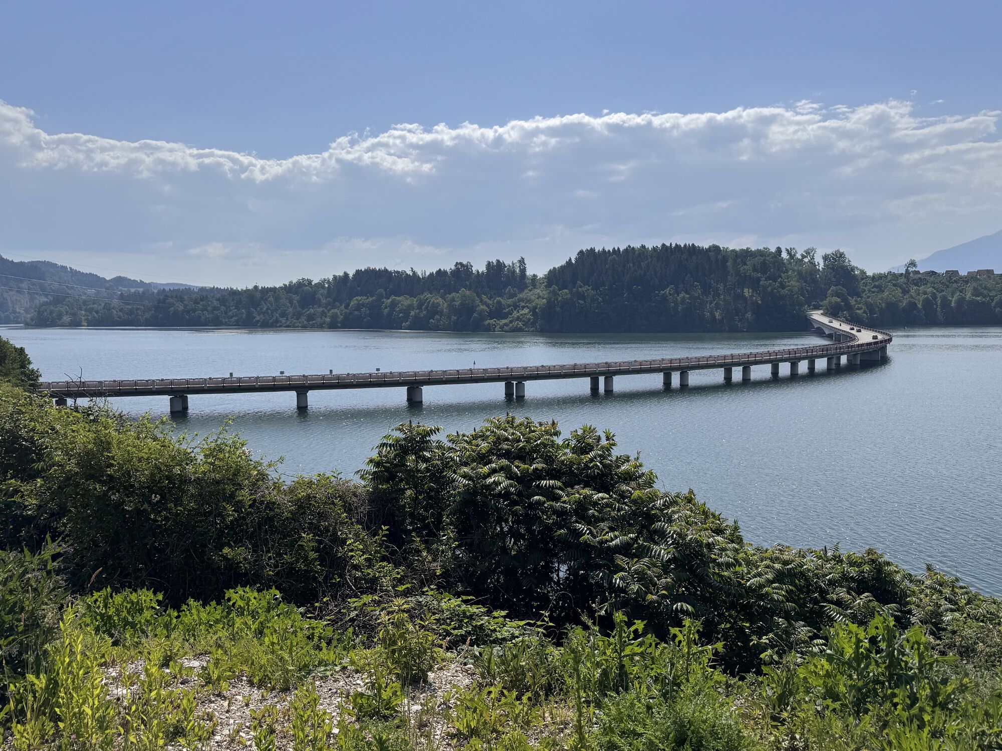
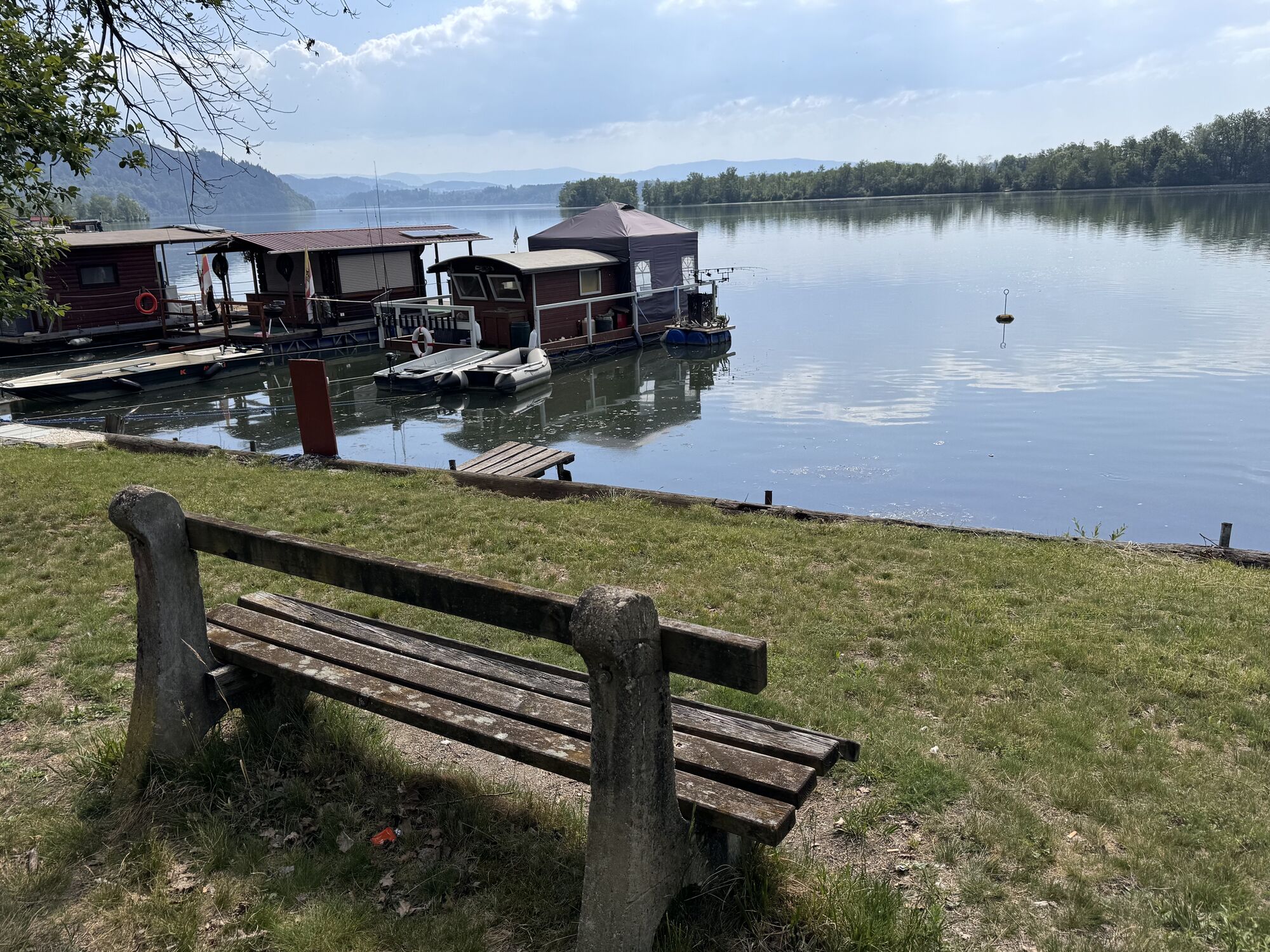
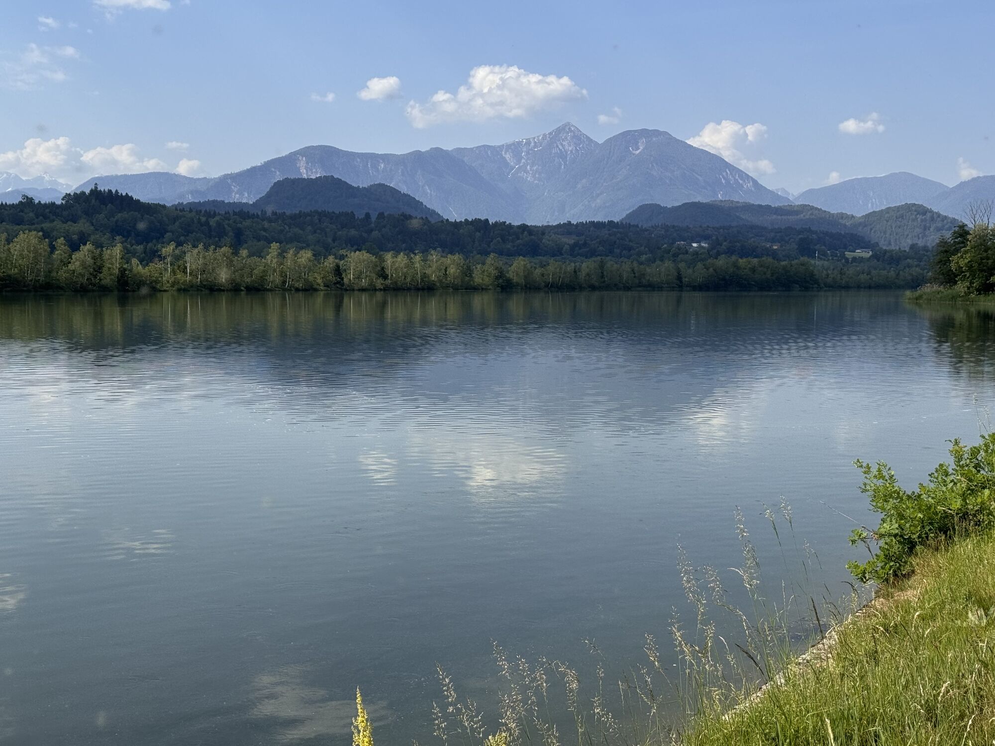
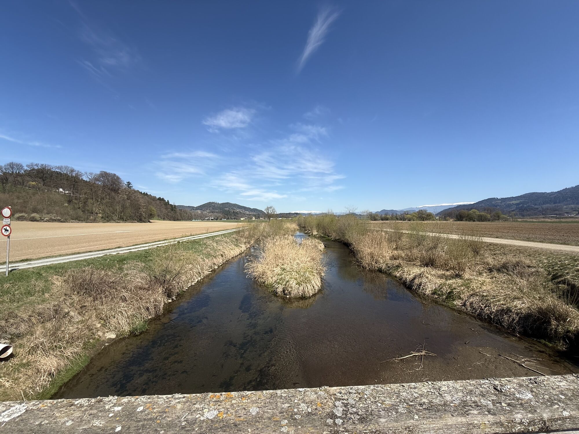
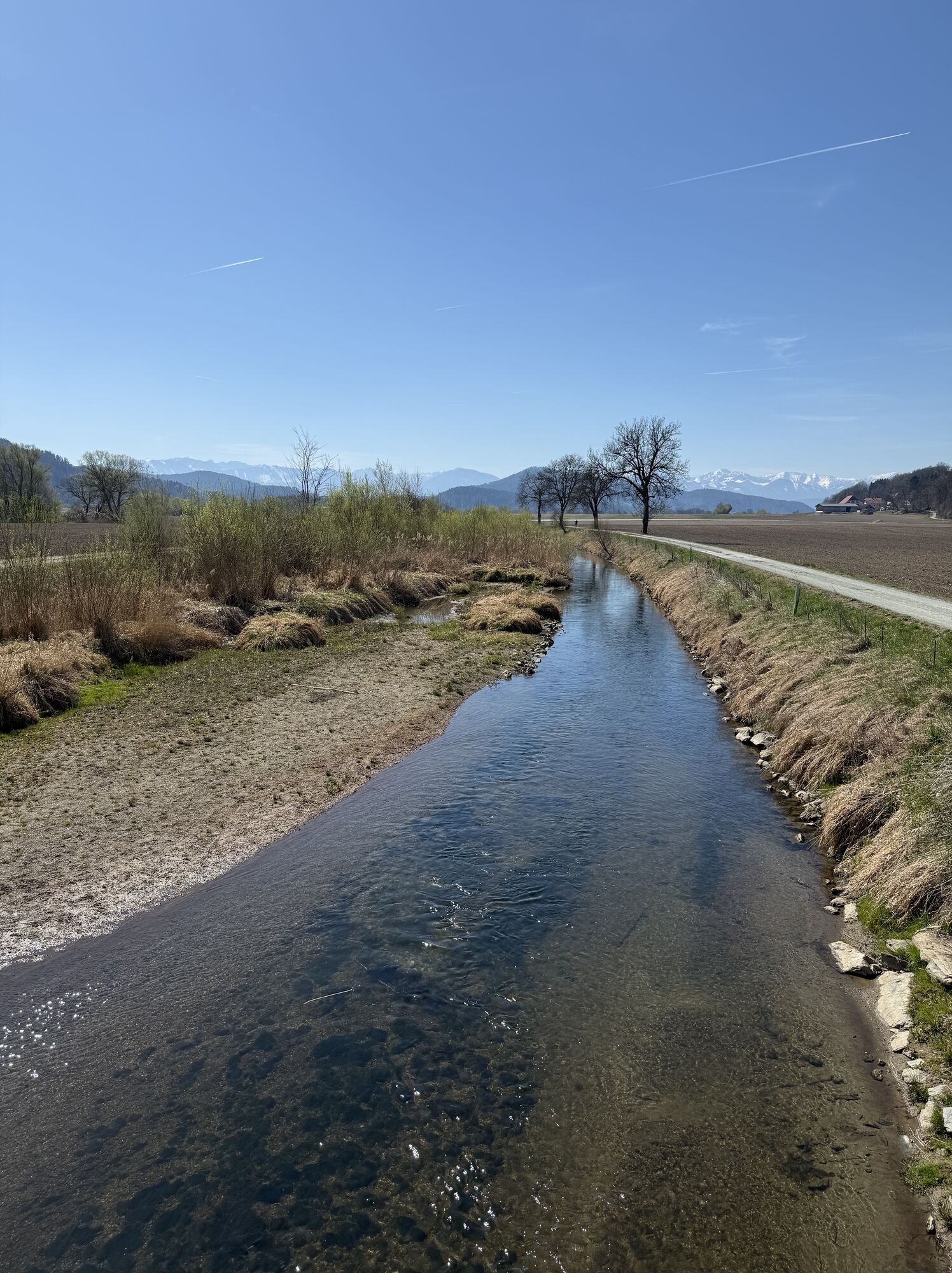
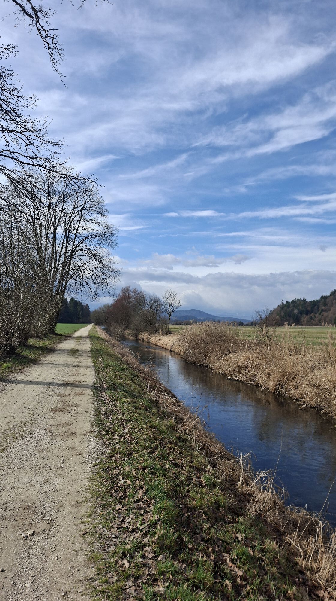
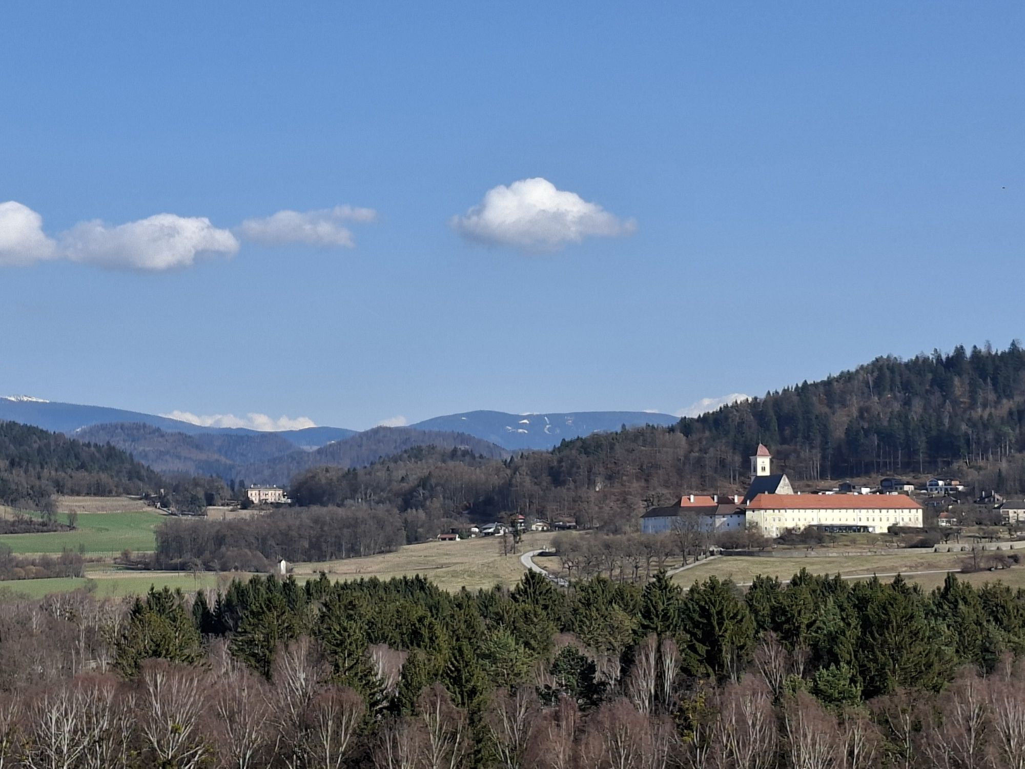
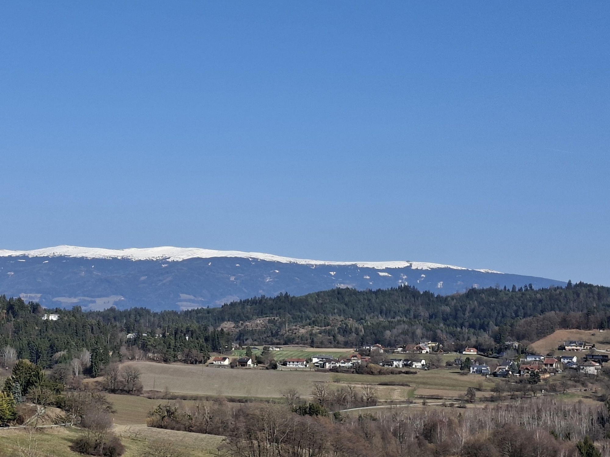
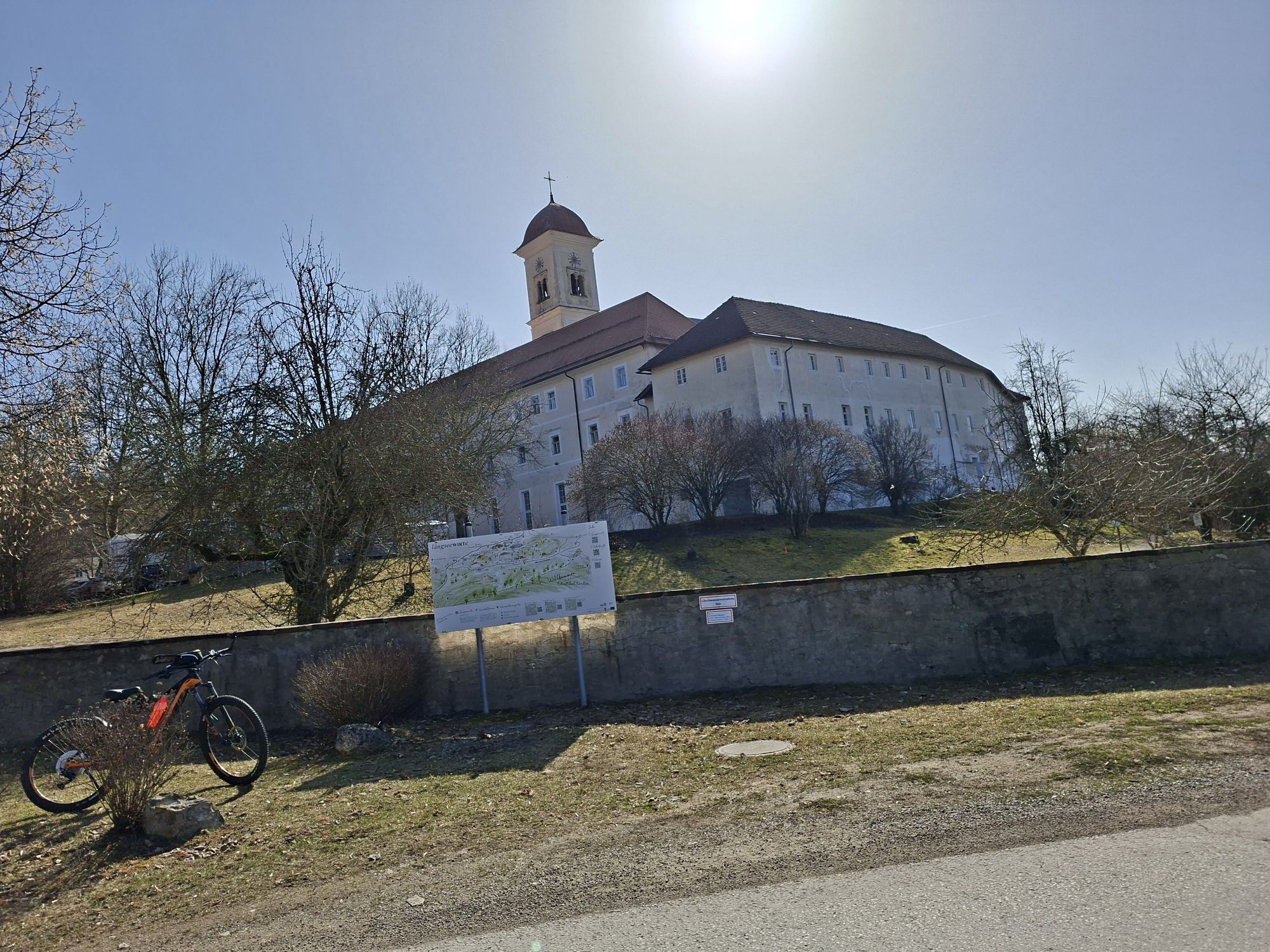
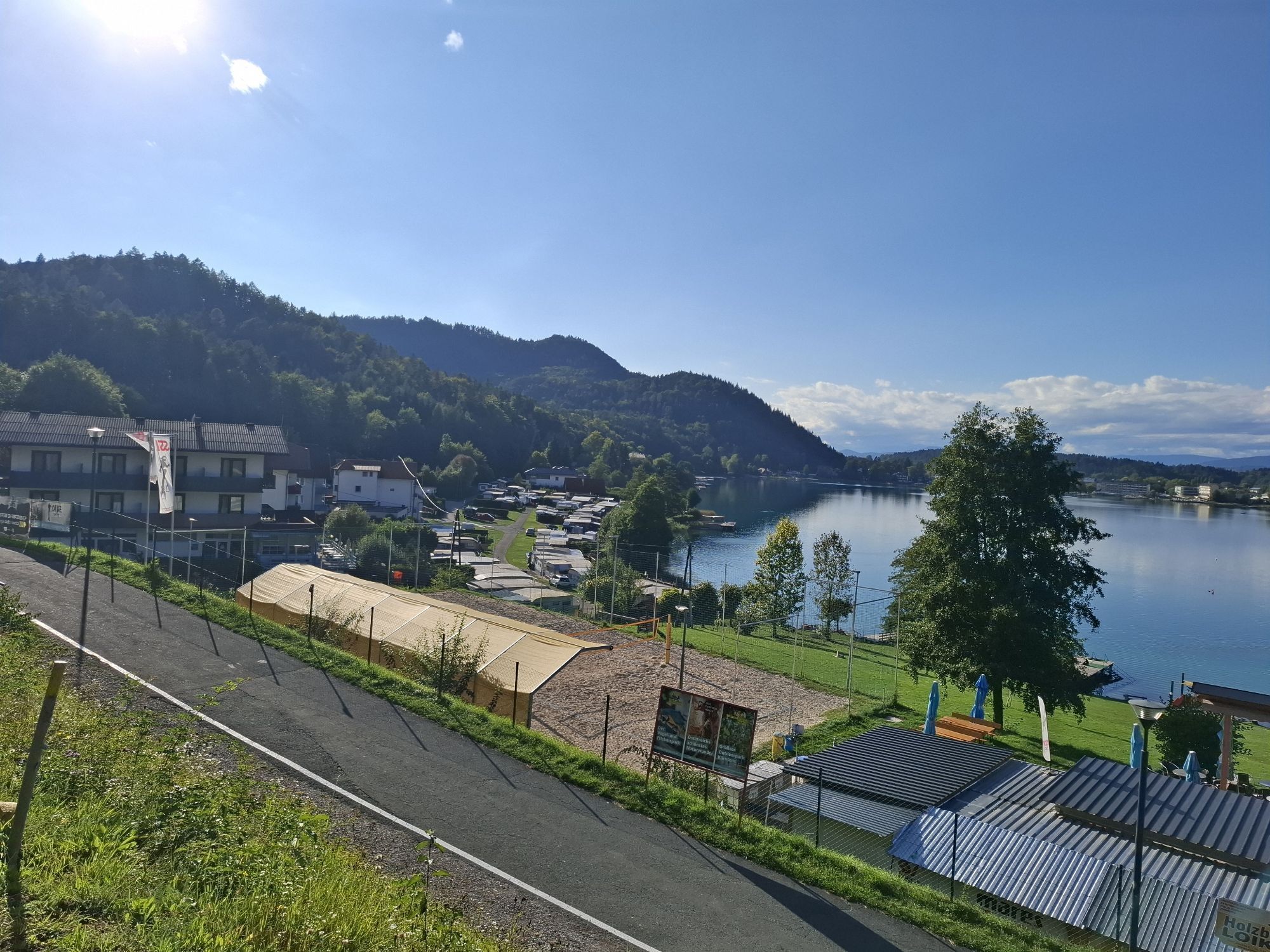
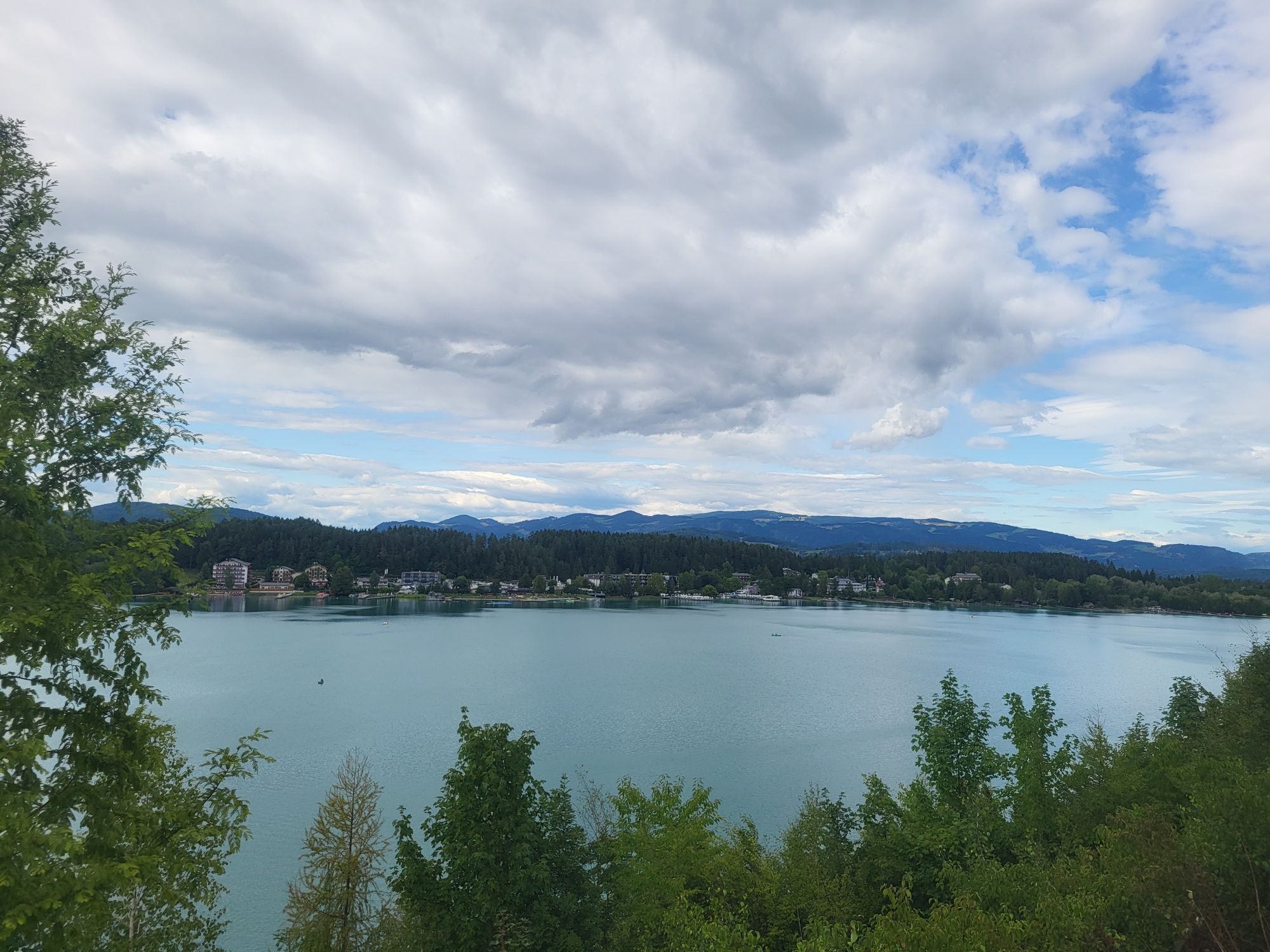
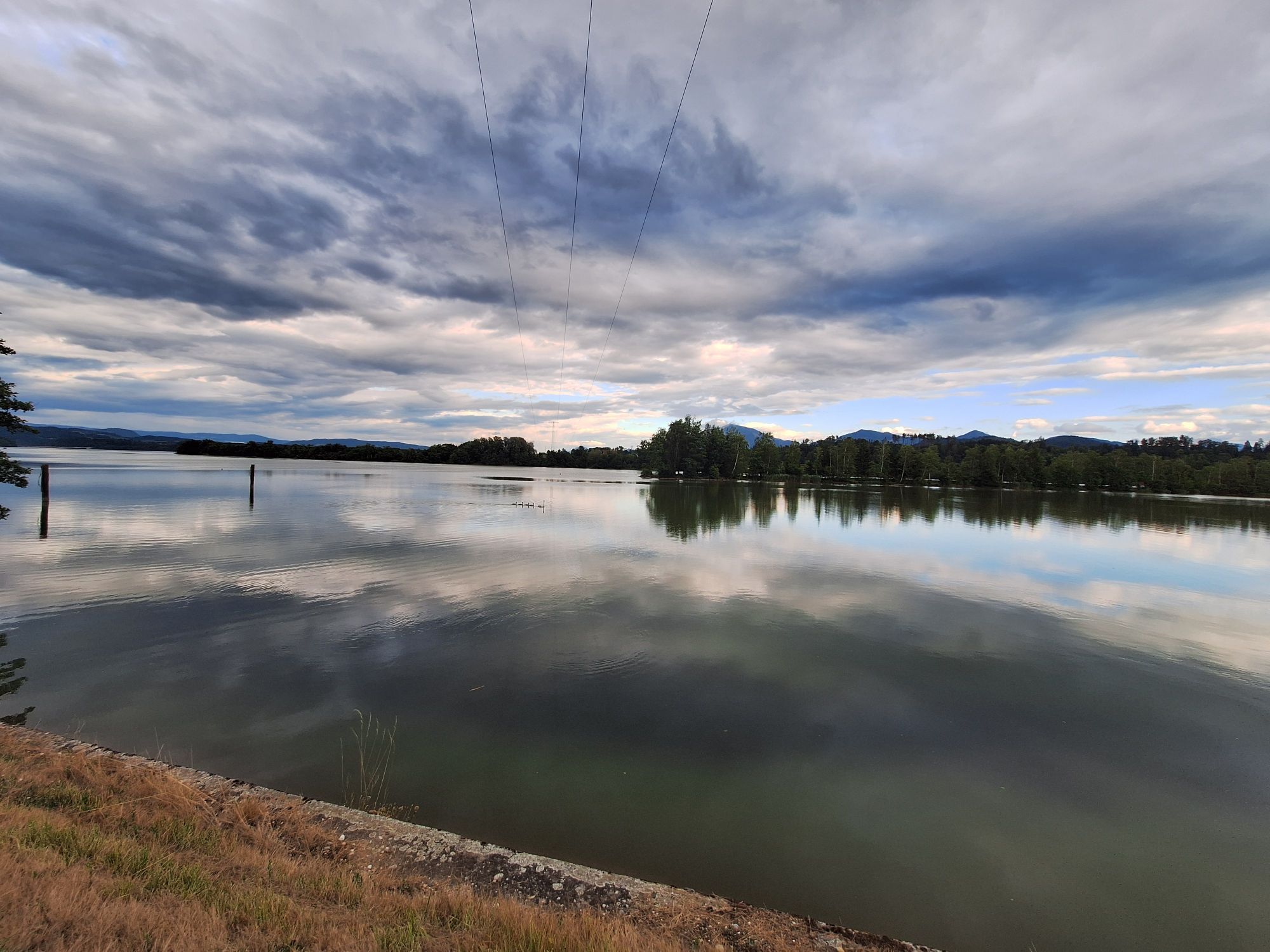
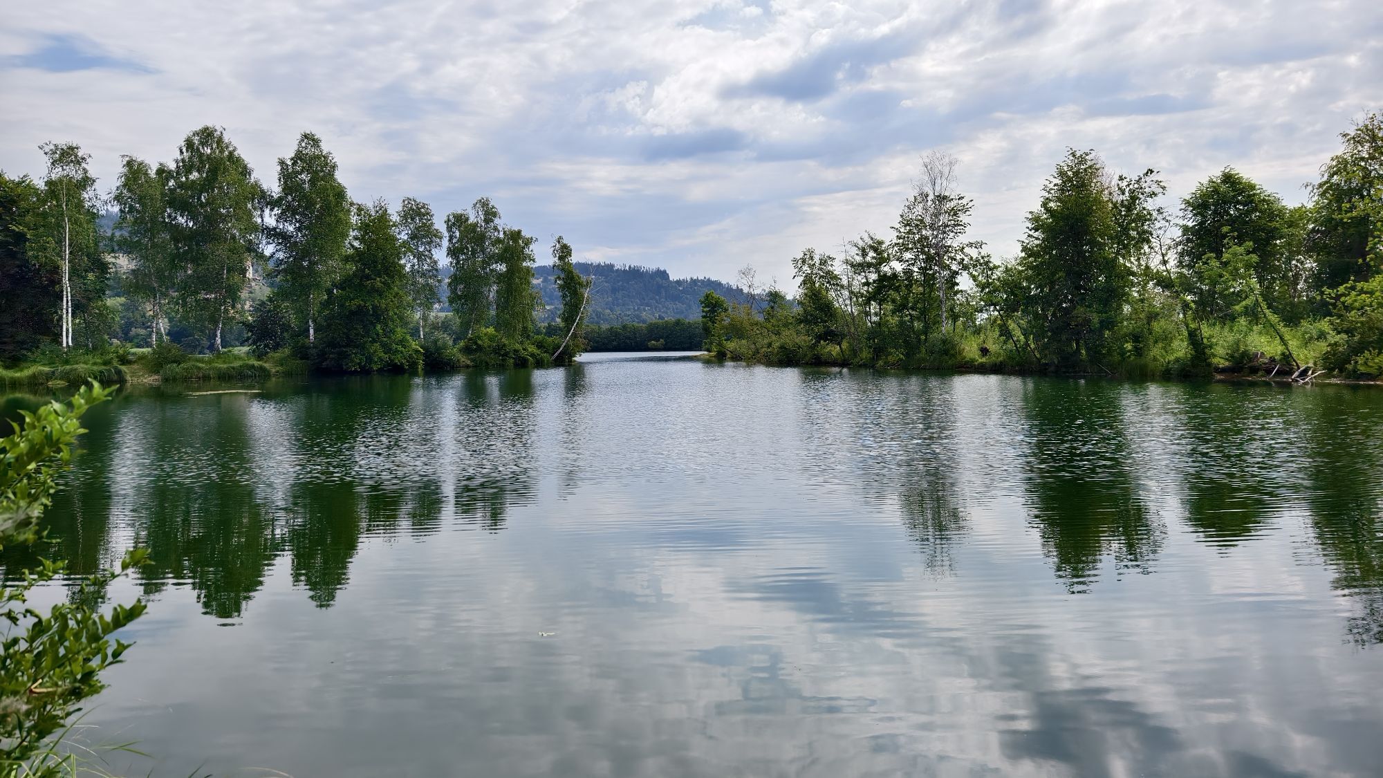
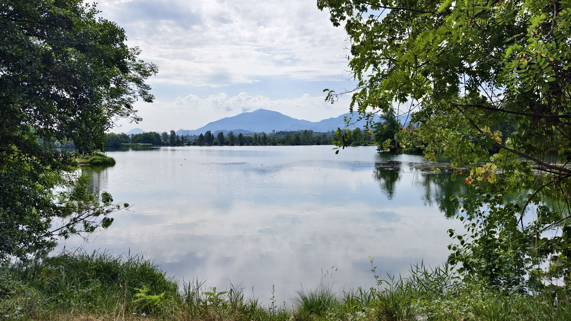


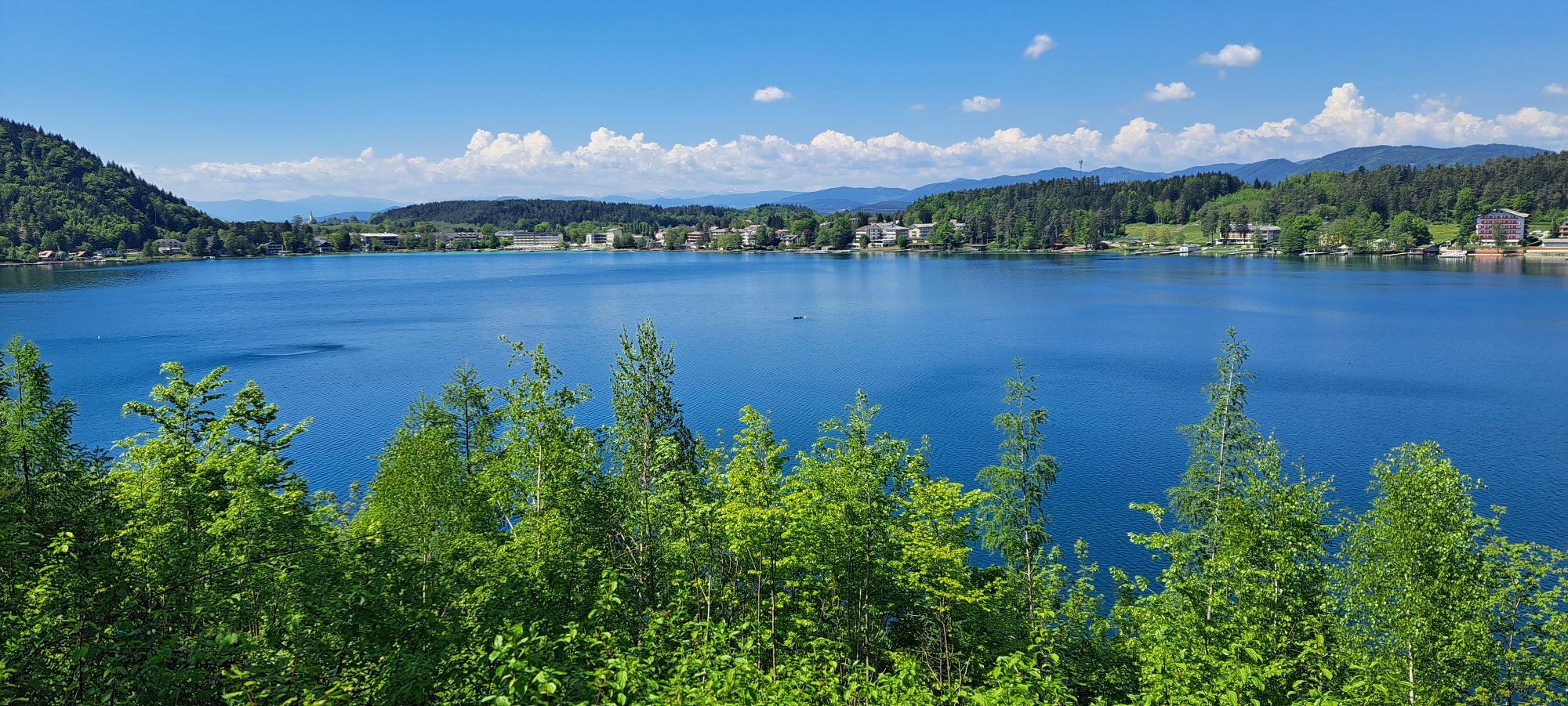
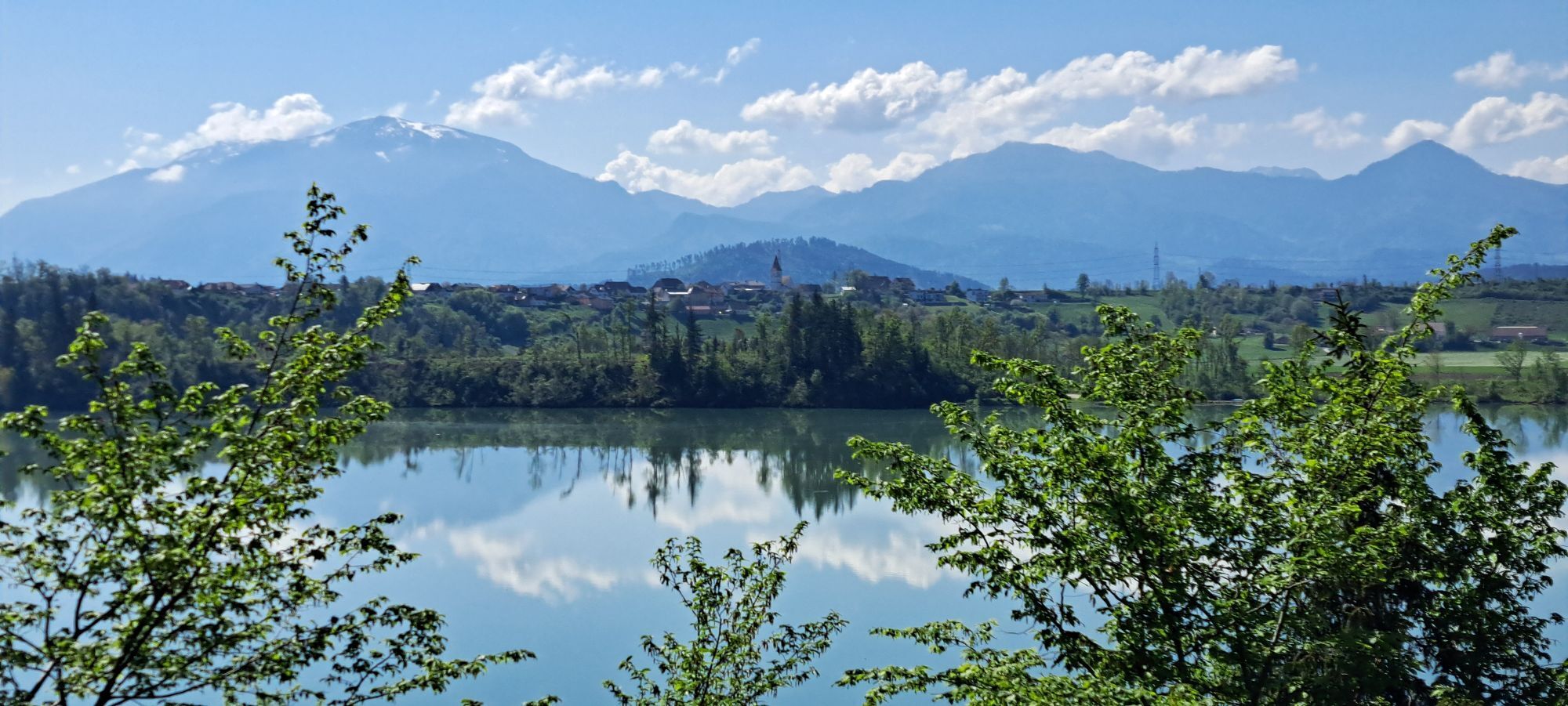
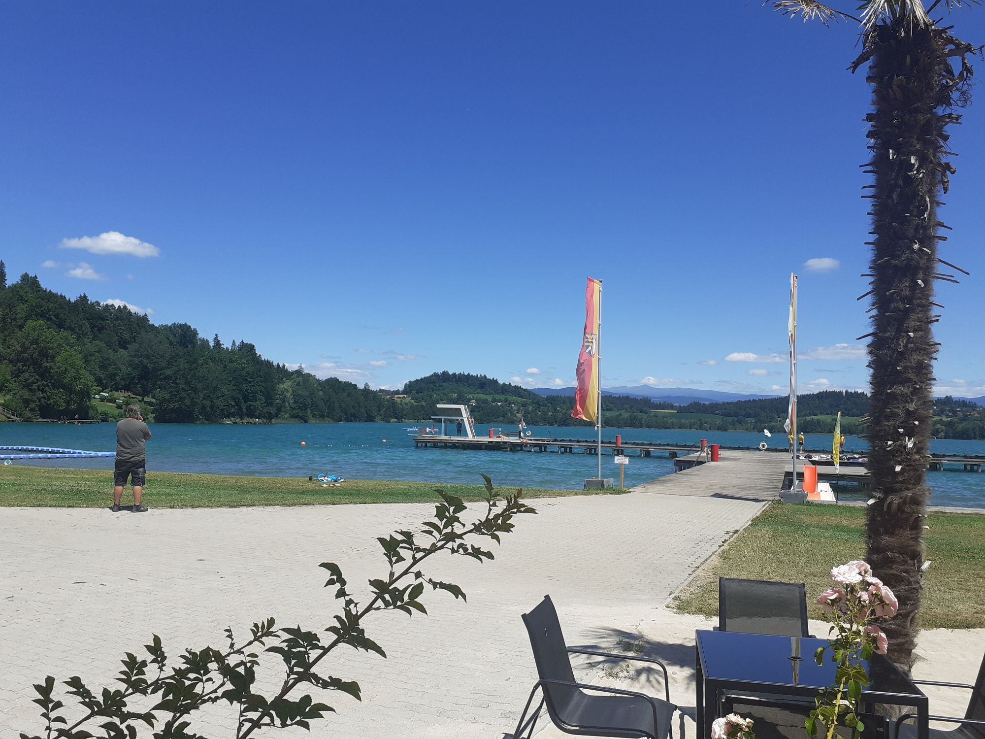
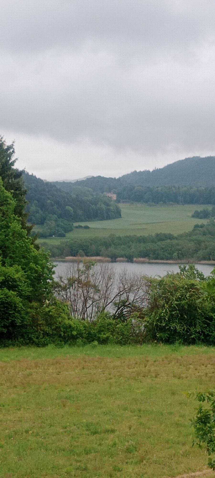
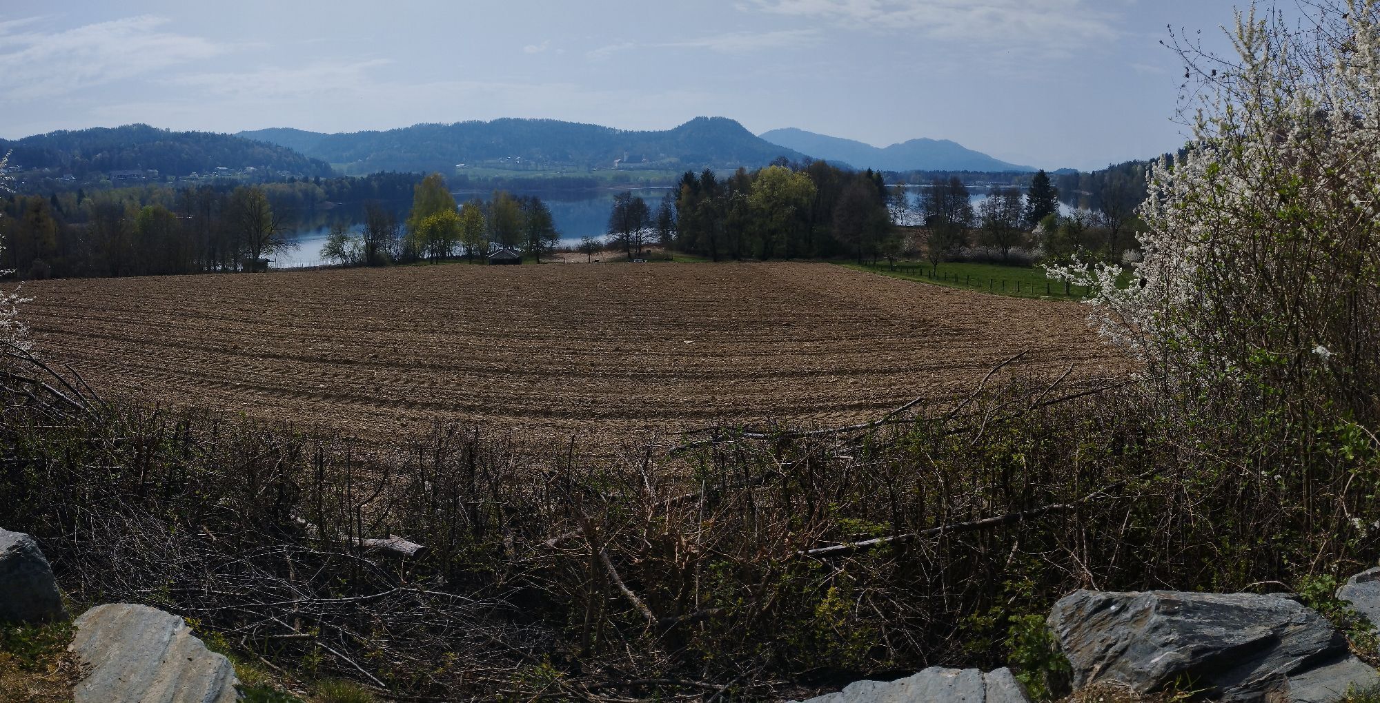
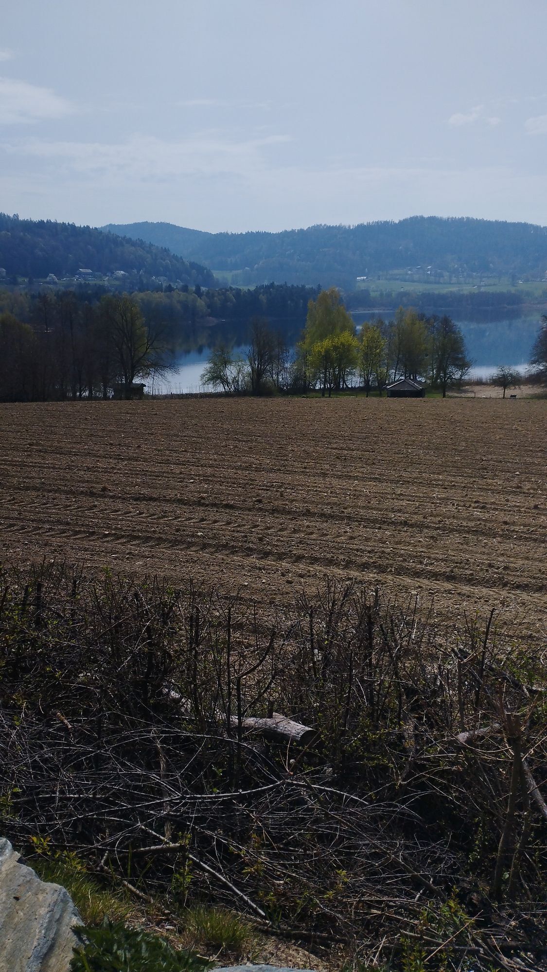
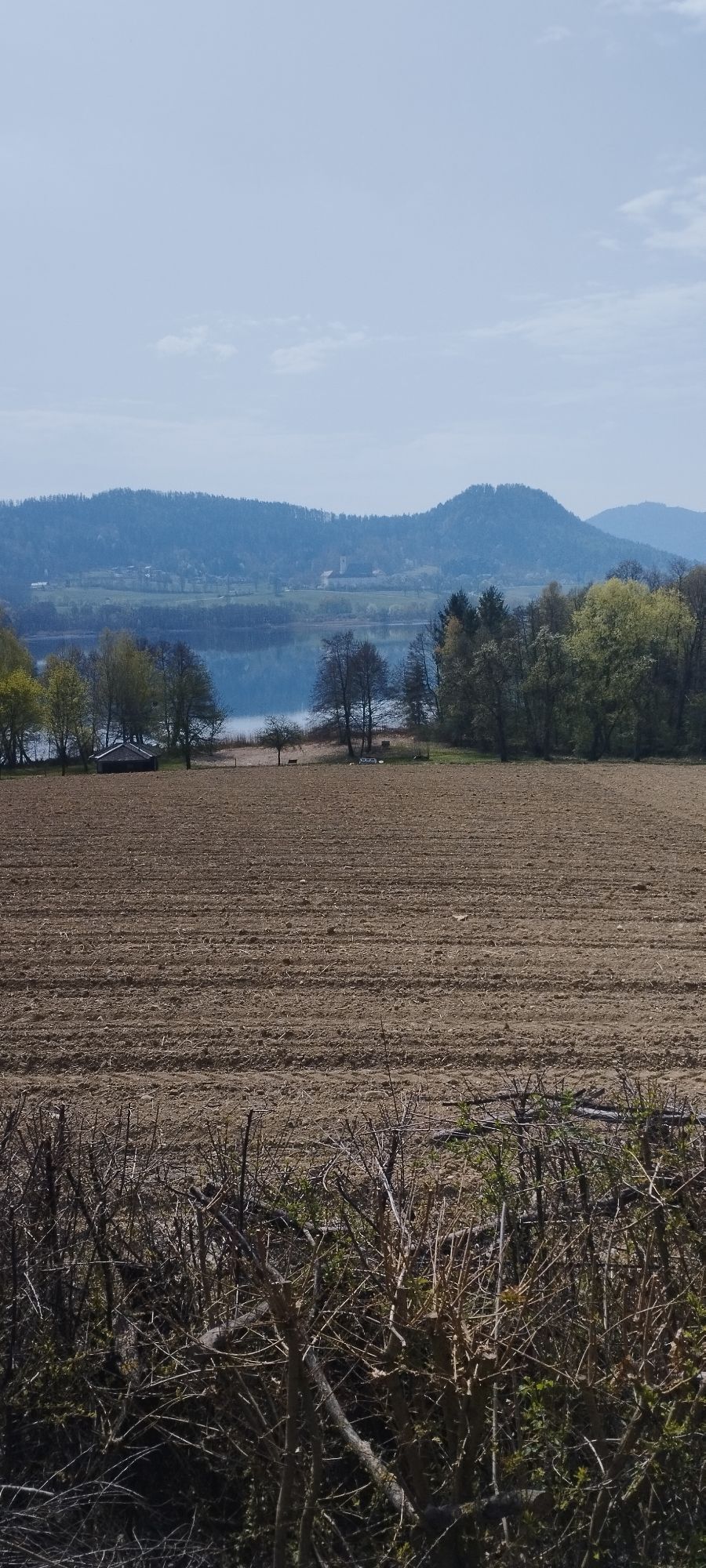
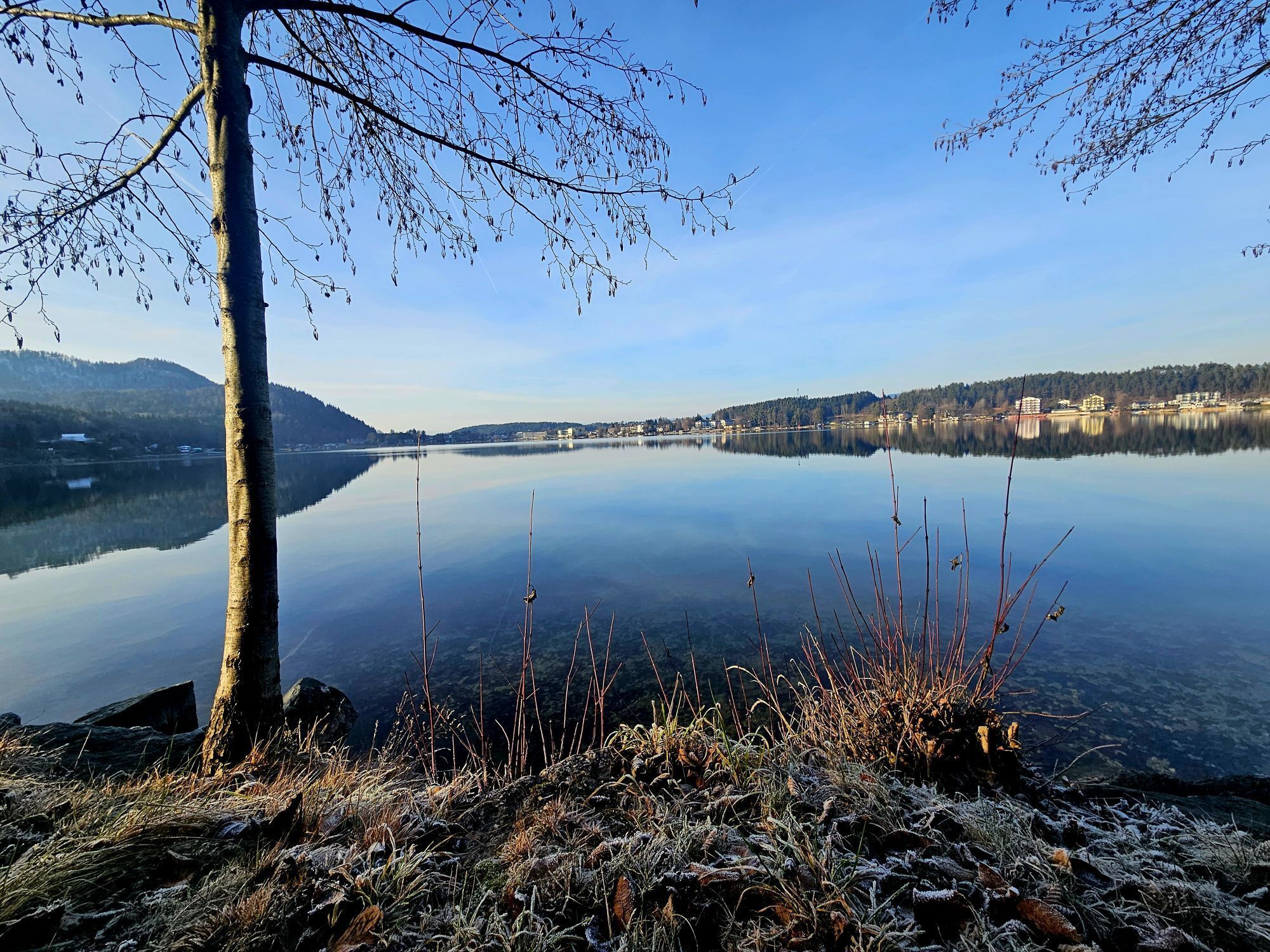
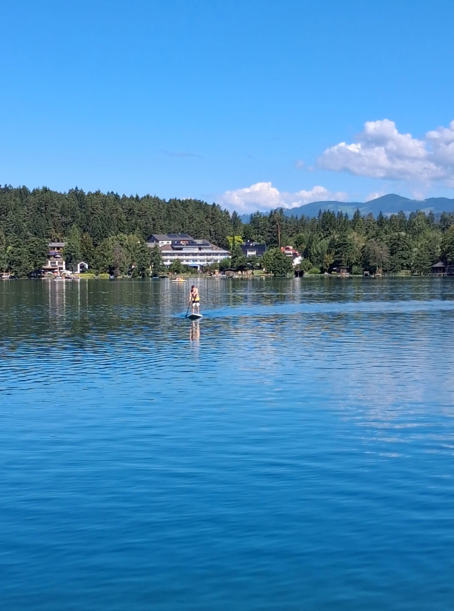
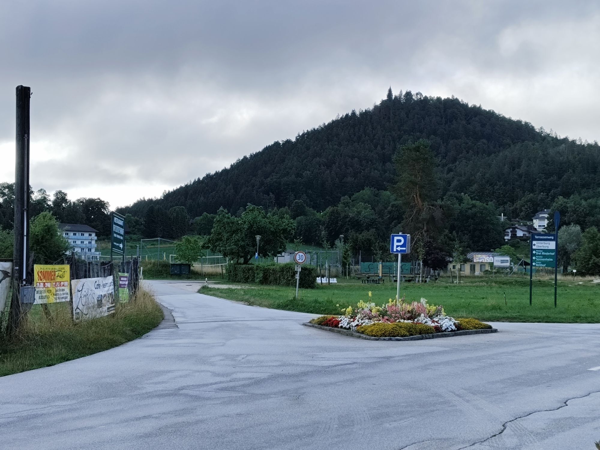
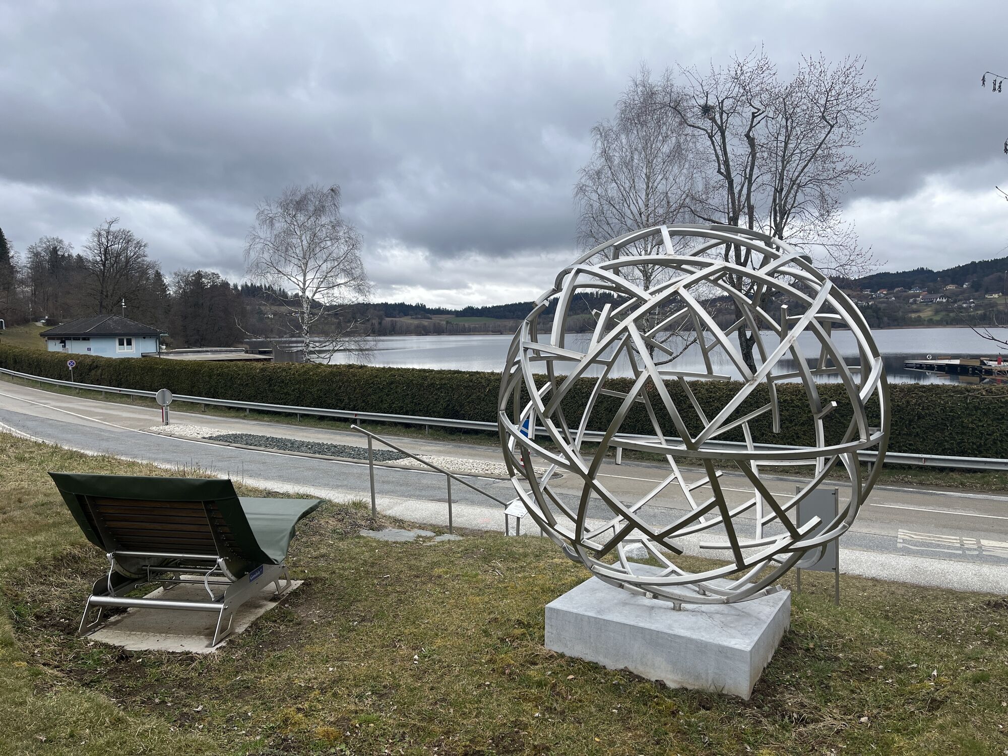
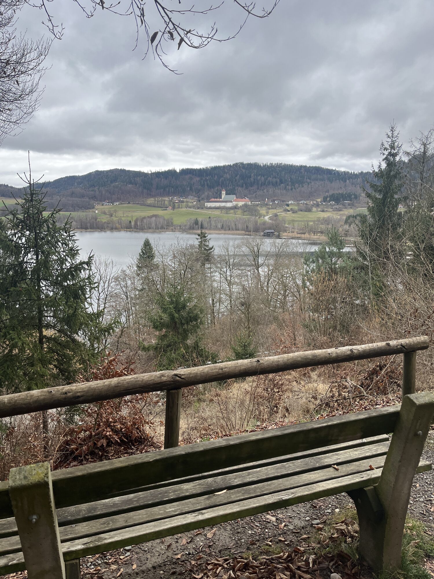
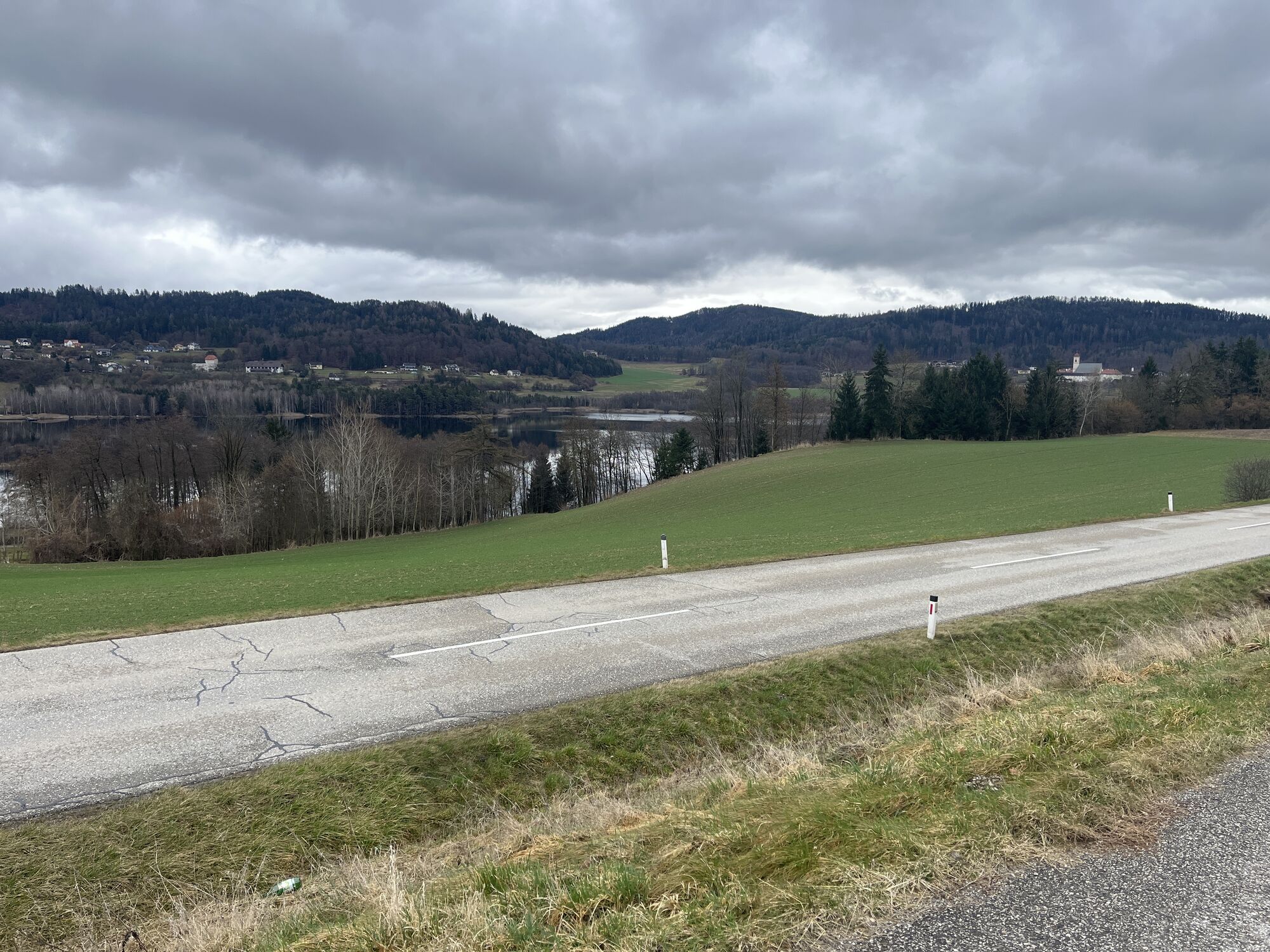
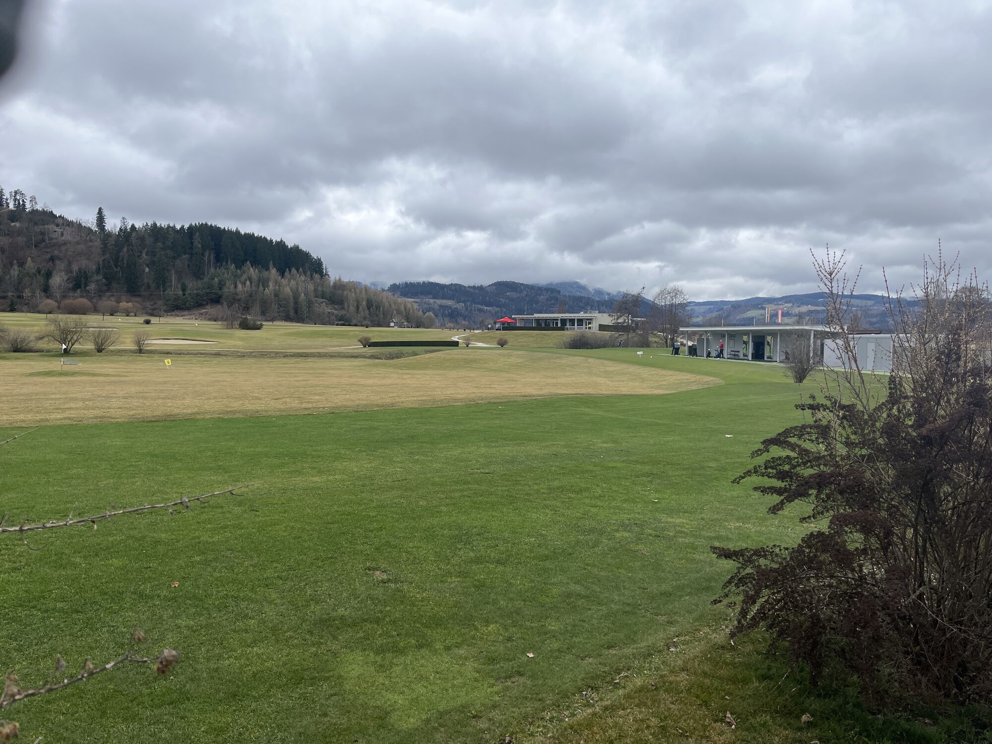
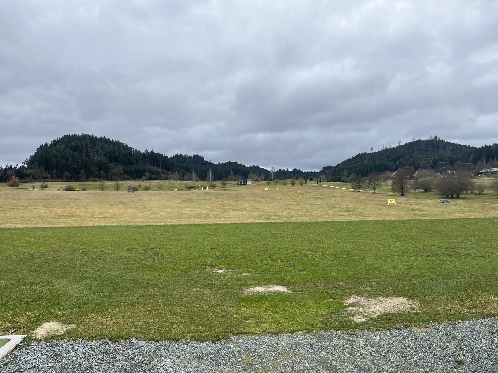
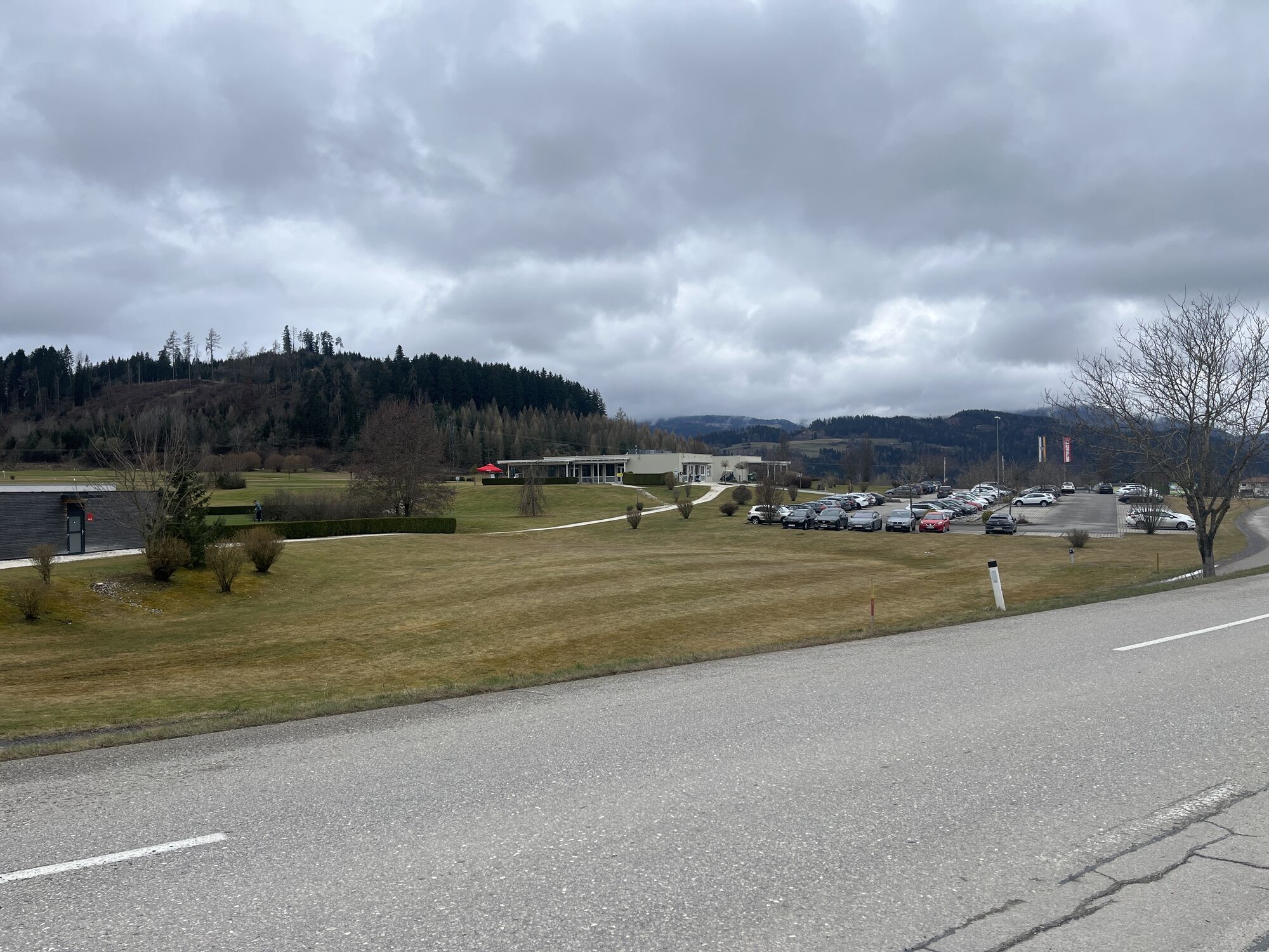
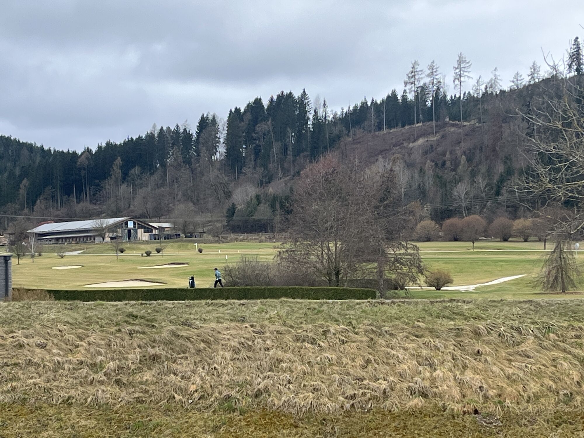
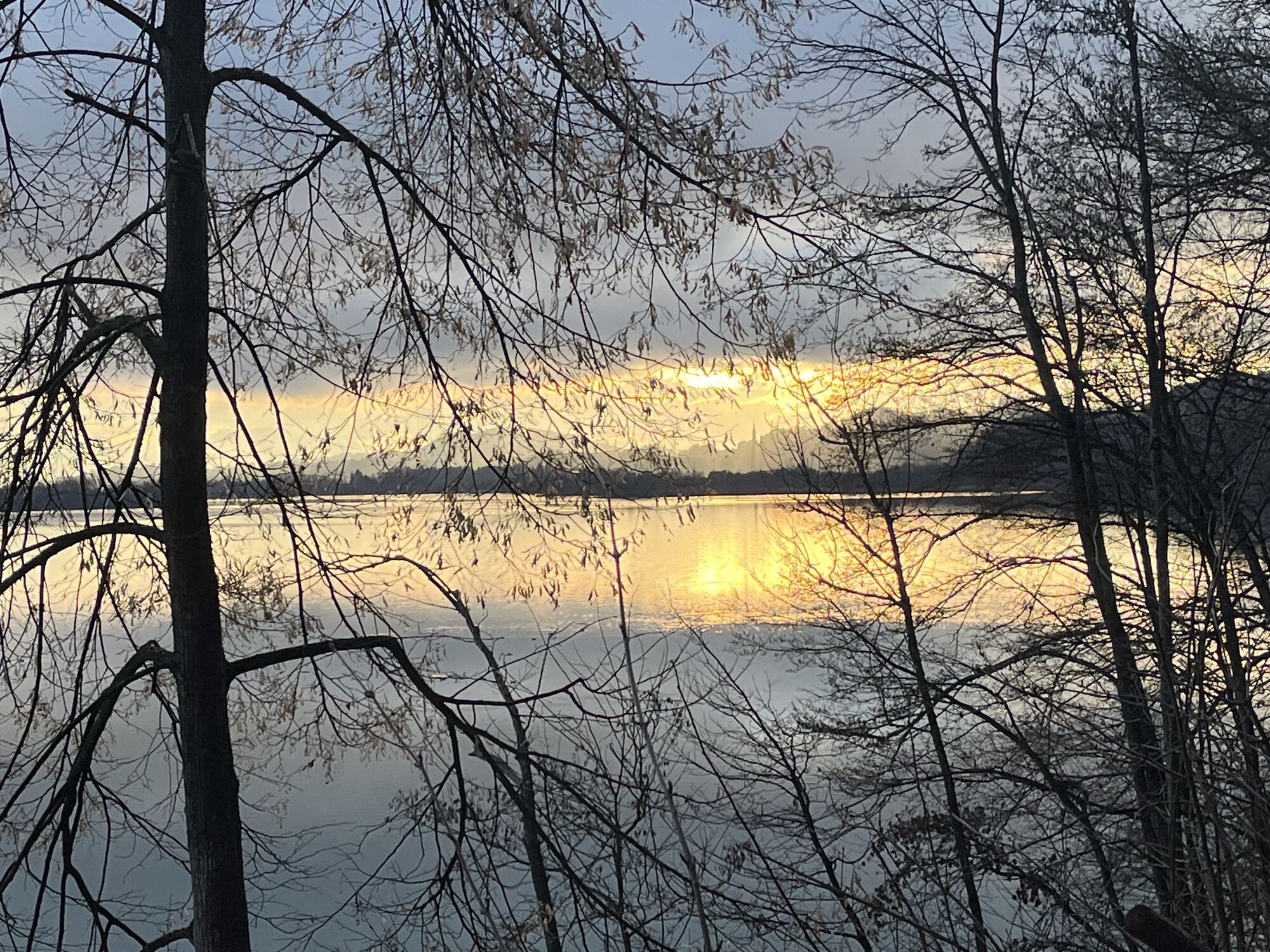
Carinthia Lake Loop sections 6-7 from Lake Klopein via Grafenstein and Klagenfurt, from there further into the region of central Carinthia to St.Veit an der Glan.
From Lake Klopein you ride on paved side...
Carinthia Lake Loop sections 6-7 from Lake Klopein via Grafenstein and Klagenfurt, from there further into the region of central Carinthia to St.Veit an der Glan.
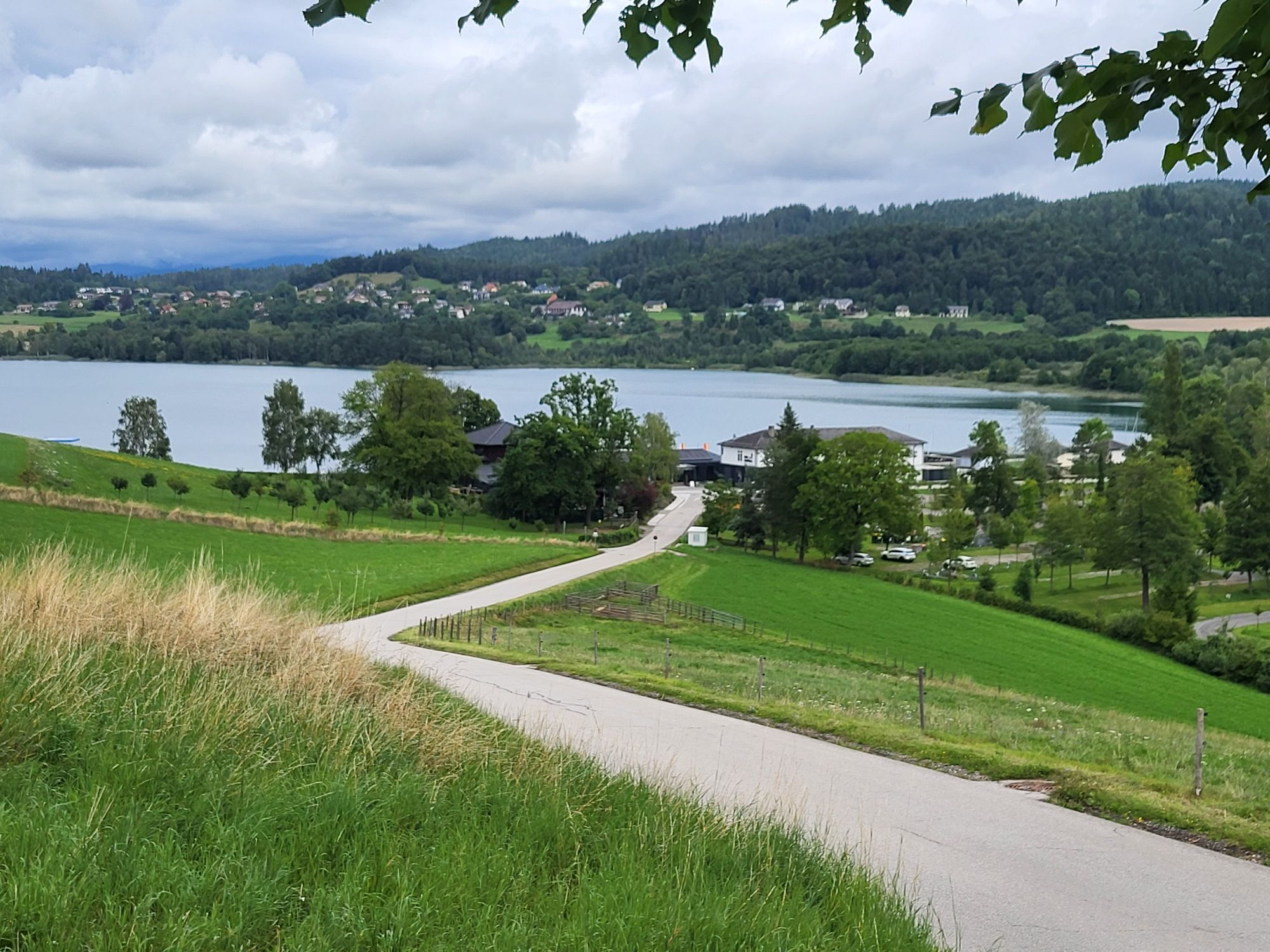
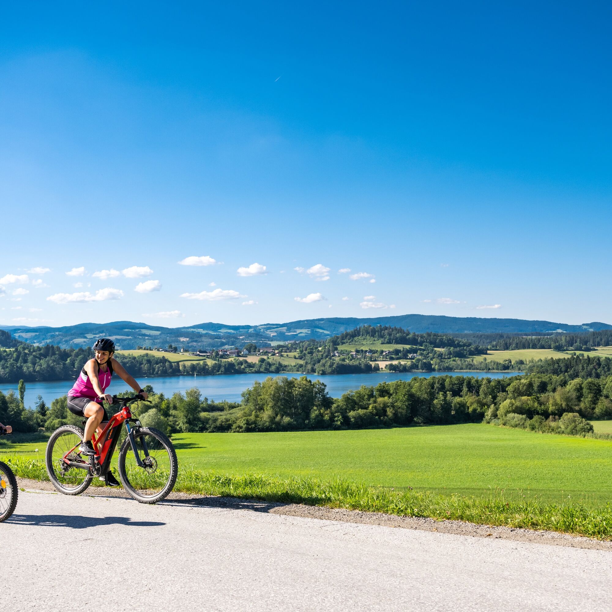
From Lake Klopein you ride on paved side roads past Wasserhofen, over Peratschitzen and St. Lorenzen back to the Drava riverbank. Here it goes on an unpaved cycle path to the big bridge – on the road-adjacent cycle path – over the reservoir. On the other side of the river, turn left and follow the shore for almost 8 km to the next bridge, where you turn right at Dullach, follow the main road for about 300 m and then turn left again. Then you cycle via Althofen, Grafenstein and the railway cycle path to Klagenfurt. A stop in Klagenfurt and its city center is definitely worthwhile, as the state capital has a lot to offer guests.
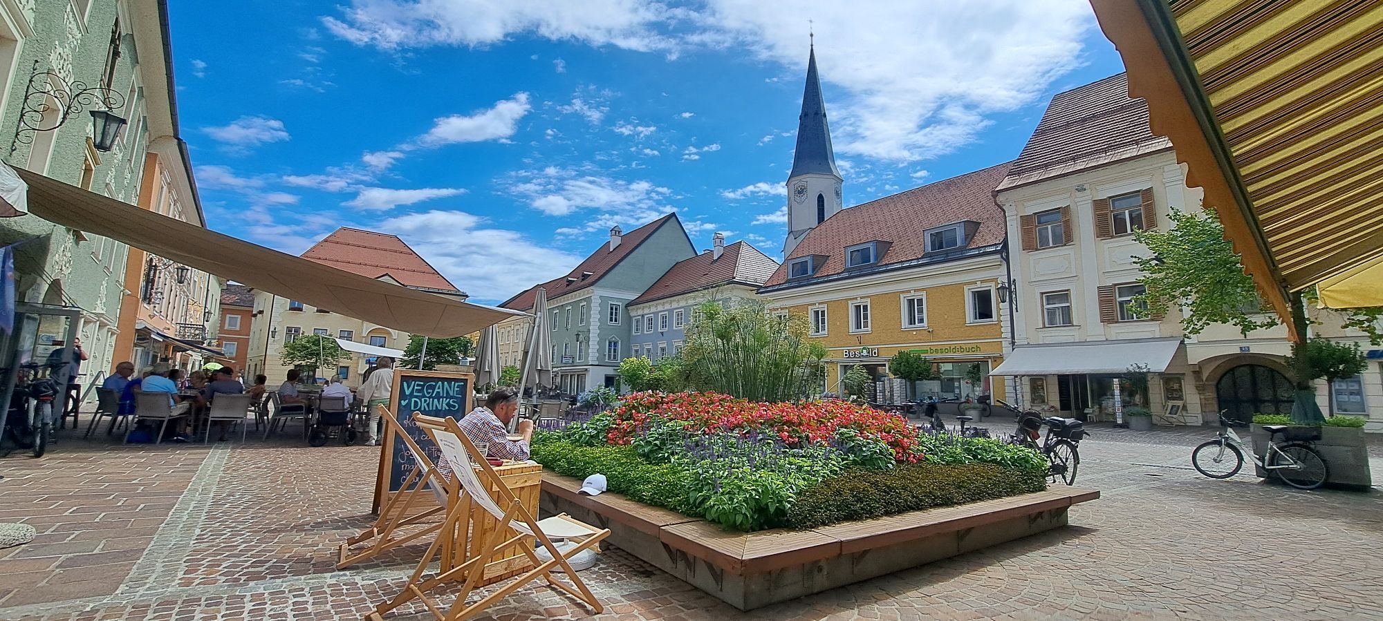
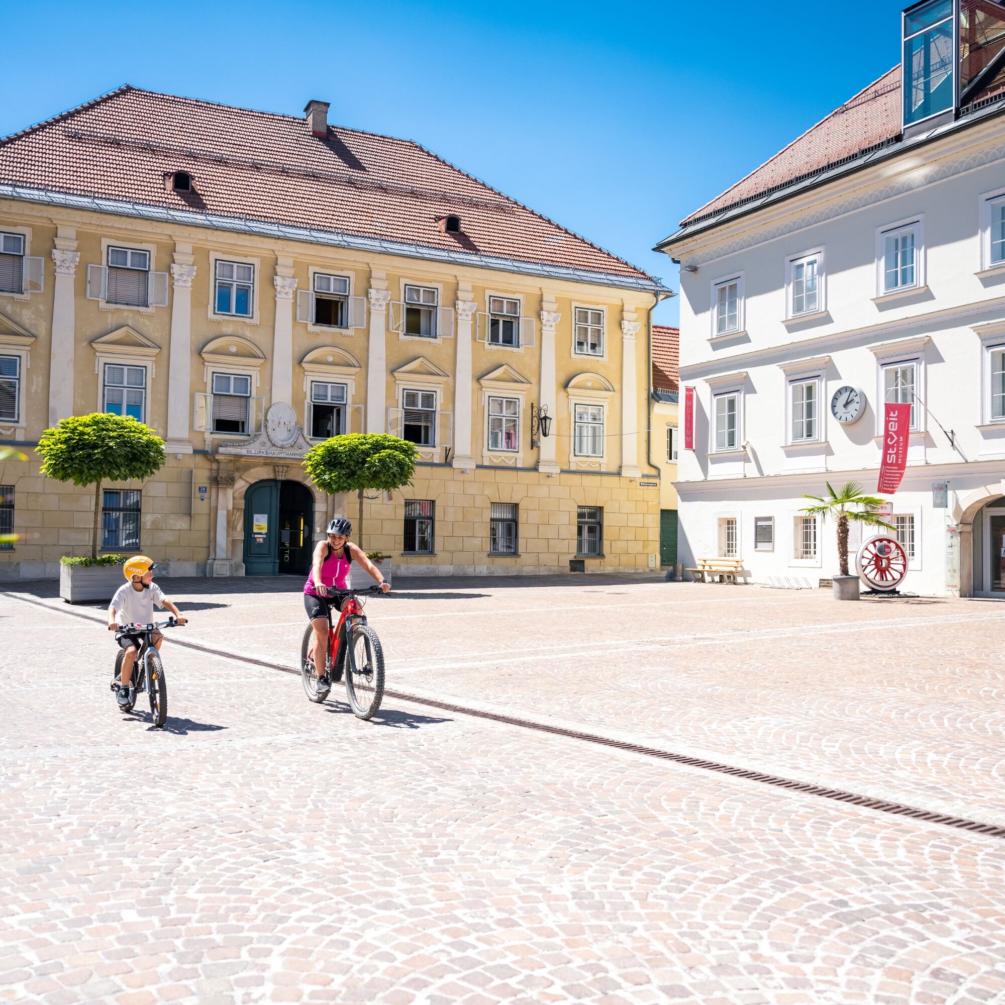
From the center of Klagenfurt, the route continues on the perfectly signposted R7 cycle path along the Glan directly to the picturesque center of the ducal town of St.Veit an der Glan. Once there, you can choose whether to complete the approximately 20-kilometer round around Lake Längsee on the same day or relax in one of the accommodations in the central Carinthian district capital and postpone the trip to the next day.
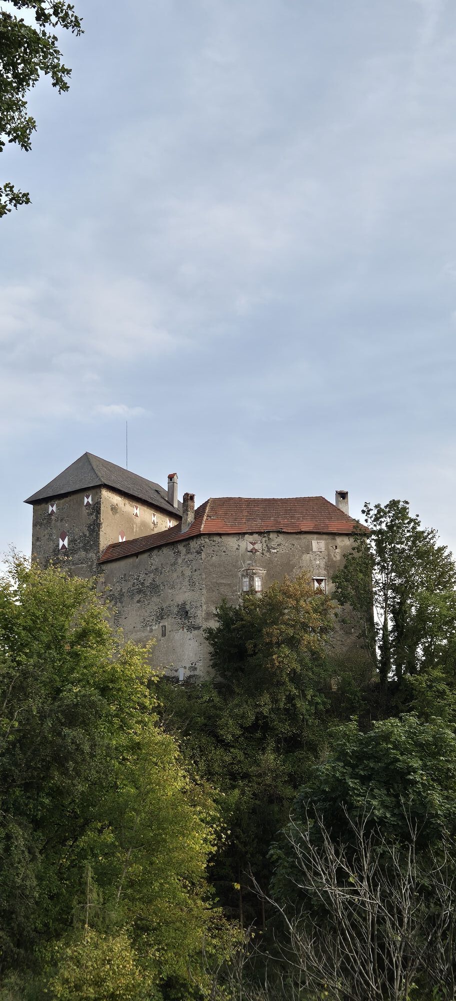
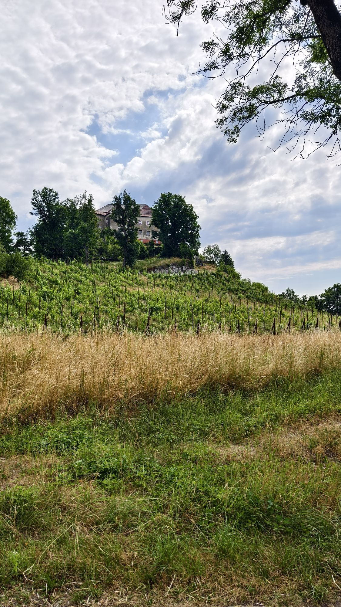
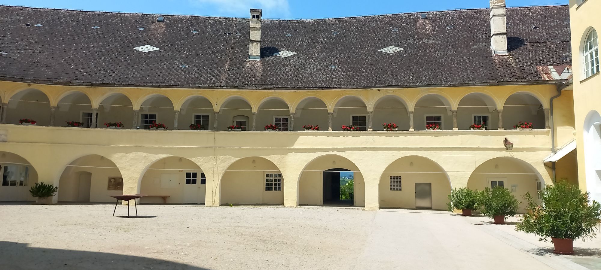
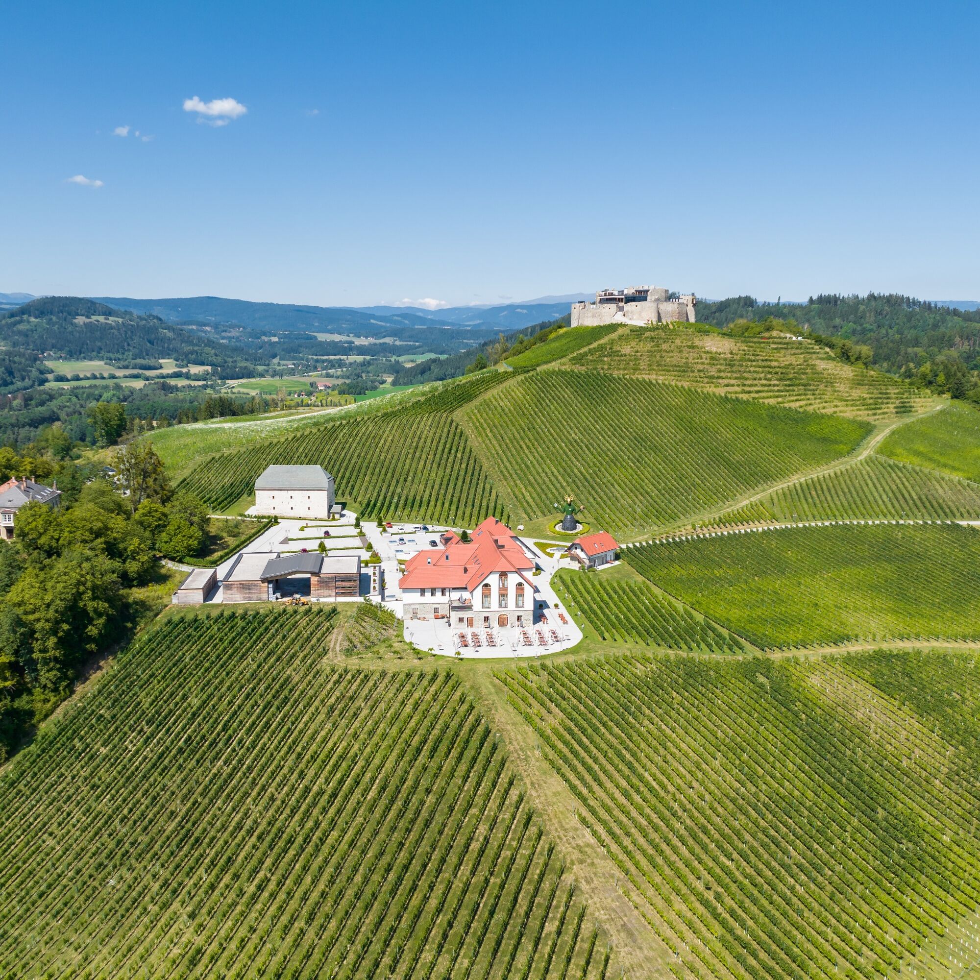
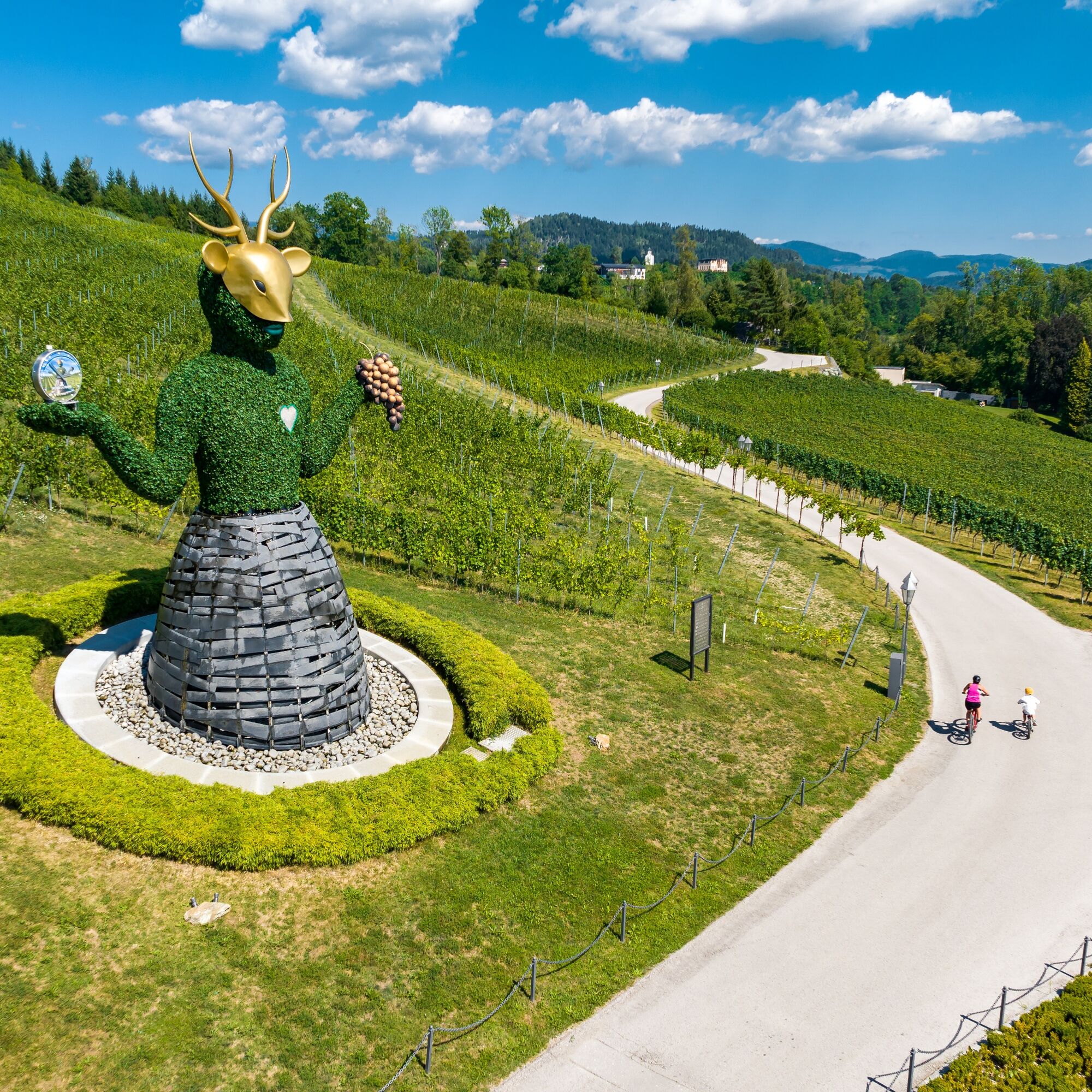
The extra kilometers are definitely worthwhile, as they lead past beautiful places, all dedicated to water and wine. Thus, both Taggenbrunn Castle, Carinthia's largest winery with an attached wine tavern, and the historic Hochosterwitz Castle are on the itinerary. You can refresh yourself at the largely pristine Lake Längsee before cycling back to St. Veit from the north.

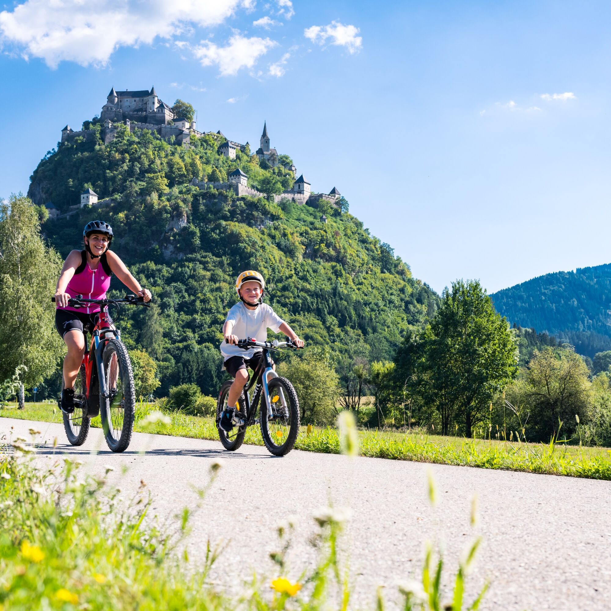
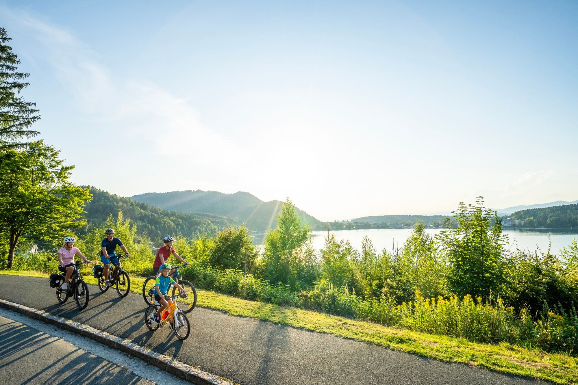
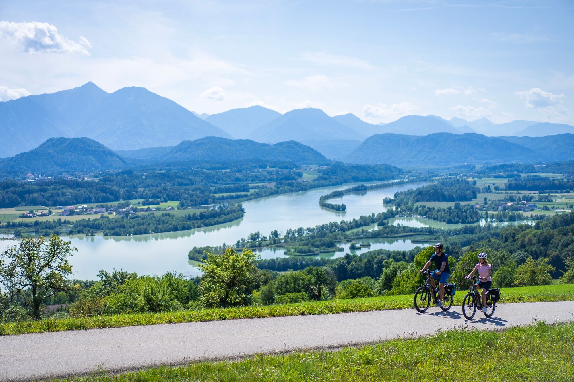
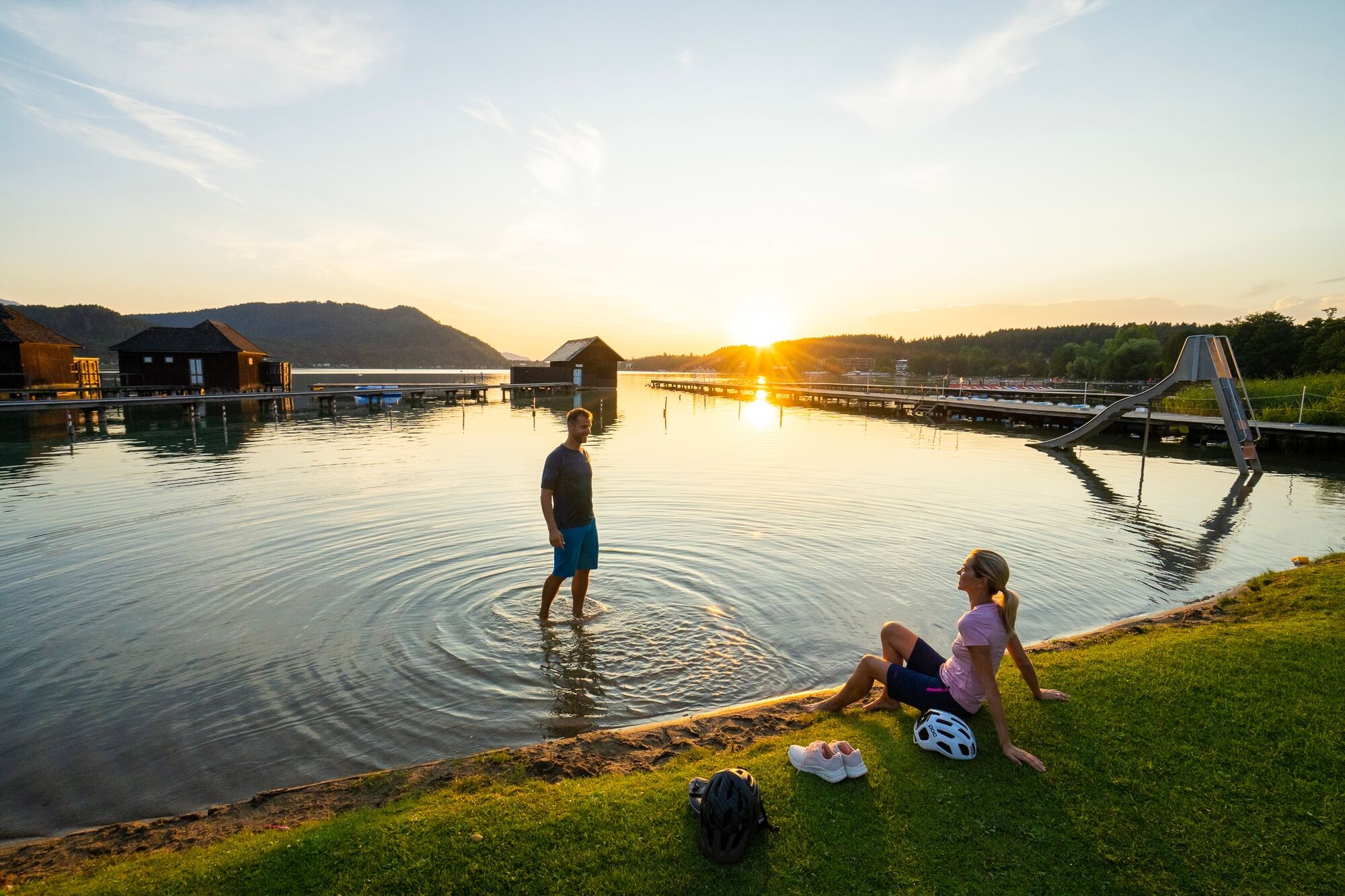
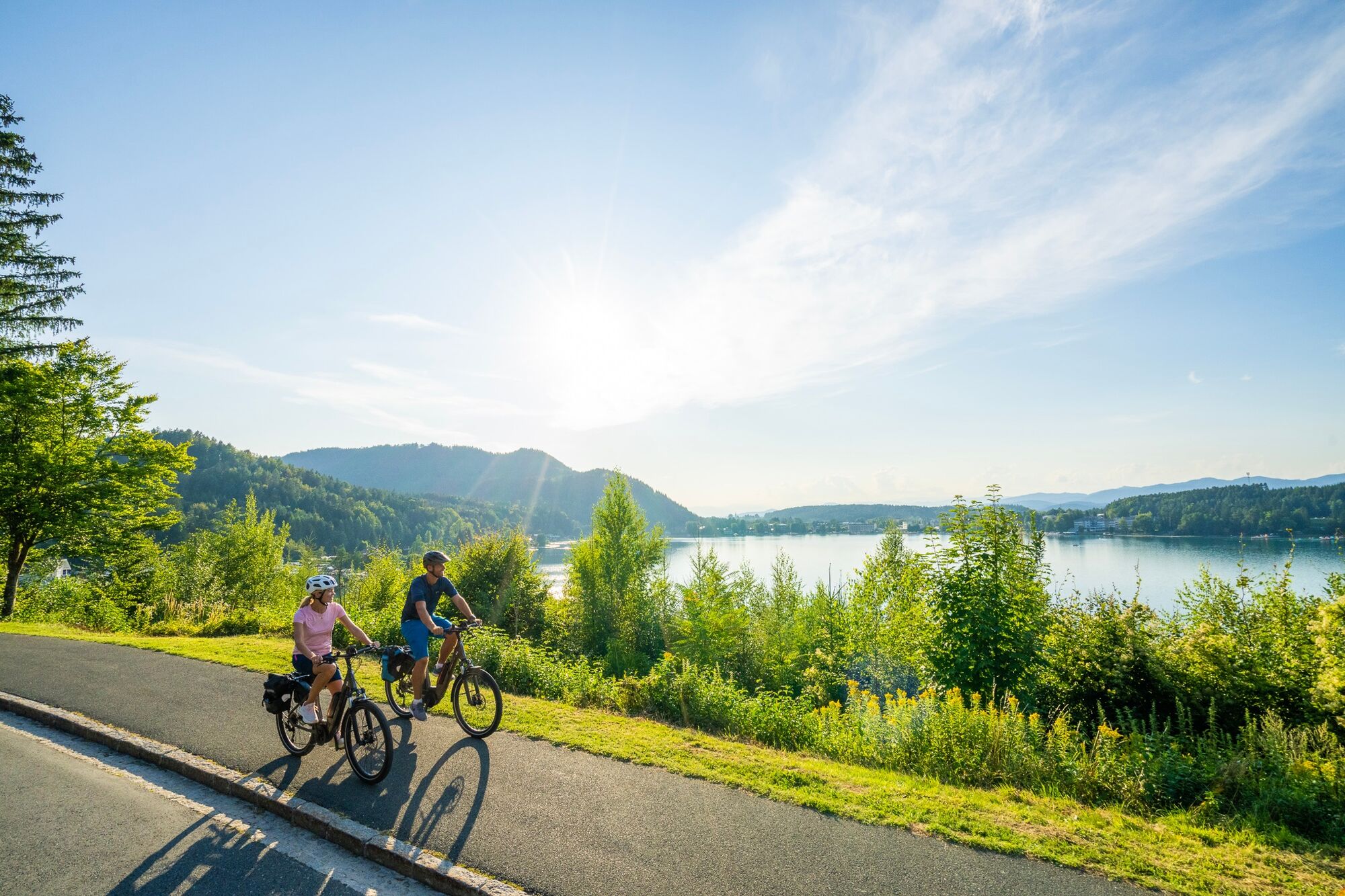
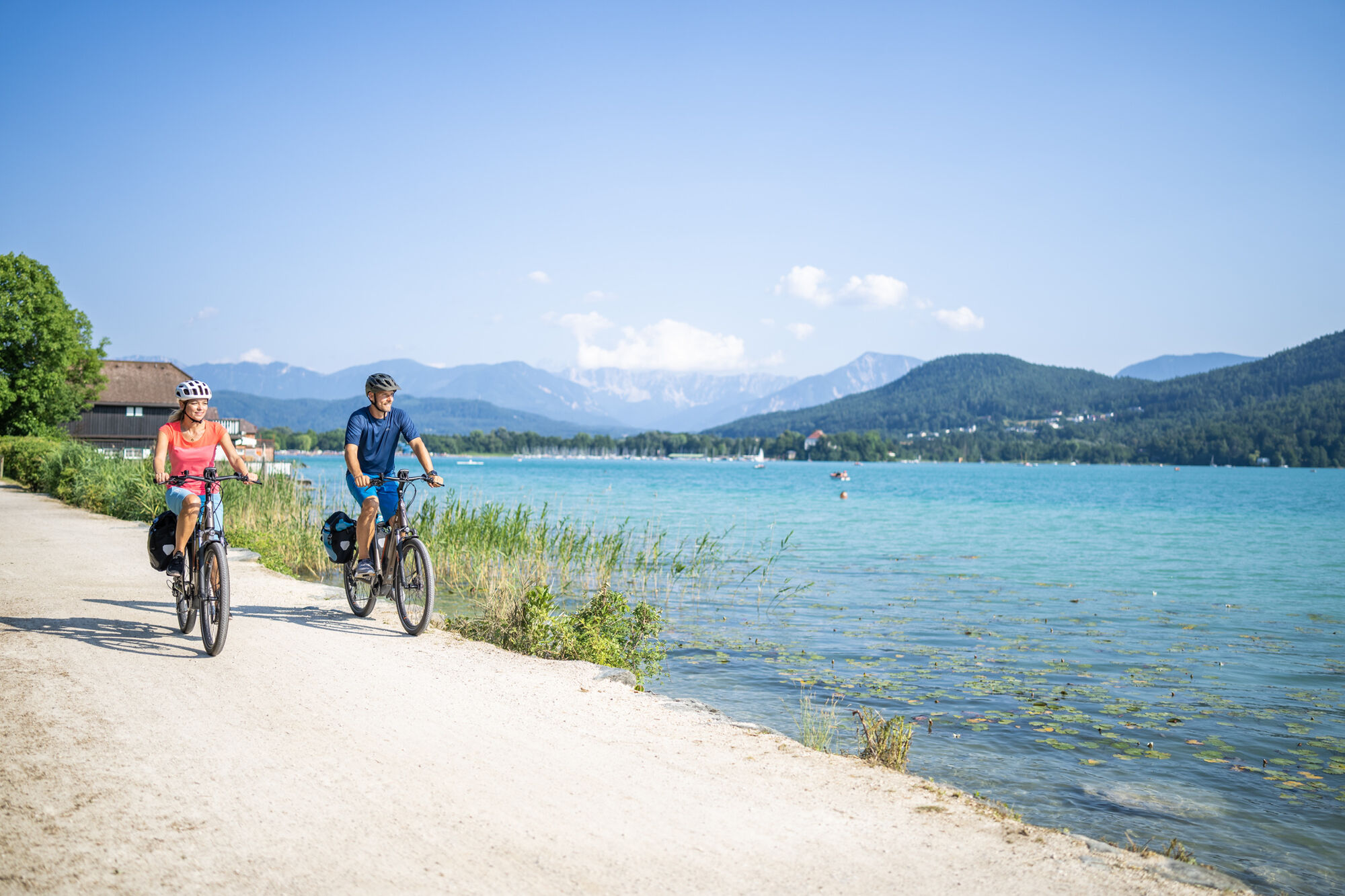

The fastest route runs from the north shore of Lake Klopein to St. Kanzian and then on to Piskertschach. From there, a quick descent leads to the Drava River at Dullach, via Althofen and Grafenstein and the railway cycle path to Klagenfurt. A stop in Klagenfurt and the city center is definitely worthwhile, as the state capital has much to offer guests.
From the center of Klagenfurt, the route continues on the perfectly signposted R7 cycle path along the Glan river directly to St.Veit. There, you can choose whether to add the approximately 20 km long route around Lake Längsee and Hochosterwitz Castle, or postpone it to the next day.
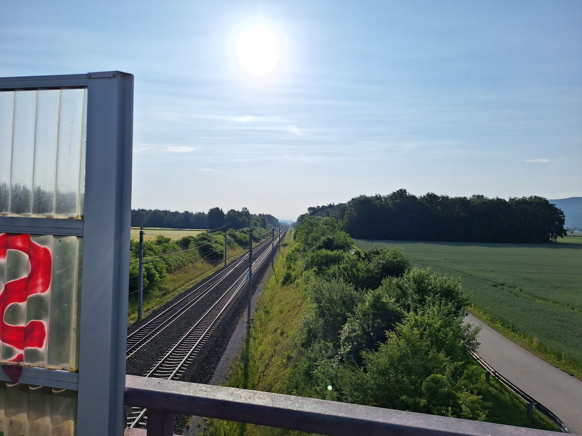
Detailed description of cycle paths: From Lake Klopein to St. Kanzian, further on municipal roads to Piskertschach, from there after passing through the village switch to state road L116 and follow this to Dullach2, cross the Drava and follow L115 to Althofen, then after passing under the railway line turn right onto the railway cycle path, then follow this to Grafenstein. Follow the railway cycle path from Grafenstein to Klagenfurt (R6). Follow cycle path R6 to the center of Klagenfurt, then at Neuer Platz switch to the R7 and follow this to St.Veit.
Sights and things to experience nearby:
Ride with the Wörthersee shipping and/or excursion to the Pyramidenkogel
Alternative route via the Drava cycle path and the Rosental valley
69 kilometers, 493 meters in elevation
After a nice round around Lake Klopein, today's stage focuses entirely on the River Drava. The route runs largely along the well-known Drava cycle path, which has been rated one of four 5-star quality cycle routes by the ADFC since 2016. Here you can enjoy a relaxed ride by the water – past cliffs, castles and reservoirs. In the hiking region Rosental you pass the gunsmith town of Ferlach. In one of the many Drava loops lies the elegant Rosegg Castle with a large garden, labyrinth and animal park. From here, it is only a few kilometers to stylish Velden on Lake Wörthersee.
Sights and things worth experiencing nearby:
Tscheppaschlucht near Ferlach – a natural jewel of a special kind
EXPI – Science Center full of (physical) experiments in Gotschuchen/St. Margarethen im Rosental
Trekking bike is the ideal bike for this route
For the most part, the Carinthia Lake Loop runs over independent cycle paths or less busy municipal roads.
However, some sections must be covered on federal roads due to a lack of cycle paths!! Caution on these sections.
Car
From the north (Salzburg) via the A10 and A2
From the east (Vienna): via the A2
From the south (Ljubljana): via A11 and Karawanken tunnel
From the south (Italy): via A2
Accessible by train and bus
Train: www.oebb.at
Station shuttle: https://www.bahnhofshuttle.at/de
Flight: http://klagenfurt-airport.at
Car:
From the north (Salzburg) via the A10 and A2
From the east (Vienna): via the A2
From the south (Ljubljana): via A11 and Karawanken tunnel
From the south (Italy): via A2
Parking information is available at the local tourist office
1
www.seenscheife.at
Spletne kamere s turneje
Klagenfurt am Wörthersee / Neuer Platz
Klagenfurt am Wörthersee
Lorenziberg
Golfpark Klopeiner See - Südkärnten
Strandbad Klagenfurt
Klagenfurt, St. Peter
Unterburg am Klopeiner See
Schloss Loretto
Turnersee - Ilsenhof
Magdalensberg
Turnersee
Burg Hochosterwitz
Klagenfurt Sternwarte
Blick vom Strutzikogel über die Stadt Völkermarkt
Strandbad Klagenfurt
Klopeiner See - Hotel Sonne
Turnersee
St. Georgen am Längsee
Pridobite vpogled Vedno v živo na mestu z več kot 9.500 spletnimi kamerami. bergfex Kot uporabnik Pro si lahko zdaj ogledate ustrezne spletne kamere za številne izlete v aplikaciji izleti iz. Tako si lahko neposredno ogledate trenutne razmere. 
Priljubljeni izleti v okolici
- 4,5
Slow Trail Kitzelberg, Klopeiner See
srednjaPohodništvo 6,82 km - 4,7
Zillhöhe
srednjaTek 7,94 km - 4,7
Vierbergelauf
srednjaRomarska pot 47,6 km - 4,2
Klopeiner See route: "Promenade round"
svetlobaPohodništvo 5,27 km - 4,5
Ulrichsberg
svetlobaPohodništvo 5,60 km - 3,6
Umetniška pot - Längsee (1)
svetlobaPohodništvo 5,43 km - 4,1
MAGDALENSBERG RUNDWANDERUNG
srednjaPohodništvo 11,7 km - 4,4
Magdalensberg von St.Donat
svetlobaPohodništvo 9,28 km - 3,9
Kitzelberg route - Lake Klopein
srednjaPohodništvo 5 km - 4,0
Around the Buchberg (6)
srednjaPohodništvo 8,79 km
Pohodništvo in sledenje


Ne zamudite ponudb in navdiha za naslednje počitnice
Vaš e-poštni naslov je bil dodan na poštni seznam.





