







High route from the Madrisa over the Rätschenjoch to St. Antönien

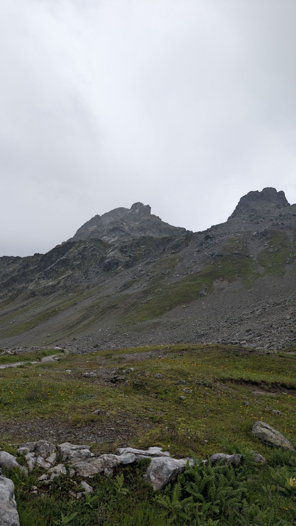
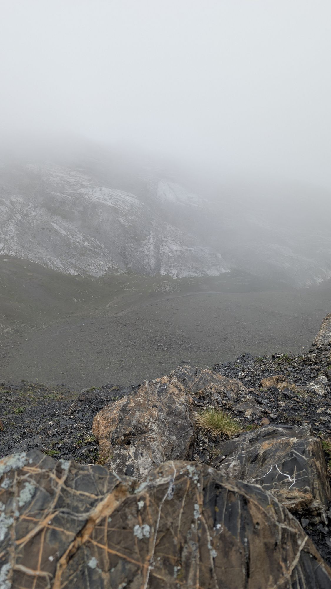
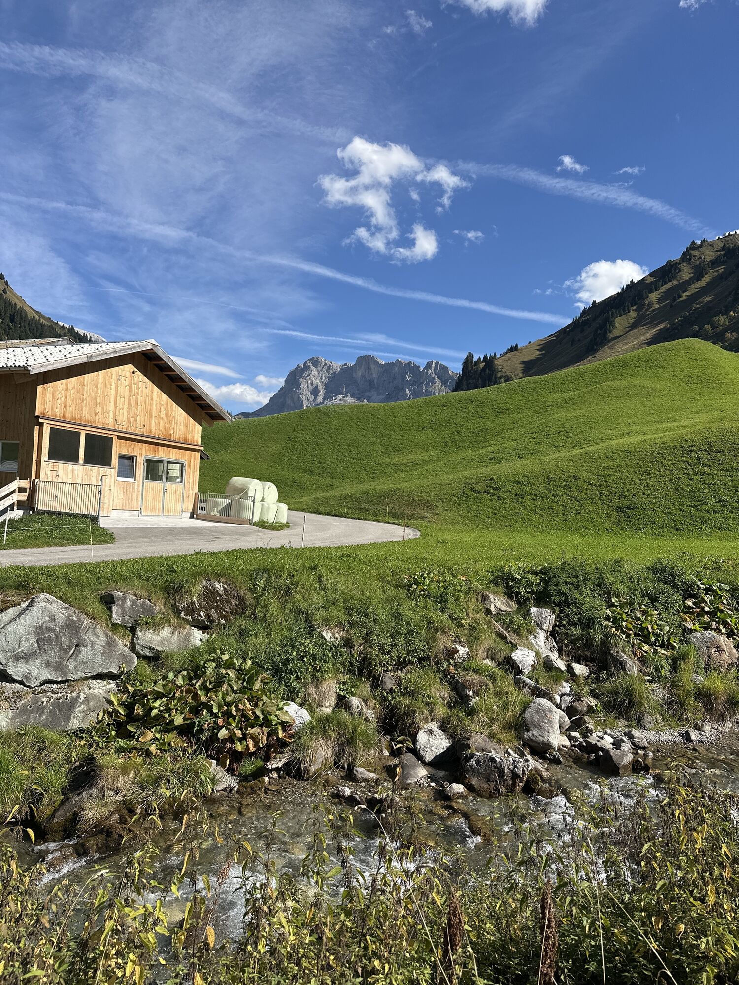
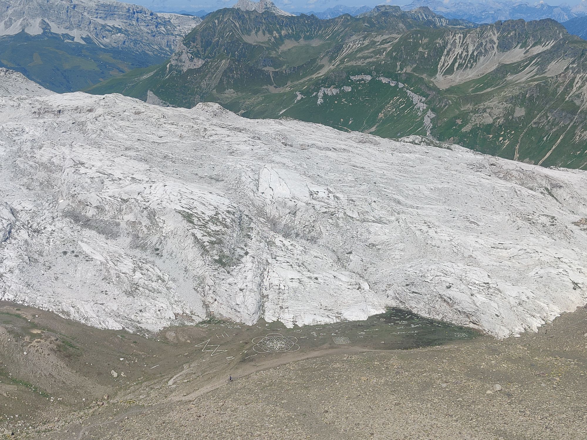
From Klosters Dorf, the Madrisa cable car takes you up to the Madrisa mountain station (1884m). Already the first panoramic view offers a magnificent mountain panorama. Those who wish can fortify themselves...
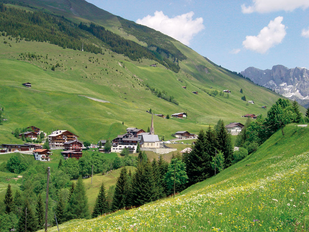
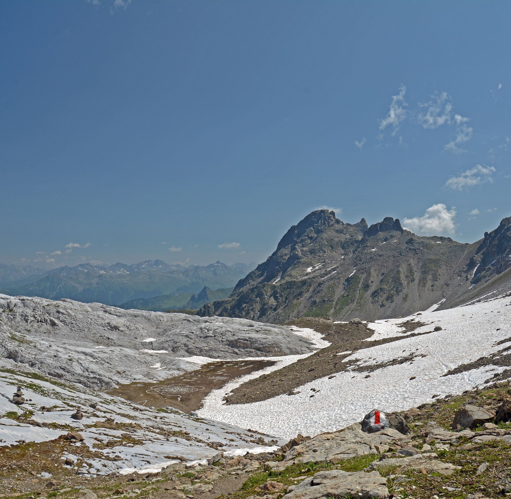
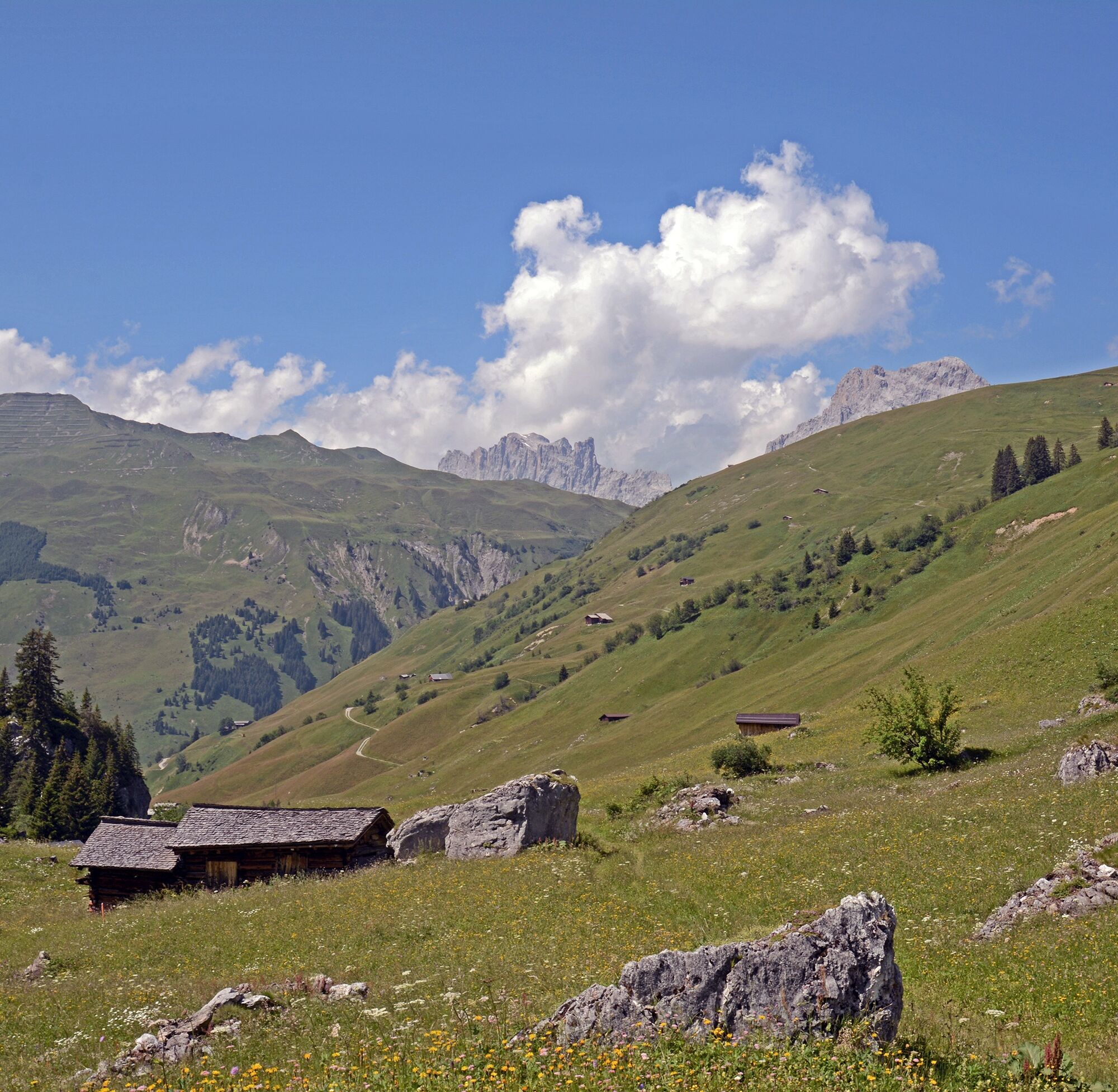
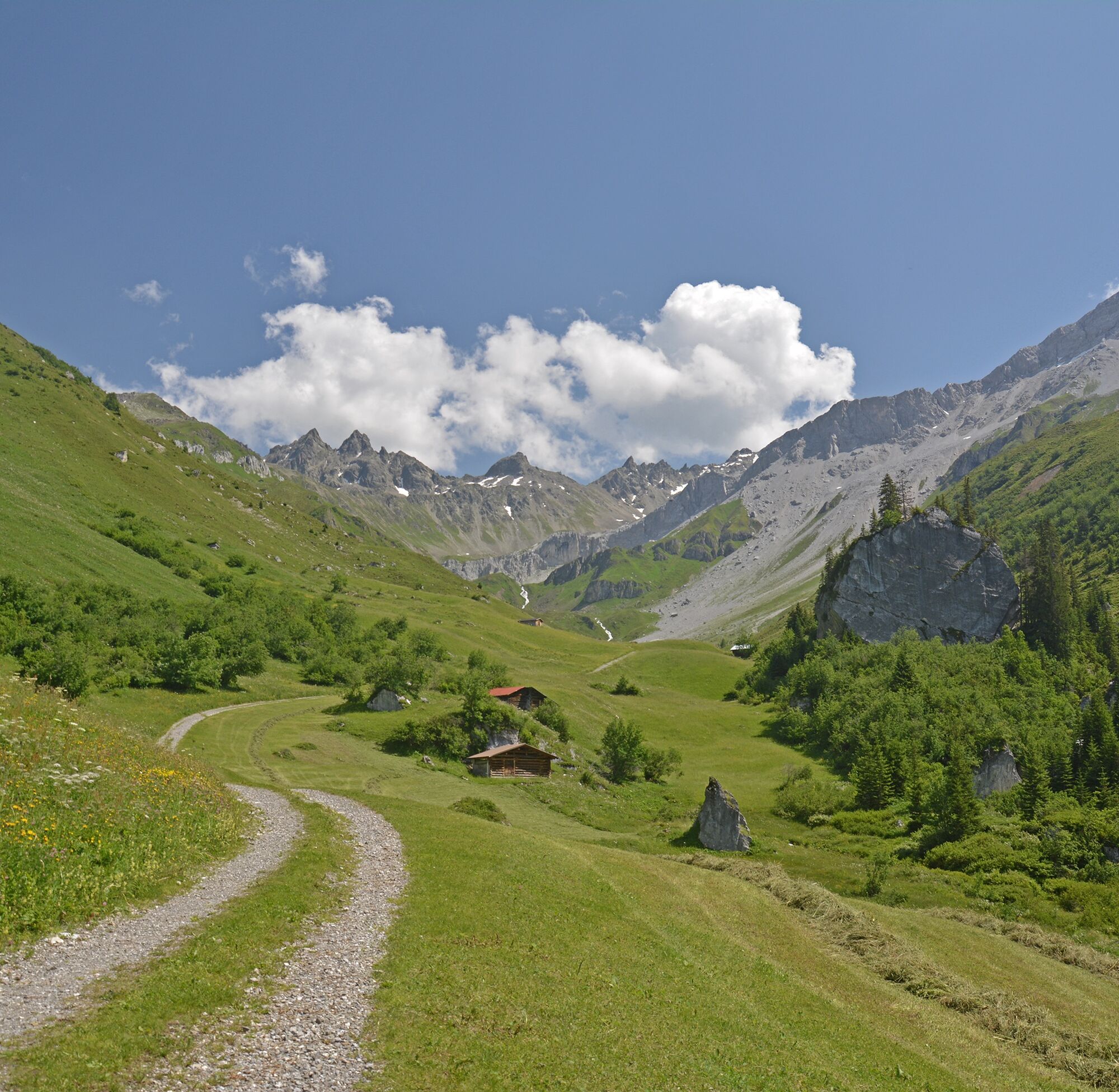
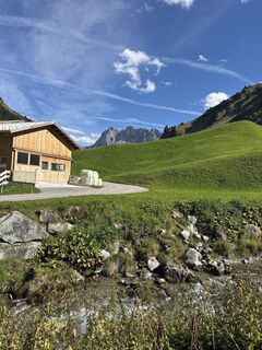
Behind the Rätschenjoch, the descent begins. A short stretch follows along the karst rock and by point 2304m you have already passed several rock steps. Behind an apparently impassable rock wall, a scree field appears, and with the necessary caution you descend along the right rock face. The path then leads along the slope to point 2004m. Soon it flattens out and the settlement Sunnistafel (1747m) is reached. Via the alpine road you reach the settlement Rüti (1461m). The view back shows almost the entire route.


Da
Da
Da
Coming from Zurich / St. Margrethen, leave the A13/E43 motorway at Landquart towards Landquart, Davos, Vereina. Drive on the N28 to Klosters Dorf.
You can park your car for free in the parking lot of the Madrisa mountain railway. In Klosters Platz, all parking spaces are subject to a fee.
Pany-St. Antönien Tourism
Panyerstrasse 39
CH-7243 Pany
Tel. +41 81 300 32 22
info@pany-stantoenien.ch
www.pany-stantoenien.ch
Prättigau Marketing
Feldweg 19
CH-7233 Jenaz
Tel. +41 (0)81 325 11 11
info@praettigau.info
praettigau.info
Spletne kamere s turneje
-
Sportzentrum Klosters
-
Sportzentrum Klosters
-
Sportzentrum Klosters
-
Sportzentrum Klosters
-
Sportzentrum Klosters
-
Sportzentrum Klosters
-
Gargellen - Haus Gadafent
-
Madrisa Bergstation / Kinderland
-
Madrisa Bergstation / Kinderland
-
Madrisa Bergstation / Kinderland
-
Madrisa Bergstation / Kinderland
-
Madrisa Bergstation / Kinderland
-
Madrisaland
-
Madrisaland
-
Madrisaland
-
Madrisaland
-
Madrisaland
-
St. Antönien - Skilift
-
Skilift St. Antönien
-
Madrisa Bergstation / Kinderland
-
Gargellen
-
St. Antönien - Bord / Aschüel
-
Gargellen Süd
-
Gargellen West
-
Berghaus Sulzfluh
-
Berghaus Sulzfluh
-
Berghaus Sulzfluh
-
Gargellen - Alpenhaus Montafon



Priljubljeni izleti v okolici
-
4.4
Golmerbahn Bergstaion Grüneck - Golmer Höhenweg - Geißspitze - Lindauer Hütte - Latschau
srednjaPohodništvo 11.5 km -
4.8
Douglasshütte, Lünersee, Gafalljoch Brand bei Bludenz, Vorarlberg
svetlobaPohodništvo 9.16 km -
4.9
Sulzfluh via ferrata, St. Antönien
težkoVia ferrata 11.3 km -
3.0
Bergstation Grüneck Golmerbahn - Alpe Latschätz - Lindauer Hütte - Latschau
svetlobaPohodništvo 11.1 km -
4.7
Lünerseebahn Bergstation - Lünersee Alpe - Douglasshütte
srednjaTrailrunning 6.10 km -
5.0
Golmerbahn Bergstation Grüneck - Matschwitz - Latschau
svetlobaPohodništvo 9.94 km -
4.7
702 Schijenfluh Circuit
srednjaPohodništvo 12.2 km -
5.0
Großer Turm
srednjaSmučarska tura 10.8 km -
5.0
Chrüz
svetlobaSmučarska tura 4.39 km -
4.3
Am Golmrundweg
srednjaPohodništvo 9.20 km
Pohodništvo in sledenje


Ne zamudite ponudb in navdiha za naslednje počitnice
Vaš e-poštni naslov je bil dodan na poštni seznam.





