


Chrüz
Fotografije naših uporabnikov
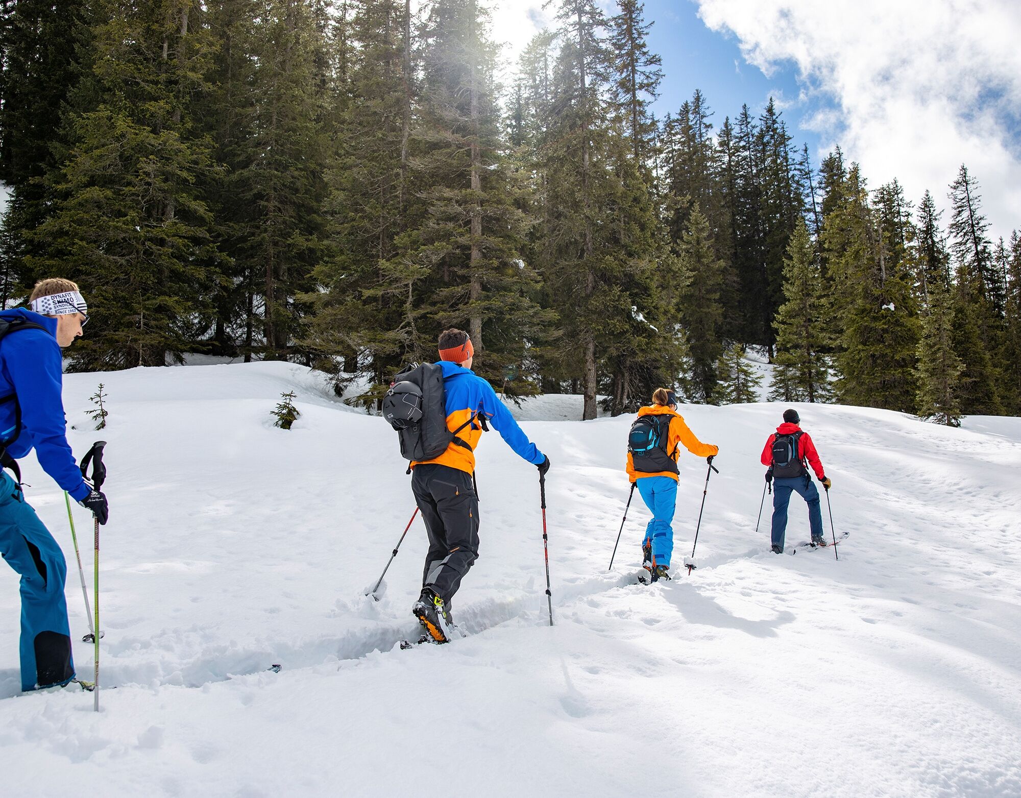
The ascent from St. Antönien to Aschüel runs westward crossing the ski lift. Then the ski route follows the marked winter hiking trail through the Wildlife Sanctuary Riedbüel. Out of respect for nature,...
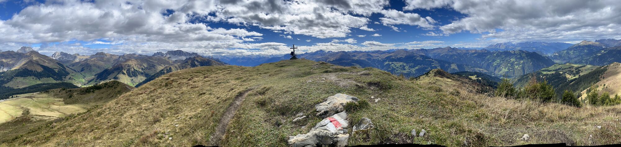
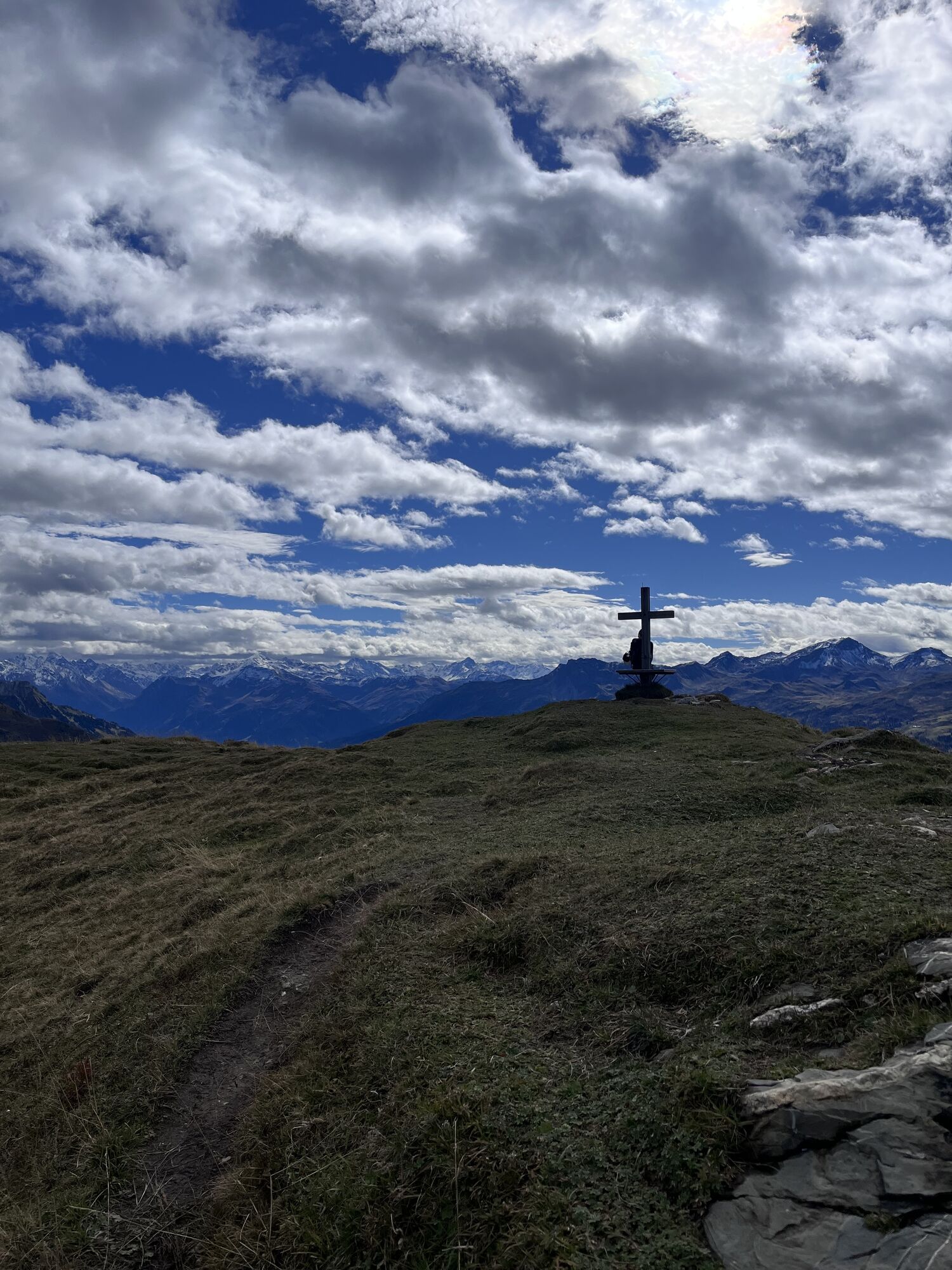
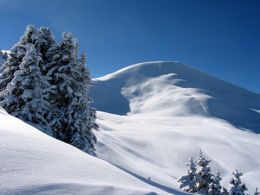
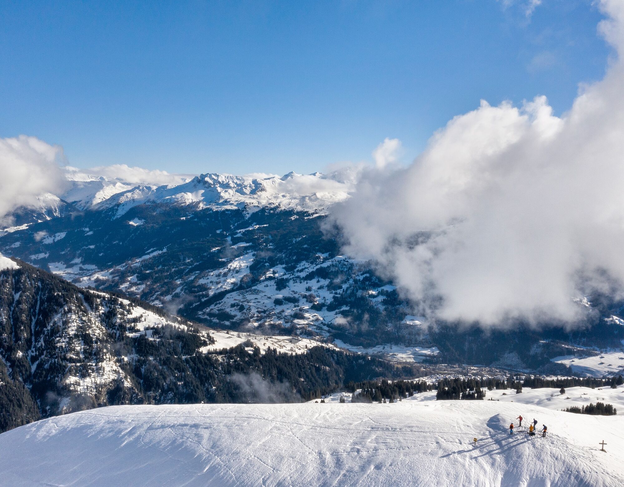
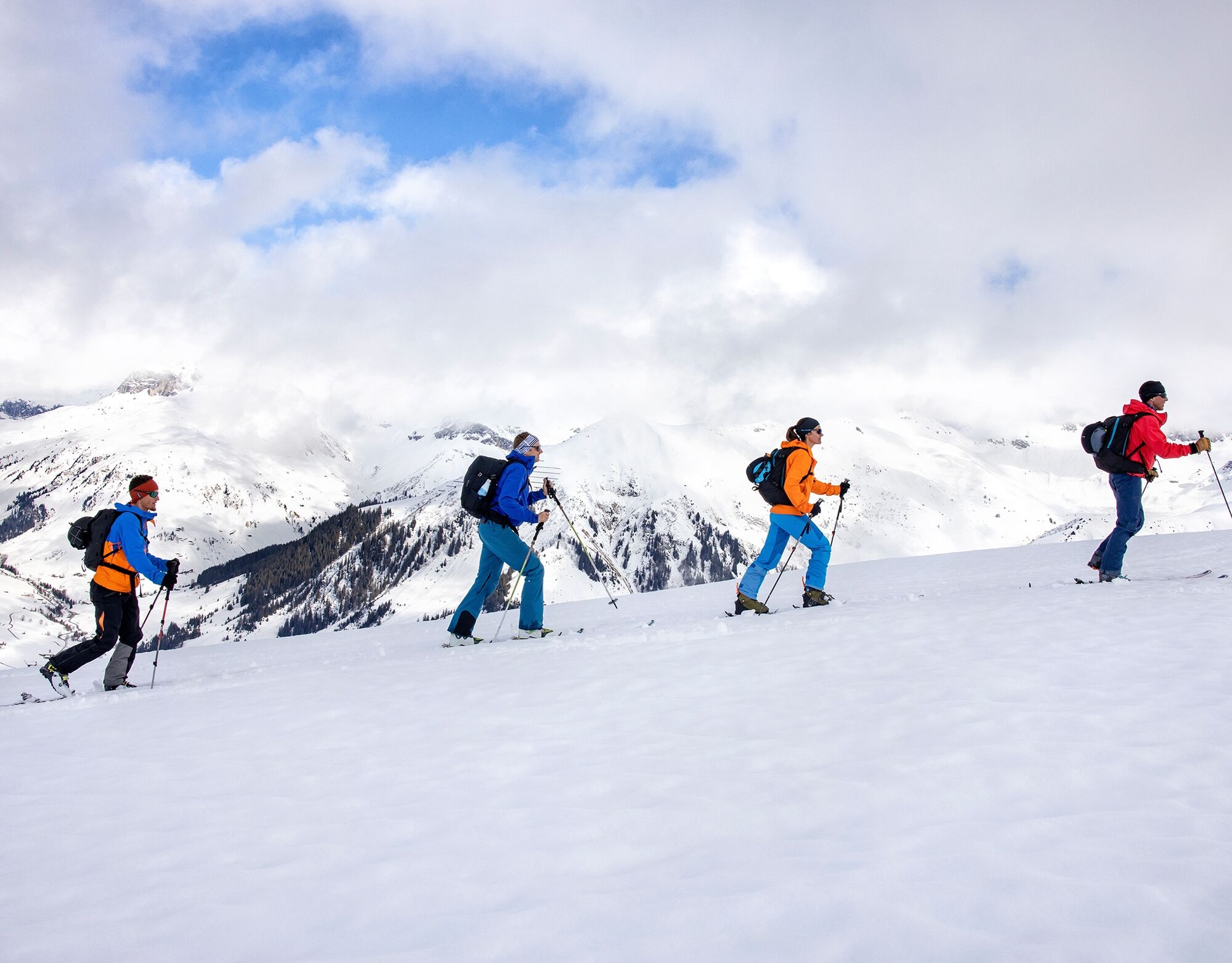
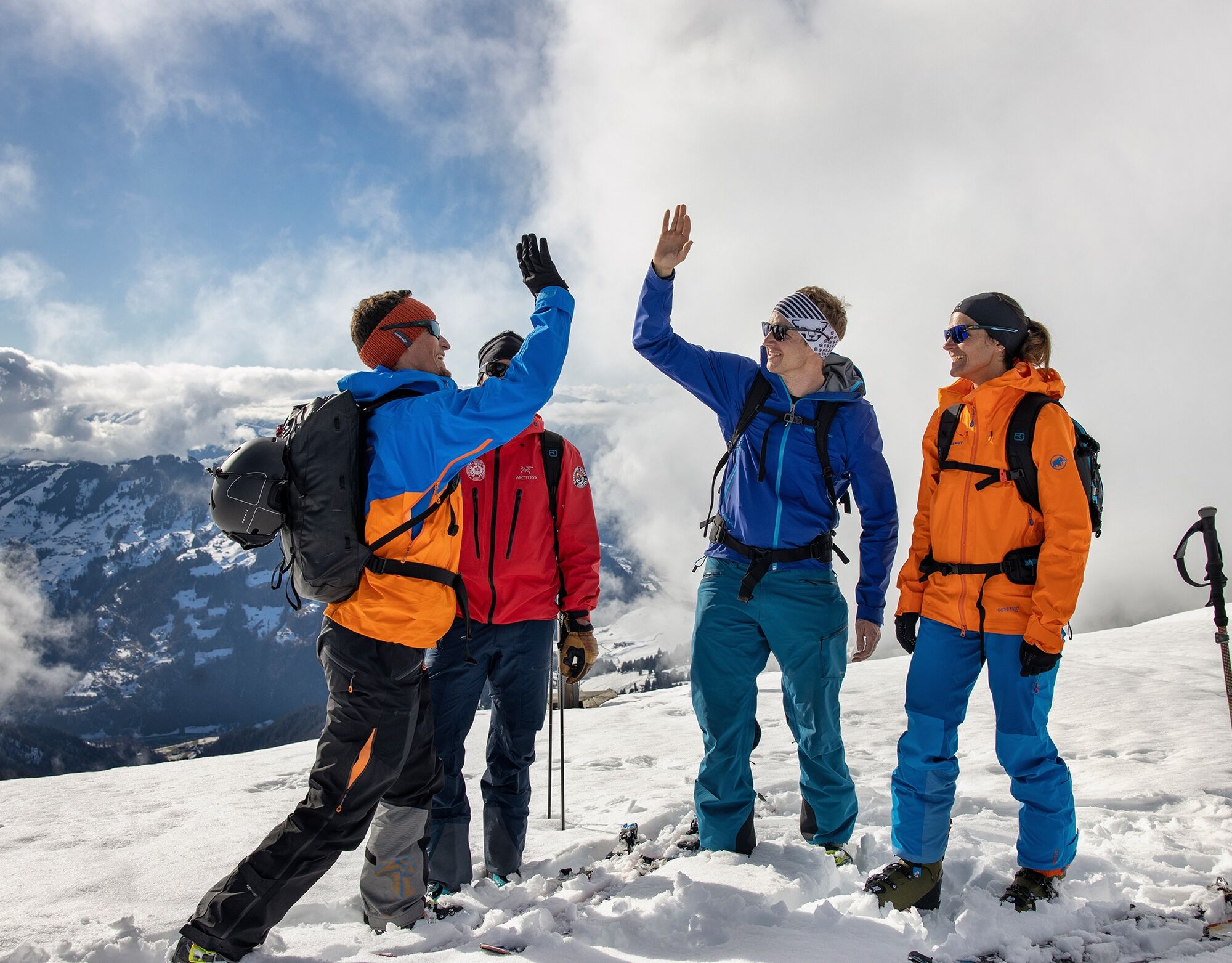
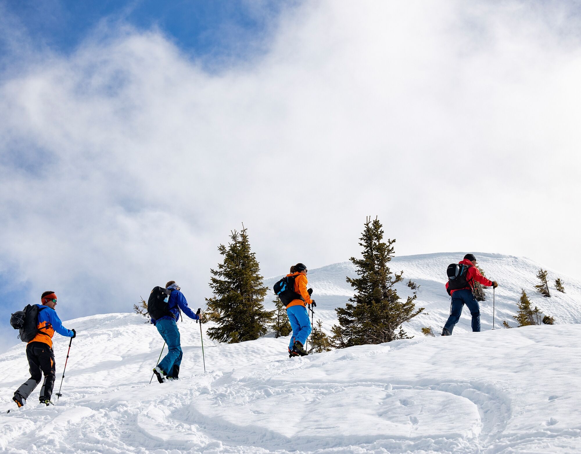
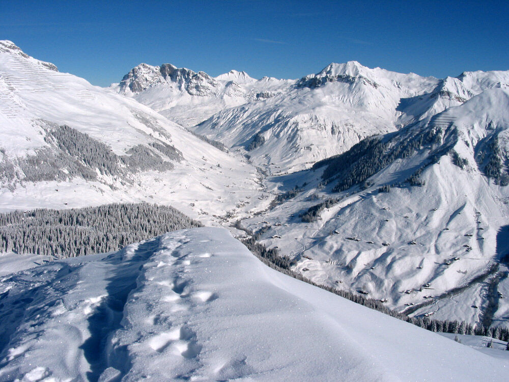
The ascent from St. Antönien to Aschüel runs westward crossing the ski lift. Then the ski route follows the marked winter hiking trail through the Wildlife Sanctuary Riedbüel. Out of respect for nature, this section is only crossed on the trail. Shortly before Alp Valpun (1882 m a.s.l.) the route turns southwards and ascends via the easy northern ridge to Chlei Chrüz (2103 m a.s.l.). The final ascent over the eastern ridge to Chrüz (2196 m a.s.l.) is short but steep. From the summit almost the entire Prättigau with its impressive Rätikon ridge in the north should be visible.
Various descent options to St. Antönien, Gadenstätt or Pany are possible.

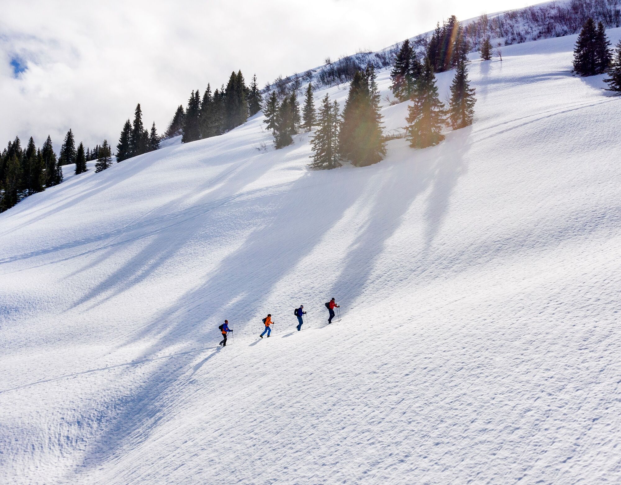

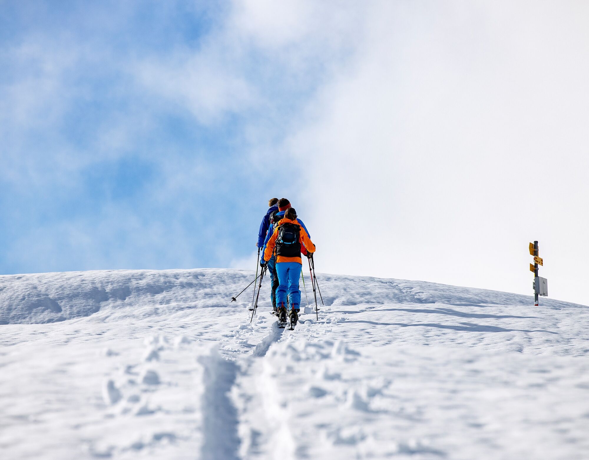
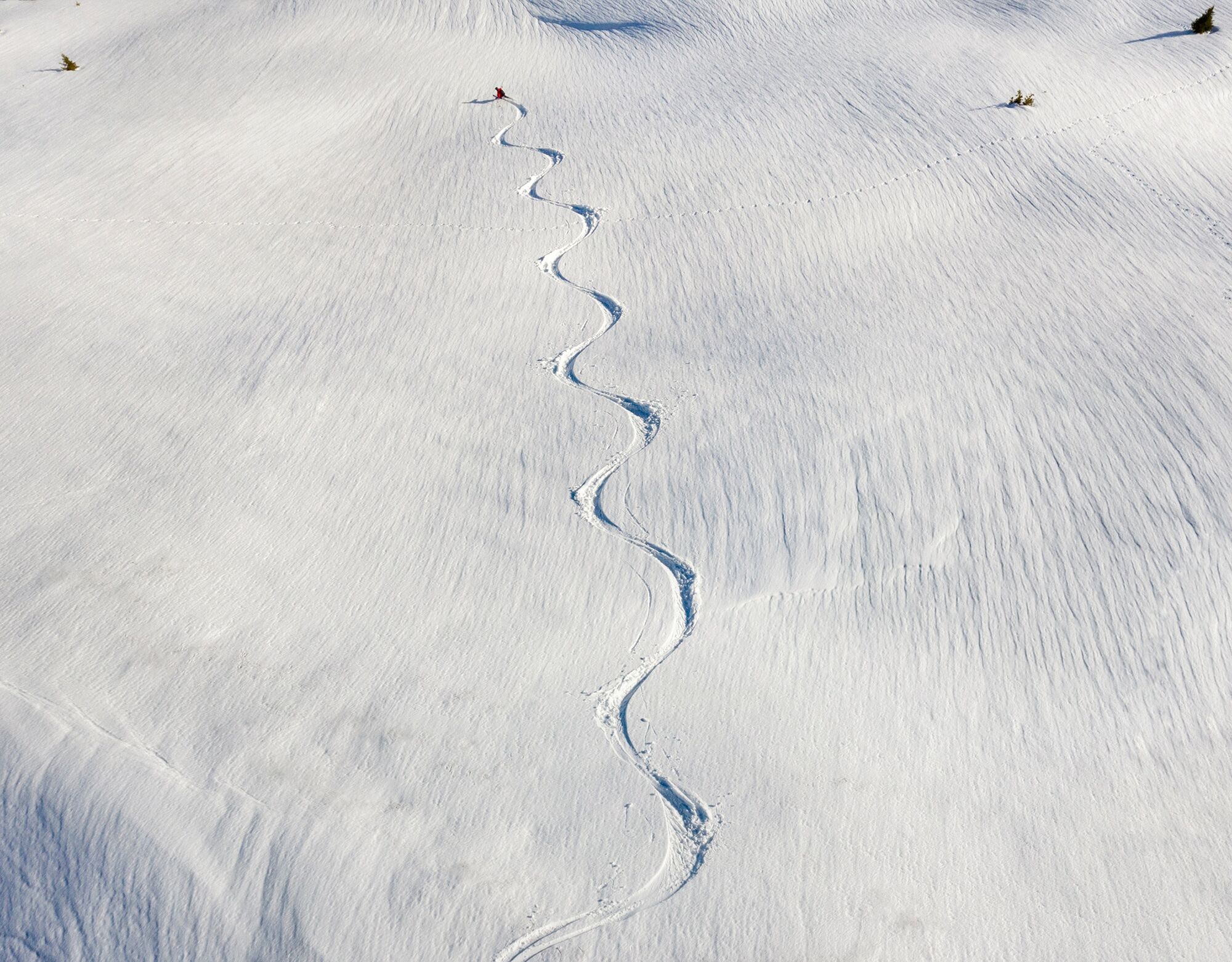
St. Antönien (1420 m a.s.l.) - Aschüel - Alp Valpun (1882 m a.s.l.) - Chlei Chrüz (2102 m a.s.l.) - Chrüz (2195 m a.s.l.).
Da
Da
Ski route in unsecured terrain. Complete safety equipment (avalanche transceiver, avalanche shovel, avalanche probe, mobile phone) and knowledge of proper handling are essential.
The ski and snowshoe routes are to be understood as general directional indications. Depending on conditions, ascent and descent routes must be adjusted. No guarantee can be given for the accuracy, completeness and timeliness of the information.
Engaging in ski touring in open terrain is at your own risk. Every tour participant is strongly advised to thoroughly prepare, plan the route and obtain up-to-date information on snow and avalanche conditions. Avalanche report and snow info: www.slf.ch
Any liability for accidents resulting from the use of the published information and route instructions is excluded.
In case of doubt, have experienced tourers or a mountain guide accompany you: www.praettigau.info/bergfuehrer
Via the A13 and A28 to Küblis, then follow Luzeinerstrasse to Pany / St. Antönien.
By Rhaetian Railway RhB to Schiers or Küblis and by post bus to St. Antönien. (timetable field 90.218 or 90.222)
All parking lots in St. Antönien are subject to a fee. Parking can be paid with cash, Parkingpay app, Easy-Park or Twint. The parking lot P21 is located at Aschüel.
Prättigau Marketing
Feldweg 19
CH-7233 Jenaz
Tel. +41 (0)81 325 11 11
info@praettigau.info
www.praettigau.info
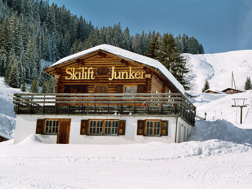
Those who use the Junker ski lift in St. Antönien can shorten the ascent by about 200 meters to 600 meters of elevation gain.
Priljubljeni izleti v okolici
-
4.7
Smuggler’s path
srednjaTematska pot 8.60 km -
5.0
Douglasshütte, Lünersee, Gafalljoch Brand bei Bludenz, Vorarlberg
svetlobaPohodništvo 9.16 km -
4.4
Golm-Rundwanderweg im Rätikon
srednjaTematska pot 7.28 km -
5.0
Ski tour to the Lindauer Hut (1,744 m)
svetlobaSmučarska tura 14.0 km -
3.5
Golmer Höhenweg
srednjaPohodništvo 13.8 km -
4.4
Madrisella summit path
srednjaTematska pot 10.8 km -
4.5
Vandans - Heinrich Hueter Hütte über Gipsköpfle
svetlobaPohodništvo 7.97 km -
Vandans – Zimbajoch - Brand
srednjaPohodništvo 12.7 km -
5.0
Gauertaler AlpkulTour
srednjaTematska pot 11.2 km -
4.8
Gargellner Window Path
srednjaTematska pot 7.21 km

Pohodništvo in sledenje


Ne zamudite ponudb in navdiha za naslednje počitnice
Vaš e-poštni naslov je bil dodan na poštni seznam.