


Thalkirch, Turra - Z'hinderst - Thalkirch, Turra
Stopnja težavnosti: T1
At the beginning of the hike, the path winds through a reforestation with pines. This place is especially an important retreat area for many animals in winter. Shortly afterwards, the compensation basin...
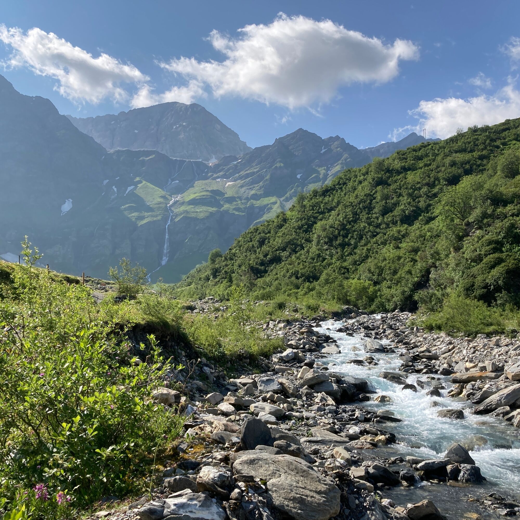
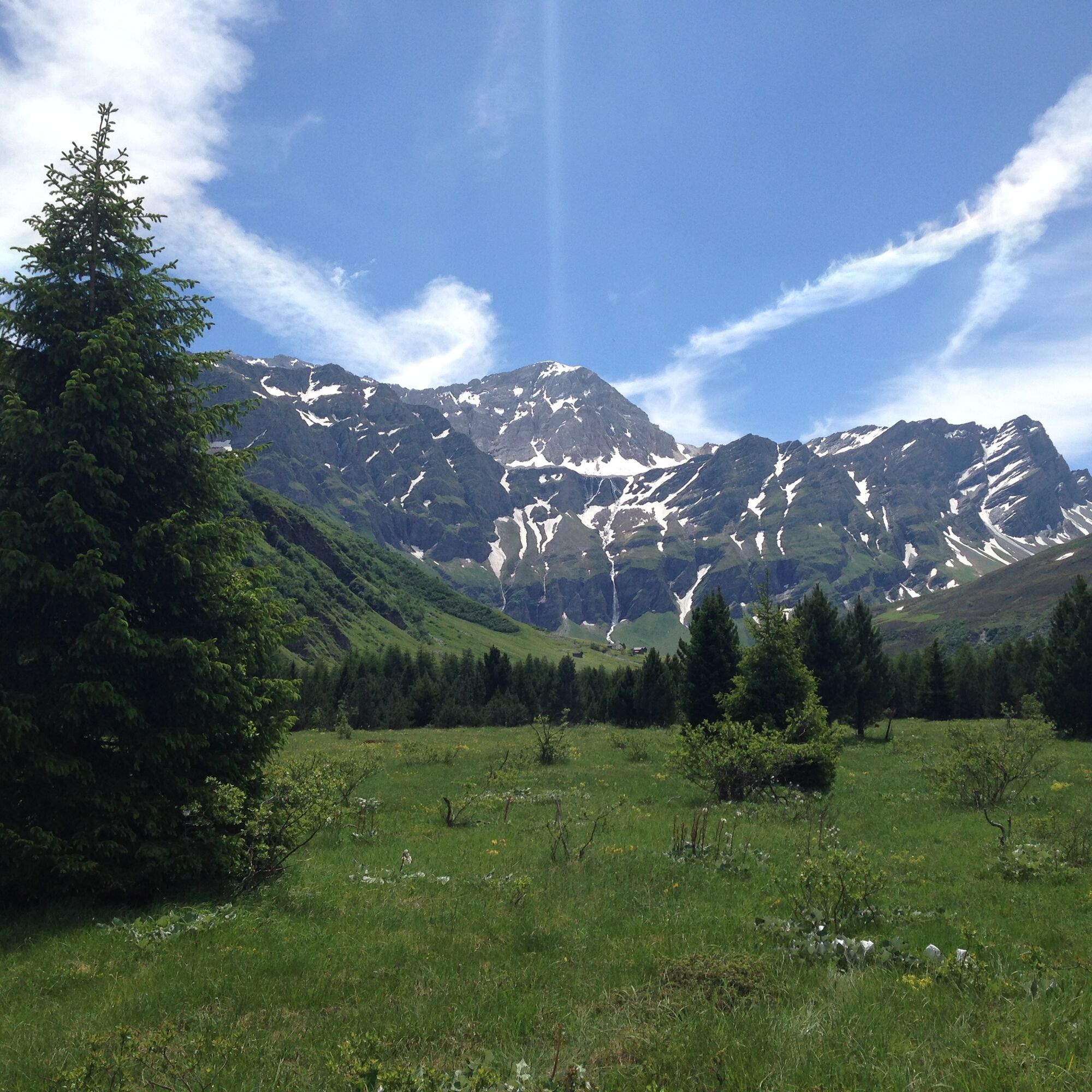
At the beginning of the hike, the path winds through a reforestation with pines. This place is especially an important retreat area for many animals in winter. Shortly afterwards, the compensation basin of the Zervreila power plants dominates the valley floor, before you reach the wild Rabiusa river and follow it upstream. The path reaches the alpine road, which leads to Alp Piggamad and further to Z'hinderscht. Here you feel like you are in an amphitheater. It is not far from here to the already visible and audible waterfall. On the bridge below the waterfall, the power of the falling water is clearly perceptible.
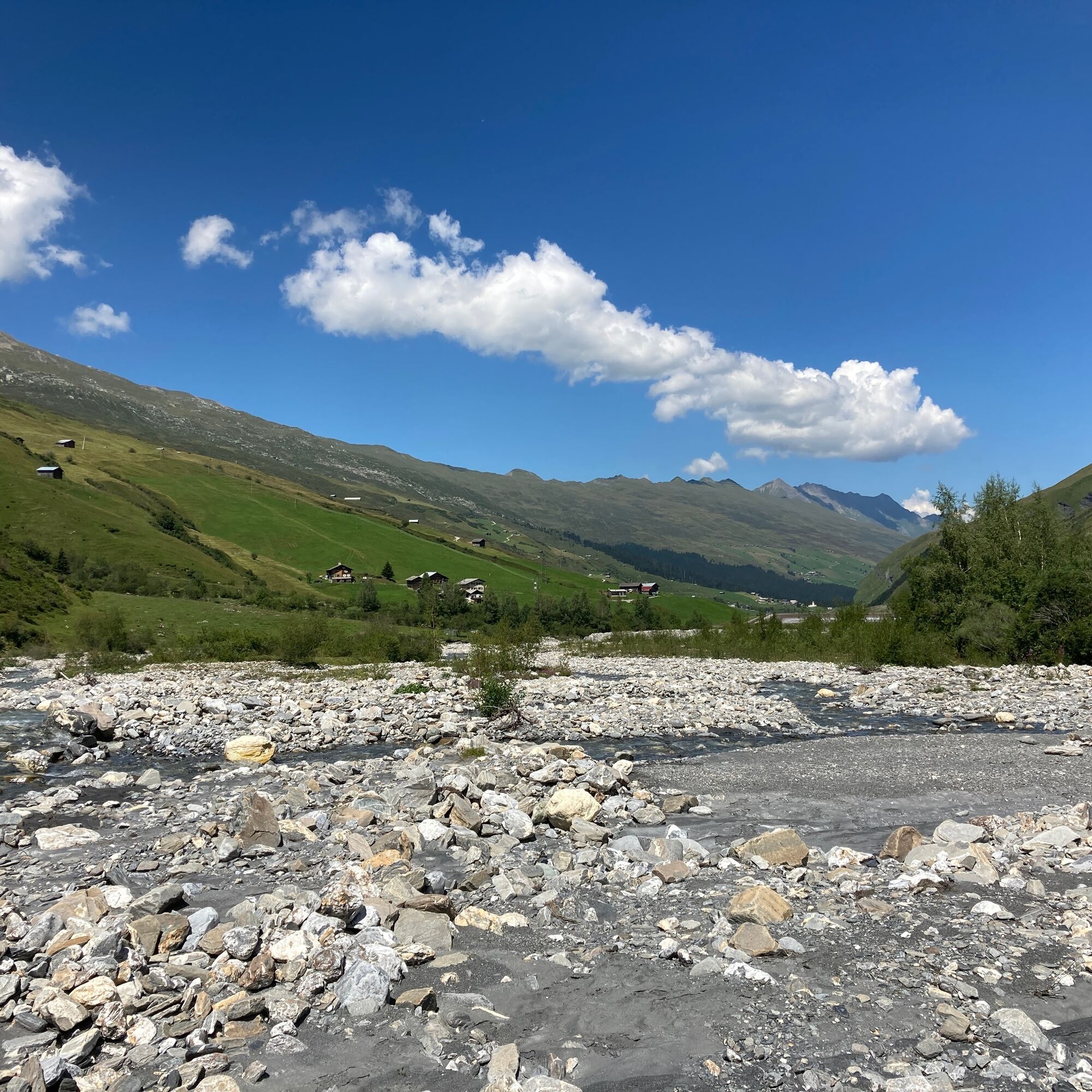
On the way back, follow the alpine road from Alp Piggamad to the compensation basin, then back along the hiking trail to Thalkirch Turrahus.
Along the hiking trail, you will find a variety of different plants and flowers.

Da
Da
Good hiking shoes with a good tread, weather-appropriate clothing (rain jacket/sun protection), change of clothes, first aid kit, drink, food, possibly hiking poles.
Observe the instructions regarding behavior around cattle and close fences and gates.
In uncertain weather conditions, the route should not be attempted. Weather changes in the mountains are frequent. If a rain front or similar arises during the hike, you should turn back in good time.
from Versam via Safien Platz to Thalkirch, Turrahus
Arrival by Rhaetian Railway to Versam-Safien. Change to the postal bus and travel to Thalkirch, Turrahus
Few parking spaces on the road (left side) shortly before Thalkirch, Turrahus or at Thalkirch, Turrahus
T1
Exhibition stable of the Safier Ställe association near Thalkirch, Turra
Thalkirch Church
Priljubljeni izleti v okolici
-
Piz Fess 2880m, der Stolze
težkoPohodništvo 12.8 km -
5.0
Panorama route
svetlobaPohodništvo 5.39 km -
5.0
Hiking route Suspension Bridge Val da Tersnaus
srednjaPohodništvo 3.24 km -
3.3
3-lake hike
srednjaPohodništvo 12.8 km -
5.0
Winter hike Gadastatt - Frunt - Zerfreila (Panorama trail)
svetlobaZimsko pohodništvo 5.36 km -
5.0
Southeast Switzerland Hiking Day Vals 2017
svetlobaPohodništvo 11.8 km -
5.0
Hike Vrin - Uors over the suspension bridge Val da Silgin
srednjaPohodništvo 12.3 km -
3.5
Places of Magic - Lumbrein
srednjaPohodništvo 8.74 km -
Fanellhorn 3124 m
težkoVisokogorska tura 6.86 km -
4.0
Senda culturala Lumnezia / Kulturweg Lumnezia
svetlobaTematska pot 7.54 km
Pohodništvo in sledenje


Ne zamudite ponudb in navdiha za naslednje počitnice
Vaš e-poštni naslov je bil dodan na poštni seznam.