







Winter hike Gadastatt - Frunt - Zerfreila (Panorama trail)
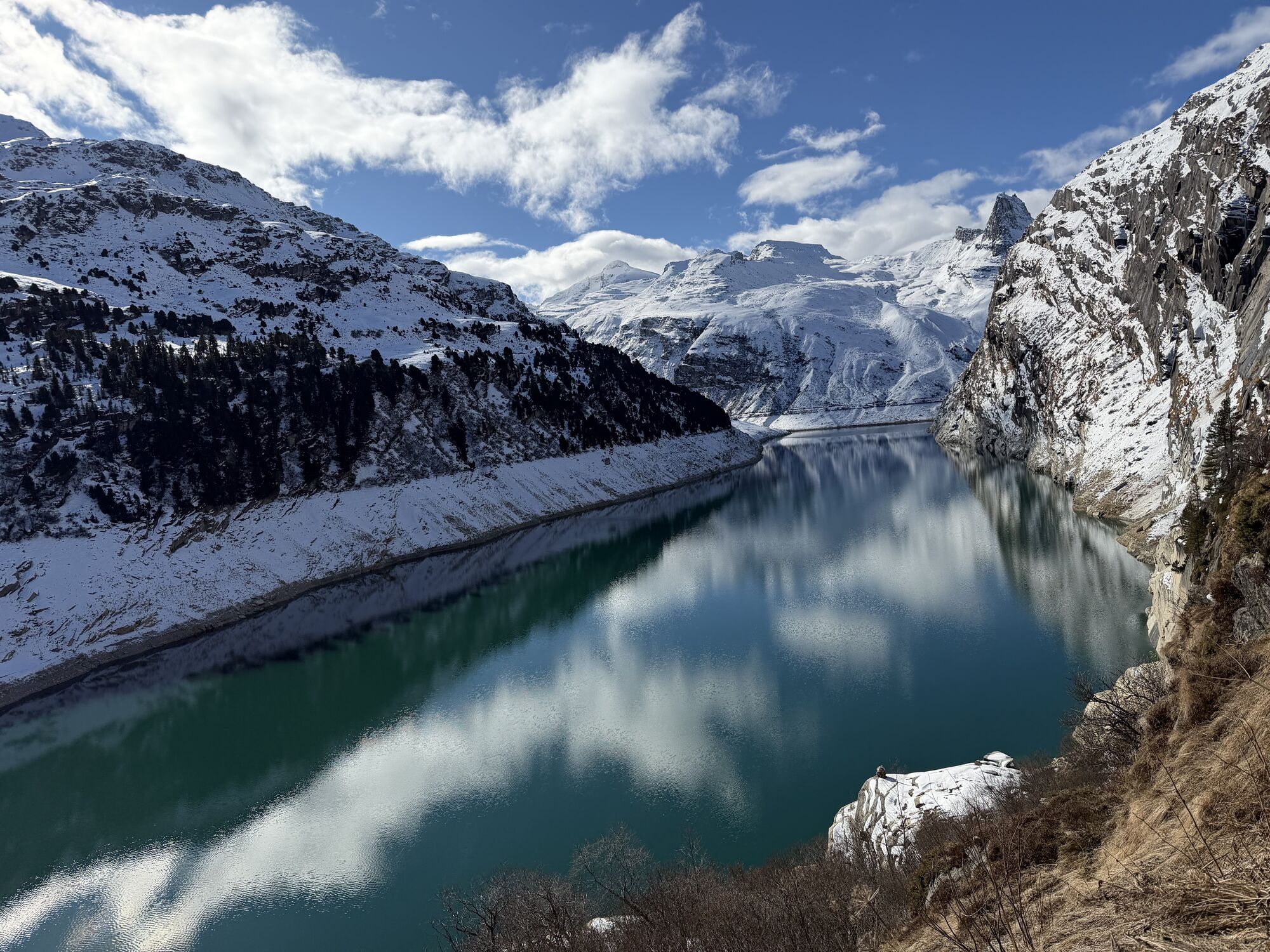
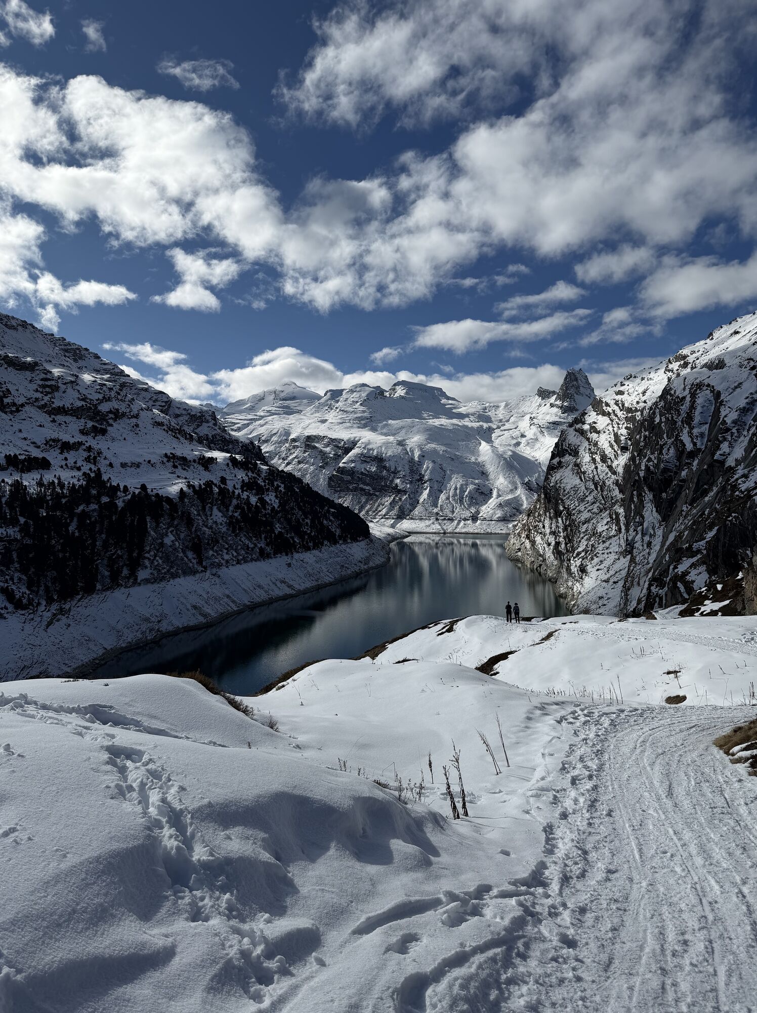
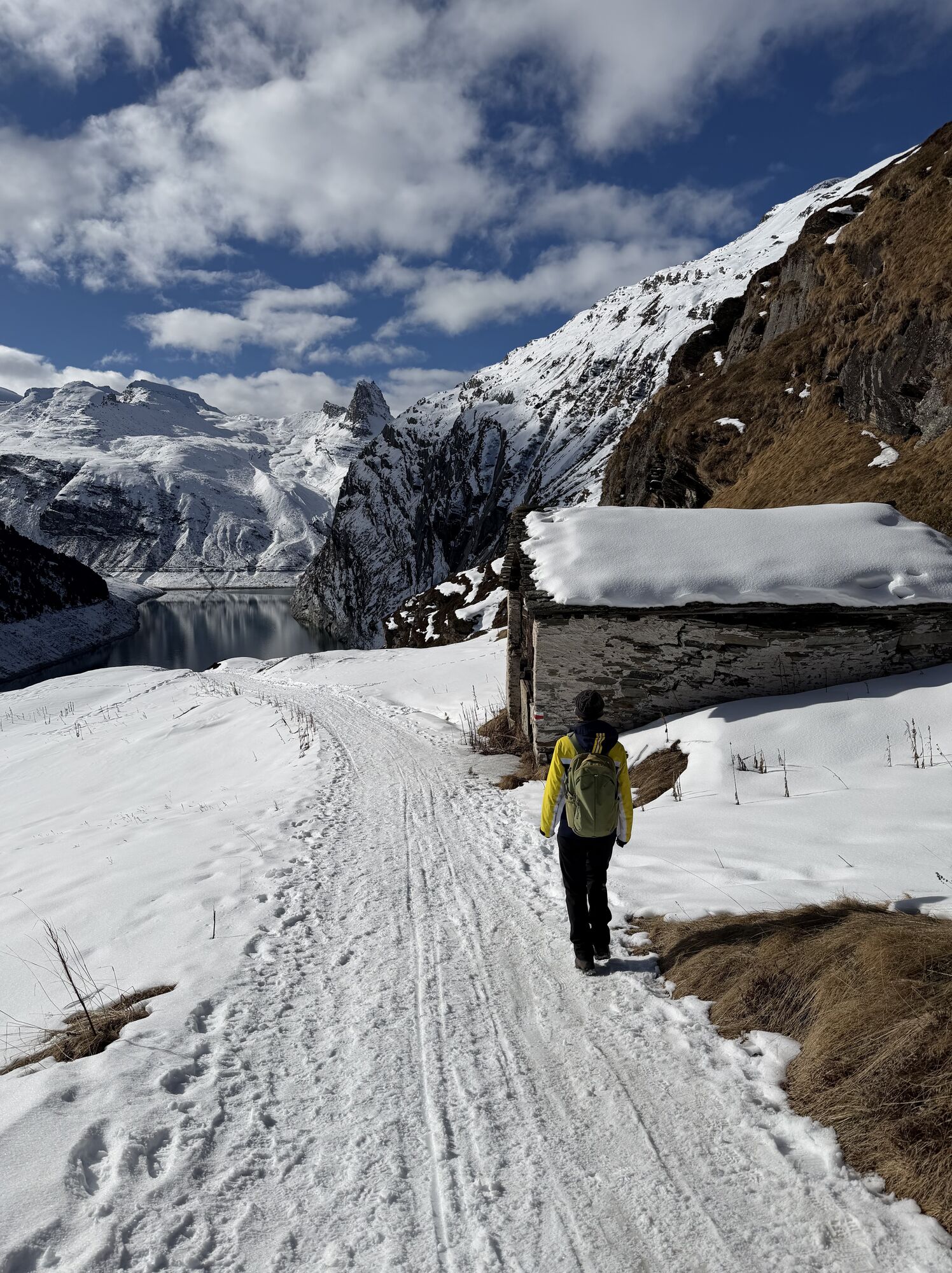
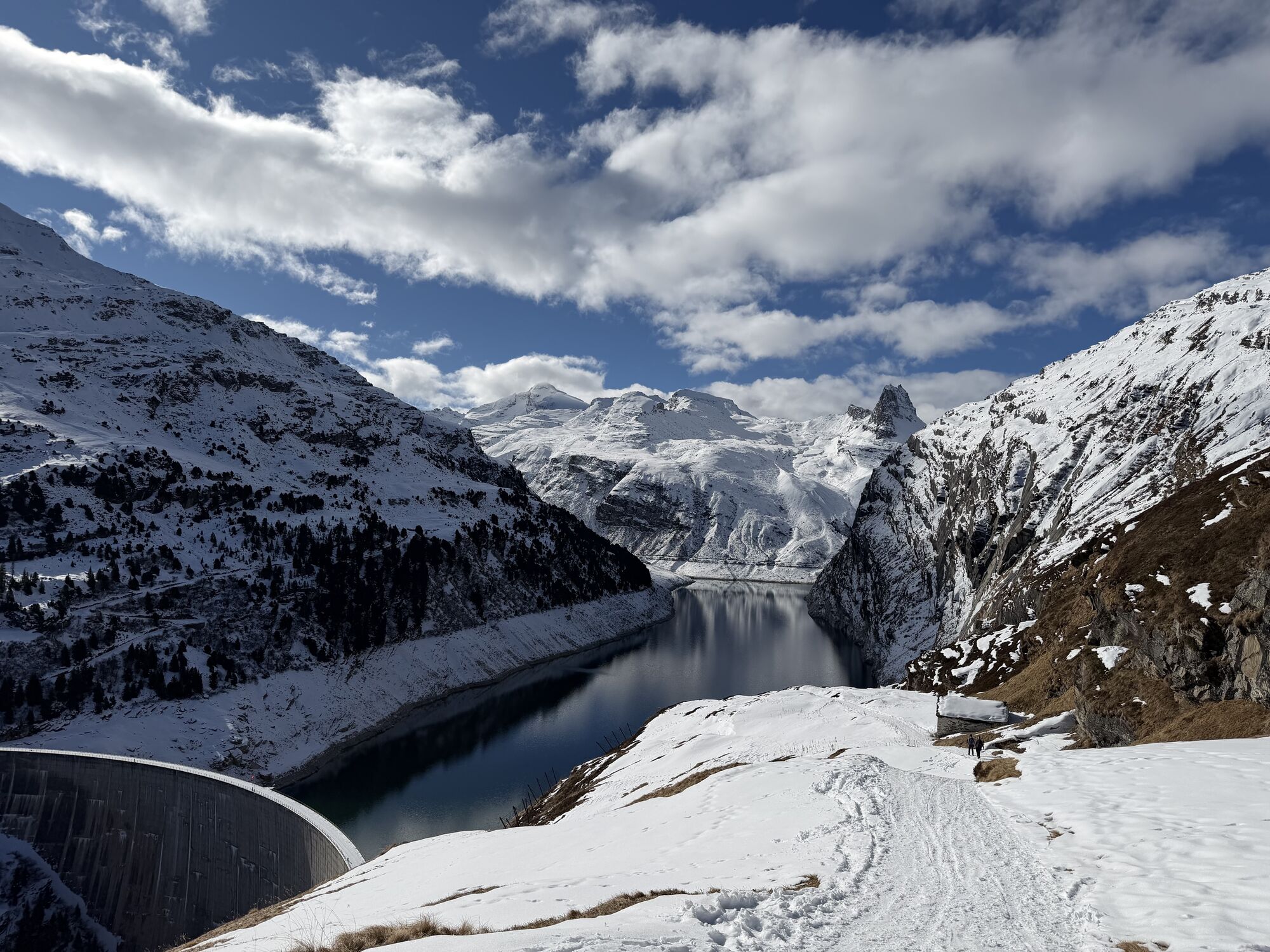
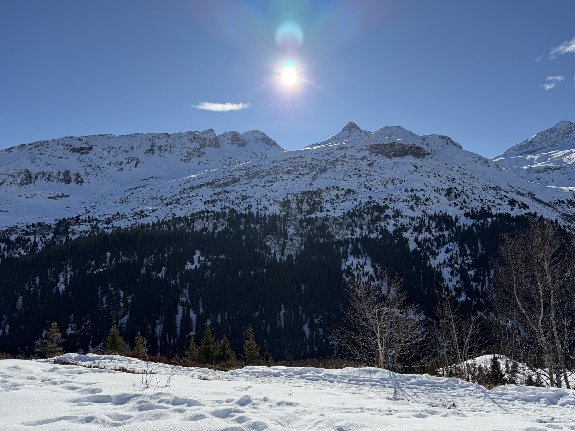
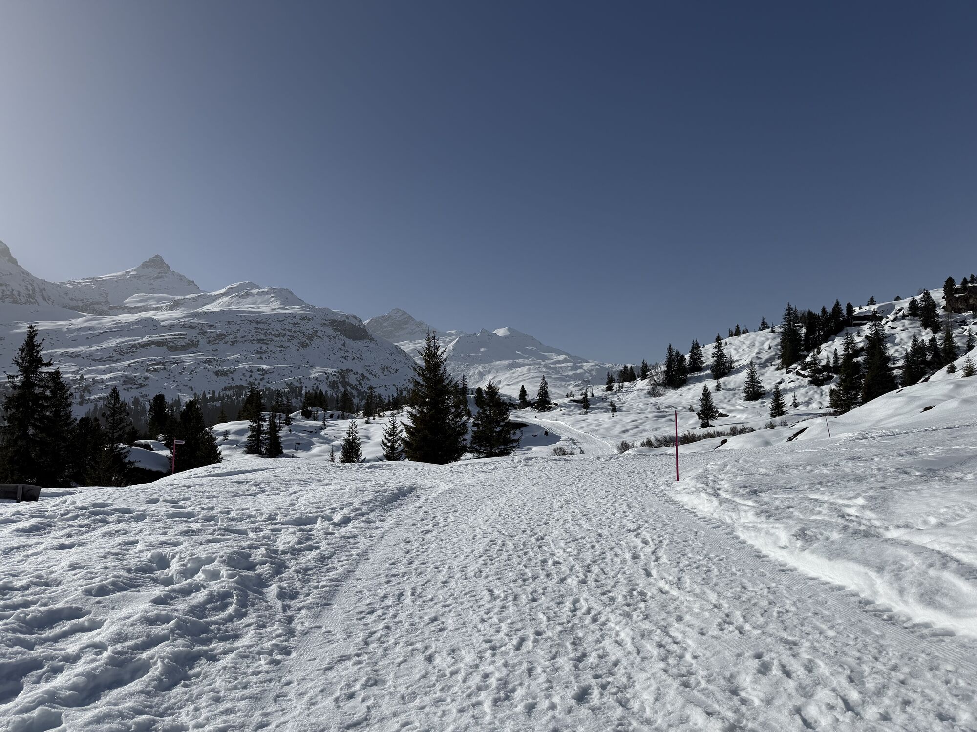
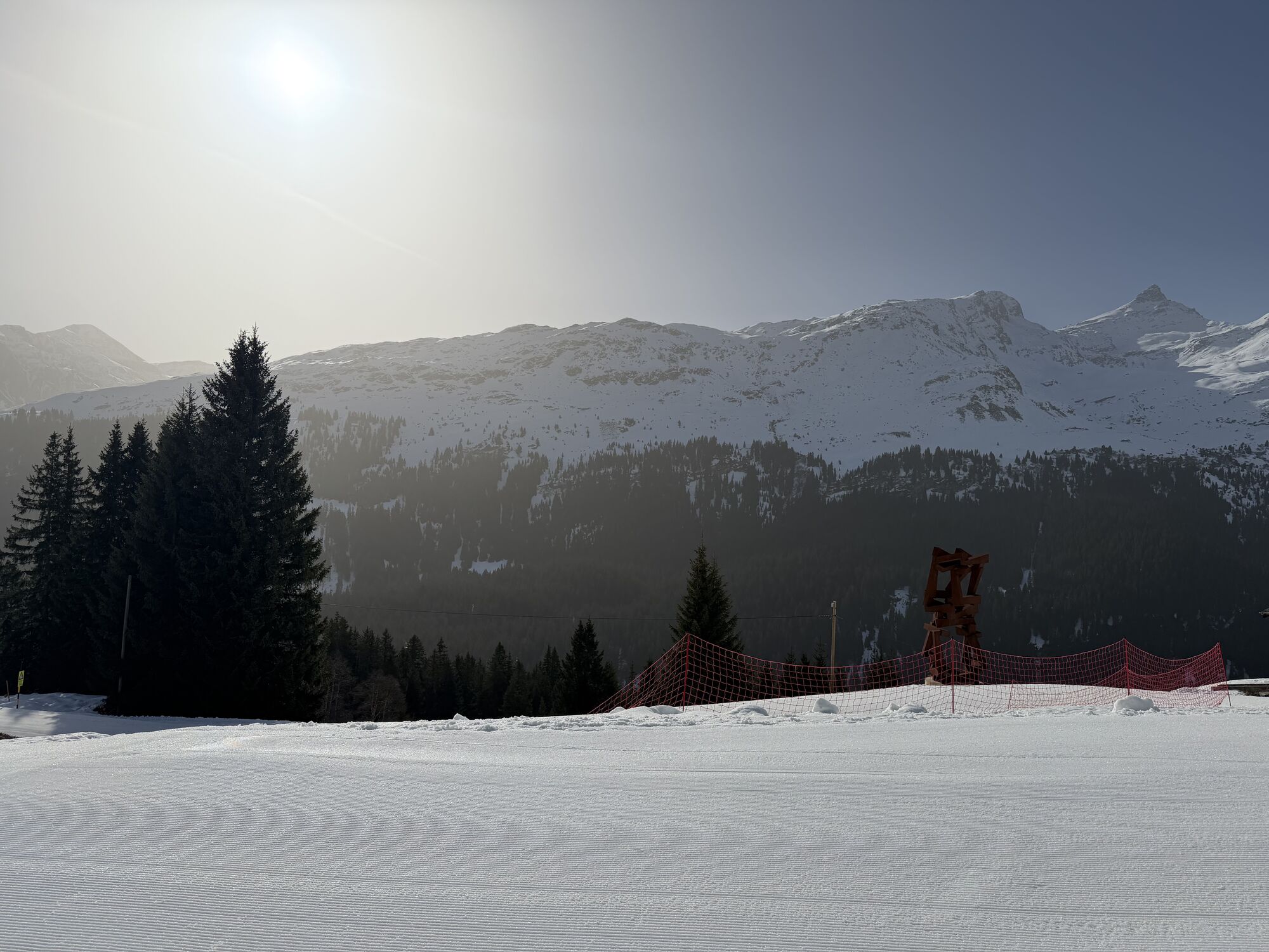
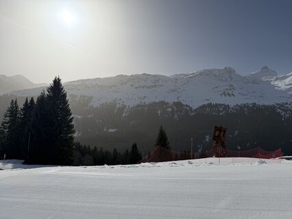
On the route from Gadastatt to Zerfreila, you enjoy the impressive panorama on the opposite side of the valley. You walk through a snow-covered moorland and over an alpine area "dressed" in white. Above...
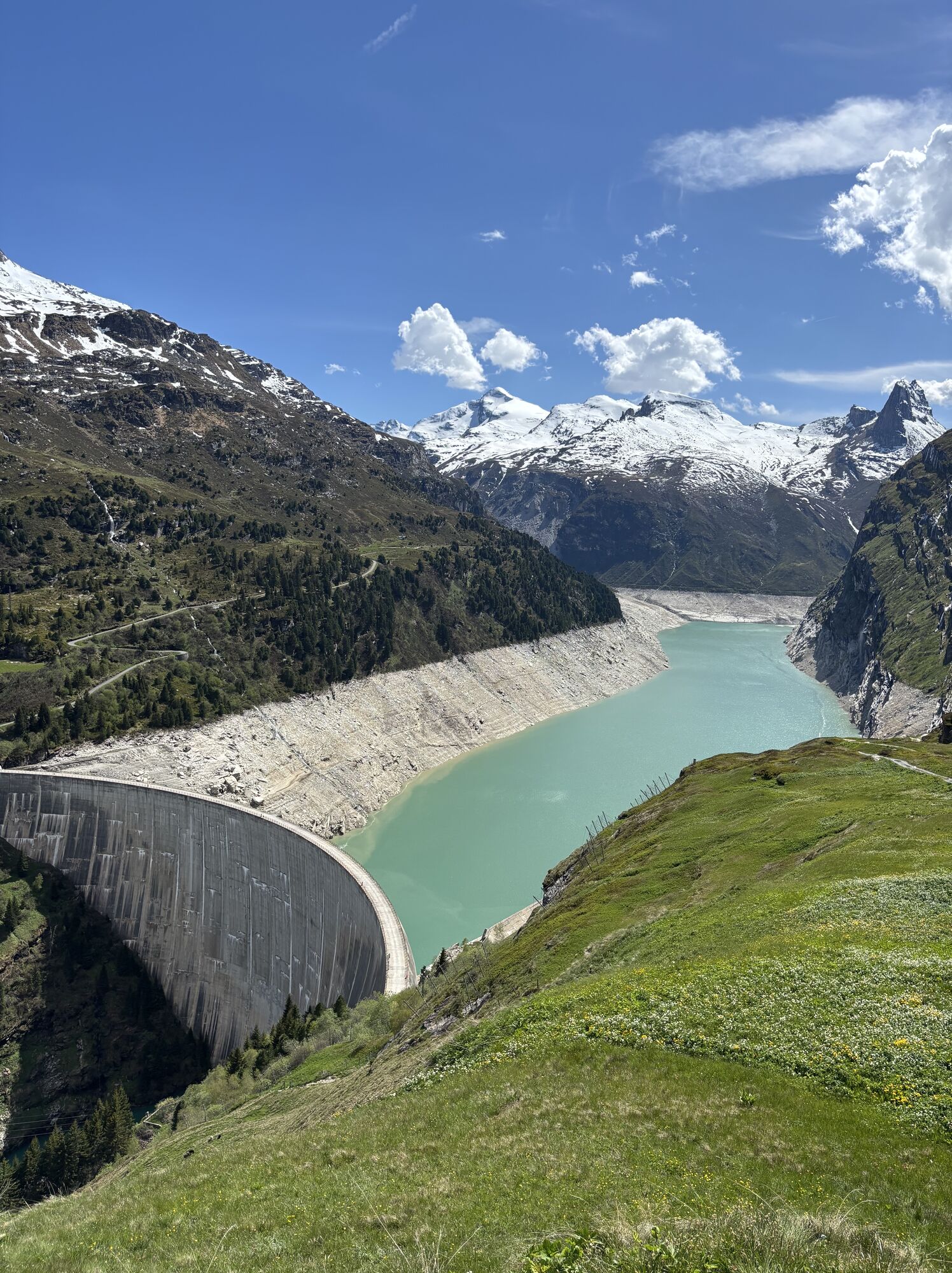
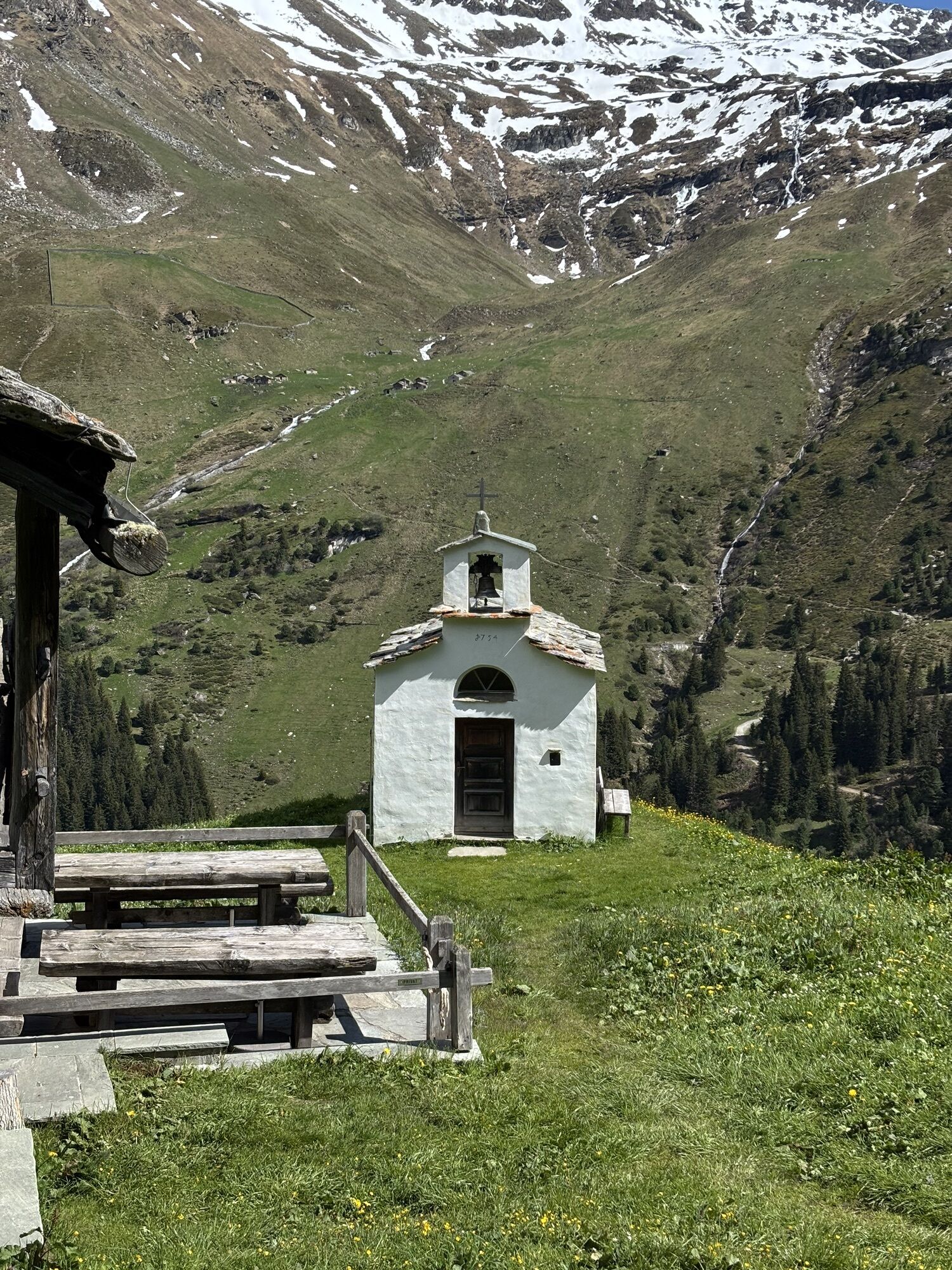
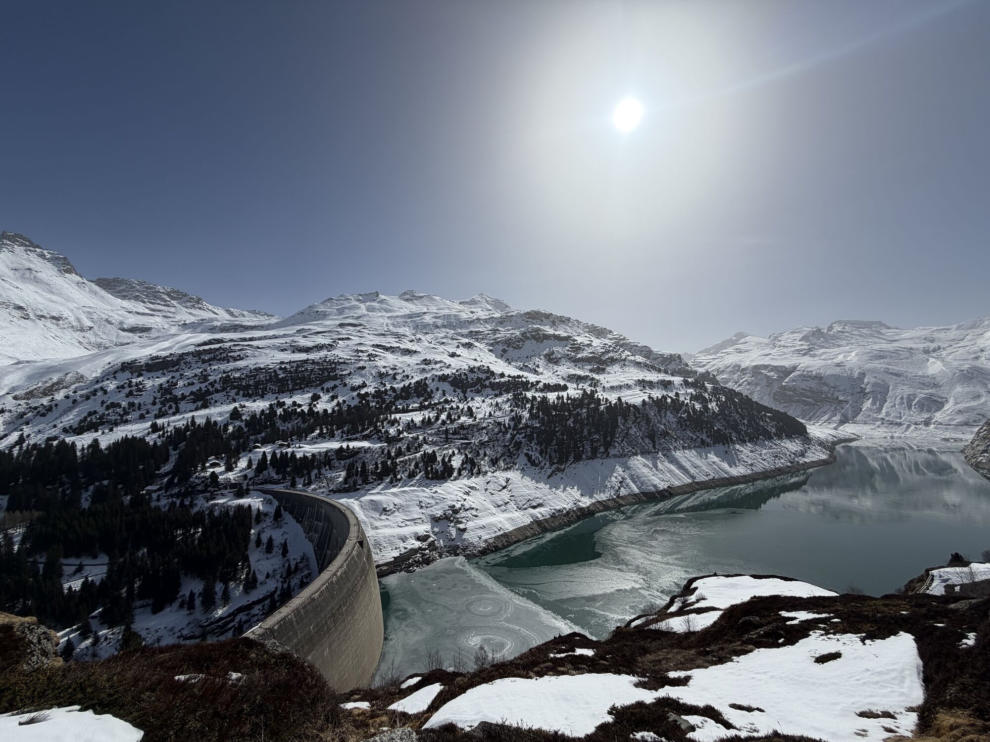
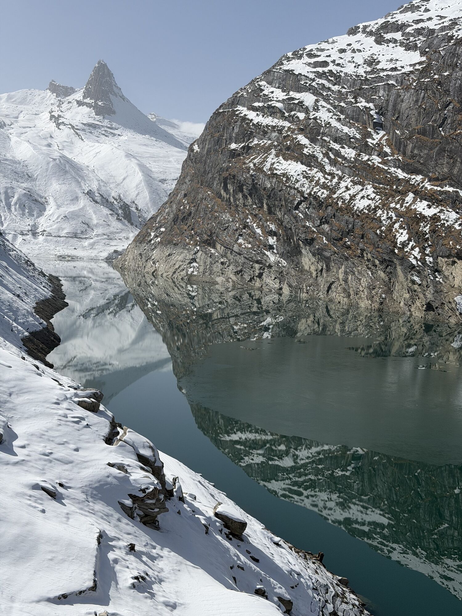
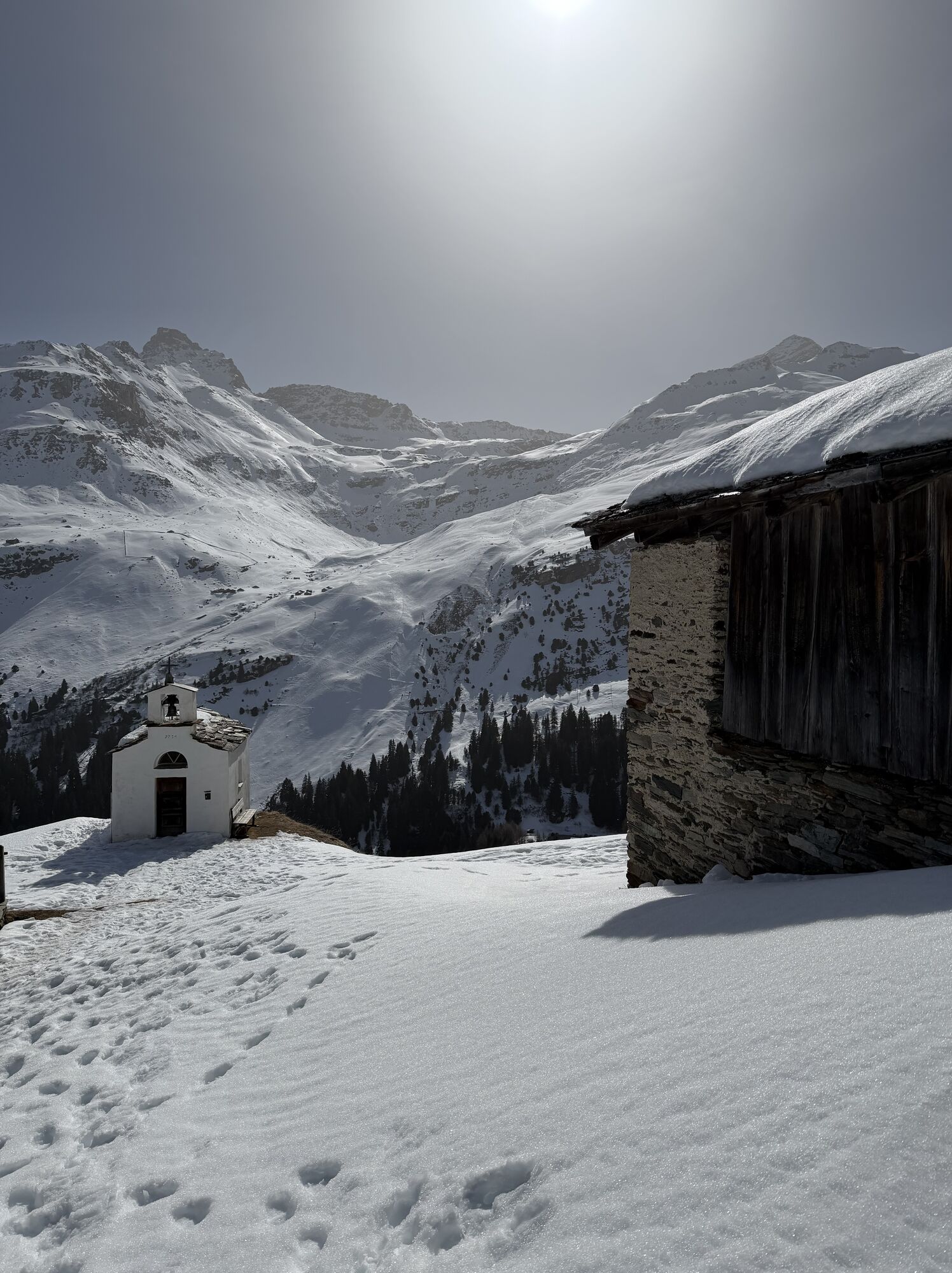
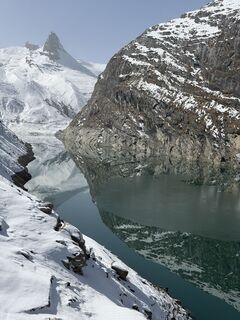
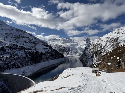
On the route from Gadastatt to Zerfreila, you enjoy the impressive panorama on the opposite side of the valley. You walk through a snow-covered moorland and over an alpine area "dressed" in white. Above you is the Dachberg, where skiers and freeriders find optimal conditions. In Frunt (1990 m above sea level) is, foremost on a rock wall, the St. Anna Chapel built in 1754. From here you have a view over the Zerfreila reservoir. At the back above the lake towers the 2821-meter-high Zerfreilahorn ("Bündner Matterhorn").
Return: In winter, under suitable conditions, by sled. The approximately 7 km long route to Vals sledding is an unforgettable experience. The sleds can be rented at the Zervreila restaurant. (Please check whether the Zervreila restaurant is open. Tel. 081 935 11 66)
Alternative: With the Zervreila shuttle to Vals. Runs 3 times daily from Wednesday to Friday.

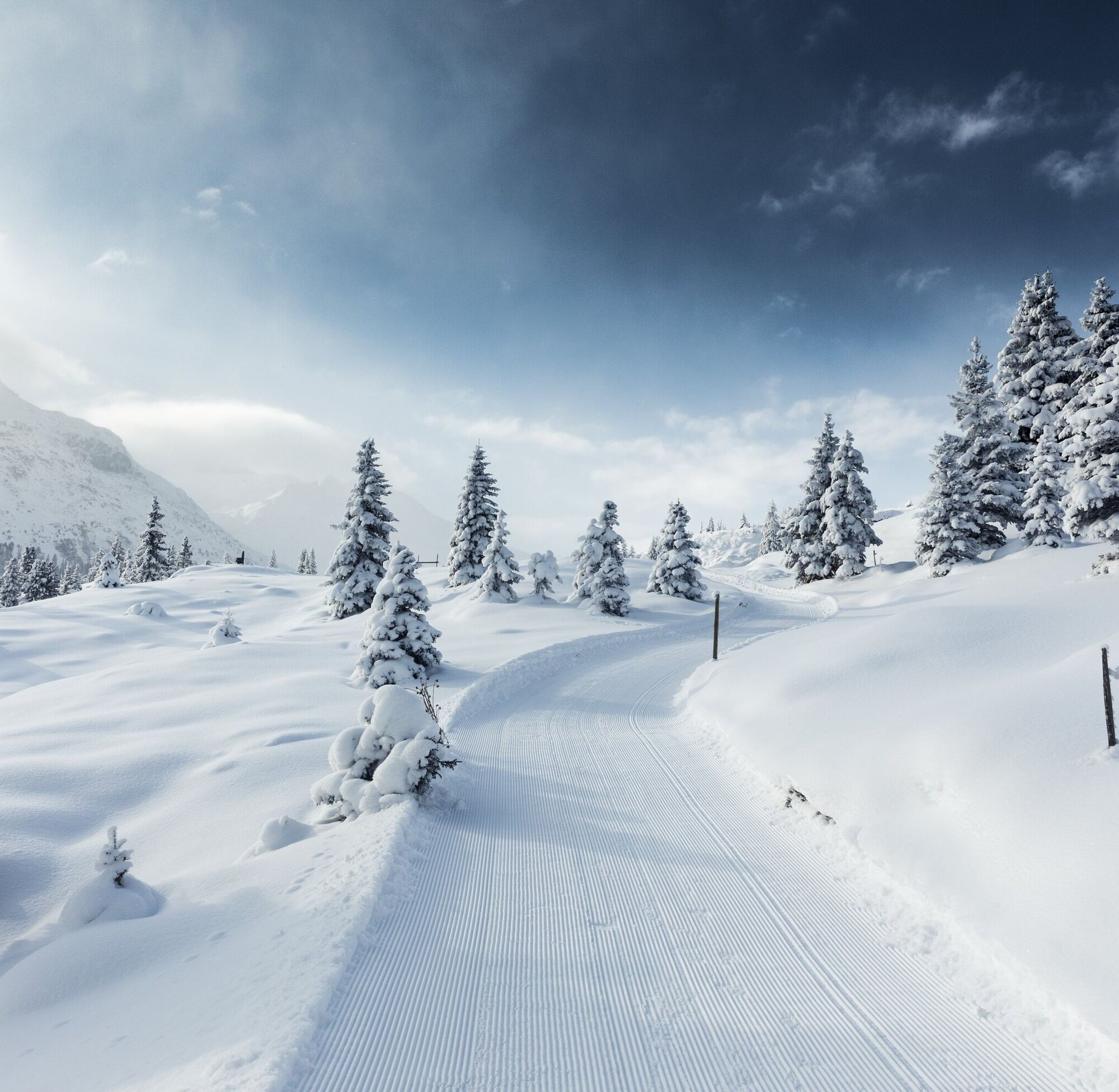
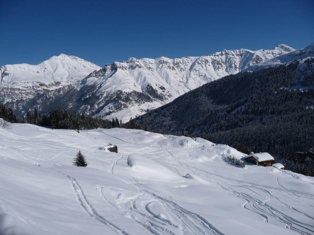
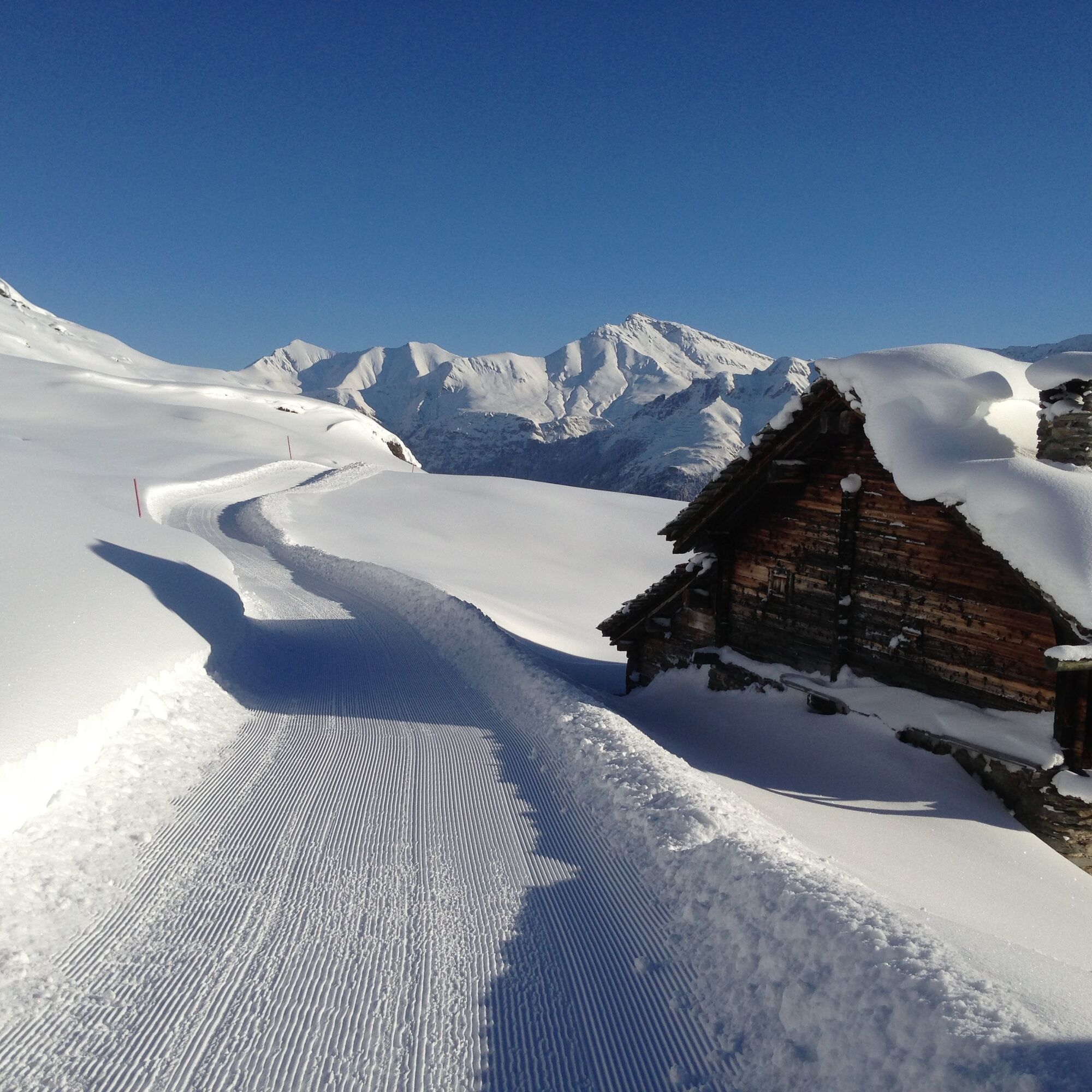
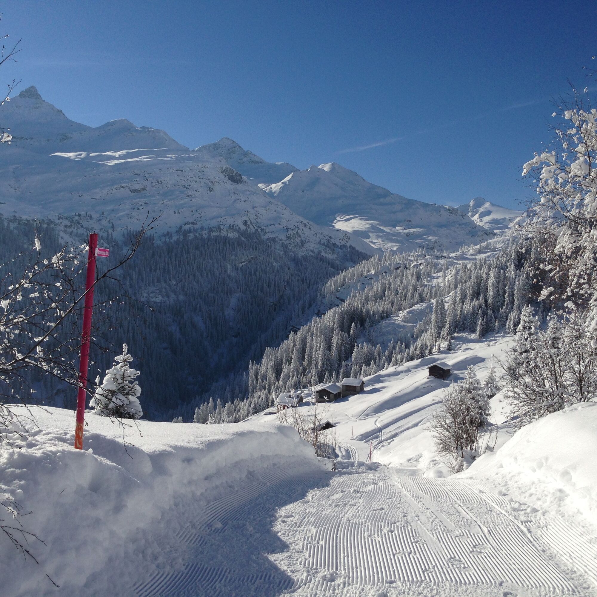
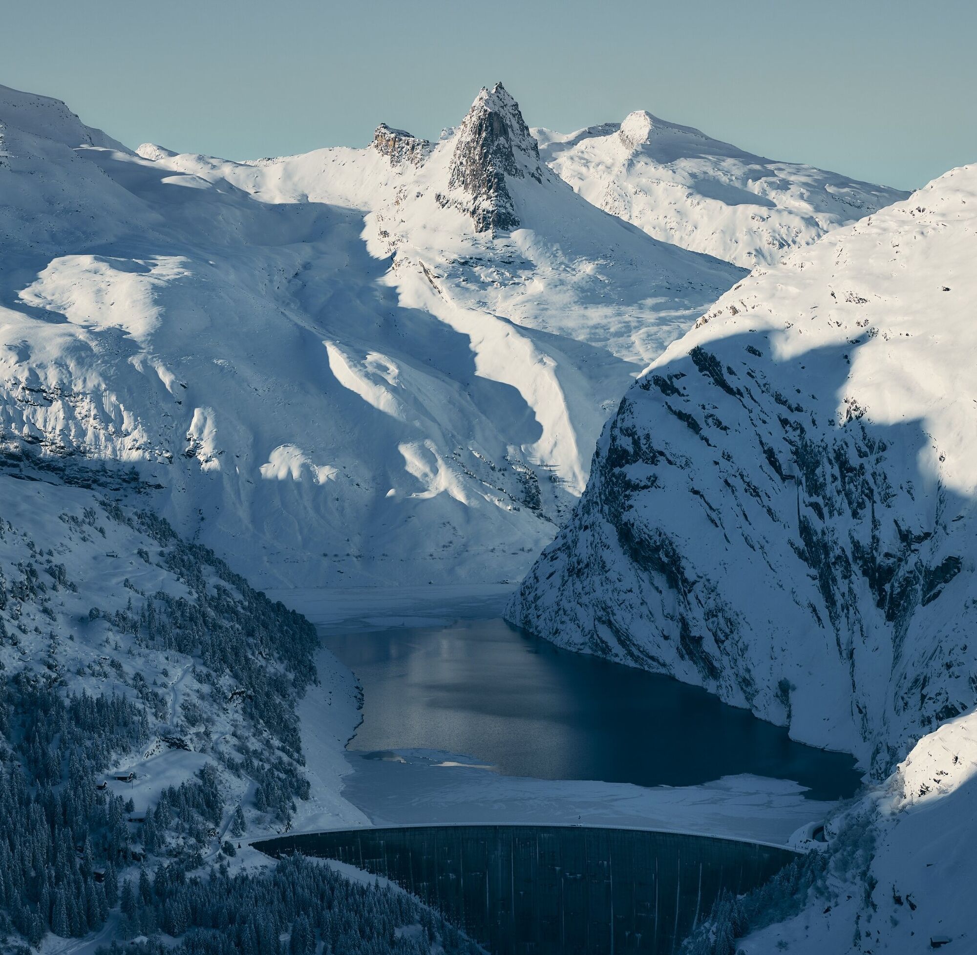
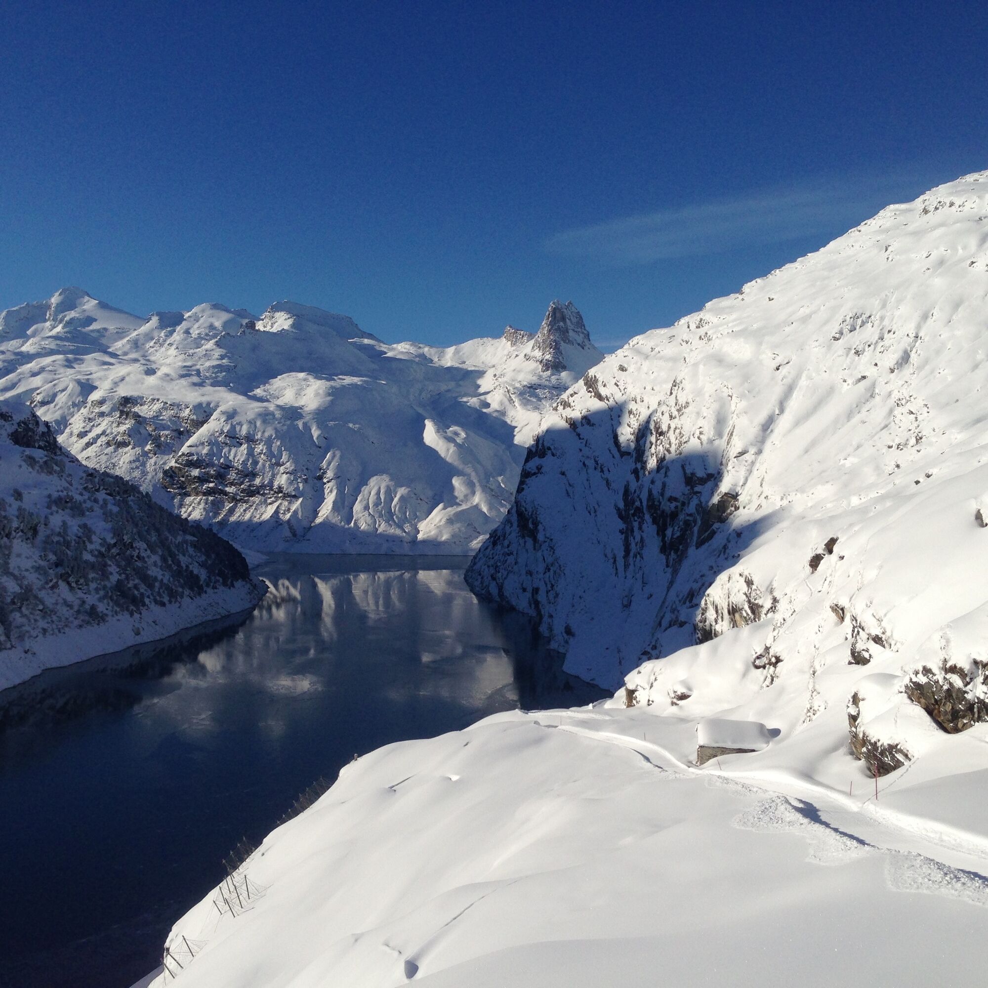

The path from Gadastatt to Zerfreila leads through the protected moorland at the Kristallloch. Along the way, you will find beautifully situated benches and walk past snow-covered mountain streams. After gentle ascents and descents to Frunt, a short, steep descent follows to the Zervreila dam. You cross the dam and follow the road to the parking lot of the Zervreila restaurant.
Da
Da
Solid, warm clothing. Winter hiking boots, sun protection. Possibly poles or shoe spikes.
Always pay attention to avalanche and snow conditions. Surefootedness required.
In winter: If the gondola Vals - Gadastatt is in operation and the winter hiking trail Gadastatt - Frunt - Zervreila is open.
Via Chur-Ilanz to Vals
To Vals (Valé stop) by PostBus from Ilanz.
To get to the starting point of the hike, you have the option of taking the gondola of the Sportbahnen Vals AG to Gadastatt. Duration of the ride approx. 6 min
Parking lot of the Sportbahnen Vals AG
Gastronomy on the way:
At the starting point of the hike, you can enjoy the beautiful view on the sun terrace of the Panoramarestaurant Gadastatt and strengthen yourself for the upcoming hike.
After arriving in Zerfreila, you can recharge at the Zervreila restaurant with a refreshing drink and a piece of blueberry cake (specialty). (Please check whether the Zervreila restaurant is open. Tel. 081 935 11 66)
 Pridobite vpogled
Vedno v živo na mestu z več kot 9.500 spletnimi kamerami. bergfex Kot uporabnik Pro si lahko zdaj ogledate ustrezne spletne kamere za številne izlete v aplikaciji izleti iz. Tako si lahko neposredno ogledate trenutne razmere.
Pridobite vpogled
Vedno v živo na mestu z več kot 9.500 spletnimi kamerami. bergfex Kot uporabnik Pro si lahko zdaj ogledate ustrezne spletne kamere za številne izlete v aplikaciji izleti iz. Tako si lahko neposredno ogledate trenutne razmere.

Priljubljeni izleti v okolici
-
5.0
Panorama route
svetlobaPohodništvo 5.39 km -
5.0
Hiking route Suspension Bridge Val da Tersnaus
srednjaPohodništvo 3.24 km -
Giro della Greina
Pohodništvo 50.6 km -
3.3
3-lake hike
srednjaPohodništvo 12.8 km -
5.0
2-day hike Greina high plateau
težkoPohodništvo 15.5 km -
5.0
Southeast Switzerland Hiking Day Vals 2017
svetlobaPohodništvo 11.8 km -
4.0
Fanellhorn 3124 m
težkoVisokogorska tura 6.86 km -
5.0
Hike Vrin - Uors over the suspension bridge Val da Silgin
srednjaPohodništvo 12.3 km -
Piz Terri, 3.149 m
srednjaVisokogorska tura 6.92 km -
3.5
Places of Magic - Lumbrein
srednjaPohodništvo 8.74 km
Pohodništvo in sledenje


Ne zamudite ponudb in navdiha za naslednje počitnice
Vaš e-poštni naslov je bil dodan na poštni seznam.





