


Um Su round route, Lumbrein
Stopnja težavnosti: T3
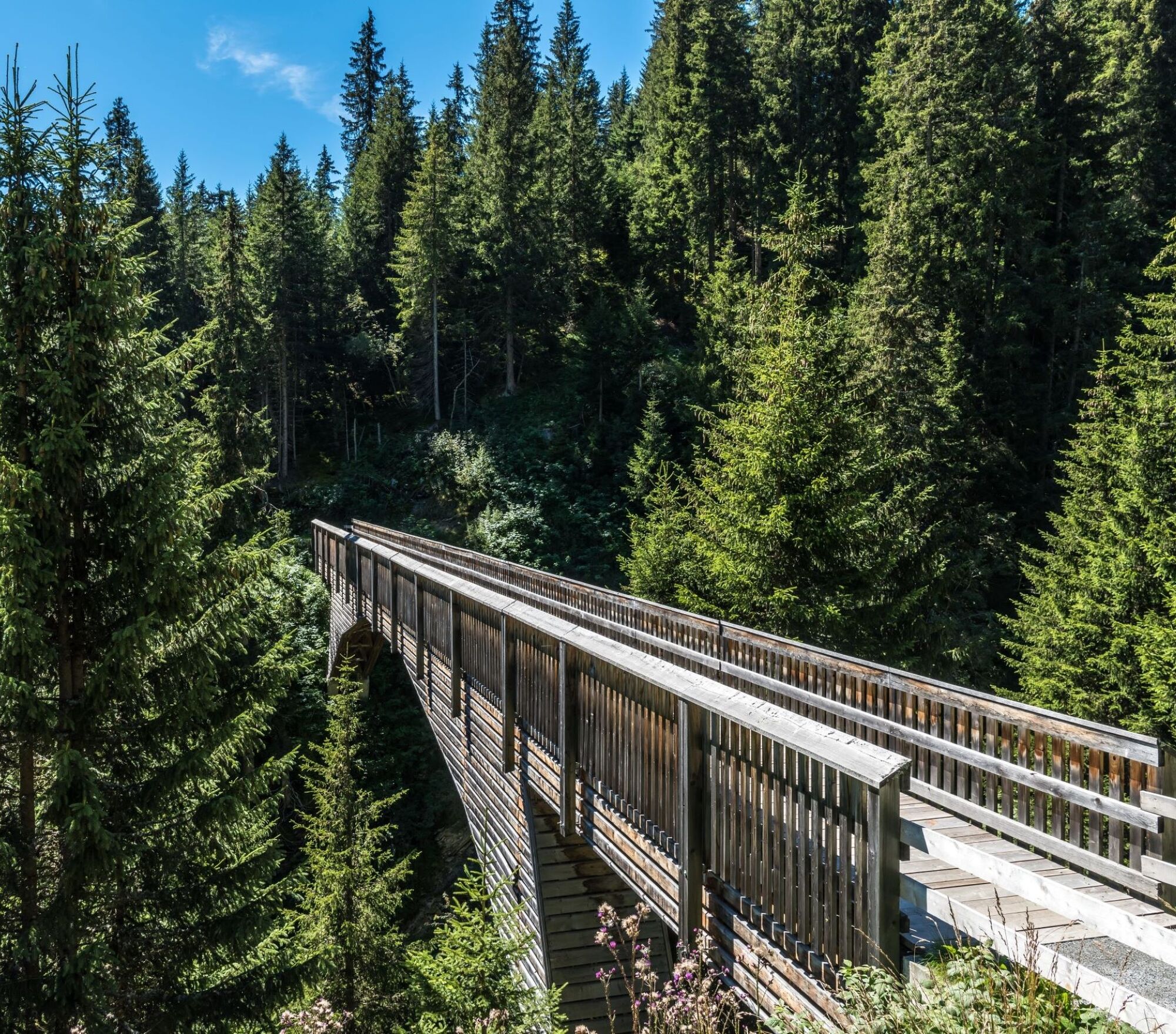
The hike starts at the upper edge of the village of Lumbrein heading towards Val da Mulin. Shortly after the impressive wooden bridge over Val da Mulin, the hiking trail winds over mountain meadows and...
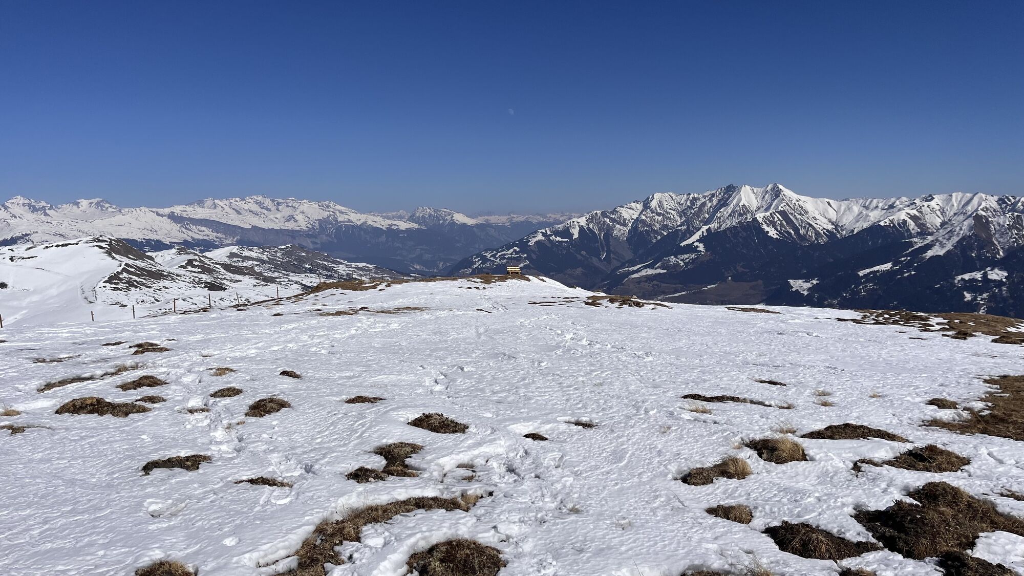
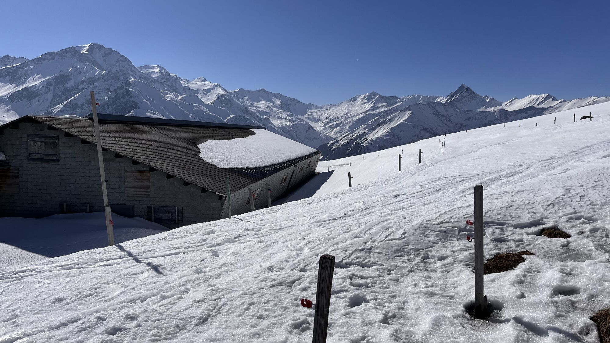
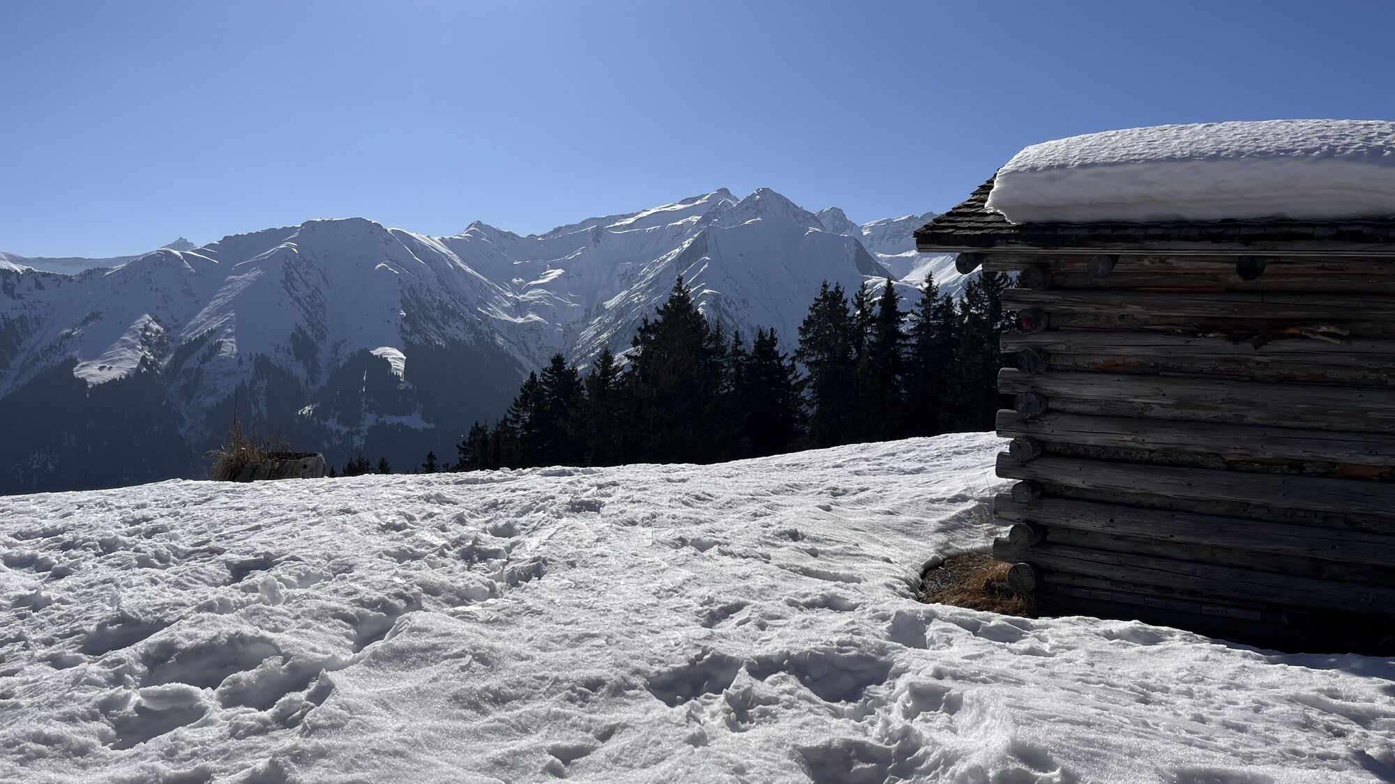
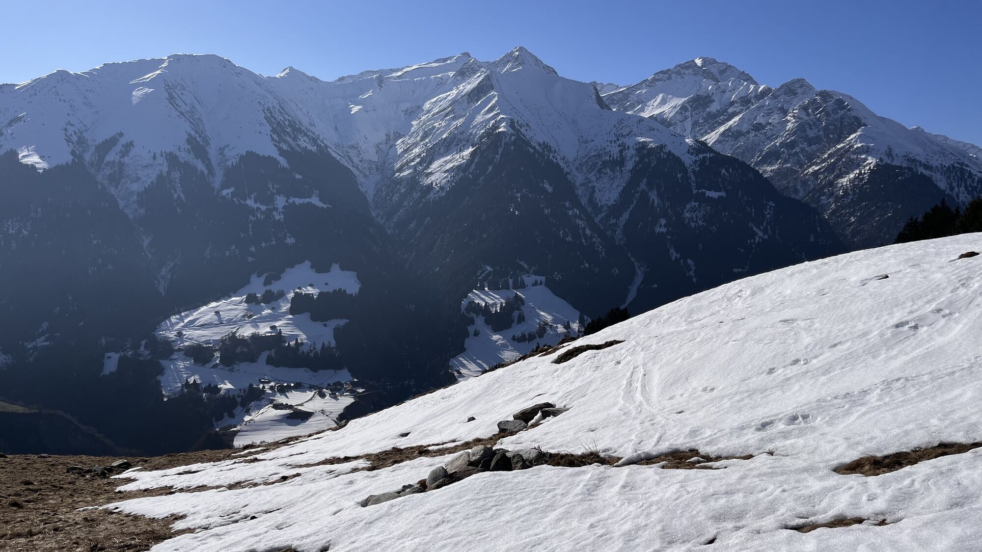
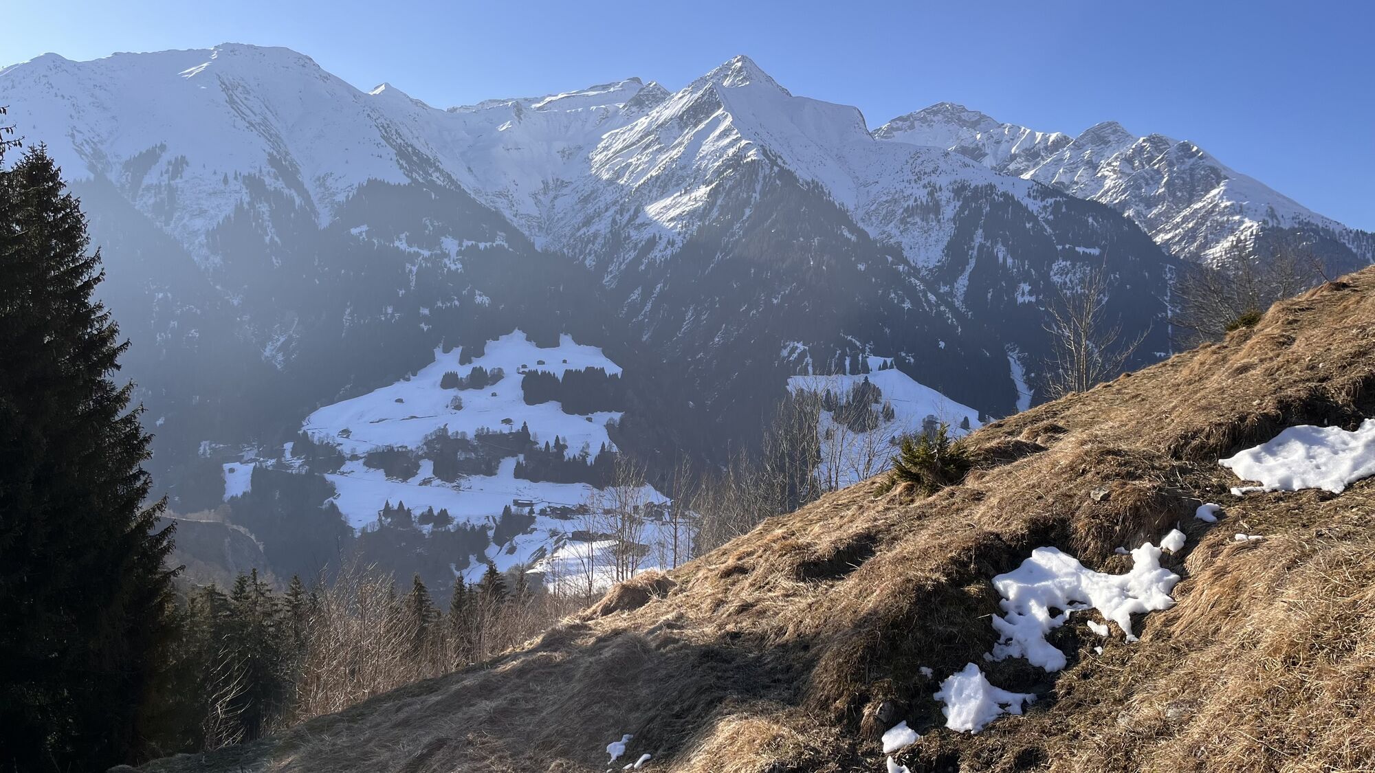
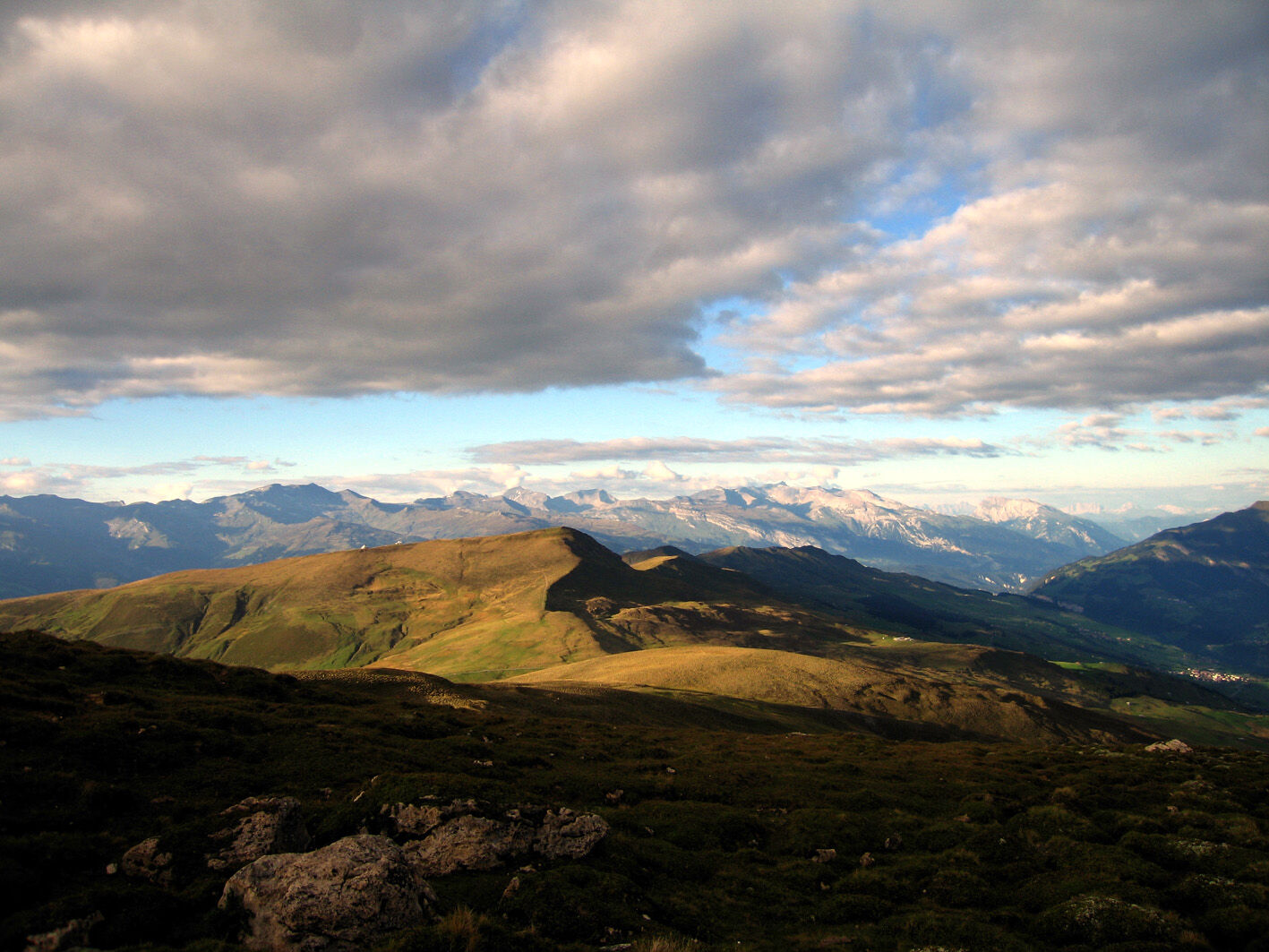
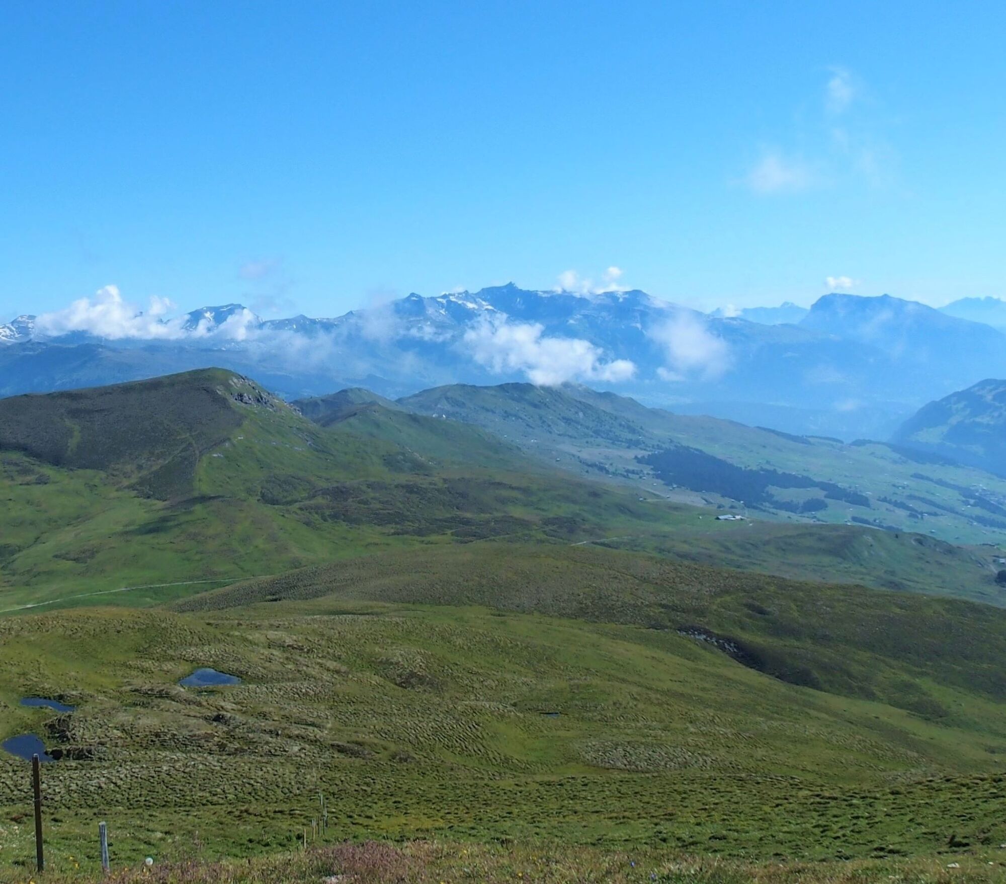
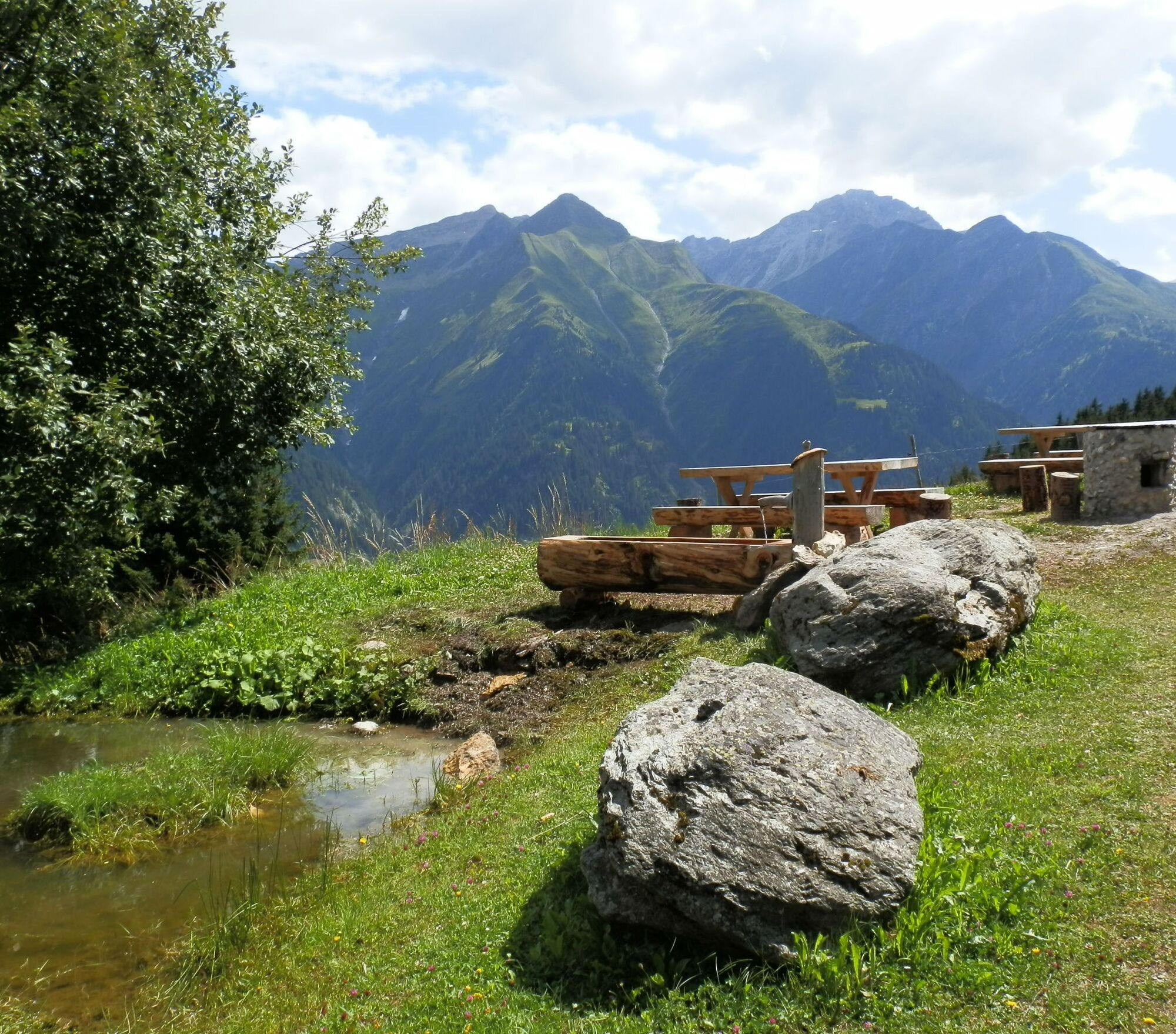
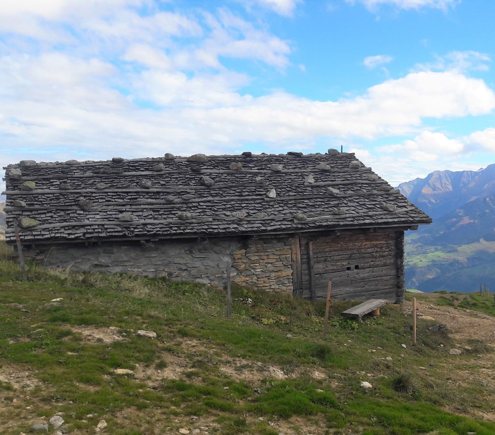
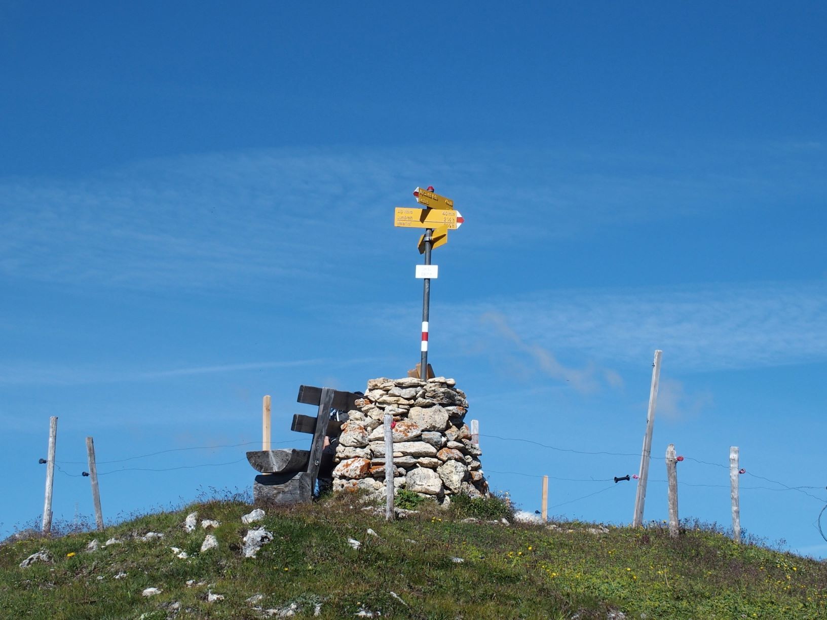
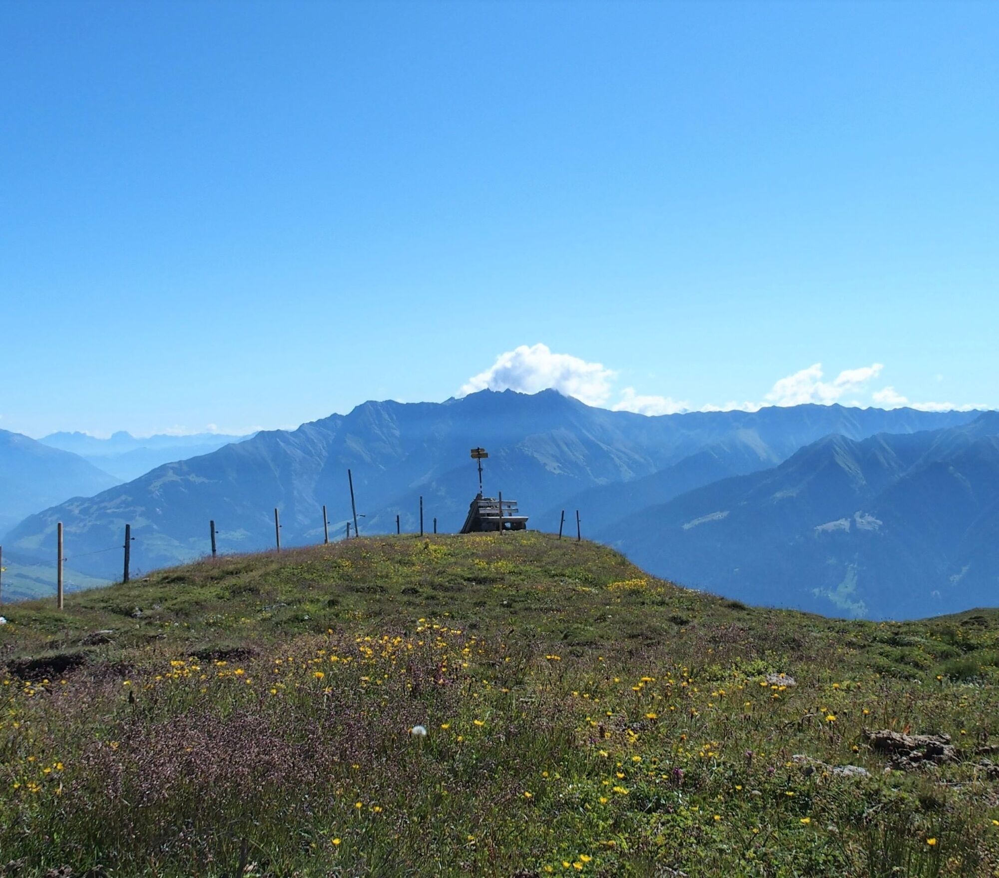
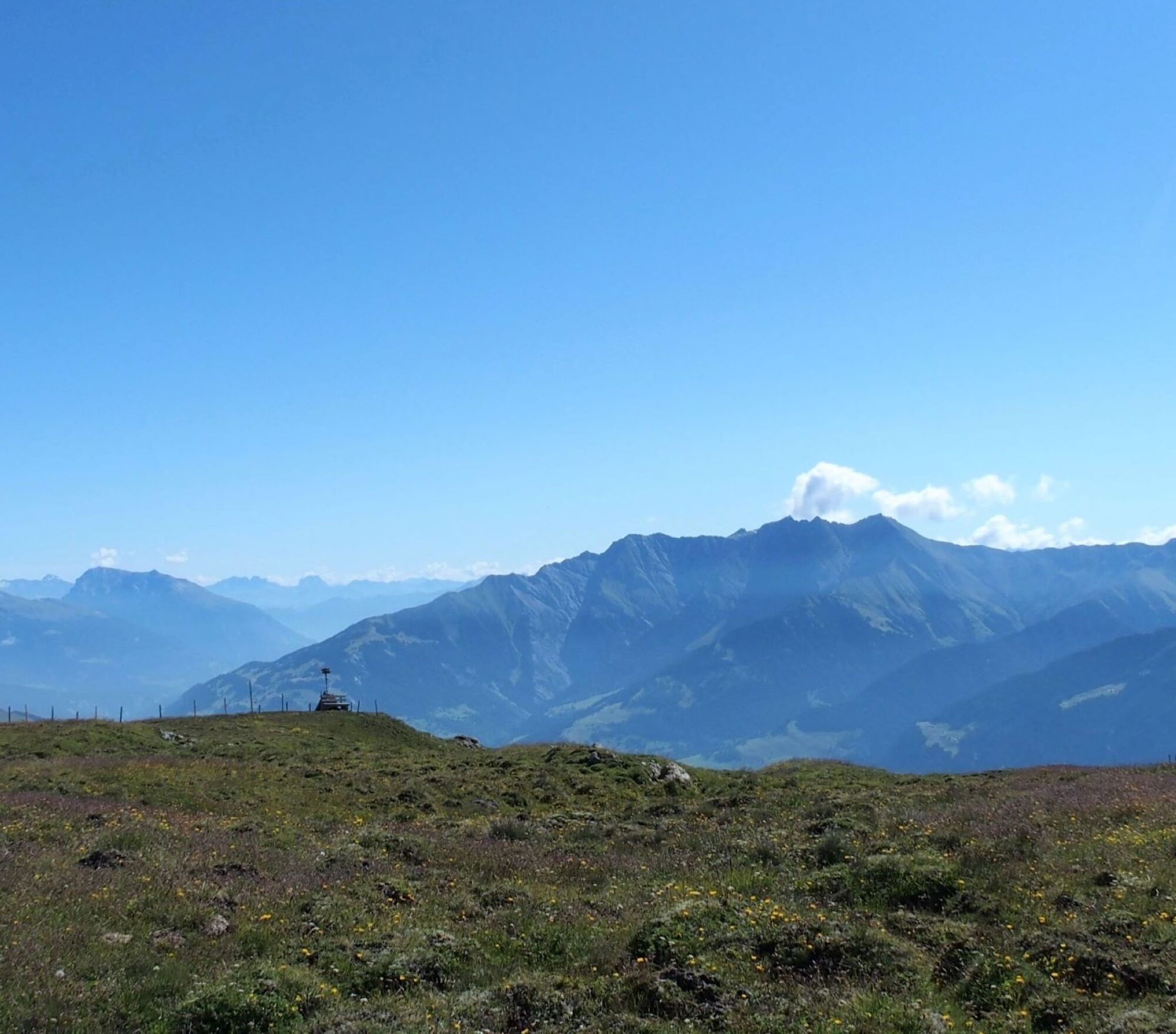
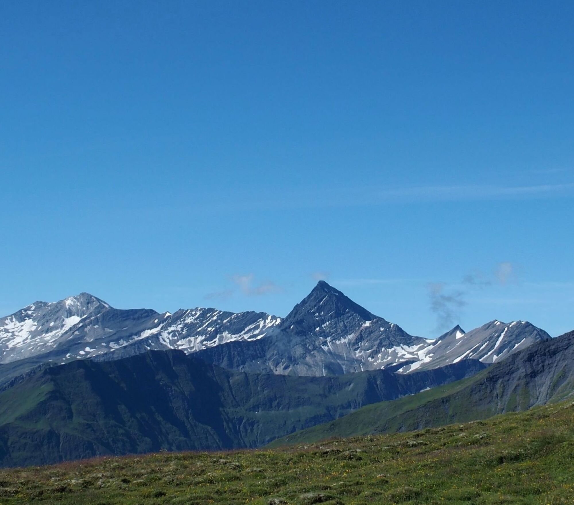
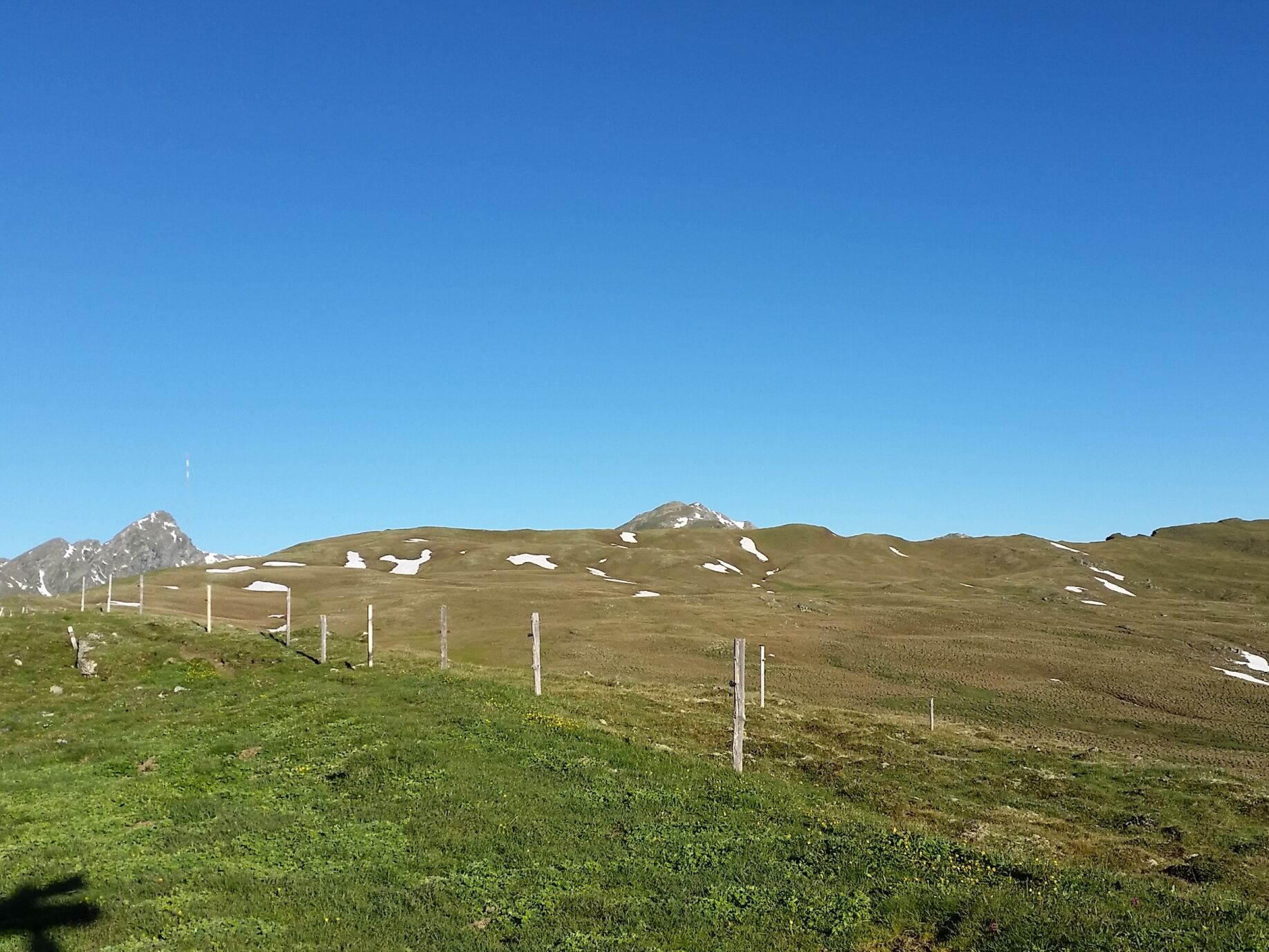
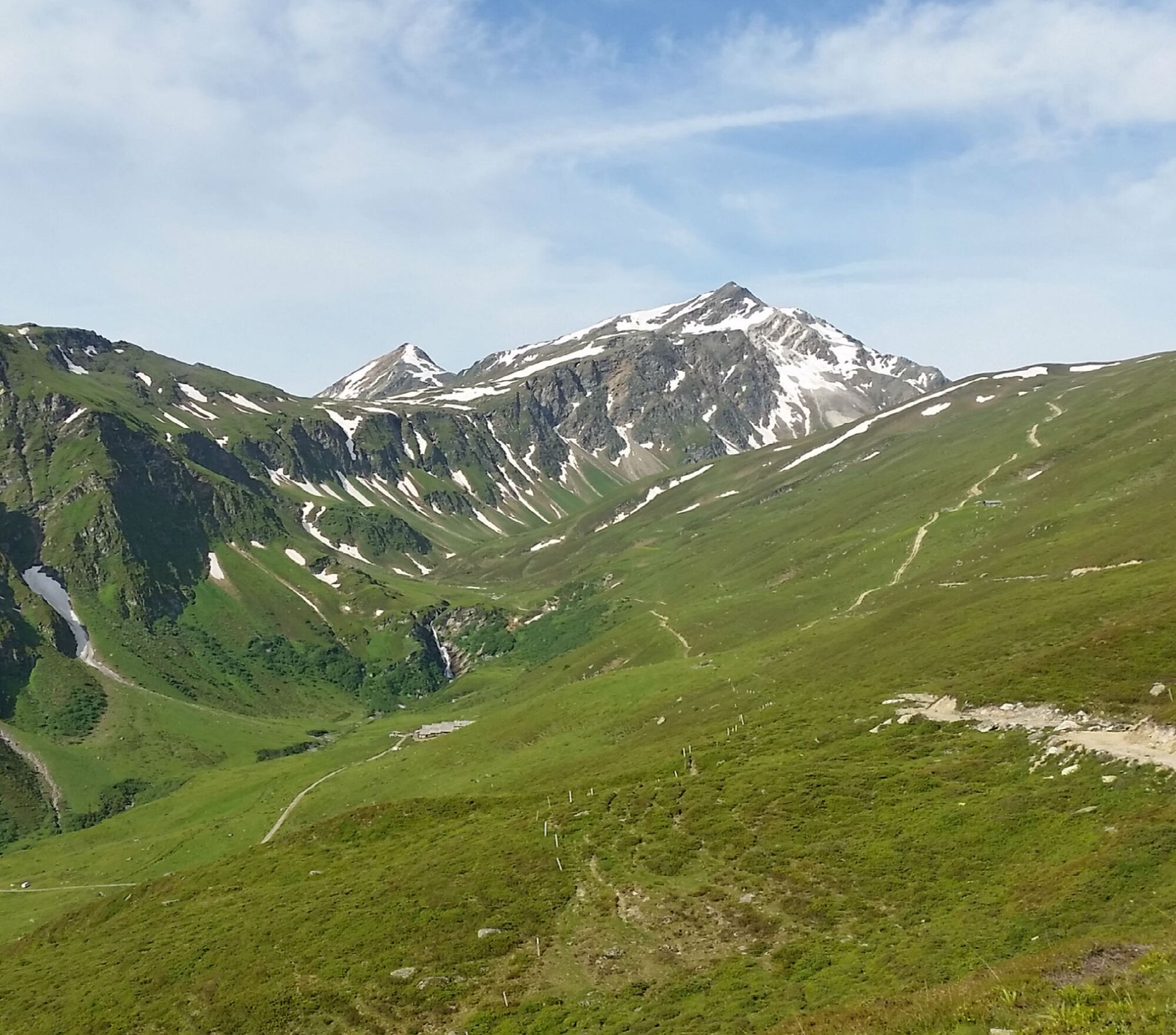
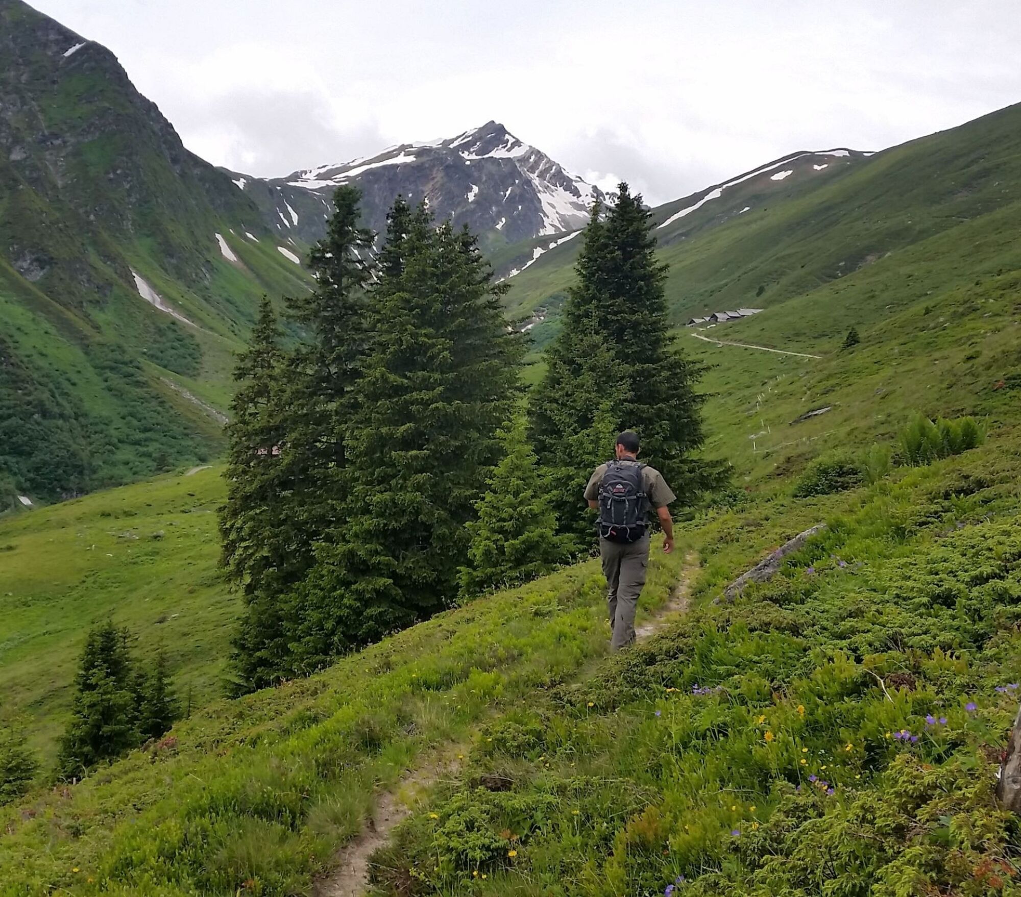
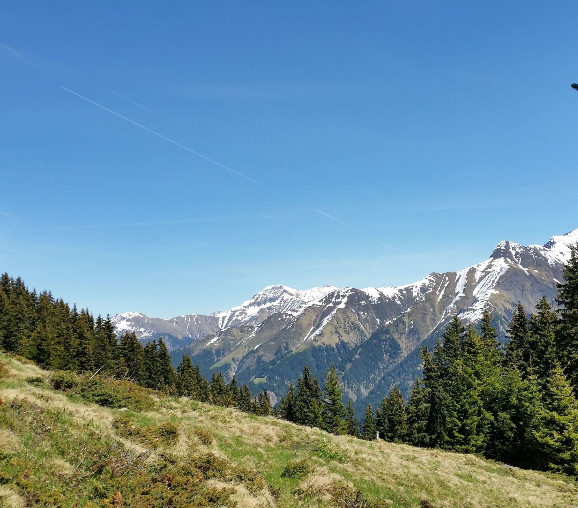
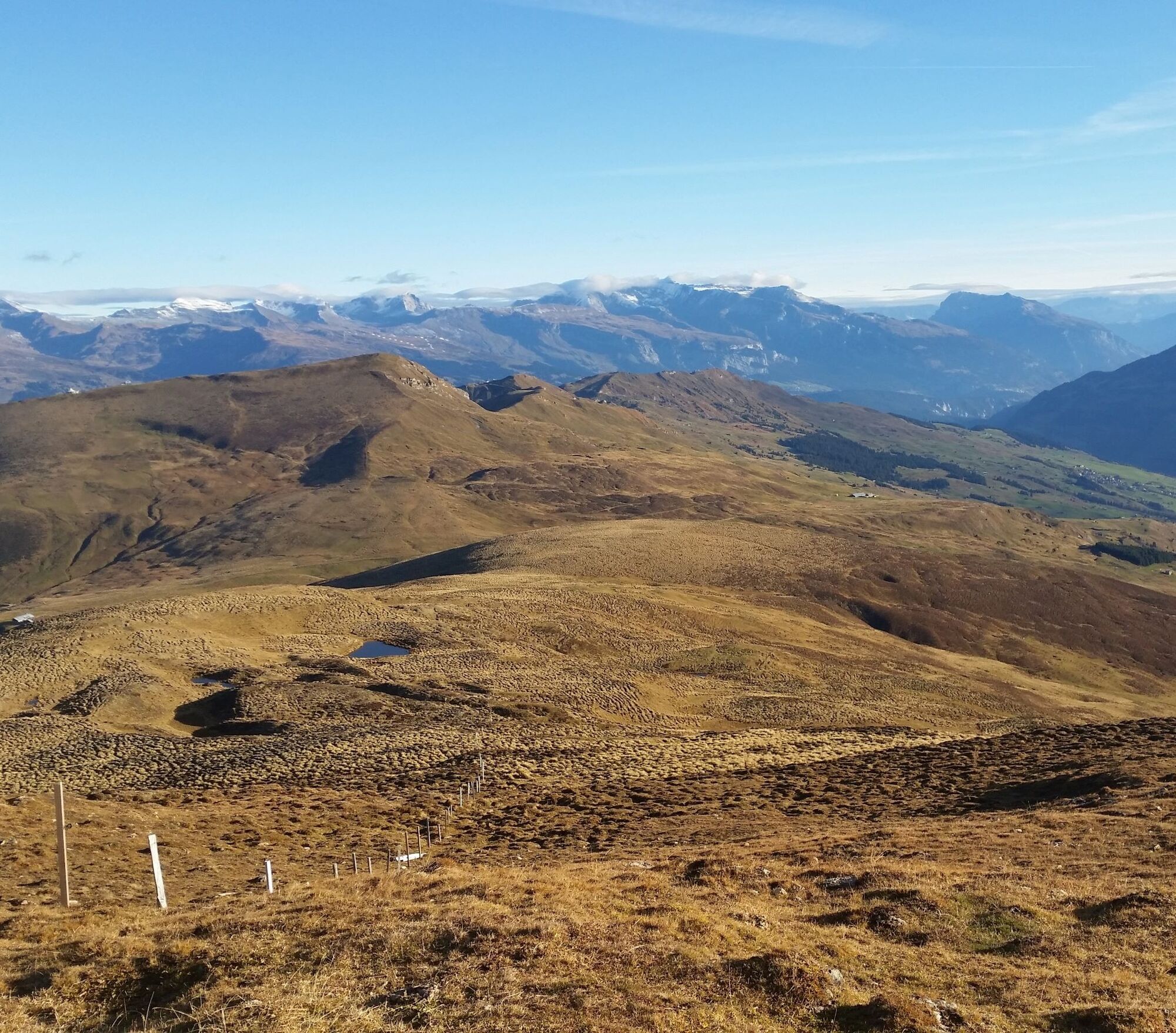
The hike starts at the upper edge of the village of Lumbrein heading towards Val da Mulin. Shortly after the impressive wooden bridge over Val da Mulin, the hiking trail winds over mountain meadows and Alp pastures to Alp Staviala Vedra and further up to Um Su. Once there, the magnificent panorama quickly makes you forget the strenuous ascent. After a short break, it continues up to the ridge. The path runs along the ridge for a short stretch before the descent towards Alp Cavel begins. Upon reaching the alp stables, the route becomes easier towards Summaplaunca and through the “Uaul da Fiugs” back to Lumbrein.
Tip: Take the hiking bus to Alp Sezner and from there hike over Alp Nova to Um Su. Time saved approx. 1 1/4 hours.
Information regarding the closure of hiking and biking trails due to wolf presence can be found here
See also
Surselva Tourism AG
Info Lumnezia
Palius 32 D
CH-7144 Vella
Tel.: 0041 81 931 18 58
E-mail: vallumnezia@surselva.info
Internet: www.surselva.info

Lumbrein - Val da Mulin - Staviala Vedra - Um Su - Scharls - Alp Cavel - Summaplaunca - Uaul da Fiugs - Lumbrein
Da
Good hiking shoes with good grip, weather-appropriate clothing (rain jacket), first aid kit, drink, food, possibly hiking poles.
In uncertain weather conditions, the route should not be started. Weather changes in the mountains are frequent. If a rain front or similar approaches during the hike, you should turn back in time.
Via Chur A3/A13 via Flims to Ilanz to the Val Lumnezia.
PostBus route 90.441 Ilanz - Vrin, stop Lumbrein
Public parking spaces on the school grounds in Lumbrein.
T3
Take the hiking bus to Alp Sezner and from there hike over Alp Nova to Um Su. Time saved approx. 1 1/4 hours.
Priljubljeni izleti v okolici
-
5.0
High valley Val Frisal
težkoPohodništvo 12.4 km -
5.0
Panorama route
svetlobaPohodništvo 5.39 km -
Giro della Greina
Pohodništvo 50.6 km -
5.0
Hiking route Suspension Bridge Val da Tersnaus
srednjaPohodništvo 3.24 km -
3.3
3-lake hike
srednjaPohodništvo 12.8 km -
Panoramic route between Piz Mundaun and Péz Sezner
srednjaPohodništvo 6.75 km -
5.0
Winter hike Gadastatt - Frunt - Zerfreila (Panorama trail)
svetlobaZimsko pohodništvo 5.36 km -
Piz Terri, 3.149 m
srednjaVisokogorska tura 6.92 km -
5.0
Southeast Switzerland Hiking Day Vals 2017
svetlobaPohodništvo 11.8 km -
Furggelti 2712m
težkoPohodništvo 18.7 km

Pohodništvo in sledenje


Ne zamudite ponudb in navdiha za naslednje počitnice
Vaš e-poštni naslov je bil dodan na poštni seznam.