







S-chanf - Alp Griatschouls
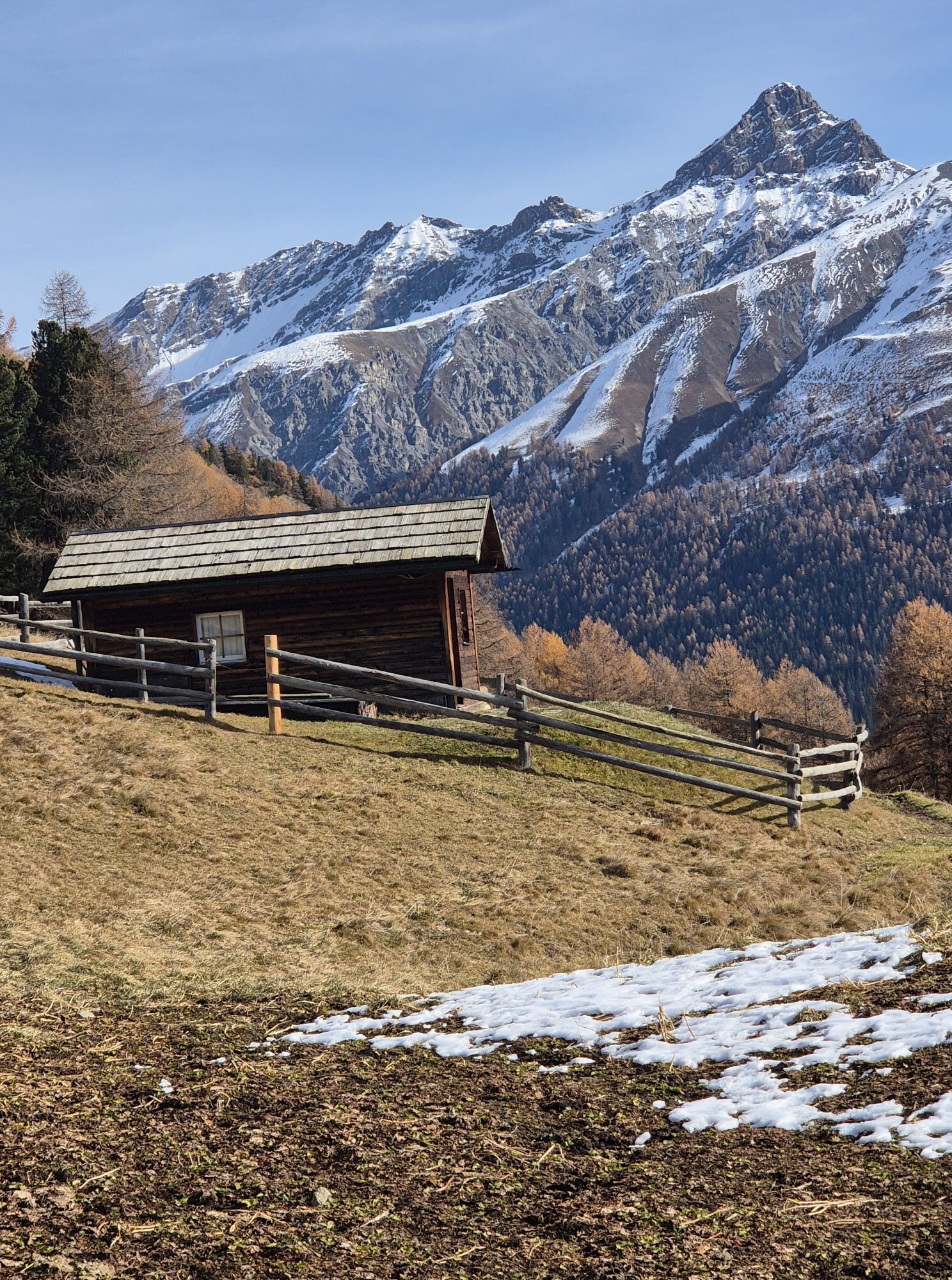
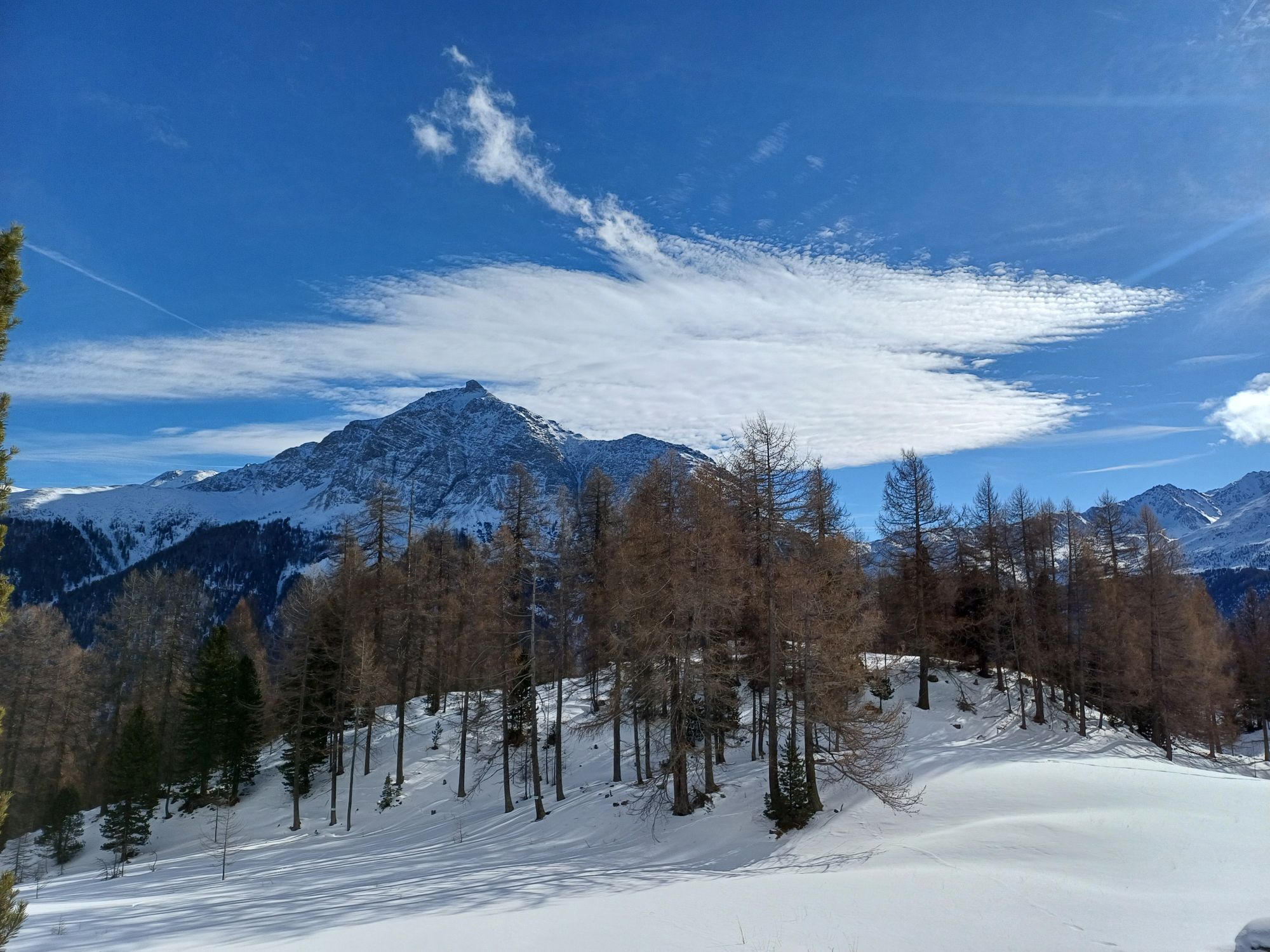
The starting point is the S-chanf train station. From there, the path leads through the houses of S-chanf, over the railway tracks and up to point 1690. Below the rocks of La Sassa, the path ascends along...
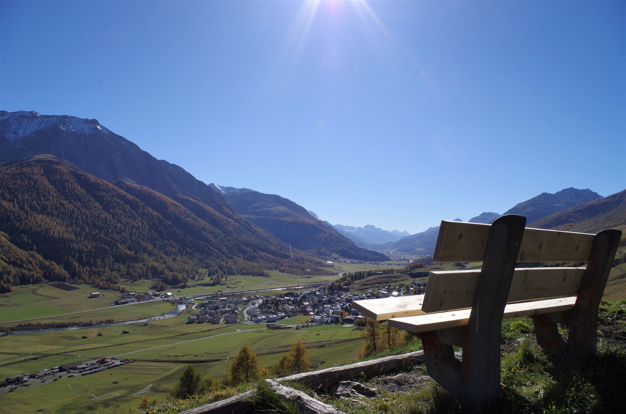
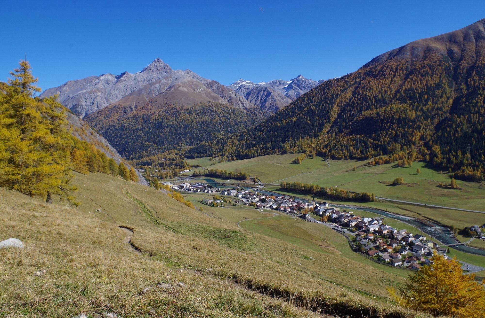
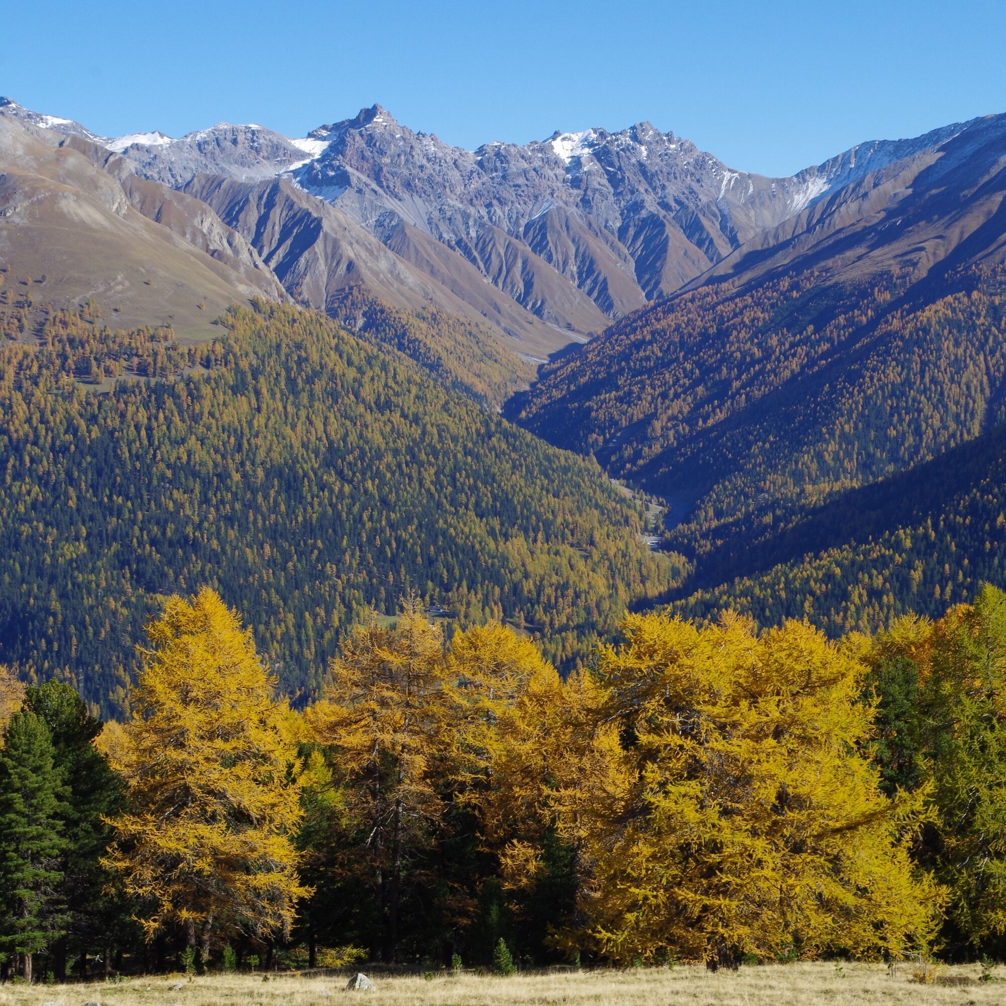
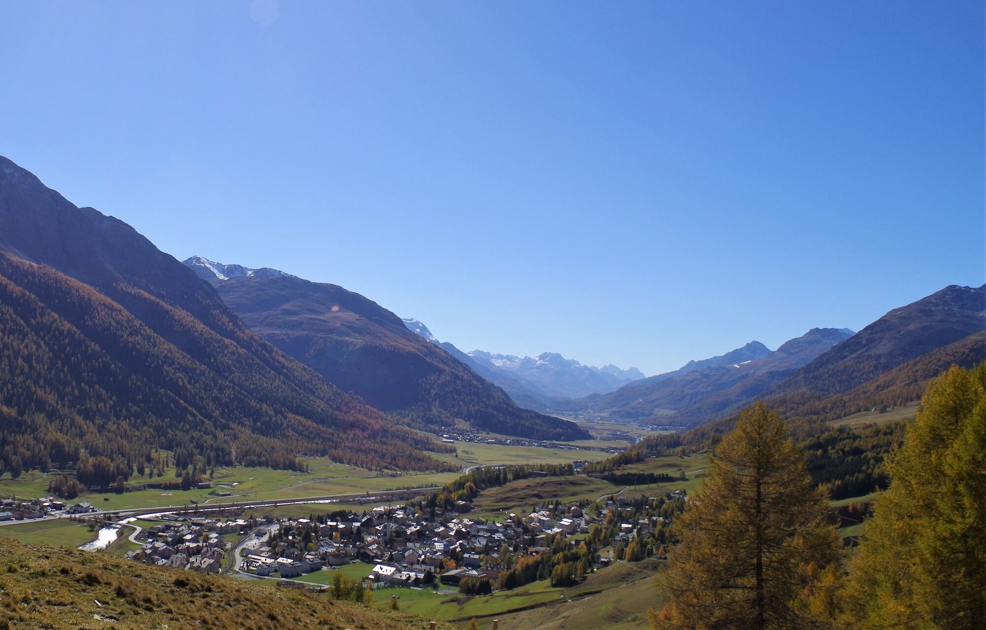
The starting point is the S-chanf train station. From there, the path leads through the houses of S-chanf, over the railway tracks and up to point 1690. Below the rocks of La Sassa, the path ascends along the slope to one of the most beautiful viewpoints in the Engadin. From there, the view extends to Piz da la Margna near Maloja and deep into the Val Trupchun and the National Park. The path then continues to rise past Alp Laret into the forest. The path then forks left up to Alp Griatschouls, which is just above the tree line. The descent passes gnarled Swiss stone pines and crowberry bushes until it joins the alp trail. Following this trail, you reach S-chanf and the starting point once again.
Further information
Engadin Tourism AG
Via Maistra 1
CH-7500 St. Moritz
Phone: +41 81 830 00 01
E-Mail: allegra@engadin.ch
Website: www.engadin.ch


S-chanf train station - Acla Laret - Alp Griatschouls - God God - S-chanf train station
 Pridobite vpogled Vedno v živo na mestu z več kot 9.500 spletnimi kamerami. bergfex Kot uporabnik Pro si lahko zdaj ogledate ustrezne spletne kamere za številne izlete v aplikaciji izleti iz. Tako si lahko neposredno ogledate trenutne razmere.
 Priljubljeni izleti v okolici
- 4.9
Circular hike Val Trupchun in the Swiss National Park
srednjaPohodništvo 13.8 km - 4.7
Panoramic route Muottas Muragl
svetlobaPohodništvo 6.75 km - 5.0
Muottas Muragl - Segantini hut - Pontresina
srednjaPohodništvo 6.46 km - 4.8
Alp Languard - Segantini Hut - Muottas Muragl
srednjaTrailrunning 6.45 km - 5.0
Lej Muragl
srednjaPohodništvo 7.39 km - 5.0
National Park: Chamanna Cluozza
srednjaPohodništvo 8.37 km - 5.0
Fluela Schwarzhorn 3147 m
svetlobaVisokogorska tura 7.34 km Flüelapass – Schwarzhorn (return)
srednjaPohodništvo 7.92 km- 5.0
National Park: Murtaröl
težkoPohodništvo 15.6 km - 4.5
Muottas Muragl - Fuorcla Muragl - Val Chamuera
srednjaPohodništvo 17.6 km

Pohodništvo in sledenje


Ne zamudite ponudb in navdiha za naslednje počitnice
Vaš e-poštni naslov je bil dodan na poštni seznam.





