






Brail – Alp Barlas-ch – Val Pülschezza – Zernez
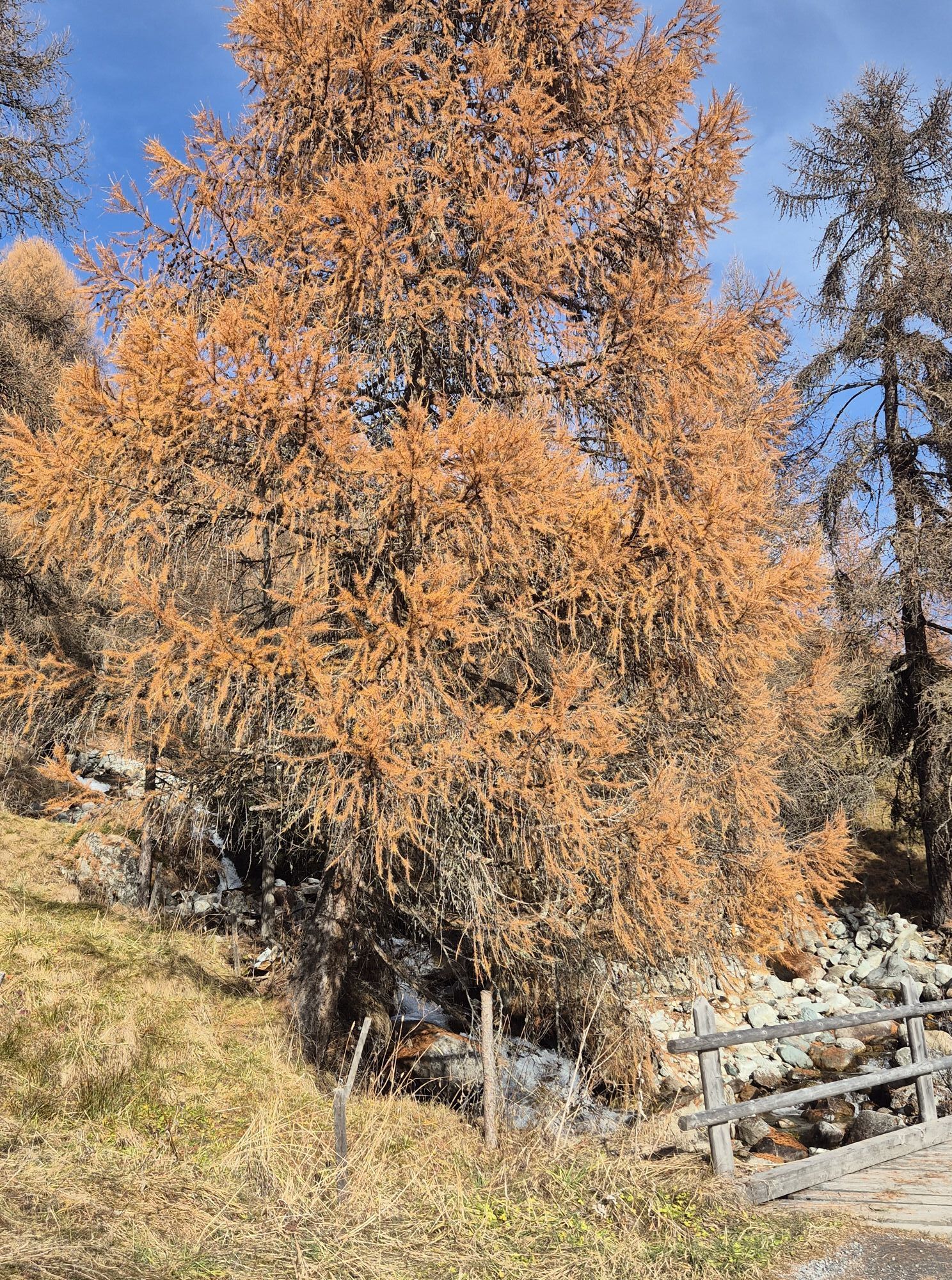
Right at the PostAuto stop in Brail, the path leads upwards. Following the Via Engiadina, you reach Alp Barlas-ch after about 3 km and 440 m in elevation gain. Then, maintaining altitude, the path leads...
Right at the PostAuto stop in Brail, the path leads upwards. Following the Via Engiadina, you reach Alp Barlas-ch after about 3 km and 440 m in elevation gain. Then, maintaining altitude, the path leads from valley to valley: first the Val Pülschezza, then the Val d'Urezza, Vallanzun, and finally the Val Schivò. Along the way, small mountain streams are crossed several times. It is worth taking a break occasionally to enjoy the view. Shortly before Alp Munt, after about 11.5 km, begins a somewhat steep descent through the forest to Zernez.

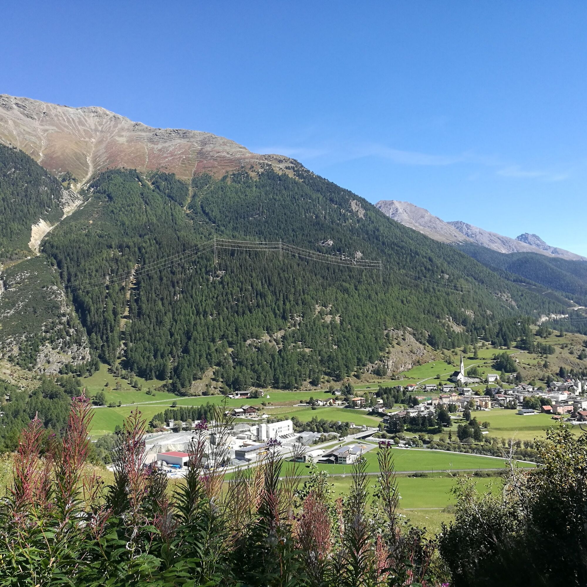


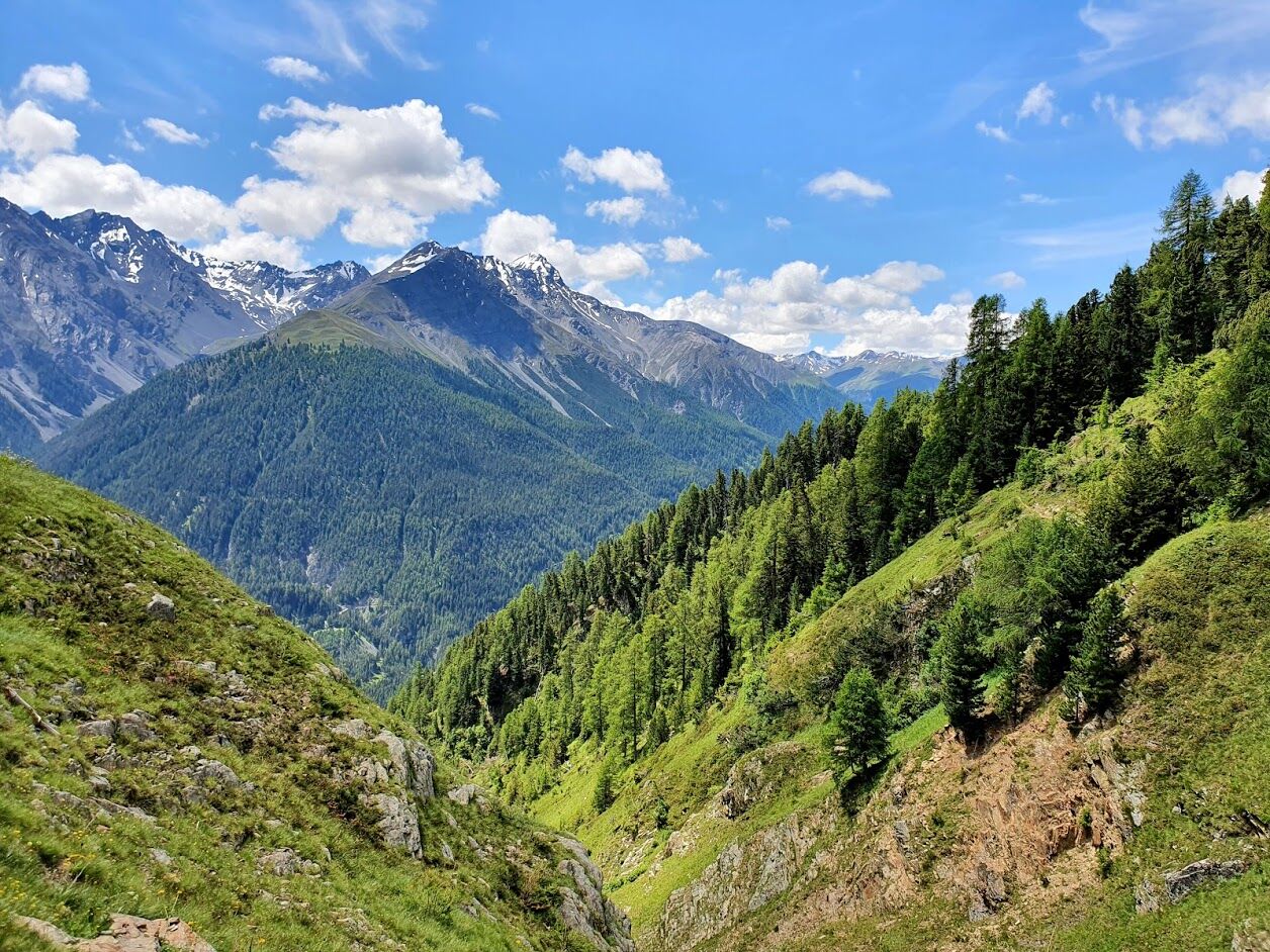
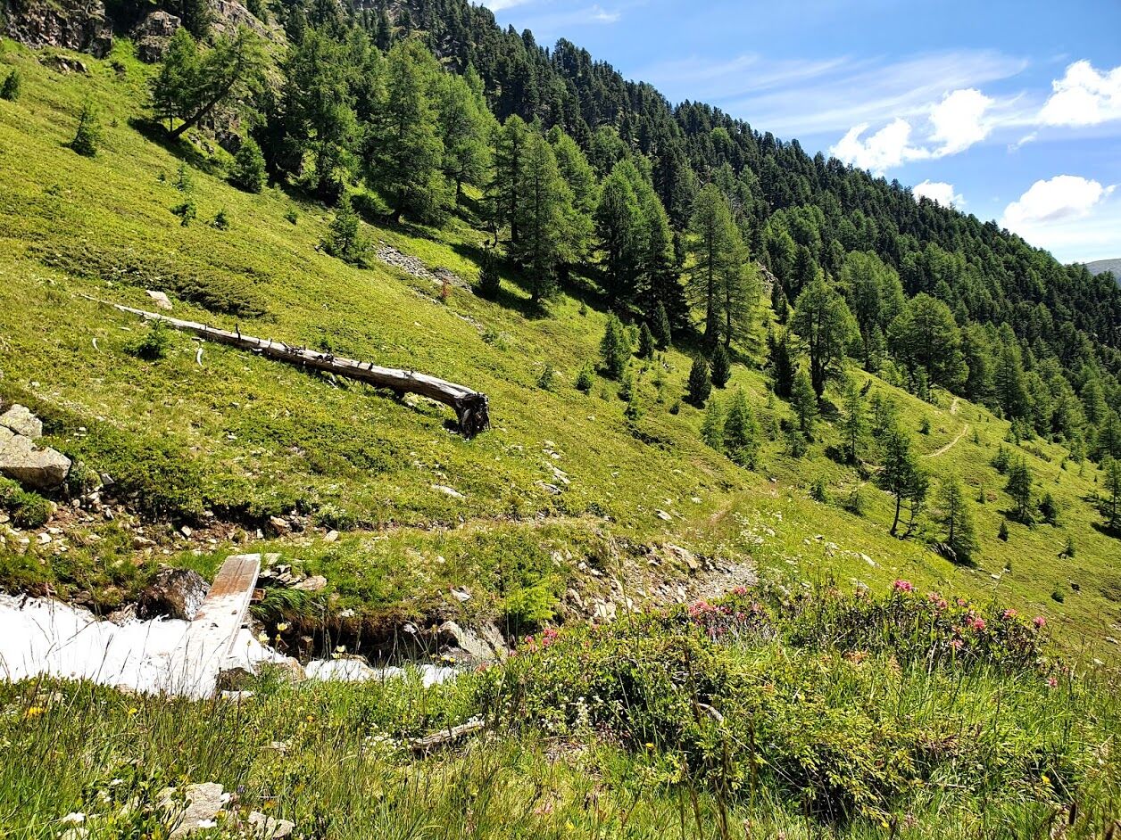

Brail, Alp Barlas-ch, Pradea, Alp da Munt, Zernez
The route was assessed under favorable weather conditions; current weather conditions and forecasts must be observed before starting the route.
Emergency numbers:
144 Emergency, First Aid
1414 Mountain Rescue REGA
112 International Emergency Number
From the north: via Landquart – Klosters by car shuttle through the Vereina Tunnel (Selfranga - Sagliains) or over the Flüela Pass into the Lower Engadin on H27
From the east: via Landeck / Austria towards St. Moritz on H27
From the south: via Reschen Pass (Nauders-Martina) or Ofen Pass (Val Müstair-Zernez) on H27
Hourly service by the Rhaetian Railway (from Chur, Landquart/Prättigau, from Oberengadin or Scuol) to Zernez
Zernez train station, municipality of Zernez (no parking fees)
Possibility to climb Piz Urezza (2807 m above sea level) through the Val Pülschezza (Note: not marked!)
At Pradea and Charbuneras, there is the option to run directly to Zernez. Beautiful zig-zag trail.
A visit to the National Park Center or the family swimming pool is recommended.
Also suitable as a circular route: on the valley path on the left bank of the Inn to Prazet (Brail), from there towards Alp Barlas-ch (+6 km)
Spletne kamere s turneje
Pridobite vpogled
Vedno v živo na mestu z več kot 9.500 spletnimi kamerami. bergfex Kot uporabnik Pro si lahko zdaj ogledate ustrezne spletne kamere za številne izlete v aplikaciji izleti iz. Tako si lahko neposredno ogledate trenutne razmere.
Priljubljeni izleti v okolici
-
4.9
Circular hike Val Trupchun in the Swiss National Park
srednjaPohodništvo 13.8 km -
4.8
Jöriseen
srednjaPohodništvo 11.3 km -
4.2
National Park: Margunet
svetlobaPohodništvo 7.76 km -
4.8
National park: Zernez – Munt Baselgia – Macun lakes – Alp Zeznina – Lavin
težkoPohodništvo 22.9 km -
4.8
National Park: Grimmels (circular hike)
svetlobaPohodništvo 6 km -
5.0
Fluela Schwarzhorn 3147 m
svetlobaVisokogorska tura 7.34 km -
Flüelapass – Schwarzhorn (return)
srednjaPohodništvo 7.92 km -
5.0
National Park: Chamanna Cluozza
srednjaPohodništvo 8.37 km -
5.0
National Park: Murtaröl
težkoPohodništvo 15.6 km -
5.0
National Park: Spöl Valley
svetlobaPohodništvo 7.67 km
Pohodništvo in sledenje


Ne zamudite ponudb in navdiha za naslednje počitnice
Vaš e-poštni naslov je bil dodan na poštni seznam.





