


Trailrun Tomül Pass


From the village square, the road first climbs steeply through the Gassa and after the Hotel Valserhof rises less steeply to Plansch. There follows a change to the attractive singletrail, which leads over...
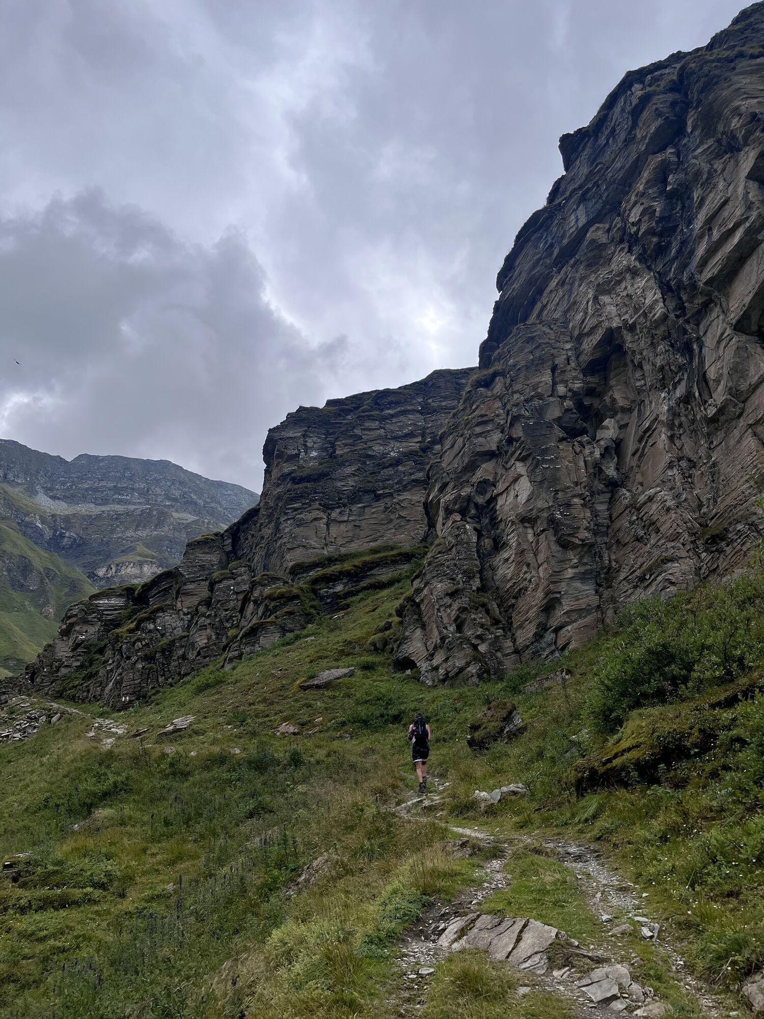
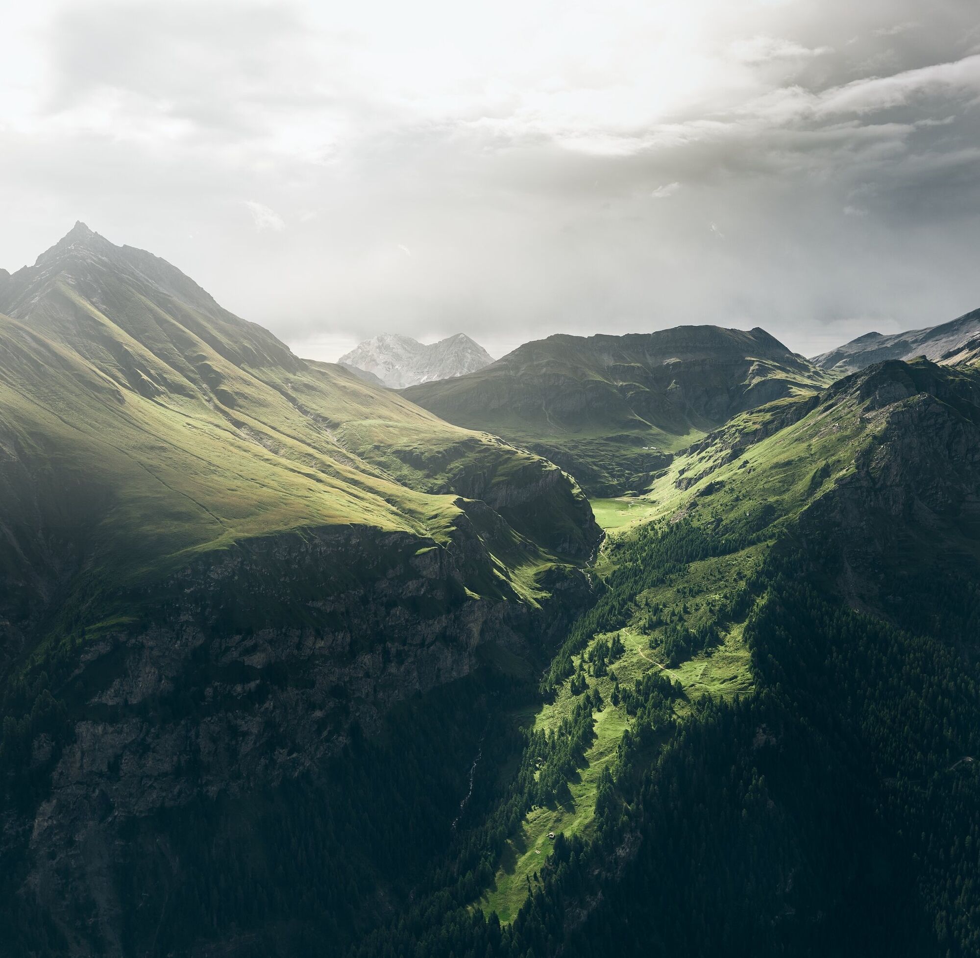
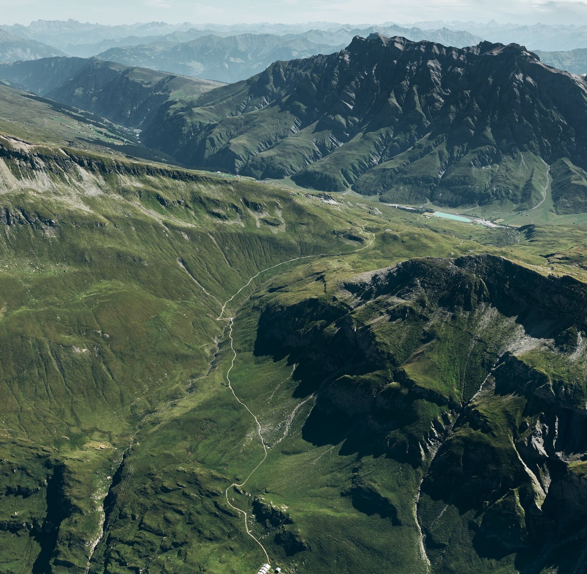
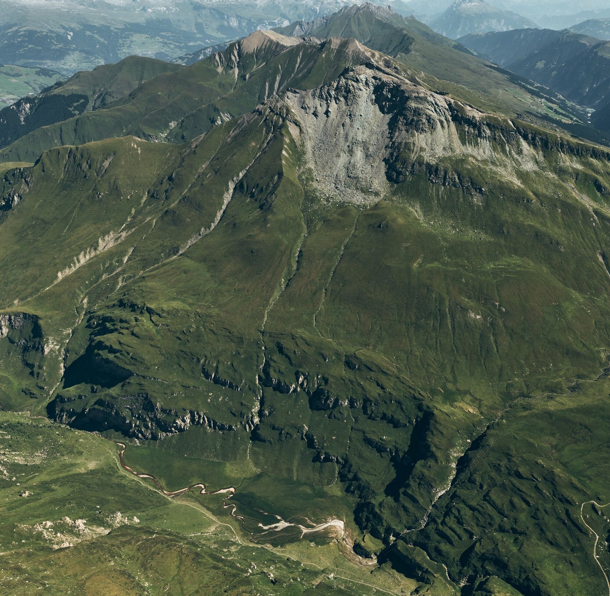
From the village square, the road first climbs steeply through the Gassa and after the Hotel Valserhof rises less steeply to Plansch. There follows a change to the attractive singletrail, which leads over idyllic cow and sheep pastures into the Riefawald. This is soon left again after reaching the scenic clearing Pradatsch, and the now wider path continues only slightly uphill towards the valley. Along the way, the impressive plain of the Riedboda with its meandering rivers and waterfalls is passed before a last steeper climb ends directly before the Stafel of Alp Tomül. Afterwards, the well-developed path leads steadily up to the Tomül Pass. Reaching the Safien valley, the Turrahus is reached over numerous hairpin bends on pleasant terrain, 800 meters lower in altitude.

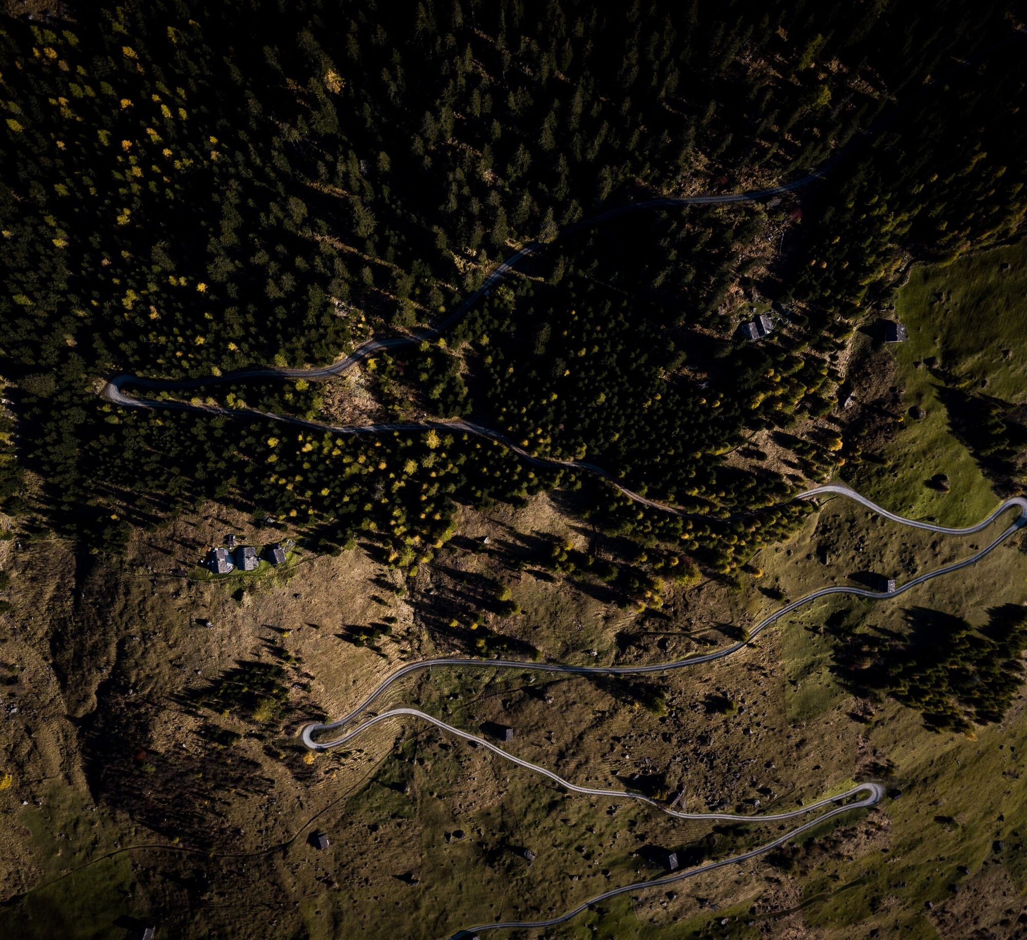
Village square 1252 m. - Plansch 1410 m. - Pradatsch 1953 m. - Tomülstafel 2181 m. - Tomül Pass 2412 m. - Turrahus-Thalkirch - Post bus stop 1695 m.
Ride with the post bus via Versam and Ilanz back to Vals.
Running backpack, drink, bar, mobile phone, wind jacket
Via Chur-Reichenau-Flims-Laax-Ilanz to Vals.
To Vals by post bus coming from Ilanz.
Parking lot "Bidem" (paid) near the village square.


Priljubljeni izleti v okolici
- 5.0
Hiking route Suspension Bridge Val da Tersnaus
srednjaPohodništvo 3.24 km - 5.0
Panorama route
svetlobaPohodništvo 5.39 km - 3.3
3-lake hike
srednjaPohodništvo 12.8 km - 5.0
Winter hike Gadastatt - Frunt - Zerfreila (Panorama trail)
svetlobaZimsko pohodništvo 5.36 km Panoramic route between Piz Mundaun and Péz Sezner
srednjaPohodništvo 6.75 km- 5.0
Southeast Switzerland Hiking Day Vals 2017
svetlobaPohodništvo 11.8 km - 5.0
Hike Vrin - Uors over the suspension bridge Val da Silgin
srednjaPohodništvo 12.3 km - 3.5
Places of Magic - Lumbrein
srednjaPohodništvo 8.74 km Furggelti 2712m
težkoPohodništvo 18.7 km- 4.0
Senda culturala Lumnezia / Kulturweg Lumnezia
svetlobaTematska pot 7.54 km

Pohodništvo in sledenje


Ne zamudite ponudb in navdiha za naslednje počitnice
Vaš e-poštni naslov je bil dodan na poštni seznam.