


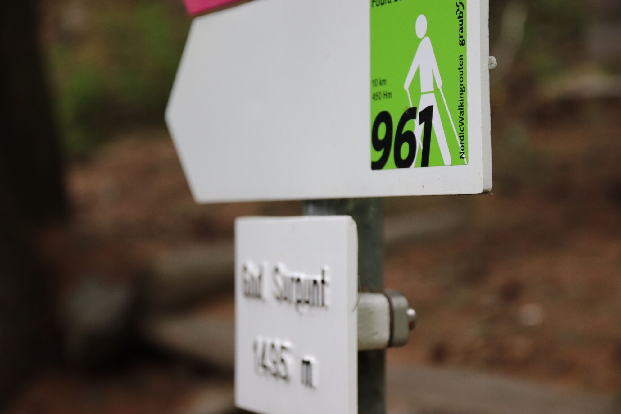
Foura Baldirun 961
Fotografije naših uporabnikov
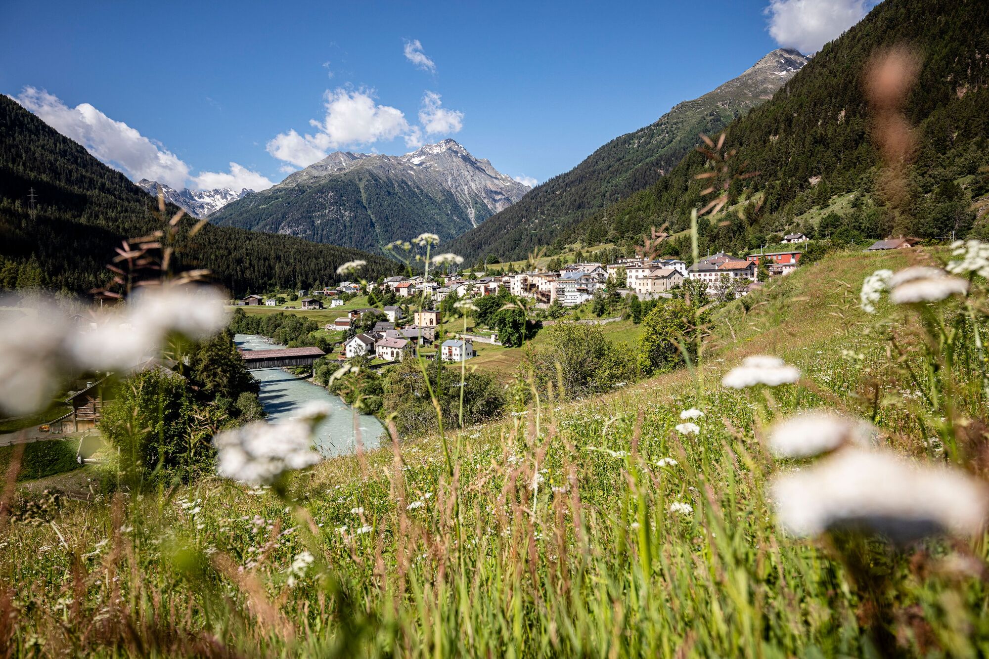
This tour begins at the railway station in Lavin. Further on, the trail crosses the Inn River, the wide hiking trail leads through an open area to the beginning of the forest. The trail continues up through...
Signposting:
The route is signposted on site with green route stickers on white signposts.

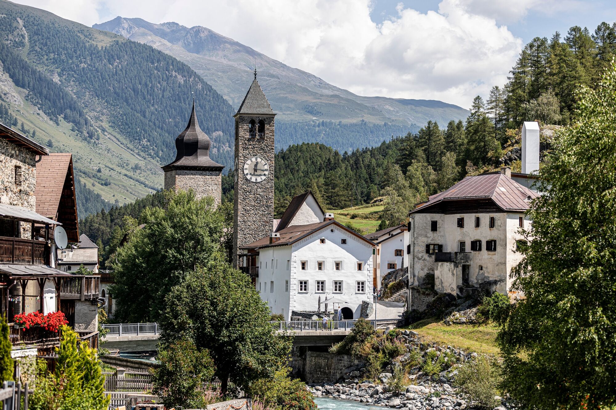
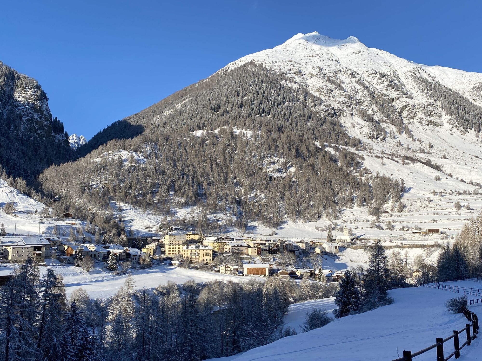
Susch
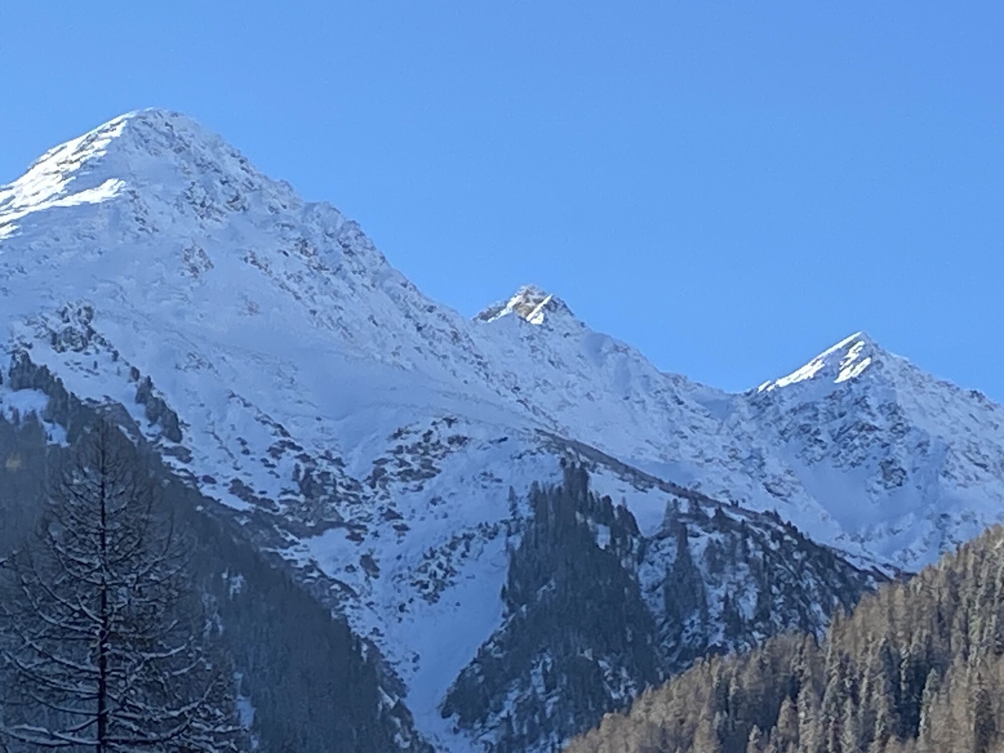
Easy climb
clearing Prasüras
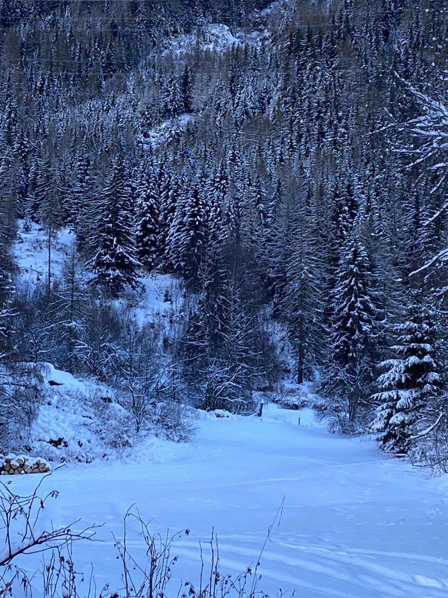
through the forest
open terrain
Lavin
across the Inn
Lavin railway station
Sturdy shoes
From the north: via Landquart - Klosters by car transport through the Vereina Tunnel (Selfranga - Sagliains) or via the Flüela Pass into the Lower Engadine on H27.
From the east: via Landeck / Austria in the direction of St. Moritz on H27
From the south: via Reschenpass (Nauders-Martina) or Ofenpass (Val Müstair-Zernez) on H27
With the Rhaetian Railway (from Chur, Landquart/Prättigau or from the Upper Engadine) hourly to Susch station.
Free parking available at Susch train station.
A visit to the «Rohan» fortress and the Foura Baldirun is particularly recommended.
Priljubljeni izleti v okolici
-
4.8
Hiking trail Piz Buin - view
srednjaPohodništvo 14.4 km -
4.9
Jöriseen
srednjaPohodništvo 11.3 km -
5.0
Großer Piz Buin (3.312m), Normalweg 2019 über Ochsentaler Gletscher
težkoVisokogorska tura 24.1 km -
4.8
National park: Zernez – Munt Baselgia – Macun lakes – Alp Zeznina – Lavin
težkoPohodništvo 22.9 km -
2.0
Bielerhöhe - Vermuntkopf - Bielerhöhe
srednjaPohodništvo 17 km -
4.5
Tarasp Fontana – Sparsels – Lai Nair (circular route)
svetlobaPohodništvo 7.67 km -
4.0
National Park: Margunet
svetlobaPohodništvo 7.76 km -
4.8
National Park: Grimmels (circular hike)
svetlobaPohodništvo 6 km -
Ascent of Hohes Rad and stop at the Wiesbadener Hut
težkoPohodništvo 15.8 km -
Flüelapass – Schwarzhorn (return)
srednjaPohodništvo 7.92 km
Pohodništvo in sledenje


Ne zamudite ponudb in navdiha za naslednje počitnice
Vaš e-poštni naslov je bil dodan na poštni seznam.