







Vesil-Trail

Stopnja težavnosti: S3
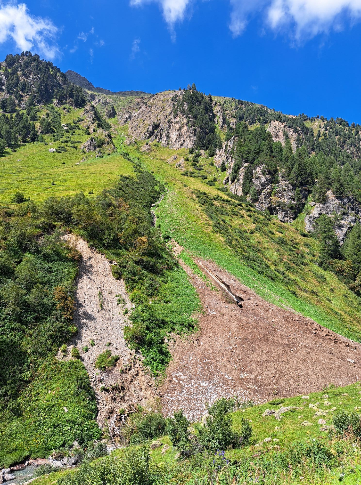
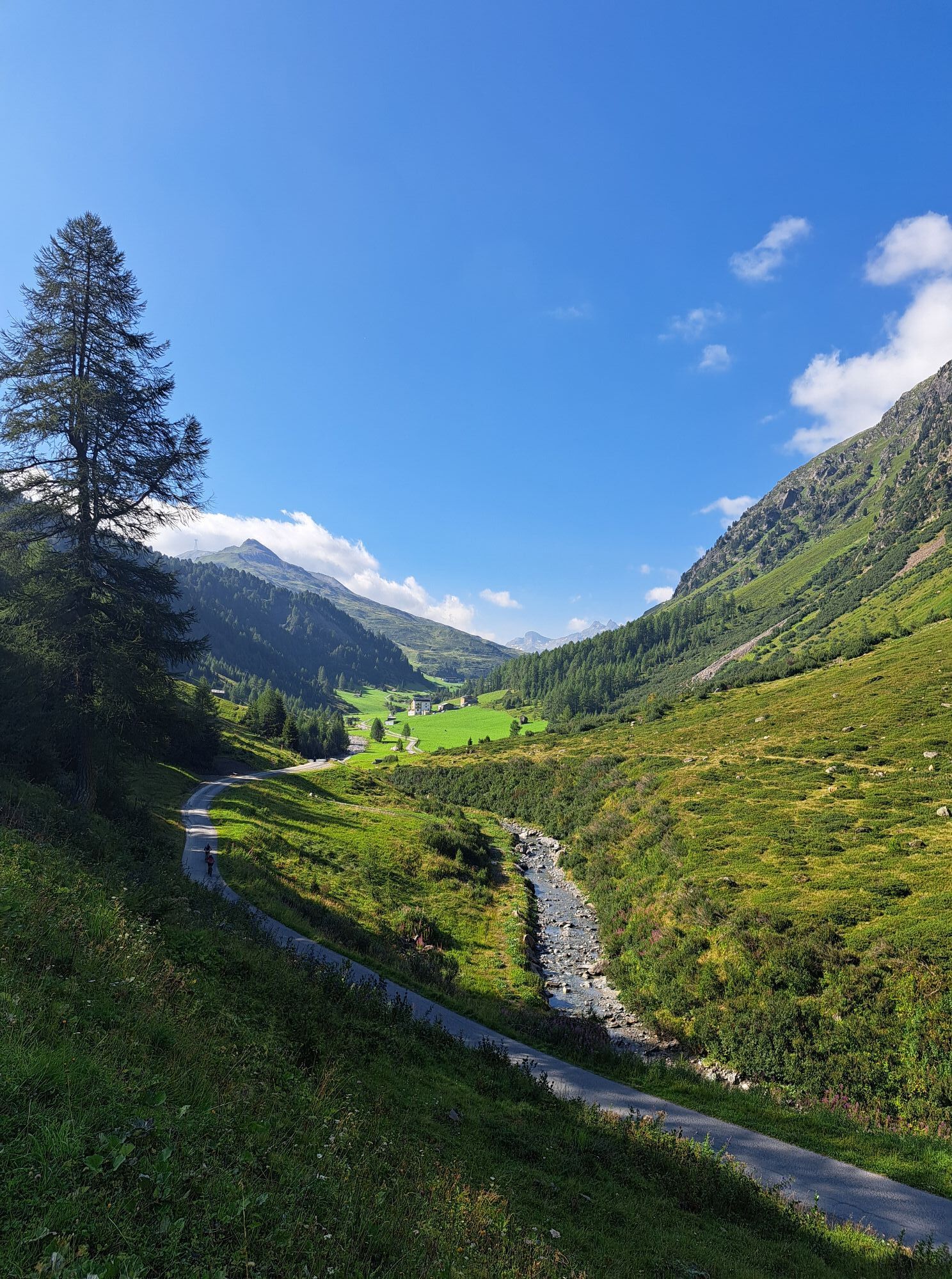
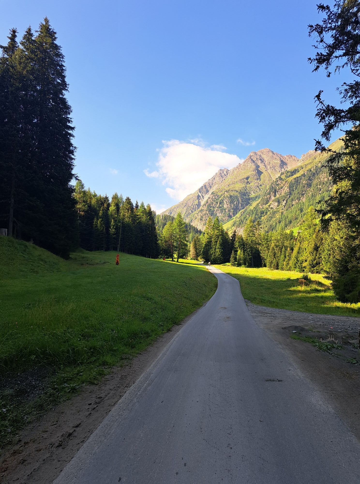
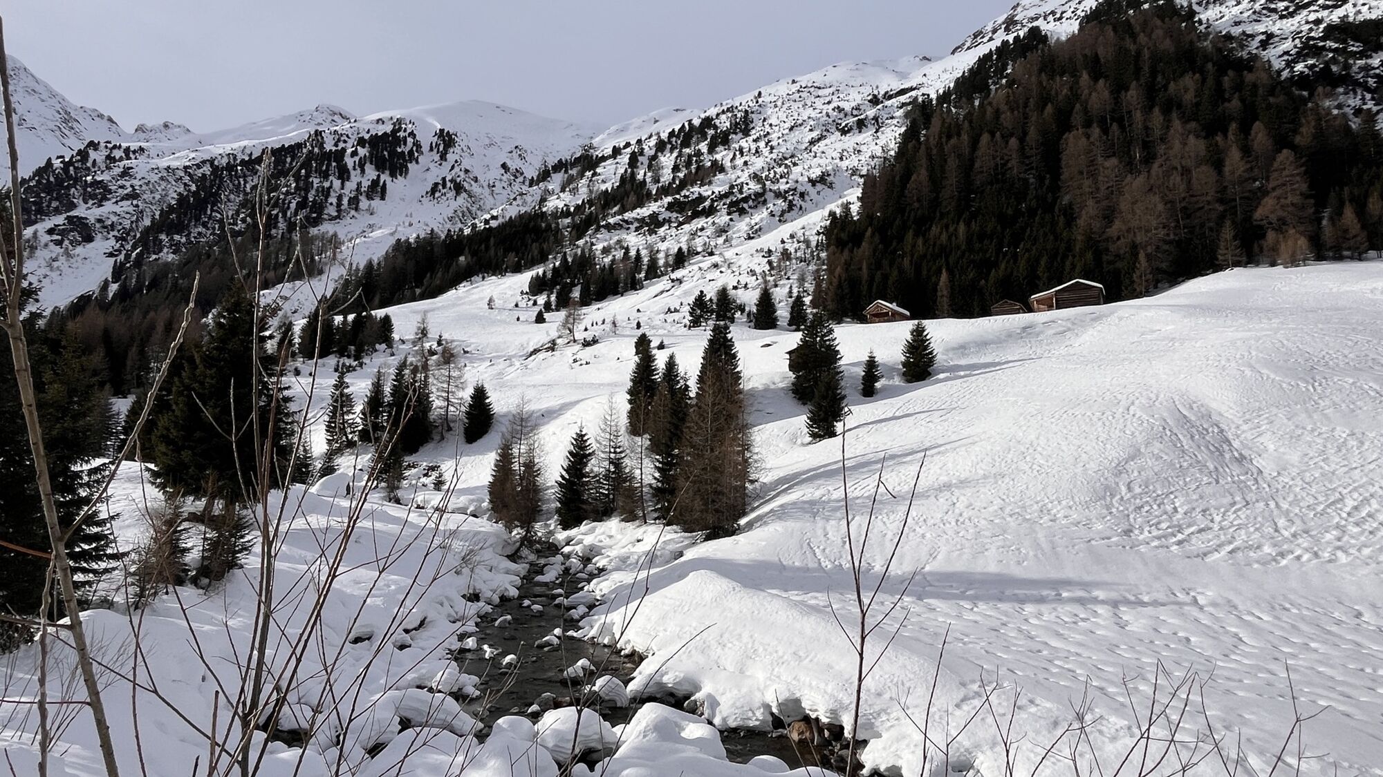
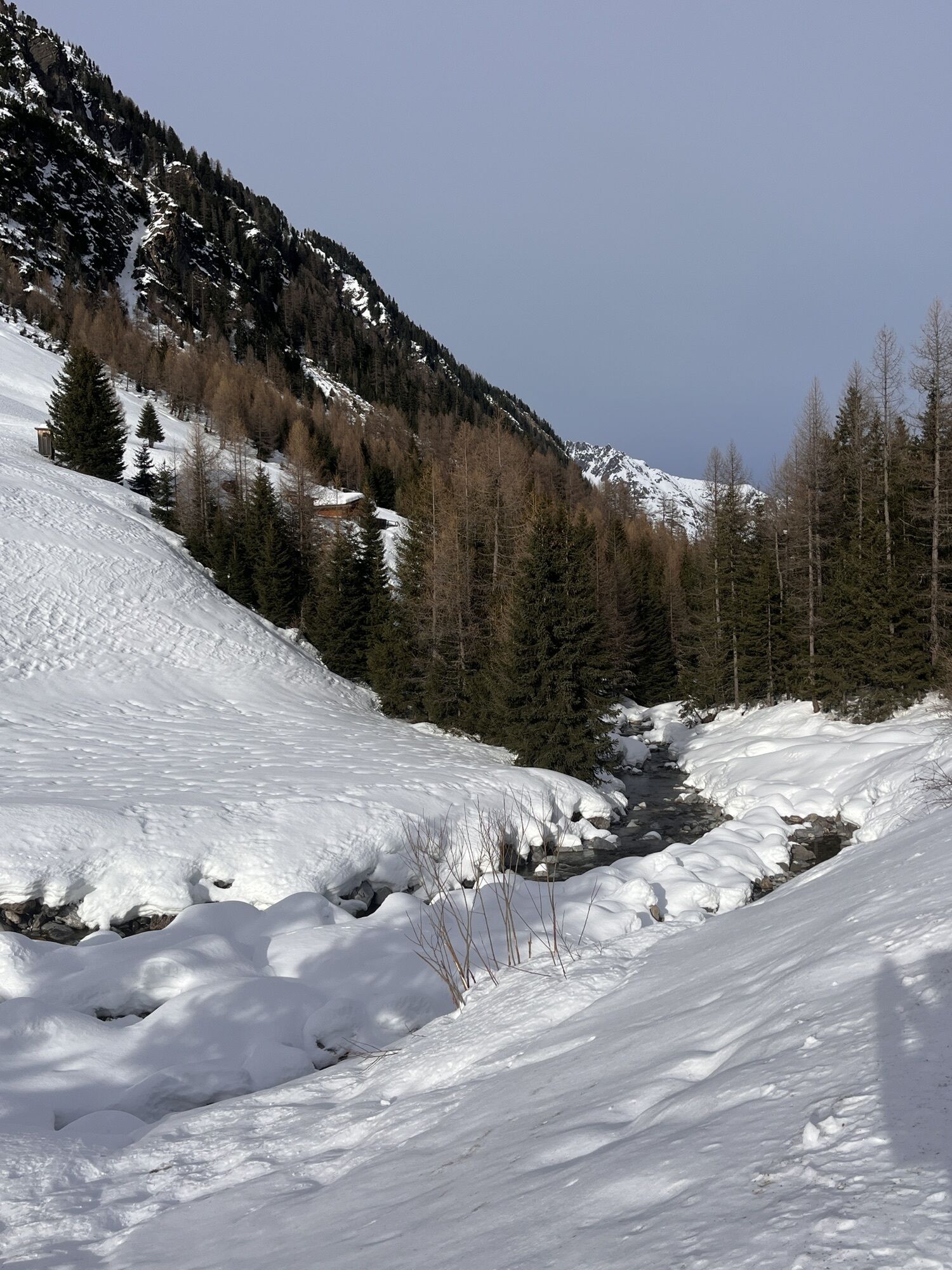
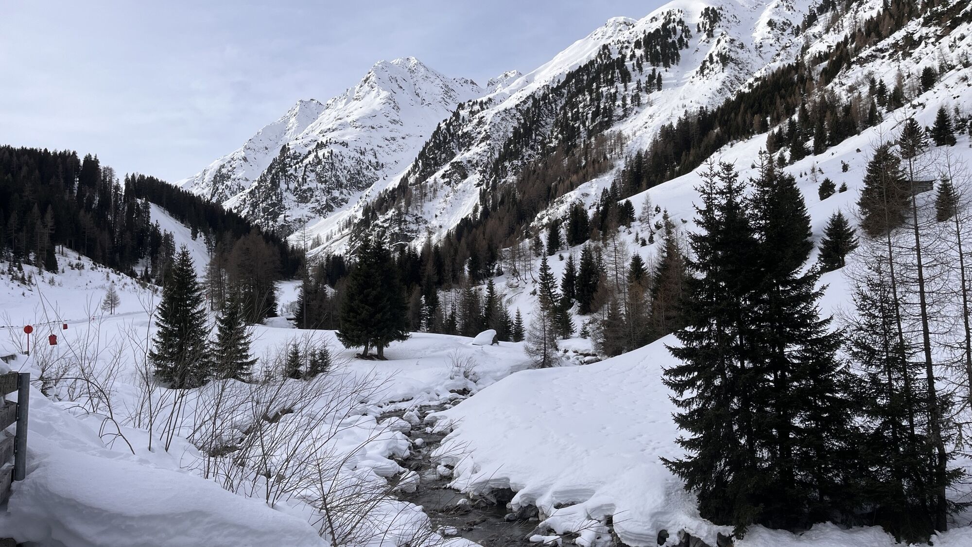
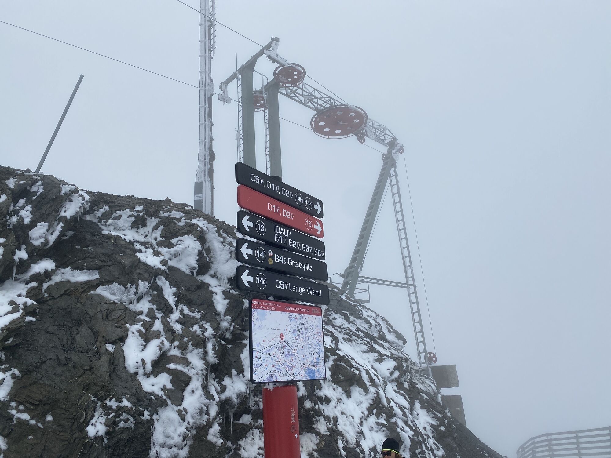
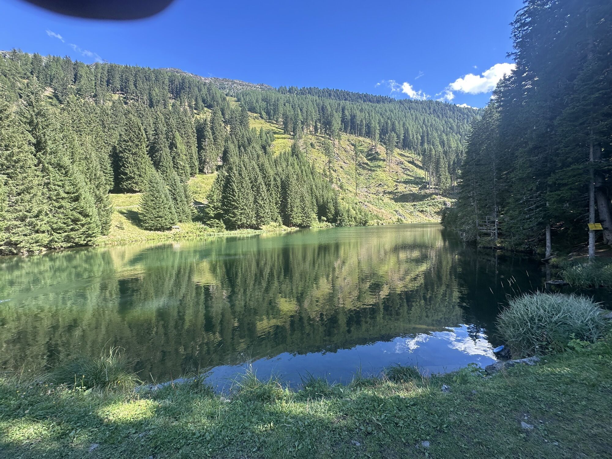
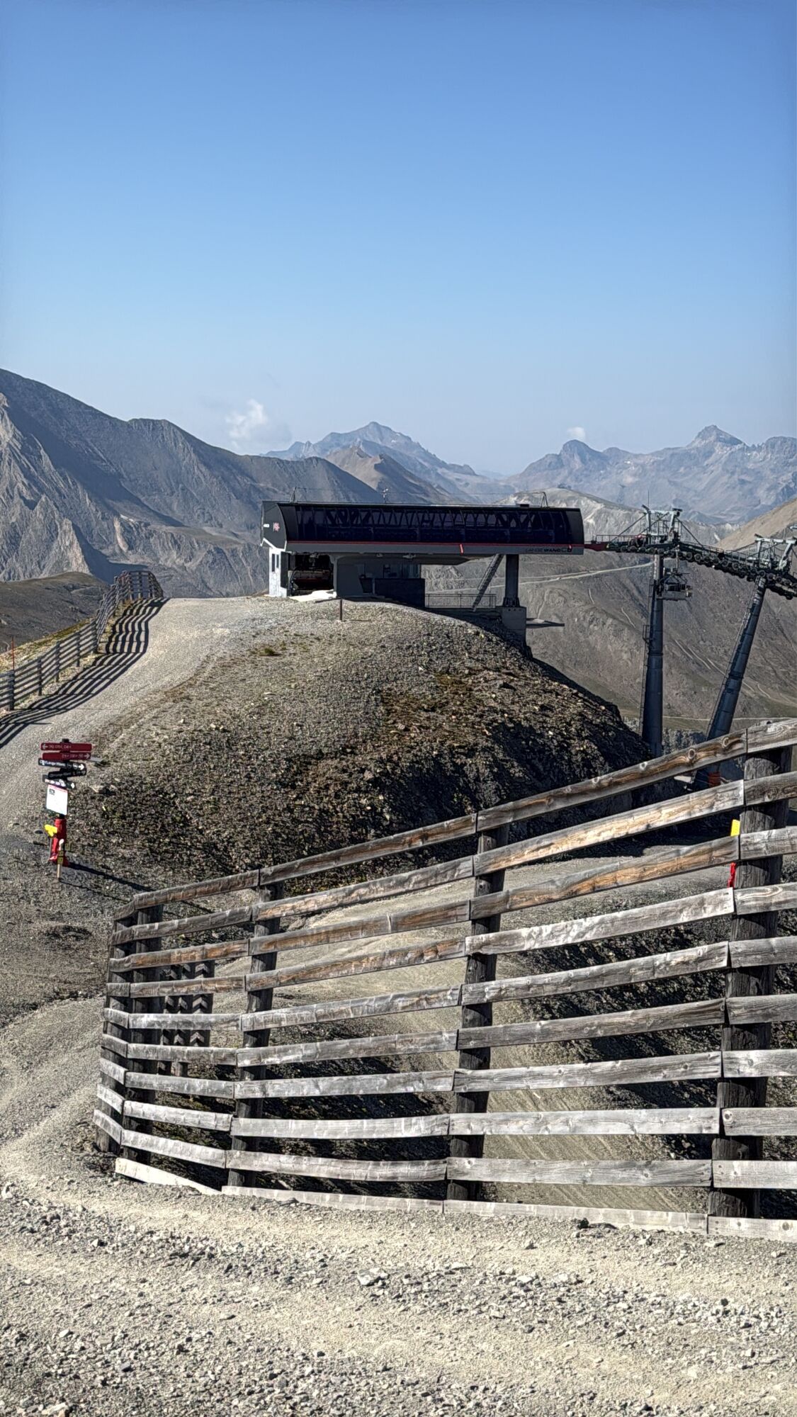
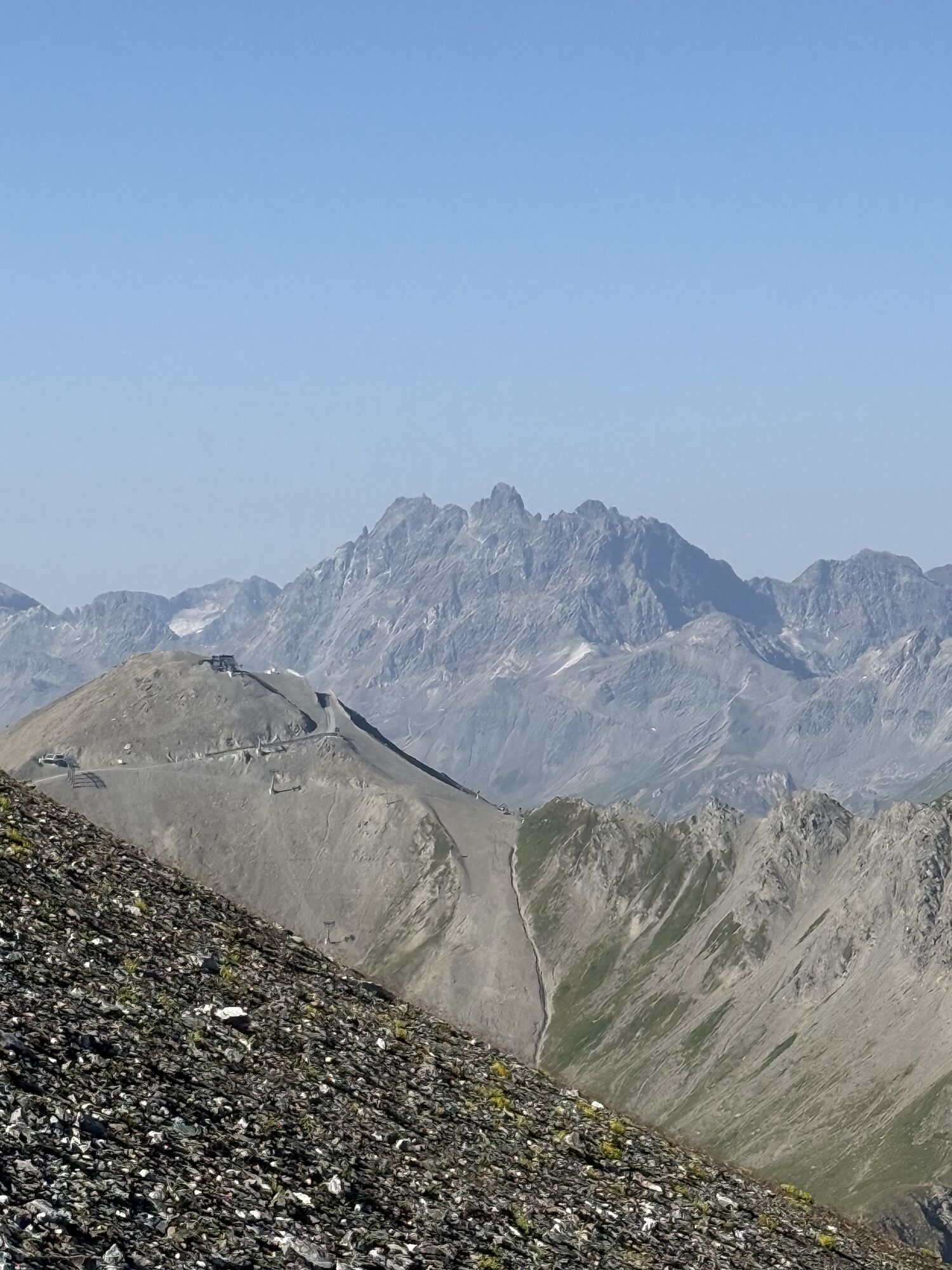
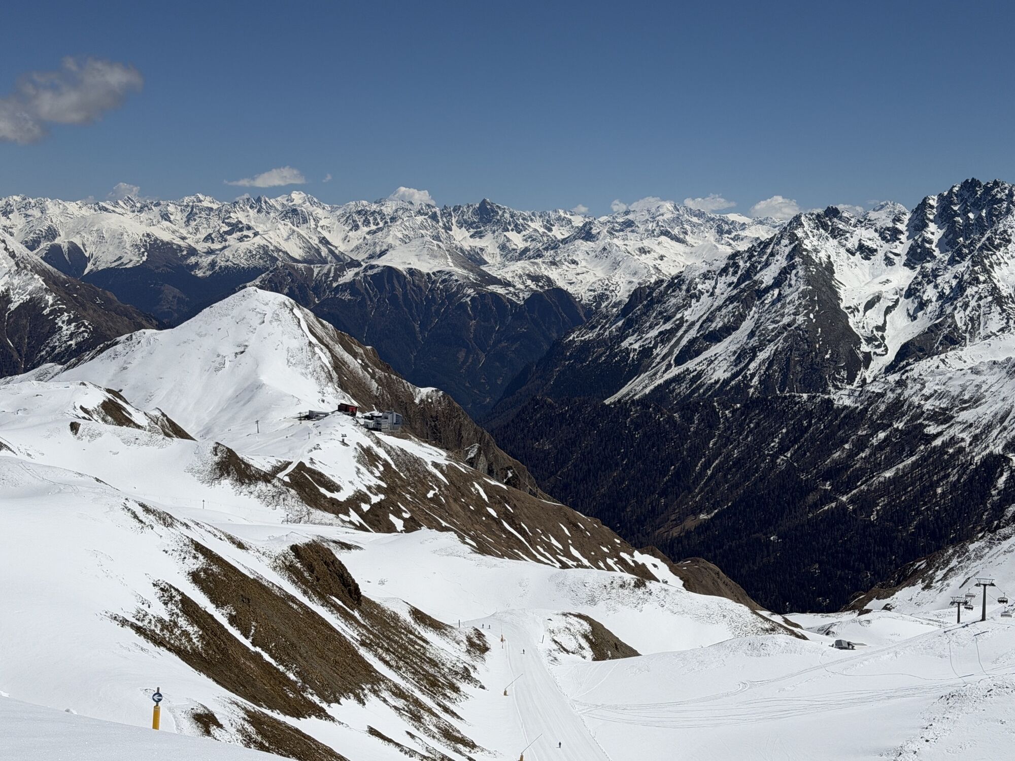
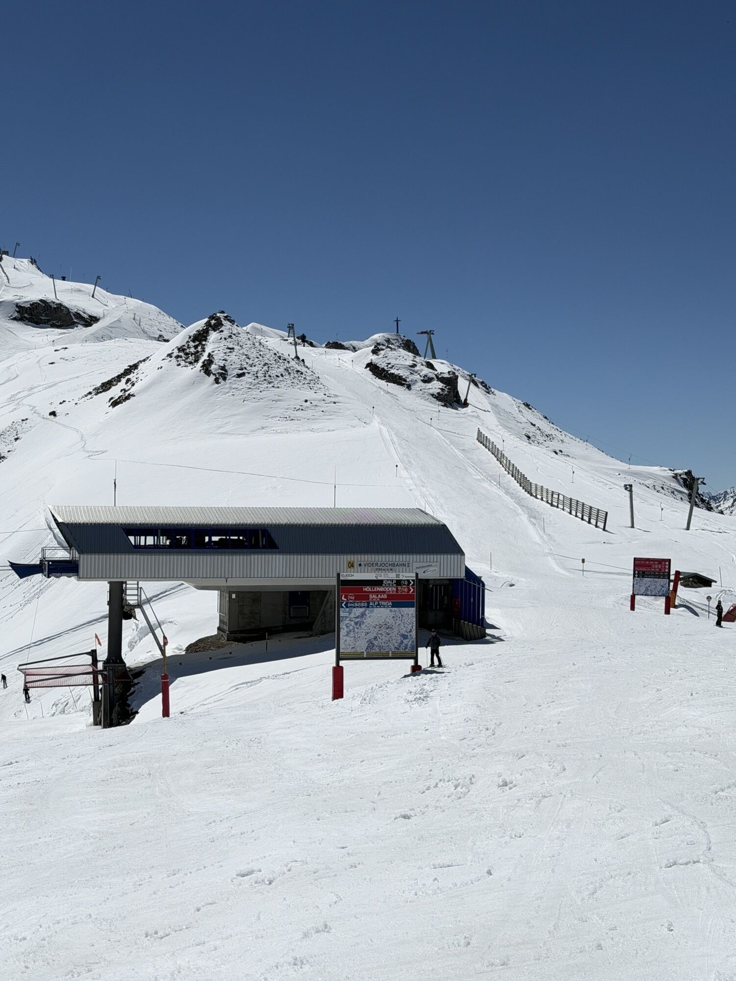
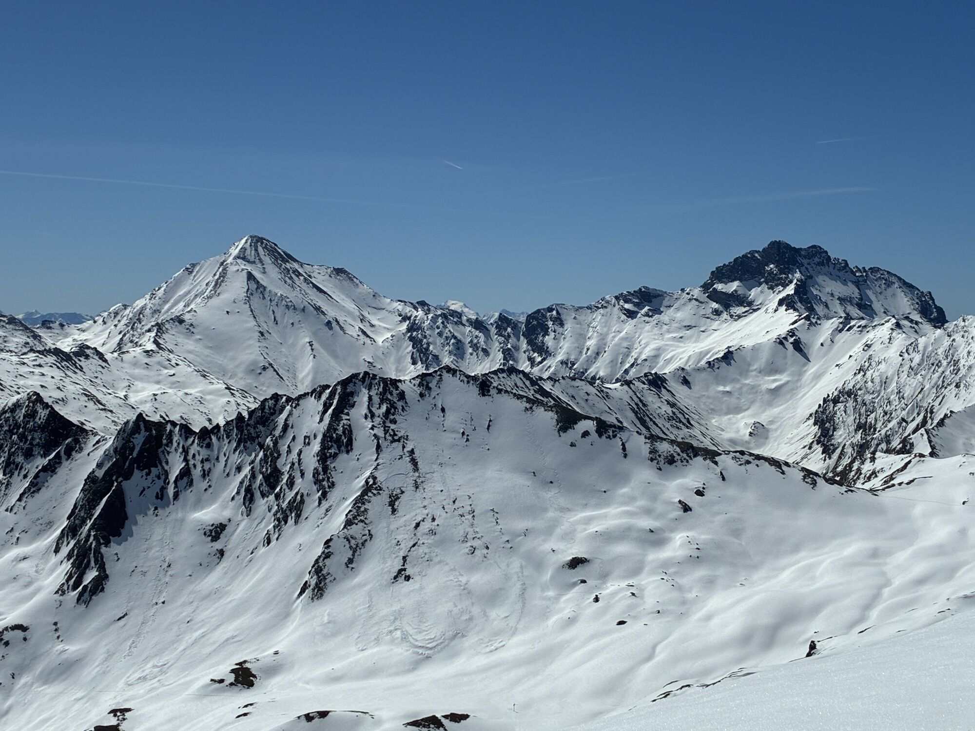
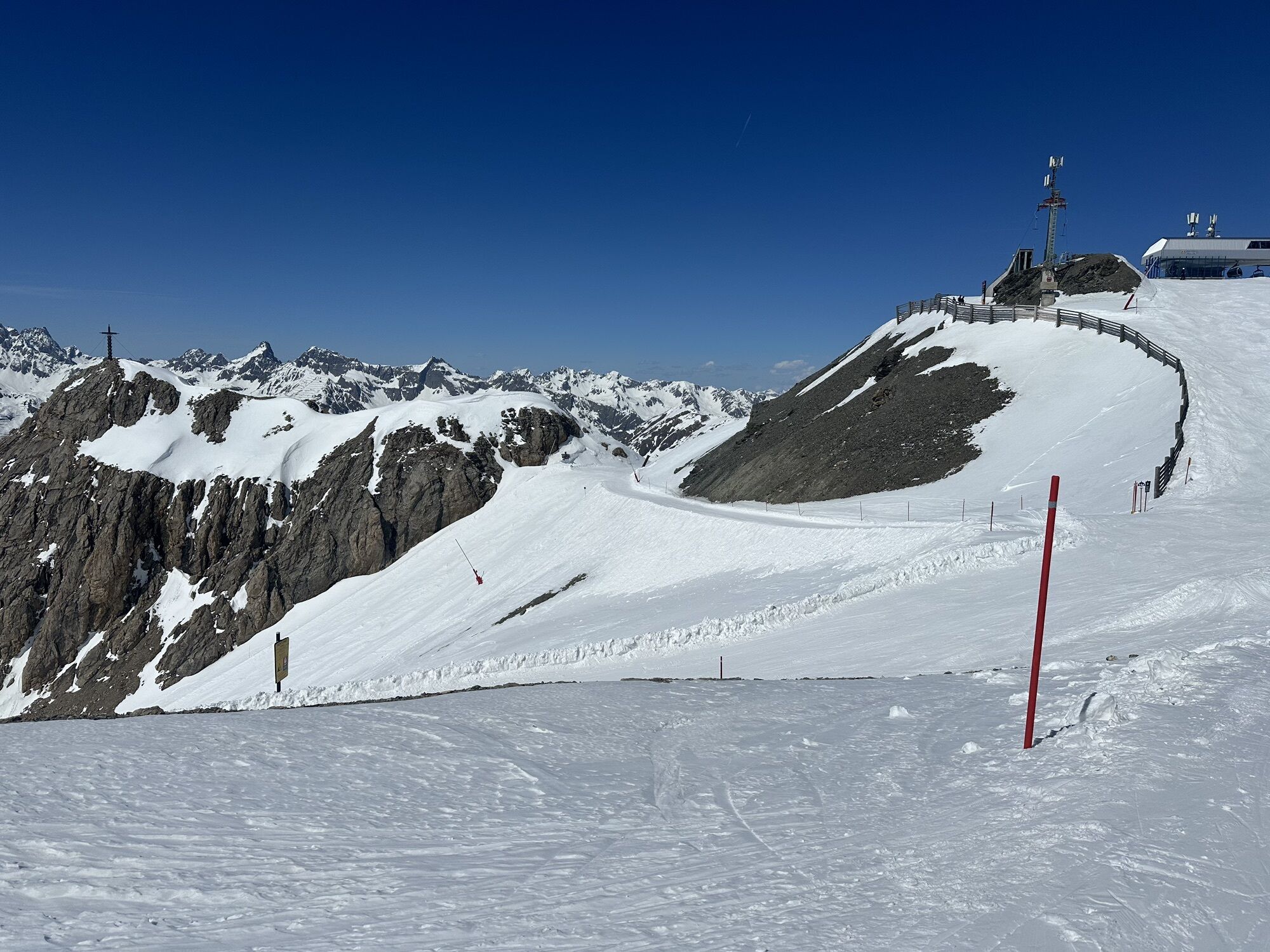
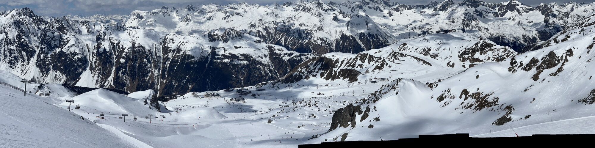
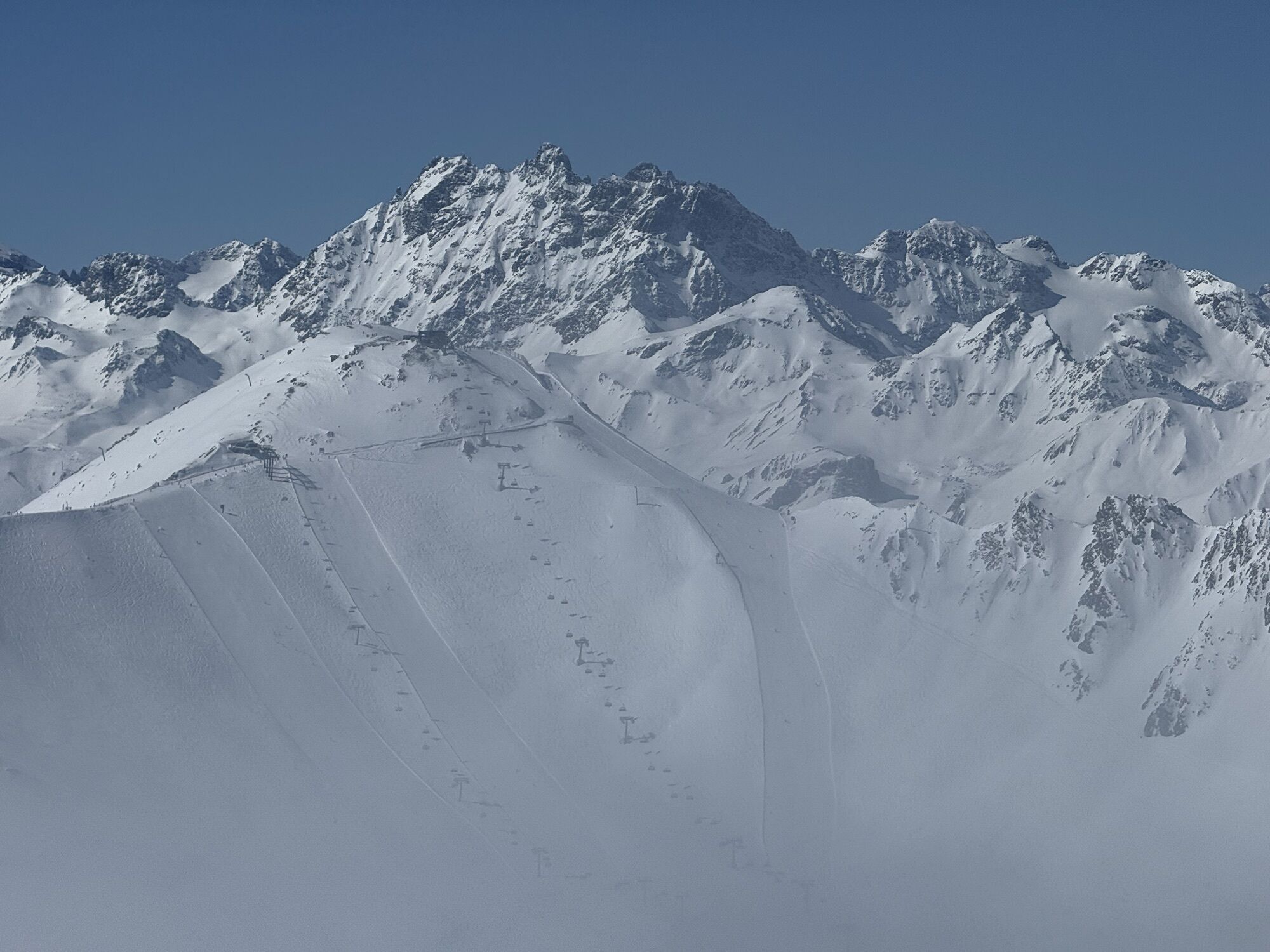
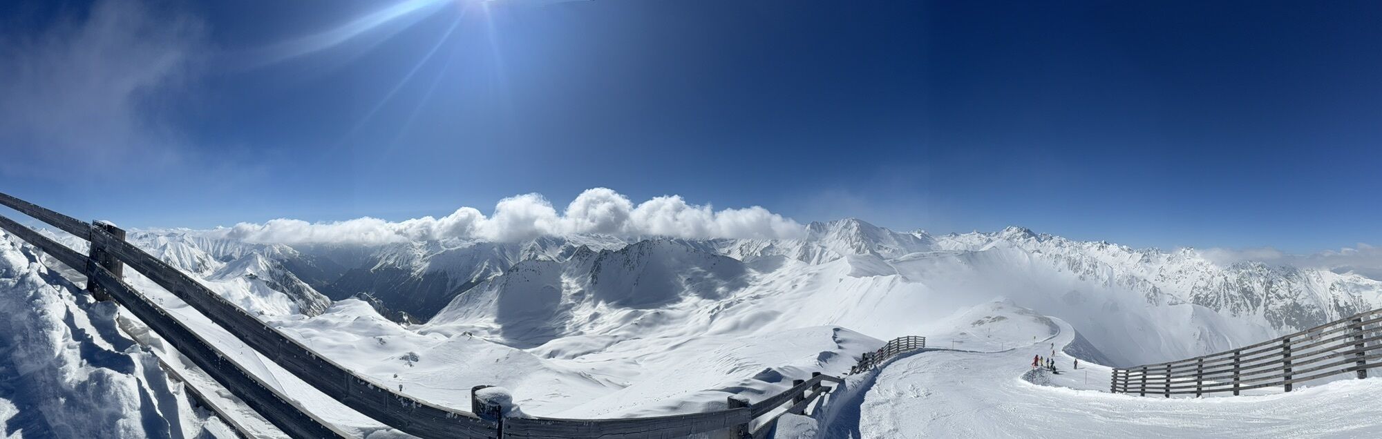
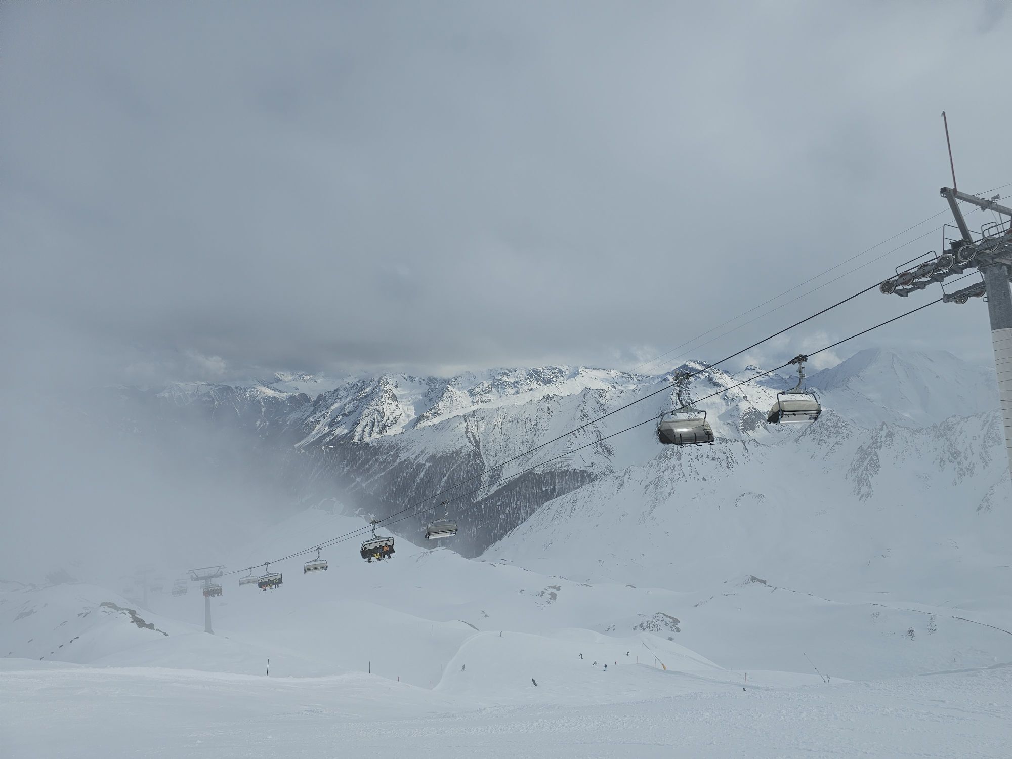
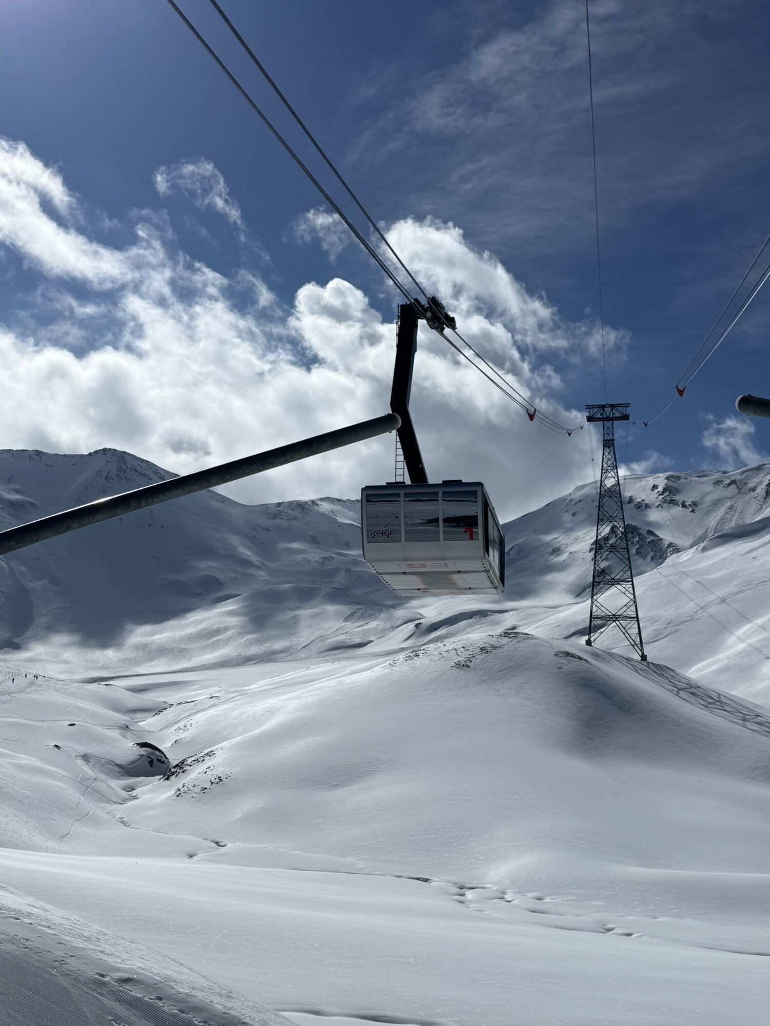
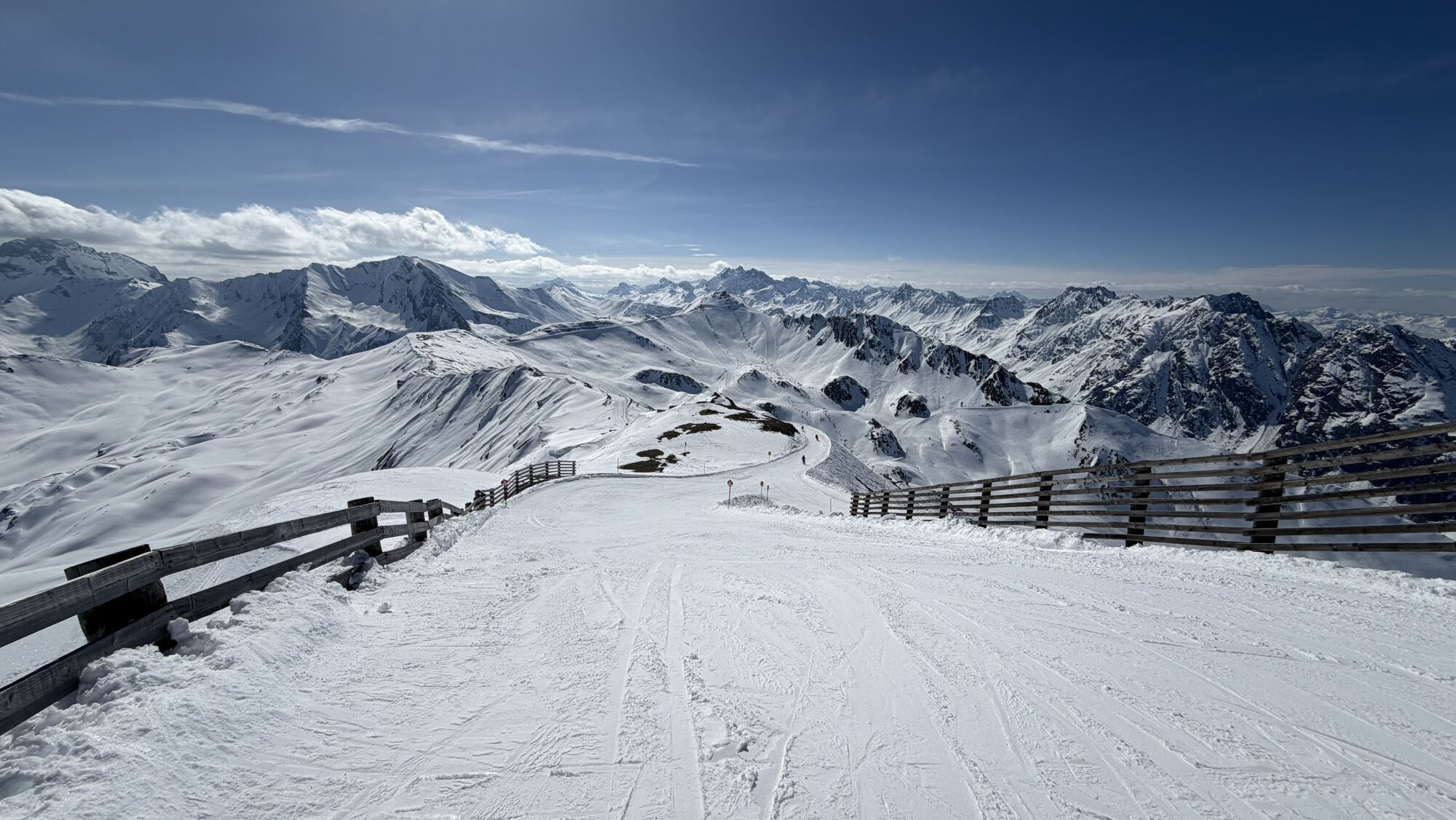
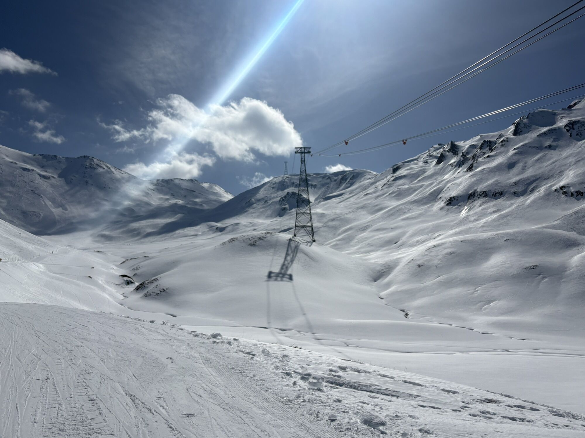
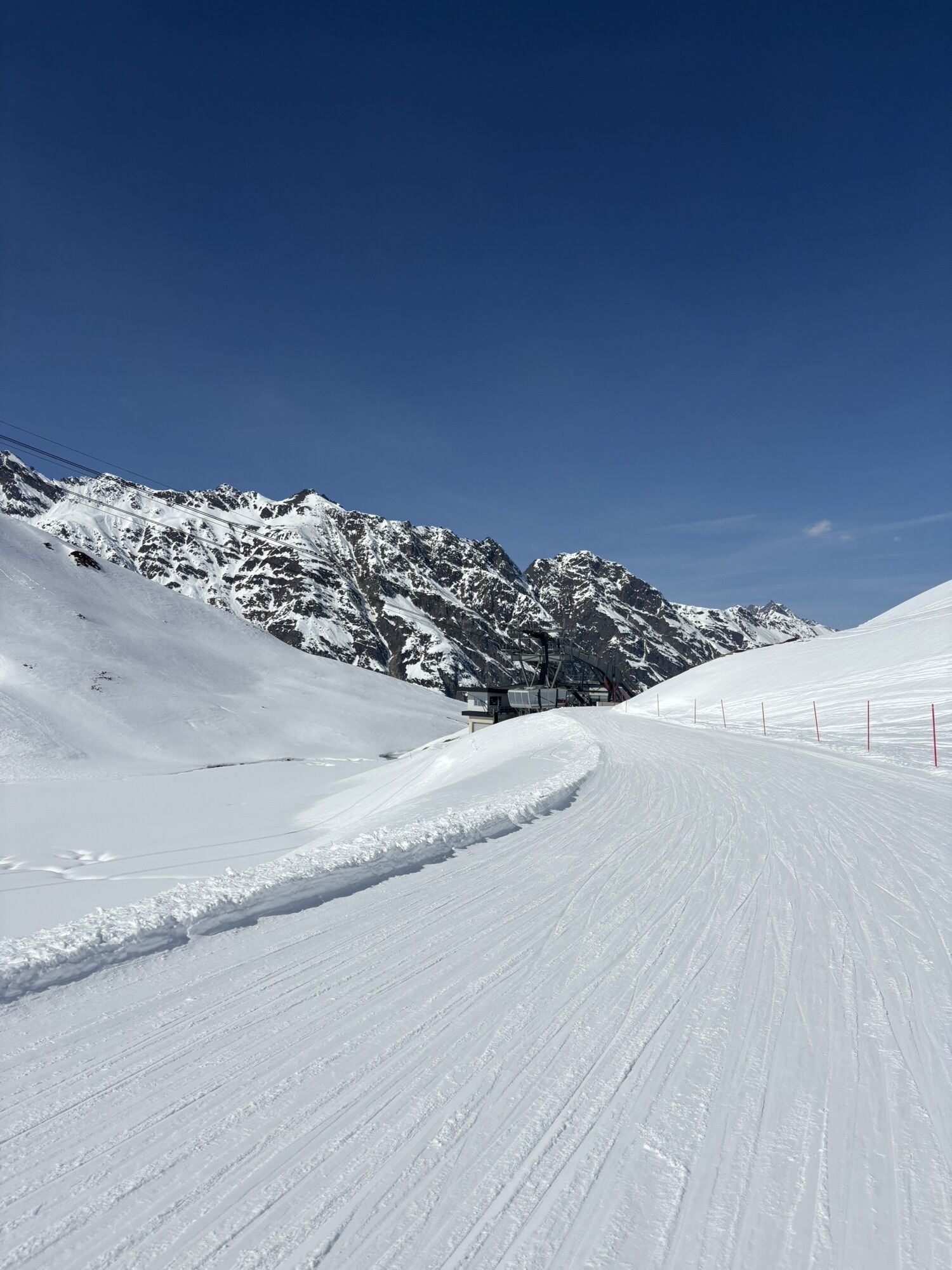
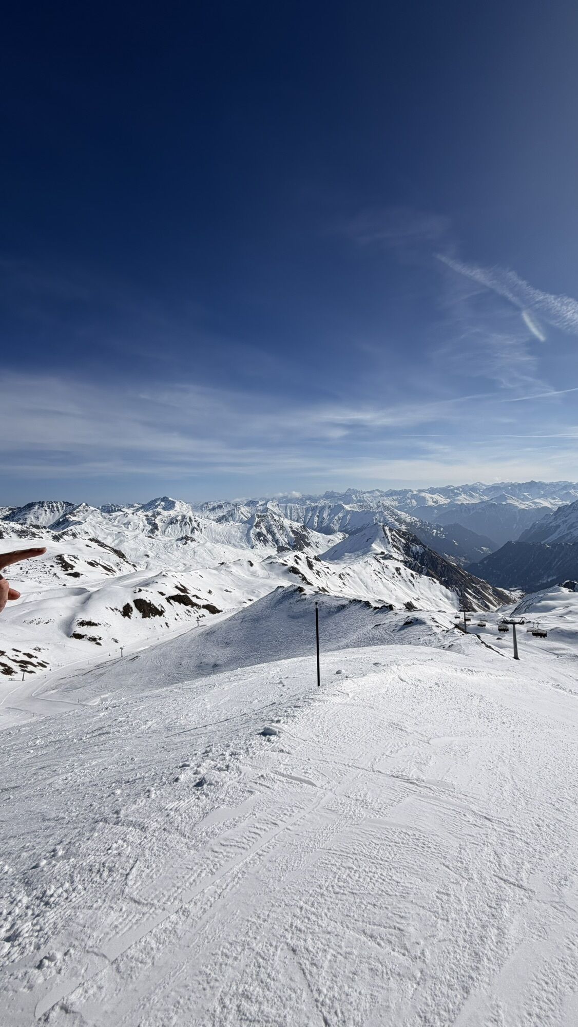

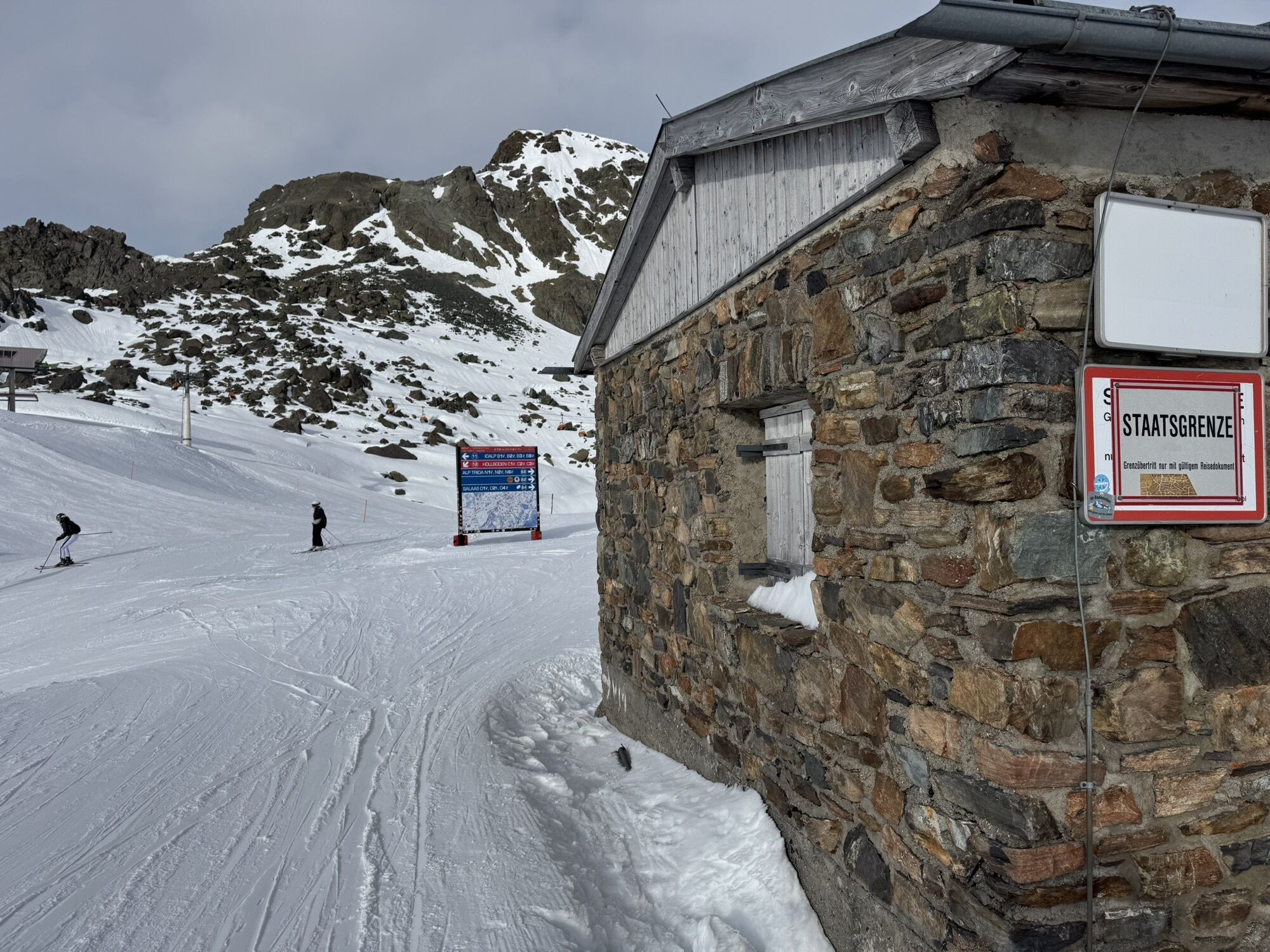
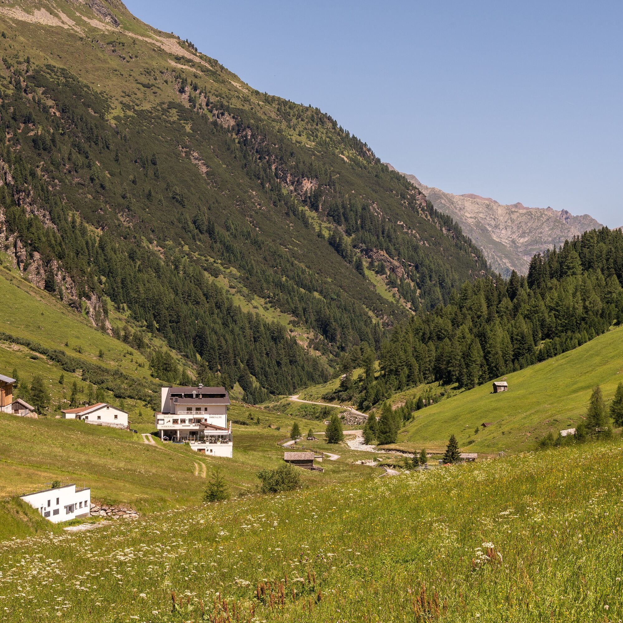
The route starts at the cable car station of the Flimsattelbahn and first leads along a forest road with a challenging climb up to the Greitspitze. Along the ridge towards Salaaser Kopf, bikers can enjoy...
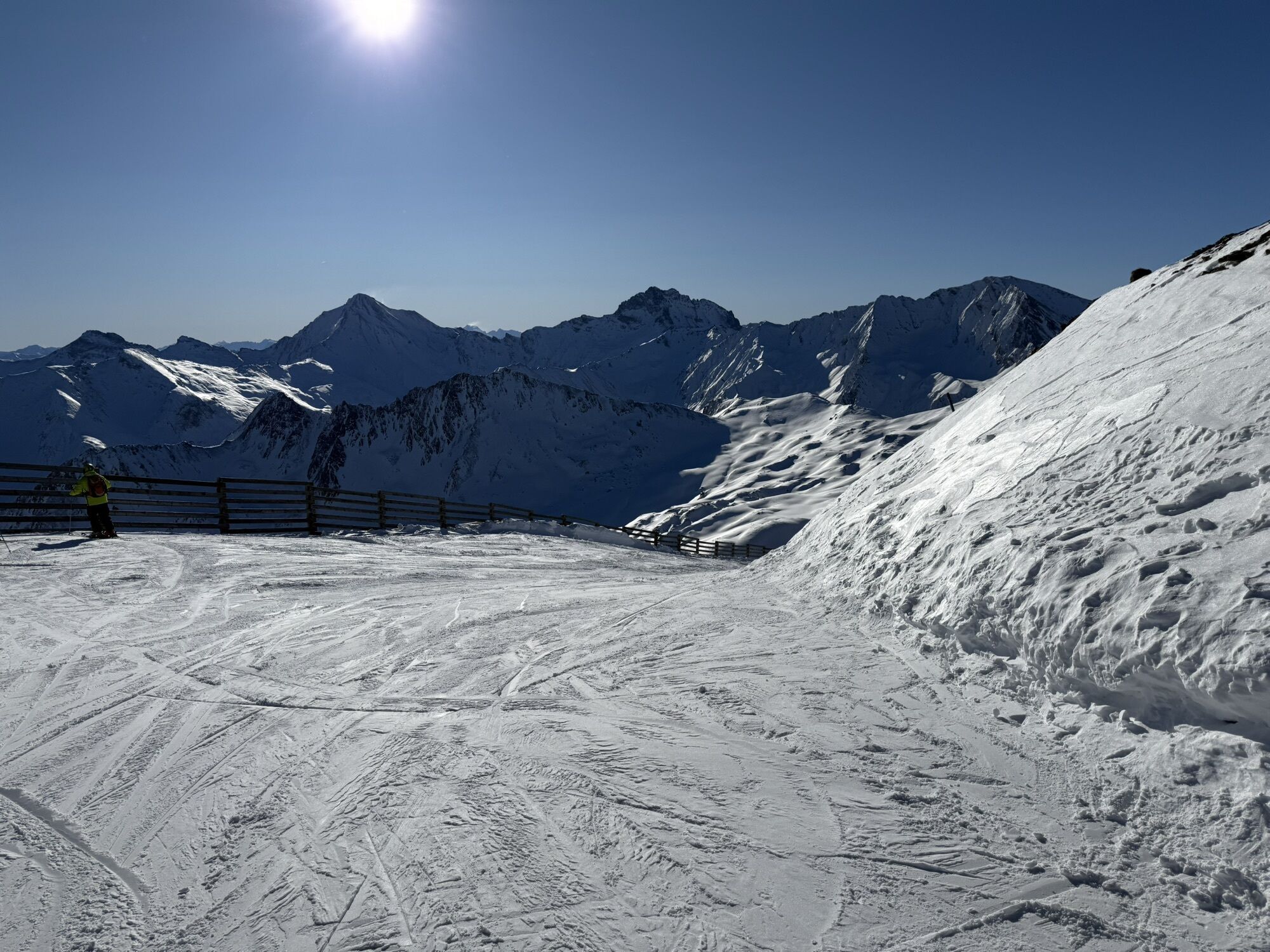
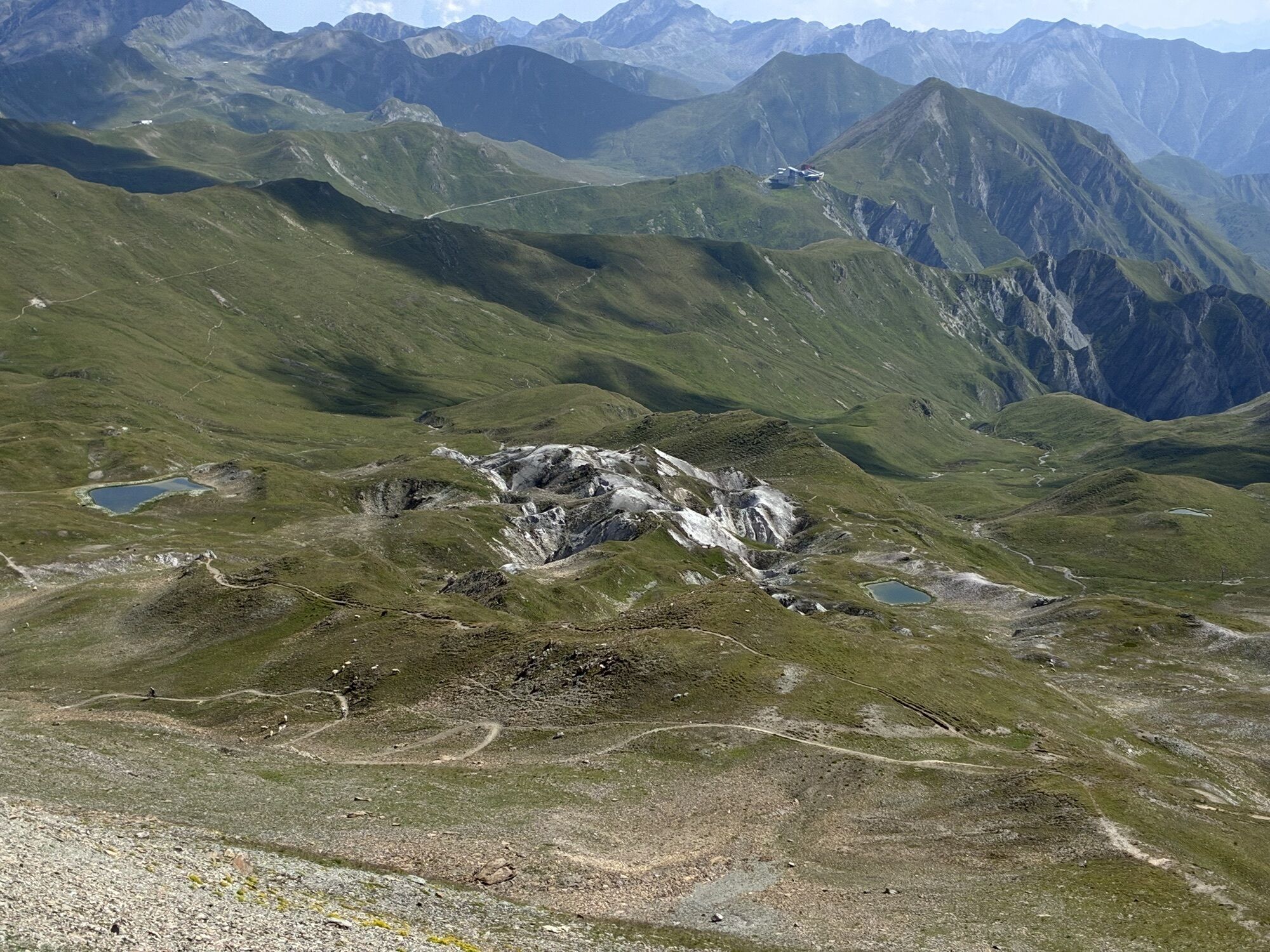
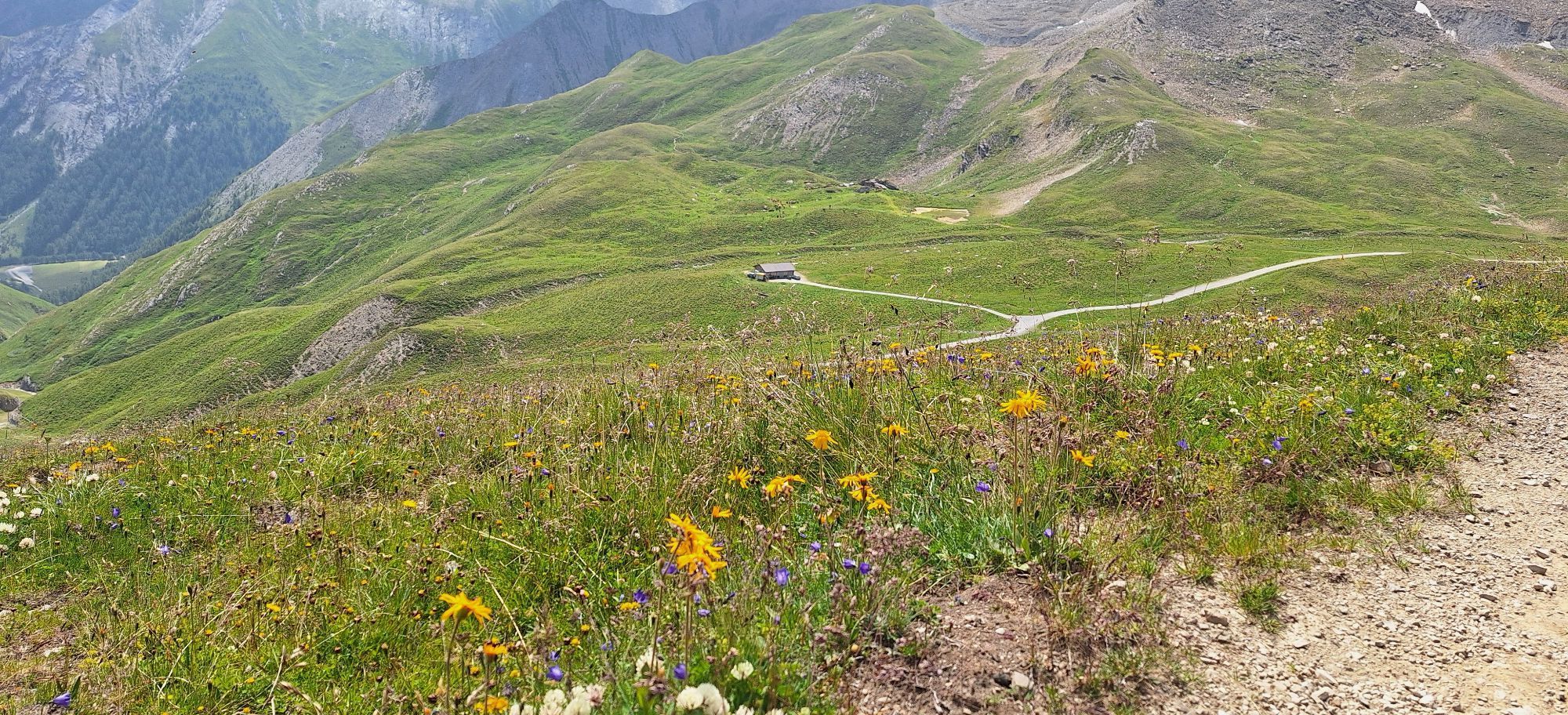
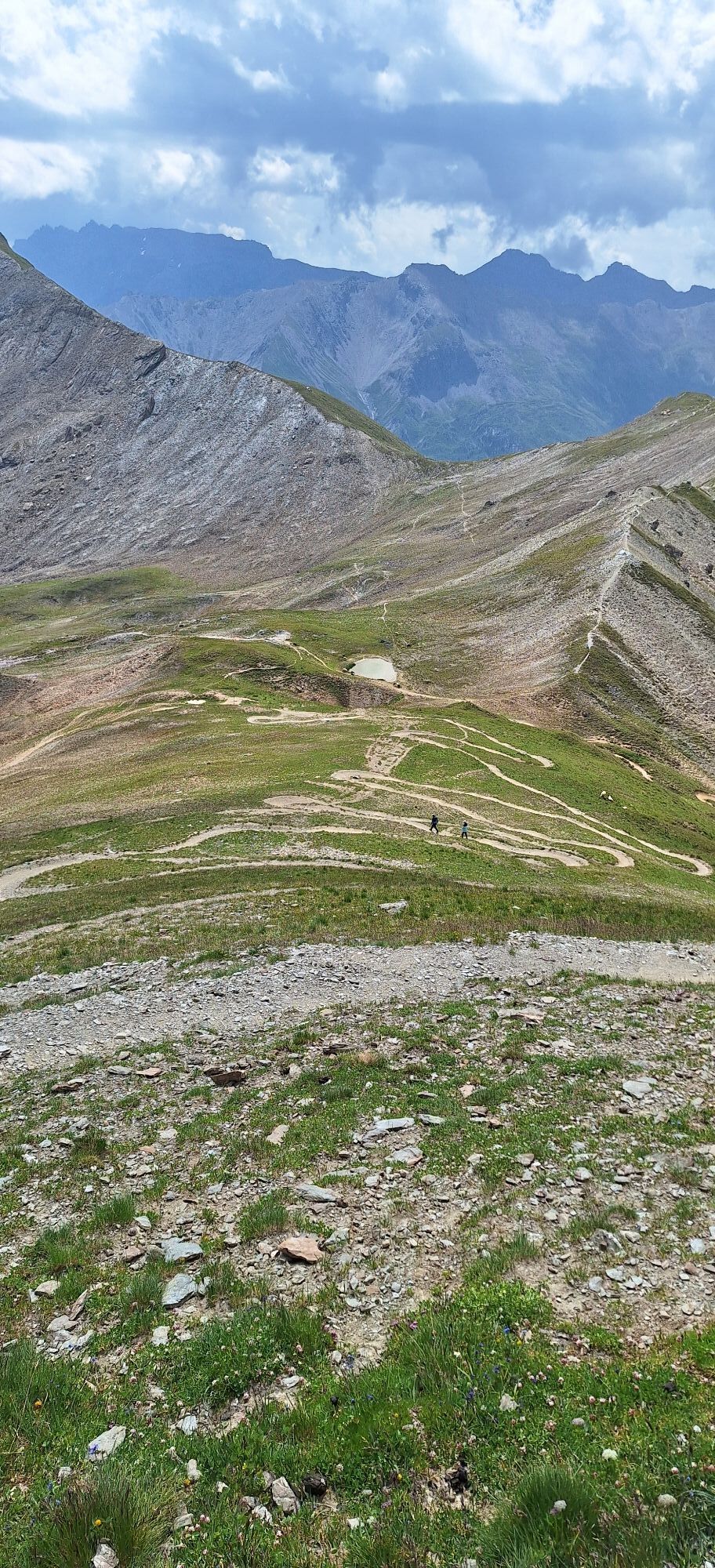
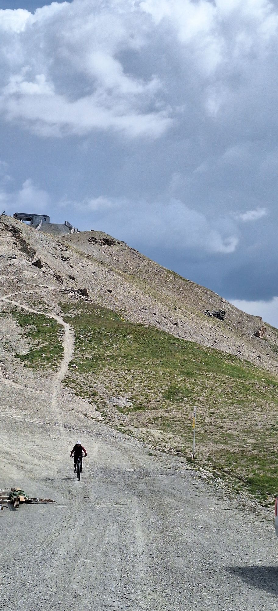
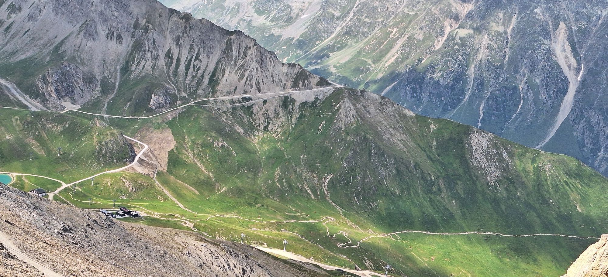
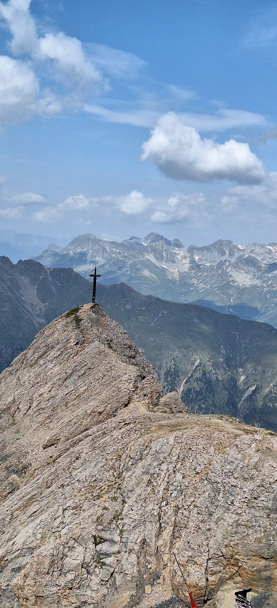
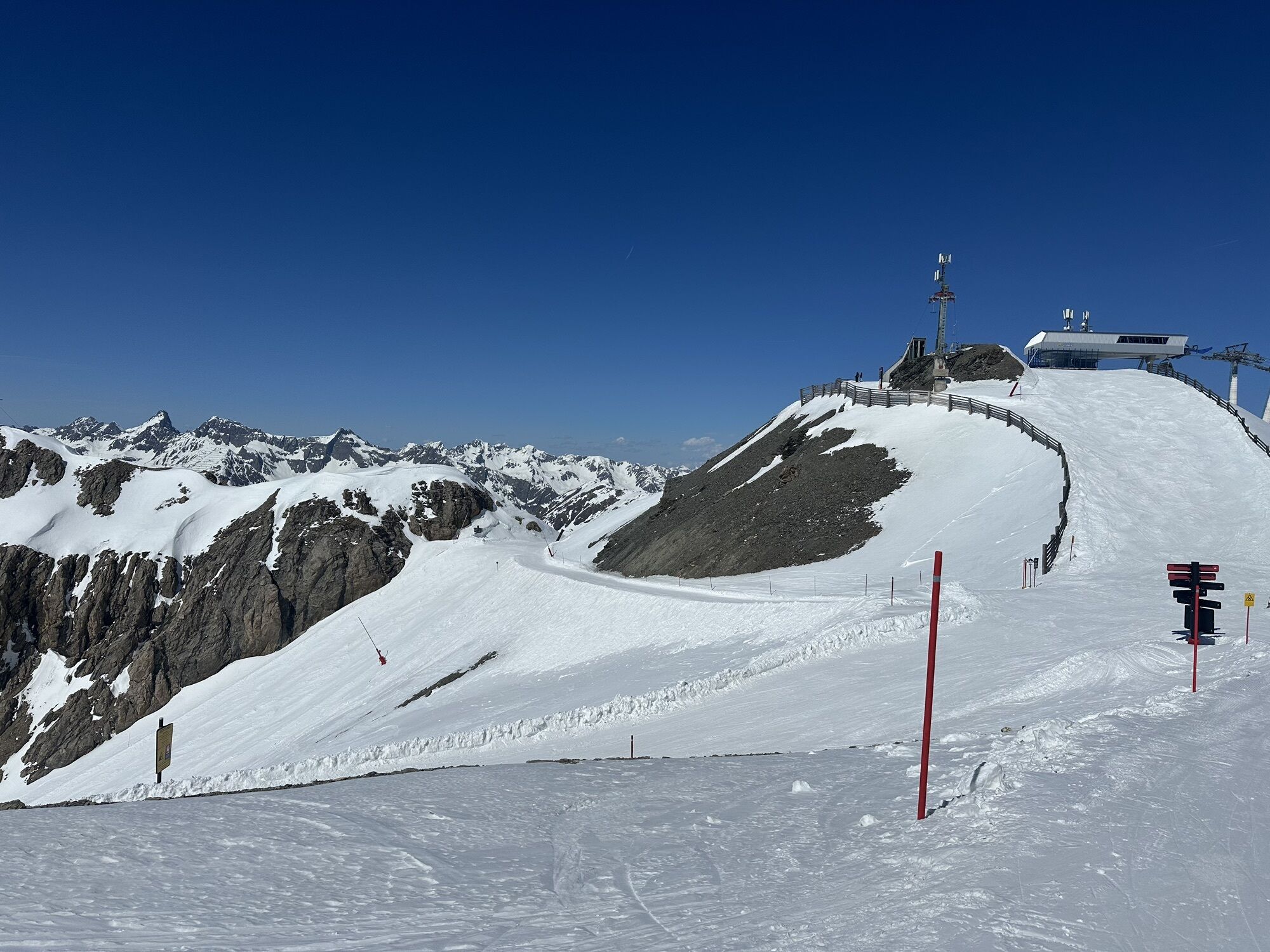
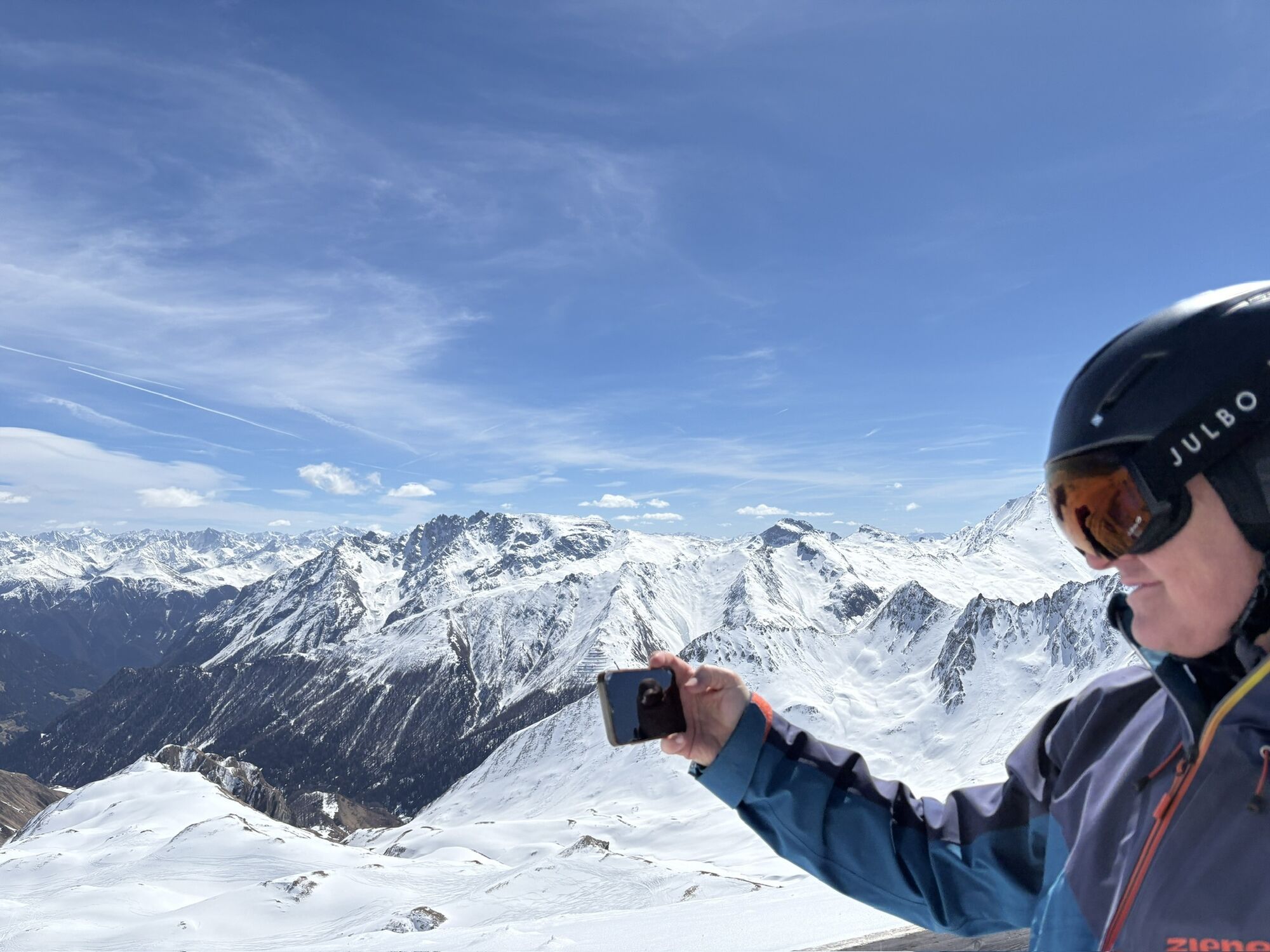
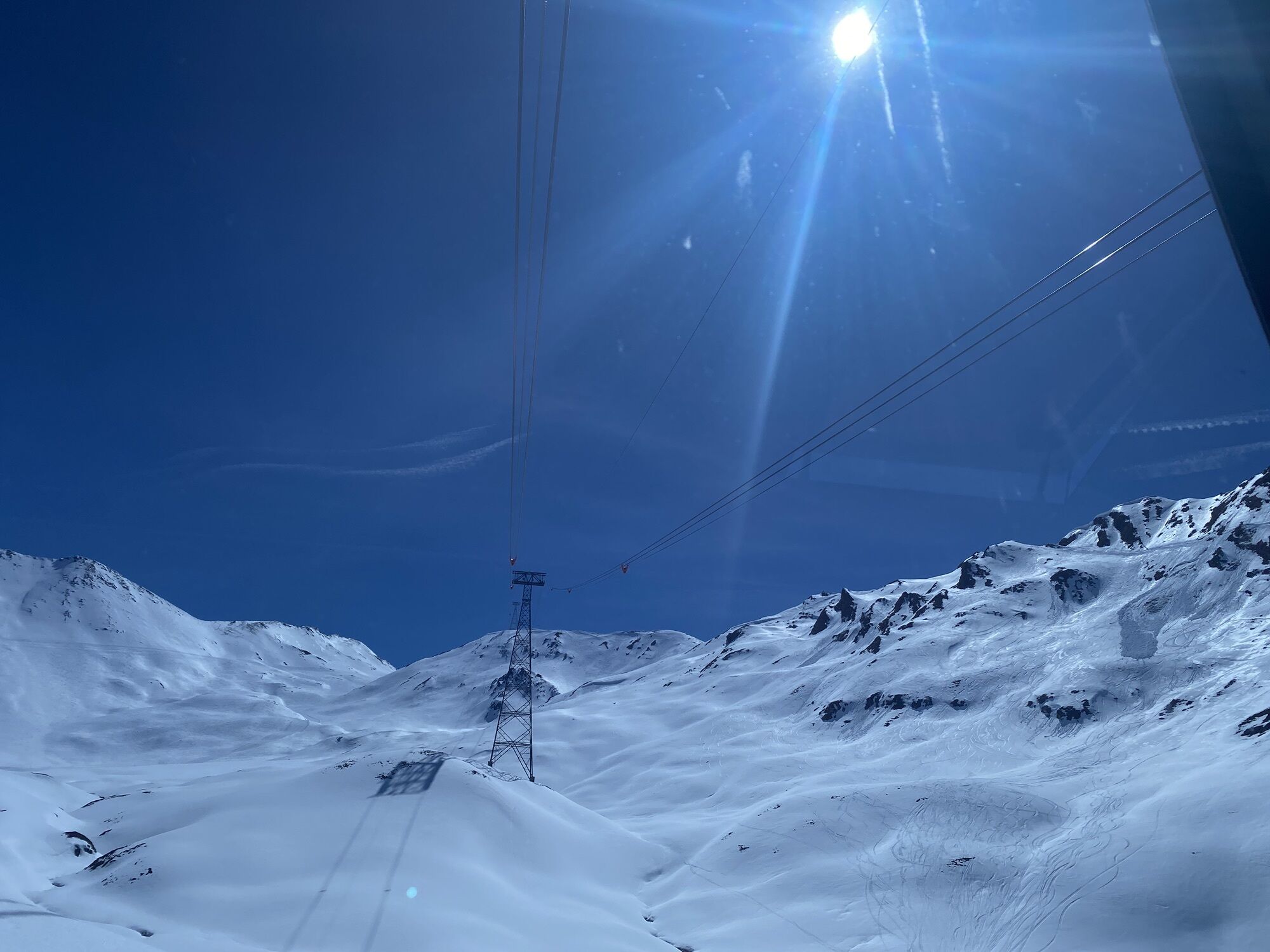
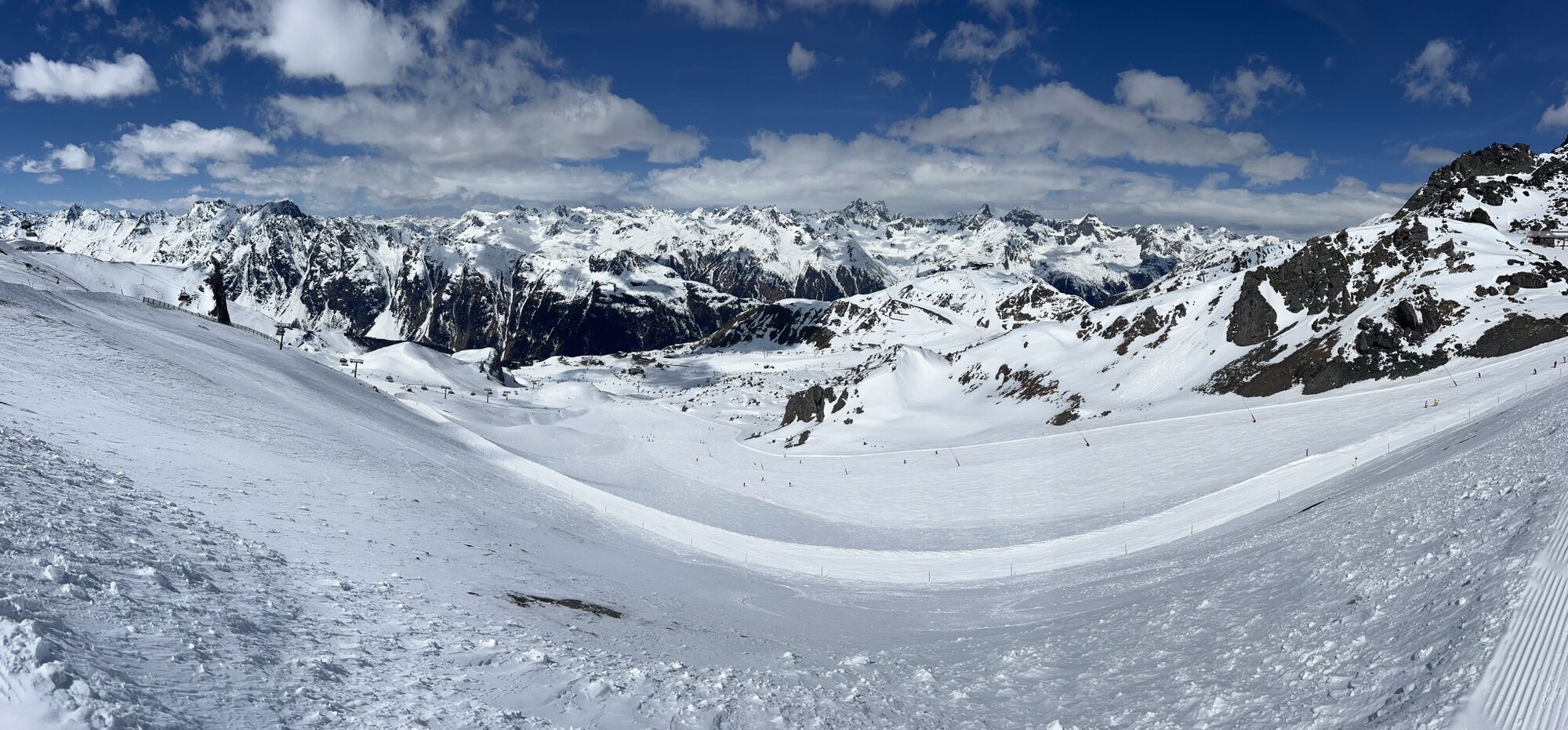
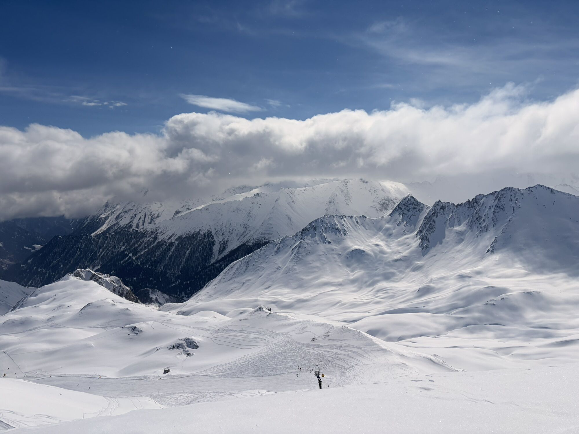
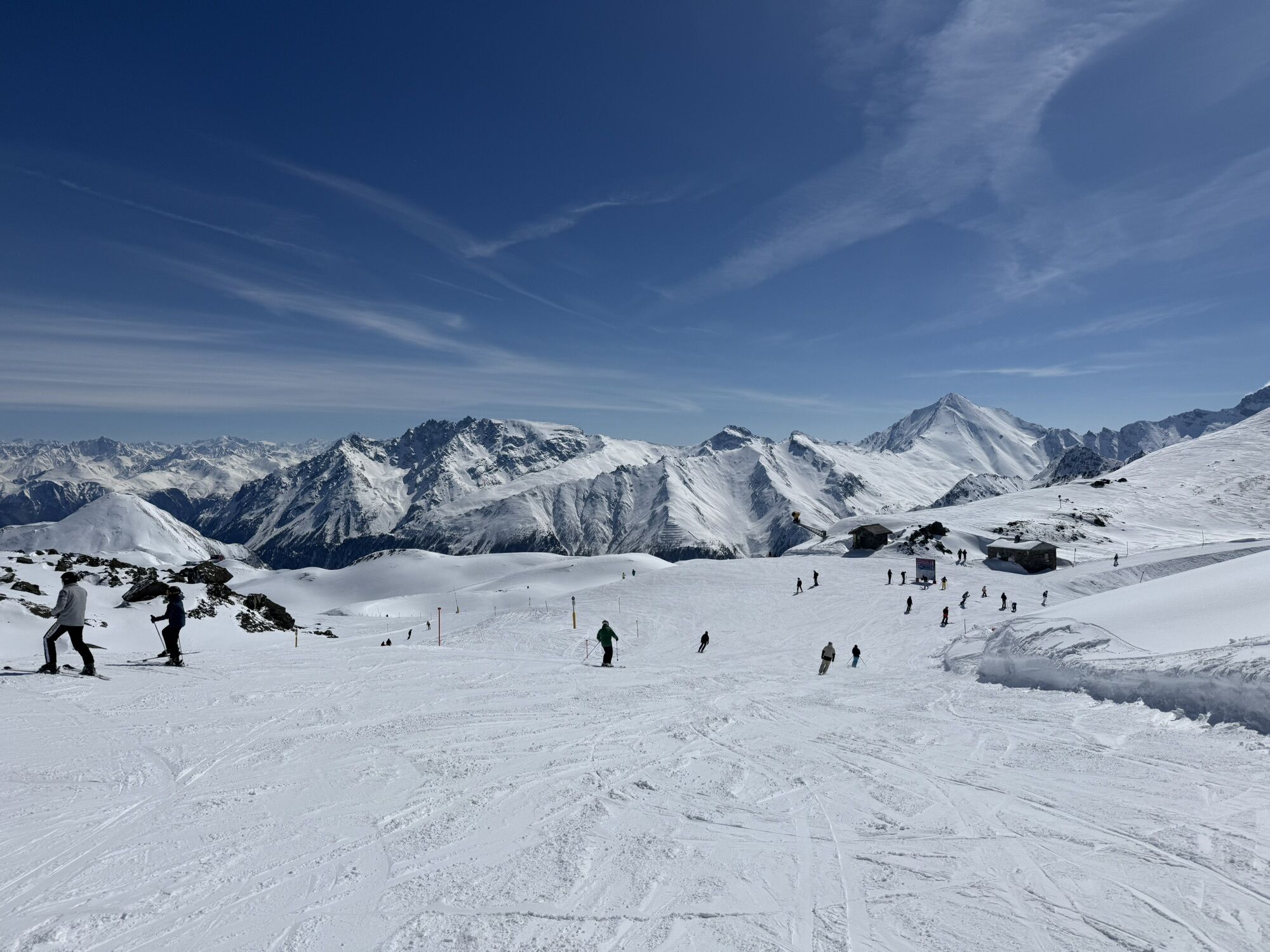
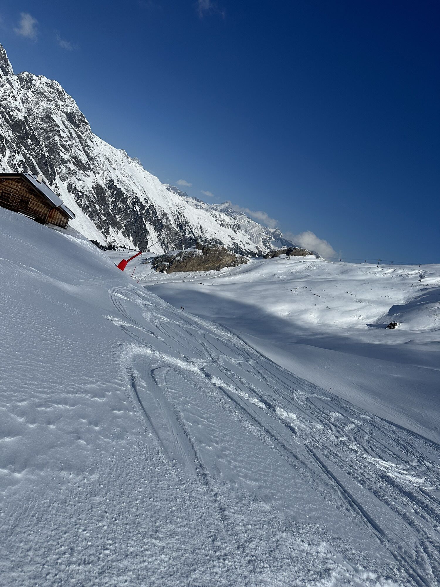
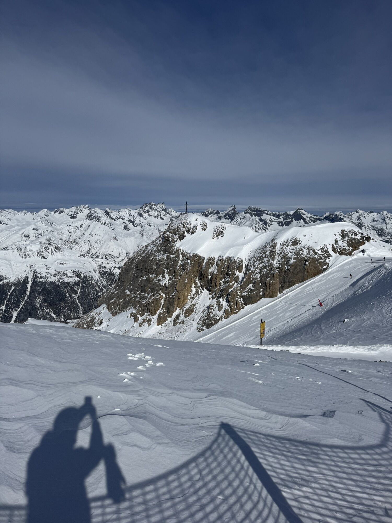
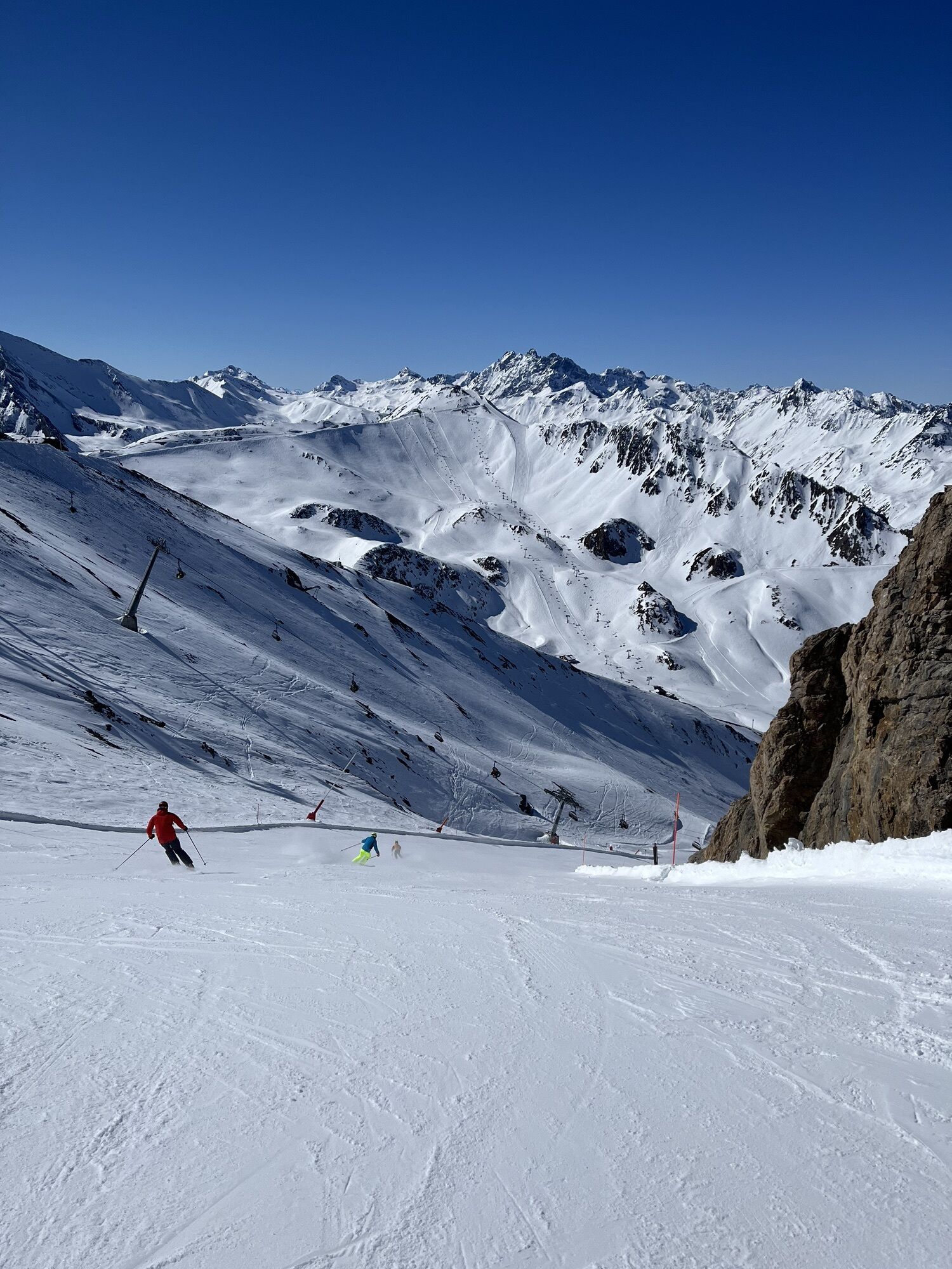
The route starts at the cable car station of the Flimsattelbahn and first leads along a forest road with a challenging climb up to the Greitspitze. Along the ridge towards Salaaser Kopf, bikers can enjoy a magnificent view. Then follows a short climb to the Zeblasjoch. Afterwards, you are rewarded with a flowing trail towards the Gampenalpe. The descent through the Fimbatal to the middle station combines varied singletrails with a breathtaking panorama. The Vesil-Trail is an absolute highlight for experienced (e-)mountain bikers seeking adrenaline.


Cable car station Flimsattelbahn – Greitspitz – Salaaser Kopf – Sebalsjoch – Gampenalpe – Fimbatal – Middle station Fimbabahn
Da
Helmet, gloves, good footwear, glasses, rain and sun protection, water bottle, repair kit, first aid kit
The route was rated under favorable weather conditions; the current weather and forecasts must be observed carefully before starting the route.
Emergency numbers:
144 Emergency, first aid
1414 Mountain rescue REGA
112 International emergency number
Please be considerate when crossing and overtaking hikers.
The mountain bike routes in the canton of Graubünden run mostly on singletrails that are also marked hiking paths. Hikers generally have the right of way.
From the north: via Landquart – Klosters by car shuttle through the Vereina tunnel (Selfranga - Sagliains) or via the Flüelapass into the Lower Engadin on H27, then turn left at Vinadi towards Samnaun
From the east: via Landeck / Austria towards Reschenpass on B180, from Kajetansbrücke towards Spiss – Samnaun on L348
From the south: via Reschenpass to Kajetansbrücke, from there towards Spiss – Samnaun on L348
With the Rhaetian Railway (from Chur, Landquart/Prättigau or from the Upper Engadin) hourly to Scuol-Tarasp station
Further by PostAuto to Samnaun-Ravaisch valley station of the mountain railways
In Samnaun daytime hourly service with the Samnaun bus
Free public parking at the valley station of the Samnaun mountain railways in Samnaun-Ravaisch
S3
Spletne kamere s turneje

Priljubljeni izleti v okolici
-
4.8
Heilbronner lodge
srednjaPohodništvo 13.0 km -
4.2
St Anton zur Darmstädter Hütte
težkoMountainbike 28.4 km -
5.0
Menta Alm - Scheibenalm
svetlobaPohodništvo 11.4 km -
3.2
Bielerhöhe and circular hike around the Silvretta reservoir
srednjaPohodništvo 13.1 km -
5.0
Rundwanderung Berglisee, Mathon
težkoPohodništvo 11.1 km -
4.5
Sonnenkogel - Friedrichshafener lodge
srednjaPohodništvo 13.2 km -
4.7
Jamtal lodge
srednjaPohodništvo 19.6 km -
4.7
St.Anton Verwalltal Heilbronner Hütte
težkoMountainbike 42.0 km -
5.0
Kappl, Diasbahn Bergstation, Niederelbehütte, Diasbahn, Österreich
srednjaPohodništvo 10.1 km -
5.0
Samnaun Dorf – Muttler
težkoPohodništvo 14.8 km
Pohodništvo in sledenje


Ne zamudite ponudb in navdiha za naslednje počitnice
Vaš e-poštni naslov je bil dodan na poštni seznam.





