


Round route Ftan
Stopnja težavnosti: S1
The circuit from Ftan is a real treat for mountain bikers. The ascent via Prui to Schlivera to Alp Clünas and Muot da l'Hom is challenging. It is rewarded with an impressive view over the Lower Engadin....
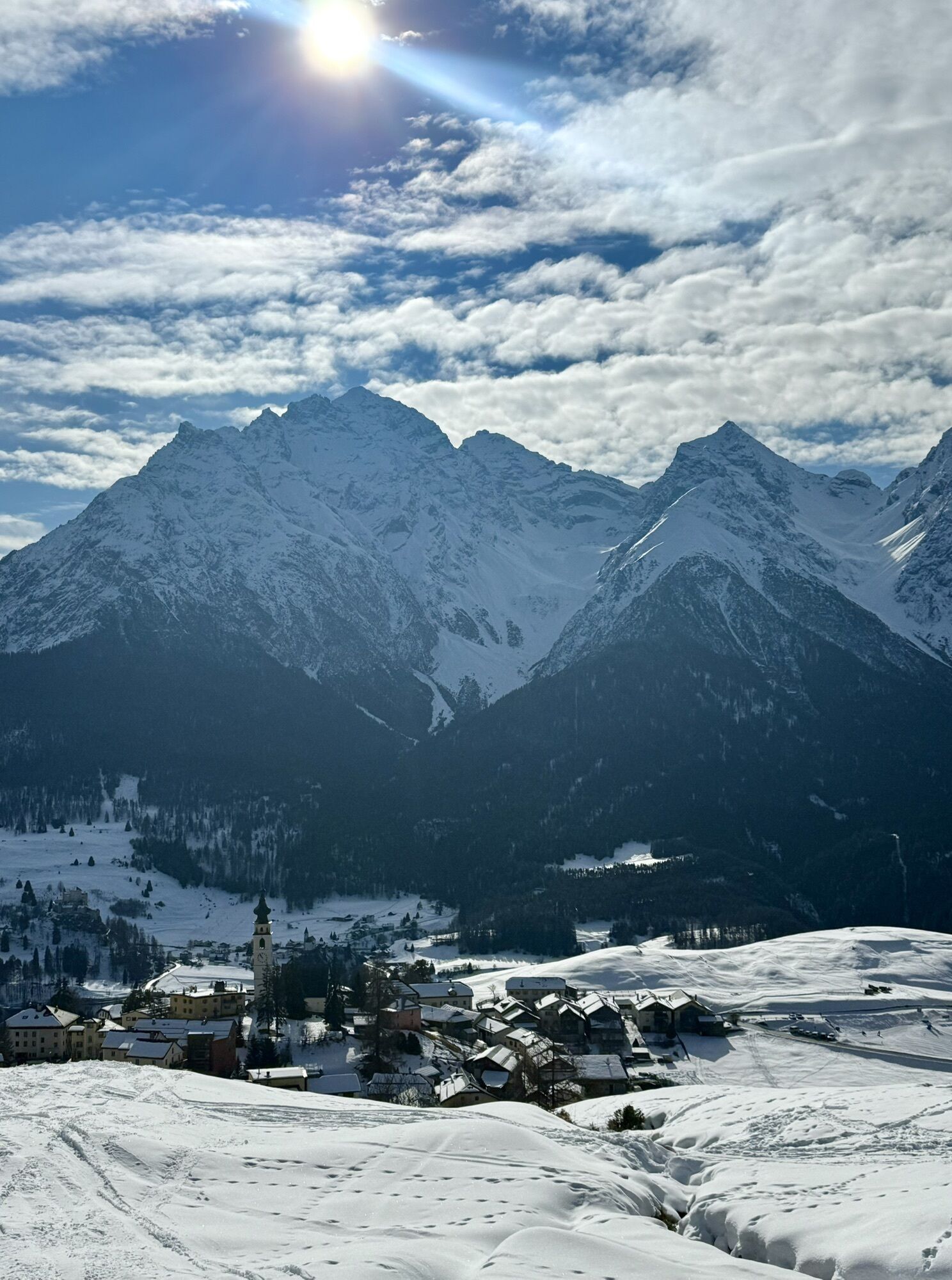
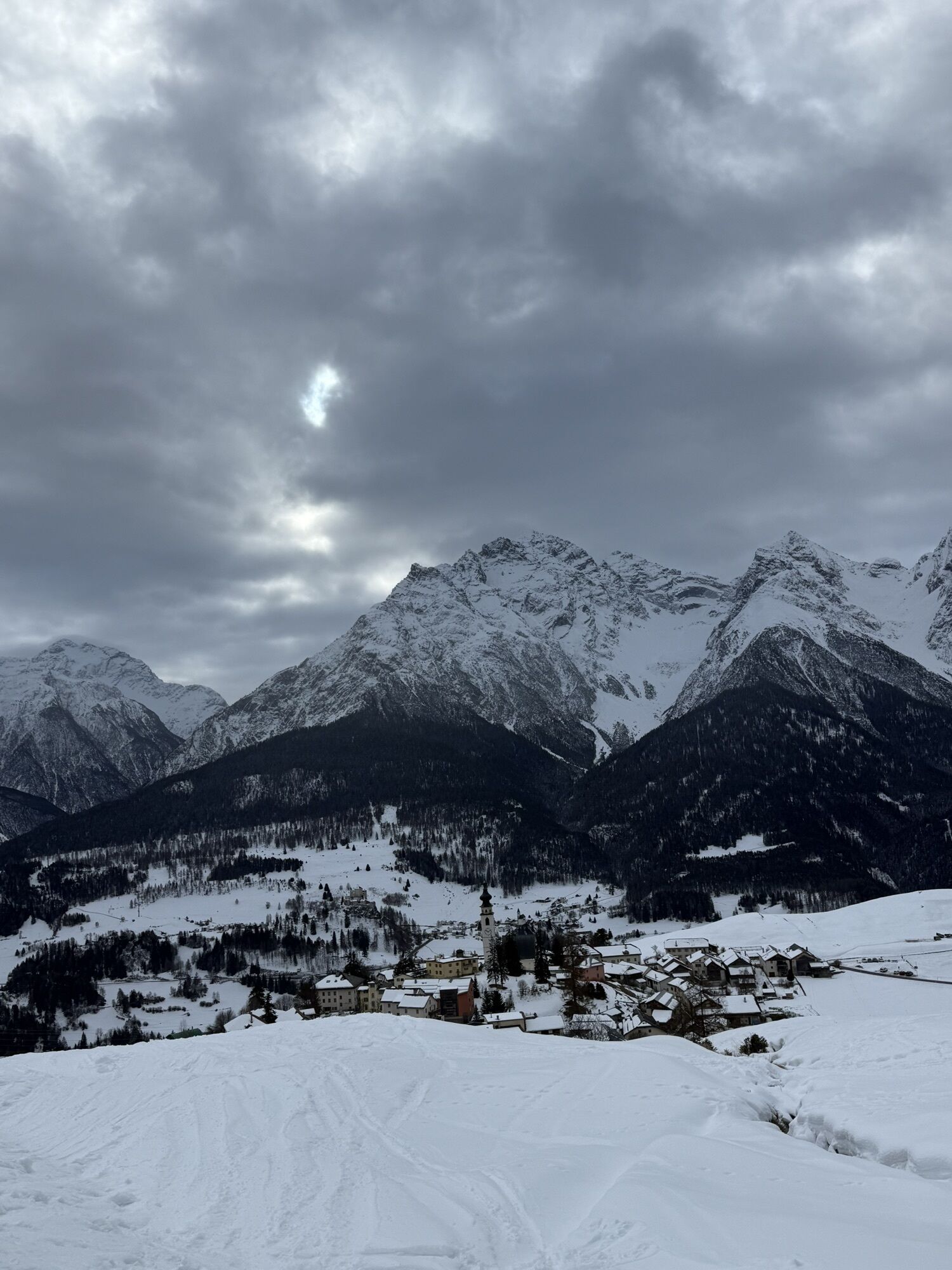
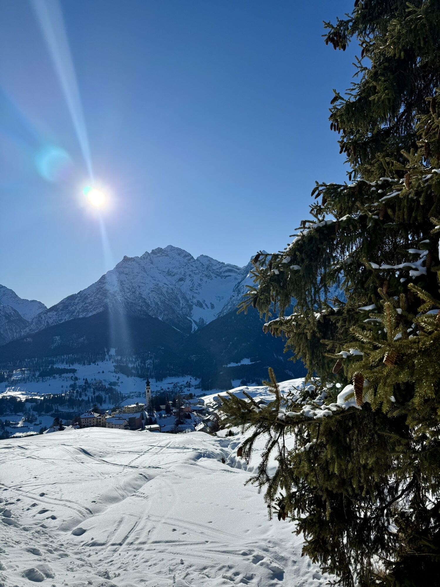
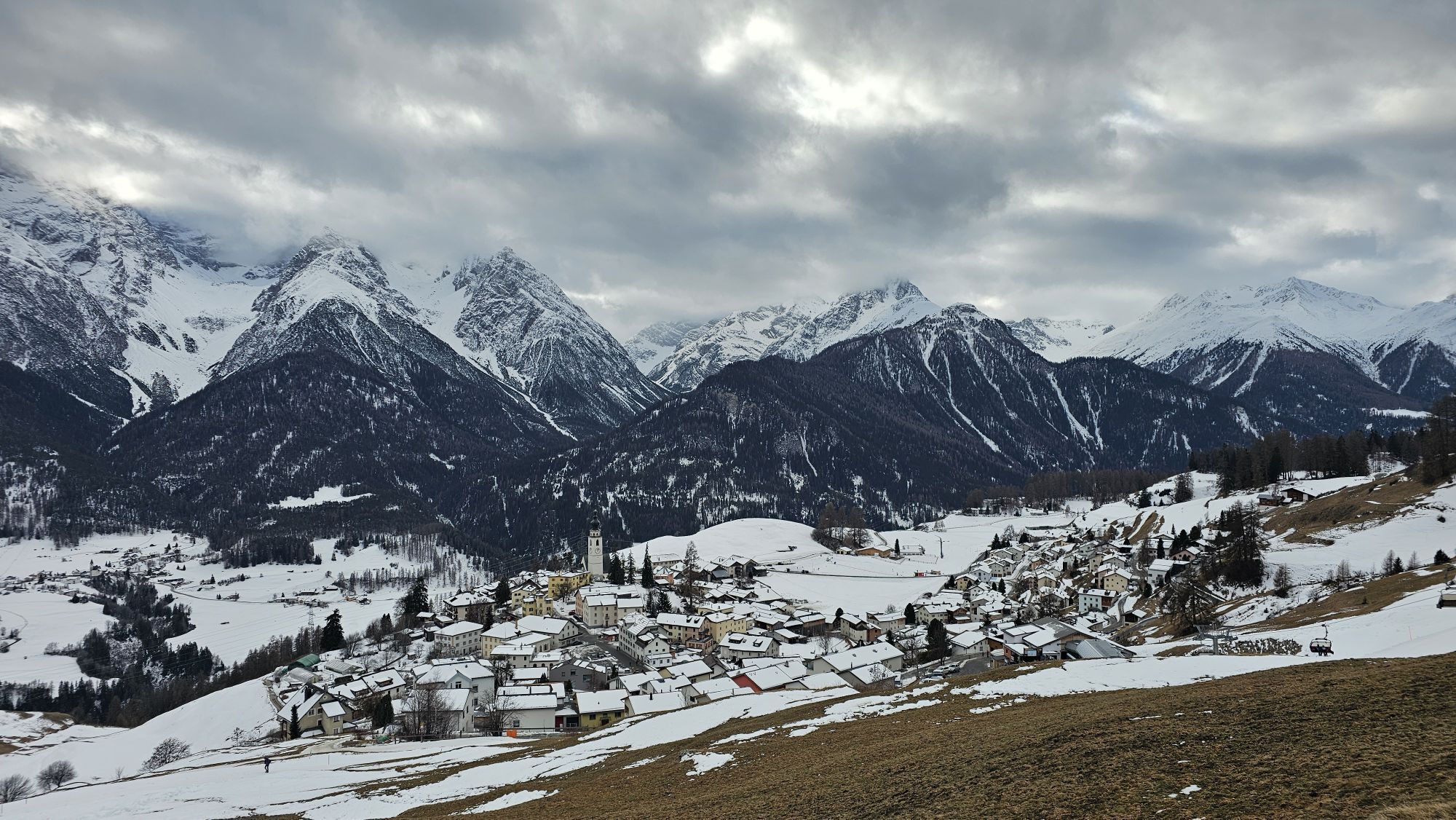
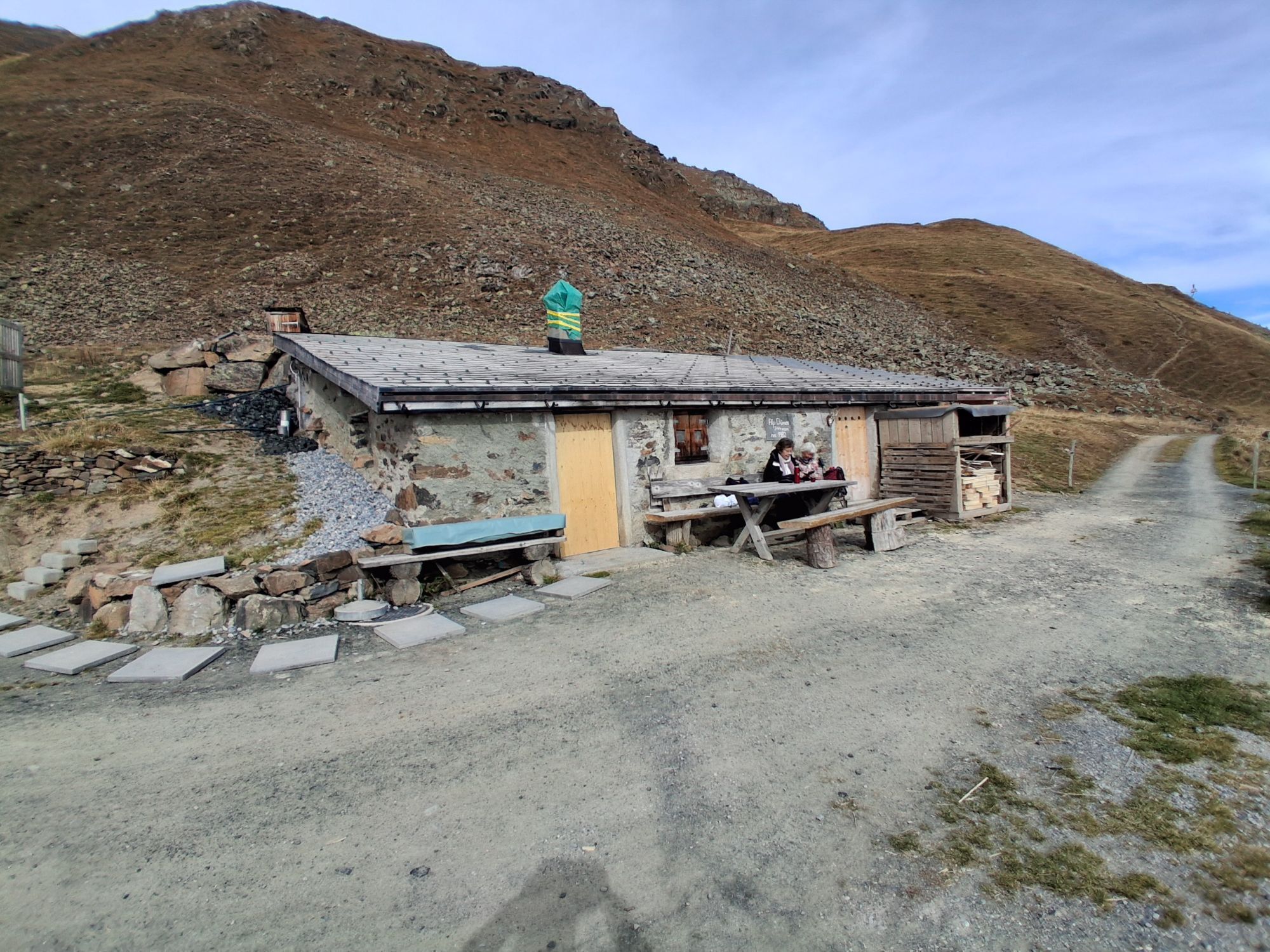
The circuit from Ftan is a real treat for mountain bikers. The ascent via Prui to Schlivera to Alp Clünas and Muot da l'Hom is challenging. It is rewarded with an impressive view over the Lower Engadin. At Muot da l'Hom the descent on singletrails starts to Alp Laret. After a well-deserved and recommended break at the served Alp Laret, the last descent on forest roads follows back to Ftan.

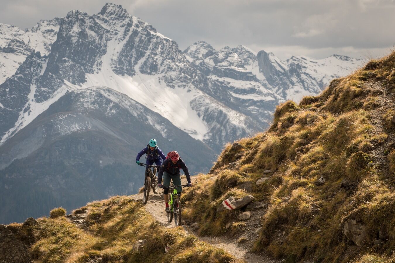
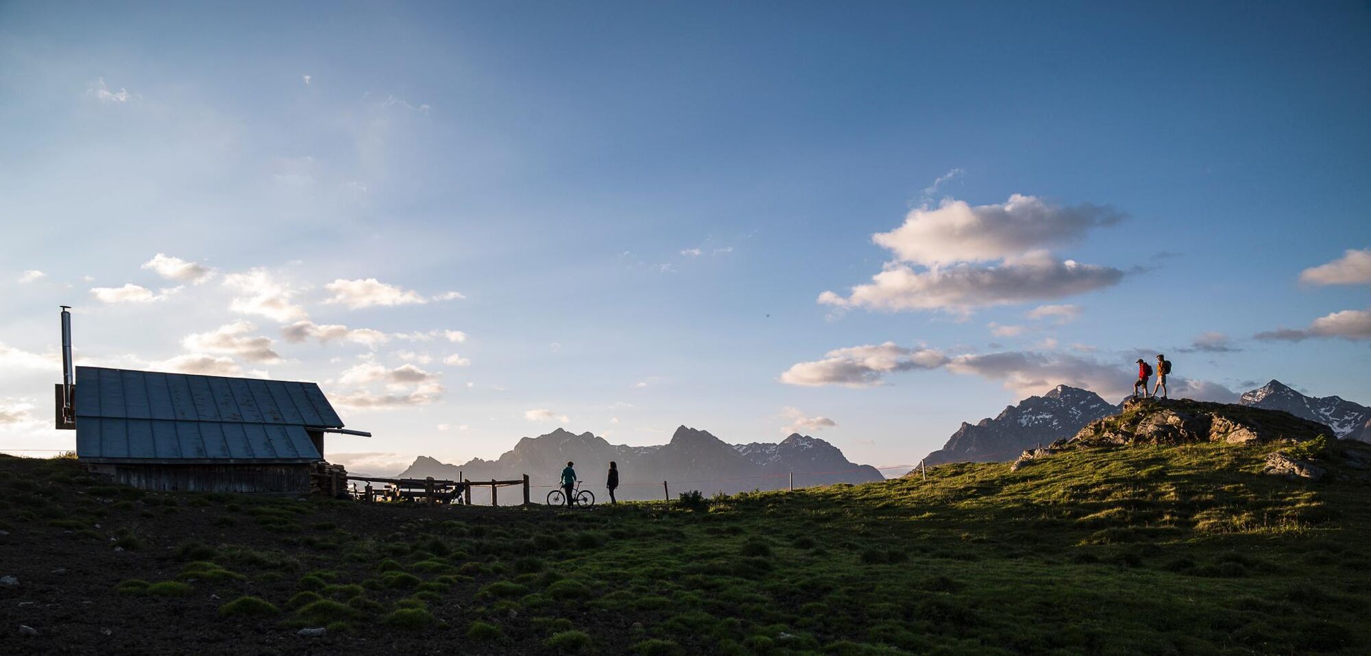
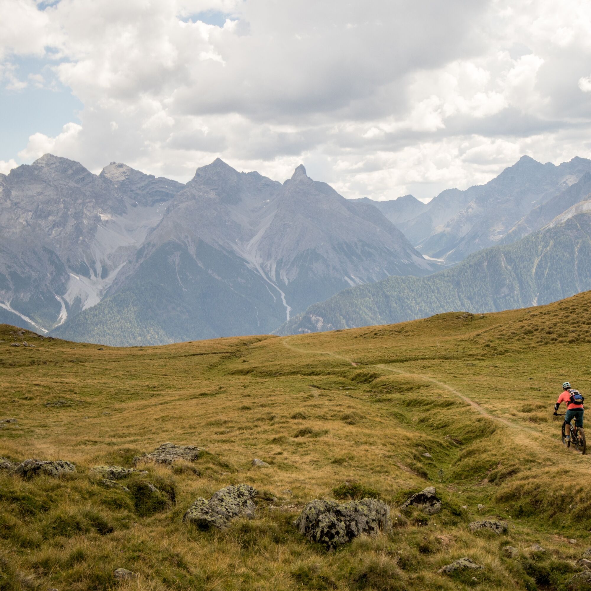
From Ftan, it goes in a northern direction on a wide forest road to below Prui to point 2006, where the path turns left into the forest and leads in a wide arc over the tree line. At Schlivera, the route turns left towards Alp Clünas, which is reached via a final more strenuous ascent. At Muot da l'Hom (2500 m), the highest point of the route is reached, followed by a challenging descent on singletrails to Alp Laret, which is served in mid-summer. From Alp Laret, it goes down relaxed on the wide forest road back to Ftan to the stage destination.
Helmet, gloves, good footwear, glasses, rain and sun protection, drinking bottle, repair kit, first aid kit.
The route was rated in favorable weather conditions; current weather conditions and forecasts must be strictly observed before starting the route. This route requires a high level of riding safety, balance and technical skills.
Emergency numbers:
144 emergency, first aid 1414 mountain rescue REGA 112 international emergency number
Please be considerate when crossing and overtaking hikers. The Graubünden mountain bike routes run largely on singletrails, which are also signposted as hiking trails. Hikers always have right of way.
From the north: via Landquart – Klosters by car train through the Vereina tunnel (Selfranga - Sagliains) or via Flüela Pass into Lower Engadin on H27
From the east: via Landeck / Austria towards St. Moritz on H27
From the south: via Reschen Pass (Nauders-Martina) or Ofen Pass (Val Müstair-Zernez) on H27
By Rhaetian Railway (from Chur, Landquart/Prättigau, Upper Engadin or from Scuol) hourly to Scuol/Tarasp station
Continue by bus to Ftan
Paid parking in Scuol or Ftan
S1
This route is part of a multi-stage route with uniform signage. All stage locations are accessible by public transport. More information at engadin.com
Priljubljeni izleti v okolici
-
4.8
Hiking trail Piz Buin - view
srednjaPohodništvo 14.4 km -
4.7
Jamtal lodge
srednjaPohodništvo 19.6 km -
5.0
Großer Piz Buin (3.312m), Normalweg 2019 über Ochsentaler Gletscher
težkoVisokogorska tura 24.1 km -
4.8
National park: Zernez – Munt Baselgia – Macun lakes – Alp Zeznina – Lavin
težkoPohodništvo 22.9 km -
2.0
Bielerhöhe - Vermuntkopf - Bielerhöhe
srednjaPohodništvo 17 km -
4.5
Tarasp Fontana – Sparsels – Lai Nair (circular route)
svetlobaPohodništvo 7.67 km -
Ascent of Hohes Rad and stop at the Wiesbadener Hut
težkoPohodništvo 15.8 km -
4.6
Gaschurn, Wiesbadner Hütte
Mountainbike 6.82 km -
5.0
San Jon – Chamonna Lischana (return)
srednjaPohodništvo 12.0 km -
4.0
Prui – Piz Clünas – Alp Laret – Ftan
srednjaPohodništvo 13.6 km

Pohodništvo in sledenje


Ne zamudite ponudb in navdiha za naslednje počitnice
Vaš e-poštni naslov je bil dodan na poštni seznam.