







Piz Clünas "Sunrise"
Stopnja težavnosti: S3
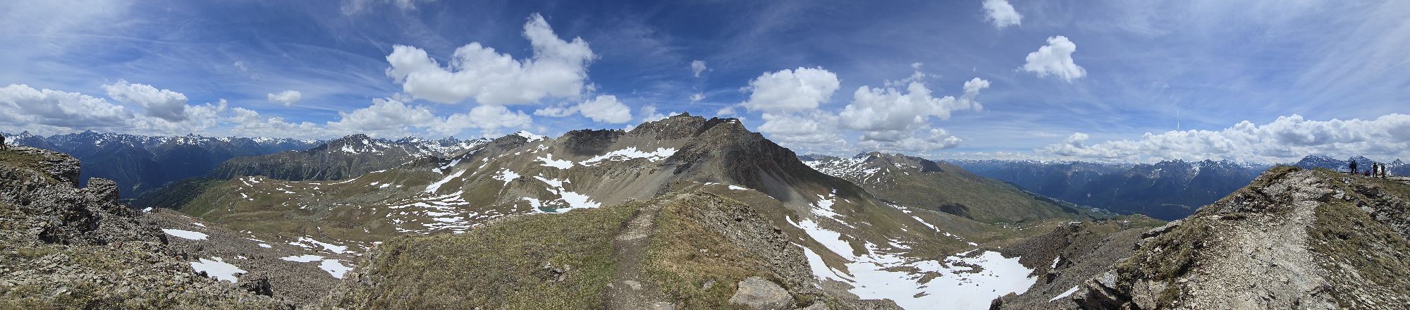
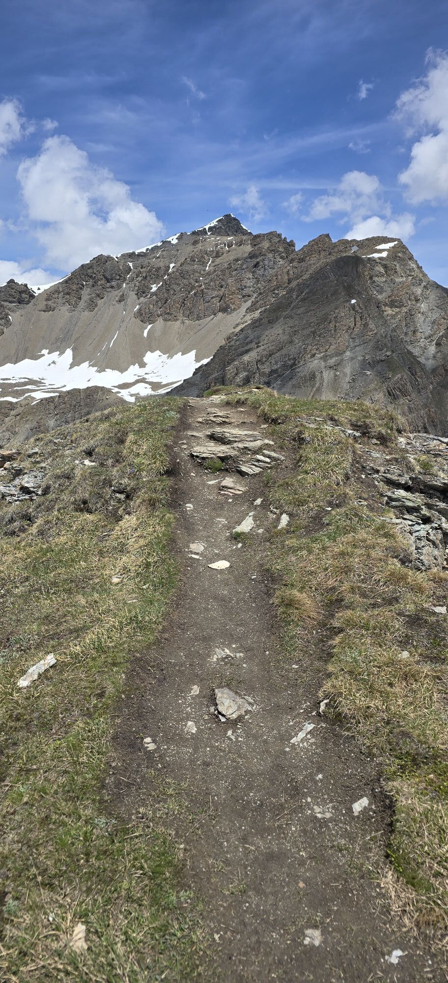
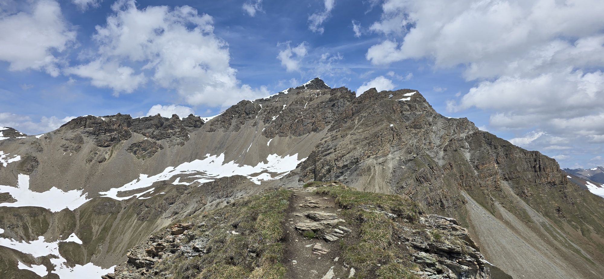
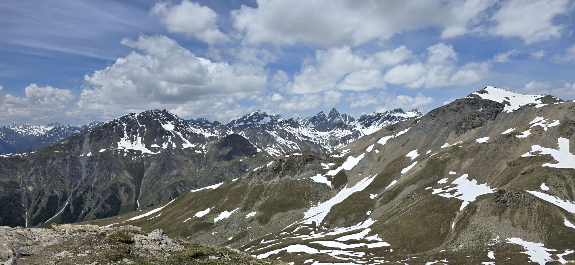
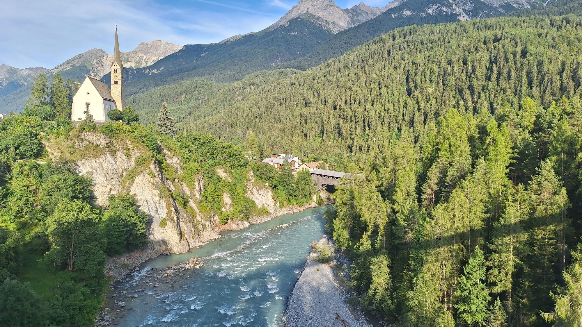
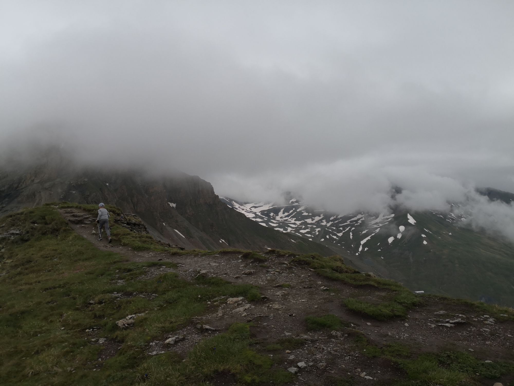
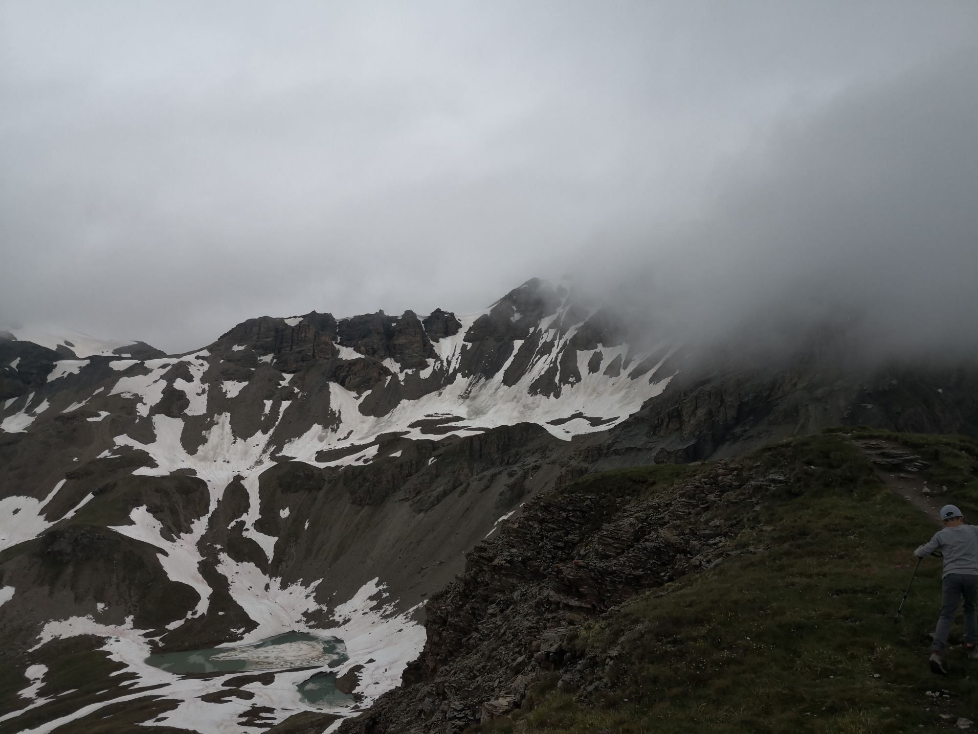
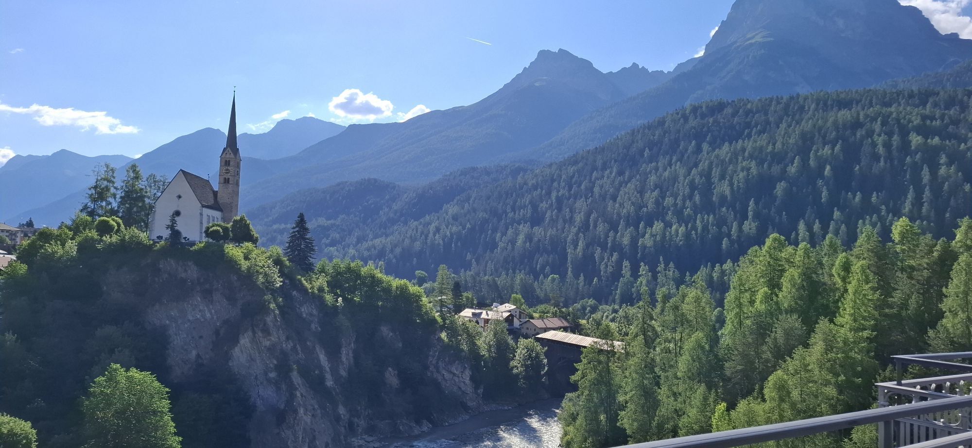
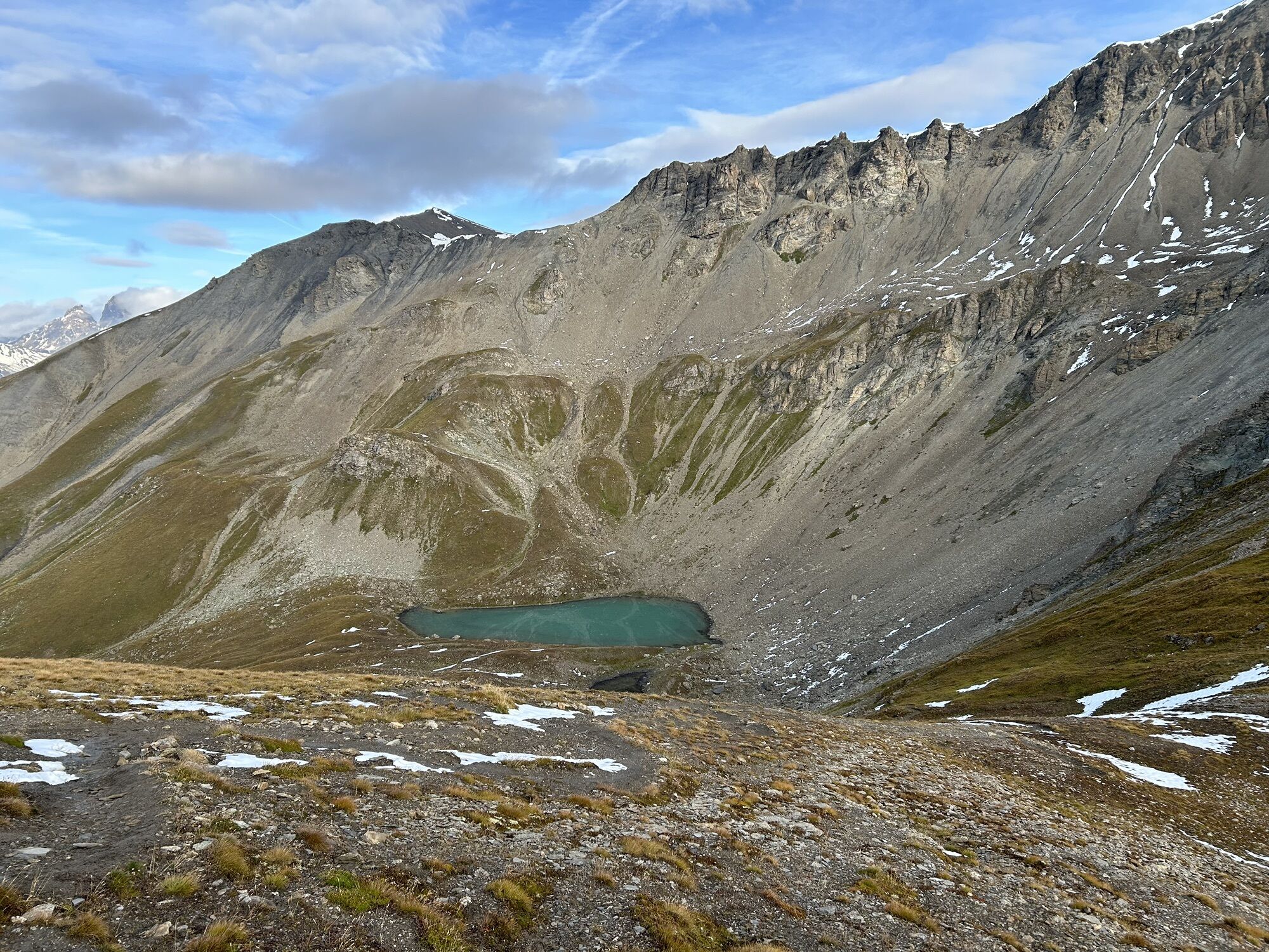
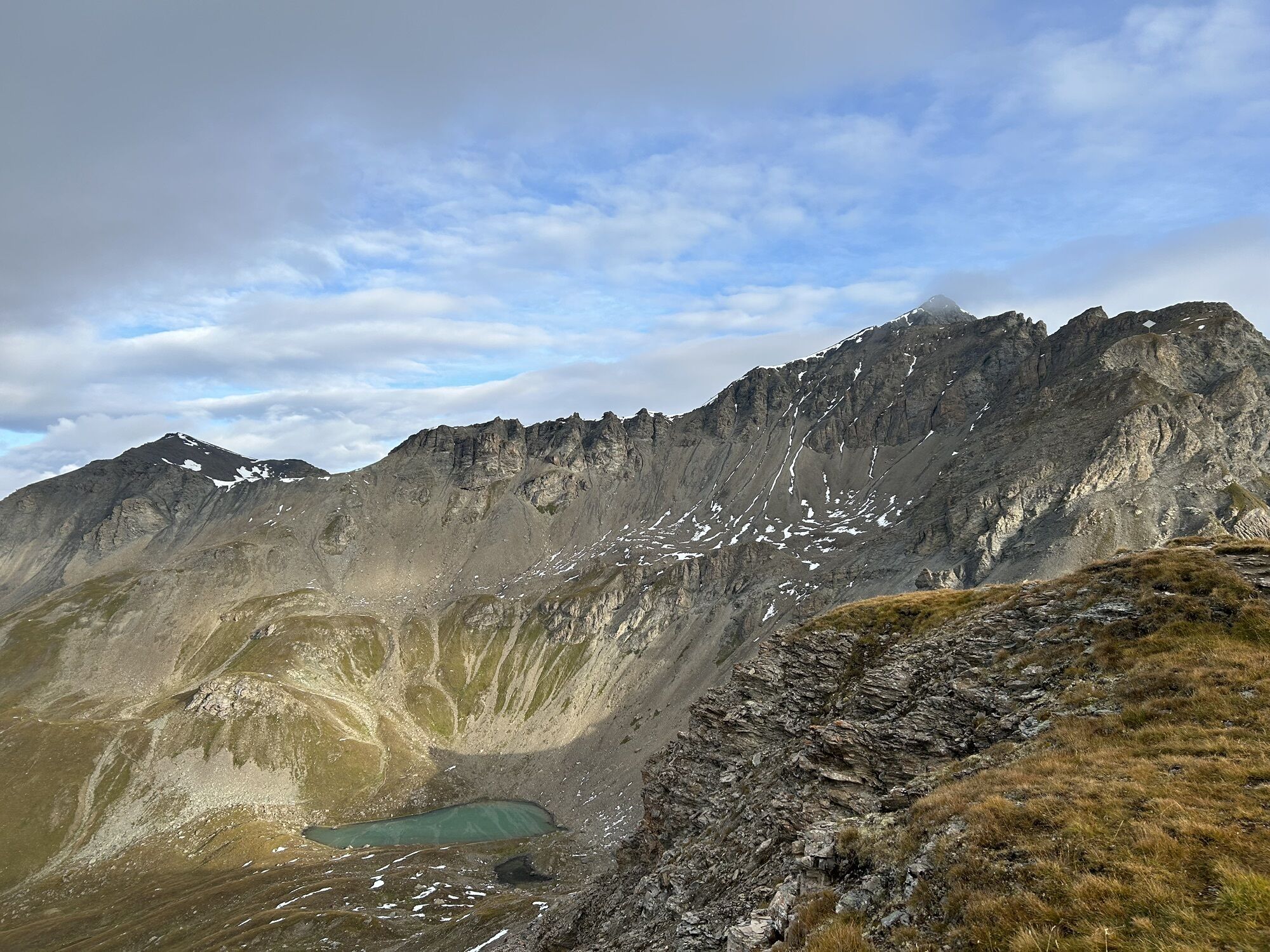
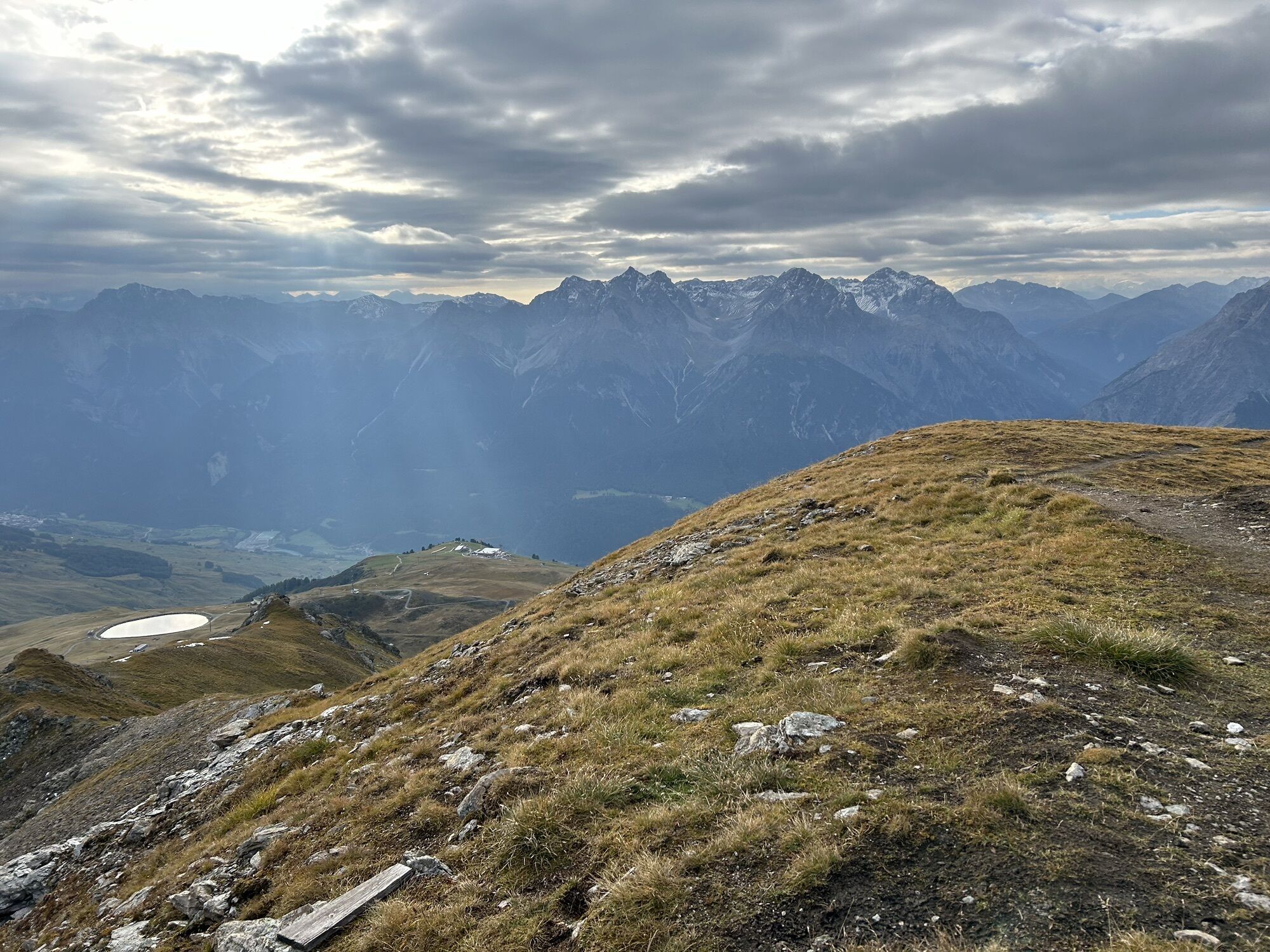
Leisurely with the Scuol mountain railways up to Motta Naluns (2150 m) and then muscle-powered uphill to the Chamonna Schlivera opposite the reservoir lake. From there, a trail runs along the left side...
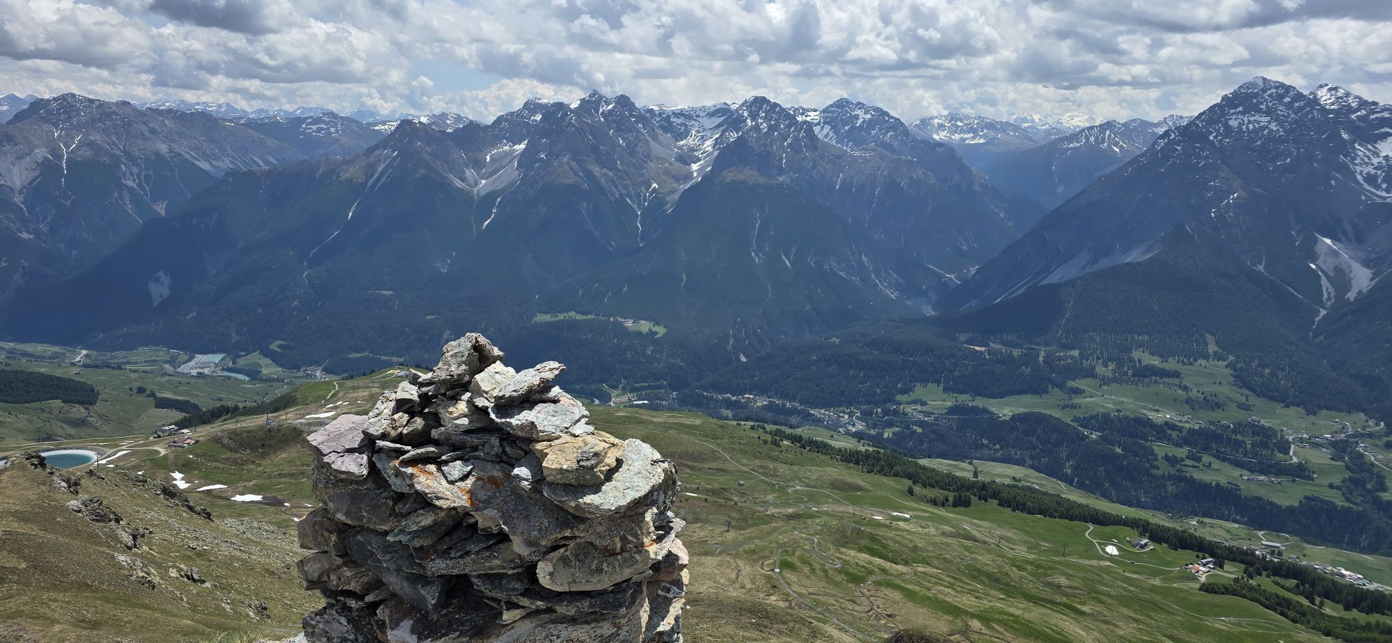
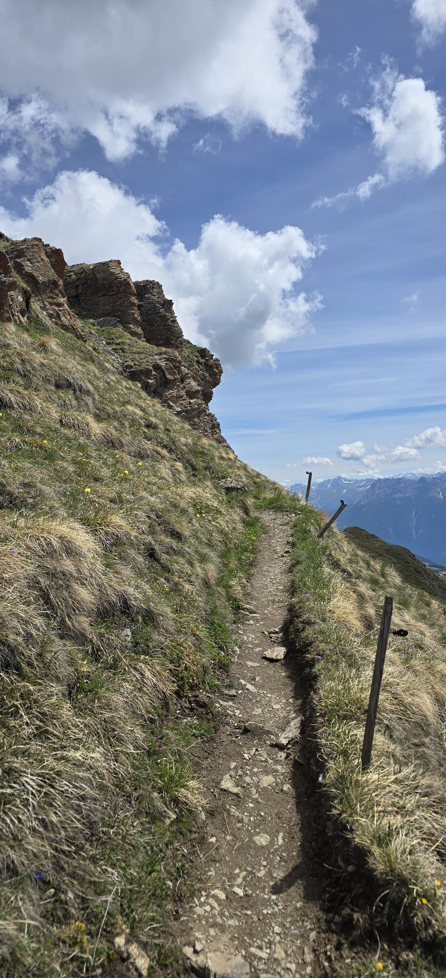
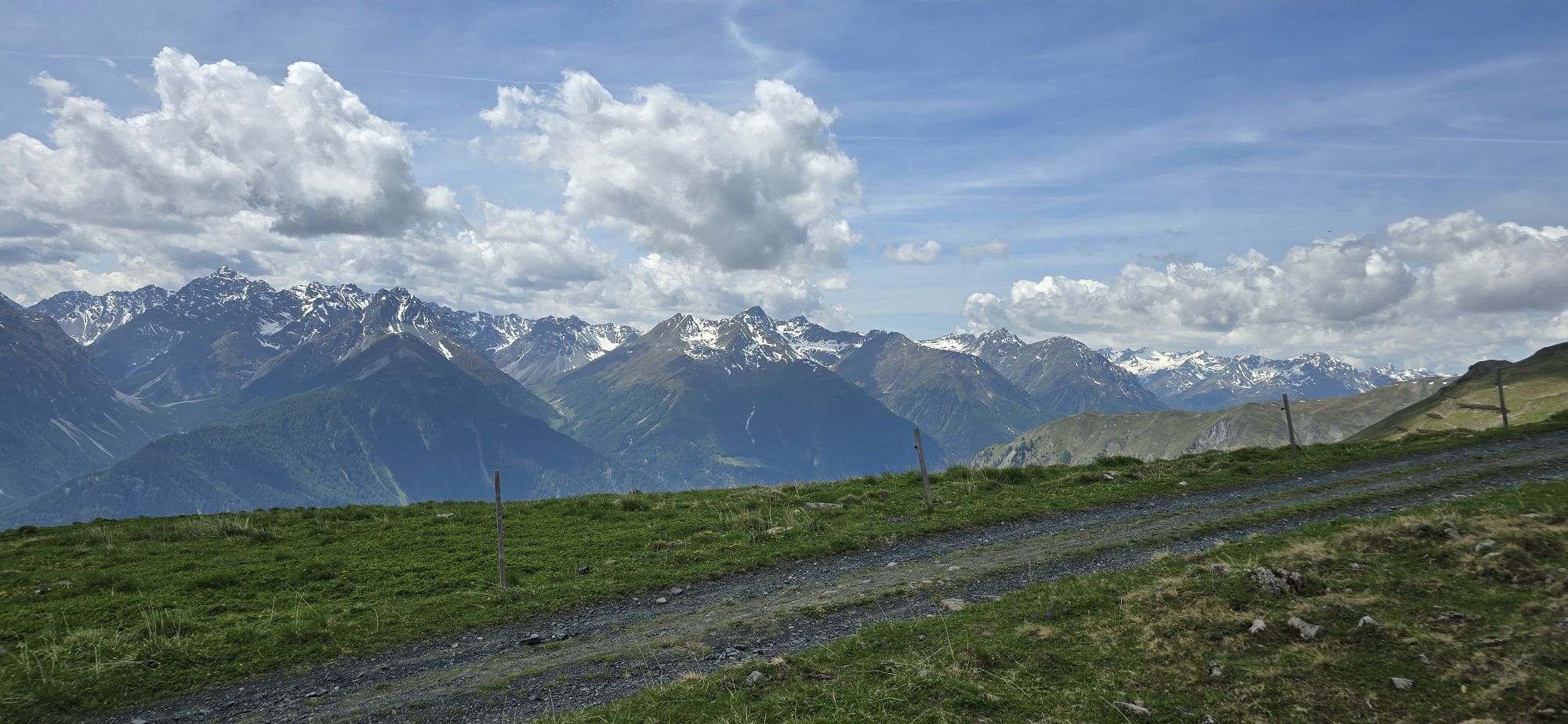
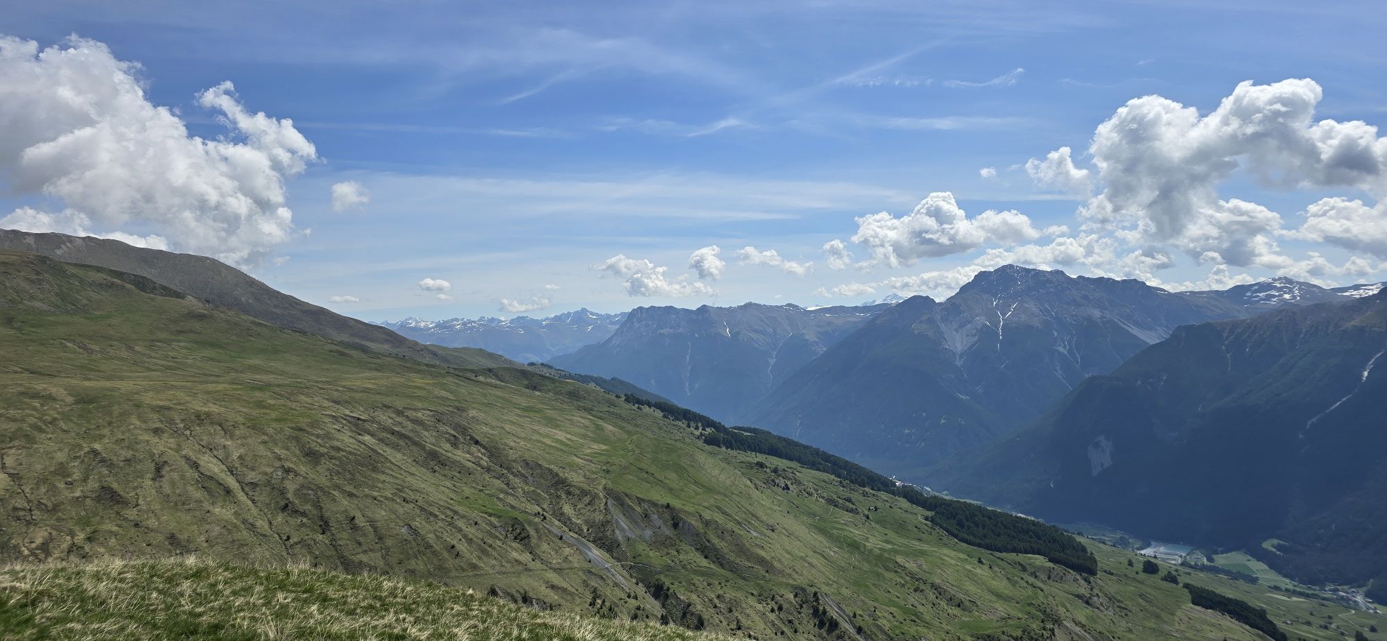
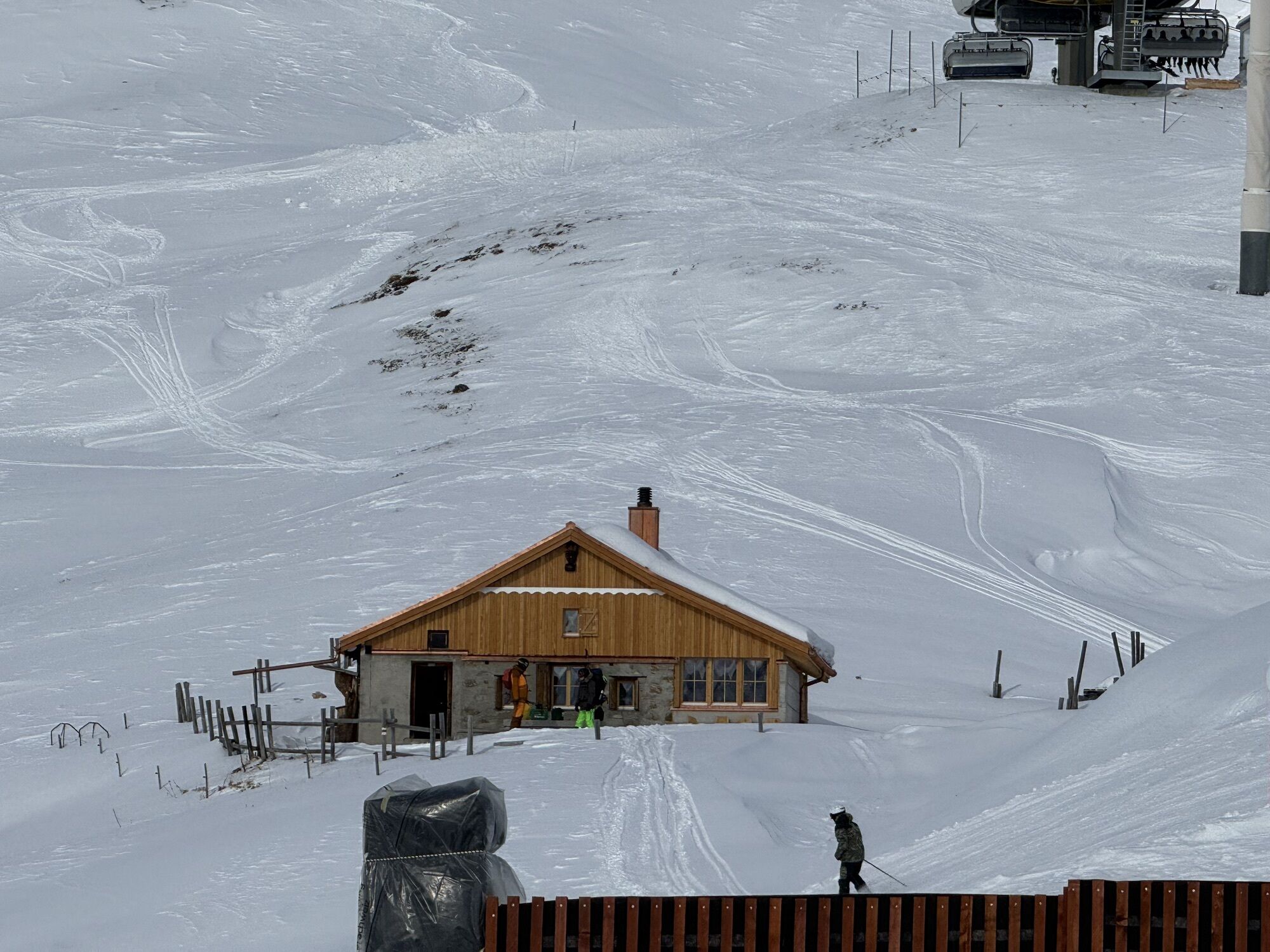
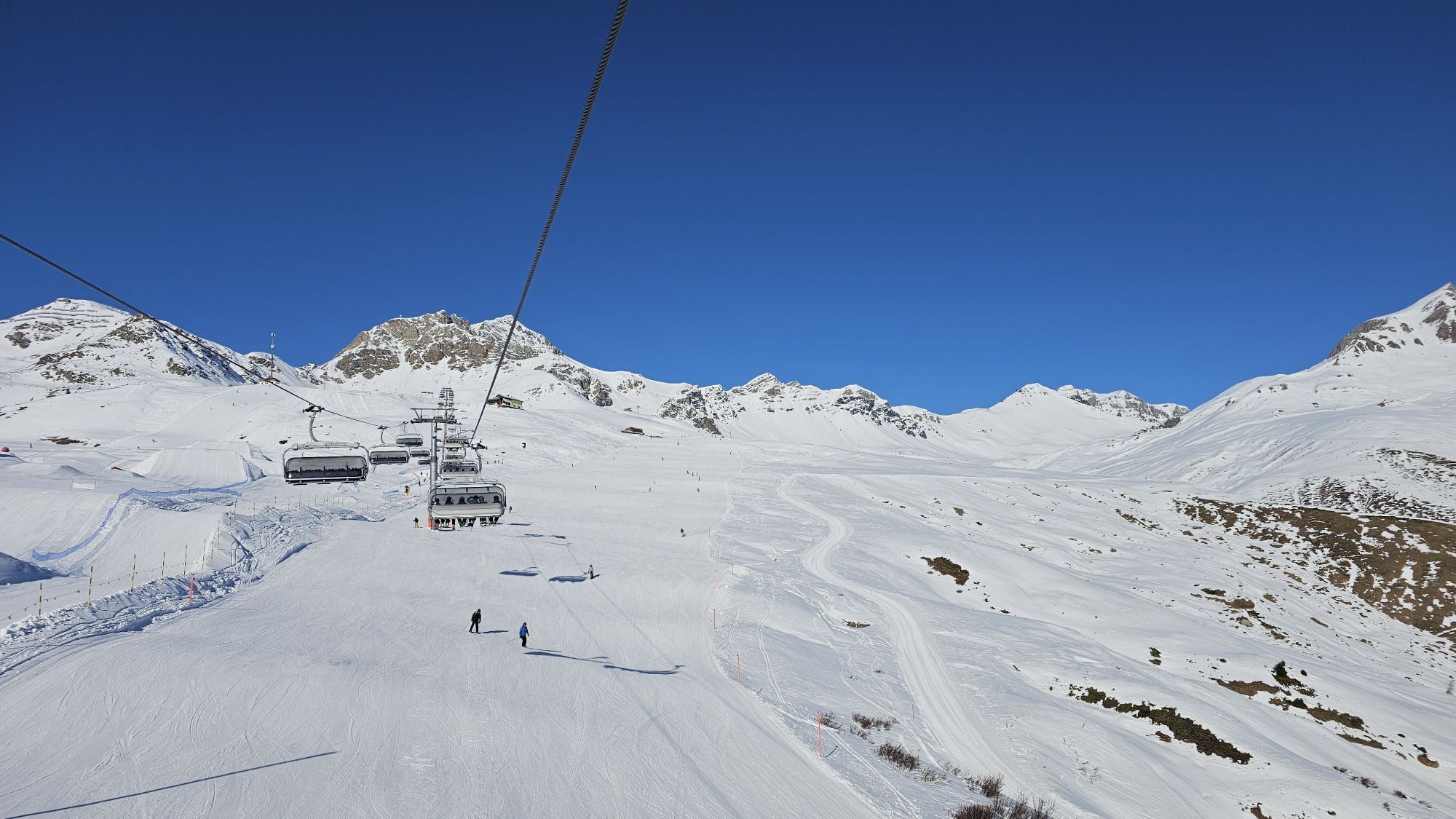
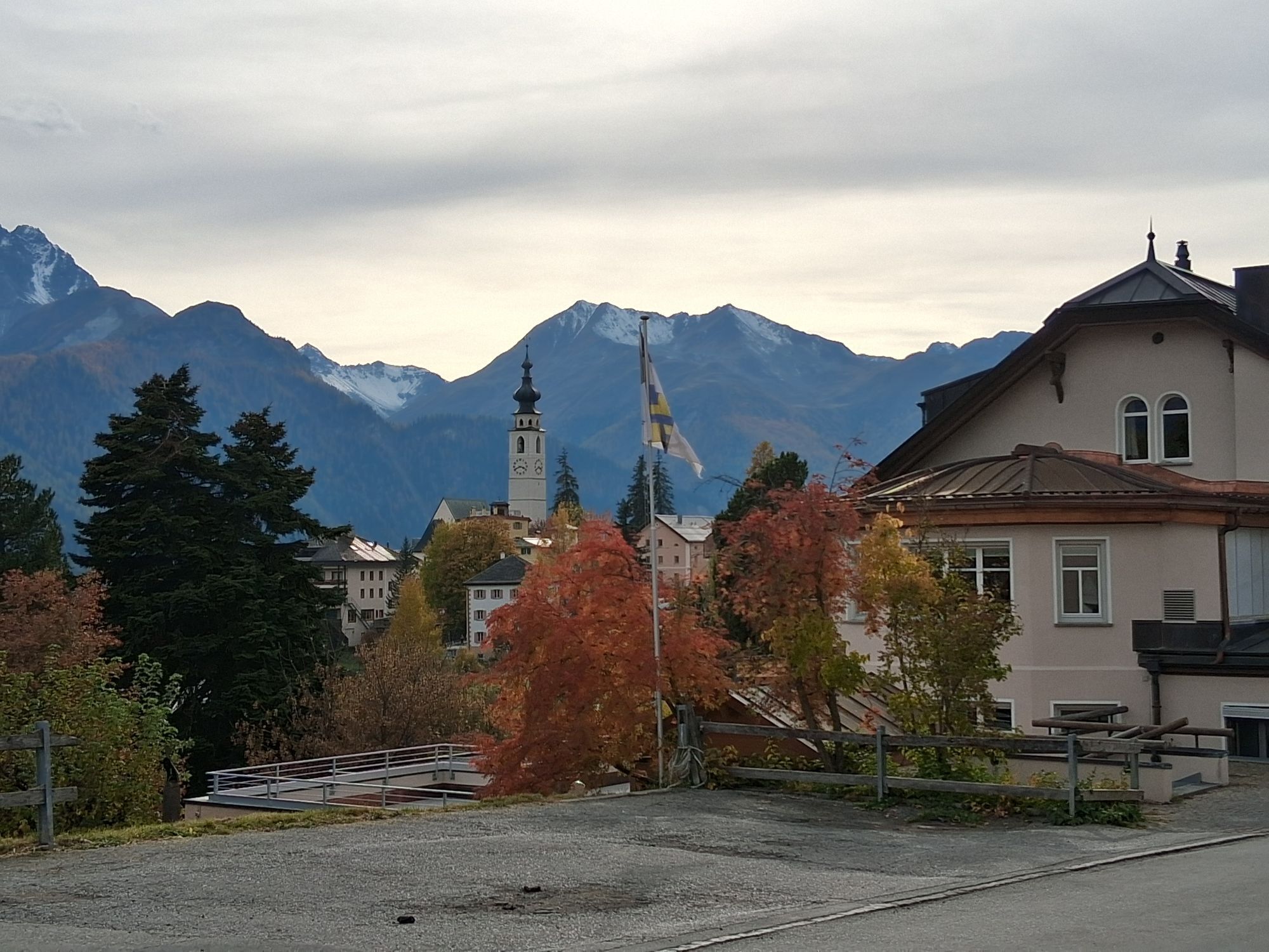
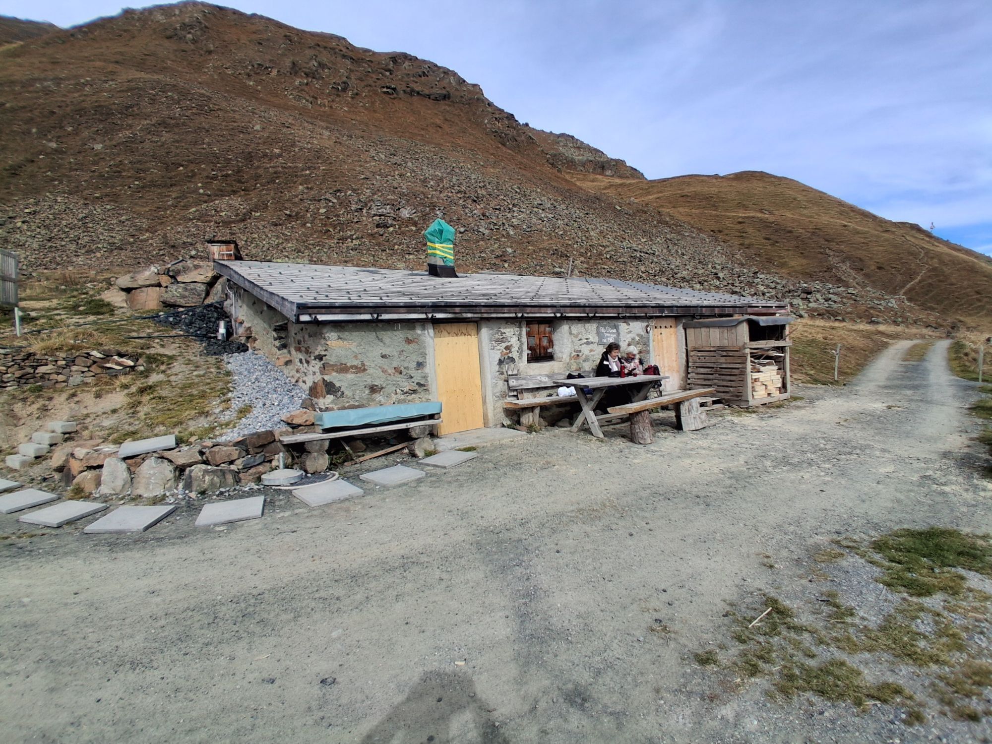
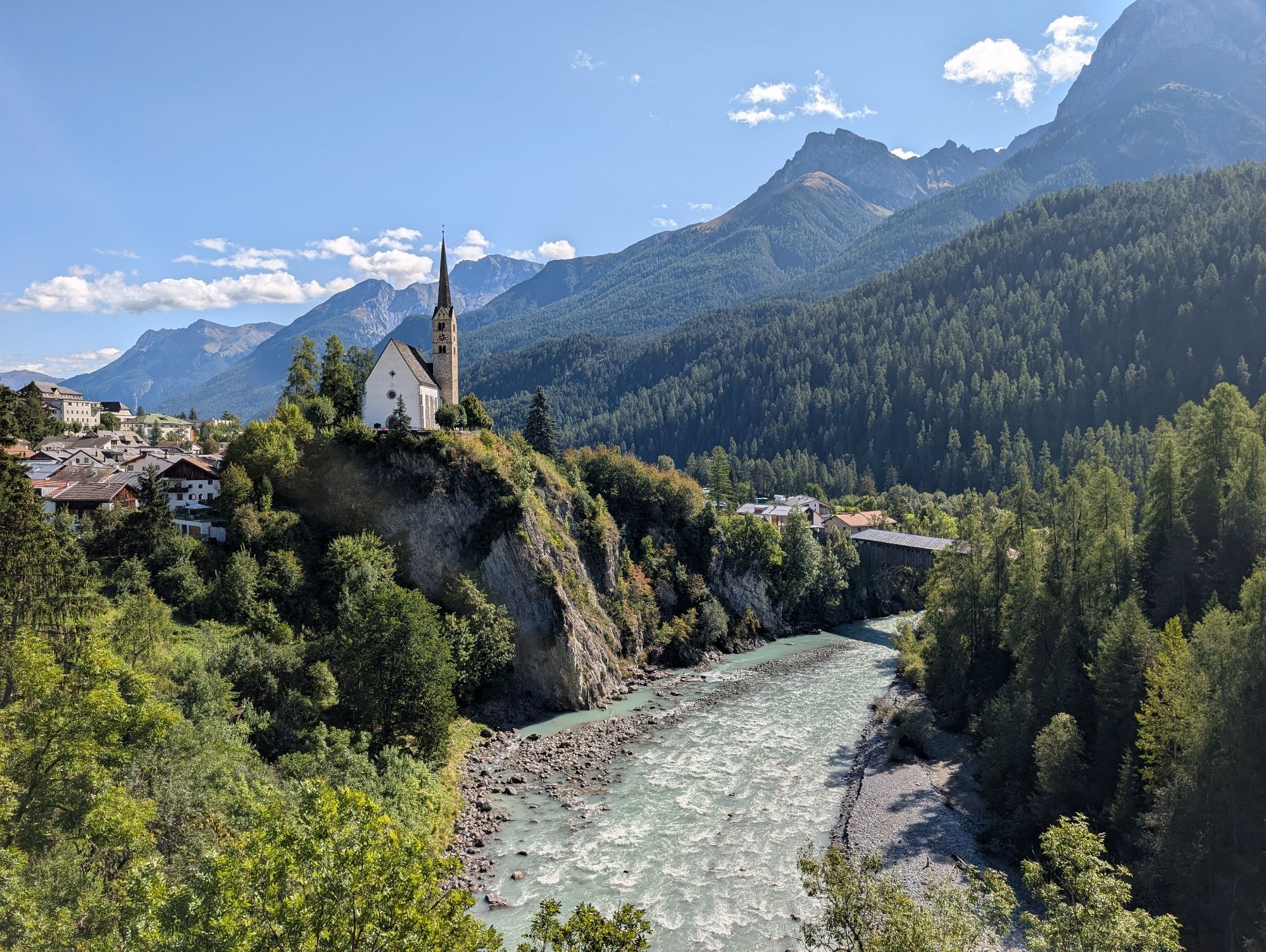
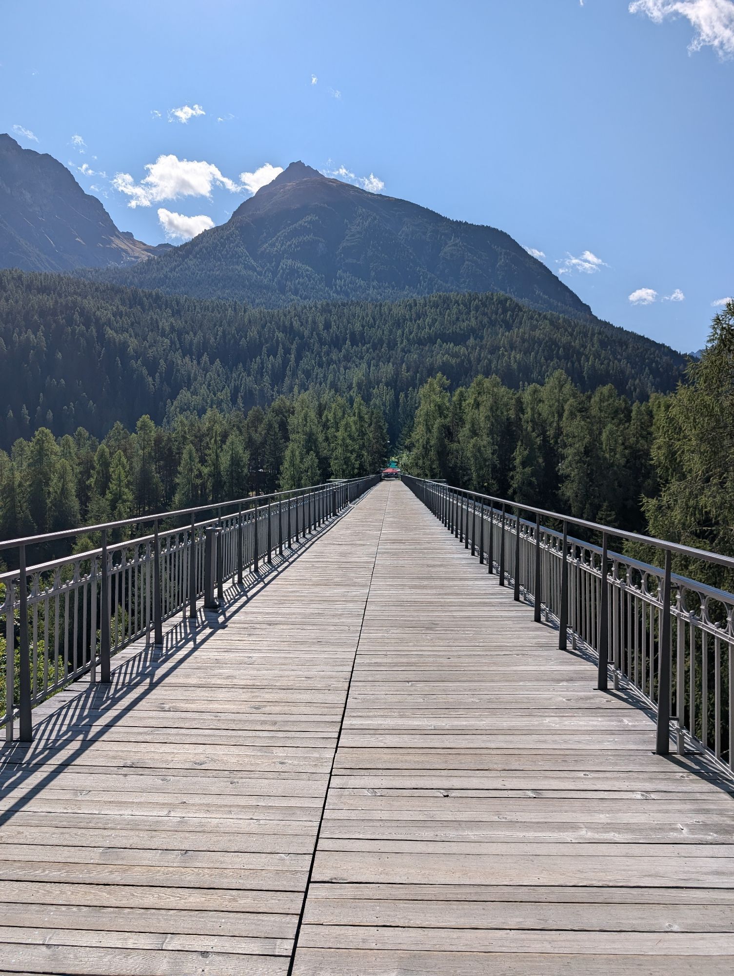
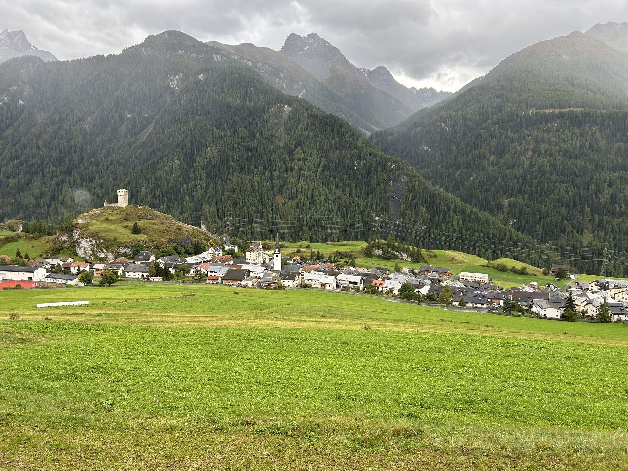
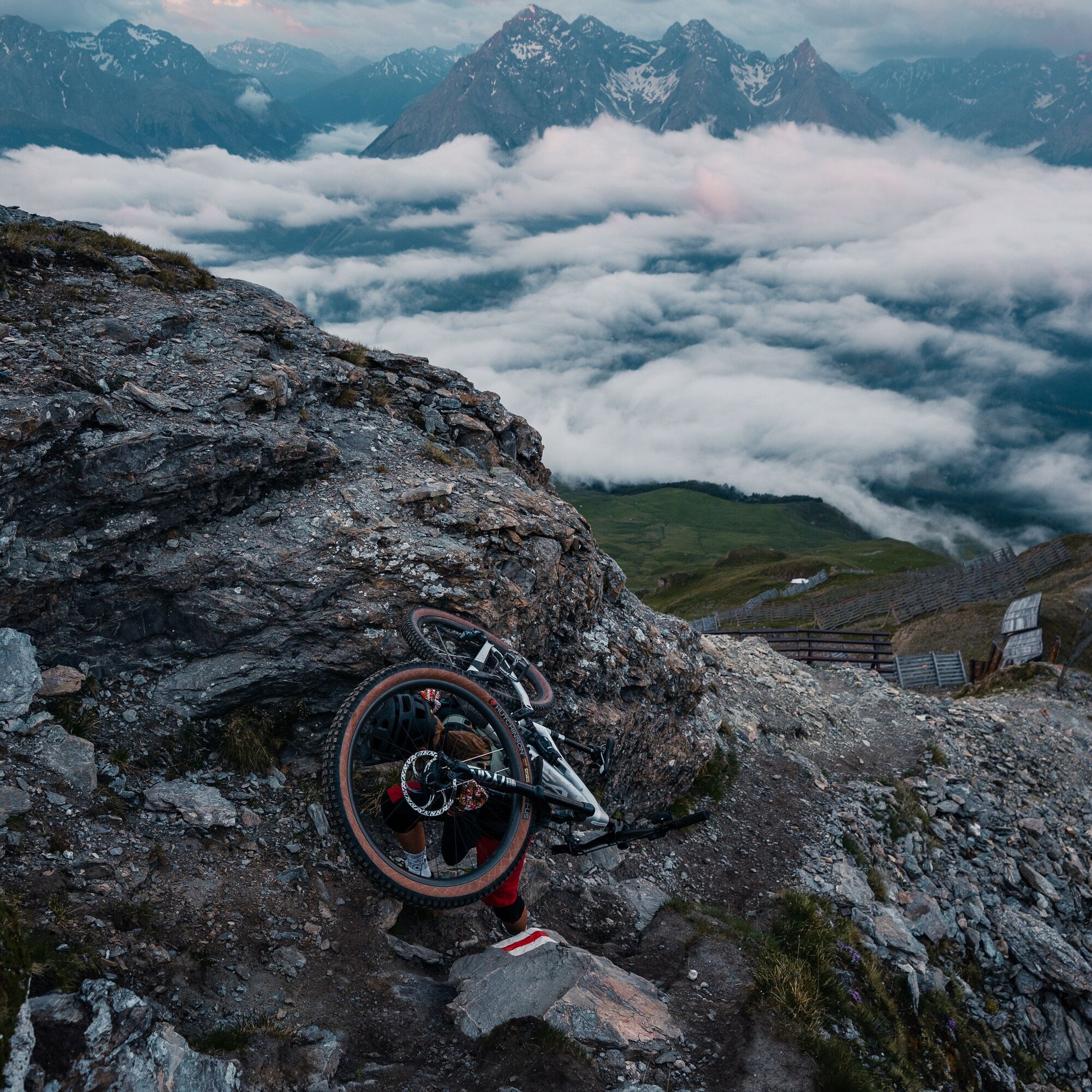
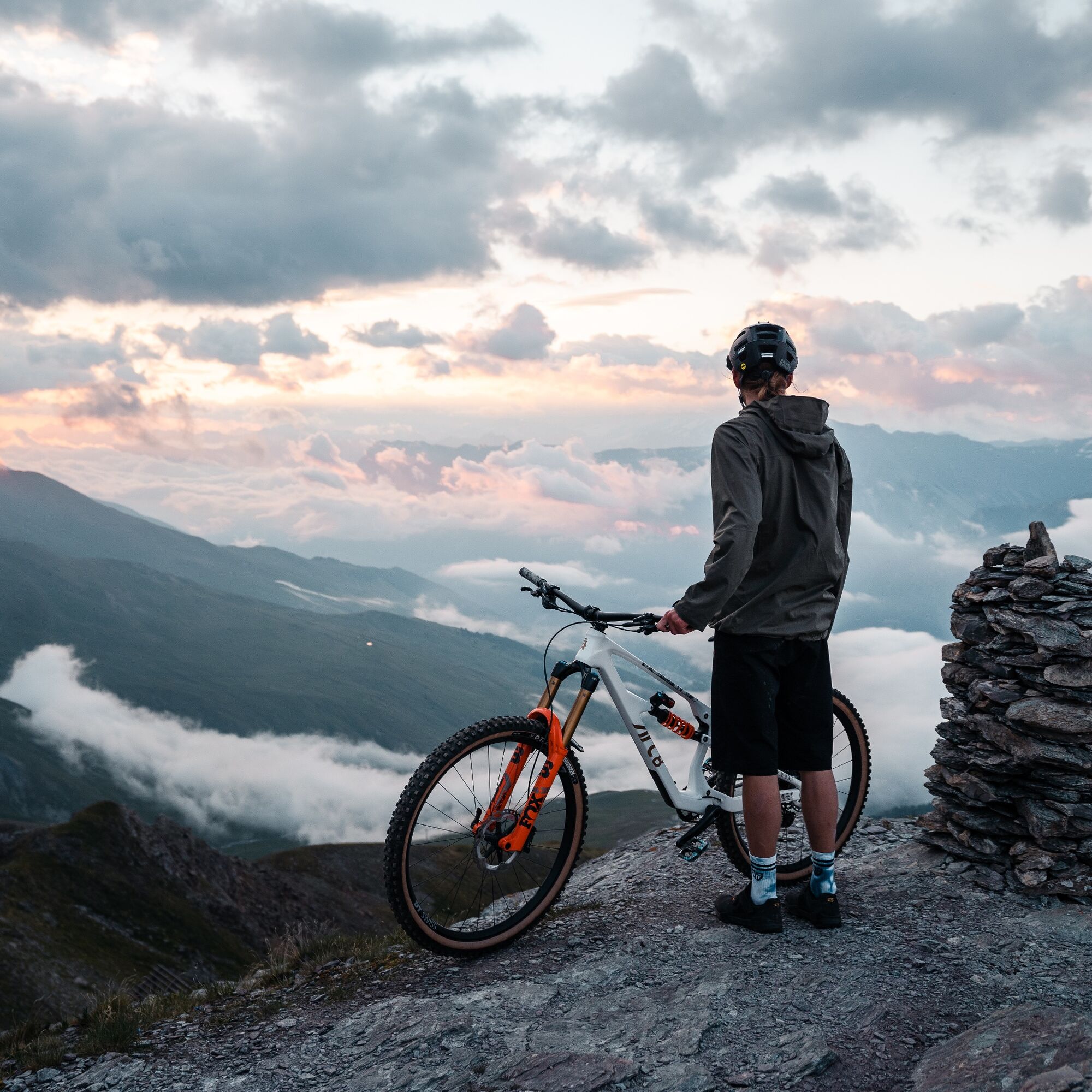
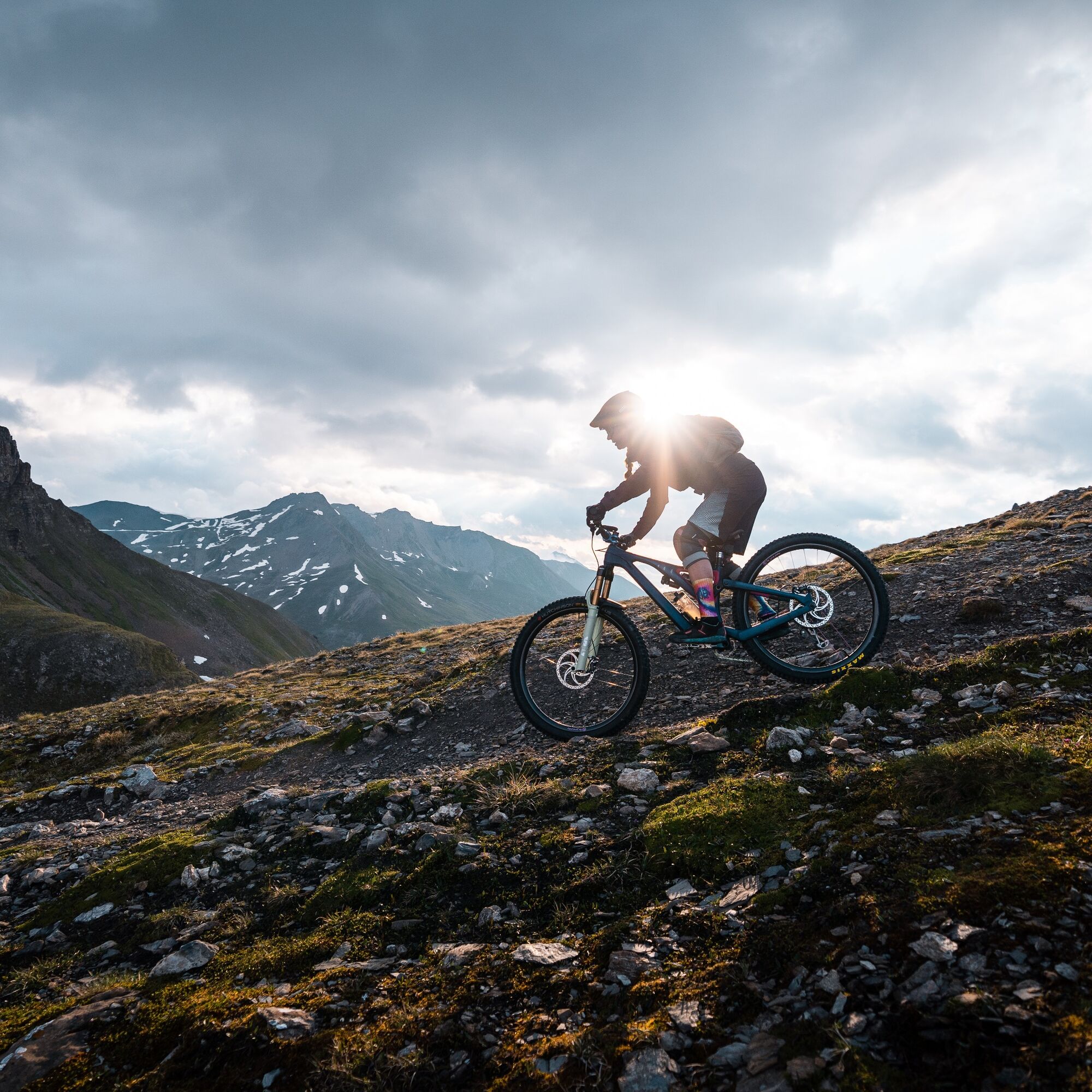
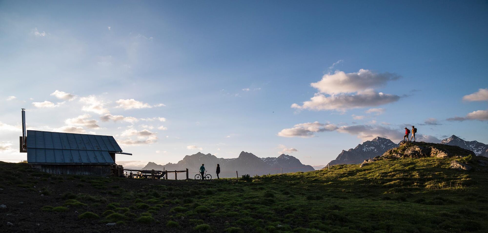
Leisurely with the Scuol mountain railways up to Motta Naluns (2150 m) and then muscle-powered uphill to the Chamonna Schlivera opposite the reservoir lake. From there, a trail runs along the left side of the mountain flank to Alp Clüñas. After about 400 m, the path leads steeply up over the Munt dal Piz to Piz Clüñas (2792 m). Here carrying/pushing is required. But once you reach the top, the view makes you forget all the effort. Now comes the fun part – the descent on the alpine trail towards Muot da l'Hom. Once there, it continues on a flowing trail to Alp Laret. This is ideal for a break with homemade Kaiserschmarrn or something similar during its operating times (alpine summer grazing). Those who have already satisfied their trail hunger here can follow the path to Ftan/Scuol. Otherwise, there is still something to discover in the opposite direction: the Val Tasna. The path leads via Alp Valmala through the wild valley, over the wild stream "Tasnan" back to Ftan/Scuol.

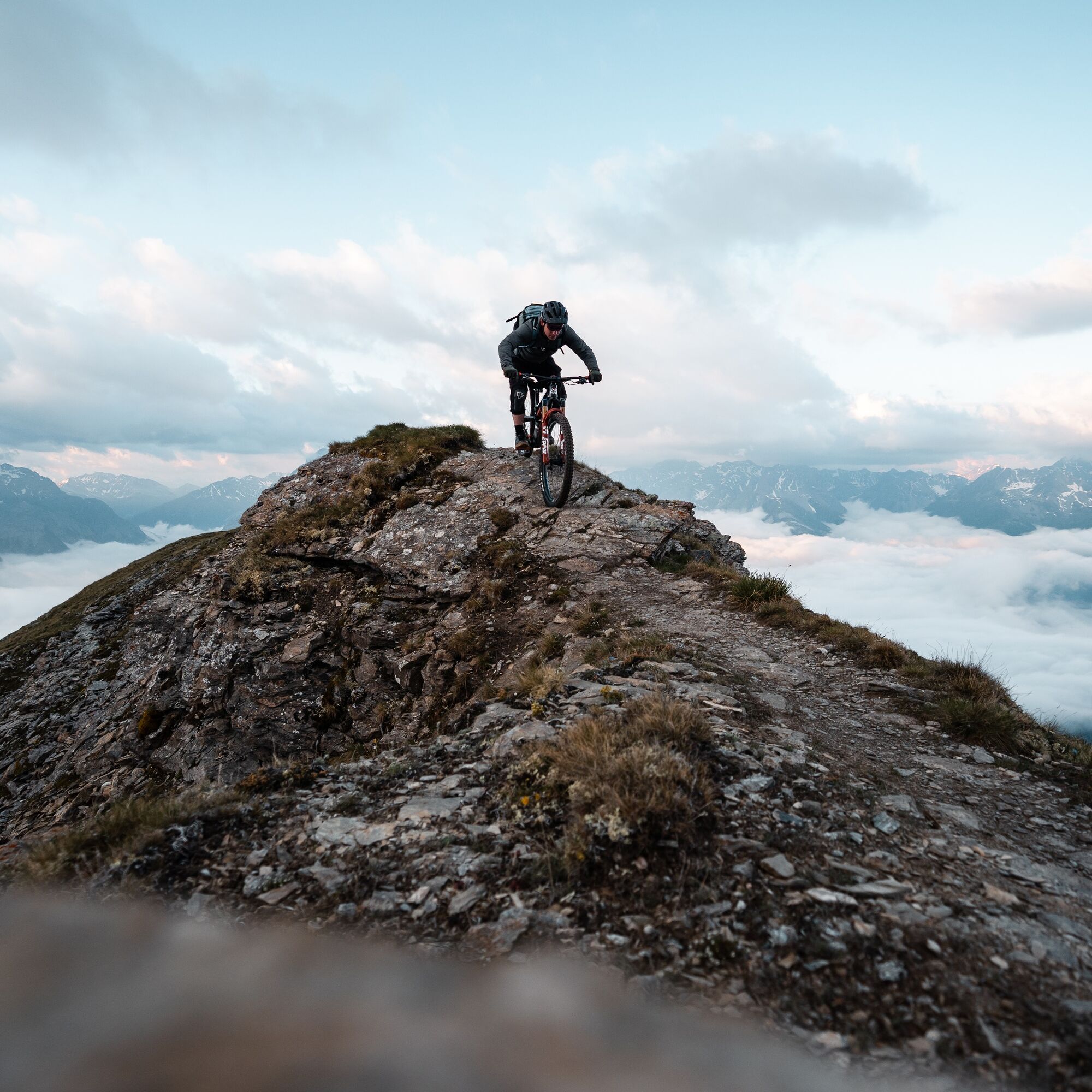

Scuol mountain railways – Schlivera – Alp Clüñas – Piz Clüñas – Muot d l'Hom – Alp Laret – Alp Valmala – Val Tasna – Ftan – Scuol
Da
Emergency numbers:
144 Emergency call, first aid 1414 Mountain rescue REGA 112 International emergency callPlease show consideration when crossing and overtaking hikers. The Graubünden mountain bike routes run largely on single trails, which are also signposted as hiking trails. Hikers generally have the right of way.
Scuol lies directly on the Engadin road H27 (20 minutes drive from Vereina south portal)
Hourly by the Rhaetian Railway (from Chur, Landquart/Prättigau or from the Upper Engadin) to Scuol-Tarasp
Hourly by the PostBus (from Martina, Sent, Ftan or Tarasp) to Scuol-Tarasp station
Paid parking spaces at the station and at the mountain railways in Scuol.
Free parking spaces in Porta and Punt (Scuol Sot).
S3
Make a detour to the "Palüds" trail center in Ftan.
Pridobite vpogled Vedno v živo na mestu z več kot 9.500 spletnimi kamerami. bergfex Kot uporabnik Pro si lahko zdaj ogledate ustrezne spletne kamere za številne izlete v aplikaciji izleti iz. Tako si lahko neposredno ogledate trenutne razmere. Priljubljeni izleti v okolici
- 4.9
Hiking trail Piz Buin - view
srednjaPohodništvo 14.4 km - 4.7
Jamtal lodge
srednjaPohodništvo 19.6 km - 5.0
Großer Piz Buin (3.312m), Normalweg 2019 über Ochsentaler Gletscher
težkoVisokogorska tura 24.1 km - 3.0
Bielerhöhe - Vermuntkopf - Bielerhöhe
srednjaPohodništvo 17 km - 4.8
National park: Zernez – Munt Baselgia – Macun lakes – Alp Zeznina – Lavin
težkoPohodništvo 22.9 km - 4.2
National Park: Margunet
svetlobaPohodništvo 7.76 km Ascent of Hohes Rad and stop at the Wiesbadener Hut
težkoPohodništvo 15.8 km- 4.6
Gaschurn, Wiesbadner Hütte
Mountainbike 6.82 km - 4.5
Tarasp Fontana – Sparsels – Lai Nair (circular route)
svetlobaPohodništvo 7.67 km - 5.0
San Jon – Chamonna Lischana (return)
srednjaPohodništvo 12.0 km
Pohodništvo in sledenje


Ne zamudite ponudb in navdiha za naslednje počitnice
Vaš e-poštni naslov je bil dodan na poštni seznam.





