


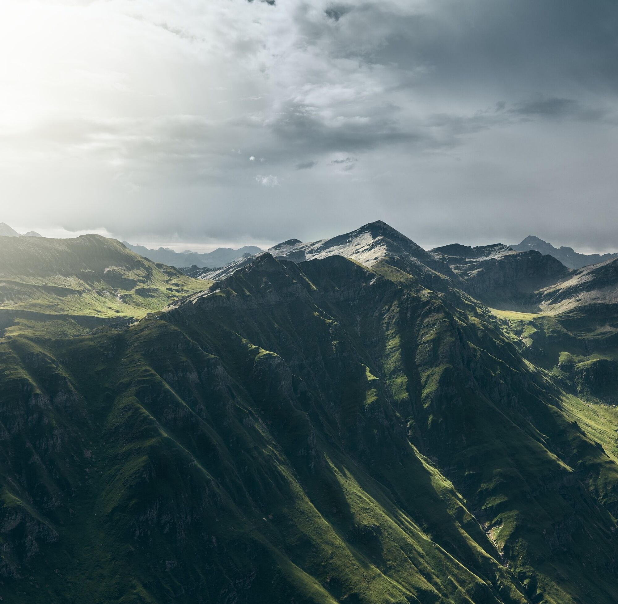
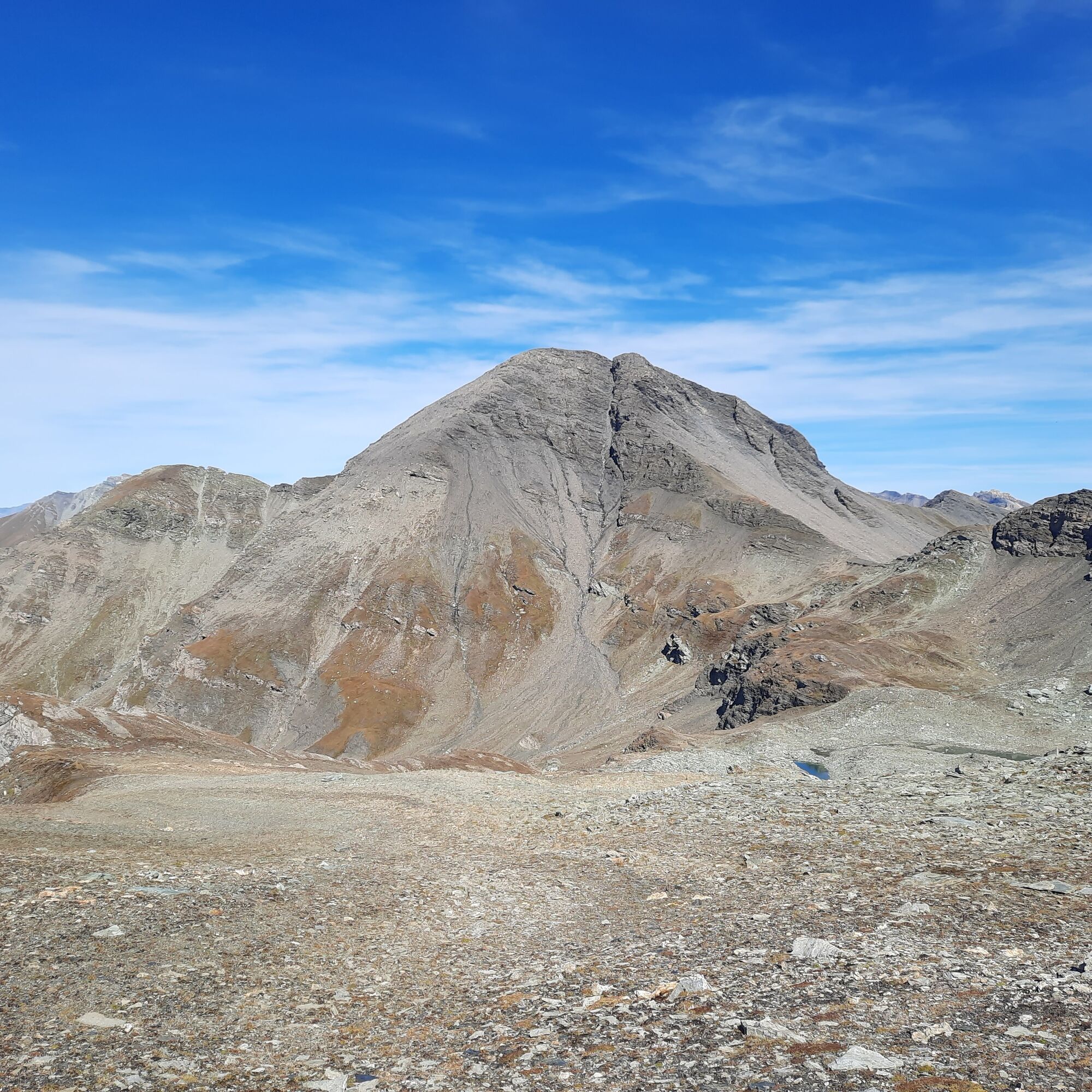
Bärenhorn 2929m

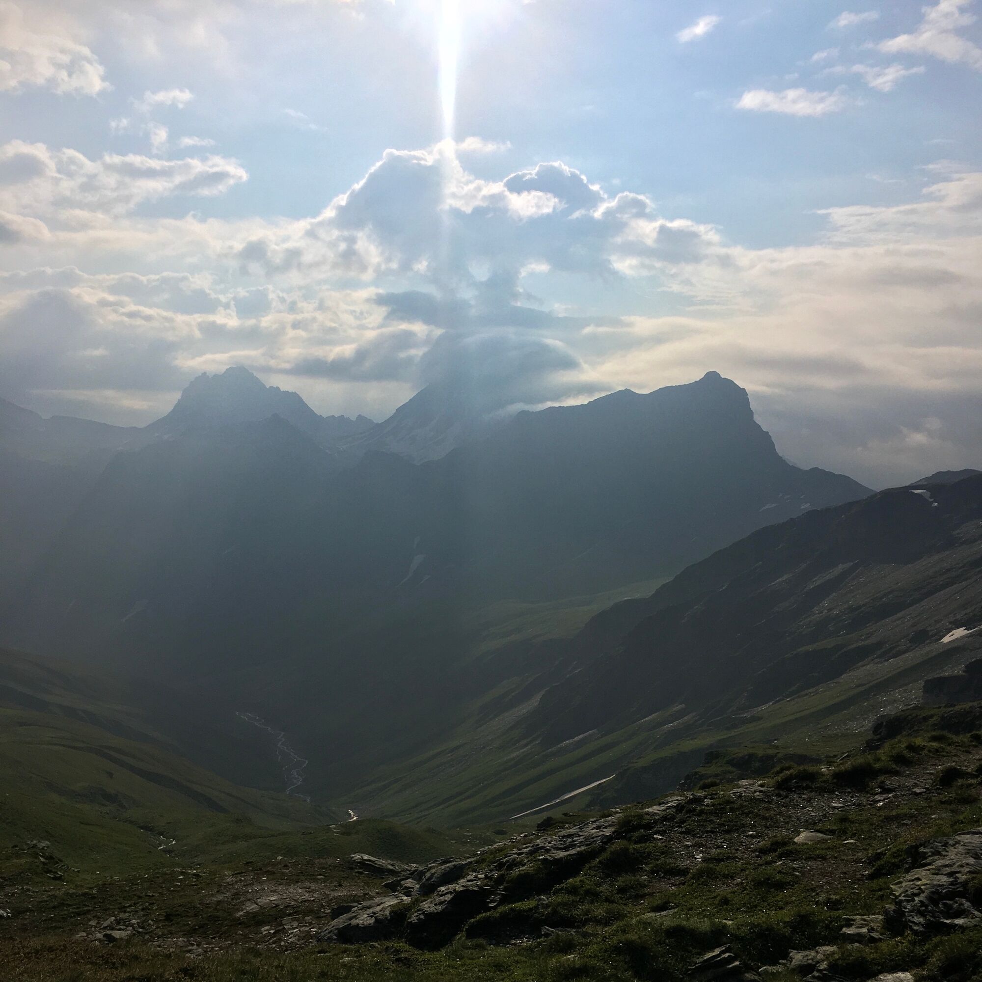
Due to its special location, wonderful views of various Graubünden regions are offered. With its mighty scree slopes, the Bärenhorn forms the highest point of the long ridge that almost five kilometers...
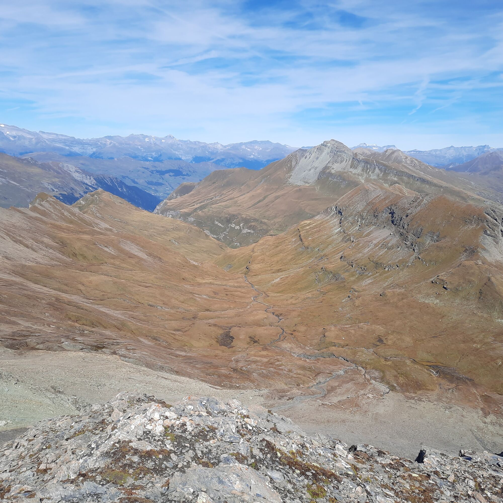
Due to its special location, wonderful views of various Graubünden regions are offered. With its mighty scree slopes, the Bärenhorn forms the highest point of the long ridge that almost five kilometers downhill begins with Vals's local mountain, the "Höreli." Along the way, you will discover the mysterious nature of the remote high valley "Chli Tomül" and perhaps share the summit experience with the numerous chamois that like to stay there.

By hiking bus from Vals up to the Riefawald parking lot (1820 m). Directly behind it begins the small access path to the official hiking route, which after a short steep section leads in 30 minutes to the idyllic clearing Pradätsch (1951 m) with a view of the Zervreilasee.
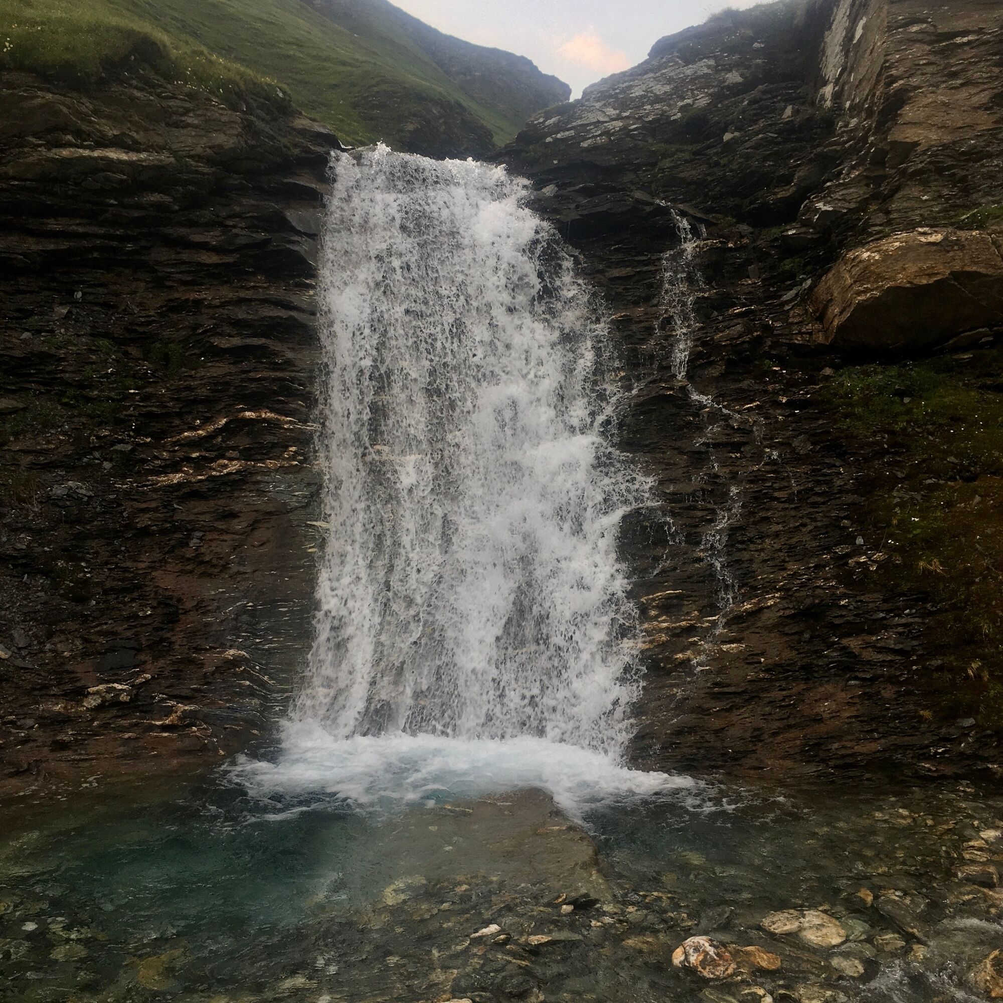
Following the now flatter path, the gorge of the Tomülbach soon opens up and gives the view of the impressive high plateau of Riedboda, crossed by meandering streams. After the steep ascent towards Alp Tomül (2181 m, 1 hour 15 minutes from Pradätsch), turn right just before crossing the bridge and ascend in 45 minutes over trails and past rushing waterfalls to point 2451.
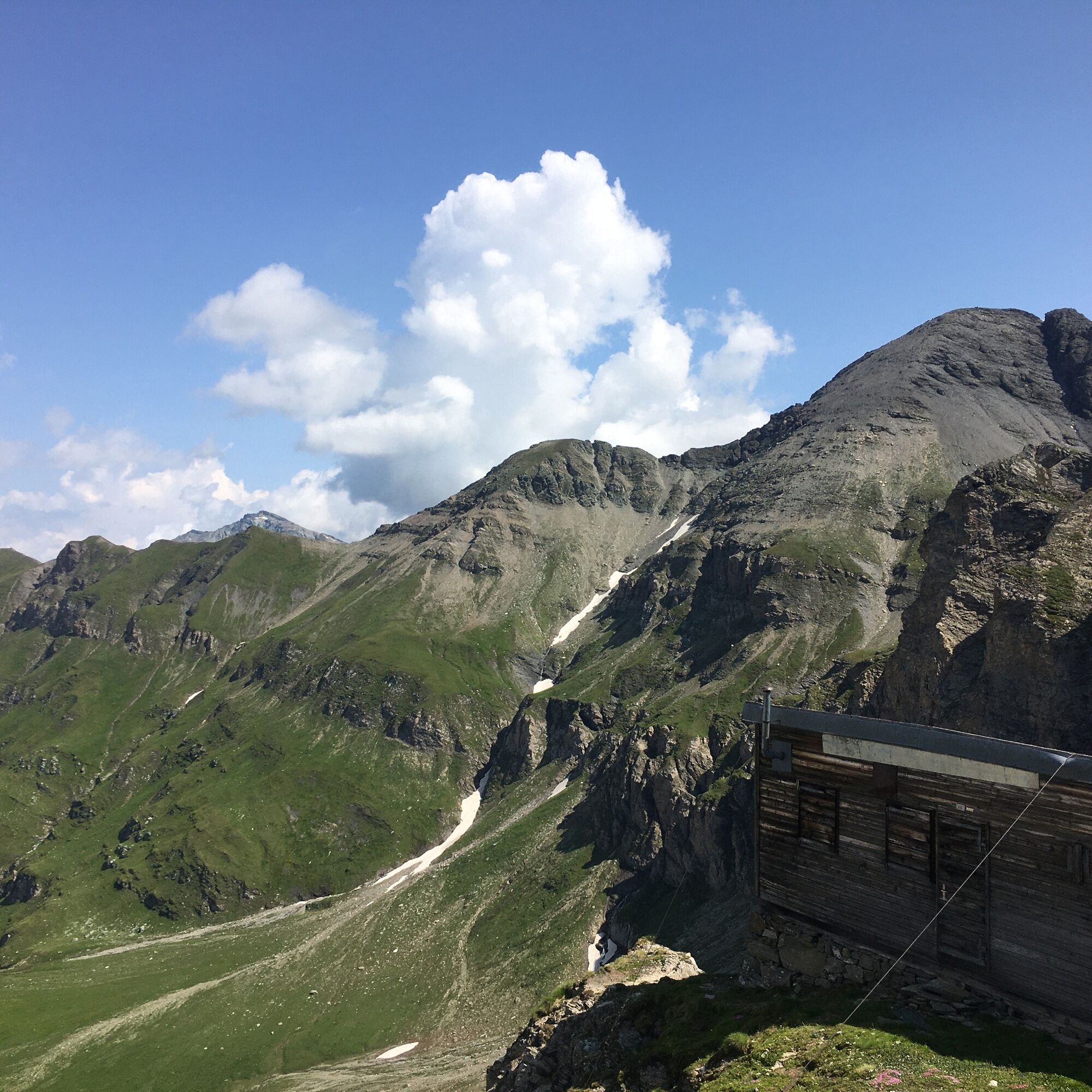
With the summit in sight, the Bear Pass (Bärenlücke, 2530 m) is reached in 45 minutes following the river course over easy terrain, offering a magnificent view over the rear Safien valley. The ascent to the summit takes 45 minutes over a well-developed path on the northeast ridge.
Da
Da
Da
Solid, rainproof, warm clothing. Robust mountain or trekking boots. Gloves, hat, sun protection. Hiking poles, provisions and drinks from the backpack, emergency first aid kit, topographic map, altimeter, compass, mobile phone, flashlight.
Requirements: Technically an easy route (T3) suitable for experienced mountain hikers, requiring caution in wet, cold, and snowy summit conditions.
On this hike, expect encounters with mother cows.
Detailed information on conduct: https://www.wandern.ch/en/hiking/safely-on-the-way/mother-cow-herds
Via Chur-Ilanz to Vals.
To Vals by PostAuto from Ilanz.
Parking lot "Bidem" (fee required) near the village square.
For enduring hikers, an additional ascent of the Teischers (2688 m) with spectacular views of the Peil valley is recommended on the outward journey.
Priljubljeni izleti v okolici
-
5.0
Panorama route
svetlobaPohodništvo 5.39 km -
5.0
Hiking route Suspension Bridge Val da Tersnaus
srednjaPohodništvo 3.24 km -
Piz Fess 2880m, the proud one
težkoPohodništvo 12.8 km -
3.3
3-lake hike
srednjaPohodništvo 12.8 km -
5.0
Winter hike Gadastatt - Frunt - Zerfreila (Panorama trail)
svetlobaZimsko pohodništvo 5.36 km -
5.0
Southeast Switzerland Hiking Day Vals 2017
svetlobaPohodništvo 11.8 km -
5.0
Hike Vrin - Uors over the suspension bridge Val da Silgin
srednjaPohodništvo 12.3 km -
3.5
Places of Magic - Lumbrein
srednjaPohodništvo 8.74 km -
Fanellhorn 3124 m
težkoVisokogorska tura 6.86 km -
4.0
Senda culturala Lumnezia / Kulturweg Lumnezia
svetlobaTematska pot 7.54 km
Pohodništvo in sledenje


Ne zamudite ponudb in navdiha za naslednje počitnice
Vaš e-poštni naslov je bil dodan na poštni seznam.