Thusis - Reformierte Kirche Sils im Domleschg - Reformierte Kirche Reischen - Saliceto
srednja
Navigacija po spletni strani
Navigacija po spletni strani
Pridobite to turo v svoj mobilni telefon
Thusis - Reformierte Kirche Sils im Domleschg - Reformierte Kirche Reischen - Saliceto
srednja
Gorski pohodništvo
74.95
km
Skenirajte kodo QR in začnite navigacijo v aplikaciji bergfex.

Pohodništvo in sledenje


Thusis - Reformierte Kirche Sils im Domleschg - Reformierte Kirche Reischen - Saliceto
srednja
Razdalja
74.95
km
Trajanje
22:54
h
Ascent
1,854
hm
Morska gladina
319 -
2,114
m
Prenos skladbe
Thusis - Reformierte Kirche Sils im Domleschg - Reformierte Kirche Reischen - Saliceto
srednja
Gorski pohodništvo
74.95
km
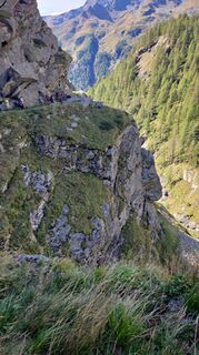
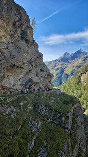
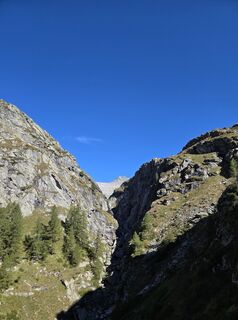
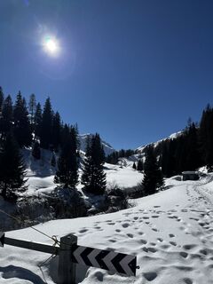
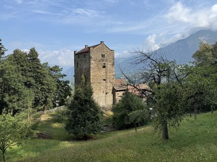
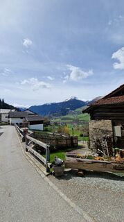
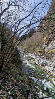
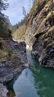
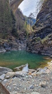
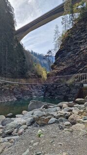
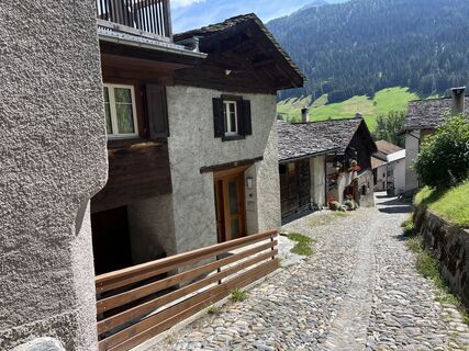
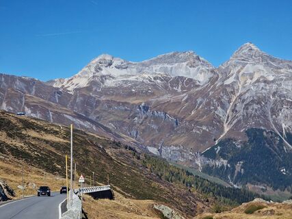
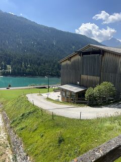
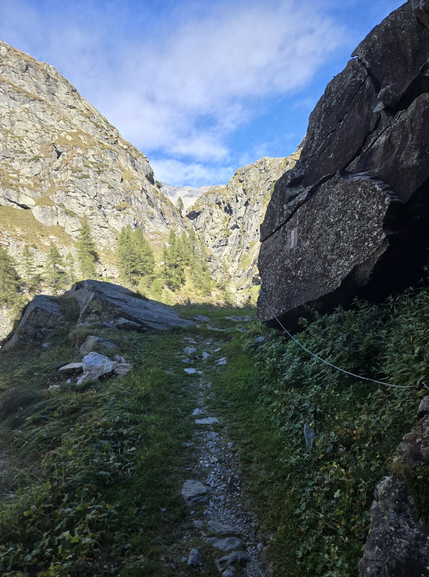
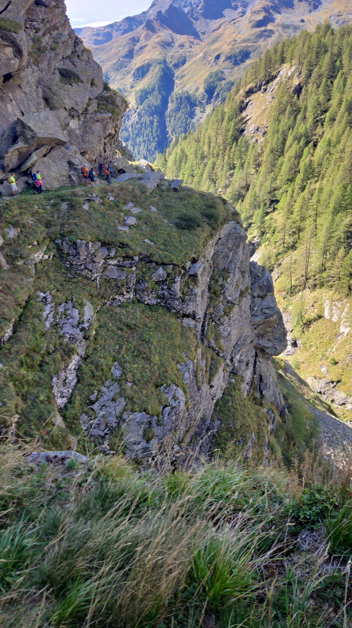
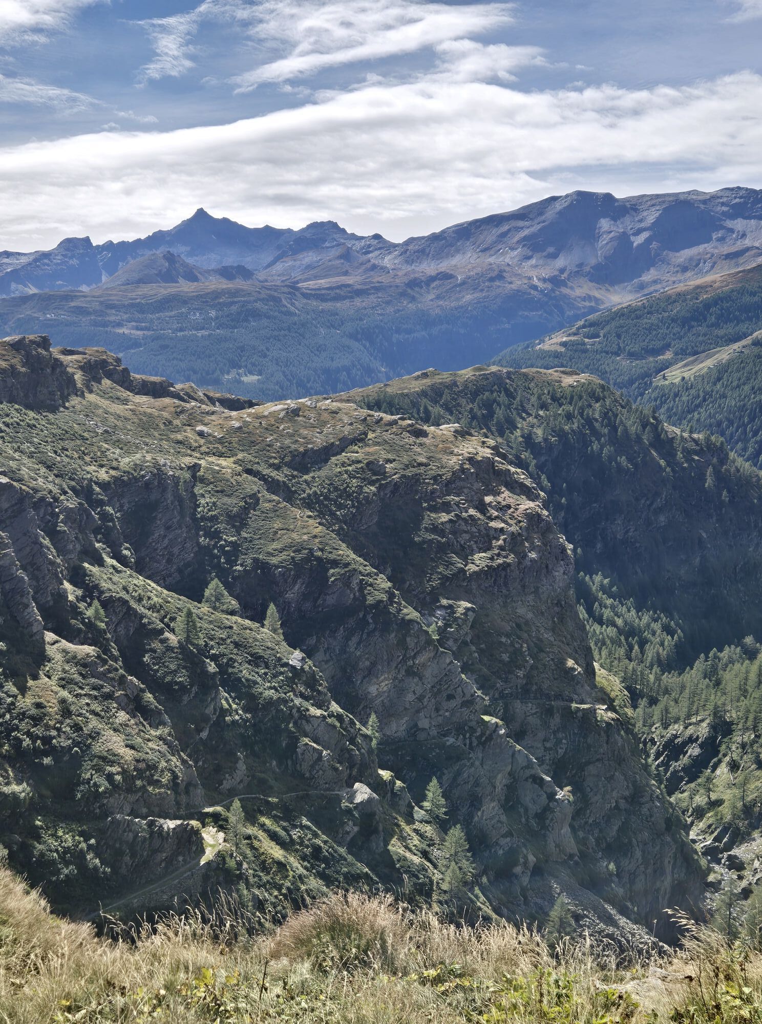
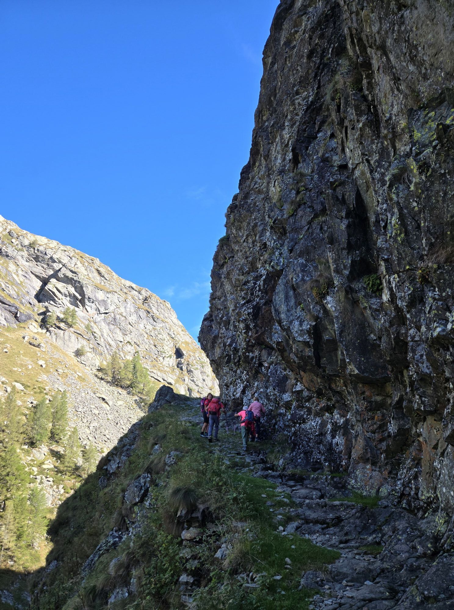
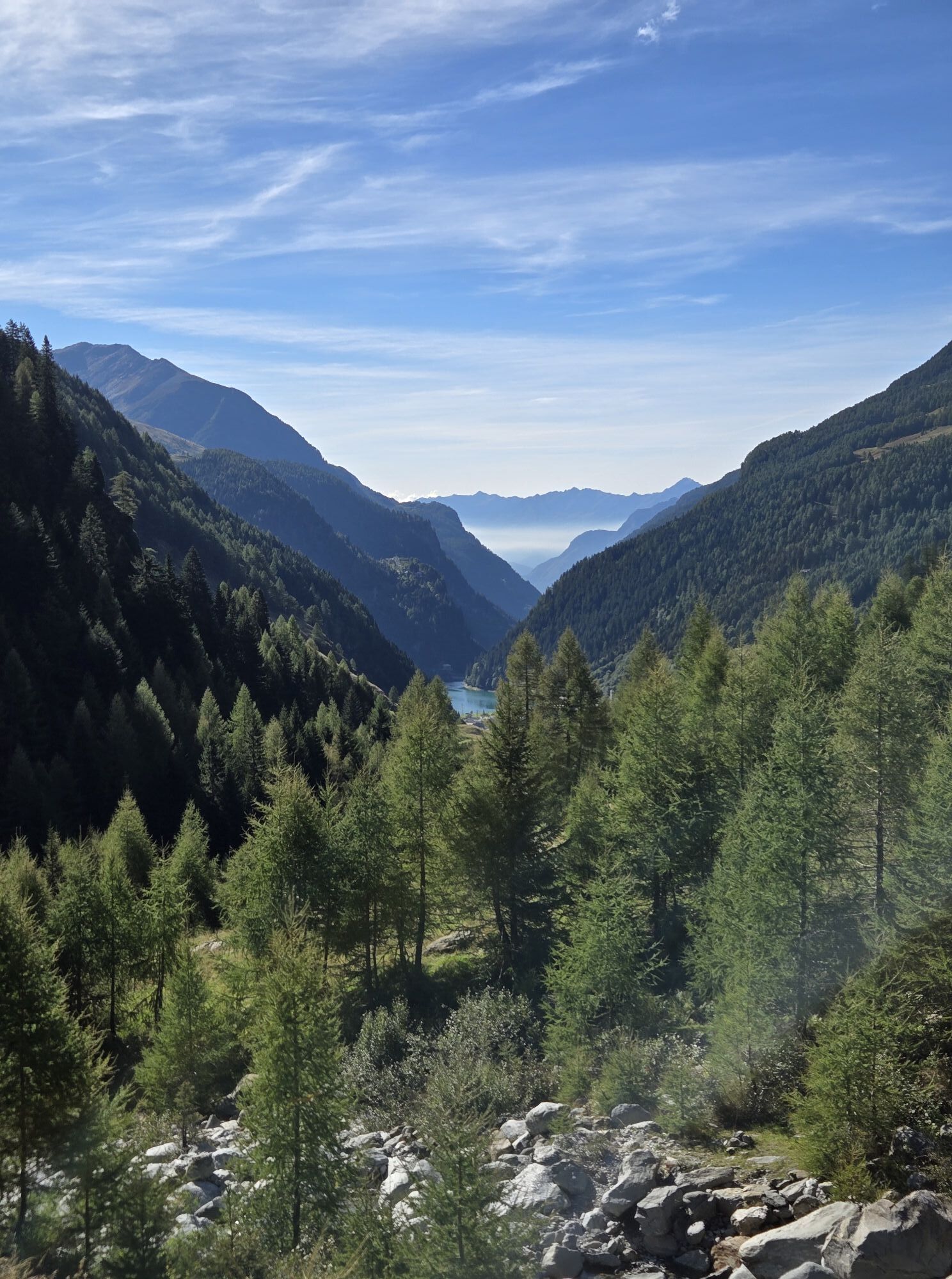
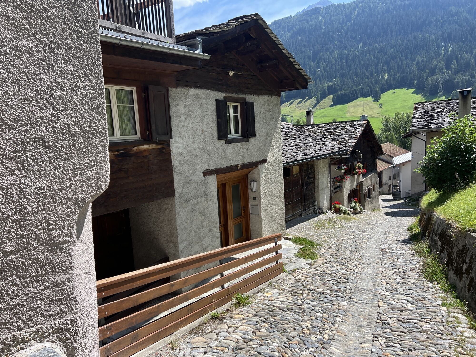
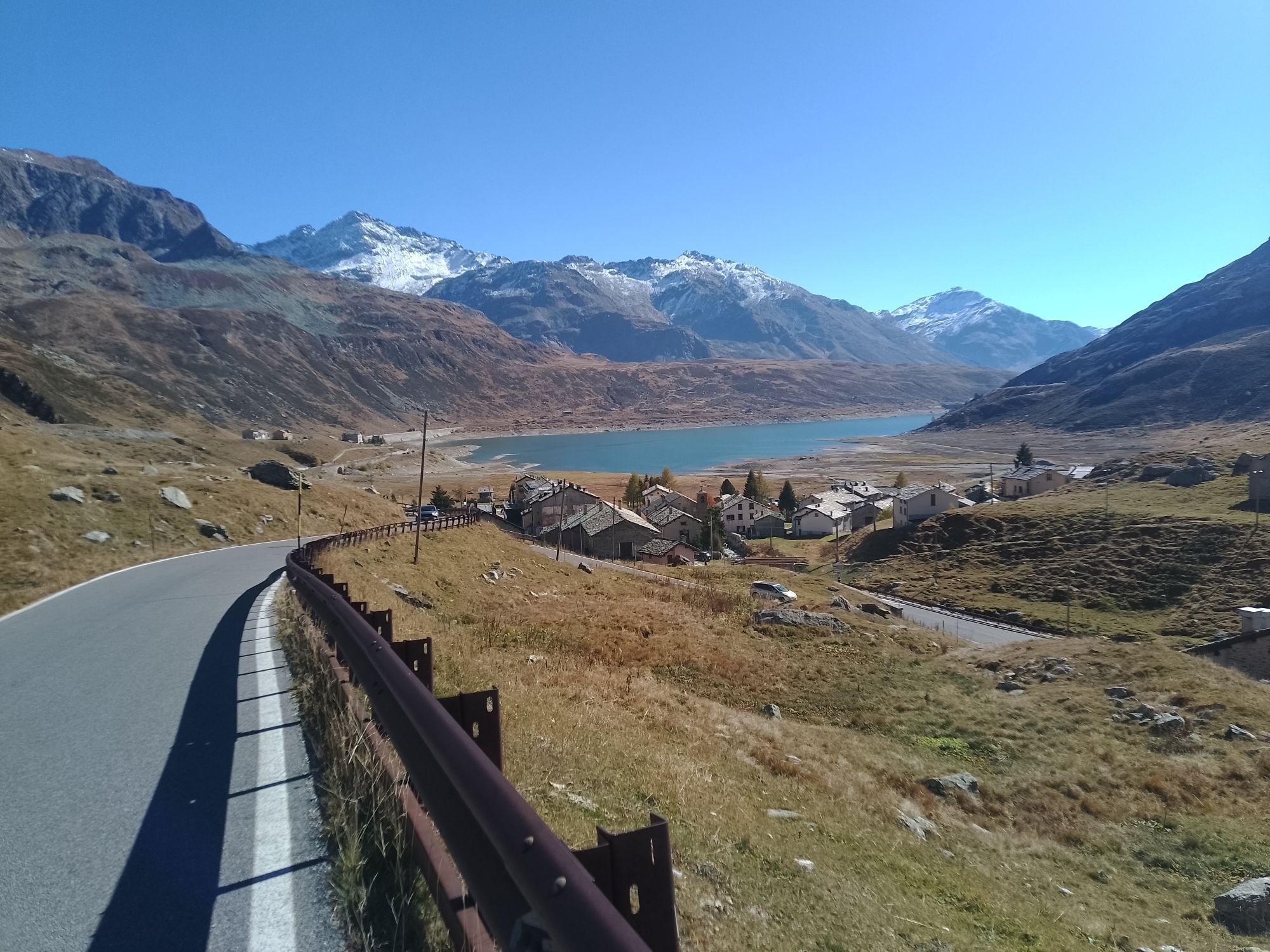
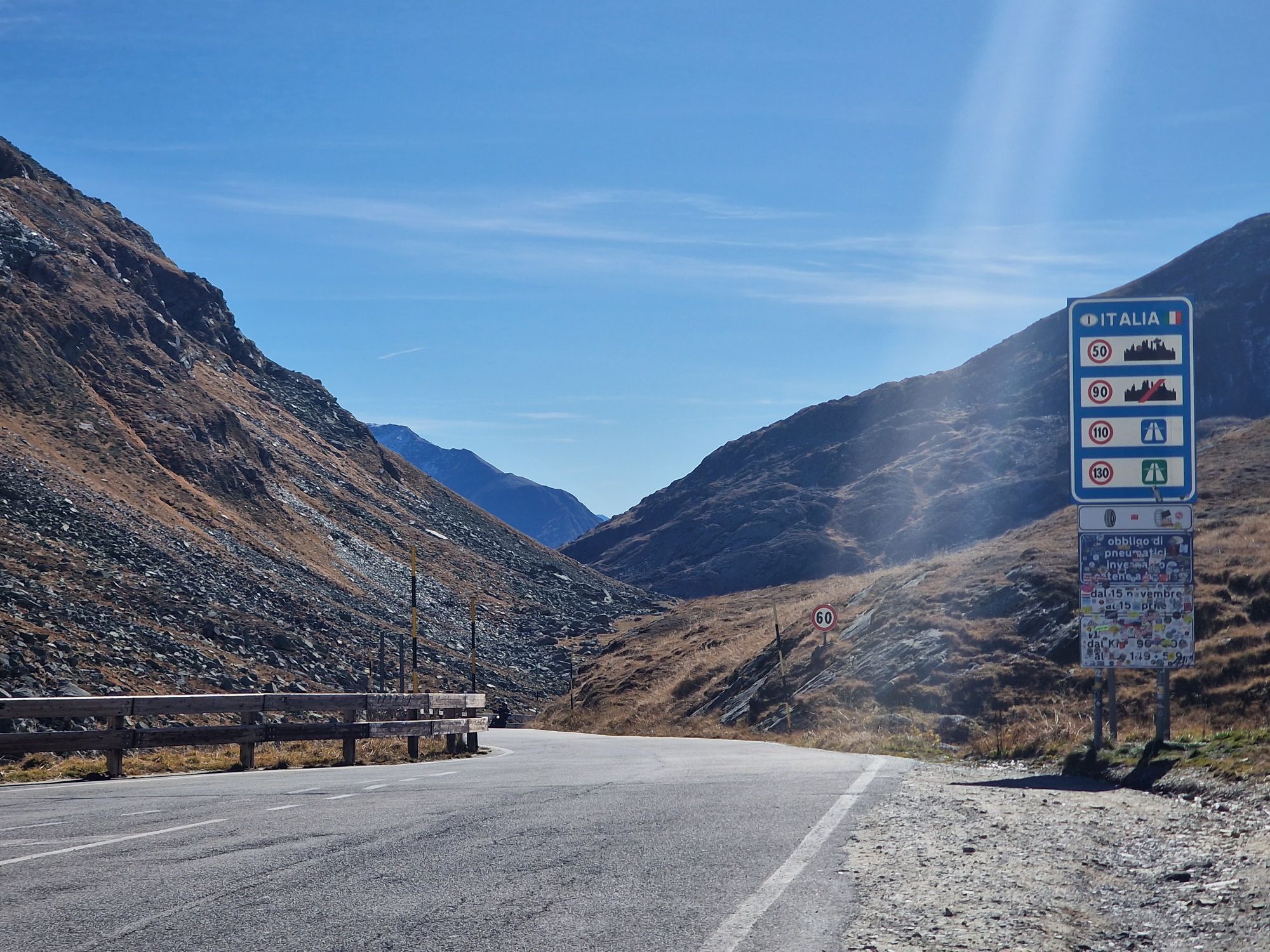
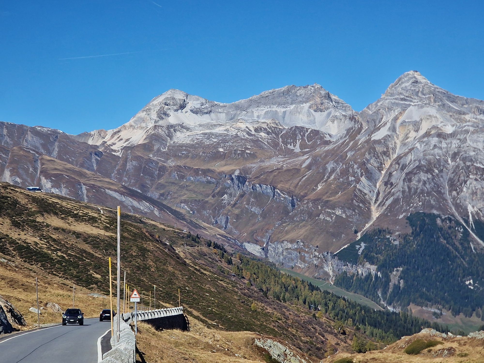
Fotografije naših uporabnikov
-
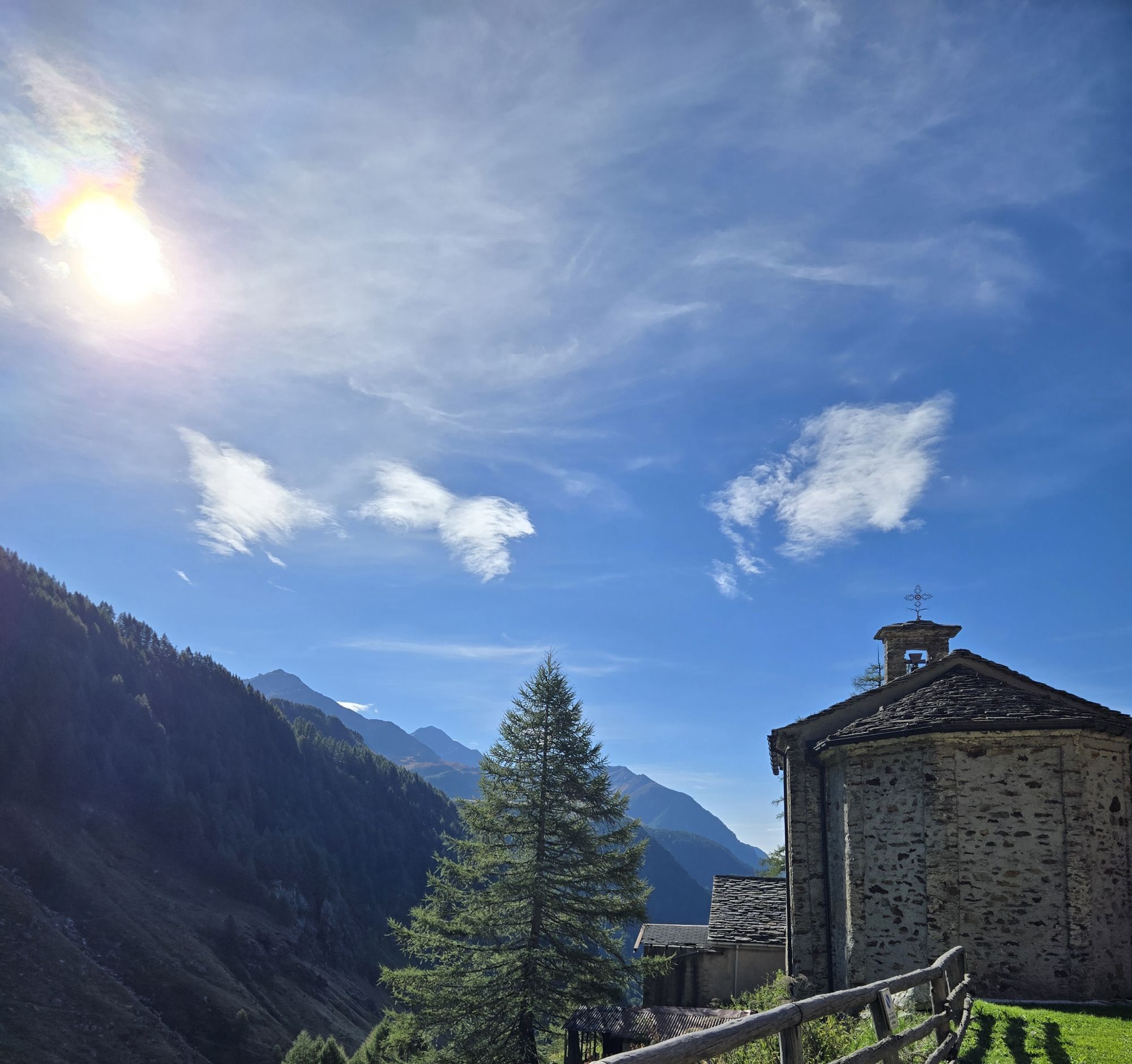
 © Francesca SemeraroUstvarjeno na 17.09.2025
 -
 © Francesca SemeraroUstvarjeno na 17.09.2025
 -
 © Francesca SemeraroUstvarjeno na 17.09.2025
 -
 © Francesca SemeraroUstvarjeno na 17.09.2025
 -
 © Francesca SemeraroUstvarjeno na 17.09.2025
 -
 © Francesca SemeraroUstvarjeno na 17.09.2025
 -
 © Francesca SemeraroUstvarjeno na 17.09.2025
 -
 © Francesca SemeraroUstvarjeno na 17.09.2025
 -

 © Marisa scafettaUstvarjeno na 02.03.2025
 -
 © Marisa scafettaUstvarjeno na 02.03.2025
 -
 © Marisa scafettaUstvarjeno na 02.03.2025
 -
 © Marisa scafettaUstvarjeno na 02.03.2025
 -
 © Pass ChristinaUstvarjeno na 21.08.2024
 -
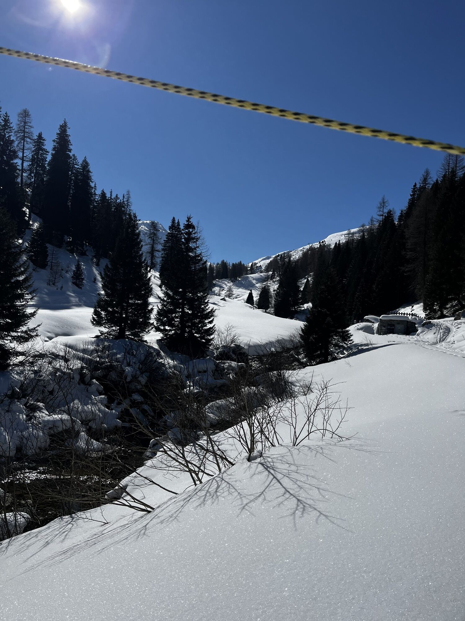
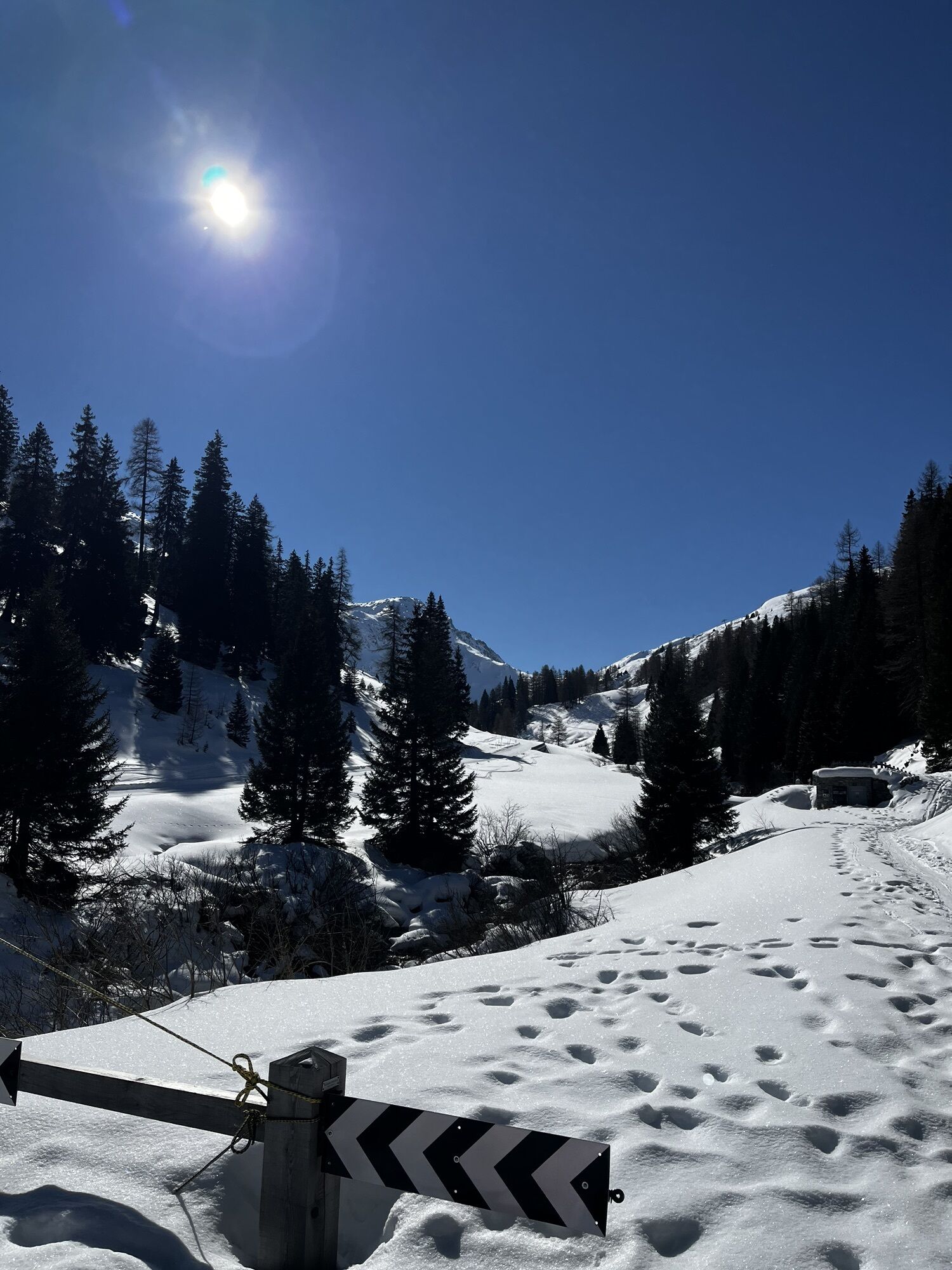
 © Marc SchmidigUstvarjeno na 27.04.2023
 -
 © Marc SchmidigUstvarjeno na 27.04.2023
 -
 © Marc SchmidigUstvarjeno na 27.04.2023
 -
 © Marc SchmidigUstvarjeno na 27.04.2023
 -
 © Marc SchmidigUstvarjeno na 27.04.2023
 -
 © Marc SchmidigUstvarjeno na 27.04.2023
 -
 © Marc SchmidigUstvarjeno na 27.04.2023
 -
 © Marc SchmidigUstvarjeno na 27.04.2023
 -
 © Marc SchmidigUstvarjeno na 27.04.2023
 -

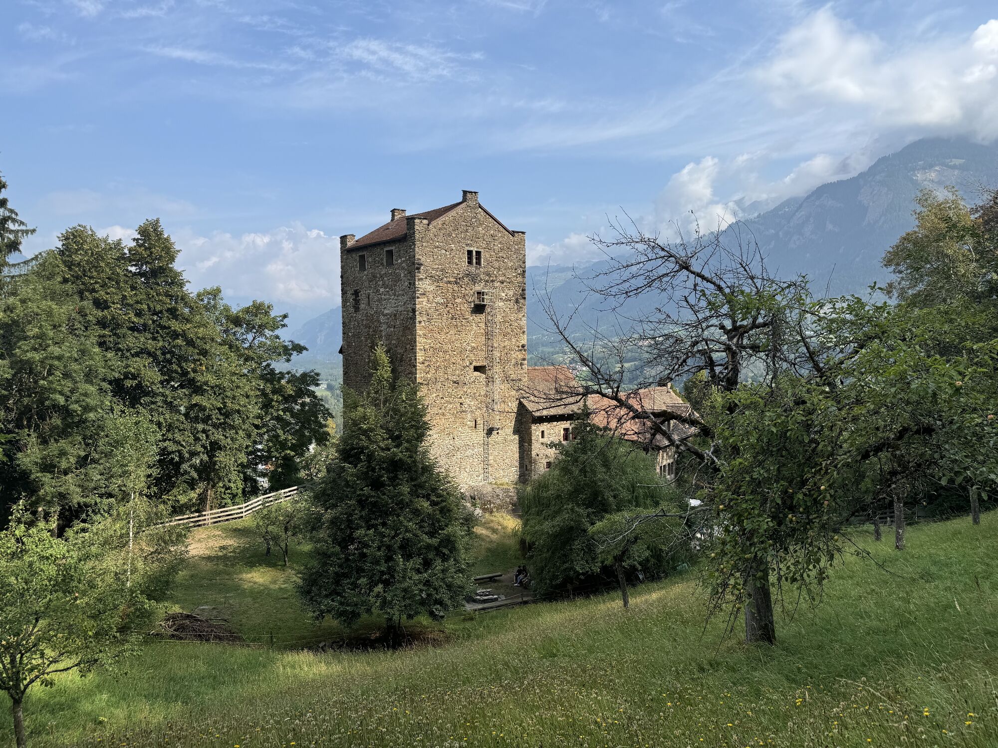
 © Marco AllemannUstvarjeno na 19.08.2025
 -
 © Marco AllemannUstvarjeno na 19.08.2025
 -
 © Marco AllemannUstvarjeno na 19.08.2025
 -
 © Marco AllemannUstvarjeno na 19.08.2025
 -

 © Fabio SalviniUstvarjeno na 12.10.2025
 -

 © Cristian Mario RotaUstvarjeno na 11.10.2025
 -
 © Cristian Mario RotaUstvarjeno na 11.10.2025
 -
 © Cristian Mario RotaUstvarjeno na 11.10.2025
 -
 © Marco AllemannUstvarjeno na 19.08.2025
 -
 © Marco AllemannUstvarjeno na 19.08.2025
 -
 © Marco AllemannUstvarjeno na 19.08.2025
 -
 © Marco AllemannUstvarjeno na 19.08.2025
 -

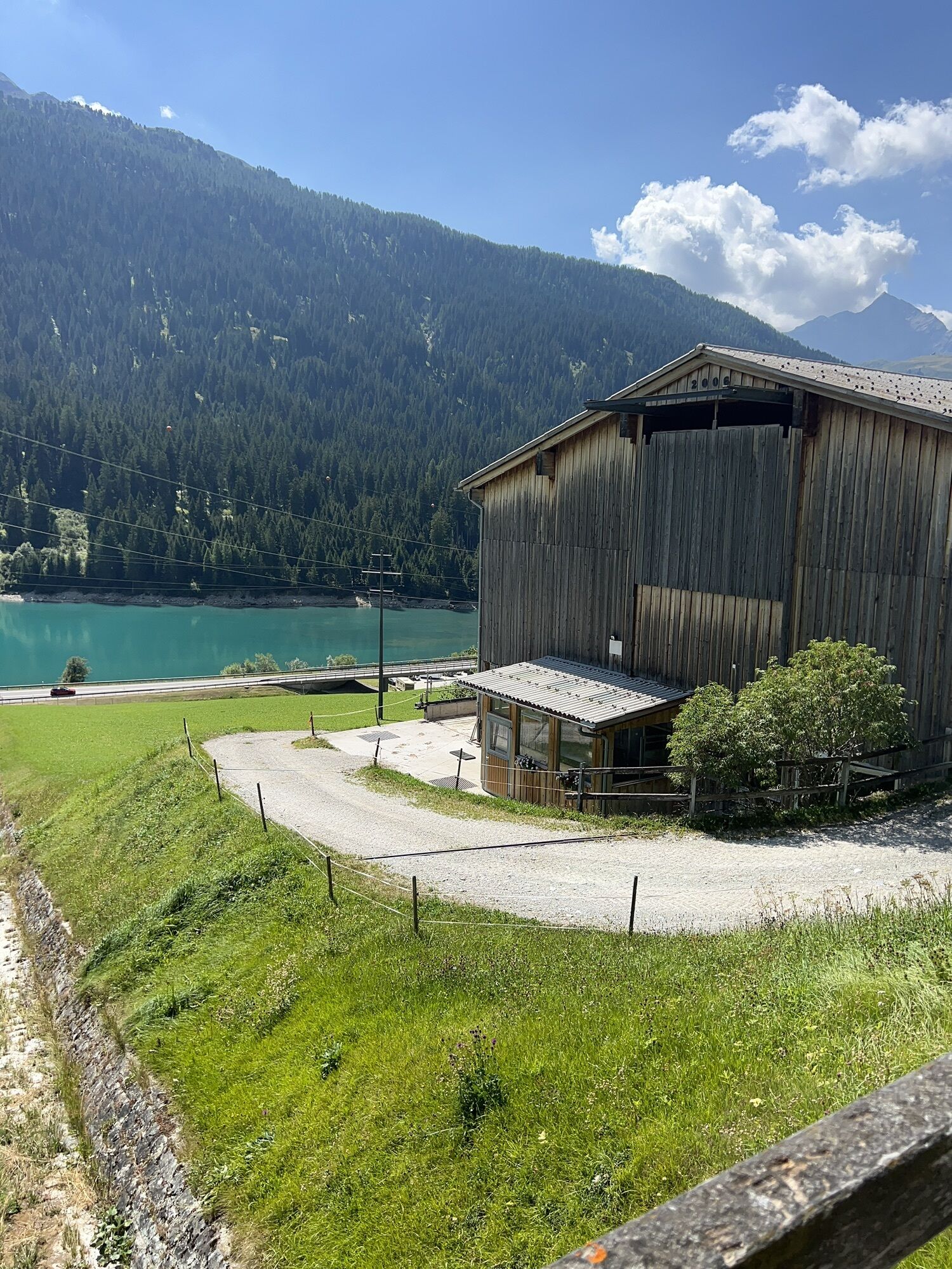
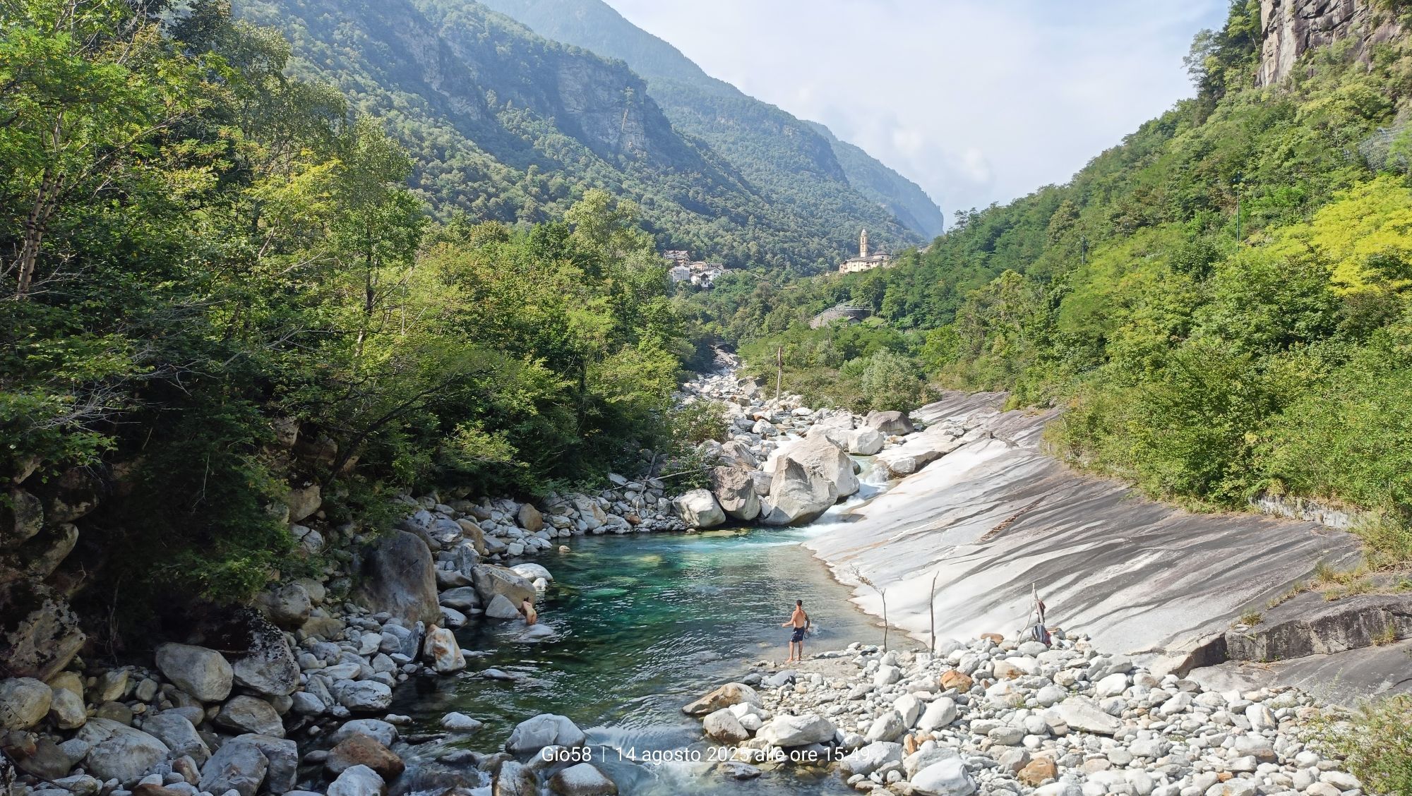
 © Gio58Ustvarjeno na 14.08.2025
 -

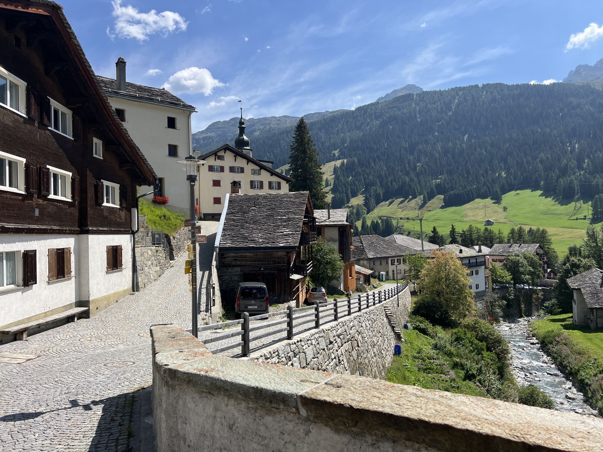
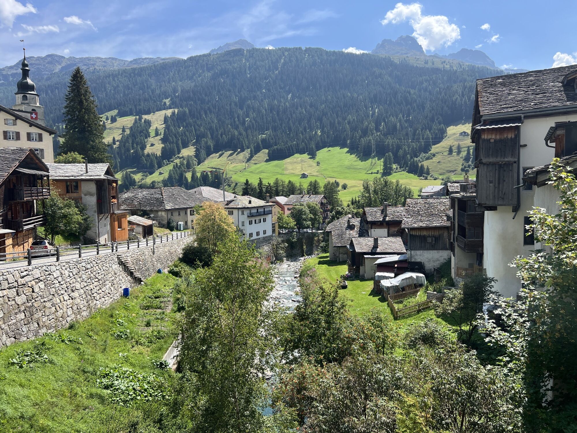
 © Thomas WaldraffUstvarjeno na 11.08.2025


Pot
Reformierte Kirche Reischen
(1,023 m)
Kraj čaščenja
10.9 km
Reformierte Kirche
(1,030 m)
Kraj čaščenja
13.5 km
Reformierte Kirche Splügen
(1,481 m)
Kraj čaščenja
36.7 km
Chiesa parrocchiale dei Santi Martino e Giorgio
(1,276 m)
Kraj čaščenja
55.0 km
Cappella Madonna dei bambini
(1,075 m)
Kraj čaščenja
63.0 km
Oratorio di Sant’Antonio di Vallesegna
(792 m)
Kraj čaščenja
66.9 km
Chiesa di San Bartolomeo
(321 m)
Kraj čaščenja
74.4 km
Pot
Thusis - Reformierte Kirche Sils im Domleschg - Reformierte Kirche Reischen - Saliceto
srednja
Gorski pohodništvo
74.95
km
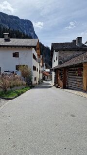
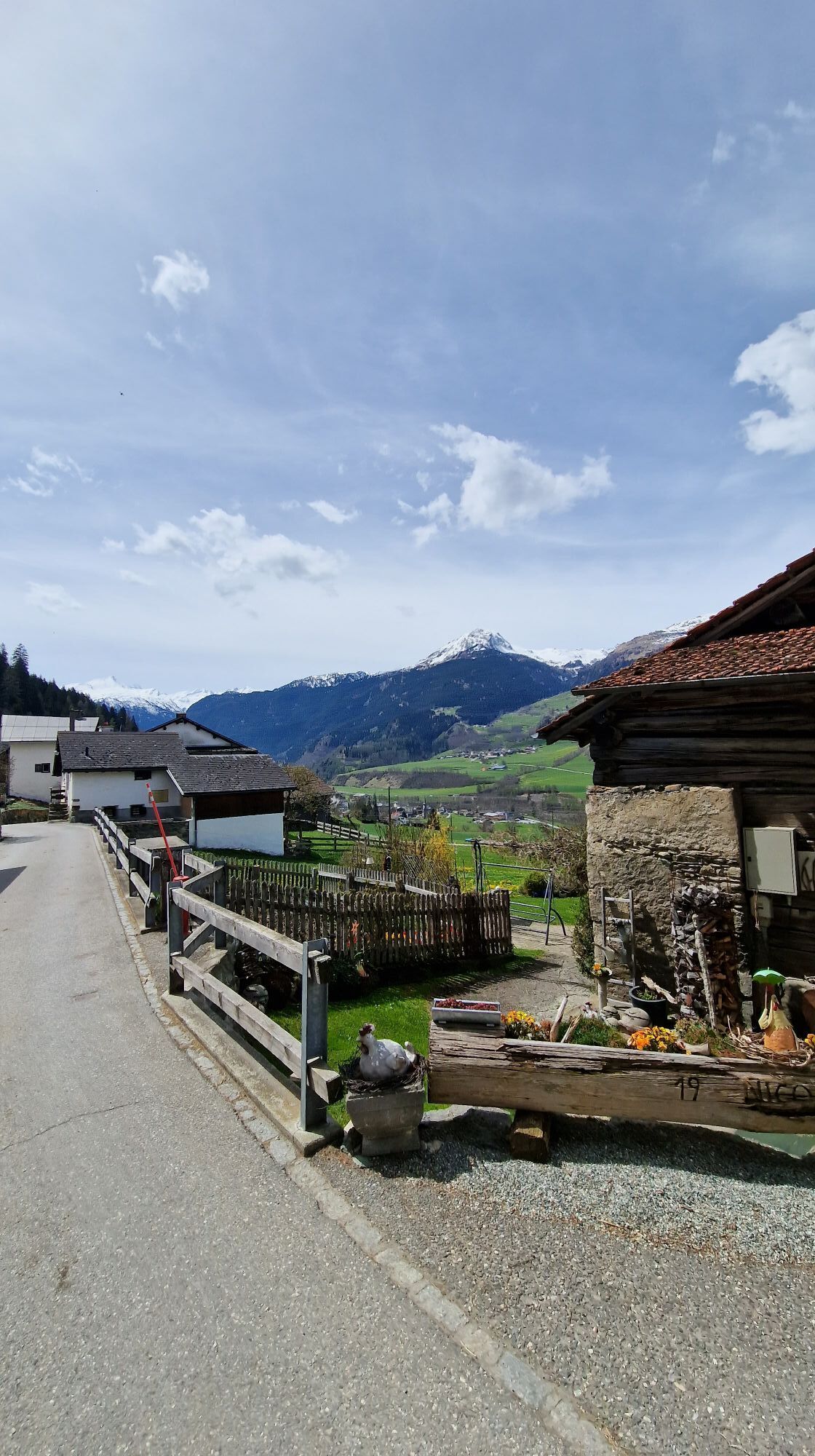
Thusis
(720 m)
Vas
0.0 km
Gasthaus Post
(683 m)
Restavracija
1.5 km
Sils im Domleschg
(633 m)
Vas
1.6 km
Campell
(683 m)
Restavracija
1.6 km
Reformierte Kirche Sils im Domleschg
(685 m)
Kraj čaščenja
1.7 km
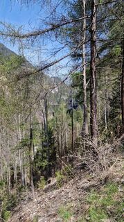
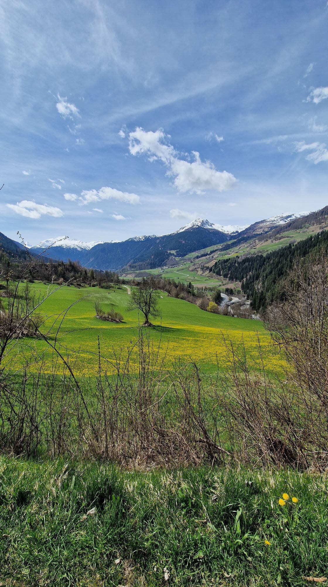
Hohenrätien
(905 m)
Koridor/teren
3.0 km
St. Albin
(977 m)
Poravnava
4.1 km
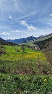
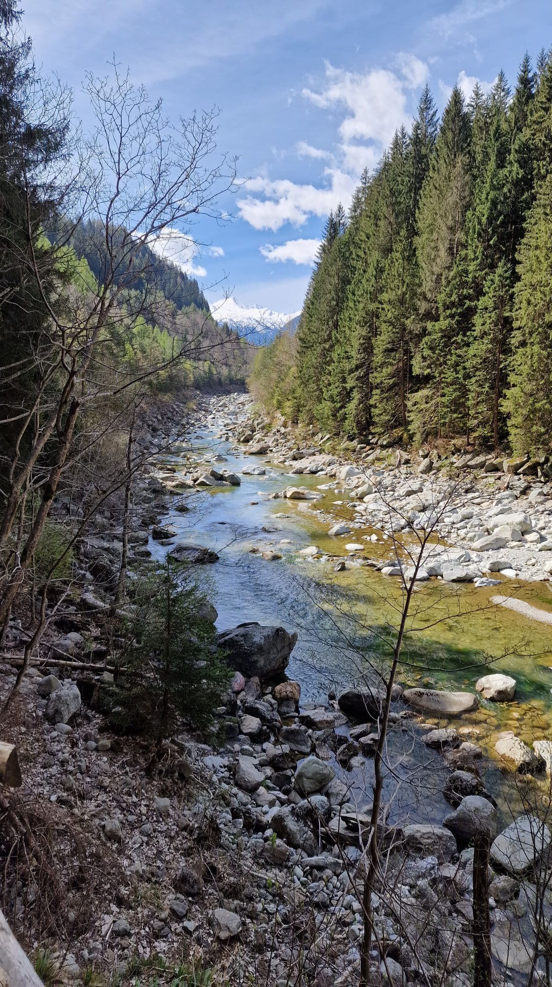
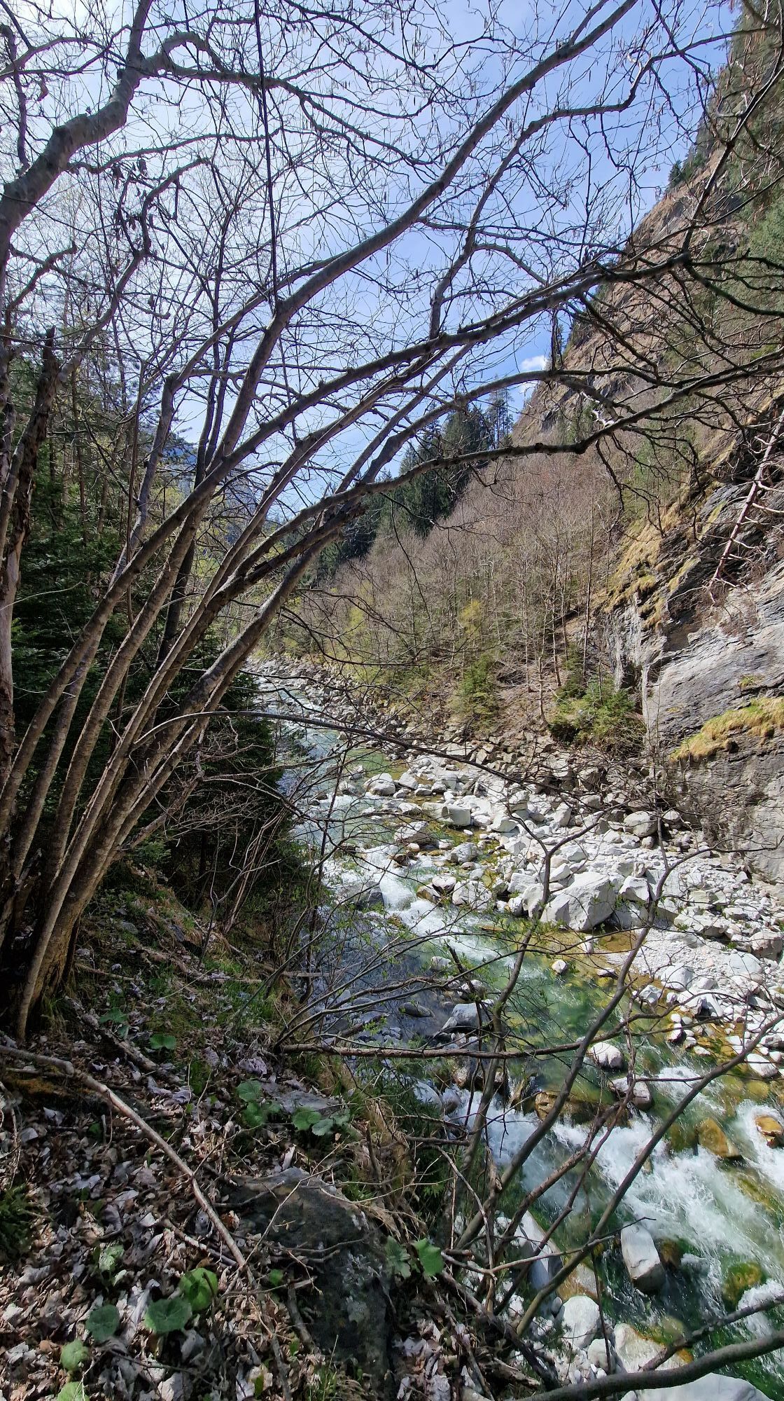
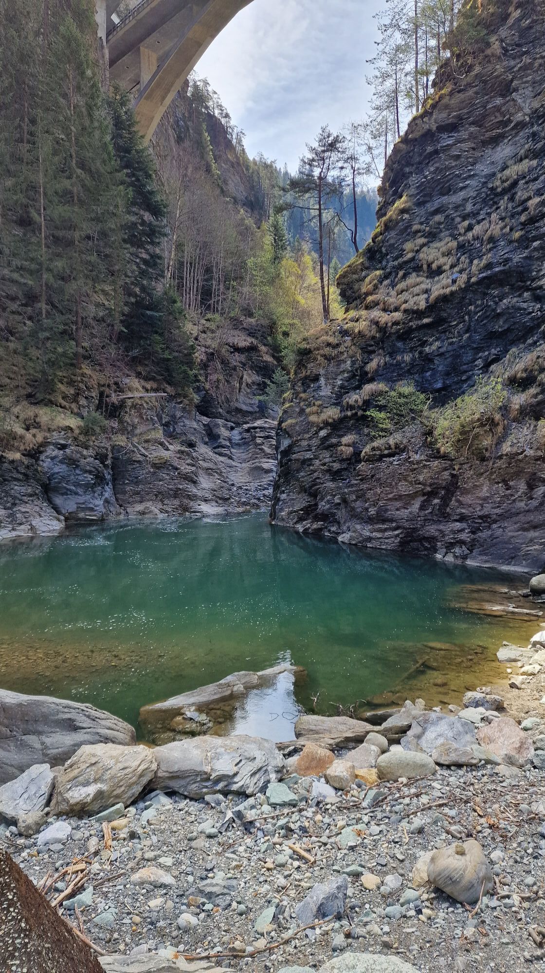
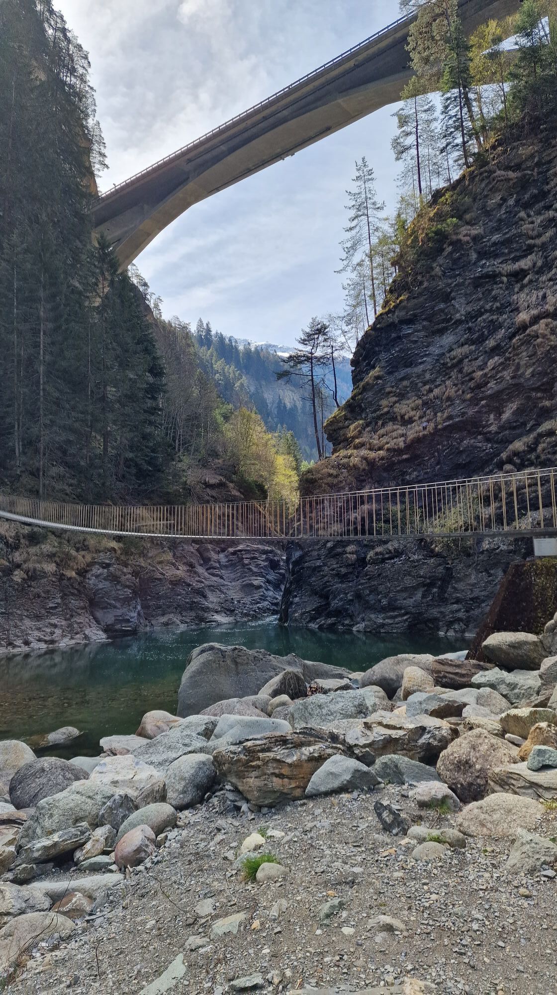
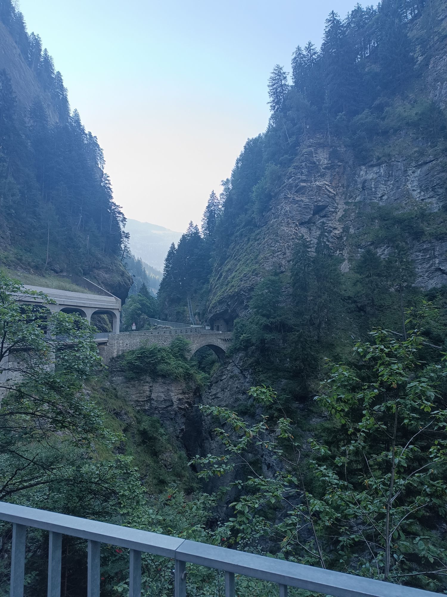
Foto-Spot Viamala-Schlucht
(872 m)
Pogled
7.1 km
Reischen
(1,020 m)
Vas
10.9 km
Reformierte Kirche Reischen
(1,023 m)
Kraj čaščenja
10.9 km
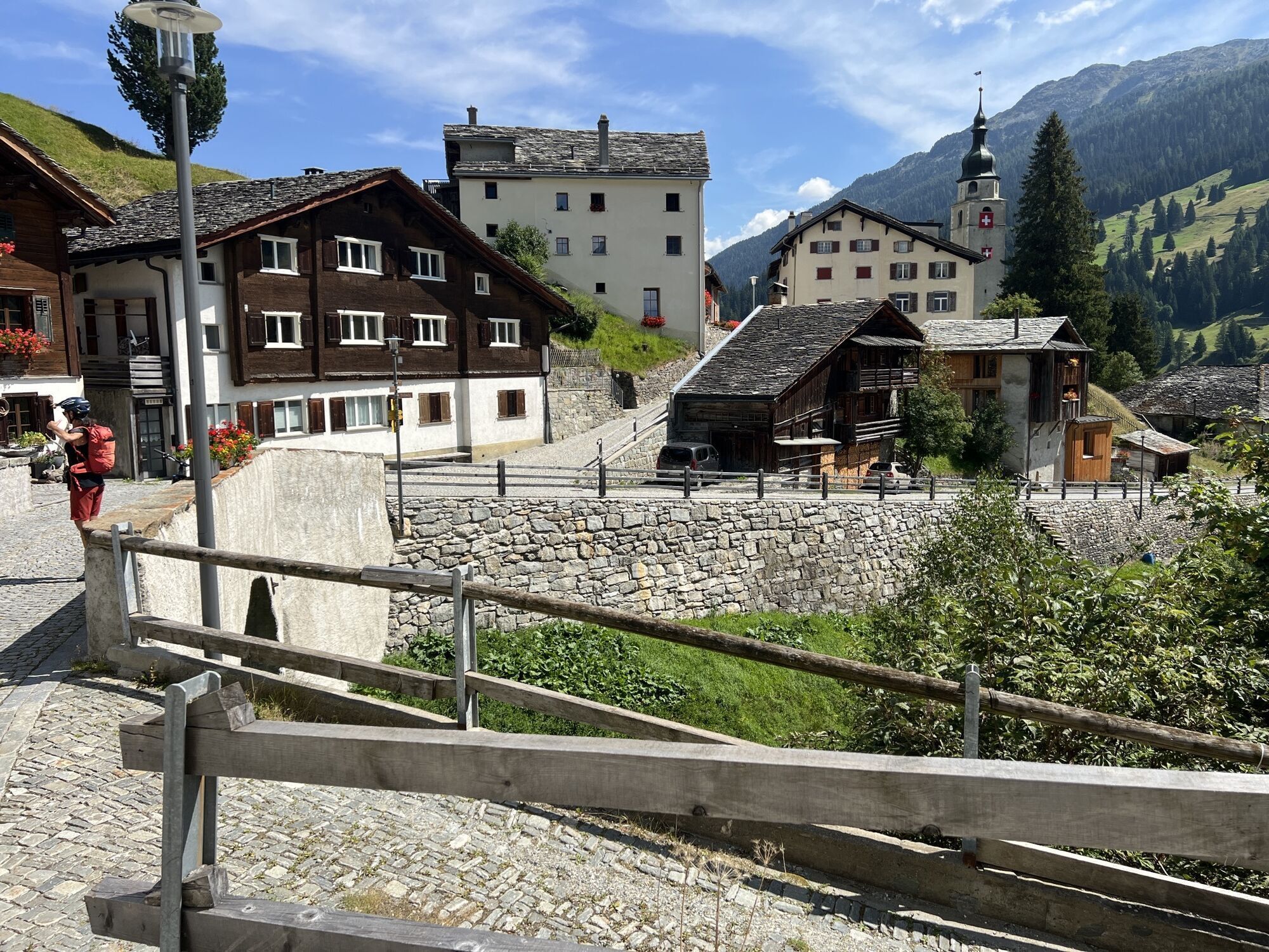
Zillis
(945 m)
Vas
11.9 km
St. Martin
(933 m)
Kraj čaščenja
12.0 km
Spielplatz Kindergarten / Scoleta Zillis
(935 m)
Igrišče
12.1 km
Reformierte Kirche
(1,030 m)
Kraj čaščenja
13.5 km
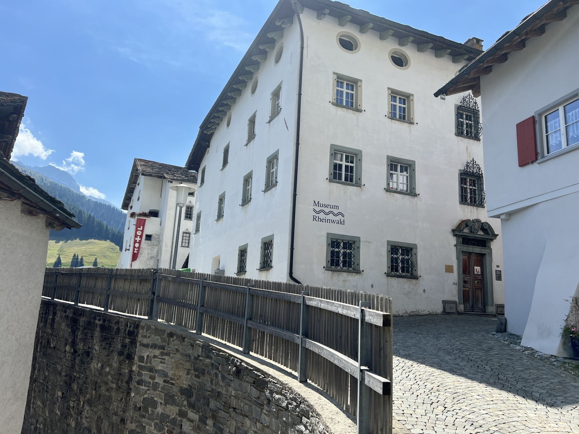
Donat
(1,035 m)
Vas
13.5 km
Turclagn
(1,065 m)
Koridor/teren
13.9 km
Clugin
(1,007 m)
Vas
15.3 km
Spielplatz Andeer
(976 m)
Igrišče
17.2 km
Schwert
(982 m)
Restavracija
17.6 km
Andeer
(983 m)
Vas
17.7 km
Bärenburg
(1,049 m)
Poravnava
18.7 km
Planca Lumbarda
(1,094 m)
Koridor/teren
21.0 km
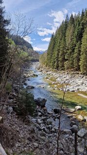
Rofflafall
(1,099 m)
Slap
21.5 km
Reformierte Kirche Sankt Salvator
(1,426 m)
Kraj čaščenja
32.6 km
Sufers
(1,430 m)
Vas
32.7 km
Wissbach
(1,440 m)
Koridor/teren
33.7 km
Reformierte Kirche Splügen
(1,481 m)
Kraj čaščenja
36.7 km
Altes Zollhaus
(1,463 m)
Restavracija
37.0 km
Splügen
(1,457 m)
Vas
37.0 km
Rustico
(1,460 m)
Restavracija
37.2 km
Steina
(1,474 m)
Soseska
37.5 km
Bodmastafel
(1,788 m)
Koridor/teren
40.5 km
Bodmastafel
(1,790 m)
Postaja gondole
40.8 km
Alp Cerfui
(2,063 m)
Koridor/teren
44.3 km
Montespluga
(1,908 m)
Poravnava
46.1 km
La Capriata
(1,901 m)
Restavracija
46.2 km
Soste
(1,553 m)
Koridor/teren
52.0 km
Rasdeglia
(1,499 m)
Koridor/teren
52.7 km
Mottaletta
(1,342 m)
Poravnava
54.0 km
Ristoro Mottaletta
(1,345 m)
Restavracija
54.1 km
Ca' di Goss
(1,283 m)
Soseska
54.7 km
Chiesa parrocchiale dei Santi Martino e Giorgio
(1,276 m)
Kraj čaščenja
55.0 km
Isola
(1,268 m)
Poravnava
55.1 km
Ristorante - Pizzeria La Cantina
(1,081 m)
Restavracija
60.4 km
Corti
(1,084 m)
Soseska
60.5 km
Acero
(1,107 m)
Soseska
60.9 km
Ca de Val
(1,107 m)
Restavracija
61.1 km
Chiesa parrocchiale di San Giovanni Battista
(1,105 m)
Kraj čaščenja
61.2 km
Campodolcino
(1,093 m)
Vas
61.3 km
Tini
(1,075 m)
Soseska
61.7 km
Pietra
(1,065 m)
Soseska
62.2 km
Portarezza
(1,066 m)
Soseska
62.6 km
Cappella Madonna dei bambini
(1,075 m)
Kraj čaščenja
63.0 km
Prestone
(1,065 m)
Soseska
63.0 km
Vho
(924 m)
Koridor/teren
64.3 km
Cimaganda
(915 m)
Poravnava
65.4 km
Lirone
(852 m)
Poravnava
65.9 km
Gallivaggio
(800 m)
Poravnava
66.7 km
Vallesegna
(797 m)
Koridor/teren
66.8 km
Oratorio di Sant’Antonio di Vallesegna
(792 m)
Kraj čaščenja
66.9 km
Via Spluga waterfall
(603 m)
Slap
69.1 km
Motta San Guglielmo
(590 m)
Poravnava
69.6 km
Chiesa di San Guglielmo Eremita
(537 m)
Kraj čaščenja
69.7 km
San Giacomo Filippo
(520 m)
Vas
70.3 km
Crotti di Bette
(460 m)
Koridor/teren
72.6 km
Giavere di Sopra
(382 m)
Soseska
72.7 km
Monteno
(333 m)
Soseska
74.2 km
Prato Bazzi
(321 m)
Koridor/teren
74.3 km
Chiesa di San Bartolomeo
(321 m)
Kraj čaščenja
74.4 km
Oltremera
(323 m)
Soseska
74.4 km
Chiesa di Santa Rosalia
(321 m)
Kraj čaščenja
74.5 km
Chiavenna
(333 m)
Mesto
74.5 km
Santa Maria
(322 m)
Soseska
74.5 km
Cantòn
(321 m)
Soseska
74.5 km
Ladranio
(327 m)
Soseska
74.8 km
Saliceto
(327 m)
Soseska
74.9 km
Še ni pregledov
Spletne kamere s turneje
-
Motta di sotto-Campodolcino
-
Sufers - KHR Stausee
-
Lenzerheide - Piz Scalottas
-
Fraciscio
-
Madesimo - Andossi
-
Madesimo
-
Tanatzhöhi Splügen
-
Montespluga
-
Castanedi Menarola
-
Motta di sotto-Campodolcino
-
Obermutten - Gasthaus Post
-
Motta di sotto-Campodolcino
-
Madesimo - Pianazzo
-
Isola
-
Andeer
-
Splügen Talstation
-
Andeer
-
Wergenstein
-
Ferrera
-
Motta di sotto-Campodolcino
-
Splügen /Rheinwald Langlaufeinstig
-
Montespluga Dogana
-
Fraciscio
-
Motta e Madesimo
Priljubljeni izleti v okolici
-
5.0
Montespluga - Splügen Pass - Bergseeli - Lago Azzuro - Bocchetta della Zacopel - Montespluga
težkoPohodništvo 7.15 km -
Montespluga - Lago di Montespluga - Cardinello Schlucht - Isola
srednjaPohodništvo 9.38 km -
5.0
Da Montespluga al Lago d’Emet
srednjaPohodništvo 7.94 km -
4.0
Thalkirch, Turra - Z'hinderst - Thalkirch, Turra
srednjaPohodništvo 6.92 km -
Tomülpass and Strätscherhorn in the Safien valley
srednjaSnežni čevlji 9.56 km -
4.5
Schwert - Reformierte Kirche Sankt Salvator - Reformierte Kirche Splügen - Splügen
srednjaPohodništvo 21.1 km -
Valserberg - Walserweg
srednjaPohodništvo 14.6 km -
Vorgipfel Bärenhorn und Safierberg
srednjaSmučarska tura 17.8 km -
Piz Tomül in the Safien valley
srednjaSmučarska tura 4.61 km -
From Thalkirch to the Z'Hinderst waterfall
svetlobaPohodništvo 10.4 km

Pohodništvo in sledenje

Zaradi več kot 550.000 predlogov izletov, podrobnih zemljevidov in intuitivnega načrtovanja poti je aplikacija obvezna oprema za vse ljubitelje narave.

Ne zamudite ponudb in navdiha za naslednje počitnice
Naročite se na novice
Napaka
Zgodila se je napaka. Prosimo, poskusite znova.
Zahvaljujemo se vam za prijavo
Vaš e-poštni naslov je bil dodan na poštni seznam.
Izleti po vsej Evropi
Avstrija
Švica
Nemčija
Italija
Slovenija
Francija
Nizozemska
Belgija
Poljska
Lihtenštajn
Češka
Slovaška
Španija
Chorvátsko
Bosna in Hercegovina
Luksemburg
Andora
පෘතුගාලය
අයිස්ලන්තය
එක්සත් රාජධානිය
අයර්ලන්තය
ග්රීසිය
ඇල්බේනියාව
North Macedonia
Malta
Norway
Montenegro
Moldova
කොසෝවො
හන්ගේරියානු සමුහාණ්ඩුව
San Marino
රුමේනියාව
එස්ටෝනියා
ලැට්වියාව
බෙලාරස්
සයිප්රස්
Lithuania
Serbia
බල්ගේරියාව
Monaco
ඩෙන්මාර්කය
Sweden
ෆින්ලන්තය