


Circuit of the Borne Saint-Martin
This walk will have no limits other than those dictated by your imagination.
www.pays-sarrebourg.com
Clothing suitable for the season and conditions (cold, hot, humid…).
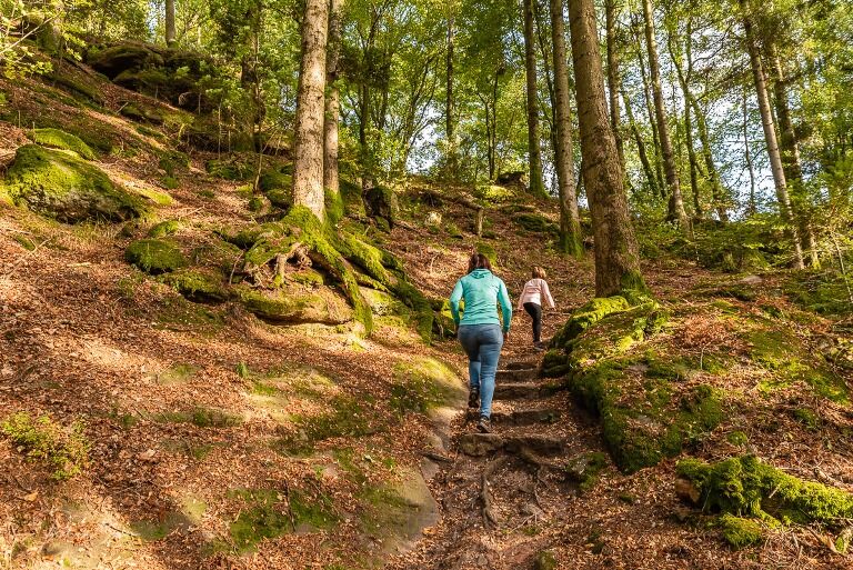
Hiking shoes adapted to the terrain (even for children!).
Telescopic poles (useful for stability and to relieve the joints).
Mobile phone and spare battery if needed.
Check the general and local weather, ensuring the absence of precipitation
Find out about the approach walk, the height of the route, travel time, possible escape (IGN map, GPS, guidebook, etc.).
Assess possible risks by consulting mountain professionals, refuges, lodges.
Inform a close contact of your objective and contact them in case of changes: departure and return times, number of participants with each phone number, vehicle(s), parking.
Avoid going alone, use equipment appropriate to the activity, adjusted and in good condition, headlamp, complete first aid kit, survival blanket, etc.
Dabo
www.fluo.eu
Free parking on site
Priljubljeni izleti v okolici
Hiking circuit B02: The Mutzig rock and the Porte de Pierre
srednjaPohodništvo 10,9 kmCrossing of the Vosges Massif - Stage 06 - Saverne - Wangenbourg - Engenthal
srednjaPohodništvo v daljavo 25,7 kmCrossing of the Vosges Massif - Stage 07 - Wangenbourg-Engenthal - Urmatt
srednjaPohodništvo v daljavo 17,6 kmSaint-Vit Cave route
srednjaPohodništvo 11,6 km- 5,0
Circuit of the Baerenloch washhouse
srednjaPohodništvo 19,1 km Micro Aventure 3 Traversée du Massif des Vosges - Sur le sentier enchanté
srednjaPohodništvo 42,8 kmMTB Base Route 2 La Suisse d'Alsace
srednjaMountainbike 29,2 kmMountain Bike Base Circuit 1 La Mossig
svetlobaMountainbike 20,1 kmHiking Towards the Giants of Nideck - Symposium
srednjaPohodništvo 6,54 kmLoop of Geissfels starting from Reinhardsmunster
srednjaPohodništvo 6,85 km
Pohodništvo in sledenje


Ne zamudite ponudb in navdiha za naslednje počitnice
Vaš e-poštni naslov je bil dodan na poštni seznam.