







MTB Base Route 2 La Suisse d'Alsace

Stopnja težavnosti: S1
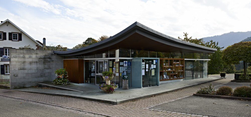
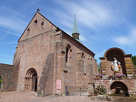
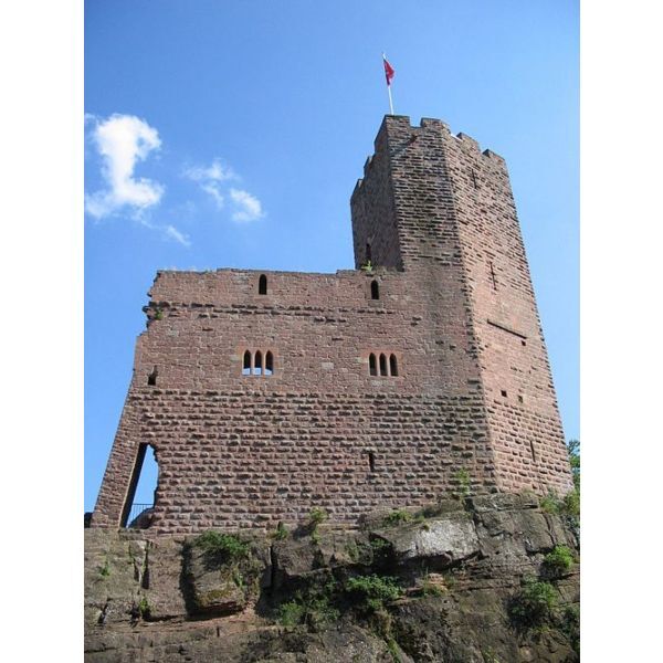
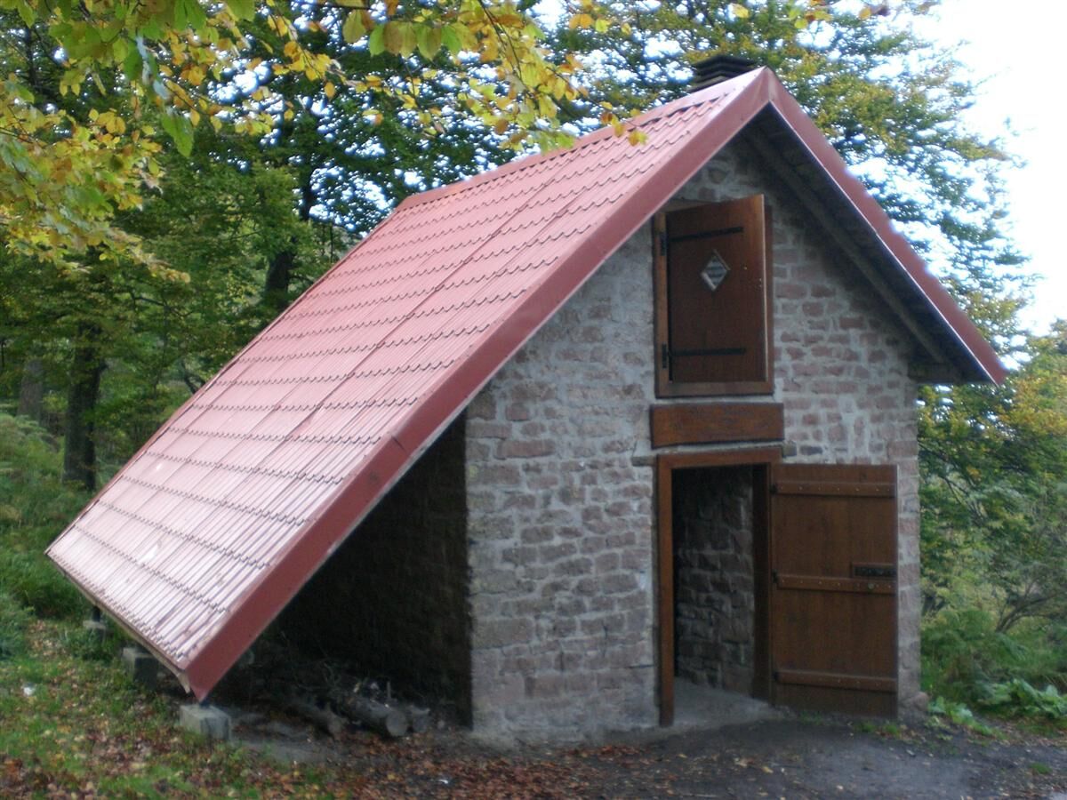
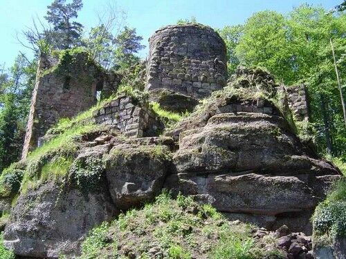

Departure Wangenbourg (Tourism Office Parking): Panoramic view of the Schneeberg Massif - Top of the Staircase, South Panorama Route, La Flohutte (shelter) – Col des Pandours - Ameisenthal – Kittelfels - Freudeneck Castle - Rottfels - Obersteigen (chapel) - Goldbrunnen Fountain, Rosskopf (MF) - Top of the staircase - 5th Army Square -
Wearing a helmet is strongly recommended
Safety Instructions
Emergency number: 112
Mountain biking as you want! but…
Use the marked trails for your safety and respect the direction of itineraries
Do not overestimate your abilities and keep control of your speed
Be careful and courteous when overtaking or crossing hikers as pedestrians have priority
Check the condition of your MTB and bring supplies and repair tools
If you go alone, leave your route with someone close to you
Respect private property and agricultural areas
Be cautious of agricultural and forestry machinery
Close gates
Avoid picking wild flowers, fruits, and mushrooms
Do not disturb the peace of wild animals
Take your trash with you, be discreet and respectful of the environment
Wangenbourg
www.fluo.eu
Free parking at 5th Army Square - Tourism Office
S1
Mossig et Vignoble Tourism Office
67710 Wangenbourg Engenthal
Tel: 03 88 87 33 50
contact@mossig-vignoble-tourisme.fr
Priljubljeni izleti v okolici
-
Bike route: EuroVelo5 Via Romea. Saarbrücken – Strasbourg – Basel
srednjaKolesarjenje na dolge razdalje 388.7 km -
Hiking circuit B02: The Mutzig rock and the Porte de Pierre
srednjaPohodništvo 10.9 km -
Crossing of the Vosges Massif - Stage 08 - Urmatt - Schirmeck
težkoPohodništvo v daljavo 33.2 km -
Crossing of the Vosges Massif - Stage 06 - Saverne - Wangenbourg - Engenthal
srednjaPohodništvo v daljavo 25.7 km -
Saint-Vit Cave route
srednjaPohodništvo 11.6 km -
Crossing of the Vosges Massif - Stage 07 - Wangenbourg-Engenthal - Urmatt
srednjaPohodništvo v daljavo 17.6 km -
5.0
Circuit of the Baerenloch washhouse
srednjaPohodništvo 19.1 km -
Micro Adventure 3 Crossing of the Vosges Massif - On the enchanted trail
srednjaPohodništvo 42.8 km -
Mountain Bike Base Circuit 1 La Mossig
svetlobaMountainbike 20.1 km -
Hiking Towards the Giants of Nideck - Symposium
srednjaPohodništvo 6.54 km
Pohodništvo in sledenje


Ne zamudite ponudb in navdiha za naslednje počitnice
Vaš e-poštni naslov je bil dodan na poštni seznam.





