




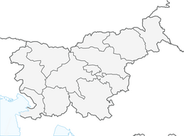


The Walk of Peace

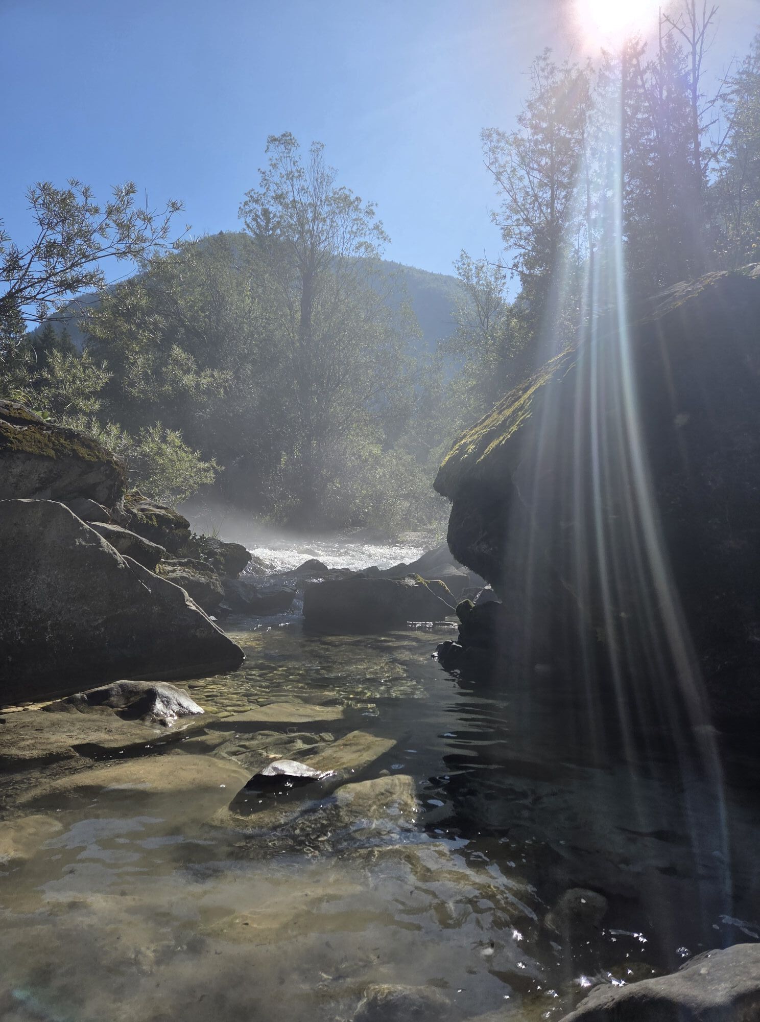
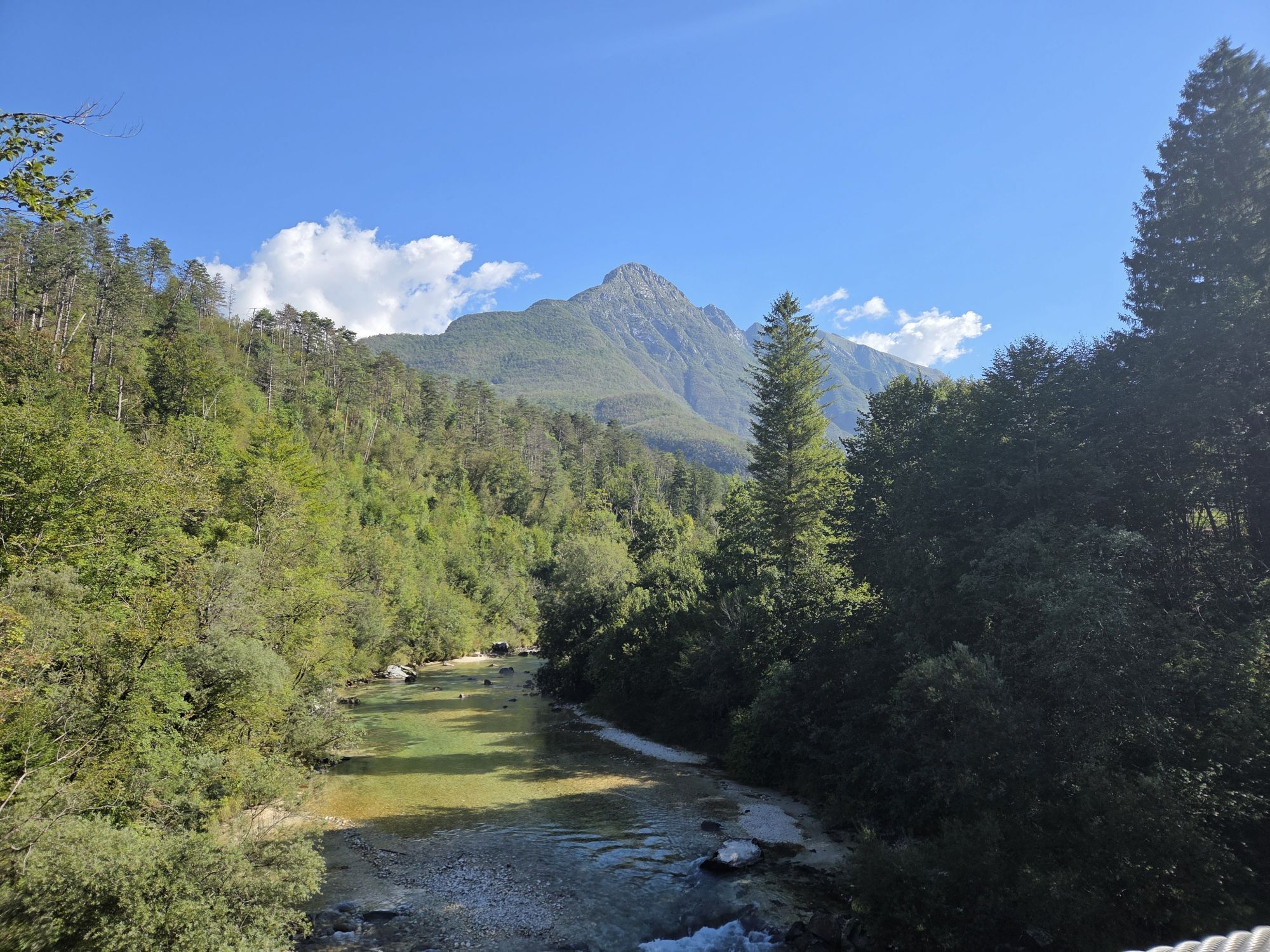
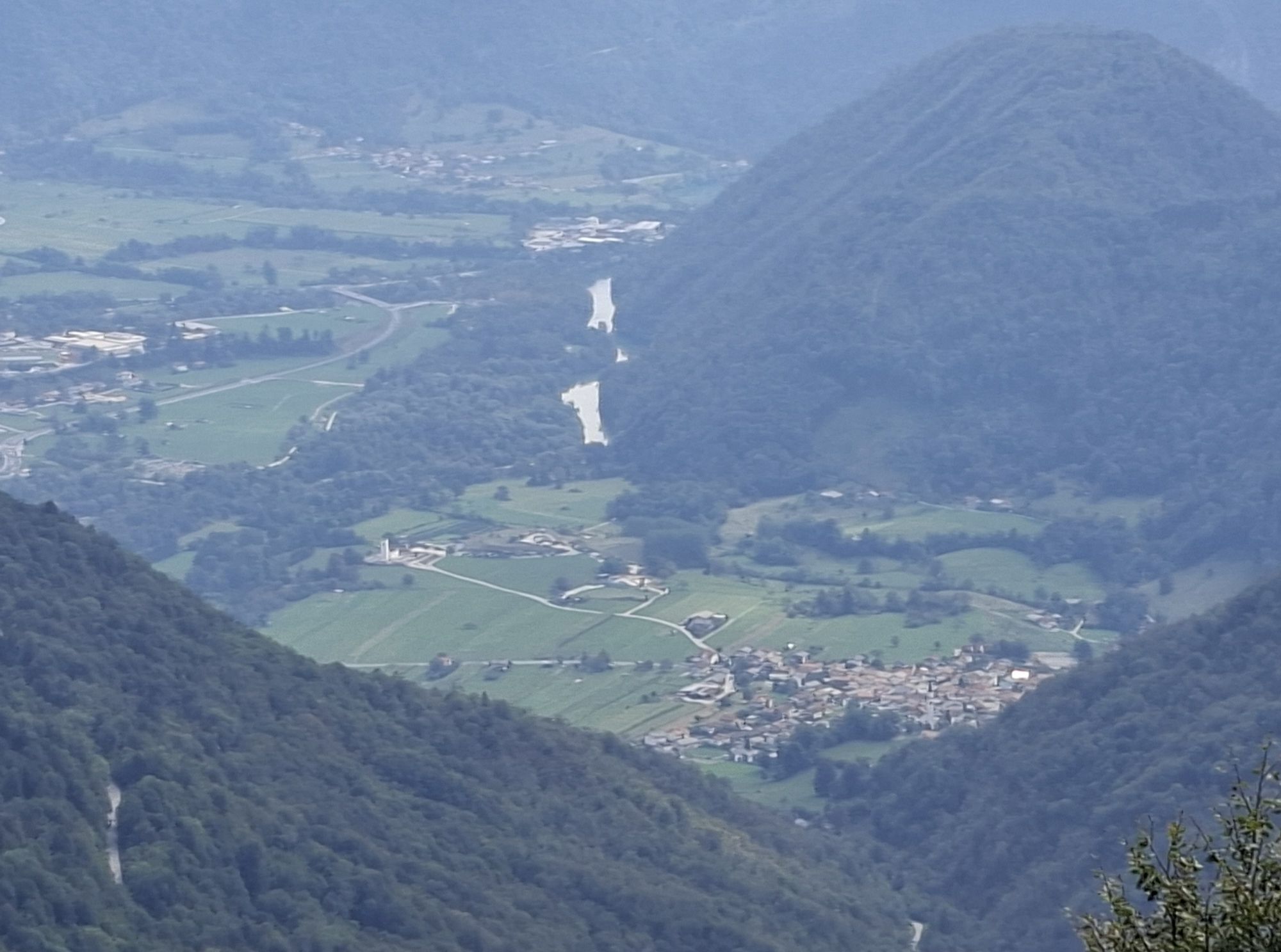
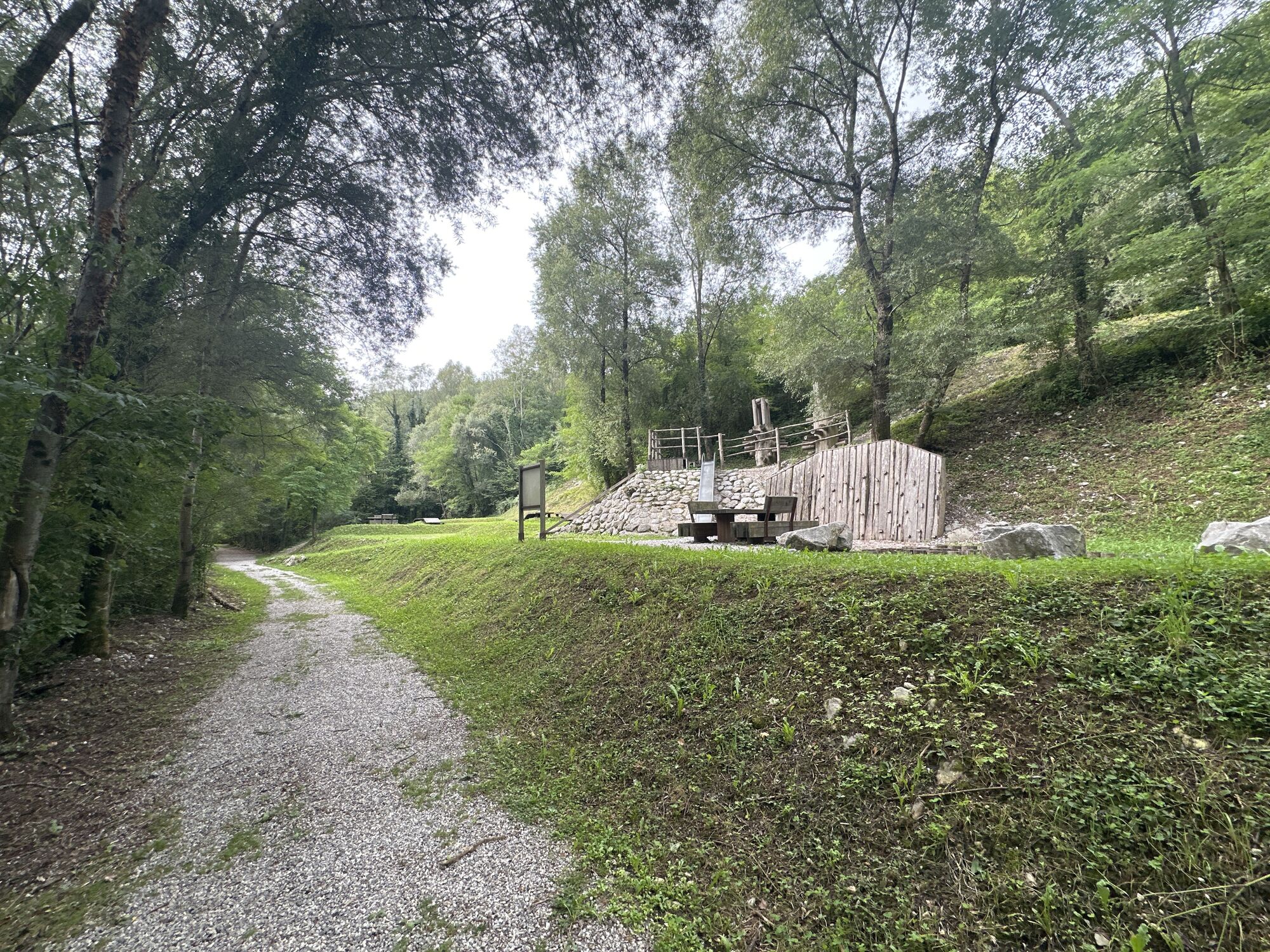
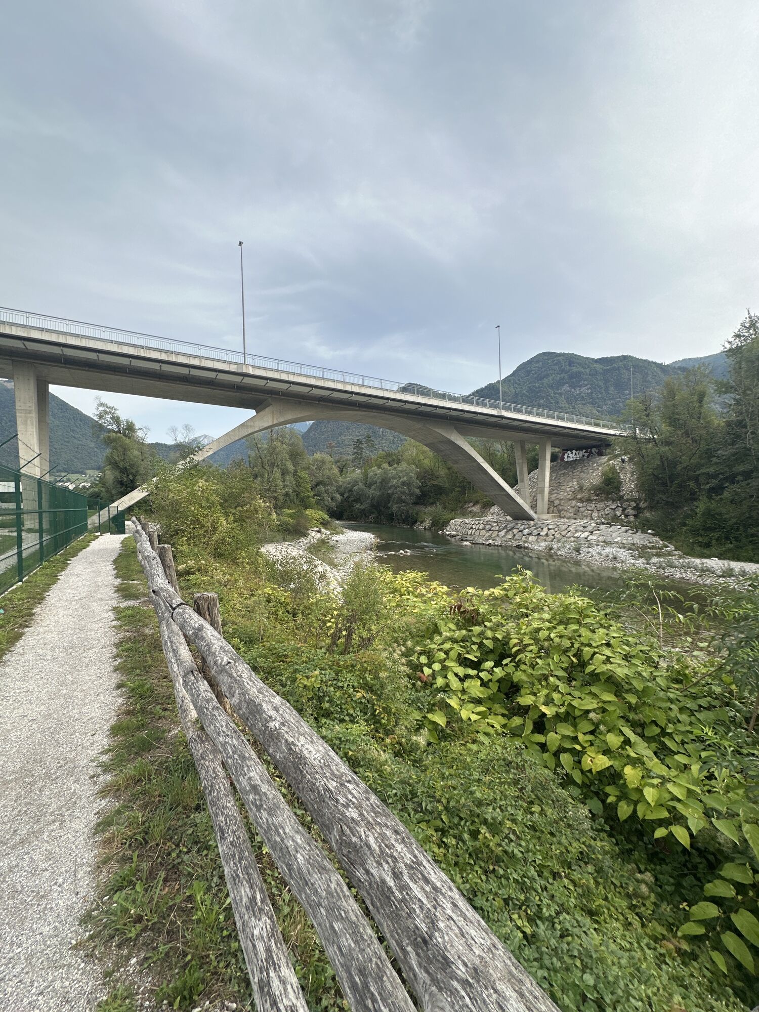
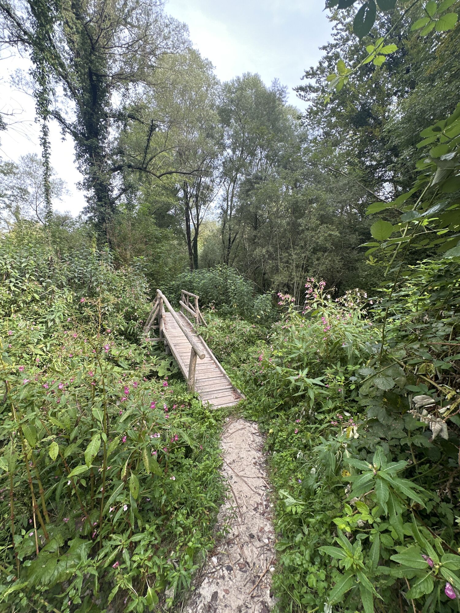
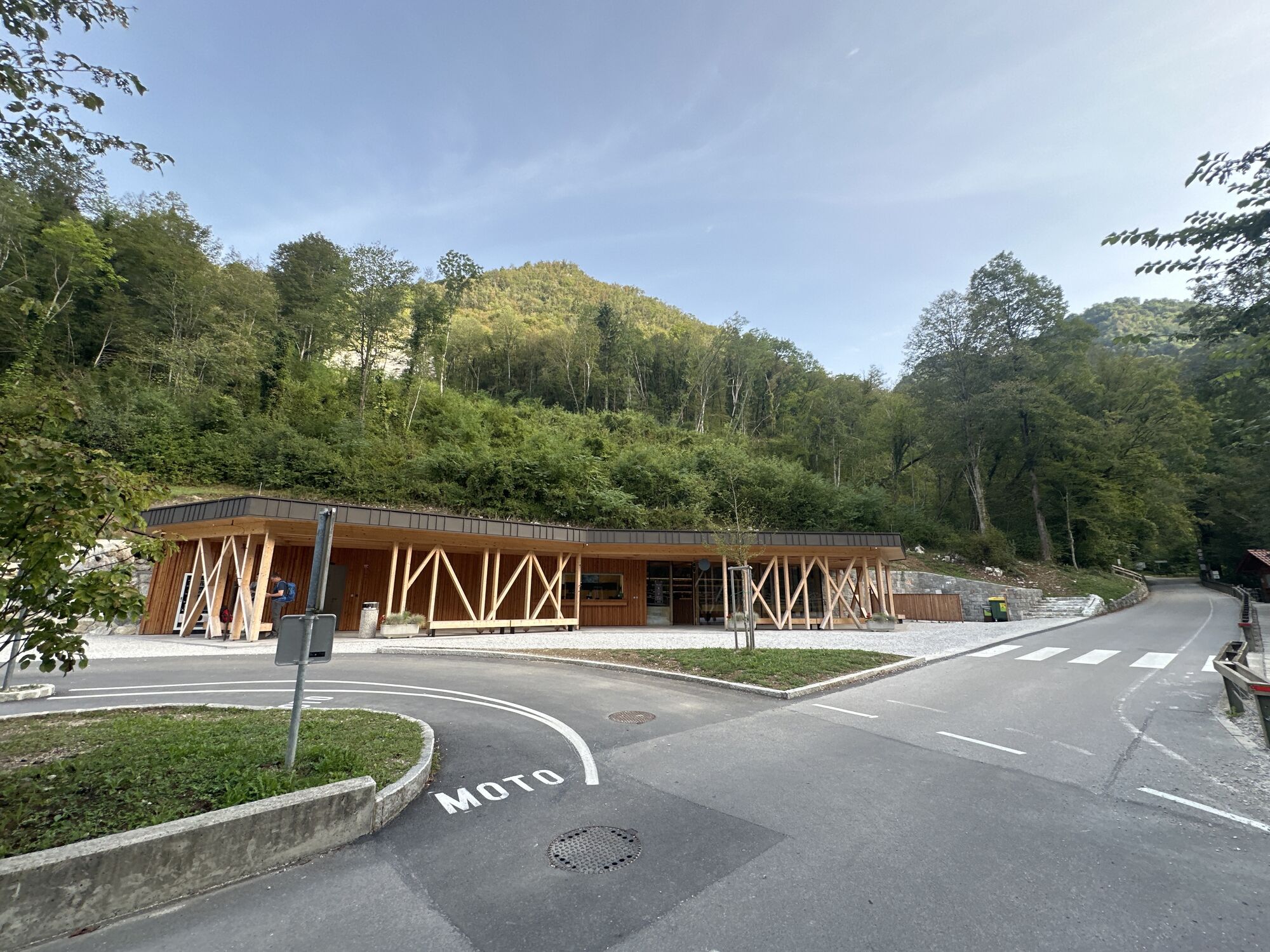
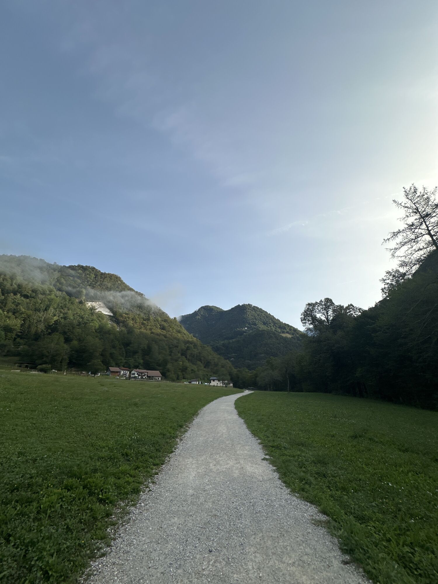
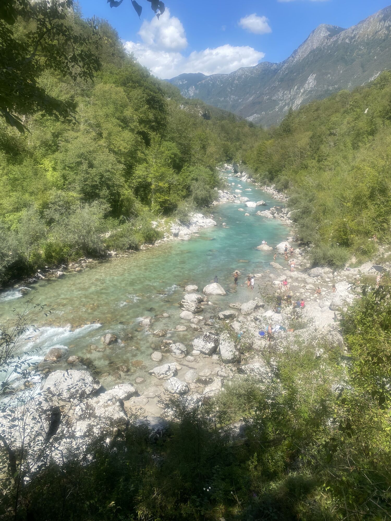
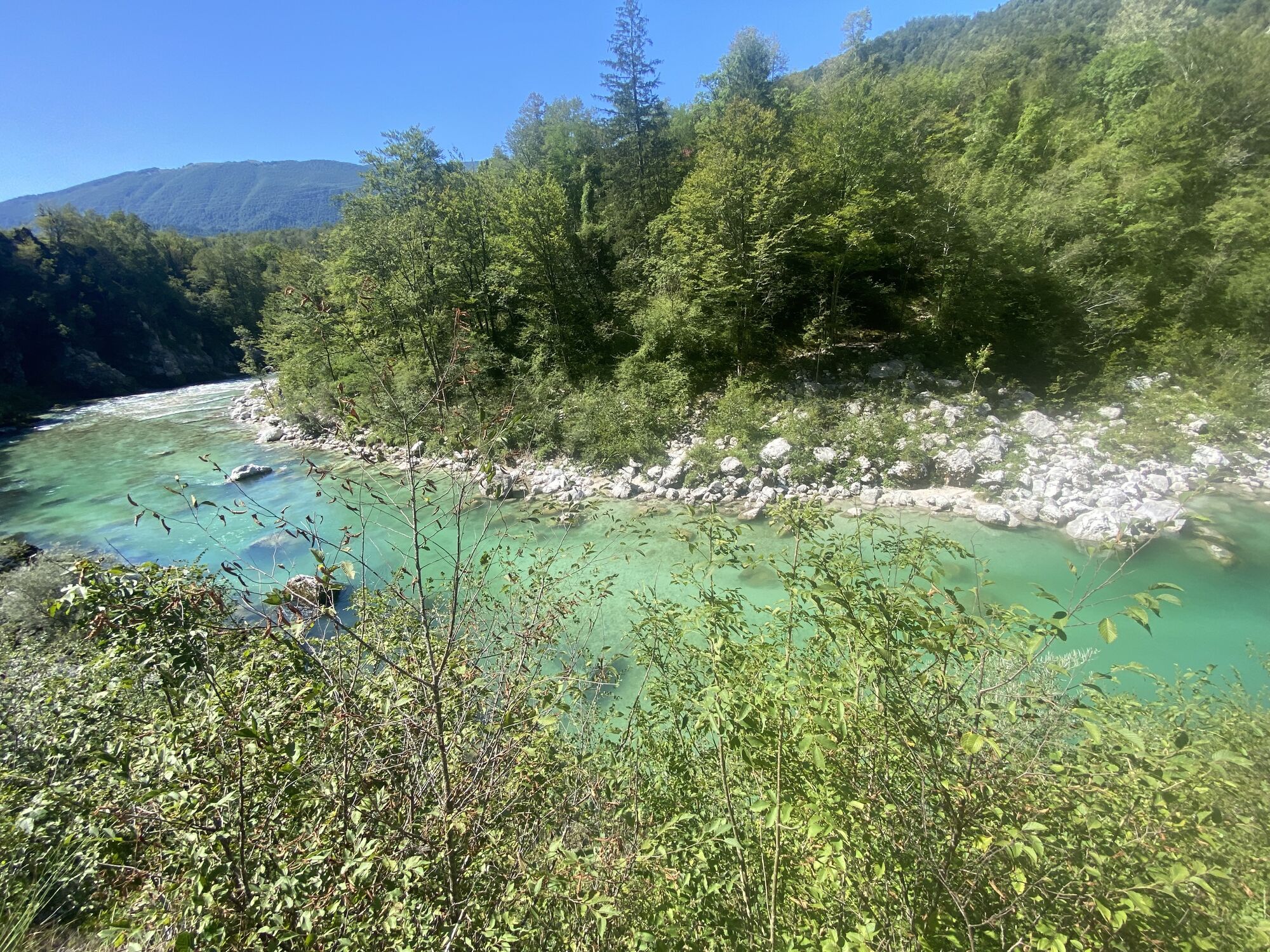
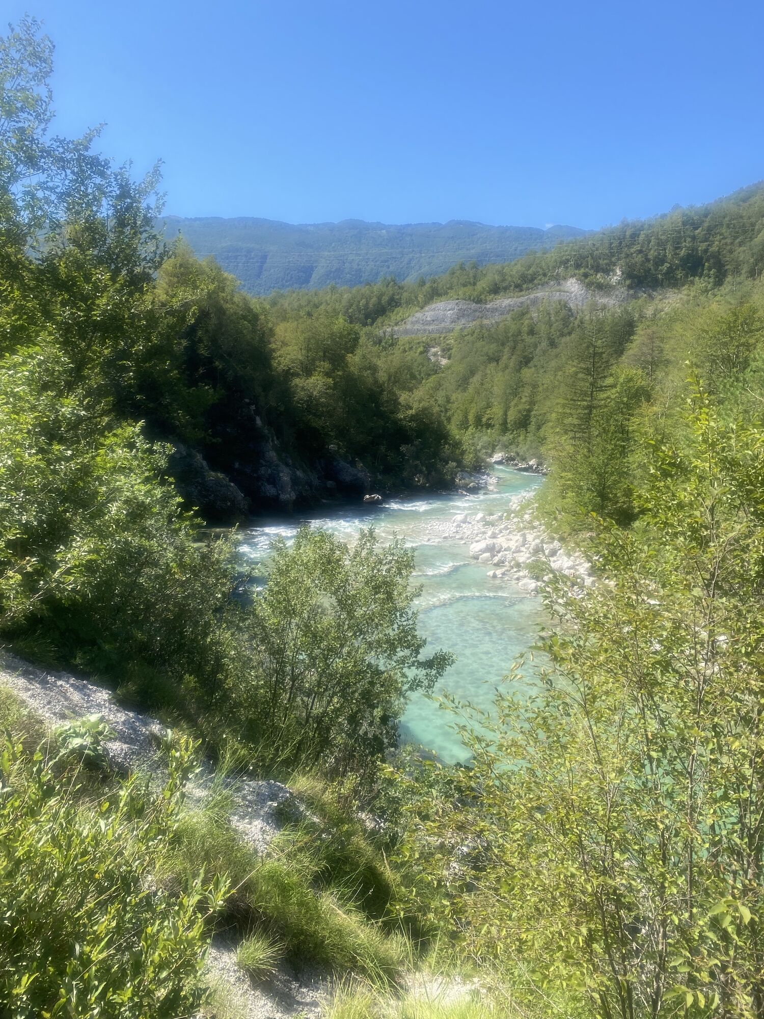
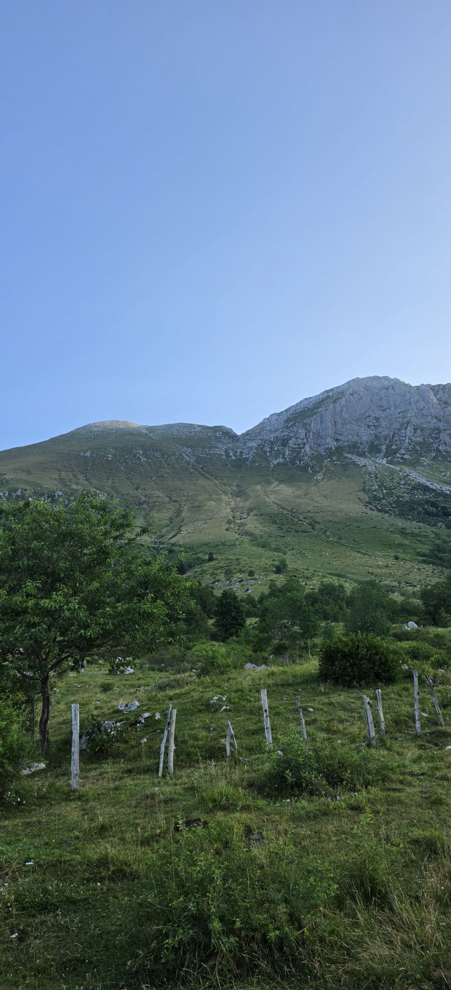
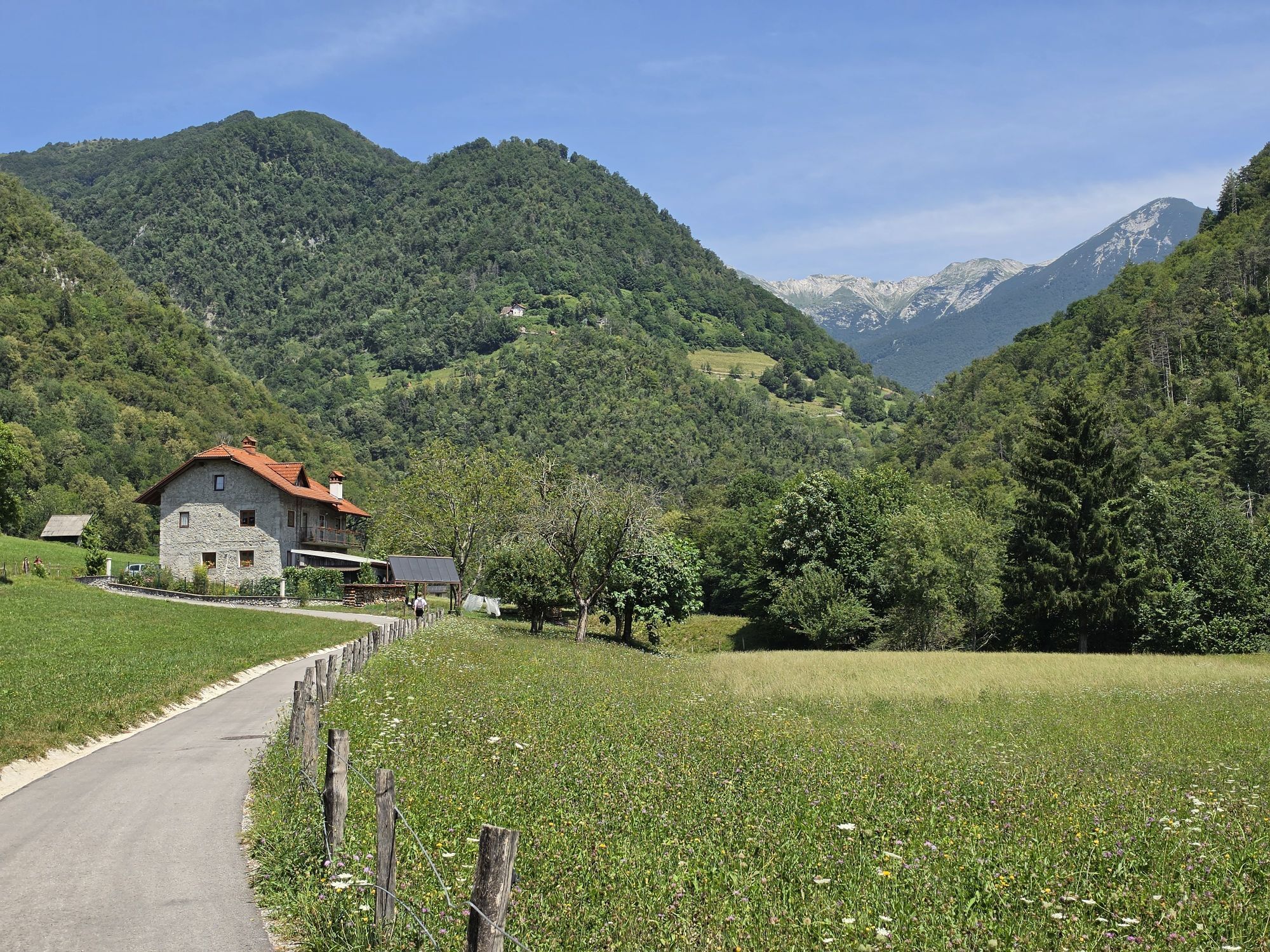
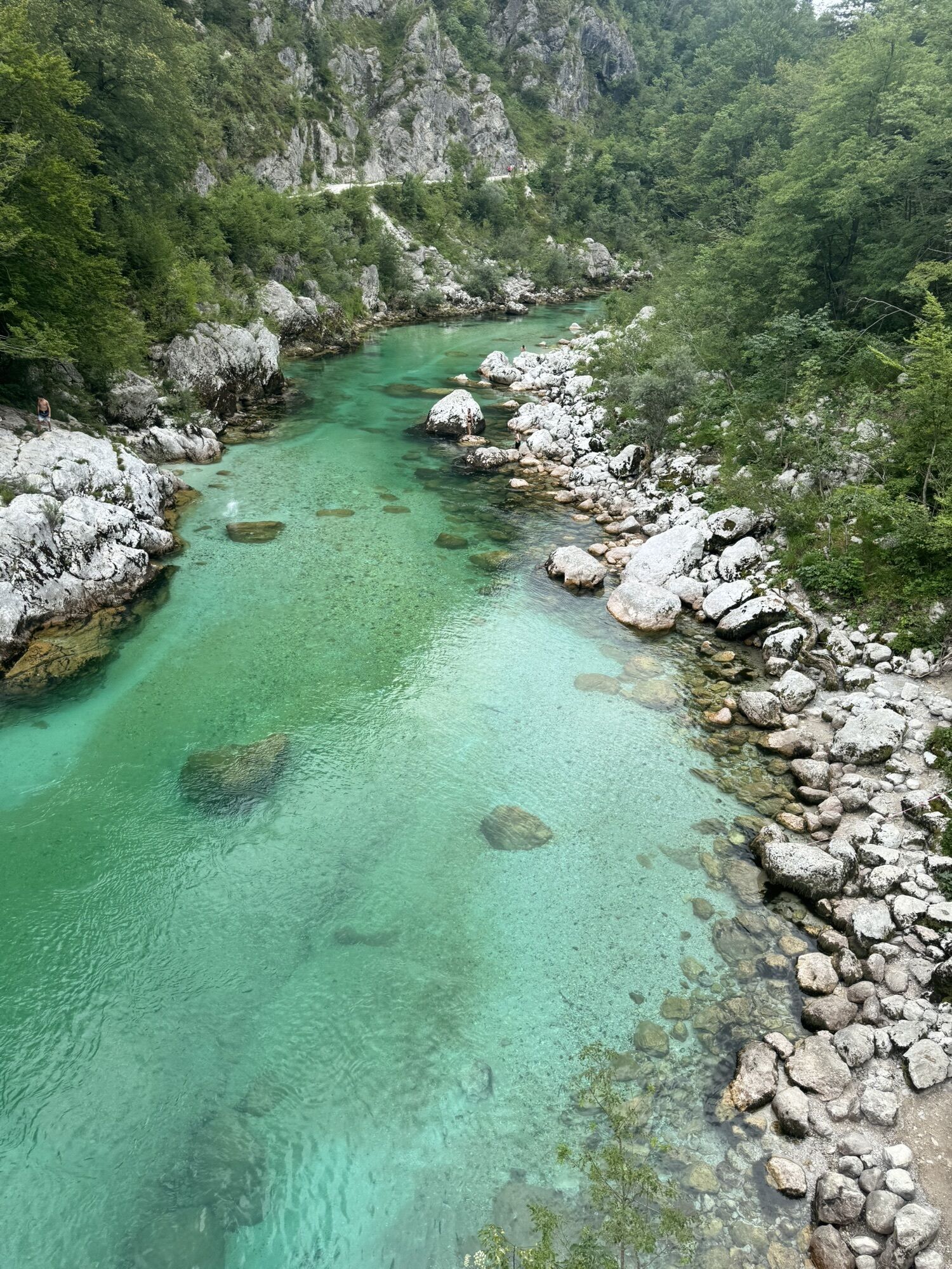
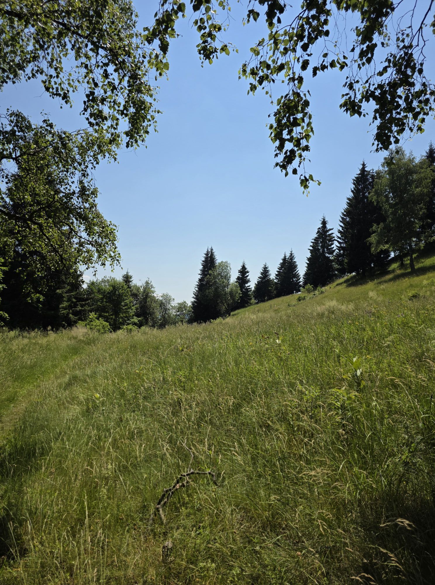
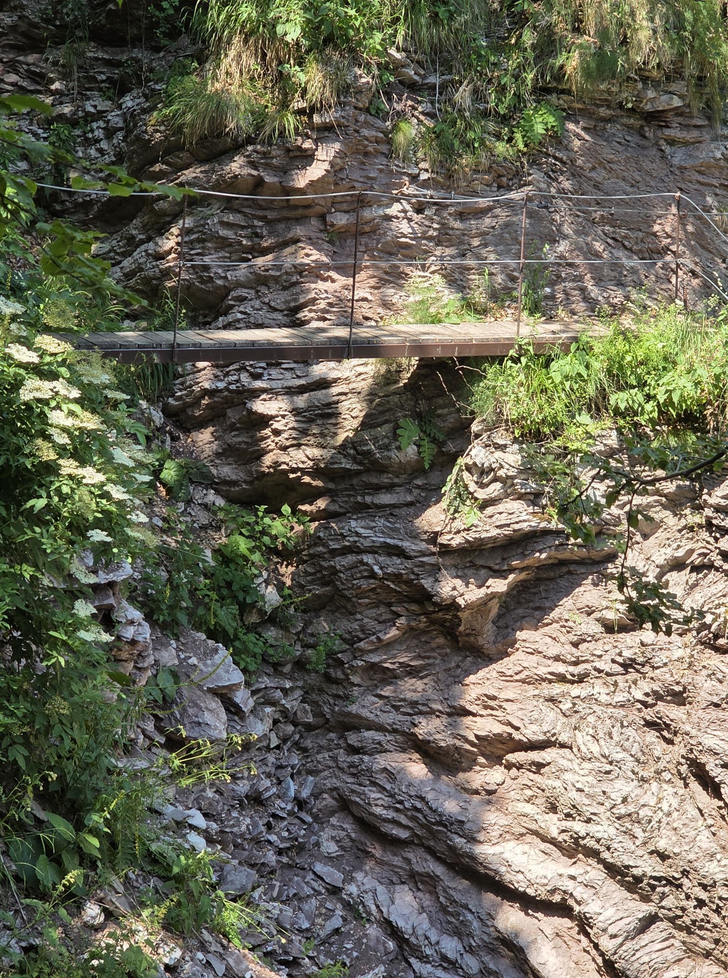
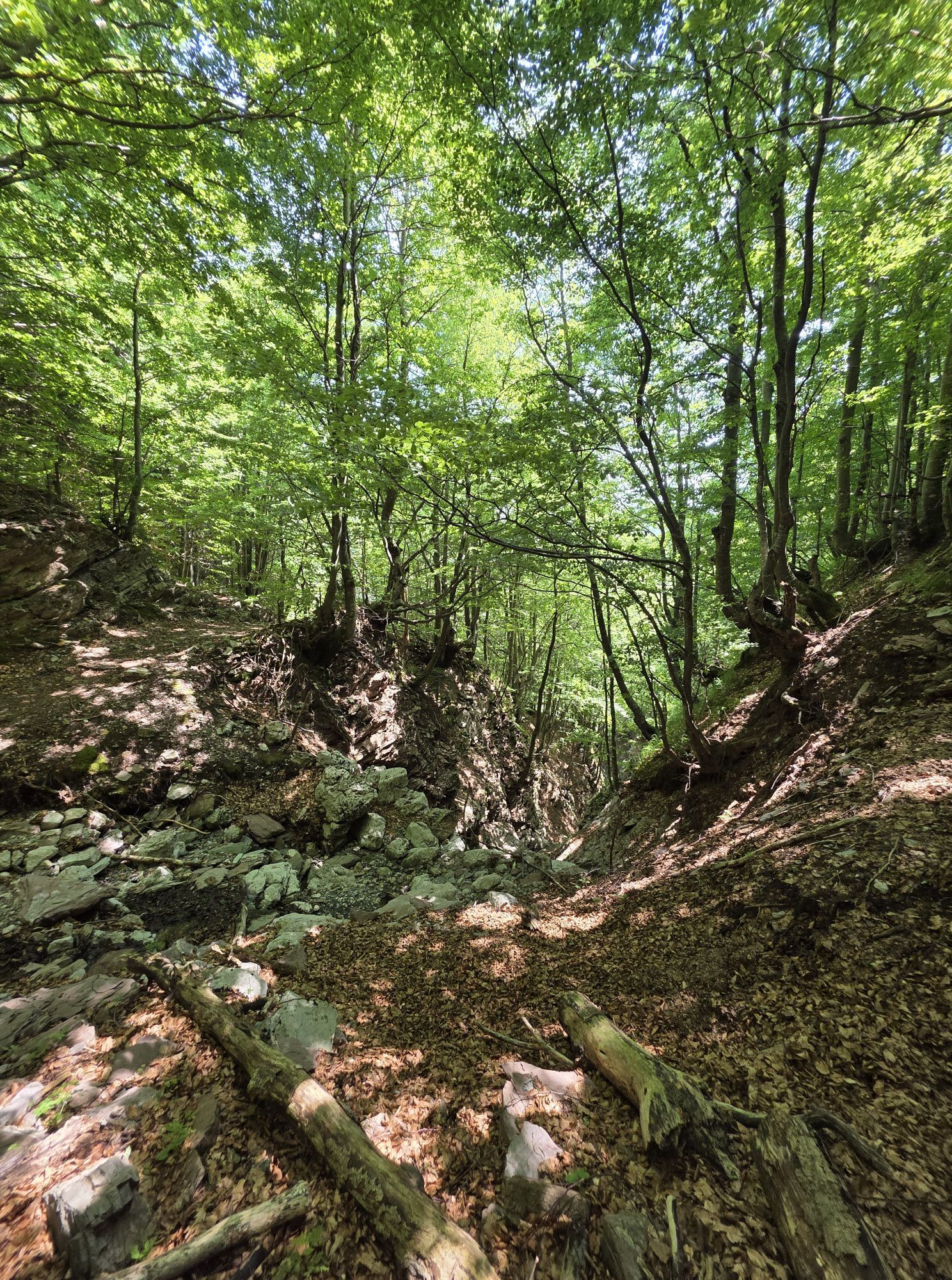
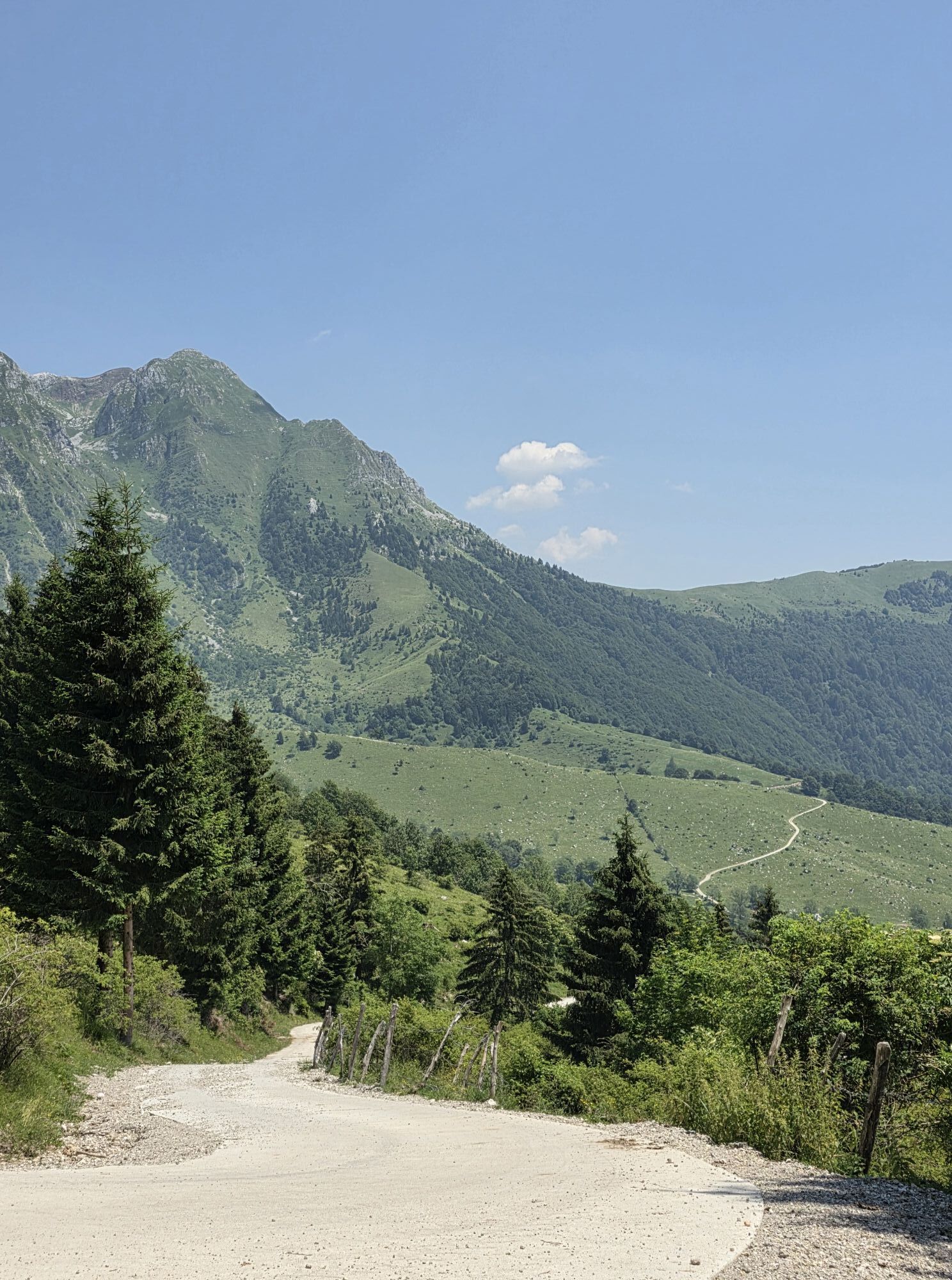
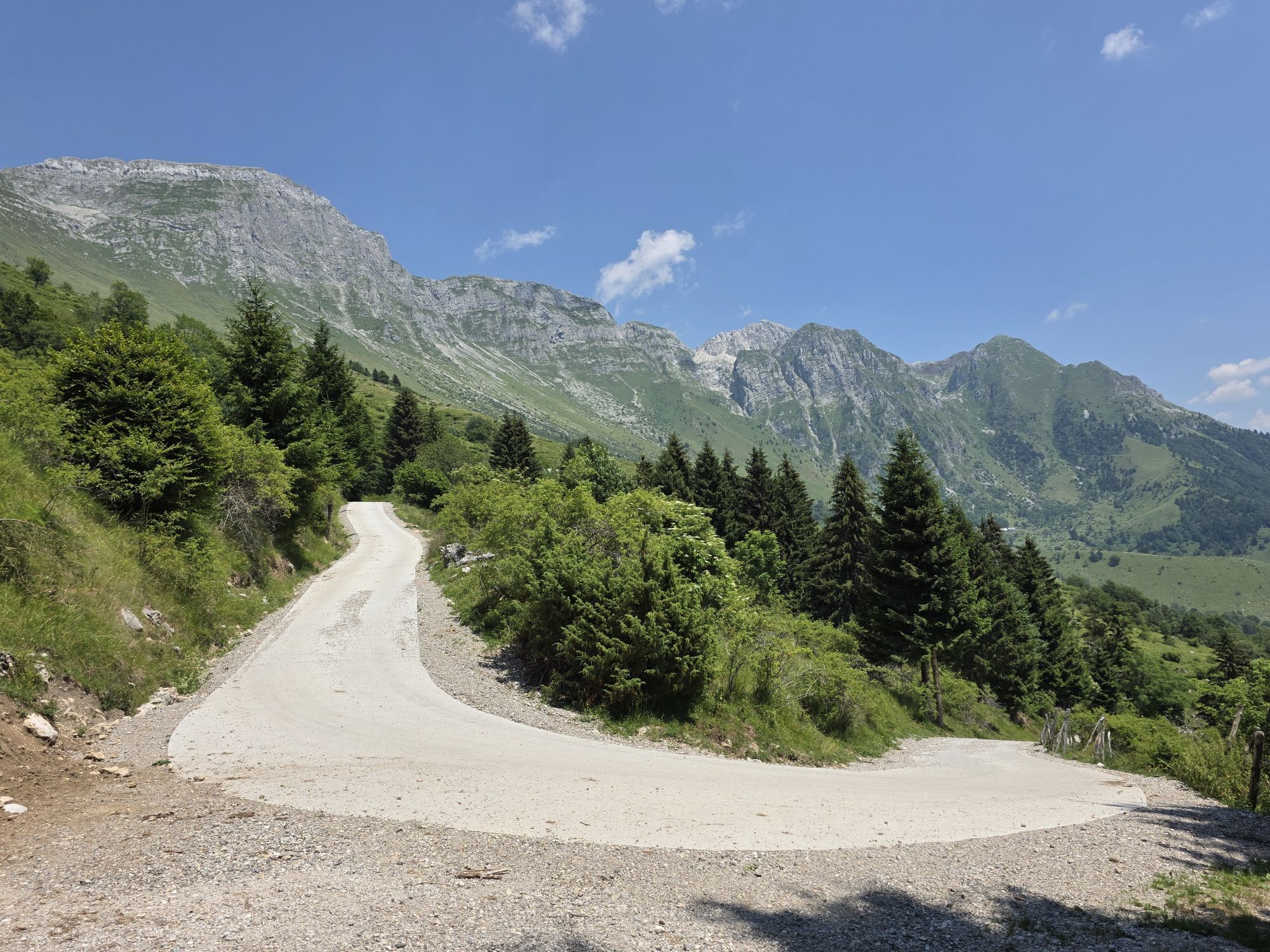
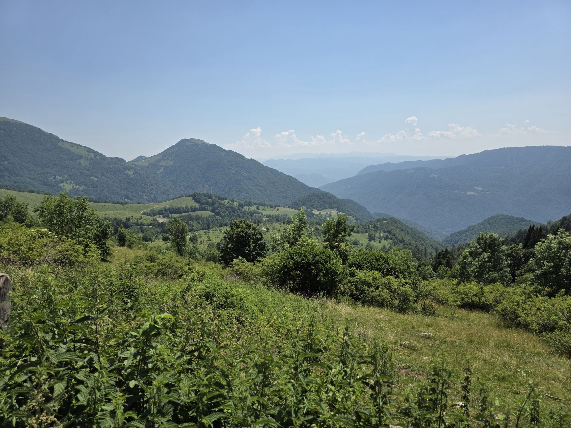
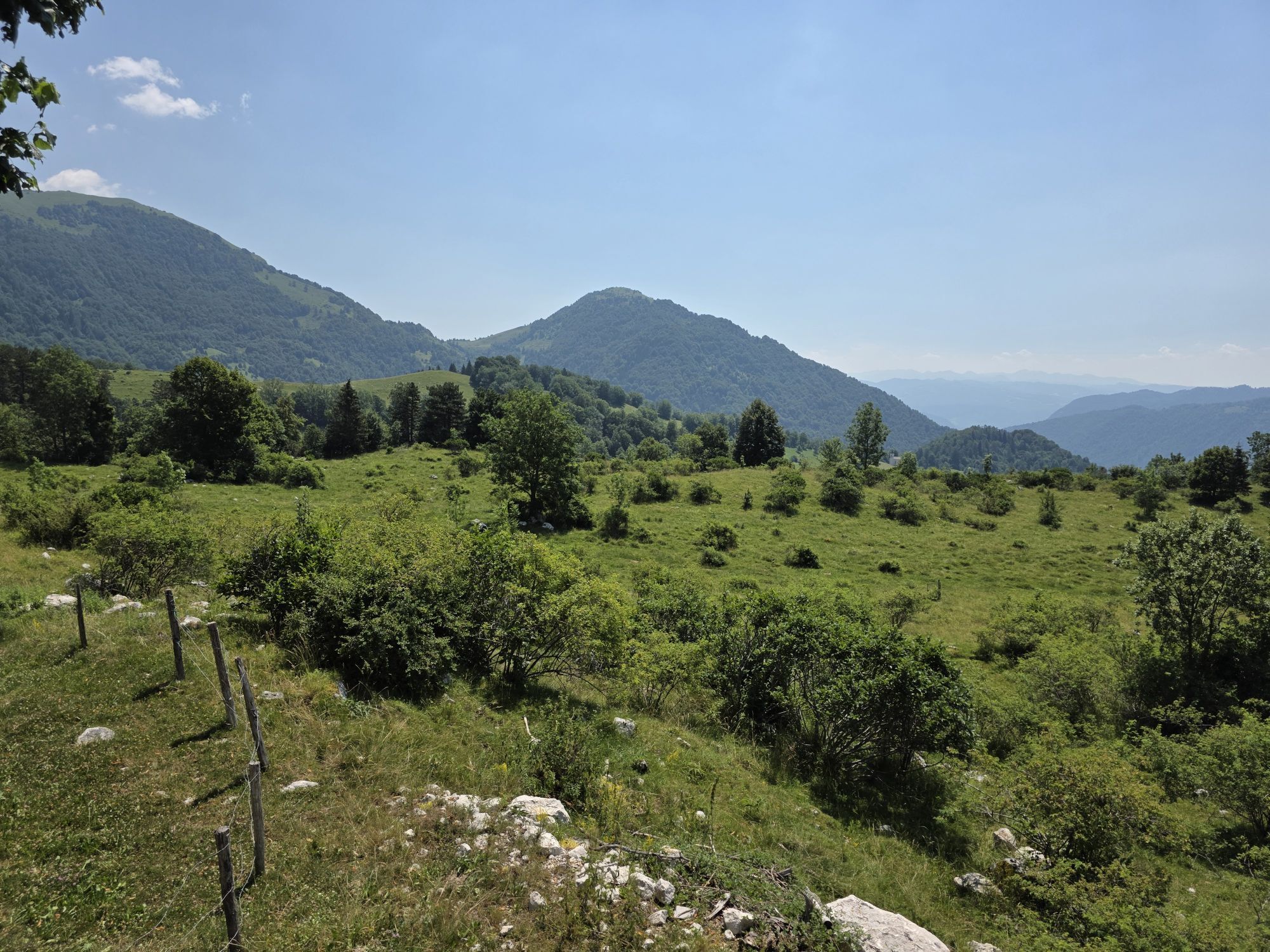
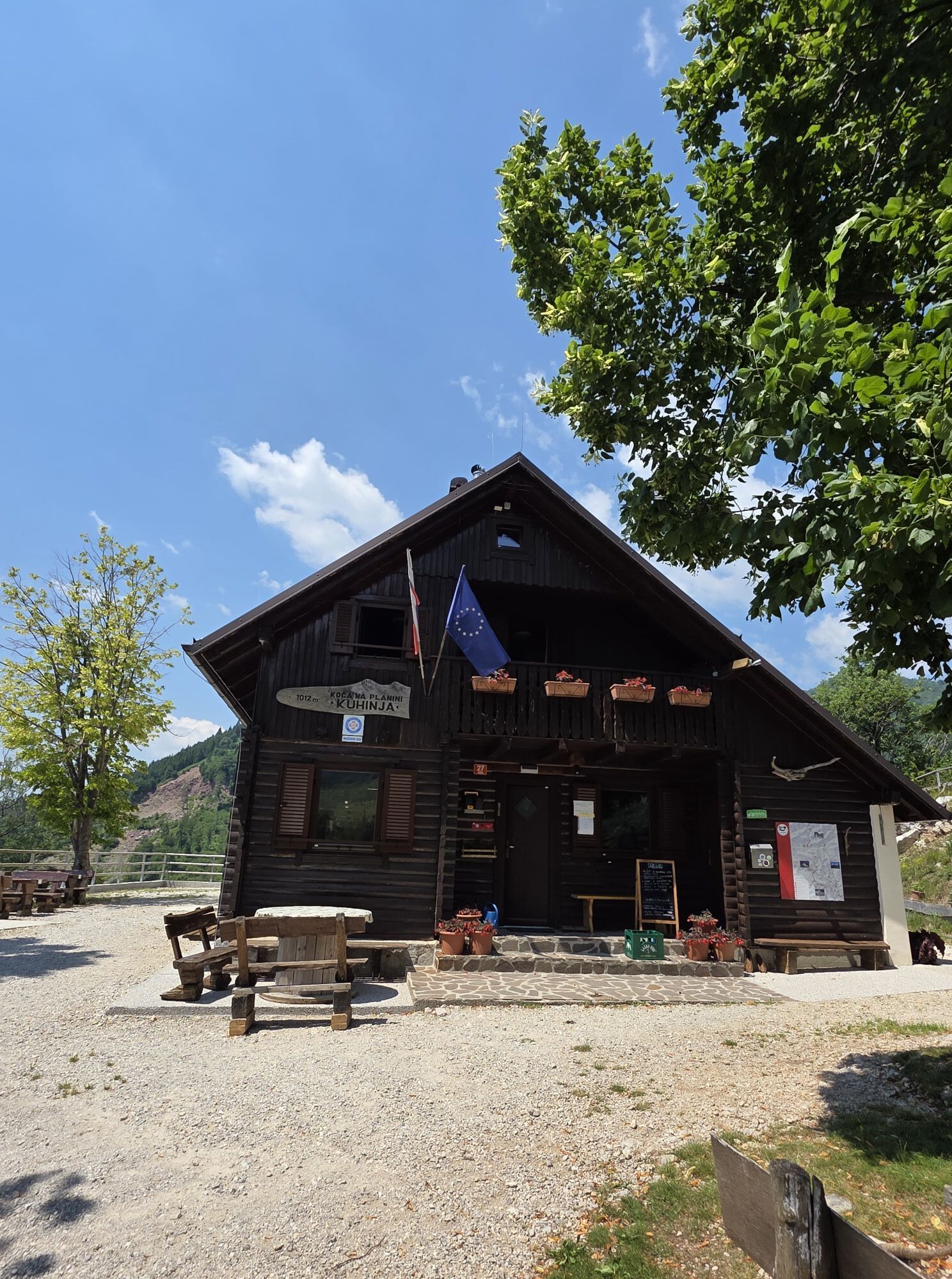
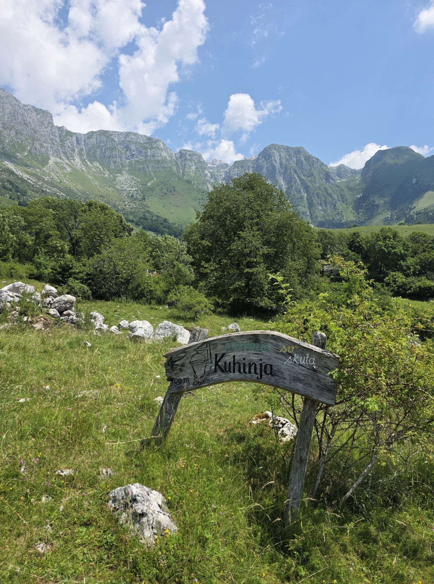
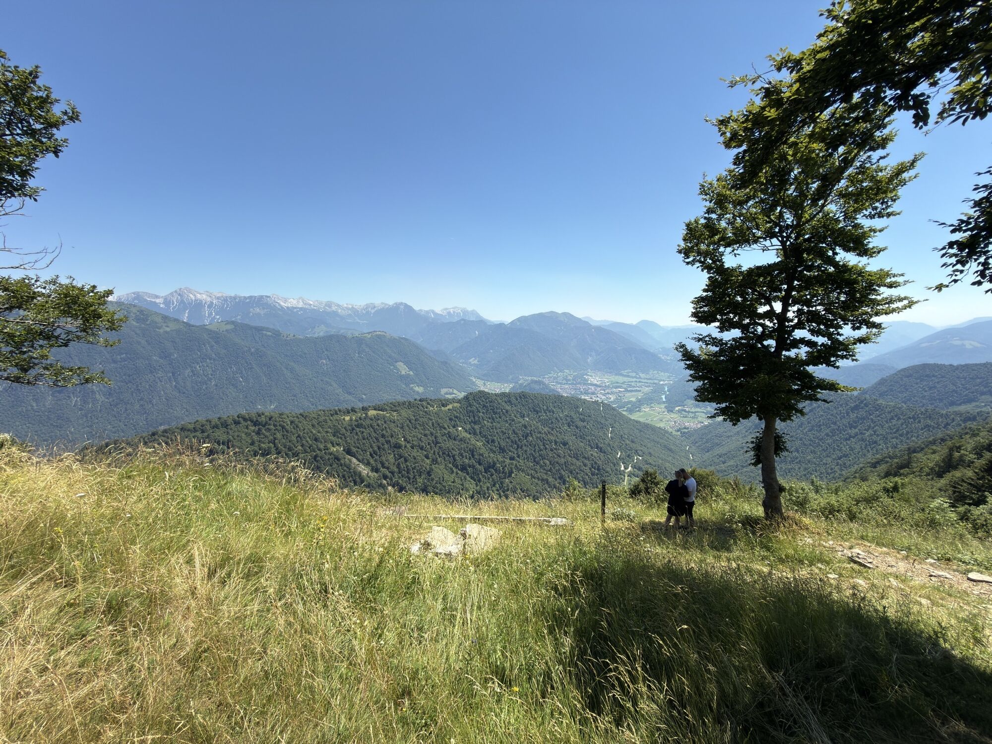
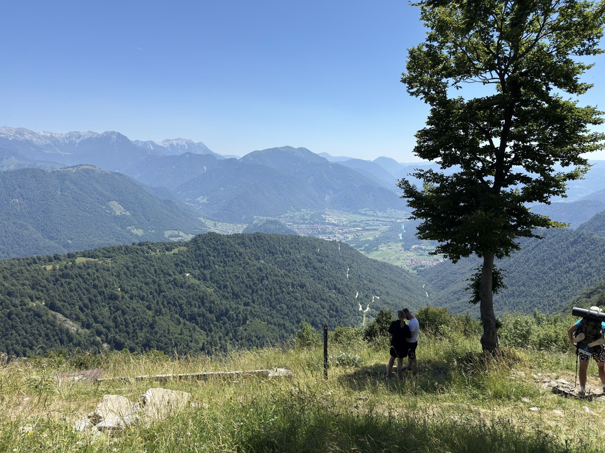
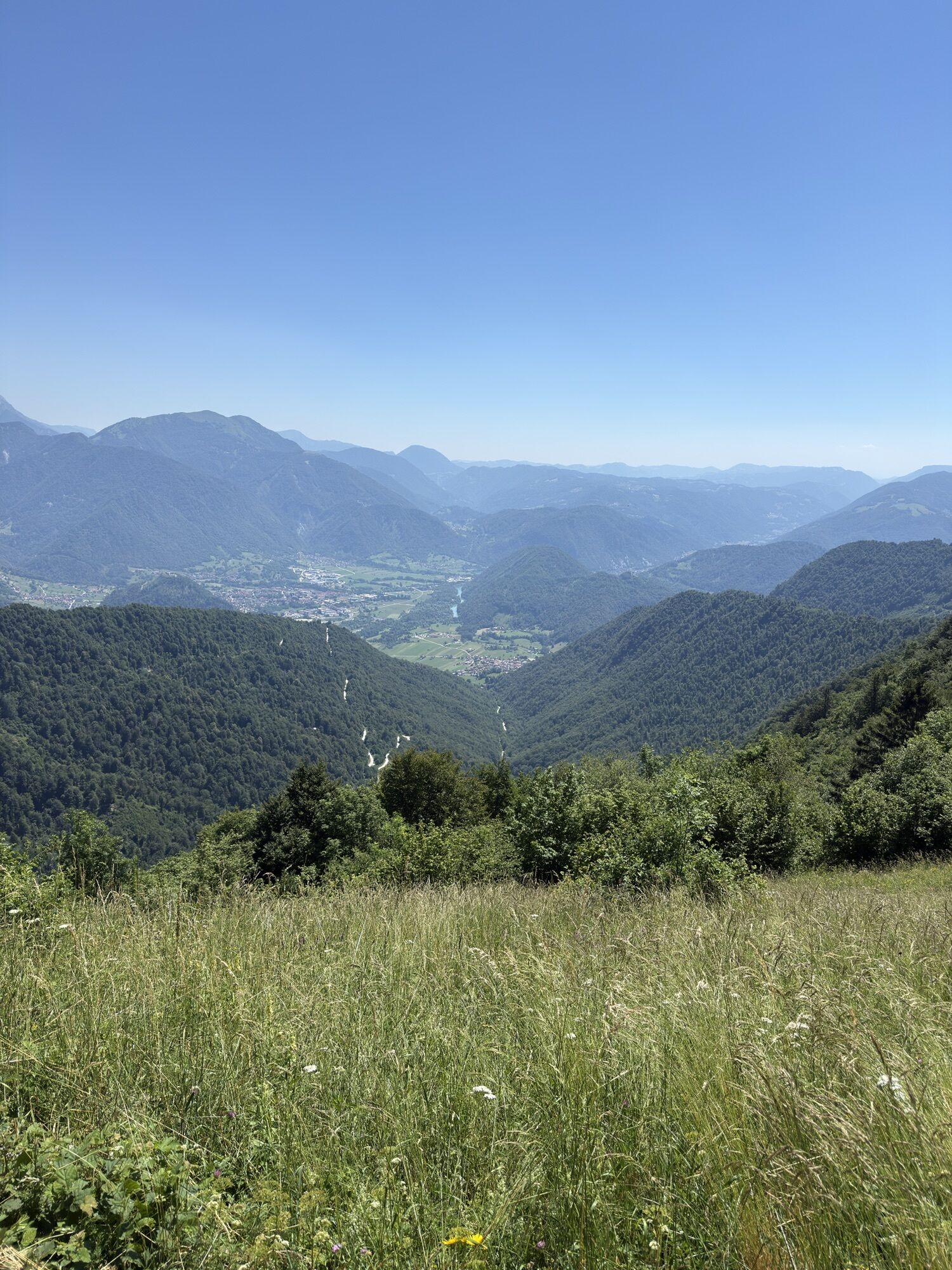
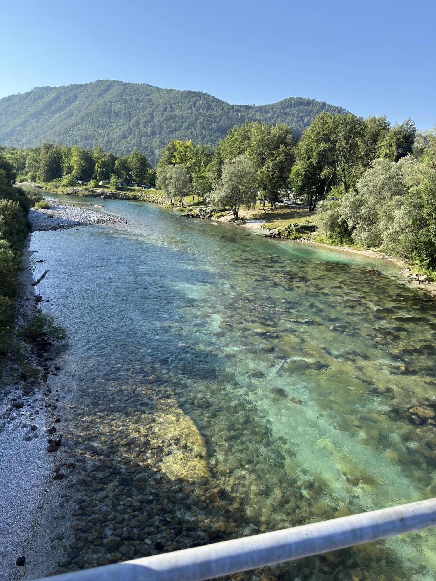
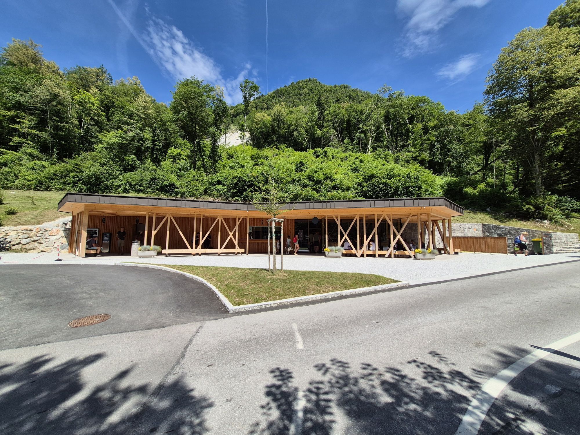
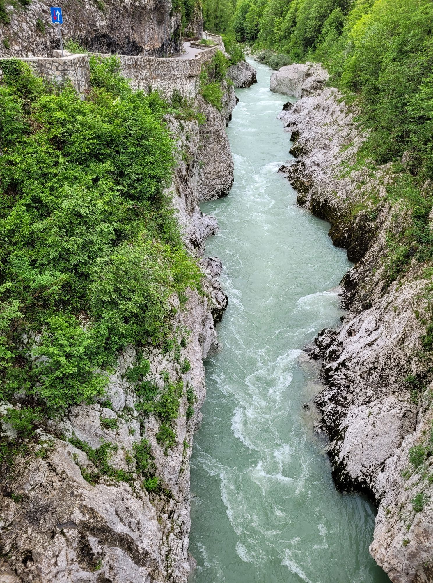
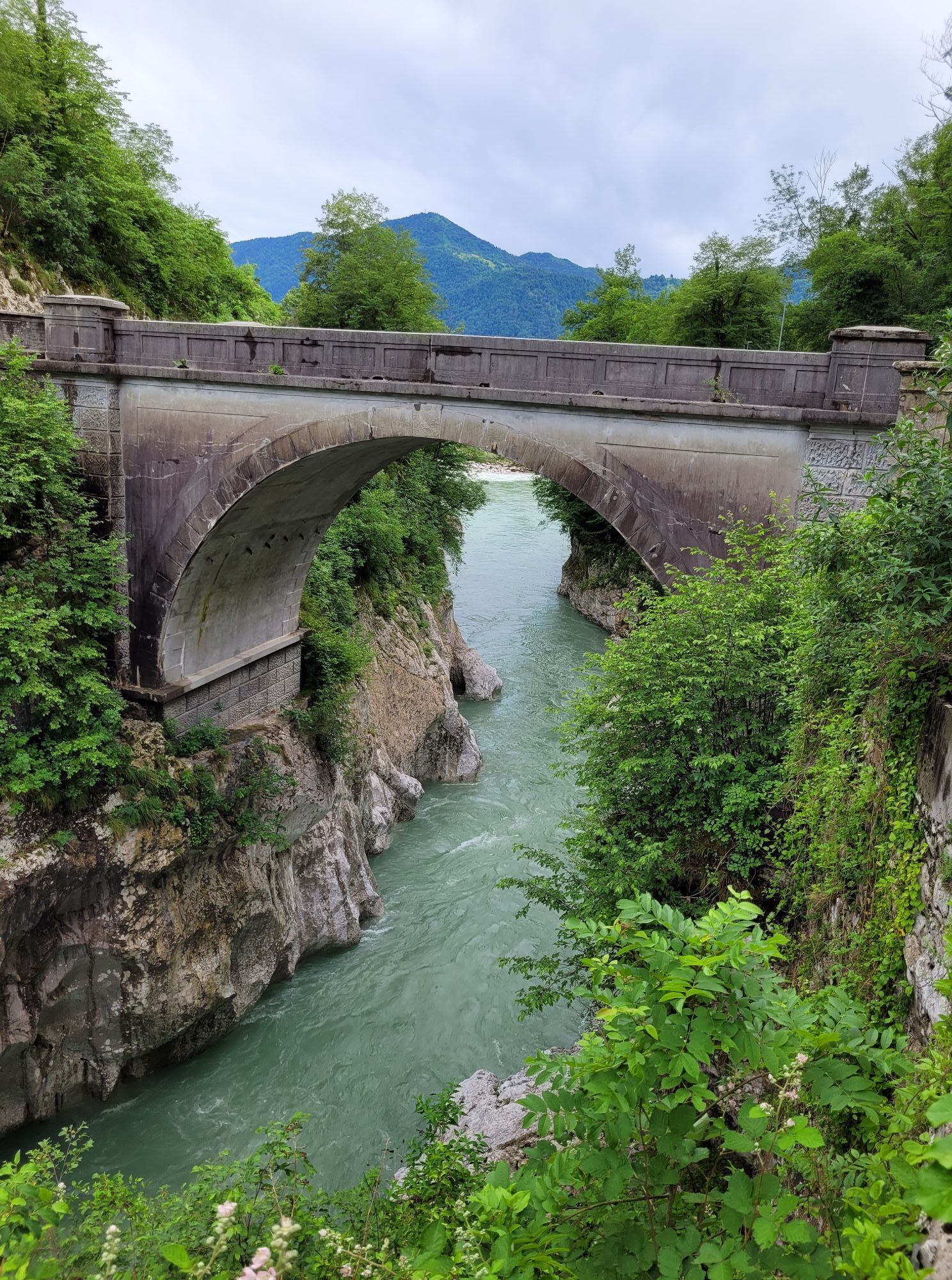
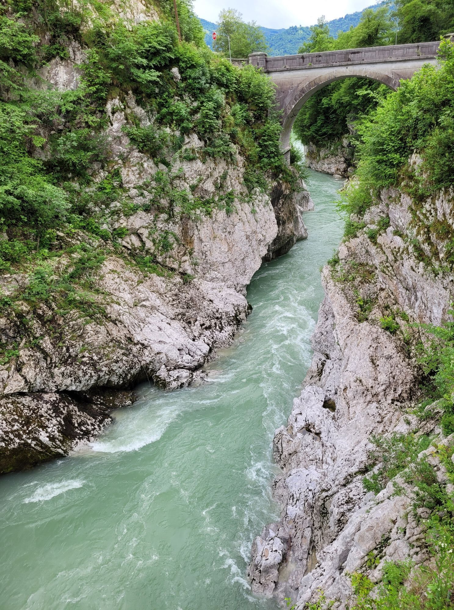
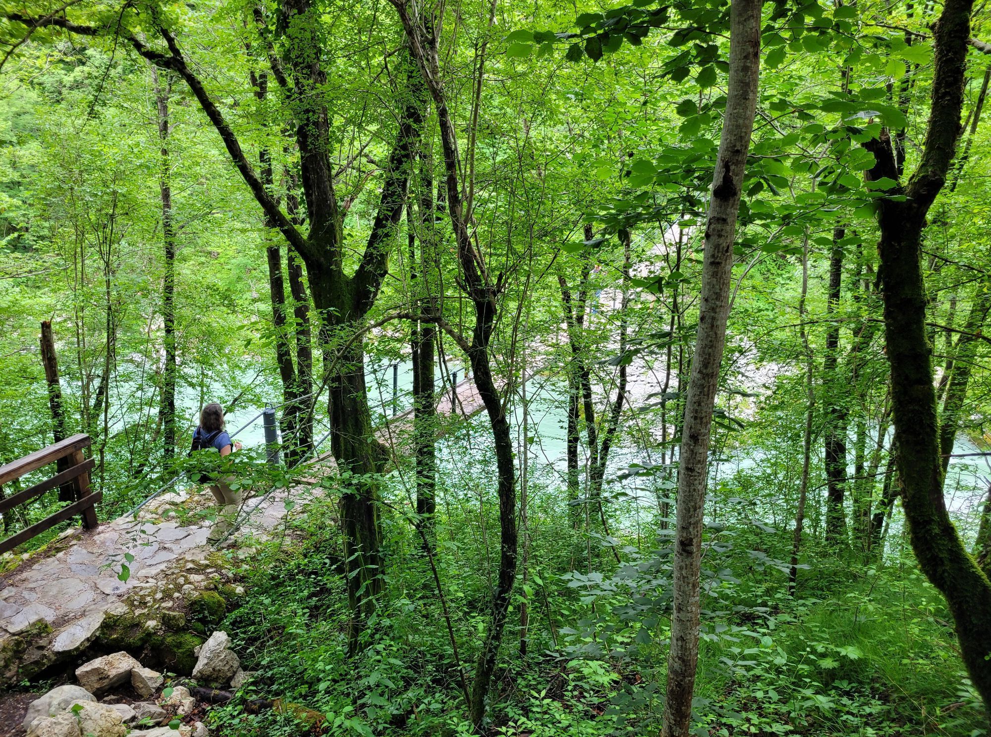
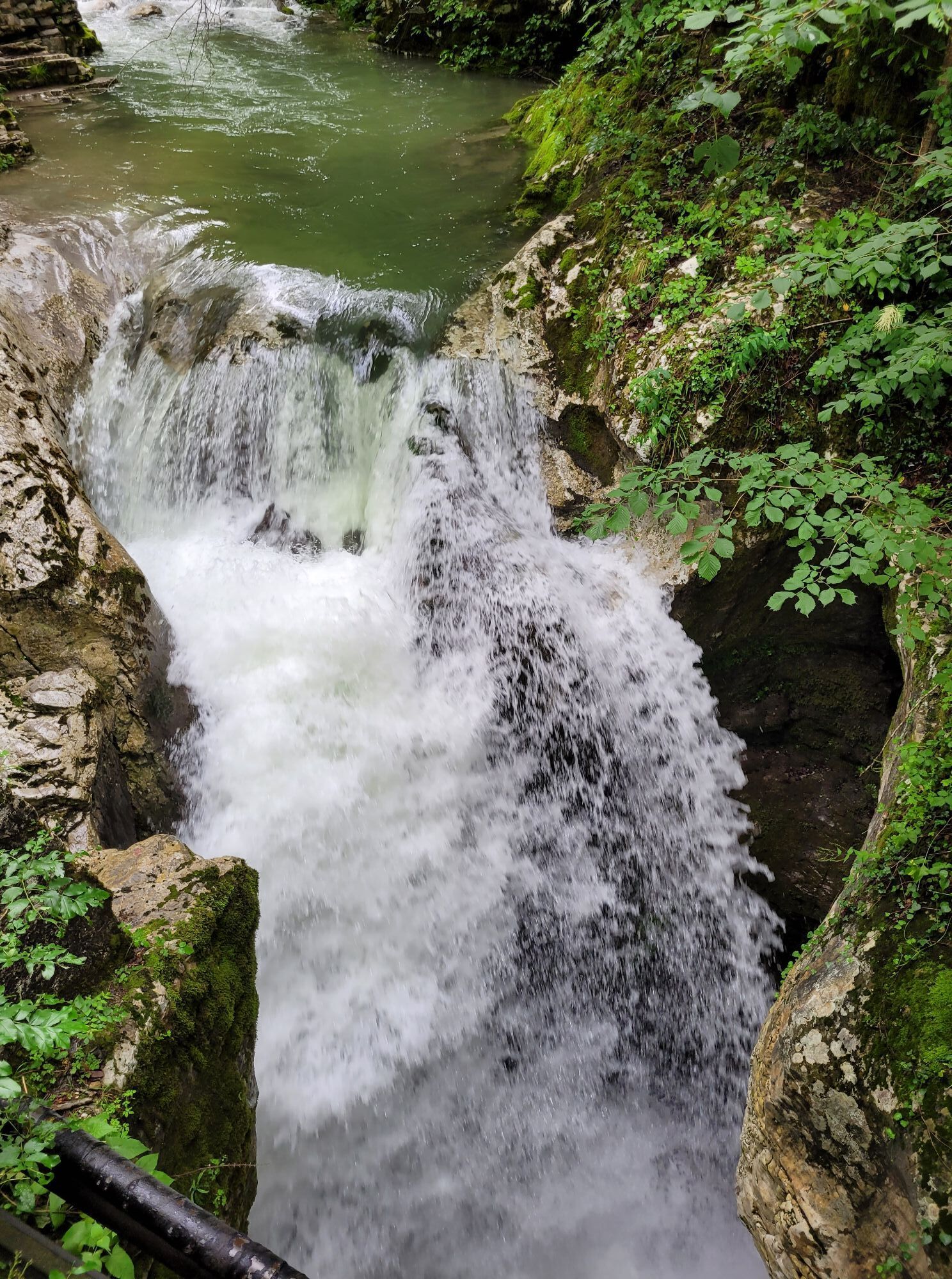
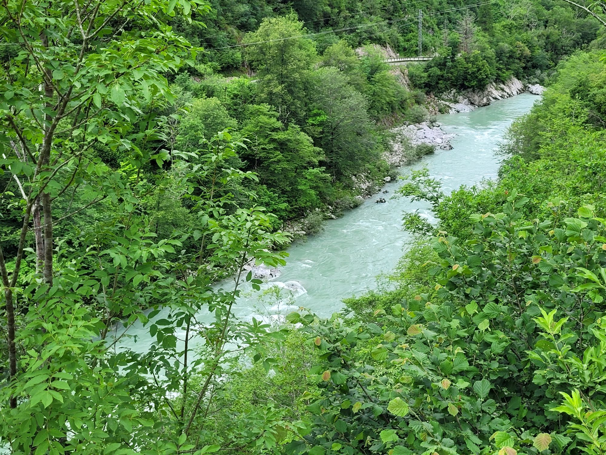
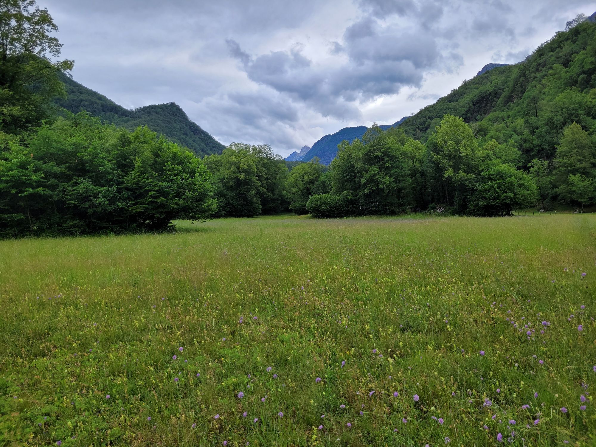
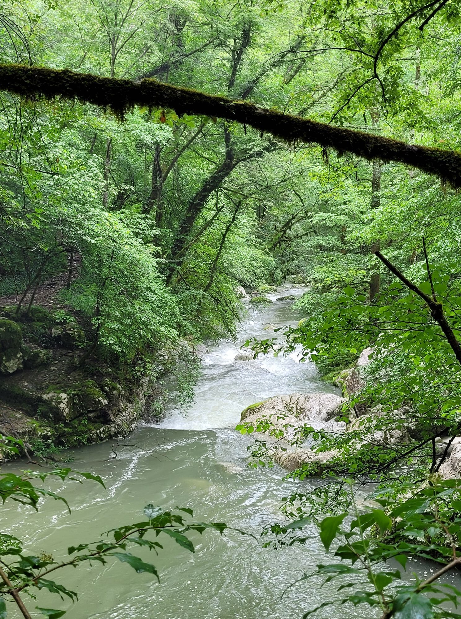
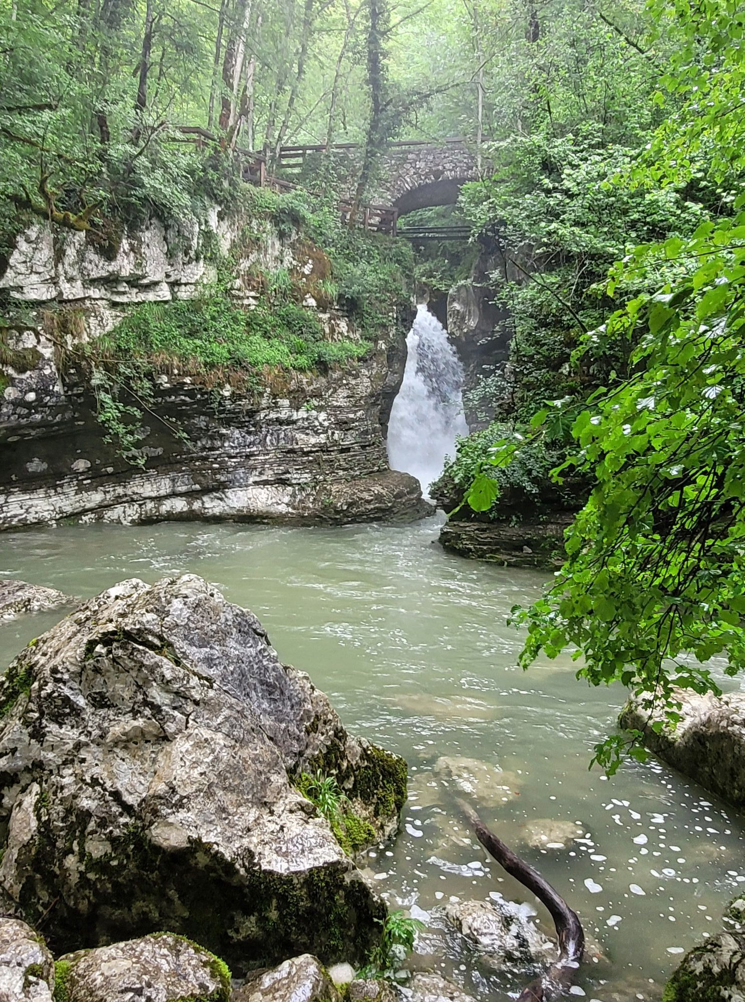
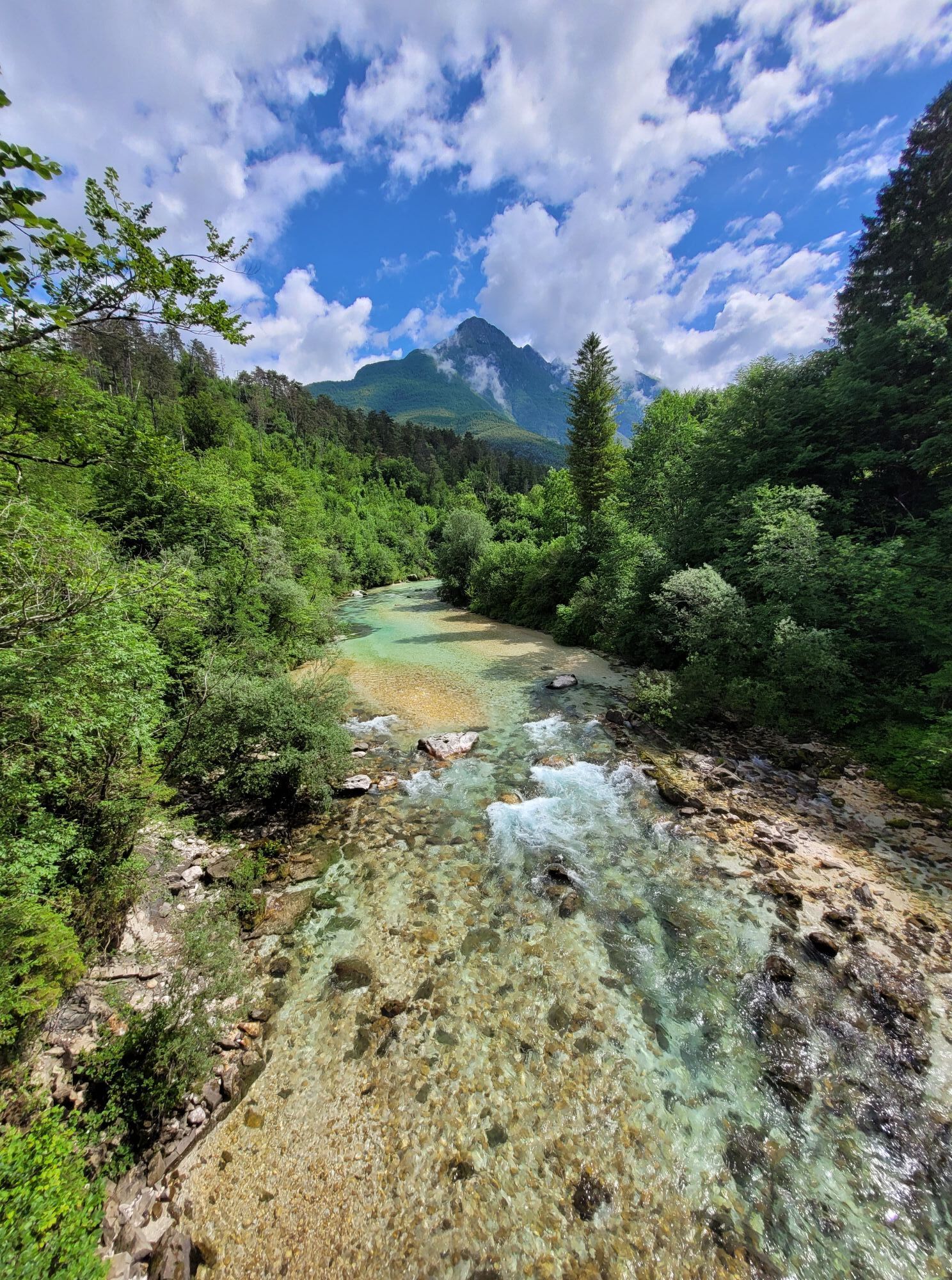
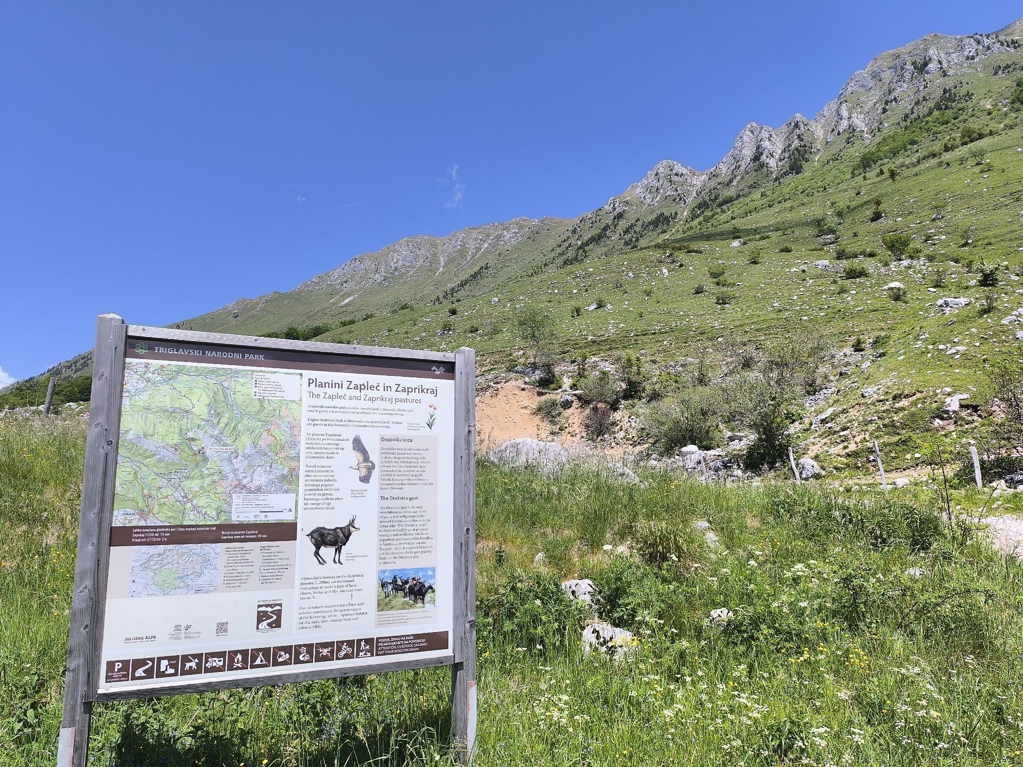
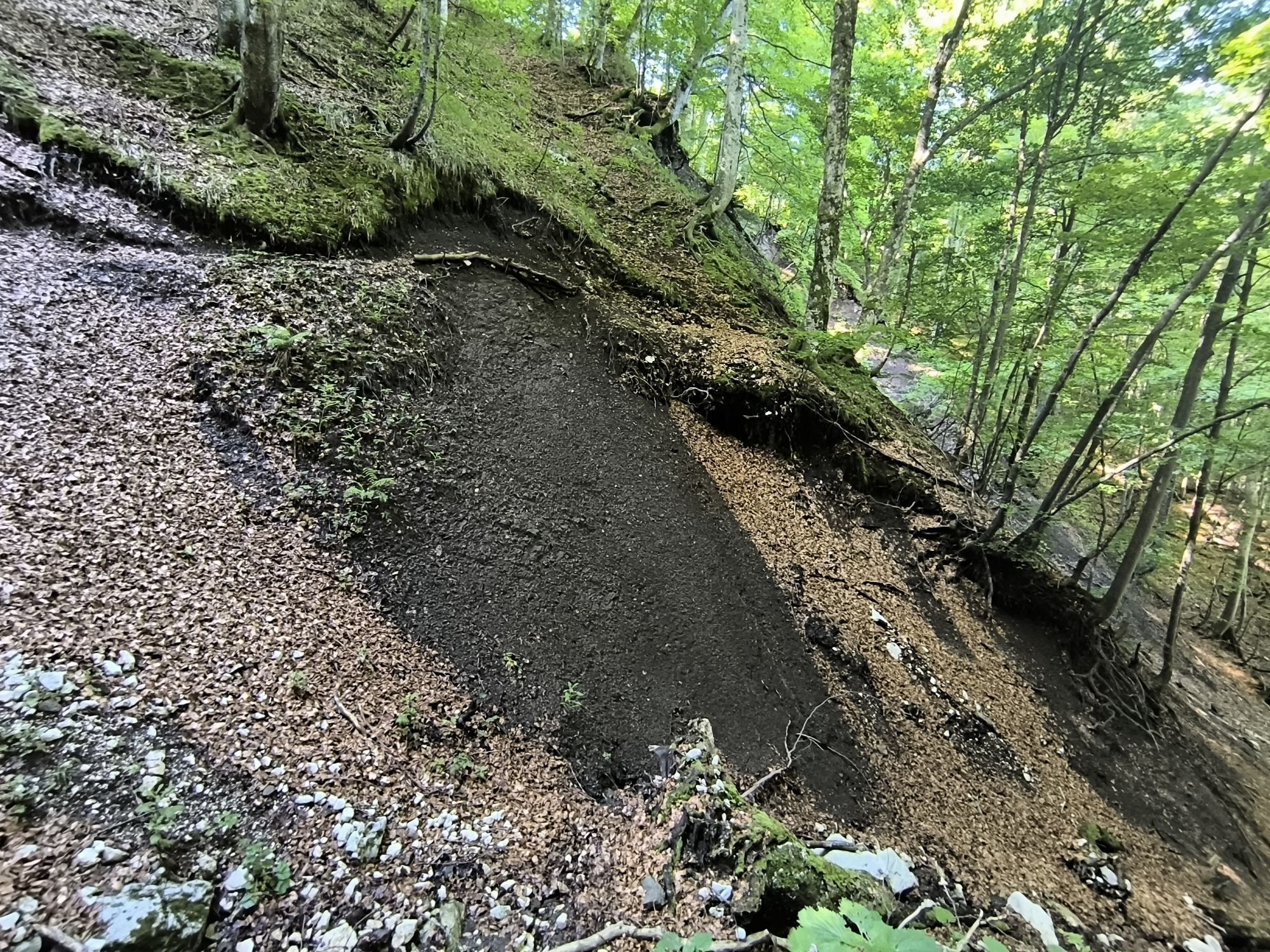
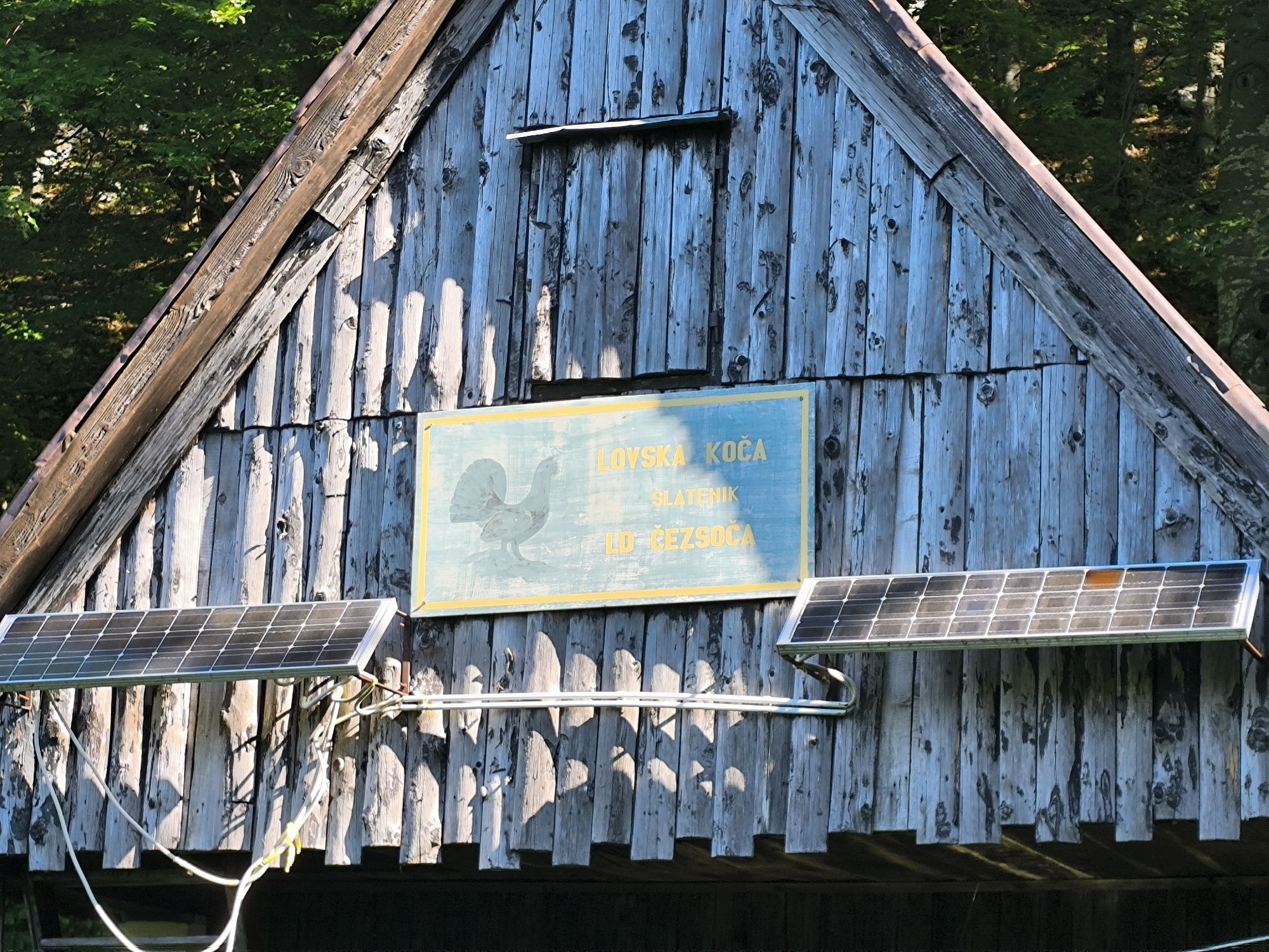
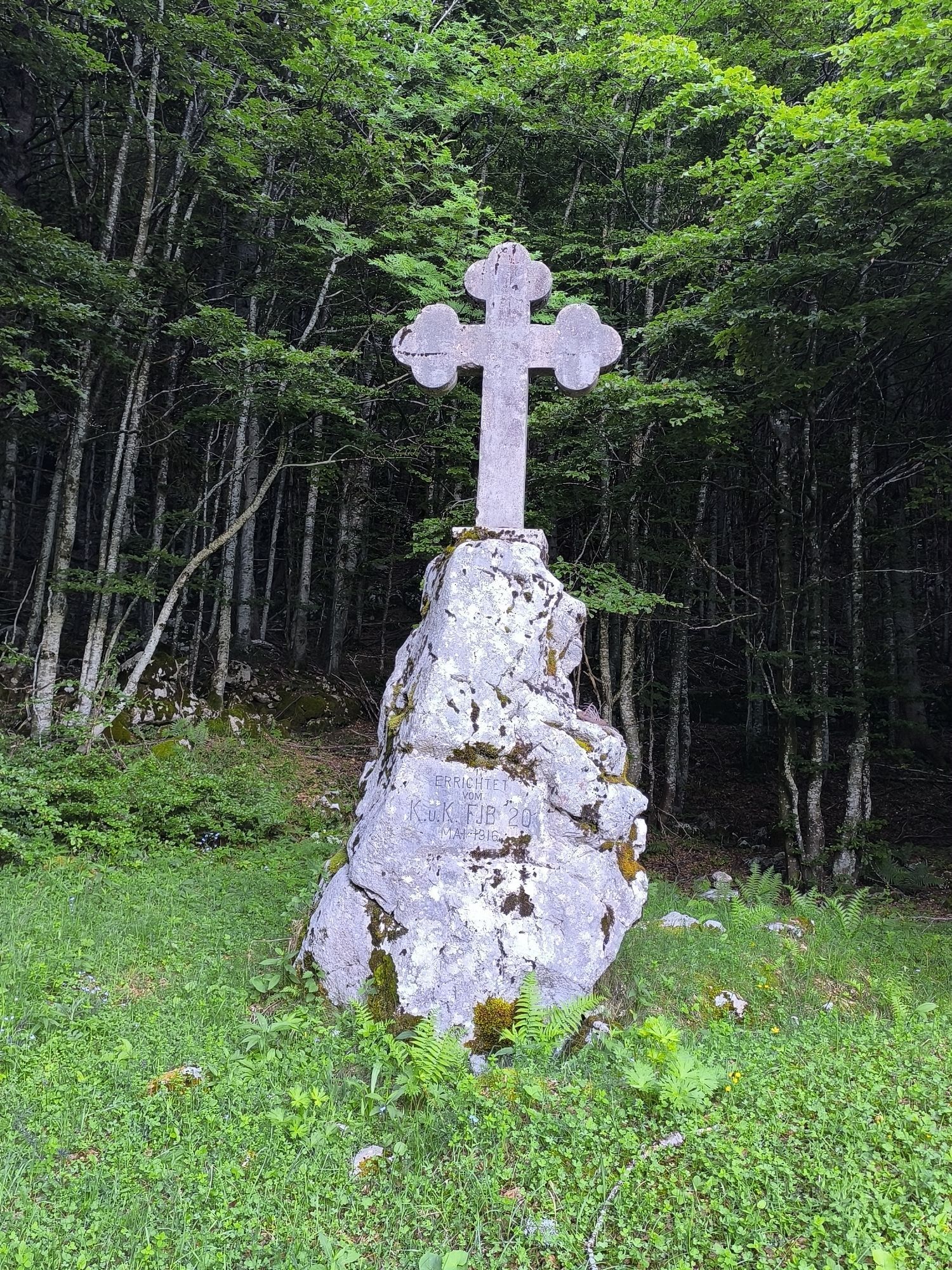
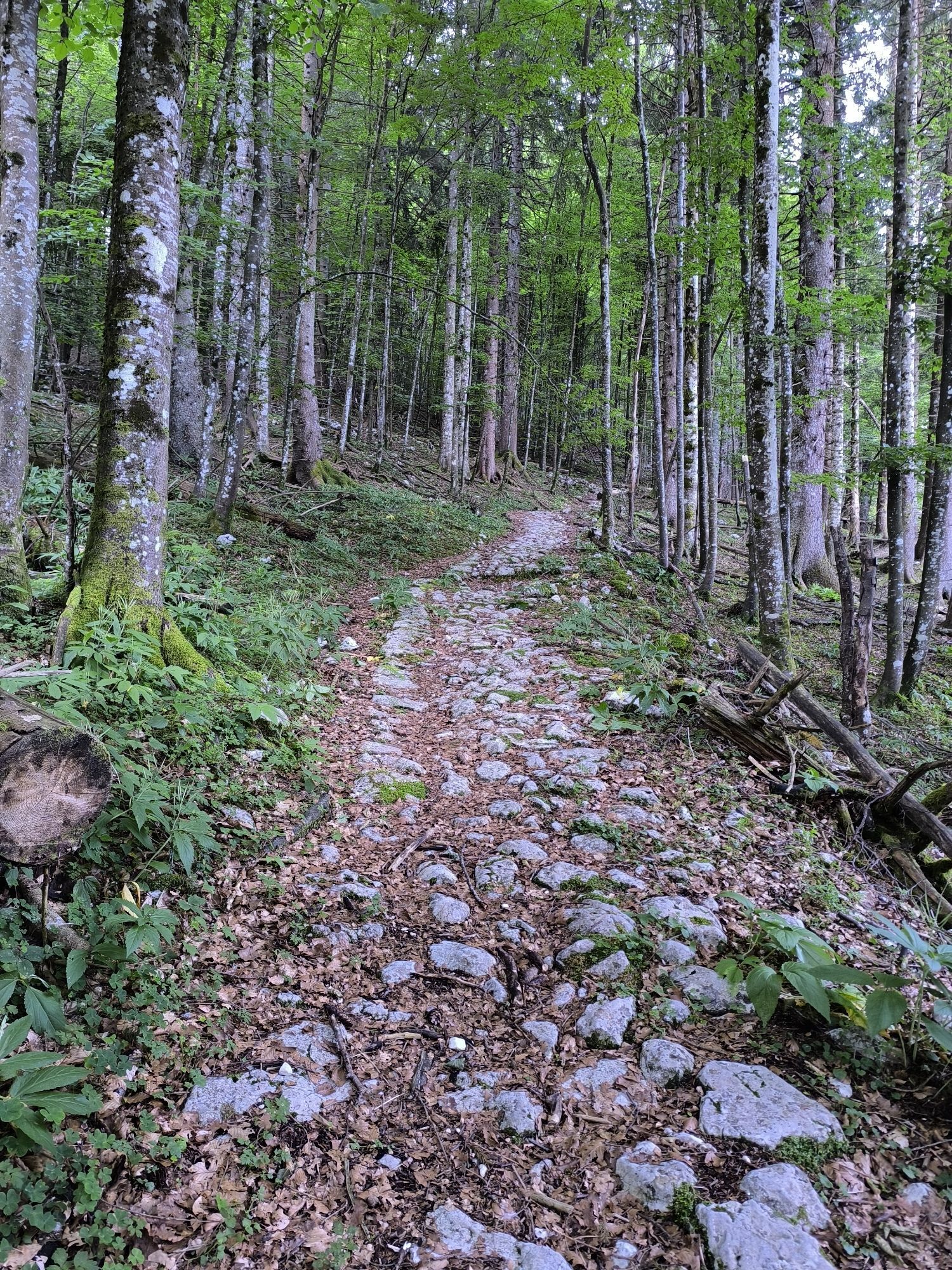
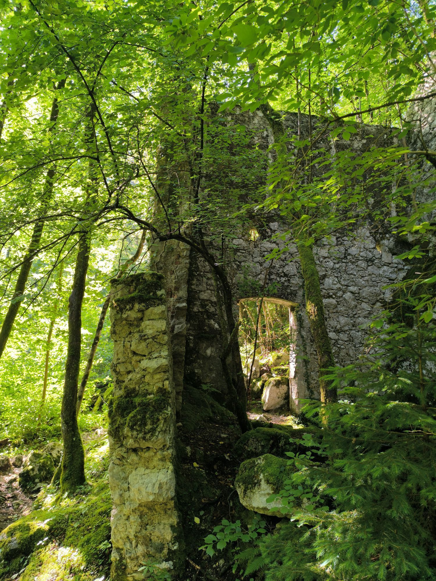
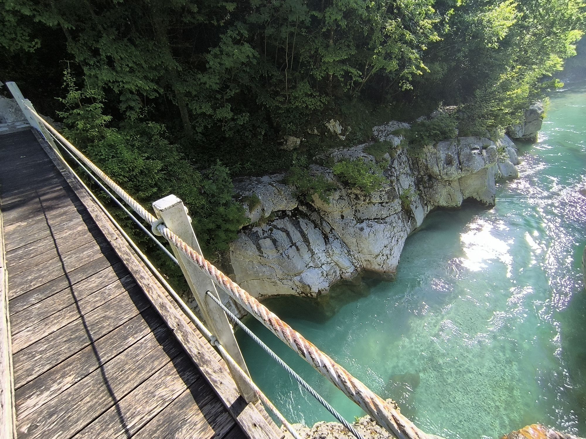
One hundred years ago, this was the location of the Isonzo Front; its remnants, including fire trenches and bunkers, are now connected into a Walk of Peace from the Alps to the Adriatic. It begins in Log...
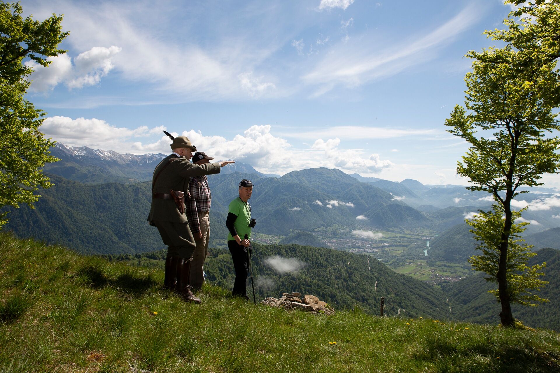
One hundred years ago, this was the location of the Isonzo Front; its remnants, including fire trenches and bunkers, are now connected into a Walk of Peace from the Alps to the Adriatic. It begins in Log pod Mangartom, follows the SoÄa River through Bovec, and crosses its highest point, the Krn mountain chain, near Kobarid. From there, the trail can either circle back to Kobarid or run along the Kolovrat Ridge, where an outdoor museum is located. The beautiful views of the Friuli Plain on one side and the Julian Alps on the other will leave you breathless.
After the experience of Nova Gorica and the Karst Region, the Walk of Peace ends in Trieste on the Adriatic coast. The trail consists of multiple sections that vary in length and difficulty; it is clearly marked and mainly runs on existing mountain and tourist trails. A Walk of Peace guidebook has also been published in Slovenian, English, Hungarian,Italian and German language.

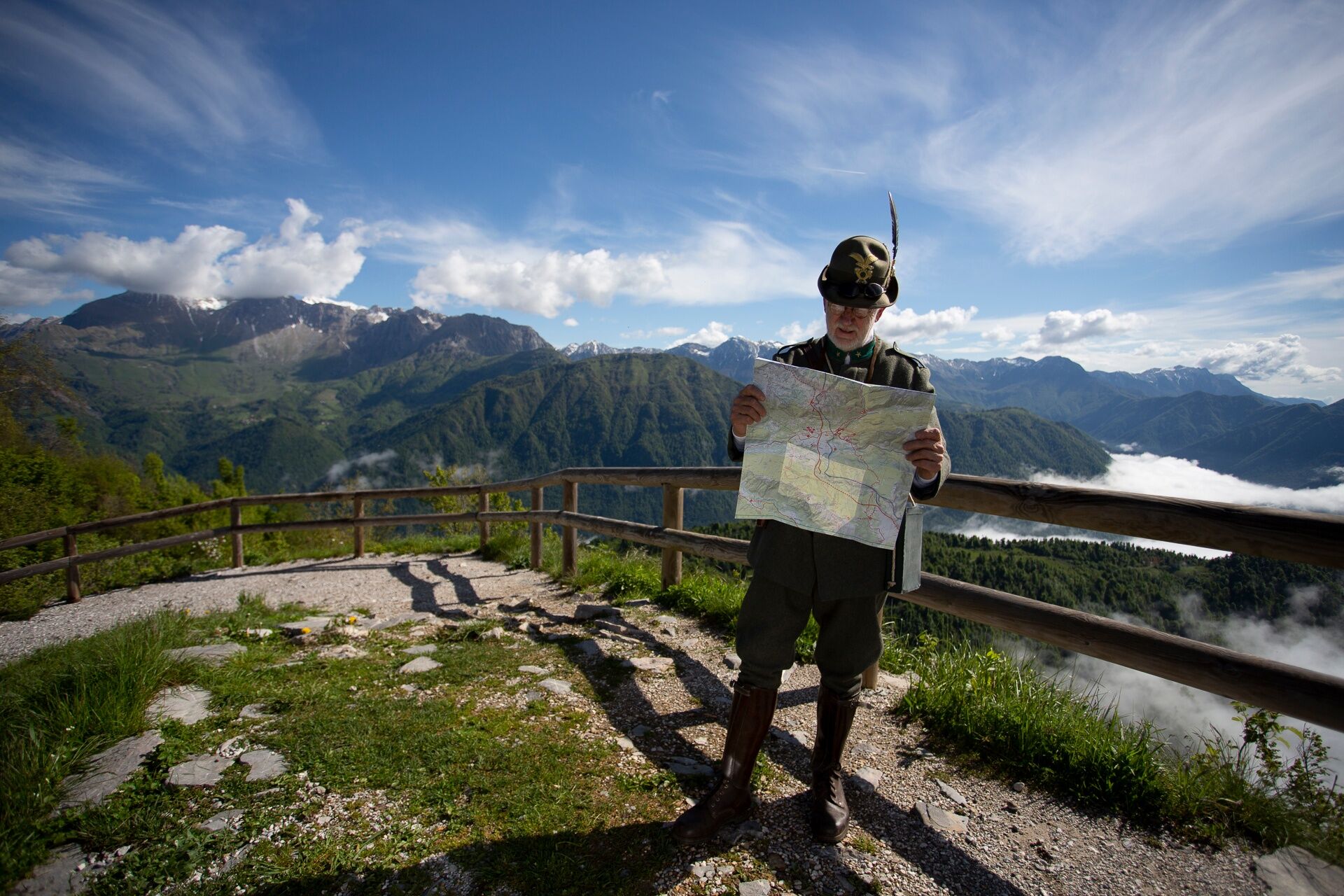
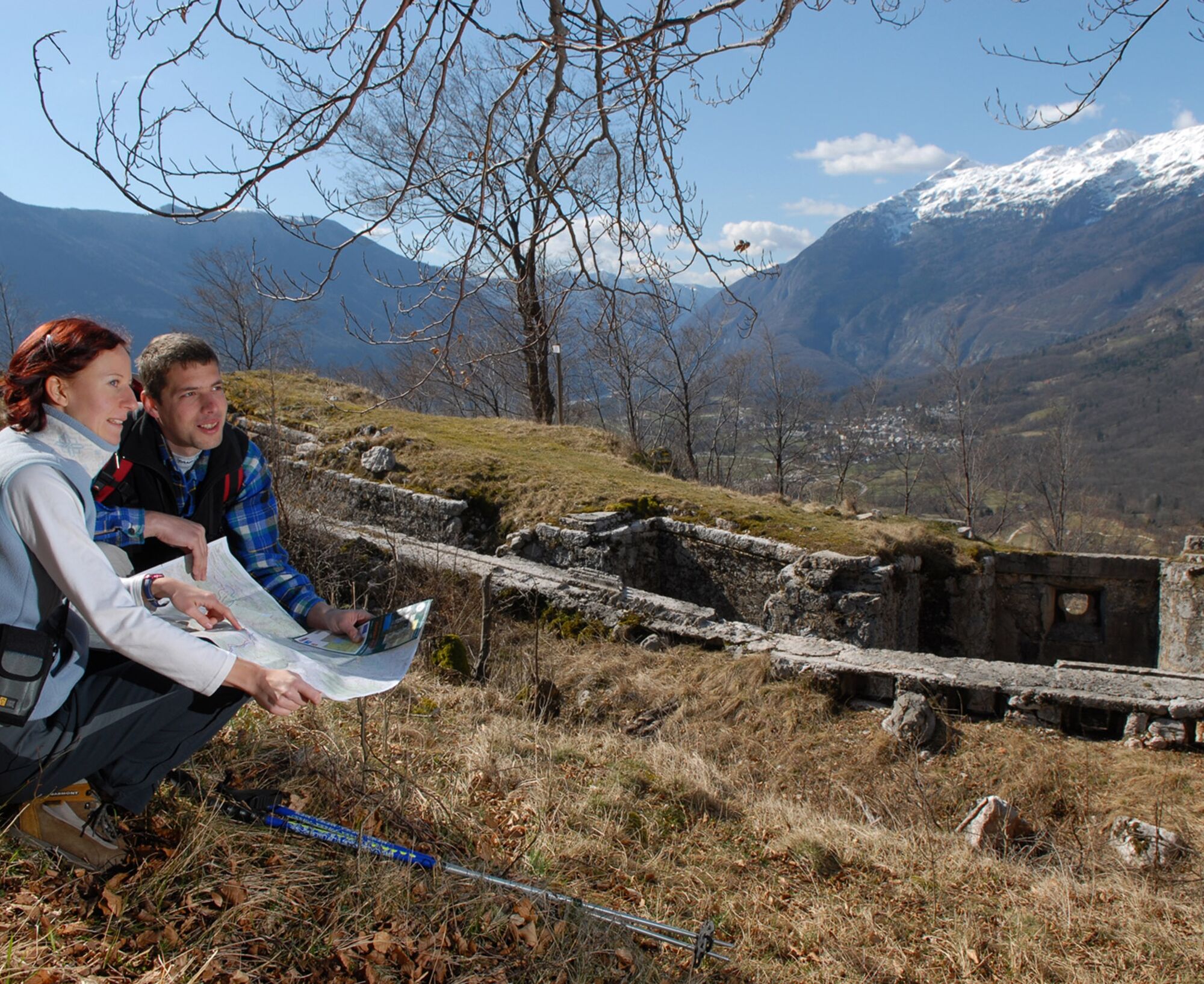
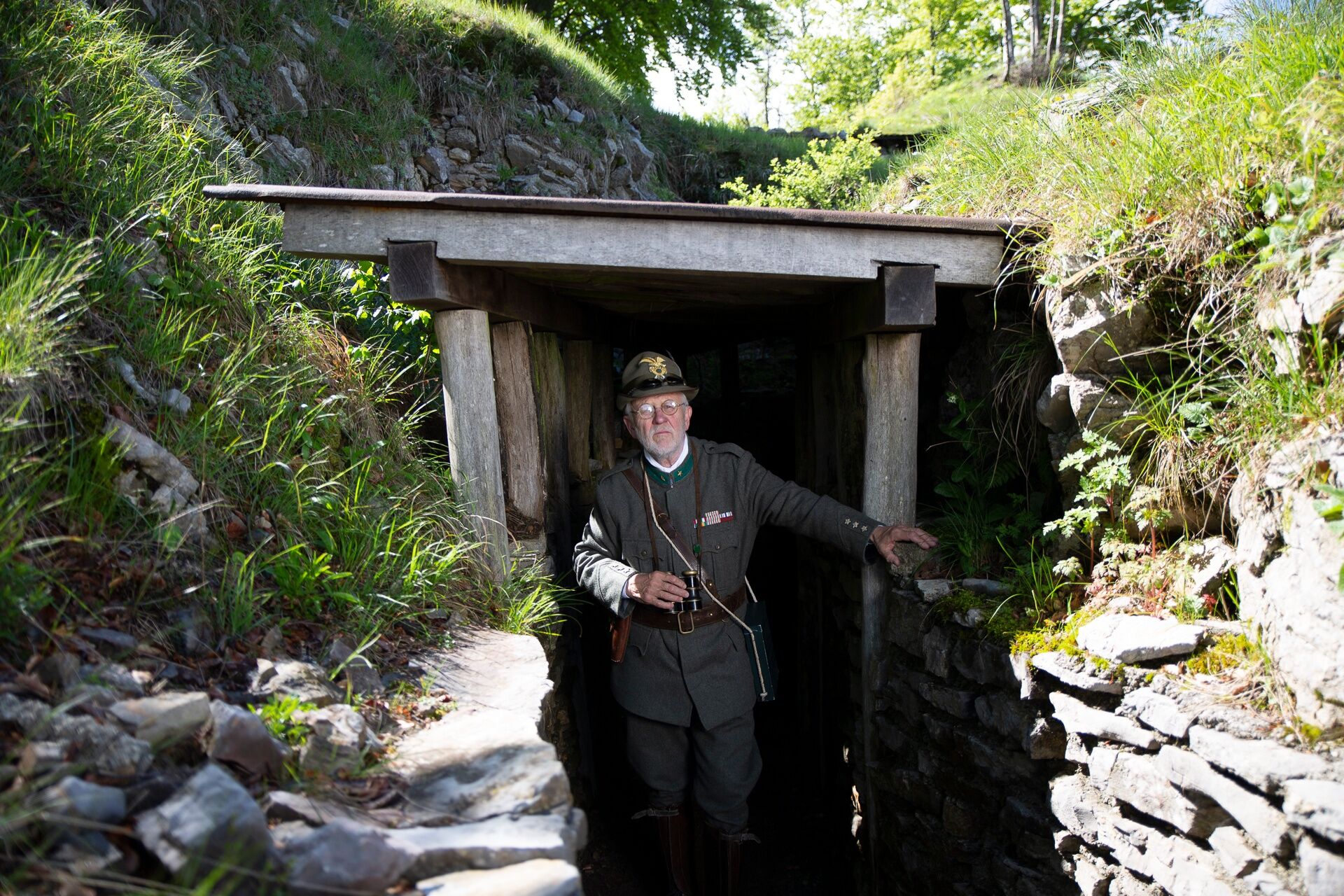
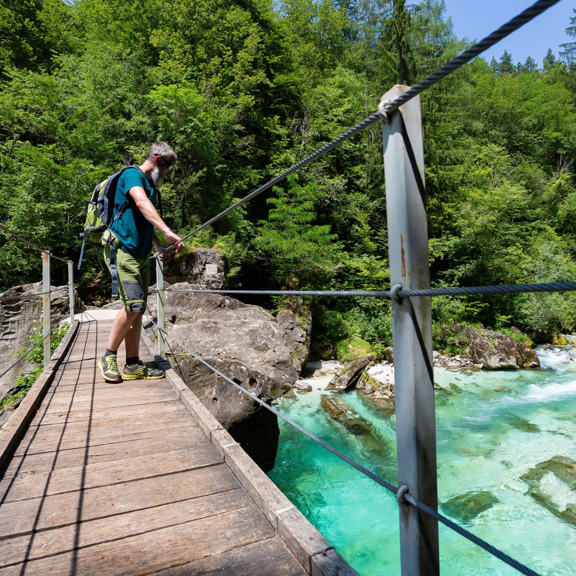
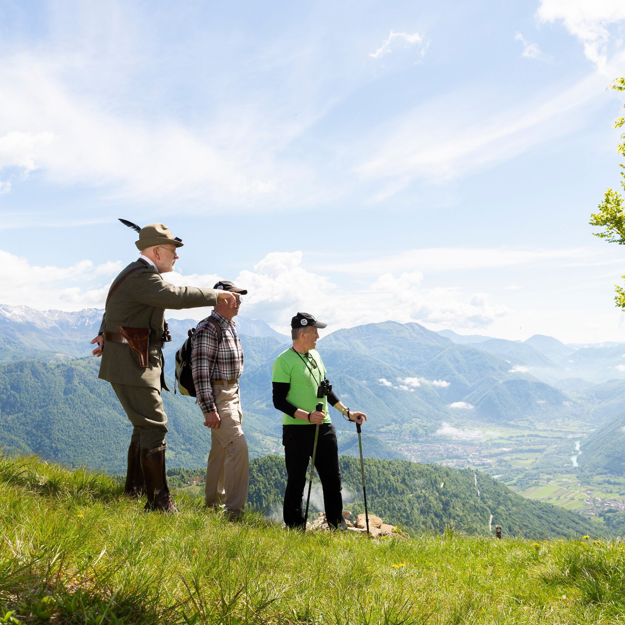
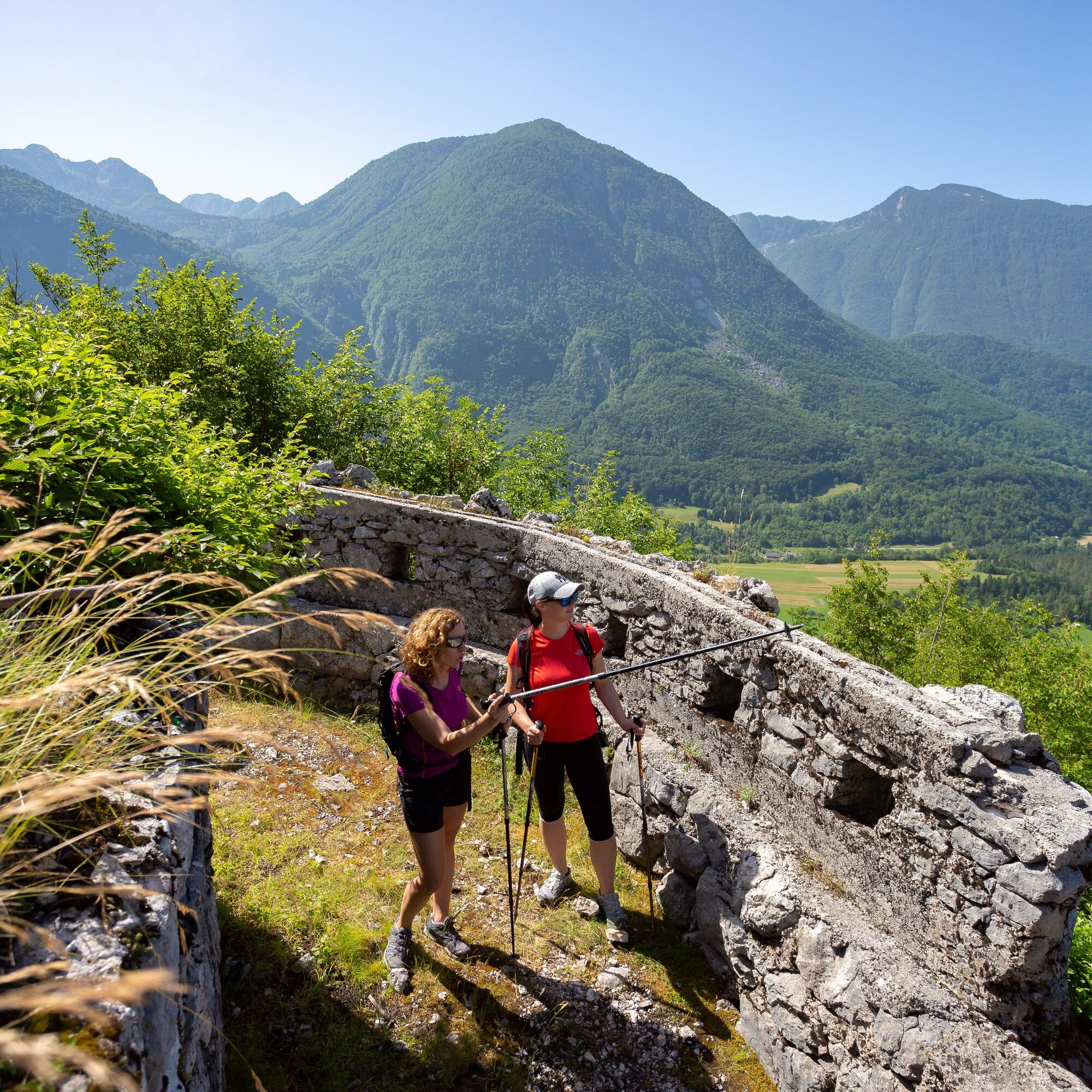
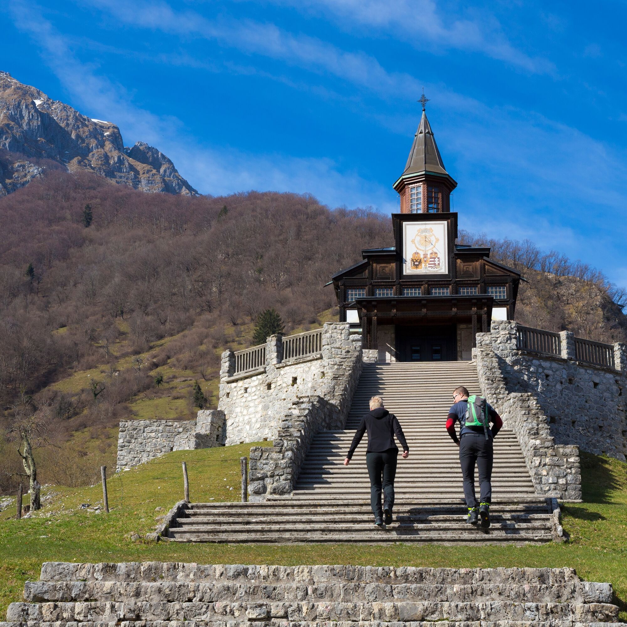
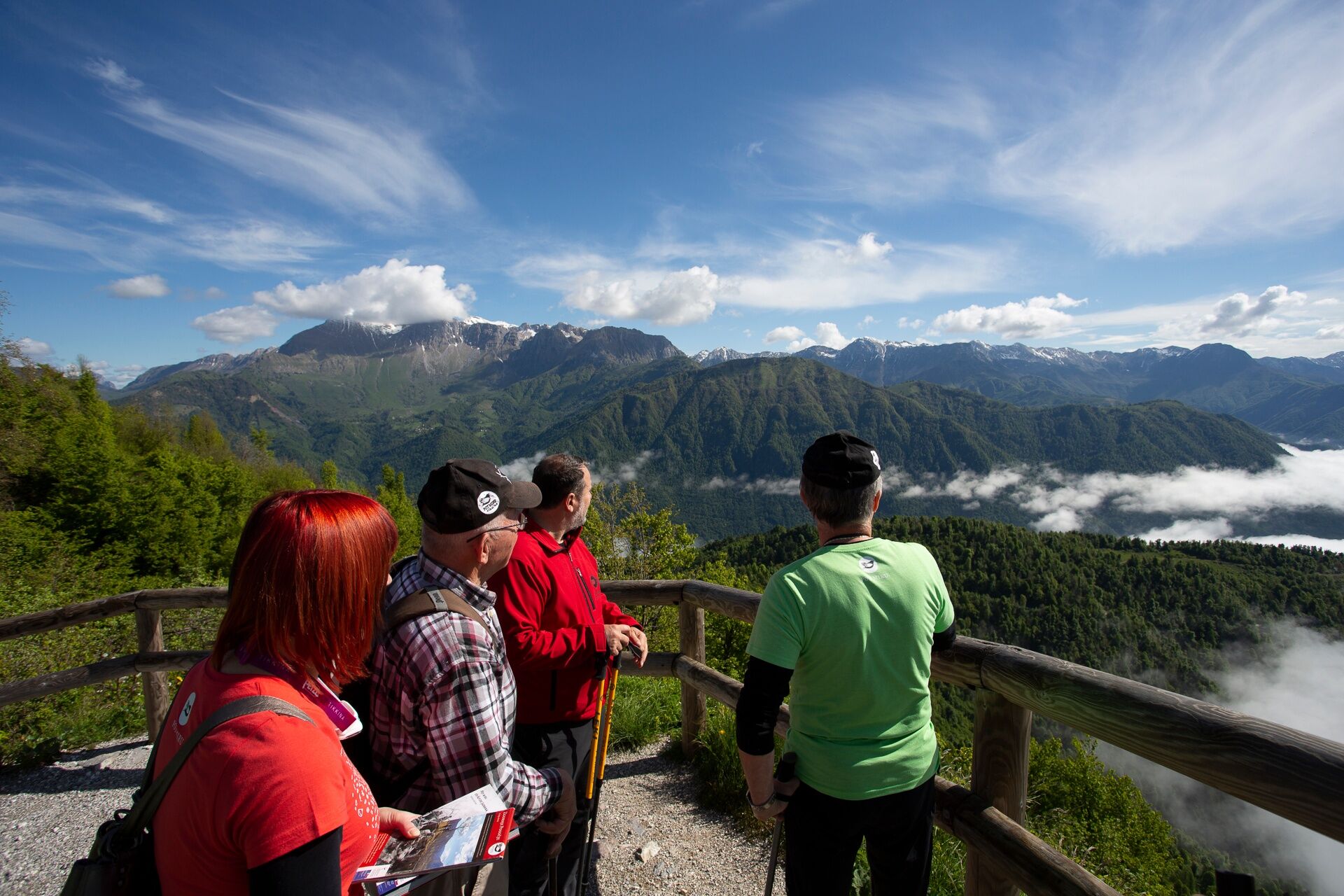
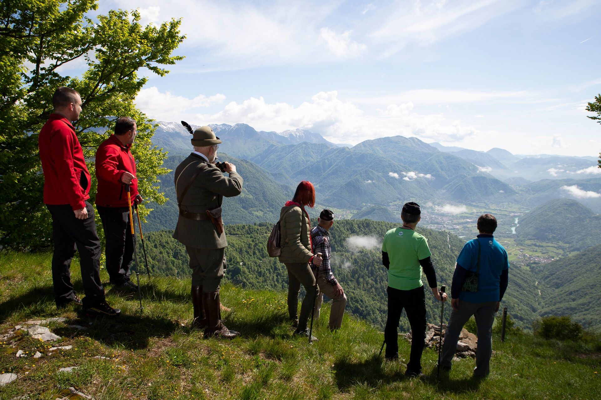
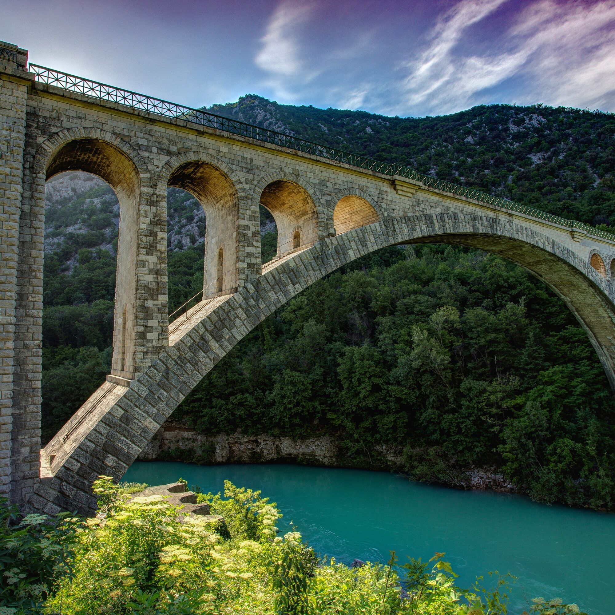
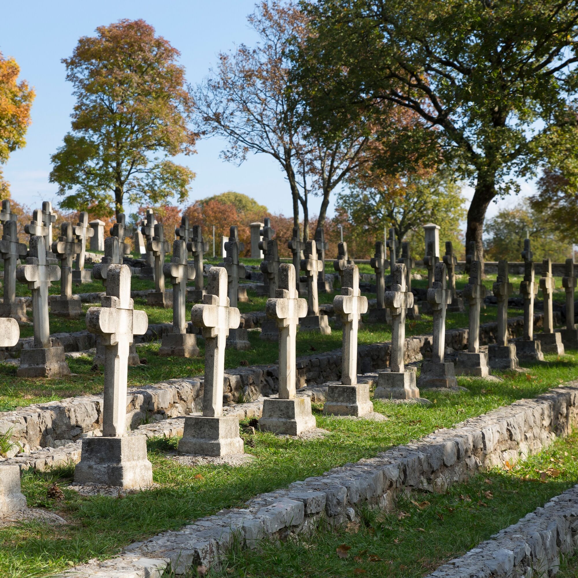

The length of the trail is 212 - 236 km, divided into 11 daily stages of 18-25 km. The overall altitude gained is 7180 - 8630 m.
Stage 1: Log pod Mangartom -Bovec
Stage 2: Bovec - Kobarid
Stage 3: Kobarid - Planina Kuhinja
Stage 4: Planina Kuhinja - Tolmin
Stage 5: Tolmin - Kambreško
Stage 6: Kambr4eško - Šmartno
Stage 7: Šmartno - Nova Gorica
Stage 8: Nova Gorica - Lokvica
Stage 9: Lokvica - Komen
Stage 10: Komen - Duino (IT)
Stage 11: Duino - Trieste
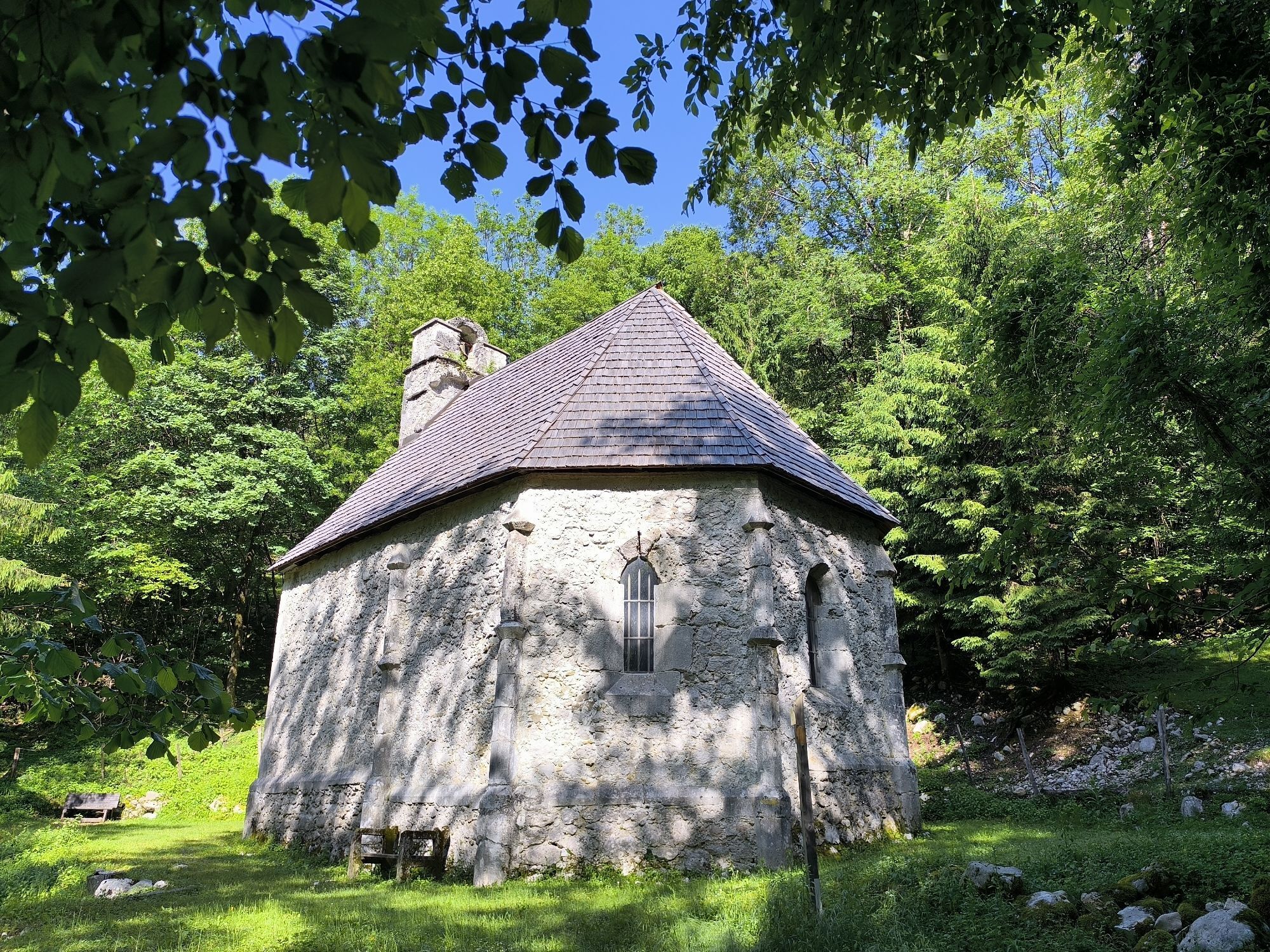
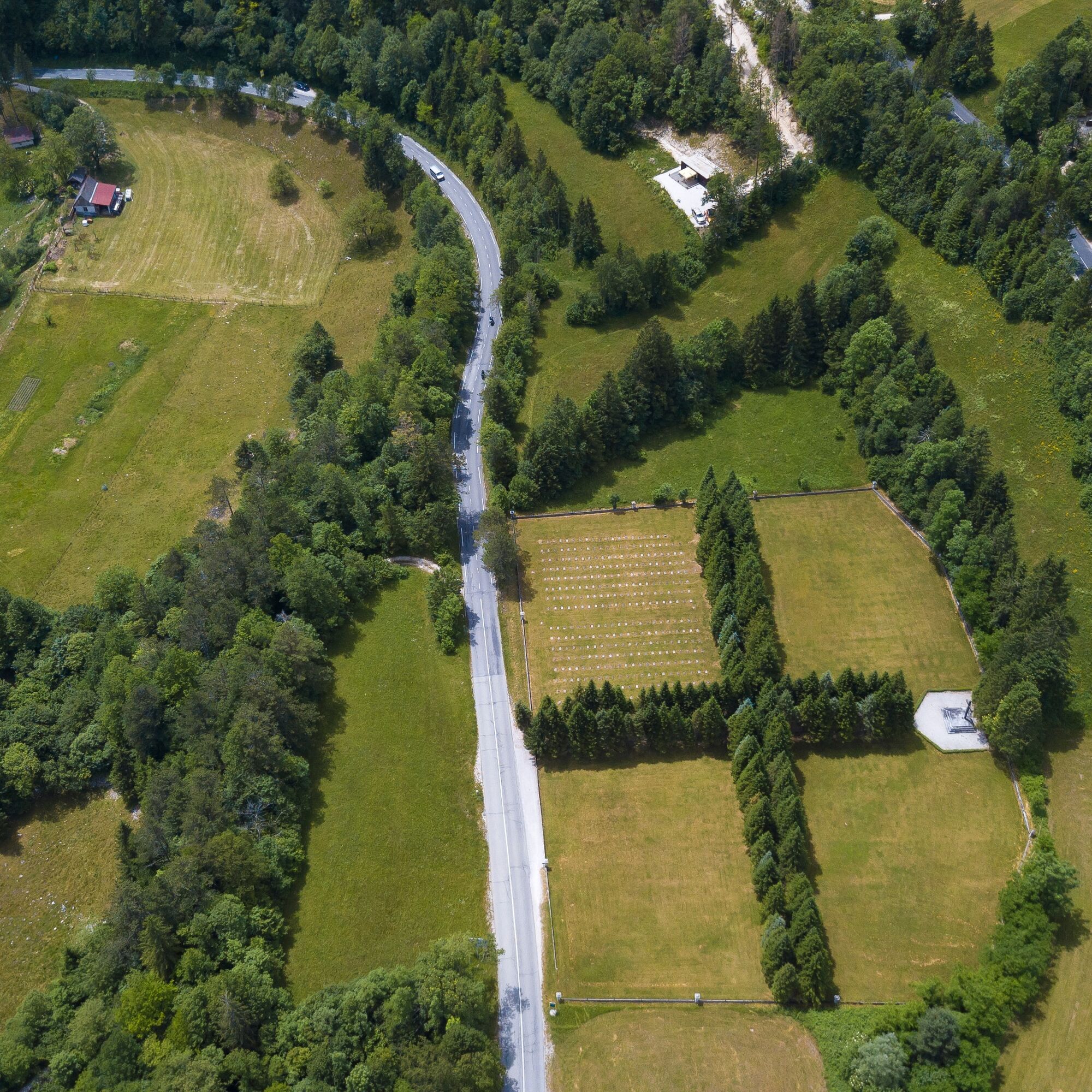
The Walk of Peace from the Alps to the Adriatic starts at Log pod Mangartom village, descends to the Kluže Fortress, passes Mt Ravelnik and Äelo Hill Outdoor Museum to climb to the Golobar pasture and the Zaprikraj Outdoor Museum; it then descends from Drežnica, passes the Italian Ossuary and reaches Kobarid, where it divides into two paths. One route climbs to the Kolovrat Range and its outdoor museum, while the other runs across the Kuhinja and PretovÄ pastures to reach the Mt Mrzli vrh Outdoor Museum, where it starts to descend to the Church of the Holy Spirit at Javorca and further down to Tolmin, the German Ossuary and the Mengore Hill Outdoor Museum, where this section of the Walk ends.
From the Kolovrat Range Outdoor Museum, the route passes GloboÄak Hill and the Kambreško area to reach Mt Sabotin and the Brda Hills; the other route descends from the Kolovrat ridge to Plave village and climbs the Prižnica–Vodice–Sveta Gora ridge and Škabrijel Hill. The routes meet in Nova Gorica/Gorizia.
The Walk continues across the top of the Markov hrib slope and the hills of Vrtojbensko-biljenski griÄi to the Cerje Memorial and the Kras Walks of Peace. Here, the Walk of Peace again forks into two paths that cross the former border. The first links the Brestovec Historical Trail/Percorso storico del Brestovec, Debela Griža/Monte San Michele, the Italian Ossuary in Sredipolje/Redipuglia, the Theme Park/Parco Tematico Grande Guerra above TržiÄ/Monfalcone and ends in Devin/Duino.
The second path winds through the Kras to connect the throne of BorojeviÄ, Krompir Cave, Gorjansko and some Austro-Hungarian cemeteries, crosses Grmada/Ermada and descends to Devin/Duino. You can than continue onwards to Trieste.
Da
Classical long distance hiking equipment.
There is no special safty issues on the trail. Classical safety precautions apply. You will walk through the protected areas, where the following rules apply:
Please note the local information on nature conservation.
Please, drive your motor vehicle only in permitted areas.
Please, do not walk off the trails.
Please, do not swim in lakes or creeks.
Please, keep dogs on a leash.
Please, do not pick mushrooms.
Please, do not litter.
Please, use the camping sites.
Please, do not pick plants.
Please, do not remove plants or animals.
Either through Trbiž/Tarvisio (Ialy), over Kranjska Gora and VršiÄ pass or through Nova Gorica and Tolmin.
You can arrive by car or by bus.
Bus line from Ljubljana to Bovec, through Trbiž (Tarvisio) in Italy. Also possible to reach cities on the way by bus or train (or combination of both)
A few parking spots in Log pod Mangartom, better option is to leave car in Bovec or Kobarid.
Read a book or two about WW1 before hiking on the trail, you will enjoy and appreciate it much more.
Spletne kamere s turneje

Priljubljeni izleti v okolici
- 4.7
Soca Trail
svetlobaPohodništvo 23.0 km - 4.6
Kozjak Wasserfall und Soča
svetlobaPohodništvo 5.18 km - 4.5
Savica Wasserfall
srednjaPohodništvo 1.89 km - 4.6
Roundthelake
svetlobaPohodništvo 11.4 km - 4.2
Slap Slavica
srednjaPohodništvo 9.62 km - 3.9
Tolminka Klamm
svetlobaPohodništvo 1.90 km - 4.7
Slowenien Triglav Nationalpark
srednjaPohodništvo 19.5 km - 3.4
Auf den Krn
srednjaPohodništvo 5.90 km - 4.7
Bohinj
srednjaPohodništvo 22.1 km - 4.7
Kobarid - Stari grad - Restaurant Kamp Lazar - Veliki Kozjak
srednjaPohodništvo 8.98 km

Pohodništvo in sledenje


Ne zamudite ponudb in navdiha za naslednje počitnice
Vaš e-poštni naslov je bil dodan na poštni seznam.





