





Route 66" hut tour
Stopnja težavnosti: T2
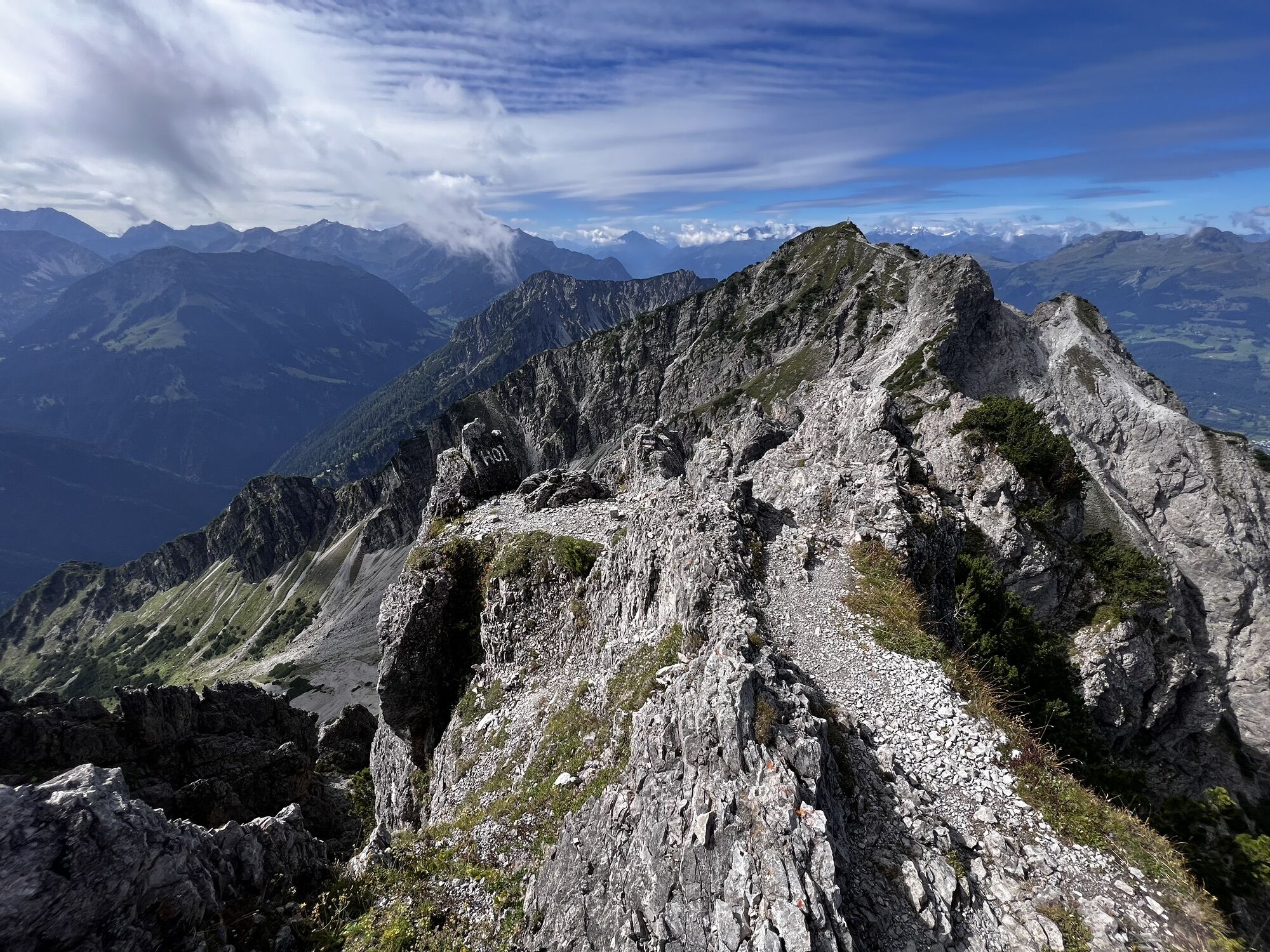
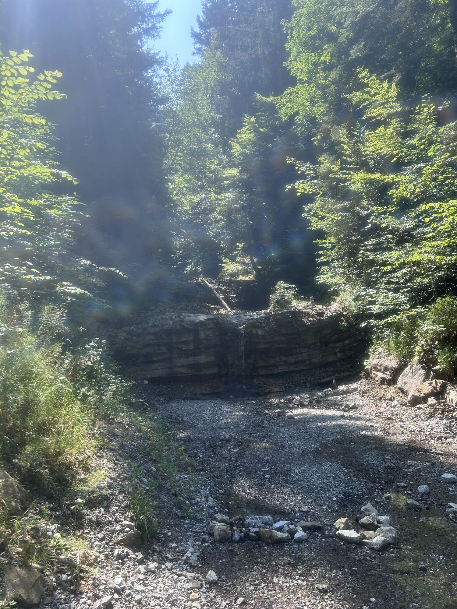
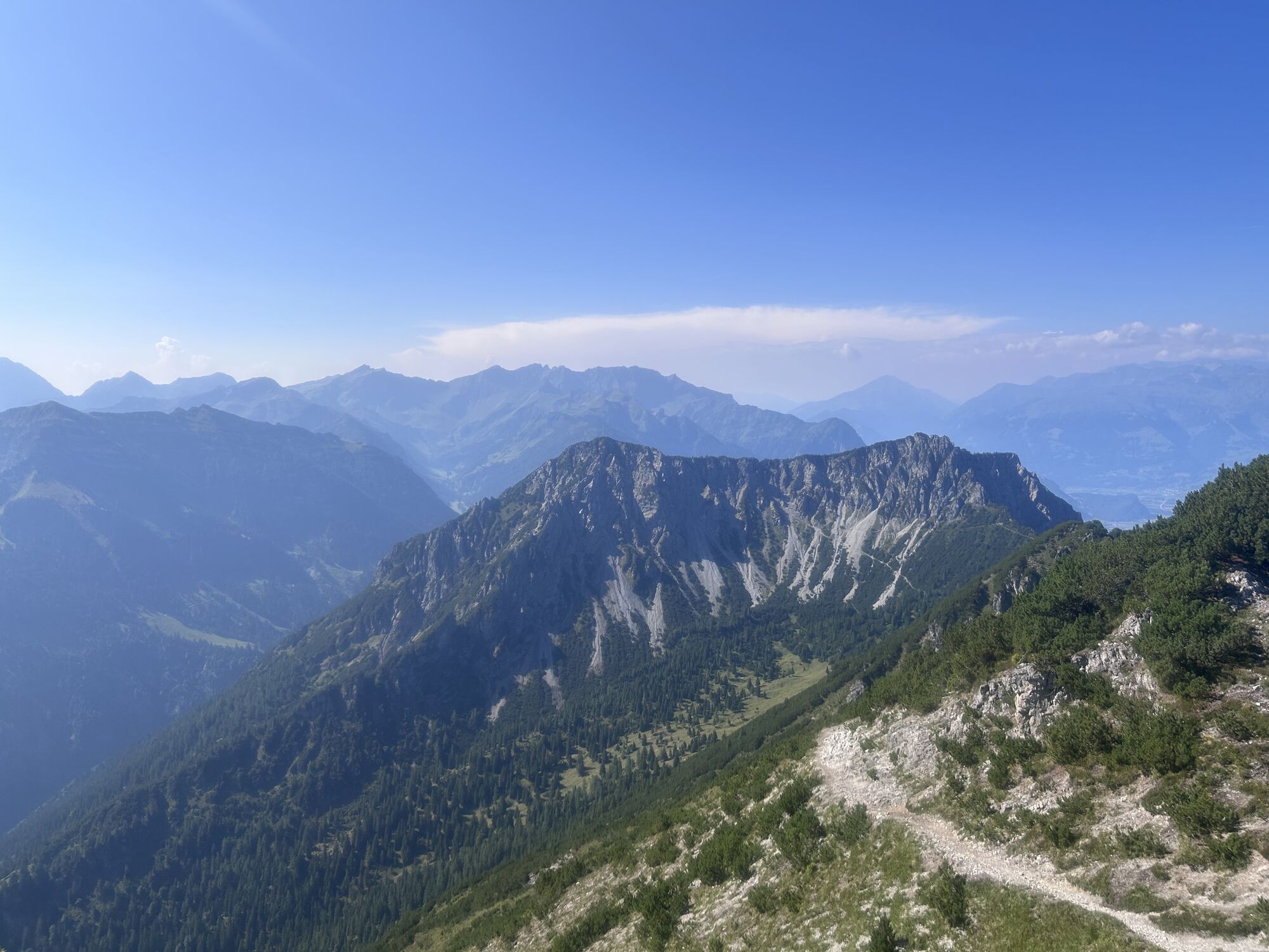
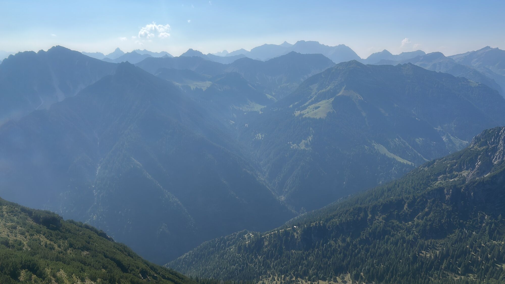
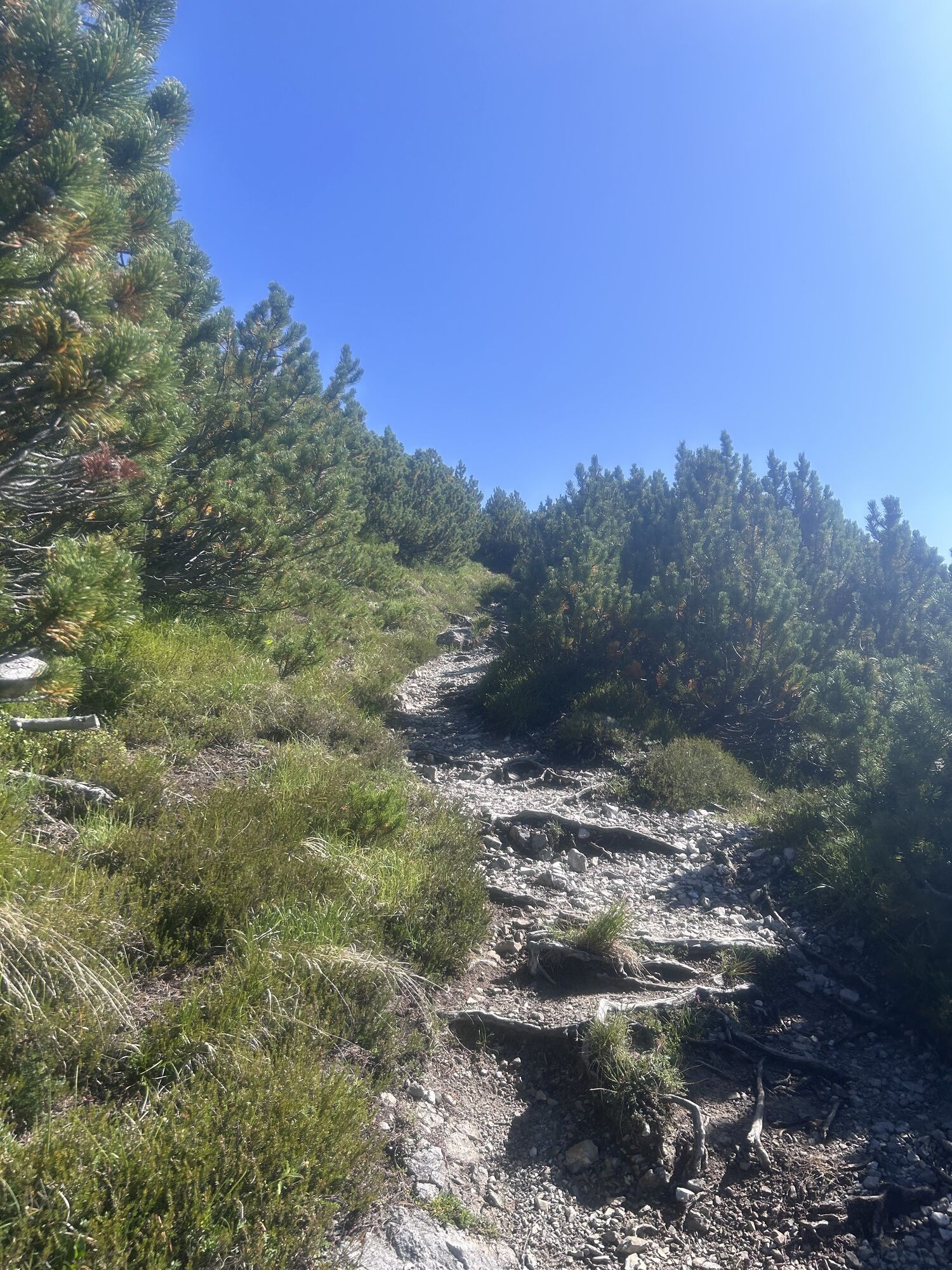
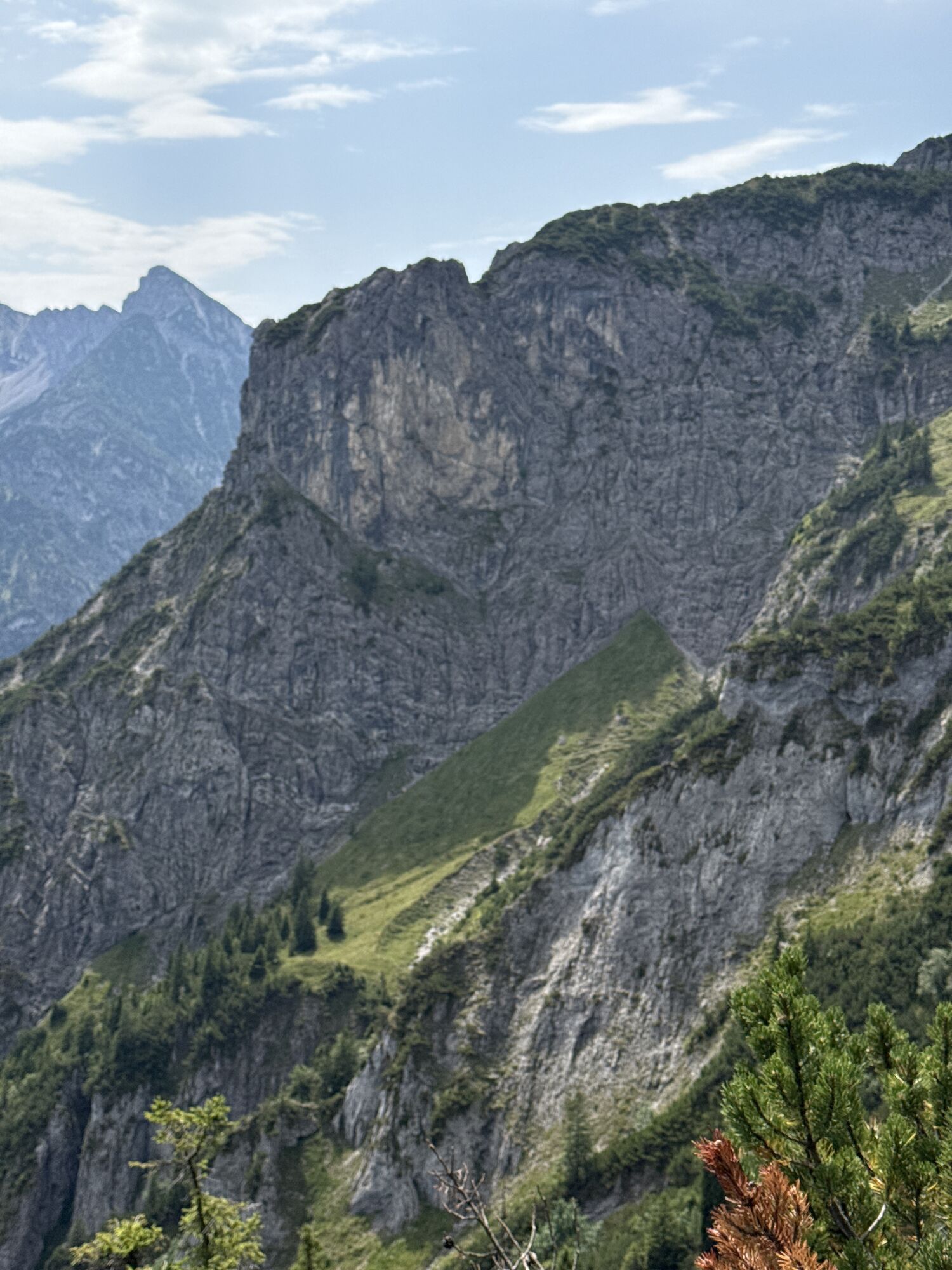
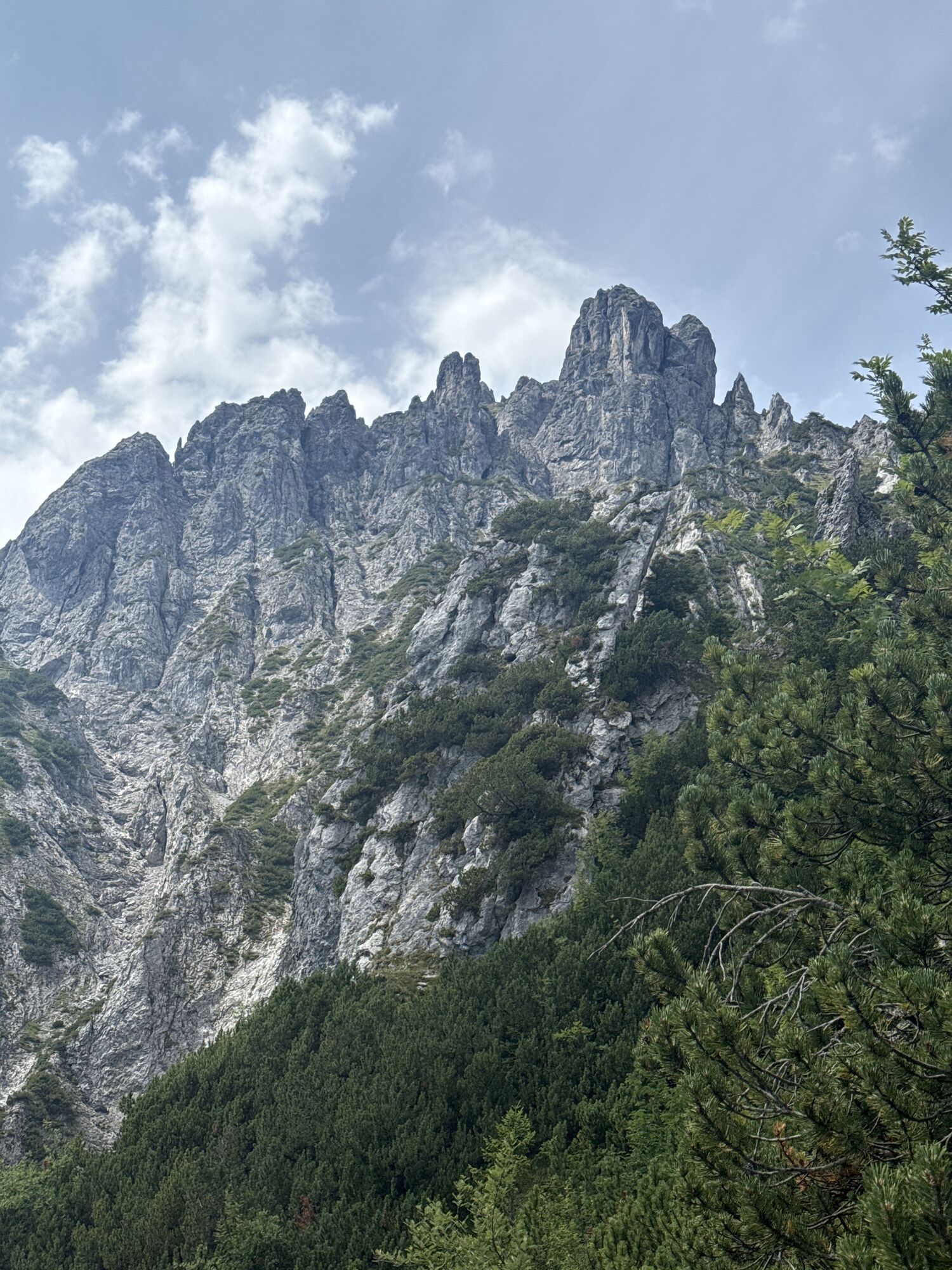
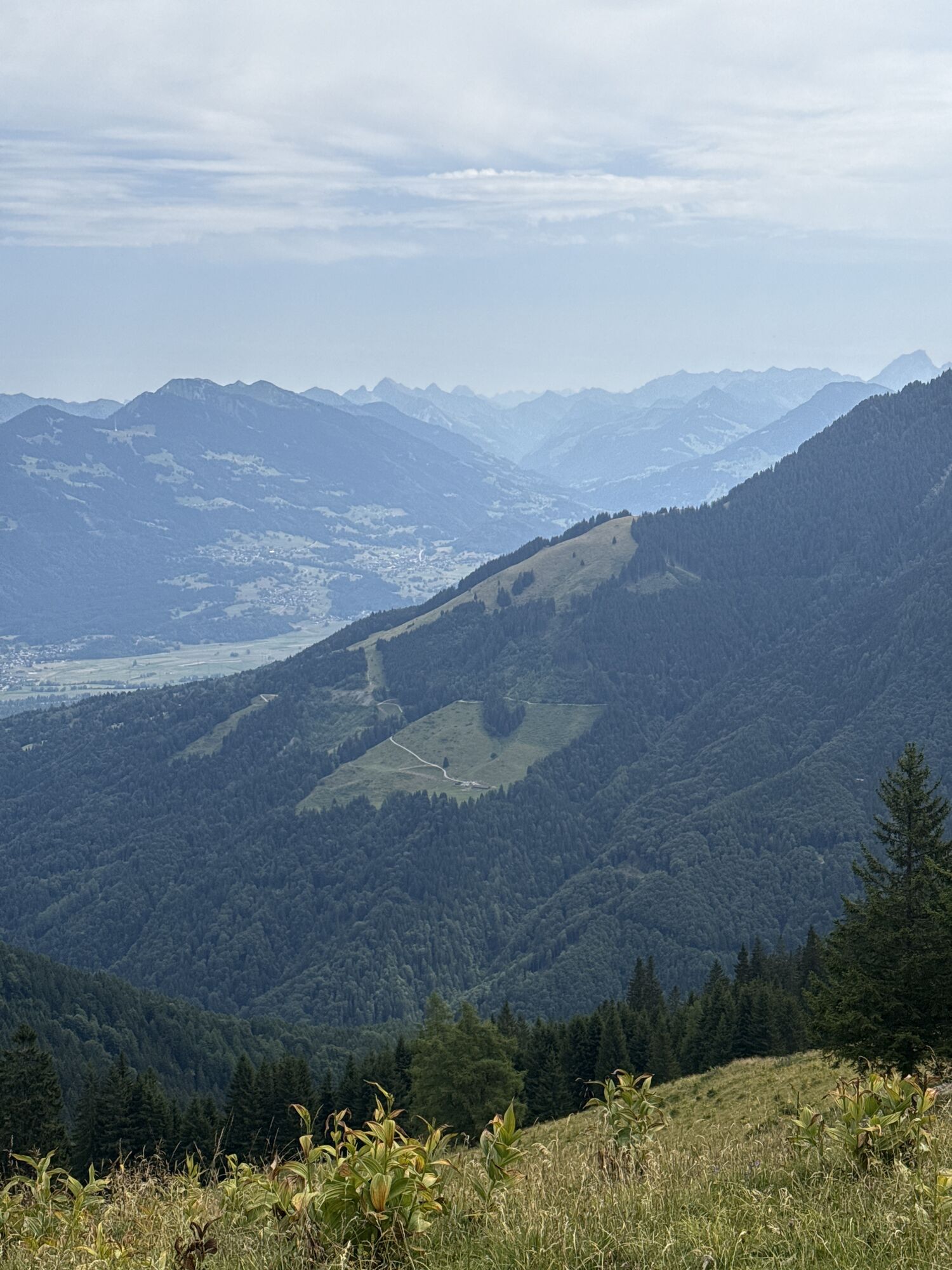
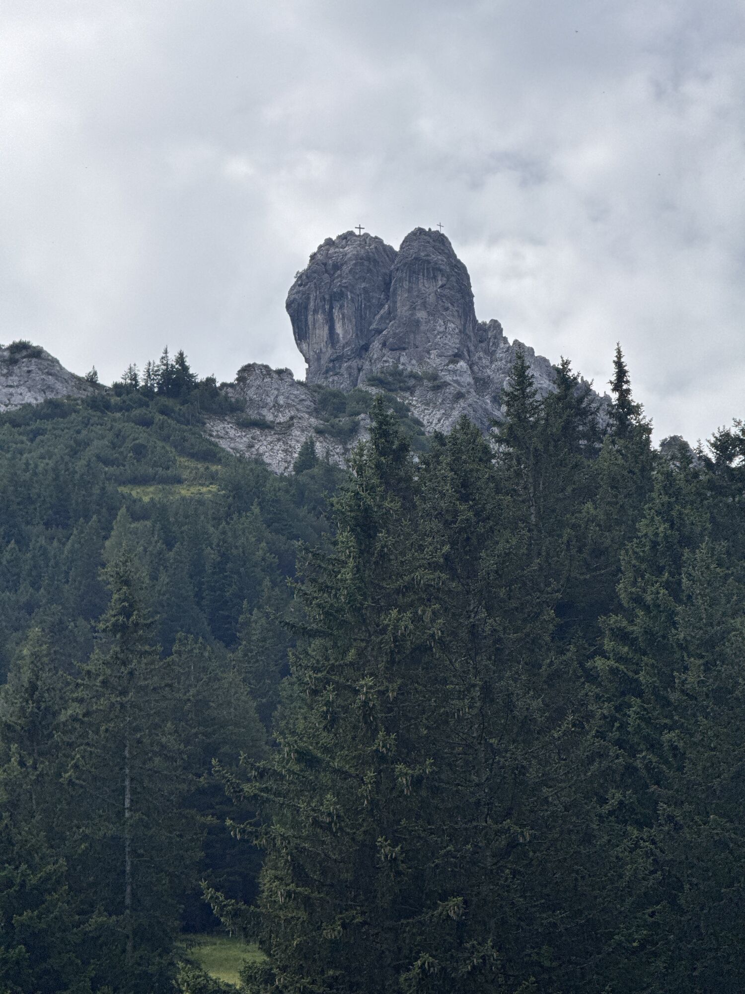
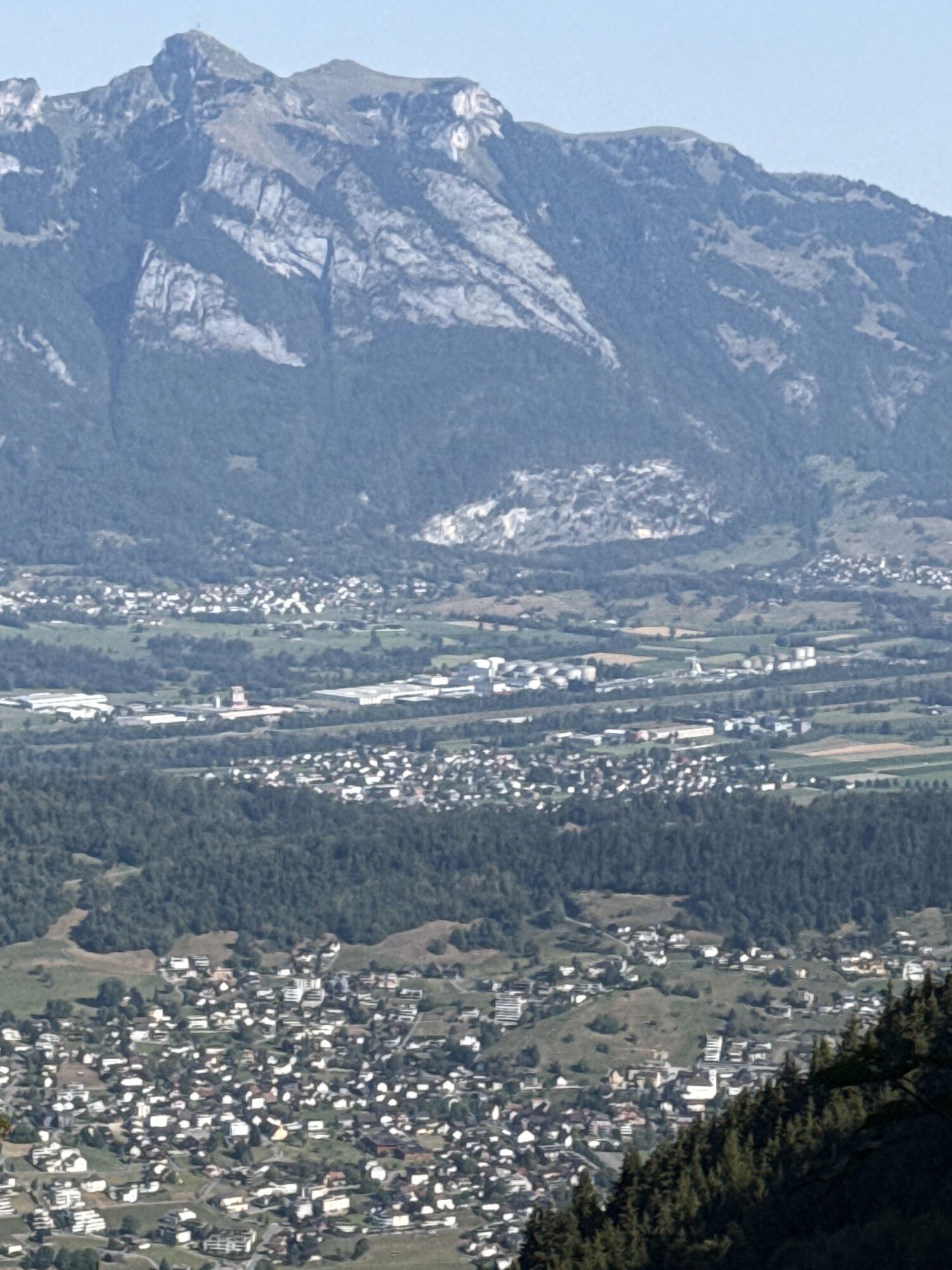
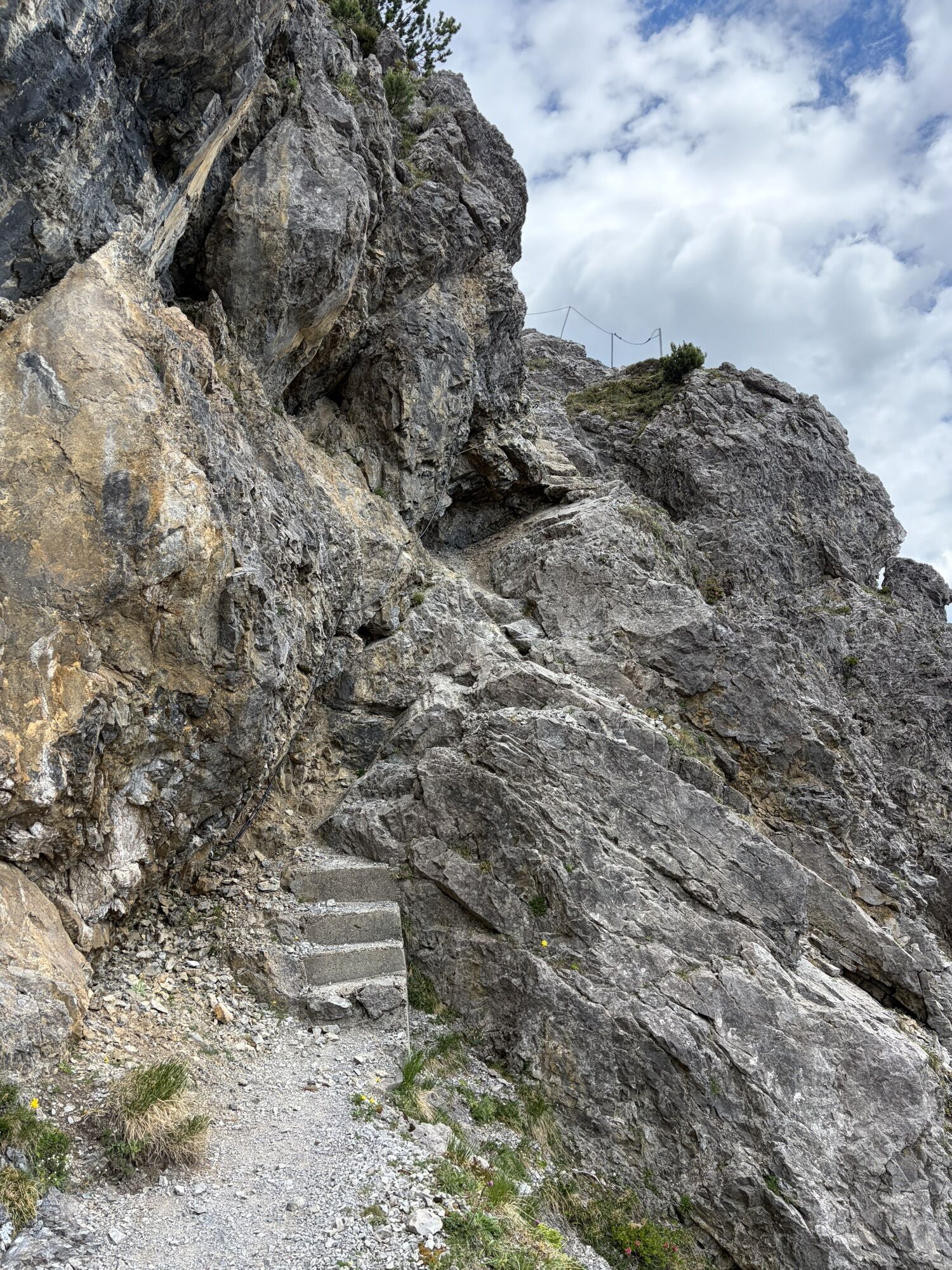
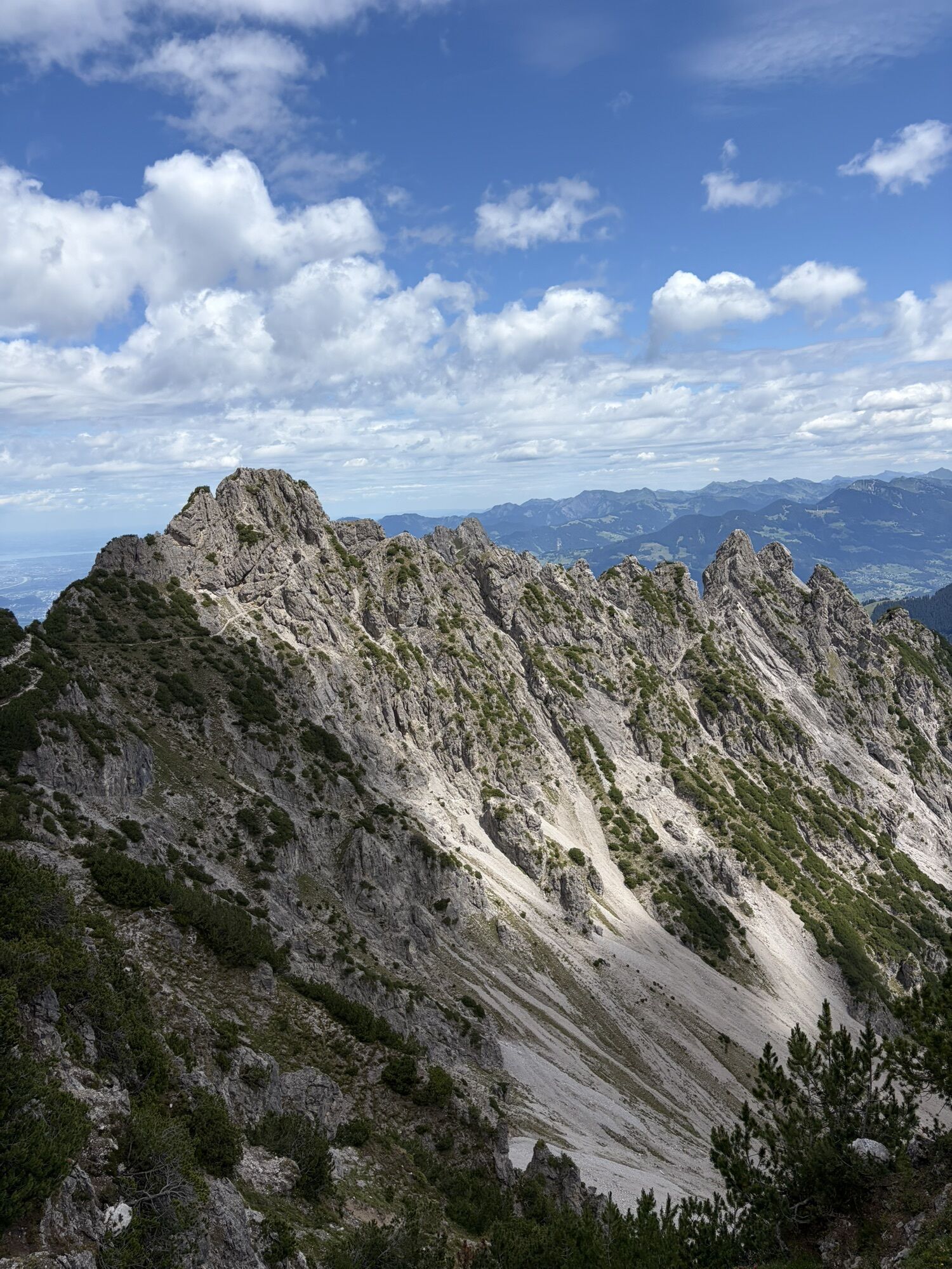
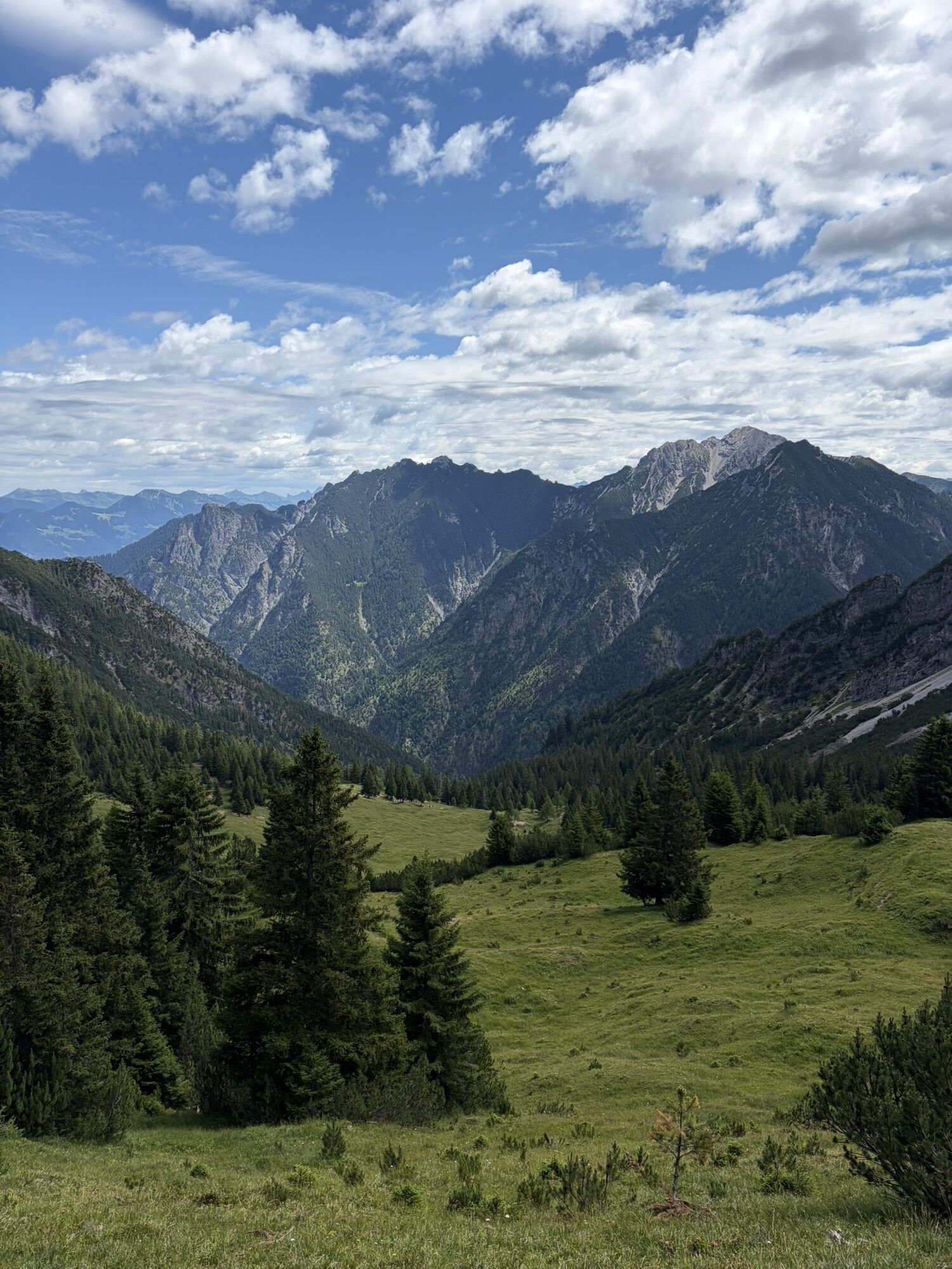
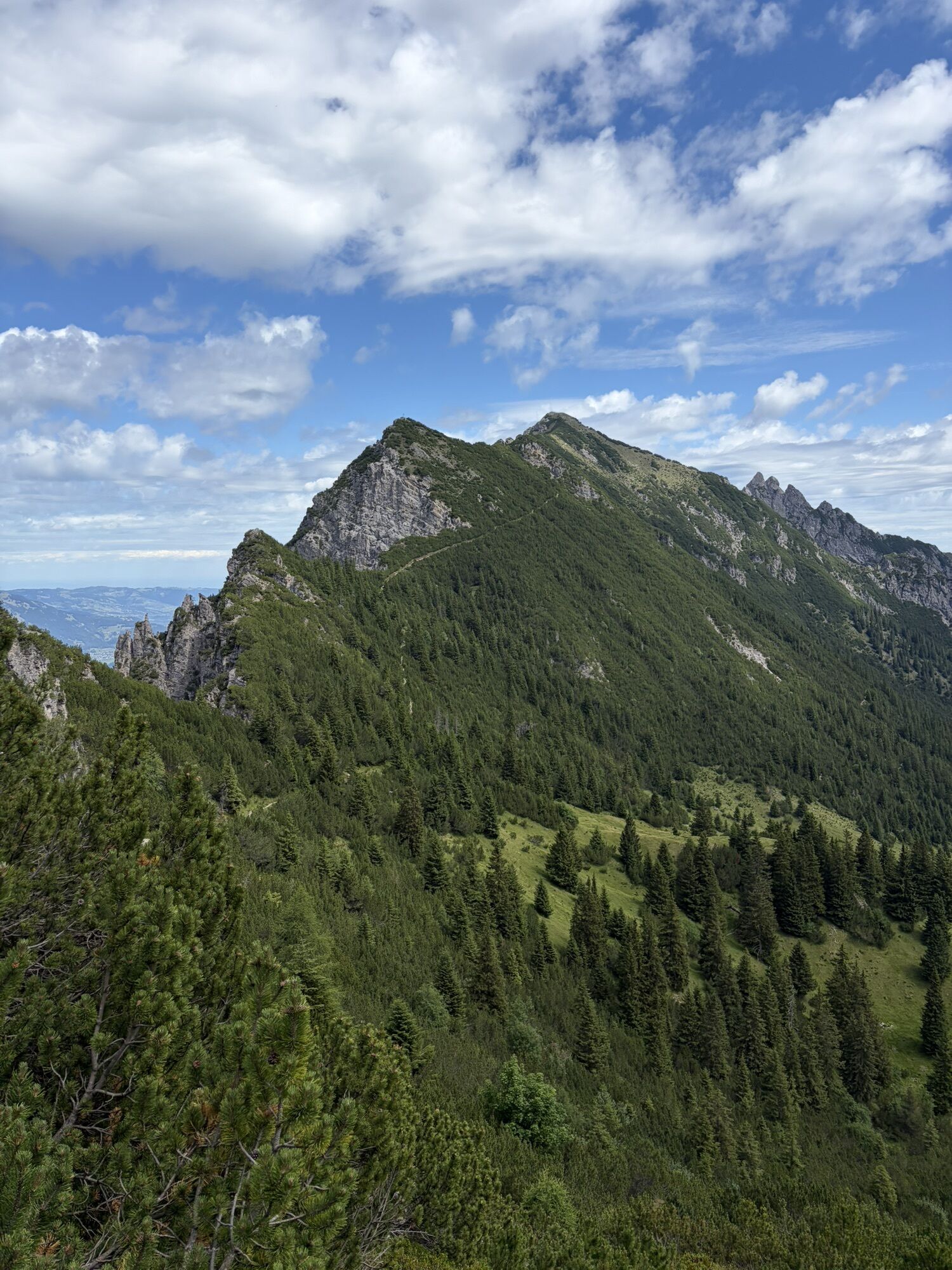
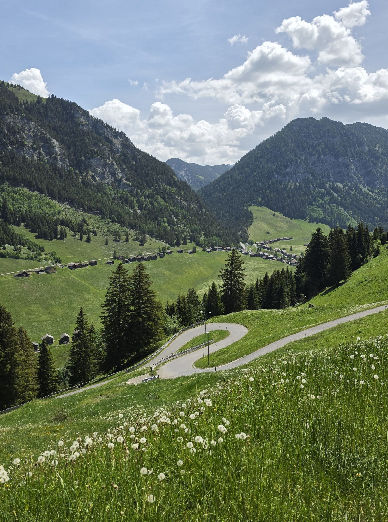
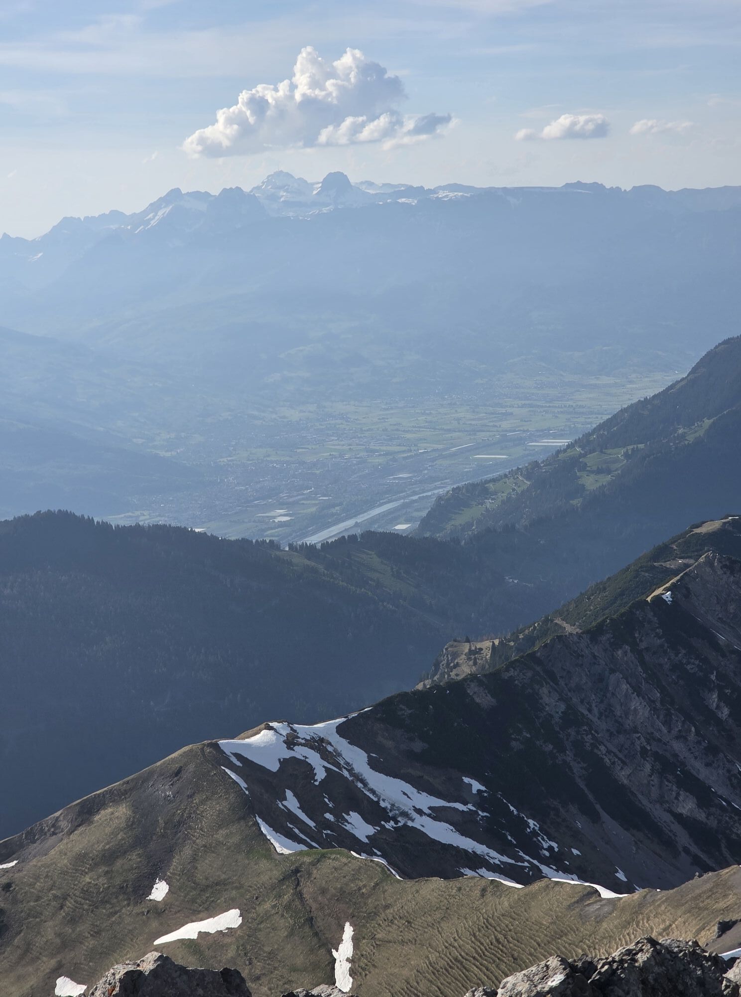

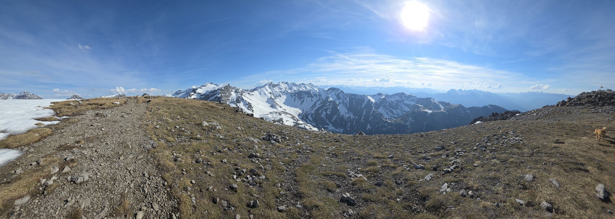
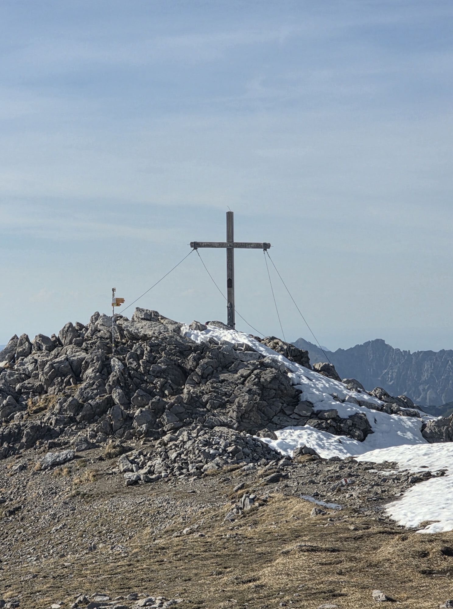
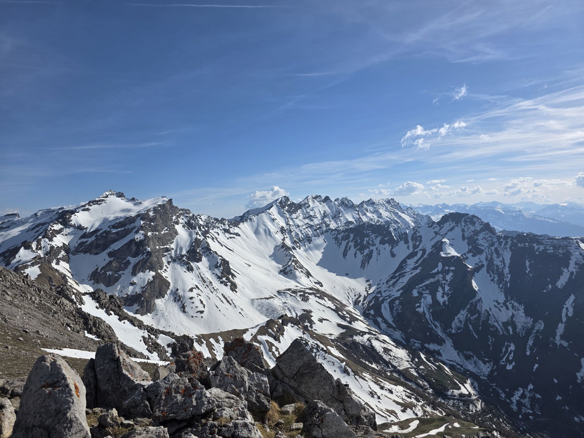
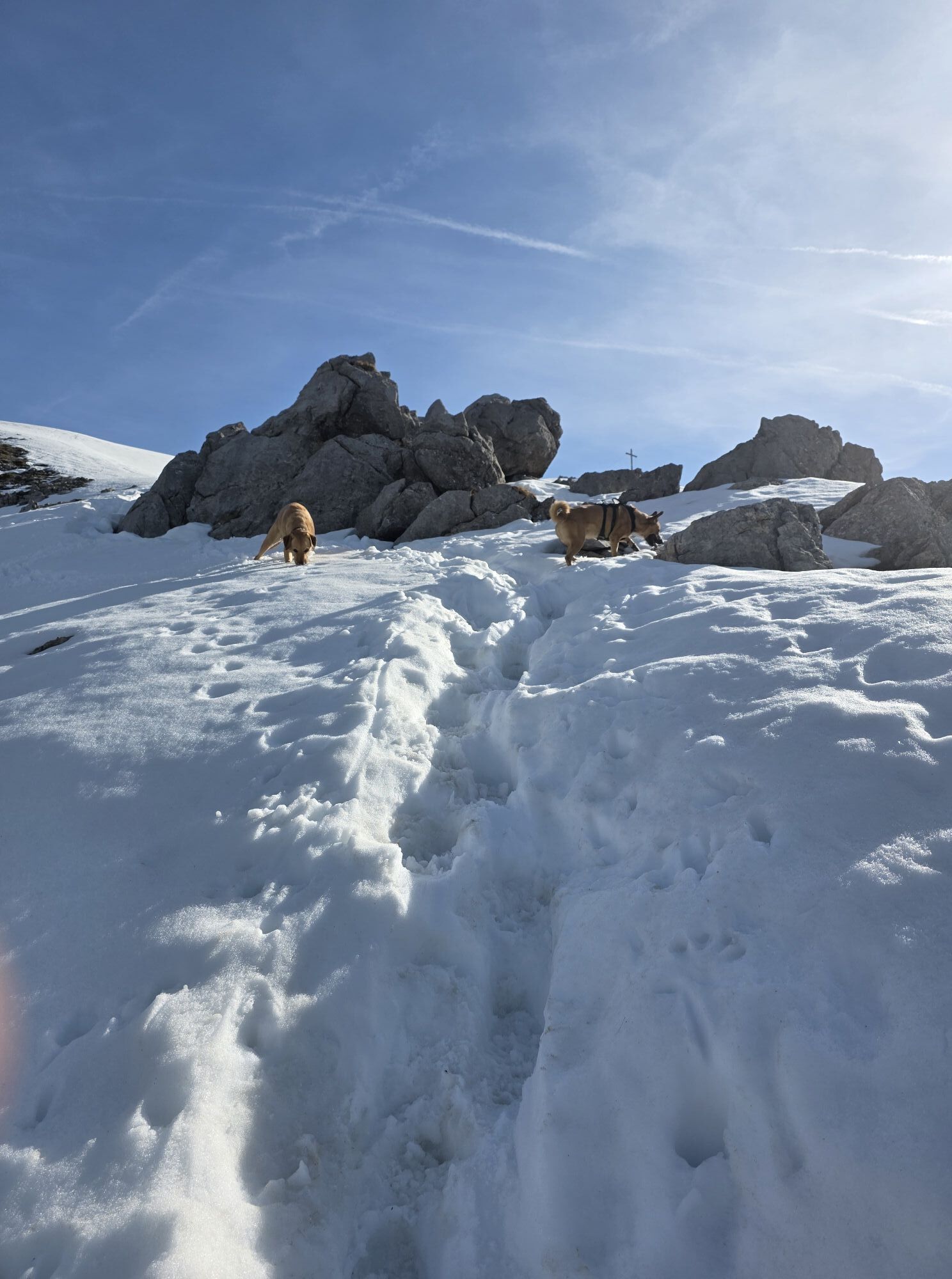
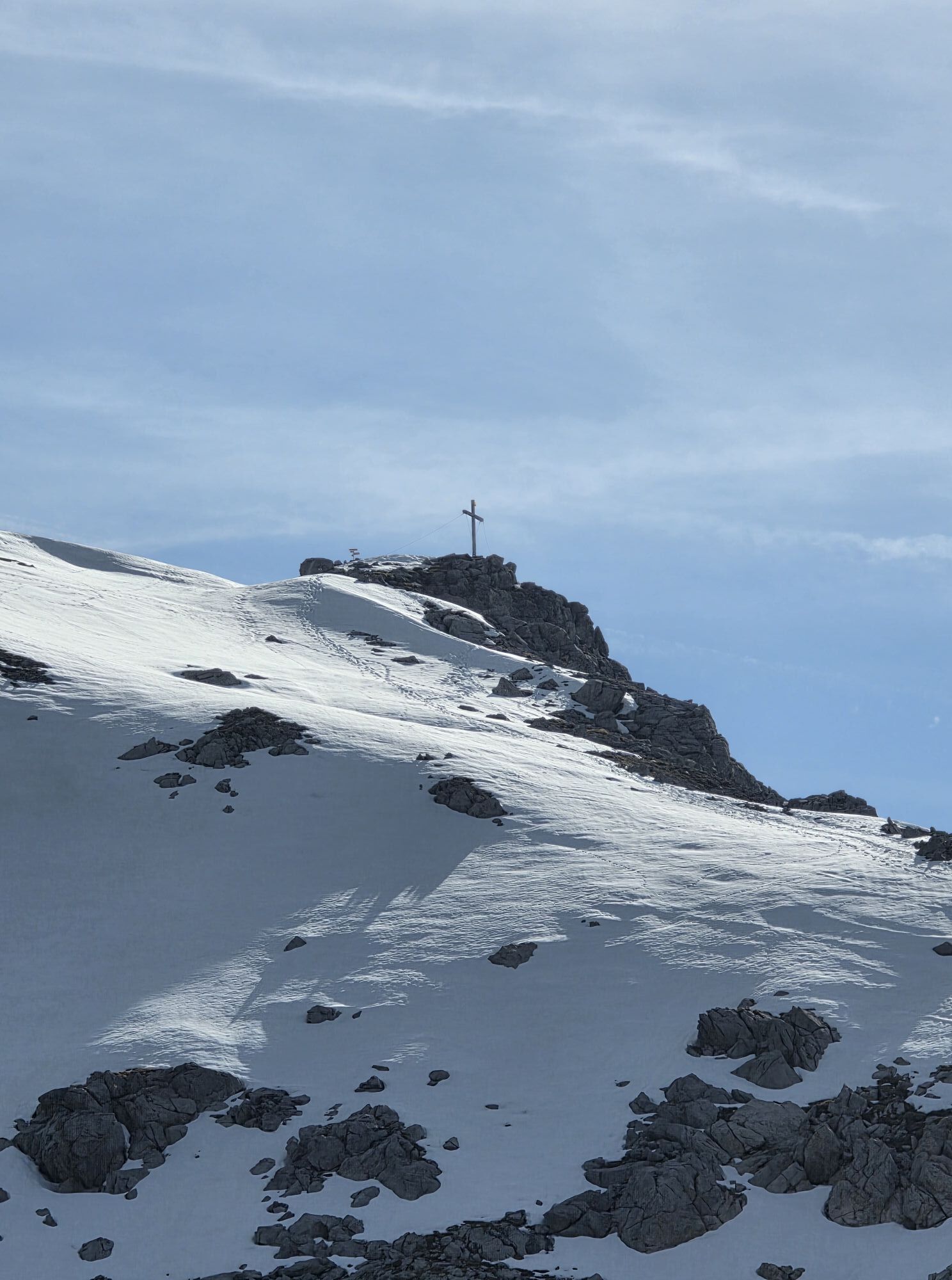
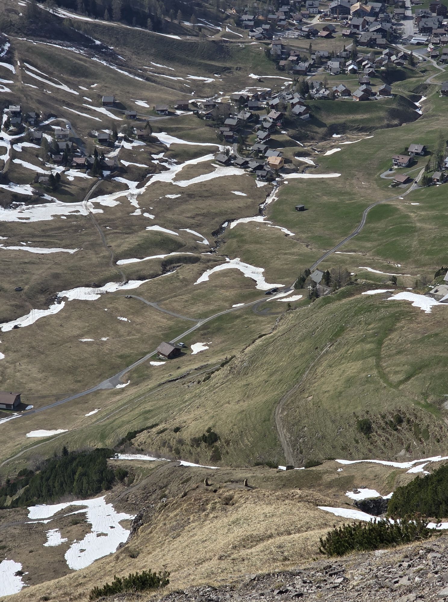
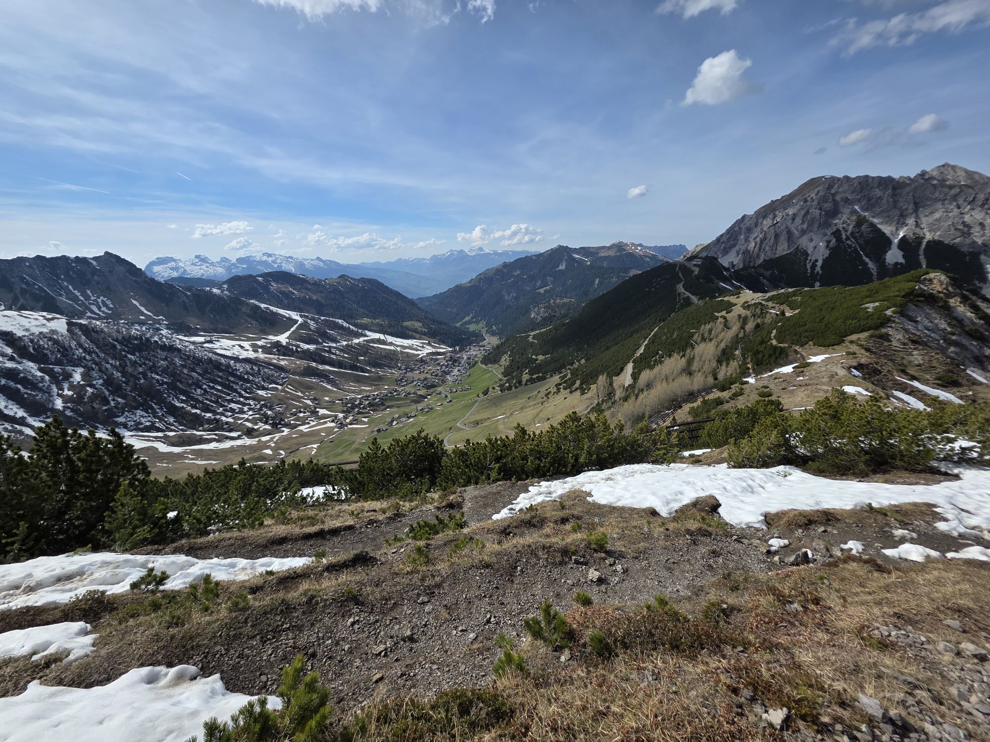
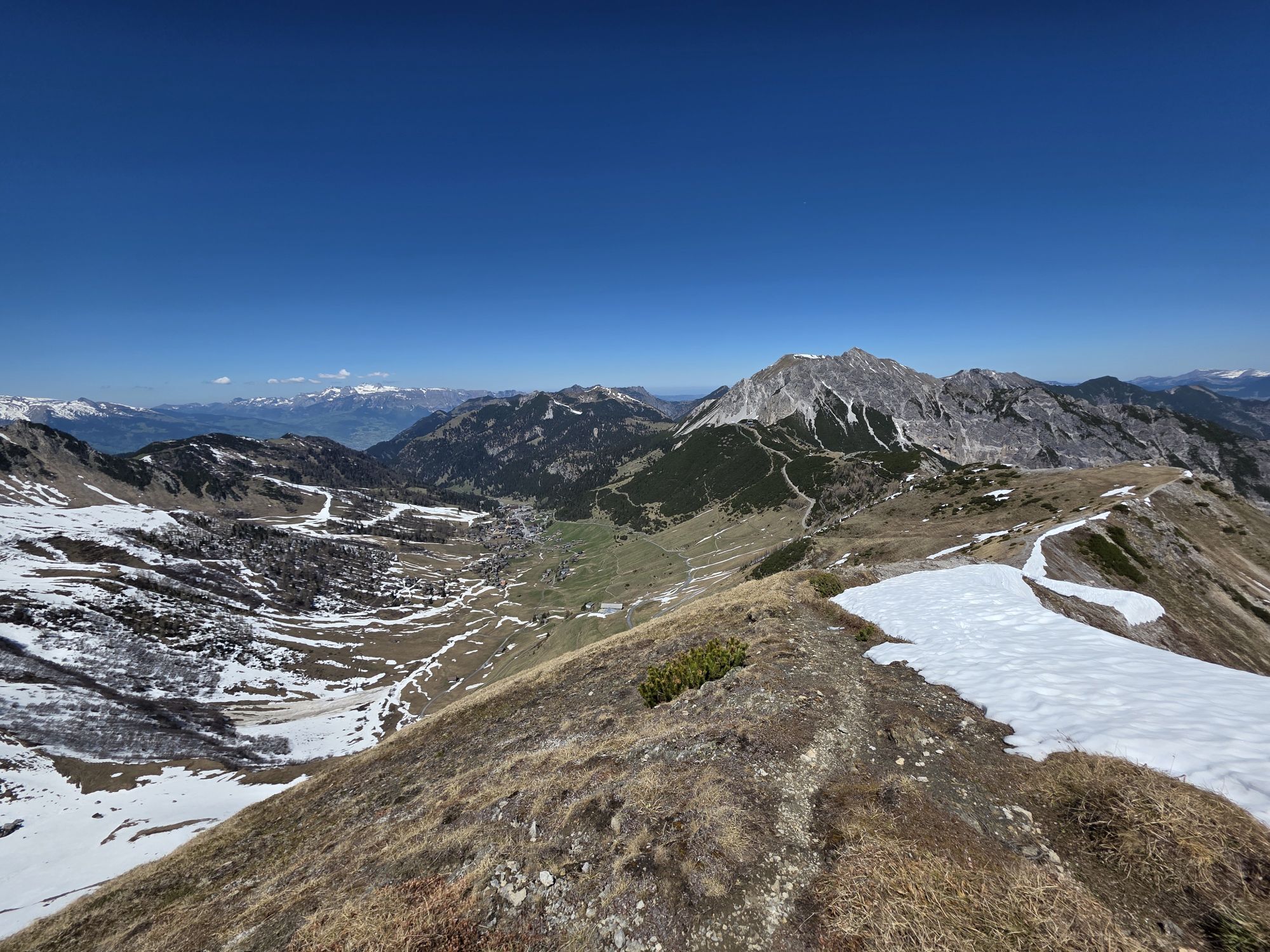
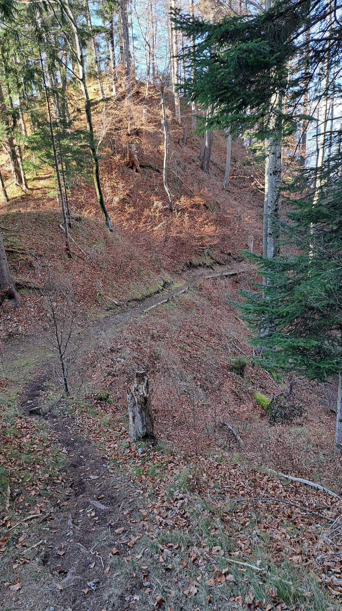
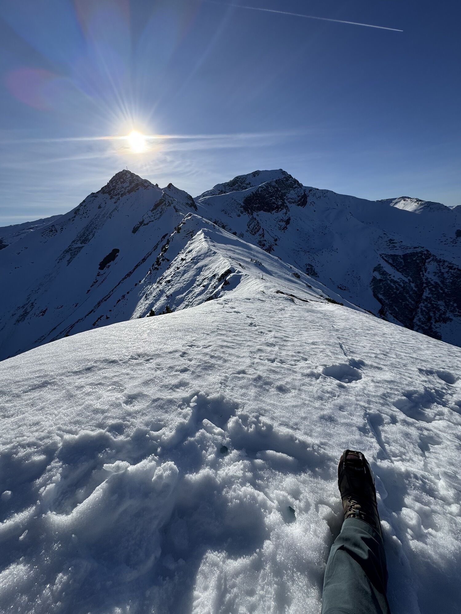
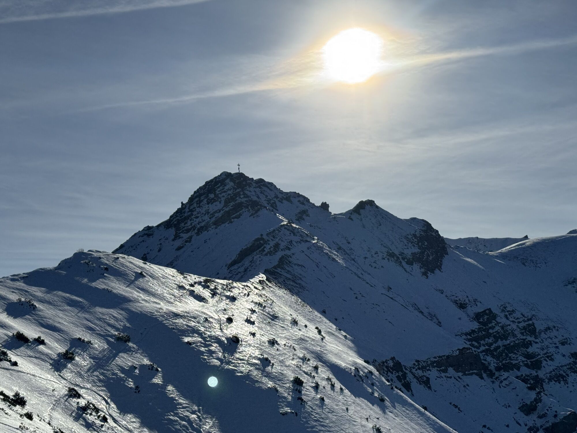
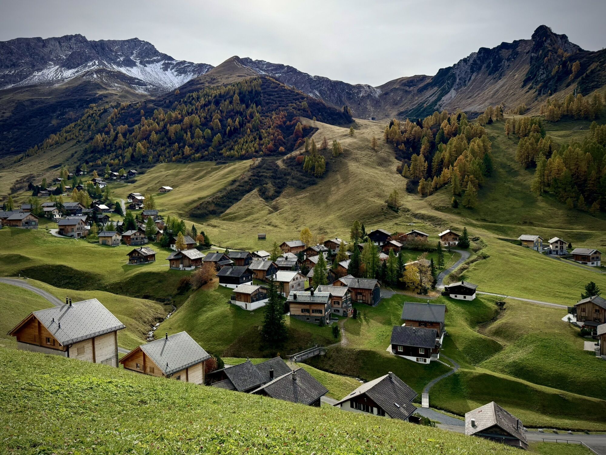
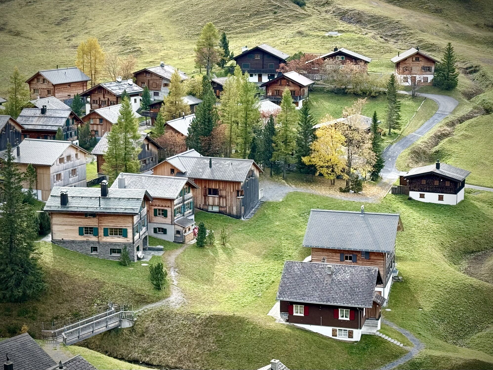
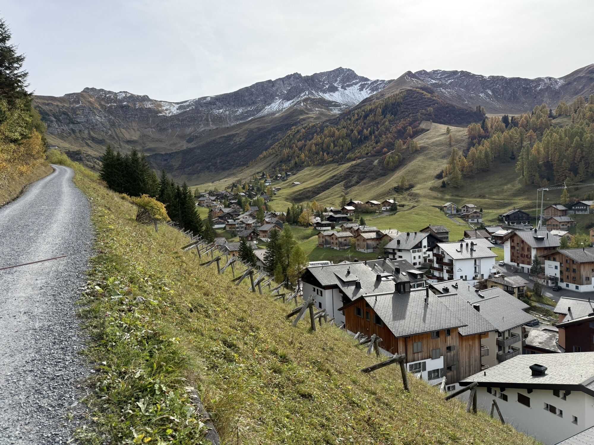
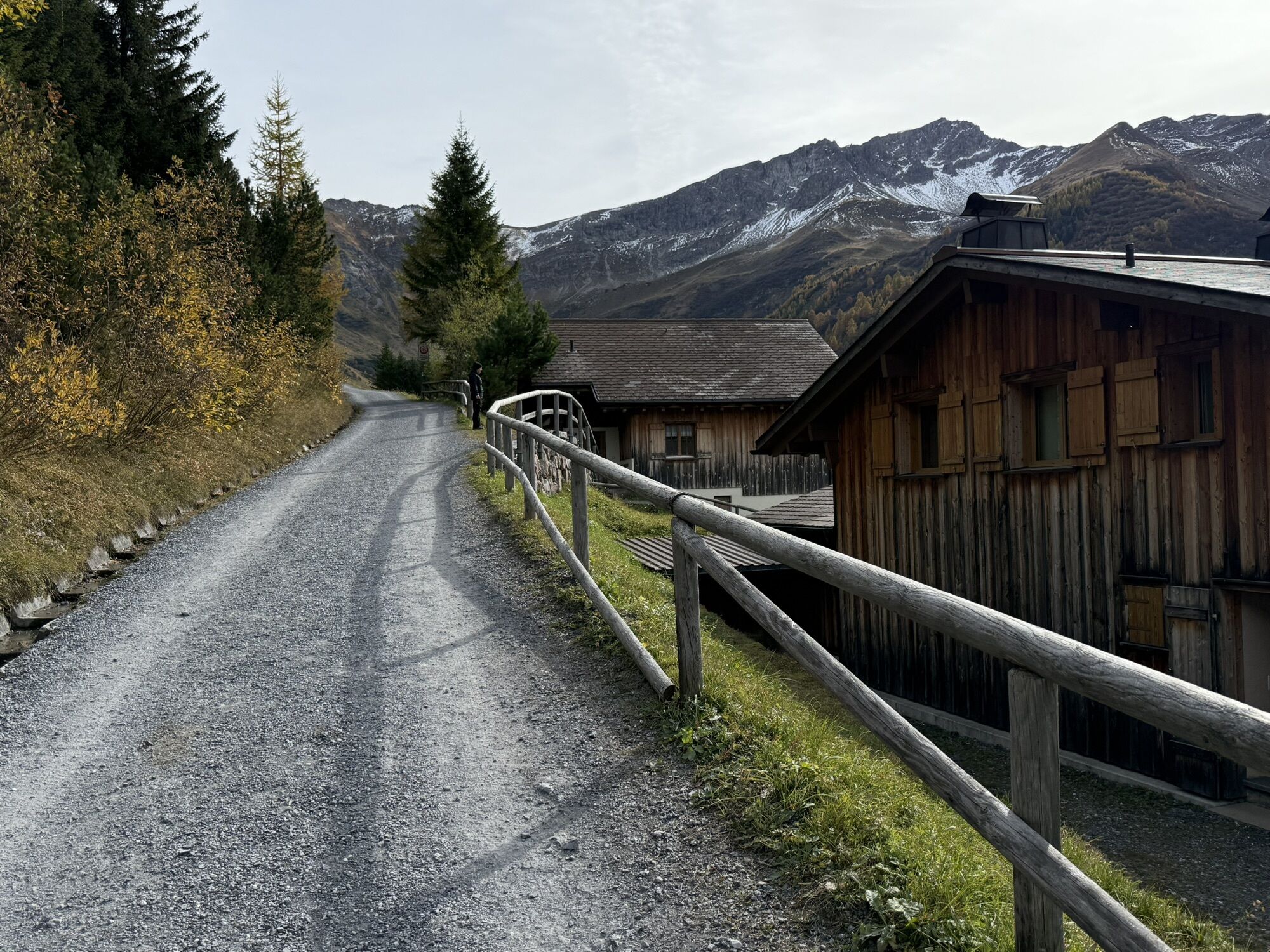
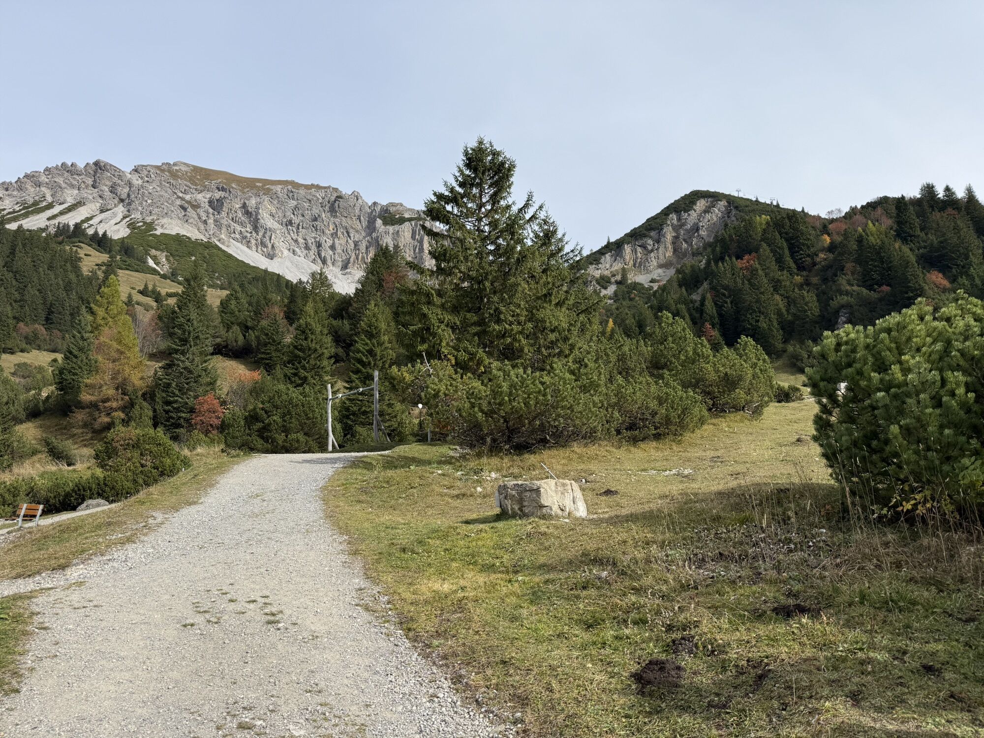
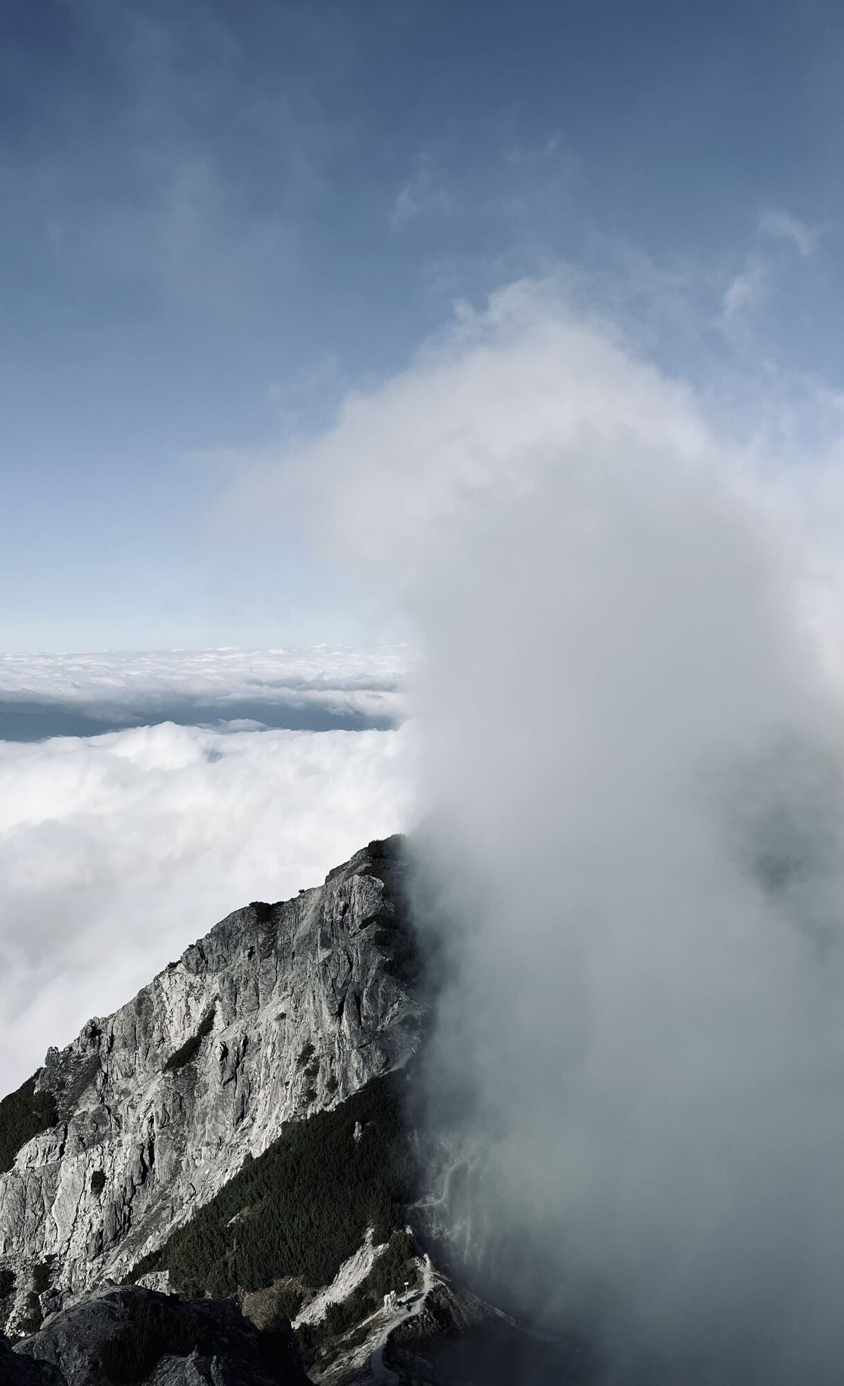
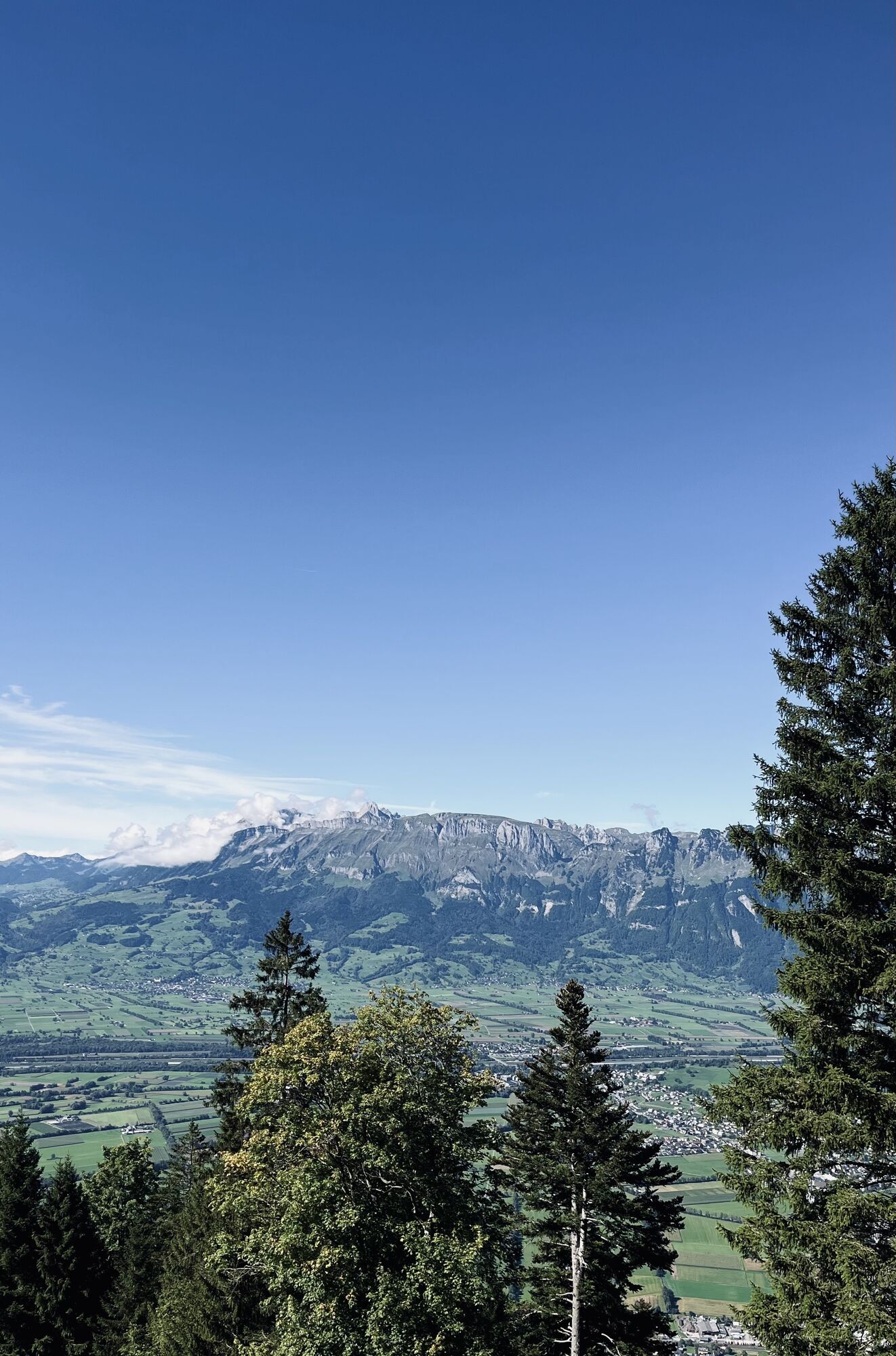
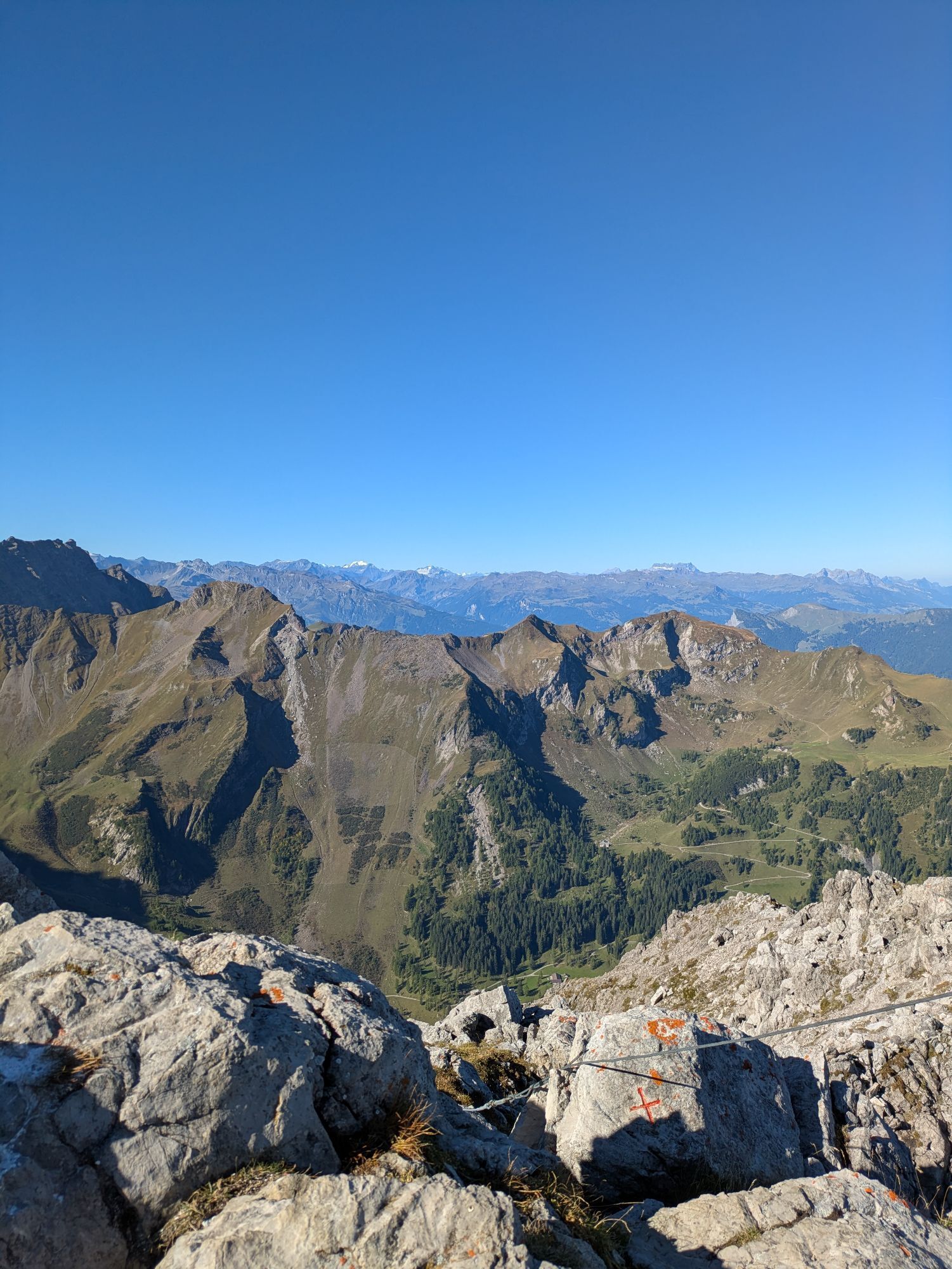
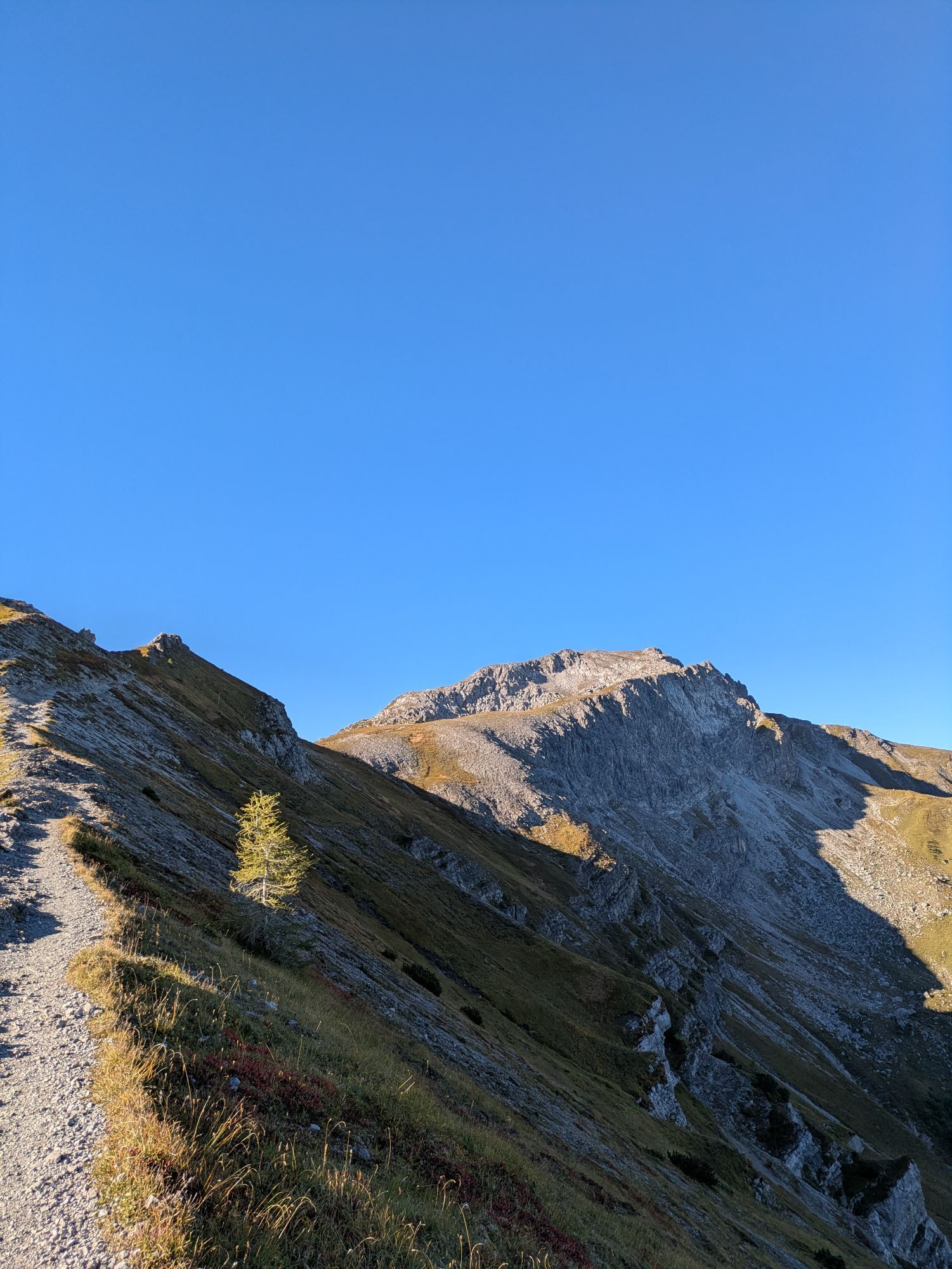
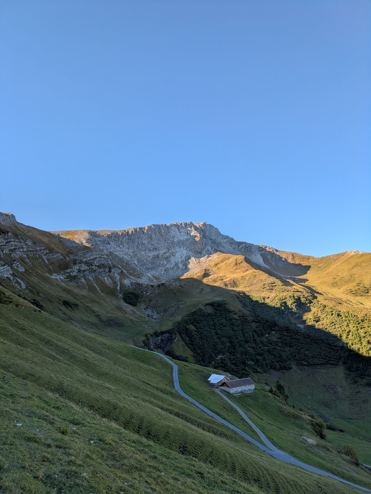
The first stage starts in the family-friendly vacation resort of Malbun. The Fürstin Gina Trail takes you up to the Augstenberg at 2359 m above sea level, the highest peak in Liechtenstein that is not...
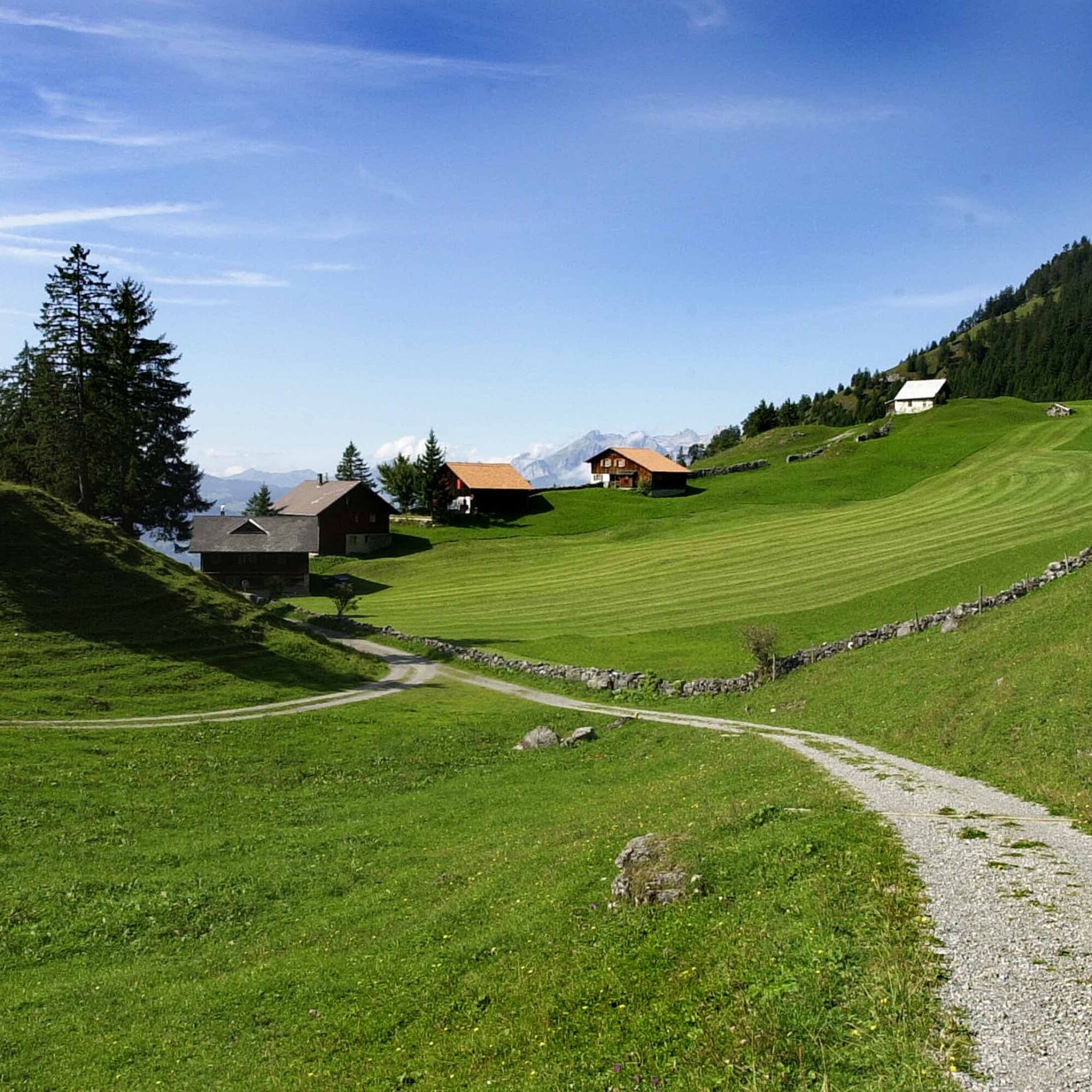
The next day, the 2nd stage takes you leisurely through the Naaftal valley towards Steg. From here you have the option of continuing on foot to Gaflei or Triesenberg and spending the night in the MATU mountain inn (Gaflei) or in the Hotel Kulm or Hotel Oberland (Triesenberg). If the hike is too much for you, you can also continue comfortably by public transport from Steg.
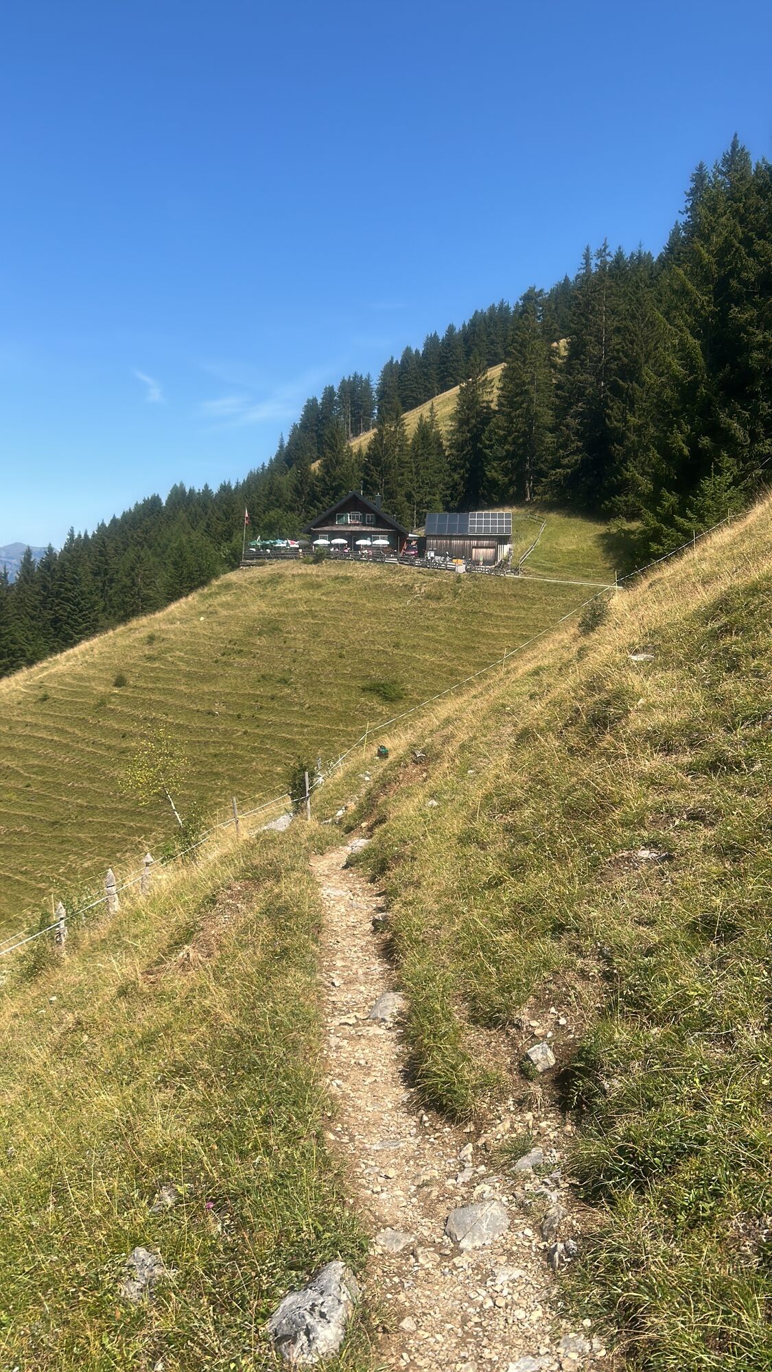
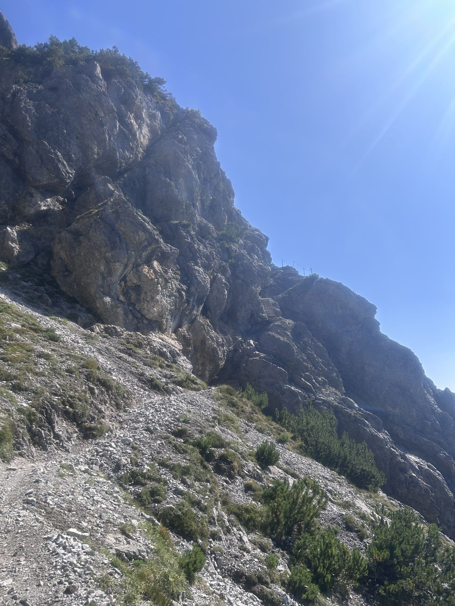
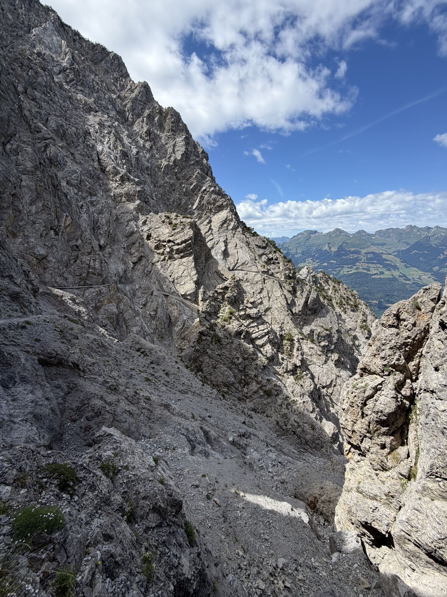
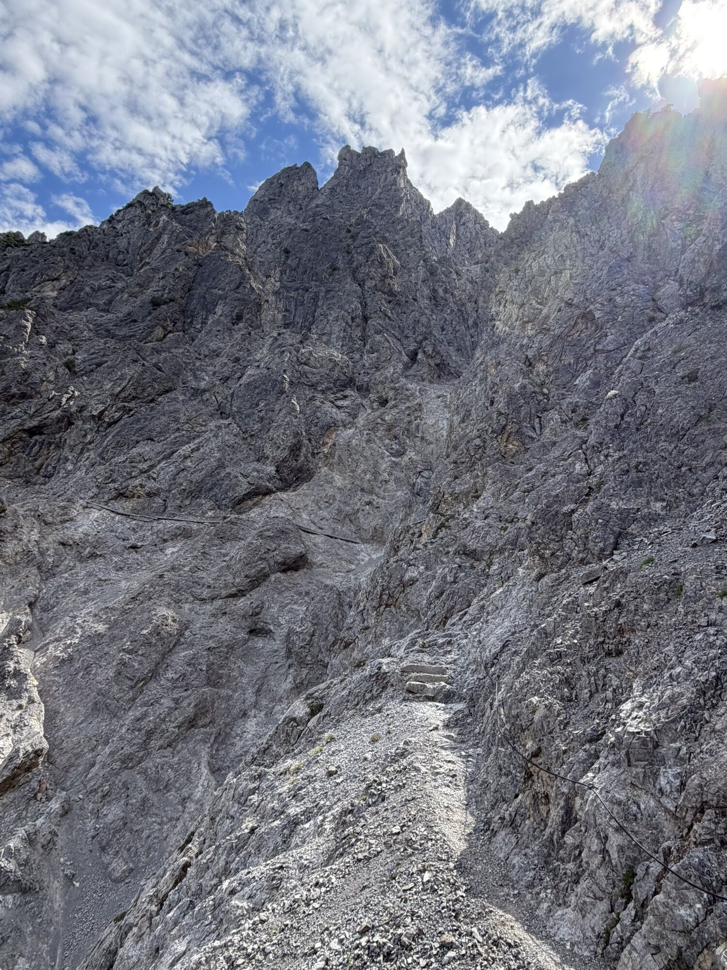
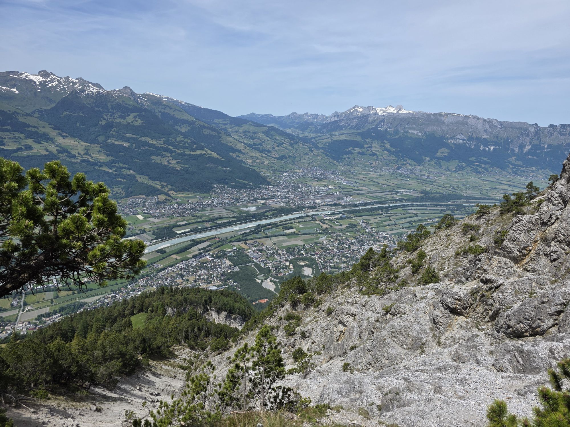
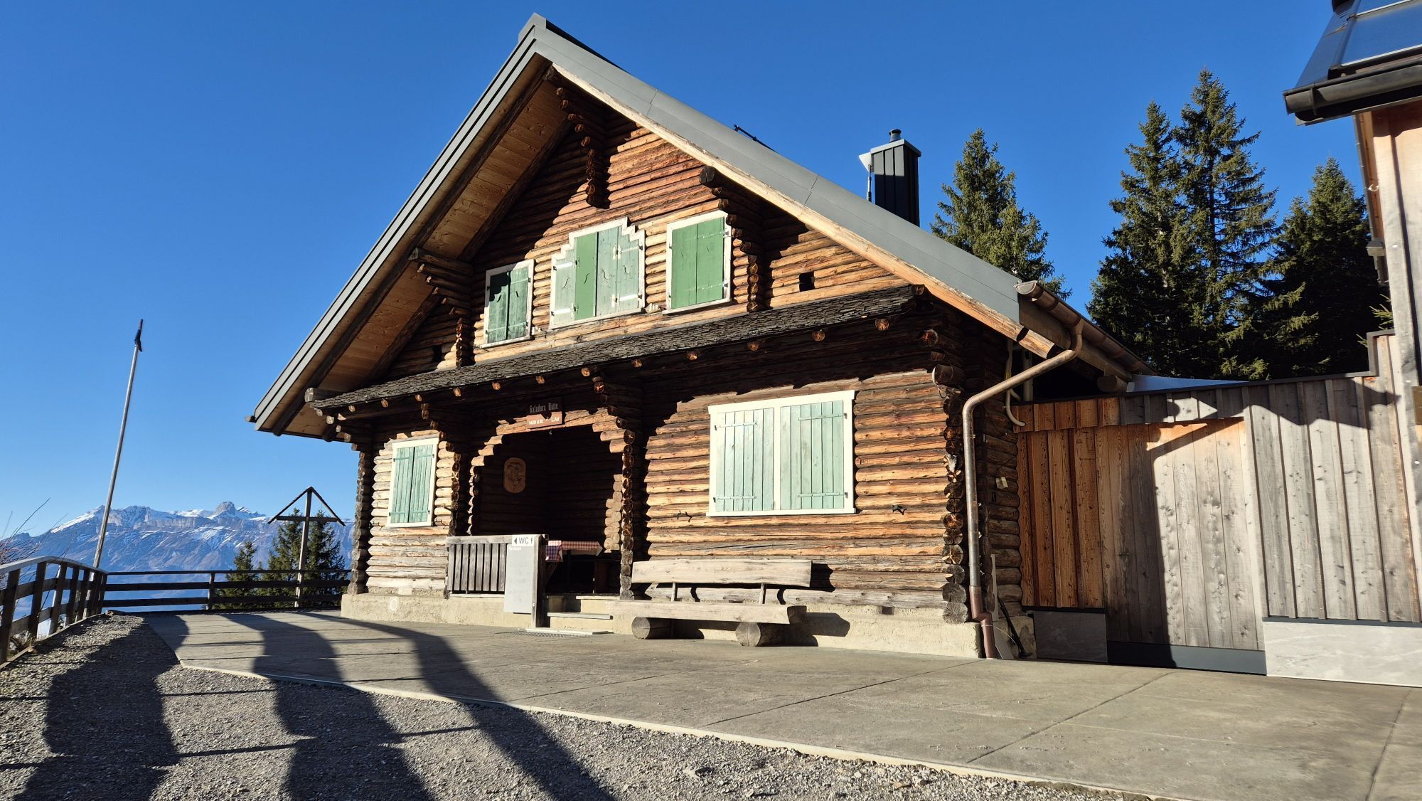
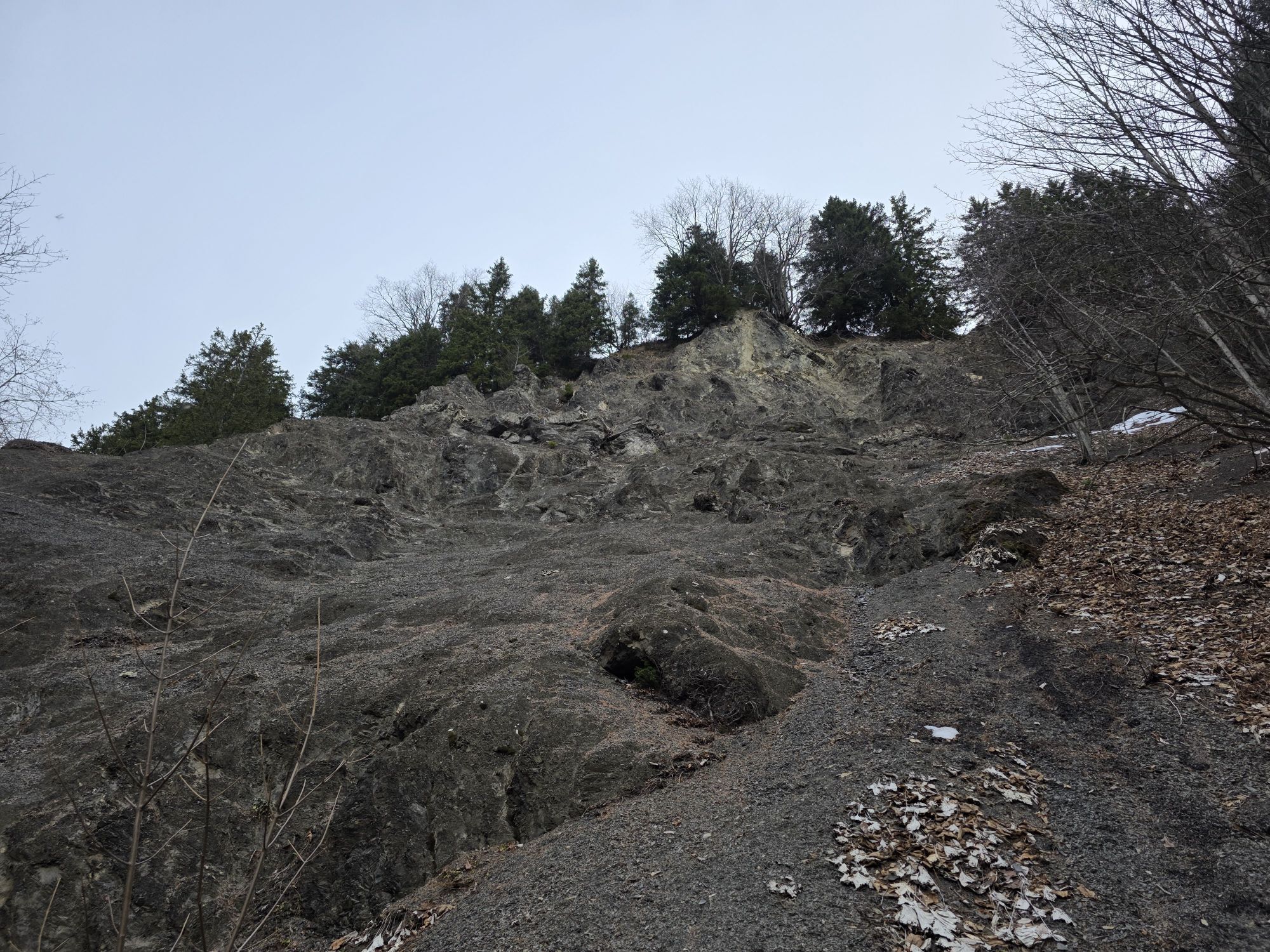
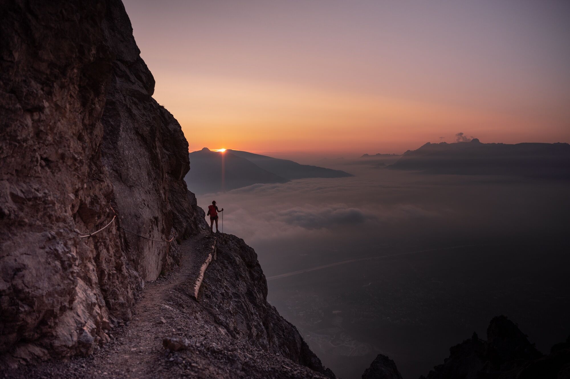
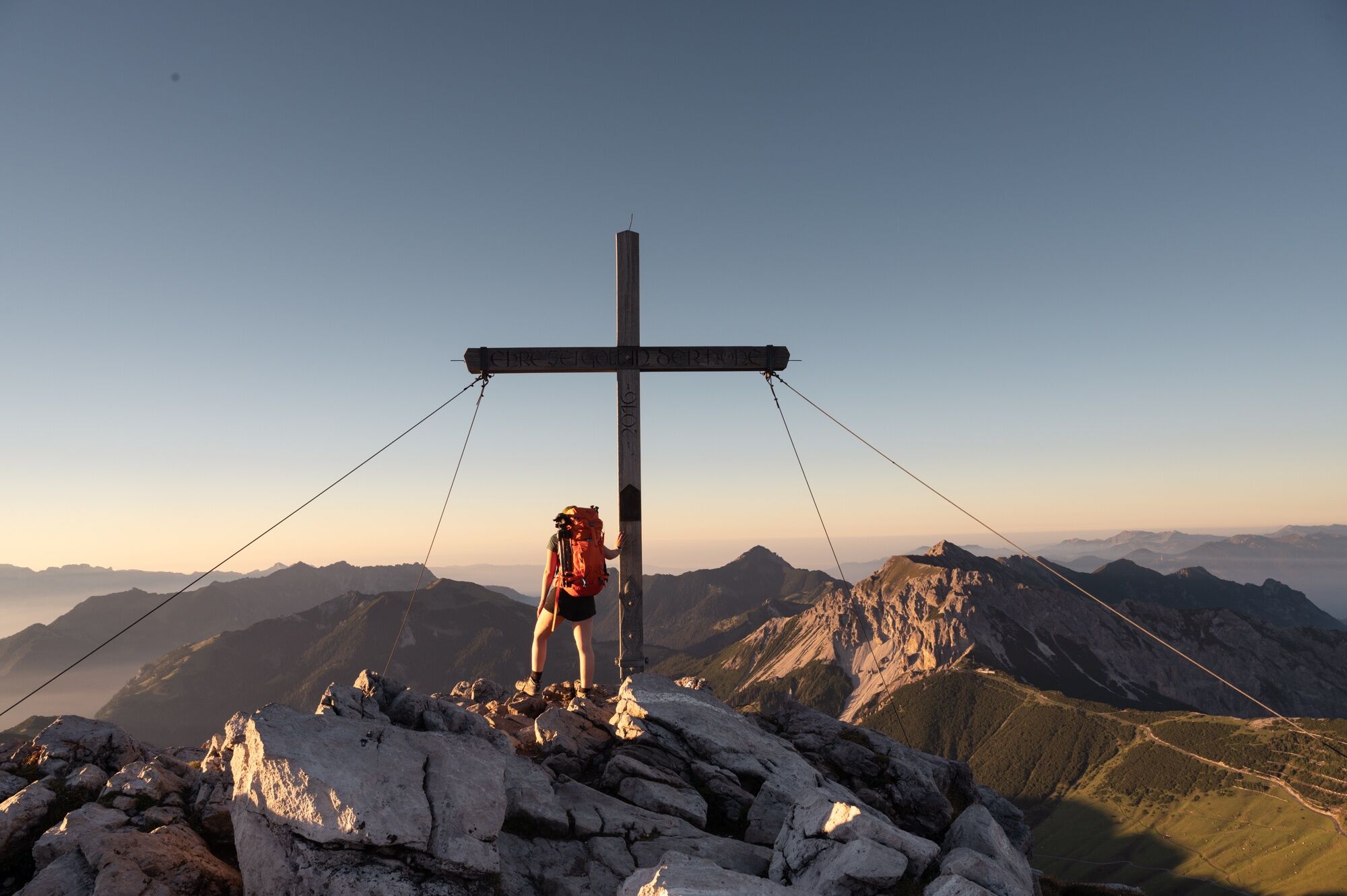
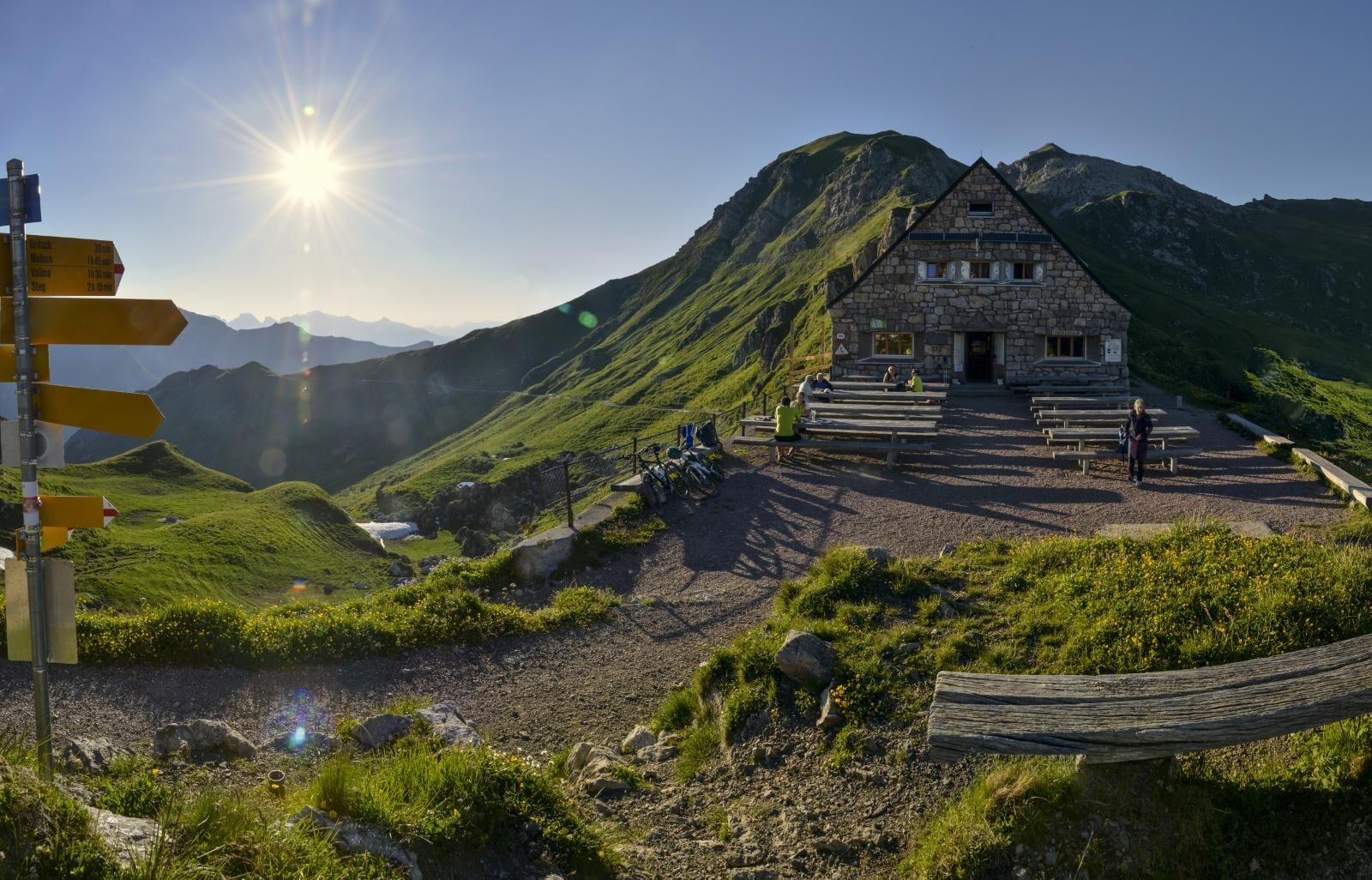
A classic awaits you on the third stage: the Fürstensteig is a unique experience for hikers with a head for heights and sure-footedness. Opened in 1898 and carved into the rock, it is one of the most famous paths in the Rätikon. After the impressive Fürstensteig, the legendary "Three Sisters" mountain range awaits. The Kuhgrat (2123 m above sea level) is the highest point of this varied stage, which offers an outstanding view of the Rätikon, the Swiss and Vorarlberg mountains. At the Gafadura hut, hikers can reflect on their impressions over a delicious snack before returning to Planken, from where they can travel home in comfort by public transport.
Here you can find all the information about hiking in Liechtenstein at a glance!

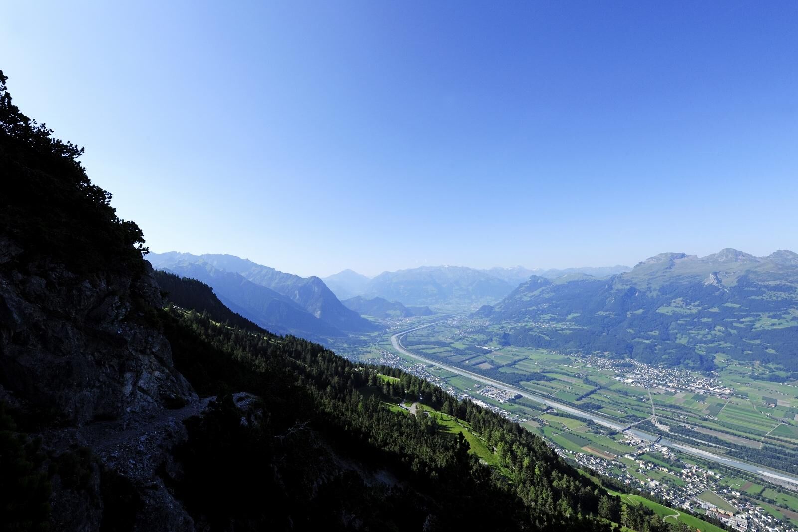
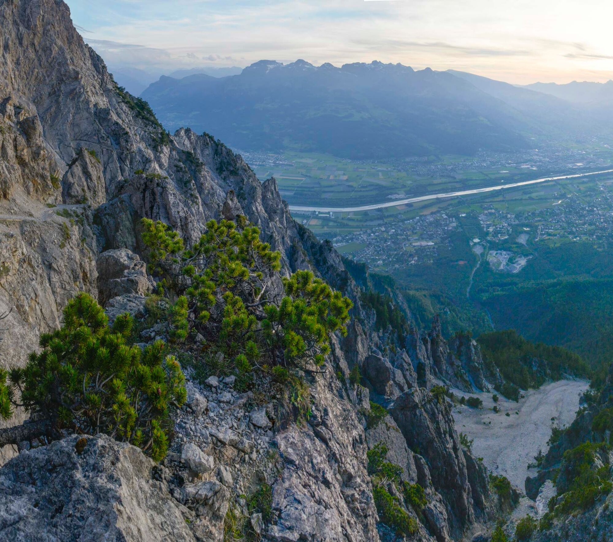
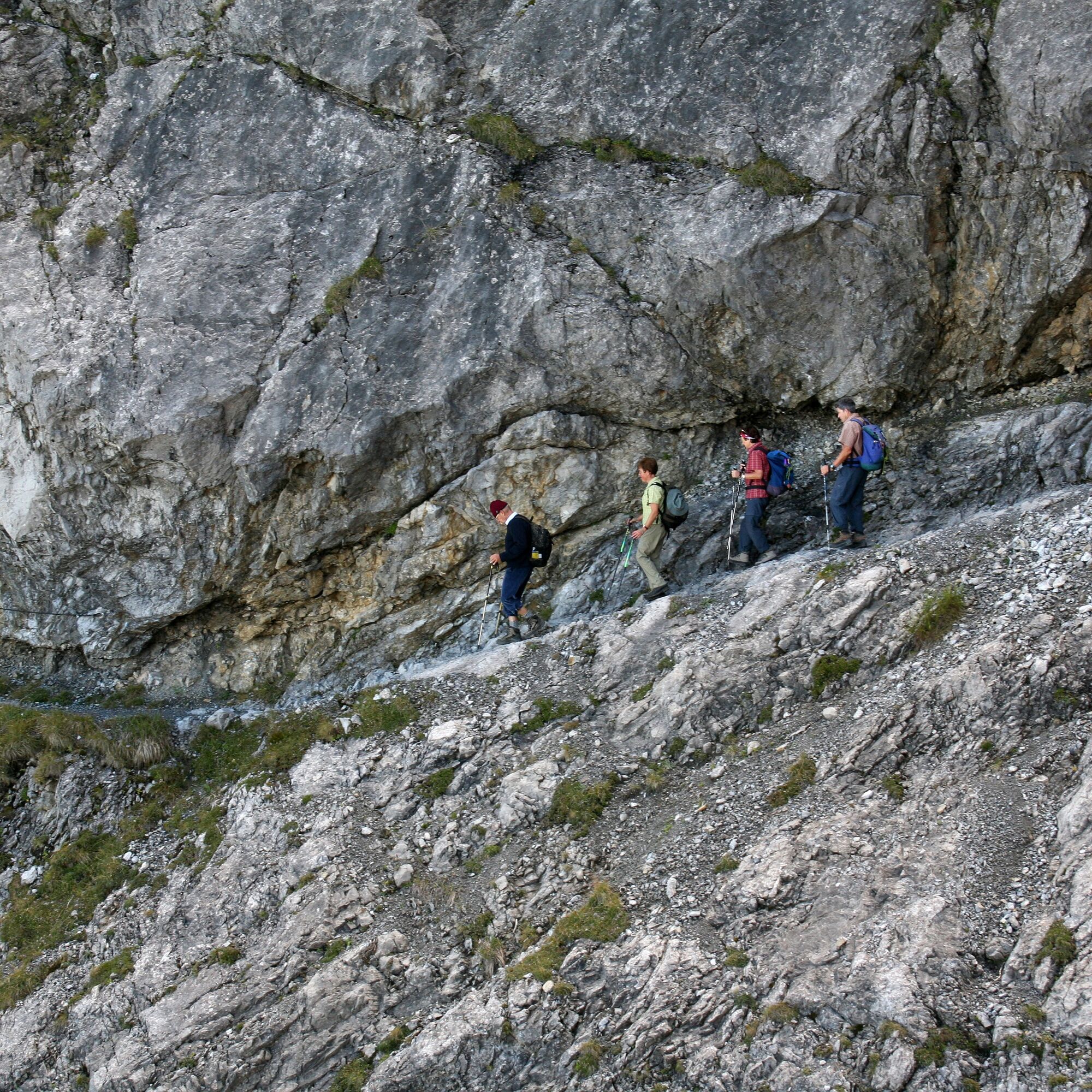
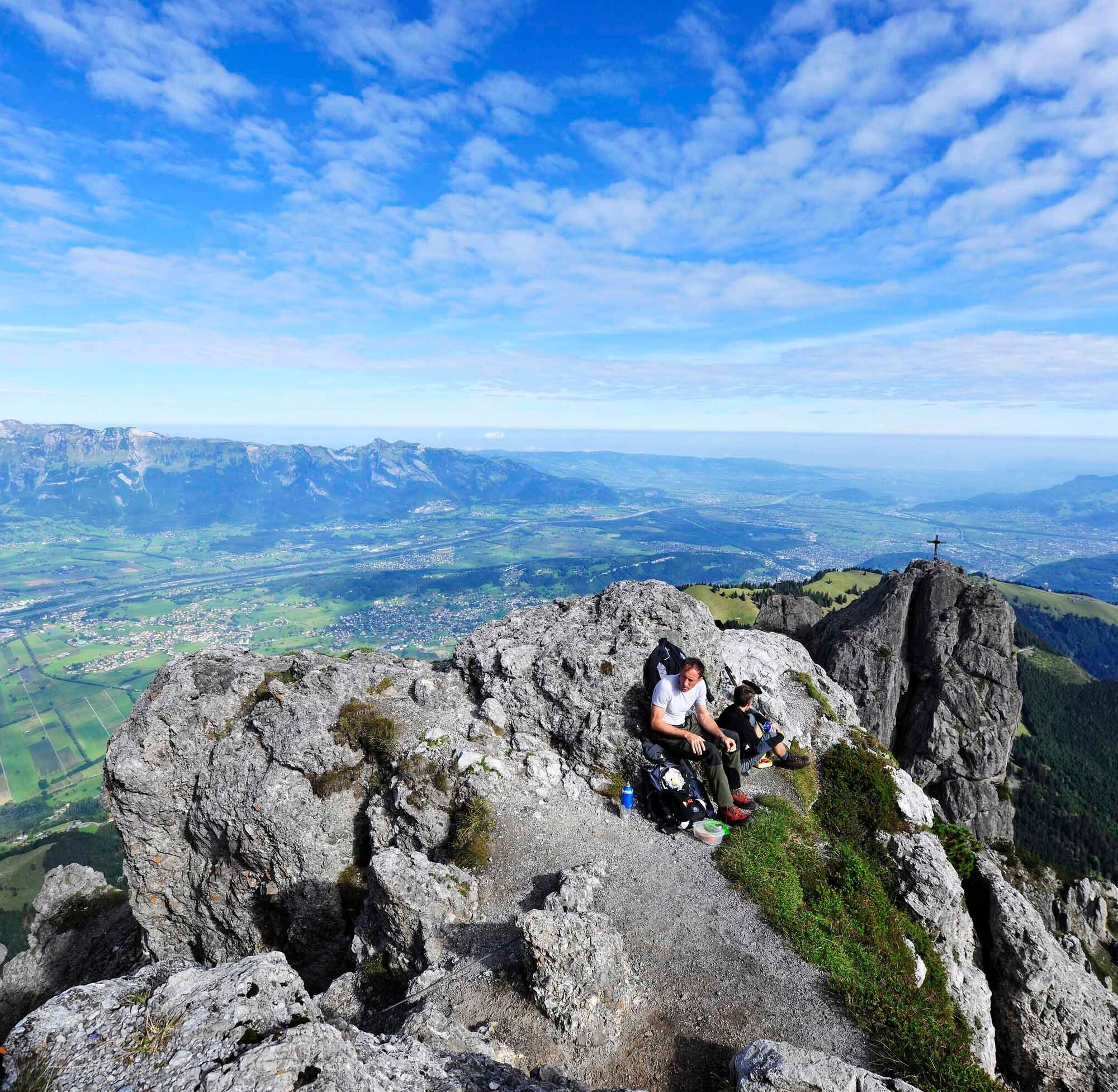
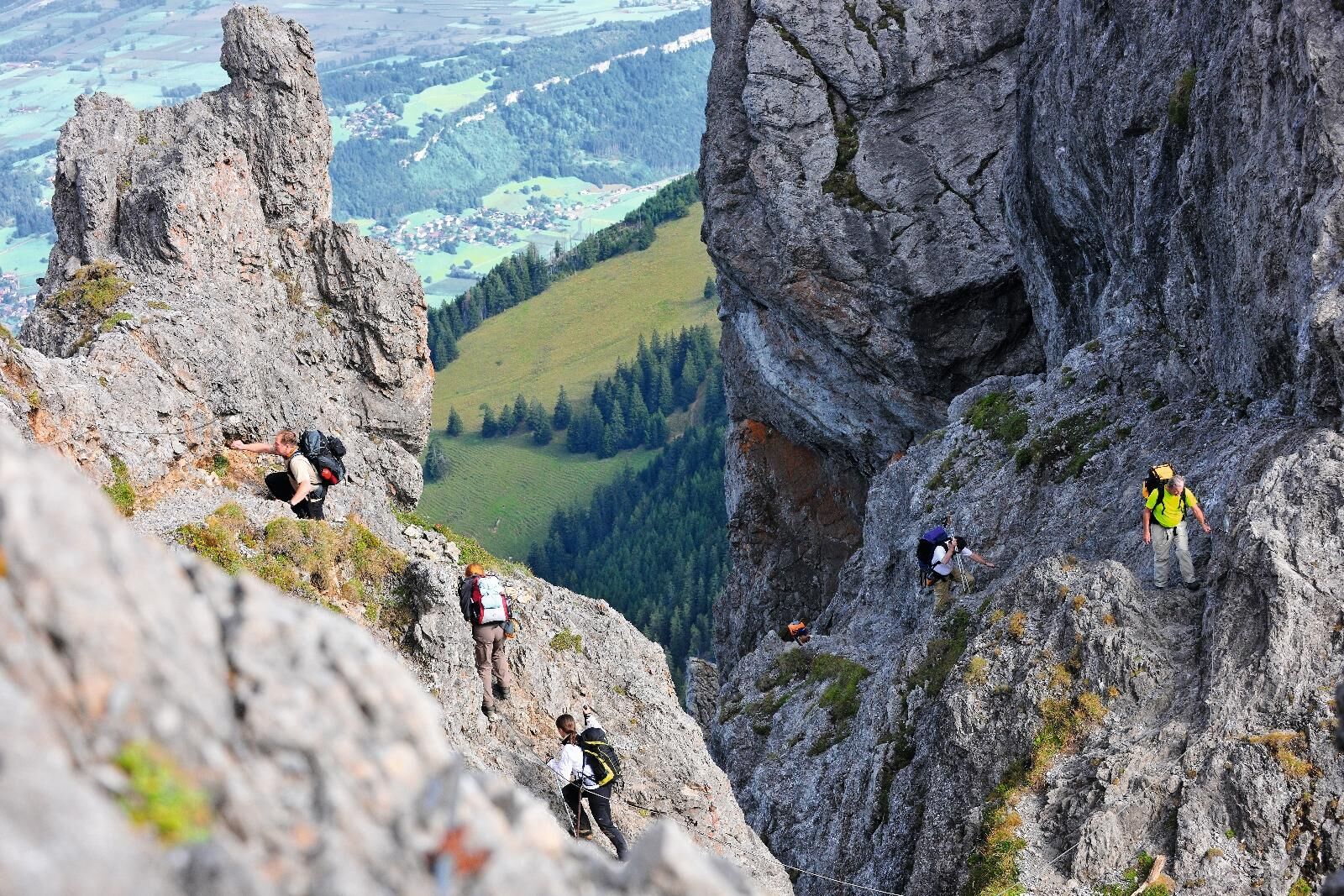
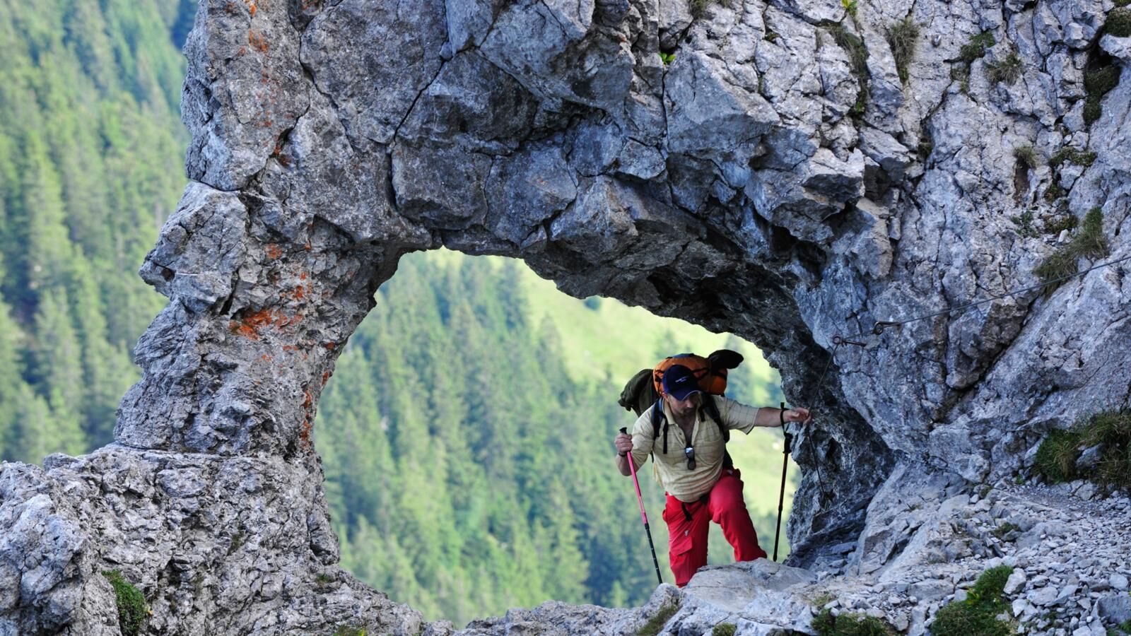
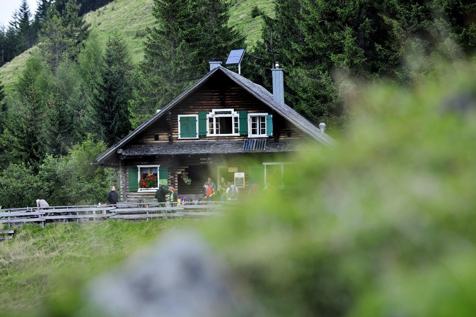

Malbun-Augstenberg-Pfälzerhütte-Steg-Gaflei-Fürstensteig-Kuhgrat-Drei Schwestern-Gafadurahütte-Planken
Da
It is possible to bypass the Fürstensteig on easier mountain paths (via Bärgällasattel).
It is possible to bypass the rocky paths of the Three Sisters on easier mountain trails (via Garsella Alpe/Garsella Eck).
Careful planning is required before embarking on a tour. We recommend that you check the routes and weather conditions with the local information offices beforehand. Depending on the season and weather conditions, this route may be closed or interrupted.
Highway A13, exit Vaduz, then to Malbun.
Bus route21 Vaduz-Malbun
There are public parking spaces at the entrance to Malbun.
T2
Pridobite vpogled Vedno v živo na mestu z več kot 9.500 spletnimi kamerami. bergfex Kot uporabnik Pro si lahko zdaj ogledate ustrezne spletne kamere za številne izlete v aplikaciji izleti iz. Tako si lahko neposredno ogledate trenutne razmere. 
Priljubljeni izleti v okolici
- 4.3
Mondspitze (Montspitze)
srednjaPohodništvo 7.97 km - 3.7
Fürstin-Gina-Weg
Pohodništvo 10.7 km - 4.6
To the summit cross of the Alpspitz
srednjaPohodništvo 6.02 km - 3.8
Sassweg - von Malbun zum Sass-Seelein
Pohodništvo 4.14 km - 4.9
From Malbun to the Schönberg
srednjaPohodništvo 12.4 km - 4.9
Schesaplana
srednjaVisokogorska tura 5.26 km - 4.7
Alvier
srednjaPohodništvo 3.33 km - 3.3
Wanderbares Zalimtal
srednjaPohodništvo 12.2 km - 3.6
Fürstensteig-Drei Schwestern
Pohodništvo 12.9 km - 4.9
Durch die Mengschlucht ab Nenzing
srednjaPohodništvo 7.19 km
Pohodništvo in sledenje


Ne zamudite ponudb in navdiha za naslednje počitnice
Vaš e-poštni naslov je bil dodan na poštni seznam.





